|
|
Hampshire
Hampshire on Wikipedia.
Abbots Ann, St.
Mary. SU 330 436. © Frank Riddle at http://hampshirecam.co.uk.
Another view, © Chris Kippin.
Aldershot.
Alton.
Alverstoke, St. Mary. From an old
postcard in Geoff Watt's Collection. Two modern views - 1, 2 - both © Kerry
Marriott. Link.
Ampfield, St. Mark.
Another view, and the
interior. SU 4065 2351. All
© Chris Kippin (2022).
Link.
Grade II listed - which dates it to 1838-41.
Amport, St. Mary. SU 299 442. © Les Needham.
Another view, © Chris Kippin.
Link.
Grade II* listed. The former
Primitive Methodist Chapel on Sarson Lane, now converted to
residential use. Some older maps show the chapel as being in a hamlet
called Sarson. The My Primitive Methodists
entry gives a building date of 1846.
Another view. SU 3070 4457.
Both © Chris Kippin (2020).
Andover.
Appleshaw, St. Peter in the
Wood. Interior view. SU 303
490.
Link.
Grade II listed. The former
Methodist Chapel of
1869, now in residential use. SU 304 487. All © Chris Kippin.
Ashe, Holy Trinity. SU 5343 4998. From an old postcard in Reg Dosell's Collection.
A modern view, © Chris
Kippin (2021), three more views -
1, 2,
3, the
porch and
lych-gate, all
© Karel Kuča (2025).
Link.
Grade II listed.
Ashley (near Lymington), St.
Peter. SZ 2552 9570. © Chris Kippin (2023).
Link. The
Baptist Church on Common Road.
SZ 2568 9542. © Chris Kippin (2023).
Link.
Ashley (near Winchester), St. Mary, now in the care
of the Churches Conservation Trust.
Another view, and the interior.
SU 3849 3090. All © Chris Kippin (2022).
Link.
Grade II* listed. A pair of tombs in the
churchyard is also listed, as
grade II.
Ashmansworth, St. James.
Another view, and two of
the interior - 1,
2. SU 410 566. All ©
Chris Kippin (2018).
Link.
Grade I listed.
Ashurst, the former Hospital
Chapel, originally serving the New Forest Union Workhouse. SU 3361 1032. ©
Chris Kippin (2023).
Avington, St. Mary. Two
interiors - 1,
2,
pulpit and tester, a
monument, and the
font. SU 5329 3225. All ©
Chris Stafford (2014). Two interior views - 1,
2, both © Christopher Skottowe (1965).
Link.
Grade I listed.
Awbridge, All Saints. It's dated
to 1876 in its
grade II listing. Another view,
and the interior. SU 3240
2346. All © Chris Kippin (2022).
Link. A
former
Independent/Congregational Chapel stands in the village at SU 3347
2342. © Chris Kippin (2022).
Bartley, the former church on
Bourne Road and Shepherds Road, now the village hall. It appears to not
have had a dedication (Genuki).
SU 3143 1227. © Chris Kippin (2023).
Old O.S. maps show a Baptist Chapel on
Pundle Green at SU 3083 1279. It pre-dates a map of 1897. The
bungalow on the site
was seen by Streetview in 2009.
Barton-on-Sea, Methodist
Church (1971, extended 1999) on Cliffe Road. The church was founded in
1931. SZ 232 933.
© Richard Roberts (2018).
Link.
Barton Stacey, All Saints.
SU 434 411. © Chris Kippin.
Link.
Grade II* listed.
Bashley, St. John the Baptist. SZ
2434 9733. © Chris Kippin (2023).
Link.
Basingstoke.
Baughurst, St. Stephen. SU 582 600. © Roy
Graham. Link.
Beaulieu, the church at Beaulieu Abbey.
SU 3884 0263. From an
old postcard in Steve Bulman's Collection. A modern view,
and the interior, both © Aidan McRae Thomson.
The cloister, seen in
an old postcard from Christopher Skottowe's Collection. Link.
The Mortuary Chapel in
Beaulieu Cemetery on Lodge Lane dates from the late 19th century. SU 383
013.
© Richard Roberts (2018).
Beauworth, St. James.
Another view. SU 5764 2608.
Both © Karel Kuča (2023).
Link.
Grade II listed - dates it to 1838. O.S. maps also show in the
village Church (Site of) a short walk to
the S.E., at SU 5778 2598. Its site isn't well seen on Streetview, but
it stood somewhere near the tall trees seen
here in 2023. I
haven't been able to discover anything about it.
Bentley, St. Mary. SU 784 446.
© Chris Kippin.
Link.
Grade II* listed.
Bentworth, St. Mary. SU 665
402.
© Chris Kippin.
Link.
Grade II* listed.
Bighton, All Saints. The
interior,
screen, painted
ceiling and
font. SU 6102 3449. All
© Chris Kippin (2022).
Link.
Grade I listed.
Binsted,
Holy Cross. SU 7715 4094.
© Chris Kippin. Link.
Grade I listed. The churchyard war memorial is also listed as
grade II. The village also used to have a
Wesleyan Methodist Chapel, on The Street. Present by 1896, it
seems to be the same building shown on a map of 1872 as Mission Room
and School. Still apparently active in 1948, it seems to have closed
soon thereafter. The building on the site today is called
Wesley House
(2022 Streetview). Does anything of the chapel survive? SU 7738 4108.
Bishop's Sutton,
St. Nicholas. SU 6060 3201.
© Chris Kippin. Link.
Grade I listed.
Bishop's Waltham, St.
Peter.
SU 5556 1767.
© Chris Kippin.
The interior and
pulpit, both ©
Chris Kippin (2023).
Link.
Grade II* listed.
Christian Fellowship on
Basingwell Street Upper. SU 5547 1749. © Chris Kippin (2021).
United Free Church
(Methodist and U.R.C.) on
Basingwell Street Lower and Little Shore Lane. It declares itself to have originally been
Primitive Methodist. Its My Primitive Methodists
entry dates it to 1910. SU 5549 1745.
© Chris Kippin (2021).
The King's Church on
High Street. SU 5538 1749. © Chris Kippin (2021).
Link.
Our Lady Queen of Apostles
(R.C.) on Martin Street. SU 5478 1741. © Chris Kippin (2021).
Link, wherein
it's dated to 1977.
Bishopstoke.
Bisterne,
St. Paul. SU 1489 0121. © Chris Kippin (2023). Link.
Grade II listed - dates it to 1842.
Bitterne, Southampton.
Blackfield,
the Baptist Church on Hampton Lane. SU 4425
0240.
© Chris Kippin (2023).
Link.
What is likely to have been its predecessor shows on earlier maps
further south, at SU 4411 0188. A map of 1871 labels it as
Baptist Chapel (Particular), Aerial views
suggest there may be something on the site, but it's heavily wooded, and
it can't be seen on Streetview.
Blackmoor,
St. Matthew. SU 7805 3357. From an old
postcard (franked 1907) in Steve Bulman's Collection. A
modern view,
© Chris Kippin.
Link.
Grade II* listed - dates it to1868. See
here
for related listed features.
Boldre, St. John the Baptist.
SZ 3237 9931. © Barbara Barklem.
Another view, © Marion Hall. Interior
view, © Graeme Harvey.
Link.
Grade II* listed. See
here for related listed features.
Bossington,
St. James (1839). SU 3361 3093.
© Chris Kippin 2020).
Link.
Grade II listed (the grid reference quoted therein is inaccurate, at the
time of writing). Less than a mile to the S.S.W. is the site of a
Chapel (indicated in the font used for
ancient sites) at Pittleworth Farm. There were evidently visible remains
when older O.S. maps were surveyed, but later maps only show it as a
site. It lies within the woodland seen in a
Streetview in
2025. SU 3283 2971.
Botley,
All Saints, and its clock.
SU 5115 1301. Both © Chris Kippin (2023).
Link.
Grade II listed, wherein it's dated to 1836 with later additions. The war
memorial in the churchyard is also listed, as
grade II. St. Bartholomew stands
to the S.W.of teh village. Older
maps label it as All Saints. SU 5104 1195.
© Chris Kippin (2023).
Grade II* listed, wherein it's stated that the church is the chancel of a
larger church, the nave of which was demolished in 1836. Note that as it forms
part of the Manor Farm visitor attraction, entry to the church requires a
payment. © Chris Kippin (2023).
Victory Chapel (Nigerian Anglican) meets in the
Market Hall, which was seen by
Streetview in 2023. Link dates the
congregation to 2020.
Bradley,
All Saints. Another view. SU 6357 4181. Both ©
Karel Kuča (2023).
Link.
Grade II* listed.
Braishfield,
All Saints. Interior view, and the
pulpit. SU 3759 2545.
All © Chris Kippin (2022).
Link.
Grade II listed.
U.R.C. on
Braishfield Road. It's
marked on older maps
as Independent, and it has a date-stone for 1818 - which says Congregational -
and another for 1906. SU 3752 2497.
© Chris Kippin (2022).
Link. The
25" O.S. map of 1896 shows a Methodist Chapel (United
Free) at SU 3745 2508. It stood where the right hand (western) half of
the building now is, seen here
in a Streetview from 2009.
Bramdean, St. Simon and St.
Jude. Another view. SU 6098
2781. Both
© Chris Kippin (2022). Link.
Grade II* listed. A group of chest tombs is listed separately as
grade II. About a mile and a half to the north-east, on
Bramdean Common, is the Church
in the Wood, built at a traveller's camp in 5 days in 1883. A
plaque gives a little
more history. SU 6318 2922. Both
© Chris Kippin (2022).
Link.
Bramley,
St. James. SU 6449 5899. © Chris Kippin. Link.
Grade I listed. Mid-20th century 1" maps show a place
worship near Bramley Station at circa SU 6544 5936. It could have
been on Cooper's Lane, but travelling up and down it on Streetview
doesn't reveal any likely candidates. Can you advise what it was, and
exactly where it stood?
Bramshaw,
St. Peter at Judd's Hill. The west nave is from the mid-13th century;
the rest of the church is of the 19th. SU 2648 1665.
© Richard Roberts (2018).
Another view - the steps lead
to a private pew, seen here, both
© Chris Kippin (2022).
Link.
Grade II* listed. The former
(Wesleyan) Methodist Chapel on Vice Lane has a date-stone for 1883.
SU 2698 1602.
© Chris Kippin (2022).
In 2026 Google is labelling it as permanently closed.
The
My Primitive Methodists website has an
entry
for a pre-1800 P.M. Chapel hereabouts, but I haven't been able to locate
it.
Bramshill, Mission Chapel,
off Bramshill Road. SU 7486 6121. © Tim Jackson.
Link.
Bramshott,
St. Mary. SU 8427 3290. © Chris Kippin. Link.
Grade II* listed.
The listings for several tombs and a war memorials can be seen
here. Large scale O.S. maps show a Friends' Burial Ground to the
N.W. of the village at SU 8323 3374, but no meeting house is apparent.
Bransgore,
St Mary the Virgin. SZ 1912 9748. © Chris Kippin (2023). Link.
Grade II listed. Community Church
(Independent) on Shackleton Square. SZ 1878 9822. © Chris Kippin (2023).
Link. The
history page (no longer
available in 2026) dated the
church to 1984-5, initially in the now former chapel in Neacroft, (for which see
the Hampshire page), then in 1986 buying their
present home, a former NAAFI building. The former
Methodist Church on Chapel Lane,
for sale at the time of Chris's visit. It shows on older O.S. maps as
Wesleyan, and pre-dates a map of 1872. SZ 1827 9782. © Chris Kippin (2023).
Breamore,
St. Mary. Another view. SU 1532
1889. Both © Christopher Skottowe (1965). Link.
Grade I listed. There's also a converted former
Primitive Methodist
Chapel (2025 Streetview) at SU 1582 1803. It's dated
here to 1875-1980. O.S. maps indicate
Supposed Site of Priory near the river at SU 1627 1788. Its
site is likely to be seen in a
2025 Streetview,
and a Wikipedia article discusses it
here.
Brockenhurst,
St. Nicholas, which stands to the south-east of the town, at SU 3053
0176. © Barbara Barklem. Link.
Grade II* listed. A churchyard tomb is also listed, as
grade II. The Methodist
Church on Avenue Road.
The
church website says it was built in the early 1900's. Curiously the
1" O.S. map of 1961 doesn't show it. This
source dates it to 1901, as Wesleyan. SU
3001 0197.
© Chris Kippin (2023). St.
Anne (R.C.) on Rhinefield Road and Brookside Road, and its
interior. SU 2968
0254. Both © Chris Kippin (2023).
Another view,
© Steve Bulman (2023).
Link. St. Saviour on
Wilverley Road. Its
grade II listing dates it to 1895-1903 , with later additions. SU
2962 0226. © Chris Kippin (2023). Link.
A former Baptist Chapel, now
Chapel House (2018
Streetview), stands on Lymington Road at SU 3025 0241. Its
grade II listing dates it to 1841, incorporating an earlier house. It was
still active into the latter half of the last century.
Broughton,
St. Mary.
Anne Steele, the
hymn writer, was born in Broughton, and is buried in St. Mary's
churchyard.
SU 3089 3292. © Gerard Charmley (2010).
Another view,
© Chris Kippin.
Link.
Grade II* listed. And see
here for related listed features. The former Methodist
Chapel on High Street, now a private residence. SU 3072 3309. © Gerard Charmley (2010).
Another view,
© Chris Kippin (2020).
Older O.S. maps indicate an earlier Wesleyan
Methodist Chapel, on Chapel Lane. None of the available maps
indicate clearly which building the label should apply to, but I suspect
it stood on the south side of the lane somewhere near the parking area
seen in a Streetview
from 2025. The former
Baptist Chapel, also on High
Street. The tablet
below the roof apex reads "Baptist Church founded 1655", but the
building was also re-modelled in Victorian times. SU 3067 3315. © Gerard Charmley
(2010). Another view,
© Chris Kippin (2020). This
source says there was
"a meeting-house for Plymouth Brethren", but I haven't been able to
locate it.
Brown Candover, St. Peter.
SU 581 396.
© Chris Kippin.
Link.
Grade II* listed.
Buckler's Hard, St. Mary's
Chapel on West Terrace. Originally a cottage, from 1846 it was used as a
school, with occasional services being held in a room. In 1886 an altar
was installed, and the chapel dedicated to St. Mary.
Interior view. SU 408
000. Both
© Richard Roberts (2018).
Link.
Bullington, St. Michael. SU
454 412.
© Chris Kippin. Link.
Grade II* listed.
Burghclere,
Church of the Ascension. SU 469 610. © Roy Graham.
Link.
Grade II listed.
Buriton, St. Mary. SU 7401 2002.
© Chris Kippin. Two interior views - 1,
2, both © Chris
Kippin (2023).
Link.
Grade II* listed.
Numerous churchyard features are also listed - see
here. Old O.S. maps show that the village had a
Primitive Methodist Chapel. Large scale
maps are not clear which building the label is to be applied to, but it
stood or stands at circa SU 7383 2012. This
source dates it to 1848, and it has a photo taken in 1988.
Burley, St. John the Baptist. The
interior,
Millenium window, and the
font. SU 2141 0316. All ©
Chris Kippin (2023). Link.
Grade II listed, where it's dated to 1839. Older large-scale O.S.
maps show an Independent Chapel on Chapel
Lane, at SU 2171 0358. Its
grade II listing, which describes it as U.R.C., dates it to 1842.
Set well back from the road, more recent Streetviews are prevented from
seeing the church by tall hedges, but it did manage to get a
distant view in
2011.
Bursledon, St. Leonard.
SU 4886 0972. © Chris Kippin (2023).
Link.
Grade II* listed.
St. Paul on Oak Road.
Another
view. SU 4772 0970. Both © Chris Kippin (2023).
Link. A former
Congregational Chapel (so
identified by Genuki
here) stands on School Road. It pre-dates a map of 1961. SU 4827
1020. © Chris Kippin (2023). What was probably its predecessor shows on
earlier maps on Long Lane at SU 4845 1010, labelled as
Congregational Chapel. The housing on the
site today has the same footprint as the church, and was seen by
Streetview in
2023. There is a privately-built former Roman Catholic Chapel at Greyladyes
(formerly Elm Lodge) on School Road - Chapel of
Our Lady of the
Rosary.
Dated in its
grade II listing to 1906, it's now in use by an arts organisation.
The entrance. SU 4856 0939.
©
Chris Kippin (2023).
Link.
Buttsash, St. Anne’s Community
Church on Warry's Close. SU
4226 0571. © Chris Kippin (2023).
Link.
Cadnam, the
Methodist Church. This was originally Independent/Congregational, and stands at
SU 2954 1375. © Chris Kippin (2022). The
Methodist Congregation had previously met in a Primitive Methodist Chapel, now
demolished. Its site, at SU 2946 1359, just off the roundabout to the south of
the village, was seen by
Streetview in 2011. The chapel building extended out to the present
hedge-line.
Link, which mentions an earlier P.M. Chapel, where now stands "Roselands” by
the Police house. I haven't been able to locate either of these.
Calshot, the rear of the former St. George on the B3053. Its
Genuki
entry provides a view of the other end, and says that it was still active in
2015. It doesn't show on a map of 1961. A
news item dates the creation of the adjacent cemetery to 2019, so perhaps
the church had closed by then. SU 4762 0149. © Chris Kippin
(2023).
Canada, the Gospel Hall on Canada
Road. Another view. SU 2896 1804.
Both © Chris Kippin (2022).
Link. A
Mission Room is shown on old O.S. maps at SU 2892
1826. Its site was seen by
Streetview in 2020.
Canada Common, the Methodist Church.
Originally Primitive Methodist, it's dated
here to 1908. SU 2878 1763. © Chris Kippin (2022).
Link.
Catherington,
All Saints. Old large scale O.S. maps label it as St. Catherine. SU 6965 1451.
© Chris Kippin. Interior view,
and a monument, both ©
Chris Kippin (2023).
Link.
Grade II* listed. Two churchyard tombs are also listed - see
here.
Charlton, St
Thomas. SU 3507 4708. © Chris Kippin (2020).
Link.
Chawton,
St. Nicholas. SU 7079 3703. © June Fitzgerald. Another view,
© Chris Kippin. Link.
Grade II* listed.
Cheriton, St. Michael and All Angels. SU
581 284. © Chris Kippin.
Link.
Grade I listed.
Chilbolton, St. Mary the Less.
Another view, and the
interior. SU 394 402. All
© Chris Kippin (2018).
Link.
Grade I listed.
Chilcomb, St. Andrew. Two interior views
- 1,
2. SU 5071 2792. All © Chris Kippin (2021).
Grade I listed.
Chilworth, St. Denys. SU 4066 1877.
© Chris Kippin (2022).
Link.
Grade II listed, wherein it's dated to 1812, on the site of a medieval
predecessor. A tomb is listed separately as
grade II.
Church Oakley, St. Leonard. SU 567
503. © Chris Kippin. Link.
Grade II* listed.
Cliddesden, St. Leonard. SU 635 495. ©
Chris Kippin (2018).
Link.
Grade II listed.
Colbury, Christ Church. Two more
views - 1,
2, the
lych-gate and the
porch. SU 3484 1085. All © Karel Kuča (2023).
Link.
Grade II listed, wherein it's dated to 1870. The lych-gate is also listed at
grade II.
Colden Common, Holy Trinity. SU 4864
2155. © Chris Kippin (2023).
Link.
Grade II listed, wherein it's dated to 1841-4.
Methodist Church on Spring
Lane. The
datestone for 1866, as Bible
Christian. SU 4788 2222. © Chris Kippin (2023).
Link.
Colemore, St Peter ad Vincula (O), now
in the care of the Churches Conservation Trust. The
interior and the
font. SU 7060 3076. All
© Chris Kippin (2022).
Link.
Grade II* listed.
Compton, All .Saints (interior) on Carmans Lane. Previously in the Unknown section, this old postcard is from Judy Flynn's
Collection, and was identified by Janet Gimber. The photo proving the
identification is not available to use or link to. An
external photo is available here.
Another interior on a postcard
from Judy Flynn's Collection. This one shows one of
the aisles.
Grade II* listed.
Copythorne, St. Mary. Its
grade II listing dates it to 1834. SU 3073 1465.
© Chris Kippin (2022).
Link.
Corhampton, (dedication unknown). © Derek Jordan. Photo is on an external
web-site.
Cove, St. John. © Ian Miller.
Link.
Crawley, St. Mary. SU 4242 3485. © David Packman at http://www.hampshirecam.co.uk/main.html.
Another view, © Chris Kippin.
The porch, and three views of the
interior - 1,
2,
3, all © Karel Kuča (2007).
Link.
Grade II* listed. A
Gospel Hall (2021
Streetview) stand about Ľ of a mile east of the church, at SU 4284 3479. There's
a date-stone for 1901 above the door facing the street.
Crondall, All Saints. SU
794 485.
© Chris Kippin. Link.
Grade I listed.
Crow(e) Hill, the Methodist
Church, originally Wesleyan. It pre-dates a map of 1897. SU 1706 0401. ©
Chris Kippin (2023).
Link.
Crux Easton, St. Michael and All
Angels. Interior view.
SU 4248 5618.
Both
© Chris Kippin (2020).
Grade II* listed.
Curbridge, the former St. Barnabas.
It's labelled on older maps as Mission Room.
SU 5273 1159. © Chris Kippin (2023).
Curdridge, St. Peter. SU 5282 1388.
© Chris Kippin. The interior, ©
Chris Kippin (2023).
Link.
Grade II listed.
Damerham, St. George. SU 107
158. © Chris Kippin.
Link (pdf)
Grade I listed.
Deane,
All Saints. SU 545 502. © Chris Kippin.
Link.
Grade II* listed.
Dibden, All Saints. SU 397 086. © Chris Kippin.
Link.
Grade II listed.
Link.
Dibden Purlieu, St.
Andrew. SU 4122 0611. ©
Chris Kippin (2023).
Soul Cafe
(Waterside Methodist Church) on North Road. See
also the Fawley entry below. SU
4124 0619. © Chris Kippin (2023).
Link. The
1:25.000 O.S. map of 1951 shows another place of worship just a few
yards south of the Methodist at SU 4127 0619. I haven't been able to
discover what it was. It may be the building with the hipped roof
seen in a Streetview
from 2020, or possibly its site is a little further to the left.
Family Church meets in Noadswood School on
North Road (2018
Streetview).
Link.
Dogmersfield, All
Saints. Three more views - 1,
2,
3. SU 7814 5264. All
© Karel Kuča (2025).
Link.
Grade II listed, wherein it's dated to 1843. Older O.S. maps show an
earlier All Saints, about ľ od a mile to the S.S.W., near
Dogmersfield House. SU 7754 5158. Its
grade II listing dates it to 1806-1893, and converted into a house
in 1980. A photo
of it on Geograph UK has conflicting dates - 1800-1840, restored 1971.
Droxford, St.
Mary and All Saints. SU 607 182. © David Packman at http://www.hampshirecam.co.uk/main.html.
Another view, © Chris Kippin.
Link.
Grade I listed.
Dummer, All Saints.
Another view, the
lych-gate, and three of the
interior - 1,
2,
3. SU 5886 4602. All © Karel Kuča
(2025). Link.
Grade I listed.
The village also has a former at
Primitive Methodist
Chapel (2025 Streetview), on Down Street. The date-stone can't be
read with full confidence (from the Streetview, anyway), but this
source dates it to 1863, with enlargement just four years later. A
note at the bottom of the source page says that it had closed no later
than 1979. SU 5886 4633.
Durley, Church of the Holy Cross.
The
interior, pulpit and
font. SU 5054 1698. All ©
Chris Kippin (2023).
Link.
Grade II* listed.
East Boldre,
St. Paul on Church Lane. Built in 1839, the chancel was added in 1891.
Interior view. SU 3749 0032.
Both
© Richard Roberts (2018).
Link.
Grade II listed. The Baptist Church
of 1844 (on Chapel Lane) replaced an earlier one of 1810.
Interior view. SU 3736 0065.
Both
© Richard Roberts (2018).
Another view, and the
date-stone, both © Chris
Kippin (2023), who advises that it was for sale at the time of his visit.
East Dean,
St. Winifred. An amusing sign on the
graveyard entrance. SU 2734 2675. Both © Les Needham. Two additional views -
1, 2,
and the interior, all
© Chris Kippin (2020).
Grade II* listed.
East End, the former Independent Chapel on
St. Leonards Road. The date-stone is, unhelpfully, a modern replacement, and
says "2002 The Old Chapel Taw Valley Trading Ltd". Chris advises that Taw Valley
Trading Ltd was dissolved in 2015. The chapel is mentioned on the village
Wikipedia entry
where it says it was later Congregational, and U.R.C. SZ 3669 9744. © Chris Kippin (2023).
East Meon, All Saints. Two interior views
- 1,
2, the splendid Tournai marble
font, and another plain tub
font which came from
the chapel of St Nicholas, Westbury House in nearby West Meon (for which see
West Meon, below), SU 6806 2228.
All © Chris Kippin (2023). The tower, and two close-ups of the carvings
on the Tournai font - 1,
2, all
© Christopher Skottowe (1965).
Another view, and altar and East
window, both © Ian Thirlwell (2022).
Link.
Grade I listed. The village also had two chapels, showing as a
Primitive Methodist and a
Baptist on the 25" O.S. map of 1896. The P.M., stood or stands behind
houses on the south side of High Street at SU 6799 2208. Aerial views show that
it may have survived, or been replaced with a later building with the same
footprint, but it can't be seen on Streetview. An old photo of it can be seen
here.
It pre-dates a
map of 1869. The Baptist Chapel was on Temple Lane at SU 6809 2208. It
survives, converted to residential use (2011
Streetview). The text below the 1869 map says it was at that time called
Zoar Strict Baptist Chapel, and was later R.C. (which
Genuki
calls Chapel of The Assumption), converted in the 1990's. The map also
shows Providence Chapel (Calvinist) on Chapel Lane.
It had evidently been demolished by the time of the 1896 O.S. map. Its site lies
behind the hedge seen in a 2022
Streetview.
East Stratton, the Victorian All
Saints on Church Bank Road. Interior
view. SU 540 400. Both © Chris Kippin.
Grade II listed.
East Tisted, St. James.
Another view. SU 7013 3228. All © Chris Kippin (2022).
Link.
Grade II* listed.
A small building across the road
from the church looks as if it should have a religious purpose (mortuary chapel
perhaps), but is in fact entirely secular, having been built to protect the
village water supply in the 19th century - according to its
grade II listing. SU 7011 3223. © Chris
Kippin (2022).
East Tytherley, St. Peter.
Another view. SU 292 290. Both ©
Chris Kippin.
Link
(has interior views).
Grade II* listed.
East Wellow, St. Margaret of Antioch.
The interior, and
wall paintings.
Here lies Florence Nightingale. SU
3028 2040. All © Chris Kippin (2022).
Link.
Grade I listed. For listed features in the churchyard (including the
monument to Florence Nightingale), see
here.
East Woodhay, St. Martin. SU 405 614. ©
Chris Kippin. Link.
Grade II listed.
East Worldham, St. Mary the
Virgin, and its interior. SU 7506
3813. Both © Chris Kippin (2022).
Link.
Grade II* listed. The village also used to have a
Methodist Chapel (originally Wesleyan) at SU 7527 3803. The National
Archives
reference documents pertaining to the chapel for the years 1881-1937.
Demolished at some point, it stood by the roadside where the driveways are seen
in a Streetview from 2009.
Eastoke - see
Hayling Island.
Easton, St. Mary. SU 5092 3226.
© Chris Kippin.
Another view, two interior views -
1,
2, and the
font, both © Chris Stafford (2014).
Link.
Grade I listed. The My Primitive
Methodists
entry for the village lists three P.M. Chapels for the village. The first
was of 1840 on Magdalene Lane. Perhaps it's changed its name, but I can't find
any on-line references to this lane. Next was an un-located chapel of 1870,
demolished in 1969. It's likely to be the one shown on a map of 1908 marked as
Methodist Chapel (Primitive) on Chapel Lane,
at SU 5108 3189. Its site (the far end of the lawn) can be seen in a
Streetview from 2020. The
third chapel is dated 1909-1969. It's marked with a cross on the main east-west
road at SU 5123 3209, on a map of 1958, and it can be seen in a
Streetview from 2020. Zooming-in shows a date-stone above the door reading
"1909 Primitive Methodist Church".
Ecchinswell, St. Lawrence.
Another view. SU 5012 5989. Both © Karel Kuča (2023).
Link
- dates it to 1856, replacing a medieval church demolished in 1854, on a
different site "behind the old Vicarage". However, its
grade II listing dates the new church to 1886. The lych-gate is also listed,
as
grade II. A vicarage is shown on old O.S. maps at SU 4982 5938, with a
graveyard nearby, so presumably this is the site of the earlier church. In a
2021 Streetview the
graveyard can be seen to the right of the road.
Eling, St. Mary the Virgin. SU 366 124.
© Chris Kippin. Link1.
Link2.
Grade II* listed.
Ellingham,
St. Mary and All Saints. From an old postcard (franked 1907) in Steve Bulman's Collection.
A modern view, and an
interior view. A closer view of the
wall-paintings. A fabulous triangular wall-mounted sun-dial. The
resting place of Dame Alice Lisle. Roger explains -
"One of the most
interesting attractions for the casual visitor is the historic grave of Dame Alice Lisle of nearby Moyles Court (now a school). In 1685 following the Battle of
Sedgemore, she was wrongly accused of harbouring companions of the just captured James Duke of Monmouth, and was subsequently beheaded at the hands of the
notorious Judge Jeffreys." All photos © Roger Hopkins. Link.
Ellisfield, St Martin.
Another view. SU 638 458. Both ©
Chris Kippin. Link.
Grade II* listed.
Emery Down, Christ Church on
Swan Green. SU 2870 0836. © Richard Roberts.
Link.
Grade II listed, wherein it's dated to 1864, by Butterfield.
Empshott, Holy
Rood.Another
view, and two of the interior - 1,
2. SU 7532 3125. All © Karel Kuča (2023).
Link.
Grade I listed.
Enham Alamein, St George. SU 3681 4899.
© Chris Kippin
(2020).
Link.
Eversley,
St. Mary. SU 779 609. From an old postcard in Steve Bulman's Collection.
A modern view, © Ian Miller.
Another view,
© Chris Kippin. Link.
Grade I listed.
Everton, St. Mary, on Branwood Close.
What must be presumed to be its predecessor is labelled on older O.S. maps
simply as Mission Church. It stood on the site of the
building immediately to the north of
the church, and used as the church hall and offices. The village
Wikipedia entry
dates the first church to 1896, and today's to 1970. SZ 2910 9407. © Chris Kippin (2023).
Link. There
used to be a Wesleyan Methodist Chapel in the village too, on Old Christchurch
Road. Aerial views suggest that it hasn't survived. It stood behind the trees on
the left side of the road in this 2016
Streetview. I haven't been able to discover any further details. SZ 2898
9405.
Exbury, St.
Katherine. SU 427 002. © Dave Westrap. Link.
Exton, St. Peter and St. Paul. Two
of the interior - 1,
2. SU 6134 2107. All © Karel Kuča (2023).
Link.
Grade II listed.
Faccombe, St.
Barnabas. SU 390 581. © Chris Kippin (2018).
Grade II listed.
Fair Oak, St. Thomas.
Another view. SU 4946 1863. Both
© Chris Kippin (2023).
Link. St. Swithun Wells (R.C.) on
Allingtone Lane. SU 4881 1819. © Chris Kippin (2023).
Link. The
history page dates
its consecration to 1978. Family Church meets at at
The King's School on Owen Drive. SU
4890 1806. © Chris Kippin (2023).
Link. The About Us
page says that the church dates back to 1989, and that they initially met in
Wyvern School - the entrance to which off Botley Road can be seen in a
Streetview from 2023. A
map of 1896 shows a Salvation Army Barracks on
Botley Road at SU 4945 1851. Whether services were held here is unknown, but the
building seems to have survived, and was seen by
Streetview in 2023.
Fareham,
Holy Trinity. From an old postcard, Geoff Watt's Collection.
Link.
St. Peter and St. Paul. SU 581 065.
© Chris Kippin. Link.
Grade II* listed.
Farleigh Wallop, St Andrew. SU
625 475.
© Chris Kippin.
Link.
Grade II* listed.
Farley Chamberlayne, St. John.
Another view,
roof timbers,
Norman doorway, the
pulpit, a
tomb, and the
Millennium font. SU 3973 2744.
All © Chris Kippin (2022).
Link.
Many more photos are available
here.
Grade I listed.
Farnborough.
Farringdon, All Saints. © Derek Jordan. Photo is on an external web-site.
Link.
Fawley, All Saints. SU 457 035.
© Chris Kippin.
Link.
Grade I listed. Two tomb chests in the churchyard have separate grade II
listings which can be found
here. Waterside Methodist Church
is on Chapel Lane, at SU 4520 0298. See also the Dibden Purlieu entry,
above. © Chris Kippin (2023).
Link.
Fleet, All Saints.
From an old postcard (franked 1918) in Steve Bulman's Collection. A
modern view, © Ian Miller.
Link. Previously in the Unknown
section (from Judy Flynn's Collection), this damaged and very faded
postcard (I've had to process it quite hard) is of Ebenezer Baptist Chapel
in Fleet. It was published in Basingstoke. Janet Gimber has confirmed that this
was Fleetpond Baptist Chapel (aka Ebenezer) on Reading Road, Fleet, Hampshire.
This
link shows it too; the house next to the chapel is still standing, though
the chapel has gone, replaced by a car park and office block.
Fordingbridge, St. Mary. SU 145 138. From an old postcard
(franked 1907) in Steve Bulman's Collection. A modern view, and interior view,
both © Graeme Harvey (2011). Another
view,
© Chris Kippin.
Grade I listed.
Our Lady of Sorrows and St. Philip Benizi (R.C.). Interior view. Both ©
Graeme Harvey (2011).
Four Marks, Church of the Good Shepherd (1953, restored 1996).
Link. The former Mission Room, which was the
predecessor of the current church, and now derelict. Both © Janet Gimber (2014).
Freefolk, St. Nicholas, now cared for by
the Churches Conservation Trust.
Interior view. SU 487 486. Both © Philip Kapp.
Link1.
Link2.
Fritham, Free Evangelical Church. SU
231 139. © Dave Westrap.
Froxfield Green, St.
Peter-on-the-Green, and its interior.
Its
grade II listing dates it to 1886, on the site of a medieval predecessor
demolished in 1861. My 1967 edition of Pevsner says built 1887,
demolished in 1862. SU 7040 2553. Both © Chris
Kippin (2022). Link.
Froyle, Assumption of the Blessed Virgin
Mary. SU 755 428.
© Chris Kippin.
Link.
Grade I listed.
Fyfield, St Nicholas. SU 2950 4640. © Chris Kippin
(2020).
Grade II listed (the grid reference quoted there is incorrect).
Goodworth Clatford, St. Peter.
SU 366 425. © Les
Needham. Another view,
© Chris Kippin.
Link.
Grade I listed.
Gosport.
Grateley, St. Leonard.
Another view, the
interior, and a
window, which Chris advises
contains medieval glass from Salisbury Cathedral. SU 2756 4197. All ©
Chris Kippin (2020).
Link.
Grade I listed.
Grayshott, St. Luke.
Another view. SU 872 353. © Chris Kippin.
Link.
Grade II listed.
Greatham, St. John the Baptist.
SU 720 396.
Link.
Grade II listed. The old church of
St. John - the chancel and
adjacent ruins. SU 773 302.
Link.
Grade II listed. Both © Chris Kippin.
Greywell, St. Mary the
Virgin. Three more views - 1,
2,
3, the
porch, and three views of
the interior - 1,
2,
3. SU 7184 5097. All
© Karel Kuča (2025).
Link.
Grade II* listed.
The Old Chapel
(2025 Streetview) on Deptford Lane is a former
Wesleyan Methodist Chapel. In 2026, Google AI was suggesting a
date of 1888. SU 7202 5131.
Hale, St. Mary.
Another view, the
interior, and a
monument. SU 1784 1865. All ©
Chris Kippin (2023). Link.
Grade I listed.
Hamble, St. Andrew the Apostle.
Another view. SU 4810 0674. Both ©
Chris Kippin (2023). Link.
Grade II* listed. The churchyard war memorial is
listed as
grade II.
Hambledon,
St. Peter & St. Paul. Another view.
Both © Julie Brutnell.
Link.
Hannington, All Saints. SU 5386 5543.
© Chris Kippin (2021).
Link.
Grade I listed. A former
Primitive Methodist Chapel stands north of the village on Rectory Lane at
SU 5404 5584. It was seen by
Streetview in 2021, and its date-stone for 1871 can be seen by zooming-in.
Link.
Hardley, Lighthouse Church on
Hardley Green.
Genuki
calls it by an earlier name - New Hope Community Church. SU 4307 0479. ©
Chris Kippin (2023).
Link. The 1" 1961 O.S.
map shows two places of worship, neither of which show on a map of 1951, and
neither of which are labelled. Their grid refs are SU 4306 0465 (just west of
the A326 and north of Lime Kiln Lane), and SU 4308 0507 (on the east side of New
Road, roughly at the south-west corner of the later Esso Terminal). The former
is identified on Genuki as Waterside Methodist Church,
and its
entry also has a photo. Can you advise what the other one was?
Hartfordbridge, the former All
Souls on Elvetham Lane is now in residential use.
It's dated
here
to 1851. SU 7770 5780. © Janet Gimber (2018).
Another view, ©
Karel Kuča (2023).
Hartley Mauditt, St. Leonard. SU 7430 3611. © Chris Kippin (2022).
Link1.
Link2.
Grade II* listed.
Hartley Wespall, St. Mary.
Another view. SU 6979 5831. Both ©
Chalmers Cursley. Interior
view, showing the font, © Karel Kuča (2007).
Link.
Grade I listed.
Hartley Wintney, St. Mary.
Another view.
Link. St. John.
Link. All © Ian Miller. The Baptist
Church (1897) on High Street. © Janet Gimber (2018).
Link. The former
Baptist Church on Park Corner
Road. Originally Particular Baptist, it has been in secular use since at least
1904, and is presumably the predecessor of the current Baptist Church. © Janet
Gimber (2018). Methodist Church on
High Street. © Janet Gimber (2018). Roman Catholic Church of St. Thomas More, off Mount Pleasant. © Janet Gimber
(2018). Link.
Hatherden, Christ Church (1857, O).
Interior view. SU 344 503.
Both
© Chris Kippin (2020).
Link, which
advises that the interior was renewed following a fire in the 1970's.
Havant, St. Faith. SU 717 062.
© Chris Kippin.
Link.
Grade II* listed.
Hawkley, St. Peter & St. Paul. SU 7459
2916. ©
Chris Kippin. Link.
Grade II* listed.
Priors Dean Church - dedication lost. An old postcard from John Bowdler's Collection, previously in the Unknown
section, it was identified by Greg Mishevski. The church stands about a mile from Hawkley village.
Two modern views - 1,
2, and the porch
doorway, all
© Chris Kippin (2022).
SU 7278 2960. Link.
Grade II* listed.
For other listed features in the churchyard, see
here.
Hawley, Holy Trinity. SU 852 593. From an old postcard
in Reg Dosell's Collection. A modern view,
© Chris Kippin. Link.
Grade II listed.
Hayling Island.
Headbourne Worthy, St. Swithun.
Another view. SU 4874 3199. Both © Christopher Skottowe (1965).
Link.
Grade I listed.
Headley, All
Saints. A 14th century church, re-built in 1859. A 2009
Streetview shows the East end of the church, and the road-side war memorial.
SU 822 363. © Rodney Hall.
Grade II listed.
Heckfield, St. Michael.
SU 7226 6050. © Chris Kippin.
Three more views - 1,
2,
3, and the
porch, all © Karel Kuča (2007).
Link.
Grade II* listed.
Hedge End.
Herriard, St, Mary the Blessed Virgin. ©
Mike Rice.
Link.
High Cross, St. Peter (1862).
SU 7116 2658. An old postcard from Mike Jones, previously in the Unknown section, and
identified by Brian Curtis and Simon Davies. Pevsner says that the church
re-used 3 bays of the demolished medieval church of St. Peter at Froxfield
Green. Two modern views - 1,
2, and the
interior, all
© Chris Kippin (2022). Link.
Grade II listed.
Highclere, St. Michael and All Angels.
SU 4402 6030.
©
Chris Kippin.
Link.
Grade II* listed. Westridge Studio
is a former Independent/Congregational Chapel. SU 4374 6060. © Chris
Kippin (2022).
O.S. maps mark Episcopal Chapel in Highclere Park
at SU 4449 5939. Not visible to Streetview, a photo can be found
here (walk 8), where it's described as Cemetery Chapel. Its
grade II listing calls it Funeral Chapel, and dates it to the mid-19th
century.
Highcliffe, Methodist Church. © Graeme Harvey.
Hinton Admiral, St. Michael. SZ
212 959. © Chris Kippin. Link.
Hinton Ampner, All
Saints. SU 5971 2755. © Dave Westrap.
Another view, the interior
and
chancel, a
monument, and the
font, both © Chris Stafford
(2014). Link.
Grade II* listed.
Holbury, Church of the Good Shepherd. SU
4353 0302. © Chris Kippin (2023).
Link.
St. Bernard (R.C.) on Southbourne
Avenue. SU 4326 0395. © Chris Kippin (2023).
Link.
Bethany Christian Fellowship on
Rollestone Road. Its
Genuki entry calls it Bethany Gospel Hall. SU 4366 0287. © Chris
Kippin (2023).
Link.
Hordle, All Saints. SZ 273 950. © Dave
Westrap. Link1.
Link2.
Horton Heath, the site
(the leftmost of the three houses) of the demolished Union Independent Chapel on
Burnetts Lane, as seen by Streetview in 2023. It pre-dates a map of 1871, and
was still in use well into the mid-20th century. SU 4944 1735.
Houghton, All Saints on Church Lane. SU
3414 3266. © Chris Kippin (2020).
Grade II* listed.
Hound, St. Mary the Virgin. SU 4708
0873. © Chris Kippin (2023). Link.
Grade II* listed.
Hunton, St. James.
Interior. SU 482 396. ©
Philip Kapp.
Link.
Hursley, All Saints. This postcard
(from Reg Dosell's Collection, previously in the "Unknown section) is clearly
marked as Horsley Church, but I was unable to connect it to any of the several
Horsley's around the country. Both Bill Davison and Janet Gimber have shown that
it is of All Saints, Hursley. This
link shows the
church as re-built by John Keble, but the spire was removed and other changes
made in 1959. A modern
photo shows it looking more like the church it was before the Keble work was
carried out.
Hurstbourne Priors, St.
Andrew. SU 439 466. © Chris Kippin.
Link.
Grade II* listed.
Hurstbourne Tarrant, St.
Peter. Interior view. SU
3852 5300. Both © Chris Kippin (2018).
Link.
Grade I listed. For listed features in the churchyard, see
here. A former
Independent Chapel stands on the Newbury Road at SU 3855 5350. It has a
date-stone for 1840. © Chris Kippin (2022).
Grade II listed.
Hythe, St. John the Baptist. It's dated in
its
grade II listing to 1874. SU 4243 0787. ©
Graeme Wall. Link.
St. Michael (R.C.) on Langdown Lawn. SU
4231 0721. © Chris Kippin (2023).
Link. Cornerstone Church (U.R.C.)
is on New Road. SU 4233 0768. © Chris Kippin (2023).
Link.
Ibthorpe, the former Methodist Chapel of
1864. SU 379 536. © Chris Kippin (2018).
Idsworth, St. Hubert. © Derek Jordan. Photo is on an external web-site.
Link.
Itchen Abbas, St.
John the Baptist, and its interior.
SU 5345 3273. Both © Chris Kippin (2022).
Link.
Grade II listed. A group of tomb-chests are
separately listed as
grade II.
Itchen Stoke, St.
Mary the Virgin. © David Packman at http://www.hampshirecam.co.uk/.
Now cared for by the Redundant Churches Fund.
Kilmeston,
St. Andrew. Another view and the
interior. SU 5914 2635. All
© Chris Kippin (2022).
Link.
Grade II listed.
Kimpton, St. Peter and St. Paul.
SU 2811 4662. © Les Needham. The tower,
and the interior, both © Chris
Kippin (2022).
Link1.
Link2.
Grade I listed.
King's Somborne, St. Peter and St.
Paul. SU 360 309. © Chris Kippin.
Link.
Grade II* listed.
The Methodist Church on
Winchester Road was originally Primitive Methodist, of 1871, and later United
Methodist (see details
here). SU 3638 3110.
© Chris Kippin (2022). The U.M. congregation
originally had their own chapel a short distance away, at SU 3645 3112. It has a
date-stone for 1826, and was seen by
Streetview in 2021.
King's Worthy, St. Mary. SU 492 323.
©
Chris Kippin. Link.
Grade II* listed.
Kingsclere, St. Mary the Virgin. SU 525 586.
© Roy Graham. Another view,
© Chris Kippin.
Link.
Grade II* listed.
Methodist Church. SU 526 586.
© Roy Graham. Link.
Kingsley, All Saints.
Another view, and the
interior. SU 7886 3823.
Link.
Grade II listed, wherein it's dated to 1876.
The redundant St. Nicholas is now
used as a Mortuary Chapel. Another
view. SU 7785 3785.
Link.
Grade I listed.
All
© Chris Kippin (2022).
A little way south of the village, at SU 7883 3788, is a former
Independent/Congregational Chapel. It pre-dates a
map of 1882, surveyed in 1869. Not seen by Streetview, a photo is available
here. The same map also marks a Bible Christian Chapel
a short distance to the north, at SU 7882 3796. It had gone out of use by the
time of the next available map, of 1896. Aerial images show that a building with
the same footprint still stands on the site, but I haven't been able to find a
photo of it.
Kingston, the former Independent
Chapel. SU 1489 0189. © Chris Kippin (2023).
Can you provide any details?
Knights Enham,
St. Michael and All Angels. © Frank Riddle at http://hampshirecam.co.uk.
Langley, St. Francis (CoE) on St. Francis
Road and West Common. Its
website says that
it is
"currently closed on safety grounds". SU 4447 0115. © Chris Kippin
(2023).
Langrish,
St. John the Evangelist. From an old postcard (franked 1908), in Steve Bulman's Collection.
Link.
Lasham, St. Mary the Virgin. Built in 1868 on the site
of a much older (Saxon) church.
Another view. SU 6760 4252. Both © Mike Rice. Two interior views -
1,2, both © Karel Kuča (2023).
Link.
Grade II listed.
Laverstoke, St. Mary the Virgin. SU 4872 4887. © Philip Kapp.
Another view,
© Chris Kippin.
Link.
Grade II listed. O.S. maps show the old church of St.
Mary, in Laverstoke Park, at SU 4972 4905. One older map labels it as
Mortuary Chapel Site of St. Mary's Church. Several photos of it can be seen
here, where it also says that it was demolished in 1952 or 1953.
St. Nicholas, now in the care of
the Churches Conservation Trust. The
interior, and two views of
the Powlett tomb - 1,
2. SU 4875 4861. All © Chris Kippin (2022).
Link.
Grade I listed.
Leckford, St. Nicholas. SU 3739 3764. ©
Chris Kippin. Two more views - 1,
2, and four of the interior -
1,
2,
3,
4, all © Karel Kuča (2011).
Link.
Grade II* listed.
There's a former Primitive
Methodist Chapel (2023 Streetview) on Winchester Street, dated 1872. SU 3760
3759.
Link. The comment at the bottom of the page suggests a predecessor of 1846.
Lee-on-the-Solent, St. Faith. © Kerry Marriott. Link.
Linkenholt, St. Peter. SU 3637 5809. ©
Chris Kippin (2018). Another view,
and the porch, both © Karel Kuča (2011). Link.
Grade II listed.
Liss, St. Peter (International Presbyterian) at
West Liss. SU 7705 2868.
© Chris Kippin. Another view, ©
Karel Kuča (2023).
Link.
Grade II* listed. A churchyard tomb is also listed, as
grade II. St. Mary on Station Road.
Another view. SU 7750 2790. Both ©
Chris Kippin (2023)
off Station Road. Link. Its
grade II listing dates it to 1891, by Blomfield, with later additions. The
former Methodist Chapel, on Station
Road. It's probably the United Free Chapel mentioned
here. At the time of the most recent
Streetview visit (2016), it
was a Kingdom Hall, as it had been since at least 2008. SU 7750 2797. ©
Chris Kippin (2023).
Litchfield, St. James the Less. The
interior and the
font. SU 46167 54028. All
© Chris Kippin (2020). Link.
Grade II* listed.
Little Somborne, All Saints, now in
the care of the Churches Conservation Trust. The
interior. SU 3822 3266. Both ©
Chris Kippin (2018).
Link.
Grade II* listed.
Lockerley, St. John. SU 299 266. Link.
Grade II listed. Baptist Church (built
as Providence Chapel in 1880).
SU 271 267. Both © Les Needham.
Locks Heath, St. John the Baptist. From an old postcard in Reg Dosell's Collection.
Link.
Longparish, St. Nicholas. SU 425 439.
© Chris Kippin. Link.
Grade I listed.
Longstock, St. Mary. SU 3589 3708. ©
Chris Kippin.
Grade II listed.
The former Primitive Methodist Chapel.
The My Primitive Methodists
entry for this chapel gives a date of 1878 for its opening, and closure in
1965. SU 3577 3693. © Chris Kippin (2020).
Lyndhurst, St. Michael and All Angels. SU
2981 0817. © Dave Westrap. An old postcard view, from Reg Dosell's collection.
Two additional views - 1,
2, both © Chris Kippin.
Link1.
Link2.
Grade I listed,
wherein it's dated to 1858-68. Several
tomb chests in the churchyard have separate listings - they can be found
here.
Our Lady of the Assumption and St.
Edward the Confessor (R.C.) on Empress Road. Its
grade II listing dates it to 1896, by Blomfield. SU 3010 0827. ©
Chris Kippin (2023).
Link. The
Baptist Church on Chapel Lane. It
pre-dates a map of 1897. SU 2947 0787. © Chris Kippin (2023).
Link. The cemetery to
the east of the town has a
Mortuary Chapel. SU 3077 0822. © Chris Kippin (2023).
Lymington.
Mapledurwell, St. Mary. Interior view.
SU 6874 5098. Both © John Smith. Three more views -
1,
2,
3, and another of the
interior, all © Karel Kuča (2011).
Link.
Grade II* listed. Older maps mark a
Congregational Chapel north-west of the hamlet at
SU 6845 5162. There's a photo of it on
Geograph, where it's
dated to 1864, though I'm doubtful if the photo is of a converted chapel, as map
evidence suggests it was right by the road, and under what is now the garage at
the extreme left, which looks to be modern. Can you confirm either way?
Marchwood, St. John the Apostle. SU
3856 1022. From an old postcard in Reg Dosell's Collection. A
modern view, and the
font, both © Chris Kippin
(2023).
Link.
Grade II listed, wherein it's dated to 1847, and also says that the font is
a copy of the one in Winchester Cathedral.
The Gospel Church on Long Lane. An
O.S. map of 1898 shows a Congregational Church on the same site, but today's
building appears to be of a more recent vintage. SU 3830 1006. © Chris Kippin
(2023).
Link.
Martin, All Saints. SU 070 195. © Chris Kippin.
Grade I listed.
Martyr Worthy, St.
Swithun. © David Packman at http://www.hampshirecam.co.uk/.
Mattingley, the timber framed parish
church (no
dedication). SU 7364 5802. © Ian Miller. Four
more views - 1,
2,
3,
4, and the
porch, all © Karel Kuča (2007).
Link.
Grade I listed.
Medstead, St. Andrew. © Mike Rice.
Link.
Meonstoke, St. Andrew. SU 6116
2022. © Karel Kuča (2023).
Link.
Grade II* listed. A table tomb in the churchyard is also listed, as
grade II. This
source records a domestic room being used for
Primitive Methodist worship in 1851. A P.M. chapel is recorded on maps of
1872 and later, on Chapel Road at SU 6139 1971. It still shows as active on a
map of 1961 (by which time it was presumably Methodist), but it has since
been demolished. Its site is roughly marked by the hedge diving the two gardens
seen in a Streetview
from 2010.
Micheldever, St. Mary. SU 512 391.
Link.
Grade II* listed. The former
Primitive Methodist Chapel (1867), now converted to residential use. SU 509 394.
Link. Both © Chris Kippin.
Michelmersh, St. Mary.
Another view. SU 3460 2662. Both © Les Needham.
Link.
Grade II* listed.
A little way S.S.W. of the village is a former
Wesleyan Methodist Chapel (or
its site with a later house). It pre-dates a map of 1896. SU 3474 2555. ©
Chris Kippin (2022).
Middle Wallop, the former Baptist Chapel, now a private residence.
SU 2937 3766. From an old postcard in Judy Flynn's
Collection. A modern view, ©
Chris Kippin (2020).
Milford on Sea, All Saints. SZ 2905 9211. From an old postcard
(franked 1911) in Steve
Bulman's Collection. A modern view, © Dave Westrap. Another view, an
interior view and the ceiling, all © Graeme Harvey.
Another view, © Chris Kippin.
Another view,
and three more of the interior -
1,
2,
3, all © Steve Bulman (2023).
Link.
Grade I listed.
St. Francis of Assisi (R.C.) on
Westover Road. SZ 2870 9170. © Dave Westrap.
Link.
The Methodist Church on Keyhaven
Road. The church
website dates the building to 1911, as a Free Church, and implies
that it has been a Methodist Church since 1961. SZ 2924 9178. © Chris
Kippin (2023).
Another view,
© Steve Bulman (2023).
A
Baptist Church (2018
Streetview) stands on Barnes Lane at SZ 2858 9234.
Link. The
history page
dates the foundation of the church to 1816.
Minstead, All Saints. From an old postcard in Steve Bulman's Collection.
A modern view, © Chris Kippin.
Link.
Grade I listed.
Mockbeggar, Crosslanes Chapel
(Evangelical and Reformed, 1851). © Elaine Sanders
(2016). Link.
Monk Sherborne, All Saints. SU 6083
5580. © Chris Kippin. Two more views -
1,
2,
and the
porch, all © Karel Kuča (2007). Link.
Grade I listed.
Monkwood, the former Mission
Church. It's dated
here to 1936.
SU 6684 3093.
© Chris Kippin (2022).
Monxton, St. Mary. A close up of the unusual bell turret. Both © Les Needham.
Link.
Morestead, the parish church.
Another view, and the
interior. SU 5097 2548. All
© Chris Kippin (2021).
Link.
Grade II listed.
Mortimer West End, St. Saviour. © Derek
Collier. The West end, © Ian Miller. Link.
Mottisfont, Mottisfont Abbey. Converted into a grand house after the Dissolution, it still retains some fragments from
the Abbey. The first photo shows part of an arch, supposedly on the site of the Abbey Nave. A column, one of two set
up in a porch. Some scant remains in the grounds. Part of a doorway, with
modern mural. The best preserved feature is the cellarium. A bookshop preserves a
stoup. All © Janet Gimber. A
general view, and another view of the
undercroft, both © Gerard Charmley
(2010).
Link. The former Spearwell Ebenezer
Baptist Chapel, now closed. © Gerard Charmley (2010). St. Andrew. SU 326 267. © Les Needham.
Link.
Grade I listed.
Neacroft (or Nea Croft), The Old Chapel
on Croft Road is, unsurprisingly, a former chapel, though what denomination it
was is so far undetermined, as no sources or available maps label it. It may
be one of the two Wesleyan Methodist Chapels mentioned
here
noted at Bransgore. Can you advise? SZ 1861 9700. © Chris Kippin (2023).
Netley, St. Edward the Confessor, off
Grange Road. SU 4539 0890. © Chris Kippin
(2023). Link.
Grade II listed, wherein it's dated to 1886.
Annunciation Catholic Church is
on Station Road. SU 4590 0849. © Chris Kippin (2023).
Link, which supplies
a building date of 1949. Netley Christian Fellowship
meets in Abbey Hall
(2009 Streetview) on Victoria Road. SU 4523 0873.
Link. A former
Chapel, stands on New Road and
Chamberlayne Road at SU 4559 0857. Google Maps labels it as
Netley Methodist Church (and says it's permanently
closed). This
news story, which confirms it as Methodist, says it closed in 2016. Older
maps show it as Mission Church, and the building has
foundation stones for 1885. Both ©
Chris Kippin (2023). There are substantial remains of
Netley Cistercian Abbey. An
information board supplies a
little history. SU 4531 0903. Both © Chris Kippin (2023).
Link1.
Link2.
Netley Marsh, St. Matthew. Its
grade II listing dates it to 1855. SU 3324 1307. From an old postcard in Reg Dosell's Collection.
A modern view, the
interior and the
east window, all ©
Chris Kippin (2023).
Link.
Nether Wallop,
St. Andrew. SU 303 364. © Steve Packman at
http://www.hampshirecam.co.uk/main.html.
Another view, © Chris Kippin.
Link.
Grade I listed.
New Alresford, St. John the Baptist.
SU 5884 3265.
© Chris Kippin.
Link.
Grade II* listed.
For other listed churchyard features, see
here. New Farm Chapel on New
Farm Road.
© Chris Kippin (2022). Link.
The Methodist Church is on the
B3046, opposite Station Approach. Looking relatively modern, it stands on the
site of an earlier chapel, which is shown on a map of 1897. Labelled only as
Chap., I haven't been able to confirm its denomination. SU 5866 3248.
© Chris Kippin (2022).
Link.
St. Gregory (R.C.) on Grange Road.
SU 5864 3233.
© Chris Kippin (2022).
Link. A former
Primitive
Methodist Chapel stands on The Dean - it's now in use as a gallery.
SU 5859 3265.
© Chris Kippin (2022).
Link dates it to 1896, and says from 1936 it was Wesleyan and P.M.,
closing in 1964. Curiously, the O.S. has omitted to label it on a large scale
map of 1909, though it is labelled on the 1" map of 1958. The same map
marks another place of worship just a few yards to the rear at SU 5853 3264.
This is probably the Congregational Church
mentioned in the link appended to the P.M. entry as where the Wesleyan/P.M.
congregation went after the P.M. chapel was closed. It can be seen along an
alleyway off Pound Hill on a
Streetview from 2021.
New Milton.
Newnham, St. Nicholas. The
interior and unusual
pulpit. SU 7039 5398. All
© Chris Kippin (2021).
Link.
Grade II listed.
Old maps show a Primitive Methodist Chapel
at SU 7084 5375, S.E. of the village. Streetview can only provide the slimmest
glimpse of it, but a photo is available
here, where it's dated to circa 1843.
Newton Valence,
St. Mary. SU 724 328.
© Chris Kippin.
Link.
Grade II listed.
Newtown (near Newbury in Berkshire), St. Mary the Virgin and St. John the Baptist. Interior view.
Wikipedia dates
it to 1865, on the site of a medieval church. SU 4762
6370. Both © Susan Heighes (2013. Link.
Grade II listed.
Newtown (near Romsey), the site of a
chapel (now Chapel House), marked on the 1" O.S. map of 1958. Chris and I have
been unable to discover anything further about the chapel. SU 3094 2364.
© Chris Kippin (2022).
North
Baddesley, St. John the Baptist on Flexford Road. The
interior, and the
pulpit. SU 4026 2087. Link1.
Link2.
The
grade II* listing has numerous photos (note that the grid reference at the
bottom of the entry
is inaccurate).
All Saints on Rownham Road and Church
Close. SU 3938 1971.
Link.
St. Andrew (R.C.) on Fleming
Avenue. It's dated on the
church website to 1975. SU 3964 1959.
Baptist Church on Nutburn Road.
SU 3969 2003. Link.
All © Chris Kippin (2022). Old maps mark the
site of a Mission Hall at SU 3970 2020. Latterly it
was Victory Gospel Church, last seen as a church by
Streetview in 2012. By 2016
it was a bungalow - does any fabric of the church survive?
North Hayling - see
Hayling Island.
North Stoneham, St. Nicholas. SU 440
173. © Chris Kippin.
Link.
Grade II* listed.
North Waltham, St. Michael. SU 5604 4641. From an old postcard in Reg Dosell's Collection.
A modern view, and the
interior, both © Chris Kippin
(2018). Another view and
interior, both © Karel Kuča (2025).
Link.
Grade II listed.
Older O.S. maps show a Primitive Methodist Chapel
on Chapel Street, at SU 5637 4637. Presumably converted for residential use, it
was seen by Streetview in 2025. It has a date-stone for 1864 and was still in
active use at least to the late 1950's.
Link.
North Warnborough, Methodist Church. © Ian Miller.
Northam, Southampton - see
Southampton.
Northington, St. John the Evangelist.
The tower and the
interior. SU 564 373. All © Chris Kippin.
Link.
Grade II* listed.
Nursling, St. Boniface. SU 3593 1647.
© Chris Kippin (2022). Link.
Grade II* listed. For listed features in the churchyard, see
here. Hereabouts stood a Benedictine Monastery,
which is mentioned in the village
Wikipedia entry. Although
it says its location is lost, the 25" O.S. map of 1897 has The Walls
(Supposed site of Monastery) a little way south of the village. The 1" map
of 1951 has a symbol for it at SU 3594 1574, close to the road, and right on the
field boundary seen here in
a Streetview from 2009.
Link.
Odiham, All
Saints. SU 740 509. © Chris Kippin. Link.
Grade I listed.
Old Alresford, St. Mary. SU 588 336.
© Chris Kippin. Link.
Grade II* listed.
Old Basing, St.
Mary. © June Fitzgerald.
Old Burghclere,
All Saints. SU 468 578. © Roy Graham.
Otterbourne, St. Matthew. An
interior view, and the
rood screen. SU 4567 2283. All
© Chris Kippin (2022).
Link.
Grade II* listed, wherein it's dated to 1836-8.
The site of the Old Church, also
St. Matthew, demolished in 1971. An
information board at the site
includes an illustration. An
excavation report (pdf) has a good history, and includes a photo of the
church from 1945, and excavation photos. SU 4654 2266. Both © Chris
Kippin (2022).
Over Wallop, St. Peter. SU 284 382. From an old postcard in Steve Bulman's Collection. A modern view, ©
Les Needham. Another view, © Graeme Harvey. Link.
Overton, St. Mary. SU 5146 4997. © Chris Kippin.
Link.
Grade II* listed. The Methodist
Church on Winchester Street was originally an Independent/Congregational
Chapel, pre-dating a map of 1896. It was due to close in May 2022. SU 5151 4956. © Chris Kippin (2022).
Link. Older O.S. maps show a Wesleyan Methodist Chapel
off High Street, presumably the predecessor of the current Methodist Church.
It was set further back from the street than the shop currently occupying the
site. If any of it
survives, it can (just) be seen on the right-hand side of the alleyway seen in a
Streetview from 2016.
The National Archives
references
documents pertaining to this chapel for the years 1891-1966. SU
5143 4966. This
source has photos of two private Methodist Chapels, which stand to the rear
of High Street, behind what is currently Overton Gallery. It also suggests that
there was another one nearby. Circa SU 514 497. My thanks to Chris Kippin and
David Holmes for clarifications regarding the nonconformist chapels of Overton.
Ovington, St. Peter (1866). A surviving
fragment (an arch) of its medieval predecessor can also be seen. SU 5610 3160.
© Chris Kippin (2022).
Link.
Grade II listed.
Owlesbury, St. Andrew. SU 514 233. ©
Chris Kippin.
Link.
Grade II* listed.
Park
Gate, St. Margaret Mary (R.C.). © Graeme Harvey.
Pear Tree Green, Southampton - see
Southampton.
Penton Mewsey, Holy Trinity.
Another view, and the
interior. SU 3297 4742. All ©
Chris Kippin (2020).
Link.
Grade II* listed (note that the grid reference quoted there is inaccurate).
Some of the churchyard monuments are separately listed
here.
Petersfield, St. Peter. SU 7464 2319. ©
Chris Kippin. The interior and
the font, both © Chris
Kippin (2023).
Link.
Grade I listed.
St. Laurence (R.C.) on
Station Road, as seen by Streetview in 2021. SU 7451 2360. Link.
Grade II listed, wherein it's dated to 1890-1. Almost directly across the
road is Petersfield Methodist
Church (2021 Streetview), originally Wesleyan. SU 7451 2355. Link.
A little further east on Station Road stands a former
Primitive Methodist Chapel
(2022 Streetview). It has a date-stone for 1902. SU 7463 2358.
Link. The Salvation Army
Church on Swan Street was seen by Streetview in 2019. SU 7452 2331. A
map of 1909 marks a different building just a short distance to the west as
Salvation Army Barracks. Its site lies beneath the roadway seen on a
Streetview from 2019. SU
7446 2333. U.R.C. (2022
Streetview) on College Street. Old maps label it as Congregational. SU 7492
2360. Link. The cemetery at Ram's
Hill has two Mortuary Chapels - Church of England (grade
II listed, circa 1857) at SU 7493 2390, and Nonconformist (also
grade II listed, circa 1857) at SU 7496 2394. The 1958 1" O.S. map shows a
place of worship on the south side of Barham Road at SU 7474 2344. Seen by
Streetview in 2019, I
haven't been able to discover what it was.
Pilley, St. Nicholas Chapel (1964) on
Pilley Street. SZ 329 982.
© Richard Roberts (2018).
Link.
Plaitford, St. Peter. SU 2778 2032. © Chris Kippin (2022).
Link.
Grade II* listed.
Plaitford Green,
Wellow Wood Methodist Chapel.
This
source dates it to 1967, a re-build of a Primitive Methodist Chapel of 1910.
SU 2851 2146. © Chris Kippin (2022).
Link.
Portsea, Portsmouth - see
Portsmouth.
Portsmouth.
Preston Candover,
St. Mary the Virgin. SU 606 415.
Grade II listed. The remains
of the old church of St. Mary. As the
grade II* listing explains, the old church was severely damaged in a fire in
1681. Repaired, it was in a bad condition by 1883, when all except the chancel
was demolished. Some wall
paintings survive.
Grade II* listed. All © Chris Kippin.
Priors Dean Church - see Hawkley.
Privett, Holy Trinity, dates from 1878. ©
Chris Kippin.
Link (with interior photo).
Grade II* listed.
Quarley, St.
Michael and All Angels. One of only 2 churches I know which have the bells outside the church (the other being Levens in
Cumbria). SU 2728 4399. © David Packman at http://www.hampshirecam.co.uk/main.html.
Another view, © Les Needham. Two more
views - 1,
2, and the
bells, all © Karel Kuča (2007).
Link.
Grade II* listed.
Ringwood, St.
Peter and St. Paul. SU 145 053. © Frank Riddle at http://hampshirecam.co.uk.
Another view, © Chris Kippin.
Link.
Grade II* listed. Trinity Centre (Methodist and
U.R.C.). © Gerard Charmley (2010).
Link.
Rockbourne,
St. Andrew, and its interior. SU
1156 1832. Both © Karel Kuča (2023).
Link.
Grade I listed. For related listed features see
here. Immediately north of the church is an old barn, originally a
Chapel, at
SU 1163 1840. A photo can be seen on its
grade I listing, where it's dated to the 13th century. The village also has
a former
Baptist Chapel (2009
Streetview), off Rockbourne Road, at SU 1151 1807. Its
grade II listing dates it to the early 19th century, and O.S. maps show it
to have still been in active use into the latter half of the last century.
Romsey.
Ropley, St. Peter. SU 645 319. © Chris Kippin.
Link, which advises that the church
was very badly damaged in a fire in 2014. It had been
grade II listed.
Rotherwick, the Parish Church
(dedication is lost). SU 7117 5626. © Chris Kippin.
Link.
Grade II* listed.
Rownhams, St. John. SU 3848 1704.
© Chris Kippin (2022).
Link.
Grade II listed. Older O.S. maps mark a Mission Room
just a little way east of the church at SU 3854 1705. It (or a replacement
building on the same site) now serves as the church hall, and was seen by
Streetview in 2021.
St. Mary
Bourne, St. Peter. Previously in the Unknown section, David Naylor was looking for a name for this church,
and also solved it himself. SU 4225 5031.
Another view, © Chris Kippin. Link.
Grade I listed.
Sarisbury Green, St. Paul. U.R.C.
Both © Graeme Harvey.
Sarson - see Amport, above.
Selborne, St. Mary. SU 7412 3378. © Chris Kippin.
Interior view, © Chris Kippin
(2023).
Link.
Grade I listed.
The gravestone of Gilbert
White and a war memorial have separate listings, which can be found
here. The village also had an Independent Chapel,
shown on old maps at SU 7439 3340. Now
Chapel House, it was seen by
Streetview in 2022.
Shedfield, St. John the Baptist.
Another view. SU 5617 1330. Both © Chris Kippin.
Interior view, and one of the
ornate column capitals, both ©
Chris Kippin (2023).
Link.
Grade II listed.
In the churchyard stands the surviving
tower of an earlier church, dated in its
grade II listing to 1829 (an information board at the church has it as
1828). © Chris Kippin (2023).
Sherborne St. John, St. Andrew. SU 623
555. © Chris Kippin. Link.
Grade I listed.
Sherfield English, St.
Leonard. Another view. SU 290
223. Both © Chris Kippin.
Link.
Grade II listed.
Sherfield on Loddon, St. Leonard. SU
671 567. © Chalmers Cursley. Another view,
© Chris Kippin. Link.
Shipton Bellinger, St. Peter.
Interior view. SU 2330 4542.
Both
© Chris Kippin (2022).
Link.
Grade II listed. Several churchyard tombs are
listed separately - they can be found
here. The site of a
demolished Mission Hall (now a house called Old
Chapel House), recorded on a map of 1897. SU 2351 4516.
© Chris Kippin (2022). Older O.S. maps also
note a Baptist Chapel, though unfortunately it's
not obvious which building is intended. I suspect it's meant to be the
small building shown at SU 2314 4555, in which case it would have stood among
the trees and shrubs of the far bank of the river, seen
here in a Streetview from
2021.
Shirley, Southampton - see
Southampton.
Silchester, St. Mary the Virgin.
SU 643 623. © Chris Kippin. Another view, © Derek
Collier. Link. St. Mary the Virgin Mission Church. © Ian Miller.
Smannell, Christ Church (1857).
Interior view. SU 3802 4894.
Link.
Grade II listed (note that the grid reference quoted in the listing is
wrong). The derelict Baptist Church.
The building pre-dates a map of 1873, and is marked as "Bapt. Chap." on a map of
1984, suggesting that it was still active at that date.
Another view. SU 3785 4867. All
© Chris Kippin (2020).
Soberton, St.
Peter. SU 609 168. © David Packman at http://www.hampshirecam.co.uk/.
Another view, © Chris Kippin.
Link.
Grade I listed.
Sopley, St. Michael and All Angels. SZ 156
967. ©
Gerard Charmley (2010). Another view, ©
Chris Kippin. Link1.
Link2.
Grade II* listed.
South Baddesley, St. Mary the Virgin.
SZ 3517 9674. © Chris Kippin (2023).
Link. O.S. maps mark Chapel (site of) at nearby Pylewell House, at
SZ 3529 9593. The site hasn't been seen by Streetview and I haven't been able to
discover anything about it on-line.
South Hayling, St. Mary the
Virgin. SU 722 000. © Paul E. Barnett (2015).
Link.
Grade II* listed.
South Warnborough, St. Andrew.
Three more views - 1,
2,
3, the
porch, and two views of the
interior - 1,
2. The
grade II* listing says this
doorway is Norman. SU 7215 4719. All © Karel Kuča (2011 and 2025).
Link.
Southampton.
Southsea, Portsmouth.
Sparsholt, St. Stephen. SU 435 312. © Chris Kippin.
Link.
Grade II* listed.
Steep, All Saints. SU
745 253. © Chris Kippin.
Link.
Grade II* listed.
Steventon, St. Nicholas.
Interior view. SU 551 472. Both ©
Chris Kippin (2018). Link.
Grade II* listed.
Stockbridge, St. Peter (1866-7). SU 3555 3514. ©
Chris Kippin.
Another view,
© Steve Bulman (2023).
Link.
Grade II listed. Of the preceding medieval church of St. Peter, only the
chancel survives, still
used for occasional services.
Interior view. SU 3595 3500. Both © Chris Kippin (2020).
Another view, and
two more of the interior -
1,
2. An
old photo of the medieval church
hangs in the newer church. All © Steve Bulman (2023). Its
grade II* listing dates it to circa 1300, but an information board in the
church says that the surviving chancel pre-dates the medieval church, having
originally been a West Saxon chapel. The former
Baptist Chapel on High Street. A
2008 Streetview has less
interfering vegetation. SU 3549 3516. © Chris Kippin (2020).
St. Thomas More (R.C.) on High
Street stands on the site of an Indt. Chapel,
so marked on older O.S. maps. SU 3546 3508. © Chris Kippin (2020).
Link.
Stoke Charity, St. Mary & St. Michael.
Interior view. SU 488 392. Both © Chris Kippin (2018).
An old postcard view, from Steve
Bulman's Collection. Link.
Grade I listed.
Stratfield Saye, St. Mary the
Virgin. SU 695 613. © Chris Kippin.
Link.
Grade I listed.
Stubbington, Holy Rood Church (CoE). © Kerry Marriott. Link.
Sutton Scotney, the former
Ebenezer Primitive Methodist Chapel. SU 462 395. © Chris Kippin (2018).
Swampton, the former Primitive
Methodist Chapel. Its date-stone
is for 1859 (the appended link suggests it may have been transferred from the
1838 chapel, and the date altered). SU 4156 5082. Both © Chris Kippin
(2022).
Link, which has a photo, and another of its predecessor of 1838/9, in St.
Mary Bourne. The village also had a Wesleyan Methodist
Chapel, on the main road at SU 4184 5067. Now in residential use, it was
seen by Streetview in 2011.
It has a date-stone, unfortunately defaced or weathered.
Swanmore, St. Barnabas. SU 5762 1640. ©
Chris Kippin. The
interior, © Chris Kippin (2023).
Link.
Grade II listed,
wherein it's dated to 1844. The
Methodist Church is on Chapel Road. Older maps label it as Primitive
Methodist, and its date-stone is
for 1863. A recent extension has a
date-stone for 2010. This
source says that it had a predecessor, but I haven't been able to locate it.
SU 5773 1618. All © Chris Kippin (2023).
Link.
Sway, St. Luke (1838) on Church Lane. SZ 278
983. From an old postcard in Reg Dosell's Collection. A
modern view,
© Richard Roberts (2018).
Link. The former
St. Jude's Methodist Church on Middle
Road. Built in 1936, it was closed in 1979 and converted for residential use.
SZ 277 988.
© Richard Roberts (2018).
Sydmonton, the former St. Mary the
Virgin. Its
grade II* listing dates it to 1849-53, on the site of a medieval
predecessor. SU 4848 5790.
© Chris Kippin (2021).
Tangley, St.
Thomas of Canterbury. SU 334 524. © Chris Kippin.
Link.
Grade II* listed.
Thorney Hill, All Saints
Chapel. SZ 1962 9973. © Chris Kippin (2023).
Link.
Grade I listed (dates it to 1906). The war memorial in the
churchyard is also listed, as
grade II. Older O.S. maps show a Wesleyan
Methodist Chapel on School Road at SZ 1991 9976. It pre-dates a
map of 1898, and still shows on maps from the mid-20th century. It
hasn't survived, and the house built on its site can be seen in a
Streetview from
2011.
Thedden - see the entry for Thedden
Episcopal Church on the Alton page.
Thruxton, St. Peter and St. Paul. Another view.
SU 288 455. Both © Les Needham. And another,
© Chris Kippin.
Link.
Grade I listed.
Tichborne,
St. Andrew. SU 568 302. From an old postcard in Steve Bulman's collection. A
modern view, © Chris Kippin.
Link.
Grade I listed.
Timsbury, St. Andrew. The
interior, the
west window (which
commemorates a parishioner who loved the countryside, and was a brick-maker), the east window,
and the pulpit. SU 3457 2455. All © Chris Kippin (2022).
Link.
Grade II* listed. Several headstones are
also separately listed - see
here. Kingdom Hall of
Jehovah's Witnesses. SU 3442 2525. © Chris Kippin (2022).
Tiptoe, St. Andrew. It's dated
here to 1904, preceded by a tin tabernacle of 1886.
Another view. SZ 2594 9710. Both
© Peter Morgan (2022). An O.S. map of
1898 shows what is likely to have been this tin church, just across the
road from the present church, at SZ 2591 9715.
Labelled as Mission Church, its site
(the parking area in front of the bungalow) was seen by
Streetview in 2011.
Link.
River of Life Church. SZ 2576
9753. © Peter Morgan (2022).
Link. Older O.S.
maps show Mount Jireh Baptist Chapel a
little way to the south of the previous church, at SZ 2583 9749. It
stood closer to the junction than the present bungalow, on the parking
area, seen by Streetview
in 2011.
Titchfield, St.
Peter. © David Packman at http://www.hampshirecam.co.uk/. This old
postcard from Judy Flynn was previously in the "Unknown" section, and identified by Janet Gimber. It shows the vestry(?) without the unfortunate dormer
windows visible in David's photo. When were these added? Link1.
Link2. Link3.
Totton.
Tunworth, All Saints. Another view,
and the porch. SU 6734 4844. All ©
Karel Kuča (2011).
Link.
Grade II* listed.
Twyford, St. Mary. SU 4814 2506.
© Chris Kippin. Link.
Grade II* listed.
A group of three tombchests and a cross share a
grade II listing. School
Chapel on High Street. SU 4830 2494. © Chris Kippin (2023). The
whole school is listed as
grade II, and the chapel is dated therein to 1869. The
Methodist Chapel on The
Drove. Older maps label it as U.M. (United Methodist). SU 4785 2438. ©
Chris Kippin (2023).
Up Somborne, the former Primitive
Methodist Chapel - later United Methodist, on Strawberry Lane. It pre-dates a
map of 1896, though it has a date-stone for 1902, and, curiously, it also says
United Methodist, which didn't exist until 1907. Was the chapel a 1902 re-build,
with the date-stone added or altered in 1907? SU 3963 3250. © Chris
Kippin (2022). Mid 20th century maps show St. Stephen's
Church, a little way south of the chapel, at SU 3967 3246. The slight
glimpse to be had on a 2008
Streetview suggests that it has been demolished and housing built on the
site. I've not been able to discover anything about it, or find a photo.
Upham, Church of the Blessed Mary. SU 538
206.
© Chris Kippin. Link.
Grade II listed.
Upper Clatford, All Saints. SU 357
435.
© Chris Kippin. Link.
Grade II* listed.
The former Primitive Methodist
Chapel, now converted to residential use. The My Primitive Methodists
entry for this chapel gives a building date of 1903, and a closure date of
between 1992 and 2011. SU 3546 4368. © Chris Kippin (2020).
Upper Farringdon, All Saints. The
interior and the
font. SU 7123 3545. All ©
Chris Kippin (2022). Link.
Grade II* listed. For listed churchyard features, see
here.
Upper Froyle, Assumption of the Blessed
Virgin Mary. SU 755 428.
© Chris Kippin. Link.
Grade II* listed.
Upper Wield - see
Wield (below).
Upton Grey, St. Mary. SU 6957
4845.
©
Karel Kuča (2025). Link.
Grade I listed. The churchyard war memorial is also listed, at
grade II.
Vernham Dean, St. Mary.
Interior view. SU 349
569. Link.
Grade II listed. Gospel
Hall. SU 340 565.
Link. All
© Chris Kippin (2018).
Warnford,
Church of Our Lady. © Chris Kippin. Another
view, the interior, and a fine
monument, all ©
Chris Kippin (2023).
Link.
Grade I listed.
Warsash, St. Mary.
Its
grade II listing dates it to 1871. SU 5000 0556. © Graeme Harvey.
Another view, © Ian Thirlwell (2023).
Link.
U.R.C.
on Warsash Road. Older O.S. maps label it as Independent or Congregational. SU
4977 0621. © Graeme Harvey. Link. The
"about us" page dates
the present building to 1890 (with later alterations), and has a photo of its
now-demolished predecessor of 1845, which stood adjacent.
West End, St. James on Church Hill, and its
interior. SU 4660 1412. Both
© Chris Kippin (2023).
Link.
Grade II listed.
St. Brigid of Kildare (R.C.)
on Woodlea Gardens. This
source dates the "first Catholic Church" to 1961,
"just off the High Street in St James Road". This could describe the location of
the present church, so does it imply a predecessor on the same site? SU
4706 1445. © Chris Kippin (2023).
Link. The
former Baptist Church on Beacon Road.
A map of
1896 labels it as Mission Hall. SU 4682 1403. © Chris Kippin (2023).
The
site of a
demolished Church on Swaythling Road, as seen by Streetview in 2023. It appears
on mid-20th century maps, but isn't identified beyond having been a place of
worship. SU 4614 1466. The village also had a Bible
Christian Chapel, on Chapel Road, shown on a map of 1871 and
continuing well into the 20th century, when it was presumably Methodist. Also
now demolished, the housing on the site was seen by
Streetview in 2020. SU
4687 1462. Anchor Community
Church (2023 Streetview) on Quob Lane. SU 4711 1506.
Link.
West Meon, St. John the Evangelist. SU 632
941. From an old postcard in Reg Dosell's Collection. The card was franked in 1910.
A modern view, © Chris Kippin.
Link.
Grade II listed. To the east of the village, near Westbury House, are the
remains of St. Nicholas' Chapel, at SU 6569 2397.
Not seen by Streetview, there's a photo
here, where it says
it has been "deserted since the Reformation".
Grade II listed.
West Tisted, St. Mary Magdalene.
Another view. SU 6502 2921. Both
© Chris Kippin (2022). Link.
Grade II* listed.
West Tytherley, St. Peter (1833).
O.S. maps indicate the site of an earlier church (presumably the present St.
Peter's predecessor) nearby. Interior
view. SU 2741 2974.
© Chris Kippin (2020).
Link.
Grade II listed.
West Wellow, the Methodist Church.
It was originally Wesleyan, and has a date-stone for 1866. SU 2926 1958.
© Chris Kippin (2022).
Link. Wellow Christian Centre
(Elim Pentecostal), just off the roundabout to the south of the village. SU 2924
1886.
© Chris Kippin (2022).
Link (Facebook).
West Worldham, St. Nicholas, and its
interior. SU 7411 3700. Both
© Chris Kippin (2022).
Link.
Grade II listed.
Weston, Southampton - see
Southampton.
Weston Patrick, St.
Lawrence. Another view, the
porch, and two views of the
interior - 1,
2. SU 6910 4690. All
©
Karel Kuča (2025).
Link.
Grade II* listed.
Weyhill, St. Michael and All Angels. Another view. Both © Les Needham.
Link.
Wherwell, St. Peter and Holy Cross. SU
3915 4082. © Chris Kippin. The porch,
© Karel Kuča (2007).
Link.
Grade II* listed.
A Mausoleum in the churchyard is
grade II listed.
© Karel Kuča (2007). The former
Wesleyan Methodist Chapel of 1846. SU 3897 4094. © Chris Kippin (2018).
Link. A
converted Primitive Methodist Chapel
(date-stone 1887) stands to the
south-west of the village on Fullerton Road at SU 3861 4062. Both
© Chris Kippin (2022). A
Streetview
from 2011 is less encumbered by vegetation.
Link.
Whitchurch, All Hallows. SU 4599 4775. ©
Chris Kippin. Two more views - 1,
2, the
porch, and the
interior, all
©
Karel Kuča (2025).
Link.
Grade II* listed.
The former Methodist Chapel on
London Street, at SU 4643 4815, was originally Primitive Methodist. The
My Primitive Methodists entry for it gives a building date of 1902, and says that
it was in commercial use by 1990.
Baptist Church on Newbury Road. SU 4622 4822.
Link.
Grade II listed. St. John Fisher
(R.C.) on Bell Street. SU 4606 4806.
Link. All ©
Chris Kippin (2020). The Methodist
Church on Winchester Street was originally Wesleyan.
SU 4627
4802.
© Chris Kippin (2022).
Link. The former Baptist Chapel
on Winchester Street is now in commercial use. SU 4626 4799.
© Chris Kippin (2022).
Wickham, St. Nicholas. SU 5753 1145. ©
Chris Kippin. Three more views -
1,
2,
3, all
©
Karel Kuča (2023).
Link.
Grade II* listed. For the numerous listed tombs and the war
memorial, see
here. A former
Wesleyan Methodist Chapel (2023 Streetview) survives in secular use
on Winchester Road at SU 5720 1129. Maps from 1870 and the end of the
19th century show a smaller Wesleyan chapel on a site just a few yards
to the south. In the Streetview showing the extant chapel, the earlier
one would have stood where the showroom is showing the large red "OPEN"
sign.
Wield, St. James. SU 628 387. © Nick Hopton.
Wildhern, the former Primitive
Methodist Chapel. The date-stone above the entrance porch supplies a date of
1880. SU 3526 5100.
© Chris Kippin (2020). The My Primitive Methodist
entry says that it was preceded by an earlier chapel of 1872, destroyed in a
fire, and that the present building was out of use by 1992.
Winchester.
Winsor, the Winsor Mission Evangelical Church.
It pre-dates a map of 1909, where it's labelled as Mission Hall. Another view, and an
interior view. SU 3214 1450. All © Dennis Harper (2011).
Another view, © Chris Kippin
(2023). Link.
Wolverton, St. Catherine. SU 551 585.
© Chris Kippin.
Link.
Wonston, Holy Trinity. SU 476 395. © Chris Kippin.
Link.
Grade II* listed.
Woodcott, St. James.
Another view. SU 43280 54895. Both ©
Chris Kippin (2020).
Grade II listed.
Woodgreen, St. Boniface. Its
date-stone is for 1914. SU 1708
1766. Both © Chris Kippin (2023).
Link.
The Old Chapel on High Street is a
former Wesleyan Methodist Chapel. SU 1706 1733. © Chris Kippin (2023).
Woodmancott, St. James. SU 562 425. © Chris Kippin
(2018).
Woolston, Southampton - see
Southampton.
Woolton Hill, St. Thomas. SU 429
616. © Chris Kippin.
Link.
Wootton St. Lawrence, St. Lawrence. SU 592 532. © Chris Kippin.
News item.
Grade II* listed.
Yateley, St. Peter. SU 8176 6091. ©
Chris Kippin. Link.
Grade II listed. The
Baptist Church
on Cricket Hill Lane, at SU 8206 5998, as seen by Streetview in 2018.
Today's building is obviously relatively modern, but old maps show a
smaller building on the same site, labelled as Zoar Chapel (Baptist).
It pre-dates the oldest available on-line map, of 1896.
Link.
|
|
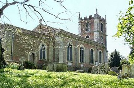
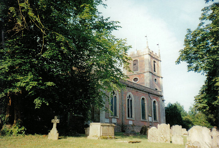
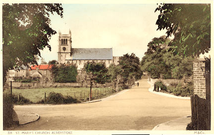
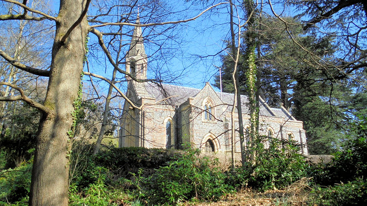
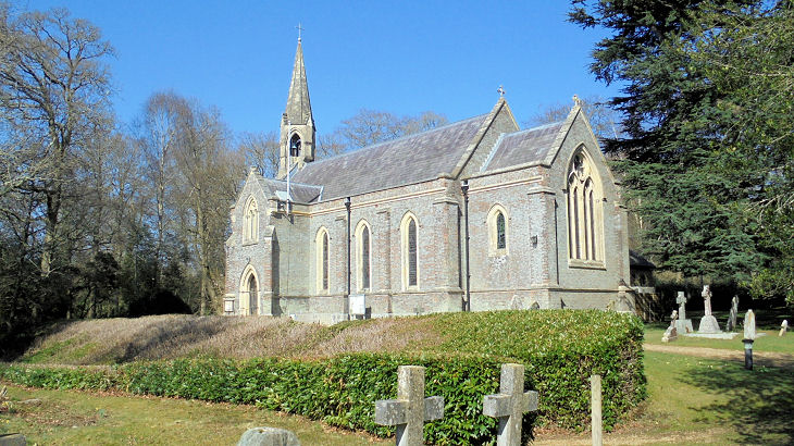
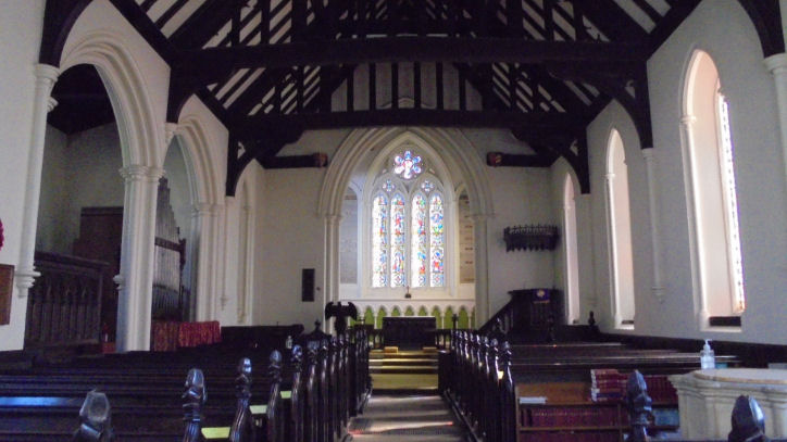
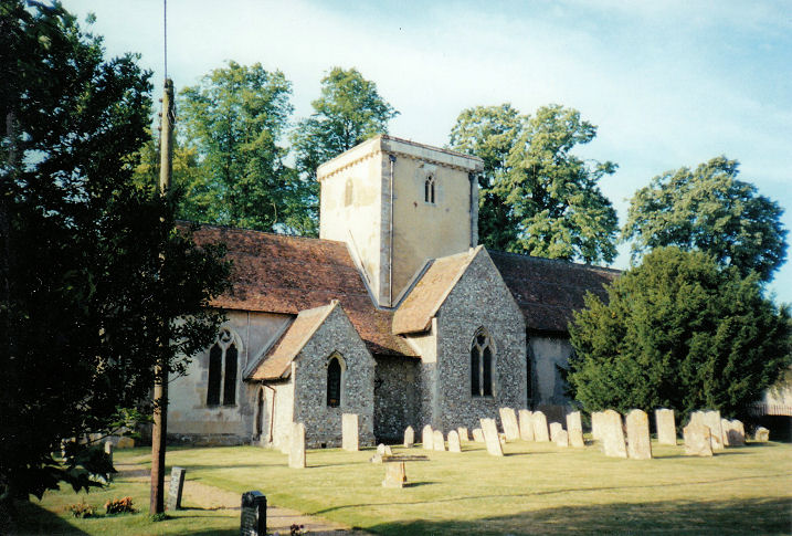
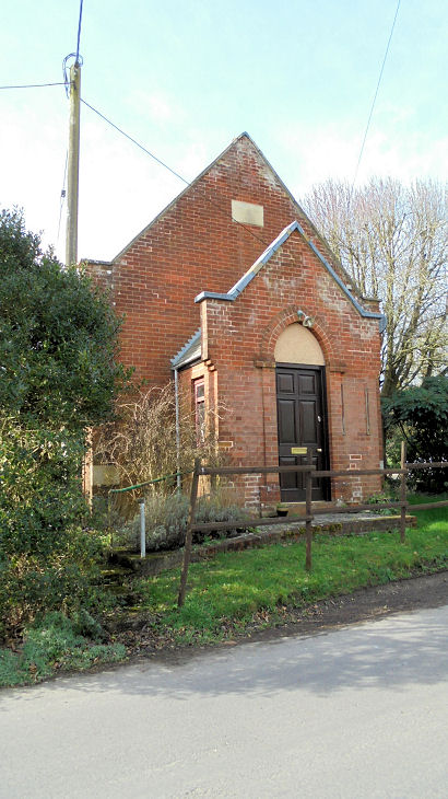
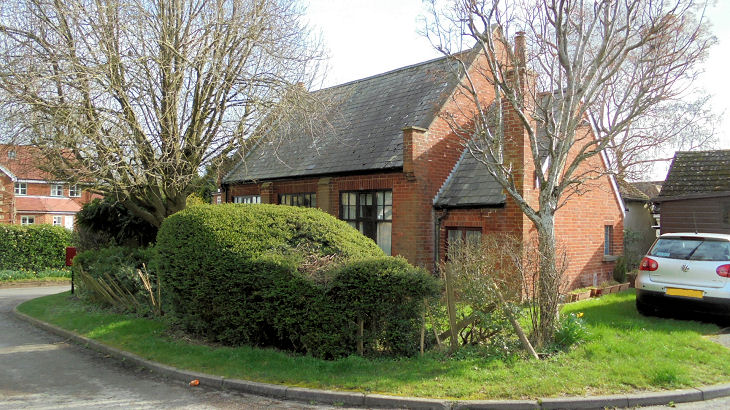
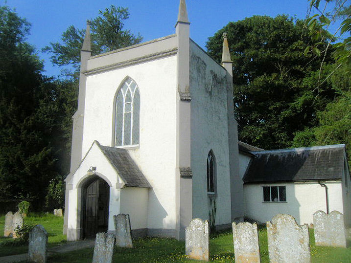
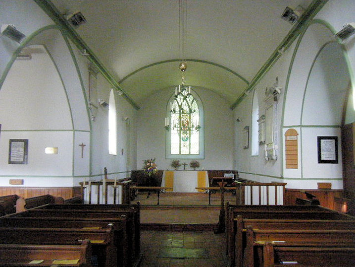
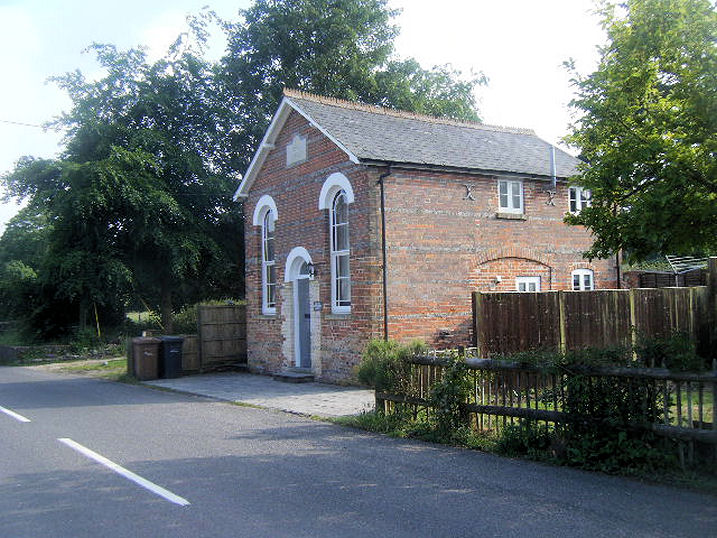
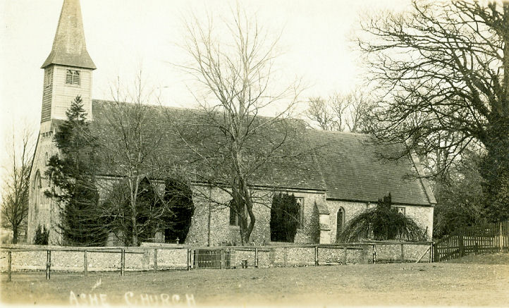
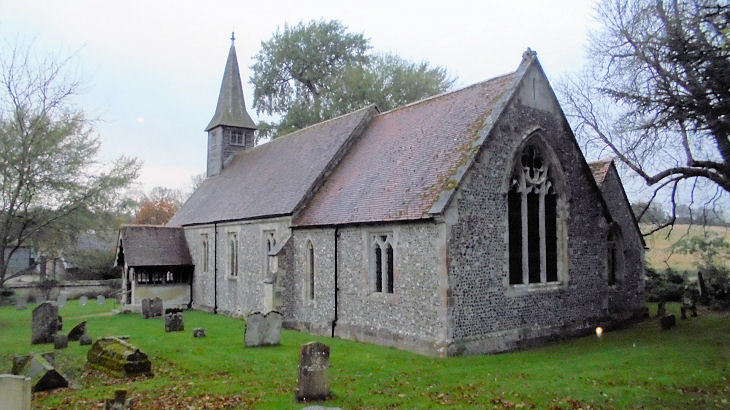
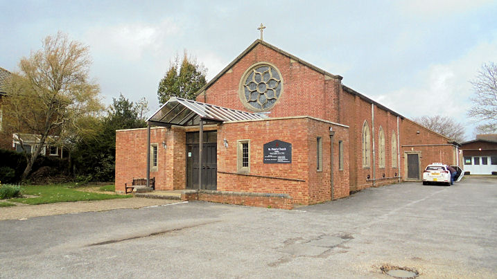
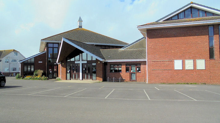
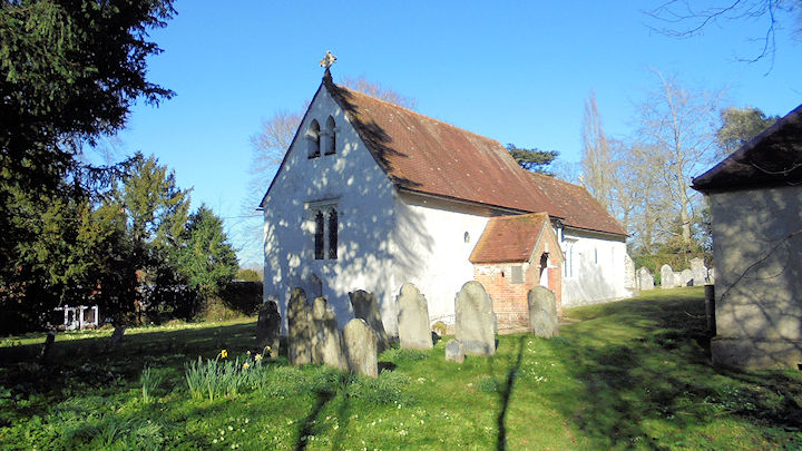
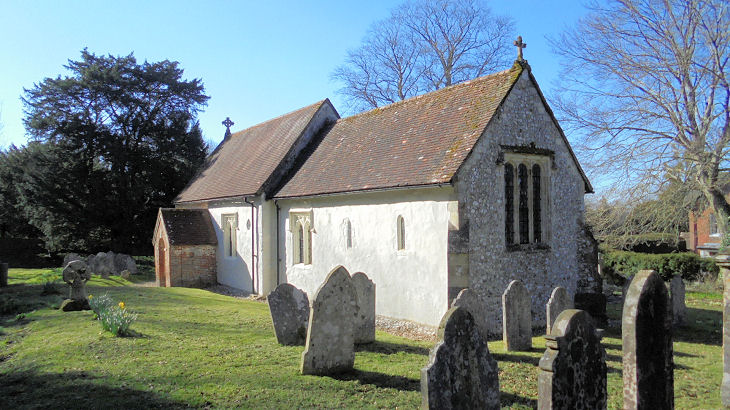
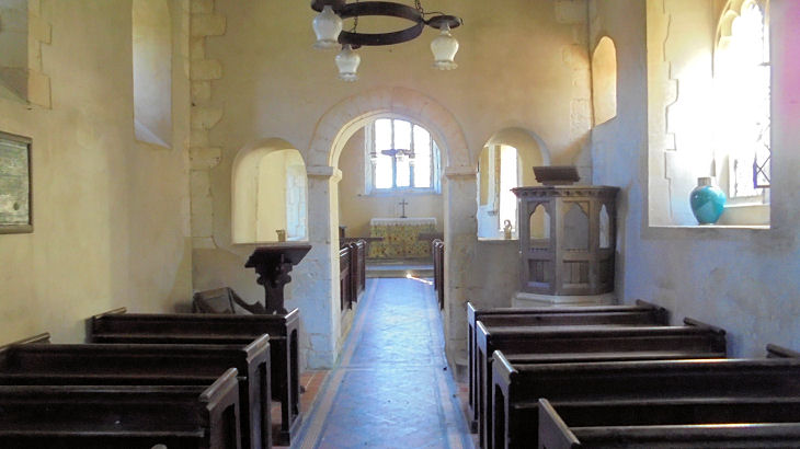
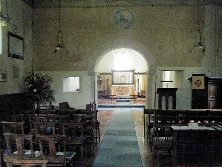
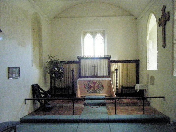
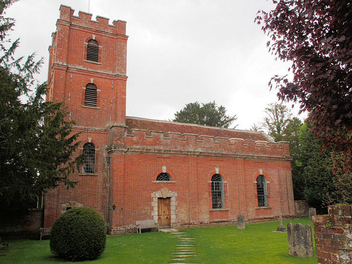
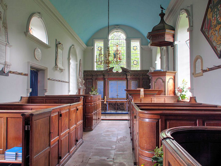
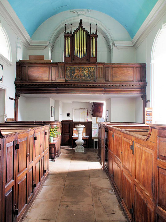
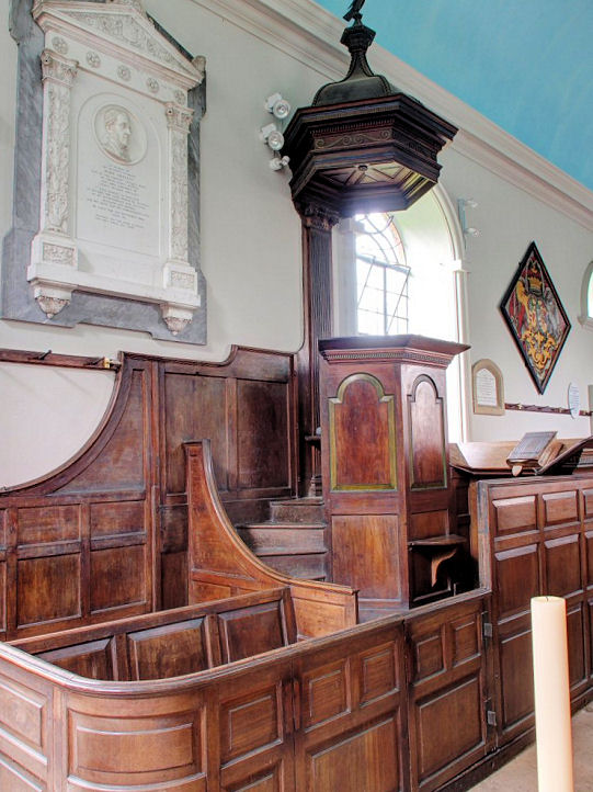
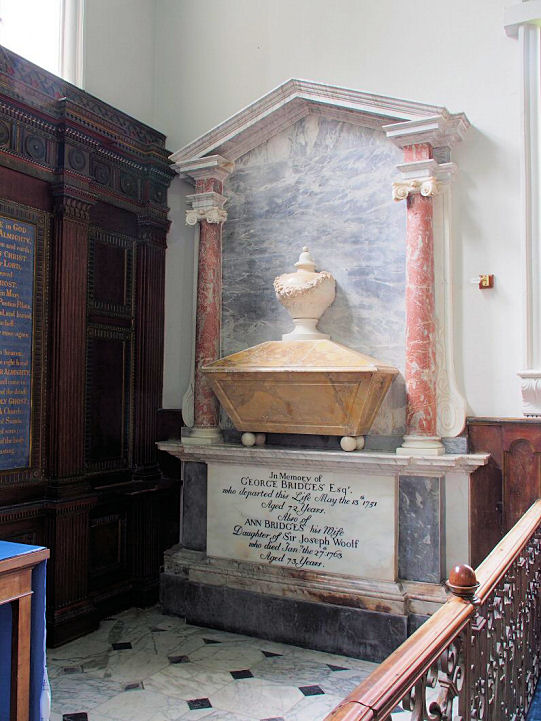
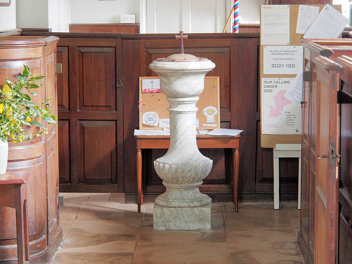
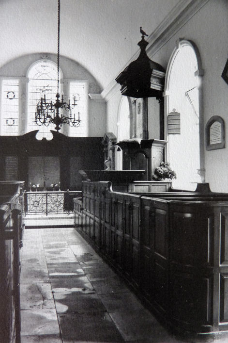
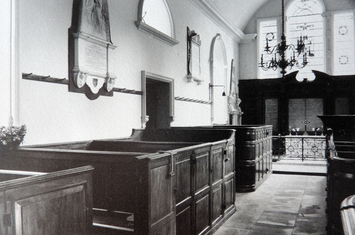
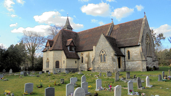
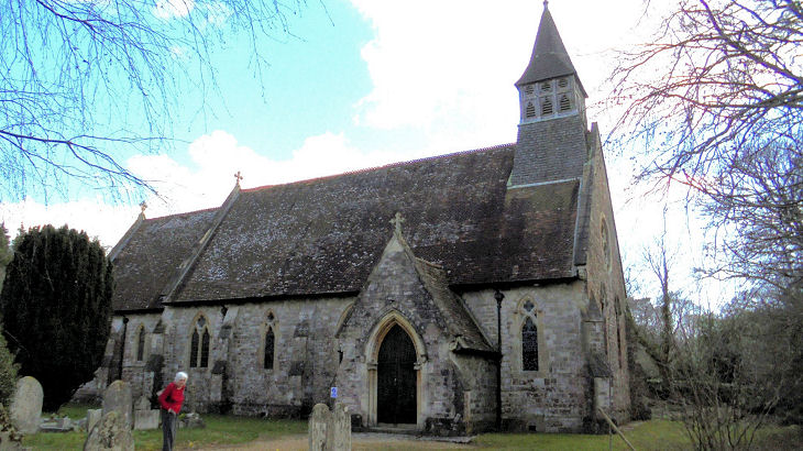
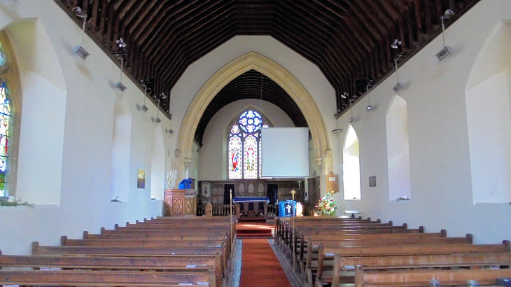
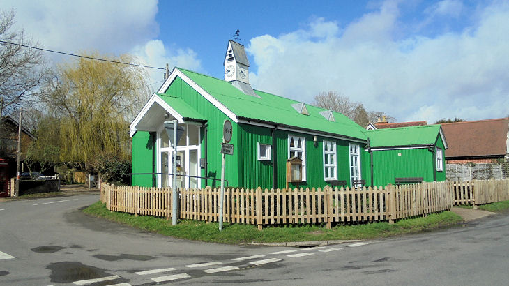
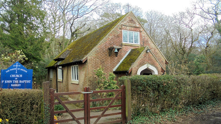
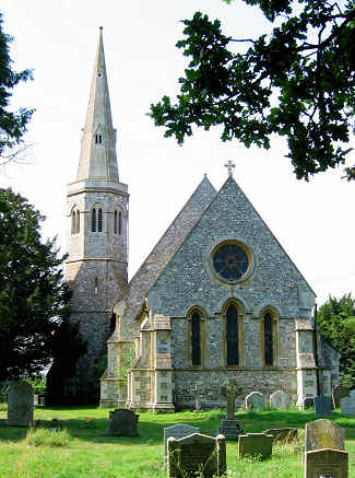
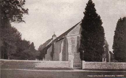
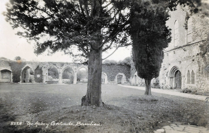
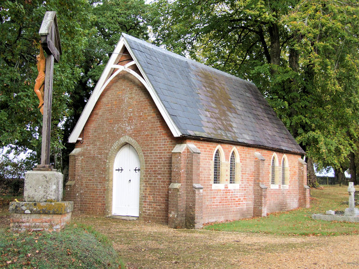
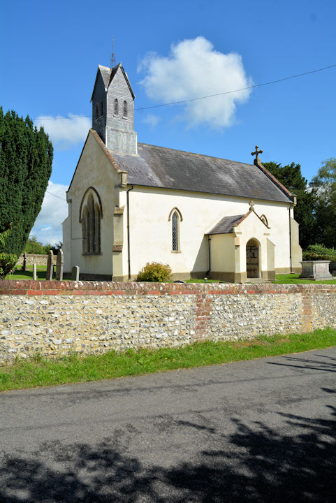
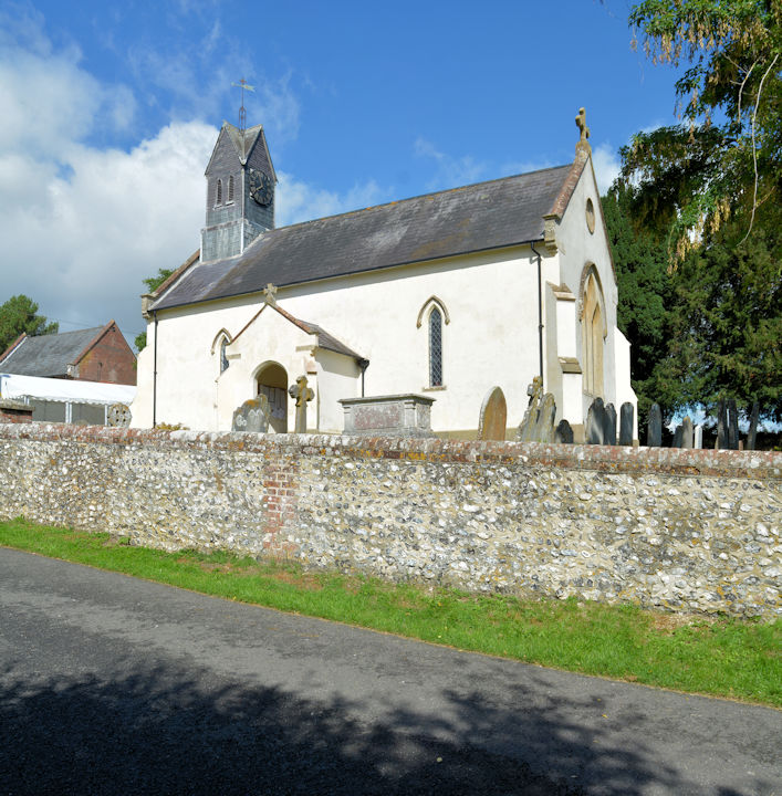
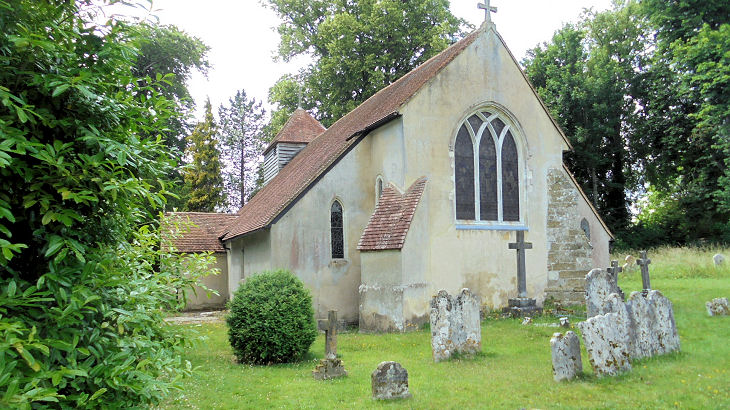
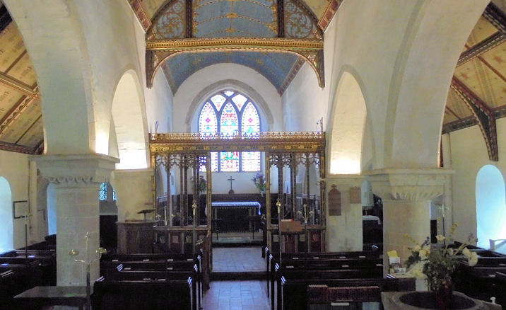
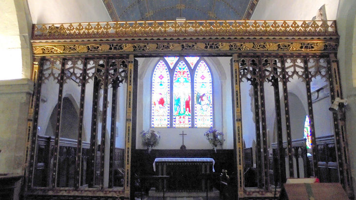
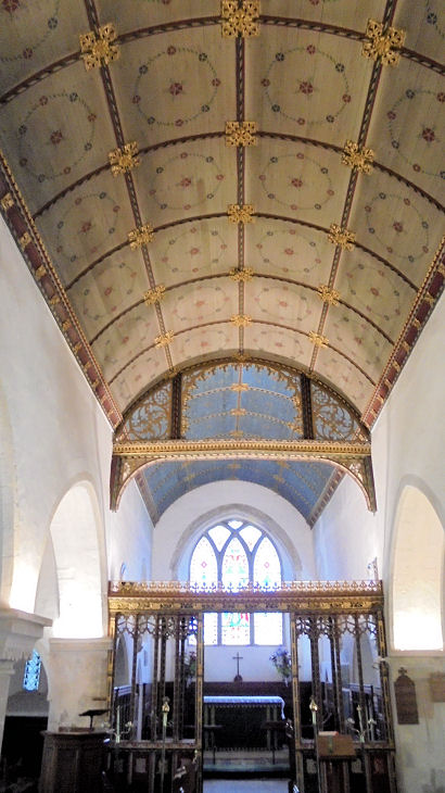
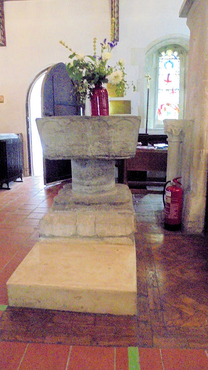
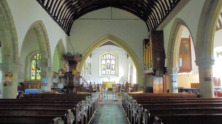
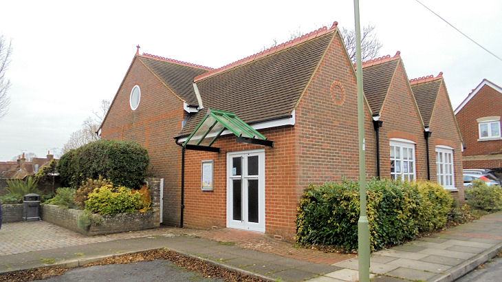
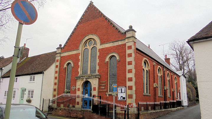
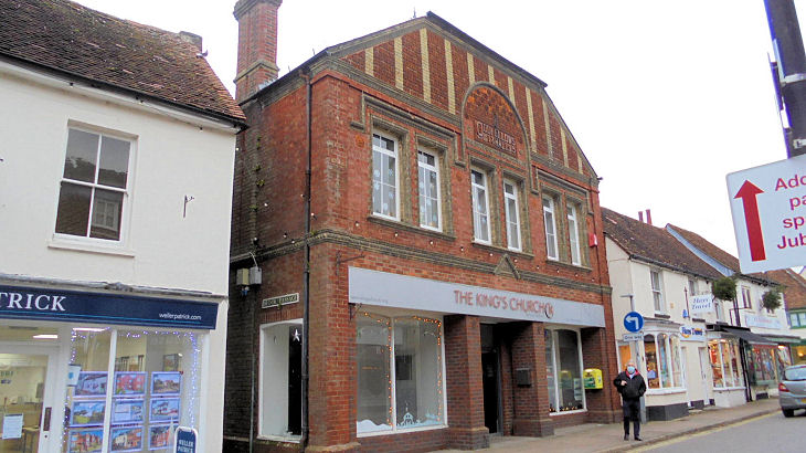
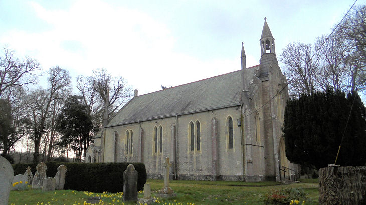
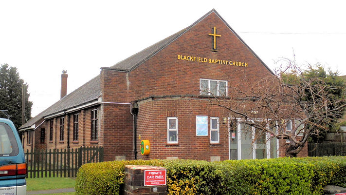
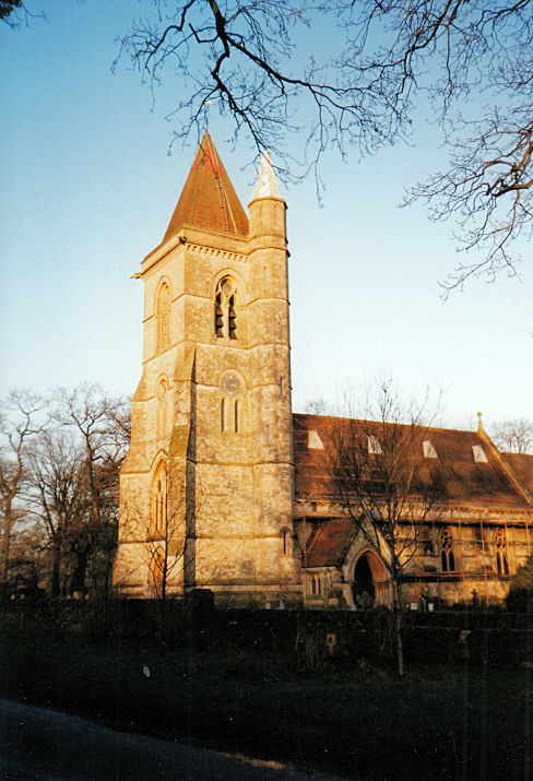
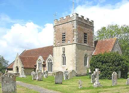
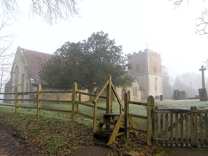
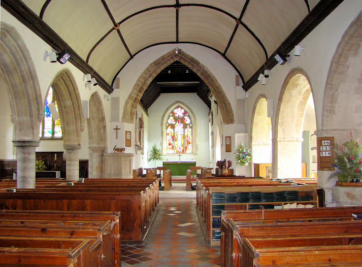
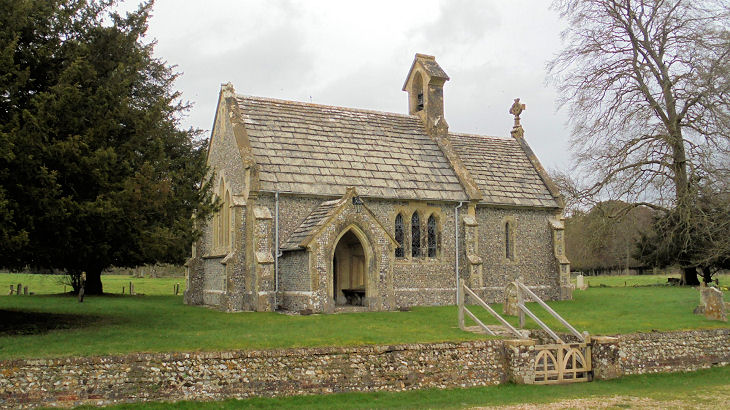
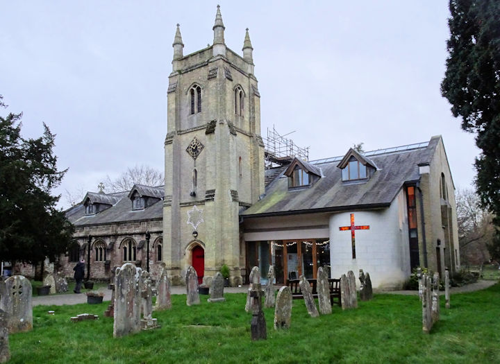
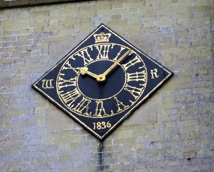
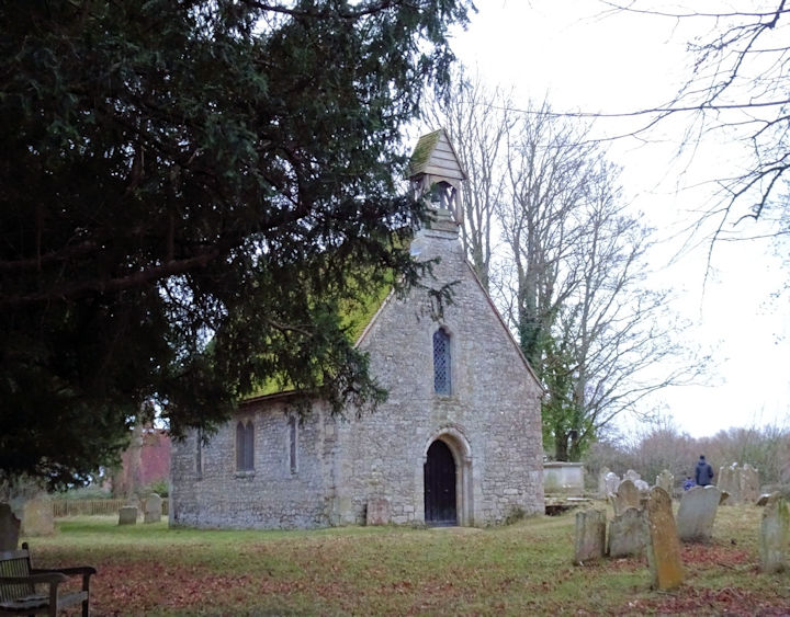
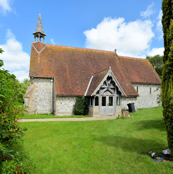
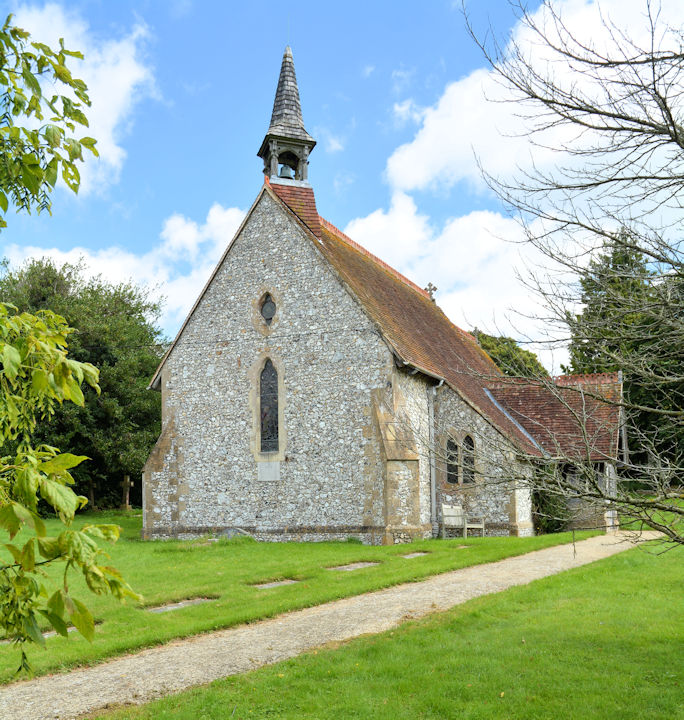
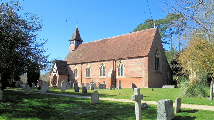
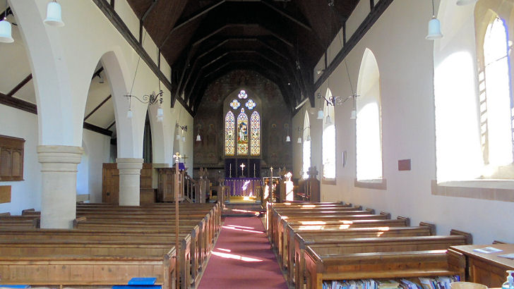
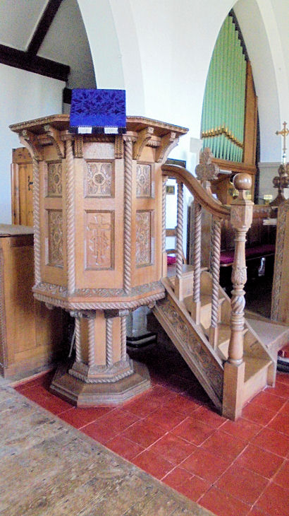
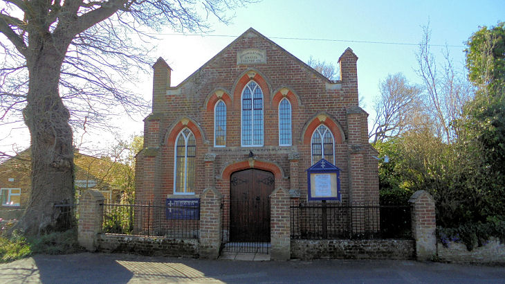
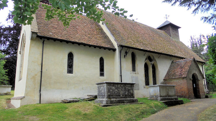
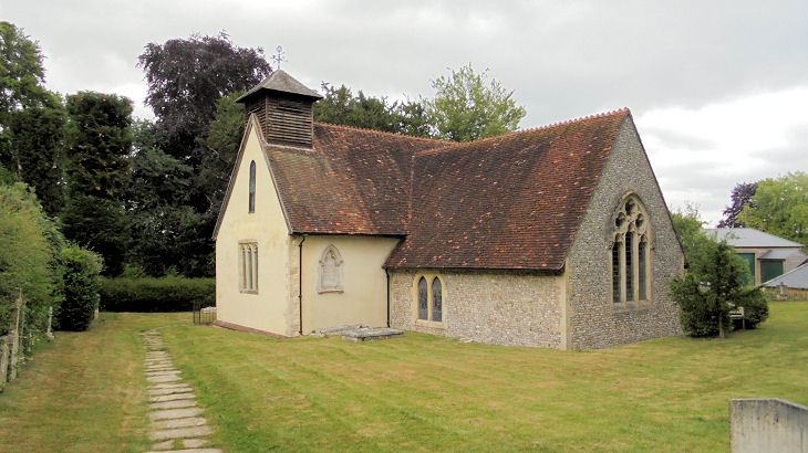
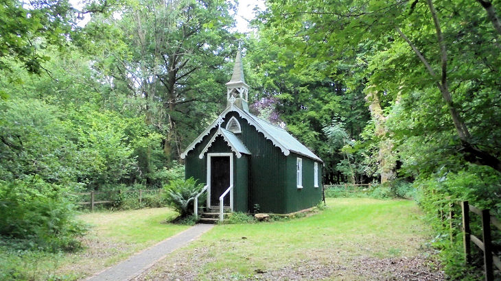
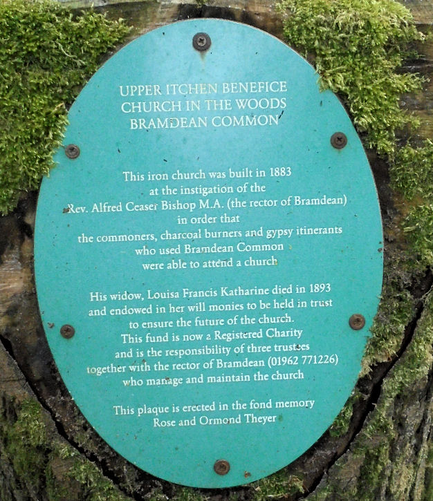
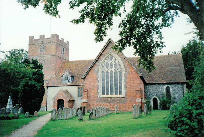
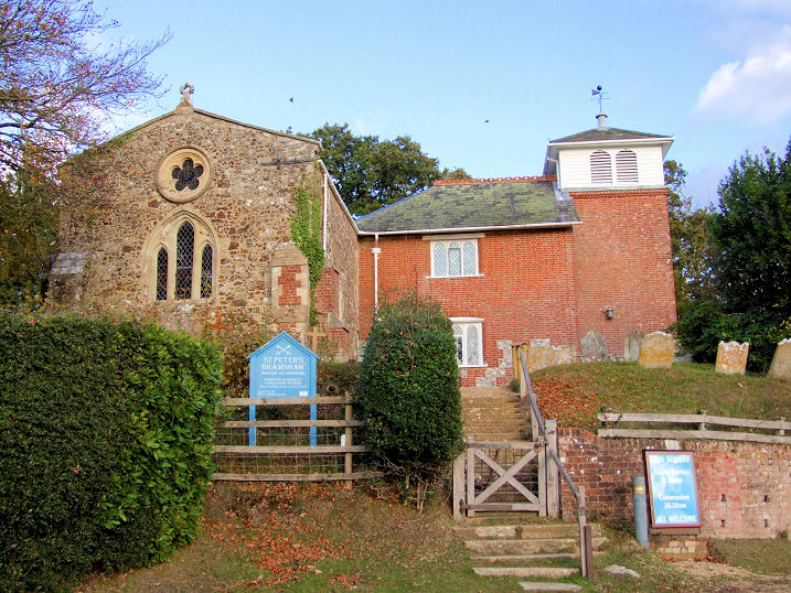
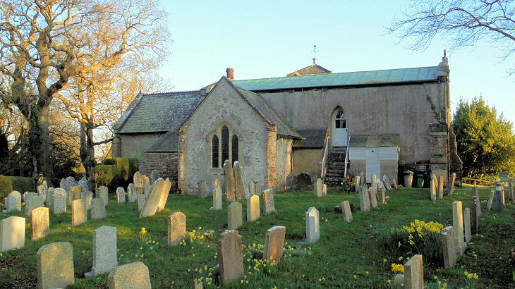
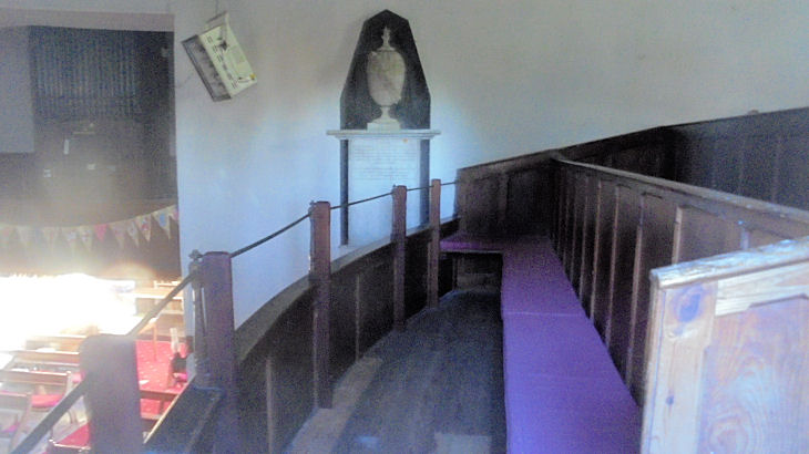
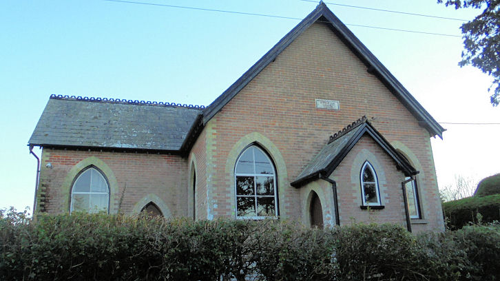
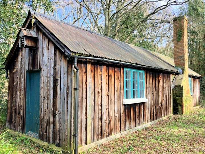
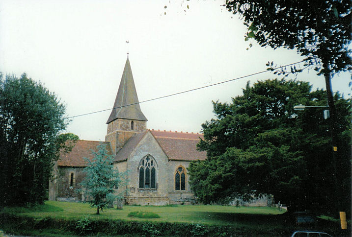
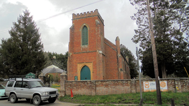
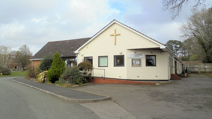
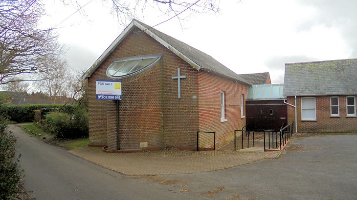
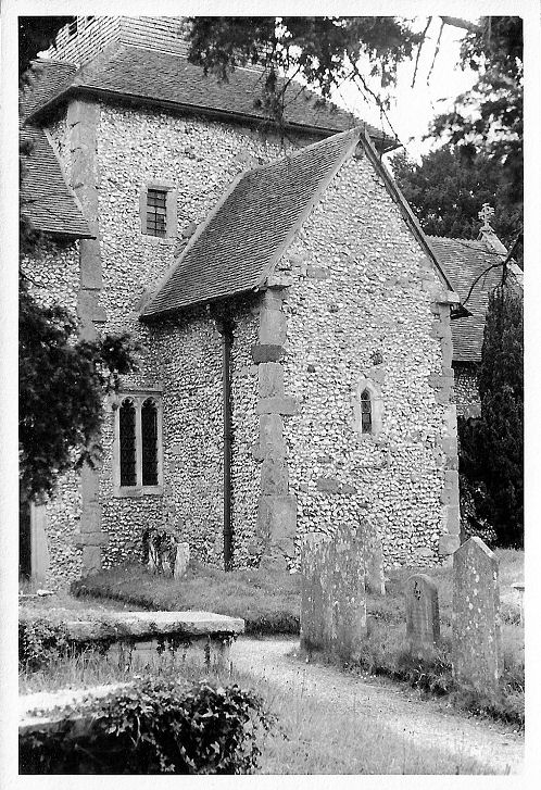
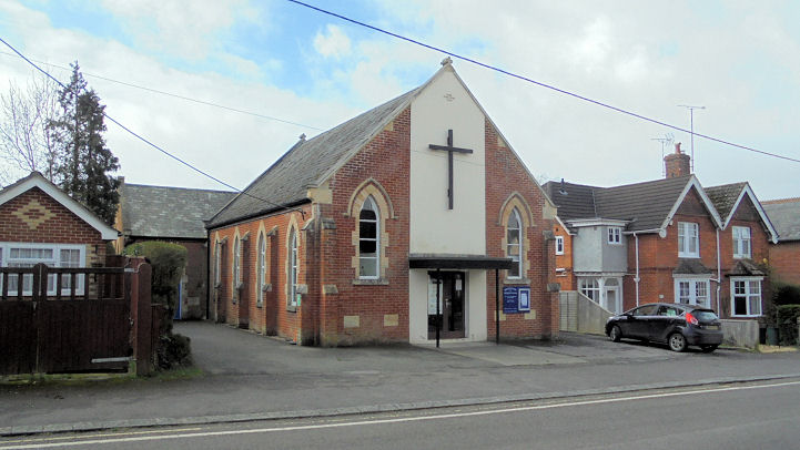
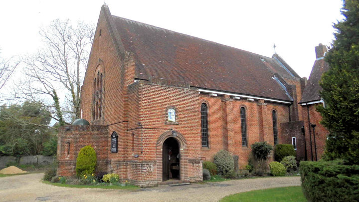
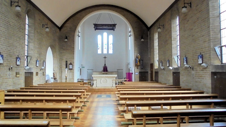
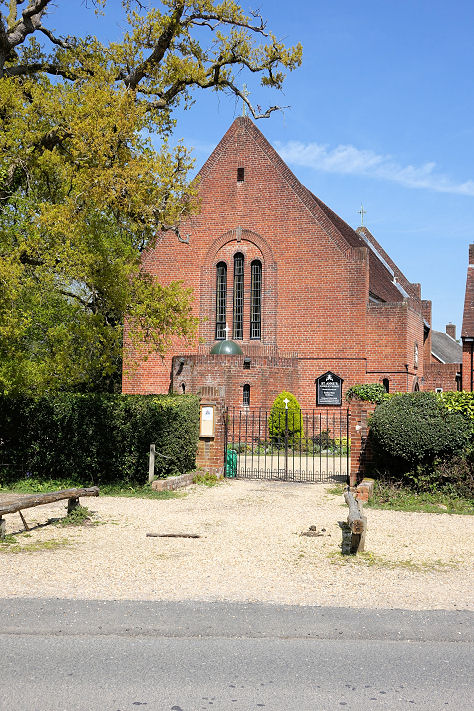
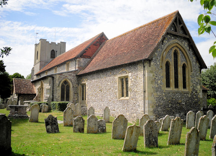
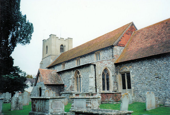
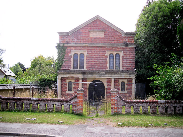
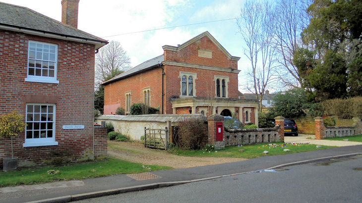
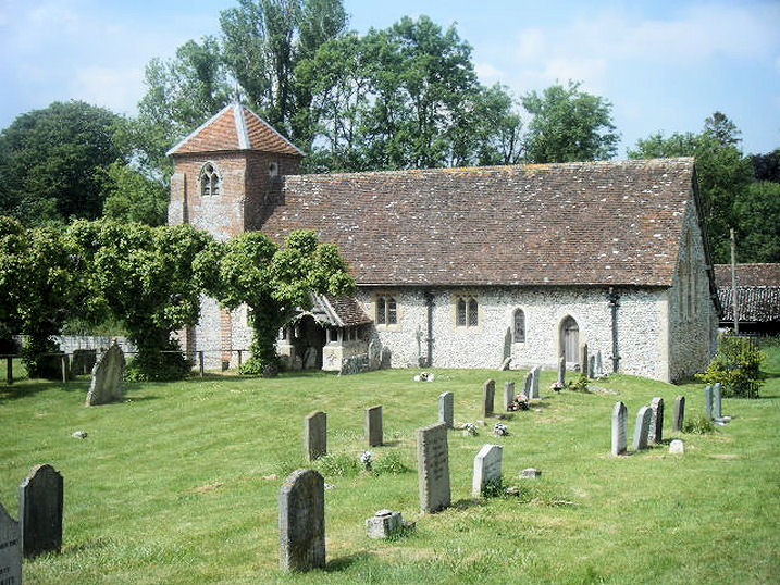
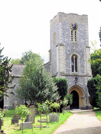
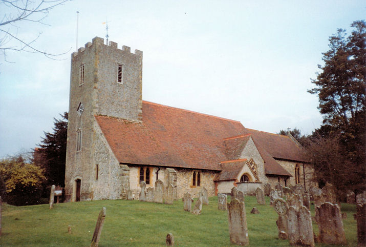
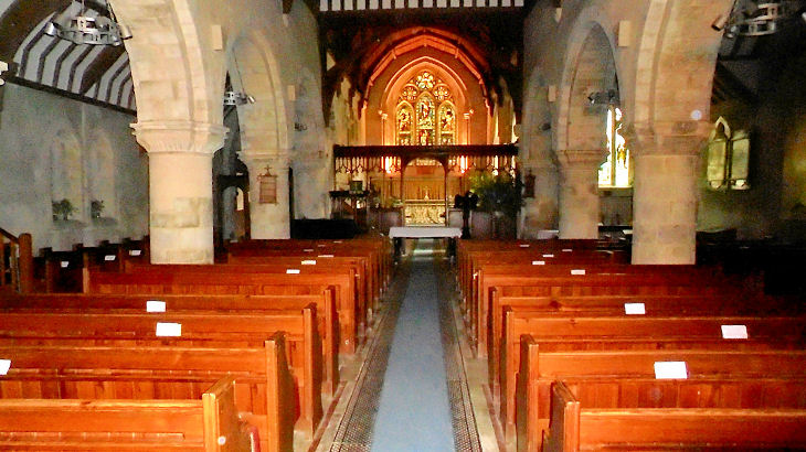
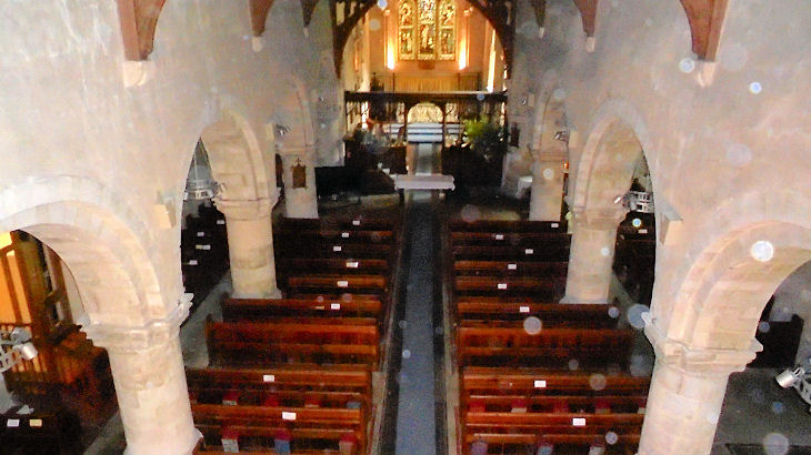
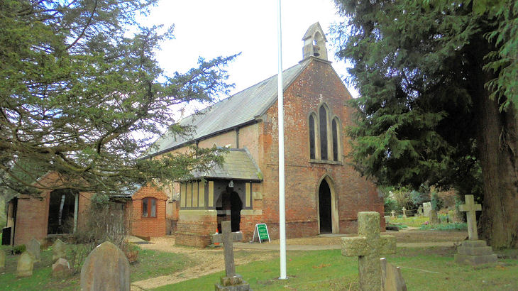
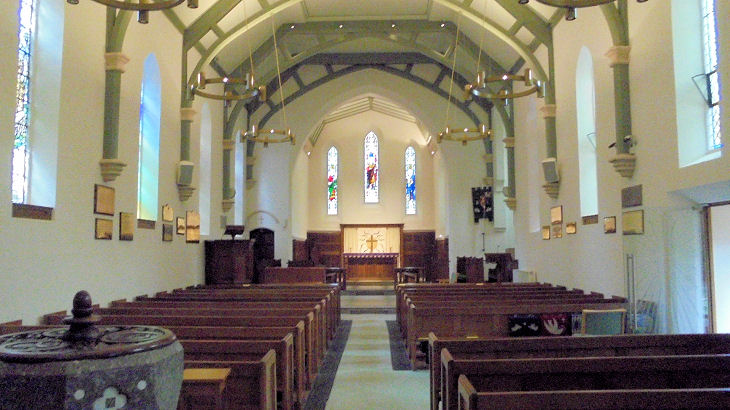
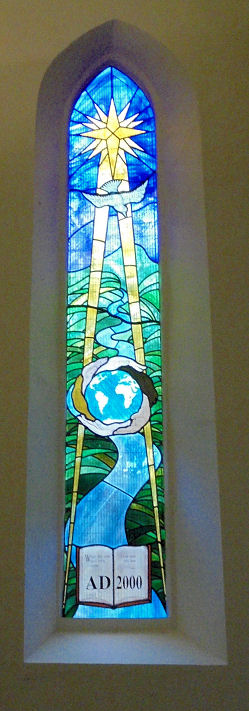
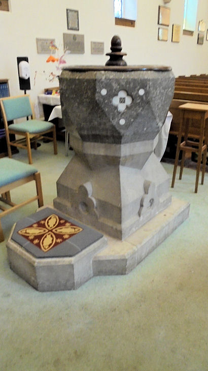
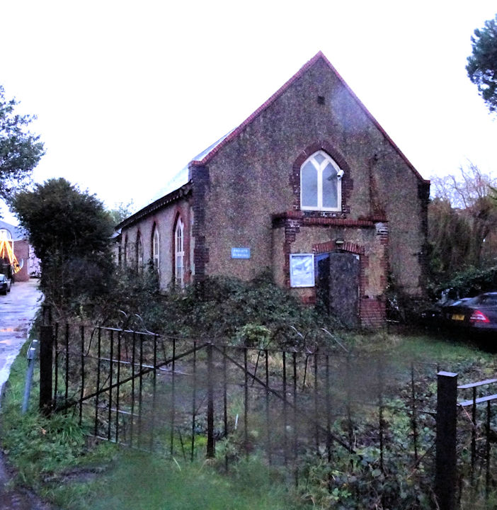
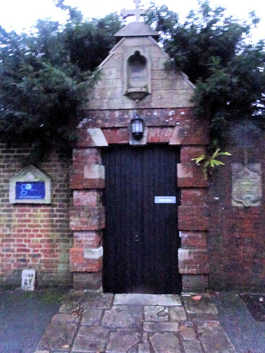
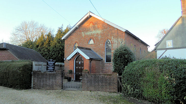
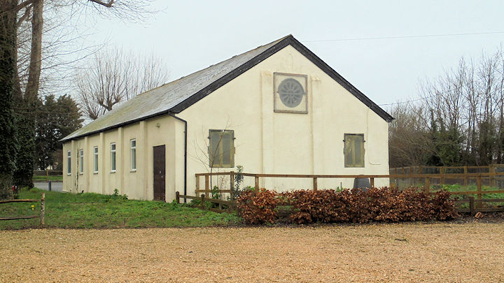
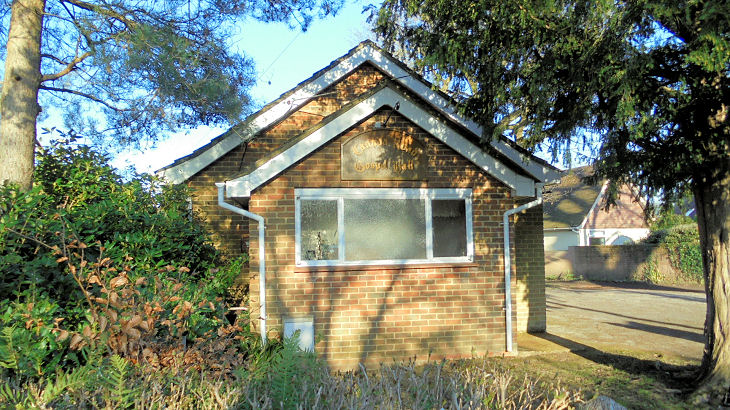
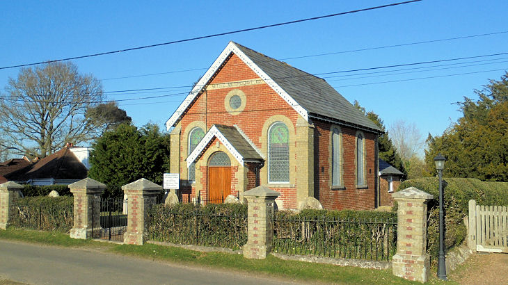
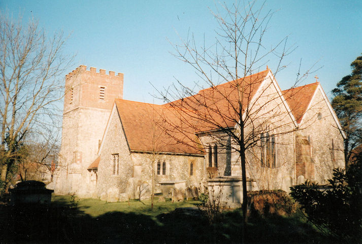
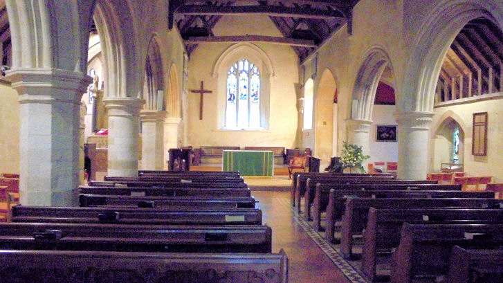
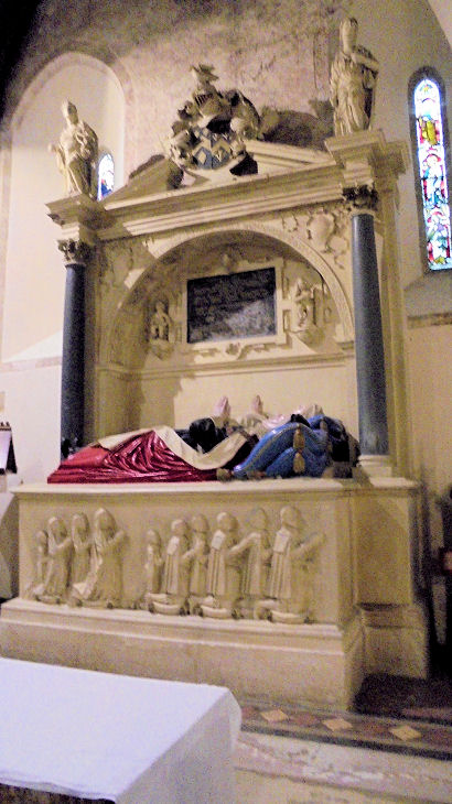
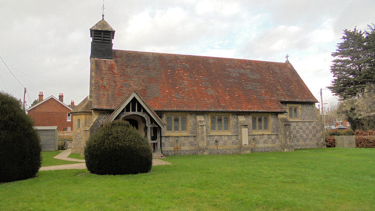
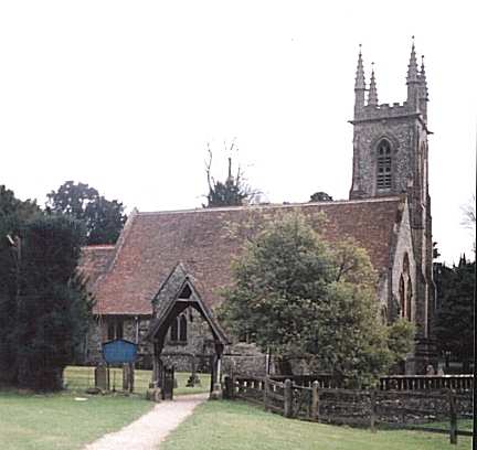
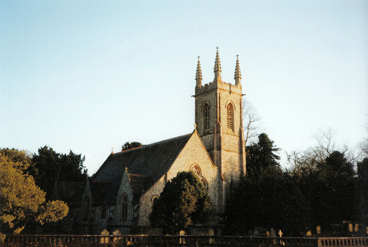
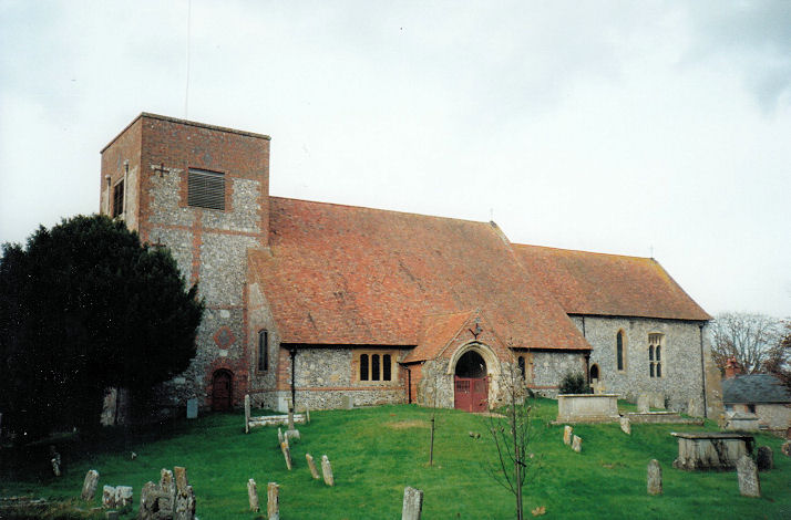
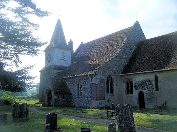
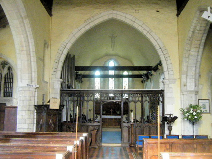
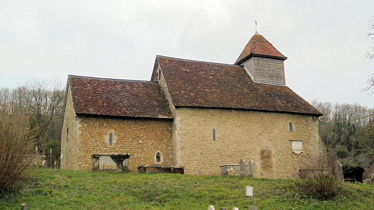
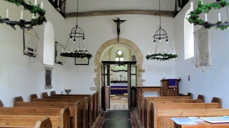
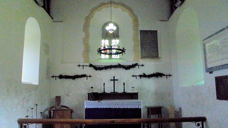
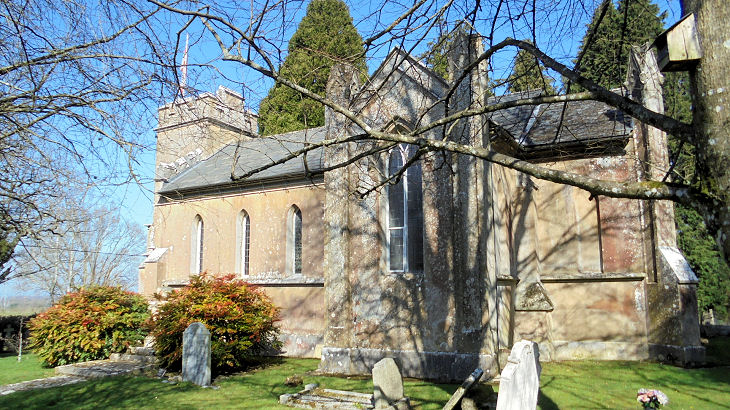
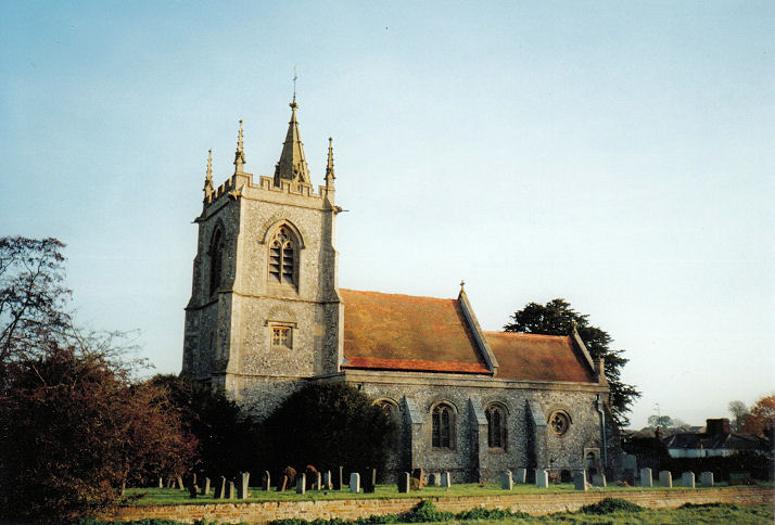
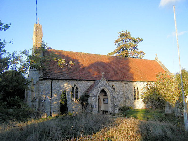
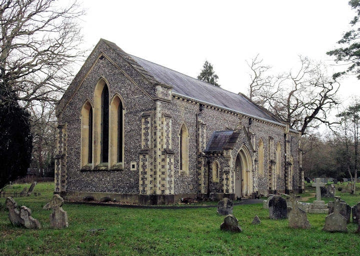
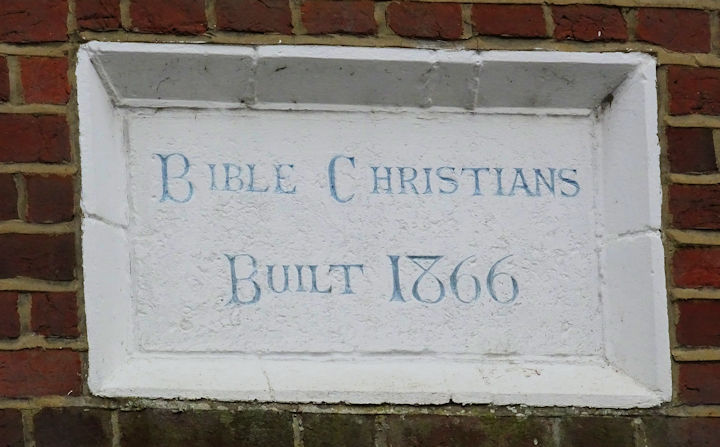
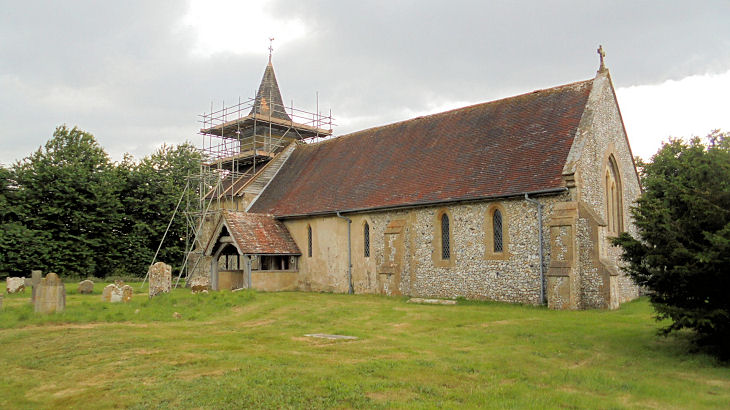
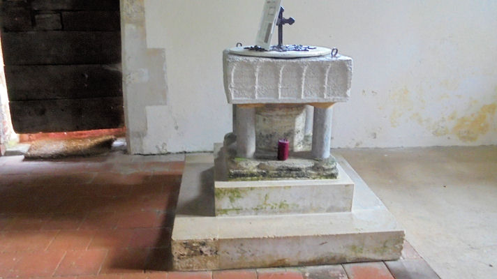
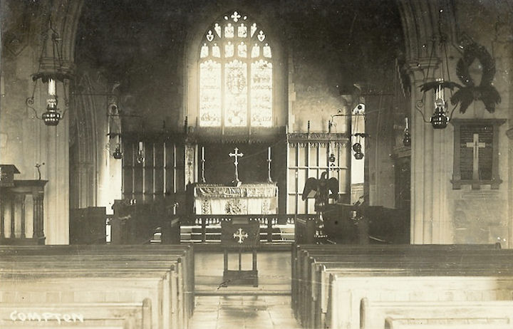
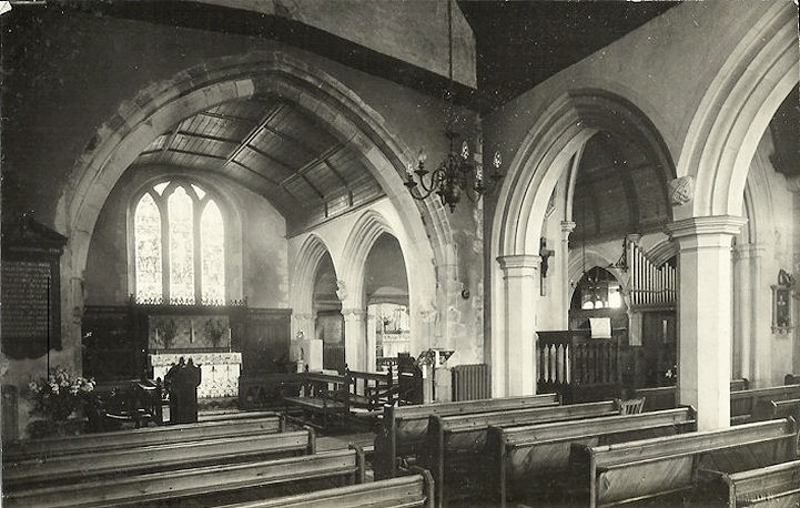
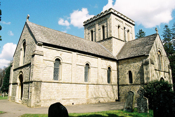
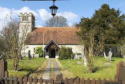
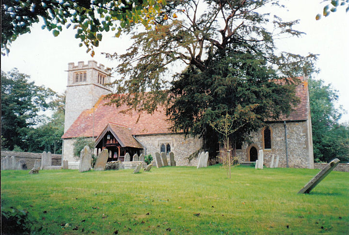
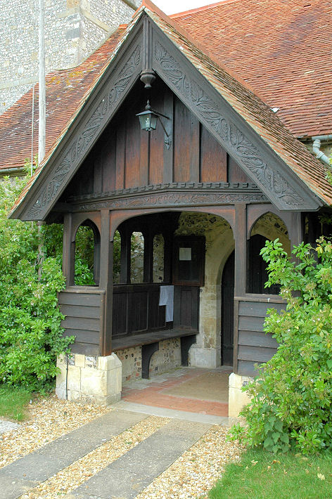
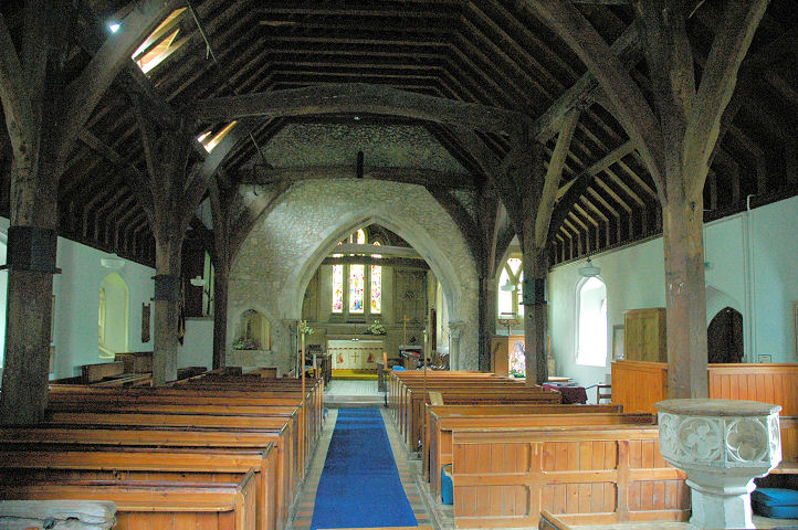
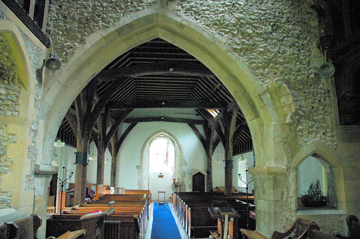
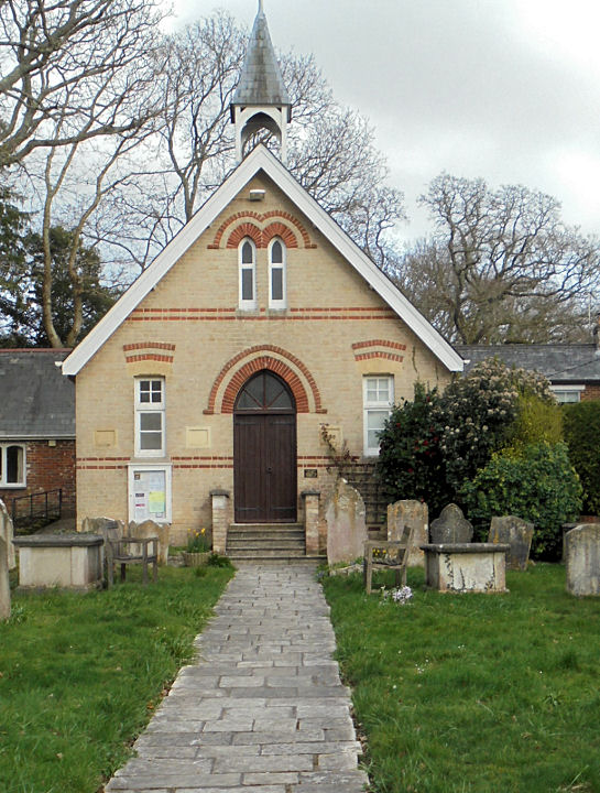
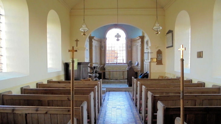
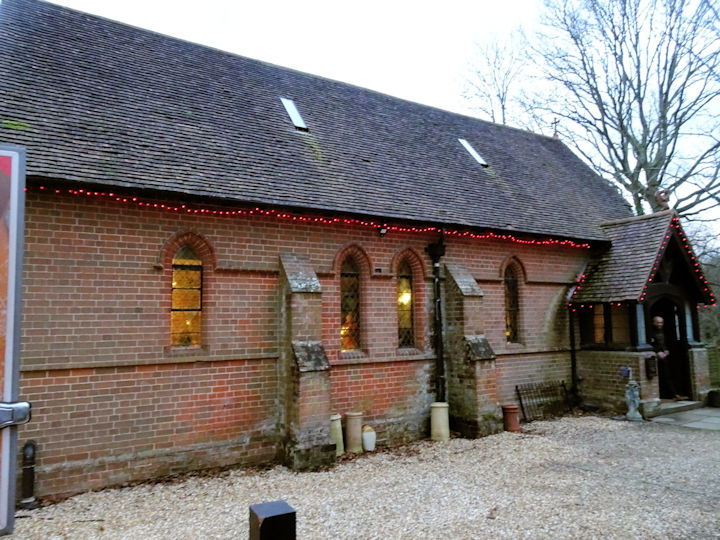
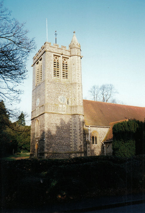
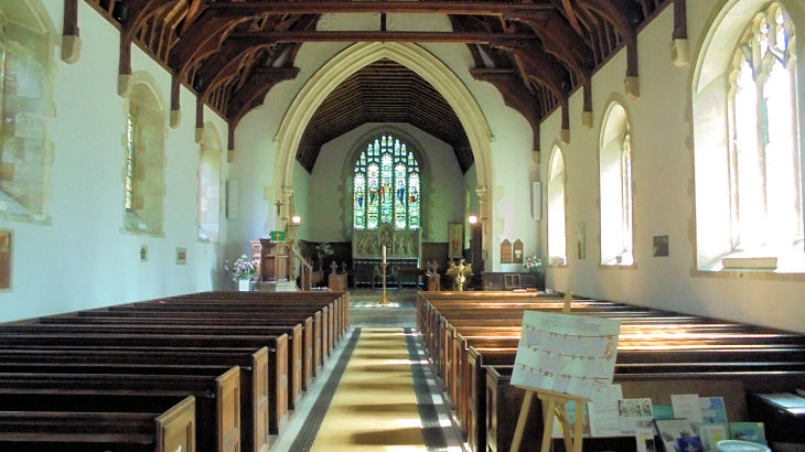
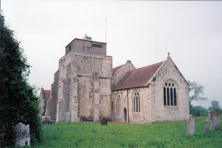
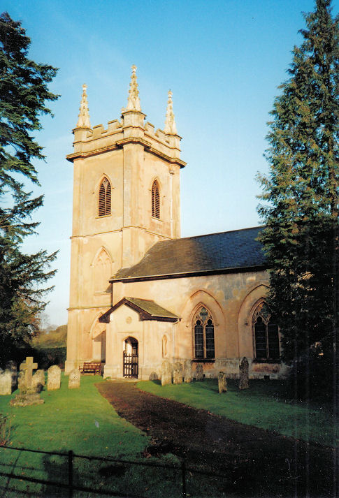
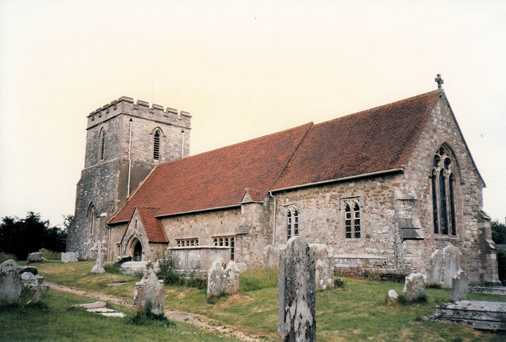
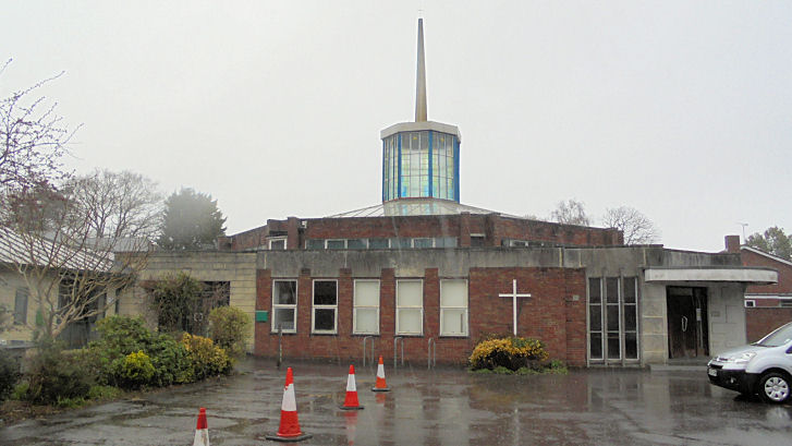
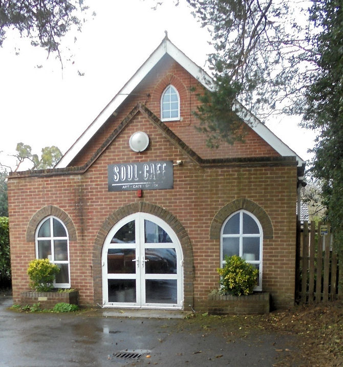
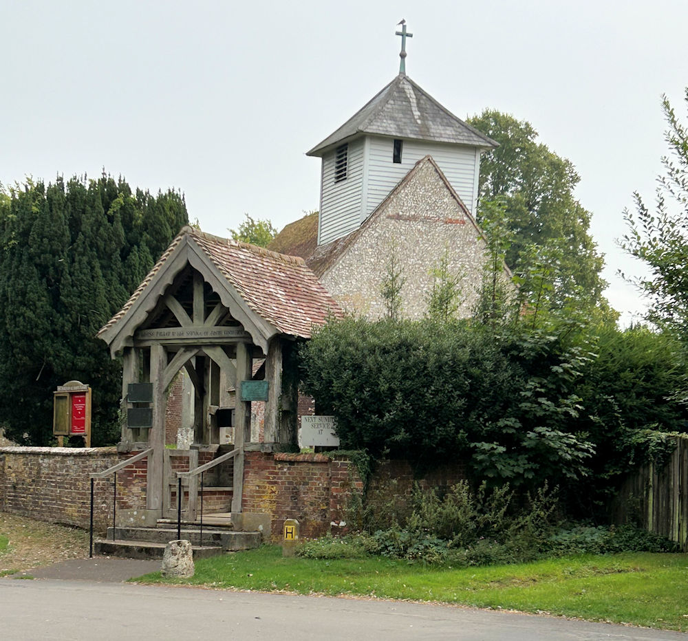
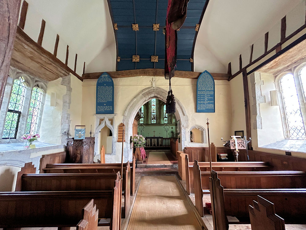
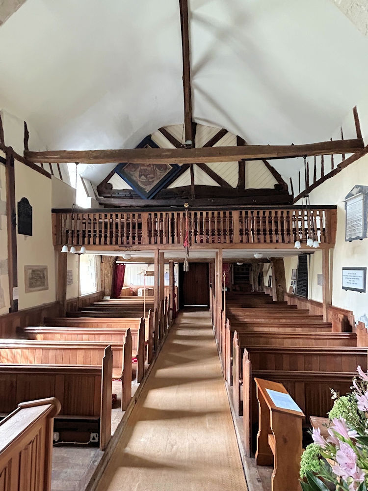
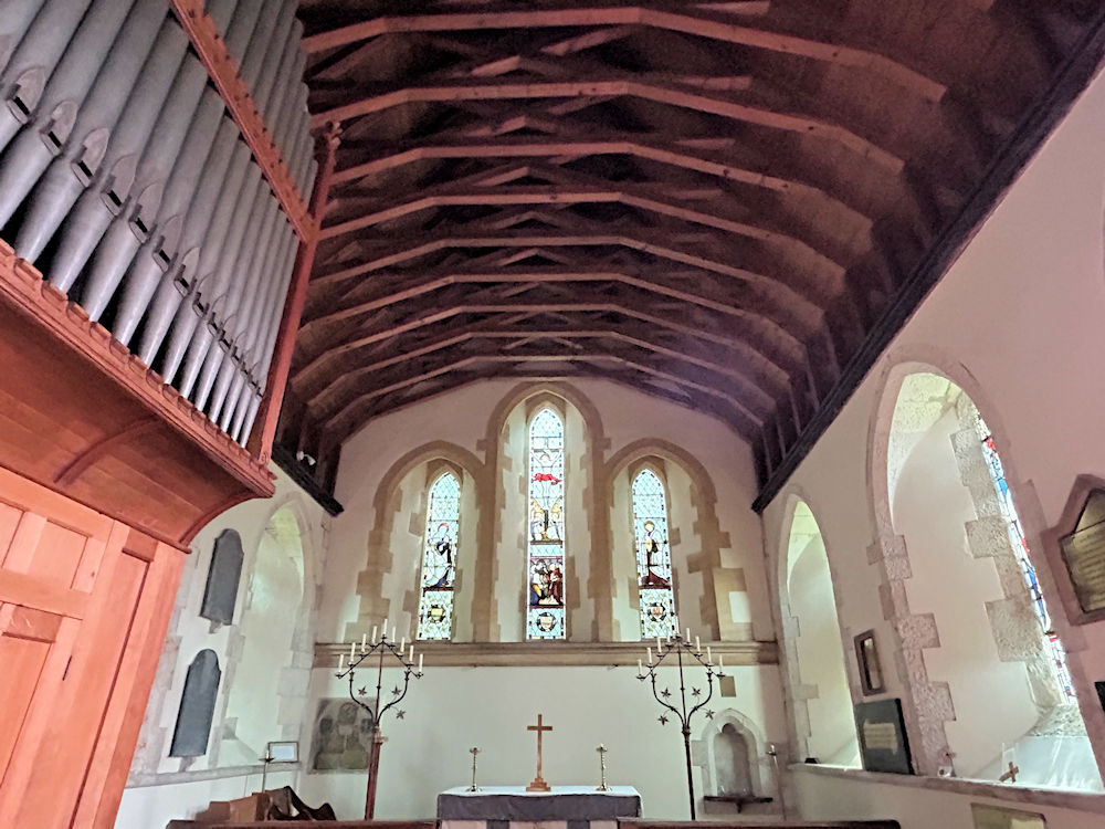
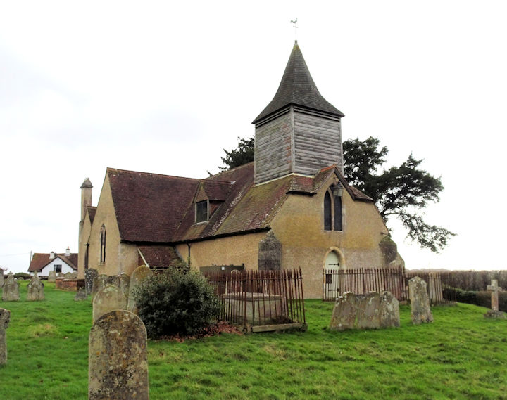
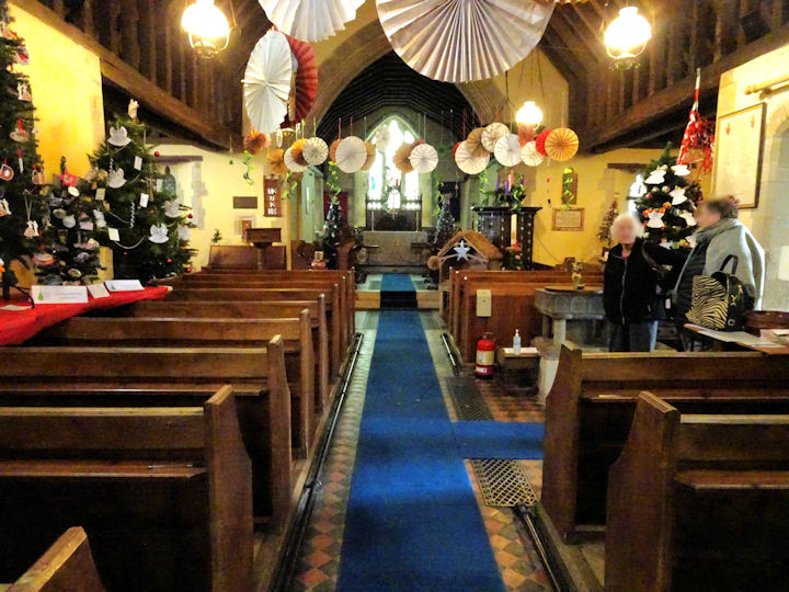
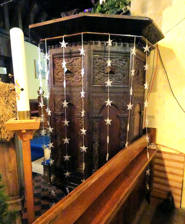
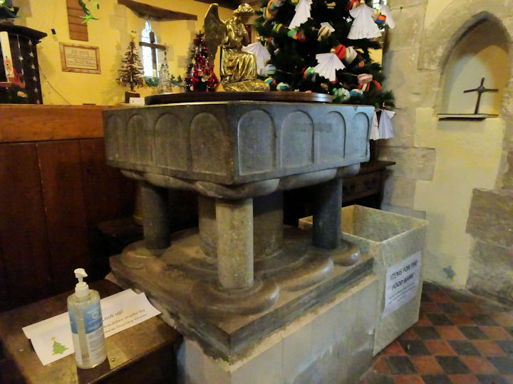
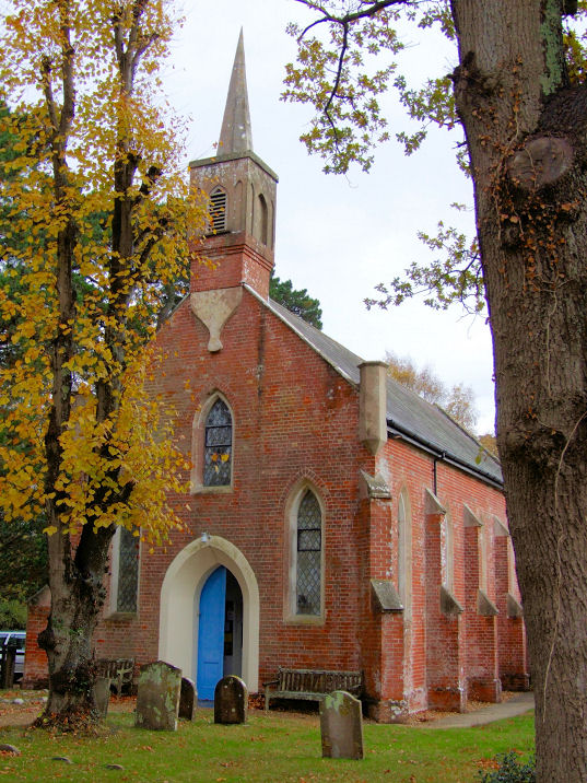
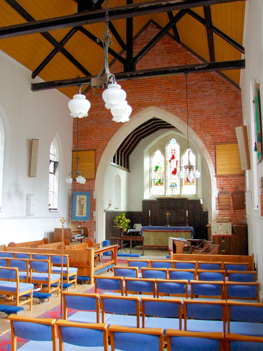
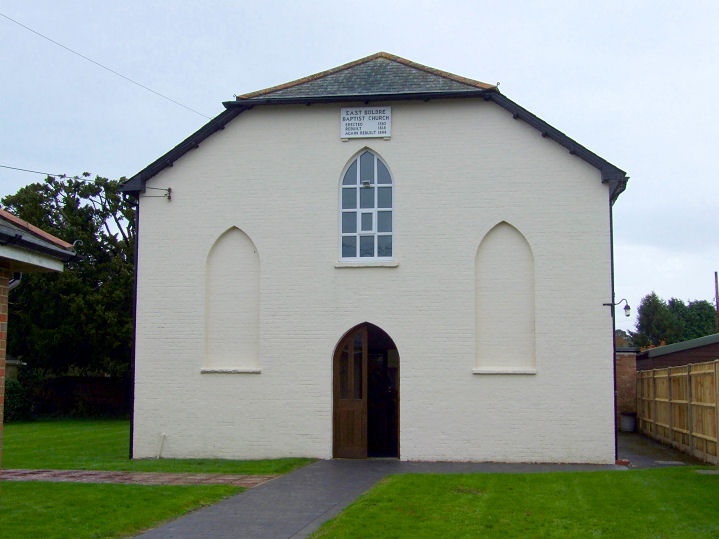
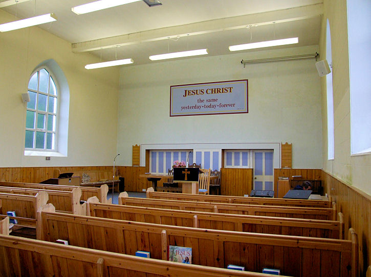
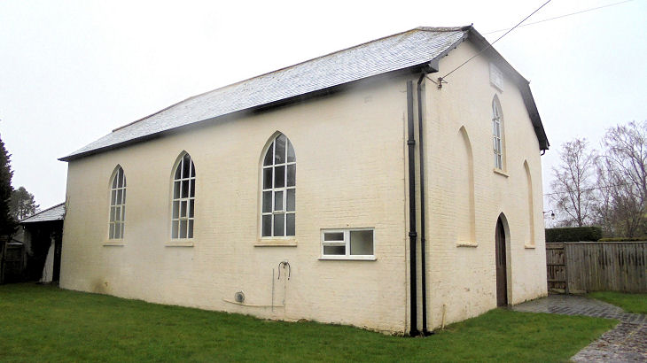
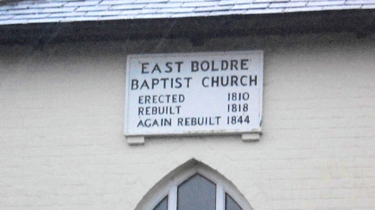
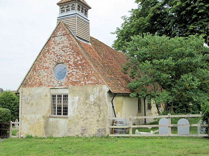
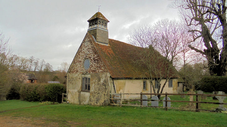
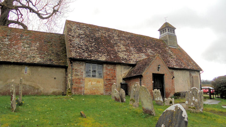
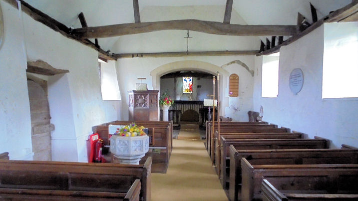
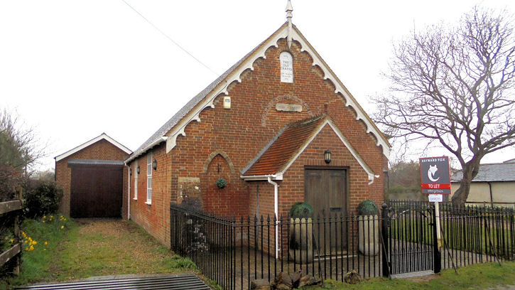
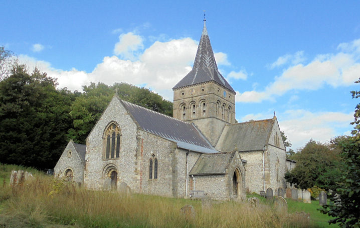
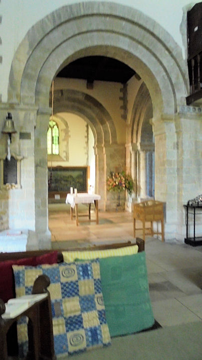
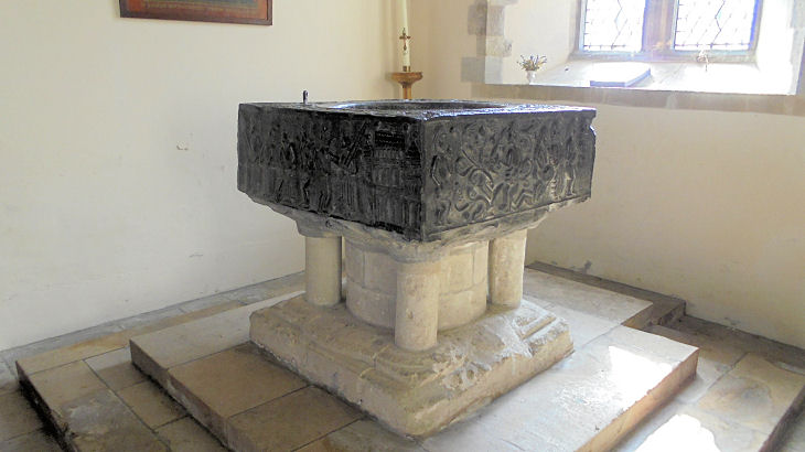
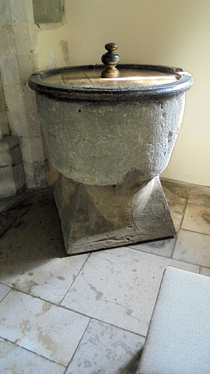
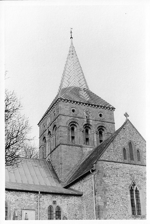
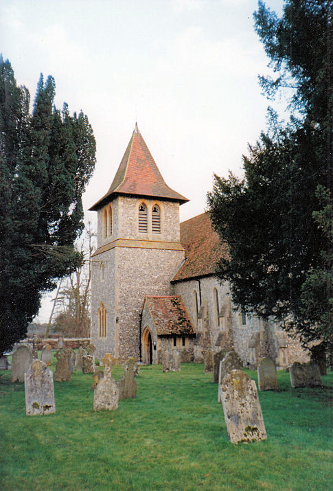
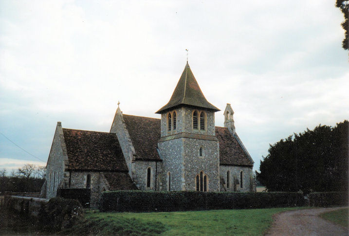
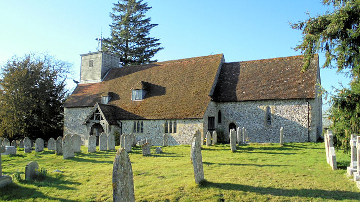
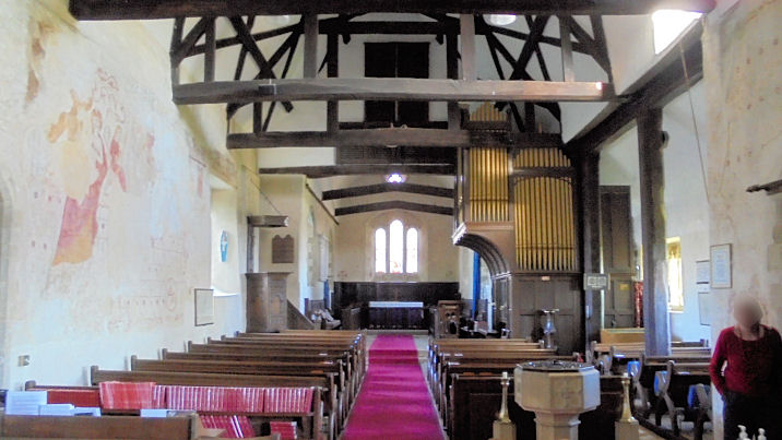
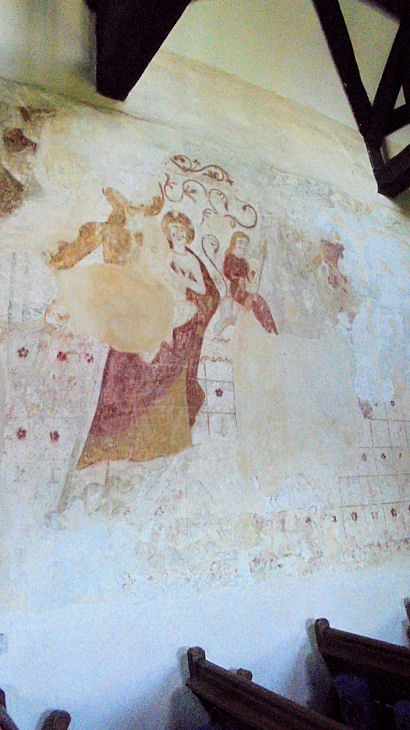
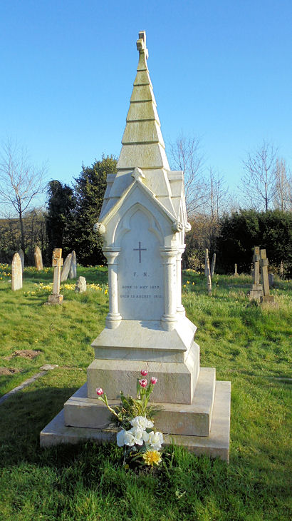
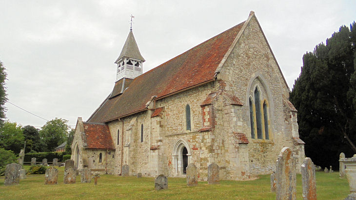
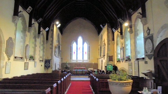
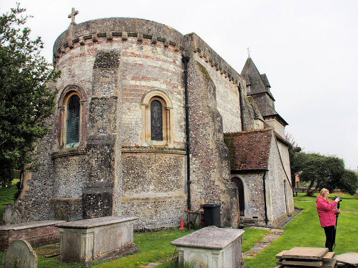
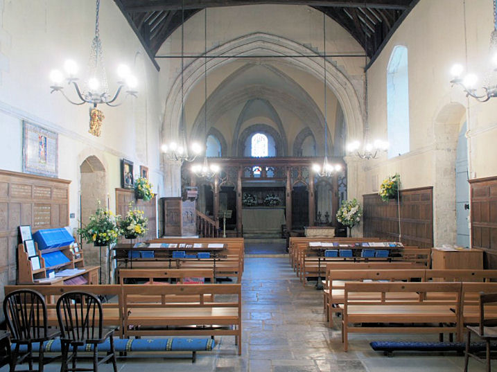
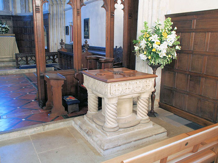
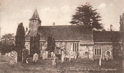
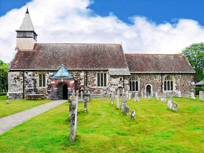
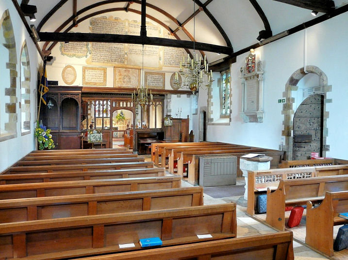
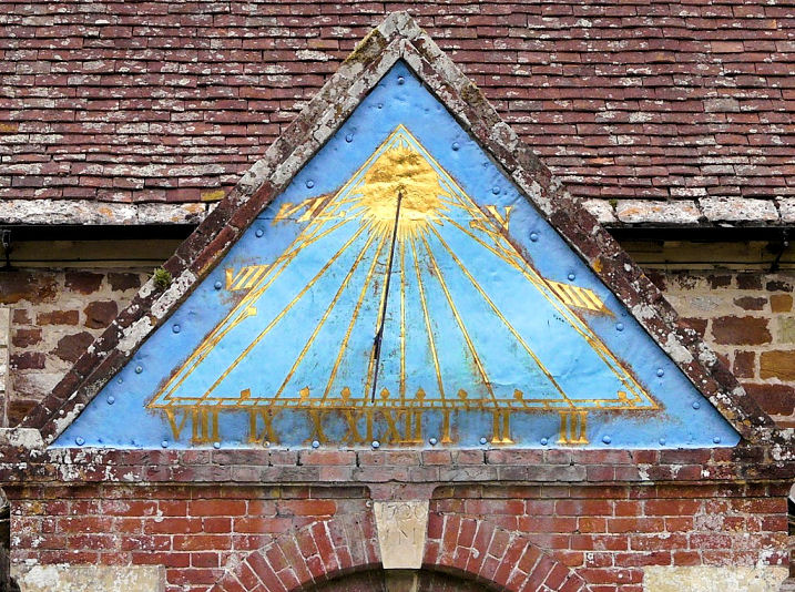
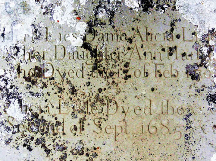
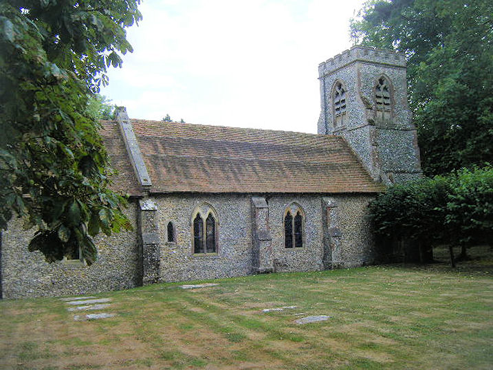
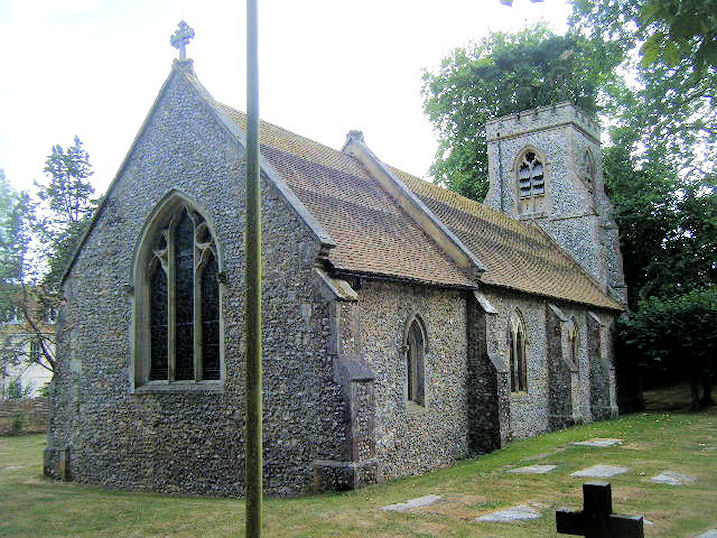
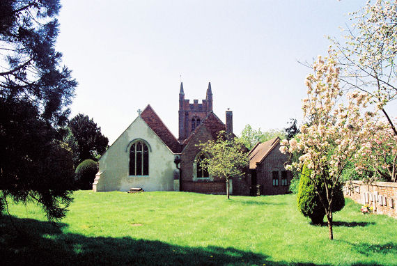
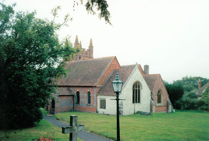
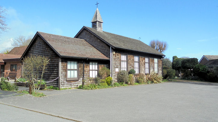
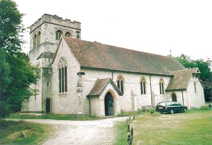
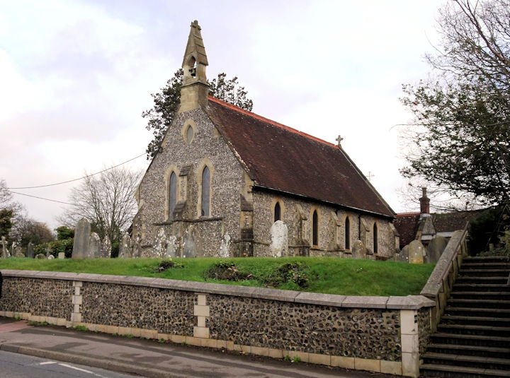
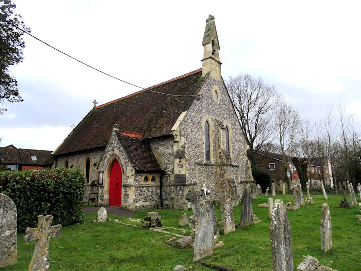
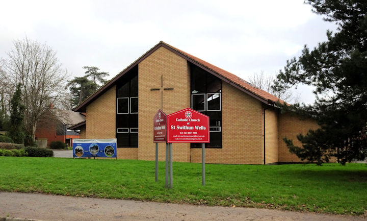
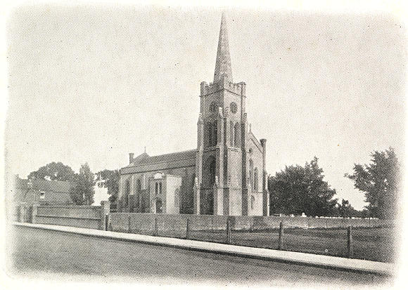
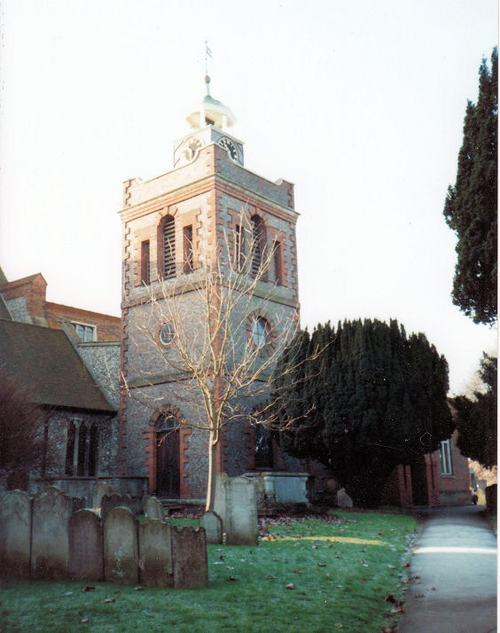
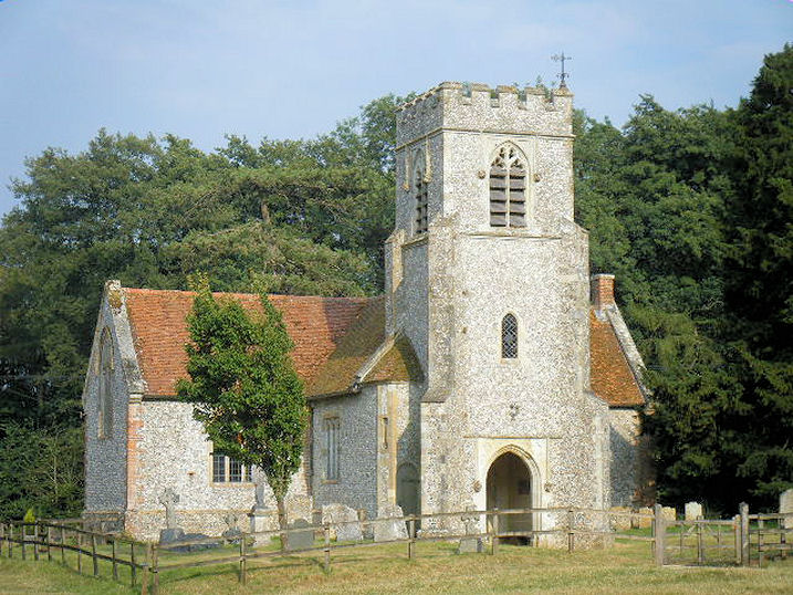
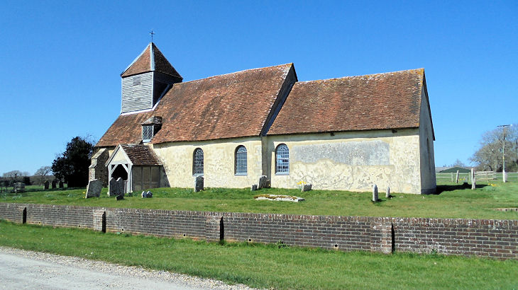
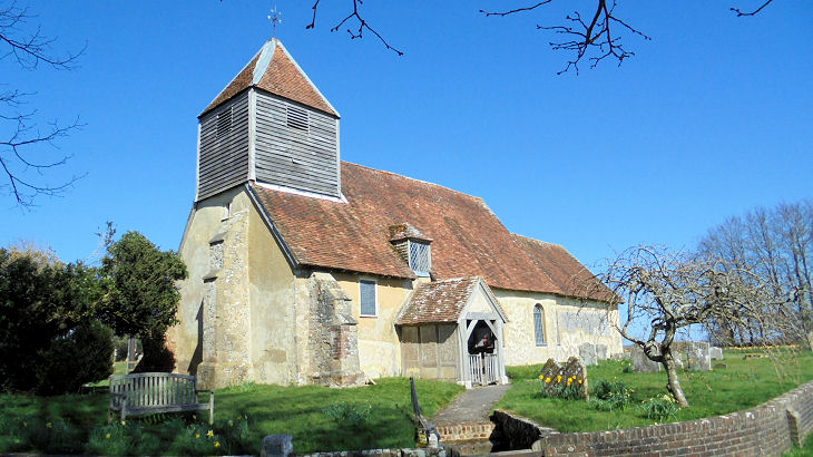
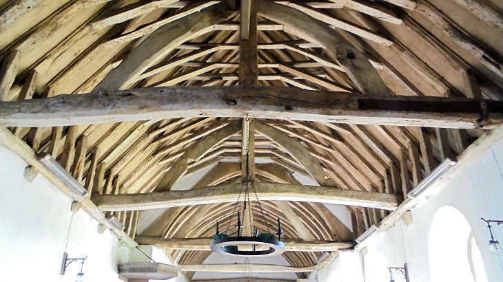
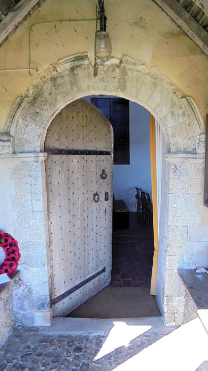
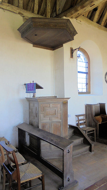
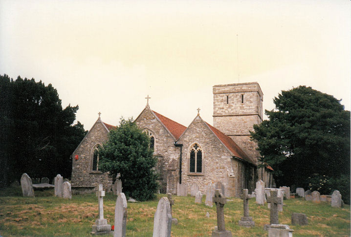
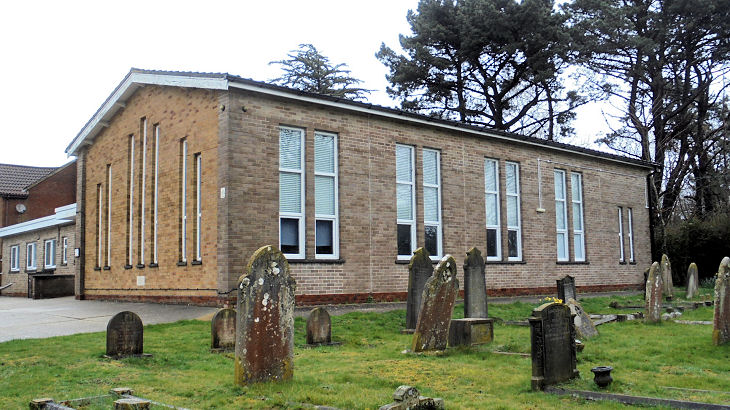
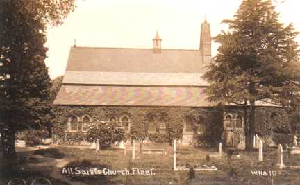
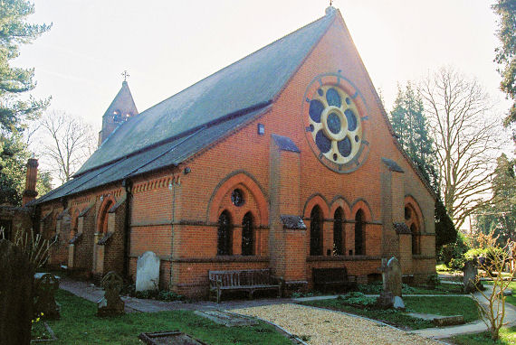
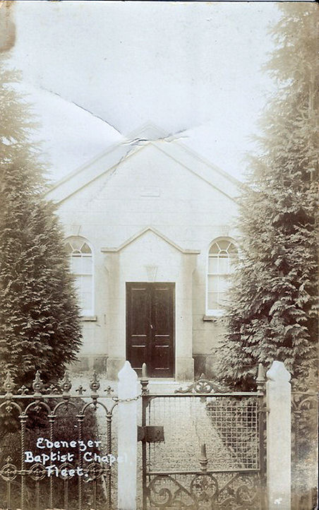
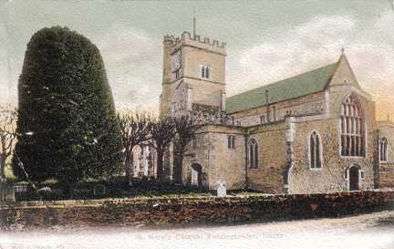
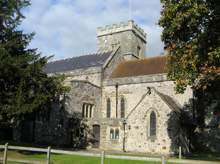
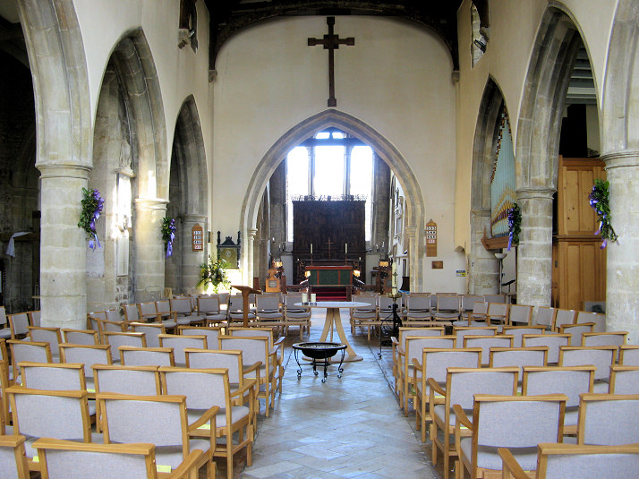
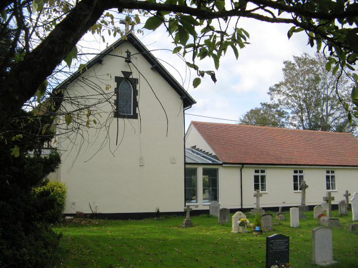
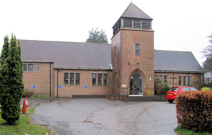
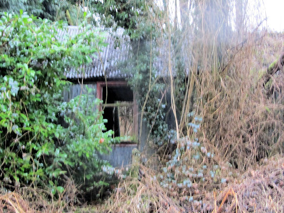
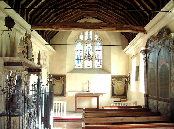
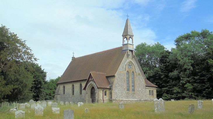
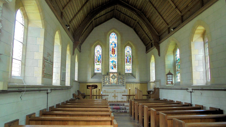
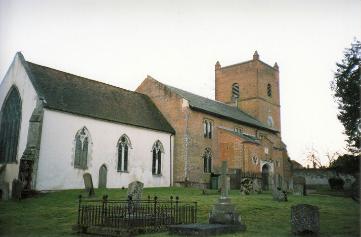
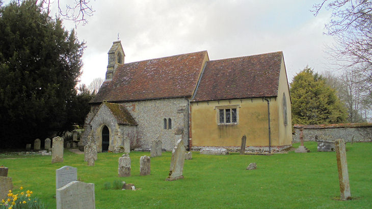
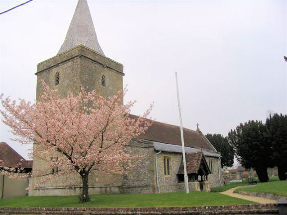
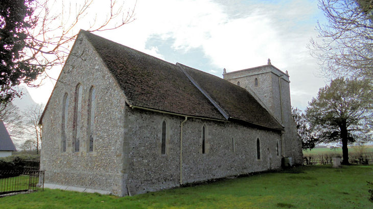
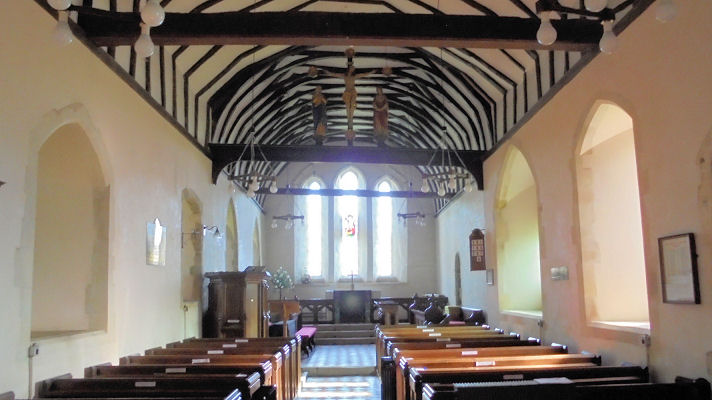
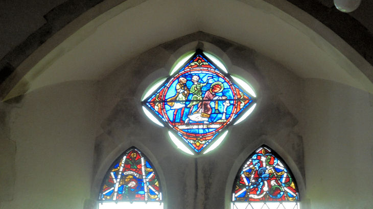
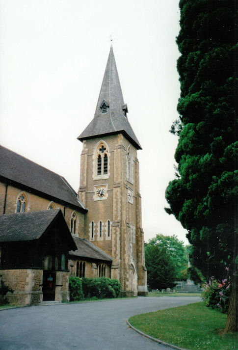
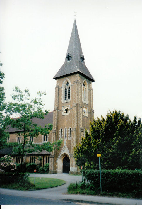
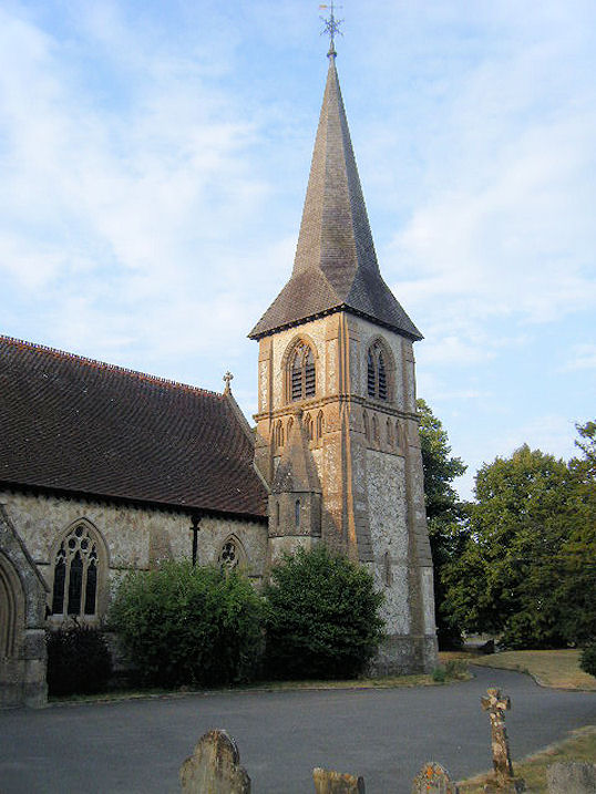
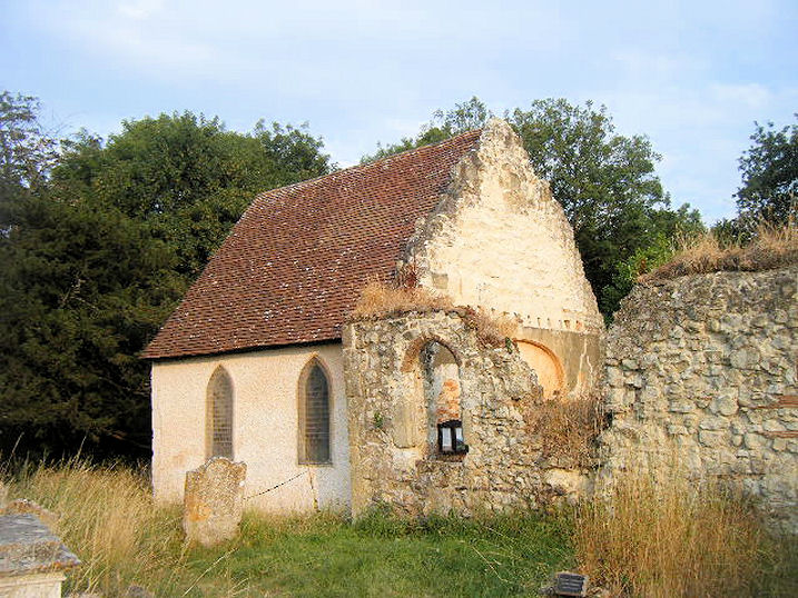
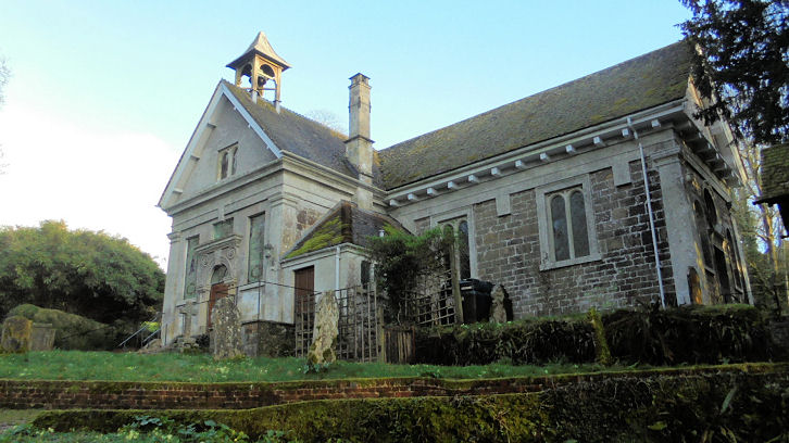
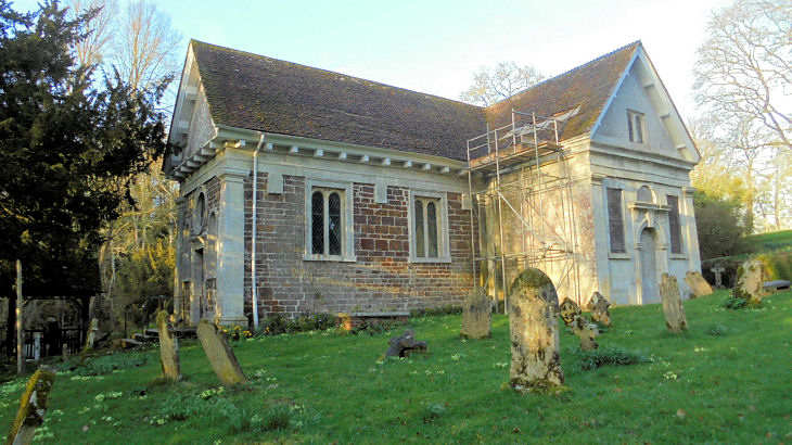
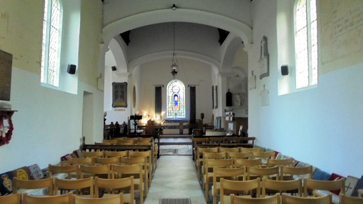
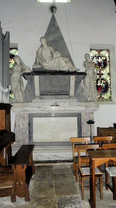
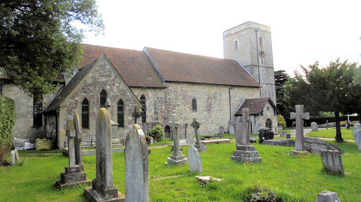
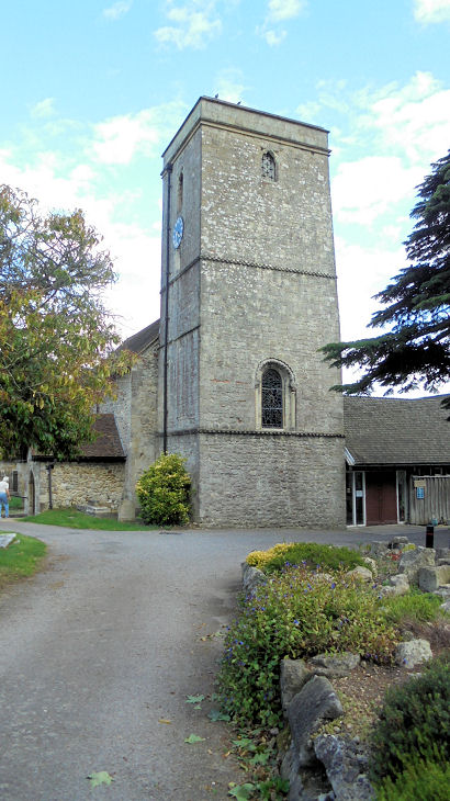
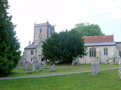
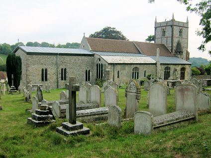
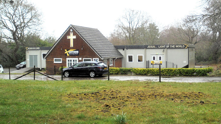
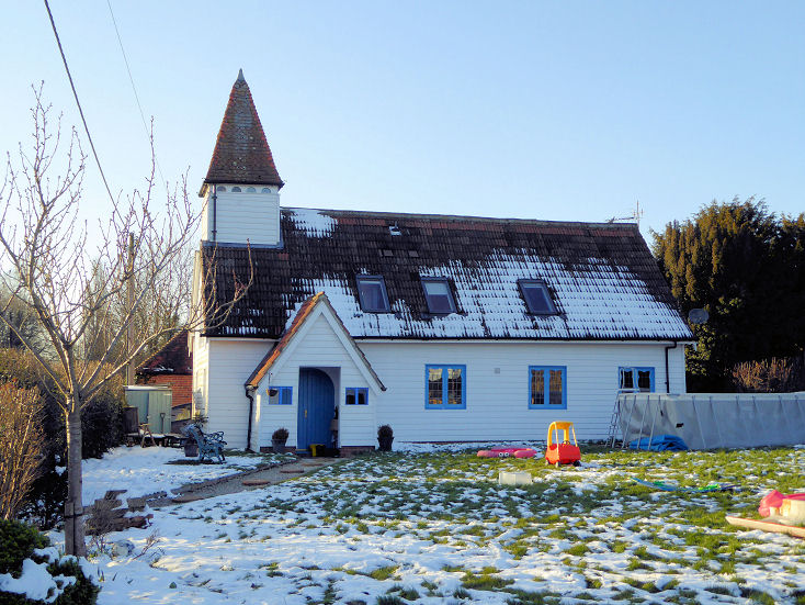
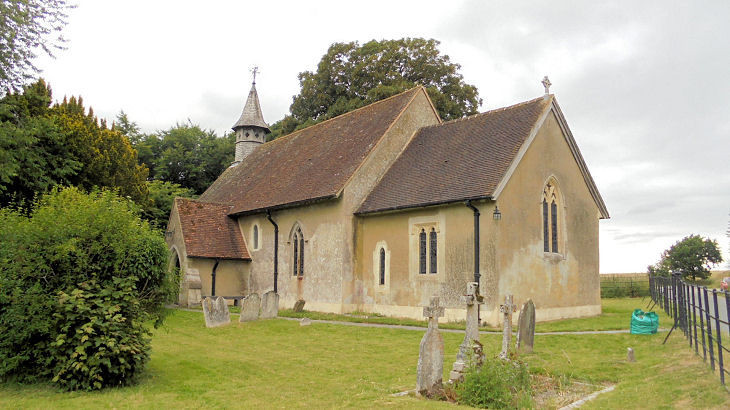
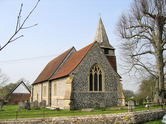
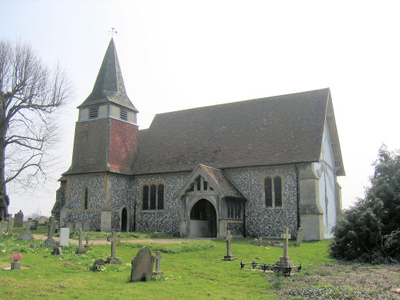
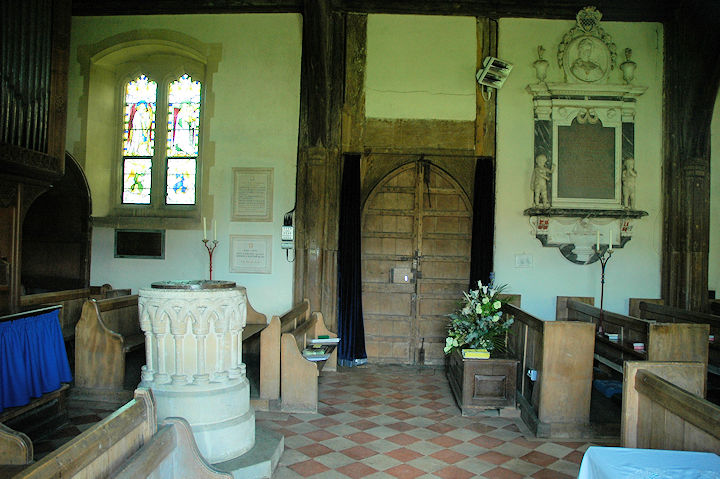
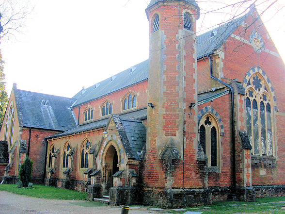
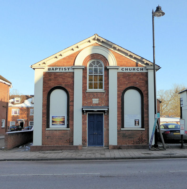
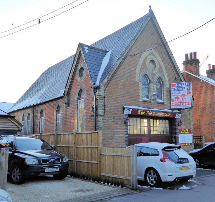
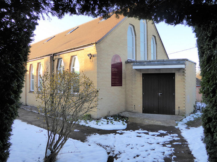
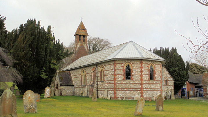
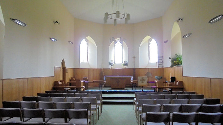
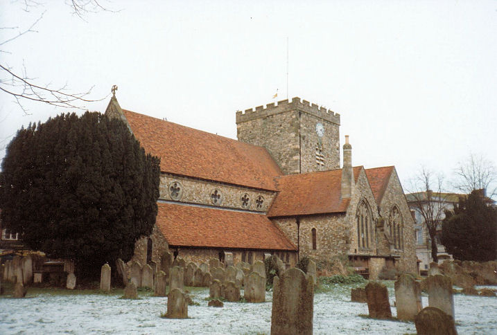
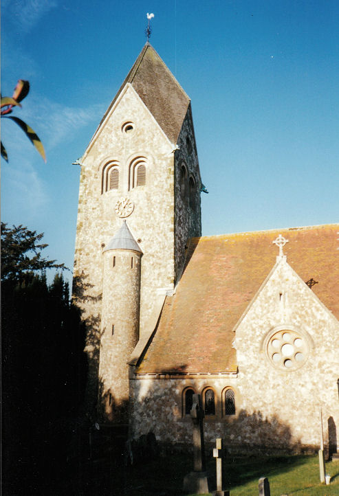
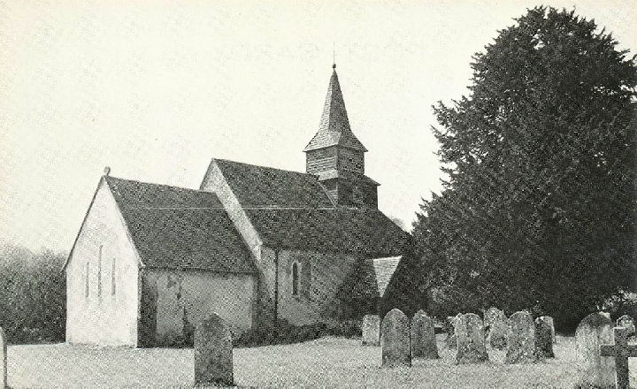
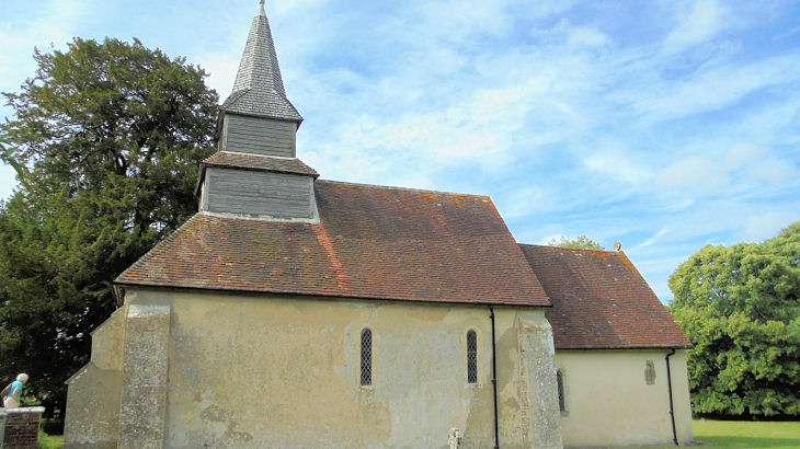
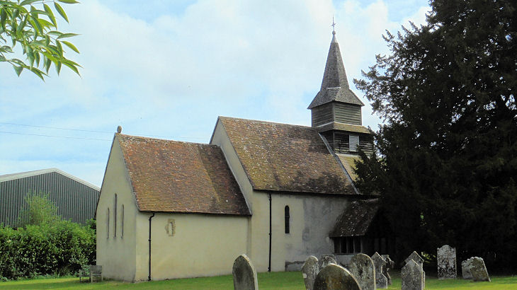
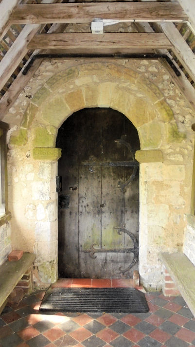
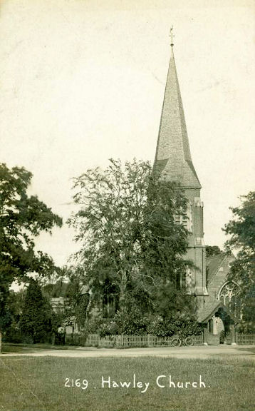
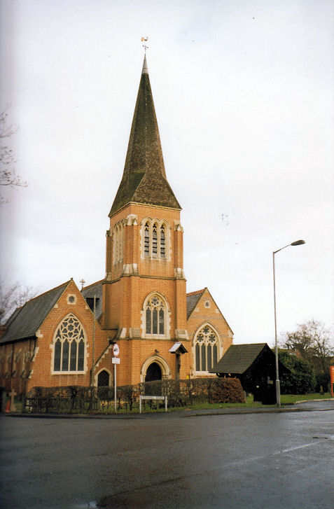
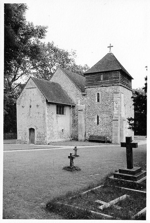
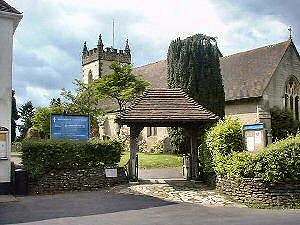
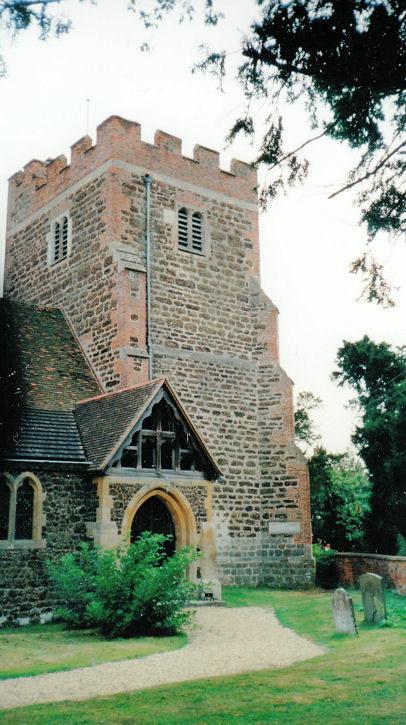
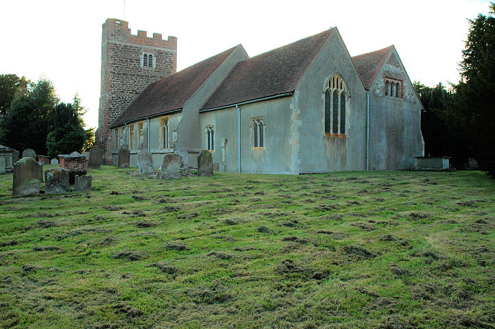
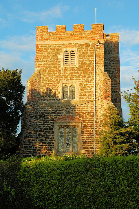
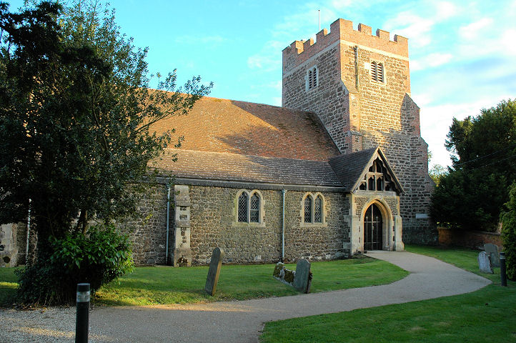
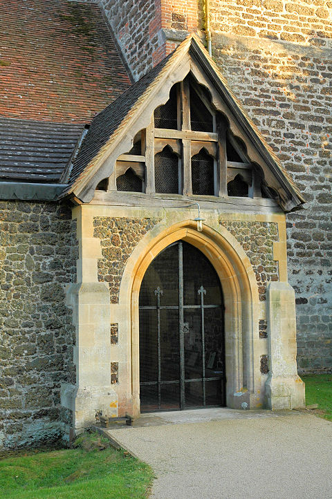
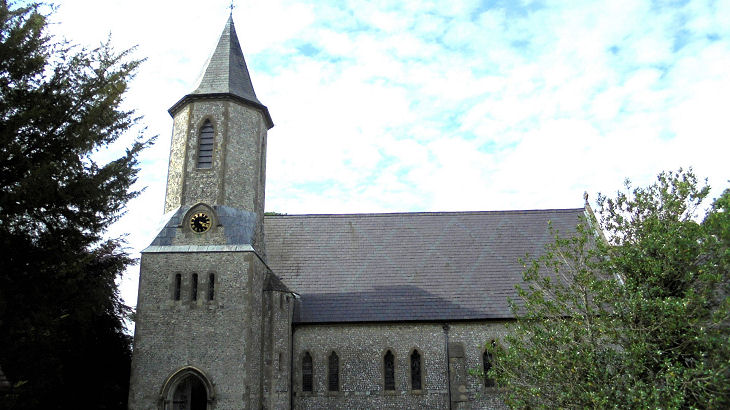
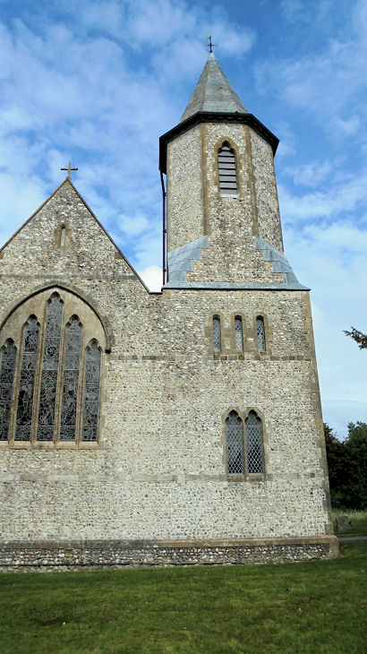
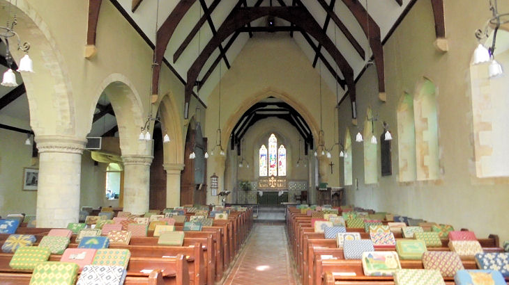
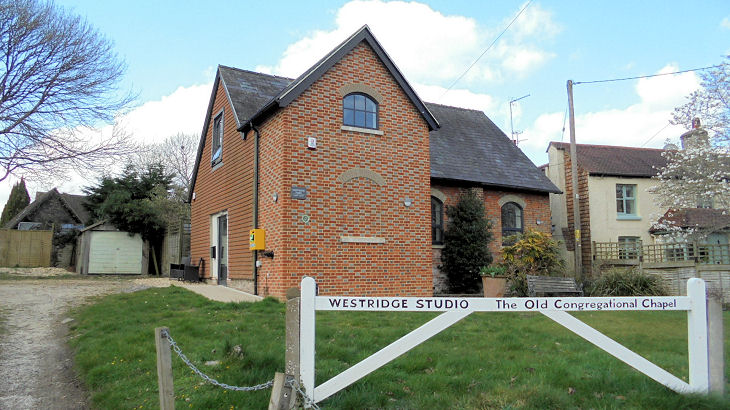
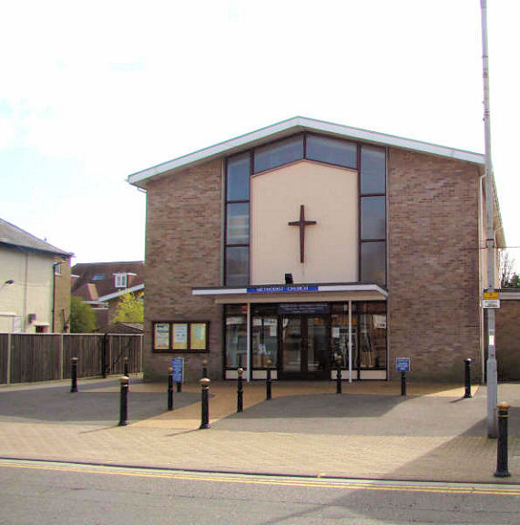
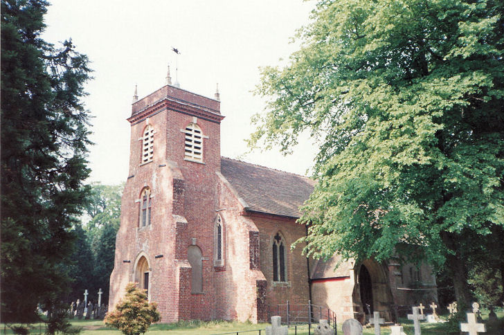
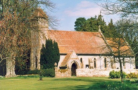
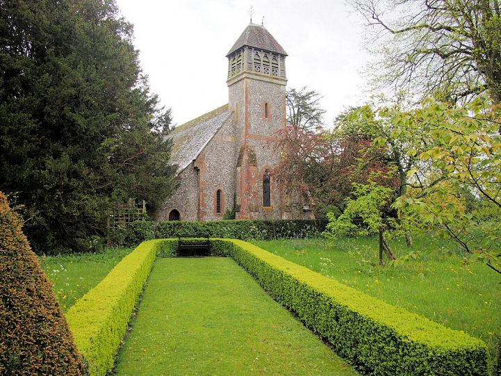
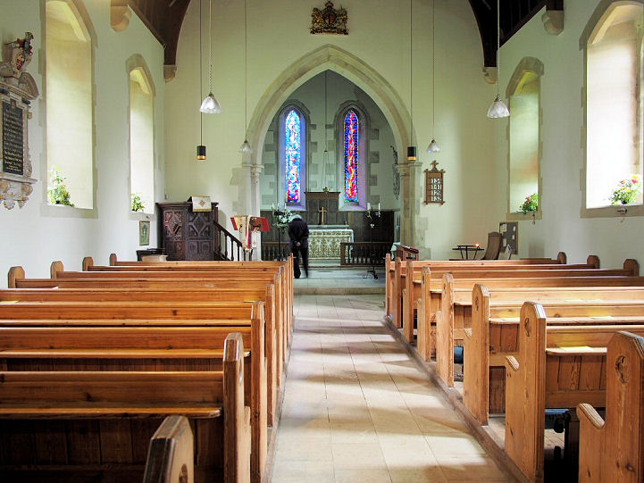
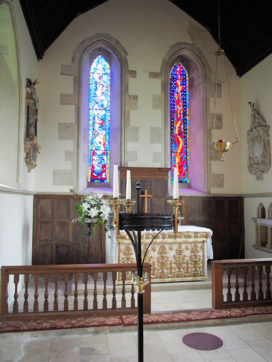
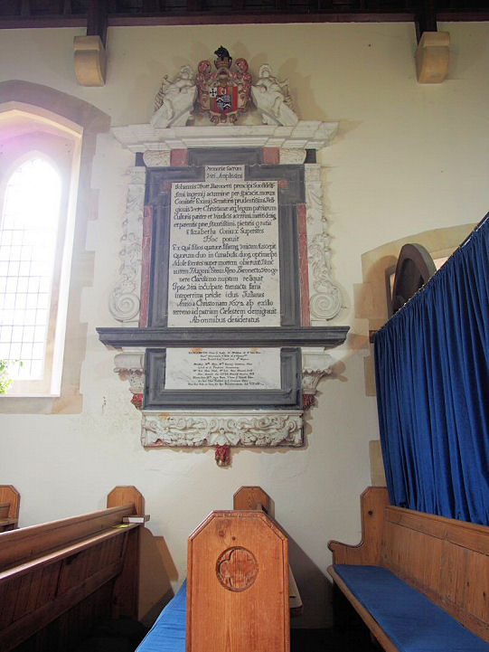
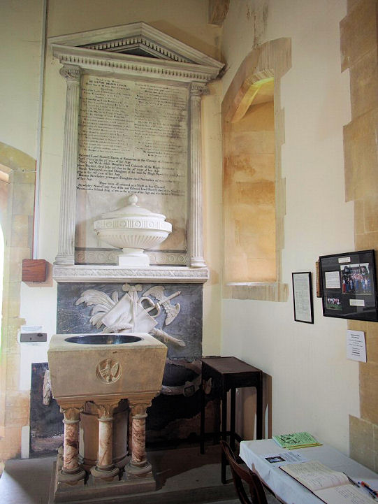
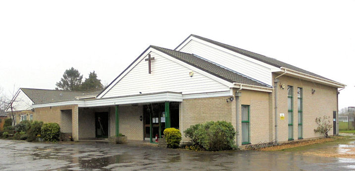
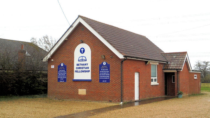
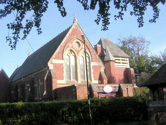
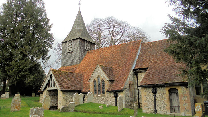
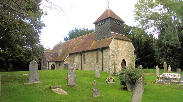
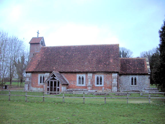
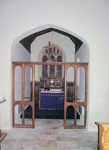
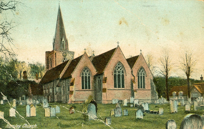
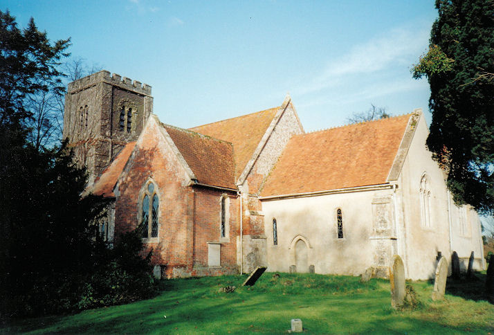
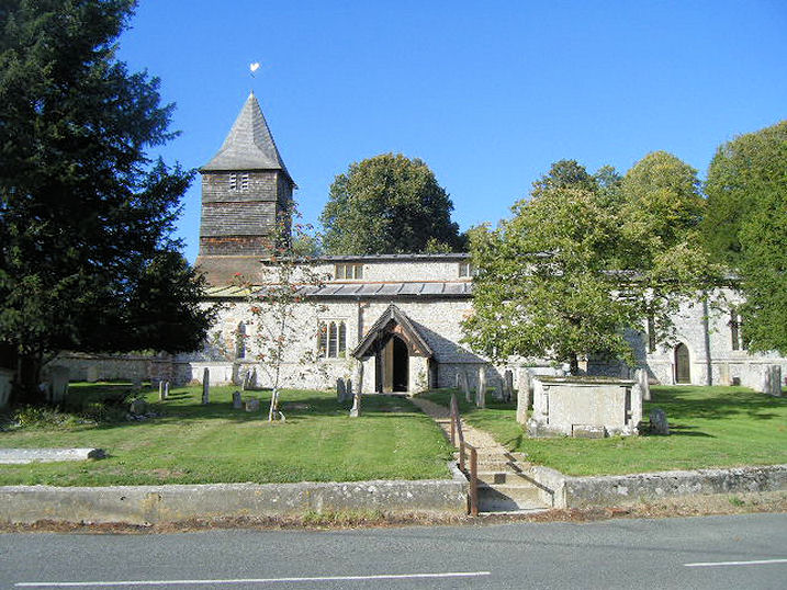
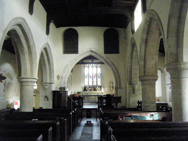
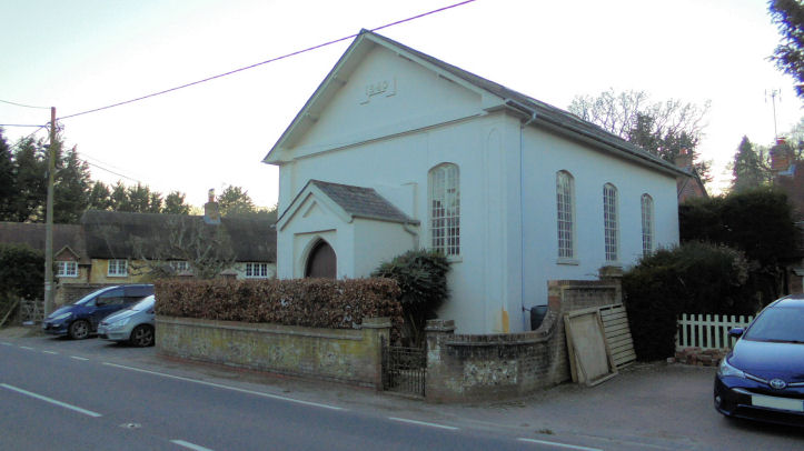
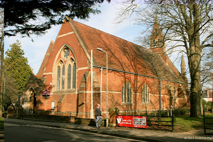
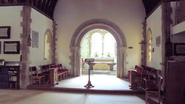
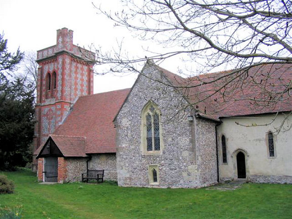
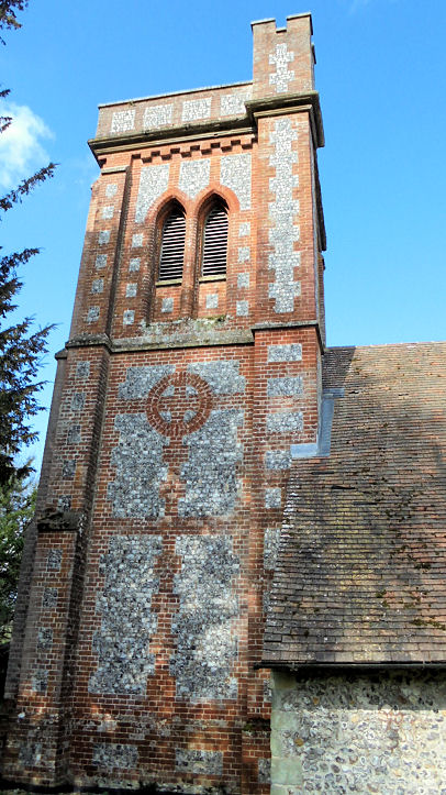
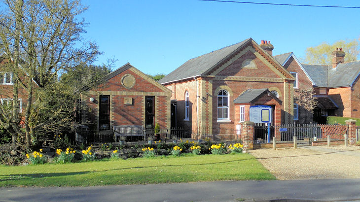
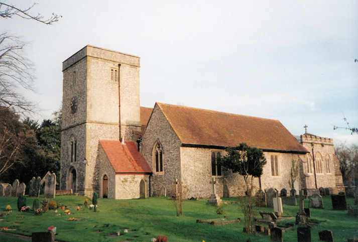
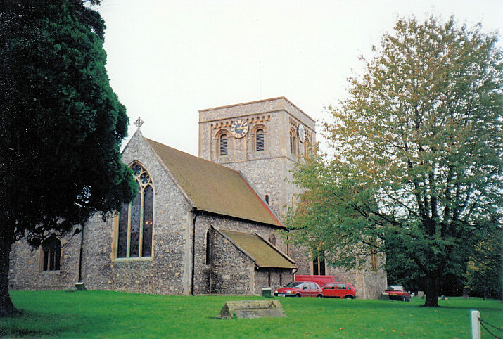
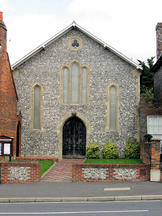
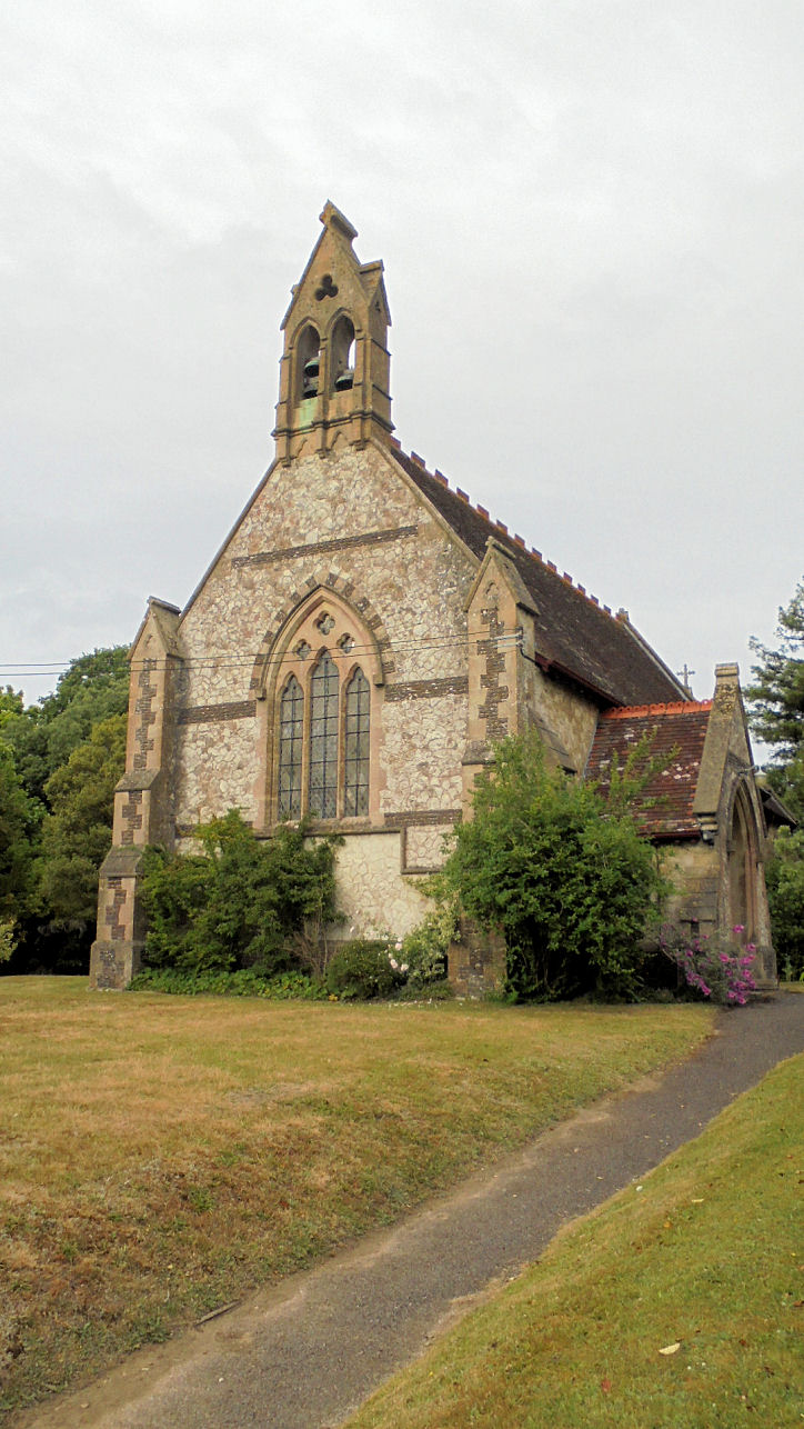
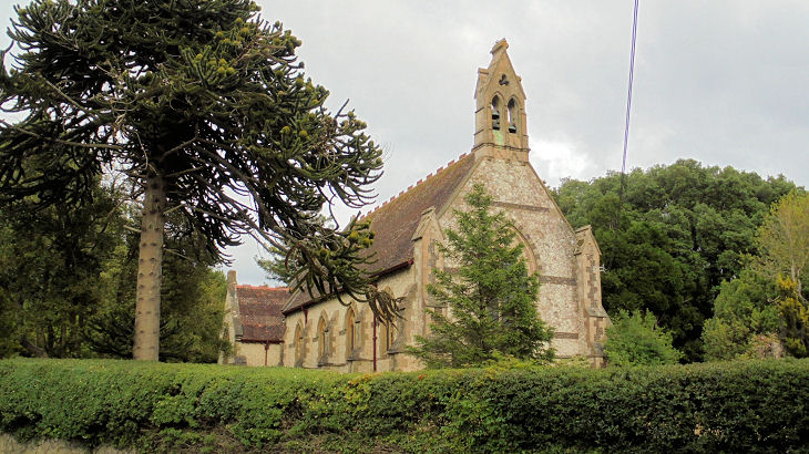
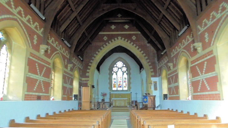
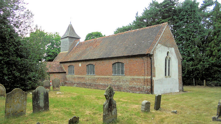
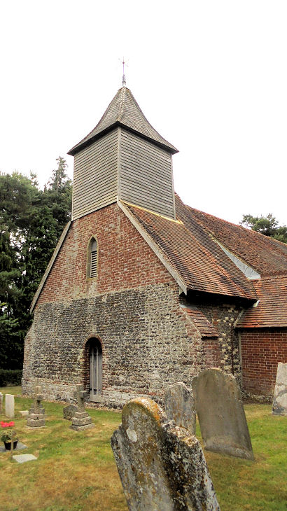
.JPG)
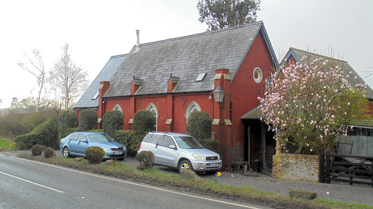
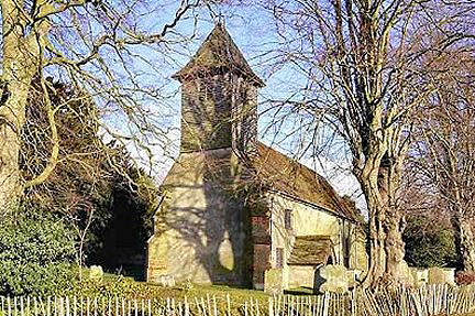
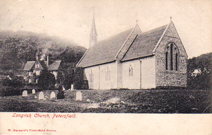
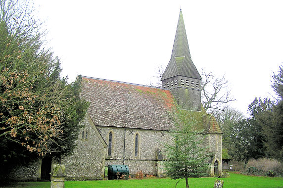
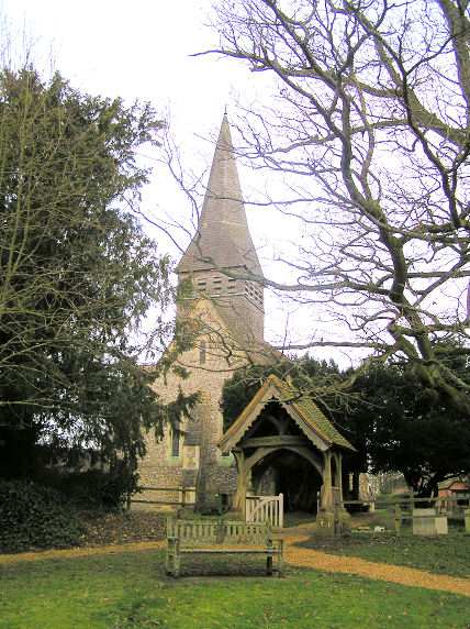
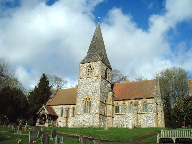
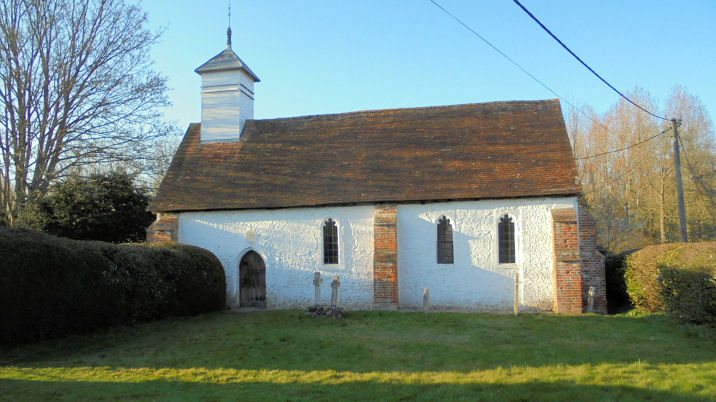
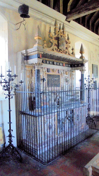
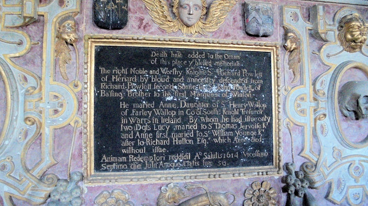
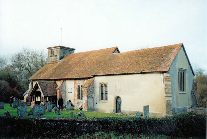
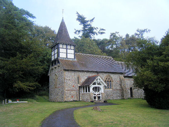
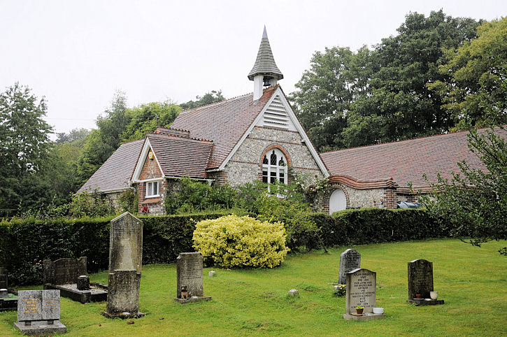
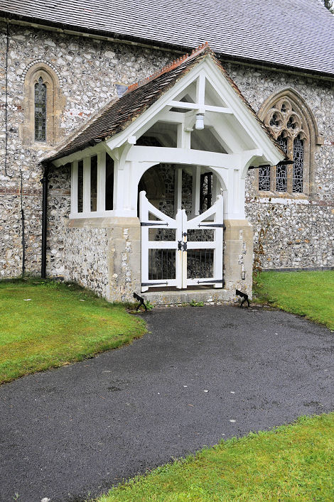
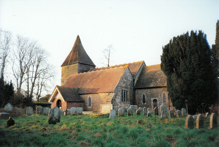
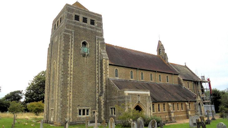
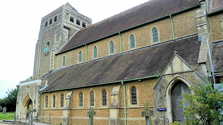
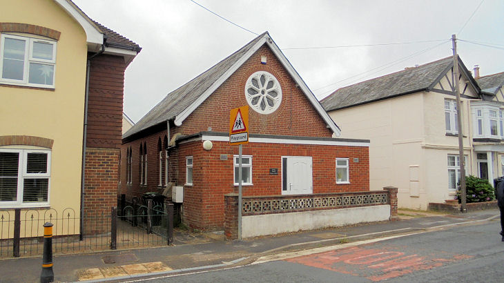
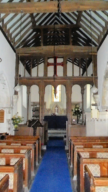
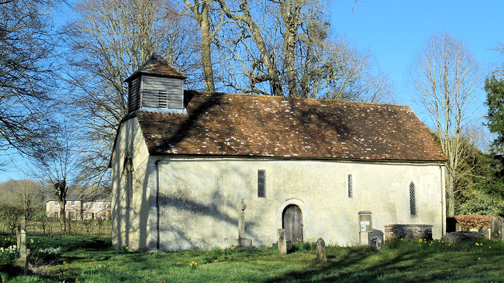
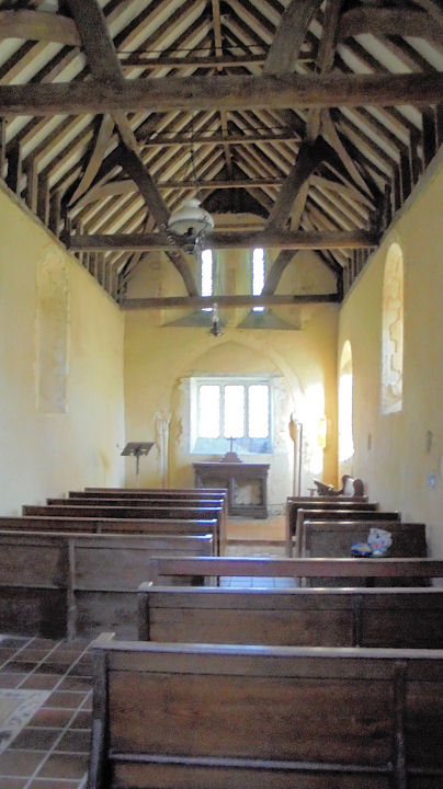
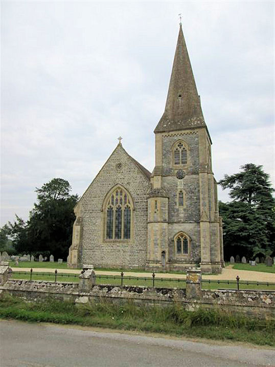
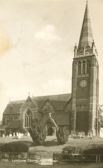
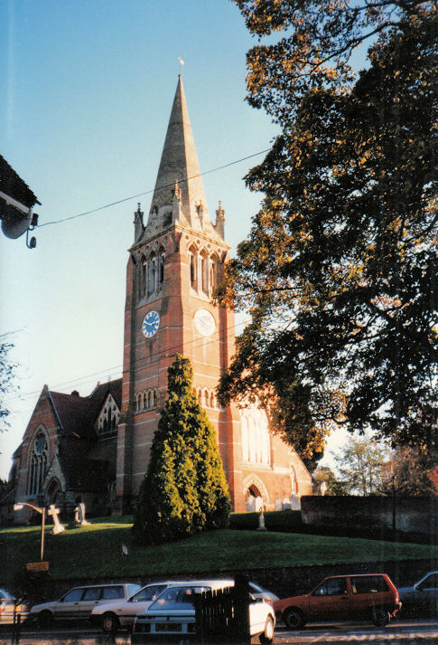
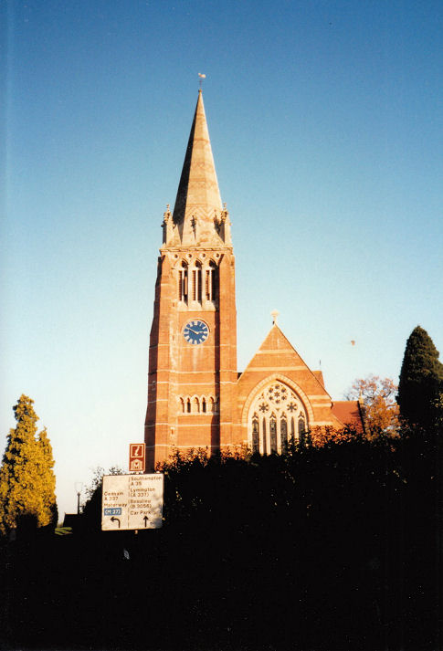
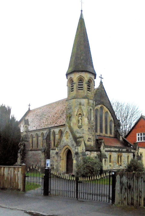
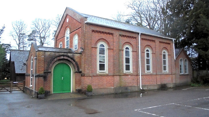
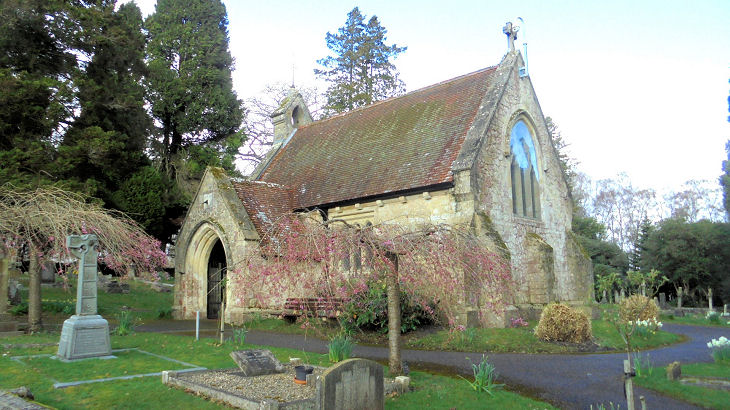
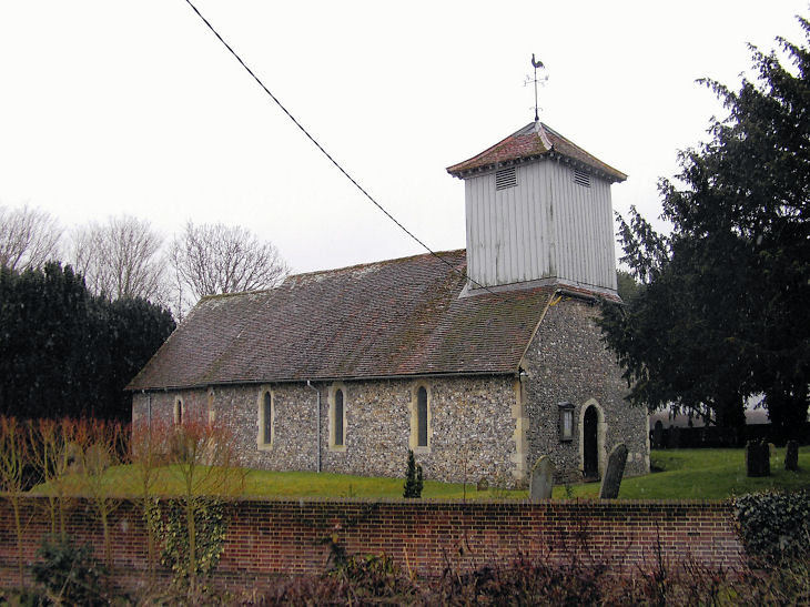
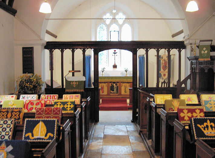
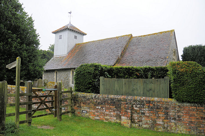
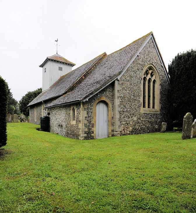
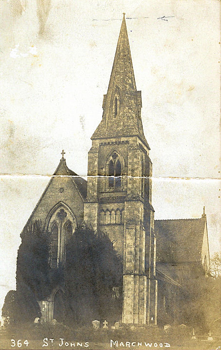
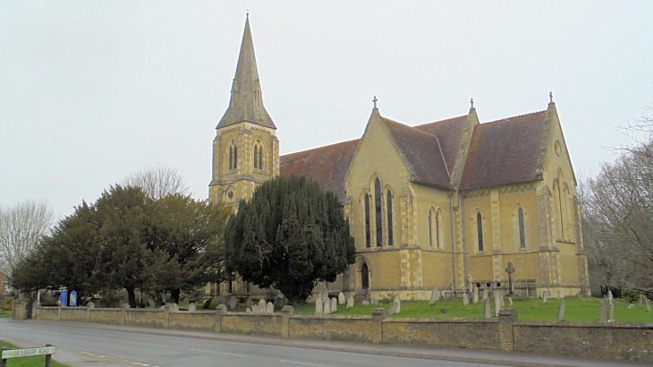
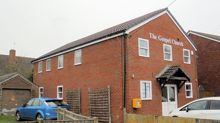
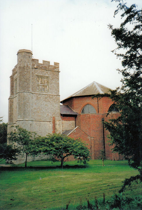
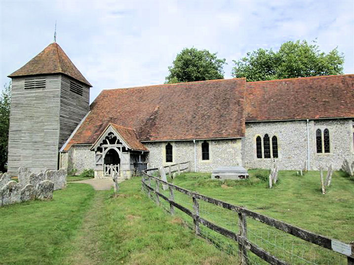
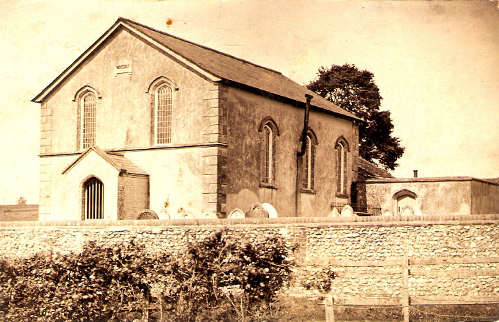
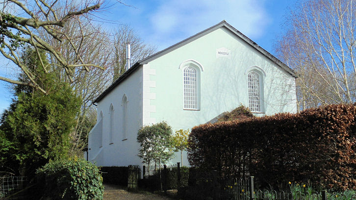
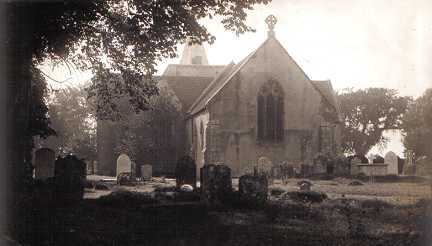
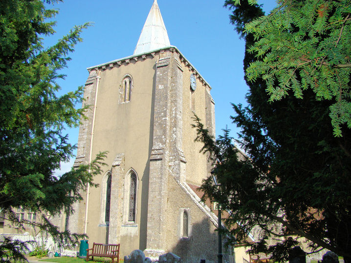
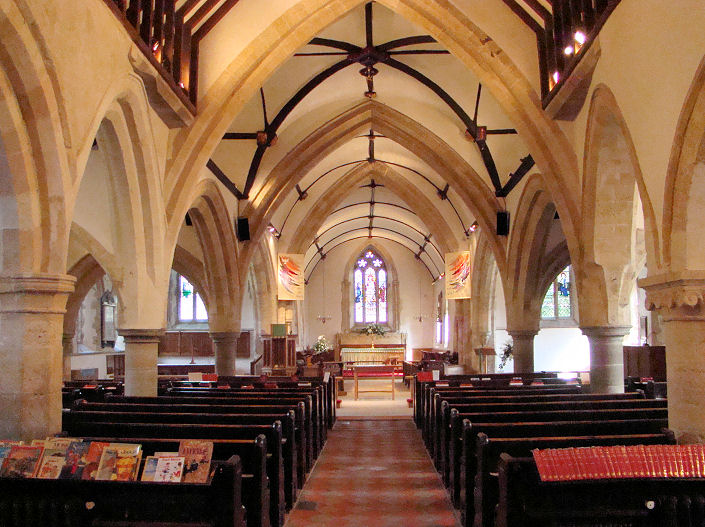
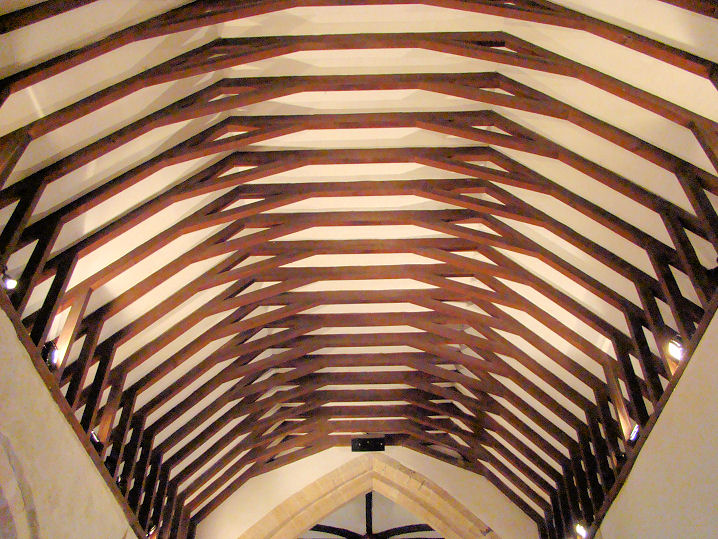
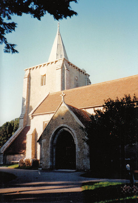
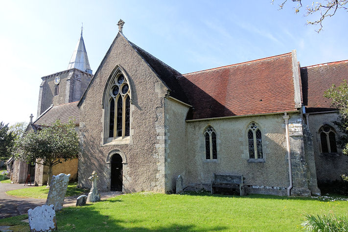
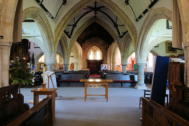
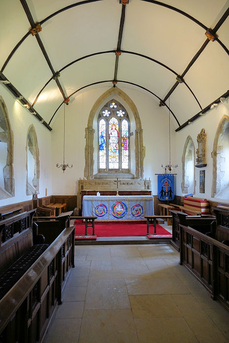
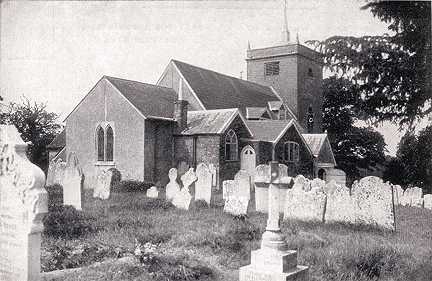
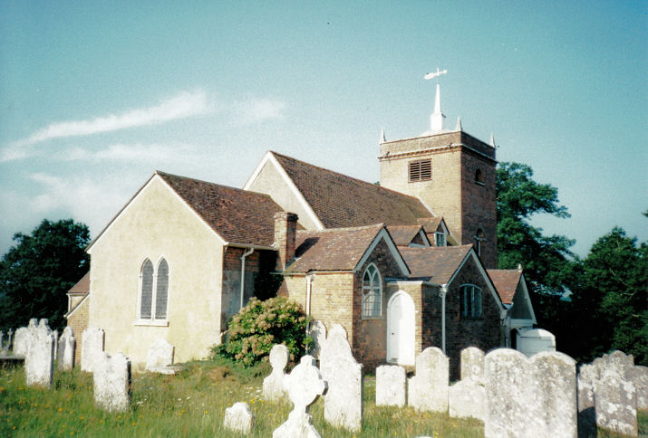
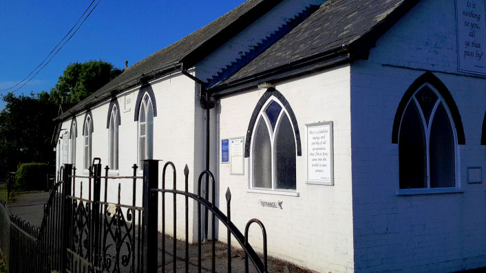
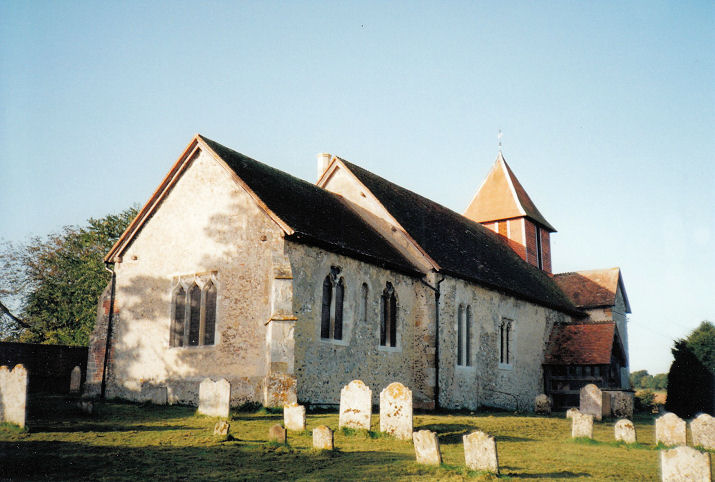
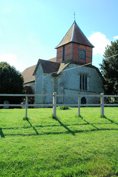
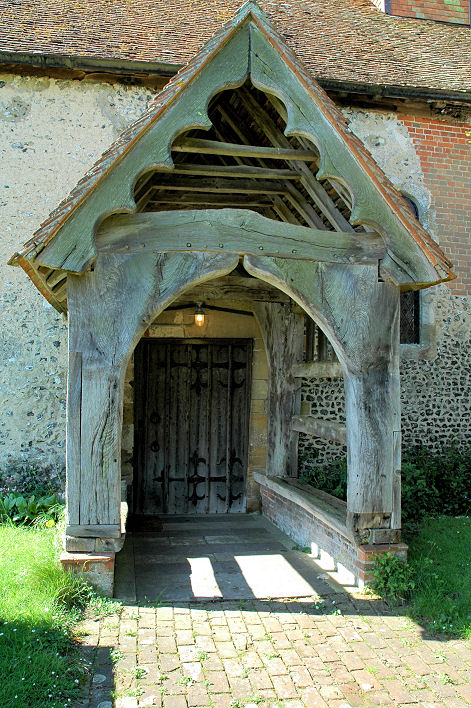
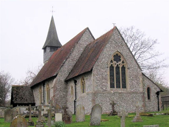
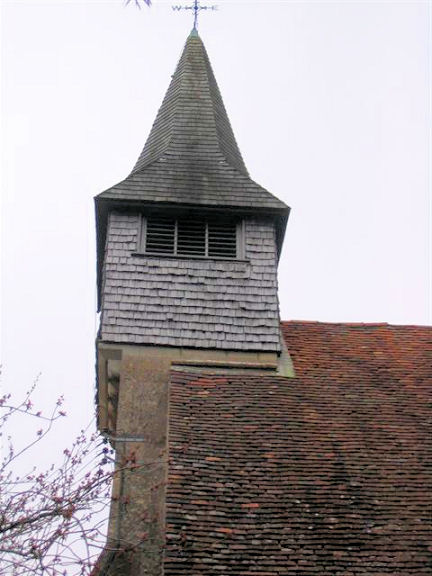
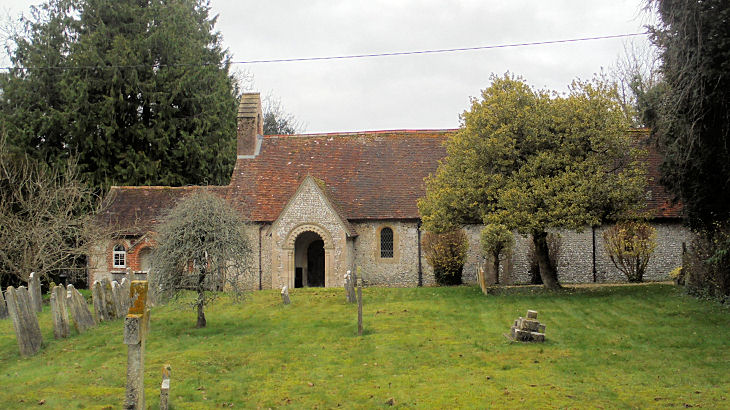
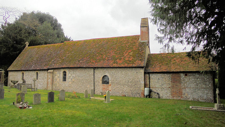
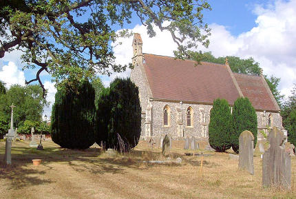
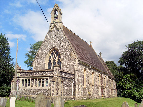
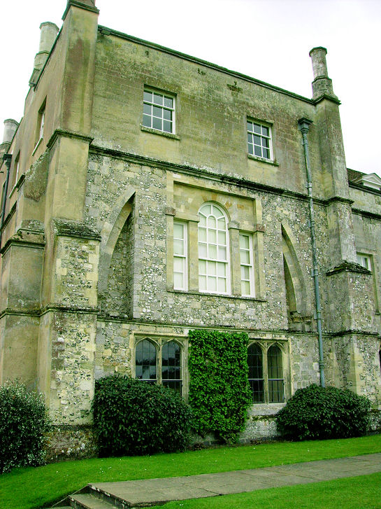
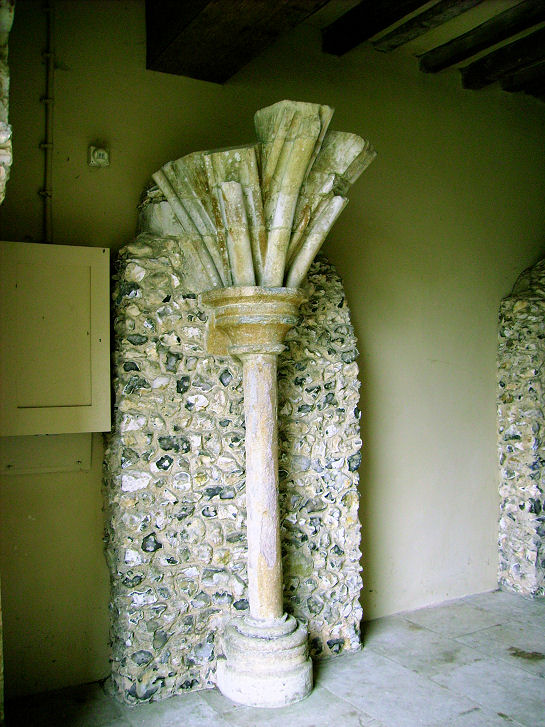
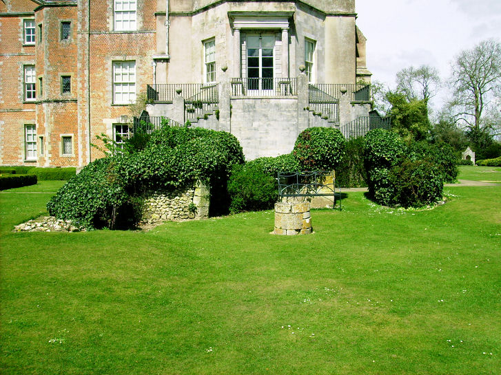
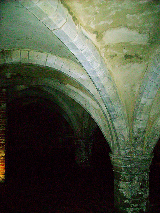
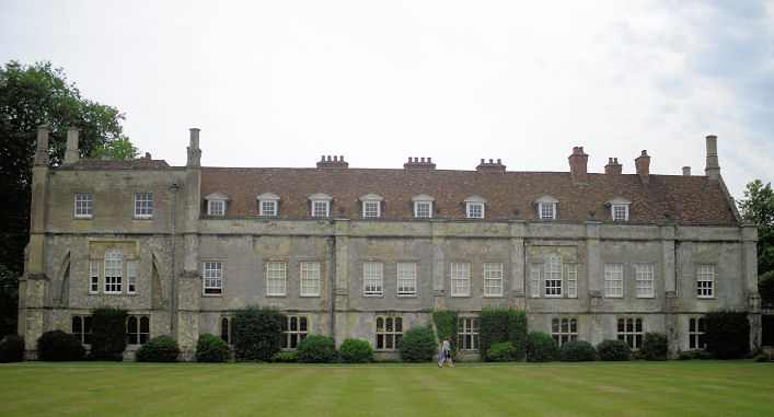
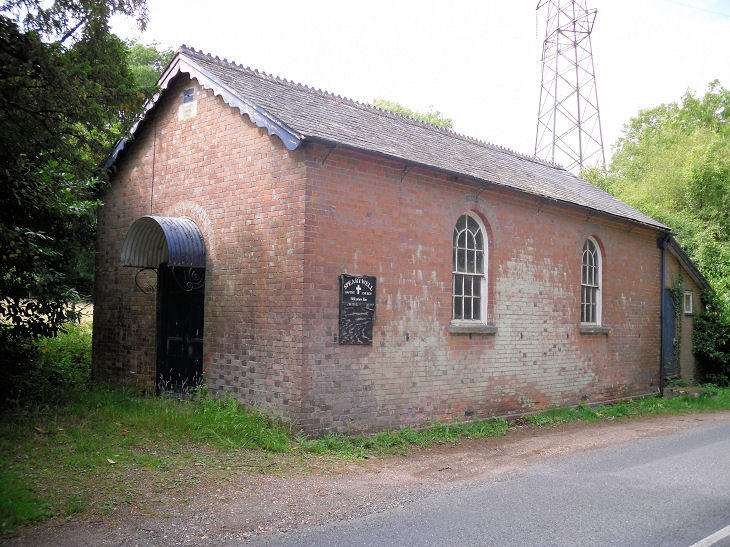
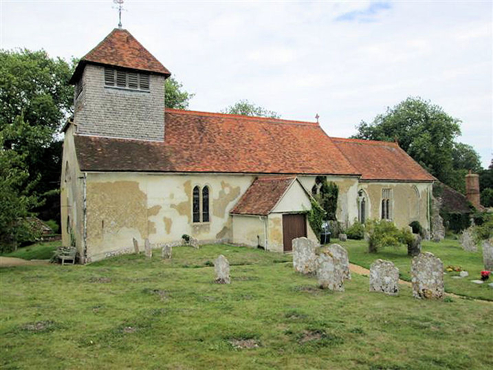
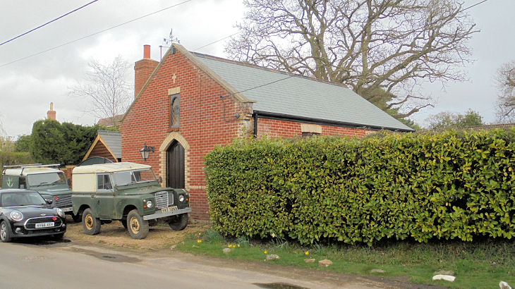
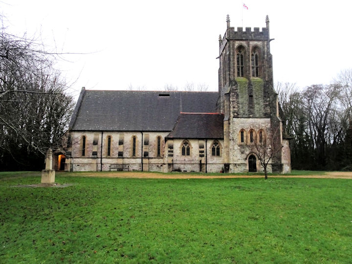
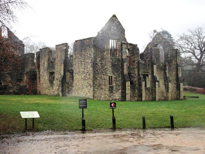
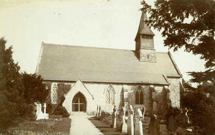
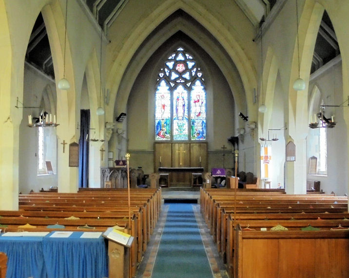
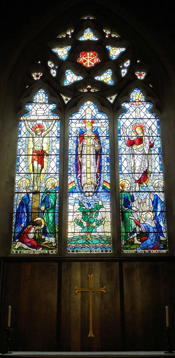
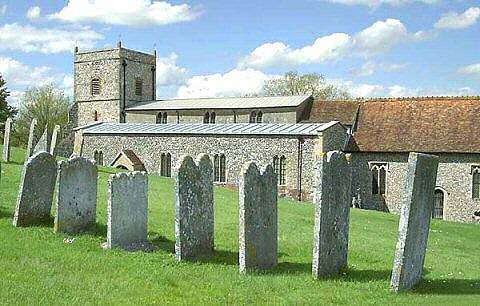
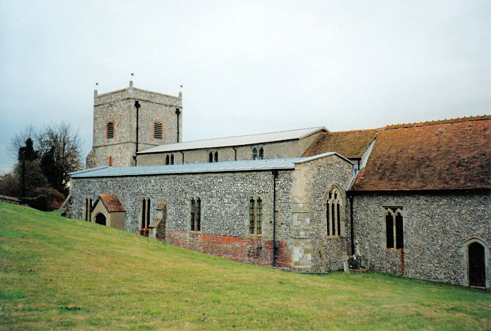
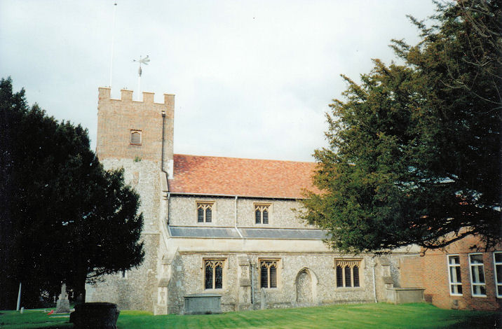
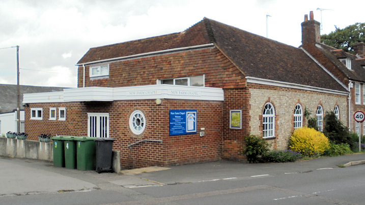
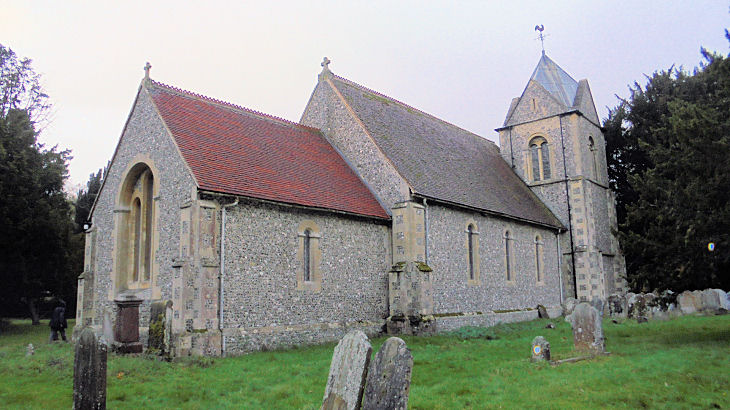
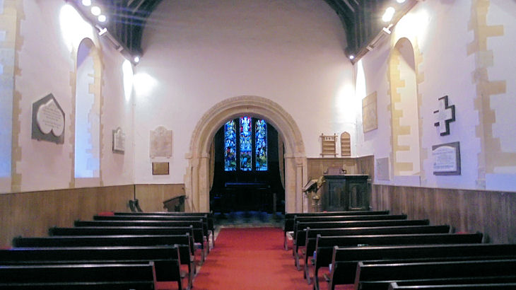
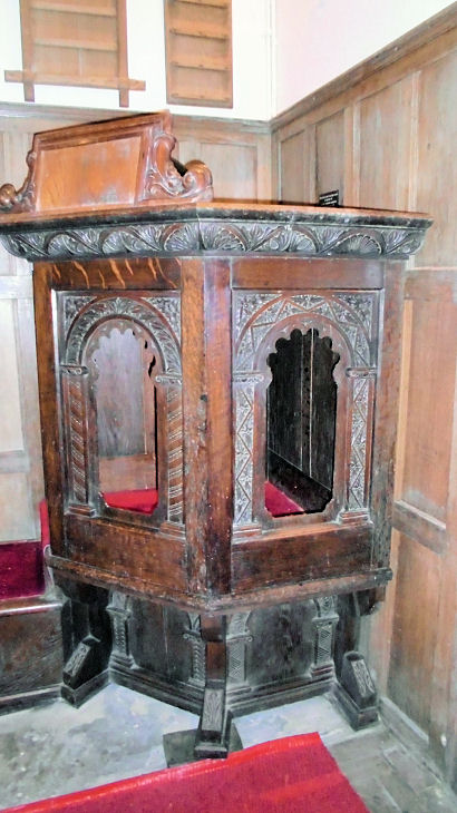
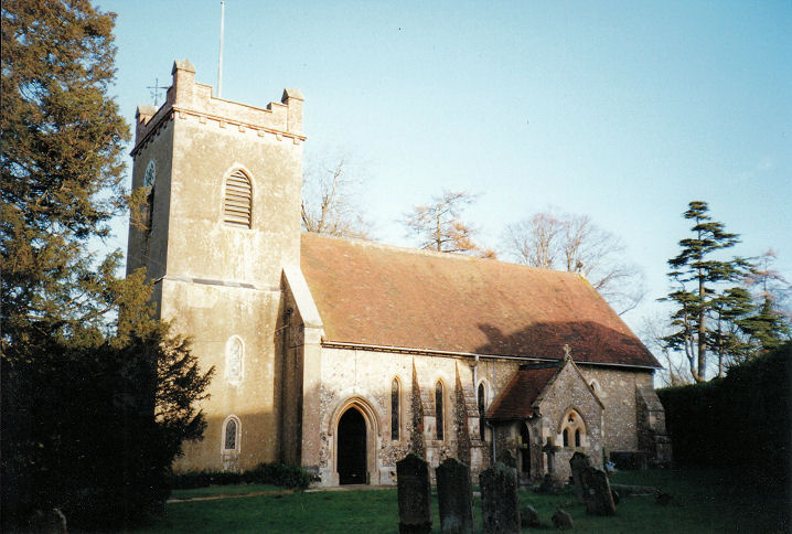
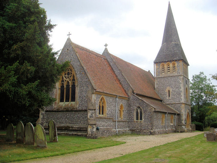
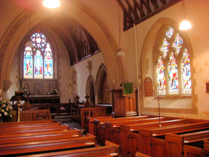
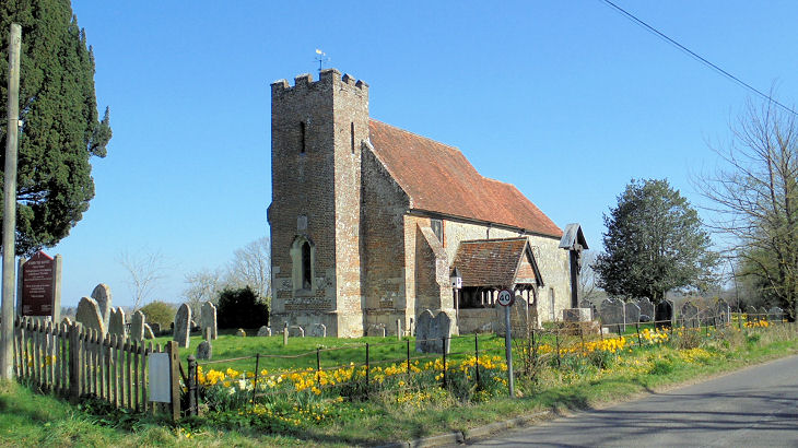
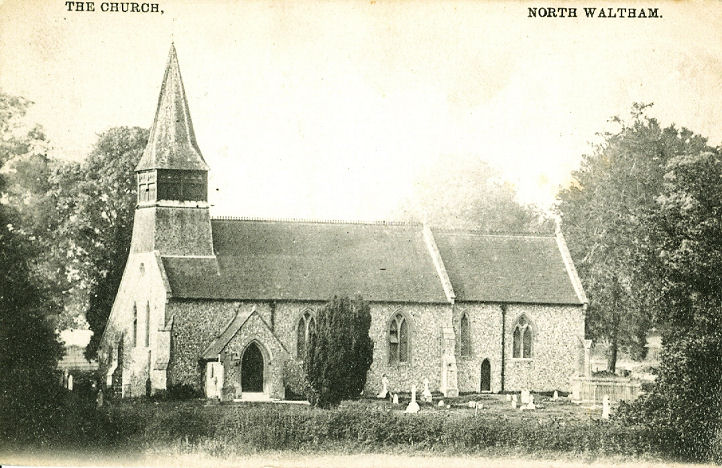
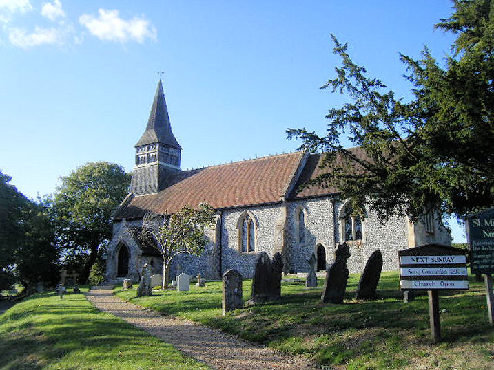
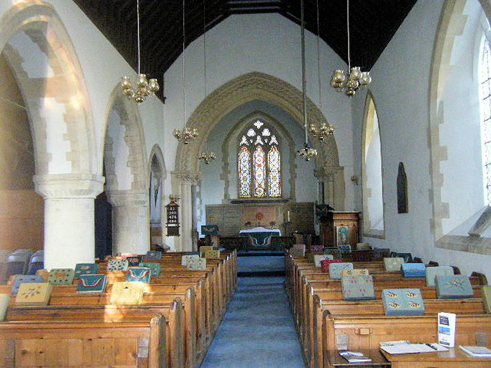
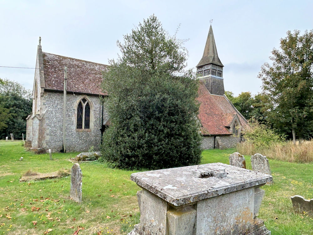
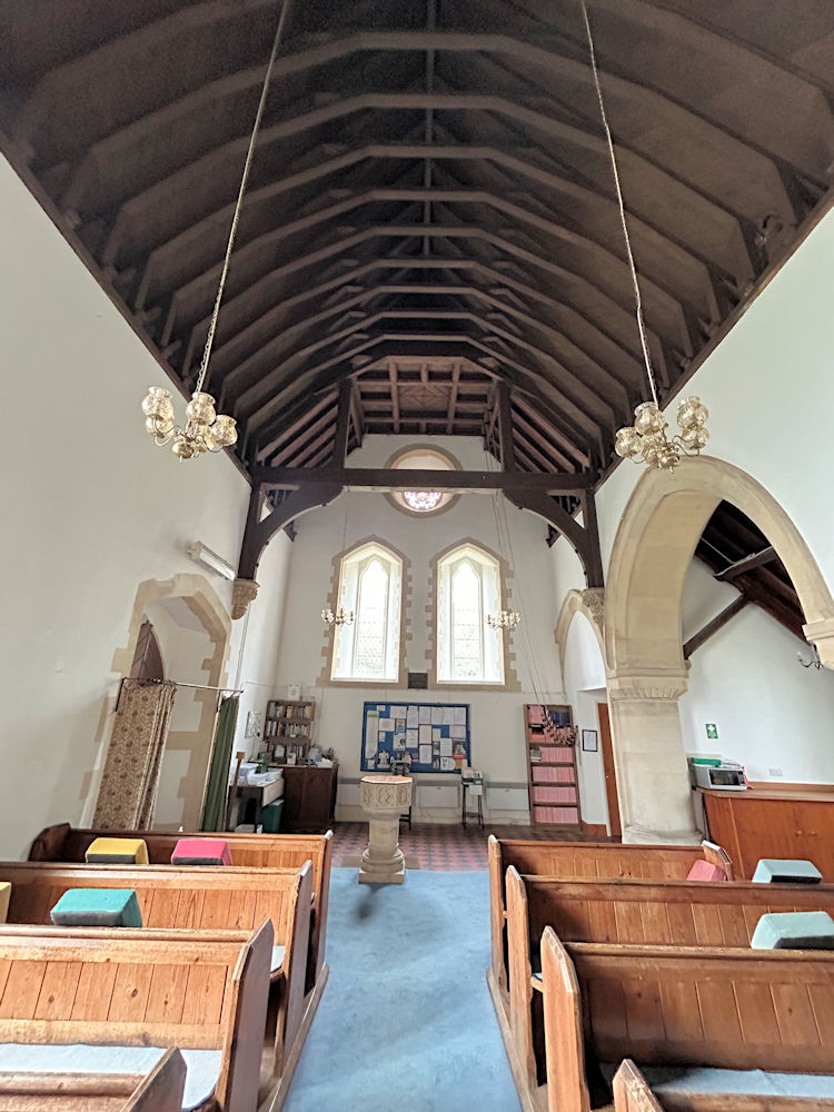
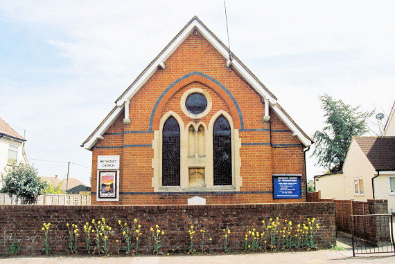
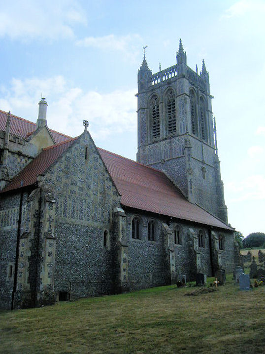
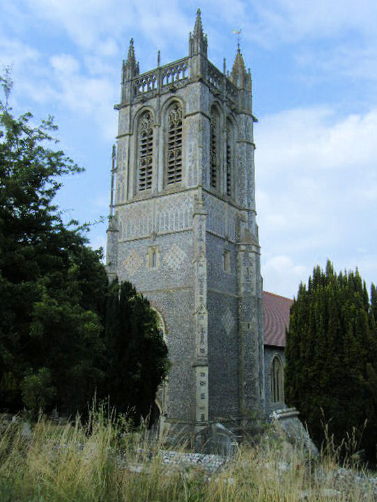
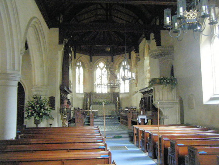
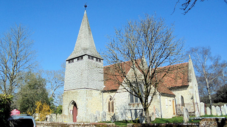
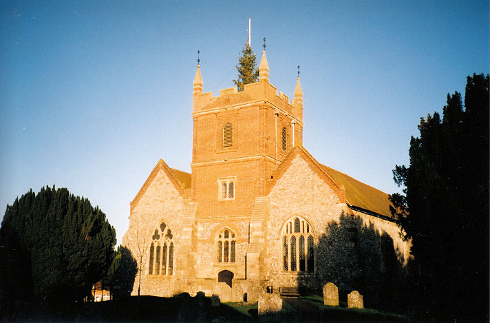
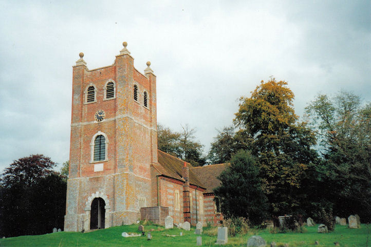
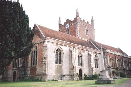
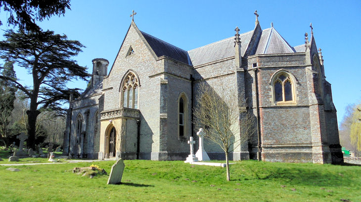
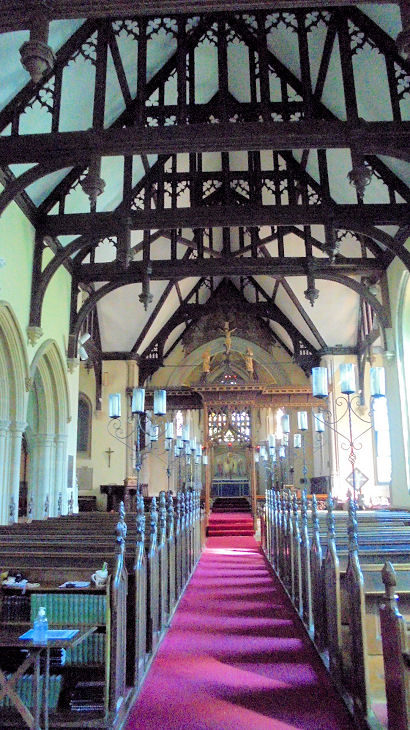
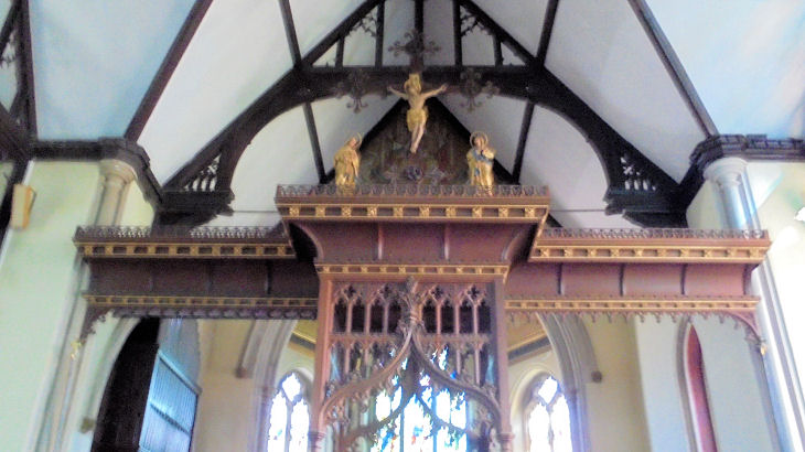
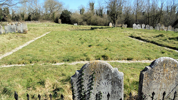
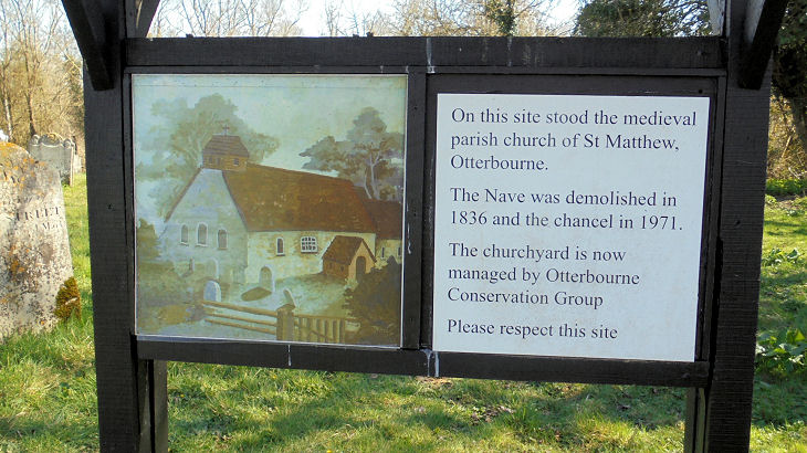
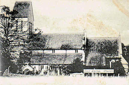
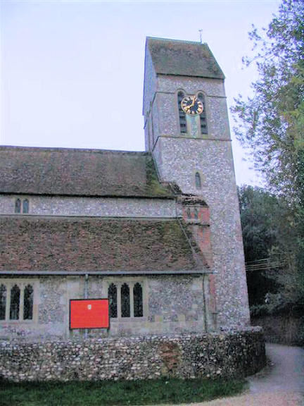
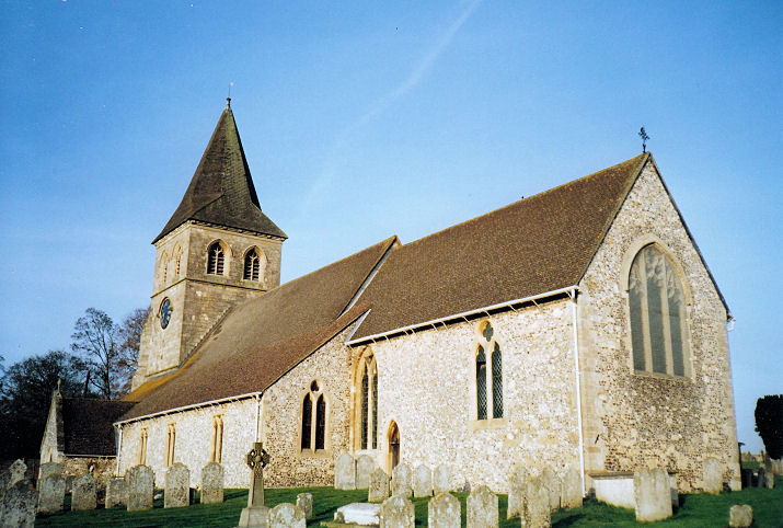
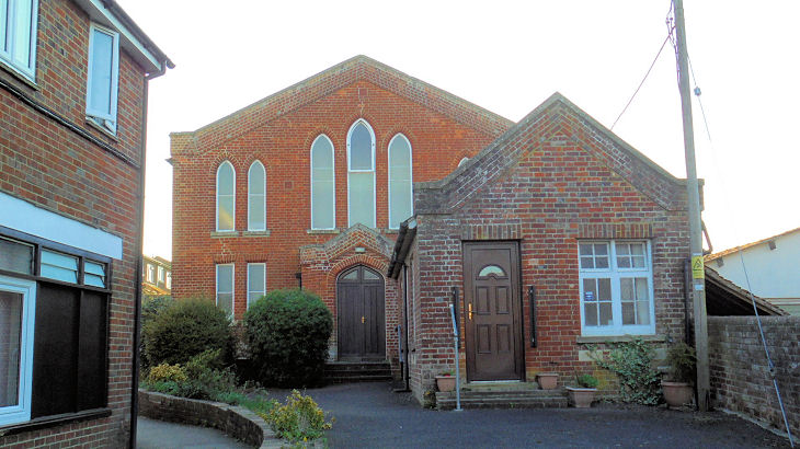
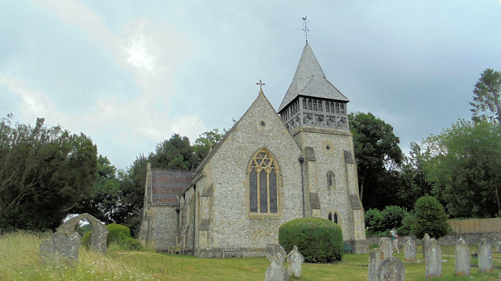
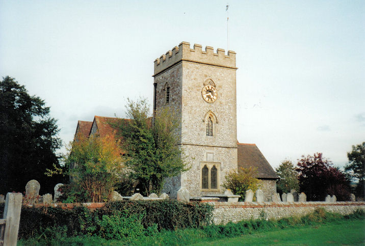
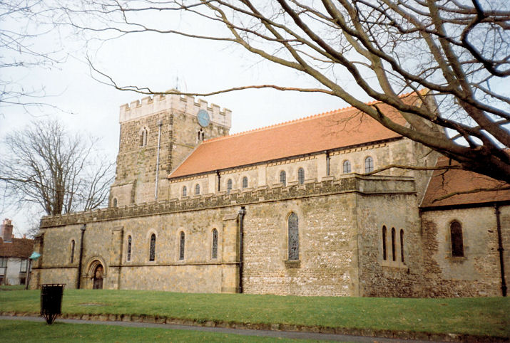
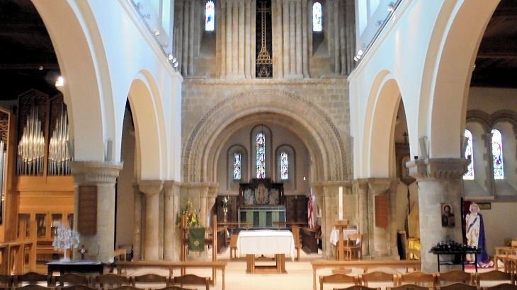
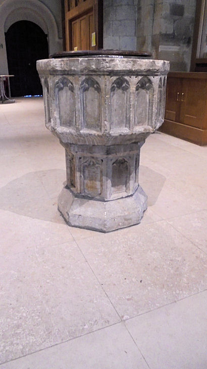
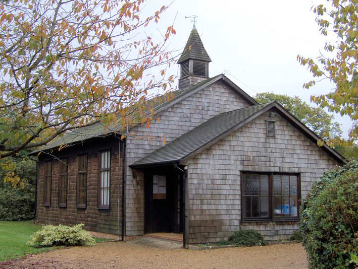
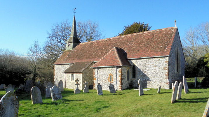
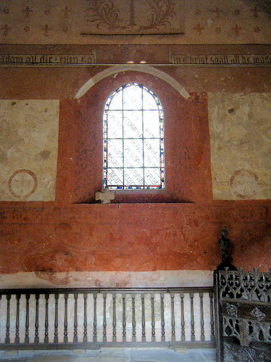
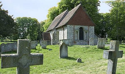
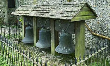
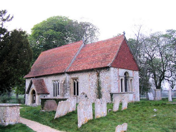
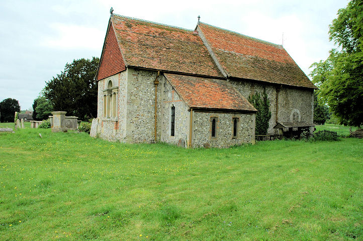
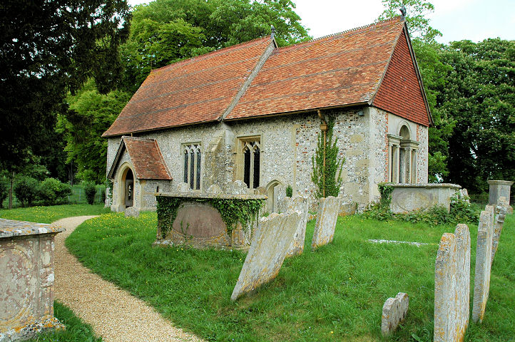
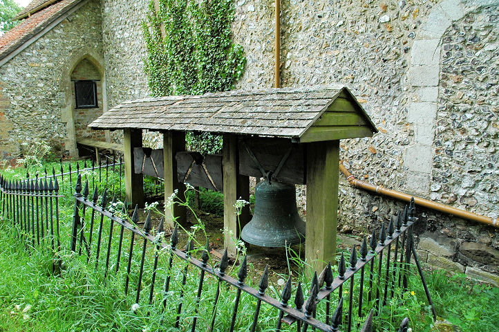
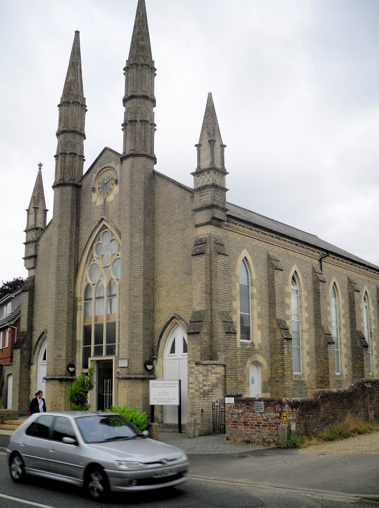
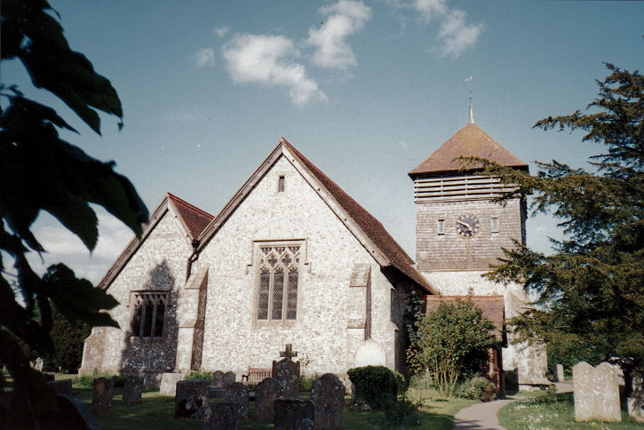
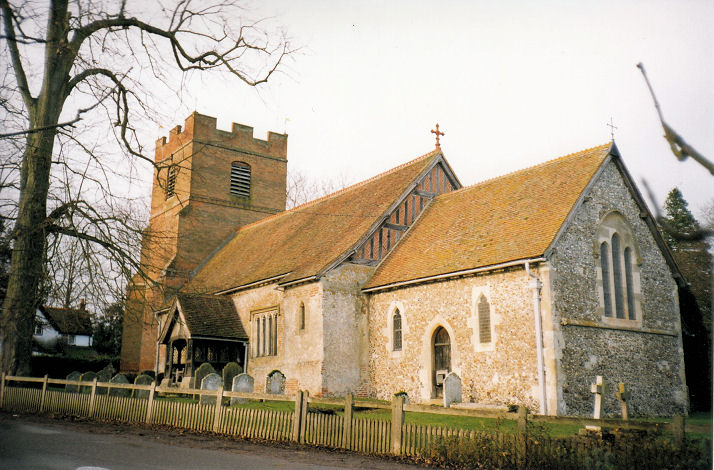
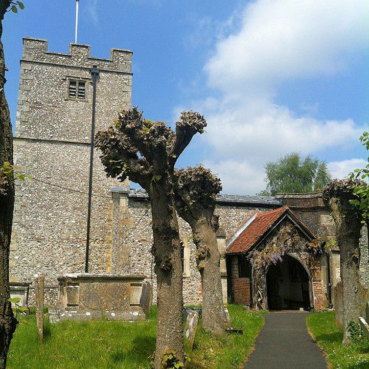
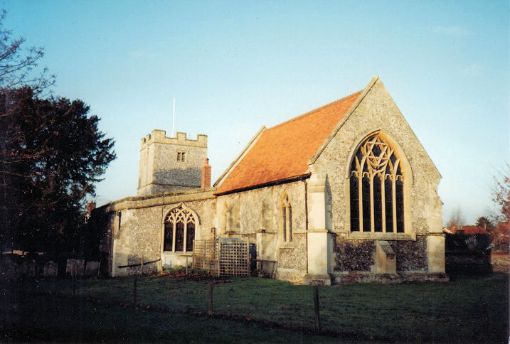
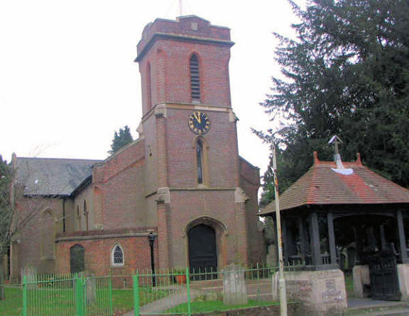
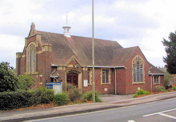
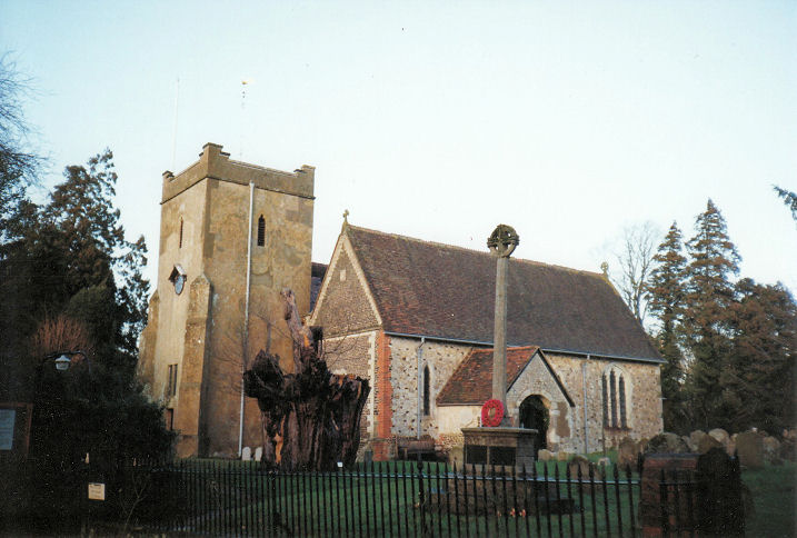
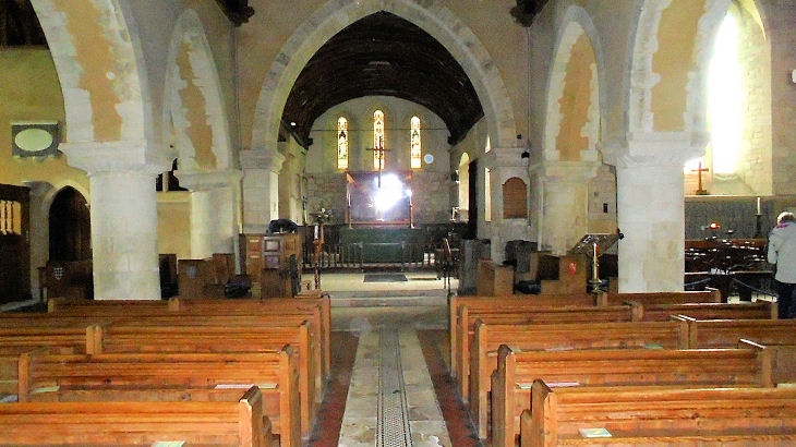
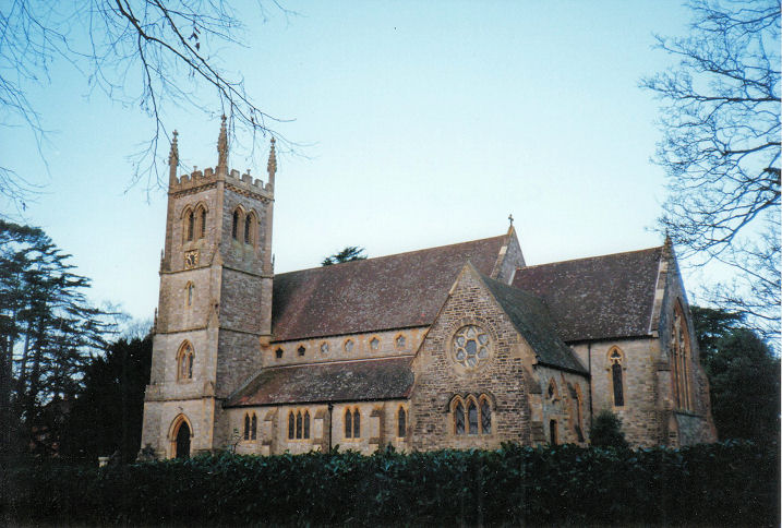
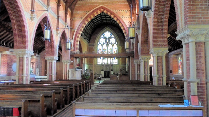
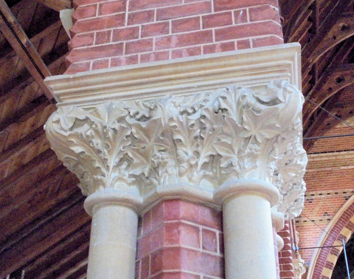
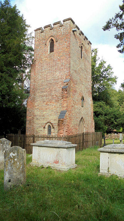
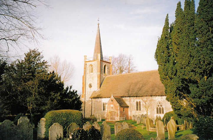
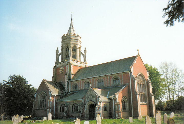
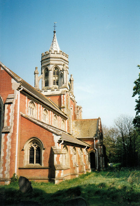
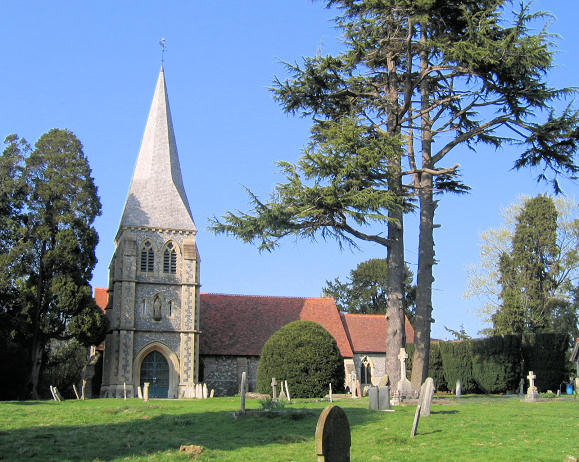
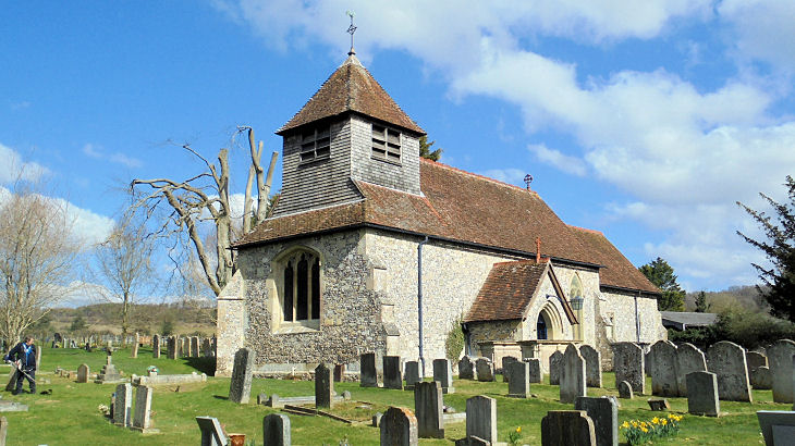
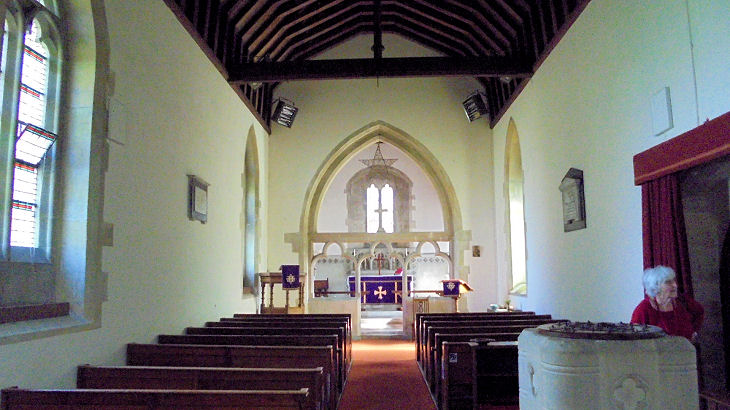
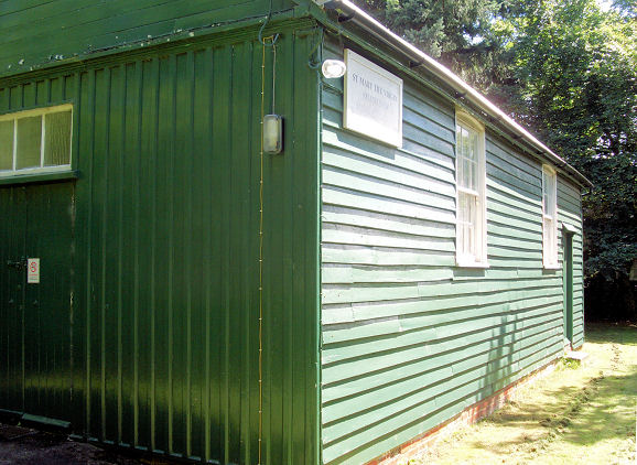
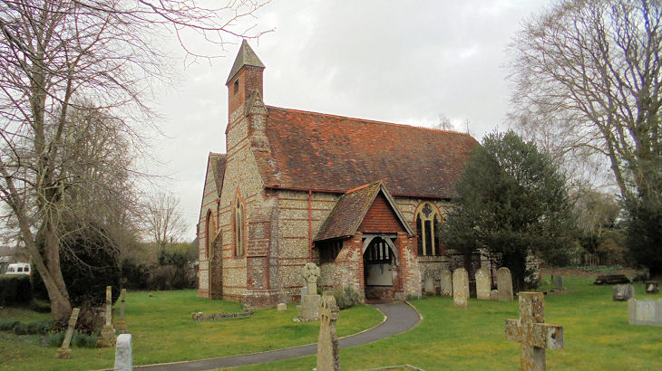
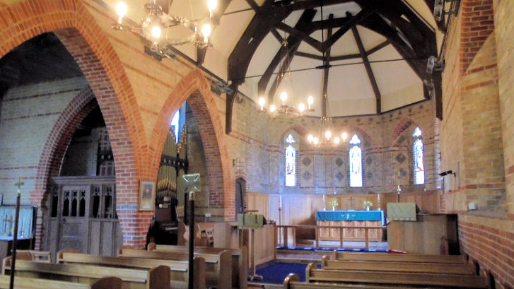
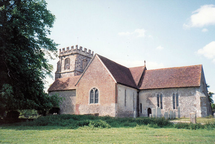
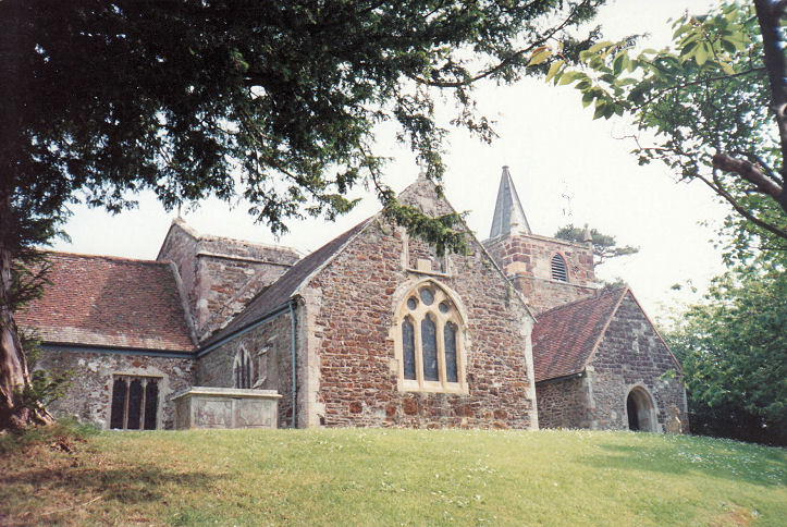
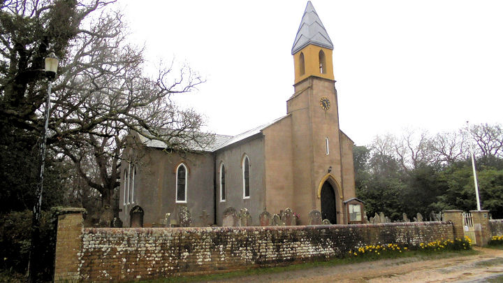
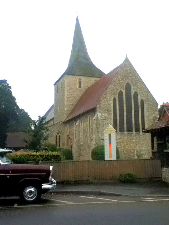
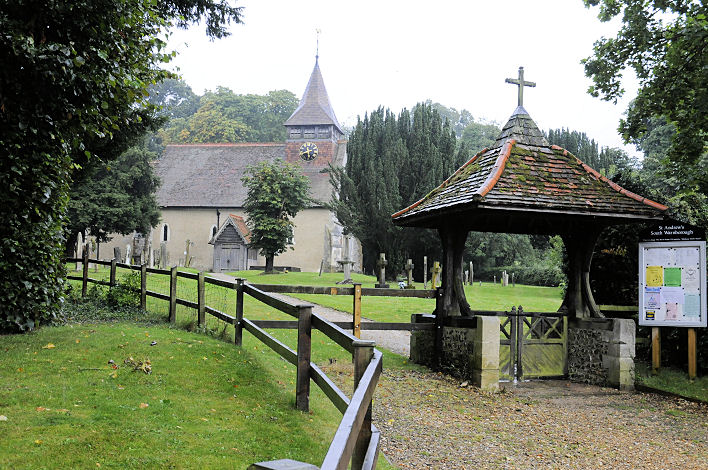
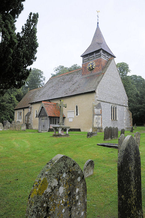
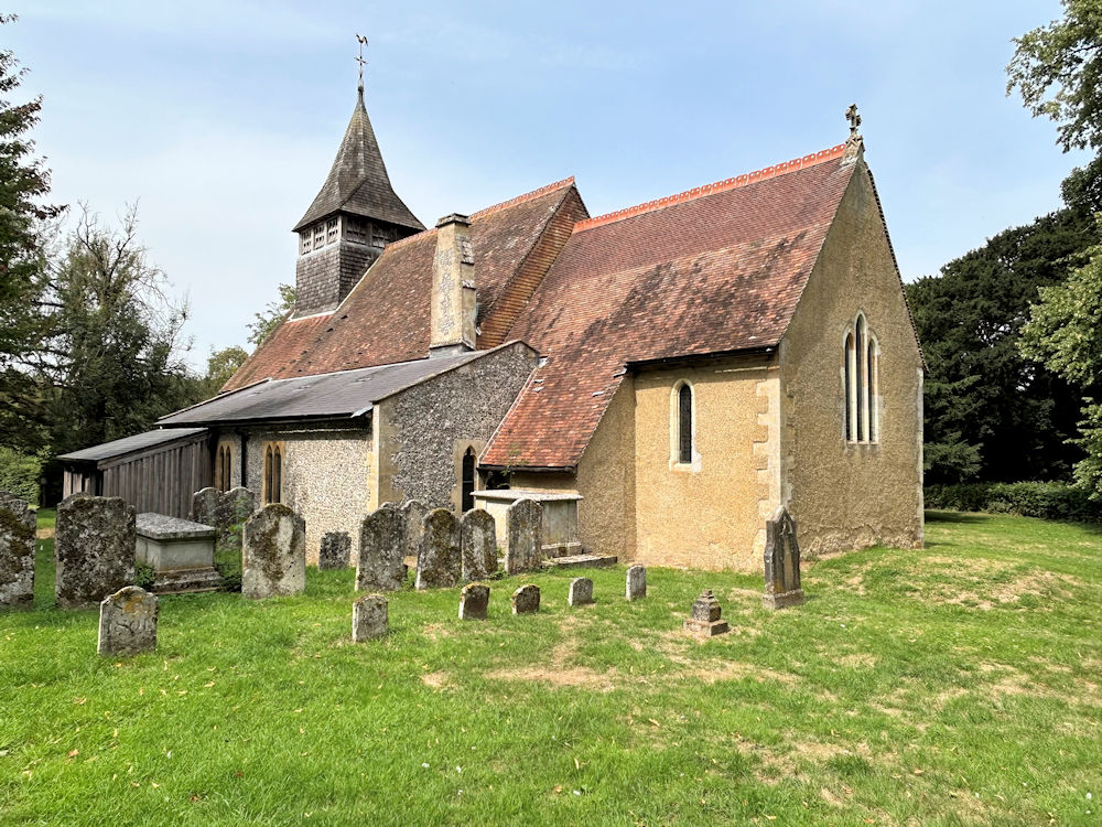
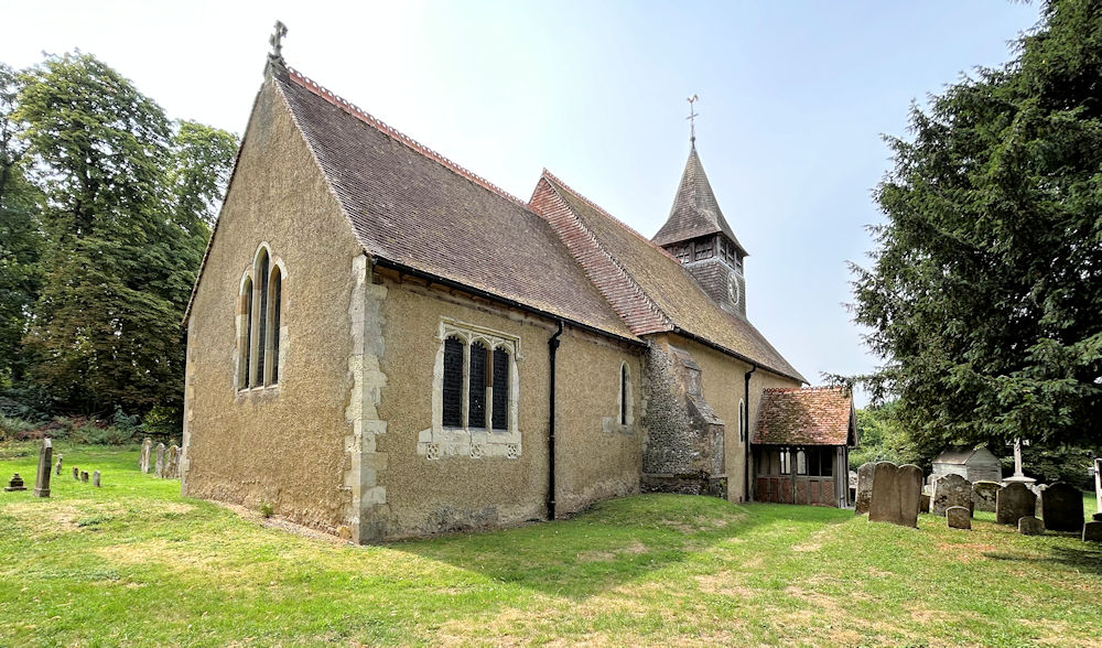
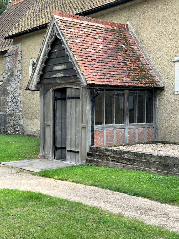
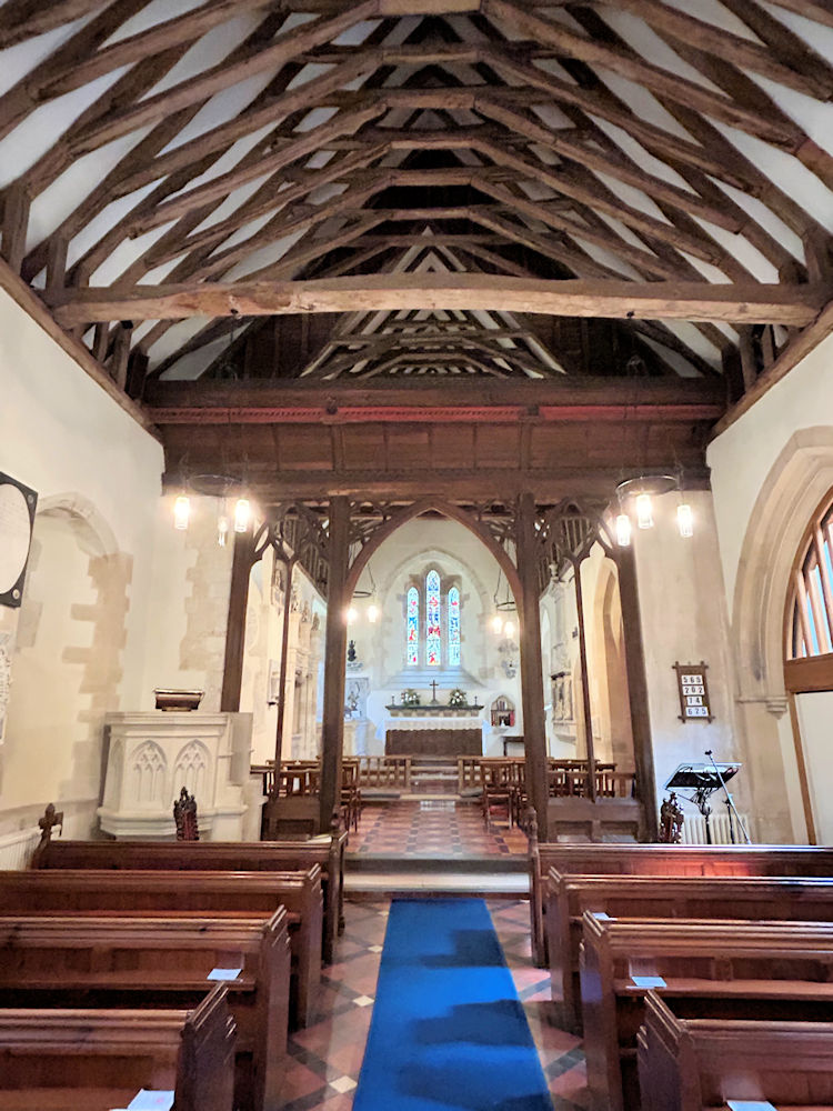
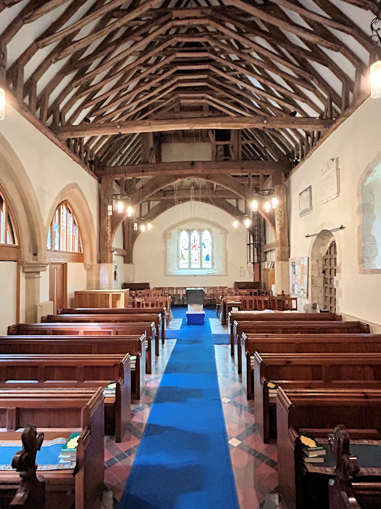
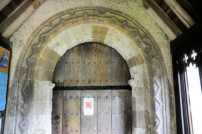
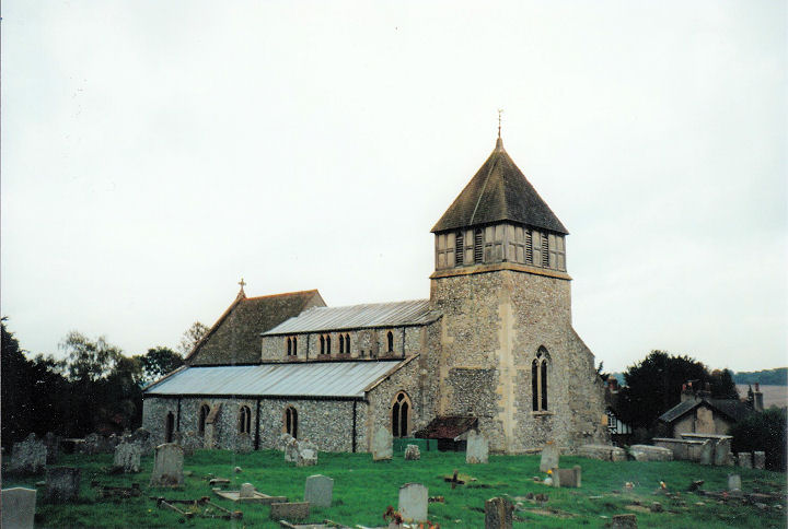
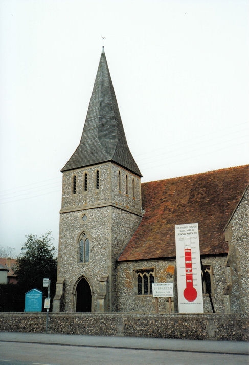
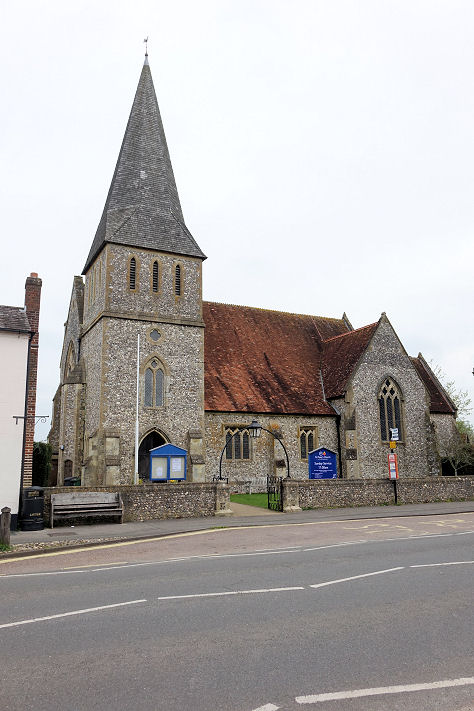
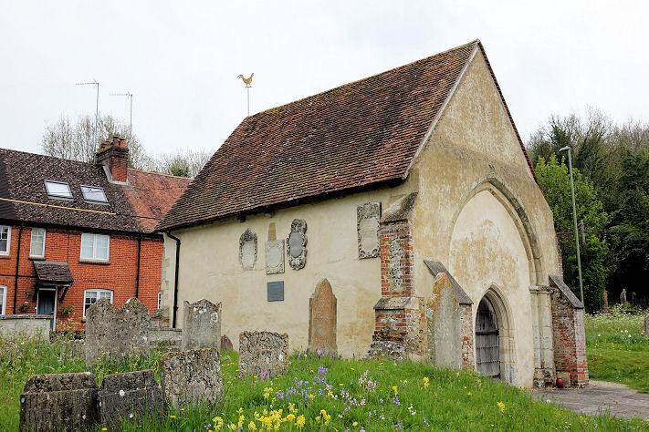
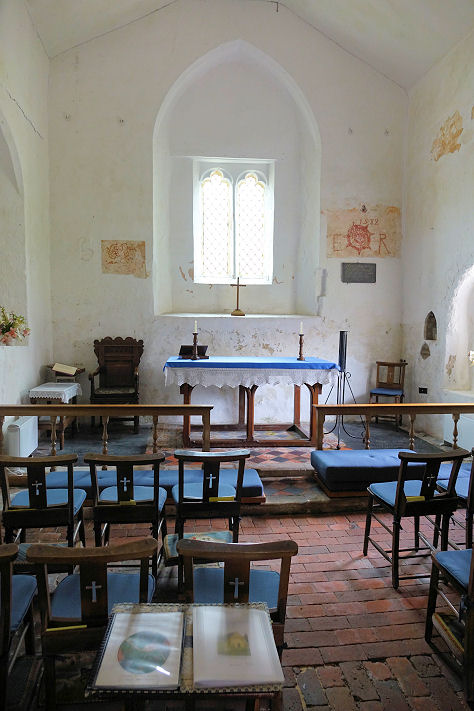
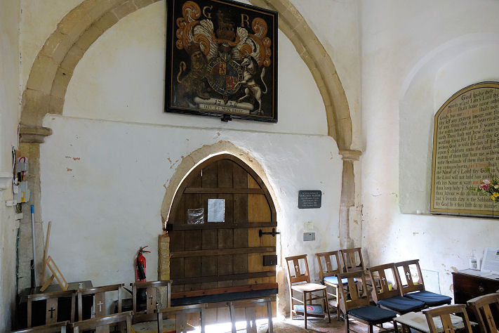
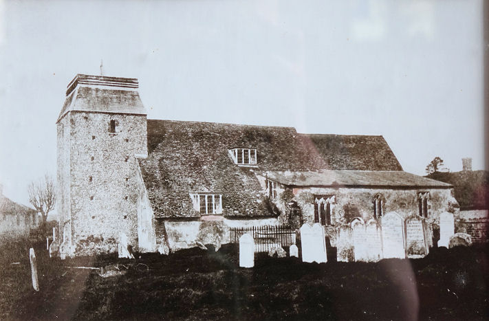
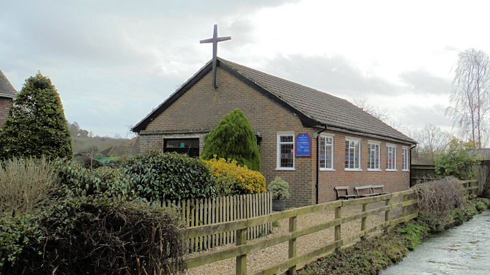
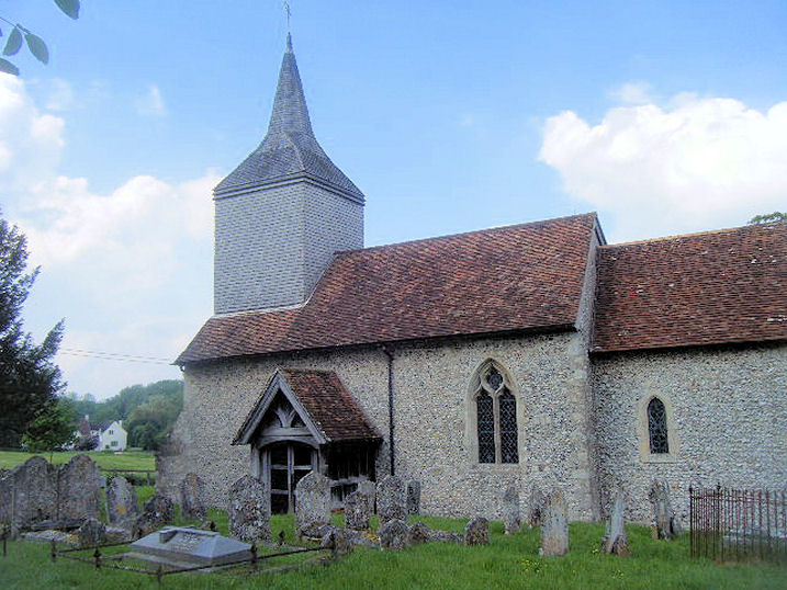
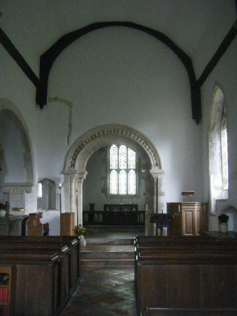
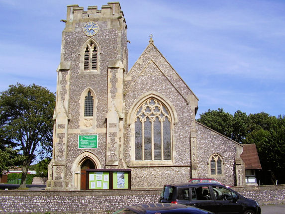
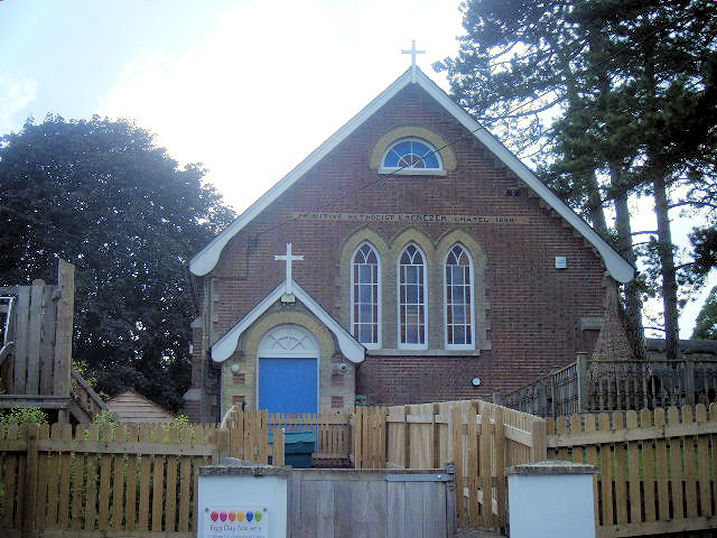
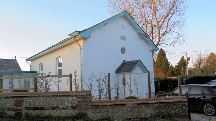
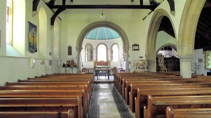
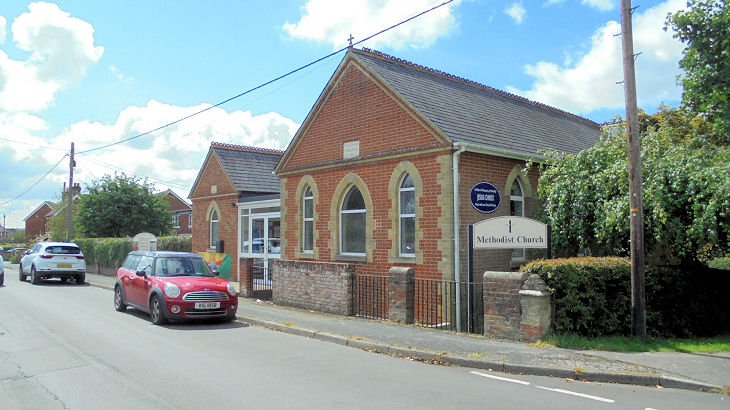
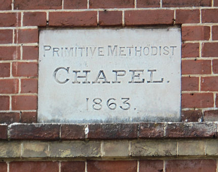
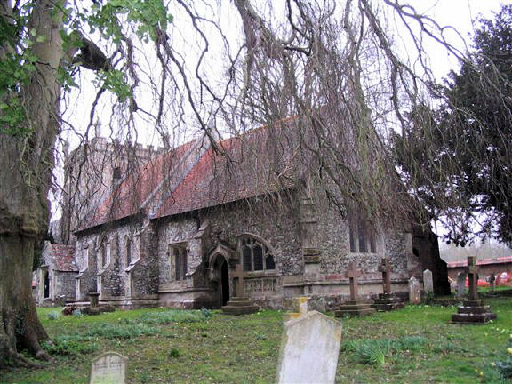
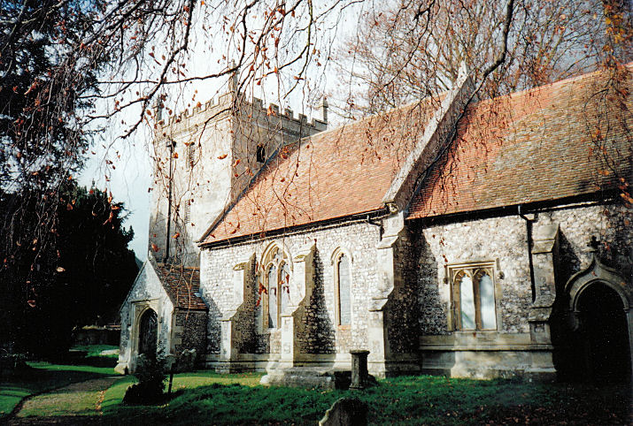
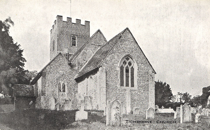
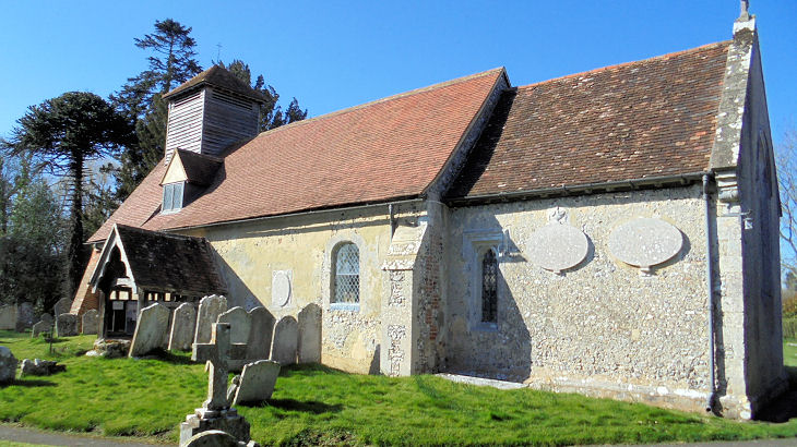
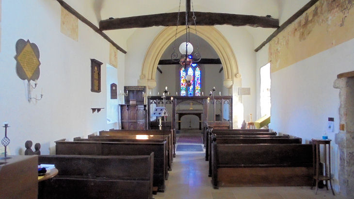
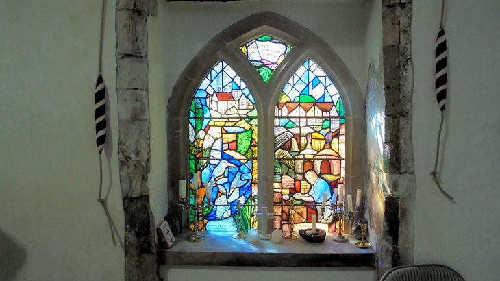
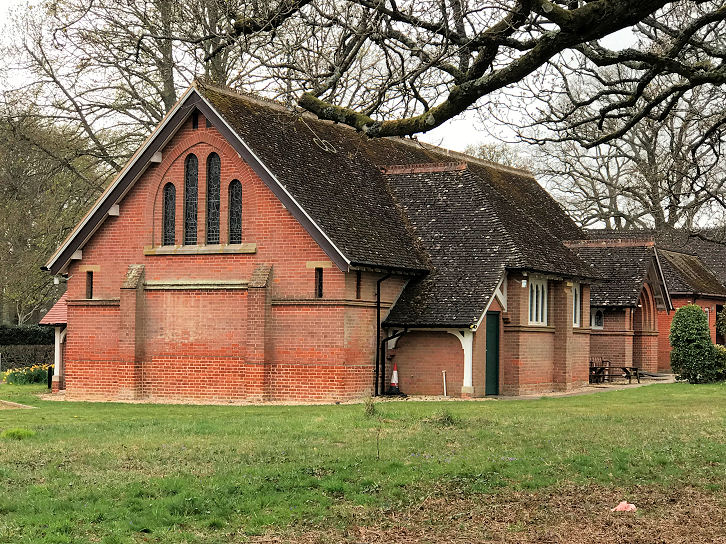
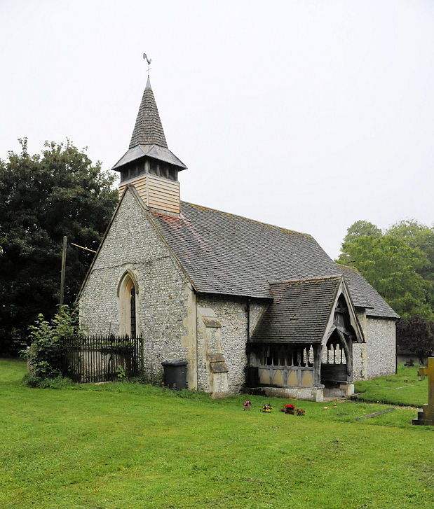
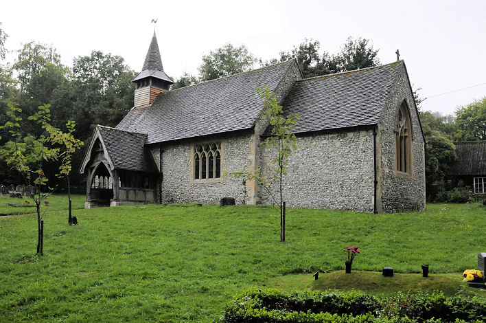
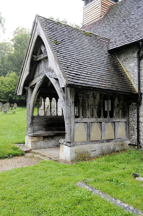
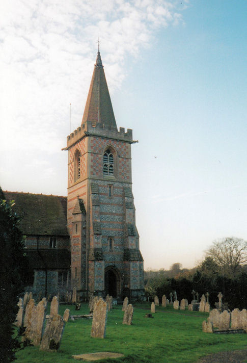
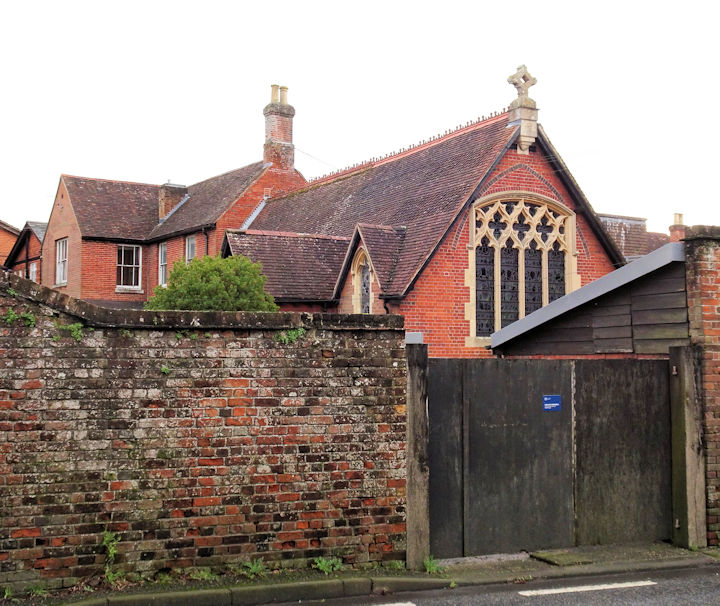
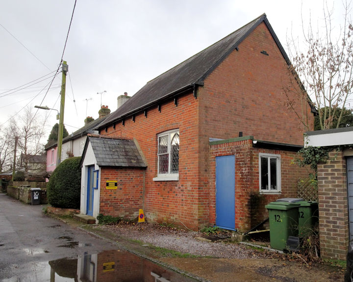
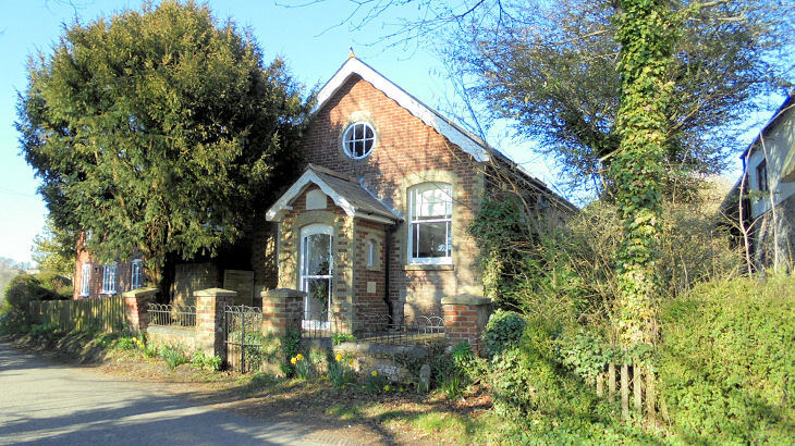
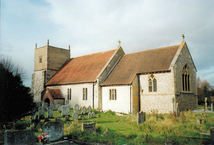
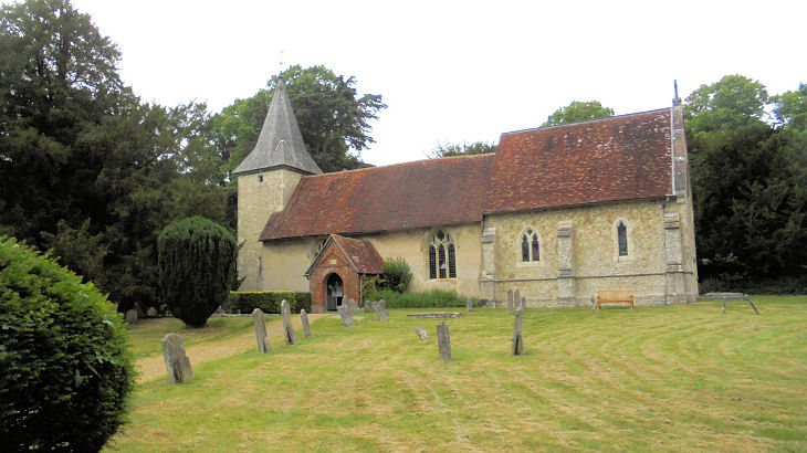
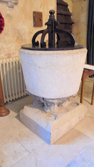
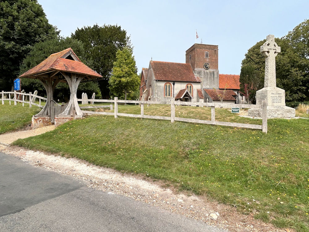
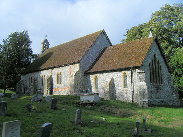
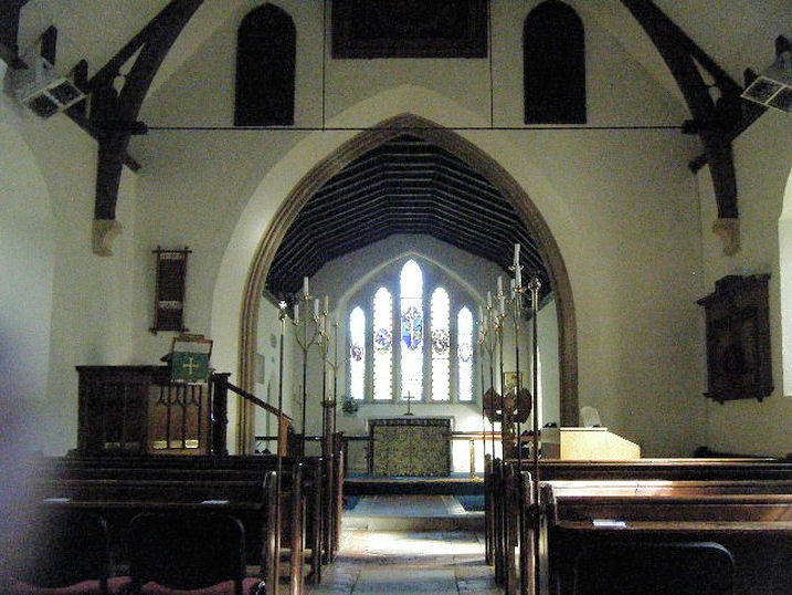
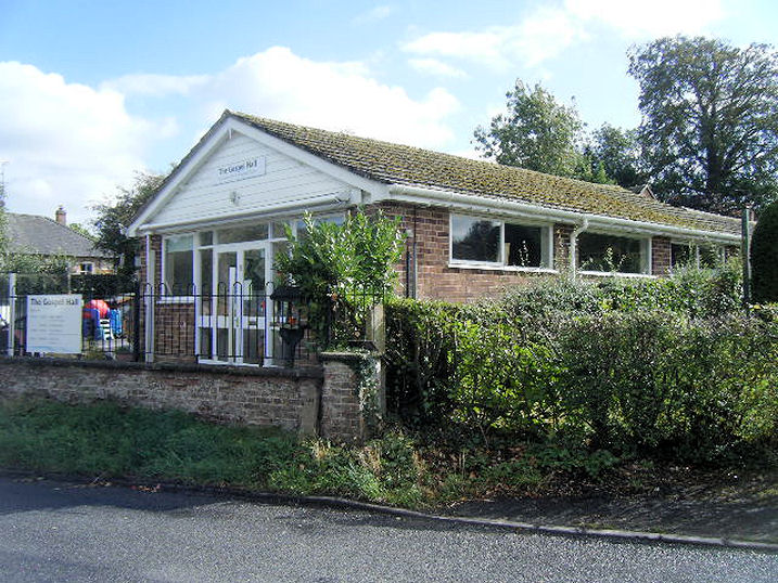
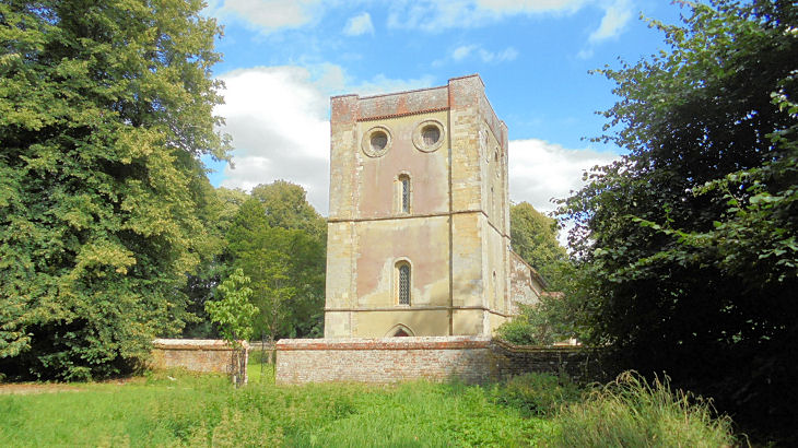
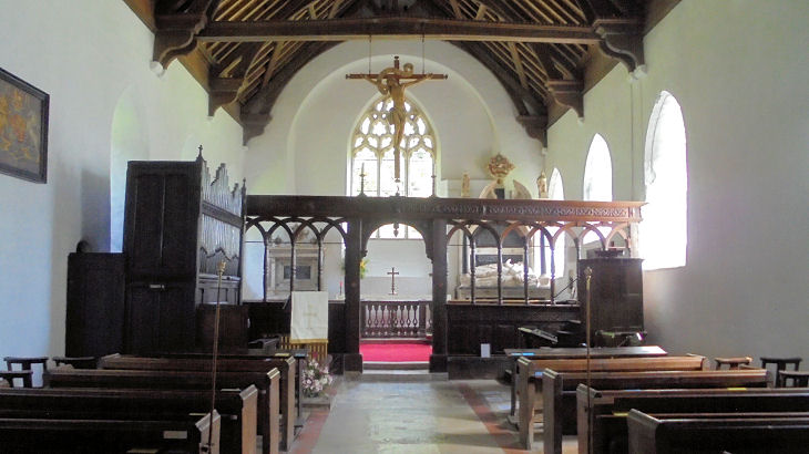
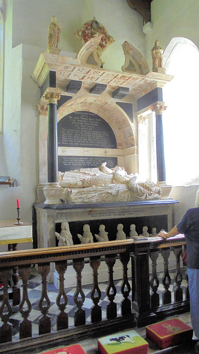
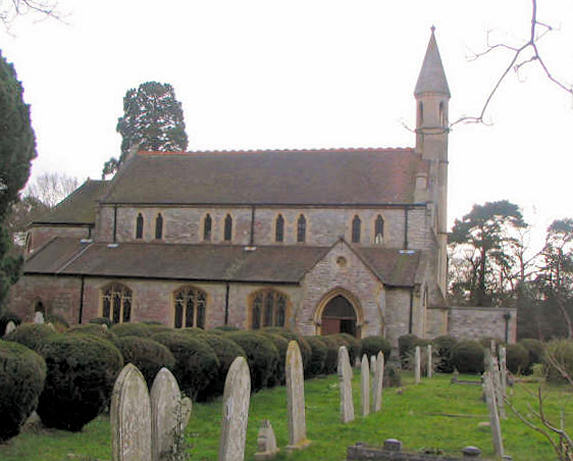
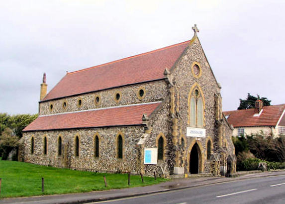
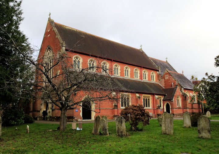
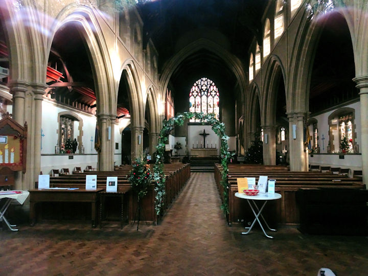
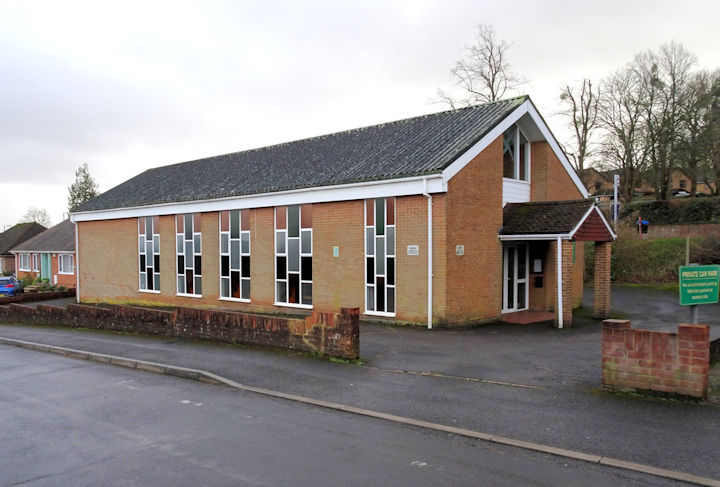
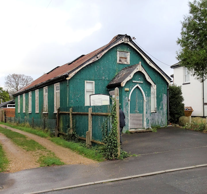
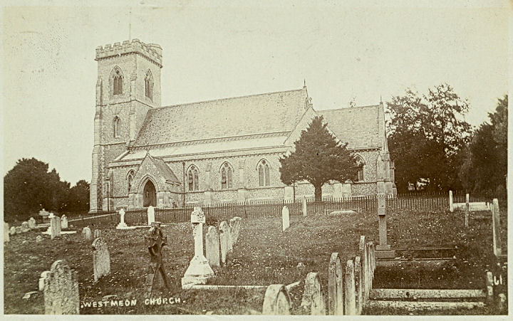
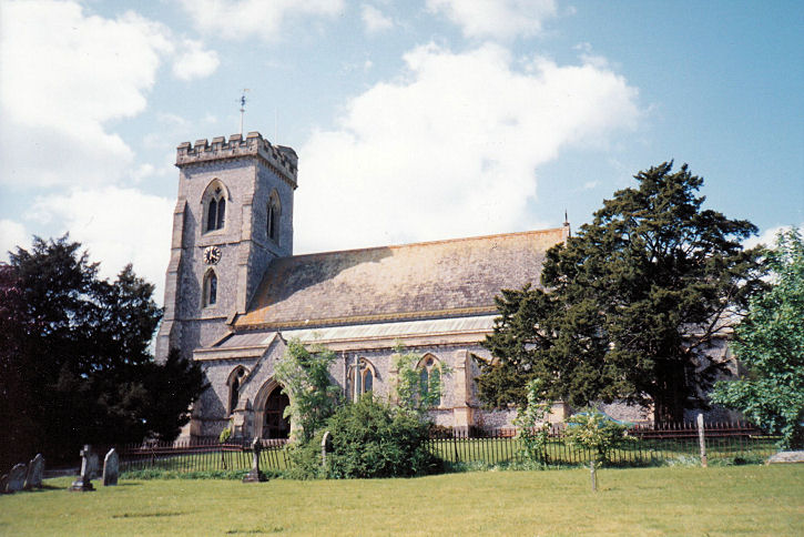
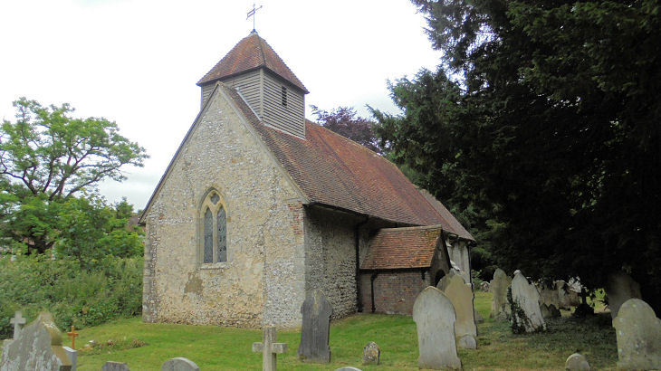
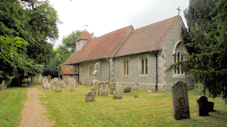
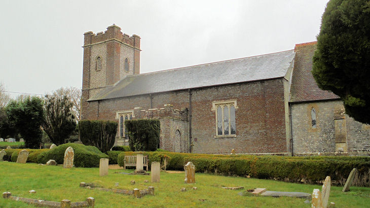
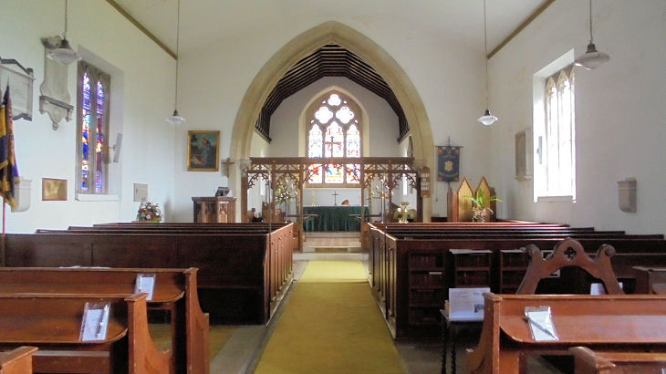
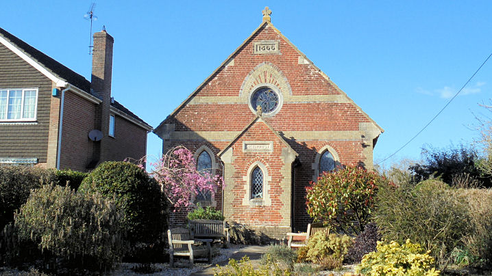
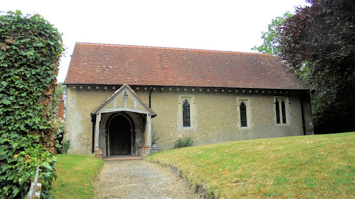
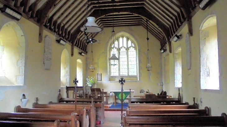
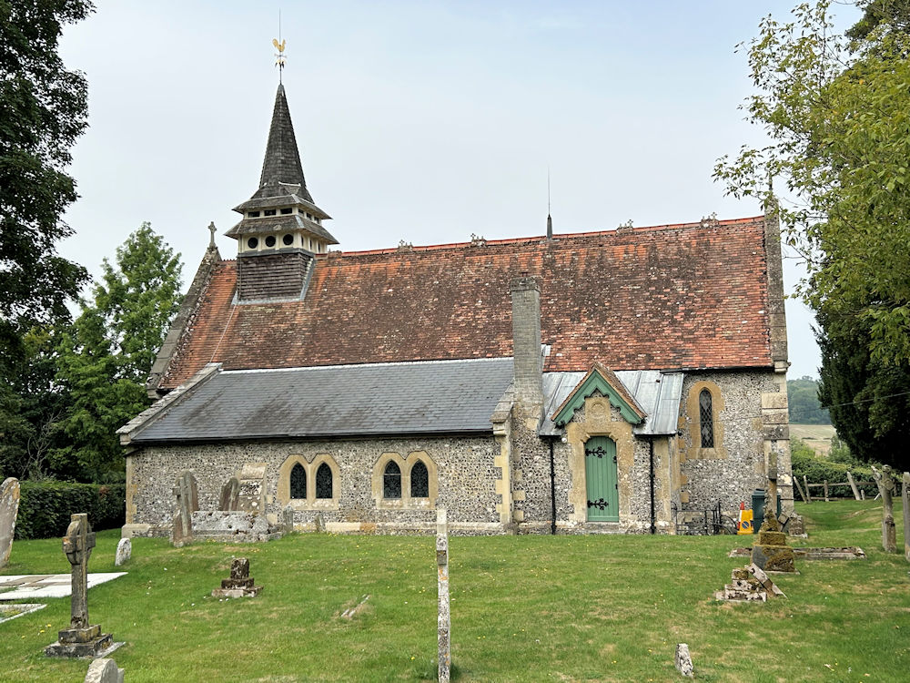
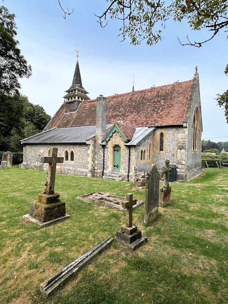
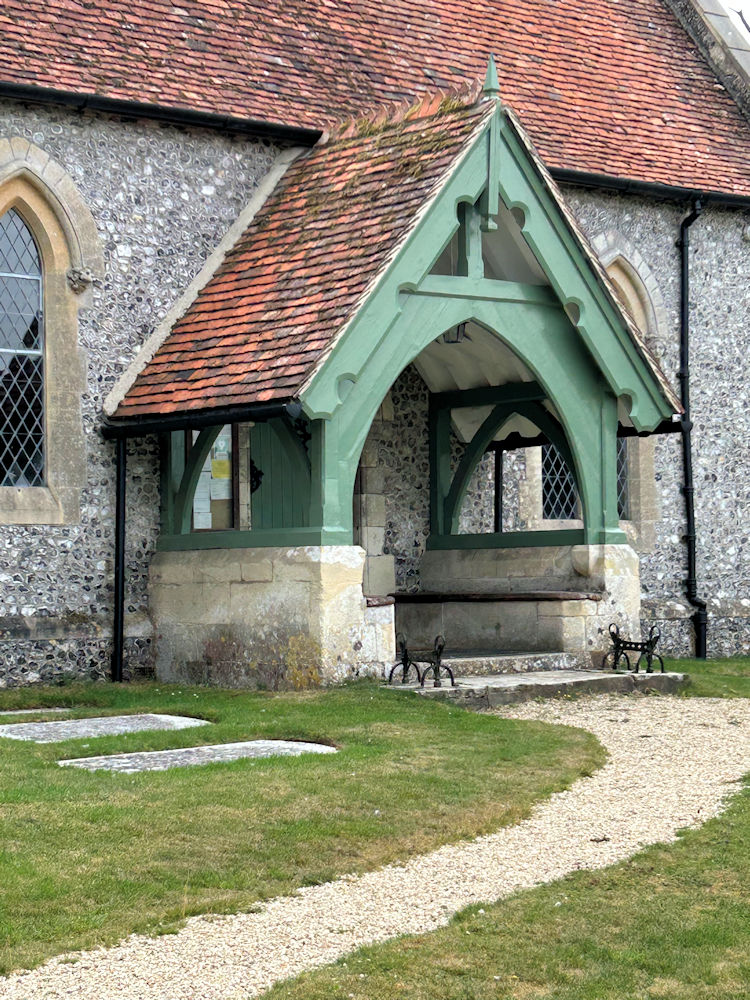
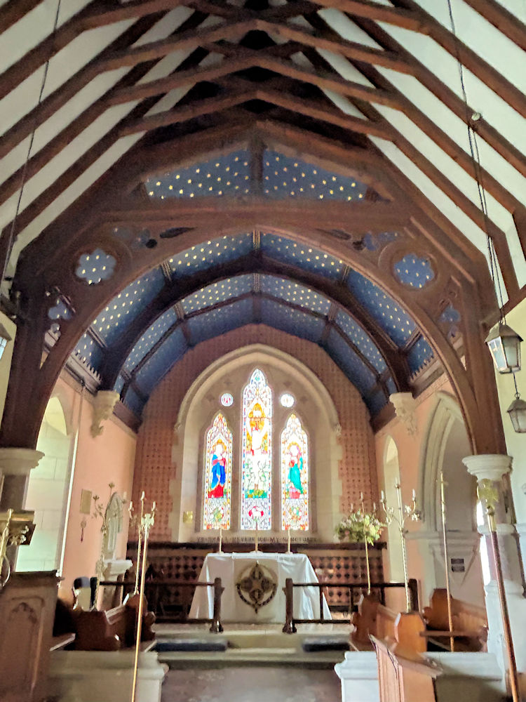
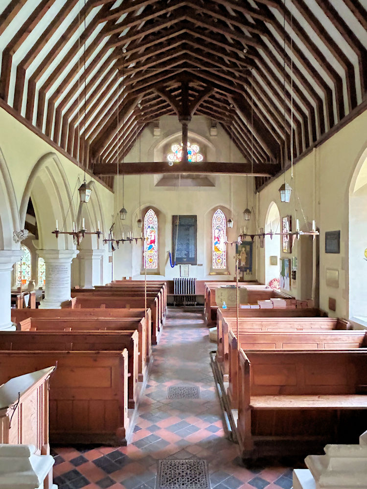
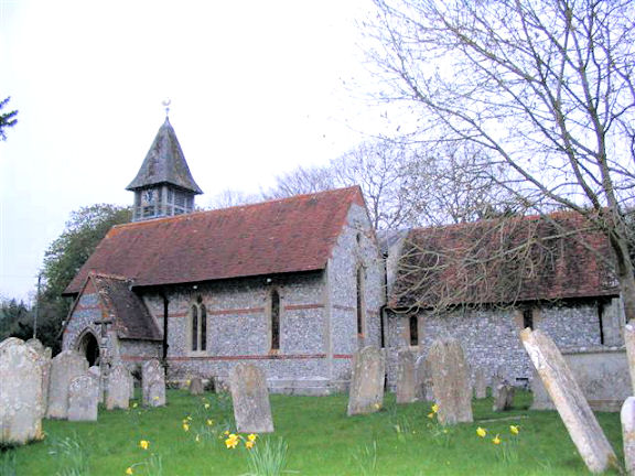
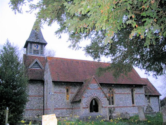
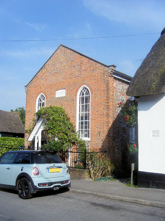
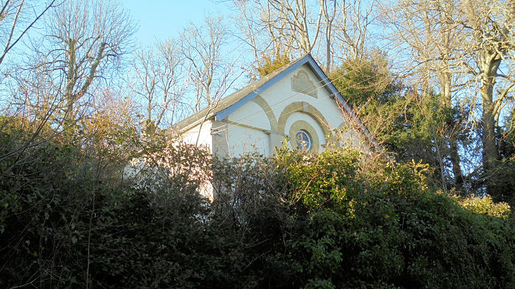
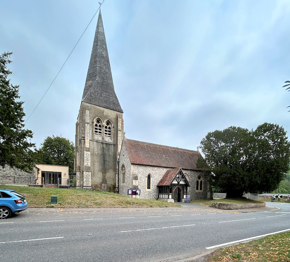
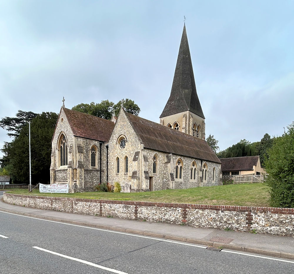
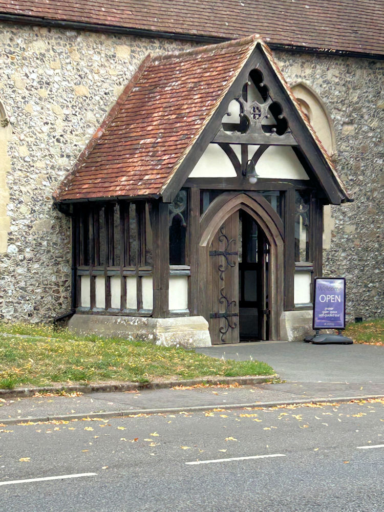
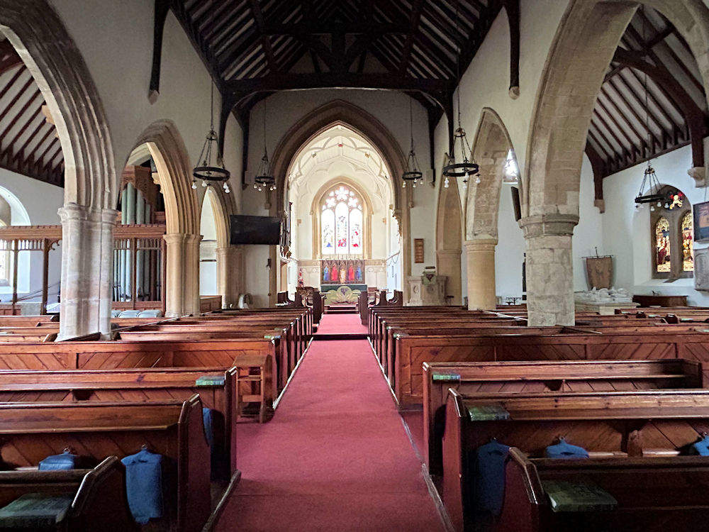
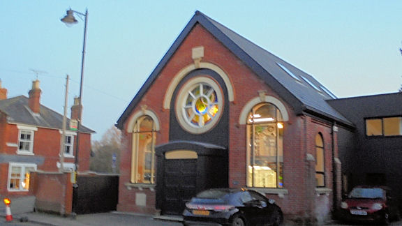
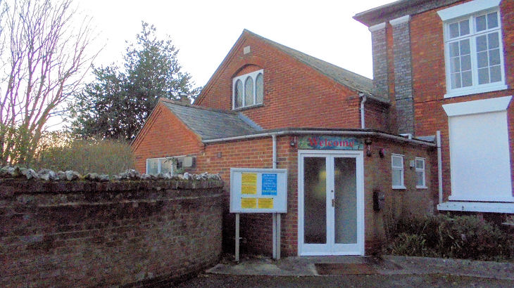
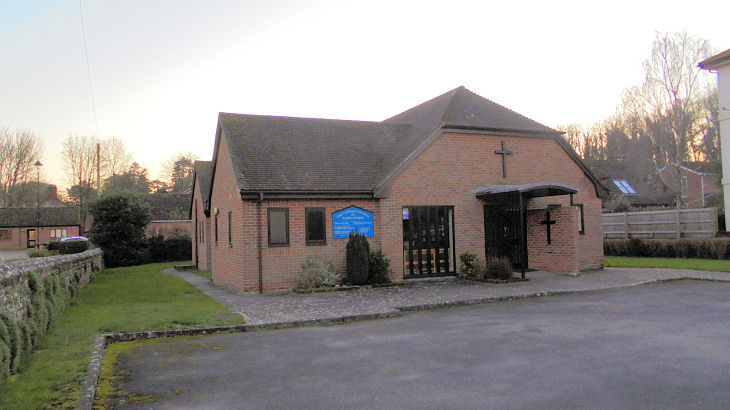
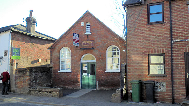
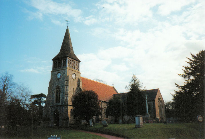
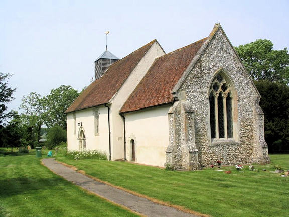
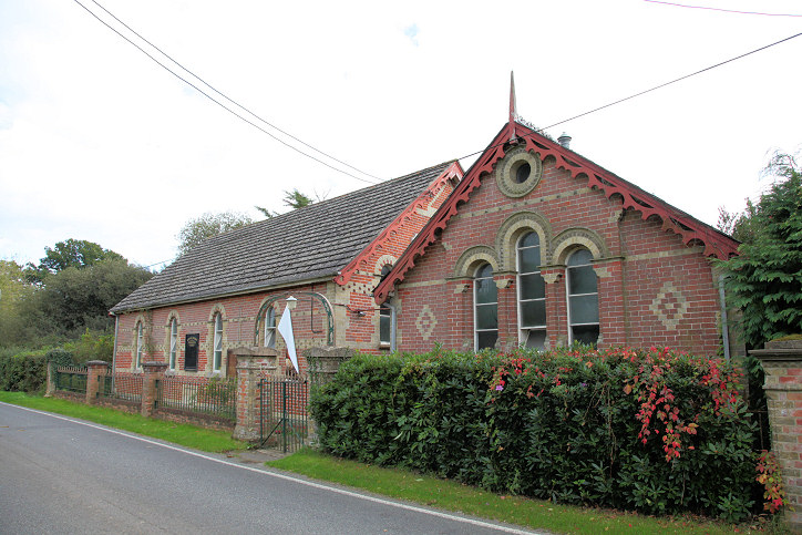
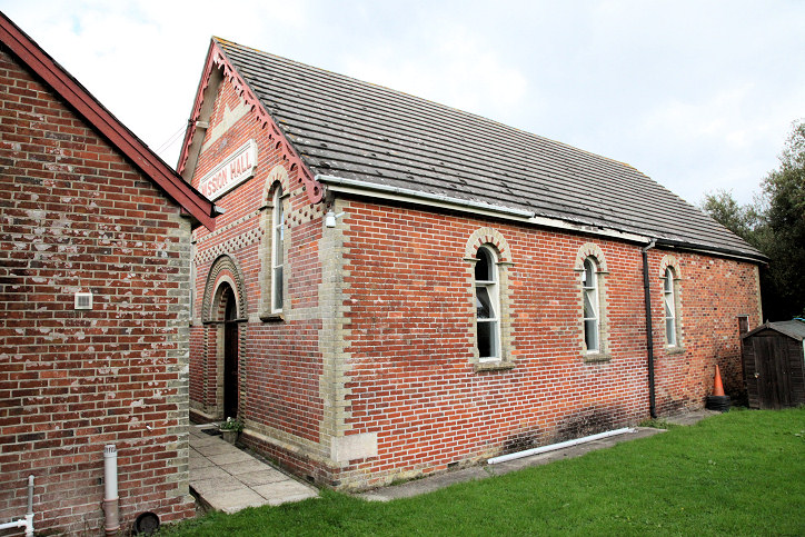
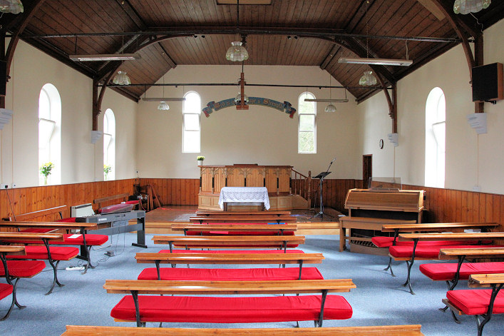
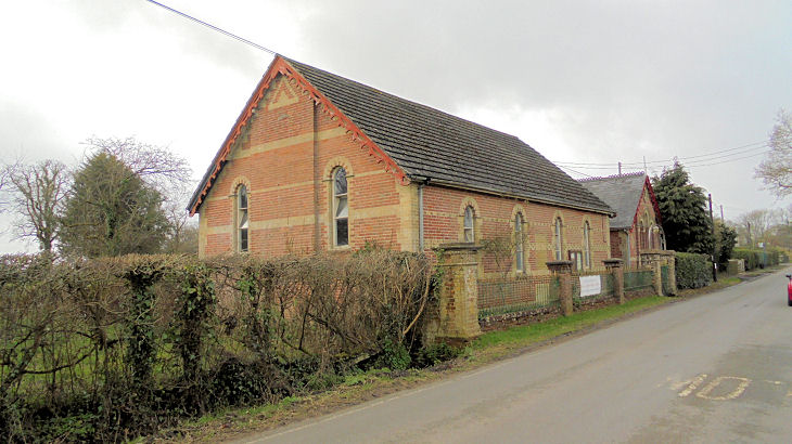
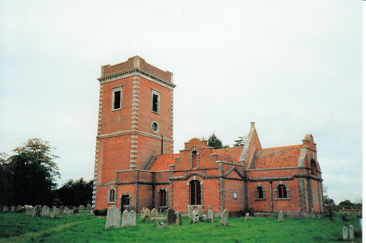
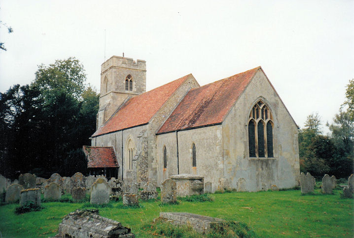
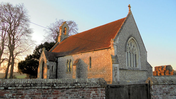
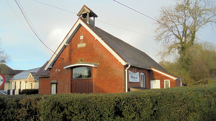
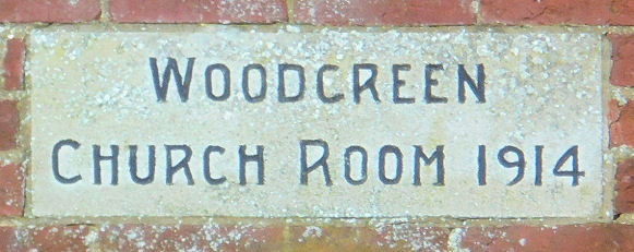
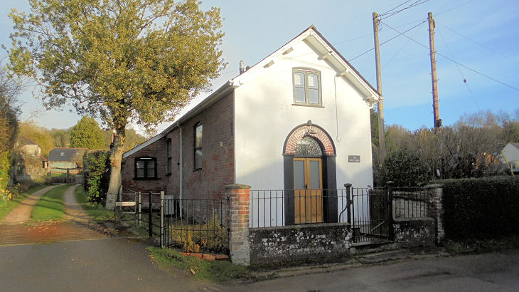
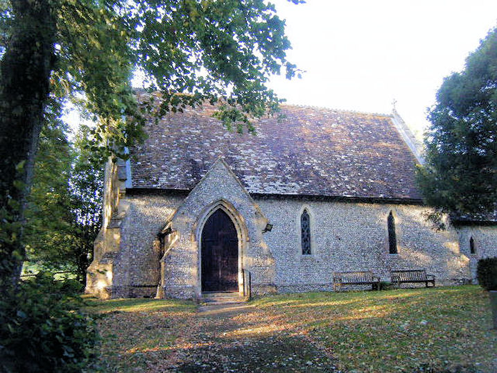
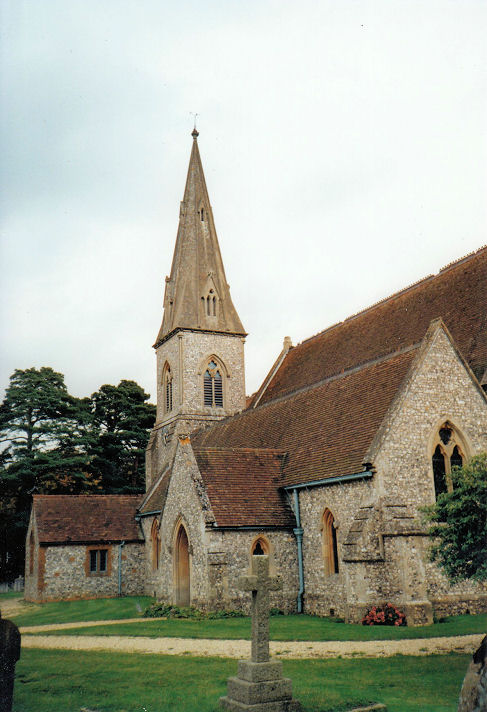
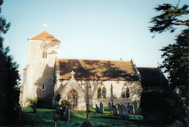
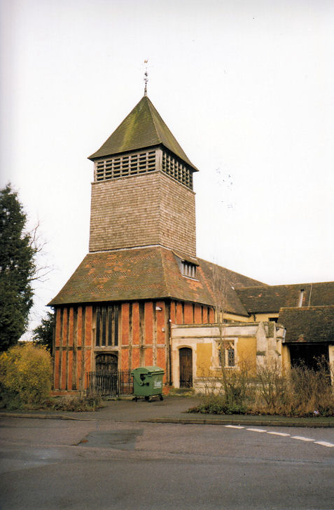