The Churches of Britain and Ireland
|
Hayling Island, Hampshire
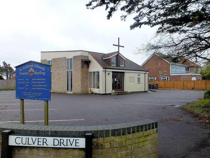
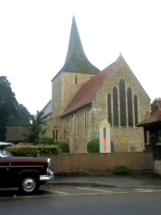
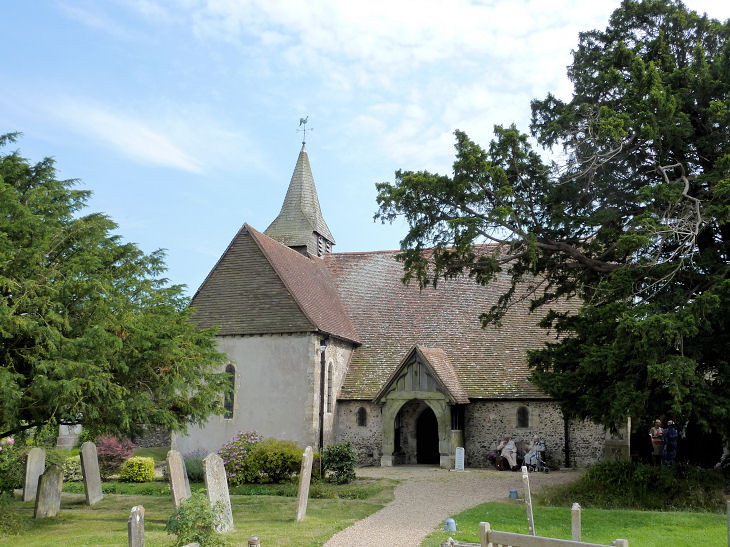
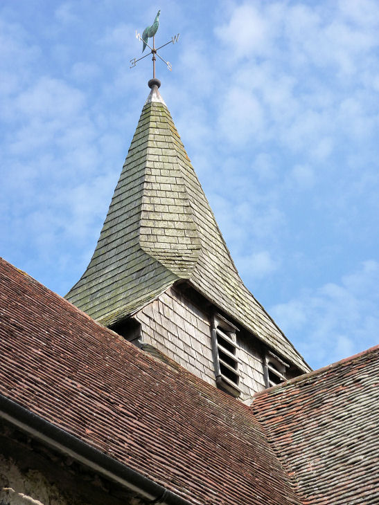
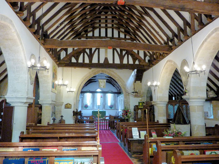
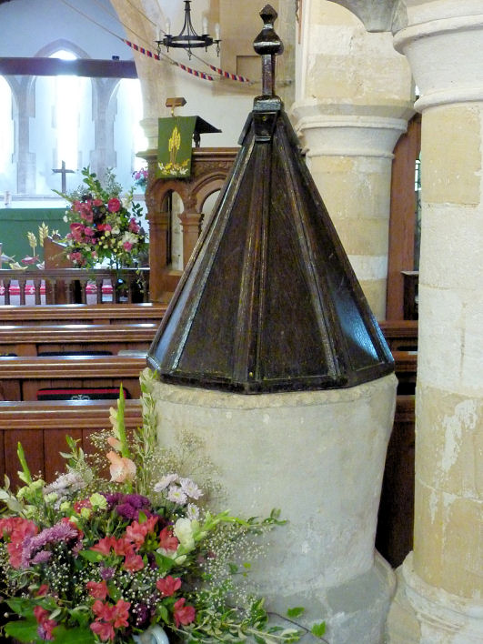
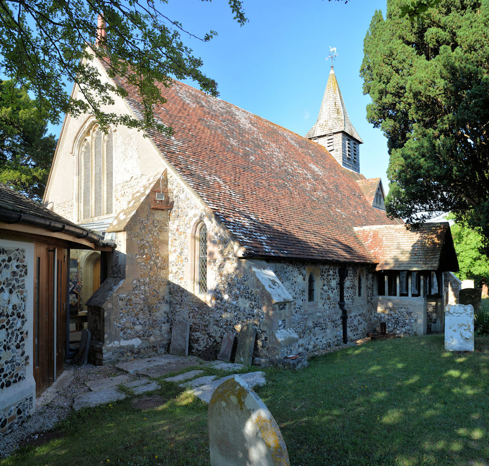
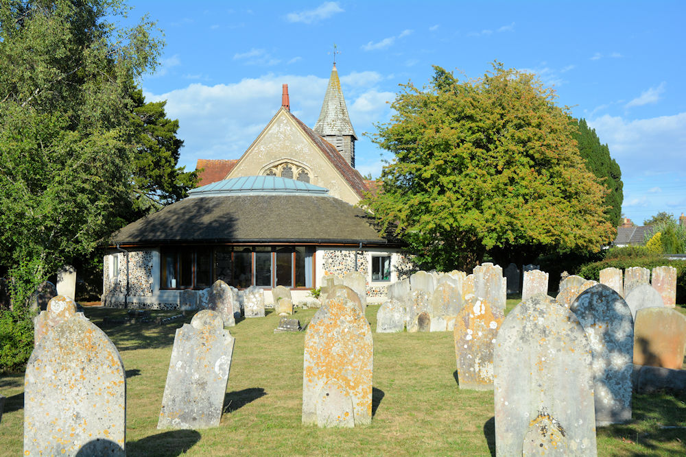
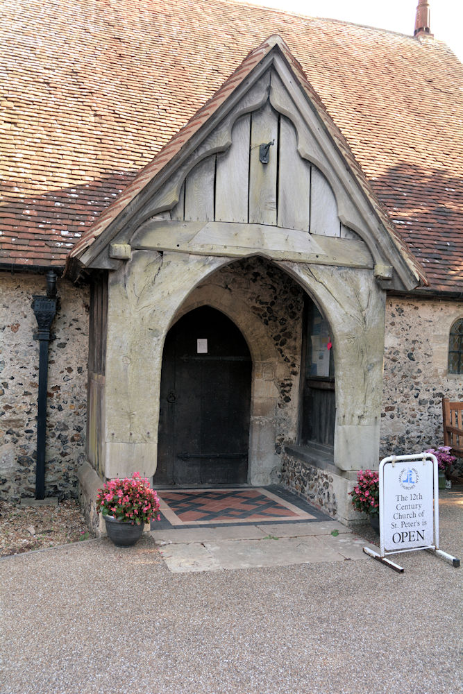
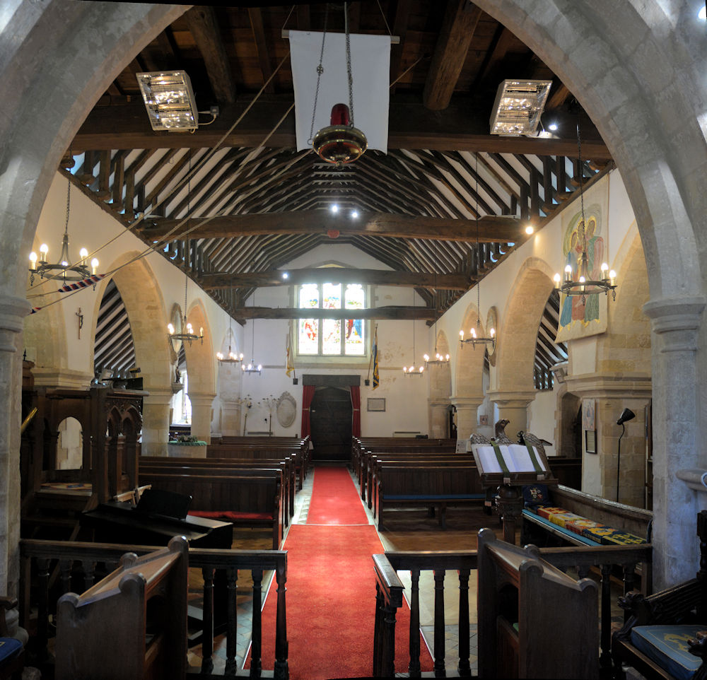
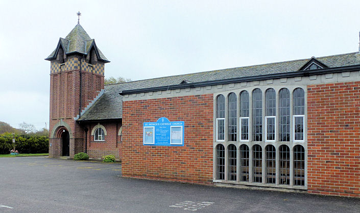
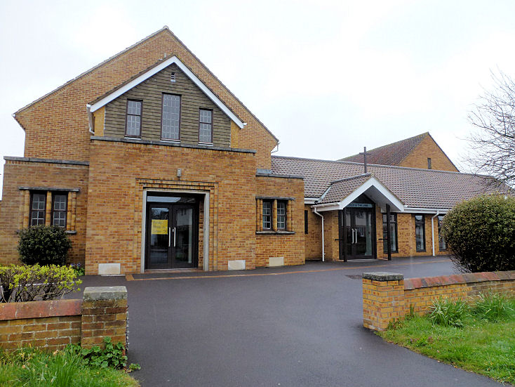
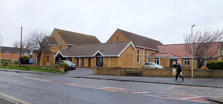
Hayling Island Baptist Church meets at the Hayling Island Community Centre (2011 Streetview) on an apparently un-named road off Station Road. SZ 7123 9945. Link. St. Andrew on Southwood Road and Culver Drive, Eastoke. SZ 7327 9852. © Janet Gimber (2016). Link - says the church was dedicated in 1964. St. Mary the Virgin at South Hayling. SU 7221 0005. © Paul E. Barnett (2015). Link. Grade II* listed. St. Peter on St. Peter's Road, at North Hayling, with its shingled broach spire. Interior view, and the font and cover. SU 7309 0320. All © Christopher Skottowe (2014). Two more views - 1, 2, the porch, and another of the interior, all © Karel Kuča (2025). Link. Grade I listed. St. Patrick (R.C.) on Manor Road. SU 7184 0047. © Janet Gimber (2016). Link. South Hayling U.R.C. on Elmgrove and Hollow Lane, South Hayling. It stands on the site of a Congregational Church, pre-dating a map of 1871, where it's labelled as Independent. The About Us page on the church website advises that the old chapel was built in 1830, badly damaged by bombing in 1941, a tin tabernacle used from then until 1954 when the present church was opened. Another view. Both © Janet Gimber (2016). Link. The Bridge Church (2023 Streetview) stands at the junction of Manor Road and Station Road. SZ 7144 9945. Link.
|
||
27 January 2026
© Steve Bulman
Contact Details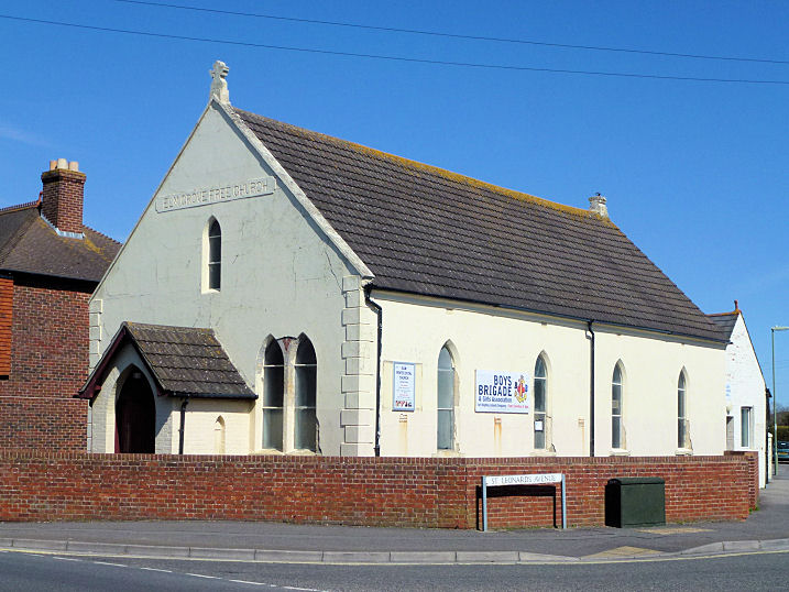