The Churches of Britain and Ireland
|
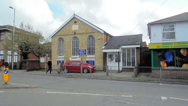
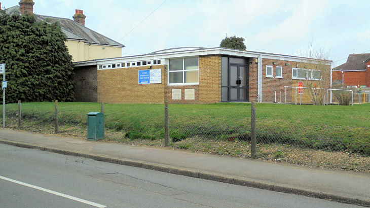
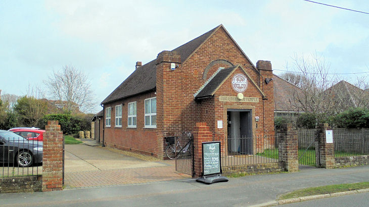
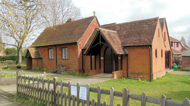
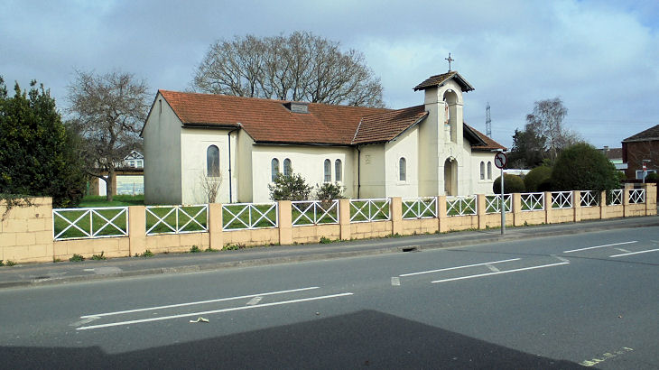
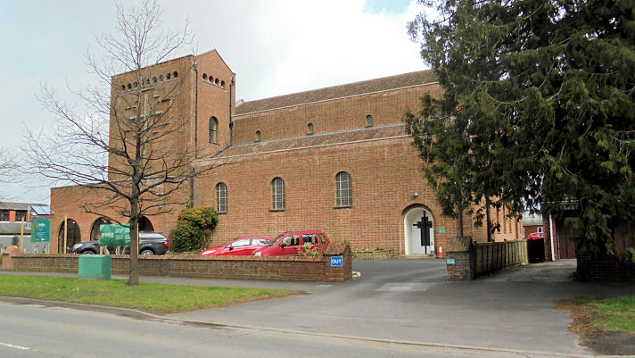
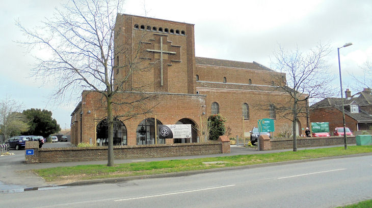
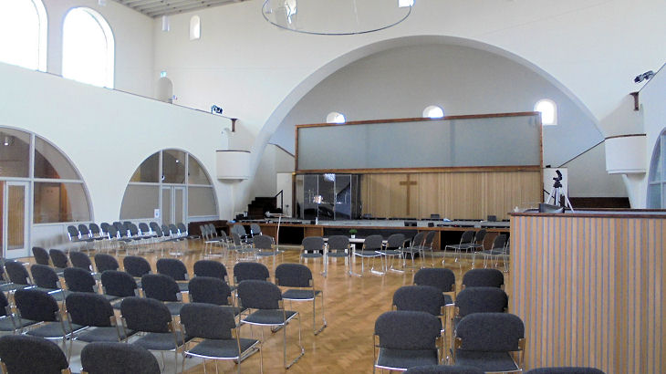
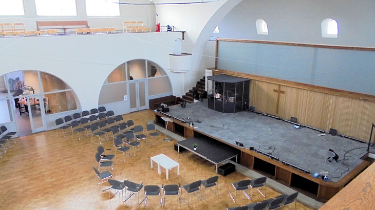
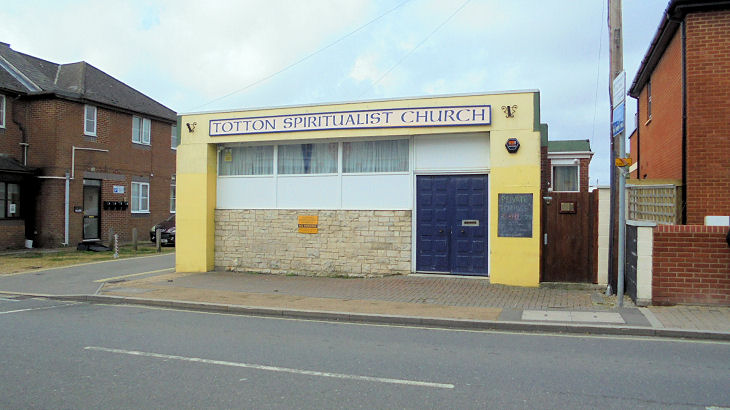
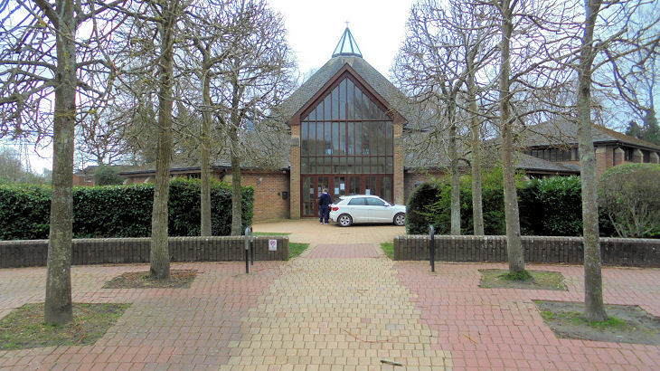
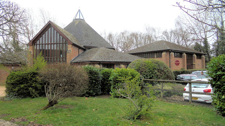
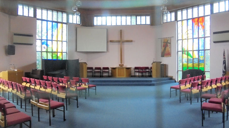
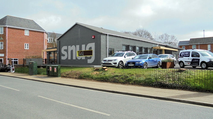
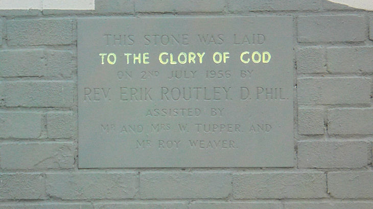
Totton, Hampshire The Baptist Church on Salisbury Road, Testwood. SU 3501 1457. © Chris Kippin (2023). Link. Christian Centre on Ringwood Road is a former Primitive Methodist Chapel. It has a date-stone for 1855, and has been Christian Centre since at least 1997 (source). SU 3600 1334. © Chris Kippin (2023). Link. Evangelical Free Church on Ringwood Road. SU 3560 1323. © Chris Kippin (2023). Link. The former The Ebenezer Temple on Hammond's Green is now a cafe. It post-dates a map of 1897. Its antecedents are so far obscure. SU 3493 1372. © Chris Kippin (2023). Kings Community Church meets in Hounsdown School (2012 Streetview) on Jacob's Gutter Lane. SU 358 118. Link. St. Anne on Calmore Road, Calmore, is marked on older maps as Mission Hall. I haven't been able to find an exact building date, but this news item from 2014 describes it as being 150 years old at that time. SU 3394 1484. © Chris Kippin (2023). Link. St. Theresa and the Child Jesus (R.C.) on Beaumont Road. SU 3624 1339. © Chris Kippin (2023). Link. St. Winfrid on Salisbury Road, Testwood. Its grade II listing dates it to 1937. Another view, and two of the interior - 1, 2. SU 3563 1381. All © Chris Kippin (2023). Link. A Spiritualist Church stands on Rumbridge Street. SU 3626 1307. © Chris Kippin (2023). Link. Trinity Church (Methodist and U.R.C.) on Hazel Farm Road, West Totton. Another view, and the interior. SU 3424 1309. All © Chris Kippin (2023). Link. A place of worship is marked on the 1" O.S. map of 1961 on Rumbridge Street at SU 3612 1293. It's unclear whether the building as seen in 2023 is the former church, or a replacement, but a foundation stone from it survives, dating it to 1956. Unfortunately the stone doesn't say what denomination the church was. However, assuming the Erik Routley mentioned on the stone is the Erik Routley famous as a composer of hymns (Wikipedia), then the church is likely to have been Congregational, or perhaps U.R.C. Both © Chris Kippin (2023). Streetmap shows a PW (place of worship) just south of the A35 on a road which Streetview calls Eling Wharf, at circa SU 364 131. What is it (or was it)?
|
||
13 April 2023
© Steve Bulman
Contact Details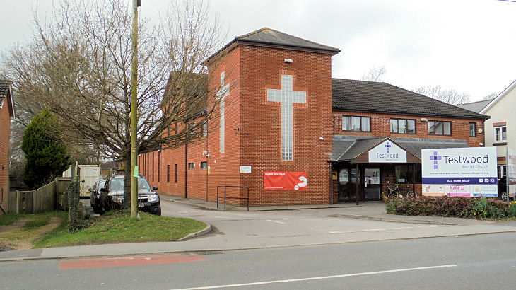