The Churches of Britain and Ireland
| Hedge End, Hampshire
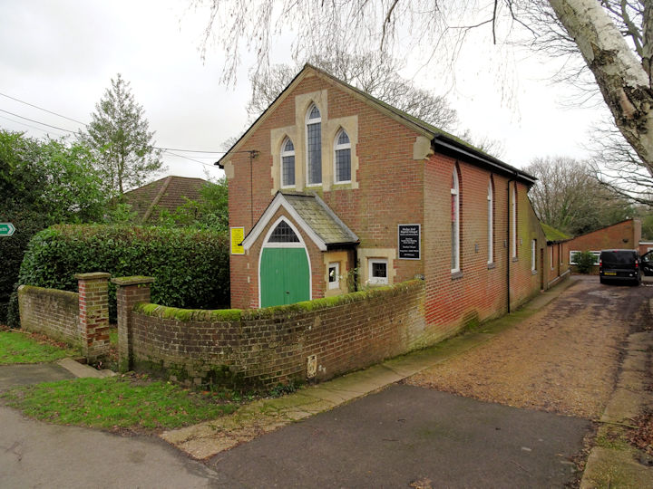
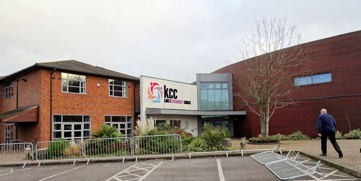
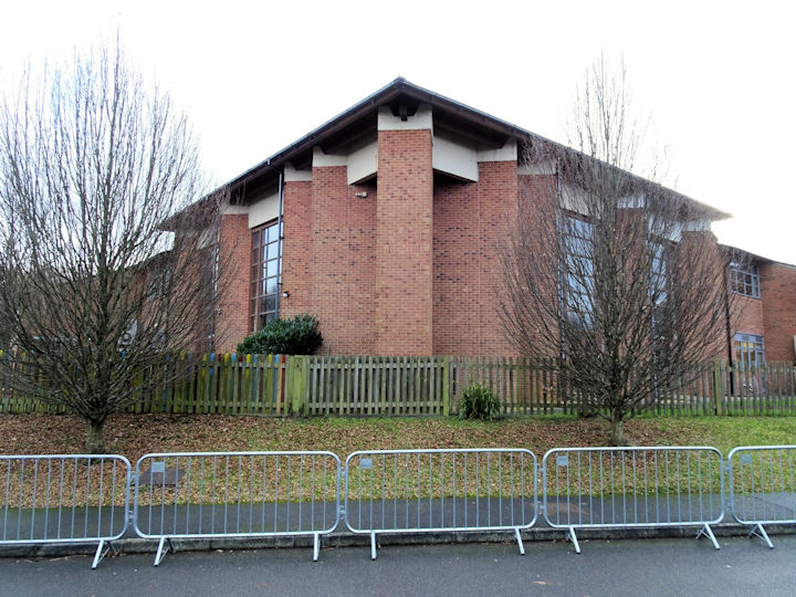
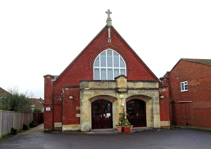
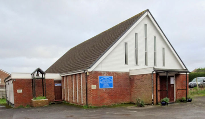
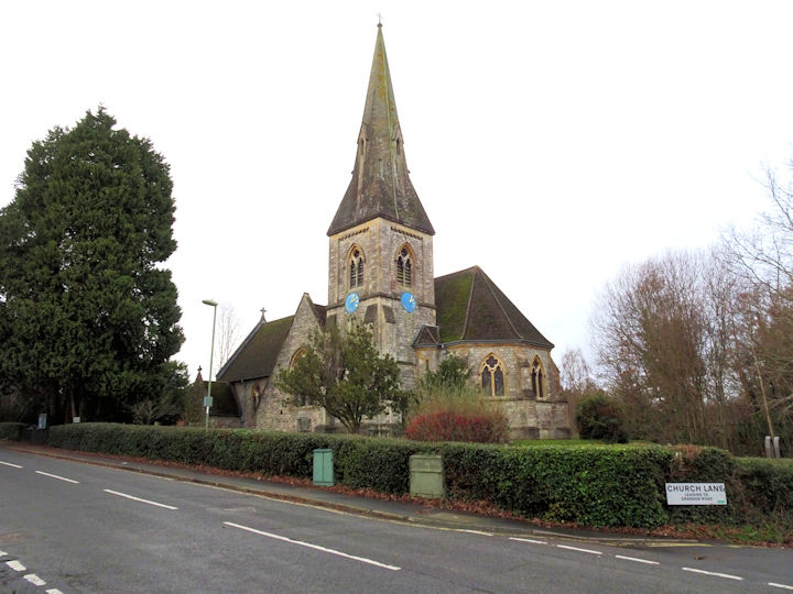
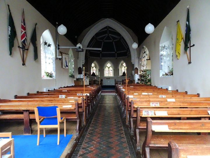
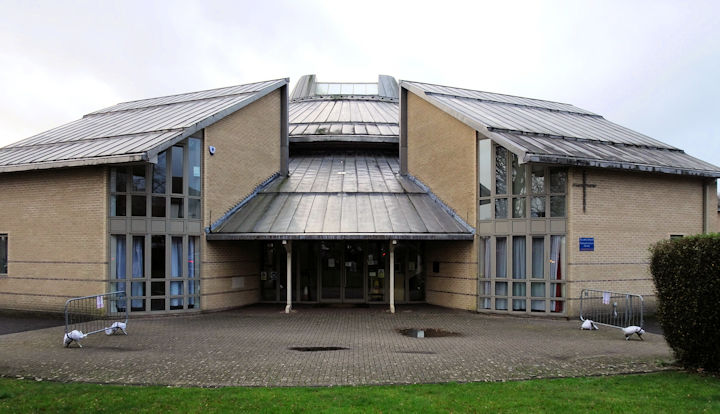
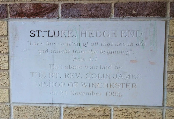
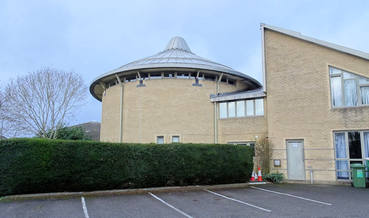
The Baptist Chapel (Strict and Particular) is on Upper Northam Road. On a map of 1871 it's labelled as Baptist Chapel (Particular). SU 4862 1269. © Chris Kippin (2023). Link. The history page dates it to 1914, on the site of a predecessor of 1810. A downloadable history available on that page has a photo of the earlier chapel. A Bible Christian Chapel is shown on the 25" O.S. map of 1896 on St. John's Road at SU 4896 1274. It may be the same building as is labelled as R.C. Chapel on a map of 1871. Demolished, its site (2023 Streetview) remains un-developed. King’s Community Church on Upper Northam Road. Another view. SU 4820 1276. Both © Chris Kippin (2023). Link. The Methodist Church on St. John's Road is labelled on a map of 1910 as United Methodist. SU 4882 1260. © Chris Kippin (2023). Link. Our Lady of the Assumption (R.C.) on Freegrounds Road. SU 4908 1279. © Chris Kippin (2023). Link. St. John the Evangelist, and its interior. Its grade II listing dates it to 1874. SU 4865 1238. Both © Chris Kippin (2023). Link. St. Luke on Shamblehurst Lane South. It has a date-stone for 1993. Another view. SU 4911 1424. Both © Chris Kippin (2023). Link. U.R.C. on St. John's Road, at SU 4900 1279. © Chris Kippin (2023). Link. Salvation Army Church and Community Centre (2023 Streetview) on White's Way. SU 4886 1464. Link. The 25" O.S. map of 1909 shows a Salvation Army Barracks on Bursledon Road at SU 4896 1253. The house on the site was seen by Streetview in 2023.
|
||
22 January 2024
© Steve Bulman