|
|
County Durham
County Durham on Wikipedia.
Annfield Plain.
Aycliffe, St. Andrew. NZ 2830 2216. © Bill Henderson.
Another view, an unusual
heart-shaped memorial in
the graveyard (there is another), two of the interior -
1,
2, the two Saxon
cross-shafts - 1,
2, and the early
font, all
© Chris Stafford (2015).
Link.
Grade I listed. The churchyard has additional listed features - a tomb, a
headstone, and the war memorial - these can be seen
here. The 25" O.S. map of 1897 shows two chapels, unhelpfully not
identified beyond that. One stood on East Row, on the east side of the
village green, at NZ 2853 2249. Evidently demolished, modern housing now
stands on the site, as seen
here in a 2016
Streetview. This
source
identifies it as Primitive Methodist, and it also has an interior photo.
The other chapel stands
(or stood) on The Wynd, at NZ 2840 2240. The first visit from the Streetview van
was in 2023, and shows the
house built on
the site. Howard Richter has pointed me to a directory
of 1879, wherein it says The Wesleyans and Primitive Methodists have places of worship, so
it's reasonable to assume that the chapel on The Wynd was Wesleyan. He
has also advised of this
source
which mentions that in 1829 the local Wesleyan congregation had a barn
"furnished to accommodate 40 people and later became a chapel for 200
worshippers". Can you advise if it survives, contribute a photo, or
even say where it was?
Baldersdale,
the former Wesleyan Methodist Chapel, dating from 1861. It shows on mid-20th
century maps to have still been active at that time presumably as Methodist),
but has evidently since been converted to residential use - by 2022 (Streetview)
it had a sign saying The Old Chapel. NY 9487 1942. © Steve Bruce. A map of 1893 shows a Chapel of Ease & School
at NY 9465 1930. By the time of a 1912 map, it had become just School. It
was a "Field Centre" in 2012, used by a Middlesbrough school (source).
Exactly which of the group of buildings was the chapel is not apparent from the
map, so here are two 2009 Streetviews -
1,
2.
Barnard Castle.
Barningham, St. Michael and All
Angels. Interior view. NZ 0853
1045. Both © Alan Blacklock.
Link.
Grade II listed - says it's of 1816, on a medieval site. For related listed
features see
here. The former
Wesleyan Methodist Church, now a
private residence, dates from 1815. NZ 0830 1026. © Alan Blacklock.
Grade II listed - wherein it's dated to 1815 as Wesleyan.
Beamish, the former Pit Hill Methodist
Chapel (previously Wesleyan, built 1854), now re-erected at the Beamish Museum.
Pit Hill was the previous name of Beamish village.
Interior view. Both © Steve Bulman.
St. Helen was originally a parish church,
but latterly a cemetery church in a cemetery at Eston (at NZ 5479 1878),
finally closing in 1987. Later severely damaged by fire, it was re-located and
re-built here, finally re-opening in 2011. © Ken Roddam (2022).
Link
(many more photos).
Bearpark and Bearpark Colliery, Methodist Church
(1963-4). The 2016 Streetview provides
another view. NZ 2393 4307.
The former
Wesleyan Methodist Chapel
(1883), now derelict. The 2010
Streetview reveals a very similar appearance, though it does show that it
was for sale at that time. NZ 2392 4349. Primitive
Methodist Church (1884).
Since Steve took his photo, the chapel has been demolished. NZ 2386 4355. All © Steve Bruce.
The local Anglican church is St. Edmund, which
stands at NZ 2392 4315.
Streetview shows it in 2009. The
grade II listing dates it to 1877-9; the churchyard gates and walls, etc.
are listed separately, also as
grade II. The former Methodist New Connexion Chapel
(later United Methodist) survives, converted to residential use, at NZ 2368 4363.
It can be seen on 2010 Streetviews
here and
here. The Wesleyan seems to
have been closed by 1940, though the Primitive and United Methodist Chapels both
seem to have still been active at the time of an O.S. map of 1958 vintage.
Presumably both of these were closed before 1964, when the present Methodist
church was opened.
Belmont, Durham - see
Durham (City).
Billingham, Stockton-on-Tees.
Bishop Auckland.
Bishop Middleham, the 12th
century St. Michael and All Angels, on Church Street. NZ 3279 3127. © Richard
Roberts (2019). Link.
Grade II* listed. For related listed features see
here. The 25" O.S. map of 1942 shows a Meth. Church
on The Park at NZ 3295 3144. It pre-dates a map of 1923 (labelled Chap.),
it was apparently still active in 1953 (it shows on a 1" map of that year), and
it closed before the 1961 map was revised. I haven't been able to discover what
flavour of Methodism it was. The house on its site was seen by
Streetview in 2024.
Bishopton, St. Peter. NZ 3652 2125. © Alan Blacklock
(2010). Link.
Grade II listed. For related listed features see
here.
The village also has a former Wesleyan Methodist Chapel
on High Street. Now The Chapel, it's dated 1879, and was seen by
Streetview in 2021. NZ
3661 2113. A map of 1859 shows a Meth. Chapel (Primitive)
a little further north on the same street, at circa NZ 3657 2119 (the map
doesn't indicate clearly which building the label is meant to apply to). It
would have stood on the left side of the road seen in a
Streetview in 2023.
Blackhall or Blackhall Colliery, St. Andrew
on Hesleden Road and The Crescent. NZ 4575 3935. ©
Colin Coates. A 2009 Streetview
provides a different view.
Link. St. Joseph (R.C.) on
Coast Road can be seen in a 2009
Streetview. NZ 4597 3919.
Link.
Blackhall Methodist Church on Middle Street and
Ninth Street was built as Primitive Methodist, and it can be seen in 2016
here. NZ 4559 3966.
Link. There
was (or is?) a Wesleyan Methodist Chapel on
Hesleden Road, directly opposite the south-west end of Second Street, at NZ 4584
3939. Seen here in 2009, the
first map available to me which shows it (though only as Methodist) is
the 1938 (it's not shown on the 1919 map). This
source mentions baptism records for 1917-1957. It's unclear whether the
building behind the more modern frontage is the chapel or not. A
Salvation Army Hall once stood
at NZ 4571 3972. It shows on maps of the late 1950's to mid-1970's, but had been
demolished before a map of 1988 was drawn up. In this
2016 Streetview, the site is
behind the brick wall, though the wall itself is probably not a remnant, as the
hall stood a little further back from the road.
Blackhill, Consett - see
Consett.
Boldron, the Methodist Church
on West Lane, which older maps label as Primitive Methodist. NZ 0362 1429. © Steve
Bruce. It has evidently closed, as a recent Streetview shows it with a sign -
The Pinfold Club - 2024
Streetview. The building is dated 1867, and closed in circa 2009 (source). A map from 1899 shows a
Mission Room
(2024 Streetview) on West Lane at NZ 0350 1429. It may have been there at the
time of a map of 1859, as there is a building on the same site but it isn't
labelled. It had gone out of use by the time of a map of 1952.
B(o)urnmoor, St. Barnabas. NZ
3093 5151. © Bill
Henderson. Another view, © James Murray.
Link.
Grade II listed - dates it to 1867-8. A churchyard cross is also listed as
grade II. The village also used to have a Wesleyan
Methodist Chapel, part of a terrace of housing, much of which has gone.
It site was seen by
Streetview in 2024. It seems to have been extant when Pevsner wrote his County
Durham guide (1st edition, 1953), as he says "...church, chapel....of yellow
brick patterned in red".
Bowburn, Christ the King
on Prince Charles Avenue. Designed by Harold Wharfe in the 1960's, Percival describes this as "one of the
most bizarre I've ever seen". It would be hard to disagree. © Percival Turnbull.
Percival has advised (Sept 2007) that permission to demolish the dome has been
granted, though the "spire", which he describes as looking like a "crashed
aeroplane" will remain. Despite these intentions, high winds intervened,
and the spire fell in 2009, the rest of the church having been demolished two
years earlier. The replacement church on the same site was built in 2008, and
was seen by
Streetview in 2024.
NZ 3058 3838. Link.
Christ the King's predecessor was St.
John's Mission Church. It stands on the main road at NZ 3049 3803, and was
built in 1924, and apparently sold in 1967, when the building of Christ the King
was already underway, though it wasn't completed until 1978 (reference
for the dates). The Mission Church is now in residential use -
2016
Streetview. © Martin Richter (2019).
Bowburn (Wesleyan) Methodist Church on Durham
Road. NZ 3064 3782. © Bill
Henderson. The 25" O.S. map of 1946 shows another Meth. Ch.
off Durham Road at NZ 3079 3760. I think this will have been the Primitive
Methodist Tin Chapel mentioned
here (there is a photo) - a good history of Methodism in Bowburn. I'm unsure
of the P.M.'s exact site, but it will have been somewhere on the left of the
road seen in a Streetview
from 2024.
Bowes, St.
Giles. Pevsner is less than complementary about the restoration in 1865. NY 9929 1351. © David Regan (2018).
Link.
Grade II listed. For related listed features see
here. The former Wesleyan
Methodist Chapel. It's dated
here to 1878, a replacement for an earlier chapel of 1822. A map of 1859
shows it, either on the site of its successor, or close by.
Another view. NY 9918 1353. Both ©
Gerard Charmley (2021).
Bowlees (earlier, Bow Lee), the former
Primitive Methodist Chapel,
now a Visitor Centre. Old maps show that it pre-dates 1896. NY 9068 2821. © Steve Bruce.
Link provides dates of 1845-1968.
Brancepeth, St. Brandon (O). The charming porch.
NZ 2248 3769. Both © Peter Morgan (2013).
Another view, three of the interior
- 1,
2,
3, a
tomb, and the
font, all
© Chris Stafford (2015).
Link.
Grade I
listed - note that the listing pre-dates a terrible fire in 1998 which destroyed the woodwork for which the church was noted.
Related listings can be seen
here. The nearby Brancepeth Castle also has a Chapel,
the window of which I think can be seen in a
Streetview from 2024. NZ
2239 3775.
Brandon,
St. John, on St. John's Road and the A690, as seen by Streetview in 2024. NZ
2479 3984. Link.
St. Andrew's Methodist Church on
Carr Avenue. NZ 2395 3985. © Steve
Bruce. Since Steve took his photo the small spire has been removed, as can be
seen in a Streetview
from 2024. Link.
Previously, the About Us page
dated it to 1983, though it no longer does so. A Primitive Methodist Chapel
shows on older O.S. maps on Commercial Street, at NZ 2405 4004. It dates to the
second half of the 19th century (absent from a map of 1861, built by
1897. It shows as still active on a map of 1958. A photo of it can be seen
here, and its site
(a care home) on a Streetview from 2023. Another pre-1897
Chapel (so far unidentified) stood on East Street (now gone) at NZ 2425
4006. Its site in 2024,
from Streetview. The cemetery on Pit Lane has or had a
Mortuary Chapel. O.S. maps show it at NZ 2305 4009. I suspect from aerial
views that it hasn't survived, and Streetview is blocked by vegetation. Older
O.S. maps show two other places of worship, both at Brandon Colliery - a place
re-developed out of all recognition. St. Agatha's Mission
Church was on Cobden Terrace at NZ 2403 4032, and an otherwise
unidentified Chap. on North Street at NZ 2422 4026.
In a 2024 Streetview its
site is to the right of the far corner of the fencing. The site of the chapel is
now on Stack Garth, part housing, part grass -
2022 Streetview.
Brignall, St. Mary. NZ 0726 1232. ©
Philip Kapp. Another view, © Alan Blacklock.
Link.
Grade II listed - dates it to 1833-4. A little way east of the village, by
the river, are the remains of the old church of St. Mary. It hasn't been seen by
Streetview, but there is a photo on its
grade II listing.
Link- includes
a photo of a 9th century cross built into a wall. For related listed features see
here. NZ 0772 1220. The 6" O.S. map from 1859 shows a Chapel Garth and
Chapel Gate to the west of the present church. If there was ever a chapel
associated with it, I can find no mention.
Browney, the former Methodist Church
on Browney Lane,
dating from 1929 as Primitive Methodist. NZ 2453 3927. © Steve Bruce. A
large-scale O.S. map from 1897 shows three chapels in close proximity -
Primitive Methodist at NZ 2491 3913 (closed 1928 -
link), Wesleyan at NZ 2489 3910 (closed before
1950), and Christian Lay Church at NZ 2491 3907
(still active in 1958). All stood east of Office Street, and none have survived.
All three would have been seen on the near side of the distant fence, and left
of the aerial, in a
Streetview from 2024.
Burnopfield, St. James.
NZ 1658 5684. © Bill Henderson.
Link. The
Methodist Church on Front
Street. The
church
website dates it to 2000, on the site of Haswell Memorial Chapel, which old
maps show to have been Wesleyan. NZ 1762 5686. © Bill
Henderson. Sacred Heart
(R.C., pre-1896, 2023 Streetview) on the A692 east of the village, at Byermoor
at NZ 1869 5749.
Link. The remains of the 14th century
Low Friarside Chapel. NZ
1625 5787. Photo taken on behalf of Carole Sage (2018).
Link.
Grade II* listed. A former
United Methodist Free Church
(2023 Streetview), dated 1870, stands on Front Street at NZ 1793 5690. Mid-20th
century maps show a place of worship, so far
unidentified, on Lambton Gardens at Lintz, at NZ 1646 5631. The house on its
site was seen by Streetview
in 2023. Older O.S. maps show a Mission Room east
of the village at NZ 1848 5729. It would have stood to the right of the road
seen in a Streetview
from 2023.
Byers Green, St. Peter the Apostle.
NZ 2257 3372. © Alan Blacklock.
Link.
Grade II listed - dates it to 1844-5. The churchyard wall, etc., are also
listed at
grade II. The Methodist Church
on High Street. NZ 2228 3411. © Alan Blacklock.
Link, wherein it's dated to 1885, as Primitive Methodist. The village also
used to have a Wesleyan Methodist Chapel, on High
Street, at NZ 2240 3400. It post-dates a map of 1861, and its site was seen by
Streetview in 2024.
Carrville, Durham - see
Durham (City).
Cassop,
the Methodist Church (1960-1) on Front Street. Since Bill took his photo, the church
has been closed. An undated
auction sale notice (no longer available) mentioned planning permission for conversion to
residential use. NZ 3460 3846. © Bill Henderson (2007). Its
appearance in 2024
(Streetview) suggests that it hasn't been repurposed yet. A
Primitive Methodist Chapel of 1842 stood off Front Street, on what is
today an area of housing almost encircled by Wilson Close. Its site is behind
the garages in this Streetview
of 2009. It seems to have gone out of use by 1940. NZ 3457 3837. A
Wesleyan Chapel of 1842 (listed as High Street
Methodist Church in 1940) stood on Front Street at NZ 3435 3825. Its site is
within the trees seen in this
2010 Streetview. Presumably this continued as the village Methodist Church
until the 1961 one was opened. A map of 1978 shows that it had been demolished
by then.
Castle Eden, St. James (1764). NZ
4281 3845. From an old postcard in Reg Dosell's Collection. Two
modern views - 1,
2, and two of the interior,
1,
2, all © Simon Linford
(2023).
Grade II listed. Evidently recently closed, as there are plans afoot to
convert to residential use. For related listed features see
here.
Castle Eden Colliery - see Hesleden, below.
Castleside, St. John the Evangelist (1867), on Church Street.
NZ 0774 4875. © Bill Henderson. Since Bill took his photo, an extension has been added, seen here, © Mike Berrell
(2012). Link.
The village also had Wesleyan and Primitive Methodist Chapels. The
Wesleyan, which pre-dates a map of 1861, stood on
Watergate Road at NZ 0775 4858. By 1896 it had become the Sunday School, a new
chapel having been built at the corner of Watergate Road and Church Street, at
NZ 0773 4858. The house on the site of the second chapel, Old Chapel, was
seen by Streetview in 2023, with the site of the earlier chapel to its left.
It's not obvious how much (if any) of the original buildings survives. The
former Primitive Methodist Chapel at first glance
seems to have survived (converted), and is on the A692 at NZ 0782 4876. It was
seen by Streetview in
2023. However, this
source has an old photo of a very different building, although the boundary
walling looks to be the same. There was an earlier P.M. Chapel, shown on a map
of 1861 on Front Street at circa NZ 0764 4891. As ever with the earliest O.S.
maps, it isn't clear which building the label is meant to apply to. Even which
side of the road it stood on isn't obvious, but it will have stood not too far
in front of the camera in a
Streetview from 2023. The census return on the source already mentioned
probably refers to this chapel, dating it to 1843.
Catchgate - see
Annfield Plain.
Chester-le-Street.
Chester Moor, the former Methodist
Chapel (originally Wesleyan), now a model shop. NZ 2671 4933. Next door stands a
restaurant formerly known as "God's
Kitchen". Both © James Murray. This
newspaper article says it is a former church. Despite the article, a later one (after the restaurant changed
hands) owns up to its earlier mistake. This had never been a church, but had
instead been a working men's club. My appreciation to Howard Richter for his
researches clearing up this confusion. A map of 1923 shows
St. Bartholomew's Mission Church almost directly across the road from the
Wesleyan Chapel, at NZ 2668 4937. A 1967 film showing it can be seen
here. It was demolished for
road improvements - its site lies beneath the far roadway seen in a
Streetview from 2024.
Chilton, St.
Aidan. The town
Wikipedia entry dates the church to 1930, a re-build of its predecessor
(burnt down) of 1877. Oddly, this earlier church doesn't appear on large scale
O.S. maps from the turn of the 19th-20th century. NZ 2875 2993. © Bill Henderson.
Link. Windlestone Methodist Church
on Durham Road was originally Wesleyan. A newspaper story about conversion plans
mentions a building date of 1913-14. NZ 2852 2941. © Alan Blacklock. Three
additional views - 1,
2,
3, all © Karel Kuča (2019). A
Wesleyan Methodist Chapel, perhaps predecessor of
Windlestone, is shown on the 25" O.S. map of 1892-1914, at NZ 2905 2940. Its
site lies under the road (The Grove) seen
here in a Streetview of
2010. The 1" map of 1953 marks a place of worship a short distance from St.
Aidan, at NZ 2866 2996. On West Chilton Terrace, what must be the former church can be
seen here in a 2009
Streetview. It's labelled on maps of the 1920's and 1930's as Meth Ch.,
but I haven't been able to find any further information about it.
Chilton Lane, the site of
St. Luke's Mission Church, as seen by the Streetview van in 2009. It stood directly
opposite Church Street, at the left end of the terrace of houses. It pre-dates a
map of 1897, and had evidently been enlarged by 1939. A
Wikipedia article dates
it to 1878. I've been unable to establish a closure date, but it seems to have
been active at least into the late 1980's. NZ 3037 3115. A
Primitive Methodist Chapel stood a short distance south of St. Luke, on
the opposite side of the road, at NZ 3042 3110. This too was enlarged at some
point, as its footprint on old maps demonstrates. It survived as Methodist into
the 1980's, and was built before 1897. The Streetview van passed its vacant
site in 2009. The
Wesleyans had a presence too, at Ferryhill Station,
NZ 3025 3174. Again pre-dating a map of 1897, the last map I have access to
which labels it is from 1939. It's site can be seen on a
2009 Streetview.
Cockerton, Darlington - see
Darlington.
Cockfield, St. Mary the Virgin. NZ
1290 2424. © Alan Blacklock.
Link.
Grade II* listed. See
here for related listed features. The village also had several chapels. A
map of 1859 shows a Wesleyan Methodist Chapel north
of Front Street, at about NZ 1248 2429. It had gone (or at least is no longer
labelled) by the time of a map of 1897. On the 1897 map are Primitive Methodist
and Congregational Chapels. The P.M. Chapel
survives on Front Street and was seen by
Streetview in 2024. An
old postcard view can be seen
here, where the church is dated to 1888. NZ 1234 2422. The
Congregational Chapel stood on Staindrop Road, and
hasn't survived. The housing on its site was seen by
Streetview in 2024. NZ
1269 2416. Another chapel shows on mid-20th century maps, on Front Street at NZ
1267 2424. Its date-stone has "Bowman Memorial Church
1899", and it was seen by
Streetview in 2024. A 1921 map labels it as Congl. A 1978 newspaper
has a
sale notice.
Cold Hesledon, the former
United Methodist Chapel, now in residential use. A study of old maps show that
it was built after WWI, and before 1932. It's marked as "Meth. Ch" on a map of
1967, and as "Factory" on one of 1973-82.
Another view. NZ 4100 4714.
Both © Howard Richter (2019). It was successor to an earlier church which stood
at about NZ 4096 4688. An 1896 map has it as Free United, and as
U.M. Church in 1919, but it had vanished by the time of the 1939 map.
Consett.
Cornforth, Holy Trinity
(1867) on The Green. NZ 3125 3448. © Richard Roberts (2017).
Link.
Grade II listed. The churchyard walls, gates, etc., are also listed, as
grade II. The former Wesleyan
Methodist Chapel on Station Road is dated 1871. NZ 3076 3419. © Bill
Henderson. Its condition is deteriorating badly -
2024 Streetview. O.S.
maps show St. Joseph St. Patrick & St. Cuthbert's R.C.
Church on the south side of Vicarage Road at NZ 3123 3432. Still
present on a map of 1961, it has since been demolished and
housing (2022
Streetview) built on its site. A short walk west from the Catholic Church was an
otherwise unidentified Chapel at NZ 3101 3425. The
road layout is completely different now - the chapel site is under the right
part of the left block of housing and the gap between the blocks on Hollyhurst
Road, seen by Streetview
in 2024.
Cornsay Colliery. The site of the
Methodist New
Connexion Chapel (later United Methodist) can be seen on a
2016 Streetview. It
pre-dates the 1895-6 25" O.S. map, and was apparently still active in 1940. NZ
1707 4331. A search for old photos has so far been unrewarded. To the S.E.
of the village at NZ 1776 4271 is marked on O.S. maps
Chapel (Site of), presumably related to the adjacent Castlesteads, where
is marked Castle (Site of). Vegetation blocks all Streetviews.
Link.
Cotherstone, St. Cuthbert,
as seen by Streetview in 2009. Its dated
here to 1881. NZ 0126
1933. Methodist Chapel on the main
road through the village. It was originally Wesleyan. NZ
0115 1978. © Philip Kapp. The former
Wesleyan Methodist Chapel. Can you advise where this is located? © Steve Bruce.
Congregational Church, also on
the main road. NZ 0124 1966. © Steve Bruce.
Friends' Meeting House.
Its
grade II listing dates it to 1797. NZ 0161 1945. © Alan Marsden (2021).
Maps from the late 19th century mark a short-lived Chapel
at NZ 0131 1941. The building on the site today shows little clear evidence of it having been
a chapel (other than being called Chapel Cottage), but it can be seen
here on a Streetview from 2024. I've been unable to
discover anything about it.
Coundon.
Cowshill, St. Thomas. NY 8552 4060. © Martin
Briscoe. Link - dates
it to 1912, successor to an earlier building (demolished) on a different site.
This is very likely to have been at nearby Copthill, and shown on old maps at NZ
8515 4089. The area left of the wall used to be the graveyard (apparently
cleared), also containing the old church. The cemetery across the river,
immediately south of the village, has a former(?)
Mortuary Chapel, at NZ
8537 4047, seen by Streetview in 2023.
Coxhoe.
Craghead, St. Thomas. NZ 2151 5068.
© Bill Henderson. Now closed, it's dated
here
to 1910-11. Craghead Methodist Church
on Wagtail Lane. NZ 2121 5078. ©
Bill Henderson. Since Bill took his photo the church has closed - this
source
says in 2006, "after around 100 years of worship". It's marked on a map of 1920 as Wesleyan.
An earlier Methodist Chapel is shown on a map of 1896 - it was
Primitive Methodist, on the B6532 at NZ 2160 5065.
It seems to have survived, and is now in commercial use as Chapel Cars -
seen by Streetview in
2024. Craghead National
Spiritualist Church (2024 Streetview) is on Front Street at NZ 2132 5098.
Link.
Crook.
Croxdale, St. Bartholomew. NZ 2669
3765. © Bill Henderson.
Link.
Grade II listed wherein it's dated to 1842-6, with later additions. The private
Chapel (R.C.) at
Croxdale Hall, added to the Hall in 1807. Interior view.
NZ 2736 3788. Both © Alan Blacklock. It's listed as part of the hall, as
grade I. Also in the grounds of the hall
stands a C12 chapel, now disused. Interior view.
NZ 2740 3791. Both © Alan Blacklock.
Grade I listed. A cross shaft base is also listed, as
grade II. There also used to be a Primitive Methodist
Chapel at Croxdale Colliery, at NZ 2670 3688. It survived until August
2016 (Streetview),
better seen in 2009. Its
site (mostly behind the wall (was seen by
Streetview in 2024.
Link. Nearby on the Darlington Road is a former
Wesleyan Methodist Chapel
(2024 Streetview), dated 1897. NZ 2680 3705.
Link.
Dalton-le-Dale, St. Andrew. Two further views -
1, 2.
NZ 4079 4804. All © James Murray.
Link.
Grade II* listed.
Darlington.
Delves Lane, near Consett,
the Methodist
Chapel on Delves Lane and Lambton Avenue. NZ 1180 4968. © Dave Foreman.
Link.
Dipton, St. John the Evangelist. NZ
1513 5345. © Dave Foreman.
Another view, © Alan Blacklock. Now closed - see
here.
Grade II listed - dates it to 1885-6. A map of 1896 shows
Methodist Chapel (Free United) at NZ 1534 5357.
According to this
source it was built in 1877. A bungalow has been built on its site, though
it is completely hidden by vegetation in a
2023 Streetview. Two
other Methodist Chapels show on the same map - a Primitive
and a Wesleyan chapel, the former at NZ 1571 5396,
the latter at NZ 1574 5405. The P.M. on Front Street and South Meadows is dated
1873, and was seen by
Streetview in 2023. The Wesleyan also survives, on Front Street, and was
seen by Streetview in
2023. St. Patrick (R.C.)
set back from North Road, as seen by Streetview in 2009. NZ 1605 5358.
Link.
Durham.
Eaglescliffe, All
Saints on Dunottar Avenue was built as a mission church to Holy Trinity in
Stockton. Two further views - 1,
2. NZ 4235 1527. All © Howard
Richter (2011). Link.
Trinity
Methodist Church on Witham Avenue, built as Primitive Methodist (1901-2). Two
additional views - 1,
2. NZ 4245 1540. All ©
Howard Richter (2011). Another
view, © Karel Kuča (2019).
Link1.
Link2. Eaglescliffe
Village Hall (2024 Streetview) on Yarm Road is a former Wesleyan Methodist
Chapel, pre-dating a map of 1898. It's shown as still in active use on a map of
1961. NZ 4227 1499. Tees Valley Community Church
meets in the Oakwood Centre
on Cleasby Way (2023 Streetview). NZ 4157 1540.
Link.
Easington, St.
Mary the Virgin. According to Pevsner there are some pre-Norman fragments built
into the fabric of the church. NZ 4142 4345. © Bill Henderson.
Link.
Grade I listed. Maps from the first half of the last century show
St. Mary's R.C. Chapel a
short distance south of the church, at NZ 4141 4338. Curiously, its site is on
St. Thomas Close - it would have stretched right across the road between the
houses on either side.
East Briscoe, the former Free Gospel
Chapel (1905), now in use as a
holiday let called The Old Chapel. Older maps label it as Mission
Chapel. NY 9785 1947. © Steve Bruce. A
2009 Streetview provides another
view. According to this
source, it was
successor to the now ruinous Freewill House which stands nearby at NY 9775 1939.
It can be seen on a 2009
Streetview, and the source already mentioned has additional photos.
East Hedleyhope, the Methodist Church
on Commercial Street.
Older maps label it as Wesleyan. NZ 1546 4030. © Steve Bruce. It has evidently
been closed, as a recent (2024)
Streetview shows its
deteriorating condition. This
source includes an old postcard view of a Primitive
Methodist Chapel hereabouts, but I haven't been able to discover where it
stood. Can you advise?
East Howle, the derelict St.
Columbus, as seen by the Streetview van in 2010. It stands a short distance
north-east of the village at NZ 2971 3425. A Primitive
Methodist Chapel once stood at the western end of the village, at NZ 2911
3380. Later maps label it as Bethesda Tabernacle (Assemblies of God). The site
is now down to grass (from a satellite view), but the Streetview van hasn't been
past the site. A Christian Lay Church (later
Independent Methodist) stood near the eastern end of the village, at NZ 2935
3386. Again, Streetview hasn't seen it, but from a satellite view the site of it
seems to lie beneath the east-end house and garden built on the site of the
original terraced housing.
Eastgate, All Saints.
Pevsner dates it to 1887. NZ 9534 3886. © Alan Blacklock.
Link. The church
itself isn't listed, though the war memorial in the churchyard is, as
grade II. The former
Cuthbert Bainbridge Memorial Wesleyan
Chapel, dating from 1891, now in residential use. The earlier 1826 chapel
can be seen to the left. NZ 9527 3879. © Alan Blacklock. Three additional views - 1,
2, 3, all © Peter Morgan (2013).
Link.
Ebchester, St. Ebba or Ebbe - a
medieval church, but now mostly of the late Victorian and post-Victorian
restorations (Pevsner). NZ 1036
5545. From an
old postcard (franked 1909) in Steve Bulman's Collection. A
modern view, © Bill Henderson. And another, © Steve Bulman (2015).
Link.
Grade II* listed. For related listed features see
here. There used to be a Wesleyan Methodist Chapel
a little way to the south, at NZ 1025 5534. Pre-dating a map of 1862, it was
still active in the mid-20th century. It may have gone to allow for road
changes, going from a corner to a curve. It would have stood where the grassy
area is, and on the adjacent roadway, seen in a
Streetview from 2021.
Mid-20th century maps show a Convent at a building identified on other maps as
Ebchester Hall, at NZ 1041 5518. A recent (2023)
Streetview shows the
hall, and signage for St. Mary's Convent and Residential Care Home.
Link.
Grade II listed.
Edmundbyers, St. Edmund on Church Lane. Two interior views - 1,
2. NZ 0145 4991. All © Mike
Berrell (2012). Link.
Grade II listed. The former Wesleyan Methodist Chapel
on The Closes has been in use as the Village Hall since about 1946. Mike was advised by the church warden that prior to this, it had been for
some time a training centre for Methodist ministers. NZ 0164 5005. © Mike Berrell (2012).
Egglesburn, Baptist Chapel.
NZ 9837 2457. © Steve Bruce.
Previously listed as "previously Methodist", my thanks to Kevin Price for advising
that this church has always been Baptist, having been built "for Calvinistic or
Particular Baptists" in 1872. A
2023 Streetview shows
that the chapel has been converted to residential use. Its
grade II listing calls it Eggleston Baptist Church.
Egglescliffe, St. John the Baptist.
NZ 4205 1315. © Bill Henderson. Interior view,
© Kenneth Paver (2015).
Link.
The
grade I listing advises of a Saxon predecessor on the same site, and a
Norman south doorway in the present church.
Eggleston, Holy Trinity. NY 9985 2368.
© Bill Henderson. Link.
Grade II listed. The churchyard walls etc., are also listed, as
grade II. The remains of the Old Church at
Eggleston Hall. NY 9978 2340. © Bill Henderson.
Grade II listed. The Methodist Church
on the B6278 was originally Wesleyan. The adjacent Sunday School has a
date-stone for 1881 - the
grade II listing says 1828 for the chapel, and (incorrectly) 1861 for the
school. NY 9999 2388. ©
Bill Henderson. North of the village there is or was a
Primitive Methodist Chapel at NY 9964 2438. It's not obvious whether the
house (2024 Streetview)
on the site is the former chapel or just stands on its site. It's dated
here to 1857-8. It had gone out of use by the middle of the last century.
Egglestone Abbey - see
Barnard Castle.
Eldon, St. Mark. NZ 2289 2770. © Alan Blacklock.
Link. The church
isn't listed, though the churchyard war memorial is, as
grade II. Just a short walk to the west is the site of a demolished
Primitive Methodist Chapel, dated
here to 1890 (replacing an earlier tin tabernacle) and demolished no later
than 1978. Its site was
seen by Streetview in 2023. It may be the chapel shown in an old postcard
here. NZ 2276 2774. There was also a Methodist New
Connexion Chapel on Main Road. It pre-dates a map of 1897, and shows as
still active on mid-20th century maps. Since demolished, its site was seen by
Streetview in 2024. NZ
2339 2777.
Elwick, St. Peter (K) at Elwick Hall. The church notice-board says "C. 1190 A.D.". Three additional views -
1, 2, 3. NZ 4534 3209.
All © Martin Richter (2011).
Link1.
Link2.
Grade II* listed. The former
Wesleyan Methodist Chapel on The Green. The date-stone beneath the apex of the roof has been completely defaced.
This
source says,
for 1867, "The Wesleyan chapel was dedicated", and for
1930, "The Women’s Institute took over the Methodist chapel". NZ 4564 3234. © Martin Richter (2011).
Escomb, the Saxon church (no
known dedication, though old O.S. maps label it as St. John's, and Pevsner
calls it St. John the Evangelist). Built at least partly from stones from the nearby Binchester Roman fort, it was in routine parochial use
until 1860, and is said to be the most complete Saxon church in the land.
Services are again held here following the demolition of the Victorian church. NZ 1893 3014. © Bill Henderson.
Another view, the
sun-dial, two of the interior -
1,
2, and the
font, all © Peter Morgan (2019).
The south porch,
a Saxon cross,
and assorted Saxon cross shaft fragments,
all © Christopher Skottowe (1977), and an old postcard view of the
interior, from his collection.
Link1.
Link2
(scroll down).
Grade I listed.
Some tombs and other features in the churchyard are listed separately
here. Its successor church of St. John the Evangelist
was built in 1863 (source),
to the south of the village at NZ 1866 2958. The same source dates its
demolition to 1971. The churchyard in which it sat can be seen on a
Streetview from 2009. I
haven't been able to find a photo of the church.
Old O.S. maps shows two chapels - a Primitive Methodist
and a Wesleyan. The P.M. stood a short way
south-west of the Saxon church. Now demolished, a
Streetview of 2009 shows its
site - it stood beneath the large tree at the right, and under the adjacent
roadway. A photo of it is available
here, where it also says it was taken over by the Salvation Army between the
wars. NZ 1885 3010. The Wesleyan chapel has also gone. It stood on the road heading south from
the village, at NZ 1890 3002. A house now stands on the
site, seen by the Streetview
van in 2009. I've been unable to find any further information about it, except
that it seems to have survived at least into the 1970's.
Esh, St. Michael and All Angels,
as seen by Streetview in 2010. Rebuilt in 1770 (according to its
grade II listing), or heavily restored in 1770, according to the
church website. NZ 1967 4403. St. Michael (R.C., 1789-90,
with later additions). In this
2009 Streetview, the church is the building at the end of the drive. NZ 1901
4370. Link (which has a
good history, and interior photos).
Grade II listed.
Esh Winning.
Evenwood, St. Paul (O). NZ
1550 2510. © Alan Blacklock.
Link.
Cornerstone Christian Centre on Swan
Street.
On a 2024 Streetview the
date-stone can be seen - it says "Wesleyan Chapel 1876". NZ 1534 2540. © Alan Blacklock.
Link. Very close to St. Paul
is the site (2024
Streetview) of a Primitive Methodist Chapel, on
Chapel Street, at NZ 1549 2505. It pre-dates a map of 1898. Another, surviving,
Primitive Methodist Chapel stands on Swan Street at
NZ 1545 2521, now serving as the parish hall. This
source, which calls it Brookside P.M. Chapel, dates it to 1912-1950.
It also mentions an earlier P.M. Chapel, giving it a date of 1837. This can't be
the Chapel Street chapel as it's absent from a map of 1859. The village also
used to have a Congregational Chapel, on Swan
Street, at NZ 1532 2533. It was still standing at the time of the first
Streetview visit in
2009, but was demolished before the next visit in 2022 - the site remains
undeveloped as of 2024.
Fairfield,
Stockton-on-Tees - see
Stockton-on-Tees.
Ferryhill.
Finchale, the Benedictine Priory, seen
from across the River Wear. NZ 2963 4714. © James Murray. The
entrance to the chapter house, the
nave, the
church from the west doorway, and the
nave and choir, all
© Christopher Skottowe (1962).
Link1.
Link2.
Grade I listed.
Fishburn, St. Catherine
(1922) on Front Street, as seen by the Streetview van in 2010. NZ 3621 3221.
Link.
A chapel of ease is attested to (source)
in the 16th century, but its location isn't specified. The
site of a
Wesleyan Methodist Chapel on the south side of
Front Street (the house with pinkish roof-tiles) as seen by Streetview in 2010.
NZ 3628 3215. This is probably the Methodist dated
here
to 1846. The Methodist Church which we must assume
was the successor to the Wesleyan Chapel stood on the opposite side of the road,
and a little further east, at NZ 3636 3220. It too has gone and two bungalows
occupy the site - seen here
in a 2010 Streetview. The National Archives
references
documents relating to the Methodists in Fishburn for 1918 to 1992.
Forest in Teesdale, St. James the Less,
dated
here to 1845. NY 8549 3078. © Alan Blacklock.
Link.
The former
Methodist Church was originally Wesleyan,
of 1867.
A
news article tells of its closure in 2019. NY 8711 2947. © Alan Blacklock.
The former
Ebenezer Primitive
Methodist Chapel. It's dated
here to 1880. NY 8754 2945. © Steve Bruce. The former
Baptist Chapel. NY 8755 2913. © Alan Marsden
(2021).
Framwellgate
Moor, Durham - see Durham (City).
Frosterley, St. Michael and All Angels.
NZ 0266 3687. © Bill Henderson. A
newspaper report dates it to 1868-9, and says it was closed in 2019.
Grade II listed. For related listed features see
here. Methodist Church at
Bridge End, built as Primitive Methodist in 1861.
NZ 0225 3672. © Bill Henderson. Another view, and the handsome date-stone,
both © Peter Morgan (2013).
Link. The village also used to have a Wesleyan
Methodist Chapel, on Front Street at NZ 0289 3696. The National
Archives
references documents pertaining to the chapel for the years 1877-1942. The
housing built on its site was seen by
Streetview in 2024. A
map of 1861 shows Church (Chapel of Ease) set back
from the south side of Front Street at NZ 0278 3695.
By 1897 it was Church (Disused).
According to its
grade II listing, the
parish hall on its site (2024 Streetview), which is dated 1909, incorporates
the former church (of circa 1830) at the rear. O.S. maps mark
Church (Site of) towards the west of the village at
NZ 0253 3701. This
source calls it St. Botolph. Its site is in a field, seen by
Streetview in 2024.
Gainford,
St. Mary, on The Green. Another view.
NZ 1697 1668. Both © Alan Blacklock.
Another view, carved medieval slabs
in the porch, two interior views -
1,
2, and the
font, all © Chris Stafford (2015).
Link.
Grade I listed. For related listed features see
here. The former Wesleyan Methodist Chapel (dating
from 1834) also on The Green. NZ 1697 1676. © Alan Blacklock. St. Osmund (R.C.)
set well back to the north of Main Road. Its
grade II listing dates it to 1853-5.
Another view. NZ 1718 1698. Both © Alan Blacklock.
Interior view, © Mike Forbester.
Link. Older maps indicate an Independent/Congregational Chapel
on Main Road, at NZ 1712 1689. It
pre-dates a map of 1858, and appears to have gone out of use between 1954 and
the mid-1970's. At least a part of it seems to have survived - see the building
to the right of the white conservatory in this
Streetview of 2009.
Gilesgate Moor, Durham - see
Durham (City).
Gilpin Brown, Stockton-on-Tees - see
Stockton-on-Tees.
Grains o' th' Beck, the former School
Chapel. It has a date-stone for 1868.
Kevin Price understands that it was used by Particular Baptists and Methodists,
but probably not since WWII. NY 8681 2081. Both © Alan Marsden (2021).
Link.
Grassholme - see Lunedale, below.
Great Lumley.
Greatham, St. John the Baptist.
Interior view.
NZ 4923 2750. Both © Alan Blacklock.
Link.
Grade II* listed. The churchyard war memorial is also listed, at
grade II. O.S. maps mark, immediately west of St. John,
Chapel. Its
grade II listing, which includes a photo, calls it Hospital Chapel, and
dates it to 1788. NZ 4920 2749. Independent Methodist Church
on High Street, dedication dated
here to 1882. A map of 1897 labels it as Wesleyan. As of early 2025, Google
Streetview is marking it as "permanently closed" - a
Streetview from 2021
shows it with a "sold" sign. NZ 4916 2785. ©
Alan Blacklock.
Hamsterley (near Consett), Christ Church. NZ 1134 5650. © Bill Henderson.
Link. Older
maps show a Primitive Methodist Chapel at
NZ 1213 5657. Built between 1856 and 1895, the building appears to have
survived until the mid-20th century, though it was no longer in active
use, but it has since been demolished. Its overgrown site was seen by
Streetview in
2023.
Link. Close to the river, just north of the village, is the site of
a Methodist Church (Free United) at what
was the hamlet of Derwentside, and shown on a large scale map of 1898.
Hamlet and chapel have gone, and its site is just beyond the far corner
of the football pitch seen in a
Streetview from
2010. NZ 1147 5674.
Hamsterley
(near Bishop Auckland), St. James, as seen (barely) by Streetview in
2024. There's a good photo on its
grade I listing. It stands to the east of the village at NZ 1273
3090. Link.
The Methodist Church,
originally Primitive Methodist, is dated 1887. This
source says there was a predecessor, un-located. NZ 1196 3101. © Peter Morgan (2013).
Baptist Church
(1774) on Saunders Avenue. Another view.
NZ 1185 3108. Both © Peter Morgan (2013).
Hardwick, Stockton-on-Tees - see
Stockton-on-Tees.
Hart, St. Mary Magdalene. NZ 4704
3511. © Colin Coates. Link.
Grade I listed. See
here for related listed features.
Hartburn, Stockton-on-Tees - see
Stockton-on-Tees.
Hartlepool.
Harwood, the (former?) Methodist
Chapel, in a very remote position. A large-scale map of 1896 labels it
(curiously) as Methodist Chapel (Nonconformist). NY 8257 3272. © Steve
Bruce. Old maps show further to the north-west the church of
St. Jude, at NY 8166 3331. It hasn't been
seen by Streetview, but photos of the now ruinous church can be seen
here, where it's dated to 1849.
Haswell, St. Paul, on Church Street.
This was initially a chapel-of-ease to St. Saviour at Shotton Colliery. NZ 3746
4316. © Bill Henderson. Another view, © Martin Richter (2019). According to this
article, the church was dedicated in 1867.
Link. Although not listed, the war memorial in the churchyard is, as
grade II. A Primitive Methodist Chapel
(1839-1941) once stood at NZ 3724 4293. The site has been cleared and is just an
area of grass today - it can be seen
here on a 2008 Streetview.
It stood just a few yards from the junction.
Link. The Wesleyans had a presence too. Their
chapel survived as the Methodist Church until 2020, and stands on Church Street.
It's evidently a re-build on the site of the original building, as its
appearance and larger footprint on old maps testifies. A photo of the old chapel
used to be available
here,
where it was dated to 1849, but the website is no longer available.
NZ 3734 4308. St. James Christian Spiritualist Church
stood at NZ 3729 4243 on Mazine Terrace. Built by 1939, it survived until at
least 1991. Given its decades-long existence, it's surprising that I can find no
on-line references to it. Demolished, it has been reverted to grass, as the
Streetview of 2008 shows.
O.S. maps mark a site at High Haswell as "Chapel
(site of)" in a field called Chapel Garth, at NZ 3649 4380.
In a 2024 Streetview
its site is to the right of the road, just before the road bends left. It is referenced
here.
Haswell Moor, the site of a
demolished Primitive Methodist Chapel on Salter's Lane, as seen by the
Streetview van in 2019. NZ 3850 4158.
Haswell Plough, the former
Primitive Methodist Chapel, as seen by Streetview in 2019. NZ 3733 4208.
Link, which tentatively dates it to 1877. The village also at one time had a
Mission Room, since demolished.
Houses now stand on the
site, as seen by Streetview in 2019. NZ 3722 4210.
Hawthorn, St. Michael and All Angels
(1862). NZ 4187 4560. © Colin Coates. Link.
The church isn't listed, but the war memorial in the churchyard is, as
grade II.
Headland, Hartlepool.
Heighington, St. Michael.
Its
grade I listing says it has much pre-Norman fabric.
Interior view. NZ 2490 2236.
Both © Alan Blacklock. Another view,
a Norman doorway, and the
font,
all © Chris Stafford (2015).
Link. For
related listed features, see
here. The former Wesleyan
Methodist Chapel on Church View is dated 1872, and was being
being converted into a private residence in 2008. NZ 2494 2242. © Alan Blacklock.
Helmington Row, the former Primitive Methodist Chapel (1913), now a private residence.
NZ 1836 3537. © Peter Morgan (2013). Its predecessor stands immediately
adjacent, to the north, and was seen by
Streetview in
2024. It's dated
here to 1855.
Hesleden
(called Castle Eden Colliery on older maps),
St. John on Church Street, as seen by
Streetview in 2009 (later Streetviews are more obstructed by the
hedges). According to the text on a
Wikipedia entry, it had been closed and converted no later than
2005. NZ 4419 3819. The Methodist Church
on Front Street. It had a Wesleyan predecessor on the same site,
pre-dating a map of 1898. NZ 4403 3821. © Colin Coates. Between St. John
and the Methodist churches is a former
Primitive Methodist
Chapel (2023 Streetview), and was later used as a community centre
(it now appears to be semi-derelict). It's dated
here to 1882, and had a predecessor of 1842, though whether it was
on the same site is unknown - it may not have been a chapel originally.
NZ 4408 3821.
High Coniscliffe, St. Edwin.
NZ 2258 1524. ©
Alan Blacklock. Link.
Grade II* listed. A churchyard tomb and headstone are also listed
here. Older maps also show a Methodist Chapel
in the village, at the corner of The Green, and Ulnaby Lane, at NZ 2242
1545. Its site,
now grassed over, was seen by Streetview in 2021. A map of 1859 labels
it as Wesleyan; the slight alteration in its footprint from this map
compared with later ones suggests that it may have been replaced or
slightly enlarged at some point. Mid-20th century maps mark it as still
active at that time.
Holwick, the former Primitive Methodist
Chapel. NZ 9065 2689. © Steve Bruce.
Link, which suggests closure may have been in the 1940's. A map of
1857 shows
Chapel of Ease &
School (2024 Streetview) just a few yards away across the
road, at NZ 9064 2692. It shows just as School on a map of 1897,
by which point the Church of the Good Shepherd
had been built a little way to the west at NZ 9059 2690. It shows as
still active on a map of 1955, but it has since been demolished. It
stood with its long axis parallel to the road - its
site was seen by
Streetview in 2024.
Horden, St. Mary. NZ 4421 4111. © Colin Coates.
Link.
Grade II listed - dates it to 1913. The
Methodist Church
(2023 Streetview) on Blackhills Road and Claxton Street is dated 1910.
Link
- advises that regular worship here has ceased. NZ 4429 4121.
Salvation Army
Church on Dene Street and Fourth Street, as seen by Streetview in
2022. An S.A. Hall is shown on the same site on a map of 1946. NZ
4435 4113. Link.
Horden Spiritualist Church is off
the B1320, and was seen by
Streetview in
2022. NZ 4400 4090.
Link.
Our Lady Star of the
Sea (R.C.) on Sunderland Road,
as seen by Streetview in 2010.
NZ 4390 4121. Link.
Victory Church
(2022 Streetview) on Sunderland Road. NZ 4380 4152.
Link.
Houghton le Side, the Methodist Church,
to the north of the village, at NZ 2246 2219. A
Streetview from
2009 allows the date-stone above the door to be seen - United
Methodist Free Church, and a date of (I think) 1866. The stone in
the gable says Chapel House 2007. ©
Martin Briscoe.
Hunstanworth, St. James (1862).
Two interior views - 1, 2. NY 9490 4902. All
© Mike Berrell (2012).
Two additional views - 1, 2, both © Bill Henderson (2013).
Link. Grade II listed.
See
here for related listed features.
Hutton Henry, St. Francis. NZ 4239
3620. © Bill Henderson. It's dated
here to circa 1867, closing by 2013. It now serves as the
village hall. There used to be a (Wesleyan)
Methodist Chapel on Front Street, pre-dating a map of 1897, and
still active in the mid-20th century. Since demolished, its site was
seen by Streetview
in 2023. NZ 4230 3610. St. Peter and St. Paul
(R.C.) stands to the east of the village at NZ 4299 3646. It hasn't been
seen by Streetview, but a photo can be seen
here.
Grade II listed, wherein it's dated to 1895, on the site of a
predecessor, dated
here (see page 4) to 1824. Hutton Henry Cemetery is to the west of
the village. It has a former
Mortuary Chapel
(2023 Streetview) now used as the parish hall. NZ 4127 3601.
Hutton Magna, St. Mary. NZ 1264
1247. © Alan Blacklock.
Link.
Grade II listed. For the listed cross base and lych-gate, see
here.
Ingleton,
St. John the Evangelist. NZ 1738 2051. © Steve Bulman.
Interior view, © Alan Blacklock.
Link.
Grade II listed - which dates it to 1843. The Methodist
Church on Front Street was built as Primitive Methodist in 1907, closing in
2013 (source). NZ 1724 2054. © Steve Bulman.
Older O.S. maps show a Congregational Chapel on
Front Street at NZ 1744 2055. A domestic garage now stands on its
site (2024 Streetview).
Ireshopeburn, High
House Chapel (Methodist). Originally Wesleyan, a
board declares it to be "The
oldest Methodist Chapel to have held weekly services since its foundation in
1760". The same claim is made for the Methodist Church in Newbiggin (for which,
see below). Another view. NY 8726
3854. All © Martin Richter (2017).
Link.
Grade II listed.
Kelloe.
Kinninvie, the former Mission Church, dated 1914. NZ 0508 2183. © Alan Blacklock (2014).
Kirk Merrington,
St. John the Evangelist. NZ 2623 3146. © Bill McKenzie.
Another view, © Bill Henderson.
Link.
Grade II* listed - dates it to 1850-1, a rebuild of a medieval church, of
which some fabric was re-used. For the numerous listed tombs, etc., see
here. The village also has a former
Methodist Chapel (2024
Streetview) on Chapel Street, dated 1861. Old maps show it to have been
Wesleyan.
Kirklevington, St. Martin. NZ 4318 0987. © Bill Henderson.
Link.
Grade II* listed - which dates it to 1882-3, but retaining some medieval
fabric.
Laithkirk, Church of the Holy Barn. NY 9548 2405. © Bill Henderson (2009).
Link.
Grade II listed.
Lanchester,
All Saints. NZ 1676 4739. © Dave Foreman. Another view,
© Bill Henderson. Interior view,
showing the chancel arch, a tympanum with Christ in Majesty with angels, and a
Roman altar in the porch, all
© Christopher Skottowe (1962).
Link1.
Link2.
Grade I listed.
See
here for related listed features.
All Saints (R.C.) on
Kitswell Road, as seen by Streetview in 2010. The
church website
dates it to 1926, and includes interior views. NZ 1631 4778. The
Methodist Church stands on Front Street, and can be
seen here on a Streetview
from 2010. I've not been able to discover what flavour of Methodism this was
originally - perhaps Wesleyan? NZ 1652 4753.
Link. A former
Primitive Methodist Chapel survives set back from
the road at the junction of Front Street and Kitswell Road. Its dated
here to 1884. It was seen by the Streetview camera in 2010 -
here. NZ 1633 4772.
Lanehead, the former Primitive Methodist Chapel,
dated
here to 1858, replacing a predecessor of 1834, and closing in 1962. Was the
earlier chapel on the same site? NY 8422 4172. © Martin
Briscoe. Old maps show that there was a Wesleyan Methodist
Chapel just a little way to the east, at NY 8439 4162. It had been
demolished no later than 1951. Its site (the garden) was seen by
Streetview in 2023.
Langley Moor, the former Willis
Memorial Methodist Church on Littleburn Lane. NZ 2530 4046. © Steve Bruce. St. Patrick (R.C.)
on High Street. NZ 2498 4008. © Peter Morgan (2013).
Link, includes interior
photos.
Salvation Army Church on
High Street, as seen by Streetview in 2024. A map of 1897 shows Salvation
Army Barracks on the same site. NZ 2507 4028.
Link. The same map
shows, just a few yards to the N.E., Rehoboth Chapel
(Methodist New Connexion). It had been demolished before the first
Streetview visit in
2009. NZ 2510 4033. There was also a Primitive Methodist
Chapel on High Street, at NZ 2520 4041. This too has gone - its site now
lies beneath the access road seen in a
2023 Streetview. The
Baptist's were also represented in the village,
with a chapel on High Street at NZ 2825 4053. It was an end-of-terrace building,
but later building work extended the terrace. It had closed by the mid-20th
century - I think the building on its site is the Premier shop seen in a
2024 Streetview, but it
could be one of its neighbours. It's not obvious that anything of the chapel
remains.
Lartington, the former St. Laurence
(R.C.),
now converted into a private residence. O.S. maps show it to have been built
after 1919. A
newspaper article says it was closed in 1999. NZ 0156 1767. © David Regan (2018).
Mid-20th century maps show another place of worship a little way east of St.
Laurence, at NZ 0176 1768. It was presumably Methodist,
as its Streetview in
2021 shows it to be now called Wesley House. The 6" O.S. map of 1919 shows
R.C. Chap. at Lartington Hall, at NZ 0213 1772. Not
seen by Streetview, a photo can be seen on
Genuki. The same map shows, a little way to the N.W.,
Mausoleum and Mort. Chap., at NZ 0205 1786. Photos can be seen on its
grade II listing - which dates it to 1877.
Leadgate.
Little Newsham, the (former?)
church. NZ 1237 1773. © Alan Blacklock (2014).
Littletown, the former Methodist Church
on Cross Street (1858-1979, see
here),
was originally Wesleyan, and served the local mining community. NZ 3392 4352. © Colin Coates.
Four additional views - 1,
2,
3,
4, and the "date-stone",
all © Martin Richter (2019). A
Streetview of 2009 shows that, at that time, it was undergoing extensive
refurbishment. Another
Streetview of 2016 shows the finished result.
Ludworth, the site of St. Andrew,
destroyed by fire in the early 1980's. The street sign seen in the photo says
St. Andrew's Court. The church, which was of wooden construction, was put up in
1902. NZ 3601 4139. © Martin Richter (2019). Photos of the
church are available
here and
here. According to the Harrison & Harrison (Organ Builders)
website, the organ was transferred to St. Aidan at Acomb, York, suggesting
that the church had closed prior to the fire which destroyed it. A
Primitive Methodist Chapel stood on Margaret Street
at NZ 3624 4144. The site,
as seen by the Streetview van in 2010, is now occupied by a bungalow. It seems
to date from the mid-1890's, and the latest map I can find which labels it (as
Meth. Ch.) is of 1951-2. The 1958-60 map shows what appears to be the same
building as Warehouse. The village also had a
Wesleyan Methodist Chapel, also demolished. It stood at NZ 3610 4153, and
was built at roughly the same time as the P.M. Chapel. The buildings in the area
had been demolished by the late 1930's, and sports fields are now in their
place. The chapel stood about halfway to the distant trees in this
2010 Streetview.
Lumley - see Great Lumley.
Lunedale, the site of the
Church of the Holy Redeemer, as seen by the Streetview van in 2009. It stood in
the hollow a little closer to the camera than the three sheep.
This source
says that it was a tin tabernacle. Old maps indicate a building date
between 1895 and 1914, with demolition before 1957. NY 9170 2201. The
former Plantation End Methodist Chapel (in
a remote location on the north side of Selset reservoir), previously listed
under Grassholme, was originally Primitive Methodist (1888). NY 9120 2195. ©
Philip Kapp. Another view, © Bill Henderson (2009).
By the time the Streetview van was passing in 2015,
the building was unroofed,
the result of a fire post-2012, but subsequently put back into good order, and
presumably residential (source). The former
Wesleyan Methodist
Chapel (1865 -
source)
at Thringarth (previously listed under Thringarth). NY 9307 2292. © Steve Bruce.
Meadowfield, St. John the Evangelist.
NZ 2480 3984. © Peter Morgan (2013). An
old postcard view.
Link.
Good Word Revival Church meets in a unit on St.
John's Road on the
City West Business Park. It was seen by
Streetview in 2024. NZ
2502 3907. Link.
Medomsley, St.
Mary Magdalene. NZ 1189 5438. © Dave Foreman.
Link.
Grade I listed. See
here for related listed features. The
Methodist Church on
Fines Road and was seen by the Streetview van in 2023.
Link - dates it to 1988-9, on the site of a predecessor of 1871, which was
Wesleyan. It also mentions earlier meeting places, including a cottage across
the road from St. Mary, and now called Chapel Rise (I haven't been able to
identify this from Streetview), and the Temperance Hall on Fines Road, the
site of which was seen
by Streetview in 2023. NZ 1180 5397.
Metal Bridge, the
grassed-over site of a Primitive Methodist Chapel, as seen by the Streetview van
in 2018. Even the neighbouring roads and buildings have gone. The best that can
be said is that it stood well along the hedge-line in the distance. NZ 2997
3481. The village also had a Methodist Church,
originally New Connexion, and later United Methodist. Also demolished, it stood
on Bridge Street at NZ 2990 3497, and its site can be seen on the left, beyond
the bus shelter in this
Streetview from 2016.
Mickleton, the former Primitive Methodist
Chapel on High Road and Mill Lane, dated
here to 1845. NY 9690 2373. © Steve Bruce. The former Wesleyan Methodist Chapel
on Low Side is dated 1890.
NY 9706 2377. © Steve Bruce.
Middle Herrington,
the Methodist Church on Crow Lane. It's labelled on older maps as Wesleyan. NZ
3588 5310. © Peter Morgan (2019).
Link.
Middleton-in-Teesdale, St. Mary the Virgin. Two interior views -1,
2, and the font. Numerous medieval
grave slabs and other survivals are built into the walls. A
fragment of the previous church stands in the churchyard. NY 9477 2564. All © Steve Bulman (2013).
A
link (no longer working) said that the dates of demolition of the old church, and
the building of the new is slightly uncertain, but both must be within the years 1876-80.
As of 2025, Google Streetview is showing the church as "permanently closed".
Grade II listed - dates it to 1878. See
here for the numerous listed tombs.
Methodist Church on Horsemarket, built as Wesleyan in 1870. NY 9479 2546. © Steve Bruce.
Another view, © Steve Bulman (2013). Link1
- now calls it The Pathway Methodist Church.
Link2. The former Primitive Methodist
Church (1872) on Town End. NY 9495 2538. © Steve Bruce. Since Steve took his picture, the vegetation has been removed -
another view, © Steve Bulman (2013).
Link. The former Baptist Church on Hude Street.
This source dates it
to 1827. NY 9459 2572. © Steve Bruce.
St. Aidan (R.C.) on Gas Lane. NY 9506 2529. © Steve Bulman (2013).
Link.
Muggleswick, All Saints. Two interior views - 1,
2. NZ 0443 4995. All © Mike Berrell (2012).
Link.
Although not itself listed, the war memorial and a group of tombs are,
here.
Murton.
Neasham, the site (among the trees in the central background) of the
vanished Neasham Benedictine Abbey or Priory, as seen by Streetview in 2011. What is
believed to be a cross from the priory is now in Durham Cathedral, and a photo
of it can be seen on the Durham (City) page.
NZ 3227 1009.
Link1.
Link2.
New Brancepeth, St.
Catherine, as seen by Streetview in 2024. A mid-20th century build. NZ 2242
4148. Link.There
was an earlier church of the same name to the west of the village, at NZ 2198
4155. It's dated
here to 1890, and burnt down in 1942. Its
site was seen by
Streetview in 2024, towards the right of the cornfield in the middle distance.
The (Wesleyan) Methodist Church
on Fairfalls Terrace. Genuki dates it to 1877. NZ 2216 4162. © Steve Bruce.
New Seaham - see
Seaham.
Newham Grange, Stockton-on-Tees - see
Stockton-on-Tees.
Newton Hall, Durham - see
Durham (City).
Neville's Cross, Durham - see
Durham (City).
Newbiggin (near
Middleton-in-Teesdale), Methodist Church. NY 9152 2776. ©
Steve Bruce. A plaque on the wall explains that it is believed to be the oldest Methodist Chapel
to be continuously in use, having been built in 1760. Another view, © Alan Blacklock.
Grade II listed. The churchyard wall, etc., have a separate
grade II listing. It has evidently been closed, as it is being
advertised as a holiday let in 2025.
Newbottle, St. Matthew. NZ 3399
5156. © Bill
Henderson. Link. The
history page
says it stands on the site of a predecessor of 1850.
Grade II listed - dates the present church to 1885-6. There used to be
Wesleyan and Primitive Methodist chapels in the village. Both pre-dated a map of
1896, both were still in active use at least to 1958, and neither have survived.
The Primitive Methodist was on Back Lane (now South
Street) at NZ 3390 5146, and its
site was seen by
Streetview in 2024. A comment on this
link says it was known as Newbottle Bourne Chapel. The
Wesleyan was set back from Front Street at NZ 3375 5154,
site seen by Streetview
in 2024.
Newton Aycliffe.
Newtown, Stockton-on-Tees - see
Stockton-on-Tees.
North Hartlepool, Hartlepool.
Norton, St. Mary. NZ 4427 2212. © Percival Turnbull. Another view, © Colin Coates.
Link, and its
history page. The
grade I listing advises that much fabric of the 11th century remains. See
here for related listed features.
St. Michael and All Angels
(2023 Streetview) on Imperial Avenue. Its
grade II* listing dates it to 1913. NZ 4471 2095.
Link.
St. Joseph (R.C.) on
Darlington Lane, as seen by Streetview in 2024. NZ 4428 2194. The
Friends' Meeting House
was seen by Streetview in 2024. NZ 4461 2219.
Link.
Grade II listed - dates it originally to 1671 (though it says nothing of
that date is apparent now), was Methodist (Primitive, according to this
source)from 1825, and reverted to Quaker from 1902.
Norton Christian
Spiritualist Church (2021 Streetview) on Darlington Lane. NZ 4416 2190.
Link. The
history page dates
it to 1932. A map of 1920 also shows Congregational and Methodist Chapels. The
Congregational Chapel was on Norton Road at NZ 4461
2116. Old maps show it to have been built by 1896. Its
site (now a parking
area) was seen by Streetview in 2024. The Methodist Church,
a little further north, on High Street, also pre-dates the 1896 map (as
Wesleyan), though, as its
2024 Streetview shows, the present building is more recent. NZ 4466 2140.
Link.
Destiny Centre, on
Norton Road and Norton Avenue, seen by Streetview in 2024. NZ 4461 2124.
Link.
Old Seaham, see
Seaham.
Oxbridge, Stockton-on-Tees - see
Stockton-on-Tees.
Peterlee.
Philadelphia, the Spiritualist Church
on Philadelphia Lane. Old maps show it to have originally been Methodist
New Connexion. NZ 3336 5222. © Bill Henderson. Two other places of worship show on a map of
1896. St. John's Mission Hall on Raglan Row
at NZ 3327 5240, and a Wesleyan Methodist
on land north of Wellington Row at NZ 3340 5246. This
source references documents pertaining to the Wesleyan for the years
1919-46. Neither building has survived. 2024 Streetviews show both sites
- the Mission Hall,
and Wesleyan
(somewhere among the recently built foundations to the left of the
digger).
Piercebridge, St. Mary. It
pre-dates a map of 1857. NZ 2104 1576. © Steve
Bulman. Link.
Grade II listed. The churchyard walls, etc., are also
grade II listed. There's also a former
Wesleyan Methodist Chapel a little way S.W. of St. Mary, at NZ
2093 1571. It pre-dates a map of 1857. Evidently now residential, it was
seen by Streetview
in 2009. O.S. maps show Chapel
(Site of) at NZ 2104 1563. It stood somewhere behind the
house seen centrally in a
2023 Streetview.
It must have been partially excavated, as its
grade II* listing mentions it as Medieval Chapel Ruins on Roman
Foundations - there is also a photo.
Pit Hill - see Beamish, above.
Pittington, St. Lawrence, on
Pittington Lane. NZ 3288 4358. © James Murray. Another view, © Colin Coates.
Two of the interior - 1,
2, both
© Christopher Skottowe. The resemblance of the
columns with those in Durham Cathedral will
not go unnoticed.
Link. The
grade I listing dates the oldest parts of the church to the 11th or
12th century. For other listed features see
here. St. John (Methodist,
1963) off Coalford Lane. Their
website (no longer available in 2025) said that it was successor to congregations from Clayton
Street and Dixon Street. NZ 3285 4436. © James Murray. Clayton Street,
since re-named as Lawrence Road, was home to a
Wesleyan Methodist Chapel, at NZ 3297 4435. Two houses now stand
on the site, seen here
by the Streetview van in 2009. A Primitive
Methodist Chapel stood on Dixon Street. Both the chapel and the
street have gone. The
site of the chapel now lies beneath a pair of houses and their
gardens, as seen by Streetview in 2009. NZ 3298 4440. A
Salvation Army Hall is recorded as having
been de-registered as a place of worship in 1900. Howard Richter
speculates that a hall marked on a map of 1939 at NZ 3278 4481 may
be this former S.A. Hall. Can you confirm this? A building on the site
today has the same footprint, and it can be seen
here in a Streetview
of 2009. Whether anything of the old hall survives (assuming this is the
correct site) is so far unknown.
Quarrington Hill,
the site of the demolished St. Paul, as seen by the Streetview van in
2009. A photo of the church is available
here - it also
supplies dates of 1868-1991. Demolition (for subsidence) followed two
years later. NZ 3347 3791. This
source (no longer available) mentioned "St. Paul's Worship Centre
in Quarrington Hill", which we must assume was the successor of the
church. The last service was held in 1999. I haven't been able to
discover a photo, or its location, but it may well have been the local
community centre. Can you confirm this? The village also had
Primitive and
Wesleyan Methodist Chapels, both of which survive, though
re-purposed. The P.M. was built in 1886 on Front Street, at NZ 3366
3745, and on later maps is labelled as Front Street Methodist Church.
Now in commercial use, it can be seen in this
2010 Streetview.
Mount Zion Wesleyan stood on Church Street at NZ 3368 3752. It had been
built no later than 1902. Its
2009 Streetview
suggests that it's now in residential use.
Quebec,
the former St. John the Baptist, as seen by Streetview in 2023. It's
dated
here to 1875-2011. NZ 1780 4382. A larger village in the past than
now, it also had Primitive and Wesleyan Methodist Chapels, both now
demolished. The P.M. was at NZ 1804 4386, and shows as still in active
use on a map of 1961 (presumably as Methodist). In a
Streetview from
2024 the chapel would have stood between the line of shrubs just behind
the greenhouses, and the trees proper further back. The Wesleyan was
built in 1875 (source).
The bungalow on its site was also seen by
Streetview in
2024. The chapel appears to have closed between 1947 and 1958.
Ramshaw (near
Bishop Auckland), the Methodist Church, on Gordon Lane.
It's dated 1870, as Primitive Methodist. NZ
1497 2591. © Alan Blacklock.
Link. It has been converted to residential use, as a
2022 Streetview
shows.
Redmarshall, St. Cuthbert. Its Norman door.
NZ 3862 2119. Both © Percival Turnbull.
Another view, © Alan Blacklock
(2010). Link.
Grade I listed.
Rokeby, St. Mary, which dates from 1778. It stands
alone beside the A66 at NZ 0725 1382. © Steve Bulman (2007). Three further views - 1, 2,
3, all © Martin Richter (2011). Howard Richter advises that the church is now closed and sold. A local informant told
him that it was built to replace an old church near the river. An 1857 O.S. map has "Site of Rokeby Old Church" marked at NZ 0842 1443.
Grade II* listed.
Romaldkirk, St. Romald. Percival recommends a visit to this church, which
contains some early masonry, and interesting church furniture. NZ 9951 2212. © Percival
Turnbull. Another view, © Bill Henderson.
Link.
Grade I listed. A good number of headstones are also listed
here. The former Methodist Church
on Fell Lane. Older maps label it as Wesleyan, and
Genuki, quoting from an old directory, dates it to 1869. NZ 9926
2201. ©
Steve Bruce.
Rookhope, St. John the Evangelist.
NY 9429 4230. ©
Alan Blacklock. According to the village
Wikipedia entry, it
dates from 1905, closing in 2014, and was successor to an earlier St.
John of 1822 to the end of the 19th century. There may be some confusion
of dedications here - the only likely candidate shows on a map of 1861
as Church (Chapel of Ease) and on one of 1896 as Holy Trinity,
which stood at NZ 9409 4225. Its site can't be seen on Streetview.
Grade II listed. There were also Wesleyan and
Primitive Methodist
Chapels. The former certainly survives, the latter possibly survives, at
least in part. What seem to be the filled-in windows of the former P.M.
can be seen in a
Streetview from 2023. The building stands on Front Street at NZ 9404
4262.
Link dates it to 1838. The former Wesleyan stands further north on
Front Street at NZ 9393 4282, and was seen by
Streetview in
2023. It's dated 1863.
Roseworth, Stockton-on-Tees - see
Stockton-on-Tees.
Rowley, the Baptist Church. This
source
dates it to 1824. NZ 0870 4796. © Bill Henderson (2012).
Facebook.
Sacriston,
the former St. Peter, which was up for sale in 2008. NZ 2383 4766. © Bill
Henderson. St. Bede (R.C.).
NZ 2390 4753. © Bill Henderson.
Link.
Salvation Army Citadel on
Plawsworth Road. NZ 2435 4722. © Bill Henderson. Older O.S. maps show a
Primitive Methodist Chapel
on Front Street at NZ 2407 4706. Its site is now a car park, seen by
Streetview in 2024. An
old photo of the chapel can be seen
here, where it's dated to 1882. There was also a
Wesleyan Methodist Chapel, also on Front Street, at NZ 2400 4716. It too
has gone, its site was seen by
Streetview in 2024. The
present Methodist Church
(2024 Streetview) is on Wesley Close. NZ 2389 4732.
Link. The
about us page
advises of an opening date of 2006, the church being on the site of a
predecessor.
St. Helen
Auckland, St. Helen.
NZ 1883 2678. © Alan Blacklock.
Interior view (taken through a window), © Alan Marsden (2021).
Link.
Grade I listed.
Some headstones and tombs are listed separately
here.
St. Paulinus (R.C.) on Oswald
Street. NZ 1872 2667. © Alan Blacklock.
Link.
St. John's
Chapel, St. John the Baptist. NY 8855 3794. © Bill Henderson.
Link says it dates
from 1465, on the site of an earlier church. However, its
grade II listing says it's from 1752. For related listed features see
here. The former Methodist
Church on Hood Street is labelled on older maps as Wesleyan. NY 8829 3806. © Martin Briscoe.
A map of 1861 show that it had a predecessor on the opposite side of the road,
at NY 8830 3808. The house on its site was seen by
Streetview in 2023.
There also used to be a Primitive Methodist Chapel,
also on Hood Street, at NY 8838 3800. A photo of it can be seen
here, where it's dated to 1852.
Satley, St. Cuthbert. NZ 1170 4325. From an old postcard in Reg Dosell's Collection.
Link.
Grade II listed - dates it to the early 18th century, on the site of a
medieval predecessor.
Seaham or Seaham Harbour.
Seaton Carew, Holy Trinity. NZ
5243 2959. © Alan Blacklock.
Link.
Grade II listed - dates it to 1831.
Methodist Chapel
(1937) on Station Lane and Farndale Road. NZ 5217 2981. © Martin Richter (2013). It replaced an earlier
Wesleyan chapel of 1830
(re-built 1878) on the sea-front at NZ 5252 2967. From an original glass slide
in Howard Richter's Collection. It was still standing in 1961, but it
had gone by 1977 - see
here.
The site is now occupied
by "Golden Sands", an amusement arcade, behind the white van. © Martin Richter
(2012). There was a Friends' Meeting House (1841) at NZ 5252 2947. When it
was sold by the Friends is uncertain (map evidence suggests it may have
been between 1897 and 1916), but it had several further occupants before being
demolished in the 1960's. Photo and brief history
here.
Sedgefield, St. Edmund on
Front Street. NZ 3569 2882. © Bill
Henderson. Another view, © Alan
Blacklock.
Link1.
Link2.
Grade I listed. See
here for related listed features.
St. John Fisher (R.C.) on Front
Street. NZ 3545 2885. ©
Bill Henderson. Link. The former Wesleyan
Methodist Chapel on West End now serves as home for the 1st Sedgefield Scout
Group. The building pre-dates a map of 1897 and it went out of (religious) use
around 1967 when a new church replaced it. NZ 3537 2868. © Martin Richter
(2018). The new church stands on North End, at NZ 3553 2908, and is visible on Streetview
here.
Link.
Shadforth, St. Cuthbert (1834-40). NZ
3421 4135. © Martin Richter (2019).
Link, with a history
here, which includes
an old interior photo.
Grade II listed. The churchyard gates and gate-piers are also listed, as
grade II. A Wesleyan (later Primitive
Methodist) Chapel once stood on Chare Lane at NZ 3442 4097. This
source (no longer available) provided dates of before 1898 to after 1918 but looking
at old maps, what appears to be the same building is marked on the O.S. map of
1861 as W.M. Chapel. It seems to have remained active into the 1920's. The
village hall now stands on the site, the
white building to the left
of the pub, as seen by the Streetview van in 2017.
Sherburn, St. Mary the Virgin (1872).
NZ 3174 4225. © Bill
Henderson. Another view,
from Streetview in 2010. The
grade II listing advises that the church has what is believed to be the
oldest surviving organ (1874) from the famous makers
Harrison. A
Primitive Methodist Chapel once stood on NZ 3155 4233. The site lies
beneath the two houses (mostly under the house to the right), seen
here by the Streetview van
in 2020. Another demolished chapel - Wesleyan
- stood about half a mile to the east, at NZ 3223 4223. The site as seen by
Streetview in 2010 here.
Sherburn Hill, the Methodist Church
(1851, enlarged 1902) on Front Street. A map of 1947 marks this as "Ebenezer", and the
church website (no longer working, so the church may have closed) which includes an interior photo) says it was built as
Ebenezer Primitive Methodist. It further says that the church absorbed the
congregation from the nearby Bethel Wesleyan Methodist, becoming Sherburn Hill
Methodist Church at that time. NZ 3354 4210. © Colin Coates.
Another view, © Martin
Richter (2019). Bethel survives on the main road
through the village (Front Street), converted to residential use, and can be
seen here in a 2016
Streetview. NZ 3346 4211. Salvation Army Hall,
which stands on the main road through the village at NZ 3377 4207. The present
building dates from the 1980's, but it was preceded by an earlier one on the
same site, of 1922. Another view.
Both © Martin Richter (2019).
Link.
Newspaper article.
Shildon.
Shincliffe, St. Mary (1851), on High
Street North. Difficult to photograph well, Martin's photo is stitched together
to create a single view. NZ 2910 4075.
Link.
Grade II listed. Sherburn House
Chapel is effectively a re-build of 1868 following a fire a few years
earlier, but it originally dates from the late 12th century.
Another view. NZ 3086 4158. A
comprehensive history of Sherburn house can be found
here.
Grade II* listed. All © Martin Richter (2019). The former
Methodist Church on High Street can be seen in a
2018 Streetview. The
date-stone, above the door, can be seen by zooming in, and declares the chapel
to date from 1874, as Wesleyan. NZ 2913 4068. The
site of the demolished
United Free Methodist Chapel on Avenue Street and Chapel Place, Shincliffe Colliery,
as seen by the Streetview van in 2024. The two houses are on roughly the same
footprint as the chapel. NZ 2969 4003. The Primitive Methodist and
Wesleyan Methodist Chapels at Shincliffe Colliery have gone. They stood at each end of a long terrace, which has
also been demolished
completely - even the road has gone. The P.M. stood at NZ 3003 4000, and the
Wesleyan at NZ 2995 4003. A 2009
Streetview shows the strip of grass where the terrace and chapels once
stood. All four Methodist Chapels are discussed
here - there is a photo of the U.M. chapel.
Shotton Colliery, St. Saviour (1852-4),
which was built as a chapel-of-ease to St. Mary at Easington. NZ 3941 4115. © Bill Henderson.
Two additional views - 1,
2, both © Martin Richter (2019).
Interior photos are available
here
and here.
Link.
Our Lady of Lourdes (R.C.,
1982) on Salter's Lane. Two additional views - 1,
2. NZ 3865 4138. All © Martin
Richter (2019). A
2016 Streetview.
Link, which includes a photo of the predecessor church, of 1921,
here. There
used to be a Primitive Methodist Chapel a little
further north along Salter's Lane at NZ 3851 4158. Pre-dating a map of 1898, it
had gone out of use by the mid-20th century. The house built on its
site was seen by
Streetview in 2022. Another Primitive Methodist Chapel
stood a little way south of St Saviour, on Station Road, at NZ 3950 4101. It
pre-dates a map of 1861, and it survived at least to 1950. It stood set back
from the roadside on what is now a
grassed area (2022
Streetview). Another Meth. Chap. (otherwise
unidentified) stood just a few yards further south, at NZ 3951 4098. Had it
survived, it would have been in the same view as the preceding P.M. chapel.
Mid-20th century maps show another place of worship
(unidentified) on Shotton Lane at NZ 3977 4093. A bungalow called
Chapel Cottage now
stands on the site, seen by Streetview in 2022.
South Church, the one-time
collegiate St. Andrew, on St. Andrew's Road. NZ 2175 2848. © Alan Blacklock.
Another view,
© Bill Henderson.
Link1.
Link2.
Grade I listed. See
here for related listed features. The
Methodist Chapel on Rosemount
Road is dated
1899, as Wesleyan. NZ 2196 2831. © Alan Blacklock. Streetviews show that the
church signage had been removed between November 2021 and May 2023, so
presumably it had been closed. A 1953 1" map shows a place
of worship on the north side of St. Andrew's Road, at NZ 2178 2840. It,
and all of its neighbouring buildings, have been demolished, and the area put
down to grass. It would have stood on the right of the road in this
2024 Streetview.
South Hartlepool, Hartlepool.
South Hetton.
Spennymoor.
Staindrop, Co. Durham, St. Mary. NZ
1310 2064. © Bill Henderson. The fine
tomb of Sir Ralph Neville (d. 1425) and his two wives,
© Christopher Skottowe (1962).
Link.
Grade I listed. Other listed features associated
with the church can be found
here. The Methodist Church on
Front Street was
formerly Primitive Methodist. It's dated
here to 1861. NZ
1293 2064. ©
Steve Bulman.
Grade II listed. The former
Wesleyan Methodist Chapel on South
Green, at NZ 1281 2055.
Durham Record Office holds documents from the chapel for the years 1886-1969. © Steve Bruce.
Older maps show a Congregational Chapel on The
Green, at NZ 1273 2064. The Staindrop Wikipedia
entry dates it to 1868.
Demolished, it stood left of the alleyway seen in a
Streetview from 2009. A
former Friends Meeting House stands off the
north-west corner of The Green, at NZ 1259 2063. Dated to 1771 in its
grade II listing, it can be seen in the background (the red roof with
skylight) of a Streetview
from 2009.
Stanhope, St. Thomas. NY 9969 3922. © Bill
Henderson. Link.
Grade II* listed. For
related listed features see
here. The Methodist Church on
High Street. Another view. NY
9963 3934. Both © Peter Morgan
(2013). Link. The
history page dates
it to 1871 as Wesleyan, successor to a smaller chapel of 1800 nearby on Chapel
Street, now converted into two houses - seen
here in a 2024
Streetview. NY 9955 3936.
Grade II listed. There was also a
Primitive Methodist Chapel,
on Union Street, at NY 9927 3939. This
source (there is a photo of the chapel) calls it Hugh Gilmore P.M. Chapel,
and dates it to 1847. Only its Sunday School survives (converted) - more on it
here. In a
2024 Streetview, the
former school is seen at the far end of the road, the chapel was attached,
running towards the camera.
Stanley.
Startforth,
Holy Trinity. NZ 0473 1594. © Bill Henderson. Another
view, two interior photos - 1,
2, the
chancel, and the
font, all © David Regan (2018).
Link.
Grade II listed - dates
it to 1863 "replacing medieval building". A painting of the old church can be
seen
here. For the listed
lych-gate and headstones see
here.
Stillington, St. John the Divine. Another view.
NZ 3774 2363. Both © Alan Blacklock.
Link.
Grade II listed - dates it to 1872. The village also used to have a Wesleyan
Methodist Chapel on South Street and Kirk Street, pre-dating a map of 1897, and
still active into the 1960's at least. Since demolished, its
site (2023 Streetview)
remains undeveloped.
Stockton-on-Tees.
Sunnybrow - see the
Willington page.
Tanfield,
St. Margaret of Antioch. NZ 1876 5548. © Bill Henderson.
Link.
Grade II listed - dates the nave to 1749, tower 1853, and chancel 1864.
There are numerous other related listed features
here.
Tanfield Lee, the Methodist Church on Tanfield Lee Road. It pre-dates a
map of 1954. NZ 1862 5403. © Peter Morgan.
Another view, © Bill
Henderson. On the same 1954 map is another place of worship a little way to the
N.W. on New Front Street at NZ 1851 5413. A large scale 1896 map labels it as
Wesleyan. It had been demolished and replaced by
housing before the first
Streetview visit in 2009. The same 1896 maps also shows a
Primitive Methodist Chapel at NZ 1905 5449.
Demolished, its site was
seen by Streetview in 2018.
Thornley (nr. Durham).
Thornley (nr. Tow Law), St. Bartholomew.
NZ 1162 3715. This old
postcard is from Reg Dosell's Collection.
Link.
Grade II listed - wherein it's dated to 1840 with later additions. Chapel
Cottage, just a short walk to the N.W., is a former
Wesleyan Methodist Chapel
(2024 Streetview). It pre-dates a map of 1897, NZ 1156 3724.
Thorpe Thewles, St. James. Another view
and the interior. NZ
4021 2351. All © Alan Blacklock.
Link.
Grade II listed.
Thringarth - see Lunedale above.
Toronto, the site of St. Paul
now lies beneath housing. In this
2014 Streetview, the building which looks like
a church is shown on old maps as a school - St. Paul stood further back, and
would have blocked the view to the right of the school. NZ 2000 3061.
Another St. Paul survives, though converted, nearby
at NZ 202 305. It can be seen on Streetview
here, and there is a
photo on Geograph, which also supplies a building date of 1903. The former
Primitive Methodist Chapel, can be seen in 2014 Streetviews
here and
here. It pre-dates a map of
1898, and seems to have still been active in 1958. Its appearance suggests that
it is now in some commercial or industrial use.
NZ 1988 3070. On-line information on all three of these churches is minimal, and
if you can add anything I'd love to hear from you.
Tow Law.
Ushaw Moor.
Waterhouses,
St. Paul, seen by Streetview in 2024. The tin building is labelled on old maps
as a Sunday School. NZ 1814 4073.
Link. The
About Us page
dates St. Paul to 1868, with later additions. There were three Methodist chapels
in the village, all post-dating a map of 1861.
Russell Street Wesleyan Methodist is
the only surviving chapel. NZ 1834 4075. © Steve Bruce. Since Steve took his
photo the chapel has been closed. It was in use as a
garage when seen by the
first Streetview visit in 2009. The two demolished chapels were Primitive and
New Connexion. The Primitive shows on old maps on
Whitwell Street at NZ 1823 4089. Chapel and street have both gone; the
chapel site (2024
Streetview) lies just within the trees somewhere beyond the swings. The
Methodist New Connexion Chapel stood on Hamilton
Row at NZ 1788 4066. Its
site (2024 Streetview) remains undeveloped.
West
Auckland, the Methodist Church on Station Road. NZ 1826 2641. © Bill Henderson.
Since Bill took his photo the church has evidently closed -
2024 Streetview. A
former United Methodist
Church stands on Chapel Street at NZ 1819 26225, and was seen by Streetview
in 2024. Mid-20th century maps show a place of worship on Station Road at NZ
1828 2656. It pre-dates a map revised in 1915, where it's labelled as
Primitive Methodist. An old postcard view of it can
be seen
here, and the site today
here, in a Streetview from 2024.
West Hartlepool, Hartlepool.
West Pelton, St. Paul. It
post-dates a map of 1861. NZ 2297 5308. © Bill Henderson.
Link. Photos and a video can
be seen on the About
Us page. The Methodist
Church (2024 Streetview) is on Green's Bank at NZ 2324 5304. It has a
date-stone for 1870, as Wesleyan. Unless the O.S. has been a little inaccurate
here, there was a predecessor on a slightly different alignment, and slightly
further back on the site - in which case the date-stone must have been recycled.
Link.
West Rainton.
Westgate, St. Andrew.
NY 9090 3821. © Alan Blacklock. Another view, and three interior views - 1,
2, 3, all © Peter Morgan (2013).
Now closed, a 2024
sale notice dates the church to 1869.
Methodist Church, originally
Primitive Methodist. © Alan Blacklock. Another view, © Peter Morgan (2013).
Its
grade II* listing dates it to
1871 "incorporating parts of an earlier C19 chapel". However, this
source says the adjoining building is the earlier chapel, and dates
it to 1824. A map of 1861 seems to show it on the north side of the road, as do
all others, except for one of 1899 which shows it on the south side. A rare
error by the Ordnance Survey? There's also a former
Wesleyan Methodist Chapel
(2009 Streetview) at High Westgate at NY 9071 3830.
Wheatley Hill, All Saints. NZ 3805
3925. © James
Murray. Another more recent view -
note the now-missing gable-end just visible in the older photo, behind the
double-height pallets. The entire aisle with the door in it may have been
re-built, as the door looks wider in Martin's photo. © Martin Richter (2019).
Link1
- which says the church was built as a Mission Church from St. Bartholomew in
Thornley, in 1873.
Link2. From the mid-20th century, O.S. maps show two more places of worship
here, as well as a cemetery chapel. The latter was
Parish Rooms and Heritage
Centre when seen by Streetview in 2023. NZ 3772 3875. The more westerly
place of worship was at NZ 3803 3936, off Miners Villas. A map of 1946 shows it
as a Meth. Ch. It stood somewhere on the left of
the road seen by Streetview
in 2024. The other church was also Methodist, and
still stands on what is now Dodds Close (was Pyman's Street) at NZ 3822 3936.
Derelict, it was seen by Streetview in 2024 -
1,
2.
Whitwell Colliery, once had a Primitive Methodist
Chapel. The colliery site, which is about 3/4 of a mile north-east of the
village and now on the other side of the A1(M), consisted of colliery buildings,
several terraces of housing, and the chapel, has now been completely returned to
green fields. I've been unable to find a photo, and other than a single mention
of its existence, nothing on the web either. A
Streetview from 2020. NZ
3085 4054.
Whorlton, St. Mary. The church itself
isn't listed, but the font which stands in the churchyard, from the medieval
predecessor of St. Mary, is listed as
grade II. NZ 1069 1474. © Alan Blacklock.
Link. The former
Independent Chapel now serves as
the village hall. Its date-stone
is for 1840. NZ 1064 1474. Both © Gerard Charmley (2021).
Willington.
Wingate.
Winston, St. Andrew. NZ 1435 1687. © Bill Henderson.
Two further views - 1, 2, both © Alan Blacklock (2011).
Link.
Grade I listed.
Methodist Church. It's dated 1902,
as Wesleyan. NZ 1394 1670. © Steve Bruce. It has evidently closed, as it's been
converted into residential use (2024
Streetview), with post-boxes for Chapel House and Wesley House.
Witton-le-Wear, St. Philip and St. James.
NZ 1477 3127. © Bill Henderson. The
grade II listing says it is a re-build of 1896-1902 of a medieval structure.
It can also be seen on a 2009 Streetview
here. A tomb, and a cross
are also listed
here. The
Methodist Church on School Street was built as
Primitive Methodist in 1901 (source), which says it had a predecessor of 1850. NZ 1474 3121. © Bill
Henderson.
It may have closed, as in 2025 it had no web presence. The village also had a Wesleyan Chapel at
one time, the site of which (on The Green) can be seen on a 2009 Streetview
here. Howard Richter
tentatively suggests that the tall wall directly above the car may be a
surviving fragment of the chapel, and also advises that it was still active in
1940. NZ 1474 3125.
Wolsingham.
Wolviston, St. Peter, built
between . NZ 4544 2578. © Alan Blacklock. Three further views - 1,
2, 3, and a fine example of the
monumental mason's craft, all © Martin
Richter (2011). Link.
Grade II listed,
wherein it's dated to 1876. An O.S. map of 1859 shows St.
Magdalene's Church on Lax Terrace at NZ 4525 2568. It was later
demolished, presumably after St. Peter was opened. The house on its site was
seen by Streetview in
2021. The former
Methodist Church, built as Wesleyan (1829). Just visible above the fence-line is the re-located
date plaque. Three further views of this dilapidated building - 1,
2, 3. This
article says
it closed in 1979. Planning permission had been granted in 2012 for change of use into a cattery, and hopefully this will prevent further deterioration. NZ 4541
2574. All © Martin Richter (2011).
Grade II listed.
Before 1897, a Methodist Chapel (Free United) had
been built on Durham Road, at NZ 4520 2572. It had gone out of use by the
mid-20th century, and has since been demolished. Houses were built on it
site (2023 Streetview).
Woodland, St. Mary, one of the "tin"
churches. NZ 0734 2648. © Alan Blacklock.
Link. The Methodist
Church is shown on older maps as Wesleyan. It has a date-stone, but the date
isn't readable. NZ 0665 2622. © Steve Bruce. As of 2025 it seems to no longer be
in active use. The cemetery has a
Mortuary Chapel (2024
Streetview). The
grade II listed war memorial can be seen to the right. NZ 0681 2633.
Wycliffe, St. Mary. Interior view, and a
hogback tombstone. NZ 1169 1432. All © Kenneth Paver
(2015). Link.
Grade I listed.
|
|
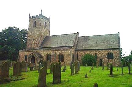
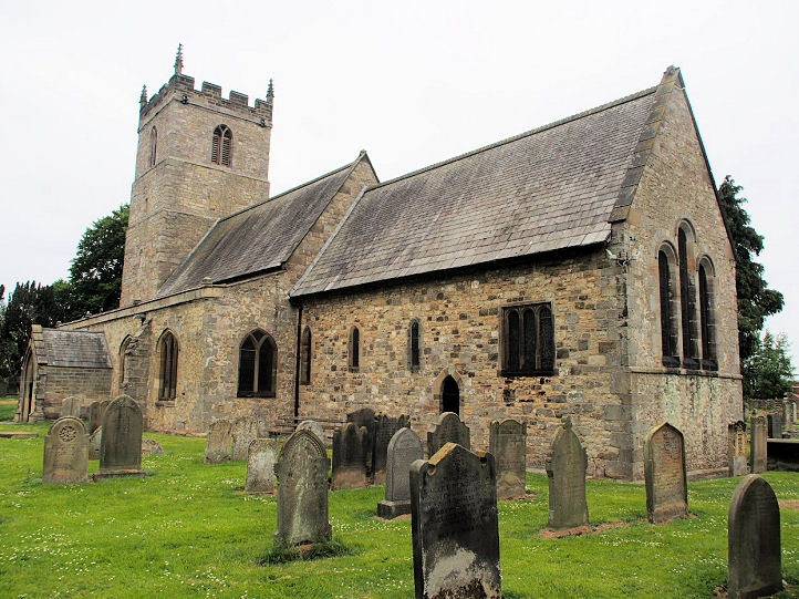
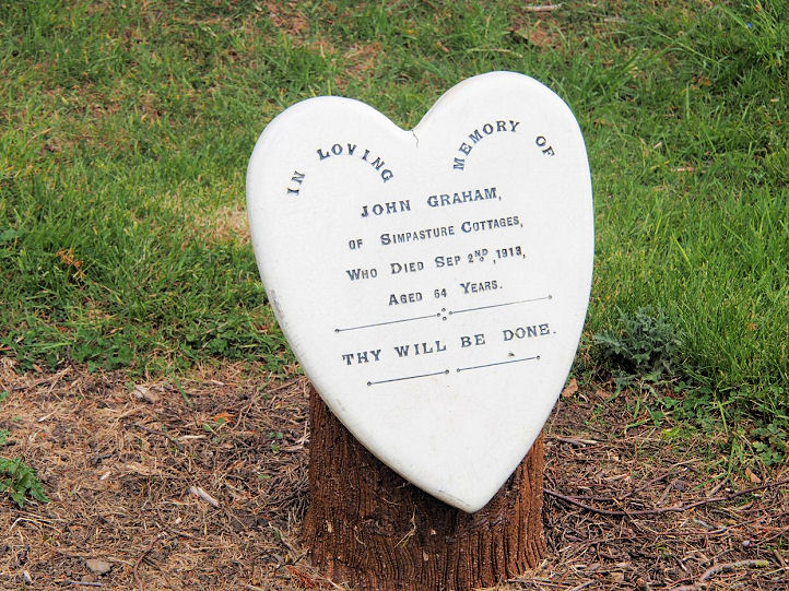
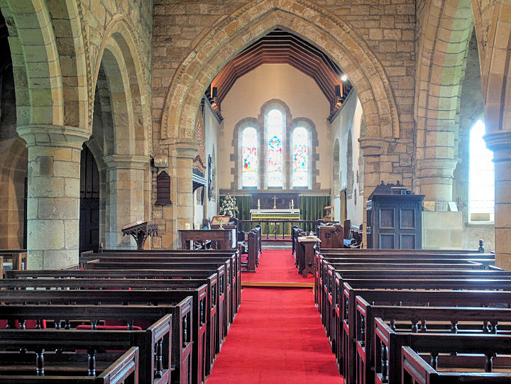
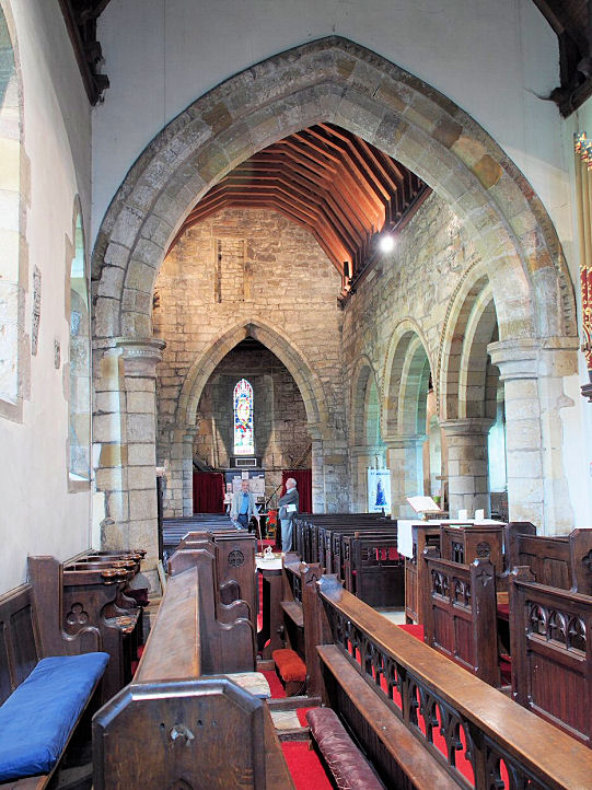
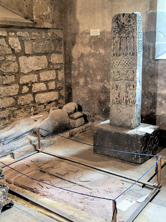
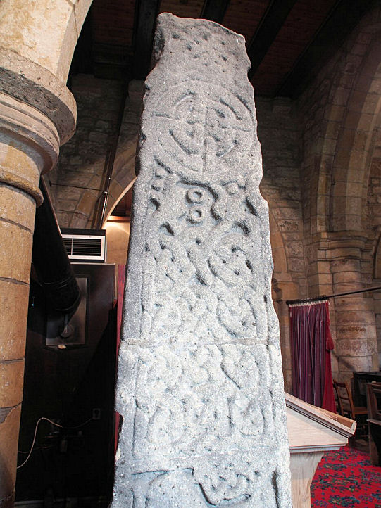
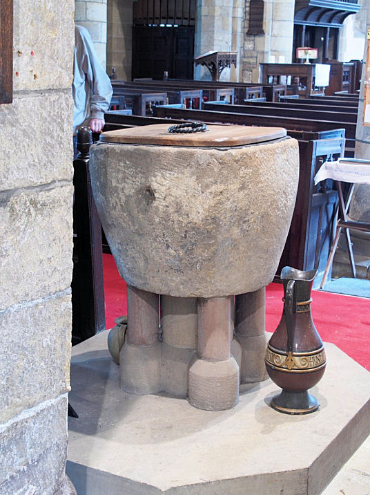
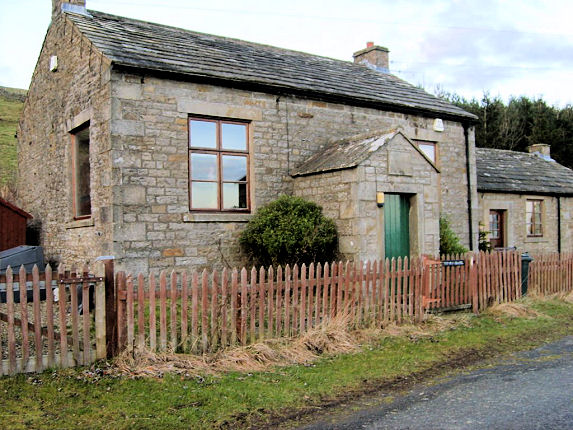
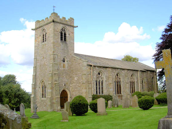
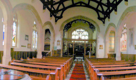
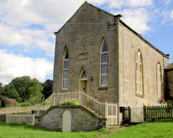
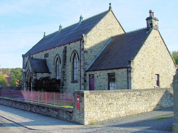
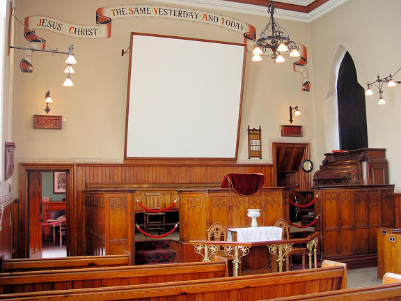
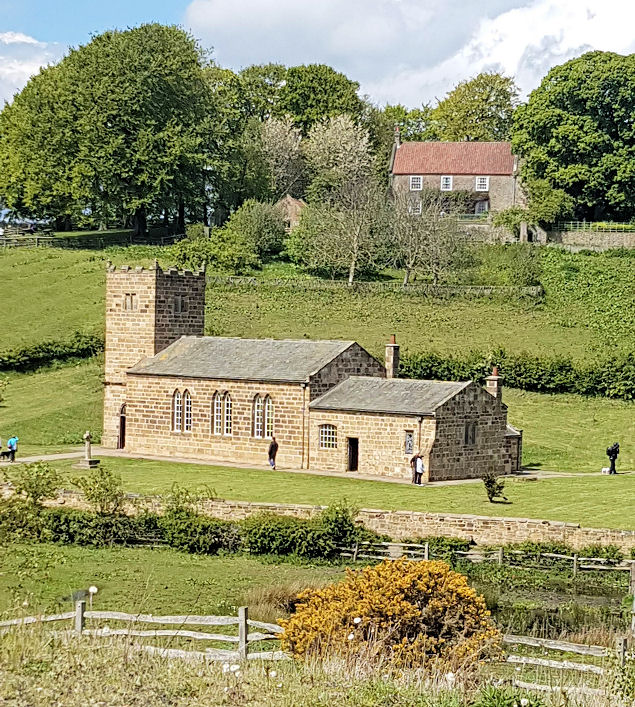
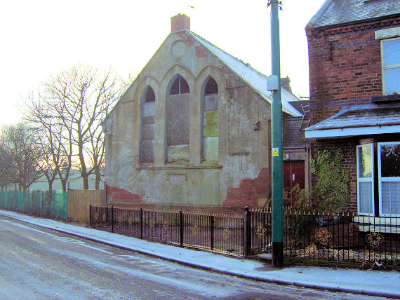
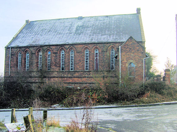
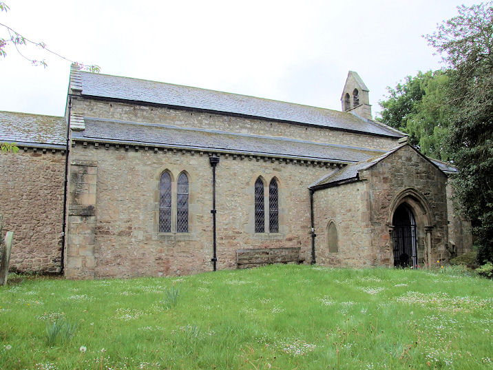
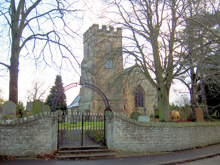
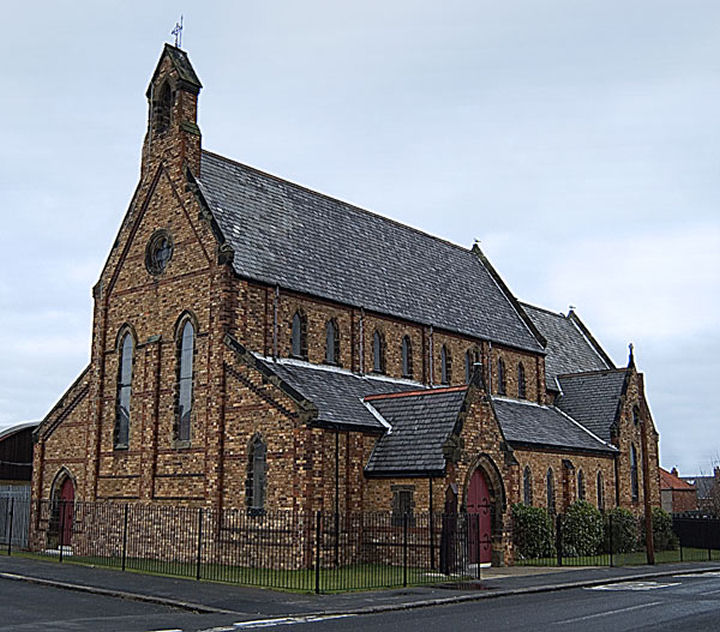
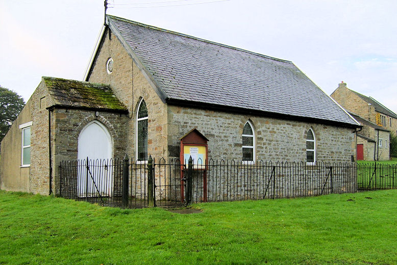
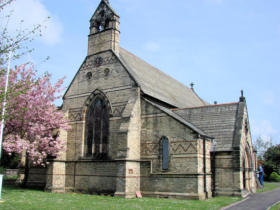
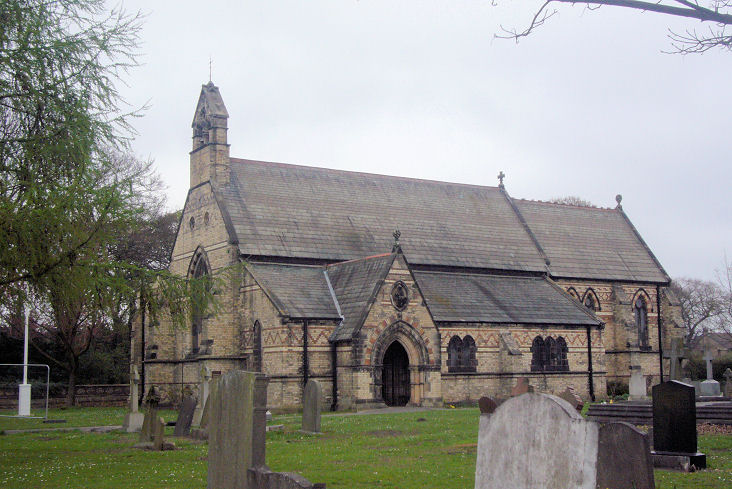
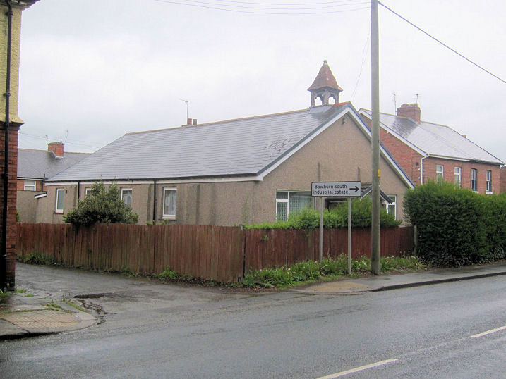
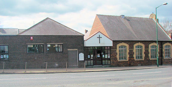
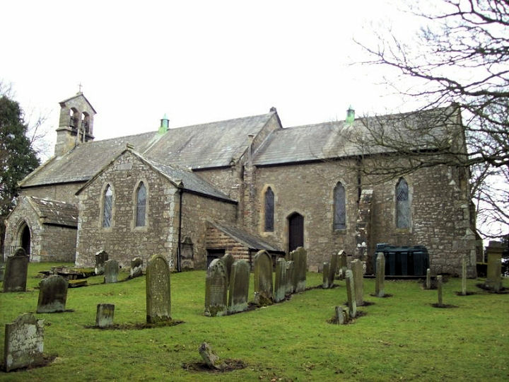
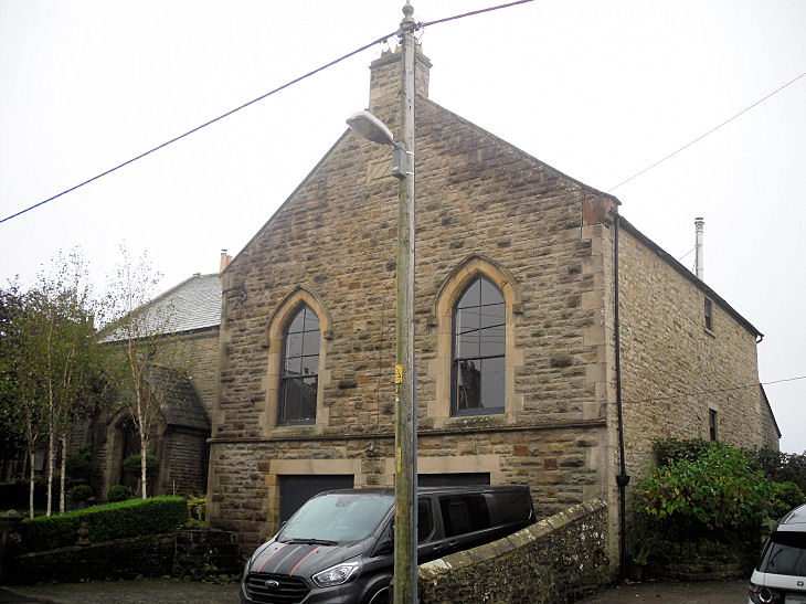
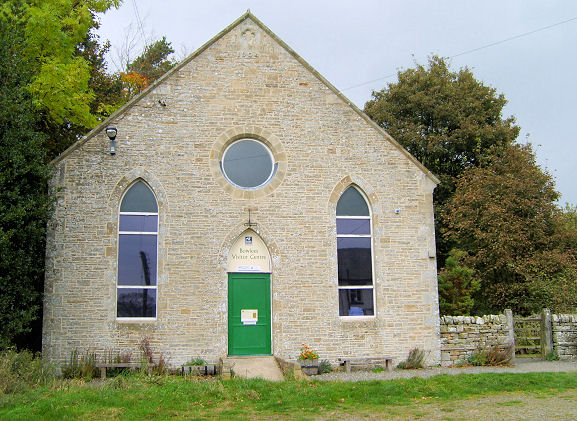
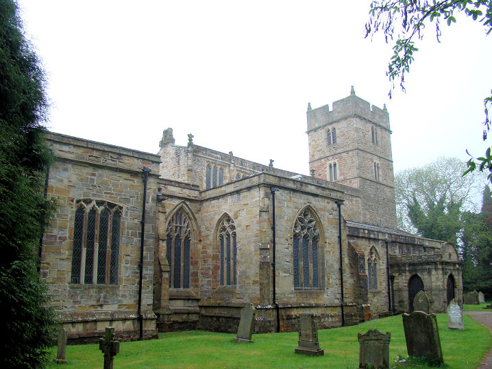
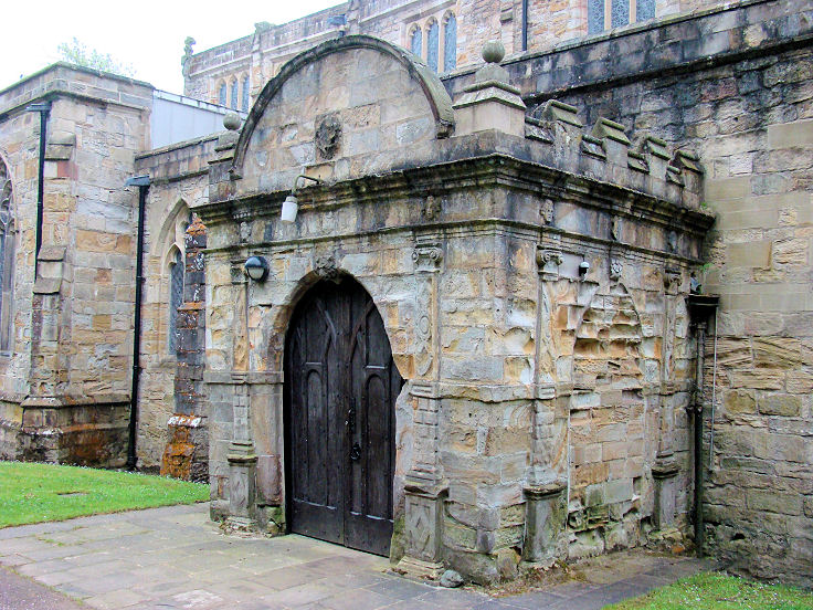
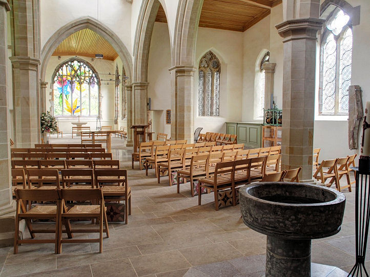
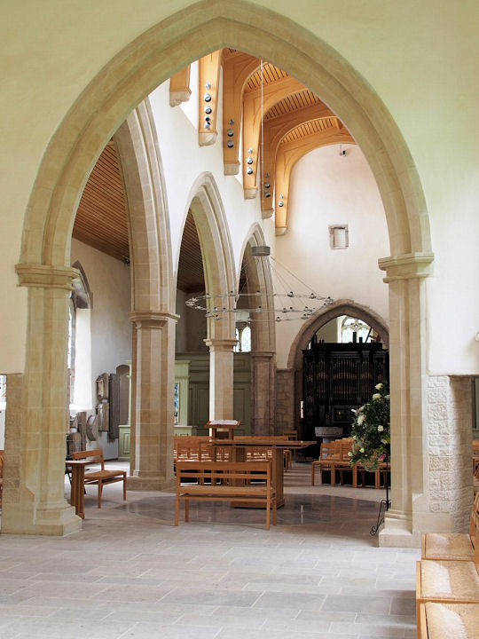
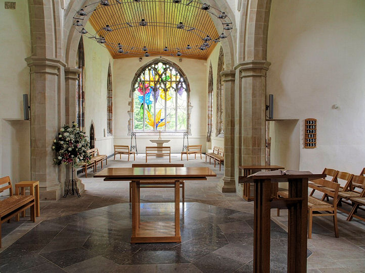
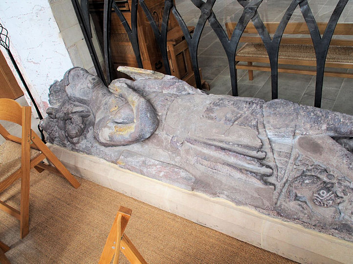
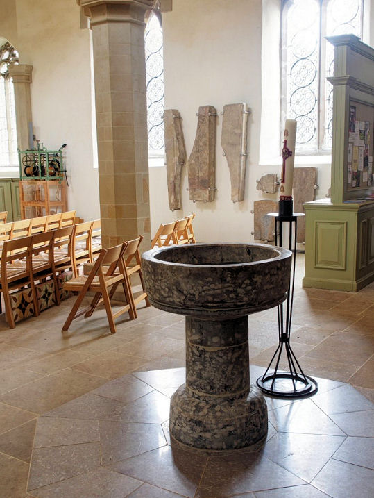
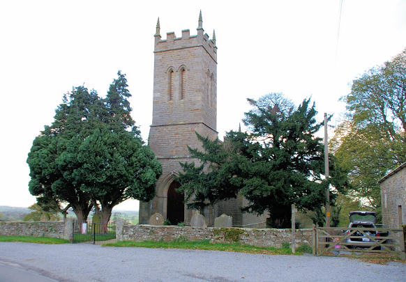
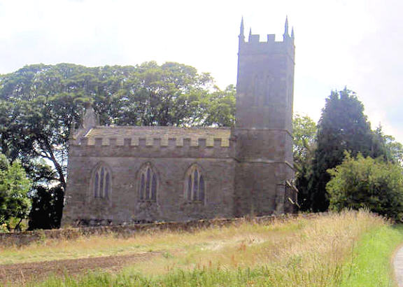
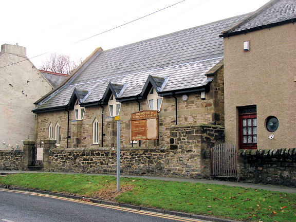
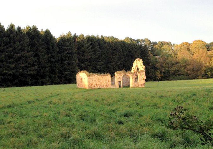
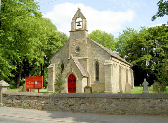
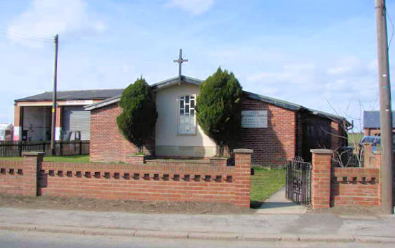
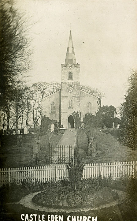
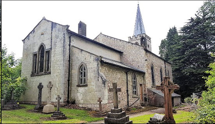
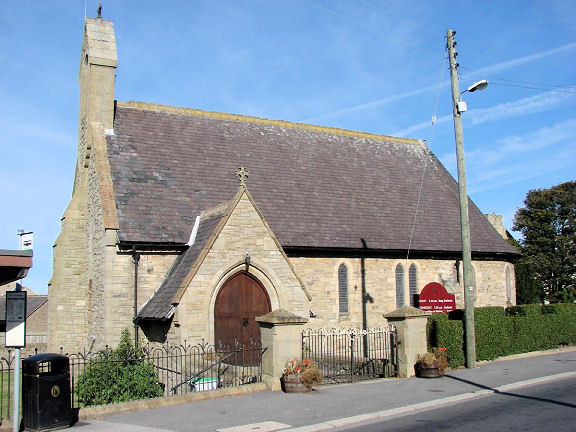
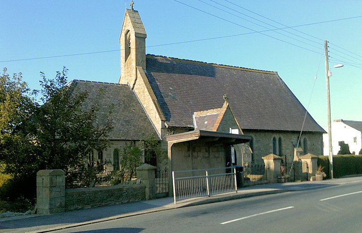
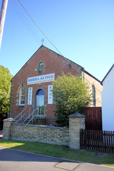
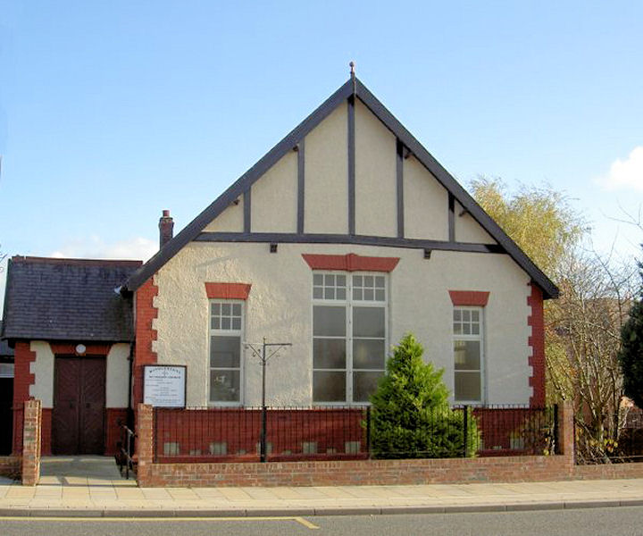
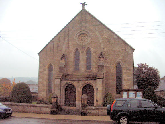
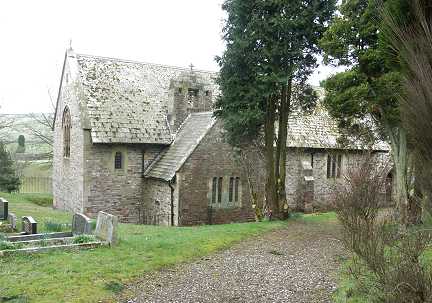
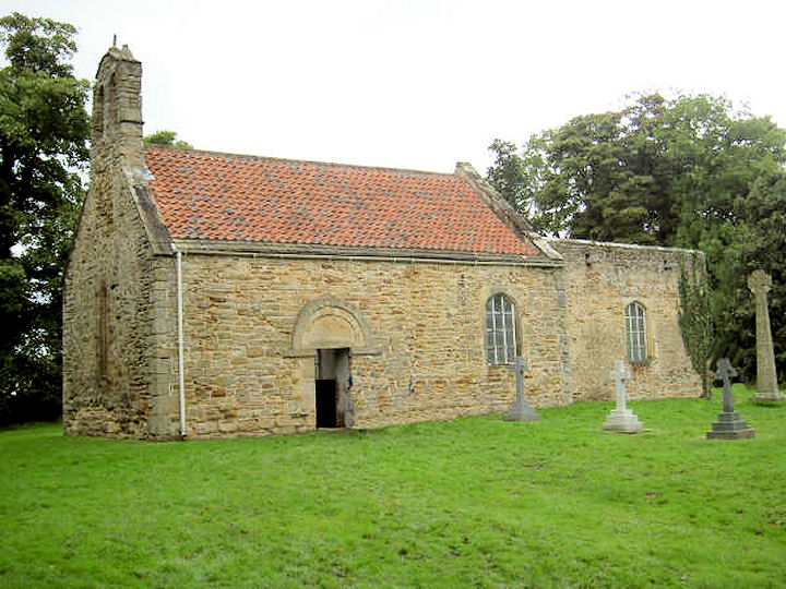
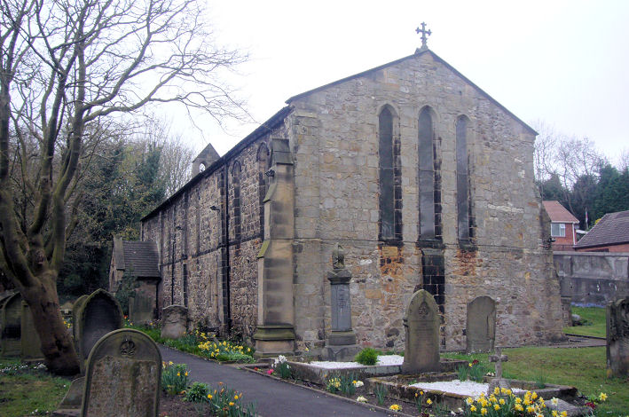
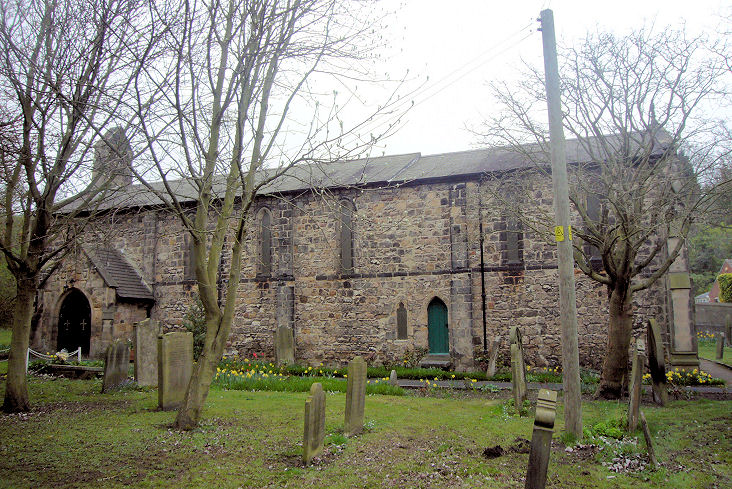
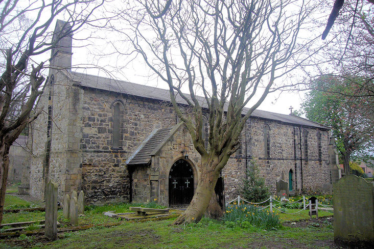
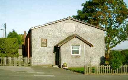
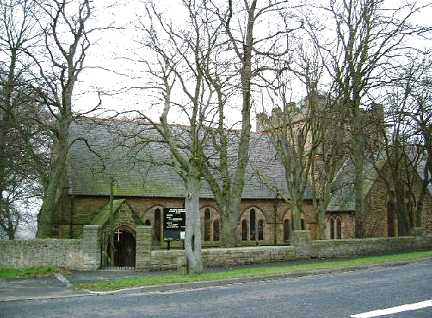
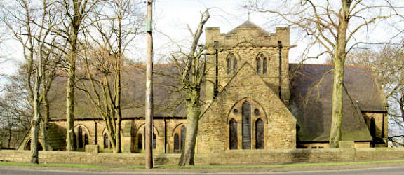
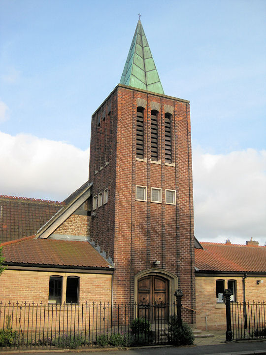
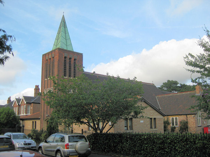
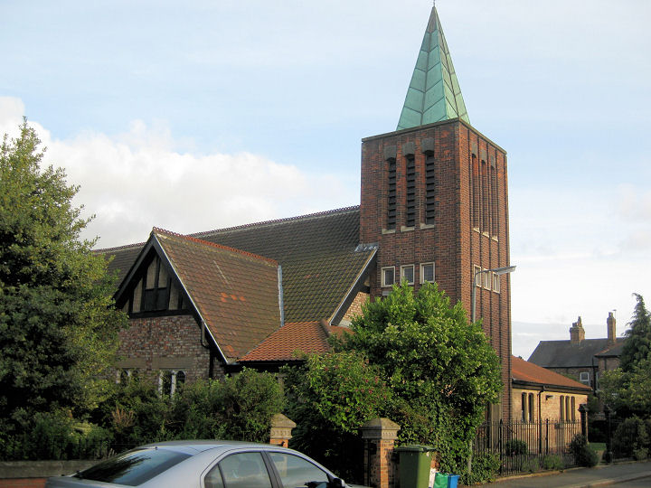
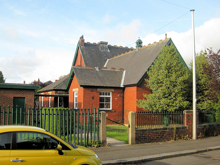
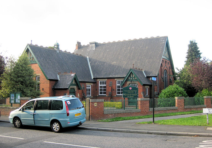
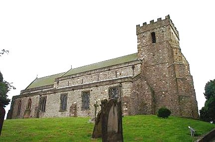
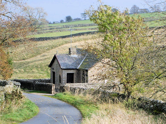
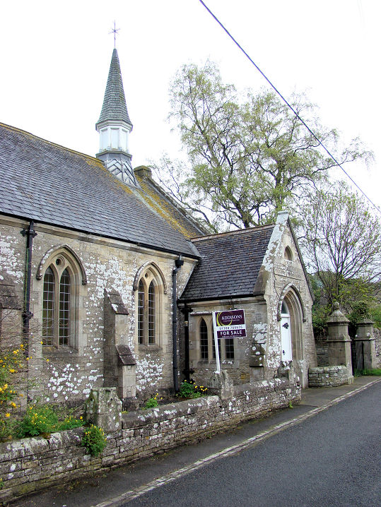
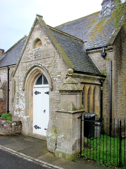
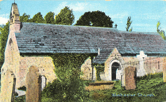
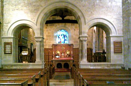
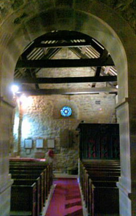
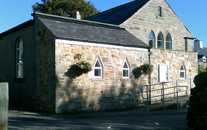
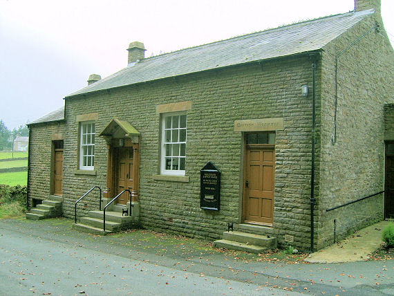
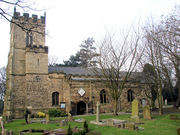
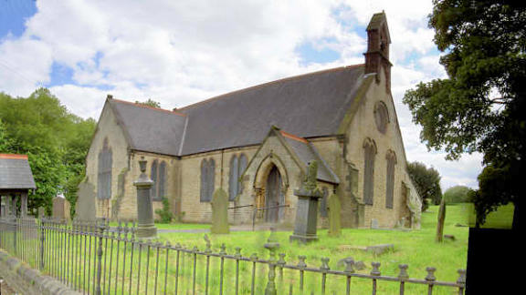
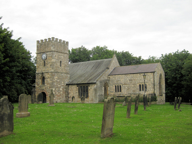
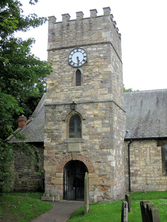
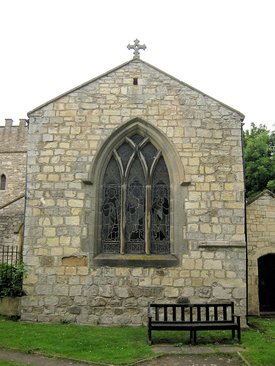
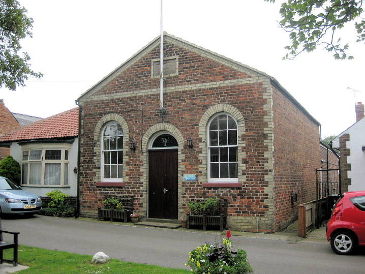
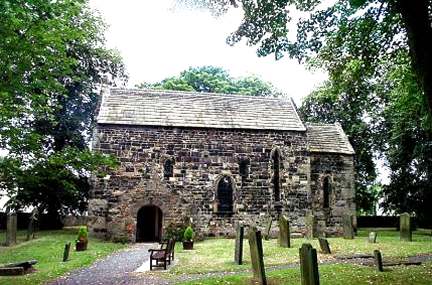
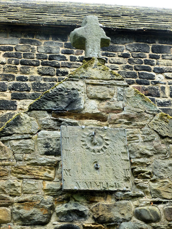
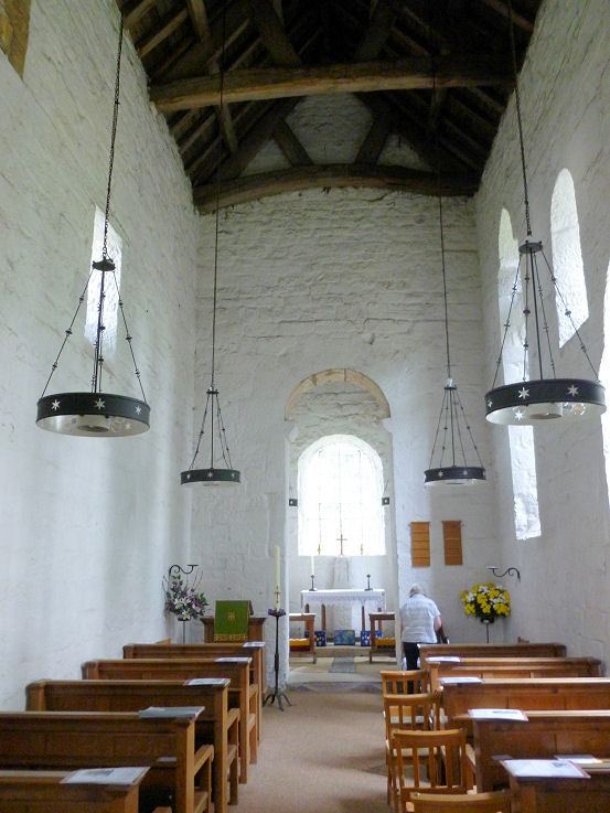
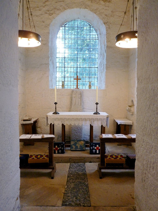
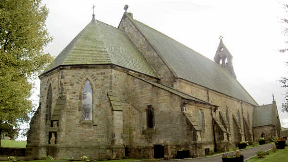
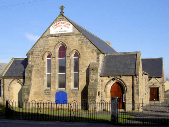
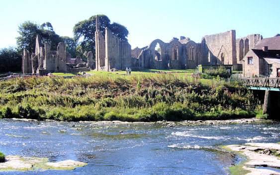
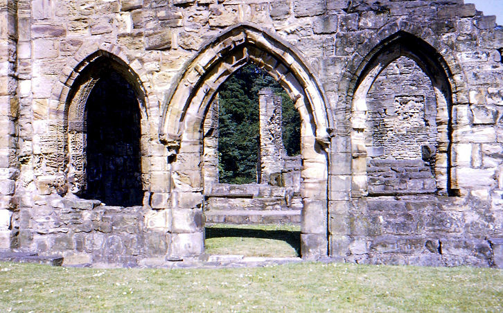
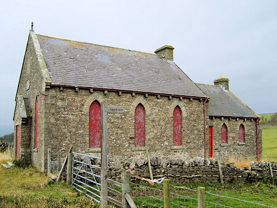
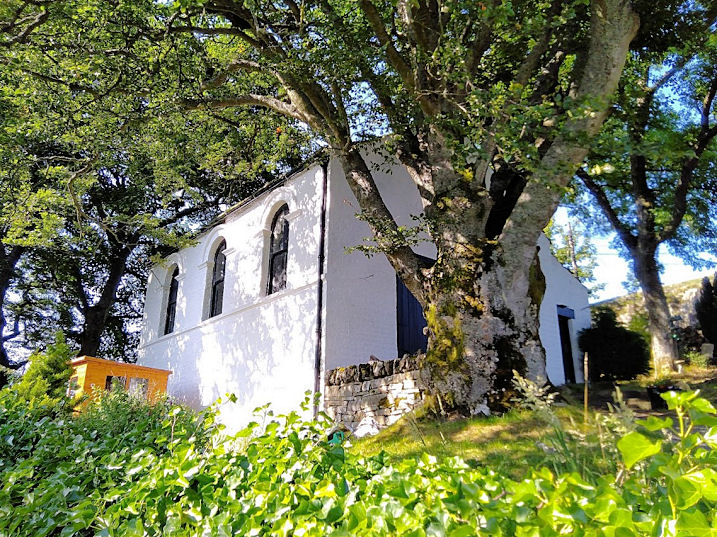
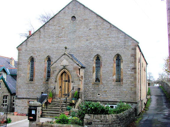
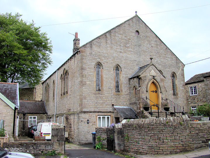
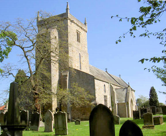
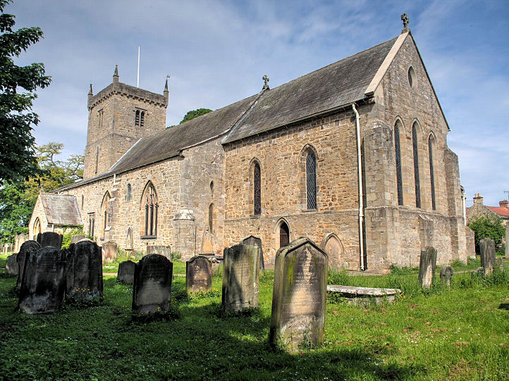
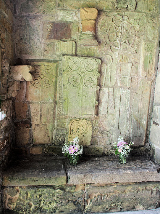
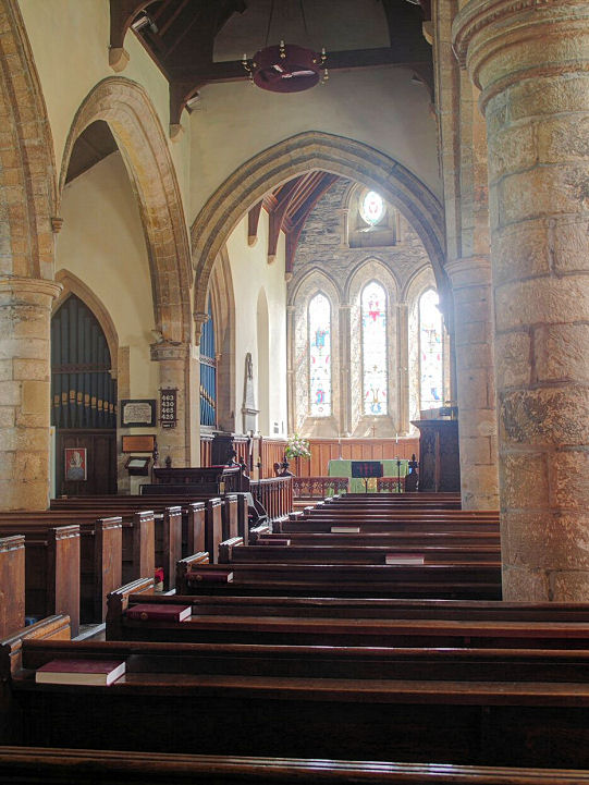
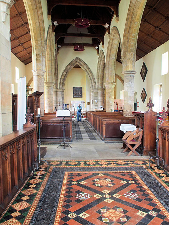
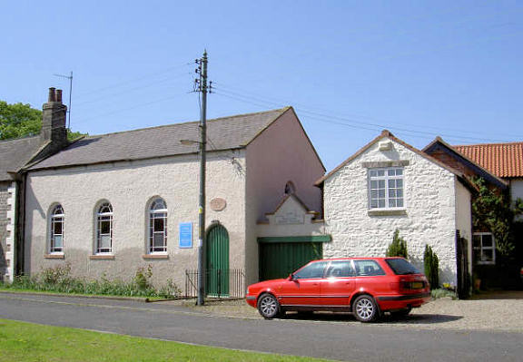
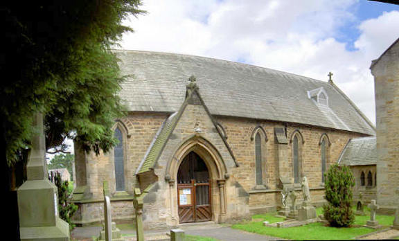
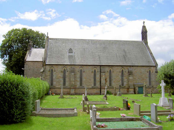
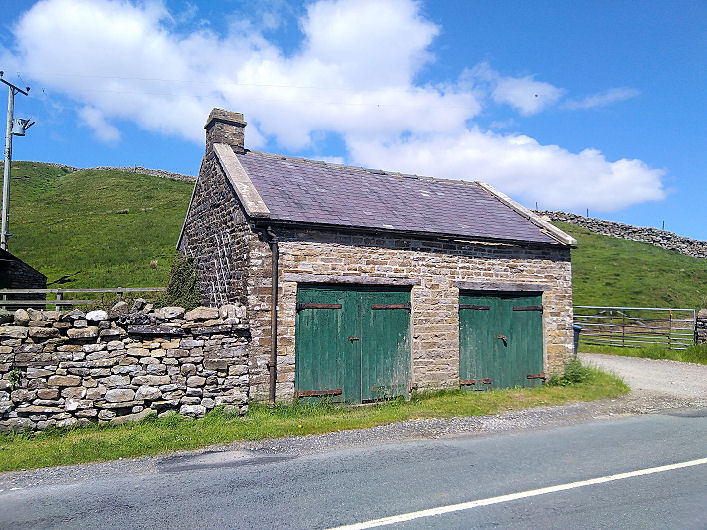
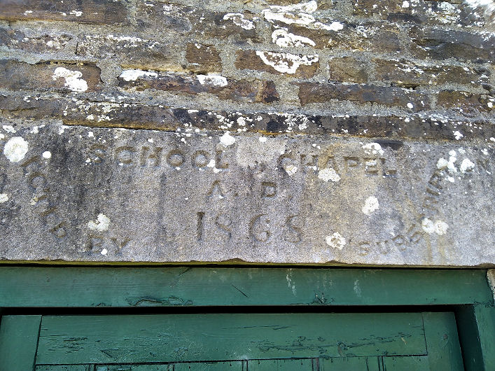
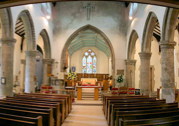
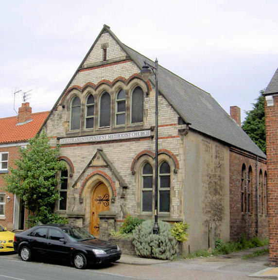
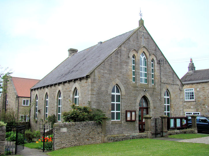
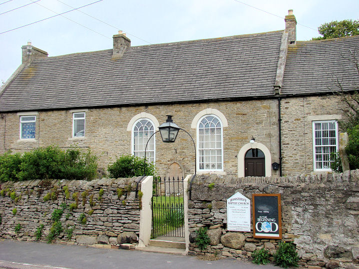
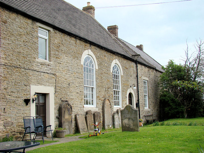
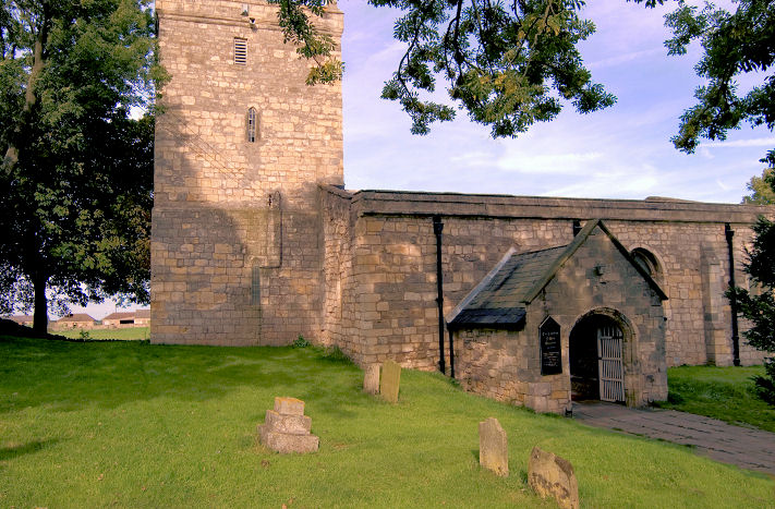
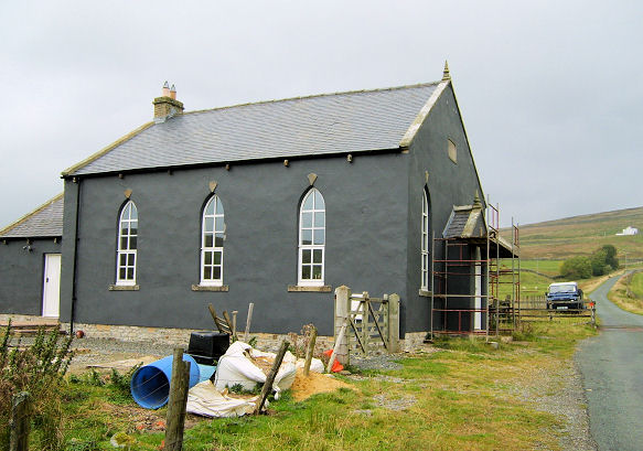
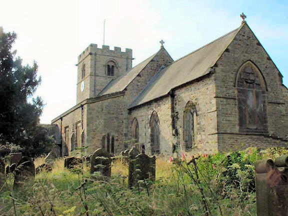
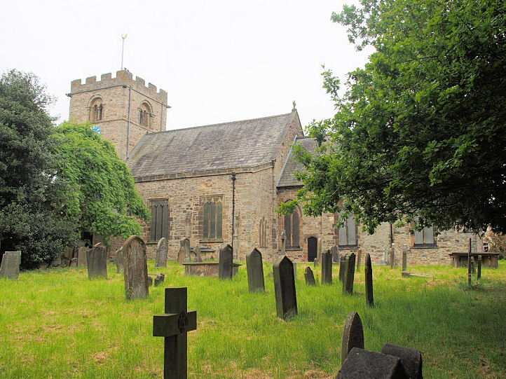
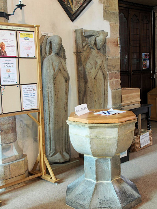
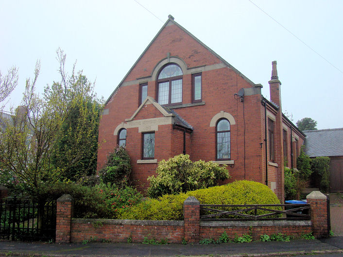
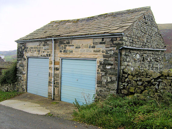
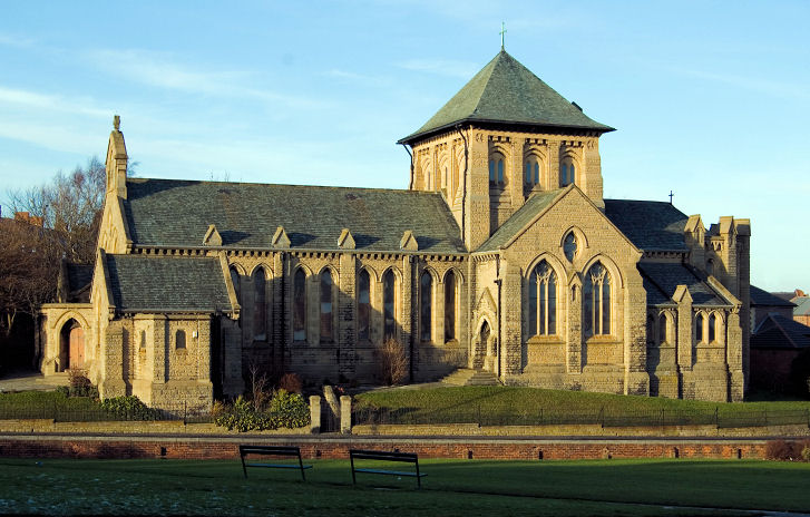
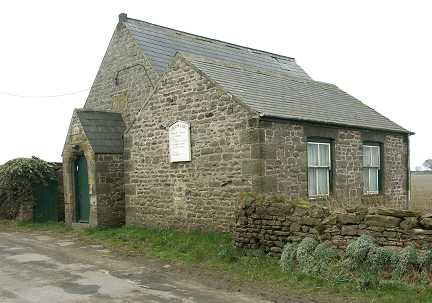
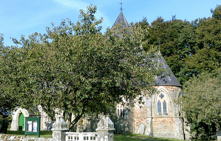
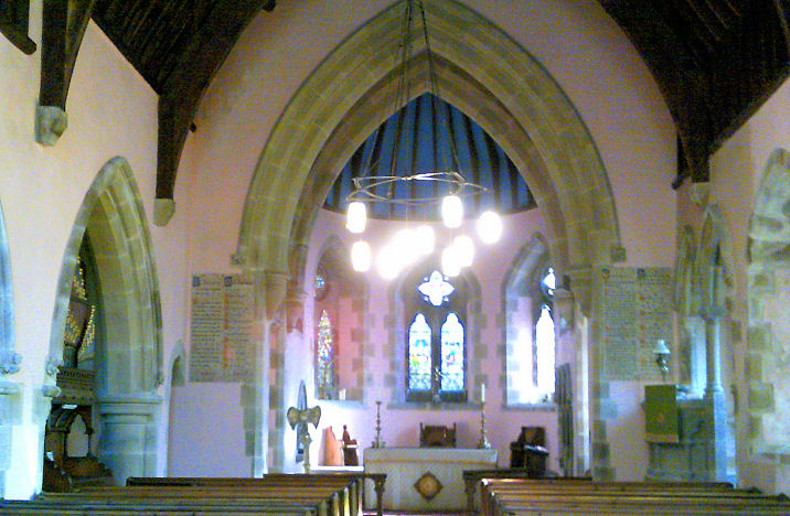
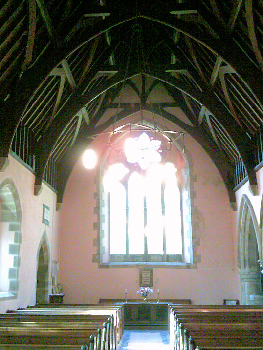
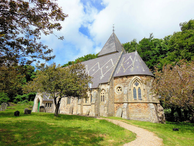
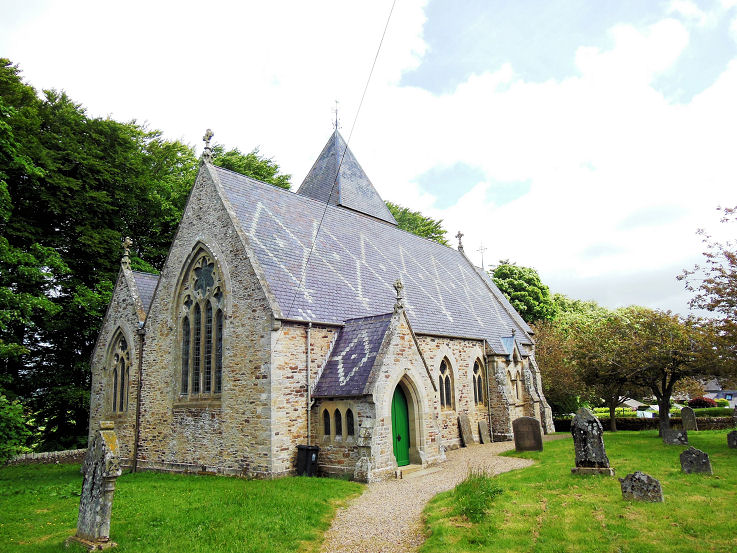
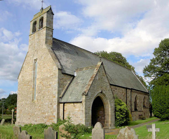
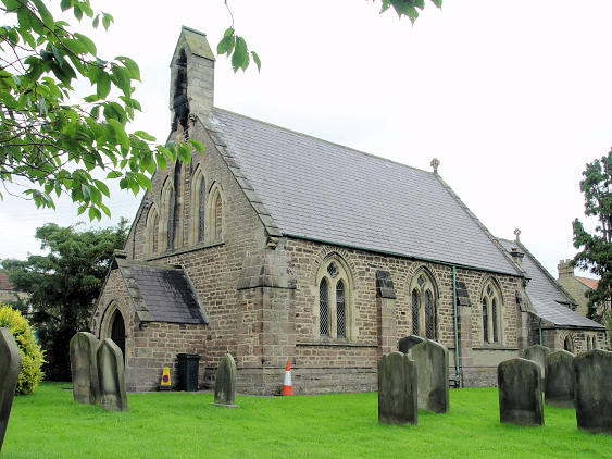
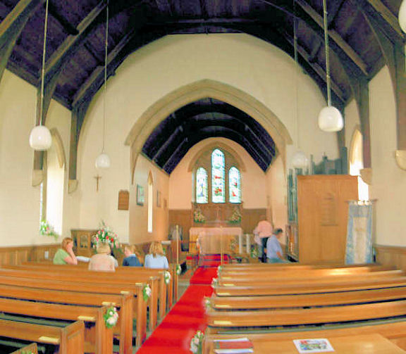
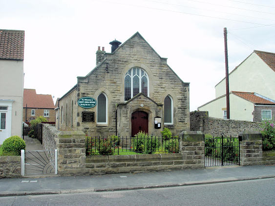
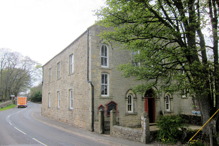
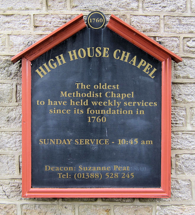
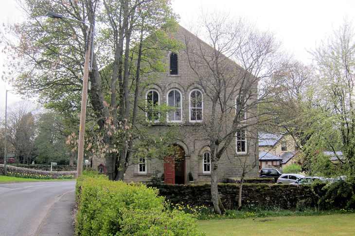
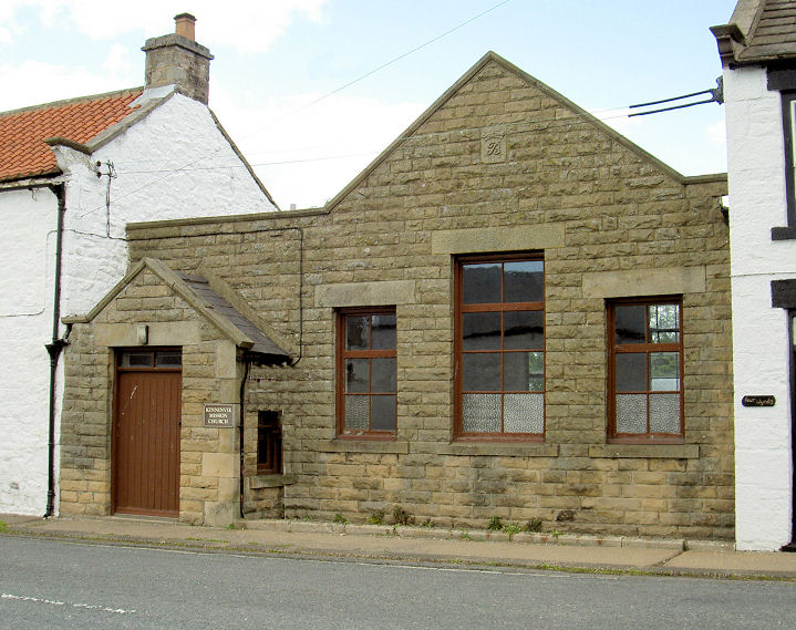
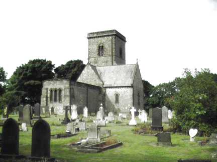
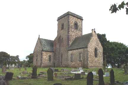
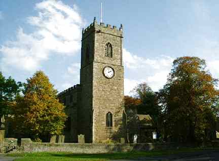
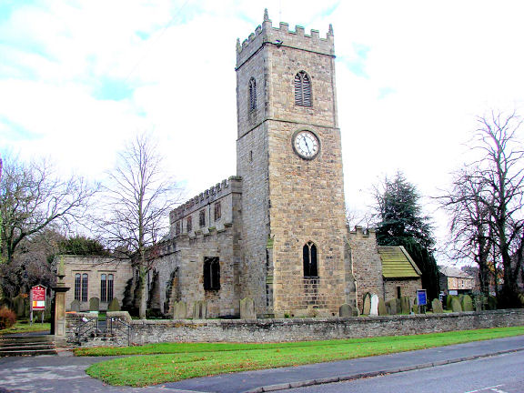
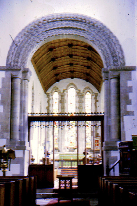
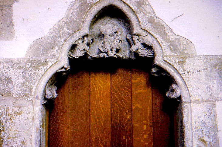
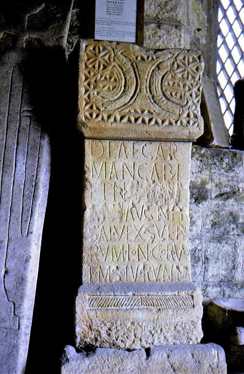
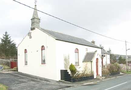
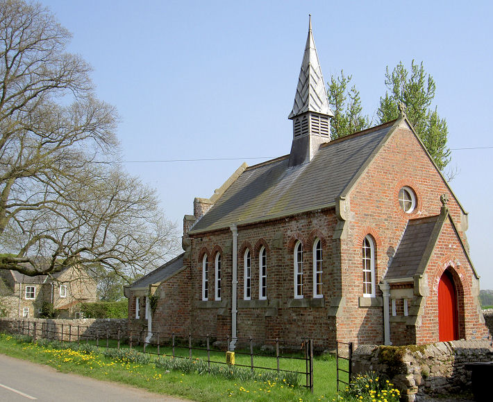
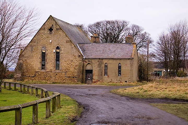
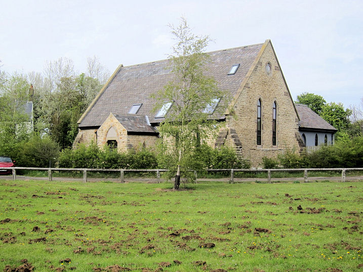
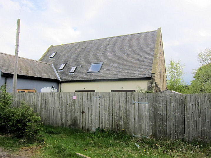
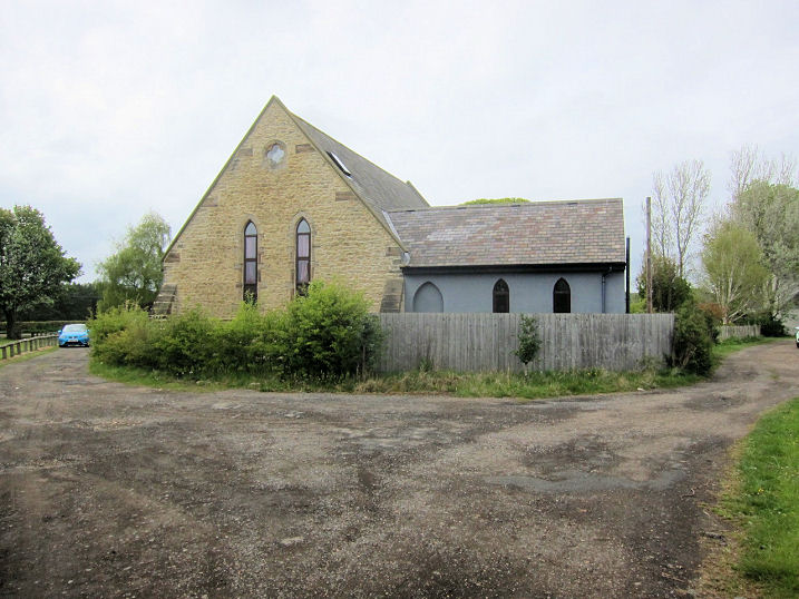
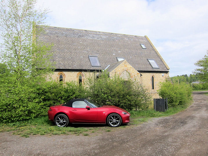
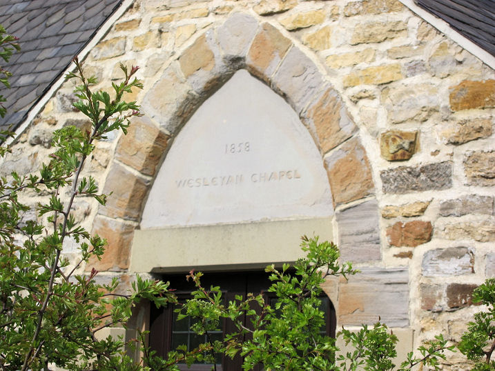
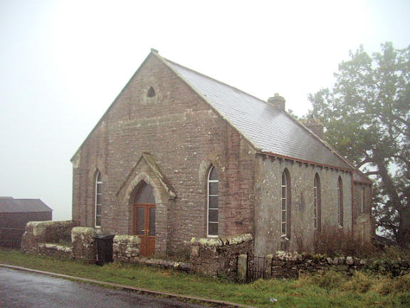
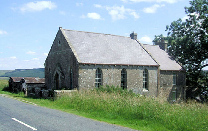
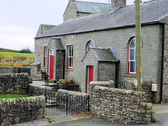
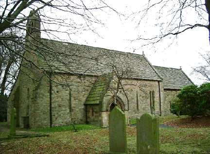
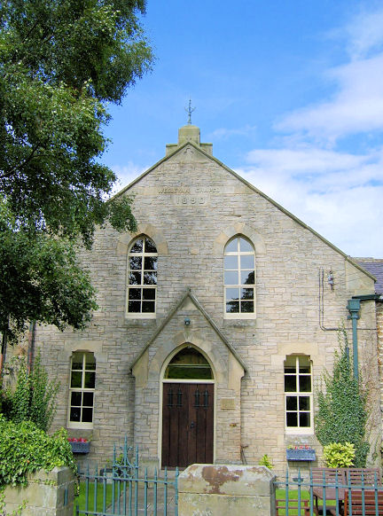
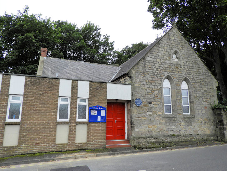
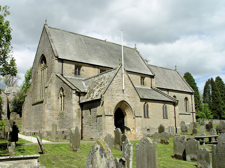
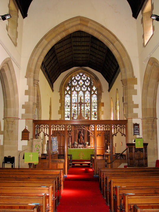
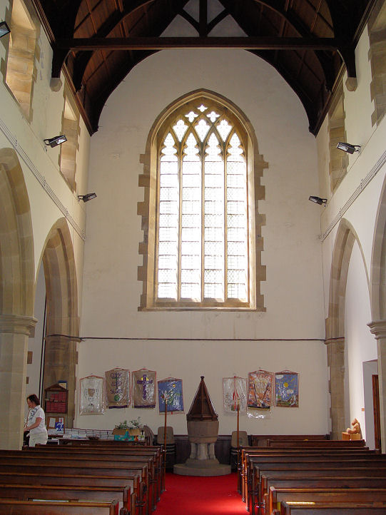
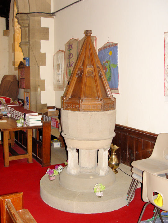
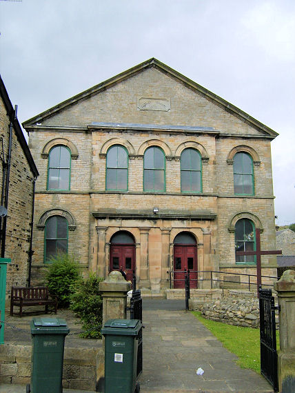
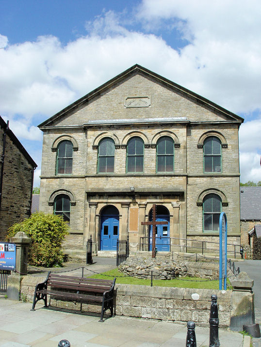
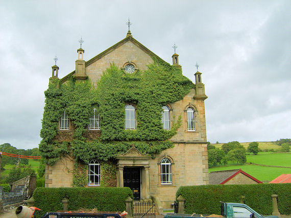
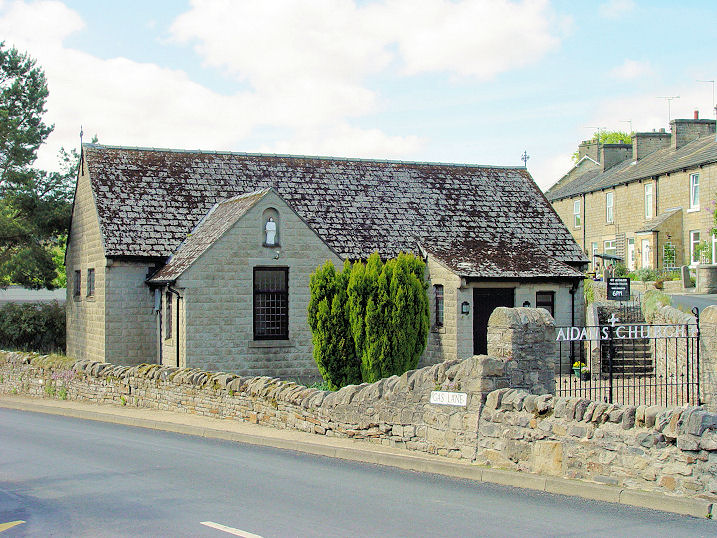
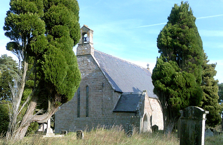
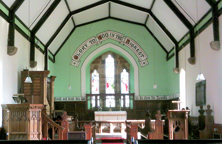
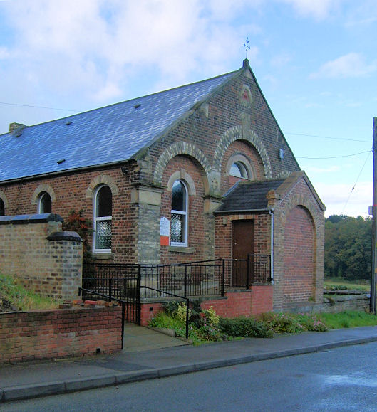
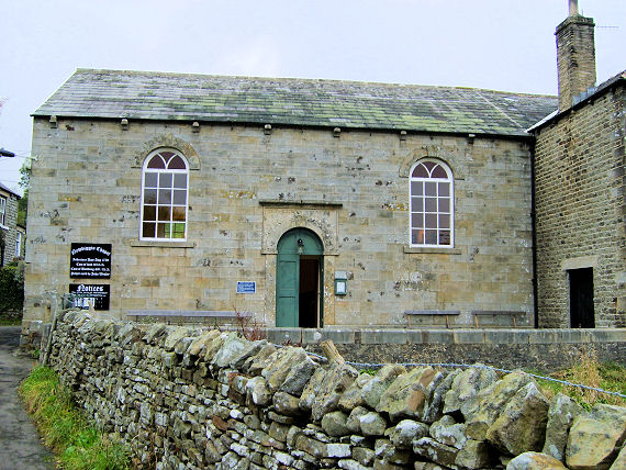
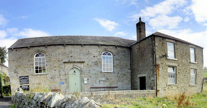
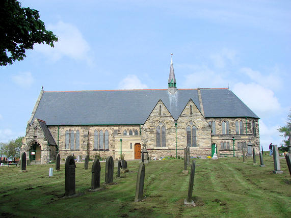
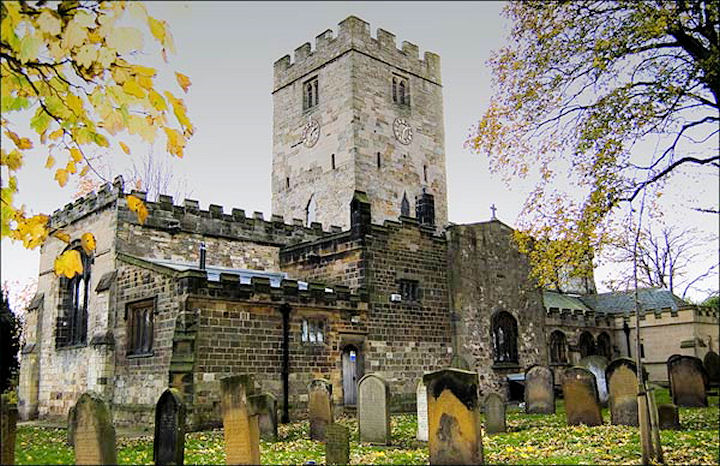
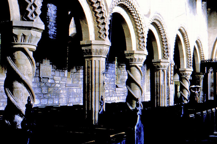
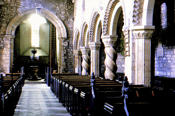
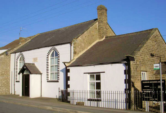
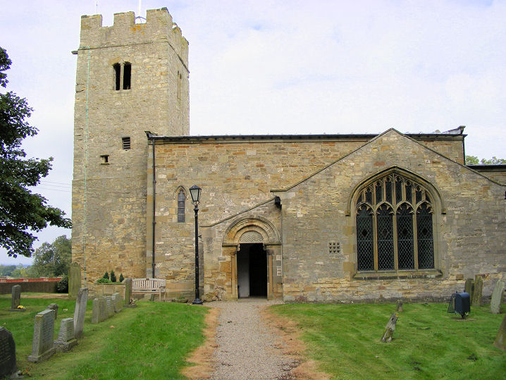
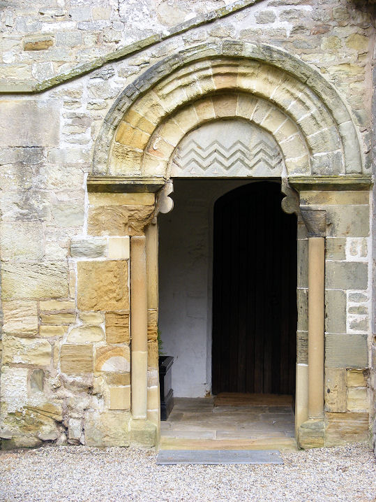
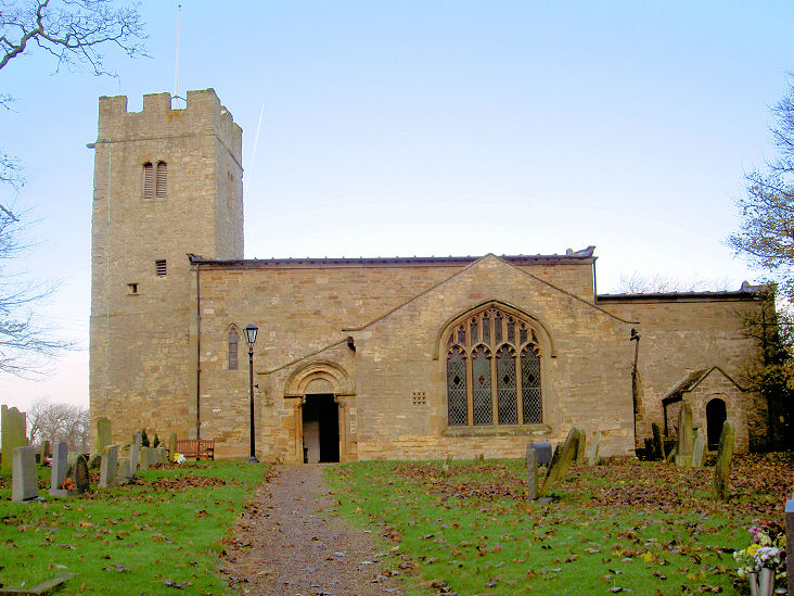
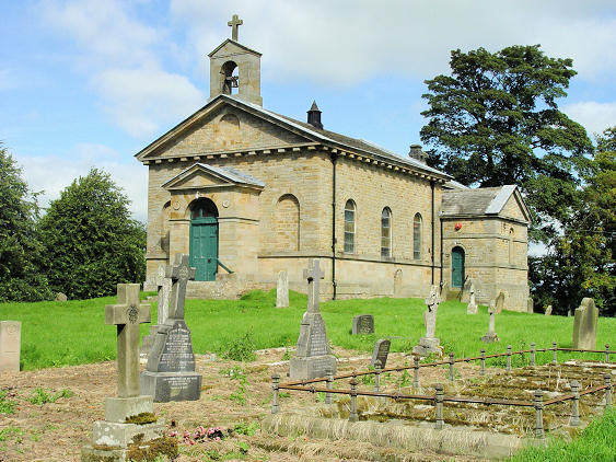
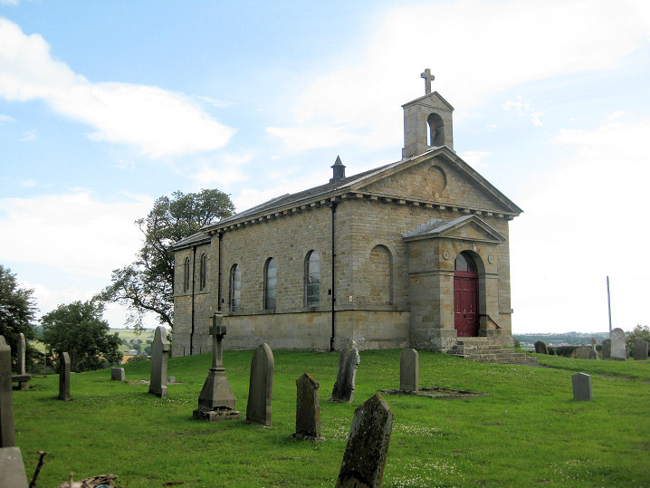
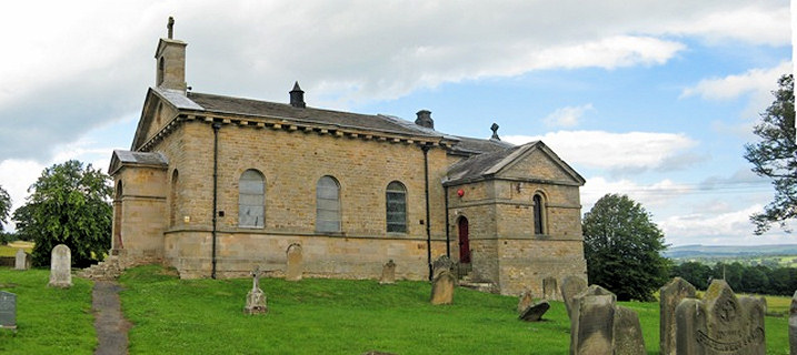
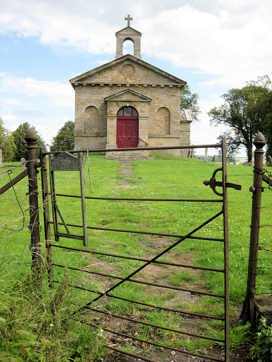
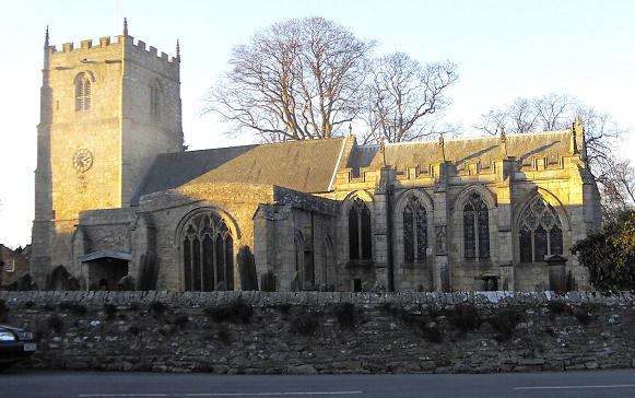
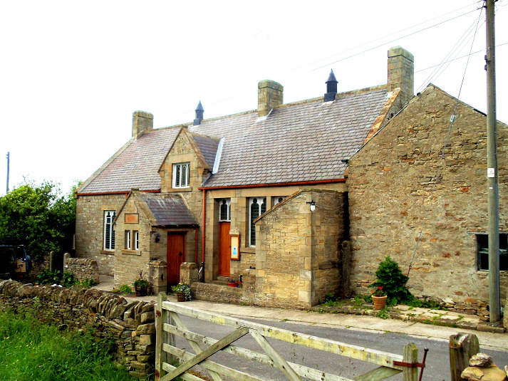
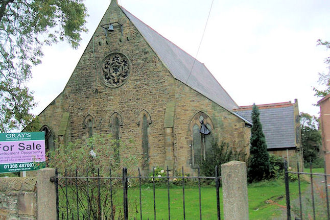
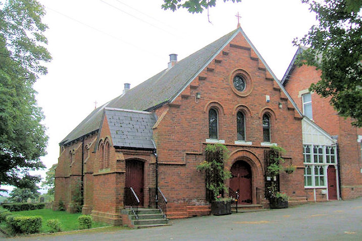
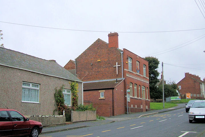
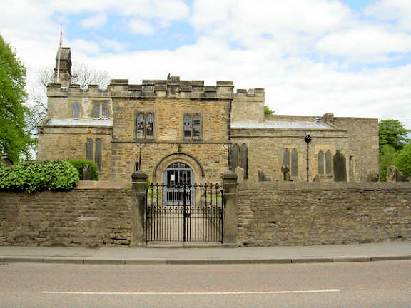
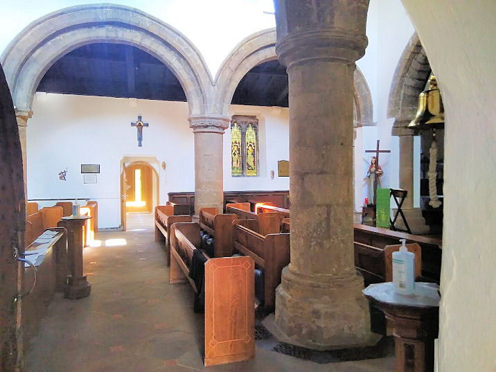
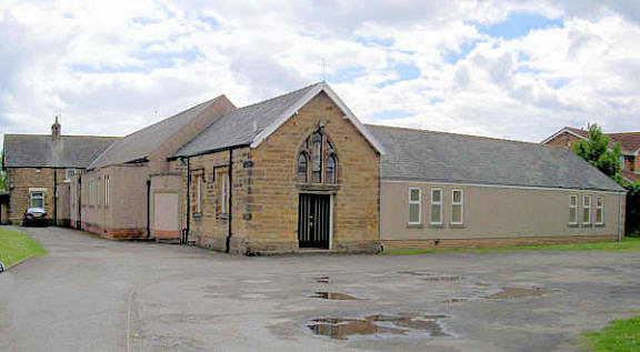
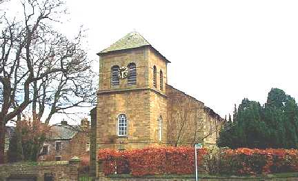
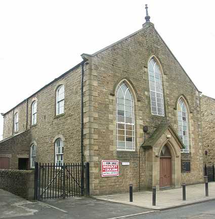
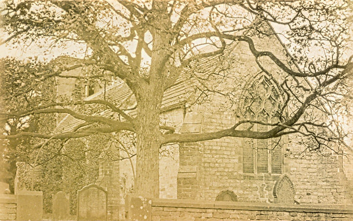
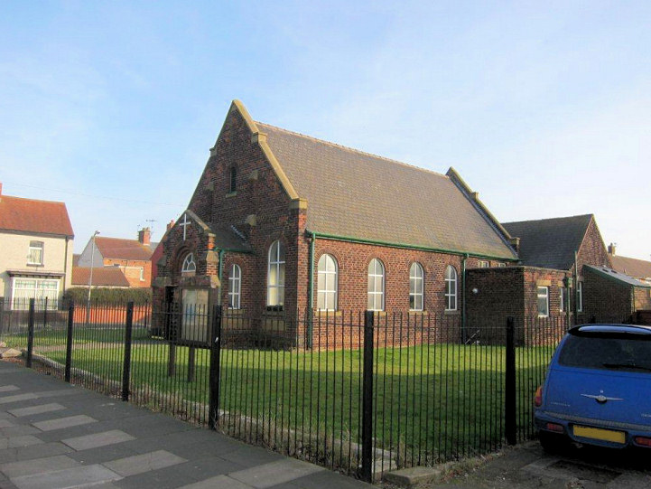
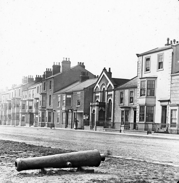
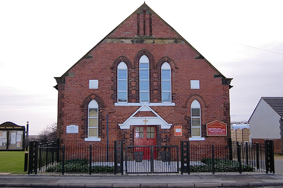
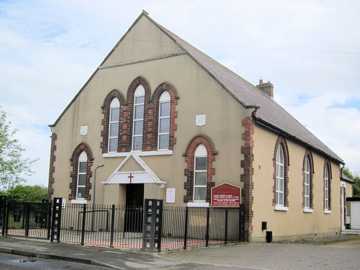
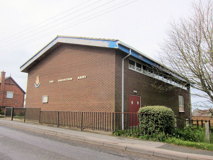
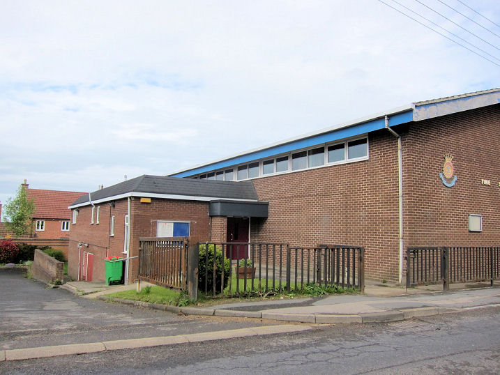
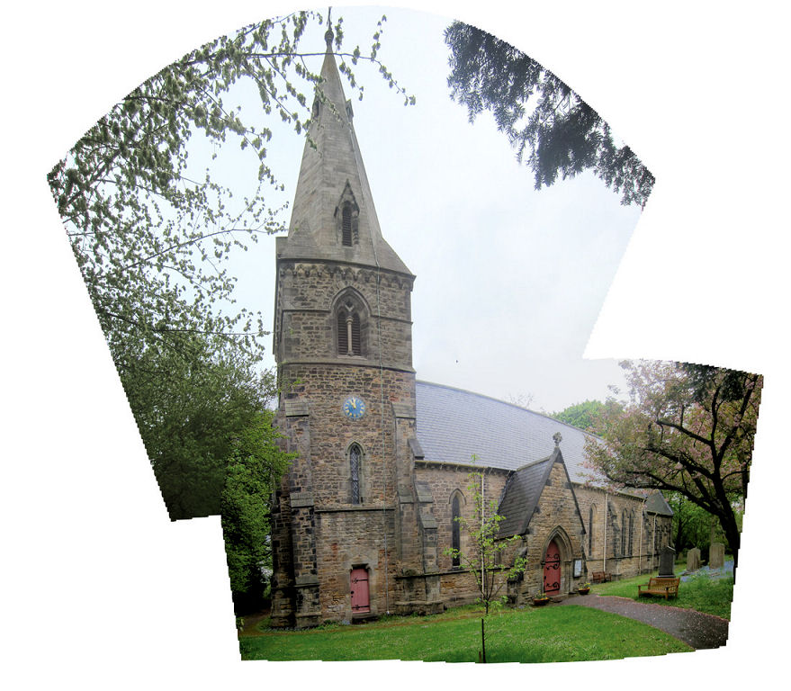
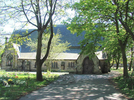
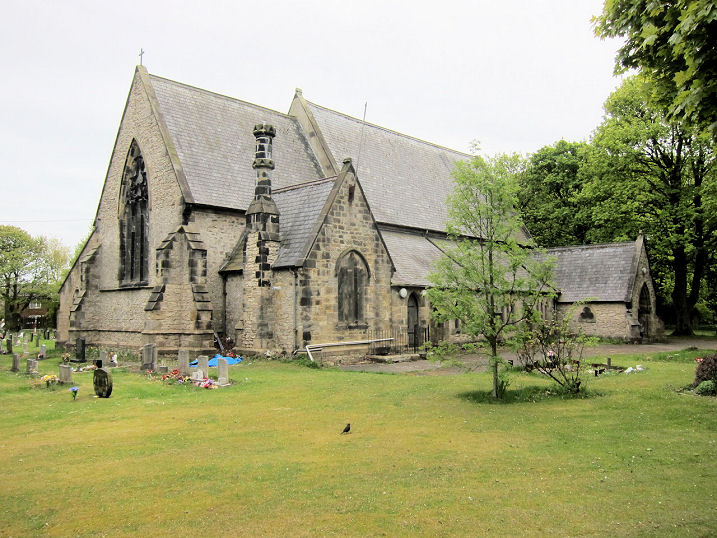
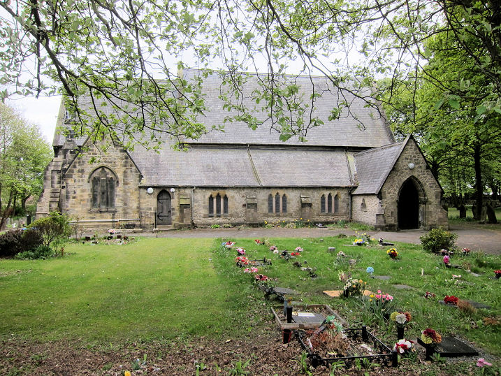
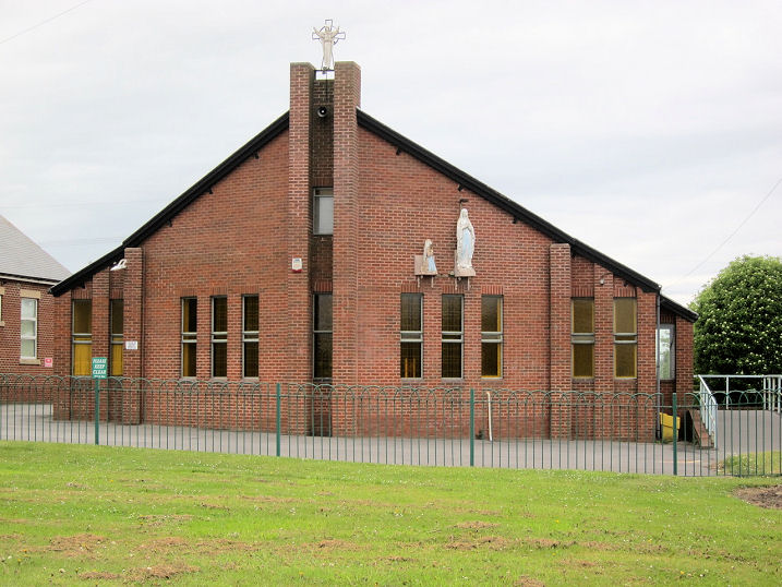
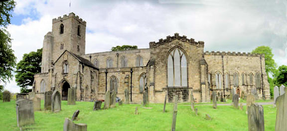
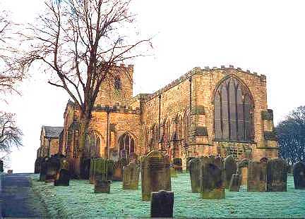
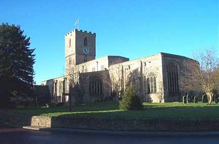
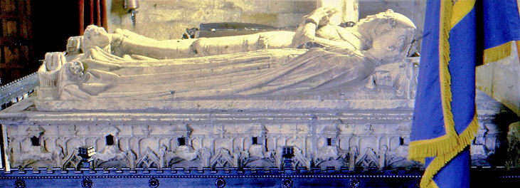
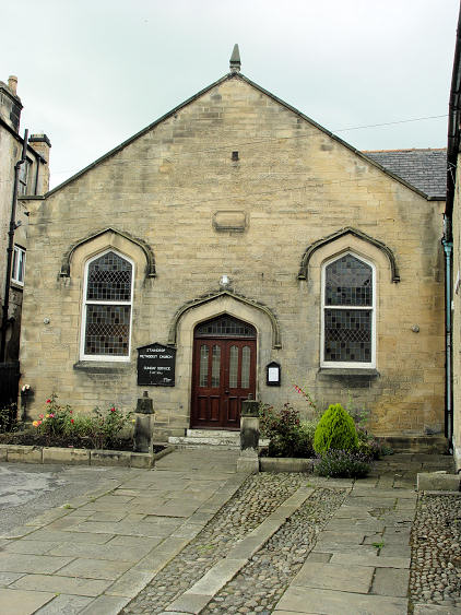
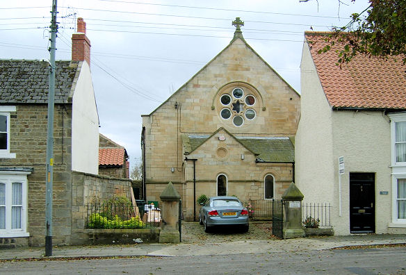
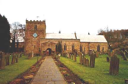
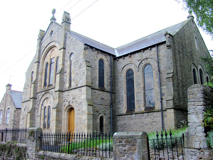
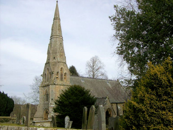
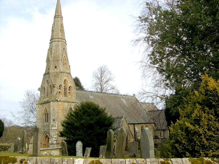
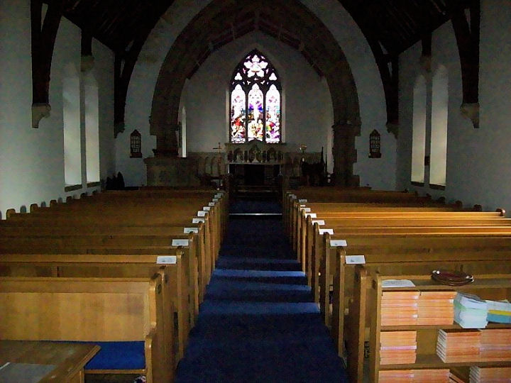
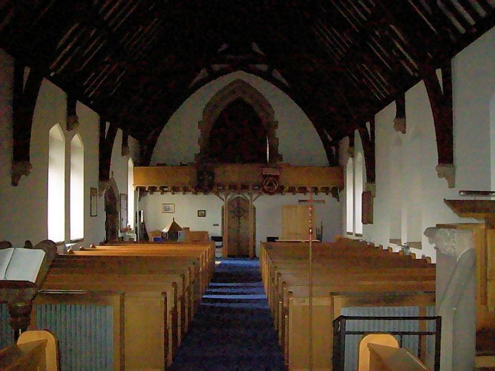
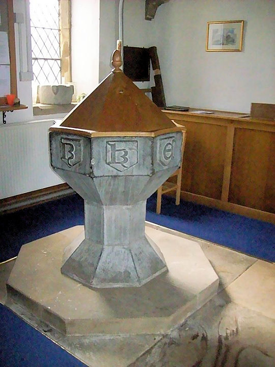
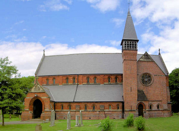
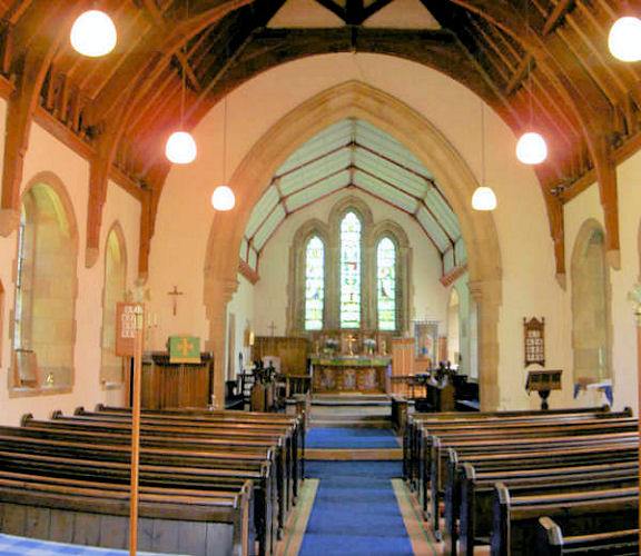
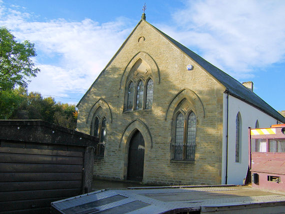
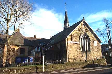
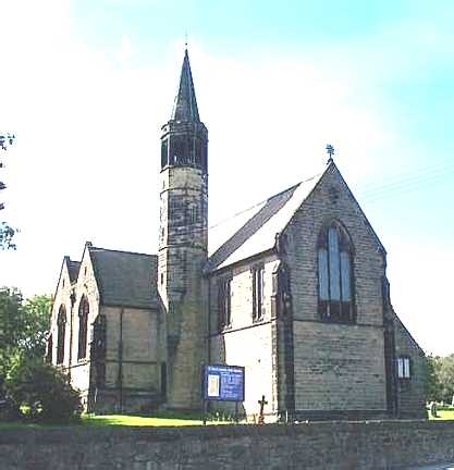
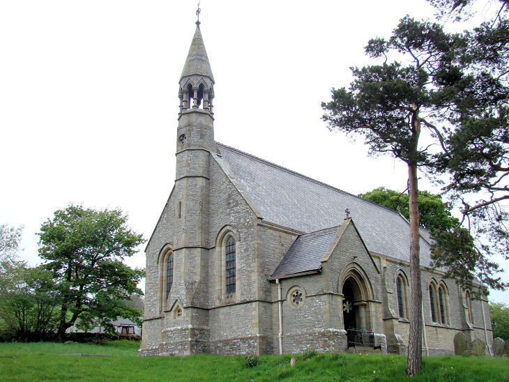
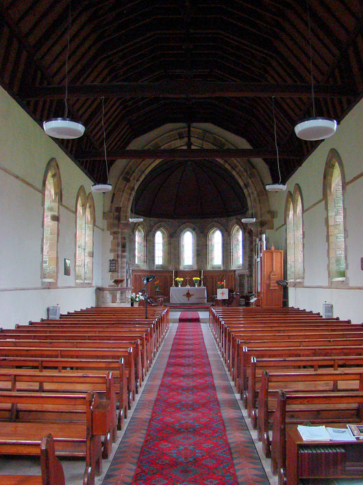
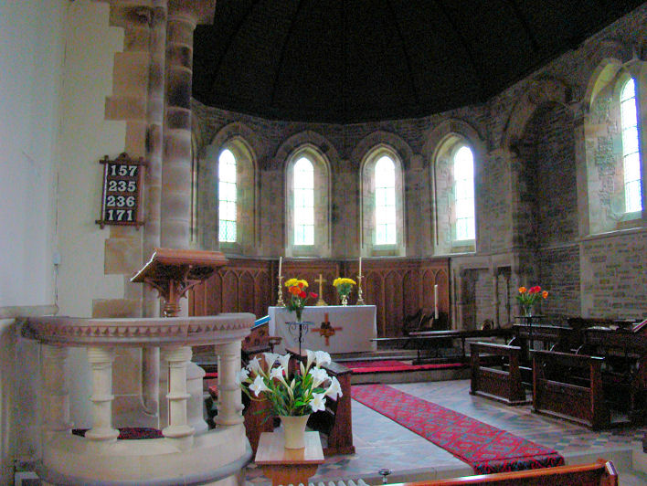
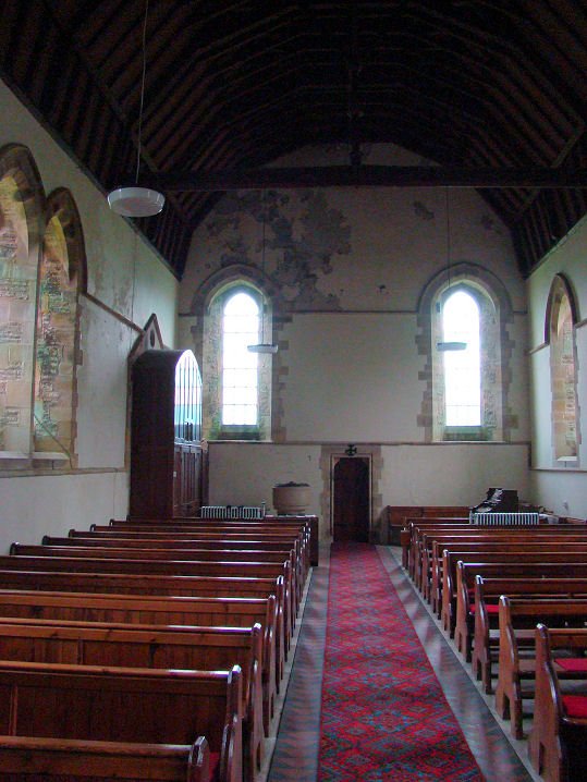
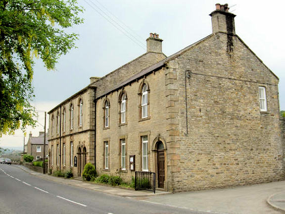
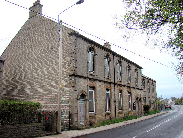
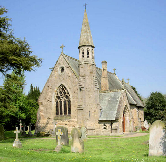
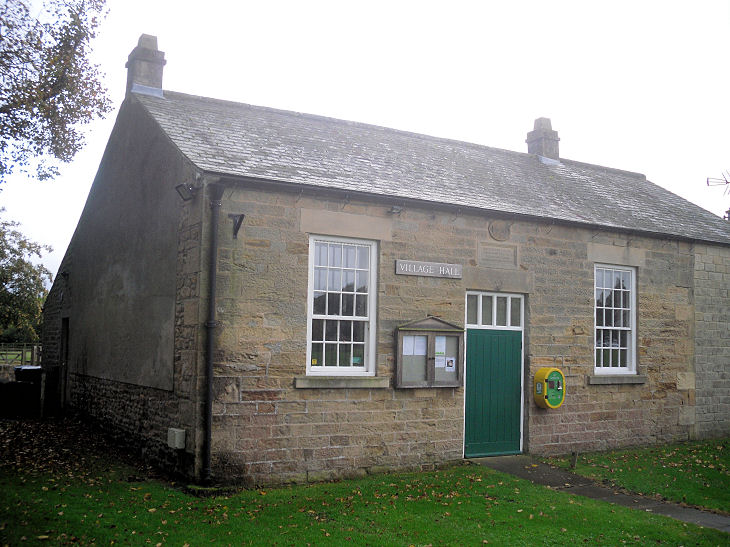
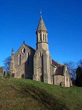
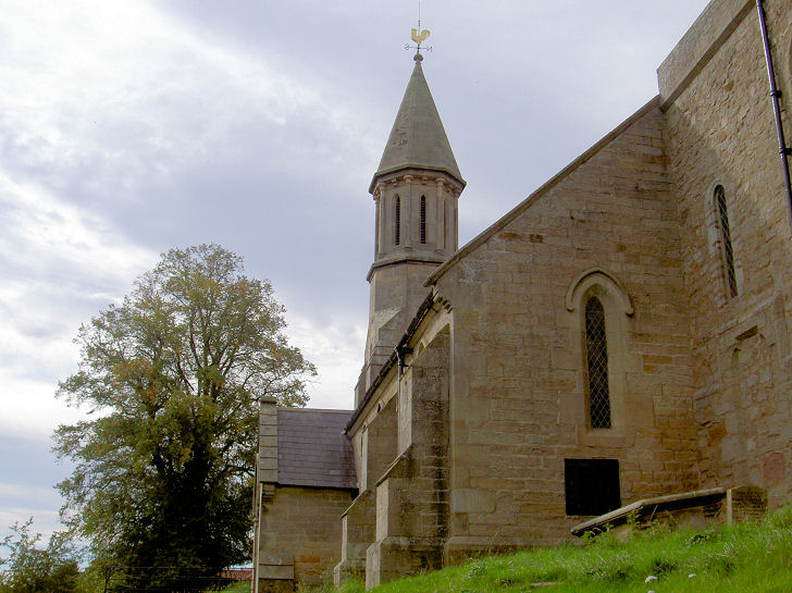
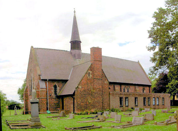
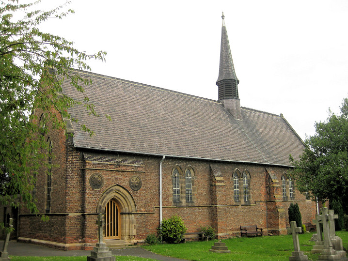
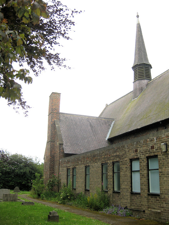
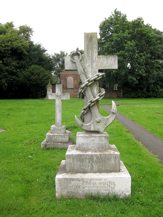
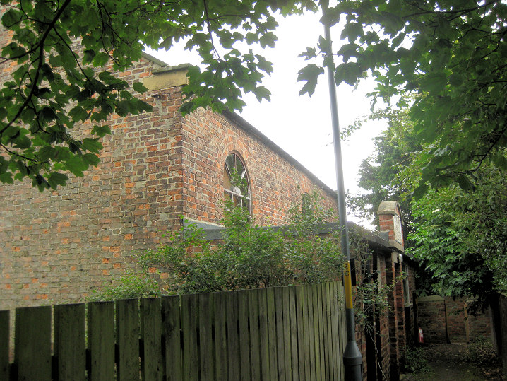
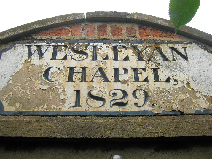
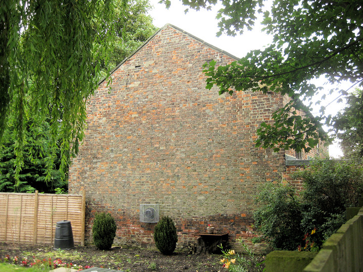
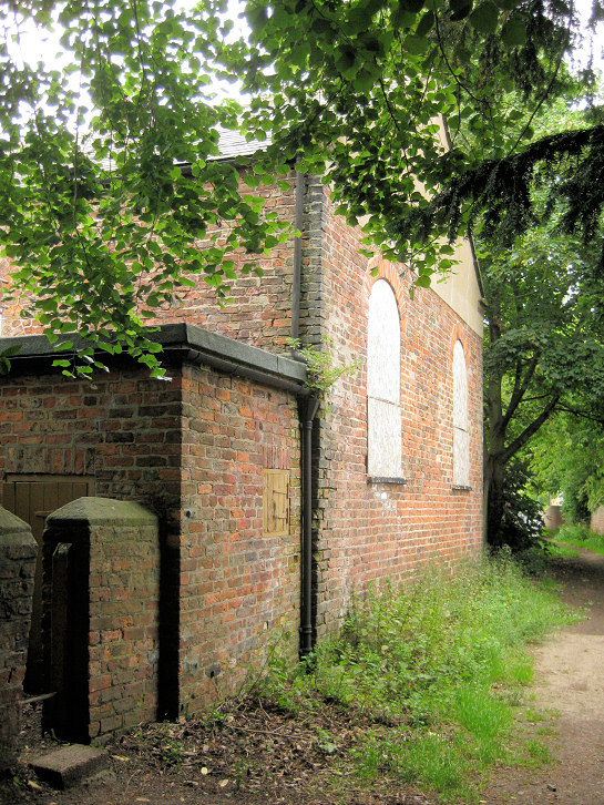
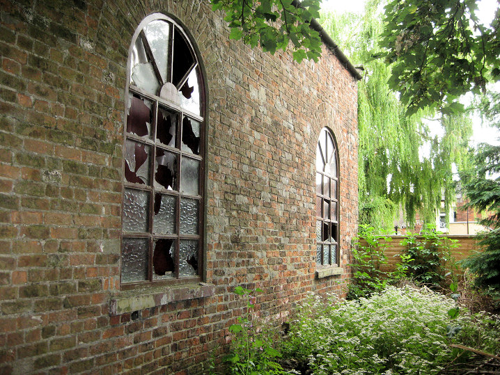
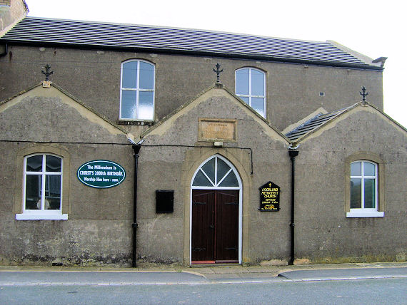
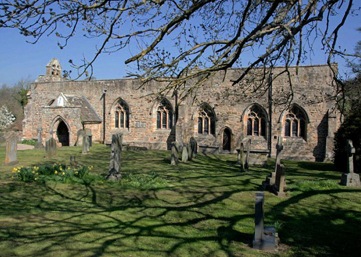
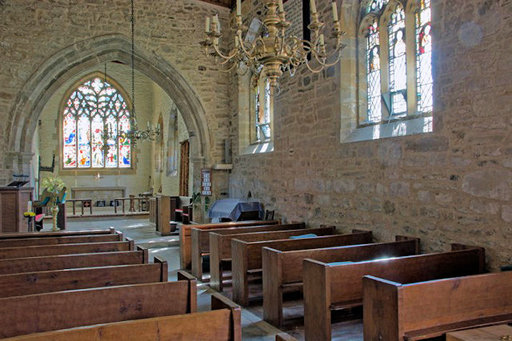
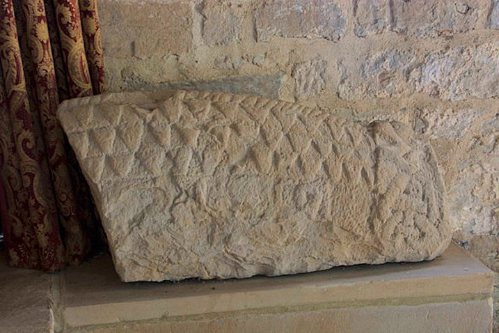