|
|
Cumbria
Cumbria
on Wikipedia.
Much of the Salvation Army information here is
from the Salvation Army Philatelic
and Historical Society (SAPHA). Photos
from them are acknowledged in the relevant entries.
There's a reference in Curious Cumbria
by Gordon Emery (p. 103, ISBN 978-1-872265-53-7) to a document written in
1515 which mentions "Solam Chapel in England". The context suggests
somewhere near the Scottish border. I've been unable to discover any
other references to it on-line and would be pleased to hear from you if
can throw any light on it.
Abbeytown,
St. Mary. The parish church is the remaining fragment (the nave) of Holme Cultram
Abbey (Cistercian). It was severely damaged by a fire on 9 June 2006. NY 1772 5082.
© Steve Bulman.
Link.
Grade I listed. The Methodist Church
was originally Wesleyan. NY 1726 5076.
© Steve Bulman.
Link.
The church was offered for sale in late 2018 or early 2019, and an
Estate
Agents notice (no longer available), said it was built in 1869, although
another
source says 1858. The 1937-61 1" O.S. map marks the site of
St. Christian's
Chapel on the south bank of the River Waver, at NY 1719 5174. It would have
stood somewhere near the distant hedge-line as seen in this
2011 Streetview.
Link. Rob Kinnon-Brettle advises that there is known to have been a Salvation Army
presence in the village in 1890, location unknown.
Aiketgate. The Civil Parish of Hesket in the
Forest - An Illustrated Miscellany, published to celebrate the Millennium,
mentions a Christian Brethren Gospel Hall, an
ex-army hut transferred from Gretna after WWI, and still active at the time of
publication. No available maps show it, I haven't been able to find an on-line
mention of it, and "travelling" on the local roads on Streetview doesn't show
any likely candidates for it. Do you know where it is or was?
Aikton,
dedicated to St. Andrew. NY 2825 5285. © Steve Bulman.
Link.
Grade I listed.
Ainstable,
St. Michael. NY 5300 4673. © Steve Bulman.
Link.
Grade II listed. The Methodist Chapel is at
Rowfoot, at NY 5258 4639, and can be seen on a 2010 Streetview
here. It's dated
here to 1860, as Wesleyan.
Aldingham, St. Cuthbert.
Interior view. SD 2834 7104. Both © John
Balaam (2008). Link.
Grade II* listed.
Allhallows,
All Hallows.
NY 1973 4251. © Steve Bulman.
Link.
Grade II listed. The church was built in 1898,
replacing the
old
church, © Graeme Rumney, dating from Norman times. NY 2037 4184. Link1.
Link2.
Grade II listed.
Allithwaite, St. Mary. Its
grade II listing dates it to 1865. SD 3856 7677.
Link.
A
house now stands on the site
of the 1919 Congregational Church (later U.R.C.) on
Vicarage Lane at SD 3866 7663. Closed in 2002, it survived long enough before
demolition to have been seen by
Streetview in 2009. Whether anything survives of the chapel is not known,
but it looks unlikely. Both © Alan Marsden (2021). This
source says there was a Kingdom Hall of Jehovah's
Witnesses here from 1985-2009. I haven't been able to discover exactly
where this was. The same source
also mentions a Roman Catholic house of Augustinian nuns at Boarbank Hall
from 1921. The hall is a short distance west of the village at SD 3787 7651,
and it was seen by
Streetview in 2021. The nuns are still present, calling themselves the
Canonesses of
Augustine on their website.
Allonby,
Christ Church. NY 0804 4231. © Leslie Mikesell Wood.
Another view, © Alan Blacklock.
An old drawing made by Thomas Bland in the 1850's is available
here, reproduced by kind permission of
Carlisle Library. It's from the searchable Cumbria Image Bank, which can
be accessed here.
Link.
Grade II listed. The former Congregational Chapel
is now in residential use.
NY 0816 4332. © Alan Blacklock. The
date-stone for 1844, © Steve Bulman (2020).
The former
Friends' Meeting House
stands a short distance north of the Congregational Chapel, at NY 0817 4336.
© Steve Bulman (2020).
Grade II listed. Their burial
ground is about 300 yards further north, at NY 0814 4362. ©
Kevin Price (2023).
Alston.
Ambleside.
Anthorn, the former
Congregational Chapel of 1869. NY 1935 5817. © Steve Bulman.
Appleby.
Arlecdon,
dedicated to St. Michael, which stands some distance from the village. © John O'Neill. NY 0522 1987.
Link.
Grade II listed.
See
here for the listed war memorial and lych-gate. Despite a
closure news item in 2014 (no longer available), the church is still active.
Armathwaite,
Chapel of Christ and St. Mary. NY 5059 4620. © Steve Bulman. Two interiors - 1,
2, and a William Morris window, all © Chris Stafford (2013).
Link.
Methodist Church.
The 25" O.S. map of 1900 labels it as Free United. NY 5096 4598. © Steve
Bulman.
Link. Armathwaite Nunnery - see Staffield, below.
Arnside.
Arthuret, St. Michael, the parish
church of Longtown. NY 3794 6767. © Steve Bulman.
Another view, © Bill Henderson. Link.
Grade II* listed. Numerous churchyard monuments are listed separately - they
can be found
here.
Asby, the house
on the site of the demolished Mission Hall, seen by Streetview in 2022. It's
dated here
to 1875. NY 0609 2024.
Askam-in-Furness, the former Church of
Christ Meeting House on Crossley Street. Kevin Price advises that it closed in
1956, and subsequently became St. Anthony (R.C.), which closed in 2009, and was
then converted into a house. It has a date-stone for 1907. SD 2136 7772. The
Methodist Church is on Duddon Road.
The church website dates it to 1870, although the building has a date-stone for
1909 - this perhaps records the addition of the projecting entrance. SD 2133
7779. The Community Centre on Duke Street is a
former United Methodist
Chapel of 1878. Another view. SD 2132 7727. The village also has a
former
Primitive Methodist Chapel called
Zion, on Beach
Street, at SD 2119 7749. It has been converted to residential use. Its My Primitive Methodists
entry dates it to 1870-1985. All © Alan Marsden (2021). Kevin Price also
advises of a Gospel Hall which stood on Duke
Street, closing circa 2005 and subsequently demolished. I've been unable to
locate it's position. Rob Kinnon-Brettle advises that there is known to have
been a Salvation Army presence in the
village at one time, location unknown.
Askham, St. Peter, of 1832, on the
site of an earlier church. NY 5181 2386. ©
Philip Kapp. Another view,
the date-stone,
four interior view - 1,
2,
3,
4, and the
font, all © Chris Stafford (2013).
An old drawing made by Thomas Bland in the
1850's is available here, reproduced by kind permission of
Carlisle Library. It's from the searchable Cumbria Image Bank, which can
be accessed here.
Also available is a drawing of the preceding
medieval church, which
according to this
source, was St. Kentigern. Assuming it's a realistic drawing, and that it
was still standing when Bland drew the then new church, then it must have been
at a slightly different location, though not too far away as it stands in the
graveyard.
Grade II* listed. Several monuments in the churchyard are listed separately
- they can be found
here.
Aspatria.
Backbarrow,
Hebron Hall (Open Brethren) on Brow Edge Road. © Kevin Price (2020).
Link.
Bampton, St. Patrick. Two interior views - 1,
2, and the early font (on a modern stand). NY 5215 1804. All © Dennis
Harper (2012). Link.
Grade II* listed. The former
Wesleyan
Chapel (now a private residence). NY 5181 1768. © Philip Kapp.
Banks, Primitive Methodist Chapel (1874).
NY 5656 6482. © Bill
Henderson. The My Primitive Methodist website
entry calls this Calees P.M. Chapel, and gives a closure date of 2004. A
2010 Streetview.
Barbon,
dedicated to St. Bartholomew (1893). SD 6306 8247. © Steve Bulman.
Another view, © Alan Blacklock, and another, © Bill McKenzie (2011).
Another view, interior view, a
window, and two fonts - 1, 2, all © Dennis Harper (2011).
Link.
Grade II* listed.
Old maps (e.g. the 1898 25" O.S. map) show a disused church immediately north of
the present church, and in the grounds. Shown as a complete outline, and
presumably still standing at the time, the
Wikipedia entry says that today all that survives is the porch, now used as
a shed. SD 6304 8250. I haven't been able to find a photo of the old church, and
Streetview doesn't give an unequivocal view of the surviving fragment. The former
Wesleyan Methodist Chapel, now in residential use.
SD 6279 8252. © Dennis Harper (2011).
Bardsea, Holy Trinity (1843). Interior view, and the
East Window. SD 3010 7455. All © John Balaam (2012).
Link.
At nearby Sunbrick is a former Friends'
Burial Ground. SD 2864 7389. A
plaque commemorates the burial here of the second wife of George Fox,
Margaret. Both
© Alan Marsden (2022).
Barras - see
Stainmore.
Barrow-in-Furness.
Barton, St. Michael. A most interesting church,
with what Pevsner describes as a transverse
tunnel-vault. NY 4875 2638. Both © Steve Bulman.
Another view, the
churchyard gate (the war memorial),
two of the interior - 1,
2, the
chancel, a
window, and the two fonts -
1,
2, all
© Chris Stafford (2013).
An old drawing made by Thomas Bland in the 1850's is
available here, reproduced by kind permission of
Carlisle Library. It's from the searchable Cumbria Image Bank, which can
be accessed here.
Link.
Grade I listed.
Bassenthwaite, St. Bega, stands on the shores of Bassenthwaite Lake. The
location is idyllic. It's labelled
on older O.S. maps as St. Bridget. Interior view. NY 2266 2875. All © Steve Bulman.
Link.
Grade II* listed.
St. John
(1878) stands near
Bassenthwaite village. NY 2290 3159. © Les
Strong. Another view, © Alan Blacklock. Link.
The 1900 25" O.S. map shows a Sunday School Formerly Church a short
distance west of St. John's. Although it isn't clear which building it is
referring to, it must surely be
this one seen on the 2009 Streetview. This would make its grid reference NY
2278 3164. Its
grade II listing dates it to 1805, replacing an earlier chapel.
Bassenthwaite Methodist Church stands at NY 2295 3216. The 25" map marks
it as Wesleyan, and it can be seen on 2021 Streetview
here.
This
source says that it was originally Primitive Methodist, of 1868, and sold to
the Wesleyans in 1882. Link. Less than
half a mile S.E. of St. Bega stands Mirehouse. At one time it had a chapel on
the first floor of a small extension at the rear of the building. Demolished, I
haven't been able to find a photo or illustration of it. NY 2320 2837.
Beaumont, St. Mary. NY 3480 5929. © Steve Bulman.
An old drawing made by Thomas Bland in the 1850's is available
here, reproduced by kind permission of
Carlisle Library. It's from the searchable Cumbria Image Bank, which can
be accessed here.
Link1 (has an
interior photo). Link2.
Grade II* listed.
Beckces (or
Beckses), the former (or site of the former) Wesleyan
Methodist Chapel, as seen by Streetview in 2009. The small porch has
since been extended - 2022
Streetview. It's dated
here
to 1840, and went out of use before 1936. NY 4190 2779.
Beckermet, St. Brigit, which stands
about half a mile SSW of the village.
Interior view.
NY 0149 0607. Both © Jill Coulthard.
Link.
Grade II* listed. St. John.
NY 0189 0672. © Jill Coulthard.
Another view of St. John, ©
Malcolm Minshaw.
Grade II listed.
Beckfoot (Eskdale), St. Catherine.
NY 1759 0026. © Alex Parker.
Link.
Grade II listed.
Beckfoot (between Sedbergh and Tebay), the former Methodist Chapel, now a private residence.
Maps show it as Methodist Chapel (Primitive) in 1898, and Beck Foot
Methodist Church in 1977.
Another view. The date-stone for
1872. SD 6151 9654. All © Howard Richter (2016). An
Estate Agents sale notice (pdf) has interior views, though nothing remains
to hint at its former use.
Beckfoot (south of Silloth), the
former Friends Meeting House, now converted to residential use. An information
board in the adjacent burial ground dates the first building on the site to
"probably after 1689", with a re-build in 1745. It was closed in 1940, though
was later used by a Methodist congregation until 1968, conversion following
thereafter. NY 0929 4959. © Steve Bulman (2018).
Beckside, St. Cuthbert - see Kirkby Ireleth, below.
Beetham, St. Michael and All Angels. SD
4961 7957. © Elaine Hindson. Another view, ©
Philip Kapp. Interior view, © John
Balaam (2017). An old drawing made by Thomas Bland in the 1850's is available
here, reproduced by kind permission of
Carlisle Library. It's from the searchable Cumbria Image Bank, which can
be accessed here.
Link.
Grade I listed. The 1898 25" O.S. map labels a building as Temple Bank On
Site of St. John's Chapel. I think it can be seen in the background
here, just glimpsed on the
2011 Streetview. SD 4969 7949. The only mention of it on-line I can find is in
my transcription of an old directory - see
here, but
it doesn't offer anything of much help.
Beldy (near Garrigill),
the former Wesleyan Methodist Chapel, as seen by Streetview in 2016. It says
here that it has a date-stone for 1859. NY 7426 4205.
Bewcastle, St. Cuthbert. © Steve Bulman. NY 5654 7456. Link.
Grade II* listed. The Knowe
U.R.C. stands at quite a distance from Bewcastle, nearly 3 miles to the
north-west, serving the local farms. Three interior views -
1,
2,
3. Originally Presbyterian,
it's dated here
to 1901, successor to an earlier chapel of 1790. NY 5332 7797. All © Alan Marsden (2021).
Bigrigg, St. John. NX 9978 1382. ©
Malcolm Minshaw. Link.
The 1899 25" O.S. map marks a Meth. Chap. (Free Un.)
on Chapel Street, at NY 0004 1334. It hasn't survived, and its site (roughly
half way along the row of bungalows) can be seen on a
2009 Streetview.
Link.
Birks, former Chapel. Two further views - 1, 2.
This used to be a famous Sandemanian/Inghamite
Chapel (there are transcribed records for 1754-1807). Subsequently Independent,
it continued in use until 1836, but was described as "ruinous" in an 1851
directory. The recorded dates for the two sects overlap, so they may have shared
the building, or the Independents may have had another building or room nearby,
and later moved into the former Sandemanian chapel. Kevin Price, who has visited
the building, says it is now used as a barn, and looking through a crack in the
door, saw evidence of where the pulpit once was. He also advises that the font
was eventually transferred to Kendal Inghamite Chapel in 1938. This short
history composed from the researches of Howard Richter and Kevin Price. NY 7190 1510. All © Tim Flitcroft (2011).
Link.
Blackford,
St. John the Baptist. NY 3962 6248. © Steve Bulman.
Another view, and an interior view, both © Alan Blacklock.
Link.
Grade II listed.
Blagill,
the site (the dirt track by the roadside) of the demolished
Primitive Methodist Chapel, as seen by Streetview in 2021. It's dated
here (where there is a photo) to 1862, and had gone out of use by the mid-20th century. NY 7393 4736.
Blawith,
the former St. John the Baptist, which was closed in
1988. It was subsequently transferred to the Churches Conservation Trust, who
later decided to sell it for residential conversion.
Another view. SD 2887 8834. Both ©
Kevin Price (2020). The substantial remains of the predecessor church of the
same dedication stands a little way to the south, at SD 2882 8823. With walls
still standing several metres high, the
grade II listing dates it to the 16th century, with a re-build in 1749. It
can just be seen in a 2016
Streetview.
Bleatarn,
Chapel of Ease (to Warcop
parish church). NY 7278 1375. © Martin Richter (2011). Three further views - 1, 2,
3, all © Tim Flitcroft (2011). Link.
Marked on some OS maps at NY 7223 1323 is a "Place of Worship", though nothing is
visible except this inscribed stone
which declares "Bleatarn Chapel". By studying old maps, Howard Richter
suspected that it was built after 1899, but certainly before 1915, when it is
shown as Wesleyan Methodist; an article Howard found implied 1903 (link
- no longer working). A local informant advised that this was a "tin tabernacle", and that it closed in the late 1980's. © Martin Richter (2011).
Blencarn, the former Wesleyan Methodist Chapel (1840 - date-stone),
now converted to residential use. Note the carved heads in the boundary wall - a close-up of one. Isobel White
(who lives in this cottage) has been in touch to say that this head, and its companion, were carved by her father, clearly a skilled mason. The date of closure is currently uncertain, but seems to be post-1962/3, when it appears as a "+" on the OS map of that vintage. Two
additional views - 1, 2. NY 6384 3115. All © Howard Richter (2014).
Blennerhassett, the former
Congregational Chapel at NY 1800 4157, as seen on a 2009 Streetview. It's shown
as Congregational on the 25" O.S. map of 1900. The same map also shows a
Primitive Methodist Chapel at NY 1775 4145. A
tin tabernacle survives on the same plot of land, as seen
here on a 2010 Streetview.
Whether this is the original P.M. Chapel, or a later replacement, is not known
at the moment. Kevin Price has advised that this is currently Blennerhassett
Evangelical Mission.
Blindcrake,
the former Primitive Methodist Chapel. It has a date-stone for 1894. NY 1476 3461. © Kevin
Price (2020).
Link. The immediately adjacent building (now a house and the village hall)
is marked on the 1900 25" O.S. map as a Mission Room.
It can be seen here on a
2025 Streetview. NY 1476 3460.
Bolton (near Appleby),
All Saints. A remarkable carving (attributed as Norman
by Pevsner) of two
knights on horseback. NY 6393 2342. Both © Philip Kapp.
An old drawing made by
Thomas Bland in the 1850's is available here, reproduced by kind permission of
Carlisle Library. It's from the searchable Cumbria Image Bank, which can
be accessed here.
Link.
Grade I listed. Methodist
Church, originally Wesleyan. NY 6367 2325. © Philip Kapp.
Bolton Low Houses,
former chapel, now a private residence. Janet Gimber advises that this was
Wesleyan Methodist. It's dated
here to 1881, possibly incorporating fabric from a known predecessor of
1817, shown to have been on the same site by a map of 1868. NY
2375 4434. © Philip Kapp. The 1901 6" O.S. map has a label for a
Mission Room at Brough Hill, a short way
west of Bolton Low Houses. Not indicating precisely which building is meant,
Streetview reveals that the
building was still standing in 2009. We can then determine the grid reference as
NY 2351 4417. A short distance south of the village is the site of a
Friends' Meeting House, NY 2386 4416. The
rectangular boundary wall can be seen
here on a 2025 Streetview -
the building itself stood at the rear left corner. A photo of a date-stone of
1700 for the burial ground can be seen
here. This
source
dates the meeting house to 1702, with closure in 1874 and demolition in 1904. A
Primitive Methodist "preaching place" is listed
here, but it's location is unknown.
Boltongate,
All Saints. NY 2296 4077. © Steve Bulman. Link1.
Link2.
Grade I listed. The churchyard war memorial has a
grade II listing.
Bootle.
Borrowdale, St. Andrew. Older maps label it as Holy Trinity.
Two interior views - 1,
2, and the
font. NY 2580
1399. All
© Steve Bulman (2025).
Link. The
About Us tab
dates it to a re-build in 1762 of a chapel of ease of 1687, replacing a
predecessor (location not mentioned) recorded in 1505. A transcription of a
newspaper (the Carlisle Patriot, 17 April 1824) has the following -
Last week, while the workmen were
employed in pulling down the old chapel in Borrowdale, they discovered a
freestone with 1125 cut upon it in very legible characters, which, no doubt,
indicate the year the building was erected. The same stone also contains an
inscription, but in consequence of several of the letters being effaced it has
not yet been deciphered. I've not been able to find mention of this anywhere
else, so don't know where it was - can you advise?
Bothel, an old Wesleyan Methodist chapel
(1840), in
the process of demolition. NY 1818 3896. © Philip Kapp.
Link. The 25" map of 1900 also shows a Primitive
Methodist Chapel at NY 1822 3884. Not noticed by the My Primitive
Methodist website, and passed by the Streetview van, this
source provides a date of 1836, and the fact that it has been demolished. It
stood on the right side of the lane, as seen
here by Streetview in 2017.
Bowness-on-Solway,
St. Michael. NY
2237 6265. © Steve Bulman. An
old postcard view from the
collection of Alan Bulman.
An old drawing made by Thomas Bland in the 1850's is available
here, reproduced by kind permission of
Carlisle Library. It's from the searchable Cumbria Image Bank, which can
be accessed here.
Link.
Grade II* listed. The war memorial in the churchyard is also listed, at
grade II. The tiny former Wesleyan
Methodist Chapel dates from 1872, as the Wesleyan Home Mission Chapel. NY 2247 6277. © Steve Bulman. Link1.
Link2. The Salvation Army were in the village
from 1901, based in what is today Lindow
Hall. NY 2231 6269.
© Salvation Army Philatelic and Historical Society (SAPHA).
Bowness-on-Windermere,
St. Martin. SD 4025 9690. © Paul Brown. Three interior views -
1,
2,
3, the
east window (reputedly removed from
Cartmel Priory), a
text relating to the
Gunpowder Plot, and
the font, all © Steve Bulman
(2022). An old drawing made by Thomas Bland in the
1850's is available here, reproduced by kind permission of
Carlisle Library. It's from the searchable Cumbria Image Bank, which can
be accessed here.
Link.
Grade I listed. A tomb in the churchyard is listed as
grade II. The Methodist Chapel
on Lake Road was originally Wesleyan. SD 4056 9722. © Steve Bulman. Kevin Price
advises (2010) that this has recently closed, and was now the
Lakes Christian Centre, which announced in
2020 that "From 12th June 2020 Lakes Christian Centre will no longer be based in
the Bowness Methodist Church", but doesn't say where they are moving to. In
fact they moved to Windermere, for which see the
Windermere page.
Gospel Hall (Open Brethren, 1839)
on Bank Terrace. Another view -
the small sign by the door reads "Chapel House". SD 4052 9711. Both © Kevin
Price (2020). The cemetery on Glebe Road has a small
Chapel (still in use), which
probably dates from 1856, when the cemetery was opened.
Another view. SD 4006 9629. Both
© Kevin Price (2020).
Braithwaite,
St. Herbert, originally a Mission Room. NY 2320 2371. ©
Dave Westrap.
Link. The former
Methodist Chapel is no longer used by the Methodists. However, Keswick's Orthodox Church (Community of St.
Bega, St. Mungo and St. Herbert) holds services here every Sunday. The 1899 25"
map marks this as Wesleyan, and it alsoshows on a map of 1867. Another view. NY 2294 2361. Both © Martin
Richter (2011).
Link.
Brampton (near Carlisle).
Brampton (near Appleby), the
former Espland Hill Wesleyan Methodist Chapel, now converted to residential use.
Another view. According to
this
source, its dates are 1866-1996. NY 6853 2309. Both © Howard Richter (2014).
Brathay, Holy Trinity. NY 3621 0330. © Steve Bulman.
Another view, © John Balaam (2017).
Link1.
Link2.
Bridekirk, St. Bridget
(1868-70). NY 1164 3369. © Steve Bulman.
Link1 -
which includes numerous photos, including some of its chief treasure, a superb
Norman font. Link2.
Grade II listed. According to the 1902 6" O.S. map there was an earlier St.
Bridget, on a slightly different site in the churchyard, at NY 1168 3371.
Briggflatts, Quaker Meeting
House. It has a date-stone for
1675. Another view, and three of
the interior - 1,
2,
3. SD 6409 9115. All
© Chris Stafford (2013).
Link.
Brigham,
St. Bridget. The
tower.
NY 0858 3092. Both © Steve Bulman.
Interior view, © Jill Coulthard. Another view, © Ian Lewis. Link.
Grade I listed.
News item (2014).
The Methodist Church stands on the High Brigham at
NY 0890 3032. Seen on Streetview
in 2009, old maps show that it was originally Wesleyan.
Link, which
dates it to 1856.
Bromfield,
St. Mungo. NY 1759 4704. © Pauline Robson.
Another view, © Elizabeth Nash. And
another, © Alan Tunstall. Link1.
Link2 has interior photos.
Grade I listed.
Brough.
Brough Sowerby, Methodist
Church. NY 794 128. © Martin Richter (2011).
Link.
Brougham, St. Wilfrid's Chapel. NY 5276
2841. © Steve Bulman. An old postcard
view, from Steve Bulman's Collection.
An old drawing made by Thomas Bland in the 1850's is available
here, reproduced by kind permission of
Carlisle Library. It's from the searchable Cumbria Image Bank, which can
be accessed here.
Link.
Grade II* listed. St. Ninian (aka Ninekirk's), and a
cross. Impressive
wood carving. NY 5594 2997. All © Steve
Bulman. Bland also drew St. Ninian, reproduced by kind permission of
Carlisle Library. It's from the searchable Cumbria Image Bank, which can
be accessed here.
Link.
Grade I listed.
Broughton (Great and Little).
Broughton-in-Furness, St.
Mary Magdalene. SD 2093 8738. © Jill Coulthard.
Two interiors - 1, 2, and two windows -
1, 2, all © John Balaam (2014).
Link.
Grade II listed. Some churchyard monuments and a sun-dial are listed
separately, and can be found
here. Methodist Church
(1875) on Prince's Street, built as Wesleyan. SD 2123 8753. © Steve Bulman (2014).
Link.
Broughton Mills, Holy
Innocents (1888, O). A 2024 Streetview provides
another view. SD 2233
9090. A clock in the porch
is an unusual feature. Both photos © Kevin Price (2026).
Link.
Broughton Moor, St. Columba
(1905) on Church Road. NY 0534 3341. © Steve Bulman (2006).
Grade II listed. A Methodist Church
stands nearby at NY
0532 3346. It was originally Wesleyan (source). © Steve Bulman (2006). One further church
shows on the 1976 O.S. map at NY 0503 3333. Older large scale maps label it as
Primitive Methodist. An old photo of it can be seen
here, where it's dated to 1861. The building on the site today (2021
Streetview) is either a replacement, or the chapel has been altered beyond
all recognition. A map of 1867 shows a Wesleyan Methodist
Chapel on Church Road, at NY 0534 3348. Presumably the predecessor of the
present Methodist Church, it has long been demolished, and other buildings built
on its site. One of these is labelled as Mission Room
on a map of 1900, and is the blue painted building in a
Streetview from 2021;
it, and the building beyond it, stand on the site of the Wesleyan Chapel.
Burgh-By-Sands, St. Michael. NY 3287 5911. © Steve Bulman.
Another view, © Philip Kapp. An
old drawing made by Thomas Bland in the 1850's is available
here, reproduced by kind permission of
Carlisle Library. It's from the searchable Cumbria Image Bank, which can
be accessed here.
Link1.
Link2.
Grade I listed. Perhaps surprisingly, for a village of this size, there
doesn't appear to have been a nonconformist presence.
Burneside, St. Oswald. Another view, and a
door. SD 5048 9573. All © Howard Richter (2011). The present building dates from 1880-1 (link), though Wikipedia
says there has been a church on the site since 1647.
Burton-In-Kendal,
St. James. SD 5305 7692. © Elaine Hindson. The
same
church taken in about 1900. © Anne Nichols.
Grade I listed. A small former private
Quaker burial ground survives on
Hilderstone Lane, at circa SD 5186 7662. This
source advises of its use by the Cumming family from 1687 to 1844. © Alan Marsden (2023).
Buttermere, St. James (1840). NY 1760
1703. © Bill McKenzie.
Another view, © Tom Halstead.
Grade II listed.
Caldbeck, St. Kentigern. NY 3255 3990.
© Steve Bulman.
Link.
Grade I listed.
Methodist Church, originally
Wesleyan. Although the My Wesleyan Methodist
entry dates it to 1863, it also includes a photo of a date-stone for 1832. NY 3220 4010.
© Steve Bulman. Another view, © Alan
Blacklock (2010).
Calder Bridge, St. Bridget (1842). NY 0417 0604. ©
Dave Westrap. Link.
Grade II listed.
Calthwaite,
All Saints. ©
Steve Bulman. NY 4694 4009. Link1.
Link2 (has an interior photo).
Cottage Wood Centre (Methodist). It has
date-stones for 1709 and
1905. Interior view. NY
4767 3889. All © Kevin Price (2020).
Link1, and its history
page, which explains that the earlier date-stone was recycled from the
predecessor chapel, built as Congregational, later Presbyterian and then
Wesleyan. Its precise location is apparently unknown (though see the Plumpton
entry, below).
Link2.
Camerton, St. Peter, which stands some
distance SW of the village. NY 0355 3006. © O. Messina.
Link.
Grade II listed.
News story (2020).
Cargo, Chapel Cottage at
Chapelhouse, as seen by the Streetview van in 2021. Spotted when driving
(without my camera), subsequent research has revealed nothing about this
possible former chapel, except that it's not marked as a place of worship on any
available maps, as far back as 1864. NY 3722 5948. There used to be a small
Wesleyan Methodist Chapel in Cargo village, at NY
3649 5912. This
source (which includes a photo) dates it to 1856/7, closing in 1968. It says it's
"doubtful whether any of the structure remains standing". Curiously, it isn't
shown on any of the available maps prior to the 1" of 1954, and the small scale
makes it difficult to decide exactly where it stood. The best I can say is that
it stood somewhere on the left hand side of the road seen by
Streetview in 2012.
Carlatton, the
site (in the field to the right, close to the road) of the long-vanished church,
as seen by Streetview in 2025, and as shown on O.S. maps. Note that this
source
says that its location is lost. NY 5275 5168.
Carleton, the disused chapel to the
Garlands mental hospital. NY 4321 5400. © Steve Bulman.
Cark, the former Methodist Church,
originally Wesleyan. SD
3646 7621. © Philip Kapp. Its
Genuki entry provides dates of 1904 - 2005.
Link.
Carlisle.
Cartmel, the priory, a splendid building
dedicated to St. Mary and St. Michael. Another view,
and a doorway. SD 3798 7880. All © Steve
Bulman. Another view, © David Regan
(2016). Link.
Grade I listed. The Methodist Chapel
(O) was originally Wesleyan. SD 3790 7872. © Steve
Bulman. Link.
The Friends' Meeting House of
1859 stands on Haggs Lane at SD 3824 7856. © Alan Marsden (2021).
Link.
Grade II listed.
Cartmel Fell,
St. Anthony. SD 4165 8807. © Steve Bulman.
Link
(has interior photos).
Grade I listed.
Casterton,
Holy Trinity (1831-3). SD 6246 7969. © Steve Bulman. Another view, © Mrs. Janet Dalby.
Two interior views - 1,
2, and a
window detail, all
© Chris Stafford (2013).
Link.
Grade II listed.
Castle Carrock, St. Peter
(1828, on the site of earlier churches). NY 5435 5541. © Steve
Bulman.
Link. A Primitive Methodist Chapel once stood
at NY 5419 5540. Built in 1899, it was closed "by 1965". Its site is now
occupied by a bungalow and garden, as seen
here in a 2011 Streetview.
There was also a Congregational Church, as marked
on the 6" 1901 O.S. map, at NY 5438 5534. Whether any or all of it survives is
not so far apparent. As closely as I can judge, it stood about where the white
building is in the background of this
2011 Streetview.
Castle Sowerby, St. Kentigern. NY 3800 3615. © Les Strong.
Link.
Grade II* listed. Castle
Sowerby Chapel (Evangelical). NY 3725 4110. © Alan Marsden (2024). The
earliest Streetview from
2009 shows it under construction. A Methodist Chapel
(originally Wesleyan) used to stand on the B5305 at NY 3726 4067. It's dated
here (entry number 2) to 1907. The entry is dated 2016, and it says that it
the chapel was closed and demolished "within the last few years". Its was seen
by Streetview in 2010,
but it had gone by 2021.
Catherine Holme (between Great Asby and Ormside), former Wesleyan Methodist Chapel (1879). It closed about 2006.
Another view. NY 686 152. Both © Tim Flitcroft (2011). Another view. The
building retains its original sign. Both © Martin Richter (2011).
Link (scroll right to the bottom).
Catterlen, the site of the
vanished Primitive Methodist Chapel, as seen by Streetview in 2021. Were the
ghost of this chapel to appear, it would be hanging in mid-air, as even the
ground beneath it was removed in the construction of the M6. It was roughly in
line with the properties in the middle distance, over what it now the hard
shoulder, or perhaps just to its left. It's dated
here to 1867. I've been unable to find a photo. NY 4906 3375. There is a
reference
here to "supposed site of abandoned church", but I've been unable to verify
this elsewhere, or discover where it might have been.
Causewayhead (near Silloth), St. Paul
(1845). NY 1310 5334. © Robert Mather. Another
view, © Elizabeth Nash. The church was closed in 2016. Two additional views
- 1,
2, two interiors -
1,
2, and the
font; the church has good
stained glass windows - 1,
2. All © Steve Bulman (2016).
Link.
The communion table was transferred to Christ Church in Silloth, and put in
place during 2021 refurbishments. Although not itself listed, the churchyard war
memorial is, as
grade II.
Cautley, St. Mark (1847, O). SD 6912 9458. © Bill
Henderson. The organ, © Alan Blacklock (2010).
Link1. Link2.
Grade II listed. The Methodist Chapel
of 1845, originally Wesleyan. SD 6895 9417. © Bill Henderson.
Another view, © Alan Blacklock (2010).
Link.
Grade II listed.
Chapel Stile (Langdale), Holy Trinity. Interior view.
NY 3209 0549. Both ©
Malcolm Minshaw. Two additional views - 1,
2, the
interior and
East window, all ©
John Balaam (2017).
Link1.
Link2. Older maps show a Mission Room at the
southern end of the village, at NY 3218 0531. The Streetview van
saw it in 2011. Dated
here to
"by 1897", it now serves as a village hall.
Churchtown - see Sebergham, below.
Cleator, St. Leonard. NY 0142 1347. © Malcolm Minshaw.
Link.
Grade II listed.
St. Mary (R.C.).
NY 0204 1410.
© Dave Westrap. Link. The 1899
25" O.S. map shows a Wesleyan Chapel on Kiln Brow
at NY 0166 1349. Still standing when the Streetview van passed in 2009, it can
be seen here. Built in 1844,
it has evidently been converted to secular use.
Link.
Cleator Moor.
Clesketts (south of
Hallbankgate), the former Primitive Methodist Chapel, as seen by Streetview in
2010. Unrecognisable as a former chapel, this
source dates it to 1870-1932. NY 5889 5866.
Cliburn, St. Cuthbert. NY 5877 2449. © Malcolm Minshaw.
An old drawing made by Thomas Bland in
the 1850's is available here, reproduced by kind permission of
Carlisle Library. It's from the searchable Cumbria Image Bank, which can
be accessed here.
Link
(has an interior photo).
Grade II listed. The 6" O.S. map of 1899 shows a
Wesleyan Methodist Chapel at the northern end of the village, at NY 5876
2486. The Streetview van passed by in 2010, and it's photo can be seen
here. This
source provides a building date of 1832 with closure in 1974. It was
subsequently converted to residential use.
Clifton, St.
Cuthbert - my thanks to Philip Kapp for confirming the dedication. NY 5319 2705. © Steve Bulman. Additional view, ©
Chris Stafford (2013).
An old drawing made by Thomas Bland in
the 1850's is available here, reproduced by kind permission of
Carlisle Library. It's from the searchable Cumbria Image Bank, which can
be accessed here.
Link1.
Link2.
Grade II* listed. The former Wesleyan
Chapel (now a private residence). NY 534 266. © Philip Kapp.
Cockermouth.
Colthouse, the Friends' Meeting House
of 1688, and an interior view
(taken through a window). SD 3588 9817. Both
© Alan Marsden (2021).
Link1.
Link2.
Grade II* listed.
Colton,
Holy Trinity. SD 3185 8605. © Jill Coulthard.
Link
(has interior photos). The
grade II listing provides a building date of 1578, with the tower added
in the early years of the following century, and transept in the 18th, restored
in 1890. However, this
source dates it to 1531-9, on the site of an earlier chapel.
St. Cuthbert's Well stands just a few
yards away.
© Alan Marsden (2021).
Coniston,
St. Andrew. SD 3025 9757. © Steve
Bulman.
Another view,
© Karel Kuča (2019).
Link.
Grade II listed. At one time the Mount Zion Primitive Methodist Chapel stood at SD 3012 9724. Shown on the 1890 OS map, it seems to have closed as a church before the
1913 edition, when it shows as "Hall". The
plaque from the chapel is now attached to the
Bluebird extension of the Ruskin Museum, and shows the date 1859. On the latter photo the plaque is visible
just above the gate, and to the right of the blue roller-door. What may be the chapel building is seen
here on Google. Both ©
Martin Richter (2015). Sacred Heart
(R.C., opened 1872) stands about a kilometre south of the village on the Torver
Road at Bowmanstead, at SD 2994 9673.
© Kevin Price (2020).
Link. A former
Baptist Church stands a short
distance north of the Catholic Church, at SD 3003 9685.
According to this
source, it was Baptist, later Plymouth Brethren, then Baptist again. It
closed in 1950 following a damaging flood.
Another view. Both
© Kevin Price (2020).
The former Exclusive Brethren Meeting
Room stands at the rear of the Sun Hotel, and (judging by appearances) is
either a carpenter's workshop or undergoing conversion. Kevin advises that the
meeting closed in 1972.
© Kevin Price (2020).
Corby and Corby Hill - see Warwick Bridge.
Corney, St. John the Baptist.
Another view.
Interior view. SD 1123 9132. All © Jill Coulthard. Another view, © Ian Lewis.
Link (has
an interior photo).
Cotehill, St. John
the Evangelist. NY 4694 5018.
Methodist chapel.
The 1900 25" O. S. map labels this as Methodist Chapel (Free United). NY 4683 5051. Link.
According to a
2020 news report, it was closed in 2018. Both © Steve Bulman.
Cowgill, St. John the Evangelist (1838). SD 7560 8695. © Mrs. Janet Dalby.
Another view, © Bill McKenzie (2011).
Two further views - 1, 2, two interior view -
1, 2, the altar, and the
attractive (presumably modern) font, all © Dennis Harper (2012).
Link.
Grade II listed. On old maps, a little way to the west, is marked a
Wesleyan Methodist Chapel, at SD 7542 8687. The
building visible on the site today (2016
Streetview) betrays no obvious signs of its Methodist roots, so whether
anything remains of the chapel itself is not known. The former
Lea Yeat Friends'
Meeting House,
at SD 7608 8689.
Two extra
views - 1,
2, and the
date-plaque for 1702-1912. All ©
Dennis Harper (2021).
Link1.
Link2.
Crackenthorpe, a small former
chapel (tin tabernacle). This is probably the Primitive Methodist chapel listed
in the 1940 index of
Methodist Churches. From map evidence, it may have still been active in the
early 1960's, but no other dates are easily discoverable. Kevin Price has
advised that this closed in 1972. NY 6553 2263. © Heather
Powell (2014).
O.S. maps mark the site of St. Giles's Chapel at NY
6666 2174. The site isn't visible on Streetview. A
source from 1848 says
that remains were still visible at that time.
Croglin, St. John the Baptist (1878). NY 5745 4727. The planned closure of this church was
announced in May 2009.
A 2023
news article says that it finally closed in 2012. © Steve Bulman.
Link. A
former Wesleyan Methodist Chapel of 1877 stands at
NY 5728 4720, and can be seen on a 2010 Streetview
here, apparently converted
to residential use.
Crook, St. Catherine, dates from 1882 or 1887, depending on the source consulted. SD 4508 9505. © Bill McKenzie. Two
further views - 1, 2, both © Martin Richter (2011).
Link1. Link2.
Link3.
It was preceded by an earlier St. Catherine on a different site. The main body
of the church was demolished in 1887, but the
tower was left standing.
SD 4499 9467. © Tim Flitcroft.
Grade II listed. The former
Independent Chapel (1866), which now looks to be a private residence. Two further views - 1,
2. From Howard's study of old maps, it appears that it ceased to be used as a chapel sometime between 1964 and 1987.
SD 462 952. All © Howard Richter (2011). My appreciation to Kevin Price, who has
advised that the Independent Chapel was Crook Congregational Chapel, which
closed in 1966. It was latterly linked to Zion U.R.C. (Congregational) Church in
Kendal. The site of the demolished
Quaker Meeting House, in the former Quaker burial
ground. It lies about 1˝ miles west of the hamlet. A small
plaque provides dates. SD 4389 9509.
Both
© Alan Marsden (2021).
Crosby, the former Primitive Methodist
Chapel of 1863, now a private residence. An old photo of the chapel can be seen
here. NY 0750 3842. © Philip Kapp.
Crosby Garrett, St. Andrew. NY 7299
0972. © Peter Amsden.
Link (includes an interior photo).
Grade I listed.
Previously in the "Unknown" section, thanks to Peter Marshall for identifying
this church. Link. United Church (Methodist and
Baptist) was originally Wesleyan, and dates from 1882. Another view. The Baptists from Mossgill moved
here after the closure of their chapel (below). NY 7287 0944. Both © Martin Richter
(2011). The former Mossgill Baptist Chapel, now a holiday cottage, which closed in 1992 (see this
link). NY 7293 0952. © Martin Richter (2011).
Link1. Link2.
Crosby-on-Eden, St. John
the Evangelist.
NY 4480 5959.
© Steve Bulman.
Link.
The
grade II listing says it dates from 1854, and replaced a medieval building
on the same site.
Crosby
Ravensworth, St. Lawrence.
NY 6215 1485.
© Steve Bulman.
An old
drawing made by Thomas Bland in the 1850's is available
here, reproduced by kind permission of
Carlisle Library. It's from the searchable Cumbria Image Bank, which can
be accessed here.
Another of his drawings supposedly shows the
church as it was in 1810.
Link1 (has an interior photo).
Link2.
Link3.
Grade I listed.
Methodist Church, originally Wesleyan (1875). Another view.
NY 6206 1436. Both © Martin Richter (2011).
Link.
Crosby Villa, the former
Primitive Methodist Chapel
(2009 Streetview), converted into housing. It's dated
here to no earlier than 1885 to 1969. NY 0922 3902.
Crosscanonby, St. John the Evangelist. In the church and churchyard are
some Anglo-Danish fragments, including this
hogsback
tombstone. The war memorial, a
cross-base, and lych-gate. NY 0691 3900. All © Steve Bulman (2020).
An old drawing made by
Thomas Bland in the 1850's is available
here, reproduced by kind permission of
Carlisle Library. It's from the searchable Cumbria Image Bank, which can
be accessed here.
Link1.
Link2
- an excellent article with numerous photos.
Grade I listed.
Crosscrake, St. Thomas.
The
church website gives the building a
date of 1870, replacing a medieval chapel-of-ease about 50 yards to the west.
SD 5237 8700.
© Mrs. Janet Dalby.
Link.
Crosthwaite (near Kendal), St. Mary. Another view, and an
interior view. SD 4460 9115. All © Martin Richter (2011).
Link.
Grade II listed.
Crosthwaite
(near Keswick), St. Kentigern. © Les Strong. NY 2574 2428. An old postcard view from Reg Dosell's Collection.
And an interior view, also from an old postcard, this one from Steve Bulman's Collection.
An old drawing made by
Thomas Bland in the 1850's is available
here, reproduced by kind permission of
Carlisle Library. It's from the searchable Cumbria Image Bank, which can
be accessed here.
Link.
Grade II* listed.
Culgaith, All Saints. NY 6103 2967. © Les Strong. Link.
Grade II listed. The former Wesleyan Methodist Chapel (1830) has an unusually ornate
date-stone. Closed in 2013, it is currently subject to a
planning application for conversion to
residential use. This related document
has an interior photograph. Two additional views - 1, 2. NY 6093
2970. All © Howard Richter (2014). Grade II listed.
Cumdivock, St. John the Evangelist. NY
3386 4876. © Steve
Bulman.
Link.
Cummersdale, St. James. NY 389 532. ©
Steve Bulman.
Cumrew, St. Mary
(1890) on the site of a medieval church. NY 5507 5032. © Steve Bulman. Link.
Grade II listed.
Cumwhinton,
the former Methodist
Free Church of 1904. This
source says it closed in 1965. The preceding chapel (pre-1851) is joined to
the rear of the present building, having a slightly lower roofline. NY 448 525. © Steve Bulman.
St. John's Hall can be seen on a 2009 Streetview
here. It hosts services on a
monthly basis. Circa NY 4506 5278.
Link.
Cumwhitton,
St. Mary, of ancient foundation, with, according to Pevsner, some re-used Saxon fragments,
otherwise largely Norman. NY 5062 5225. © Steve Bulman.
Grade II listed.
Just north-east of the village is a former Wesleyan
Methodist Chapel of 1873, at NY 5079 5256. Its
2011 Streetview shows it in
residential use.
Dacre,
St. Andrew. It stands on or near the site of an Anglo-Saxon monastery, mentioned
by Bede. Two more views - 1,
2, three views of the interior -
1,
2,
3, a fine
monument, two lovely modern windows
- 1,
2, the latter commemorating
Willie Whitelaw the one time Home Secretary, (Wikipedia)
and the Victorian font. There is
also an early font bowl, and some fragments of
a Saxon cross shaft in the church.
The list of incumbents commences in
1296. The church used to have a 17th century chained bible, stolen in 2019. NY 4600 2664.
All © Steve Bulman (2025).
Link.
Grade I listed. Some churchyard monuments (including the famous bears) are
listed separately - they can be found
here, with my photos here - 1,
2,
3,
4. There have been various
explanations of the bears - sanctuary markers, pre-Christian religious site
markers, or architectural fragments re-sited from the nearby Dacre Castle (the
latter seems to be becoming the consensus). All © Steve Bulman (2025).
Video about the bears. The 1900 25" O.S. map marks a Wesleyan Methodist
Chapel at NY 4578 2637. Now The Old Chapel, it can be seen on a
2016 Streetview here.
Dalston, St. Michael and All Angels
stands at the junction of Carlisle Road and Church Lane. Two additional
views - 1,
2, two of the interior -
1,
2, and the
font. NY 3693 5016. All © Steve Bulman
(2017).
Link1. Link2.
News item (2020).
Grade II* listed.
Methodist
Chapel (1851). The 25" 1900 O.S. map
labels it as Wesleyan. NY 3686 4972. © Steve Bulman.
Link. A "History Man" article Tracing the lost chapels of Cumbria, in
the Cumberland News of 20 March 2020 discusses a medieval chapel, all trace of
which has been lost. It was St. Wynemius, mentioned in a document of 1343, and
is supposed to have been located in a field called Chapel Flat. If you know
where Chapel Flat is, I'd be pleased to hear from you.
Link.
A map of 1868 shows Old Methodist Chapel (Wesleyan)
on a courtyard behind the buildings fronting onto the main road through the
village. As so often with the earliest O.S. maps, it's unclear exactly which
building the label is meant to apply to. Its entry
here dates it to 1840, closed "by 1873". It also has a photo of a possible
house on its site, but it isn't visible on Streetview. Its grid ref. will be
circa NY 3686 5014.
Dalton-in-Furness.
Dean, St. Oswald. NY 0708 2537. © O. Messina. Another view, © Ian Lewis.
Link.
Grade I listed. A cross in the churchyard is listed separately, as
grade II.
Dearham, St. Mungo. NY 0724 3640.
© Steve Bulman. An old drawing made by Thomas Bland in the 1850's is available
here, reproduced by kind permission of
Carlisle Library. It's from the searchable Cumbria Image Bank, which can
be accessed here.
From the same source is a drawing
of a churchyard cross.
Link.
Grade I listed. Methodist
Chapel on Main Street of 1839 (as Wesleyan), re-built in 1888. A
news item from 2023 mentions a change of use application (to residential
use), and implies closure subsequent to 2015, when flood damage was sustained. NY 0719 3601. © Steve Bulman. Link.
The village also once had a Primitive Methodist Chapel,
which shows on the 1900 6" O.S. map, on Main Street at NY 0711 3607. I think
the property now standing on the site is the white painted one
here (2011 Streetview),
behind the telegraph pole, or it may possibly be the adjacent bungalow. The My
Primitive Methodist
entry dates it to 1856, and the closure would seem to have been between 1960
and 1967. The Salvation Army is known to have had a
presence here in 1890, based in the Temperance Hall on The Went. This
source
dates it to 1876, and old maps show that it had gone before 1966. Its site was
seen by Streetview in 2011.
NY 0702 3605.
Dendron, St. Matthew.
Another view. SD 2466 7067. Both ©
Martin Richter (2011).
Link.
Grade II listed.
Dent,
St. Andrew. SD 7052 8704. © Mrs. Janet Dalby.
Another view, and the
interior, both © Alan Blacklock.
Another interior view, © James Murray.
Three additional interiors - 1,
2,
3, and the two fonts -
1,
2, all © Dennis Harper (2016).
Link.
Grade I listed. Methodist Church, built as Wesleyan in 1834. © Mrs.
Janet Dalby. Another view and an interior view, both © Alan
Blacklock. It's coat of paint had been removed before the Streetview van went
past in 2016.
Grade II listed. The village also had a Primitive
Methodist Chapel, at SD 7033 8712, as shown on the 1909 25" O.S. map.
This source
provides dates of 1841-1934. Whether any fabric of the building survives is not
at present, apparent. A Streetview of 2016 shows the building it has been
converted into, or has replaced it - the cream painted building at left
here. The same map also
notices Zion Chapel (Congl.) at SD 7041
8685. It can be seen on a 2011 Streetview
here.
Denton. Dedicated to St. Cuthbert.
It was built in 1868-70, on an ancient site. NY 6156 6552. © Keith Atkinson.
Grade II listed.
Distington, Church of the Holy Spirit. NY
0042 2360. © Steve Bulman.
Grade II listed. The 1900 25" map marks an "Arch" This is the chancel arch
of the medieval church, at NY 0041 2363. A photo can be seen by Googling using
these search terms "Distington cumbria old church chancel arch", and a photo
will appear at the right. Clicking it is unproductive, as the site it points to
is no longer being maintained, and it doesn't include the photo.
Grade II listed. Methodist Church
(Wesleyan, 1830). NY 0061 2345. © Steve Bulman. The former Primitive
Methodist Chapel at Common End, now a private residence. The My Primitive
Methodists
entry dates it to 1839, with closure "by 1980". NY 0047 2265. ©
Philip Kapp.
Dodding Green, St. Robert and St.
Alice (R.C., 1723). Built into a house, the chapel was in the attic. A
comprehensive history can be seen
here. The house is now home to a branch of
Cenacolo. SD 5333 9537. © Alan Marsden (2021).
Link. A BBC news
item in 2026 records a potential change of use to an respite centre for
former addicts.
Dovengill, the former Friends' Burial Ground. According to this
source, "an earlier Meeting near Dovengill with an adjoining burial ground first used in
1659", which implies a now vanished adjacent building. Two additional views - 1,
2. SD 728 993. All © Martin Richter (2013).
Drigg, St. Peter. SD 0705 9921. © Steve
Bulman. Link.
Dufton, St. Cuthbert, which stands about
3/4 of a mile NNE of the village. Medieval, with a re-building in 1784, and internal restoration in 1853. Four additional views -
1, 2, 3,
4. NY 6848 2620. All © Howard Richter
(2014). Two interior views - 1,
2, both © Alan Marsden (2023). An old drawing made by
Thomas Bland in the 1850's is available
here, reproduced by kind permission of
Carlisle Library. It's from the searchable Cumbria Image Bank, which can
be accessed here.
Although clearly labelled Dufton Church and Pike, this drawing is a bit
puzzling. It's clearly a different building to today's church, but the only
recorded re-build was in 1784 - the 1853 restoration was internal only. Was this
perhaps an imaginative re-creation of how the church might have looked before
the 1784 re-build? And if it is, did he have any sources on which to base his
drawing?
Link1 (with interior
photos).
Link2.
Link3.
Grade II listed.
Dufton with Knock Methodist Church, built as Primitive Methodist in 1905. Another view. NY
6911 2503. Both © Howard Richter (2014).
Link. It was successor to an earlier P.M. chapel of 1839 or 1840
(according to source consulted) which was still extant as a church in 1898, when it shows on a map of that
year. What appears to have been a date-stone above the (apparently enlarged) doorway is completely blank - de-faced or weathered. Two additional views -
1, 2, and a view of the
interior. NY 6942 2479. © Howard Richter (2014). The former Wesleyan Methodist Chapel (1820), now a private residence (converted in 1935/6).
Another view. For the story of the statue, see here. NY 6893
2503. Both © Howard Richter (2014).
Dundraw, the former Mission Hall, which can be seen
on a 2009 Streetview here.
NY 2171 4958. Marked on a 1926 map just south of the village is "Church
Room", but whether it was ever used for worship is unknown. Its 2009
Streetview is here. NY 2152
4971.
Eaglesfield, St. Philip, is the
parish church for Mosser parish. It also
serves as the John Dalton
Memorial Church. For Old St. Philip, see Mosser. NY 1068 2805. © Steve Bulman.
The former Quaker Meeting House
of 1711. It was
sold in 1973 and subsequently converted to residential use. Kevin Price advises
that it was never a venue for regular meetings, but was built for funerals only.
NY 0932 2804. © Alan Marsden (2021).
Grade II listed. The village also had a Methodist
Chapel, built as Wesleyan in 1845 and closed "by 1980's" (source).
Its My Wesleyan Methodists
entry says that its site "probably lies
under what is now a grassed open space", but an examination of old maps clearly
shows that the building at the left
here, in a Streetview of
2016, stands on its site. Whether any fabric of the chapel survives in unclear. NY 0949 2811.
Eamont Bridge, the village hall on the site of the demolished
St. John's Mission Hall, as seen on an external
website (scroll down).
Another page describes it as a corrugated iron and wood structure, and dates
it to 1871-1932. NY 5224 2859.
Easton, the site
(just behind the nearest trees) of the long-vanished Chapel at Chapeltown, as
seen by Streetview in 2021. It's mentioned
here as dating to the 13-14th centuries. NY 4326 7151.
Edenhall, St. Cuthbert. NY 5689 3205. © Les Strong. An old drawing made by Thomas Bland in the 1850's is
available here, reproduced by kind permission of
Carlisle Library. It's from the searchable Cumbria Image Bank, which can
be accessed here.
Link1.
Link2.
Grade I listed.
Egremont.
Egton-cum-Newland - see Pennybridge.
Elterwater, the former Pentecostal
Mission. Kevin Price advises that it dates from 1936, and closed circa 1990 when
the congregation moved to a property in Ambleside. It's now in commercial use.
NY 3295 0517. © Alan Marsden (2021).
Embleton,
St. Cuthbert (1806). NY
1627 2942. © Judith Anderson.
An old drawing made by Thomas Bland in the 1850's is
available here, reproduced by kind permission of
Carlisle Library. It's from the searchable Cumbria Image Bank, which can
be accessed here.
Link.
The former Wesleyan Methodist Chapel
(1863-1970),
now a private residence. NY 1764 3062. © Judith Anderson.
Endmoor, the former Friends' Burial
Ground. Endmoor is the nearest hamlet; the burial ground is commonly called
Birkrigg Park Burial Ground. It had a relatively short period of usage, from
1655 to 1692, when it was superseded by the Preston Patrick meeting burial
ground. © Alan Marsden
(2022).
Ennerdale Bridge, St. Mary. NY 0681
1588. © Malcolm Minshaw.
Link.
Eskdale Green, St. Bega. NY 1416 0017. © Bill McKenzie. Another view,
and the
interior, both © Steve Bulman (2014).
Link.
Far Sawrey, St.
Peter. SD 3786 9515. © Steve Bulman. Another view, three interior views - 1,
2, 3, and the font, all ©
Dennis Harper (2012). Link1.
Link2.
Farlam,
St. Thomas A Becket (1859-60), designed by
Anthony Salvin.
NY 5687 5988. © Steve Bulman.
Another view, © Alan Blacklock.
Link.
Grade II listed. The war memorial in the churchyard is also listed,
as
grade II. The Cumberland News
of 19 May 2016 contained a story about a major renovation due to take
place at this church. It replaced a medieval church nearby, illustrations of which can be
found here. NY 5679 5981.
This
source includes an entry for a Wesleyan
Methodist Preaching Place in Farlam Hall in 1851. It was seen by
Streetview in 2009. NY 5699 6013.
Grade II listed.
Fell End, the isolated former Methodist Church. Built as Wesleyan in 1861, as the charming
date-stone shows. Another view. SD 7236 9938.
Although still active when Martin took his photo (2013), Kevin Price has
advised that it closed later in the same year.
Link, then select History of Chapels. The site and possible remains of the
Friends' Meeting House. Another view. NY 7345 0085. Opening in 1705, it
continued in use until 1793, when the Meeting moved to Narthwaite, though the adjoining burial ground continued in use until 1838. Some confusion surrounds the
building's fate - this link has a photo showing the standing but roofless building,
allegedly in 1924, but another source says it was demolished in 1899. All © Martin Richter (2013).
Fenton, the
former Wesleyan Methodist Chapel (2009 Streetview), which is dated
here to the mid-19th century, and sold in 1976. NY 5021 5609.
Field Broughton, St. Peter (1892-4). SD 3870 8177. ©
Steve Bulman. Link1.
Link2. (includes an interior photo).
Finsthwaite, St. Peter. SD 3688 8783. ©
Steve Bulman. Another view, © Tom
Halstead.
Link.
Grade II* listed.
Firbank,
St. John the Evangelist (1842). SD 6279 9357. © Steve Bulman.
Another view, © Peter Amsden.
Link.
Grade II listed. O.S. maps mark a Church (site of) at SD 6190
9373. The 25" map of 1909 shows the church within a Graveyard, and this
can be found on a 2009 Streetview
here. There appears
to be a solitary gravestone still standing. Just to its south is
Fox's Pulpit, where George Fox effectively
founded Quakerism in 1652. In this
Streetview, the
aforementioned graveyard is seen at left, and a rectangular blueish
plaque in the background to the right marks the "pulpit". It can be seen
in close-up here.
Fletchertown, the
former Methodist Chapel (built as Wesleyan) on Front Street, as seen on
a 2010 Streetview. Its My Wesleyan Methodists
entry dates it to 1894, and says it closed "after 1991". NY 2077
4295.
Flimby, St. Nicholas. NY 0237 3333. ©
Steve Bulman.
Link
(has two interior photos). The former Wesleyan
Methodist Chapel on Chapel Street. Howard Richter advises that the building isn't shown on a map dated 1891, though stylistically it looks older. NY 0224 3379. © Steve Bulman. The former
Wesleyan Methodist Church on
West Lane. The 1960 O.S. map shows this as Westfield Methodist Church. NY 0231 3353. © Philip Kapp.
The former Primitive Methodist
Chapel on Flimby Brow. Although the present building has an
identical footprint to the chapel as marked on Victorian O.S. maps, it's
not clear how much, if any, of the chapel survives. NY 0250 3334. ©
Steve Bulman (2017). The former
Wesleyan Methodist Chapel on Flimby Brow. The W.M. Chap.
shown on the 1891 O.S. map sat further back from the roadway, perhaps in
line with the door at the right hand side of the building. By the time
of the 1960 edition, it had been extended to its present position. As
with the P.M. Chapel, it's not apparent if anything of the chapel
survives. The name-plate visible above the road sign says "Church Rigg". NY 0245 3338. © Steve
Bulman (2017).
Flookburgh, St. John the Baptist. SD
3654 7602. © Steve Bulman.
Two interior views - 1,
2, both © John Balaam
(2015).
Link.
Grade II* listed.
Foulsyke, the former Methodist Chapel, between Abbeytown and Mawbray,
now a private house. The 1900 25" O.S. map labels it as Wesleyan. Built in 1899,
it was closed in 1992. NY 1345 4928. © Steve Bulman.
Link.
Frizington.
Frostrow, Methodist Chapel, built as Wesleyan in 1886. SD 6840 9143. © Bill Henderson.
Another view, © Dennis Harper (2011).
Kevin Price has advised that it was closed in 2017.
Gaisgill,
Methodist Chapel, built as Wesleyan in 1841. NY 6393 0537. © Philip Kapp.
2003 news story about its closure.
Gamblesby,
the former St. John is now a holiday let (link). NY 6096 3930. © Steve Bulman. Link.
Methodist Church (1865). The
1900 25" map labels it as Wesleyan. According to the My Wesleyan Methodists
entry, it replaced an earlier chapel on the same site. NY 6096 3946. © Malcolm Minshaw.
The same map also shows a Congregational Chapel
north of the village at NY 6089 3987. A 2009 Streetview is available
here.
Garrigill, St. John the
Evangelist. NY 7451 4152. © Steve Bulman.
Link. The former
Methodist
chapel. The 25" 1899 map labels this as Primitive Methodist. Its My
Primitive Methodists
entry notes a date-stone for 1885, and mentions earlier chapels of 1856-7,
and 1825. It says it was closed circa 2006. NY 7457 4117. © Steve Bulman. Link.
The former Redwing Congregational Chapel.
Now semi-derelict, Ken believes it is soon to undergo conversion. The
pulpit. NY 7389 4178. Both © Ken Roddam.
This
source dates it to 1756, and gives its predecessor as an Independent Chapel
of circa 1690 at Loaning Head. None of the available on-line maps show exactly
where it was, but an old illustration of it can be seen
here. It also
says that Redwing closed in 1977. The village also has a former
Wesleyan Methodist Chapel
(2021 Streetview) to the north of the village, at NY 7426 4205. This
source
dates it to 1759, re-built 1859.
Garsdale, St. John the Baptist. SD
7462 8955. © James Murray. Link.
Grade II listed. Garsdale Methodist Church (1830).
SD 7414 8950. © Bill Henderson.
Street Chapel. The
grade II listing dates it to 1841, as Primitive Methodist. SD 7480 8960. © Bill Henderson.
Hawes Junction Methodist
Chapel, originally Mount Zion Primitive Methodist, dated 1876. SD 7930 9250. © Philip Kapp. Another view, ©
James Murray.
Garth Row, the former
Mission Room (Christian Brethren) on Gurnal Bridge Lane, as seen by the Streetview
van in 2009. Another view.
On the maps to which I have access, the Mission Room is first so labelled on the
edition of 1898, though the same building (or at least one with the same
footprint) is shown from the 1860 map. The last map to label it is the edition
published in 1956. It now appears to be in residential use. This
source
provides dates of "by 1858" to 1955. SD 5269 9754.
Gawthwaite, the former Church
of England Mission Room. SD 2718 8481. © Alan Marsden (2020). This
source
dates it to 1868, and Kevin Price advises that it was in use until circa 1980,
then converted to residential use.
Gilcrux, St. Mary. NY 1173 3818. © Steve Bulman.
An old drawing made by Thomas Bland in the 1850's is available
here, reproduced by kind permission of
Carlisle Library. It's from the searchable Cumbria Image Bank, which can
be accessed here.
Link.
Grade II* listed. The 1900 25" O.S. map shows a
Wesleyan Methodist Chapel of 1876 at NY 1139 3802. It can be seen on a
2009 Streetview here.
Link.
Gilsland, the Methodist Church on
Hadrian's Crescent. This
source
says it was built in 1869-70 (as Wesleyan). If this is correct, then the O.S. made a rare
error on its 25" map of 1896, when it failed to show it. The 6" map of 1901 does
include it. NY 6328 6639. © Bill Henderson. St. Mary Magdalene
stands north of the village at NY 6335 6730.
Interior view. Both © Malcolm Minshaw.
Link.
Glasson, the former
Primitive Methodist Chapel. A 2021
Streetview provides another
view. It's dated
here to 1844. NY 2513 6038. © Alan Marsden (2024).
Glassonby,
St. Michael. NY 5744 3831. © Steve Bulman. An
inside view, ©
Margaret Hall.
Link. The
grade II* listing mentions an earlier church, lost when the nearby River
Eden changed its course. More on this
here. The Methodist Church (1869-2011)
was originally Wesleyan. It was
granted planning permission in 2013 for conversion, and subsequently sold. Two additional views - 1,
2. As the plaque explains,
"Romany" (George Bramwell Evans) preached here on occasion. See also
here. NY 5764 3898. All © Howard Richter (2014).
Link.
Gleaston, the former Congregational Chapel, now in residential use.
Its Genuki
entry dates it to 1882. SD 2569 7081. © Howard Richter (2011).
Gosforth, St. Mary. The
Viking Cross, and other
Early fragments. NY 0722 0359.
Link1.
Link2. Grade
I listed. Several tombstones are listed separately - they can be found
here. The Methodist Church
was built as Wesleyan in 1874. NY 0697 0352. All
© Steve Bulman.
Grange-in-Borrowdale, Holy Trinity. NY 2525 1751. © Les Strong.
Another view, © Karel Kuča (2019).
Two interior views - 1,
2, and the
font, all © Steve Bulman
(2025). Link. The
church isn't listed, but the handsome
war memorial in the churchyard
is, as
grade II. © Steve Bulman (2025). A
Wesleyan Methodist Chapel
(1894) is a close neighbour of the church, at NY 2534 1751.
Link.
Grange-over-Sands
Grasmere.
Grayrigg, St. John the Evangelist. The porch,
which shows the building
date of 1837. SD
5786 9718. Both © Howard Richter (2011). Link.
Grade II listed. This
source
advises that a Quaker Meeting House was built in 1696, closing in 1846. But it
was re-built in 1871, and closed in 1952 - whether they were both on the same
site is not clear. The latter building at Beckhouses was subsequently converted
into a house, © Alan Marsden (2021).
SD 5809 9634.
Great Asby, St. Peter. Two further views - 1,
2. NY 6805 1323. All © Martin Richter
(2011). An old drawing made by Thomas Bland in the 1850's is available
here, reproduced by kind permission of
Carlisle Library. It's from the searchable Cumbria Image Bank, which can
be accessed here.
Link.
Grade II listed. Methodist Chapel (1859).
The 1898 25" O.S. map labels this as Free United Methodist. NY 6829 1338. Baptist Chapel (1862).
Another view. NY 6791 1301. All © Martin Richter (2011).
Great Broughton - see
Broughton (Great and Little).
Great Clifton. A Wesleyan Methodist Church shows on
the 25" map of 1899, standing at NY 0409 2954. If any fabric of the building
survives, it is unidentifiable from Streetview - it must have stood on or near
what is now the driveway in this view from 2011,
but stood closer to the road, perhaps even encroaching on today's pavement. Its My Wesleyan Methodists
entry dates it to 1845. At some point it was replaced by a new chapel
nearby, at NY 0400 2958. Certainly it was in use in the 1980's. It can be seen
in a 2009 Streetview here,
and there are also photos (including the interior)
here. A 2019
news item shows that it was still active at that time. The date of change
from the old building to the new is not known as yet.
Great Corby, the former
Primitive Methodist Chapel on Sandy Lane, as seen by Streetview in 2021. It's
dated by this
source to 1889. NY 4737 5449.
Great Langdale, Our Lady of the
Snows (R.C.). The private chapel of the Achille Ratti Climbing Club. NY 3025
0670. © Howard Richter (2016). Achille Ratti was Pope Pius XI (link).
For the club, see here,
and for the chapel,
here.
Great Musgrave, St. Theobald. NY 7676 1324.
© Philip Kapp. An old drawing made by Thomas Bland in the 1850's is available
here, reproduced by kind permission of
Carlisle Library. It's from the searchable Cumbria Image Bank, which can
be accessed here.
Link. The site of the demolished
Wesleyan Methodist Chapel, now a playground. A
date-stone, built into the boundary wall, bears date 1895, and is presumably from the chapel. Another
stone has "Playground 1971". NY 7679 1349. Both © Howard Richter (2014), who advises that, from such evidence as he has been able to find, it closed sometime
between 1940 and 1970.
Great Ormside, St. James (O).
Another view, the
porch, and two interior views -
1,
2. NY 7014 1765. All © Martin
Richter (2011). An old drawing made by Thomas Bland in the 1850's is available
here, reproduced by kind permission of
Carlisle Library. It's from the searchable Cumbria Image Bank, which can
be accessed here.
Link1. Link2.
Grade I listed. A cross in the churchyard is listed as
grade II.
Great Orton.
Dedicated to St. Giles. NY 3290 5429. © Steve Bulman.
Link.
Grade II* listed. Old maps mark a Wesleyan Methodist
Church at NY 3286 5440. Now demolished, it stood where the car parking
area is on the right, here,
on a 2009 Streetview. I suspect, from looking at old maps, that it was a
pre-existing building, adopted by the congregation between 1895 and 1900, and
vacated by 1925. The building seems to have survived until at least 1975, so
there should be photos out there.
Great Salkeld, St. Cuthbert. NY 5516
3677. © Steve Bulman. Another view,
the very fine Norman doorway, and
two interior views - 1,
2, all
© Chris Stafford (2013). An old drawing made by Thomas Bland in the 1850's is available
here, reproduced by kind permission of
Carlisle Library. It's from the searchable Cumbria Image Bank, which can
be accessed here.
Link.
Grade II* listed. A sun-dial, war memorial and grave slabs in the churchyard
are listed separately, and they can be found
here. A Methodist Church stands south-west of
the village at Salkeld Dykes, at NY 5456 3652. Built as Wesleyan in 1832, it can
be seen here in a 2009
Streetview.
Link. This
source
refers to a vanished Presbyterian Chapel,
which it says was built circa 1710, rebuilt in 1750, replaced by a new building
in the village in 1876, and closed in 1953 and converted to residential use.
There is a photo of what must be the C18 building
here (in a 1908 scholarly document). I've been unable to determine if it
survives. The chapel in the village is marked on the 6" 1900 map at NY 5506
3693, and marked as "U.P. Chapel". Its 2010 Streetview can be seen
here.
Great Strickland, St. Barnabas
(1870). NY 5620 2300. © Steve Bulman.
Link (has interior photos).
Grade II listed. The Wesleyan Methodist Chapel
as marked on the 1898 25" O.S. map at NY 5562 2291 has evidently been converted
to residential use, as can be seen
here in a 2009 Streetview.
According to this
source it has dates of 1887-1980's. The same source also mentions a
Quaker Meeting House, built in 1681, and an
Independent Meeting House attested to in 1684. This
webpage
has a drawing of the Quaker building, but Streetview hasn't passed where I
suspect the building stands. I haven't been able to discover anything else about
the Independent Meeting.
Greysouthen, the former
Wesleyan Methodist Chapel (the building with the lean-to entrance, on the
right), as seen by Streetview in 2009. This
source dates it to 1833, closing "between 1940 and 1980". The 1" O.S. map of
1961, surveyed no earlier than 1951, shows it as still active at that time. NY
0721 2938. A Friends' Meeting House also shows on
old maps, not far from the Wesleyan, at NY 0731 2948. It's dated
here
to 1742, closing in 1871. The
house
(2009 Streetview) on the site has exactly the same footprint, though it's not
apparent whether anything survives from the meeting house.
Greystoke,
St. Andrew. NY 4433 3078. © Steve Bulman. An old drawing made by Thomas
Bland in the 1850's is available here, reproduced by kind permission of
Carlisle Library. It's from the searchable Cumbria Image Bank, which can
be accessed here.
Link.
Grade II* listed.
Grinsdale, St. Kentigern.
It dates from 1740, when it replaced a medieval church, and was closed in, or
prior to 2017. This
link has an interior view. NY 3724 5804. © Steve Bulman. Link.
News story about conversion and sale.
Grisedale (near Garsdale Head), the former Wesleyan Methodist Chapel (1889). According to this
source, the chapel was built with stones from the remains of a Friends' Meeting
House, destroyed by a flood in 1886. It closed on or about 1970, and was converted to be a holiday rental cottage.
Another view. SD 7767 9300. Both © Howard Richter (2014).
Grizebeck, Church of the Good Shepherd.
This shows as a Mission Church on the 1913 25" O.S. map. SD 2381 8506. © John Balaam (2014).
Grizebeck Evangelical Church meets in the Community
Hall, which can be seen here
in a 2011 Streetview. Circa SD 237 849.
Link.
Haile,
dedication lost.
NY 0305 0882. © Jill Coulthard. Another view, © Malcolm Minshaw.
Interior view, and a rather fine window.
Both © Ian Lewis. Link.
Grade II listed.
Hallbankgate, the former
Methodist
Chapel. The 25" O.S. map of 1900 marks it as Wesleyan. Its My Wesleyan
Methodists
entry dates it to 1856, with enlargement in 1883, and closure "by 1980". NY 5805 5957. © Philip Kapp. Another view, © Steve Bulman (2013).
Hallthwaites, St. Anne (1854).
This source says that it replaced earlier churches "across the road", but since
the present church stands at a junction, it's not possible to pinpoint the
earlier site. SD 1780 8552. © Jill Coulthard.
Harrington.
Haverigg, St. Luke (1891). SD 1576
7868. © James D. Thomas.
Link1.
Link2
(has an interior photo). The 6" O.S. map of 1900 shows two chapels in the
village, one of which is identified as Primitive Methodist on the 25" map of
1898. Now demolished, a car park occupies the site, and it can be seen
here on a 2011 Streetview.
Its My Primitive Methodists
entry which says "closed by 1980" has a photo of the chapel. SD 1603 7871. A
house now stands on the site of the other chapel, and it can been on this
2011 Streetview. It's
identified
here (where there is a photo) as St. John's Bible
Christian Chapel, of 1881, closing at some point after 1991, as
Methodist. SD 1607 7865. This
source
additionally
mentions Baptist and Wesleyan Chapels in the village at one time or another,
both so far unlocated.
Hawkshead, St. Michael (according to Pevsner),
or St. Michael with All Saints, or St. Michael with All Angels (the church
website prefers the latter). A fine church in a splendid location. SD 3520 9805.
© Steve Bulman. Two more views - 1,
2, the churchyard
war memorial, three interior views
- 1,
2,
3, the
font, two windows-
1,
2, and the
list of incumbents, which
commences in 1512, all © Steve Bulman (2026).
Link.
Grade I listed. The Methodist
Church
(a converted house) on Flag Street. SD 3517 9815. © Malcolm Minshaw. Two
interior views - 1,
2, and two windows -
1,
2, all © Steve Bulman
(2026). Link.
Grade II listed.
Hawkshead Hill, Baptist Chapel. As the date-stone says,
this early chapel was built in 1678, and restored 1876. SD 3380 9873. Both © Martin Richter (2011).
Link.
Hayton (near
Allonby), St. James. NY 1079 4143. © Steve Bulman.
Link.
Methodist Chapel (1844), and its
wall plaque. The 1901 6" O.S.
map marks this as Congregational. NY 1049 4137.
Both © Philip Kapp. The site of a Chapel is marked
on O.S. maps, just west of Hayton Castle at NY 1097 4175. Although not well seen
by the Streetview van because of trees, the chapel will have stood just to the
left of the long low building in the distance, in this
Streetview of 2011.
Hayton
(near Brampton), St. Mary Magdalen (1780) stands on the site of an earlier
church or churches. NY 5078 5770. © Steve Bulman.
Link.
Grade II* listed.
Height, the former Quaker Meeting
House. It has a date-stone for 1677, making this a very early Quaker survival.
The building is now in residential use.
Another view. SD 4069 8484. Both © Kevin Price (2020).
Helsington (near Brigsteer), St.
John (1726). SD 4887 8893. © Philip Kapp.
Grade II listed.
Helton, the former Wesleyan Chapel (now a
private residence). The My Wesleyan Methodists
entry dates it to 1868, with closure
"sometime after 1990". NY 5105 2216. © Philip Kapp.
Hensingham, St. John (1911). NX 9861 1684.
© Steve Bulman. Link1.
Link2. It replaced an earlier church of St. John on a different site, shown
on old maps at NX 9861 1684. Its site at the end of Church Lane remains
undeveloped, and was seen by
Streetview in 2022. An old photo of it can be seen
here. Methodist Church.
NX 9876 1695.
Link. © Steve Bulman. The 1899 25" O.S. maps marks a
Wesleyan Methodist Chapel at NX 9879 1687. Its
My Wesleyan Methodists
entry calls it West View W.M., and dates it acquisition to 1856, and
suggests it was a pre-existing building rather than a new build. Certainly an unusual building for a Cumbrian chapel - see it
here on a 2009 Streetview.
Hesket Newmarket, the Free
Church, which is a former Wesleyan Methodist Chapel. Its
My Wesleyan Methodists
entry dates it to 1903, when it replaced an earlier chapel of 1839 on the same
site. NY 3416 3866. © Kevin Price (2020).
Link. Less than half
a mile to the south-east is a former Quaker Meeting House,
dated here
to the late 18th century (though the building is older) until 1913. It was seen
by the Streetview camera in
2010. NY 3471 3832.
Grade II listed.
Hethersgill,
St. Mary, a mid-Victorian church. This
link has interior views. NY 4785 6711. © Steve Bulman.
Link. The church
isn't listed, though the war memorial is, as
grade II. The former
Wesleyan Chapel
(1901) has been converted to residential use. NY 4782 6724. ©
Steve Bulman.
Link says it was closed in 1980, and Ken Roddam has advised that its
conversion was featured in an edition
of Homes Under The Hammer.
Heversham, St. Peter. SD 4960 8339. © Anne Nichols. Another view, © Jane Marriott.
An old drawing made by Thomas Bland in the 1850's is available
here, reproduced by kind permission of
Carlisle Library. It's from the searchable Cumbria Image Bank, which can
be accessed here.
Link.
Grade II* listed.
High Hesket, dedicated to St. Mary. NY 4760 4445. © Steve Bulman. Previously in
the Unknown section, this old postcard (from Brian Curtis' Collection) was identified by John R. Parker.
Link1. Link2.
Grade II* listed.
High Lorton, the former Wesleyan Chapel (1840)
was up for sale in 2011. It pre-dates the earliest map I have access to
(1866-1880), and was still in use in 1974. The exact date of closure is not known at present.
Another view. NY 1604 2580. Both © Martin Richter (2011).
Holme, Holy
Trinity (1839). SD 5238 7883.
Link1.
Link2.
The former Methodist Church. An
examination of old maps show that it was built (or became active) between 1919
and 1956. The 2009 Streetview
shows it as for sale at that time, but its date of closure is not so far known.
SD 5245 7889. Both © Elaine Hindson.
Holme Eden, St. Paul (1845). NY 4732
5633. © Malcolm Minshaw.
Link1
(has interior photos). Link2.
Grade II listed.
Holme St.
Cuthbert, St. Cuthbert (1845). Another view, and two of the interior -
1,
2. The tower is more recent
than the body of the church - the original tower with spire was replaced in
1924. NY 1045 4713. All © Steve Bulman (2018).
Link.
Holywell (about 7 miles N.E. of
Longtown), the former United Presbyterian Church. This
source
dates it to 1837, with a restoration in 1882. I haven't been able to discover
the date of closure, but it's still labelled as U.P. Chapel on a map of
1957, so was presumably still active at that time. NY 4662 7511. © Alan Marsden (2023).
Maps also mark, about Ľ of a mile to the N.W., a Holy Well, at NY 4637
7550.
Houghton, St. John the Evangelist. NY 4082 5981. © Steve Bulman.
Link. The
1901 25" O.S. map marks a Wesleyan Methodist Chapel
at NY 4090 5921. Its My Wesleyan Methodists
entry provides dates of 1893-1952. I suspect that the building survives in
the guise of the local Post Office, seen in a 2019 Streetview,
here.
Howgill, Holy Trinity.
SD 6337 9503. © Peter Amsden.
Link.
Hunsonby, the former Methodist
Chapel, now a private residence. The 1900 25" O.S. map labels it as Wesleyan,
and its My Wesleyan Methodists
entry provides dates of 1862-2001. NY 5817 3540. © Bryan Grey.
Hutton-in-the-Forest, St. James
(C). Two additional views - 1,
2. NY 4595 3645. © Steve
Bulman (2017).
Link.
Hutton End, the former Wesleyan
Methodist Chapel, now serves as the village hall. It's not apparent from the
photo, but the porch to the left of the chapel belongs to the earlier chapel of
1841. The chapel in the photo is of 1885. NY 4496 3851. © Steve Bulman.
Hutton Roof, St. John. SD 5692
7880. © Elaine Hindson. Three further views -
1, 2, 3, all © Roger Heap (2012).
Link.
Grade II listed. Wesleyan Methodist Chapel
at SD 5706 7819. © Elaine Hindson.
Ings, St. Anne.
Another view. SD 4460 9863. Both © George Weston. Another view, two interiors -
1, 2, the East window, and the
font, and the armorial and tablet above the entrance door, which says it was
re-built in 1743, all © Steve Bulman (2014). Link.
Grade II* listed.
Ireby, St. James. According
to Ireby, by Maureen Allen (ISBN 0 9526049 3 0), St. James was
built in 1845-6, largely from stone re-cycled from the old church. NY 2379 3921. Link.
Grade II listed. Ireby Old Church, in the care of the
Churches Conservation Trust.
NY
2239 3931. Link.
Grade I listed. Both © Steve Bulman. A former
Wesleyan Methodist Chapel stands in the village at NY 2384 3904.
It can be seen here
on a 2010 Streetview - its date-stone is for 1870.
Ireleth, St. Peter (1865). SD 2236 7746. © John Balaam (2014).
Link.
Grade II listed. A map of 1850 shows a Church a little way
north of the later St. Peter, at SD 2228 7759. The only reference to it
I have been able to find is
here, where it says
"Early chapel of ease at Ireleth, rebuilt as St. Peter's, Ireleth, on a
new site in 1865". The building the map seems to be showing stood on a
site on Sun Street, seen by
Streetview in
2022.
Irthington.
Dedicated to St. Kentigern. NY 4986 6163. © Steve Bulman. Link.
Grade II* listed.
Irton, St. Paul.
NY 0915 0047. © Malcolm Minshaw.
Link.
The
grade II* listing dates it to 1857, replacing a medieval church on
the same site.
Isel, St. Michael and All angels.
Another view, and the
interior. A marvellous church in
a lovely location. Well worth a visit. NY 1623 3332. All © Judith Anderson.
Link.
Grade I listed. A tomb in the churchyard has its own
grade II* listing. The famous Viking "triskele stone" was stolen
from the church in the 1980's, and has never been recovered. More on the
stone
here.
Ivegill, Christ Church (1868, K). NY 4193
4331. © Malcolm Minshaw. Two additional views -
1,
2, both © Steve Bulman
2015.
Link1.
Link2.
Kaber,
the former Primitive Methodist Church. It's dated to 1859 (re-built 1891, closed
2004)
here. NY 7985 1149. © Philip Kapp.
Keld, Keld Chapel (K). The chapel is believed to have originally been a chantry chapel from the nearby Shap Abbey.
Another view, and two interior views - 1,
2. NY 5536 1451. All © Dennis Harper (2012).
An old postcard view, from
Chester
Foster's Collection. An old drawing made by Thomas Bland in the 1850's is available
here, reproduced by kind permission of
Carlisle Library. It's from the searchable Cumbria Image Bank, which can
be accessed here.
Link.
Its
grade II listing dates it to the late 16th century.
Kelswick (or Kelsick). The remains of an
old chapel (Wythop Old Chapel, or Kelswick Chapel) stand in isolation at
NY 1940 2908. Built in 1673, it was the predecessor of St. Margaret at Wythop. A present day photo of the ruin is available
here. This
source contains a photo of the church taken prior to its demolition in
1865, and also gives details of the annual open-air service still held
there. An old drawing made by Thomas Bland in the 1850's is available
here, reproduced by kind permission of
Carlisle Library. It's from the searchable Cumbria Image Bank, which can
be accessed here.
Kendal.
Kentmere, St.
Cuthbert, as seen by the Streetview van in 2009. Two old drawings, made by
Thomas Bland in the 1850's are available
here and
here, reproduced by kind permission of
Carlisle Library. It's from the searchable Cumbria Image Bank, which can
be accessed here.
The present tower was added in 1866, according to Pevsner.
Interior view,
© Alan Marsden (2022).
NY
4562 0411. Link.
Grade II listed.
Keswick.
Killington, All Saints. Peter much
admired the fine stained glass. SD 6132 8899. © Peter Amsden.
Link (has an interior photo).
Grade II* listed.
King's Meaburn, Methodist Chapel.
The 25" O.S. map of 1898 labels it as Wesleyan. NY 6199
2134. © Philip Kapp.
Link.
Kirkandrews-Upon-Esk.
Dedicated to St. Andrew. © Steve Bulman. NY 3911 7198. Link.
Grade II* listed.
Kirkbampton, St. Peter. NY 3052 5646. © Steve Bulman.
Link.
A 2020
news item relating to restoration of William Morris windows.
Grade I listed.
Kirkbride, St. Bride
(also sometimes St. Bridget). NY 2296 5733. © Steve Bulman. An old
drawing made by Thomas Bland in the 1850's is available
here, reproduced by kind permission of
Carlisle Library. It's from the searchable Cumbria Image Bank, which can
be accessed here.
Grade II* listed. The former
Wesleyan
Chapel, now in residential use. Its My Wesleyan Ancestors
entry dates it to 1870, with closure in 1992. NY 2290 5643. © Steve Bulman. Link.
The 1901 6" O.S. map marks a Meth. Chap. at NY 2302 5669. A later
map labels it as Primitive Methodist. It
can be seen on Streetview
here. Its My
Primitive Methodist
entry dates it to circa 1905 (a replacement for an earlier chapel on
the same site of 1866), with closure in 1962/3.
Kirkby-in-Furness, Kirkby Marshside Methodist Church
(1870). SD 2328 8343. © John Balaam (2014).
Link.
The former Sandside
Gospel Hall, on Sandside. It closed in 2010, and was still unaltered
in 2011, as the
Streetview from that year shows. SD 2258 8222. © Alan Marsden
(2022).
Kirkby Ireleth, St. Cuthbert at
Beckside. Interior view.
SD 2337 8220. Both © Tim Hollinghurst (2011).
Grade II* listed.
Kirkby Lonsdale.
Kirkby Stephen.
Kirkby Thore, St. Michael. Another view, and a close-up of the
unusual bell-turret. NY 6381
2594. All © Chris Stafford (2013). An old drawing made by Thomas Bland
in the 1850's is available
here, reproduced by kind permission of
Carlisle Library. It's from the searchable Cumbria Image Bank, which can
be accessed here.
Interior view,
© Alan Marsden (2023).
Link.
Grade II* listed.
Methodist Chapel on
Chapel Lane, built as Wesleyan in 1828. The porch is evidently a later addition, as it partially bisects
the worn date-stone - 1, 2.
Another view. NY 6384 2566. All © Howard Richter (2014). The
Memorial Hall stands on the site of a small Independent (Congregational) Chapel, built before 1871,
when it appears on a map of that year. Disused on the map of 1898, and Parish Room in 1913, the chapel stood further back from the road
than the current building line. Enlargement, perhaps involving demolition, occurred in the 1920's, but it is interesting to speculate whether the chapel
survived all this, and still stands, surrounded by the newer building works, and seen here, with the
finials on the ends of the ridge-line. Another view. NY 6395 2575. All © Howard Richter (2014). The
former United Methodist Chapel at NY 6385 2579 first shows on OS maps as Bethel Chapel (New Connexion)
on the edition of 1871. It became Bethel Chapel (United Methodist) after the 1898 edition and before the 1913 edition. It had been converted to
residential use before the 1971-2 edition. The chapel railings seem to have survived until at least 2010 - see this
Google Maps image. © Howard Richter (2014).
Kirkcambeck, St. Kentigern
(1884). NY 5336 6897. © Steve Bulman.
Link1.
Grade II listed.
Link2 - which also has a photo of the remaining fragment (a
short length of wall and a doorway) of the medieval church, destroyed in
the Border Wars. It stands at NY 5338 6897, and can also be seen in
relation to the present church in this
2010 Streetview.
Grade II listed.
Kirkland (near Arlecdon), Kirkland Mission.
NY 0728 1805. © Malcolm Minshaw.
Link. The
former Bible Christian (later
Primitive Methodist) Chapel of 1878 at NY 0948 2811. The Bible
Christians were of course a largely Cornish branch of Methodism - there
was an influx of Cornish miners into the area in the 19th century. It
seems to have survived as a Methodist Chapel into the 1990's. © Alan
Marsden (2021).
Kirkland
(near Blencarn), St. Lawrence. NY 6461 3253. © Les Strong.
Another view, © Howard Richter (2014).
Kirklinton,
St. Cuthbert, of ancient foundation, but largely of the rebuilding of 1845. NY 4326 6704. © Steve
Bulman.
Grade II* listed.
Kirkoswald, St. Oswald. NY 5551 4090. © Steve Bulman.
Another view, three of the interior -
1,
2,
3, and a damaged
memorial tablet, all ©
Chris Stafford (2013). It has a detached bell tower,
prominent in the local landscape. NY 5554 4097. © Alan Marsden (2022).
Link.
Grade II* listed. For other listed features, see
here. The bell tower has its own
grade II* listing. The 1901 6" O.S. map shows two chapels, both of
which survive. The first, a former Congregational
Chapel, stands at NY 5544 4127, on a narrow road leading north
from Croft Place. Its 2010 Streetview is
here. The
Methodist Church (1871) on Main Street was
originally Wesleyan. A
2010 Streetview. NY 5543 4139. About two miles E.N.E. of the
village, near Parkhead, stands the former
Parkhead Congregational Church.
Kevin Price advises that the congregation was established in 1650,
though the building is evidently more recent that that. Now in
residential use, it was closed in the first half of the 1970's. NY 5880
4207. © Alan Marsden (2020).
Knock, the former Wesleyan Methodist Chapel, now converted to residential use. The
date-stone is slightly unclear, but certainly 187?, perhaps 1876. The date of closure is currently uncertain, but
seems to be post-1962/3, when it appears as a "+" on the OS map of that vintage. NY 6807 2699.
Sadly, there were fatalities in a recent (2018) fire here, which also
severely damaged the building.
Newspaper report. The former Mission Room (1905), now
in use as the village hall. It seems (from map evidence) to have ceased as the
mission in the years to either side of 1960.
Another view. NY 6798 2707. All © Howard Richter (2014).
Lamplugh, dedicated to St. Michael. A William Butterfield church of 1870, though built
on the site of an earlier church. NY 0886 2080. © Steve Bulman. Another view, © Chris K. (2007).
Link.
Grade II* listed.
Lanercost. The
nave of Lanercost Priory now serves as the parish church, St. Mary. NY 5558 6373.
© Steve Bulman. Another view, © Bill Henderson.
Link.
Grade I listed. Other listed structures associated with the former Priory may be
found
here.
Langdale - see Chapel Stile (above).
Langwathby, St. Peter. NY 5691 3373.
© Steve Bulman. An old drawing made by Thomas Bland in the 1850's is available
here, reproduced by kind permission of
Carlisle Library. It's from the searchable Cumbria Image Bank, which can
be accessed here.
Link1.
Link2
(has an interior photo).
Grade II* listed. The Methodist
Chapel was built as Wesleyan in 1860 (date-stone), and
extended in 1900 (date-stone). NY 5715 3356. All © Howard Richter (2014).
Lazonby, St. Nicholas. NY 5492 3976. © Steve Bulman.
Another view, two of the interior -
1,
2, two examples of the fine wood
carving - 1,
2, and the
font, all
© Chris Stafford (2013).
Link.
Grade II listed. The 6" O.S. map of 1901 shows two chapels, Wesleyan and
Primitive Methodist. The former Methodist Church,
originally Wesleyan, seen here
in a 2009 Streetview, stands at NY 5468 3958. Its My Wesleyan Methodist
entry provides dates of 1850 to after 1980. The former
Primitive Methodist Chapel on Scaur Lane stands at NY 5467 3946, and can
be seen here, also in 2009.
A building date of 1847, and sale in 1946 are provided by its My Primitive
Methodists
entry.
Leece, the site
of the United Methodist Chapel. It's dated
here to
1881-1912. Genuki has a photo
here. SD 2443 6946.
Legburthwaite, the former
Anglican Mission Room of 1881, which was in use until circa 1990. The entry can
be seen in a Streetview from
2016. NY 3186 1929. © Alan Marsden (2020).
Levens, dedicated
to St. John Evangelist (1824-7). SD 4852 8577. © Steve Bulman. Another view, and an
interior view, both © Tim Hollinghurst (2011).
Grade II listed. Levens Methodist Church
(1892) was originally Wesleyan. SD 4876
8615. © Philip Kapp. The
church website has
an interior view. The 1892 chapel had a predecessor of 1795, on what is now Old
Chapel Lane (off Levens Lane). It isn't marked on maps available to me, but Old
Chapel Lane is at circa SD 4870 8628. The Streetview van hasn't passed by, but a
photo is available
here.
Lindal-in-Furness, St. Peter (1885-6). SD 2493 7583.
Grade II listed. The former chapel (now a private house)
on Ulverston Road, which Janet Gimber advises was Wesleyan Methodist. Its Genuki
entry provides dates of 1871-1985. SD 2497
7575. Both © Philip Kapp. The 25" O.S. map of 1913 shows a Christians'
Meeting House, at SD 2491 7609, on Pit Lane. It still survives, and can be
seen on a 2011 Streetview.
It has an
entry on Genuki, where it is listed as Christian Meeting House Church of
Christ.
Lindale, St. Paul (1828). SD 4142 8041. © Steve
Bulman.
News story about its 2019 closure.
Grade II listed. A Plymouth Brethren meeting
place is mentioned
here, present in the early part of the last century, but it isn't labelled
on any available maps, and I haven't been able to locate it.
Little Asby, former church.
Another view. The adjoining property is
"The Manse". NY 6984 0966.
Both © Martin Richter (2011). Kevin Price has advised that when it closed in about 1965, this was Little Asby Congregational Church. In the late 1960's it was
being used for motorcycle repair and storage, but is now a residential/holiday let.
O.S. maps indicate the site of St. Leonard's Church
a short distance away at NY 6990 0962. The best that can be said from the 2010
Streetview is that it stood in the field behind the farmhouse or adjacent barn.
Its Genuki entry
says it was "closed before 1831".
Little Blencow, Methodist Church
(1877). This
source
says it was Wesleyan. NY
4537 3277. © Steve Bulman (2010).
Grade II listed. A barn at Blencow Hall is listed as
Grade II, and is described as a former private chapel. It can be distantly
seen on a 2009 Streetview here,
dead centre, with the central window. NY 4500 3262.
Little Broughton - see Broughton (Great and Little).
Little Clifton, St. Luke at Chapel
Brow. It dates from 1901, and stands on the site of a medieval church. NY 0540
2911. © Malcolm Minshaw. Link.
The 1900 25" O.S. map shows a Wesleyan Methodist Chapel
at NY 0546 2911. The My Wesleyan Methodists
entry (includes photos) calls it Bridgefoot W.M. Chapel, and dates it to
1867, closing in 1966.
Little Langdale, the Mission Church (1865). Two further views - 1,
2. The gable-end view shows the bell and date-stone
- note also the
cross picked out in differently coloured slates. Older maps show that the date
must refer to the building of a school, converted to a chapel at a later date. NY 3154 0344. All © Martin Richter (2011).
Howard Richter has drawn my attention to this
Sale Agreed notice in 2025, though this
link
is still showing it as an active church.
Little Strickland, St. Mary (1814). A
2010 Streetview is available
here. NY 5625 1975. © Malcolm Minshaw. An old drawing made by Thomas Bland
in the 1850's is available here, reproduced by kind permission of
Carlisle Library. It's from the searchable Cumbria Image Bank, which can
be accessed here.
Link.
Grade II listing, which says that the pews in St. Mary were made from wood
salvaged from the chapel at Thrimby, which was its predecessor. Assuming that
the 1770 map available
here
is accurate, then the old chapel stood at circa
NY 5588 2043. The entrance
gate-piers of the present church are themselves listed separately, as
grade II.
Long Marton, St. Margaret and St.
James (O). NY 6666 2399. Four further views -
1,
2,
3,
4.
All © Howard Richter (2014).
Interior
view, © Alan Marsden (2023). An old drawing made by Thomas Bland in the 1850's is
available here, reproduced by kind permission of
Carlisle Library. It's from the searchable Cumbria Image Bank, which can
be accessed here.
Link1.
Link2 with photos of the superb tympanums and other early fragments.
2013 news
item.
Grade I listed - which says that pre-Conquest fabric survives. The former Wesleyan Methodist Chapel
of 1818 (date-stone). NY 6667 2452.
Both © Howard
Richter (2014).
Grade II listed, as is the forecourt area in its own right -
grade II listed.
Longsleddale, St. Mary (opened in 1864). It is on the site of an earlier church of 1712. NY 5008 0289. © Howard
Richter (2015). Link.
Longtown, Our Lady of Good Counsel
(R.C.).
Its Genuki
entry says it was closed in 2009. NY 3812 6863.
© Philip Kapp. The parish church is listed under Arthuret, above. The
former Methodist Church stands at NY 3806 6846. The
1900 25" O.S. map labels it as Methodist Church (Free United). The building can
be seen here from Albert
Street, and here, from
English Street, both on 2016 Streetviews. A
News item about its 2019 closure includes a photo.
St.
Andrew (CoS) off Bridge Street is a former United Secession Church (later
United Presbyterian) of 1834. Set well back from the road, some more photos are
available
here. NY 3788 6886. © Alan Marsden (2023).
Grade II listed. Marked on the 25" map is a Chap. on Netherby Street.
This must
be the Scottish Presbyterian chapel of 1799 mentioned
here. It
survives (or was replaced by a building with the same footprint), and can be
seen on Streetview here. NY
3794 6875. The Salvation Army is known to have had
a presence here in 1890, but where they were based isn't known.
Lorton, St. Cuthbert. © Steve Bulman. NY 1551
2597. Another view, © Bill McKenzie.
The former Methodist Chapel of 1840 was originally
Wesleyan, and stands at NY 1604 2580. It can be seen on a 2018 Streetview
here.
Grade II listed.
Low Brownside (south of
Alston), the former Wesleyan Methodist Chapel, as seen by Streetview in 2010.
It's date-stone for 1818 can be seen, which calls it Ebenezer. This
source dates it to 1849 however (was the date-stone retained from a
predecessor? NY 7100 4420. It also says that it was closed "between 1963 and
1980".
Low Hesket, the former
Wesleyan Methodist Chapel (now Wesley House), as seen by Streetview in
2021. This
source dates it to 1869/70 to 1982. NY 4670 4606.
Low Row, the former
Wesleyan Methodist Chapel (2022 Streetview). Originally of 1866, the
congregation had previously met in a schoolroom, and the chapel finally closed
in 1975
(source). NY 5866 6340.
Low Wray, St. Margaret of Antioch, which
stands a little way S.W of Wray Castle.
Another view. NY 3722 0076. Both © Tom Halstead.
Another view,
©
John Balaam (2017). The church was open for the 2024
English Heritage open days, so we visited. The guide explained that it has been
permanently closed since before 2010, and was open this year as it's likely to
be sold before too long. The porch
doorway, war memorial,
sun-dial, two of the interior -
1,
2, three windows -
1,
2,
3, the
organ and the
font, all © Steve Bulman (2024).
Link.
Grade II listed.
Lowca, the former Methodist Church. For sale in 2010, with permission to demolish.
As can be seen from a 2017
Streetview, demolition hadn't happened by then, and it looks as if it has
been converted to residential use. NX 9833 2154.
© Steve Bulman.
Lower Hawthwaite, the remains of
Scroggs Baptist Chapel (1701-1823), a plant from Tottlebank Baptist Church. It stands about a mile and a half from
Broughton in Furness, on the left hand side of the Coniston Road. From the
description in this
history (.pdf) of the chapel, and a sheepfold shown on the 25" O.S. map of
1912, I think its grid reference is SD 2244 8945. See also Ulpha, below. © Alan Marsden (2020).
Loweswater, St. Bartholomew.
Originally a small chapel of 1829, it was much enlarged and improved in 1884. NY
1415 2094. ©
Malcolm Minshaw. Interior view,
© Richard Roberts (2017).
Link.
Lowick, St. Luke (1865). SD 290 861.
© Malcolm Minshaw. Link.
A 2009 Streetview provides
an alternative view.
Grade II listed.
Lowther,
St. Michael. NY 5190 2446. © Malcolm Minshaw.
Another view, © Philip Kapp. Two old
drawings made by Thomas Bland in the 1850's show the
church, and the
effigy of Sir Richard Lowther,
reproduced by kind permission of Carlisle Library. They're from the searchable
Cumbria Image Bank, which can be accessed
here.
Link.
Grade II* listed. The Lowther Mausoleum
stands in the church grounds. NY 5189 2439. © Philip Kapp.
Grade II listed.
Lupton, All Saints, of 1867. Two
additional views - 1,
2. SD 5675 8088. All
© Kevin Price (2020). The interior,
© Alan Marsden (2023).
Link.
Grade II listed.
Mansergh, St. Peter.
SD 6023 8271. © Peter Amsden. Its
grade II list dates it to 1880, apparently replacing an earlier chapel (source,
which includes interior photos).
Mardale, Holy Trinity. Long-gone. The
village of Mardale was drowned during the flooding of the valley to convert the
existing Haweswater lake
to serve as a reservoir for distant Manchester. NY 4751 1178 (under water, though the
site does emerge during very dry summers as the water level drops, and the site
of the church is then accessible, as in 1976 and 2025). From an old postcard
in Geoff Watt's
Collection. Another old postcard shows
the demolition of the church, which a
Wikipedia article dates to
1937. From Chester Foster's Collection. An old drawing made by Thomas Bland in the 1850's is
available here, reproduced by kind permission of
Carlisle Library. It's from the searchable Cumbria Image Bank, which can
be accessed here. The small
church organ was recently
offered for sale,
and sold (both
BBC news items).
Martindale, St. Martin (Old Church).
Interior view.
NY 4343 1841.
Link.
Grade II* listed. A monument in the churchyard is separately listed as
grade II. St. Peter (the New Church).
NY 4361 1915.
Link.
Grade II listed. All © Malcolm Minshaw. The 1" O.S. map of 1957 marks a
church at NY 4337 1900, and I think
this building (2010
Streetview) is probably what is being indicated, but I've been unable to
discover anything more about it.
Maryport.
Matterdale. NY 3944 2244. ©
Steve Bulman. Link1.
Link2, which
has an interior photo.
Maulds Meaburn, Methodist Chapel.
Its Genuki
entry lists it as a Free United Methodist Chapel. NY 6253 1631. © Martin Richter (2011).
Since Martin took his photo the chapel has been closed.
Mawbray, the former Holme Street
Methodist Chapel of 1843, built as Wesleyan. A marriage register for 1978 is
mentioned
here, so the closure date must be 1978 or later. NY 0863 4656. © Steve
Bulman (2018).
Link.
Grade II listed.
Meg's Hill (near Kirklinton), the
former Friends' burial ground. It was still being used well into the last
century. The adjacent building
(now used agriculturally) was only used for funeral services. It's dated
here to 1749, sold 1964. NY 4366 6647. Both © Alan Marsden (2023).
Melmerby, St. John the Baptist. NY 6110 3745. © Steve Bulman.
Link. A
Methodist Chapel in the village was built as
Wesleyan, and this
source
provides dates of 1848-1975. It, or a newer building on the same site, can be
seen here at the right on a
2009 Streetview. NY 6158 3733.
Middleton,
Church of the Holy Ghost. SD 6231 8619. © Steve Bulman.
An
interior view, © Alan Blacklock (2010).
Two additional views - 1,
2, three interiors -
1,
2,
3, the
East window, and the
font, all © Dennis Harper (2016).
Its
grade II listing dates it to 1878-9.
Milburn, St. Cuthbert. Three additional views - 1,
2, 3, the Norman doorway, and an
interior view. This cross looks to be ancient. The organ came from the
U.R.C. at Ravenstonedale after it closed in 2006 - see here.
An old drawing made by Thomas Bland in the 1850's is available
here, reproduced by kind permission of
Carlisle Library. It's from the searchable Cumbria Image Bank, which can
be accessed here.
NY 6521 2905. All © Howard Richter (2014).
Link1.
Link2.
Link3.
Grade II listed. Chapel House is the residential conversion
of a Wesleyan Methodist Chapel (1854-1989). NY 6546 2926. © Howard Richter (2014).
Millbeck,
Church Rooms (1829). NY 2603 2583. © Les Strong.
Link.
Millom.
Millthrop, Methodist Church, built as Primitive Methodist (1889).
SD 6619 9119. The former Anglican Mission Room (1888).
Perhaps a Mission from Sedbergh church - can you confirm? SD 6620 9120. Both © Dennis Harper (2011).
Milnthorpe, St. Thomas on The Square. SD 4990
8151. Link. Christ the King (R.C.)
on Haverflatts Lane.
SD 4984 8164.
Link. The Methodist Church on
Beetham Road is marked on older maps as Wesleyan. SD 4973
8143. Link. All © Elaine Hindson. The former
Assemblies of God Pentecostal Church
on Beetham Road, which closed circa 1995, is now in commercial use. © Kevin
Price (2020). Trinity Church meets at Dallam School
- it can be seen on a 2011 Streetview
here.
Link.
Milton. A Wesleyan Methodist Chapel shows here on
the 25" map of 1901 (revised 1899). It hadn't been built in 1863. The building
on the site was seen by Streetview in 2025, and is called Chapel View.
Now a B&B, it's website says
that it is a former chapel built in 1927, so it's evidently not the first
building on the site. In fact, comparing an aerial view with the map, I think
the chapel itself stood on the patch of land just to the left, with the small
wooden structure. This
source dates a predecessor chapel to 1902, an iron chapel. Perhaps this is
the chapel shown on the 1901 map? NY 5560 6056.
Mislet (Misslett on older maps), the
former Friends' Meeting House. Kevin Price advises that it was built in 1701,
closing in 1821 and sold in 1833, after which it was converted to residential
use (and it now serves as a holiday let). SD 4322 9966. © Alan Marsden (2021).
Moor Row, the former
Primitive Methodist Chapel, on Penzance Street and Church Street, as seen by
Streetview in 2021. According to this
source, it dates from 1878, and had closed "by 1940". It's now in commercial
use. NY 0050 1430. At the other end of Penzance Street, where it takes a right
angle and becomes School Street, is the
site (2022 Streetview)
of a Wesleyan Methodist Chapel. NY 0032 1431. It's
dated
here to the late 19th century, closing in 1969. Completing the trio of Moor
Row Methodism was a United Methodist Free Church on
Scalegill Road at NY 0041 1427. It dates from 1875 (source)
and has survived, converted to residential use -
2022 Streetview.
Monkhill, Methodist Chapel. This was
originally Wesleyan - its My Wesleyan Methodists
entry dates it to 1904, which was either an extension or a re-build of an
earlier chapel of 1858. NY 3436 5865. ©
Steve Bulman. A 2016
Streetview.
Moorhouse, the former Quaker
Meeting House. According to this
link,
it was built in 1681 and re-built in 1733. Closed in 1913, it was then used by
Methodists until the later 1960's. NT 3357 5666. © Steve Bulman (2018). A
burial ground, still owned by
the Society of Friends, stands opposite the Meeting House, and it has a
dated stone above the
entrance for 1694. Both © Alan Marsden (2024).
Moresby, St. Bridget.
A chancel arch from an earlier church stands in the churchyard - it can be seen
here. NX 9827 210. © Steve Bulman.
Link1.
Link2.
Moresby Parks.
Morland, St. Lawrence. NY 5982 2255. © Steve Bulman.
An old drawing made by Thomas Bland in the 1850's is available
here, reproduced by kind permission of
Carlisle Library. It's from the searchable Cumbria Image Bank, which can
be accessed here.
Link.
Grade I listed. A tomb and sun-dial have their own listings - they can be
seen
here. A Wesleyan Methodist Chapel is shown on
old O.S. maps at NY 6003 2230, on Water Street. It can be seen on a 2009
Streetview here, where the
date-stone for 1819 is visible. It's now in residential use. A
Friends' Meeting House stands or stood at NY 6009
2224. This
source provides dates of 1805-1903. There is evidently a building on the
site, but there's so much vegetation on the
2009 Streeview view that
it's not possible to say if it is the Friends' building, or a more recent one.
Mosedale, Quaker Meeting House. The
Friends have been in Mosedale since 1668, but this building was in use from
1702, when an existing building was extended. NY 3568 3224. © Iris Maeers. Three
interior views, taken through windows -
1,
2,
3, all © Alan Marsden (2021).
Link.
Grade II listed.
Mosser,
St. Michael, which is labelled on old maps as St. Philip. For Mosser Parish
Church (also St. Philip) see Eaglesfield,
above. NY 1143 2481.
© Les Strong.
Muncaster, St. Michael & All Angels.
SD 1039 9657. ©
Bill McKenzie.
Link.
Grade I listed. A tombstone, and some other features are listed separately -
they can be seen
here.
Mungrisedale, St. Kentigern. NY 3637 3044. © Steve Bulman.
Interior view, ©
Alan Blacklock (2010).
Link.
Grade II* listed.
Murton, the former Wesleyan Methodist Chapel (1837), now converted to residential use.
Another view. NY 7299 2126. The former United Methodist Chapel (1841),
also converted, at NY 7281 2178. On a map of 1861 it shows as "Methodist Ch (Association)". It has been closed for many years.
Another view. All © Howard Richter (2014).
Murton-cum-Hilton, St. John the Baptist (1856), which stands mid-way between the villages of Murton and Hilton.
Another view. NY 7308 2113. Both © Martin Richter (2013).
Interior view and the
pulpit, both © Alan Marsden (2023).
Link.
Narthwaite,
the former Quaker Meeting House, which Kevin Price advises dates to 1823-1907.
SD 702 974. © Alan Marsden (2022).
Nateby,
Methodist Chapel, which older O.S. maps mark as Congregational. This
source
dates it to 1975. NY 7742 0685. © Steve Bulman.
Link.
Natland, St. Mark. SD 5210 8920. © Mrs. Janet Dalby.
Link1.
Link2.
Grade II* listed.
Nenthead, St. John
the Evangelist. NY 7801 4402. © Steve Bulman.
Link. A
former Wesleyan Methodist Chapel stands in the
middle of the village, at NY 7812 4374. It has a date-stone for 1873, and was
seen by Streetview in 2021.
It says
here that it was preceded on the same site by a chapel of 1827.
A former Primitive Methodist Chapel stands a little
way north of the village at NY 7826 4392. A
2021 Streetview shows
that it has been converted to residential use. This
source, includes an old photo, and
this one dates it to
1823, re-built 1847, closed 1938.
Nentsberry (or Nentsbury),
to the north-west of Nenthead, the former Wesleyan Methodist Chapel, as seen by
the Streetview camera in 2021. It's dated
here to 1825. NY 7633 4525. There was at one time also a
Primitive Methodist Chapel, now demolished. It
stood at NY 7650 4503, and pre-dates a map of 1899. This
source
dates it to a re-build in 1868 of a chapel originally of 1830. Its site is largely hidden
by trees, but a 2009 Streetview
just shows the gable-end of a building built immediately beside it - the chapel
was closer to the road, behind the conifers.
Nest, probably has a former Wesleyan
Methodist Chapel at NY 7190 4426. Aerial views suggest that it survives, but it
hasn't been seen by Streetview, and I haven't been able to find a photo. It's
dated
here to 1844-1949.
Nether Denton,
St Cuthbert. Its
grade II listing dates it to 1868-70. A
Roman altar. NY
5949 6461. Both © Steve Bulman.
Link.
Nether Wasdale, St. Michael and
All Angels. NY 1248 0407. © Malcolm Minshaw.
Link.
Grade II* listed.
New Cowper, the site of the
demolished Congregational Chapel (in the far left corner of the field).
According to the Wikipedia
entry for New Cowper, the chapel was built "between 1883 and 1906" and
demolished in the 1970's. Map evidence shows that it was built before 1900, as a
map of that vintage shows it as "Congregational Chapel". I've been unable to
find a photo of it on-line. Circa NY 1220 4562. © Steve Bulman (2018). A
little over a mile to the south-west of the village is the site of
St. Cuthbert's Chapel, on Chapel Hill. Not
approached by any roads, the site remains unseen by the Streetview van. NY 1182
4492.
Newbiggin (near
Croglin), the Methodist chapel. The 1900 25" O.S. map marks this as Wesleyan.
This source
dates it to 1867, preceded by an earlier chapel of 1847 on a different site (not
so far identified). NY 5594 4908. © Steve Bulman.
Newbiggin (near Kirkby Thore), St. Edmund. Of ancient foundation, it was re-built in the fourteenth century.
Another view. NY 6278 2866. Both © Howard Richter (2014). An old drawing made by Thomas Bland in the 1850's is available
here, reproduced by kind permission of
Carlisle Library. It's from the searchable Cumbria Image Bank, which can
be accessed here.
Link1.
Link2. Some interior photos
here.
Grade II listed. The former
Wesleyan Methodist Chapel (1880), long converted to residential use. The
date of closure is so far uncertain, but is likely to be before 1970, when it is not listed in a publication of that year.
Another view. NY 6288 2845. Both © Howard Richter (2014).
Newbiggin-on-Lune, the former St. Aidan, now a private residence. Two further views -
1, 2. NY 7058 0518. All © Martin Richter (2011).
Methodist Church
(1939). NY 7045 0526. The old Methodist
Church was built as Primitive Methodist in 1837. NY 7049 0521. Both © Philip Kapp.
Link.
Newby Head, the former Newby Quaker
Burial Ground. The earliest surviving gravestone is from 1672. More remarkable
is that of Thomas Lawson from 1691, in Latin -
1,
2. NY 5851 2149.
All © Alan Marsden (2022).
Newby West, the former Mission Hall. Converted to
residential use, it can be seen here on a
2012 Streetview. NY 3690
5404.
Newlands. The church dates from 1843, though the site is older. The small extension at the left was the local school,
finally closed in 1967. Recently refurbished, it now serves tea and cakes (at least on Summer Sundays) - I can recommend the banana cake - the profits going
towards the upkeep of the church, and other local good causes. Another view.
Interior view. NY 2299 1936. All © Steve Bulman.
Link1. Link2.
Newton Arlosh, St. John the Baptist. © Steve Bulman. NY 1987 554. Link.
Grade I listed.
Newton Reigny, St. John. NY 4800 3160. © Steve Bulman.
Link.
Grade II* listed.
Newtown (near Irthington),
the former Gospel Hall on Via Verdi, as seen by Streetview in 2009. Another
2009 Streetview. Marked
as such on large scale maps of the early 20th century, this
source identifies a Primitive Methodist Chapel of 1897 hereabouts, and a map
of 1926 marks this same building as Meth. Ch. NY 4992 6273.
Nicholforest, St.
Nicholas. Entirely rebuilt in 1866-7, it replaced an earlier chapel-of-ease (to
Kirkandrews-on-Esk) of 1812, which replaced a yet earlier edifice. NY
4547 7795. Perhaps one of these earlier chapels is the one marked on O.S. maps
as Chapel (site of) at NY 4557 7810. The Streetview van hasn't been near
the site. © Steve Bulman.
Nickie's Hill (near Walton),
Methodist Chapel. It's marked on older O.S. map of Wesleyan. Its My Wesleyan
Methodists
entry dates it to 1838, closing in 1973. NY 5393 6705. © Philip Kapp.
North Stainmore - see
Stainmore.
Old
Hutton, St. John the Baptist (1873).
Another view.
SD 5598 8868. Both © Elaine Hindson. Three further views - 1, 2,
3, all © Roger Heap (2012). Link.
Orton, All Saints.
Interior view. NY 622 084. Both © Ian Lewis.
Another view, ©
Alan Blacklock. Another interior view, and
three C17 bells which now hang on a frame in the church - both © Steve Bulman.
An old drawing made by Thomas Bland in the 1850's is available
here, reproduced by kind permission of
Carlisle Library. It's from the searchable Cumbria Image Bank, which can
be accessed here.
Link.
Grade II* listed. The Methodist Church,
which was originally Wesleyan (1833). Three
further views - 1, 2, 3.
NY 623 084. All © Martin Richter (2011).
Osmotherley, St. John, and
its interior. Its
grade II listing dates it to 1874 by Paley and Austin. SD 2789 8215.
Both © Kevin Price (2026). A 2021 Streetview provides
another view.
Link.
Oulton, the site of the demolished Tabor Baptist
Chapel (later Primitive Methodist), as seen on a
2009 Streetview. This
source
dates it to 1722, re-built in 1832, and "disused by 1984". NY 2438
5077.
Ousby, St. Luke. NY 6318 3432. © Steve Bulman.
Link.
Grade II listed. A churchyard cross is listed separately as
grade II. The former Methodist Chapel,
now a private residence. Thanks to Janet Gimber for confirmation of the identification, and for advising that it was originally Wesleyan.
This source dates it to 1872, when it replaced an earlier chapel of 1838. Closed
"by 1985". NY 6261 3462. © Philip Kapp.
Outhgill, St. Mary. Another view. The tablet above
the door records the chapel's restoration in 1663 by the splendid Lady Anne Clifford. NY 7819 0144. All © Steve Bulman.
Another view, © Alan Blacklock (2010).
Interior view,
altar and
font, all © Dennis Harper (2012).
Link.
Grade II listed. Wesleyan Chapel (1878), © Alan Blacklock (2010).
Papcastle,
Mission Church. NY 1091 3131. According to the
village website,
this was originally a Sunday School, which later became a Mission from Bridekirk,
but is now converted to residential use. © Steve Bulman (2011).
Pardshaw, a former chapel, now a
house. Janet Gimber advises that this was Wesleyan Methodist. NY 0971 2486. © Philip Kapp.
The Friends' Meeting House at
Pardshaw Hall. NY 1038 2547. George Fox preached from the nearby
Pardshaw Crag in the mid-17th
century. Both © Alan Marsden (2021).
Parton, Methodist Church. Unused
since 2004, planning permission for demolition was granted in 2006. None of the
available maps label it more closely than Church, or Ch., but it
is probably the
Bank Yard Road United Methodist Free Church mentioned
here as dating from 1861. NX 9782 2028. © Steve Bulman. Housing was
subsequently built on the site, and
Chapel House and Chapel
Villa were seen by Streetview in 2022. An Independent
Chapel is shown on a map of 1867, at NX 9794 2052. It still shows as
active on mid-20th century maps. Now demolished, it stood set back from the
road, running away from the rear of the playground seen in a
Streetview from 2022.
Patterdale, St. Patrick. NY 3929 1611. © Steve Bulman.
Link. Its
grade II listing dates it to 1853, and says it replaced an earlier church of
circa 1600, but whether it was on the same site isn't stated.
Pennington, St. Michael and the Holy
Angels. Another view. SD 2628 7742. Both ©
John Balaam (2016).
Grade II listed.
A sun-dial in the churchyard is listed separately as
grade II.
Pennybridge (properly Egton-cum-Newland), St. Mary.
SD 3105 8260. © Mary Read (1988).
Link.
Penrith.
Penruddock, All Saints. NY 4293 2771. © Malcolm Minshaw. Another view, © Steve
Bulman (2010). U.R.C.,
originally Presbyterian, of 1789. NY 4255
2748. © Steve Bulman (2010). Howard Richter has drawn my attention to this
sale
notice, according to which the U.R.C. closed in 2011. At the time it was the
third oldest active Presbyterian chapel in England. Its
grade II listing says that it was built on the site of an earlier chapel of
1712. A good history
here (pdf).
Plumbland, St. Cuthbert. Its
grade II listing dates it to 1871 (re-using some earlier material), on a
medieval site. NY 1415 3923. © Catherine Low.
Link. Plumbland Evangelical Chapel (Baptist) at
NY 1528 3923 is marked on old O.S. maps as Congregational. It can be seen on a
2009 Streetview here, where
the date-stone for 1847 is visible.
Link.
This source
mentions a Mission Hall (a wooden hut) set up by a
group of breakaway Congregationalists, active from 1946-1963. I haven't been
able to locate its site so far.
Plumpton
(or Plumpton Wall), St. John the Evangelist. NY 4973 3717. ©
Steve Bulman. Another view, ©
Rosemary Gordon. Link.
Its
grade II listing dates it to 1907. There used to be a
Wesleyan Methodist Chapel west of the village at Brockleymoor, NY 4917
3693. It may have been the predecessor of Cottage Wood Centre at
Calthwaite, for which see above. If this is correct, it was originally
Congregational, then Presbyterian, and latterly Wesleyan. The building on the
site was seen by Streetview
in 2009.
Ponsonby, dedication unknown, is
unique, so far as I know, in having a ha-ha surrounding it. NY 0420 0561. © Steve
Bulman. Link.
Grade II listed.
Pooley Bridge, St. Paul. NY 4727 2446. © Malcolm Minshaw.
Two more views - 1,
2, two of the interior -
1,
2, and the
font, all © Steve Bulman (2025).
Link,
which dates it to the 1860's.
Port Carlisle, Solway Methodist Chapel
(1861). NY 2418 6197. © Steve Bulman.
Link1.
Link2.
Preston Patrick, St. Patrick, of 1852.
It's
Wikipedia article advises that the church was previously dedicated to St.
Gregory; there was a chapel of ease dedicated to St. Gregory on the same site
recorded in 1331.
© Elaine Hindson.
Grade II listed. Friends Meeting House
of 1869, a rebuild of an earlier meeting house of 1691. SD 5420 8405. © Elaine Hindson.
Interior view (taken through a
window), © Alan Marsden (2022).
Link
(source for the dates).
Grade II listed.
Prospect, the former
Primitive Methodist Chapel, as seen by Streetview in 2021. This
source dates it to 1860, closing "by 1991". NY 1150 4069.
Rampside, St. Michael,
which is dated here to 1840
on a medieval site. SD 2393 6737. © John Balaam (2012). The same undated
page says that the
church has been closed for structural reasons -
Rampside Village Hall
(2024 Streetview) now being used for services. SD 2383 6613.
Raughtonhead, All Saints.
Another view, two interiors
- 1,
2, the
font and a
window. NY 3793 4558. All © Steve Bulman
(2015). Link.
Grade II listed.
Ravenstonedale, St. Oswald. NY 7223 0427. © Philip Kapp. The church has a splendid Georgian interior (view); the seating is arranged on the "collegiate" plan, with the seats facing the central aisle. There is a
gallery at the rear, and on the north is the
three-decker pulpit. There is also a splendid brass eagle lectern. All interior photos © Steve Bulman.
Immediately behind are the excavated remains of the small Gilbertine Priory
(link), a daughter cell of the
foundation at Watton in Yorkshire. © Steve Bulman. Methodist Church, © Philip Kapp. The stone over the door
reads "Wesleyan Centenary Chapel A.D. 1839". NY 7235 0397. U.R.C.
(Originally Congregational) at High Chapel. NY 7748 0860. © Philip Kapp.
Kevin Price has advised (2010) that this is now closed, and awaiting a decision
on its future. Howard Richter advises (2013) that it is now in use as the Ravenstonedale Community and Heritage Centre. See
link, which says it closed as a chapel in 2006. The
Restoration and
History pages on the same website are interesting too. See also Milburn, St. Cuthbert, above.
Renwick, All Saints,
dated
here to 1845, replacing an earlier church of 1733. This too had
predecessors. NY 5973 4364.
Link. The
Methodist
chapel was built as Wesleyan in 1904-5 (source),
a replacement on the same site for a predecessor of 1818. NY 5968 4356.
Grade II listed. Both © Steve Bulman.
A 2023
news item mentions that the church didn't reopen "after Covid".
Rockcliffe, St. Mary
(C). NY 3588 6165. © Steve Bulman. Link.
Its
grade II* listing dates it to 1848,
replacing a medieval church. Its tower was re-built in 1900 following a
lightning strike. A cross in the churchyard is dated in its
grade I listing
to the 10th or 11th century.
Roosebeck, the
site (2009 Streetview) of the demolished Wesleyan Methodist Chapel. It stood at
the back left of the field. It's dated
here to
1879, closing in 1962, and a photo of it can be seen on Genuki
here. SD 2581 6780.
Rose Castle, which stands to the south of Dalston,
near Raughtonhead, used to be the official residence of the Bishops of Carlisle.
Its chapel is at NY 3713 4618. It can be seen
here, almost end-on.
Rosley, Holy Trinity. NY 3155 4763. ©
Malcolm Minshaw. Link.
Roweltown, the former
Wesleyan Methodist Chapel, as seen by Streetview in 2009. It's dated
here to 1891, when it was "acquired", implying that it was a pre-existing
building, and suggesting that the present building may be the chapel, despite
its appearance. It was closed by the mid-20th century. NY 4936 7136.
Rowrah, the site
(2009 Streetview) of the Wesleyan Methodist Chapel at Chapel Row, dated
here to
1829-1895. NY 0614 1881. Its 1895 replacement was built on a different site - on
Rowrah Road - and was seen by
Streetview in 2021. NY
0566 1854. Maps suggest it had gone out of use by 1961.
Rusland, St. Paul. Two additional views
- 1,
2.
Arthur Ransome is
buried here, with his second wife,
who had been secretary to Trotsky during the 1917 Russian Revolution. SD 3385
8965. The former Sunday School (now
a Hall) stands nearby at SD 3381 8970. A distant view of
Rookhow
Friends Meeting House (the white building, 1725).
A sign at the driveway entrance has
a few details. SD 3323 8954.
All © Martin Richter (2019).
Another view, © Alan Marsden (2021).
Link1.
Link2.
Rydal, St. Mary (1824). NY 3643 0621. © Tony Richards.
Another view, © Dave Westrap.
Two further views - 1, 2, an interior
view, the altar and the font, all © Dennis Harper (2011).
Link1.
Link2.
Grade
II* listed.
St. Bees, St. Mary & St. Bega,
at the northern end of the village, as seen by the Streetview van in 2011. This
was a Benedictine Priory, and its
grade I listing should be consulted for a description and history. An old
drawing made by Thomas Bland in the 1850's is available
here, reproduced by kind permission of
Carlisle Library. It's from the searchable Cumbria Image Bank, which can
be accessed here.
NX 9688
1211. Link. Previously in the Unknown section, in which it languished for years, this Victorian
silver box
belongs to Peter Cameron. Note the tower design. Rob Robinson proposed St. Bees Priory (properly the Priory church of St.
Mary & St. Bega), and offered the following link in support - link. I thought the suggestion
a good one, and Peter has since drawn my attention to
this page, and
in particular the right-hand illustration towards the top, which may well be the
source used for making the silver box.
Interior view of the school
chapel. Circa NX 970 122. © Jill Coulthard. An exterior view is available on the
school website, which also provides a building date of 1907. The former
Methodist Church on Main
Street, as seen on a 2011 Streetview. This
source provides dates of 1865-2019. The 25" O.S. map of 1899 labels it as
Free United Methodist. NX 9711 1157.
St. John's-in-the-Vale, St. John
(1845) on the site of an earlier church.
© Steve Bulman. NY 3064 2246. Link.
Grade II listed.
Sandford, Methodist Church. Its
Genuki entry
dates it to "before 1859", and describes it as Methodist Association, and later
Free United Methodist. It's labelled as Free United on the 25" O.S. map of 1899.
It's more closely dated
here to
1848, with closure in circa 2010. As a 2010 Streetview shows,
it had been converted to residential use by then. NY 7296 1618. ©
Philip Kapp. There was a Primitive Methodist congregation in 1851, referenced
here, which met at "Sandford High Green", a farm house. Howard Richter
has identified its location as
NY 7278 1613. The farm is shown on a planning map
here. There are no good Streetviews, although the farm access (note sign at
ground level) can be seen on a
Streetview from 2010. An
aerial view shows the various farm buildings, although the photo looks to be
of some age, and of course doesn't identify which building was used for
services.
Satterthwaite,
All Saints.
SD 3388 9238. © Les Langdale. The
church website dates
it to 1837, successor to two chapels of ease, the earlier dating to the late
16th century. Link.
Sawrey - see Far Sawrey.
Scaleby, All Saints. NY 4470 6314. © Steve Bulman.
Link1.
Link2.
Grade II listed. At nearby Scaleby Hill is a former
Wesleyan Methodist Chapel
(2010 Streetview) at NY 4398 6361. Its My Wesleyan Methodists
entry dates it to 1828-1991.
Scales, the former Wesleyan
Methodist Chapel, as seen by the Streetview van in 2009. It stands a little way
east of the hamlet, and has a small plaque with dates of 1843-1970 for the
chapels active life. NY 3470 2691.
Scotby, All Saints. NY 4406 5521. © Steve
Bulman. Link.
Grade II listed. The former Friends
Meeting House is dated
here to
1718-1913. Another view. The
circular gravestones in the graveyard
(now forming part of the house garden) are most unusual. NY 4417 5506. All ©
Alan Marsden (2021).
Seascale, St. Cuthbert. NY 0379 0115.
Link.
Methodist Church. The 1899
25" O.S. map labels it as Wesleyan. NY 0389 0114.
Link.
St. Joseph (R.C.). NY 0397 0117.
Link. All © Steve Bulman.
Seaton, St. Paul. NY 0182 3063. The
church website
dates it to 1882-3. Methodist Church. NY 0194 3042.
News item about its closure in 2020. Both © Steve Bulman.
Seaville, the former Mission Hall. First shown on a
map of 1926 at NY 1559 5336, and later a map of 1957, it had ceased to be so
labelled by the time of the 1971 map. It's not known to me whether any fabric of
the original building survives, or if the bungalow on the site is a replacement
on the same site. It can be seen on a
2011 Streetview.
Sebergham, St. Mary
at Churchtown. NY 3641 4185. © Steve Bulman.
Link.
Grade II* listed.
Sedbergh.
Selside, St. Thomas. Its
grade II listing provides dates of 1838, with the tower of 1894. SD 5354
9921. © Steve Bulman. Another view, ©
Philip Kapp.
Link1. Link2.
Setmurthy, St. Barnabas (1794). NY 1846
3220. © Philip Kapp. Another view, ©
Judith Anderson. Link.
Grade II listed. A former Friends'
Meeting House (the single storied part only) now forms part of a residential
property near the northern end of Bassenthwaite, at circa NY 1966 3189. It's
dated here to 1799 (when it replaced the Isel meeting) until 1828. © Alan
Marsden (2022).
Shap, St. Michael. NY 5639 1534. © Steve Bulman. Two further views -
1, 2, two interior views - 1,
2, the altar and another altar,
presumably in a side-chapel, all © Dennis Harper (2012). The church appears to have three fonts. What seems to be the main
one, is in Shap granite; a smaller plain one also stands in the church, and
another, which looks older, is in the porch.
All © Dennis Harper (2012). An old drawing made by Thomas Bland in the 1850's is
available here, reproduced by kind permission of
Carlisle Library. It's from the searchable Cumbria Image Bank, which can
be accessed here.
Link1.
Link2. The remains of Shap Abbey. NY 5480
1524. © John Balaam. Another view, © Rob Kinnon-Brettle
(2012).
Link. The 25" O.S. map of 1916 marks a Wesleyan Methodist Chapel on the main
road at NY 5623 1548. The site can be seen
here in a 2011 Streetview.
This source dates it to 1845. It was replaced in 1935 on a different site (also
on the main road, at NY 5629 1506). This was closed in 2009. It can be seen
here on a 2009 Streetview.
The present Methodist Church
website advises of two
location where services are now held - the Primary School Hall (2011
Streetview), and a cafe (2011
Streetview). The Society of Friends' had a
meeting in Shap in the 18th century, and the much altered building now called
Allandale, survives at
circa NY 5632 1502. A
source
provides dates of 1704-1778. © Alan Marsden (2024).
Sikeside (near Kirklinton), the
former Friends' Meeting House. It's dated
here
to a 1736 re-build of an earlier building of 1688, with closure in 1913. Kevin
Price advises of its eventual sale in 1951, whereafter it was converted to
residential use. NY 4462 6650. © Alan Marsden (2023).
Silloth.
Skelsmergh, St. John the Baptist
(1869-71). SD 5294 9543. © Alan Marsden (2021).
Link.
Skelton, St. Michael. NY 4396 3543.
Link.
Grade II listed. The Methodist Church
is labelled as Primitive on the 1900 25" O.S. map. Its My Primitive Methodist
entry dates it to 1865. NY 4370 3567. Both ©
Philip Kapp. High Head Chapel (1682) is the private
chapel for High Head Castle (which is now just a shell). It stands at NY 4043
4361. The Streetview van hasn't been close enough to see it, and I've been
unable to find a photo of it on-line.
Grade II listed.
Skinburness, somewhere behind the hedge
lies the site of the Chapel of the Grune. Built in the early years of the 14th
century, ruins of it are mentioned in a document of 1704, but its exact position
is now not known with certainty, although archaeologists have found numerous
burials in the area. NY 1366 5644. © Steve Bulman.
Link.
Skirwith, St. John the Evangelist. NY 6176 3257. © Les Strong.
Link1. Link2.
Two former Wesleyan Chapels stand side-by-side. As might be expected the smaller one is the original, and was
later used as a Sunday School. The more recent dates from 1868.
Another view. NY 6182 3269. All © Howard Richter (2014).
Sleagill, Methodist Church, dated
here to 1954. NY 596
192. © Philip Kapp.
Soulby, St. Luke. NY 7485 1111. © Philip Kapp.
The church was declared redundant in 2004. According to this
source (with photo), it was
built in 1663. Offered for sale in 2010, it has since been converted into a
holiday let.
Grade II listed.
Methodist Church. NY 7490 1108. © Philip Kapp.
Another view, © Alan Blacklock.
Howard Richter has advised that the church has been closed, and was being
offered for sale in 2026. The church
link was still working at
the time of writing, but no doubt will stop working at some point.
South Stainmore - see
Stainmore.
Spark Bridge, the former
Silver Lane Methodist Chapel (1863-1999), has been converted to residential use.
It's marked on old maps as Wesleyan Methodist.
Another view. SD 3017 8477.
Both © Kevin Price (2020).
Link.
Staffield, the site of a
vanished Chapel (indicated on O.S. maps at NY 5388 4292), as seen by Streetview
in 2021. It may have been associated with the nearby medieval
Armathwaite Nunnery. After the Dissolution the
Nunnery was converted into a house, and it can just be seen on a
Streetview from 2021. NY
5373 4285. Link. Significant medieval fabric survives, as detailed in its
grade I listing.
Stainmore.
Stainton (near Penrith), Methodist Church.
It's dated
here to 1873 as Wesleyan. NY 4862 2838. © Malcolm Minshaw.
Link. O.S. maps
show Site of St. John's Church a short distance to the north of the
village, at NY 4841 2847. I've been unable to find any information about this
vanished church, but it's site can be seen on a 2017 Streetview
here, to the left of the
tree in the field.
Stainton (near Kendal), the former
Independent Chapel (later U.R.C.), which dates from the 17th century, and closed
in 2000.
Another view. The building now
serves as the Village Institute (link,
which has some history). The church sign was still present in 2009 when the
Streetview camera went past, as can be seen
here. SD 5260 8597. Both ©
Kevin Price (2020).
Grade II listed.
Stainton with Adgarley, the former Mission Room
of 1904 - now in residential use. SD 2510 7257. © Martin Richter (2011). The
former Congregational Church
(1902-51). Kevin Price advises that it stands on the site of a Mission Church of
1873. SD 2497 7254. © Alan Marsden (2022).
About half a mile to the north-east, O.S. maps mark Bolton
Chapel, at Bolton Farm, SD 2594 7292. It gets a very brief mention
here,
where it's said to have been a chantry chapel. O.S. maps aren't precise about
indicating which building the label is intended for, but I think it's the
barn with lean-to, seen in a
Streetview from 2009. Can you confirm if this is correct?
Stanwix, Carlisle - see Carlisle (North).
Stapleton, St.
Mary, rebuilt in 1830 on the site of its medieval predecessor. A fine church, standing alone in majestic scenery. NY 5034 7129. ©
Steve Bulman.
Link
(has an interior view).
Grade II listed.
Staveley (near Kendal).
Staveley-in-Cartmel, St. Mary. SD 3794 8593. ©
Steve Bulman. An old drawing made by Thomas Bland in the 1850's is available
here, reproduced by kind permission of
Carlisle Library. It's from the searchable Cumbria Image Bank, which can
be accessed here.
Link.
Grade II listed.
Stockdalewath, the former Methodist Church, originally Wesleyan, which is
dated
here to 1892, with closure in 2014. NY 3936 4419. © Steve Bulman 2015.
Link.
Stoneraise,
the former Wesleyan Chapel (1891), now in residential use. NY 4025 4966. © Steve
Bulman (2015).
Storth, the former All Saints Mission Church.
SD 4749 8027. Link. The Methodist Church
is labelled on old maps as Mission Room. The church sign, visible on a
2009 Streetview (zoom in),
reads Storth Village Church. As this
news item explains, both congregations now meet in this church, All Saints
having been made redundant in 2006. NY 47543 7994.
Link. Both © Elaine Hindson.
Sunderland, the former Wesleyan
Methodist Chapel, of 1862, and closed in the 1930's (source).
NY 1832 3573. © Alan Marsden (2022). The same
source mentions a Mission Hall "established by
1920's", but it's not shown on any maps I have access to.
Swarthmoor, the former St. Leonard
on Fox Street and Park Road. Older maps label it as Misn. Room.
Another view. SD 2742 7719. The
Methodist Church on Back Fox
Street. It was originally Bethel Primitive Methodist Chapel, and has a
date-stone for 1864. SD 2739 7725. All © Alan Marsden (2021). The 25" O.S. map
of 1913 shows a Chap. (Dis). It's not clear which of two possible
buildings is meant, but Genuki has an
entry
for a Bible Christian Chapel which removes the
ambiguity. It also provides dates of 1888 to "before 1913". It stood on an
apparently un-named minor road running parallel with, and between, Goad Road and
Trinkeld Road (now re-named as Park Road) at SD 2737 7733. Streetview hasn't been along
this road, but has been along Park Road, and seen this
garage in 2009 - the chapel
stood at what is now the back of the garage. Although now in a suburb of
Ulverston, Swarthmoor Society of Friends' Meeting House
(on Meeting House Lane) was built in a rural situation over half a mile E.S.E.
of Swarthmoor. Not well seen on
Streetview, its Genuki
entry includes a photo.
Link.
Swindale, the demolished church. The
nearer third of the building was a school. This
source dates it to "before 1703", and seems to have gone out use between
1920 and 1956, based on map evidence. Some low piles of rubble are apparent in
the 2010 Streetview. NY 5133
1311. From an old postcard in Chester Foster's Collection.
Talkin, the church. The
grade II listing dates it to 1842. NY 5495 5727. ©
Steve Bulman. Link.
The 1900 25" O.S. map shows a Wesleyan Methodist Chapel at NY 5497 5736.
Here's the 2010 Streetview.
Its My Wesleyan Methodists
entry dates it to 1871, with closure probably in
the 1950's, and sale in the early 1960's. A Chapel House and Chapel
Well are marked on the same map, a short distance W.S.W. of the
village. If there was a chapel here at some point, I've been unable to discover
any information about it.
Tallentire, the former
Congregational Church of 1876, which was closed in the later 1960's and
converted to residential use. NY 1066 3506. © Alan Marsden (2021).
Tarns, the site of the long-vanished St.
Roche's Chapel. Marked on old O.S. maps, information about it is scarce, but the
appended link mentions a dedication in 1327, and "ruinated in the early part of
the sixteenth century". Circa NY 1105 4743. © Steve Bulman (2018).
Link
(large pdf file).
Tebay, St. James (1880). Another view. NY 6161 0444.
Link.
Grade II listed. The churchyard gates are separately listed as
grade II. The
Methodist Chapel of 1885, marked on
old maps as Primitive Methodist. NY 6168 0425. All © Martin Richter (2011). Its My Primitive Methodists
entry tells of an earlier chapel, of 1865, now
converted to residential use. It includes a photo, but not its location.
Temple Sowerby, St. James. NY 6117 2714. © Dave
Westrap. Link advises a date
of 1770 and re-built in the 1870's, on the site of a medieval chapel of ease. The former Wesleyan Methodist Chapel of 1872, now converted
to residential use. It seems to have still been active at least until 1970. The attached building (by the car) was the Sunday School (now also converted).
Another view. NY 6125 2704. Both © Howard Richter (2014).
This
source mentions an Independent Chapel of
1813-1850's, but I've been unable to locate the site.
Thorneyland (near Solport), the
former Friends Meeting House. NY 4578 7389. © Alan Marsden (2021).
Grade II listed, wherein it's dated to 1773, a replacement for an earlier
building of 1698. This
source
dates its final Quaker closure in 1926, and its use by
Wesleyan Methodists in the 1890's.
Thornhill, Mission Church. NY 0135
0886. © Alan Marsden (2022).
Link. A map of 1956
shows a church at NY 0105 0884. This was the Methodist Church mentioned
here for the years 1928-44. This
source says it was Wesleyan. Evidently demolished, it stood on what is now
Chapel Terrace, seen by
Streetview in 2009.
Thornthwaite, St. Mary. Its
grade II listing dates it to 1831, with an extension added in 1853. NY 2264 2543. © Dave
Westrap. An old postcard view,
from Steve Bulman's Collection. Unusual in that it has been over-stamped with
Christmas Greetings!
Threlkeld, St. Mary
(1777) had a medieval predecessor. © Les Strong. NY 3218 2535. Link.
Grade II listed. The former
Methodist Chapel stands about
half a mile S.S.E. of the village (its location is sometimes referred to as
Threlkeld Quarry), and is now called
Chapel House. From old maps, Martin has determined dates - built between 1900
and 1924 (when it was Wesleyan), disused by 1977. A conversation with a local resident produced dates of
- opened 1903, closed mid-1960's (confirmed
here).
Another view. NY 3233 2460. Both © Martin Richter (2011).
The 25" map of 1899 shows a Mission Room (1885) on
Blease Road at NY 3188 2549. Seen
here on a 2016 Streetview,
this source
says it was being used by the Methodists when it was closed in 1959.
Thrimby - see Little Strickland, above.
Thursby, St. Andrew,
built 1845-6 on the site of a medieval predecessor. It was badly damaged by fire
in 2009 (news story and photos
here). NY 3241 5028. © Steve Bulman.
Another view, © Philip Kapp.
Methodist
Church. The
church
website dates it to 1930. NY 3239 5052. © Steve Bulman. Link.
Thurstonfield, Methodist
Church (Wesleyan, 1861) on Chapel Field.
Another view. NT 3173 5647. Both © Steve Bulman (2018).
Link.
Tindale, the former
Wesleyan Methodist Chapel (dated 1888), as seen by Streetview in 2010. It was
still marked as a place of worship on a map from 1954.
Another Streetview. NY
6180 5933.
Tirril, the former Friends' Meeting
House. It was originally built in 1731 (porch added in 1733 -
date-stone) and re-built in 1801,
closing in 1862. It was subsequently in use as the village reading room, but was
sold for conversion to residential use in 1932. The grassy area in front of the
building is a Quaker Burial Ground.
Another view. NY 5010 2666.
Grade II listed. The former Wesleyan
Methodist Chapel (1870 or 1879 according to on-line source consulted;
Pevsner has 1879), now in residential use. There is a reference
here which says it was
"closed by 1980". Another
two views - 1,
2. NY 5044 2676. All © Martin
Richter (2019).
Torpenhow, St. Michael. NY 2058 3980. © Steve Bulman.
Two old drawings made by
Thomas Bland in the 1850's are available
here and
here, reproduced by kind permission of
Carlisle Library. They are from the searchable Cumbria Image Bank, which can
be accessed here.
Link.
Grade I listed. The
Country Towns Mission Hall at NY
2038 3974. It's
mentioned
here,
where it's dated to the late 19th century, and it was later used
by Cumberland Scripture Readers’ Trust, and sold in 1978. Its
name-stone, and the
sun-dial. All © Alan Marsden (2021).
A Primitive Methodist Chapel of 1836 was noted in
the 1851 census.
No available maps show it.
Torver, St. Luke. Its
grade II listing dates it to 1884. SD 2847 9429. © Steve Bulman.
Link. The former
Sunnybank Baptist Chapel,
which closed in 1940, is now in use as a holiday let. It stands some distance S.S.E. of the village at SD 2900 9260.
Another view.
Both © Kevin Price (2020).
Link.
Tottlebank, Baptist Church
(1697). This was the oldest Baptist Church in Lancashire
(before Tottlebank became Cumbrian). See also Lower Hawthwaite and Ulpha. SD 3144 8450. © Kevin Price (2020).
Link.
Grade II lsted.
Troutbeck, Jesus Church. NY 4128
0281. From an old postcard in Steve Bulman's Collection. A modern view,
© Malcolm Minshaw. Link.
Troutbeck Bridge, the
former Congregational Church (1858). It closed in 1971, and was subsequently converted
into flats. NY 4049 0007. © Kevin Price (2020). Maps show the site
nearby of St. Catherine's Chapel. The site can be
seen on a 2017 Streetview here;
it stood where the trees are behind the wall to the left of the road. About 3/4
of a mile NW of Troutbeck Bridge, at Ecclerigg, is the former
St. Andrew. It was built as a Mission
from Jesus Church, Troutbeck, opening in 1914. It closed circa 1980, and was
bought and converted into offices in 1997-8.
Another view. NY 3919 0095. Both ©
Kevin Price (2020).
Ulcat Row, the former Wesleyan
Methodist Chapel. It pre-dates a map of 1864, and was still active at least to
1940. This
source
dates it to the 1830's. Another view.
NY 4045 2253. Both © Alan Marsden
(2022).
Uldale, St. James, which sits about 3/4 of a mile distant from the village.
A church is attested from the early C13, but the present building is of a
re-build of 1730, apparently incorporating some earlier fabric.
Another view, two interiors -
1,
2, and the
font. NY 2401 3793.
Link1.
Link2.
Grade II listed. St. John the
Evangelist was built in 1869. Never sitting well in the landscape, structural
problems prompted its demolition in 1963. The site is now occupied by a
playground.
Another view - could the wall and
ironwork have belonged to the church? This
link has a comprehensive history of both churches, and includes the only
photo I've seen of St. John. NY 2511 3700. All ©
Steve Bulman (2016). There's a building called Chapel House a bit less than a
mile S.W. of the village at NY 2590 3603. I haven't been able to establish if
there is or was a chapel associated with it.
Ullermire, the former Wesleyan Methodist Chapel.
Dated
here to 1833, it was sold in the earliest years of the last century. It was
seen by
Streetview in 2021. NY
Ullock, the former Wesleyan
Methodist Chapel, as seen by the Streetview van in 2009. This
source dates
it to 1870. It now serves as the village hall. NY 0759 2395.
Ulpha, St. John the Baptist.
SD 1980 9325. © Bruce Gordon. Another
view, two interiors - 1, 2, the
font, and fragments of wall-paintings - 1,
2, all © Steve Bulman (2014). Link.
Grade II* listed.
A sun-dial in the churchyard is separately listed as
grade II. About 3/4 of a mile N.N.E. sits a former
Wesleyan Methodist Chapel (1842), at SD 2044 9422.
© Alan Marsden (2020).
Ulverston.
Underbarrow, All Saints (1869).
Known to have had two predecessors on the same site, and an even earlier one
(mentioned here)
on a so far unidentified site.
Interior view (taken through a glass door). SD 4632 9263. Both © Kevin Price
(2020).
Grade II listed.
Upper Denton.
Built from Roman stone, and includes a re-used Roman arch. NY 6156 6552. © Steve
Bulman. Link.
Grade II* listed.
Urswick, St. Mary and St. Michael. Another view, the
font, rood screen, a carving,
and a window. SD 2684 7419. All © Martin Richter (2011). The unusual and handsome
three-decker pulpit, and an interior view,
both © John Balaam (2012).
Grade I listed. U.R.C. - a "tin tabernacle".
This source
says it dates from 1914, as Tarn Close Church of Christ, and U.R.C. from
1981. Another view. SD 2715 7458.
Both
© Martin Richter (2011).
Vale of
Lune (near Sedbergh), St. Gregory,
about a mile west of Sedbergh. Its
grade II listing dates it to 1850, with an extension in 1907. It's
now in the care of the Churches Conservation Trust. SD 6343 9219. ©
Pamela Weston. Another view, © Peter Amsden. Interior view
and one of
several superb windows. Both ©
Steve Bulman.
Waberthwaite, St. John.
Interior view. SD 1003 9512. Both ©
Ian Lewis. Link.
Grade II* listed.
Wall End, Church of Christ. The 25"
O.S. map of 1913 shows it as Christian Meeting House. SD 2345 8320. © John Balaam (2014).
Link.
Walton, St. Mary,
which stands on the site of a medieval predecessor. NY 5222 6449. © Steve Bulman. An old
postcard view, from Reg Dosell's Collection. Link.
Grade II* listed. The 1901 25" O.S. map marks a Primitive Methodist Chapel
(1858) at NY 5207 6463. It survives (as a house), and can be seen
here on a 2009 Streetview.
Link.
Warcop, St. Columba. NY 7429 1570. © Philip Kapp. Interior view, © Richard
Roberts (2017).
An old drawing made by Thomas Bland in the 1850's is available
here, reproduced by kind permission of
Carlisle Library. It's from the searchable Cumbria Image Bank, which can
be accessed here.
Link.
Grade I listed. The Methodist Church
(originally Wesleyan), dated by this
source to 1821, re-built 1872. NY 7467 1537. © Philip Kapp.
Link. The former United Methodist Chapel has been closed for many years (probably since, or soon after, the merger in
1932), and has been converted to a residence. The date-stone is unreadable, but
it pre-dates a map of 1863, where it's labelled as New Connexion. Dated
here to
1845. Two additional views -
1, 2. NY 7463 1524. All © Howard Richter (2014).
Warwick
Bridge, Our Lady and St. Wilfrid (R.C.). Two additional views - 1,
2. NY 4752 5682. All © Chris Stafford (2013).
Link.
Grade II* listed.
The
Methodist Church
at Corby Hill was originally Wesleyan. This
source explains that the first chapel was built in 1852, and a second added
in 1894, at right angles to the first. The second chapel is the one in the
photo, the earlier one can be better seen in these 2011 Streetviews -
1,
2. NY 4798 5702. © Steve Bulman.
The 1" O.S. map of 1954 shows a place of worship at NY 4749 5687. It survives,
though much altered, and can be seen on a
Streetview of 2012. This was
a Primitive Methodist Chapel, according to this
source (although it doesn't look like a typical P.M. Chapel). It has a
date-stone for 1908, and the same source says there had been a P.M. presence in
the village since before 1851.
Warwick-on-Eden,
dedicated to St. Leonard, possesses a fine
Norman
apse.
The closure of this church was announced in May 2016. NY 4660 5680. Both © Steve
Bulman. The My Wesleyan Methodists
website lists a Chapel
(2021 Streetview) here, saying that it was built as a Sunday School before 1828,
and which was being used for worship by Wesleyans by 1828, closing in 1955.
Curiously, it's not shown as a place of worship on any available map. NY 4655
5665.
Wasdale Head, St. Olaf. NY 1885 0870. © Bruce Gordon. Another view, © Dave Westrap.
An old postcard view (franked 1926, or
possibly 1916), from Alan Bulman's Collection.
Link.
Watermillock, All Saints
(1881-4). NY 4317 2298. The
church website
mentions predecessor churches on the same site from the 16th century, and that
the original medieval church is said to have stood on the shores of Ullswater
where the house called Old Church now stands - NY 4421 2117. It isn't
visible on Streetview. © Steve Bulman.
Link.
Grade II listed.
Waverton, Christ Church (1865),
originally a chapel of ease. Interior view. NY 2270
4764. Both © Malcolm Minshaw.
Link.
Welton, St. James. NY 3532 4421. © Steve Bulman.
The former Methodist Chapel, which was built as
Wesleyan in 1836 and closed "by 1991" (source).
It can be seen on a 2010 Streetview
here. NY 3519 4443.
West Hall,
the former Methodist Chapel as seen (distantly) by the Streetview van in 2009.
It was built as Wesleyan in 1835. Its My Wesleyan Methodists
entry provides dates of 1835-1990. NY 5669 6776.
Westnewton, St. Matthew,
dated to 1857
here. NY 1356 4417. © Steve Bulman. An
old postcard view, from Reg Dosell's Collection.
Link.
Westward, St. Hilda.
Dated by this
source
to 1785-6, which also mentions a 16th century predecessor known as New Kirk. NY 2732 4489. © Steve Bulman.
Link.
Grade II listed.
Wetheral, Holy Trinity
and St. Constantine. NY 4681 5441. © Steve Bulman.
Link.
Grade II* listed. The Methodist
Chapel is labelled as Wesleyan on a map of 1901, and dated
here to 1873. © Steve Bulman. The only remaining above-ground structure from
Wetheral Priory is a gateway. It can be seen
here, on a 2010 Streetview.
NY 4680 5412.
Link.
Grade I listed. The local cemetery has a Mortuary
Chapel - a photo of it can be seen
here. NY 4626 5422.
Whelpo, the former Quaker Meeting
House. It has a date-stone for 1698, and was closed in 1849 (source).
Another view. NY 3088 3964. The
nearby burial ground, which Kevin
Price advises was last used in 1913, looks sadly neglected. All © Alan
Marsden (2022).
Whicham, St. Mary.
SD 1349 8270. © Bruce Gordon.
Another view, and the
interior, both © James D.
Thomas. Link.
Grade II listed.
Whinfell (near Kendal),
the former Primitive Methodist Chapel of 1903, as seen by Streetview in 2021.
Its closure is given
here as in the 1970's. SD 5626 9819.
Whitbeck, St. Mary. SD 1193 8397. © Bill McKenzie.
Another view, © James D. Thomas.
Interior view, © Jill Coulthard.
Link.
Whitehaven.
Wigton.
Winton, United Church (Baptist and
Methodist). Old maps label it as a Baptist Chapel. NY 7857 1058. © Philip Kapp.
Link.
Windermere.
Winster, Holy Trinity (O). According to
my edition of Pevsner (which dates the church to 1874-5) the chancel arch is
from the old church. The churchyard war
memorial, two interior views - 1,
2, the
East window, and the
font. A
cross in the churchyard is carved in
the style of pre-Norman work, but none of the available sources on-line mention
it, so it's presumably relatively recent. SD 4175 9303. All © Steve
Bulman (2024). Link.
The old church shows on a map of 1862 a short distance away at what is now the
northern end of the graveyard at SD 4172 9307. Its
site was seen by
Streetview in 2022.
Witherslack, St. Paul, and an
interior view. SD 4317
8419. Both © Tim Hollinghurst (2011).
Link.
Grade II* listed. The churchyard gate-piers and a sun-dial are listed
separately, and they can be found
here.
Woodland (near Broughton-in-Furness),
St. John the Evangelist. SD 2473 8911. © Philip Kapp.
Link.
Workington.
Wreay, St. Mary, built to her own designs by the remarkable
Sara Losh, and
dedicated in 1842. NY 4353 4892. © Steve Bulman. Link1.
Link2. This
link has a good
history, and numerous photos. Mortuary
Chapel in the cemetery north of the village. NY 4342 4922. © Steve Bulman
(2016).
Wythburn, the chapel, dating from 1640. A partial view of the apse, and the fells across Thirlmere.
The
grade II listing says it was built on the site of an earlier chapel. NY 3244 1358. Both © Steve Bulman. Another view, © Bill Henderson. A charming
old postcard view, from Alan Bulman's
Collection. Link.
Wythop, St. Margaret of Antioch (1865-6).
NY 1899 3010. ©
Malcolm Minshaw. Another view, an interior view, and a
stone in the porch with the initials I.F. and date 1673, which must have come from the nearby chapel (built 1673)
which St. Margaret replaced - for which see Kelswick, above). All © Steve Bulman (2010).
A remarkably tiny Sunday school (1877) stands nearby, and can be seen on a 2010
Streetview here.
Link.
|
|
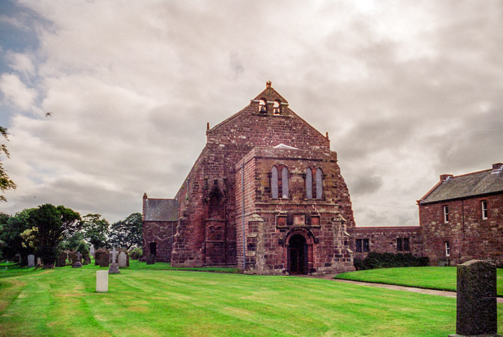
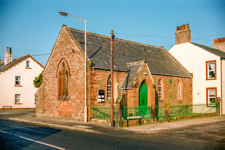
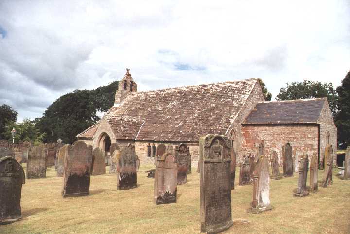
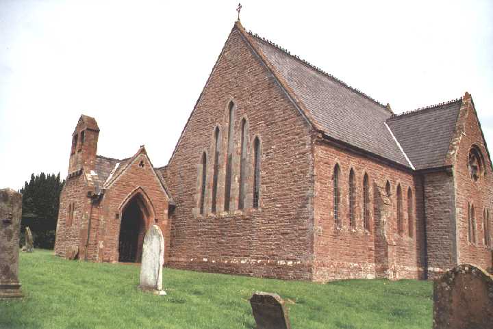
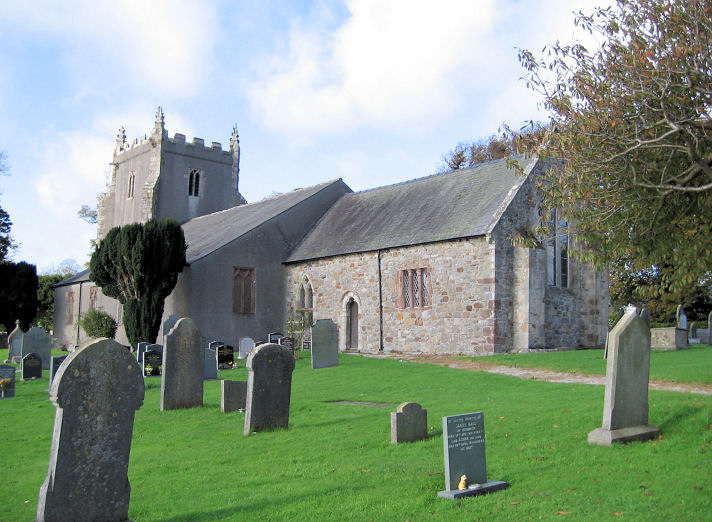
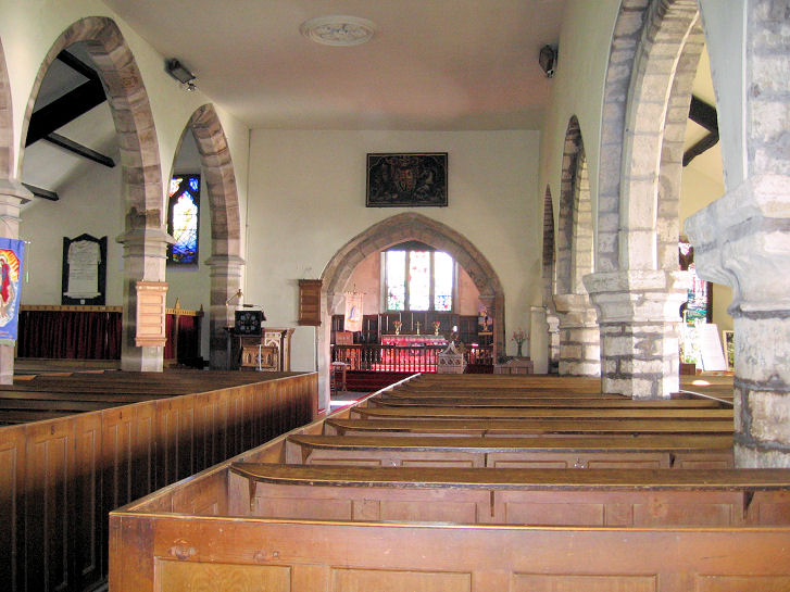
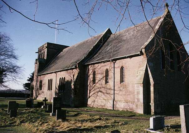
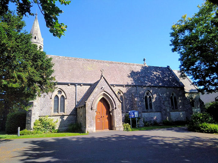
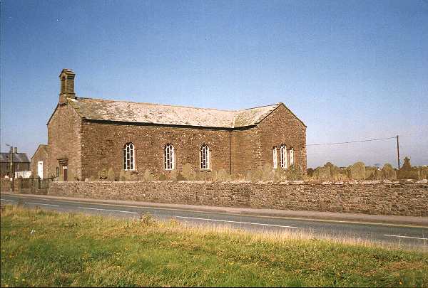
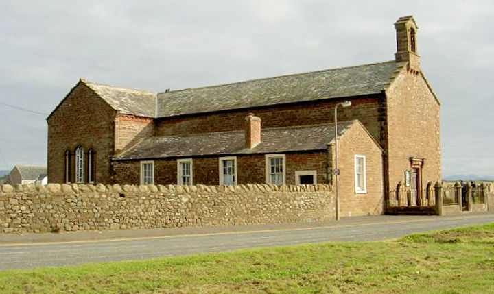
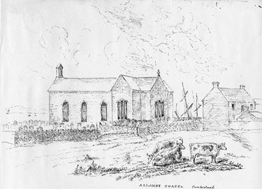
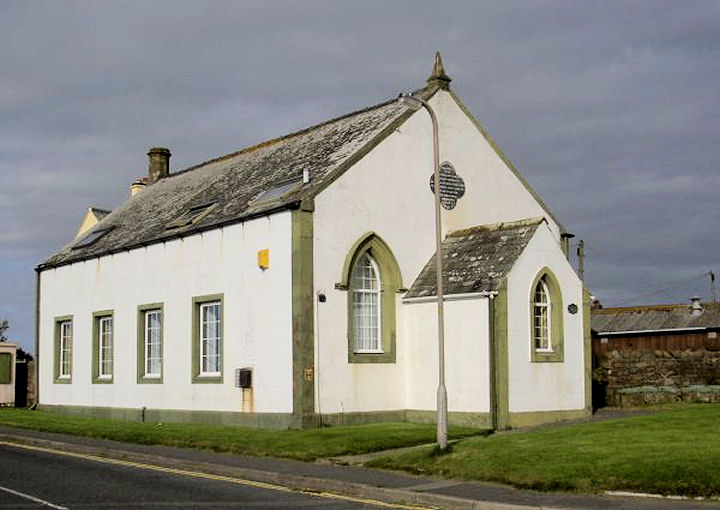
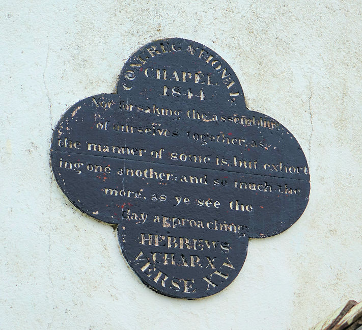
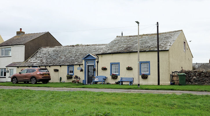
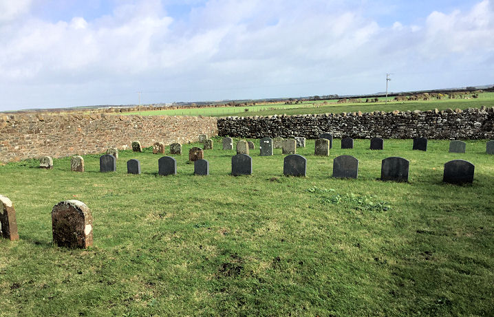
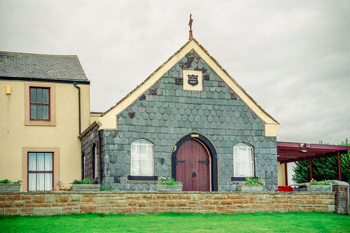
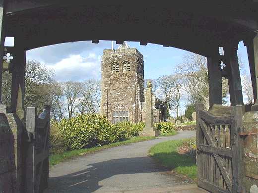
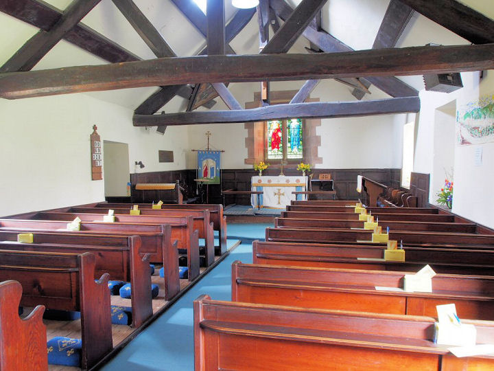
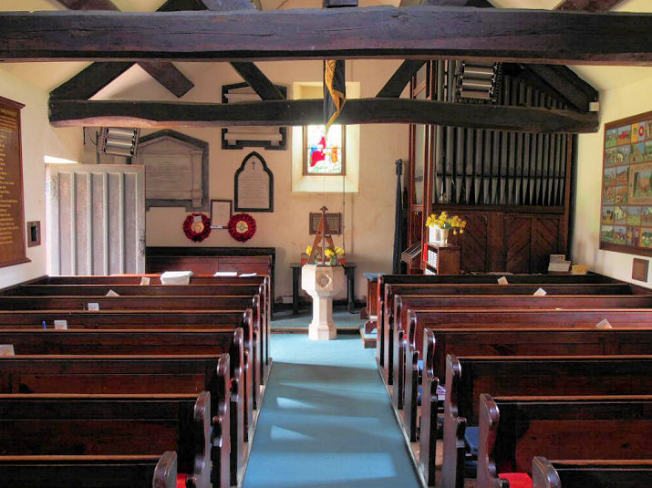
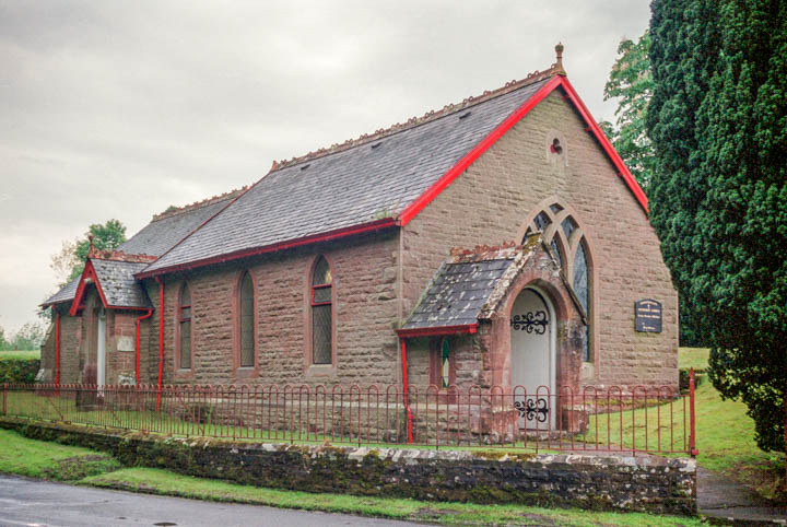
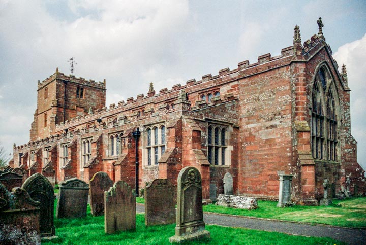
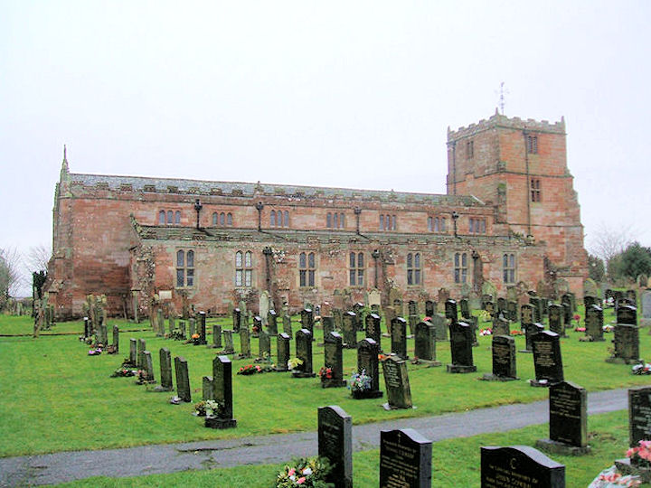
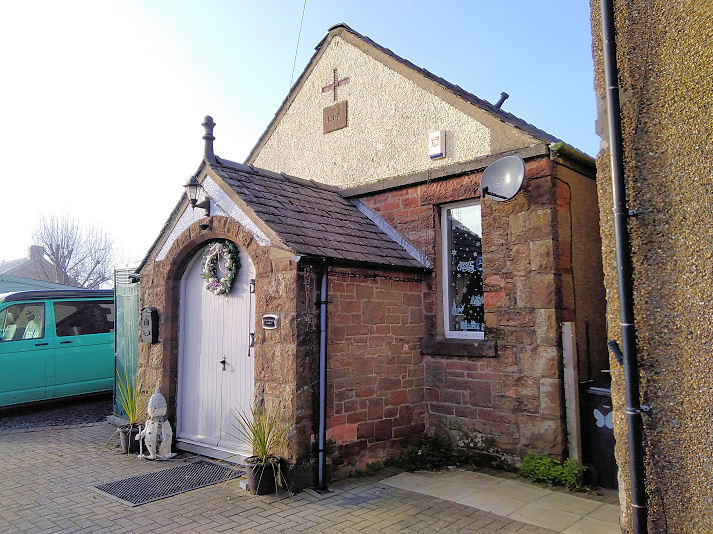
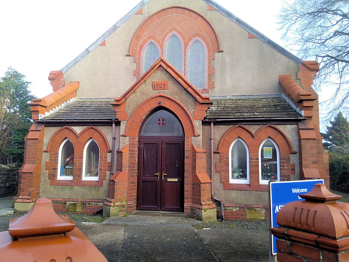
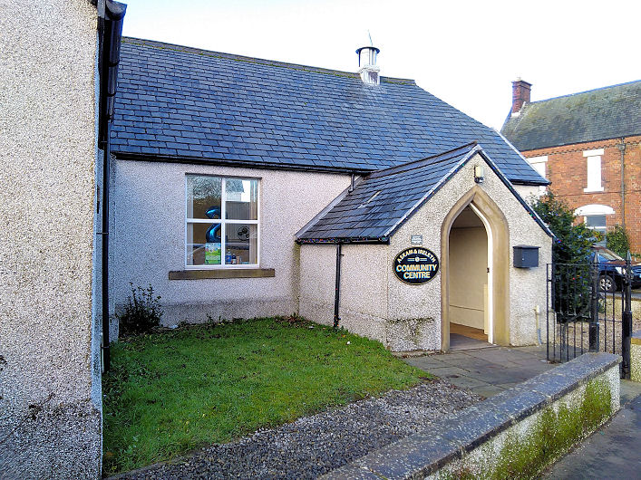
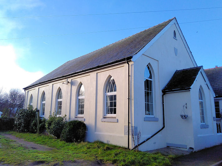
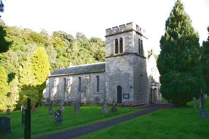
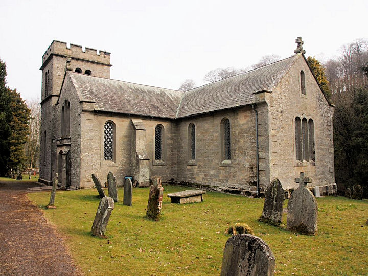
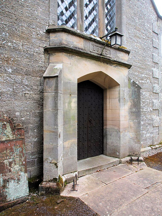
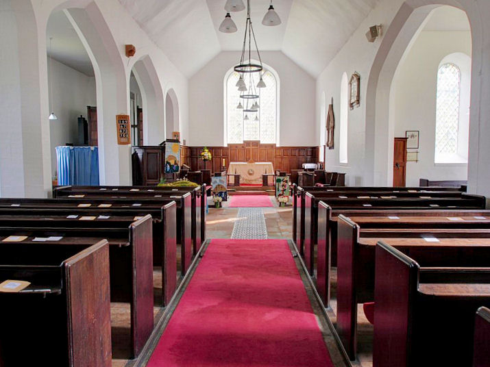
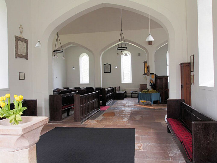
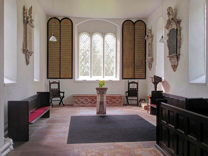
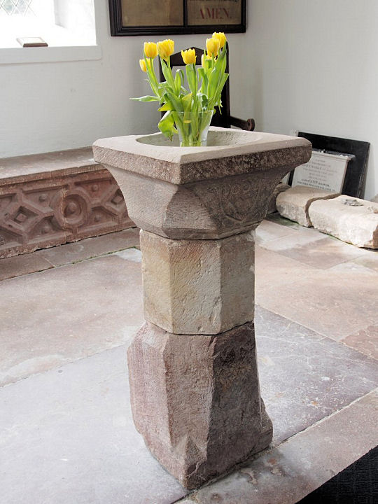
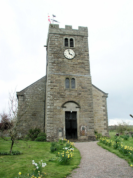
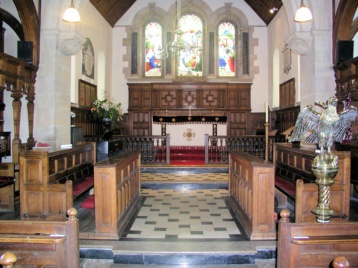
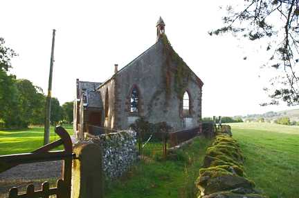
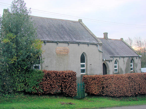
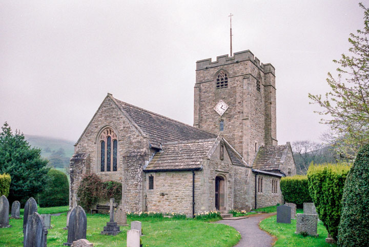
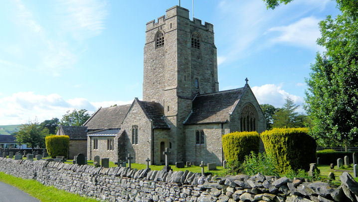
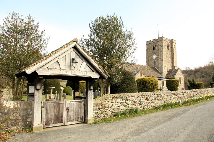
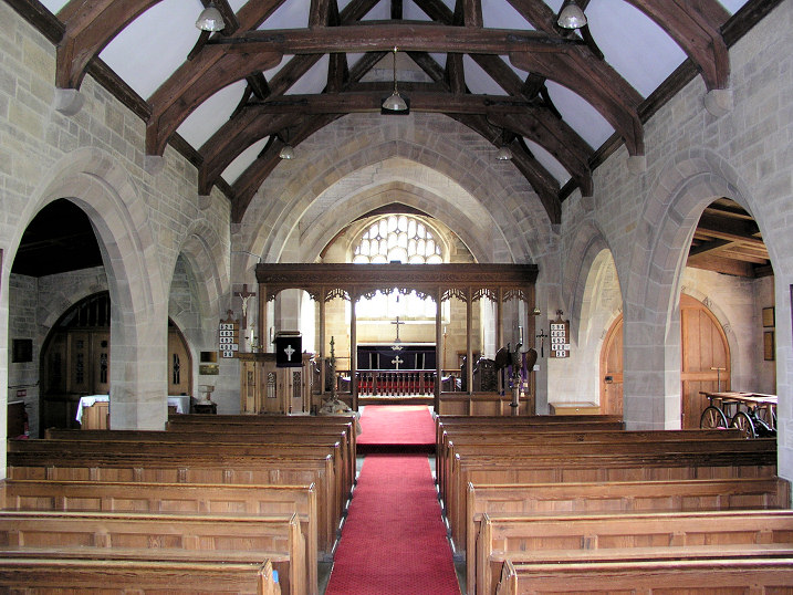
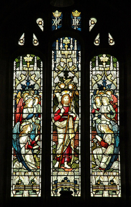
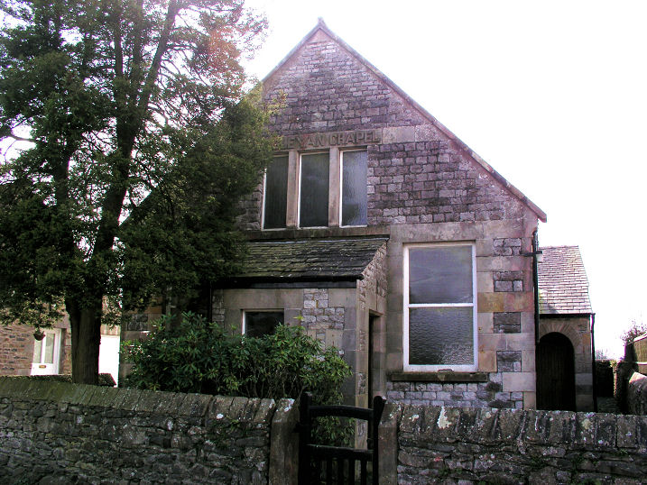
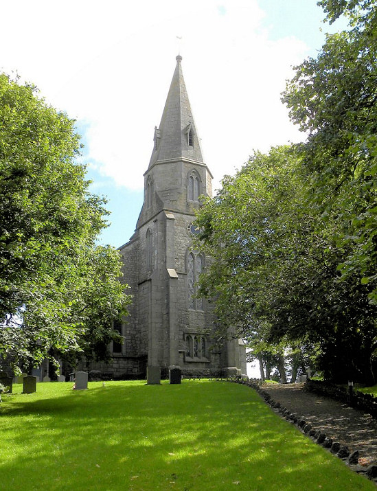
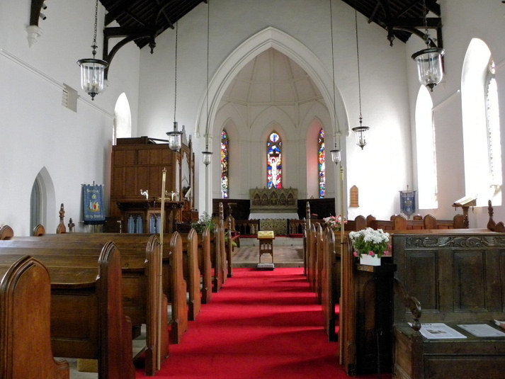
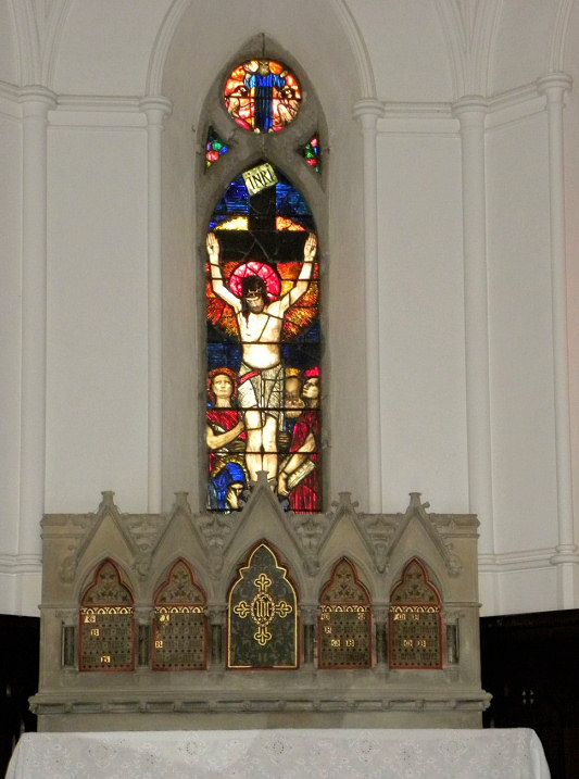
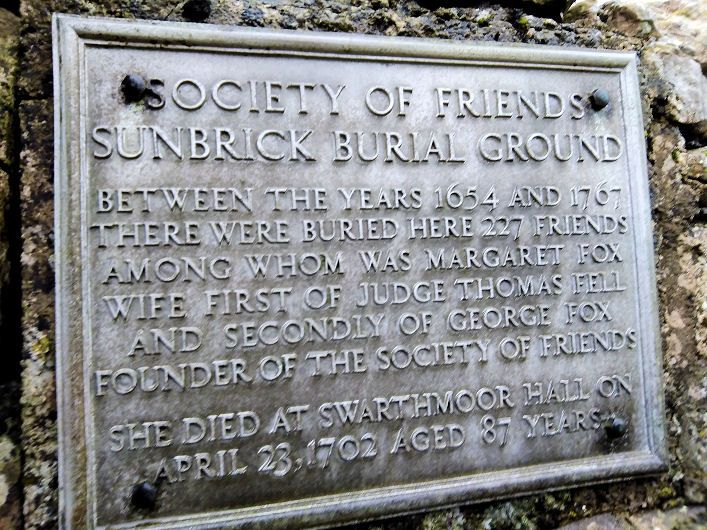
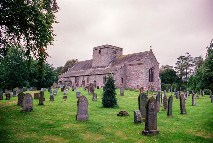
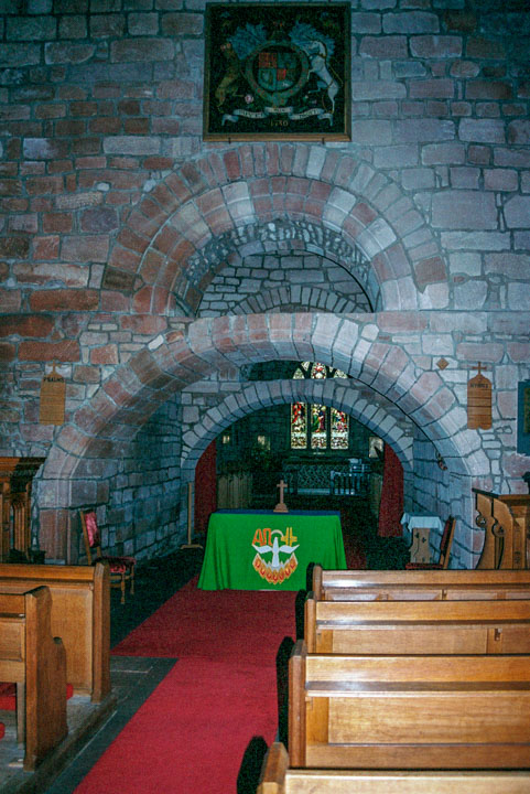
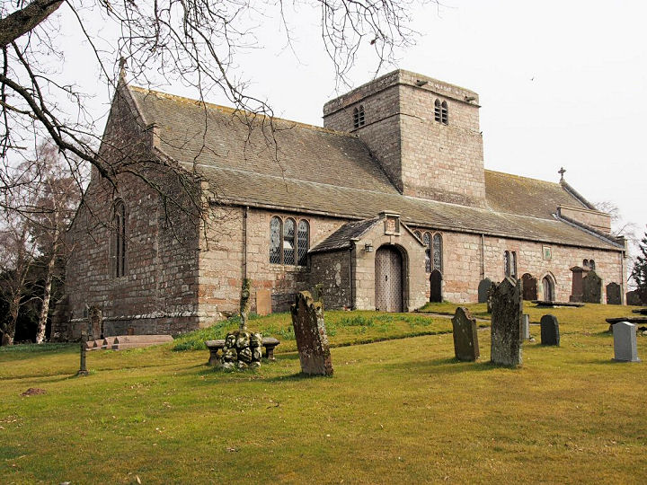
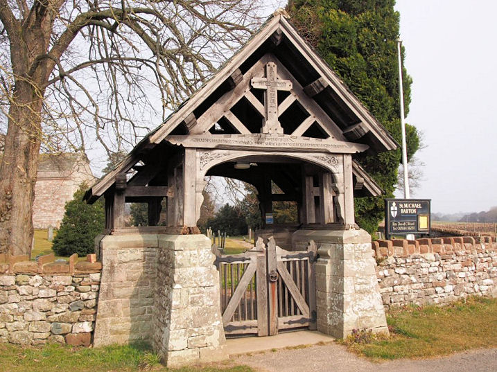
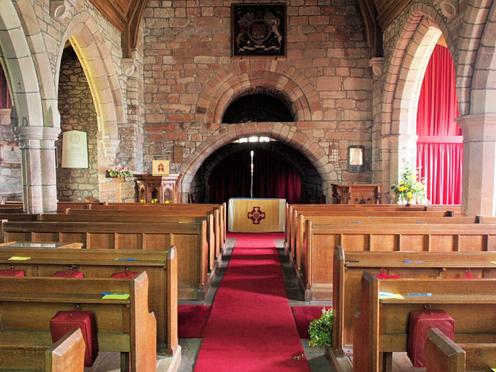
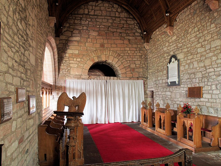
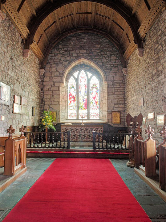
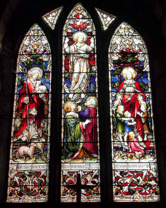
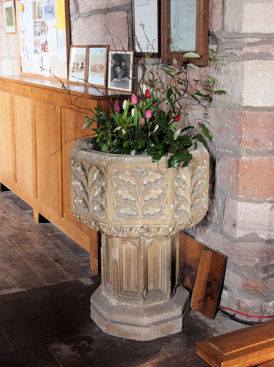
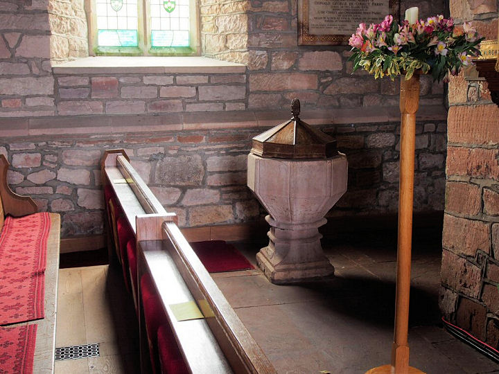
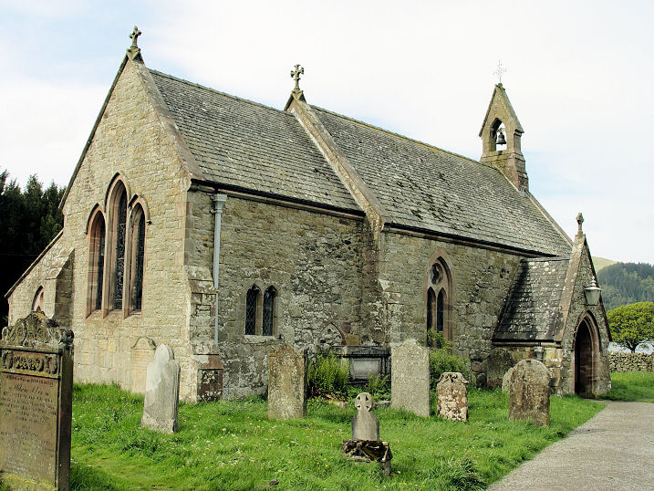
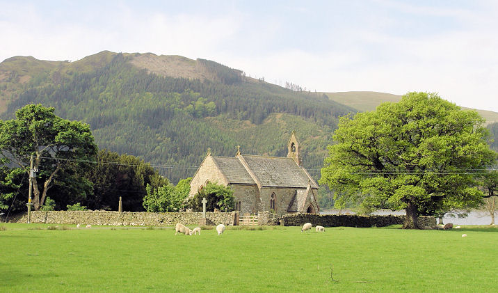
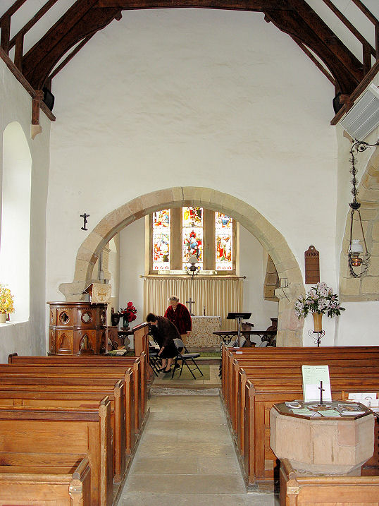
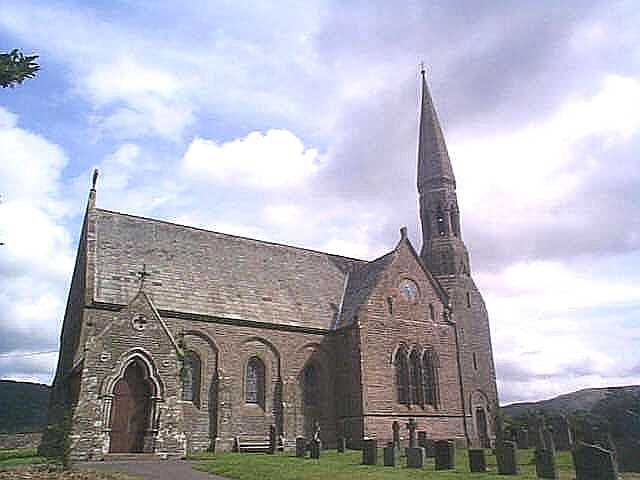
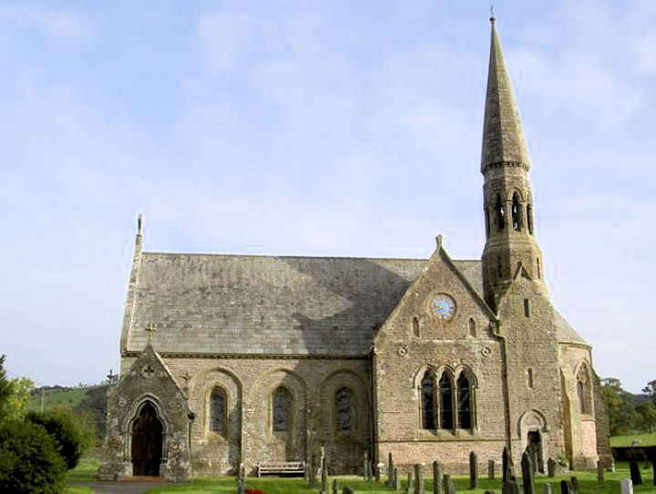
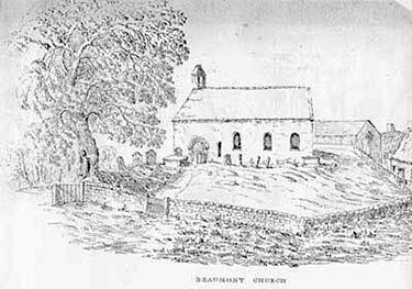
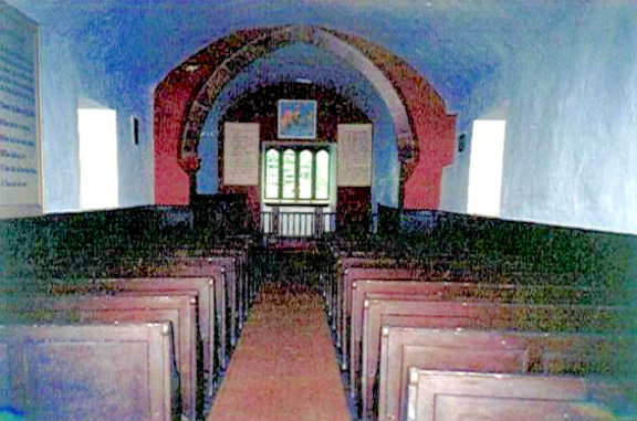
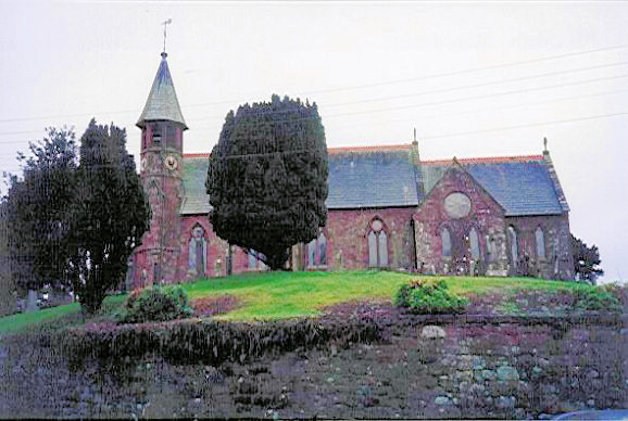
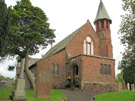
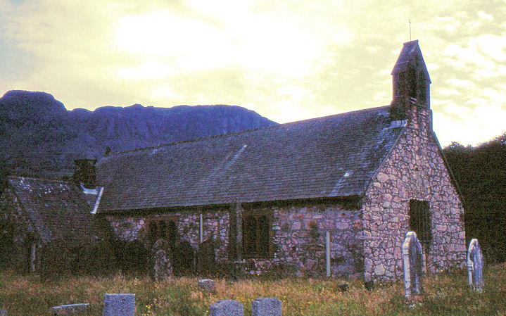
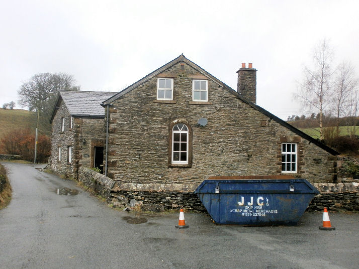
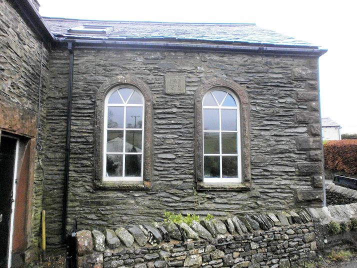
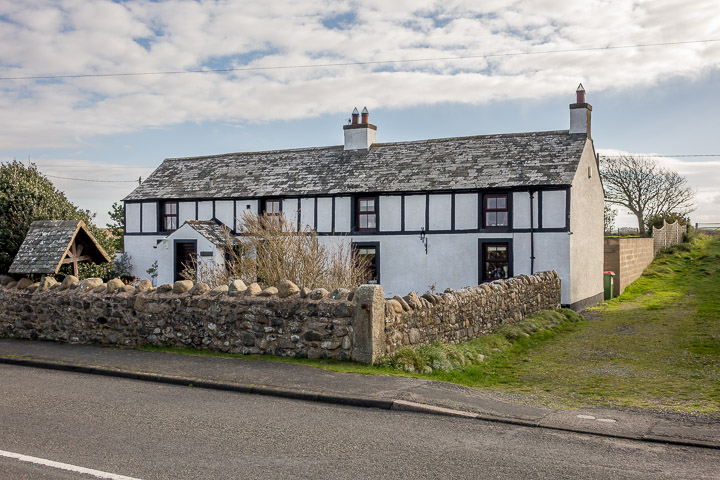
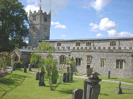
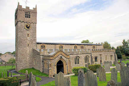
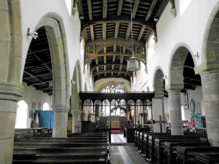
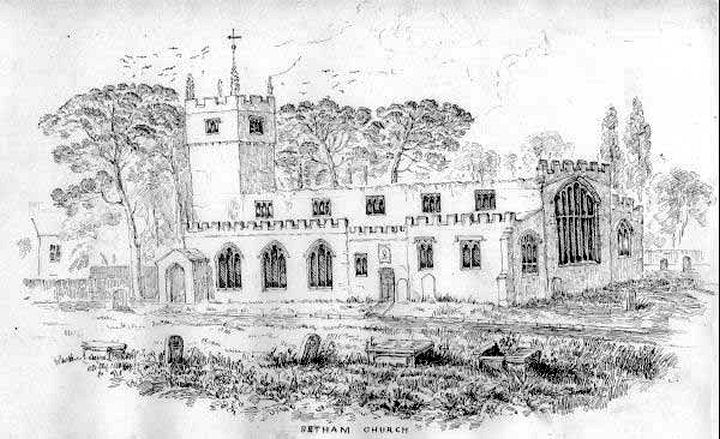
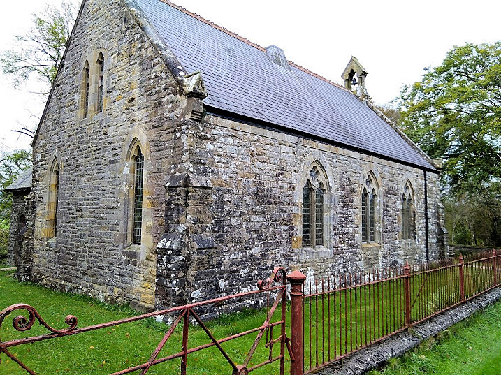
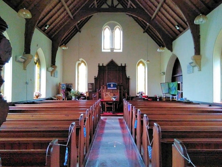
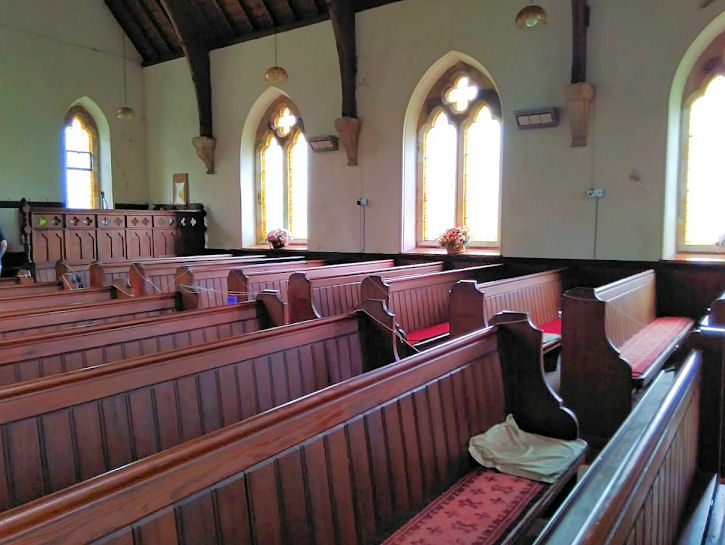
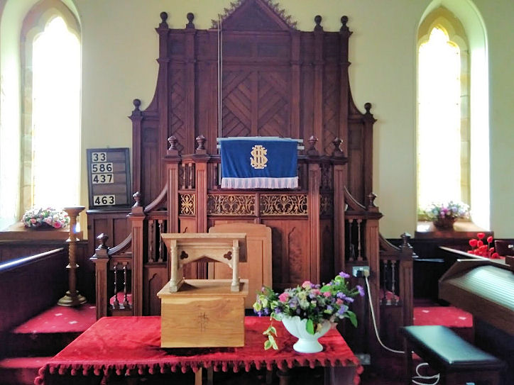
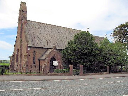
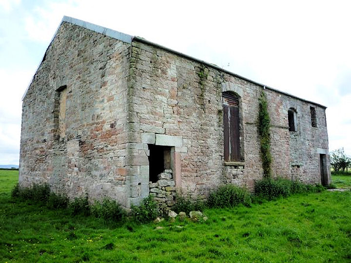
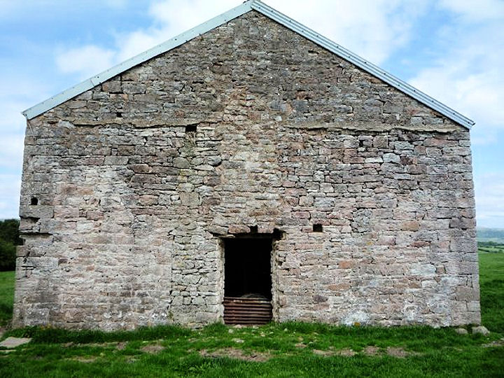
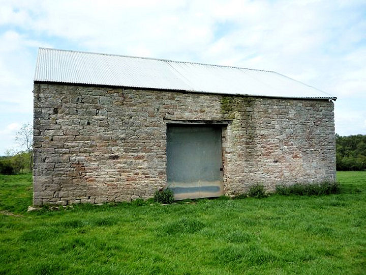
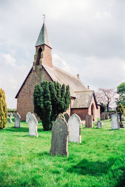
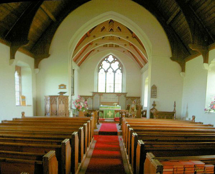
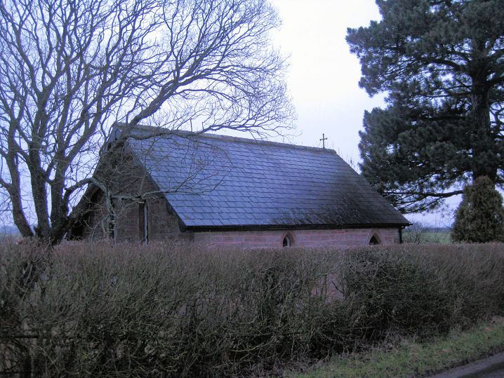
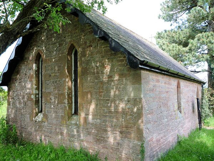
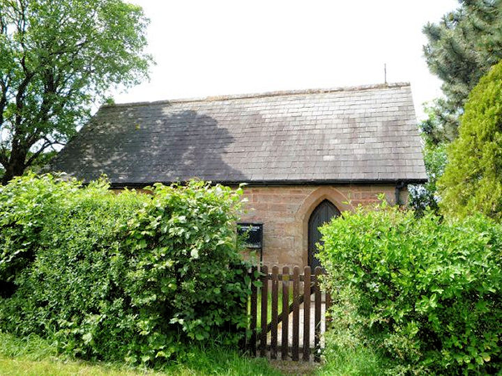
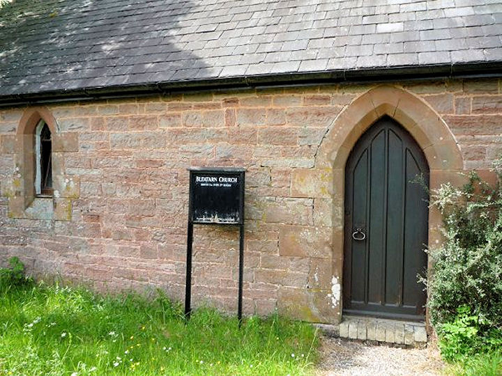
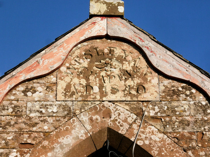
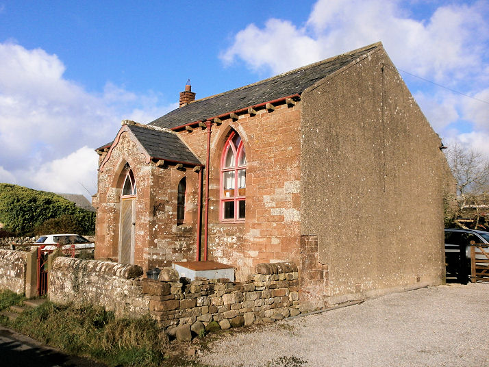
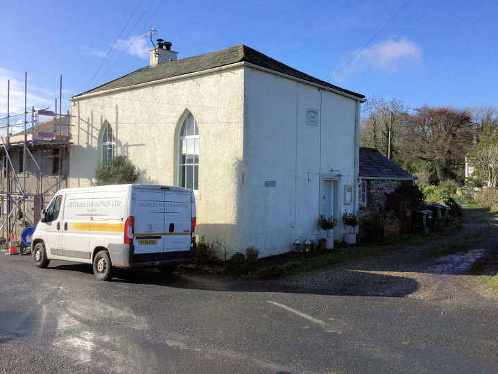
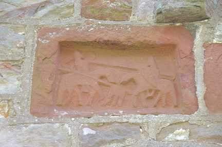
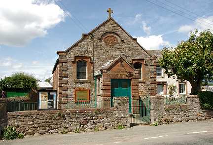
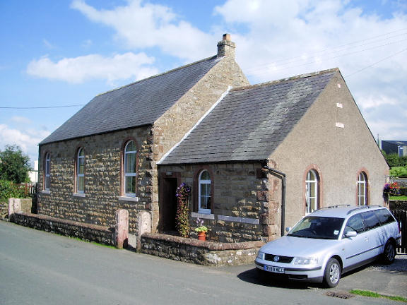
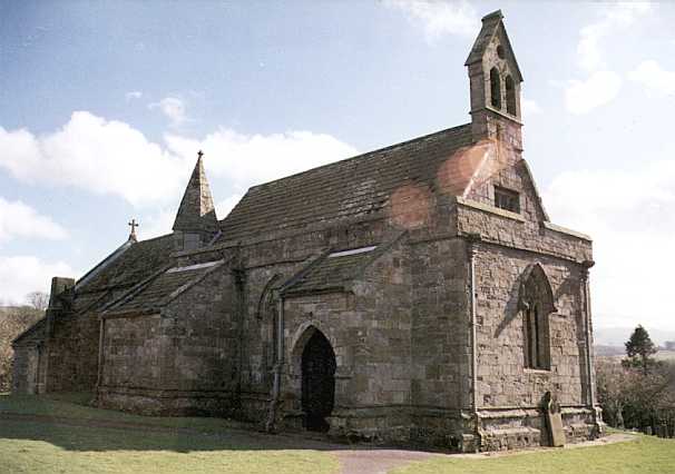
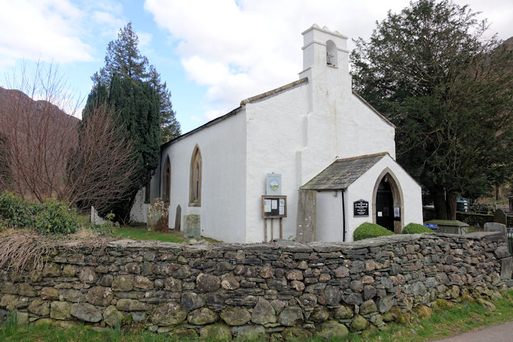
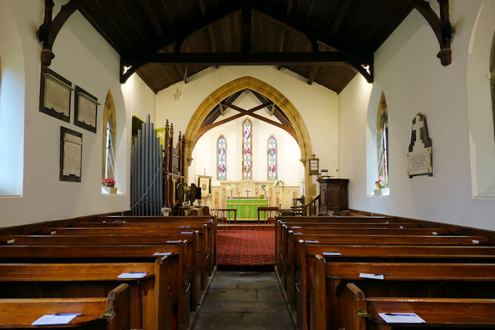
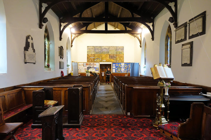
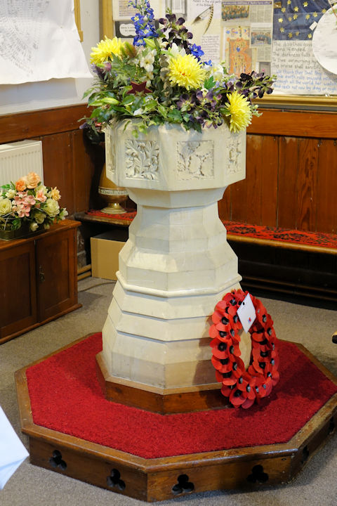
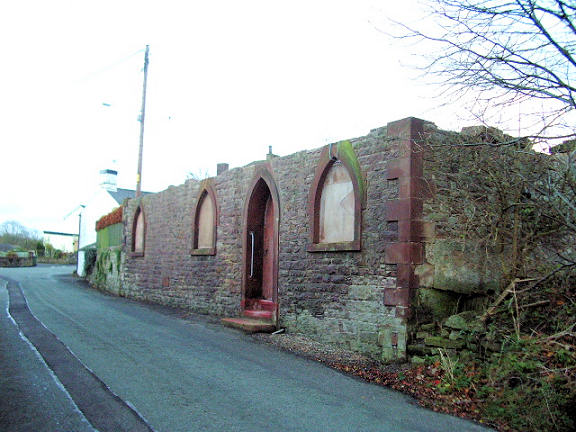
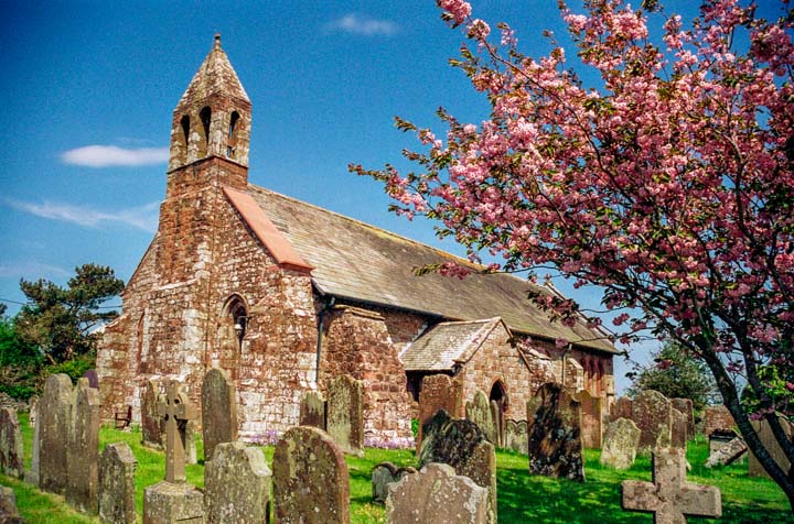
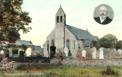
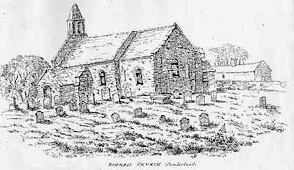
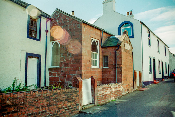
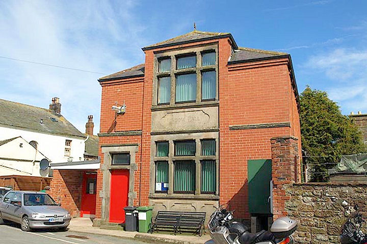
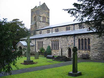
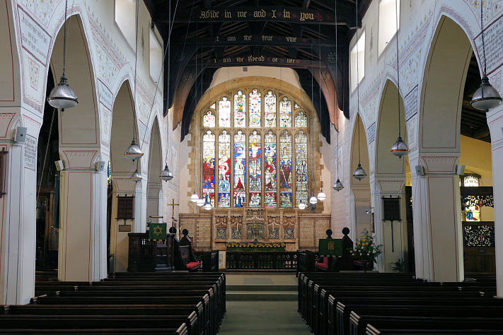
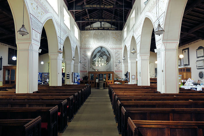
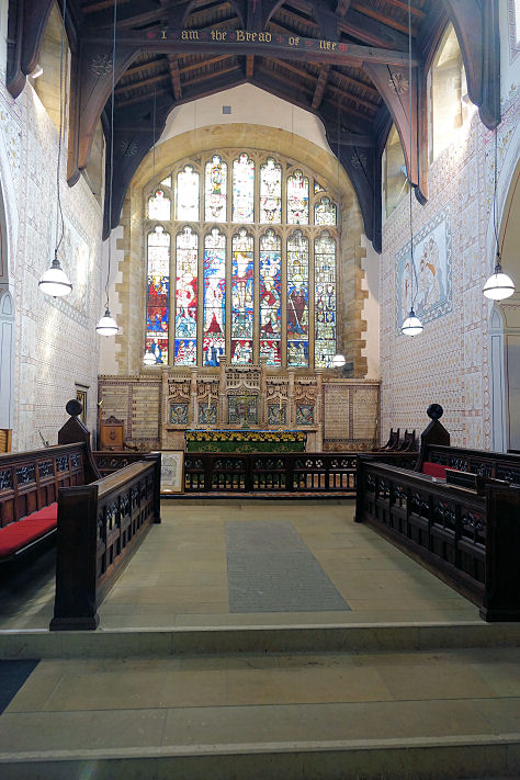
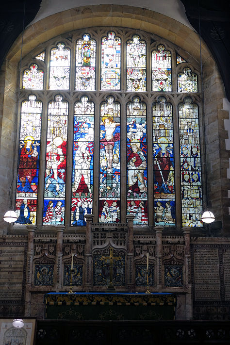
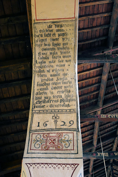
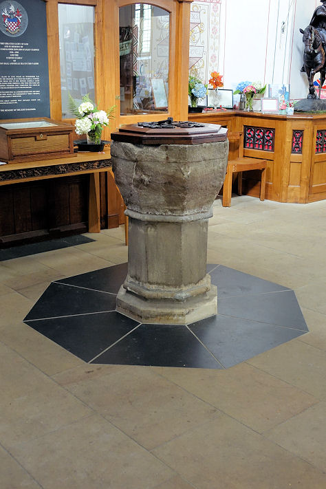
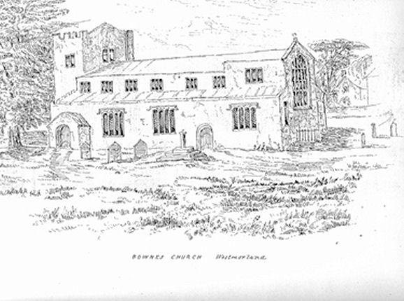
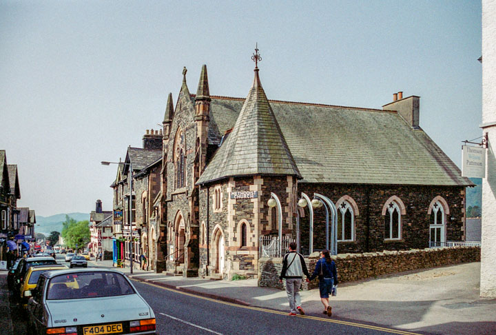
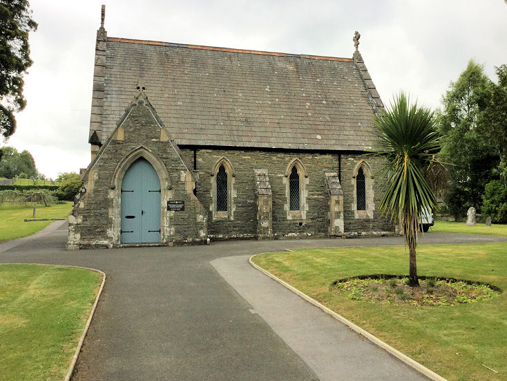
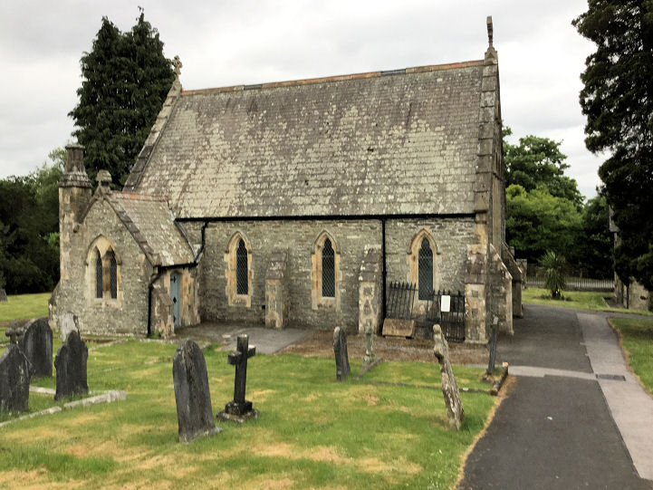
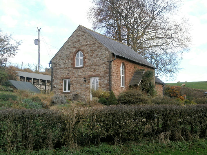
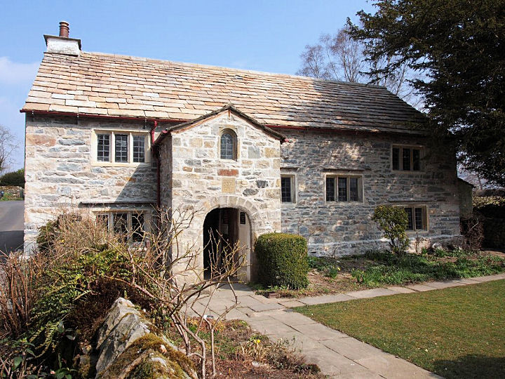
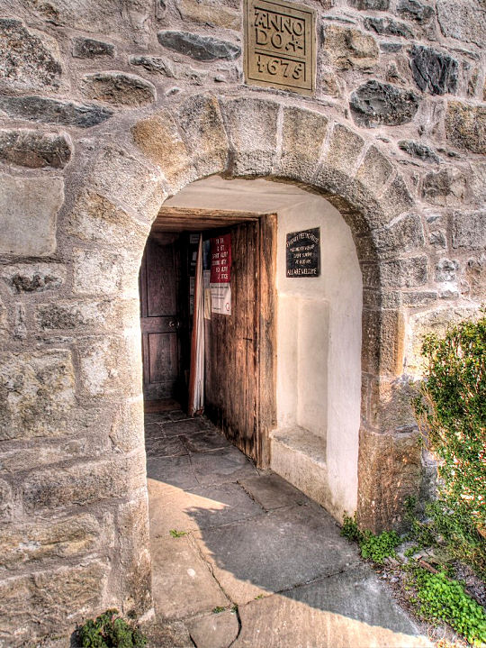
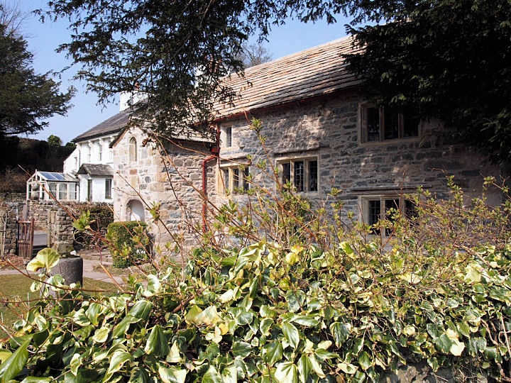
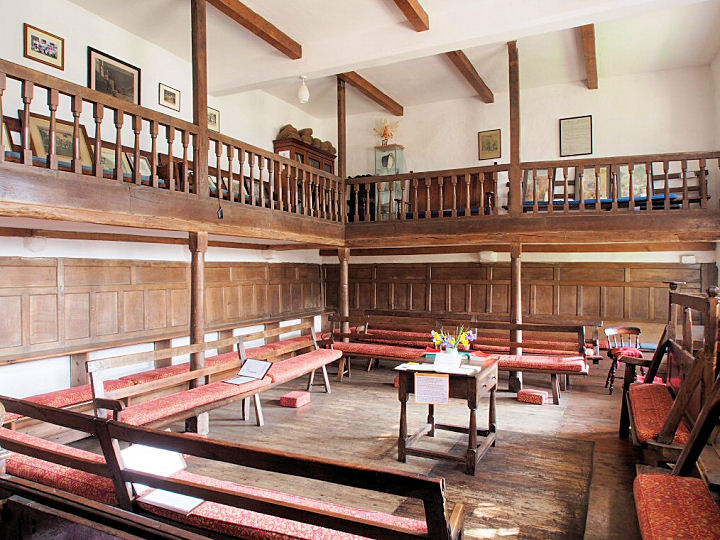
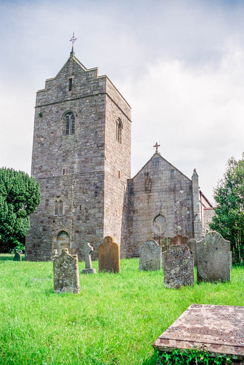
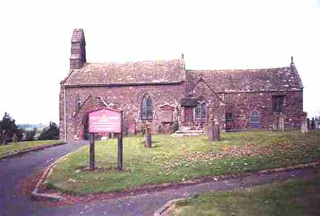
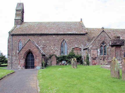
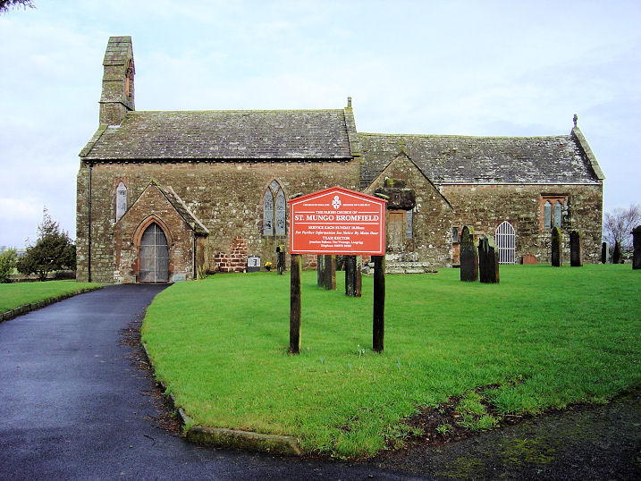
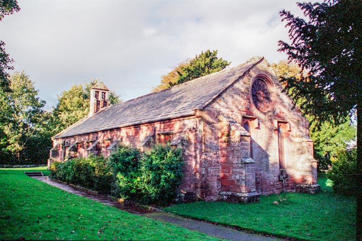
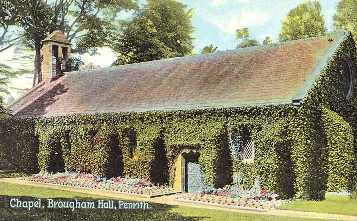
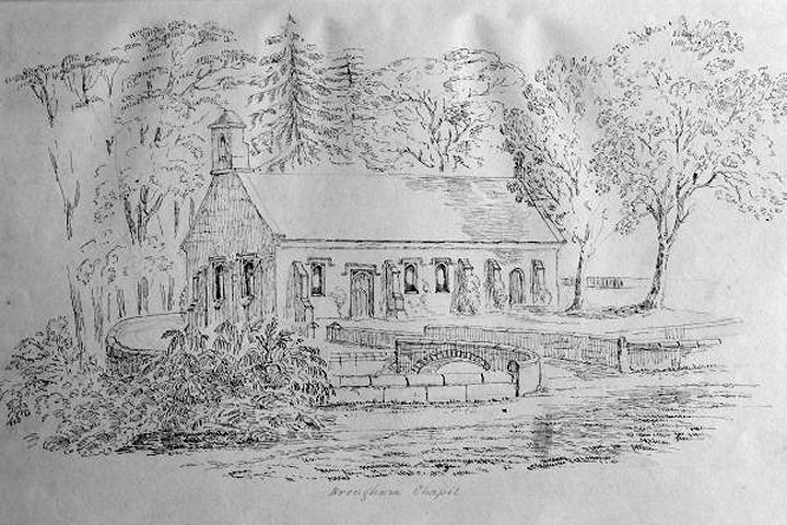
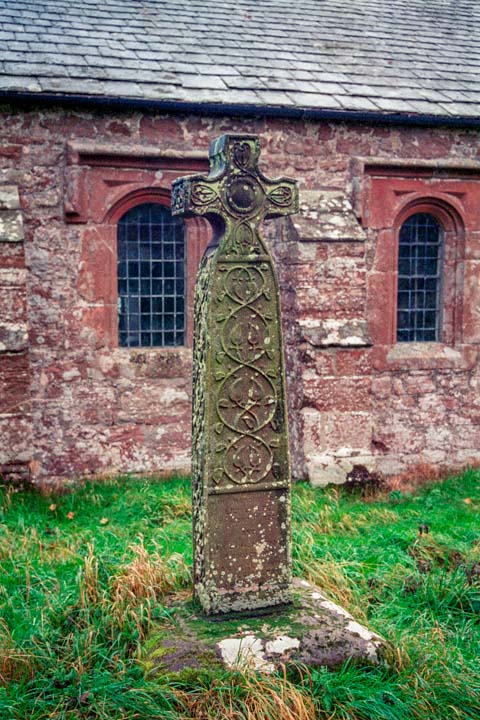
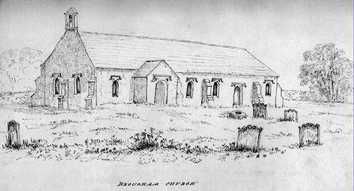
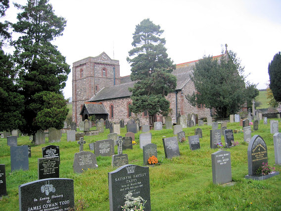
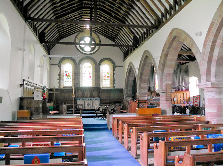
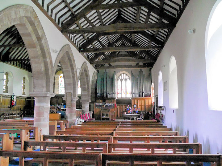
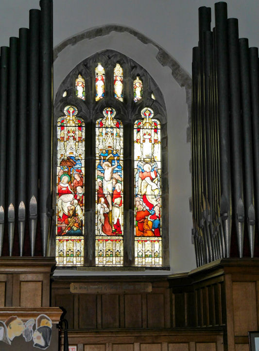
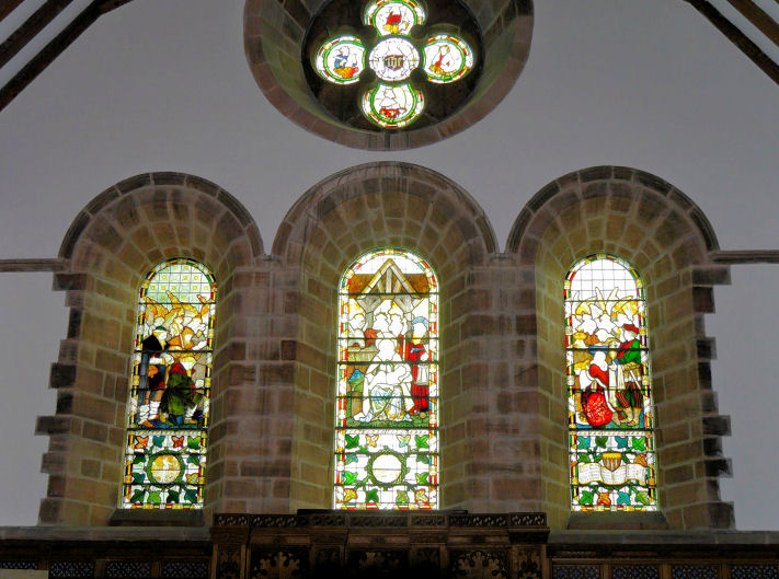
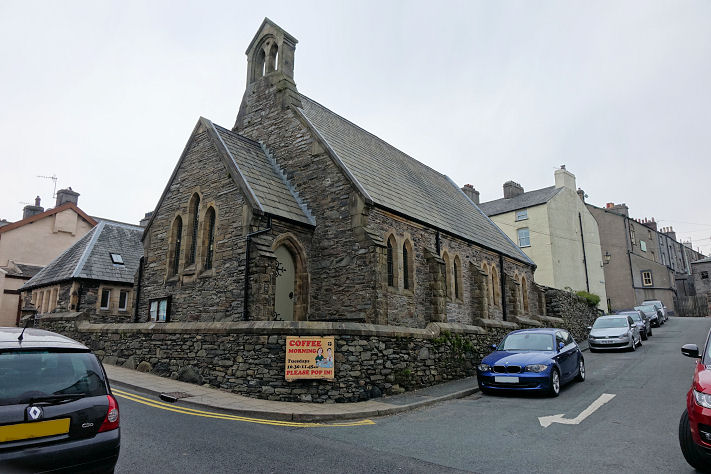
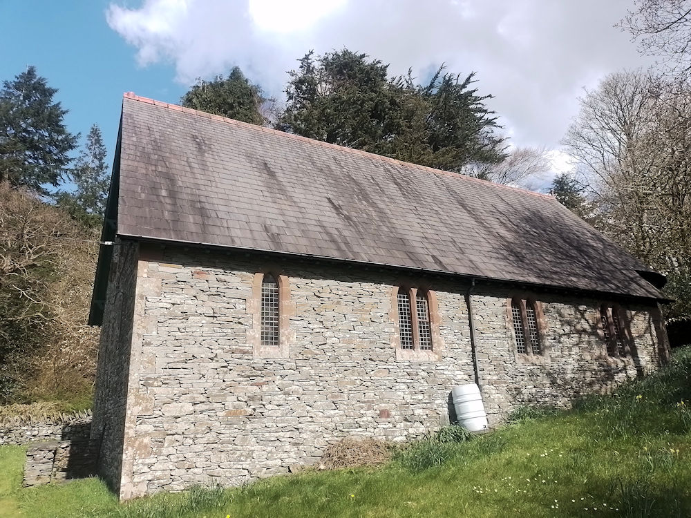
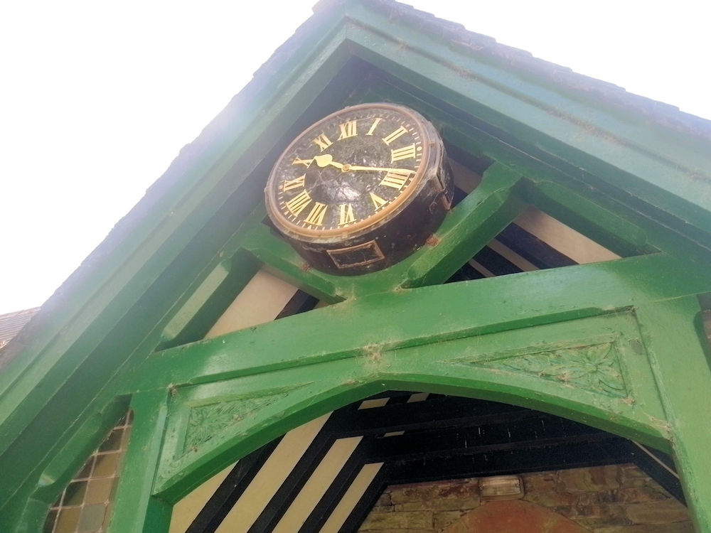
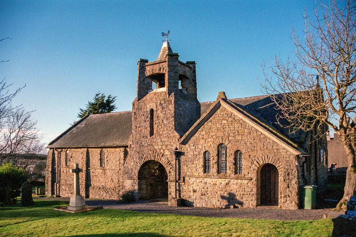
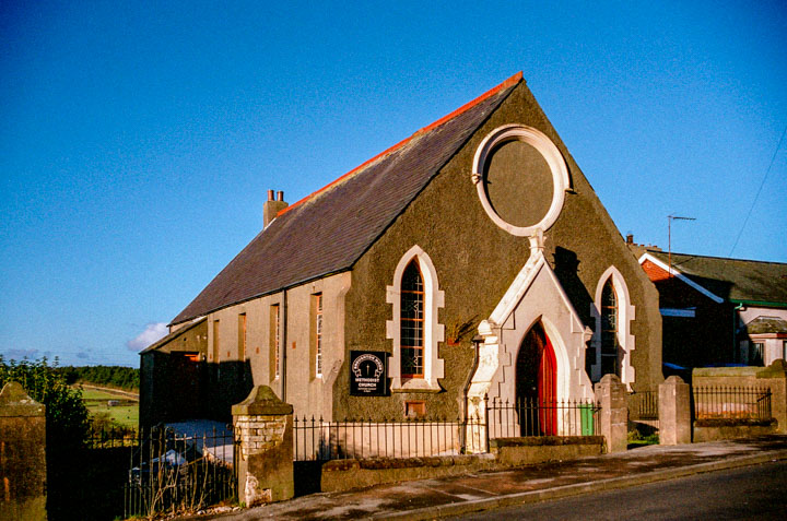
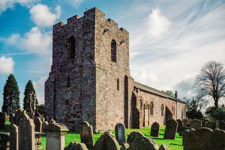
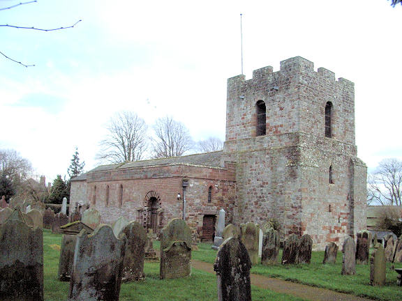
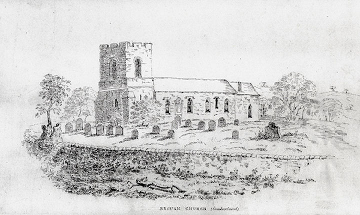
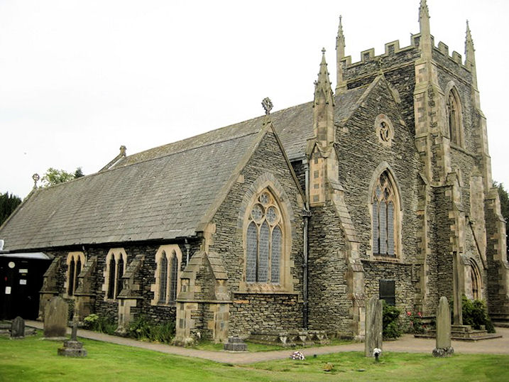
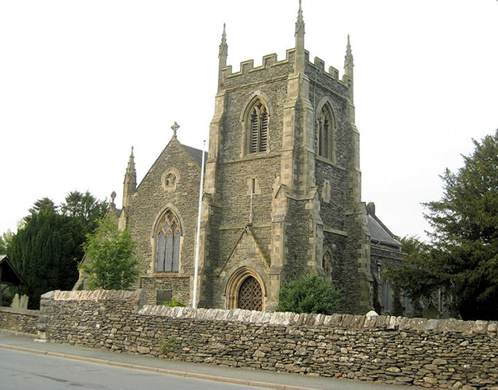
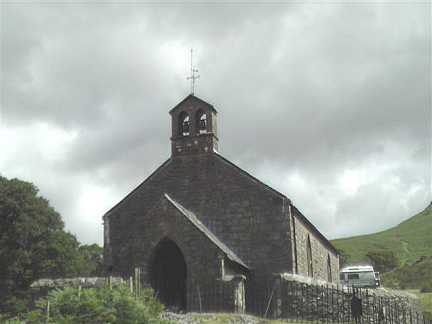
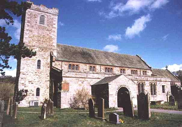
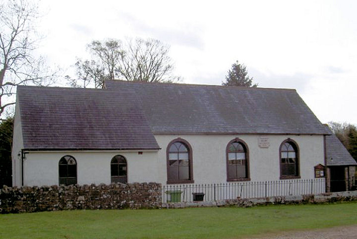
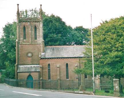
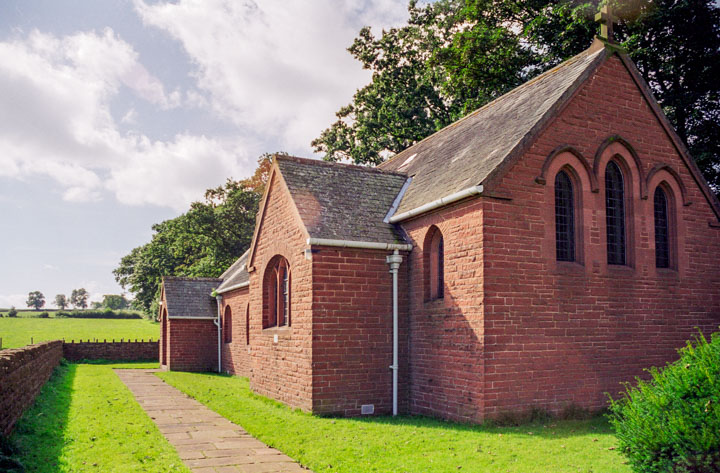
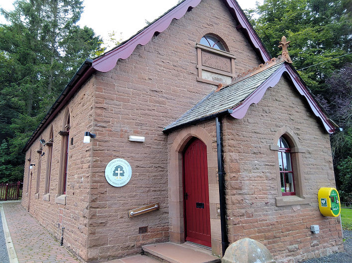
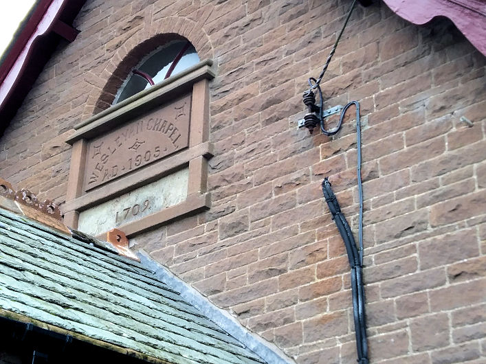
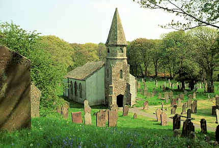
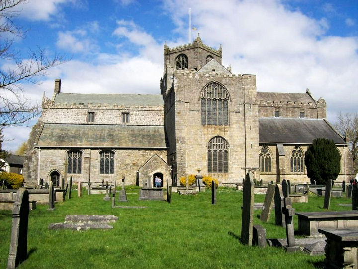
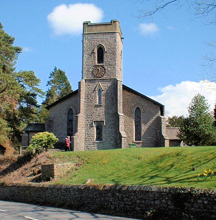
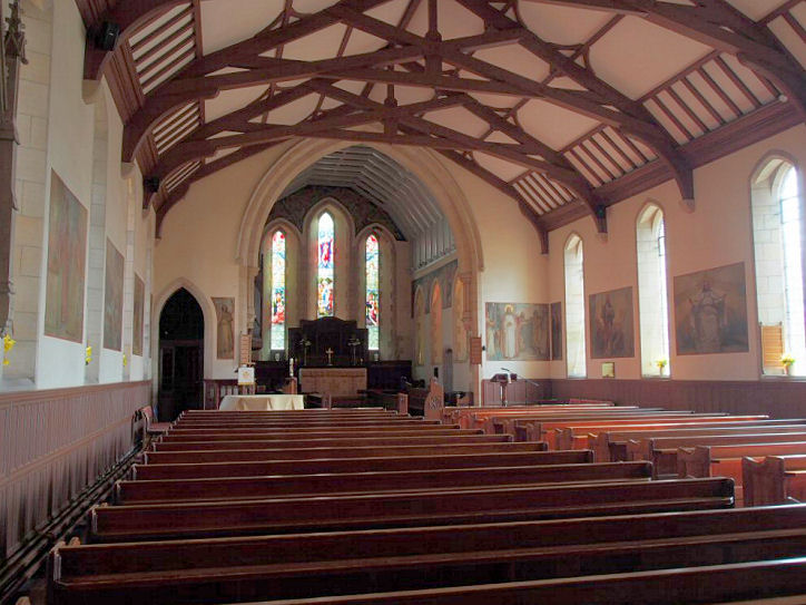
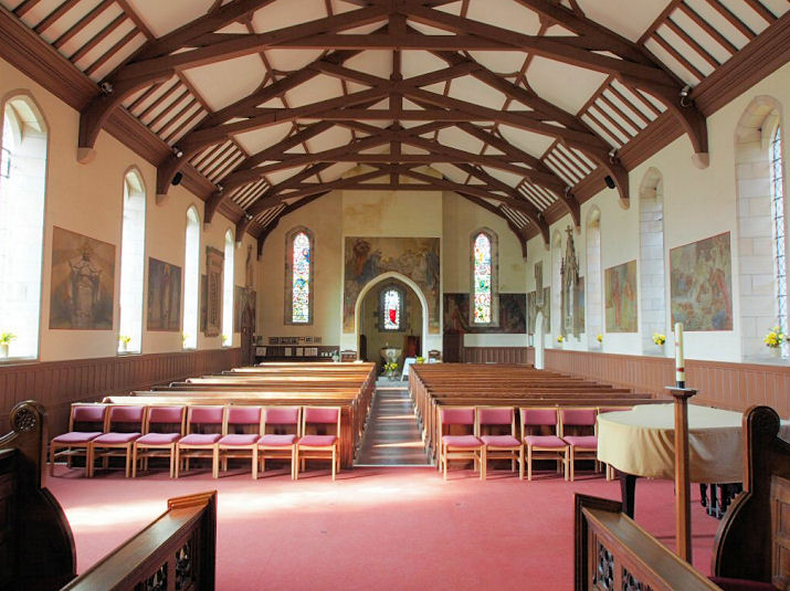
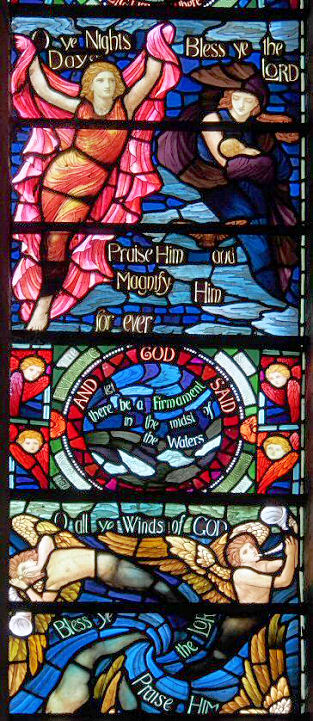
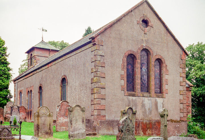
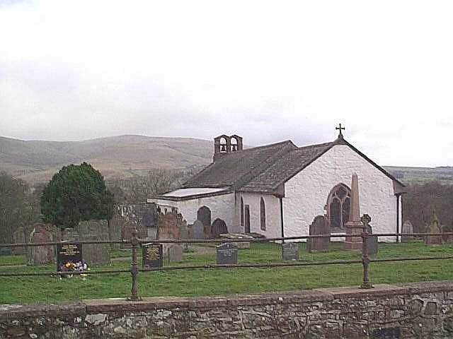
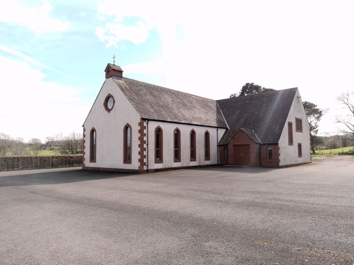
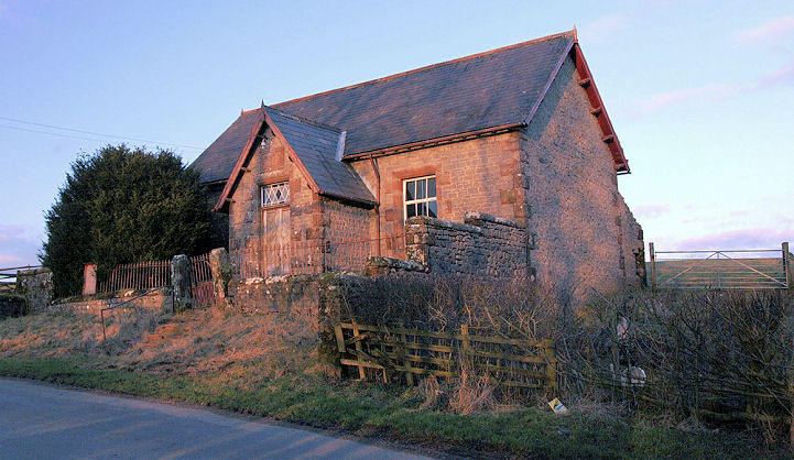
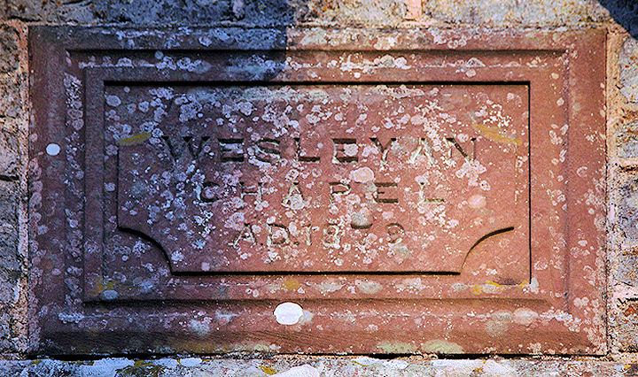
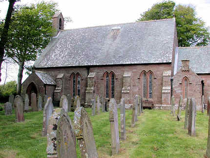
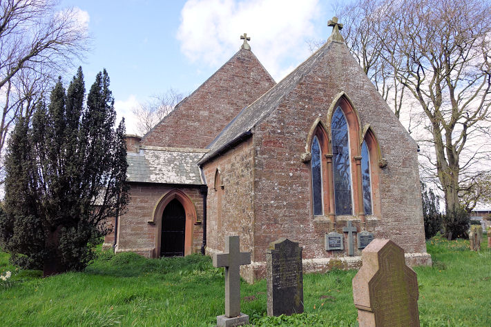
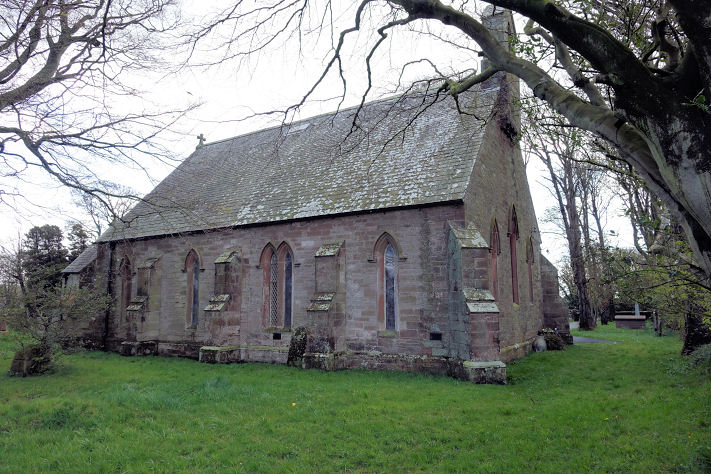
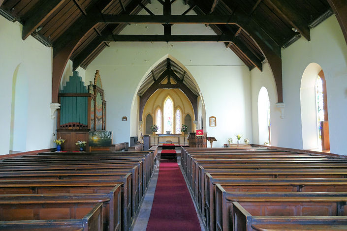
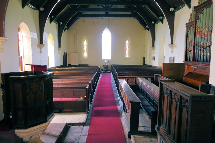
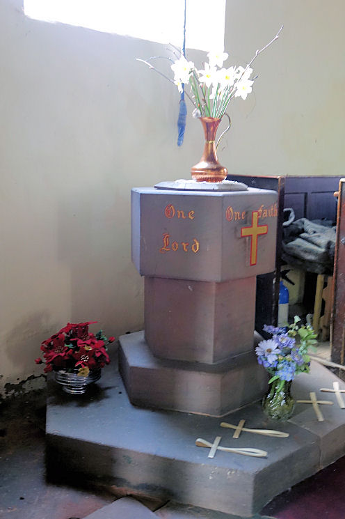
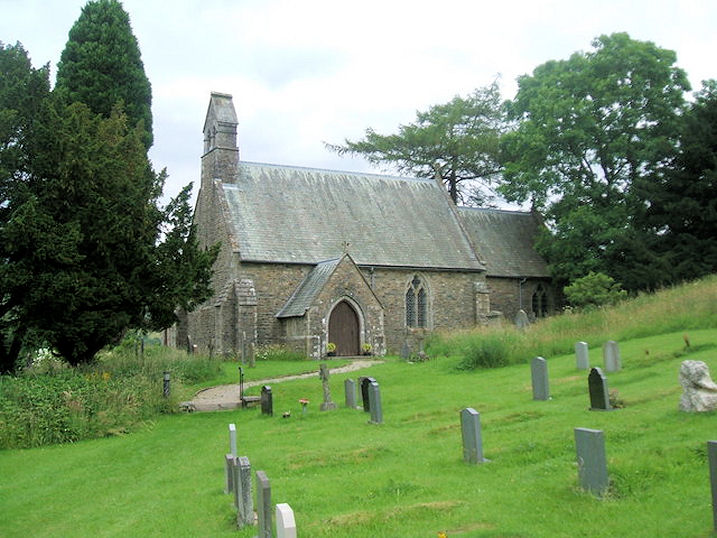
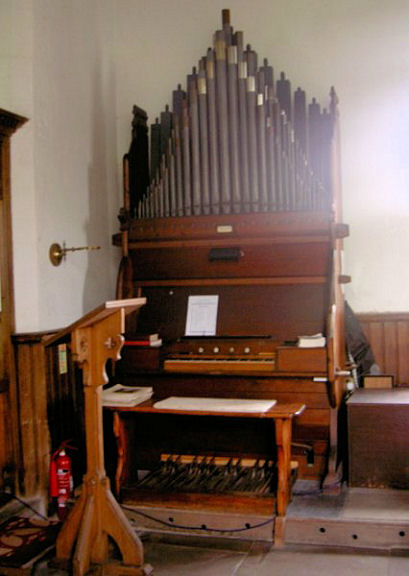
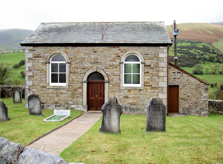
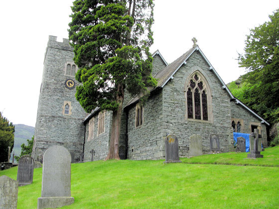
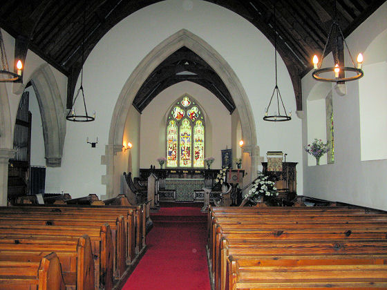
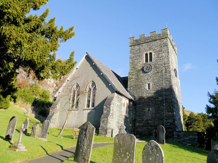
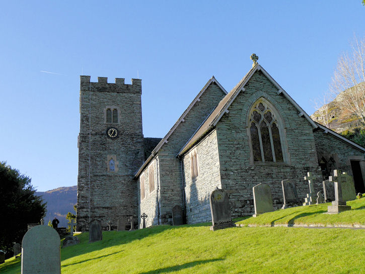
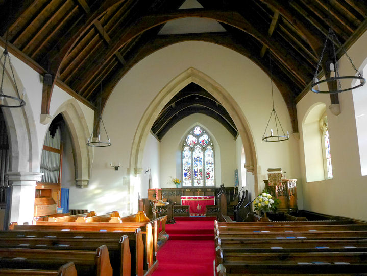
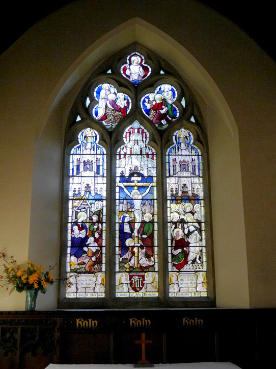
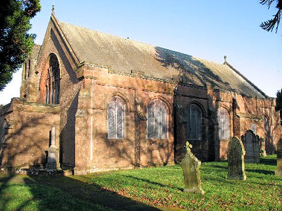
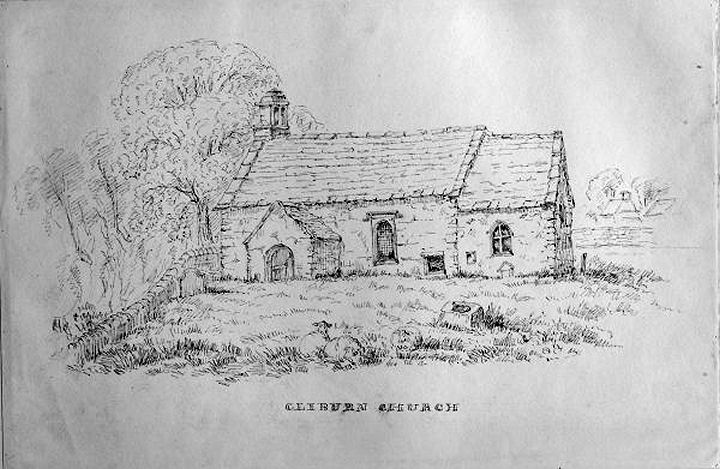
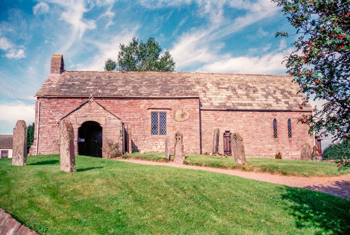
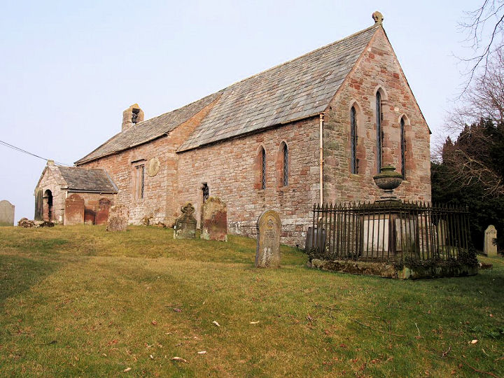
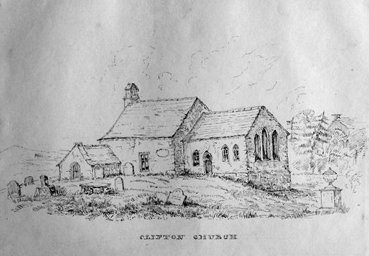
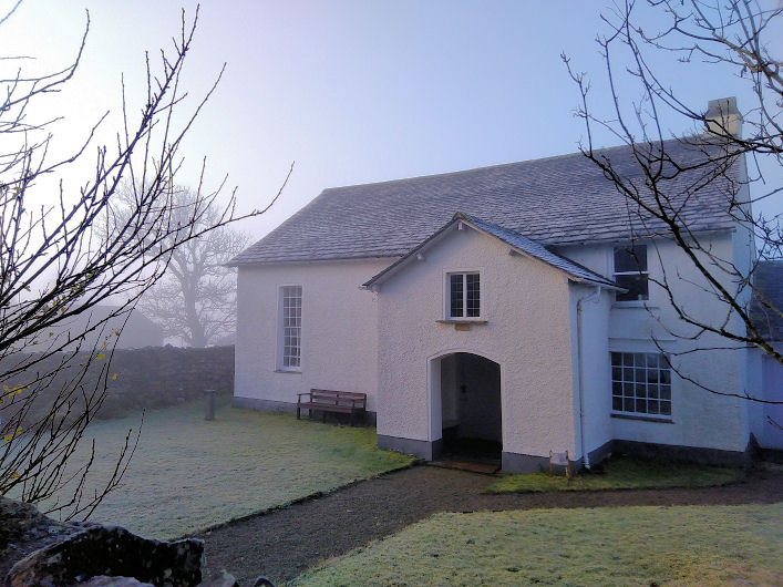
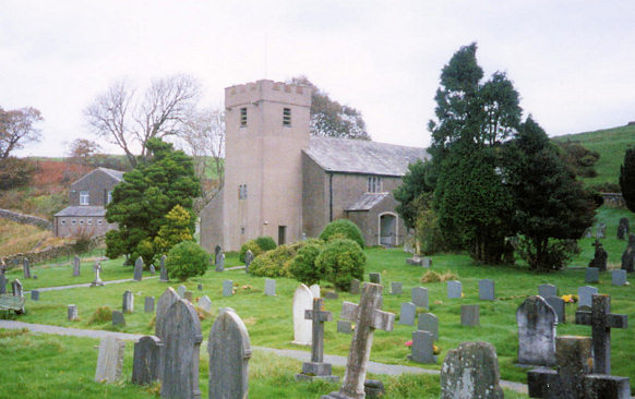
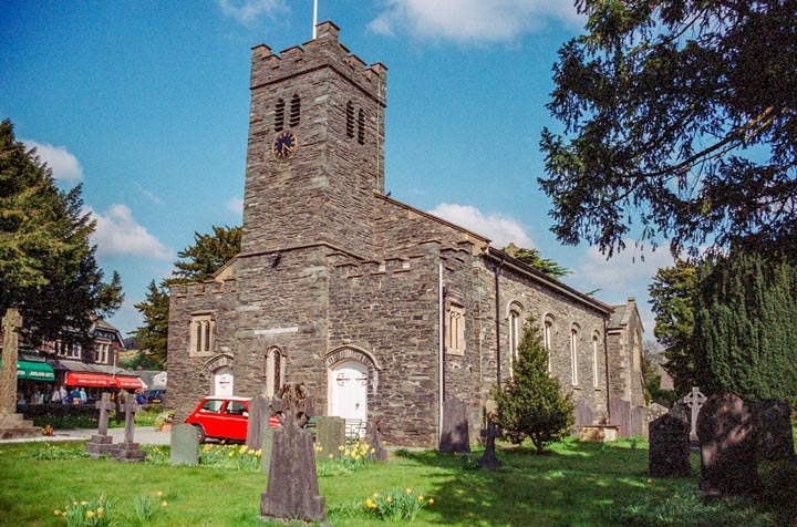
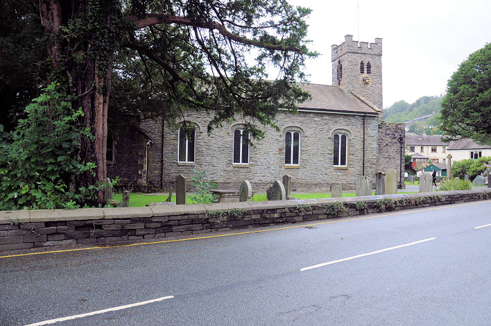
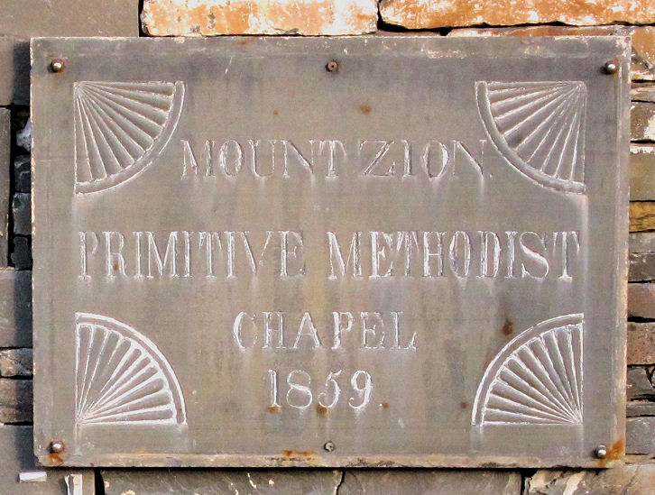
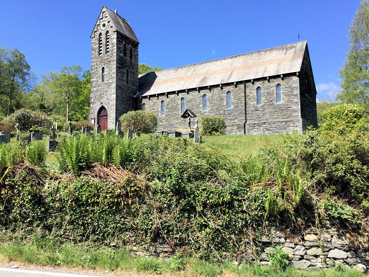
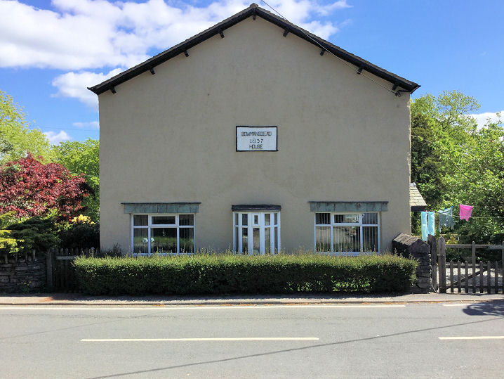
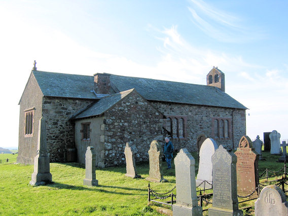
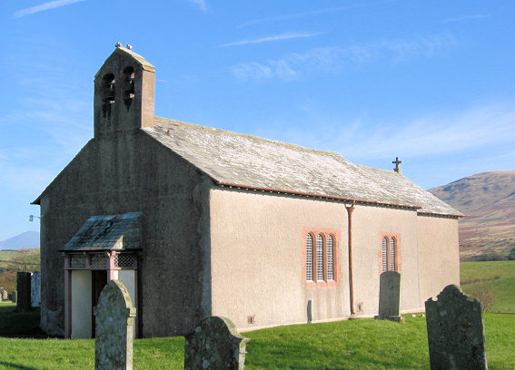
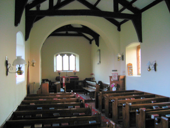
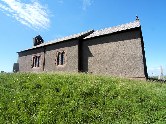
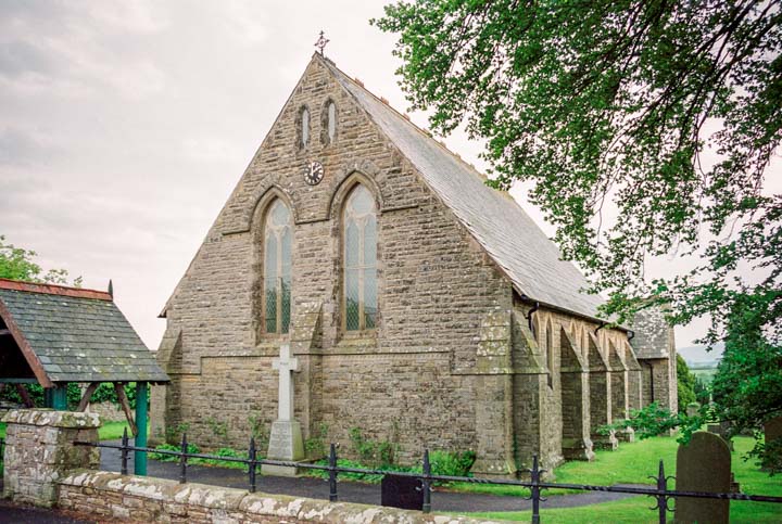
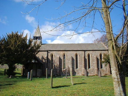
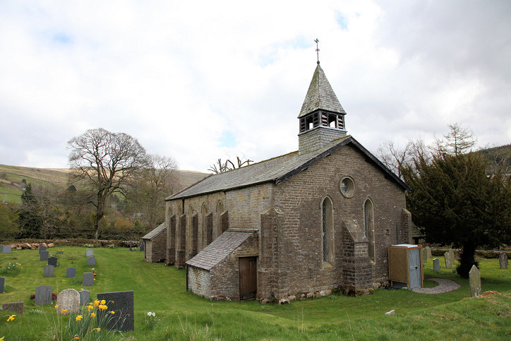
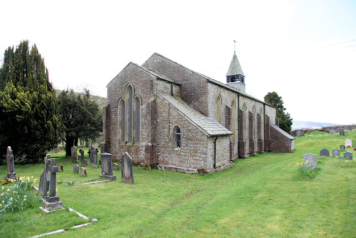
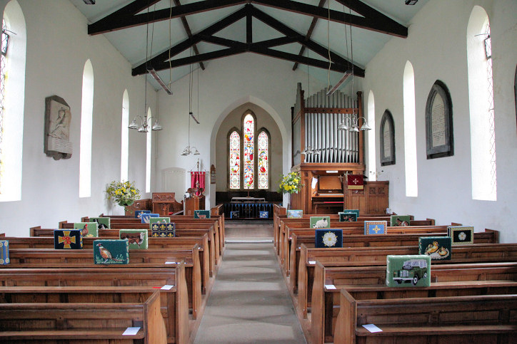
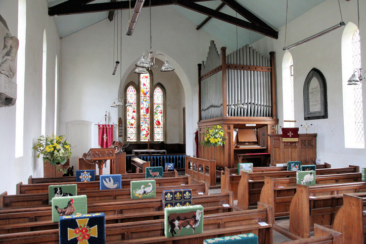
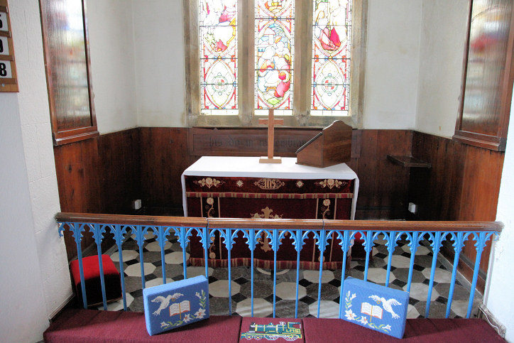
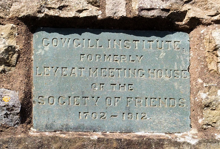
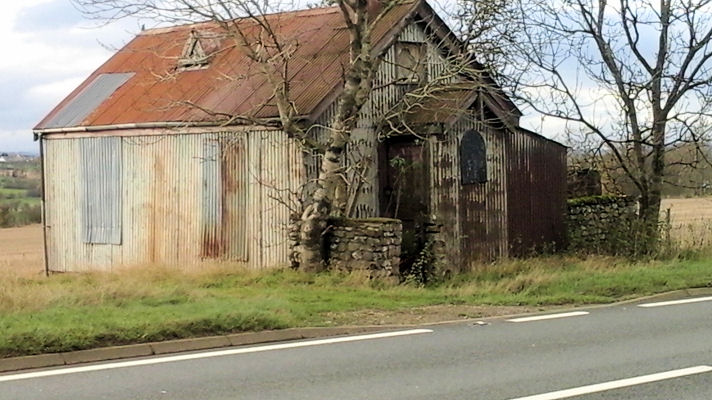
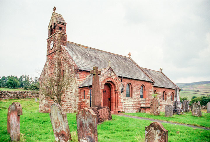
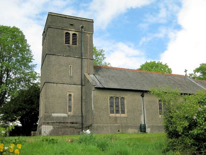
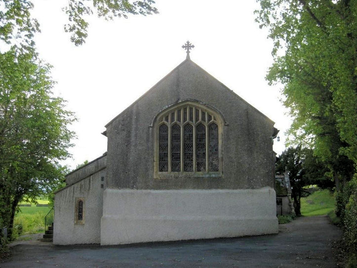
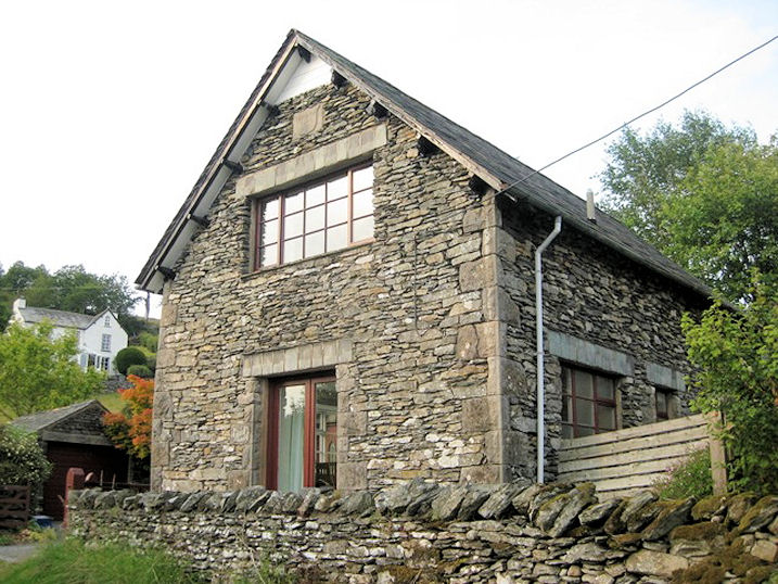
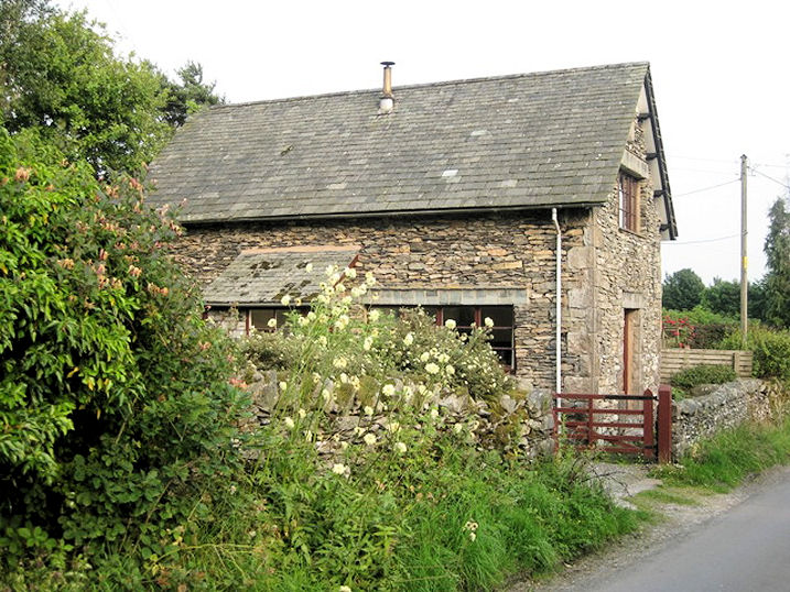
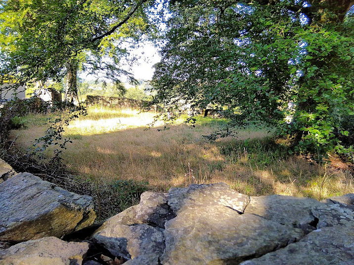
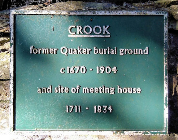
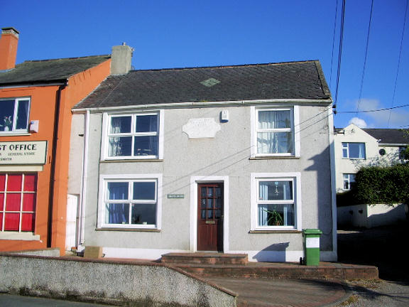
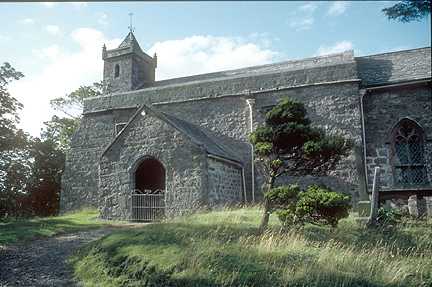
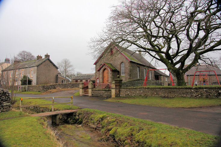
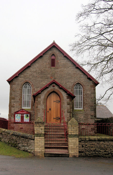
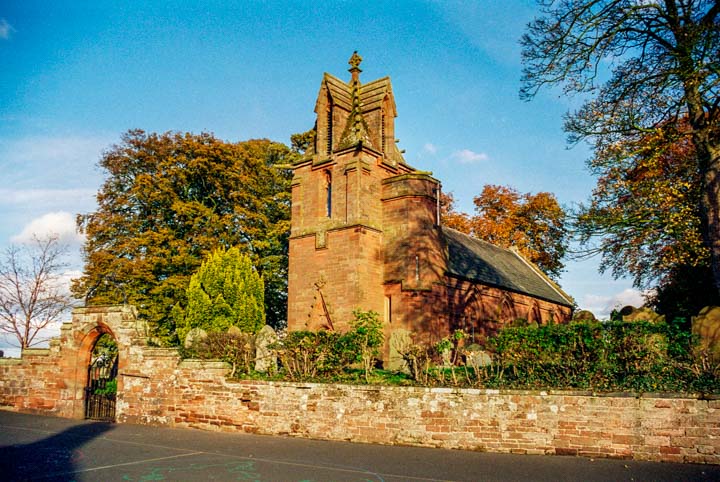
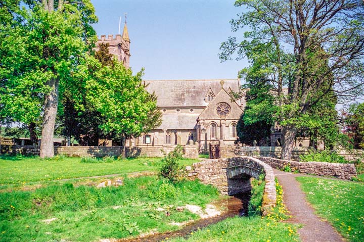
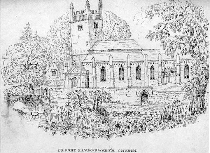
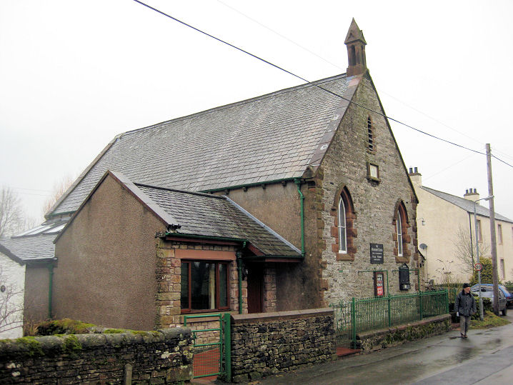
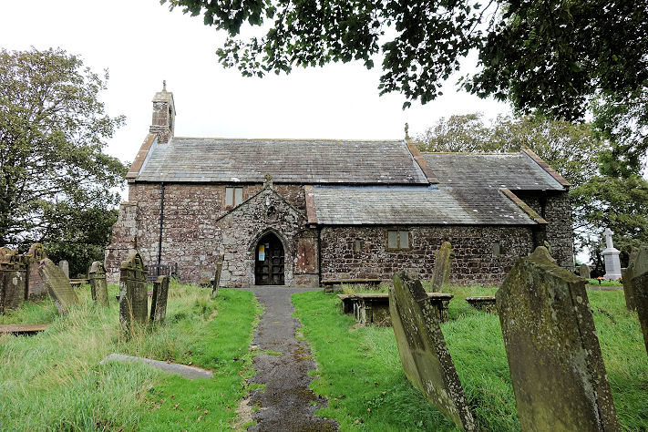
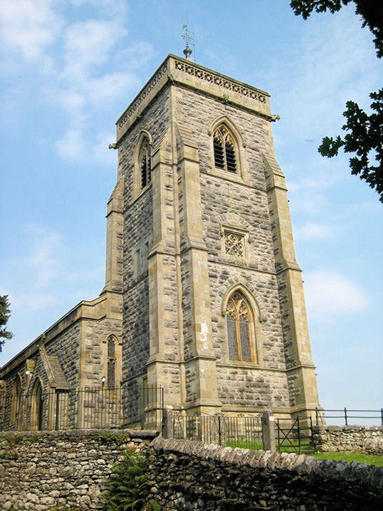
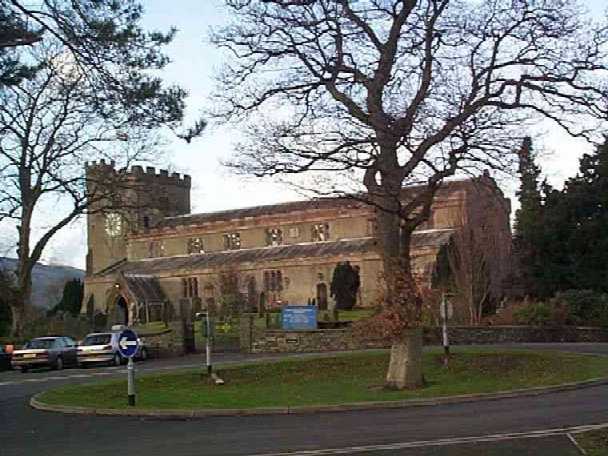
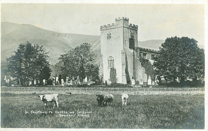
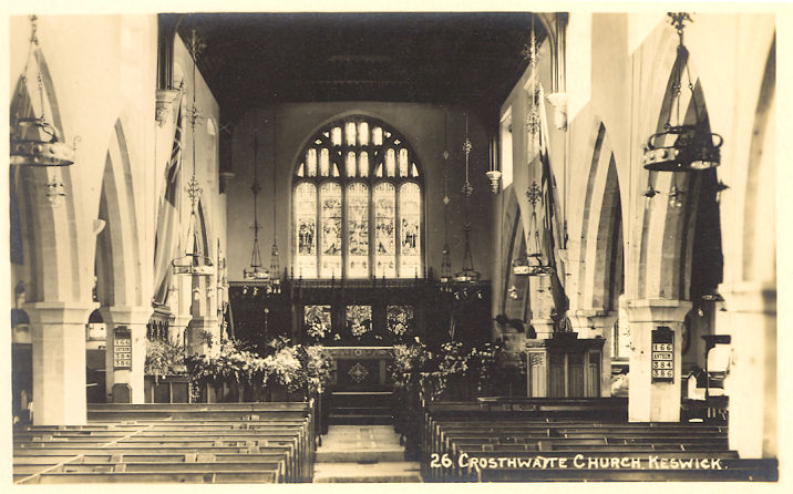
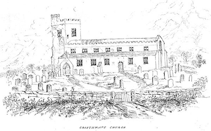
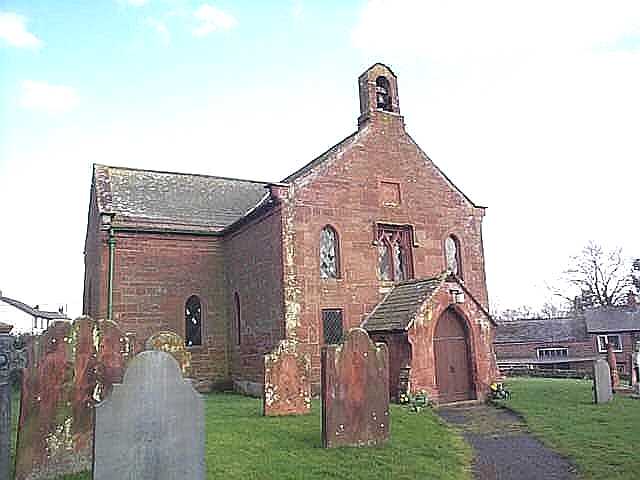
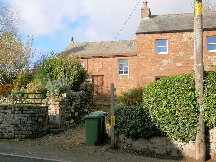
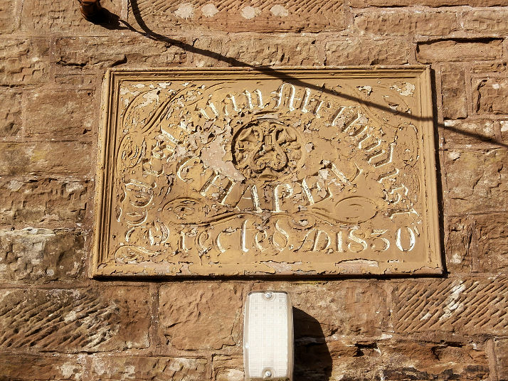
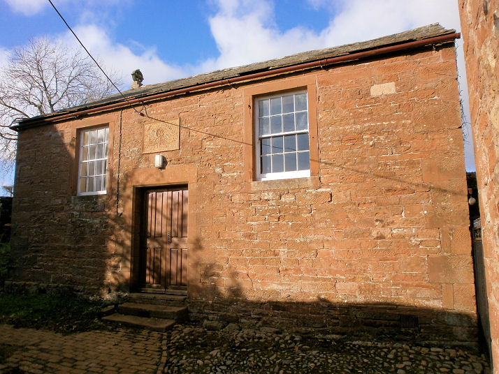
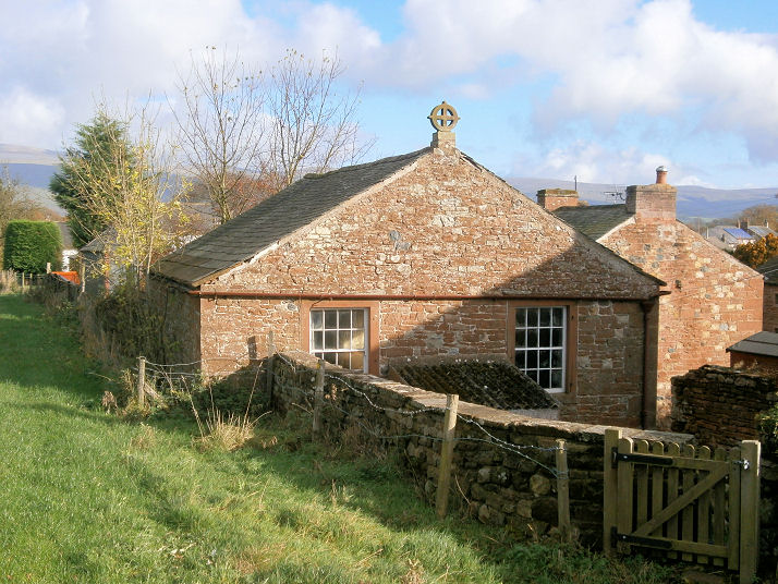
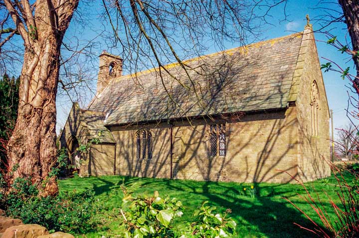
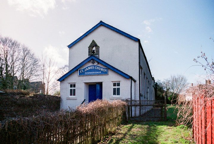
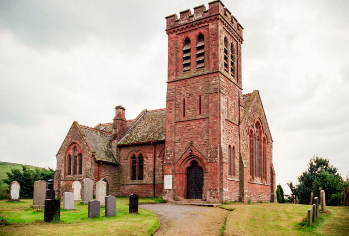
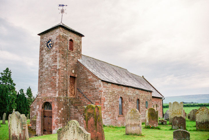
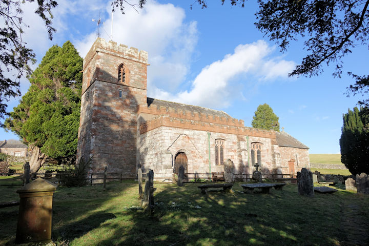
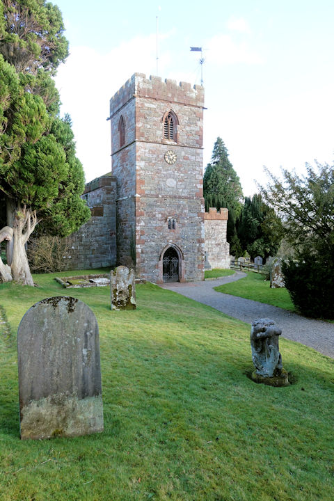
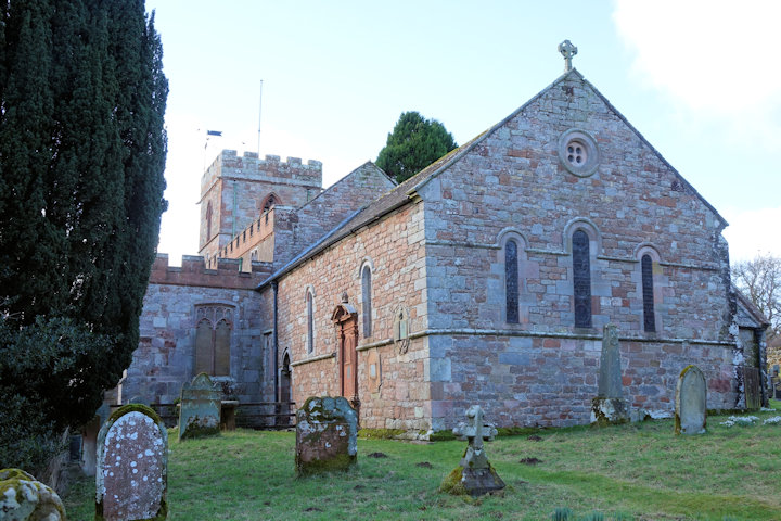
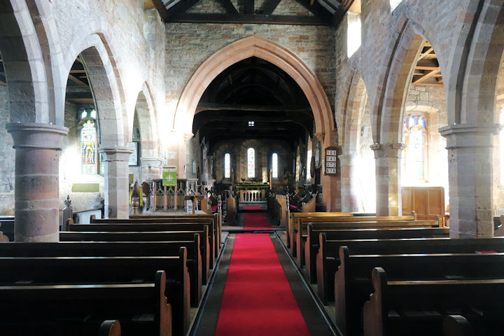
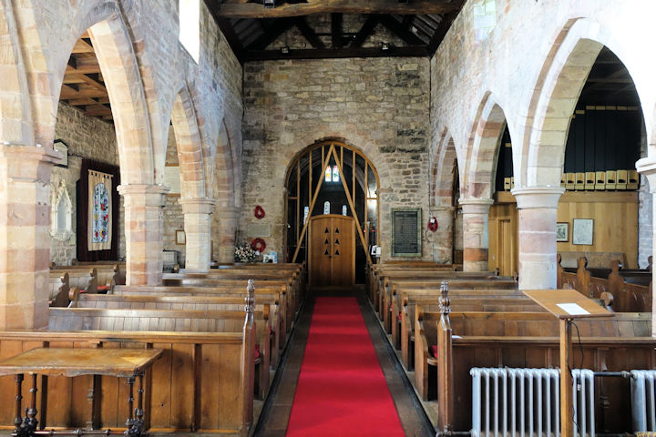
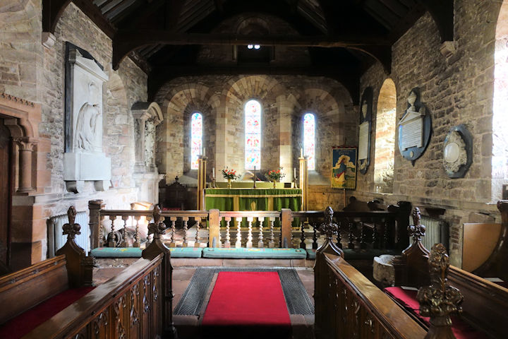
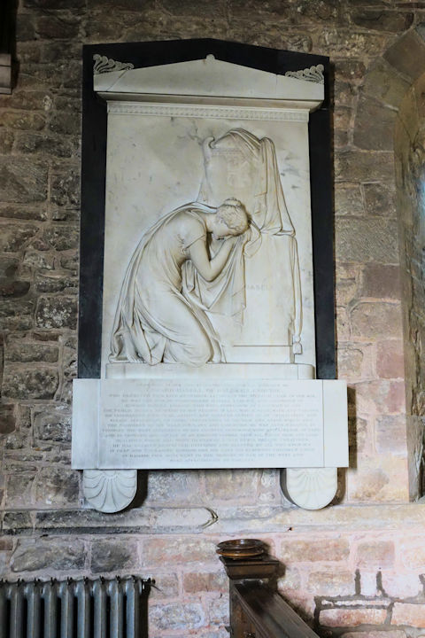
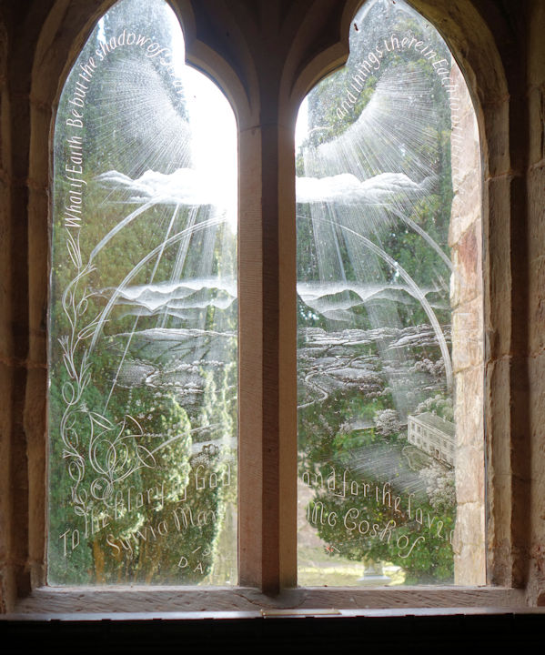
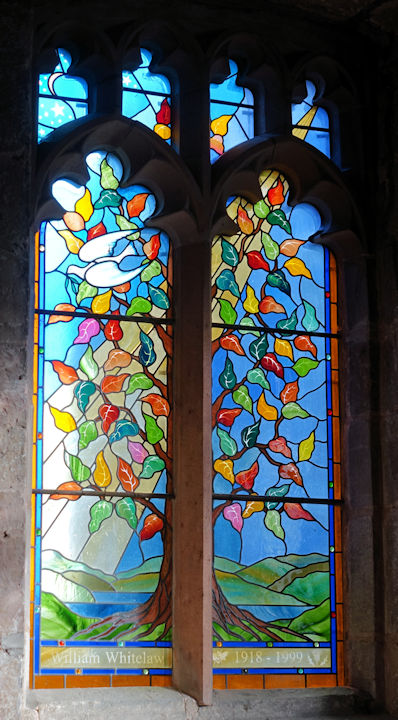
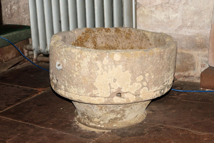
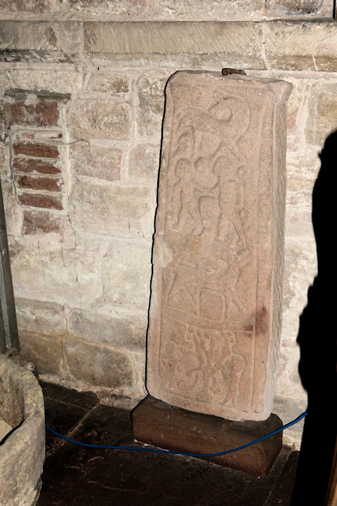
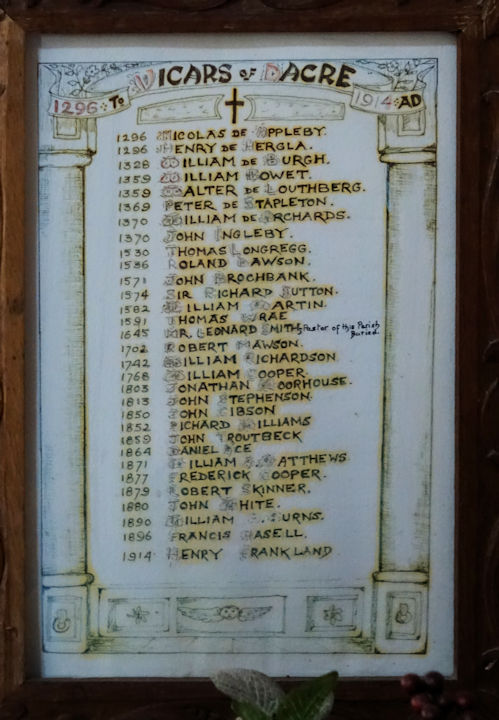
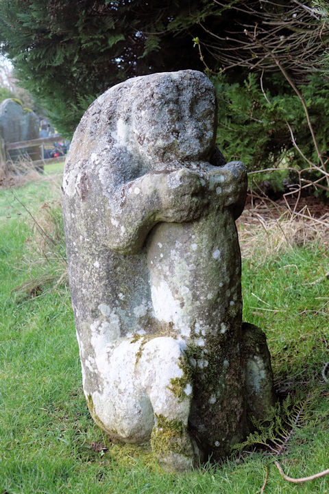
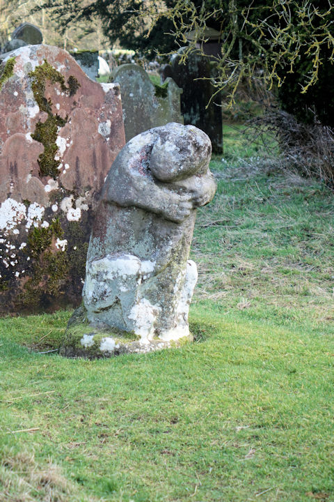
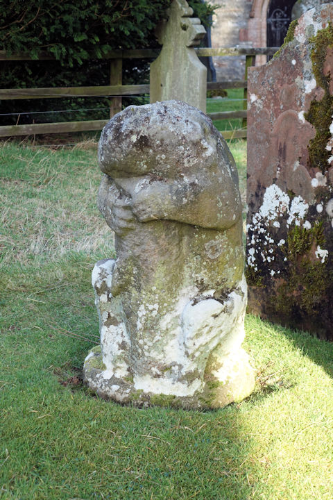
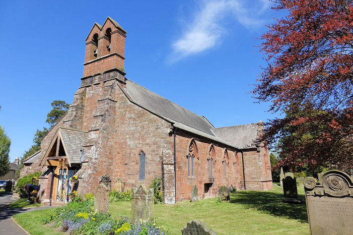
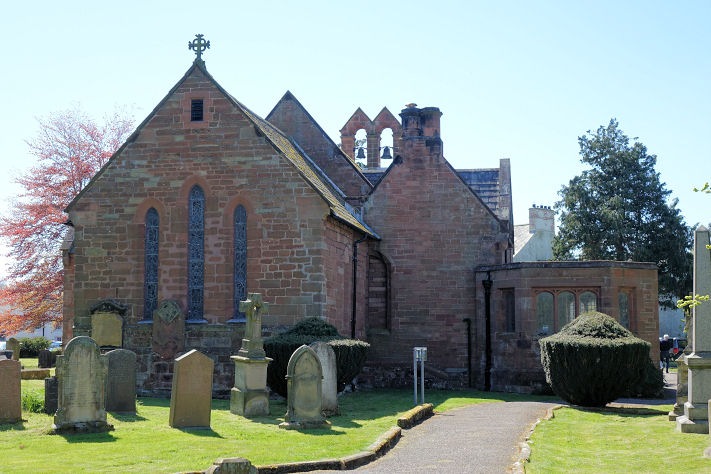
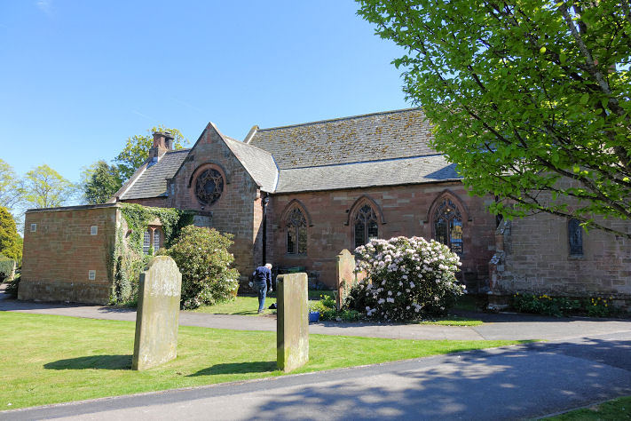
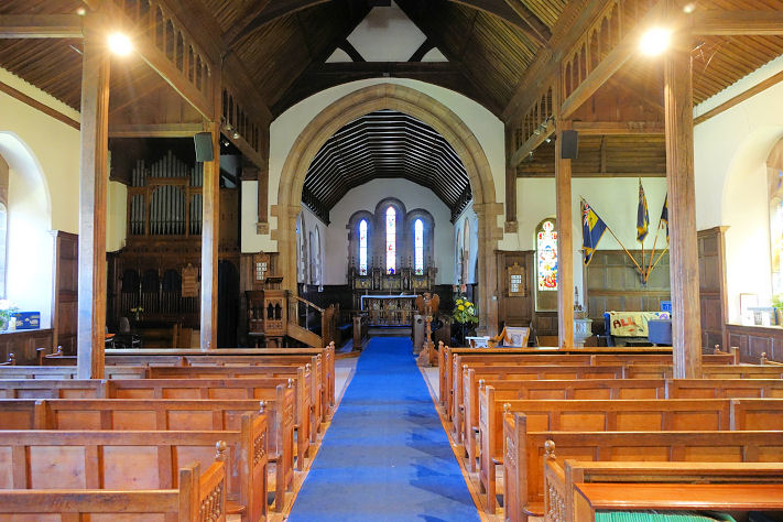
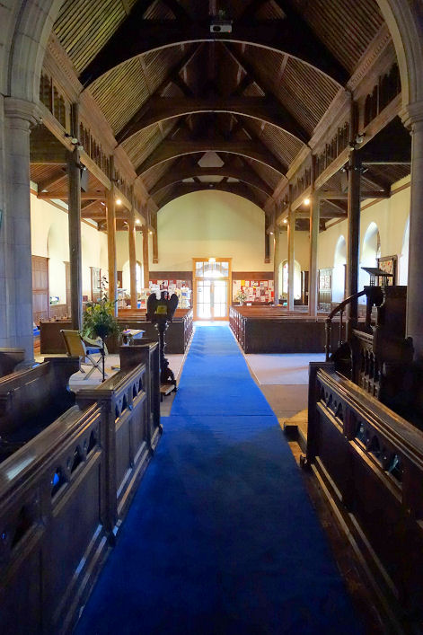
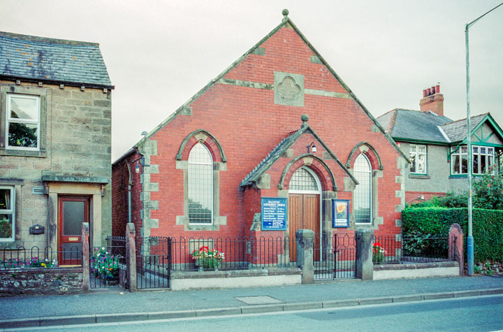
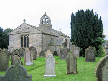
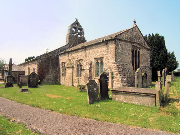
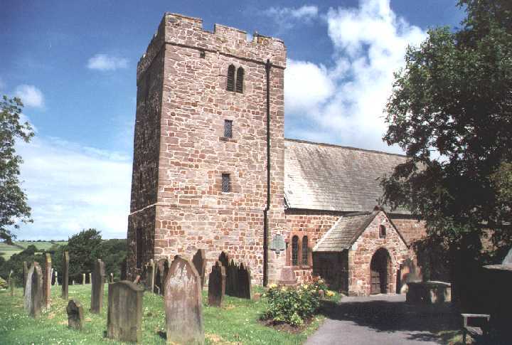
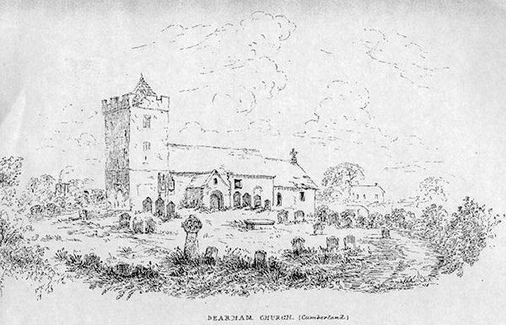
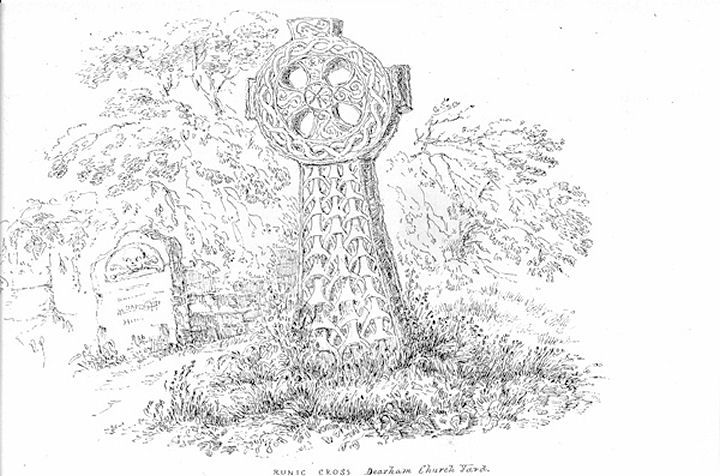
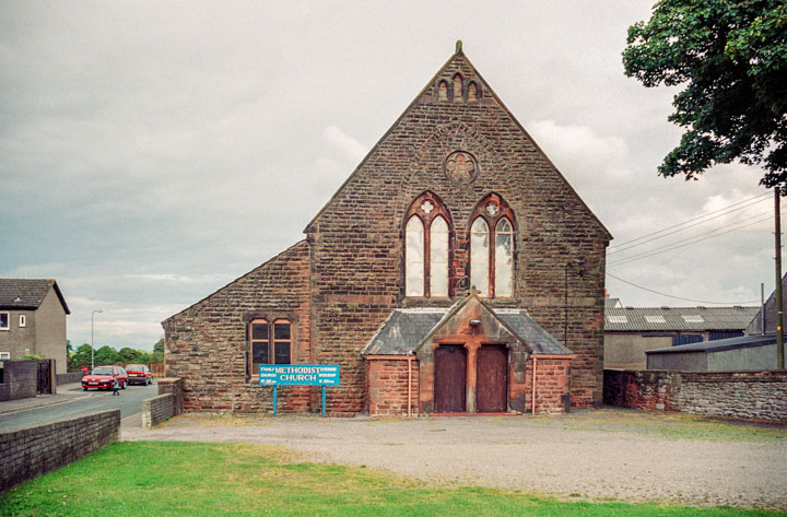
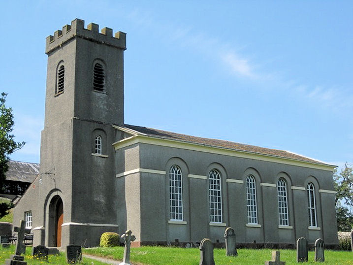
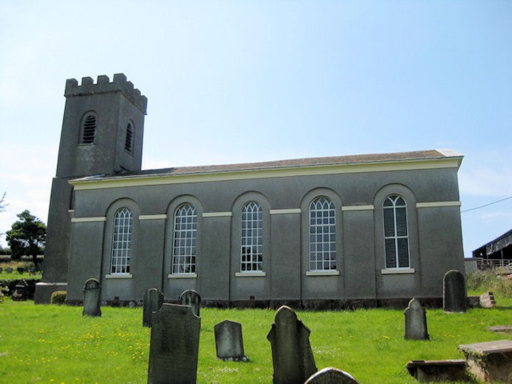
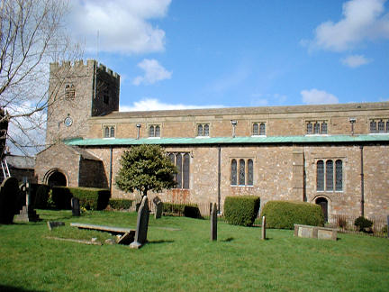
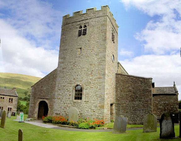
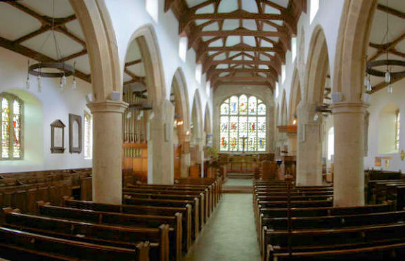
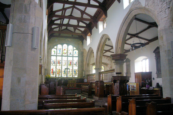
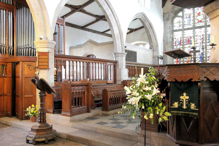
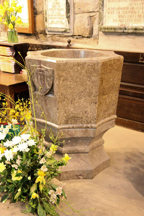
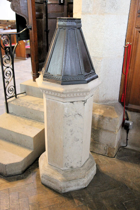
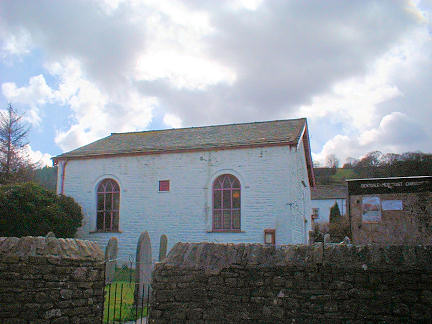
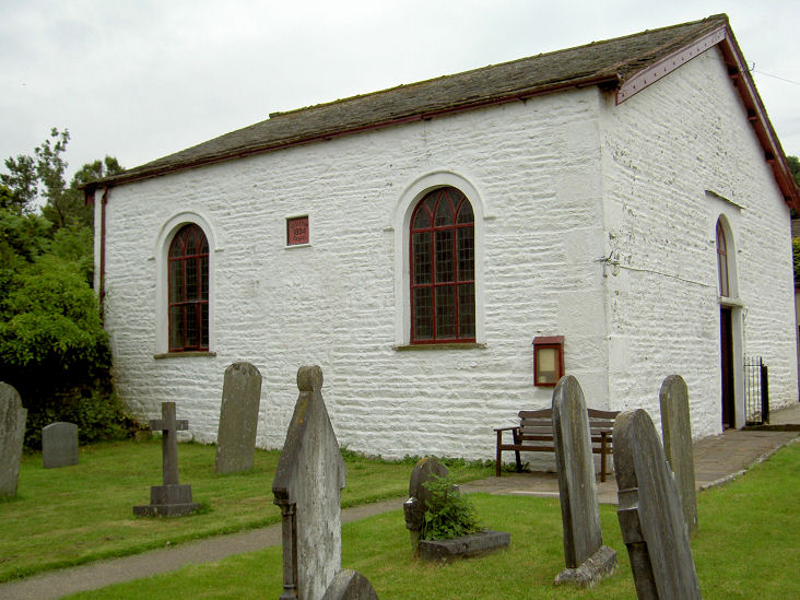
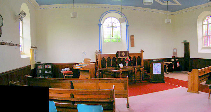
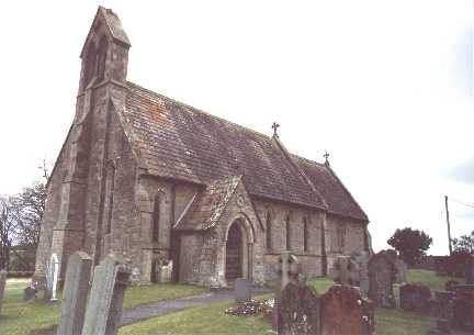
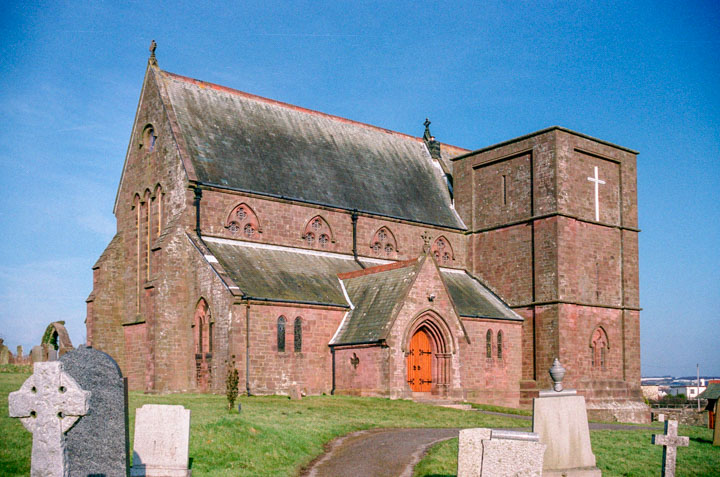
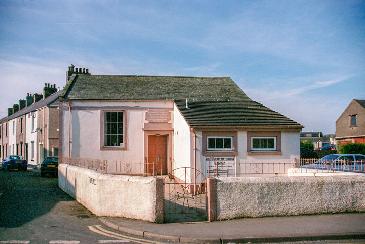
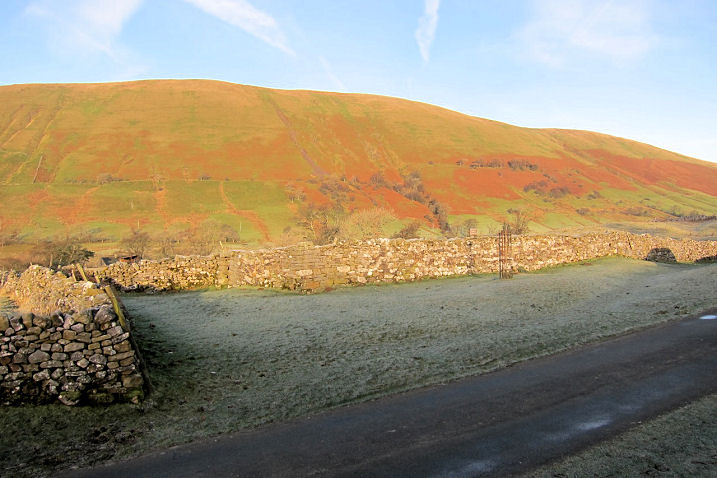
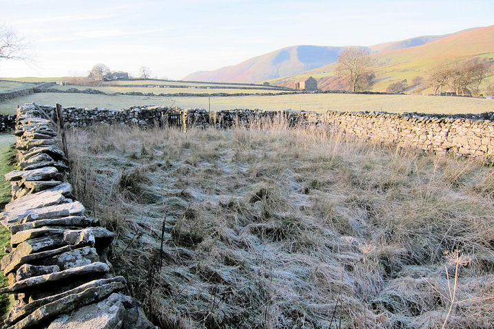
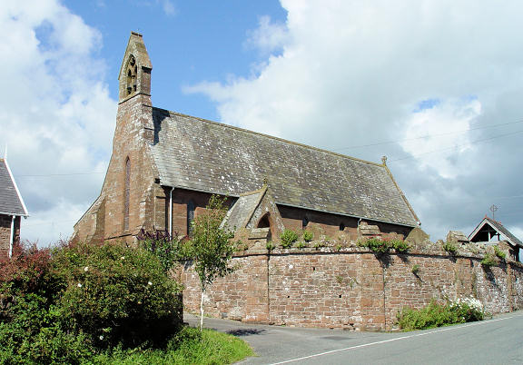
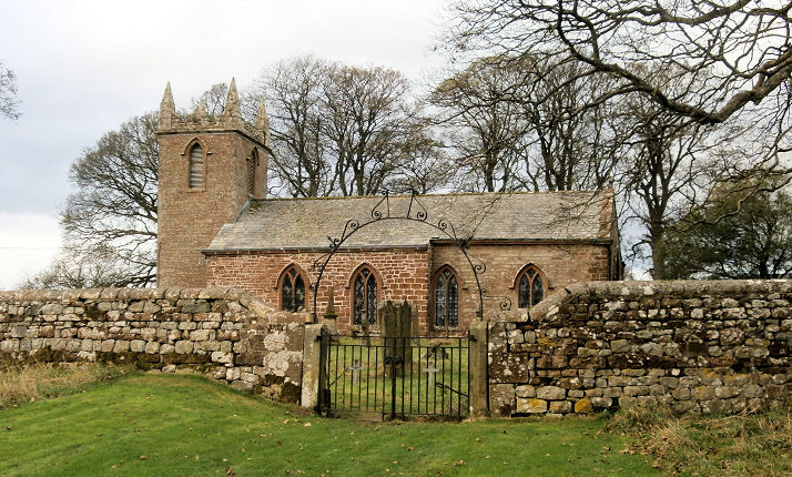
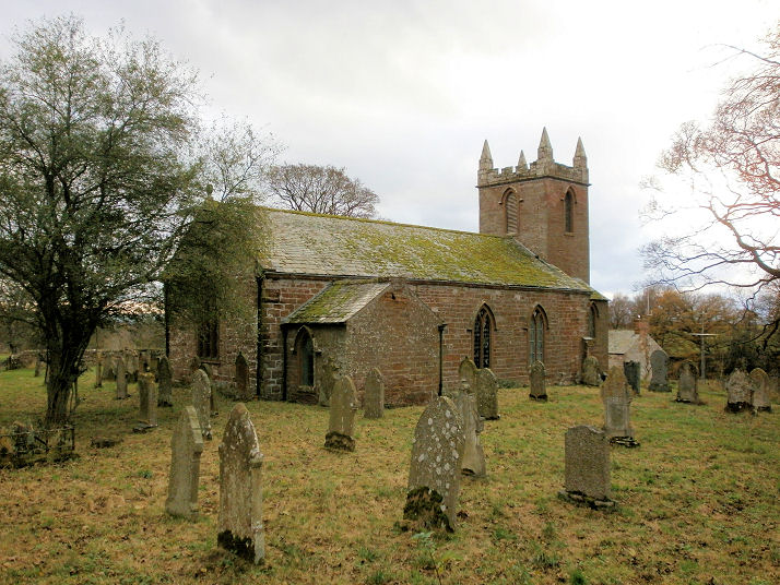
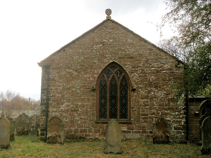
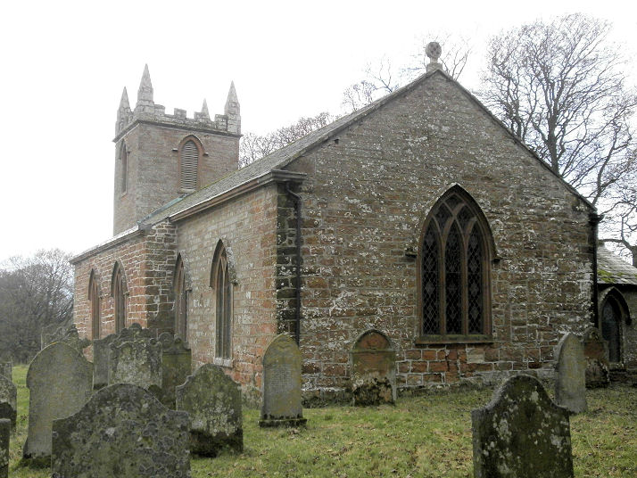
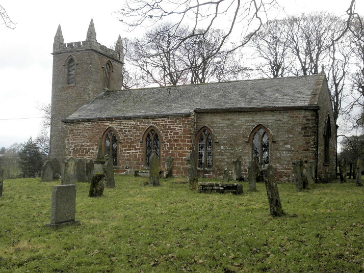
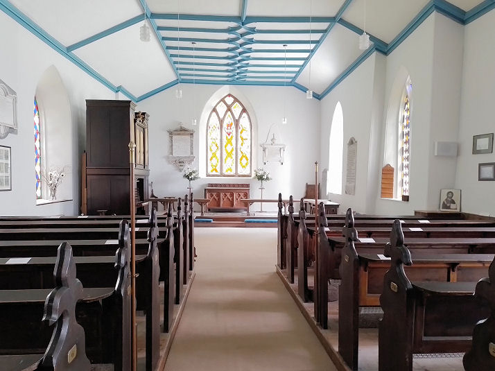
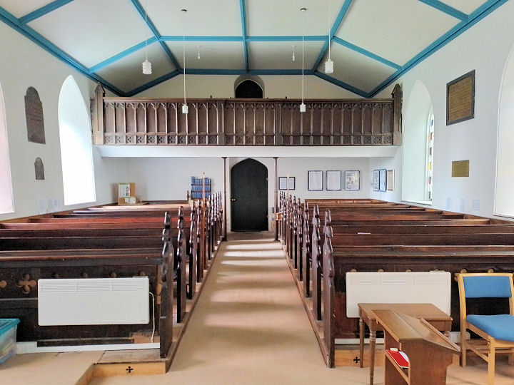
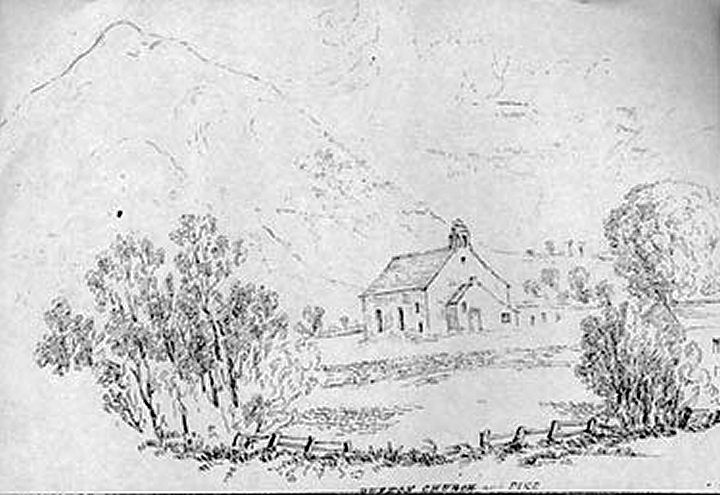
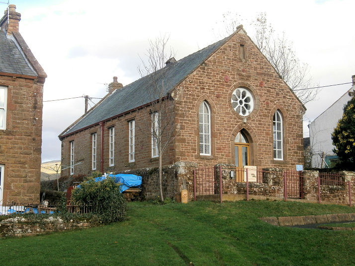
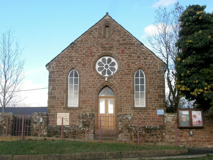
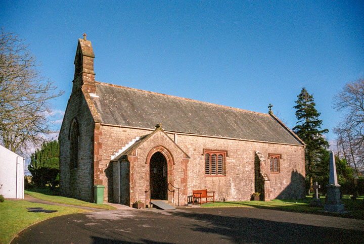
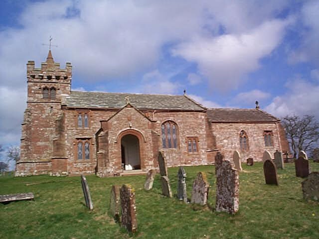
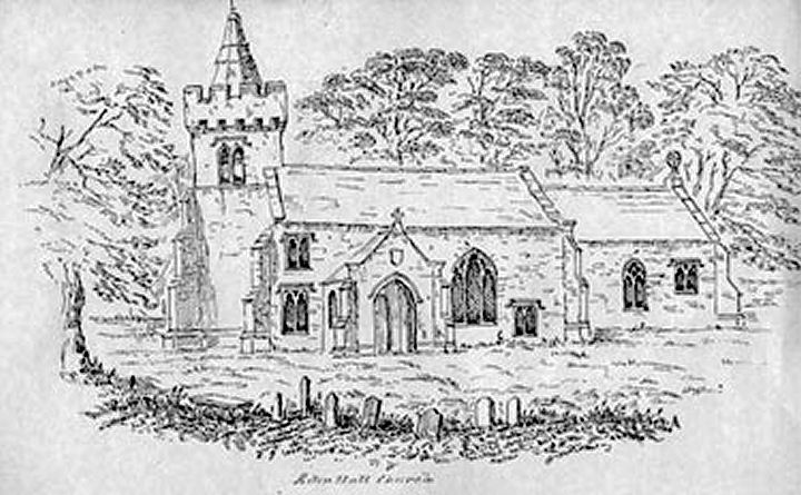
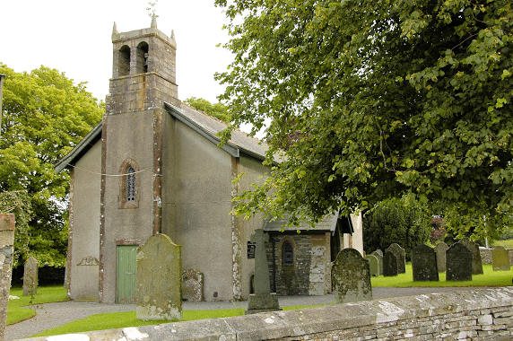
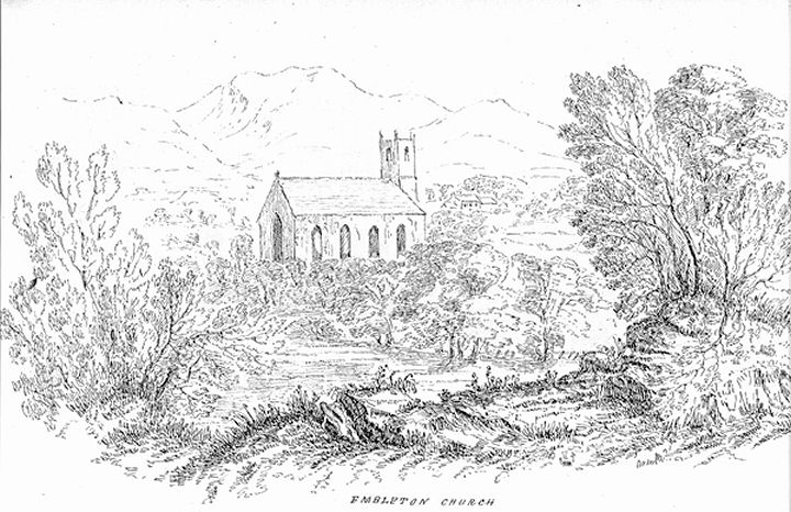
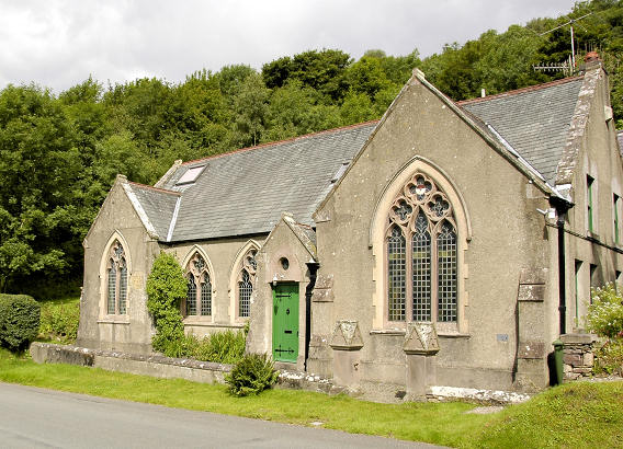
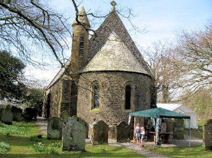
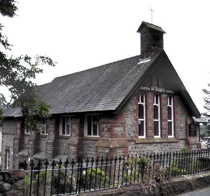
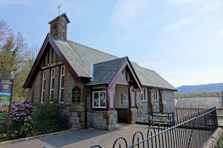
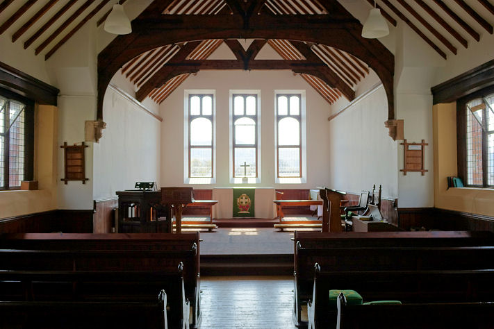
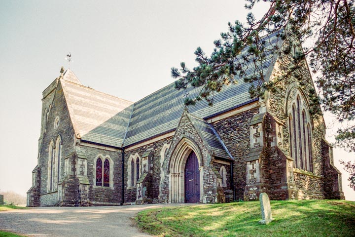
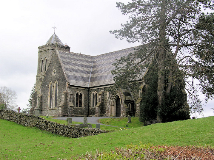
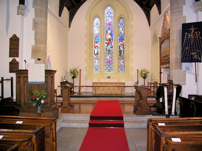
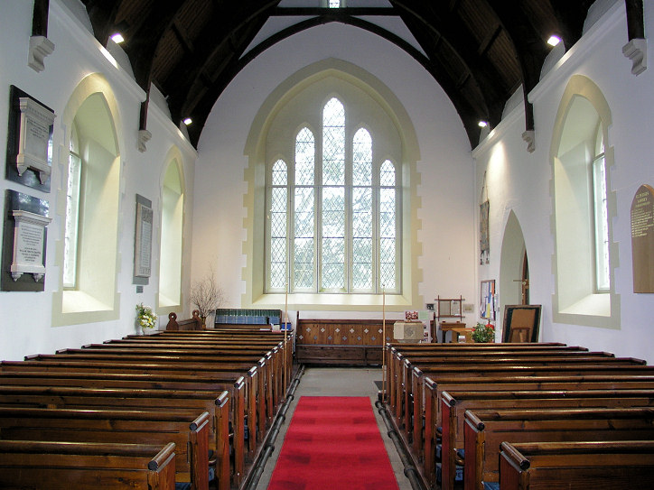
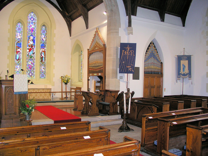
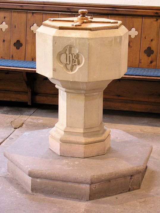
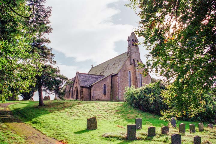
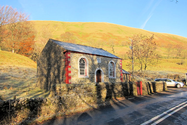
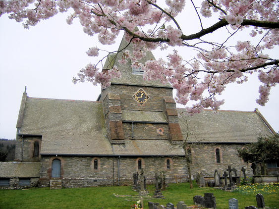
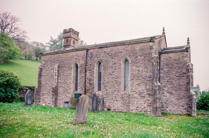
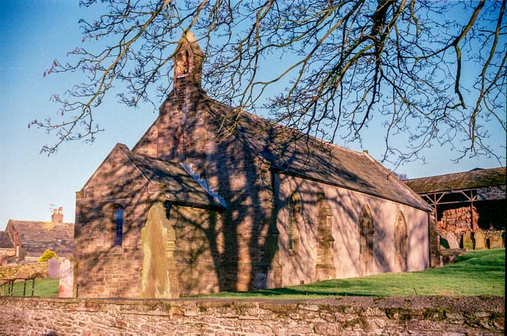
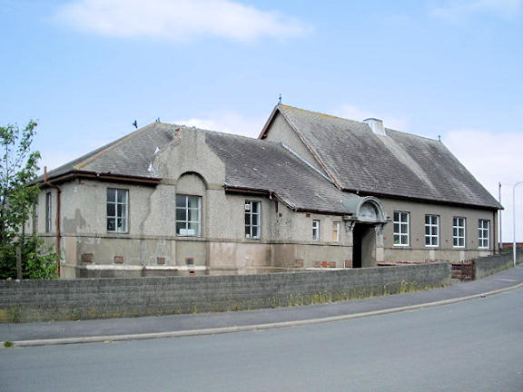
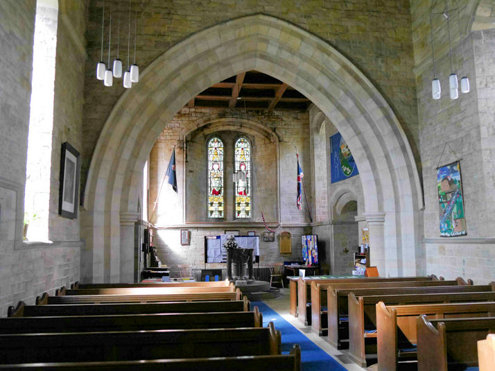
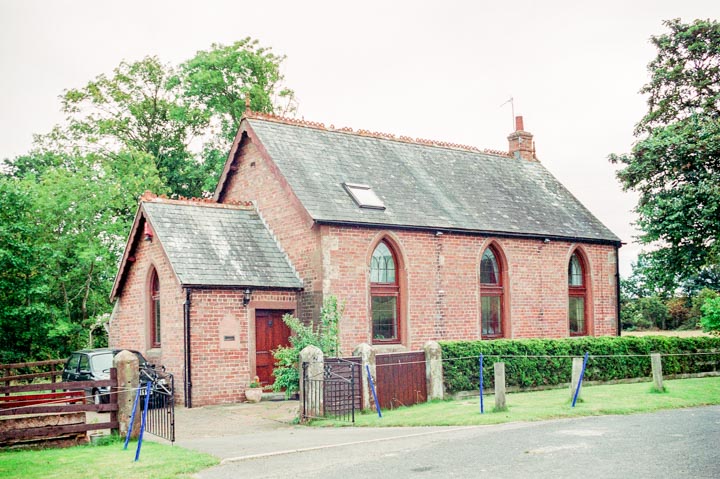
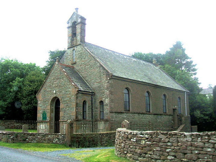
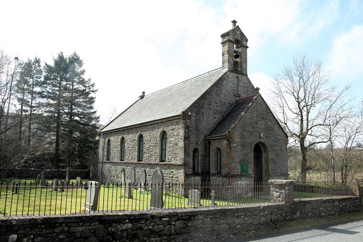
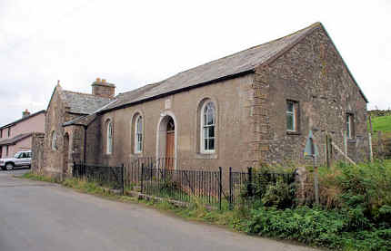
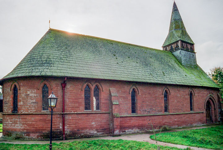
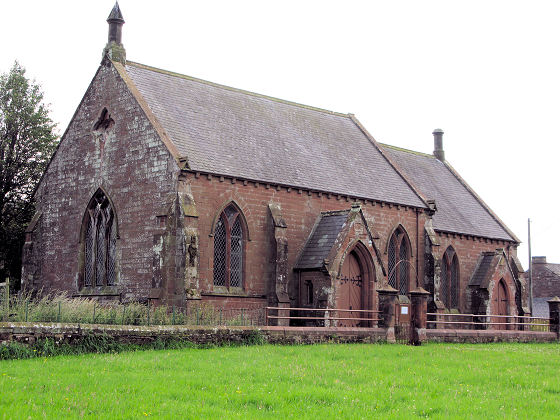
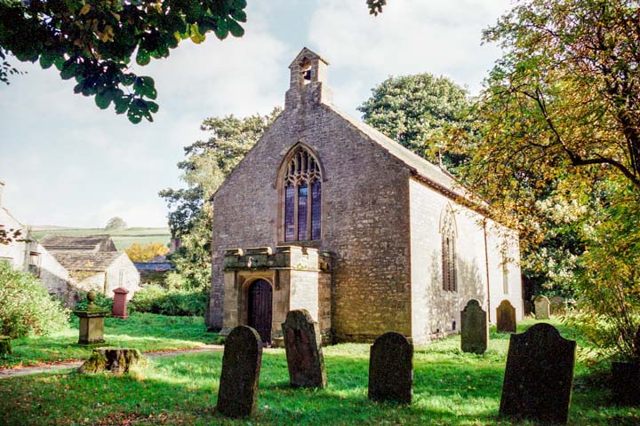
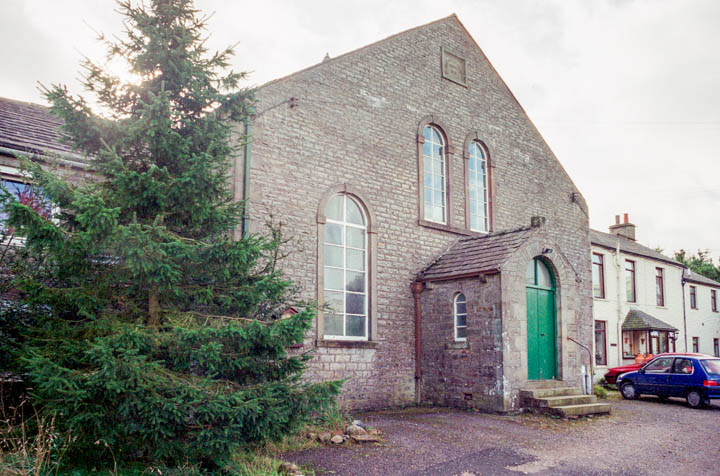
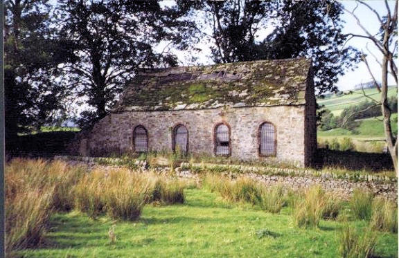
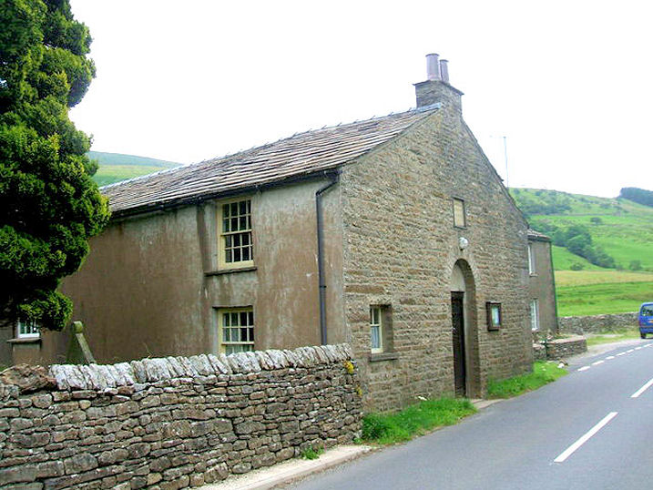
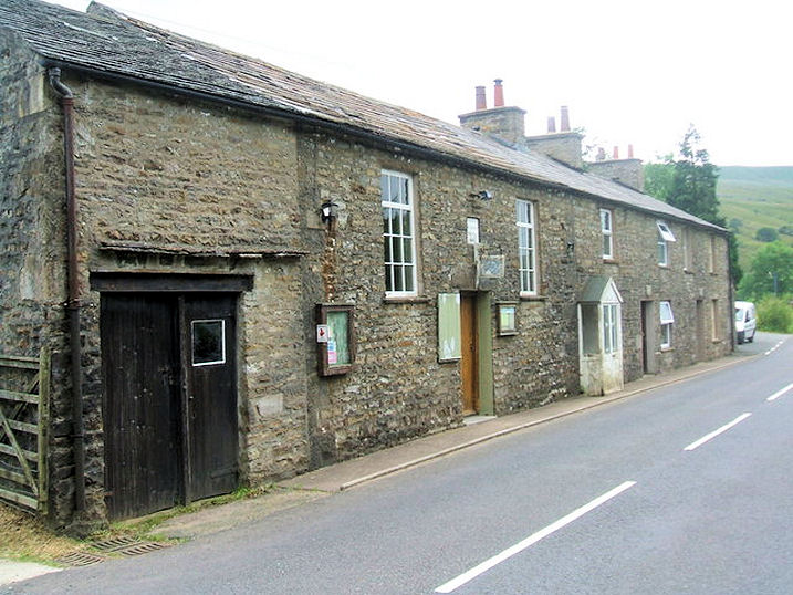
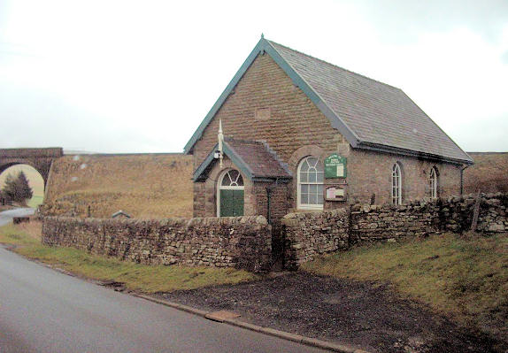
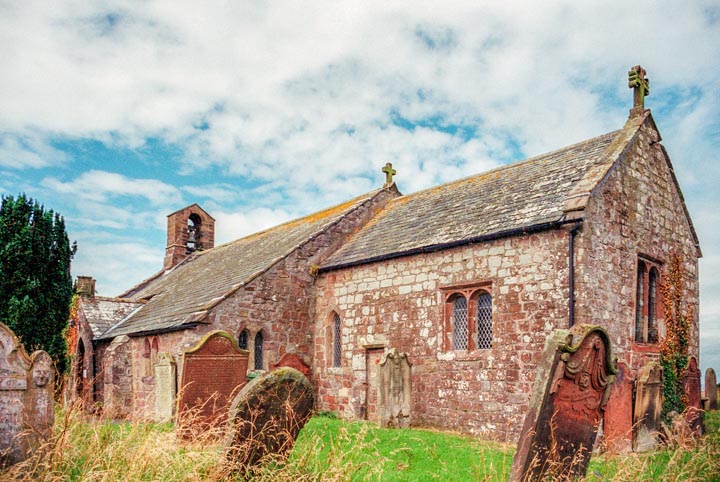
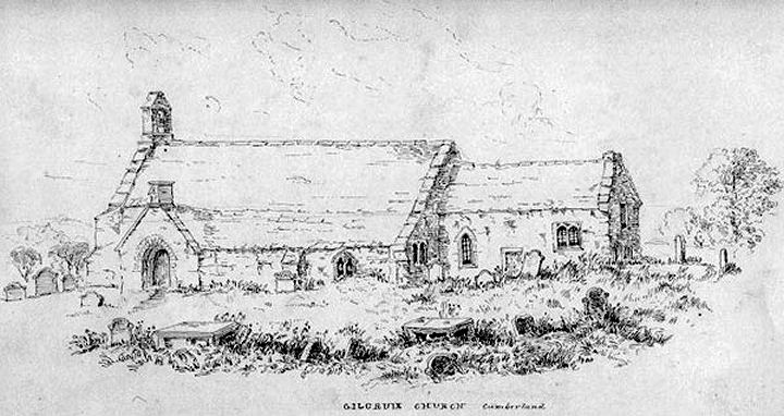
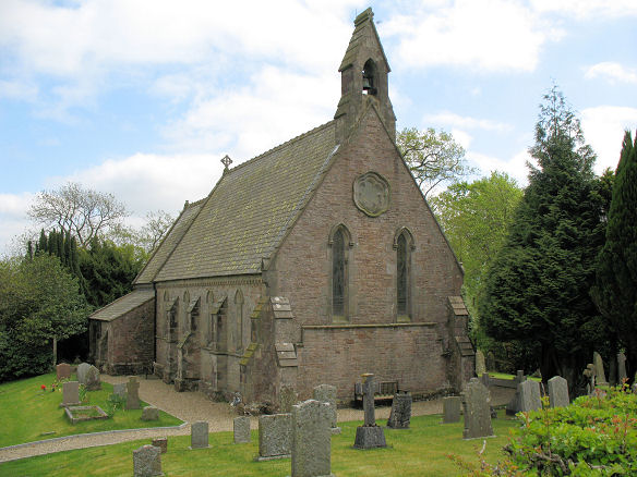
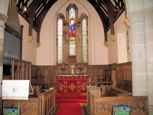
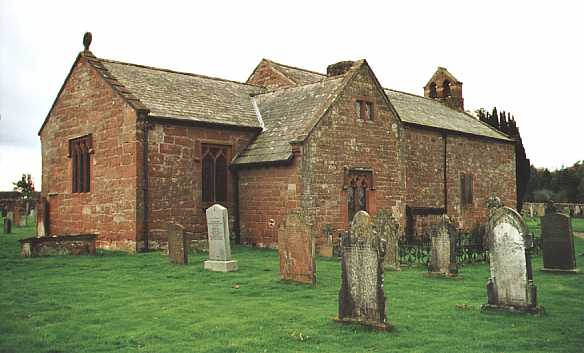
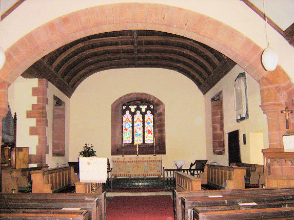
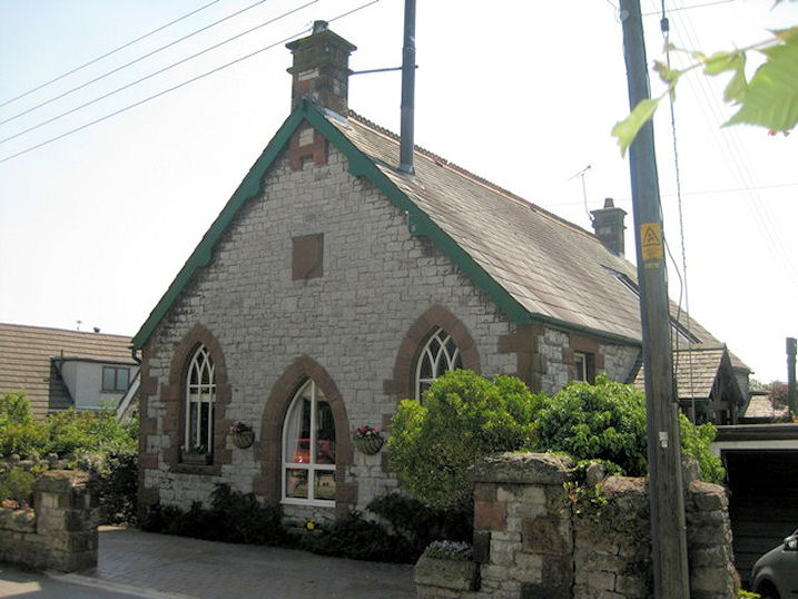
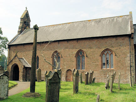
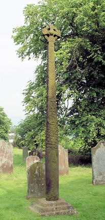
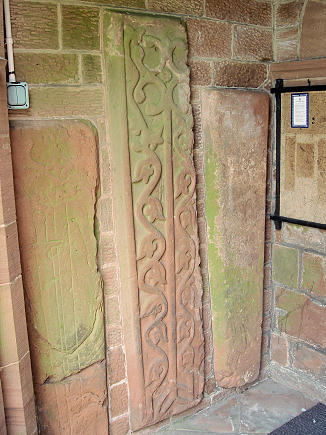
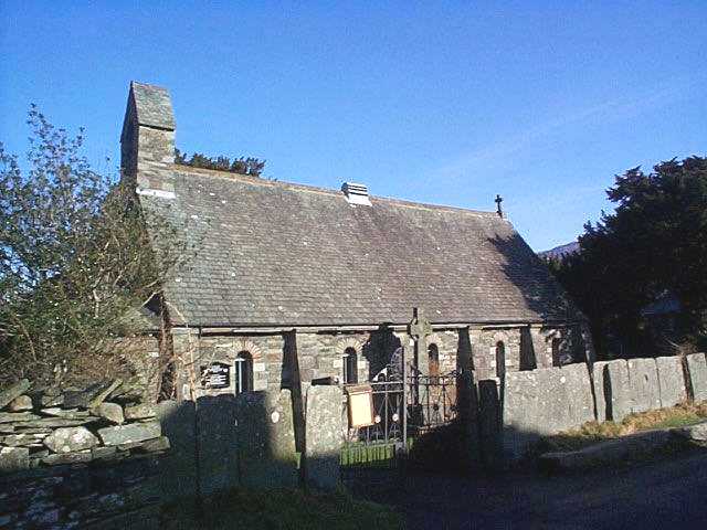
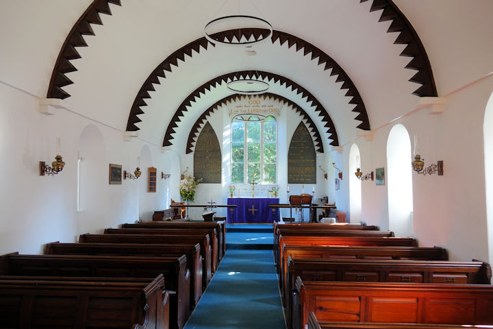
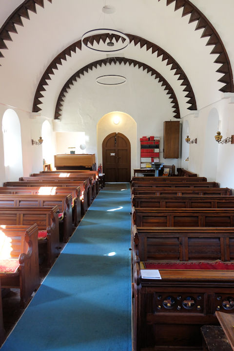
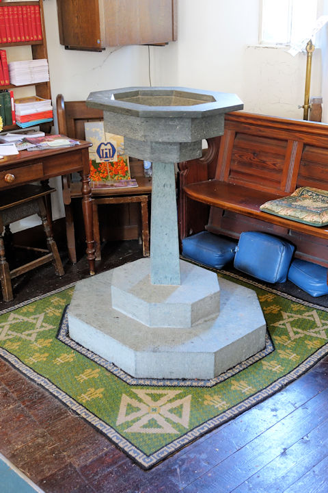
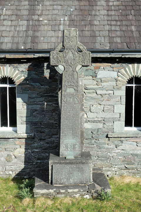
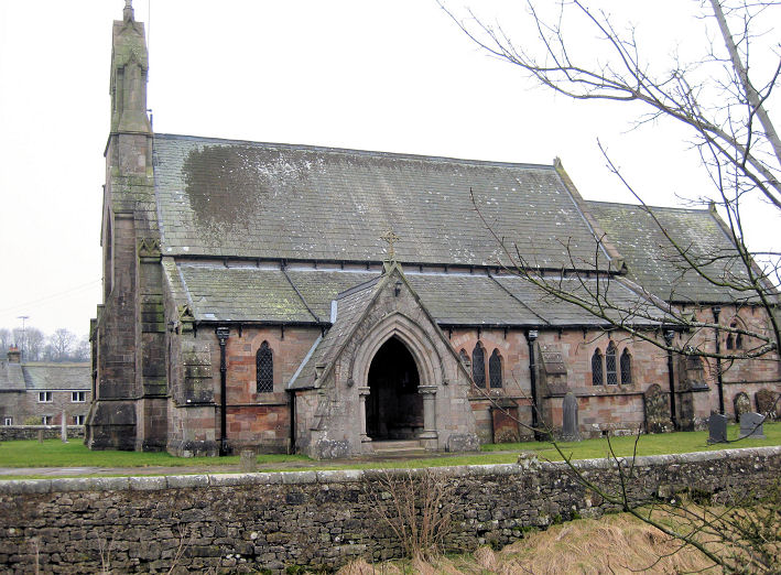
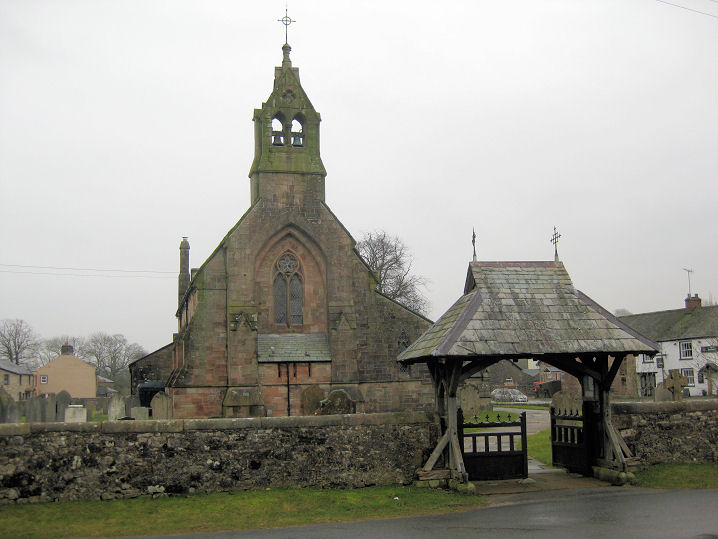
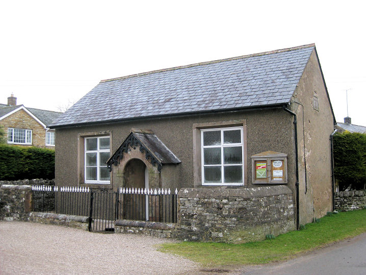
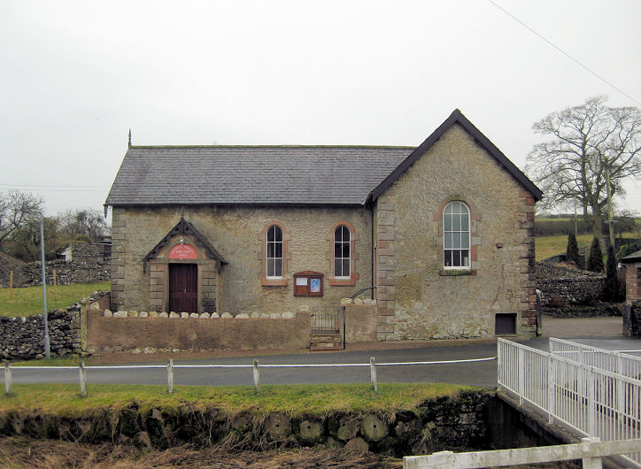
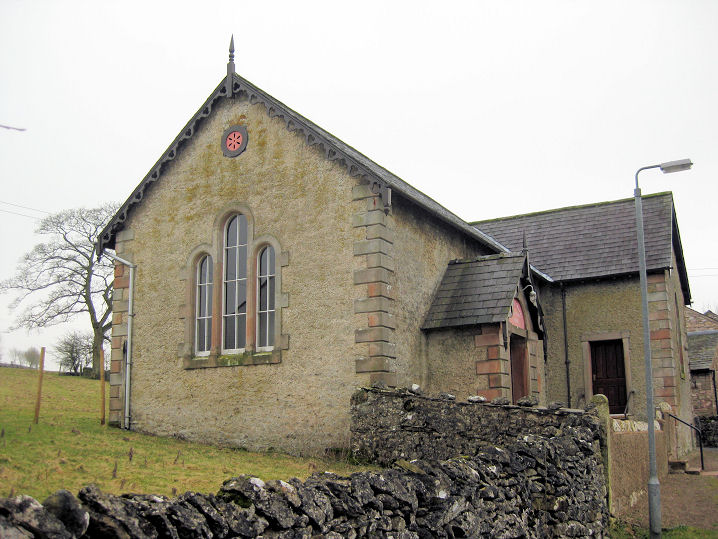
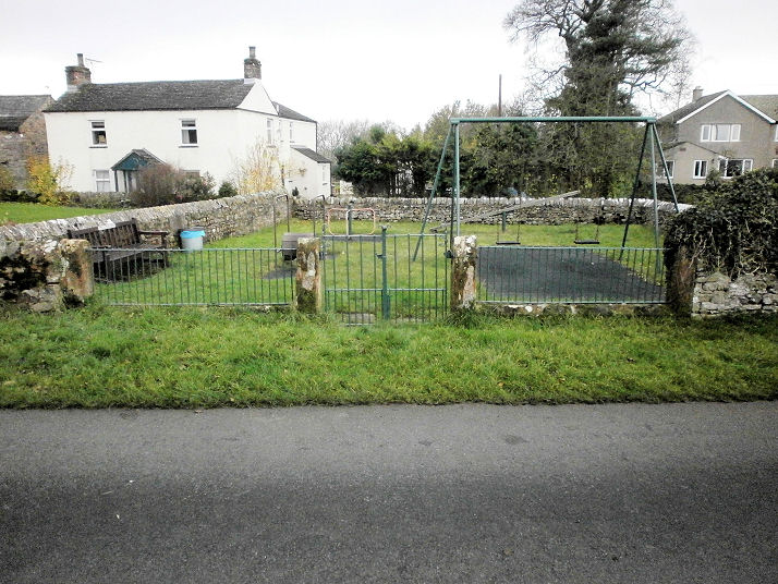
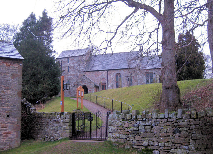
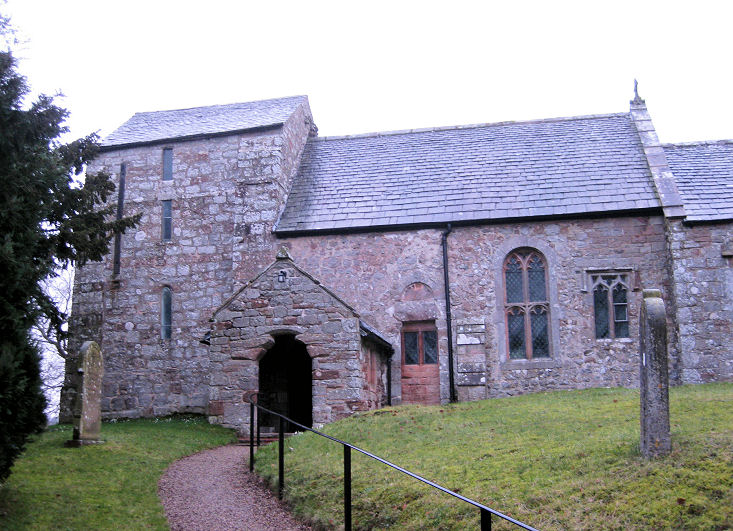
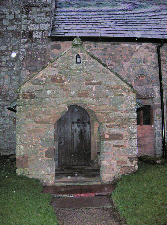
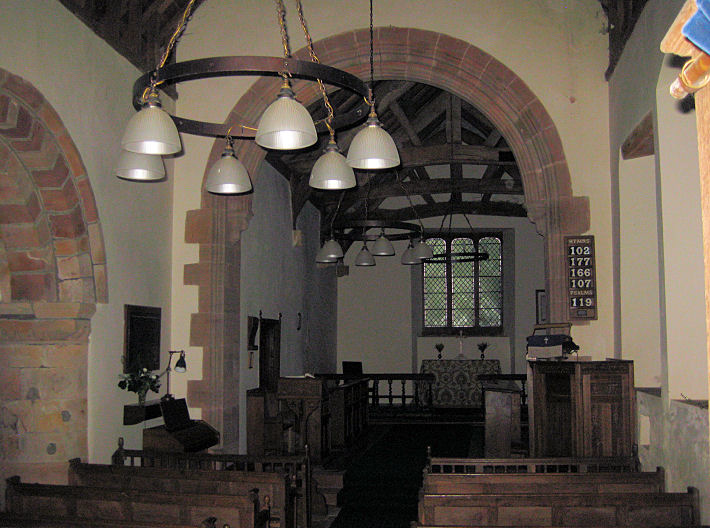
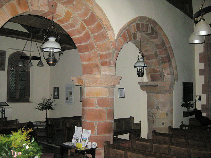
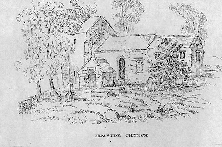
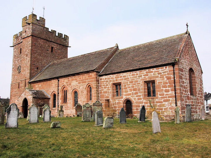
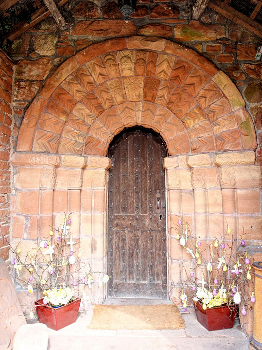
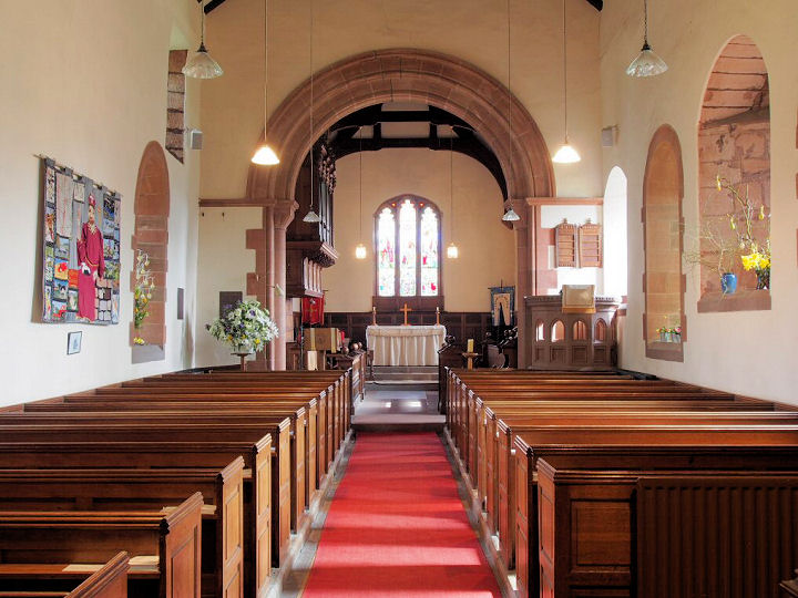
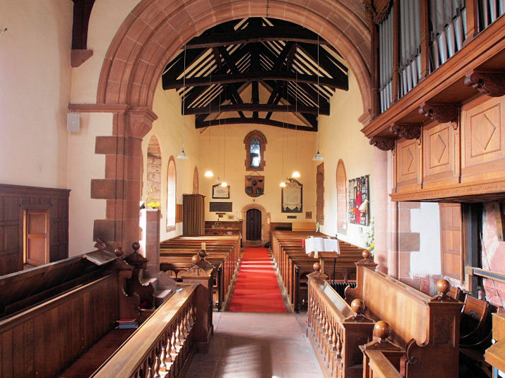
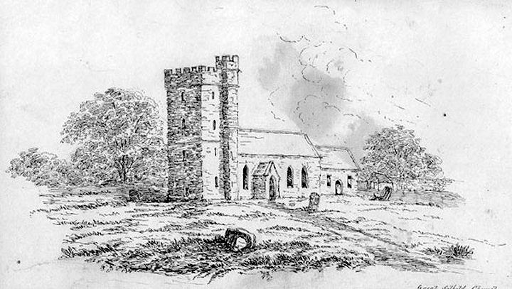
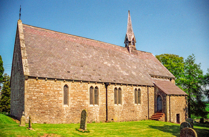
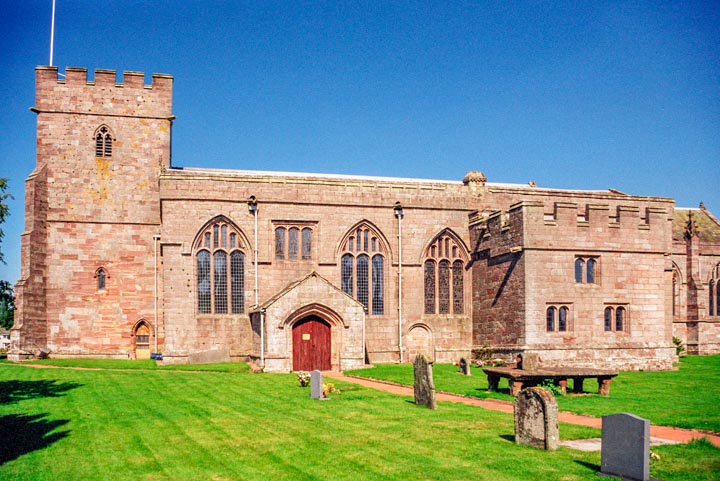
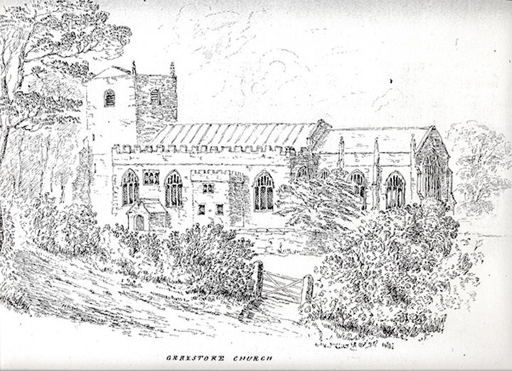
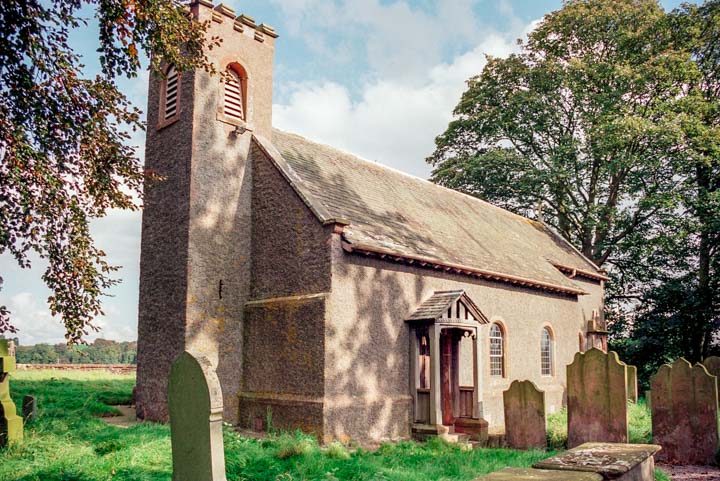
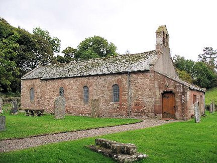
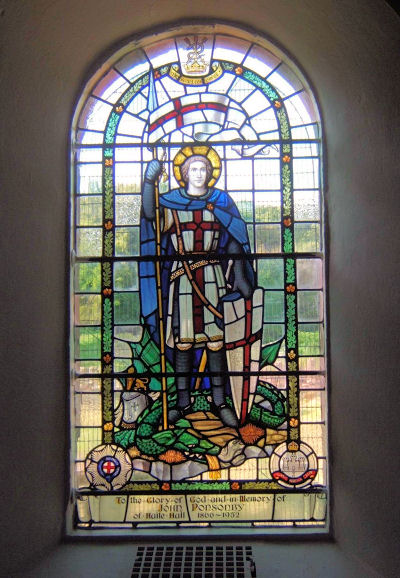
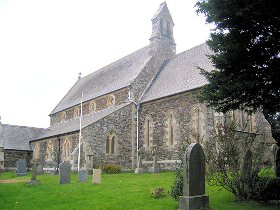
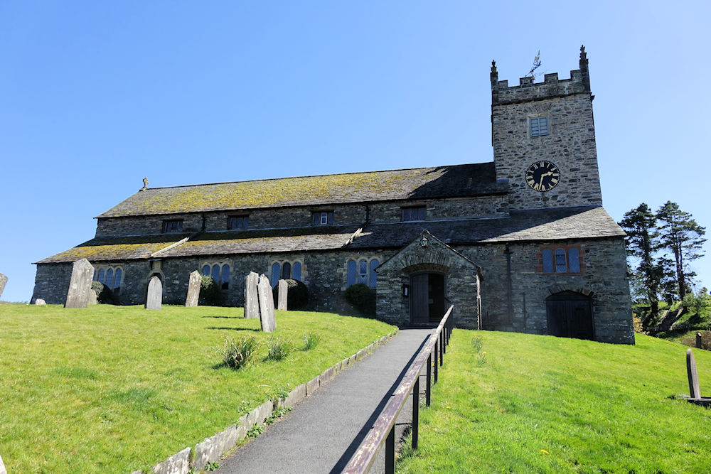
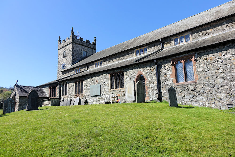
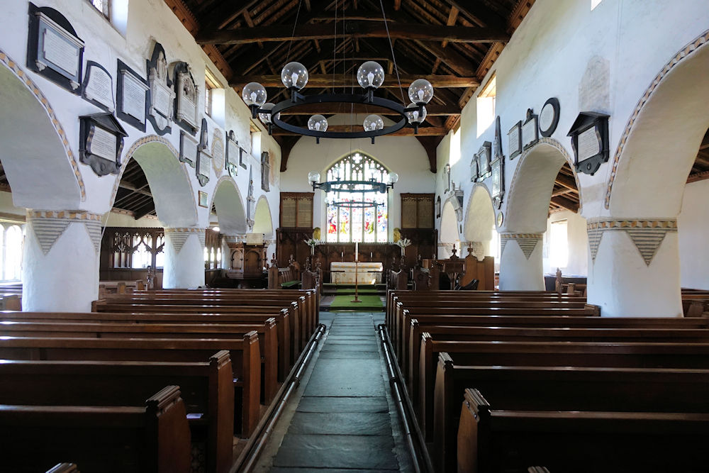
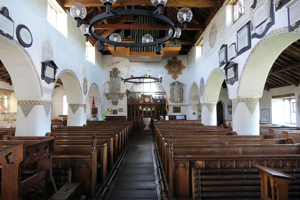
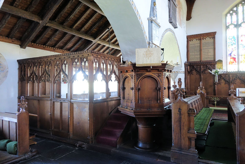
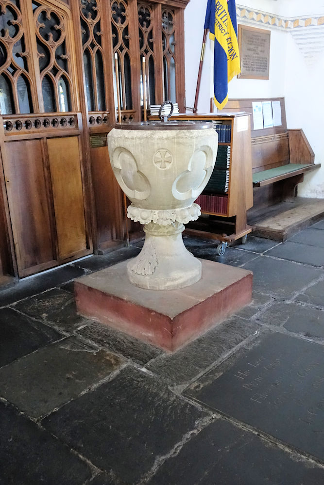
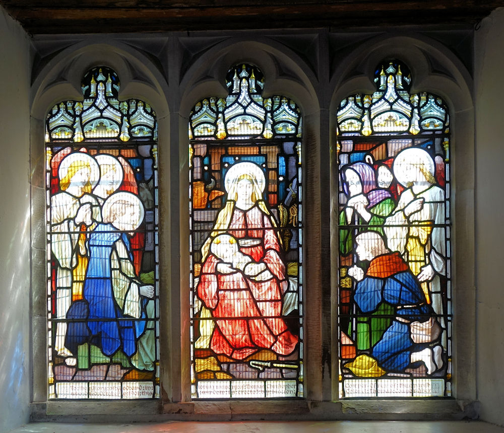
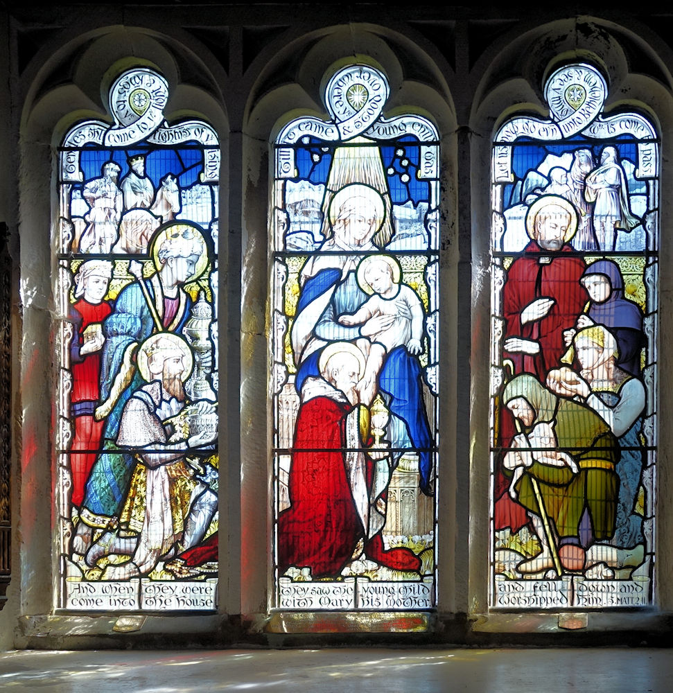
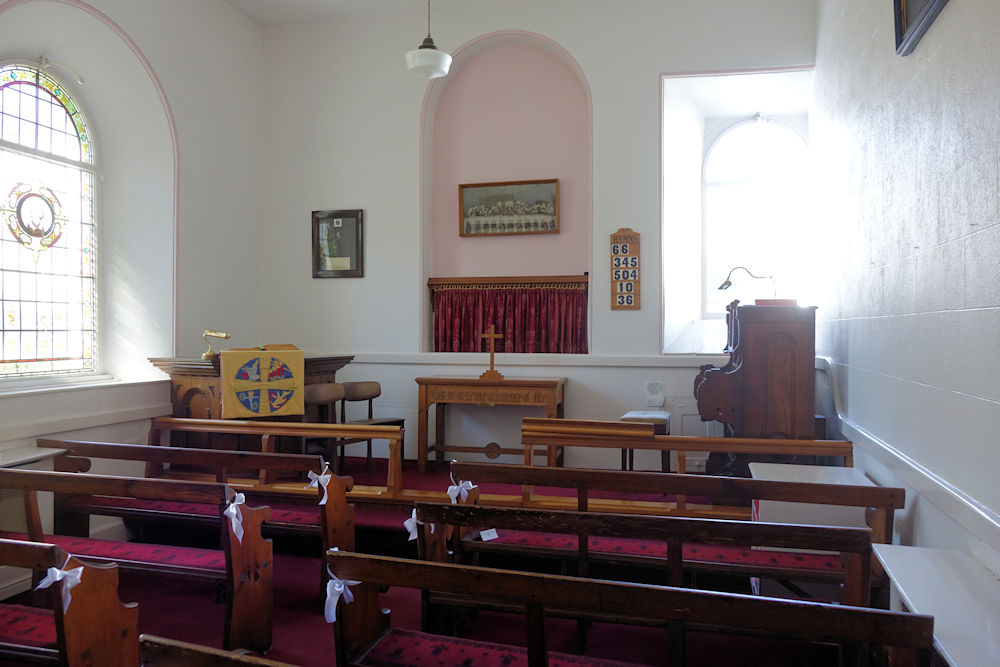
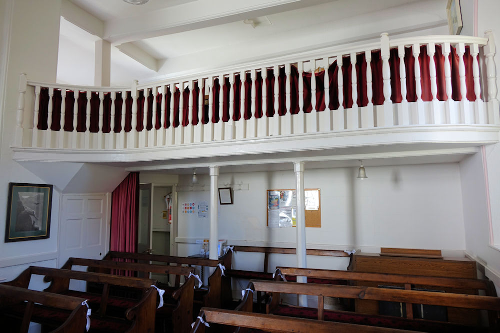
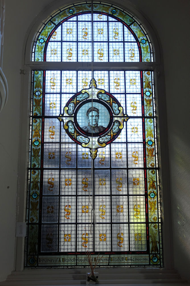
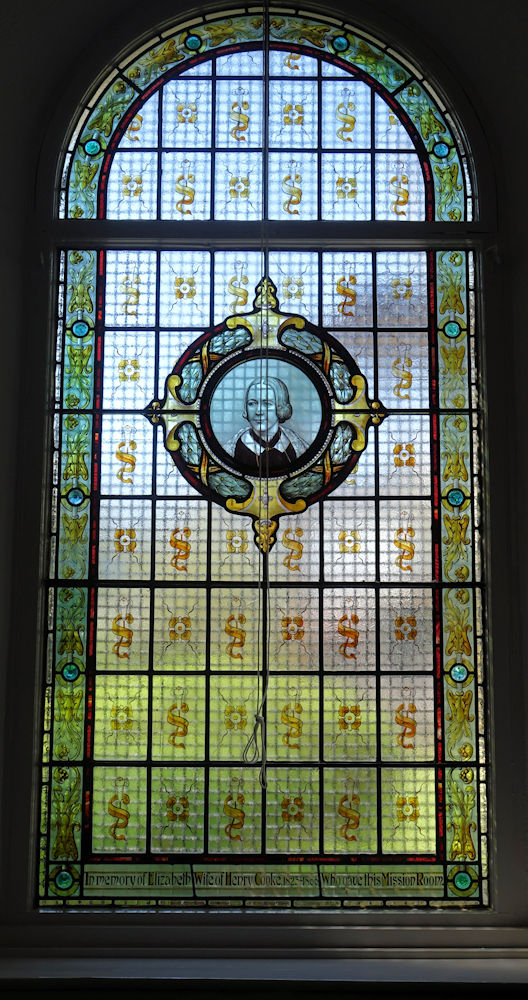
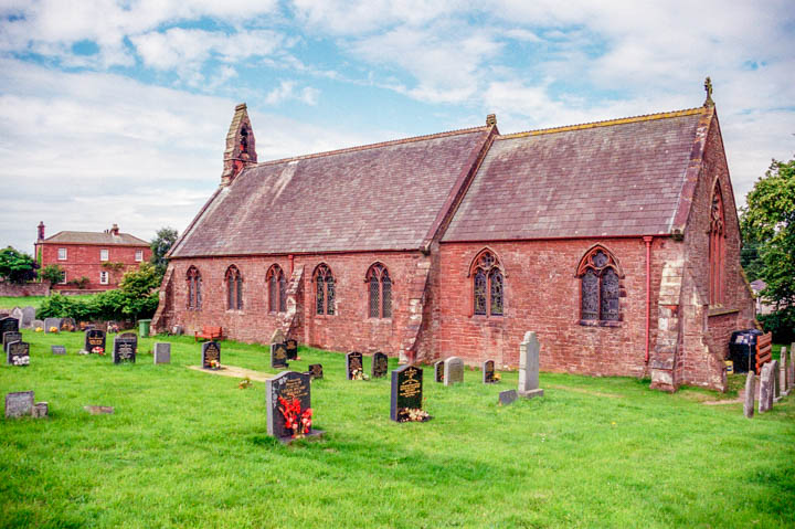
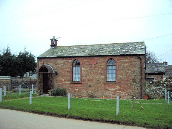
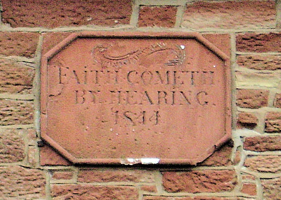
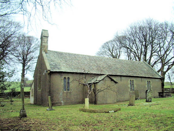
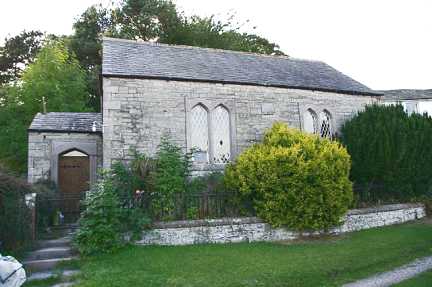
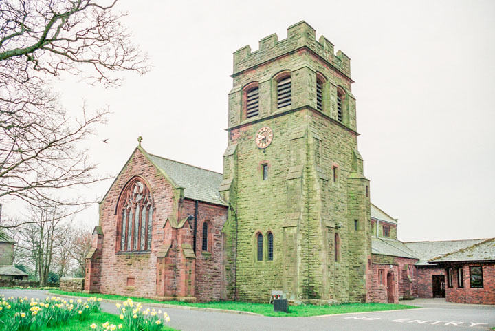
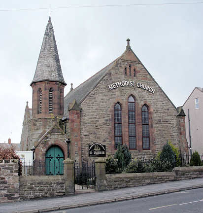
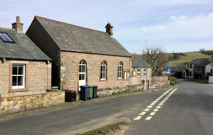
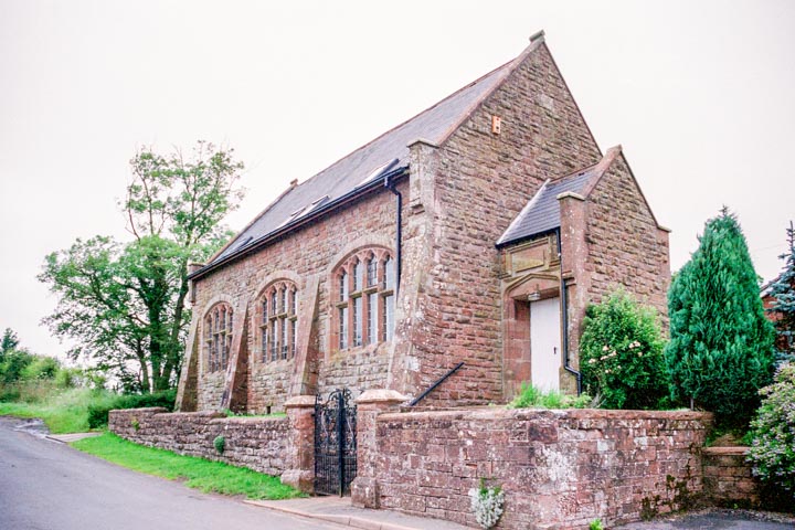
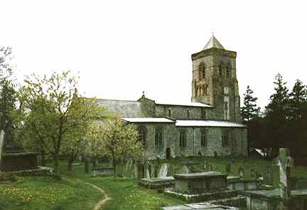
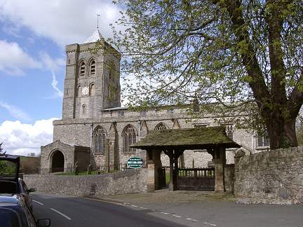
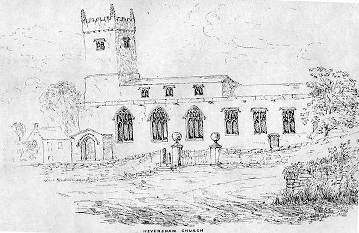
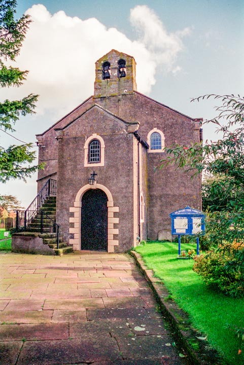
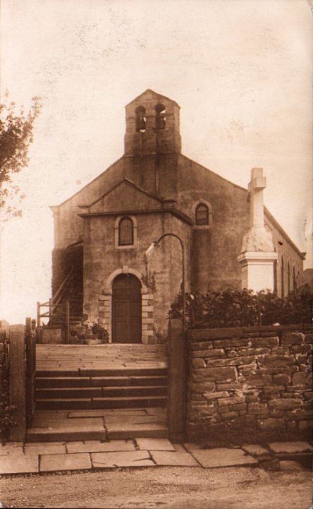
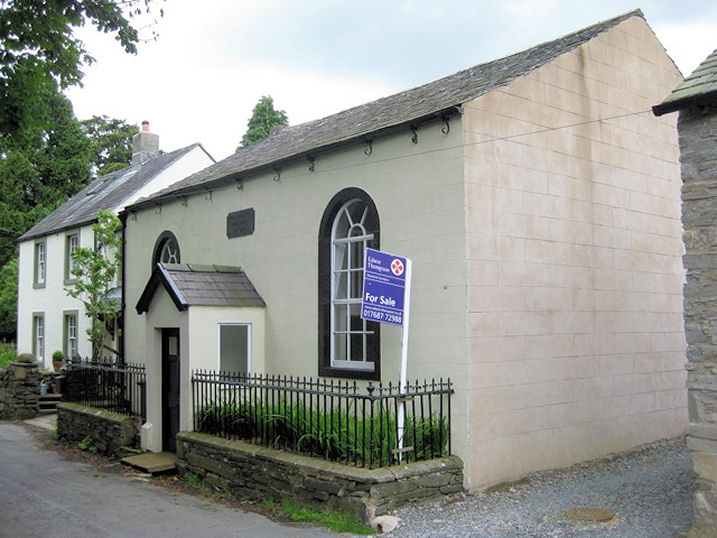
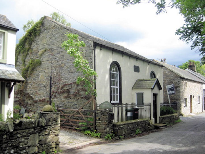
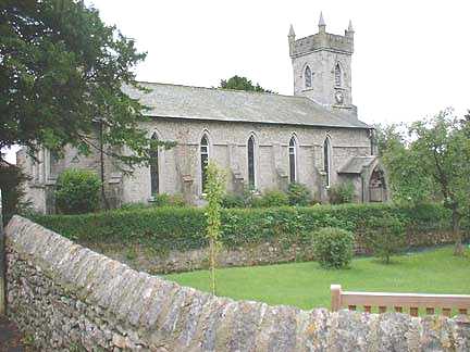
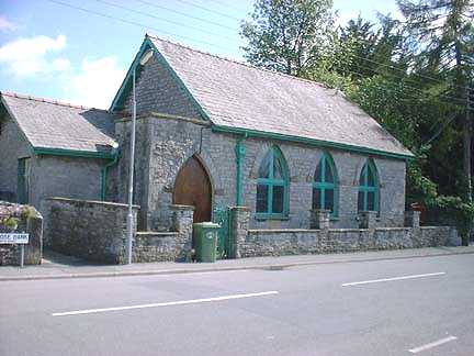
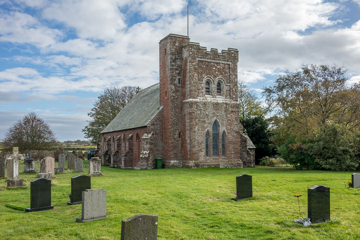
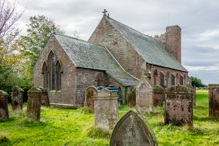
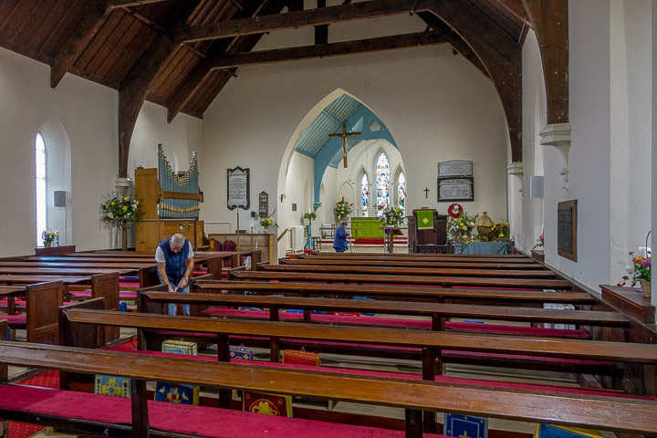
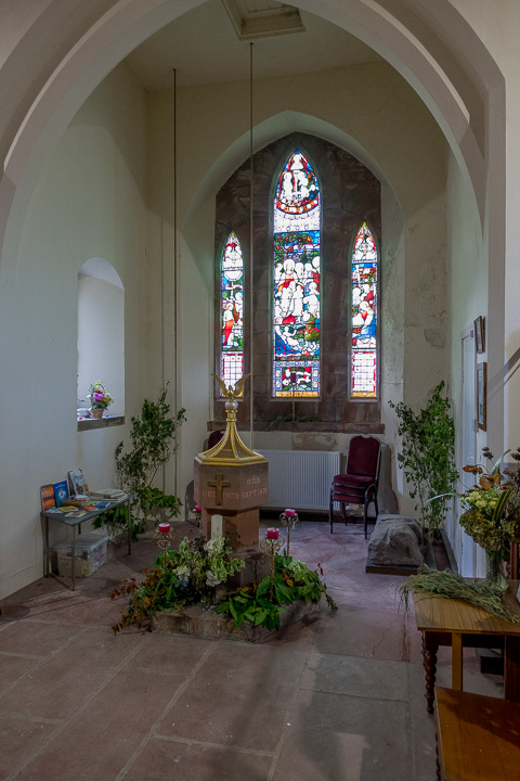
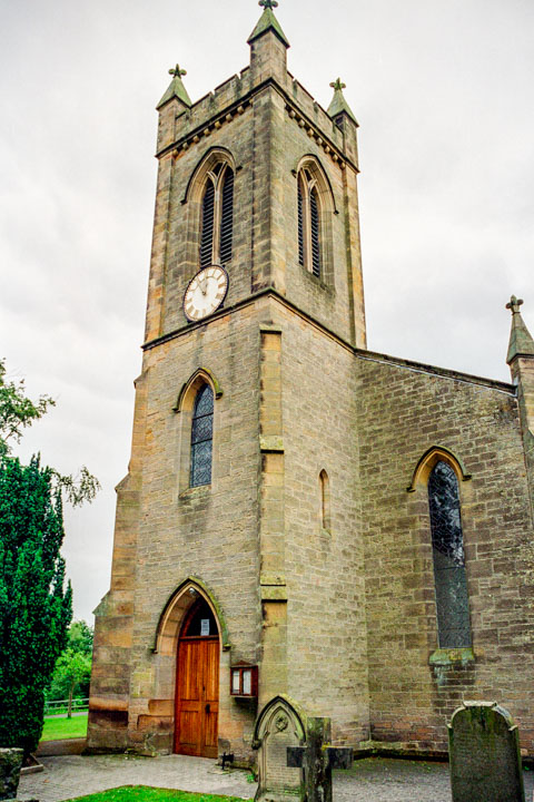
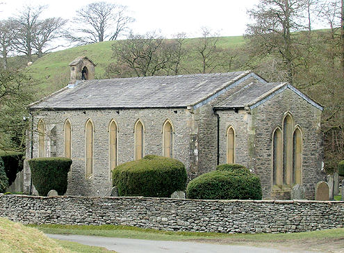
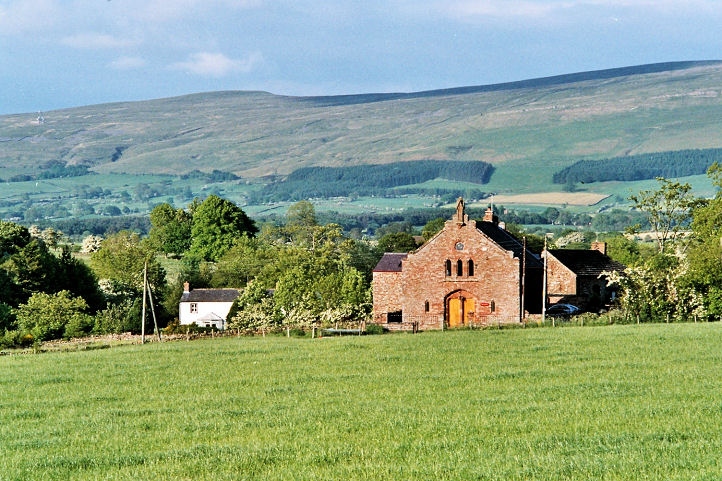
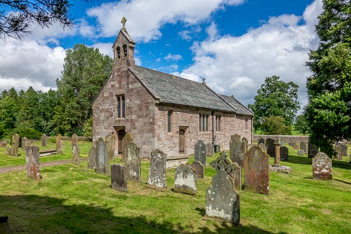
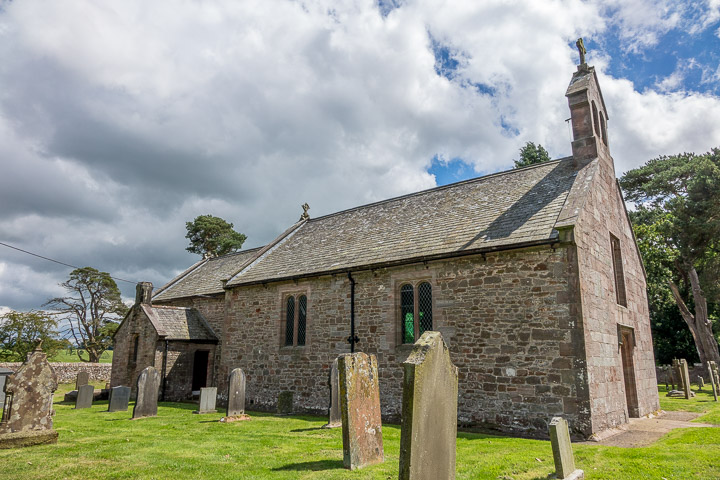
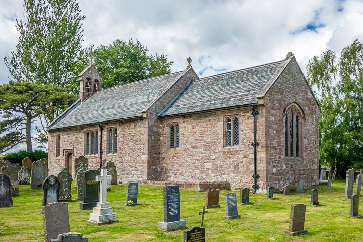
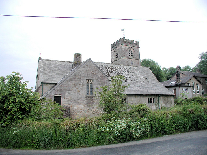
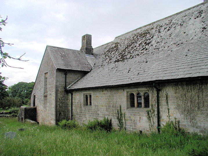
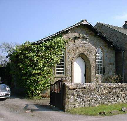
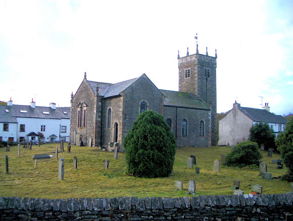
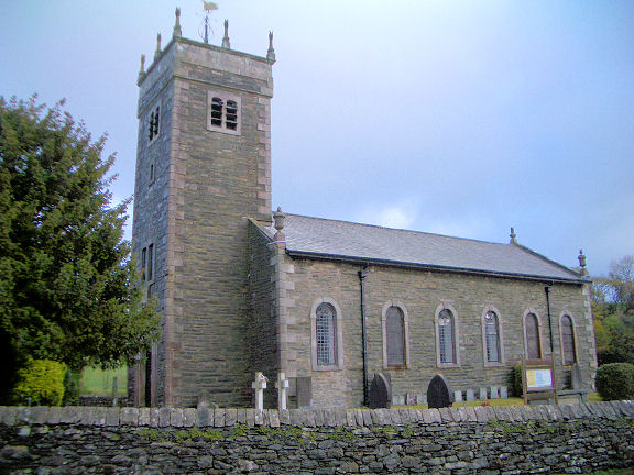
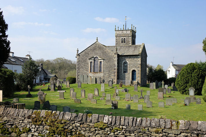
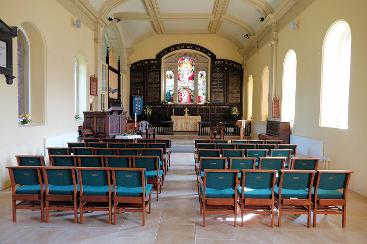
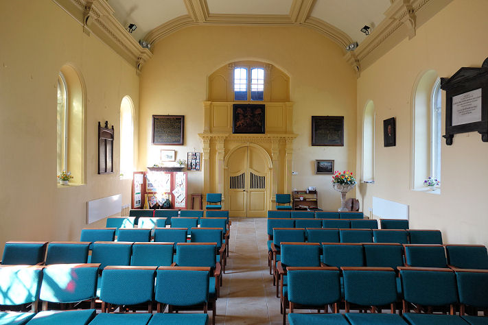
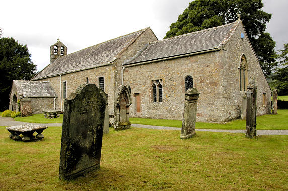
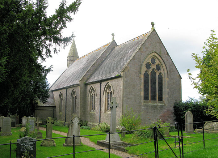
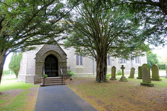
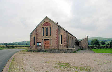
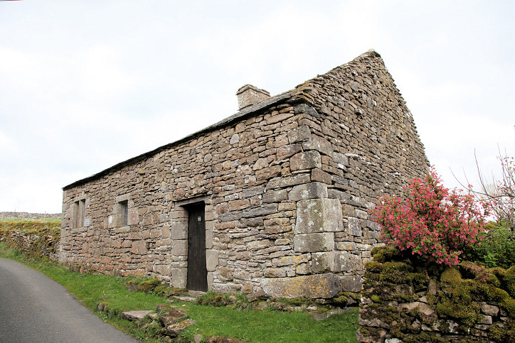
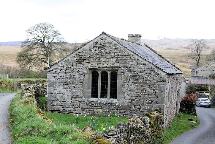
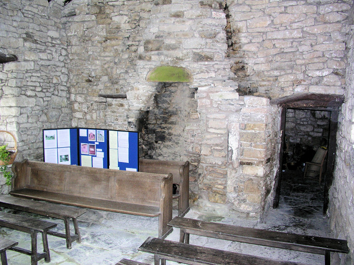
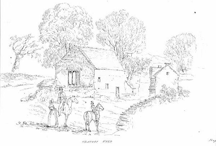
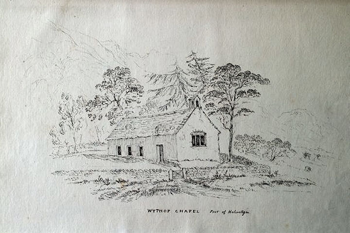
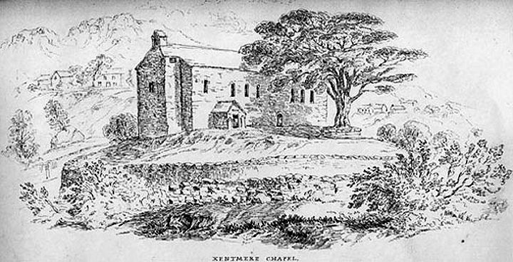
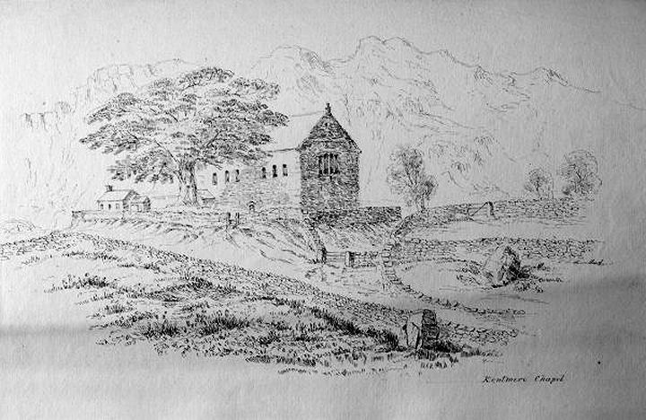
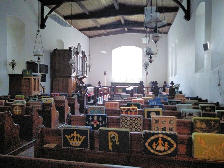
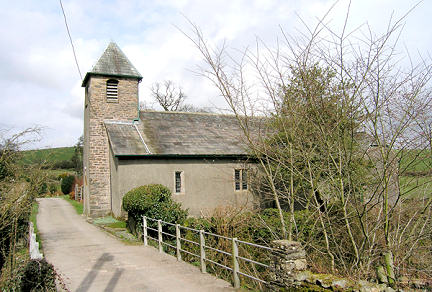
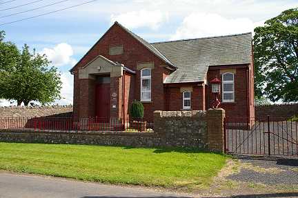
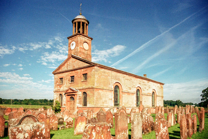
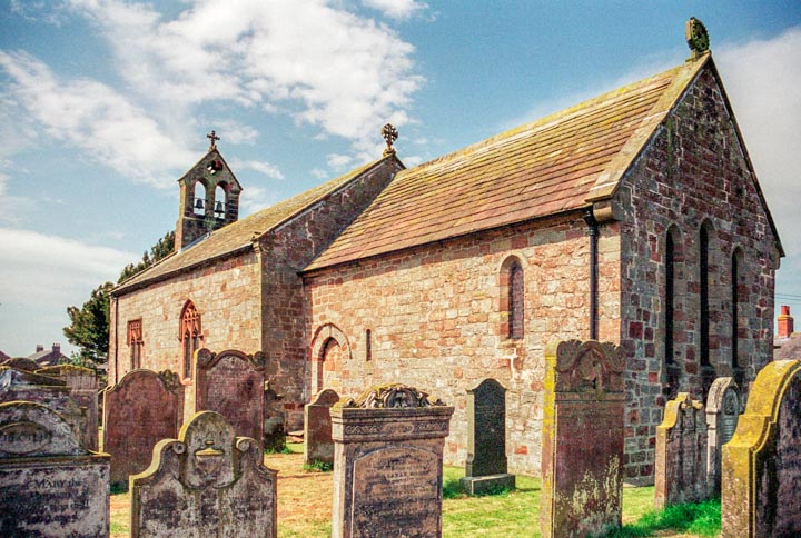
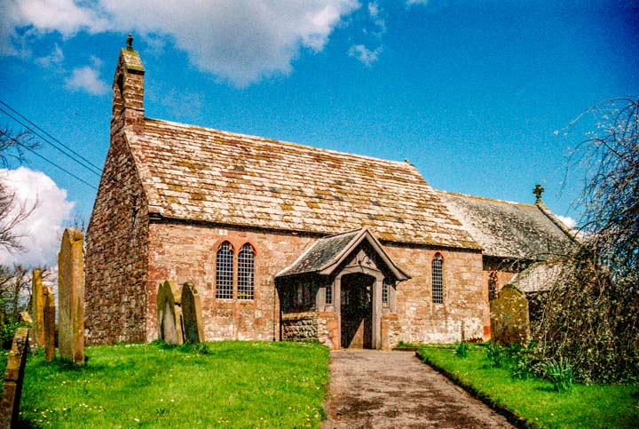
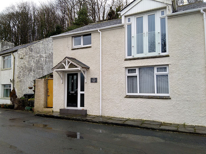
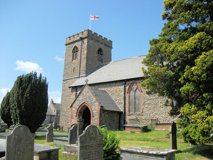
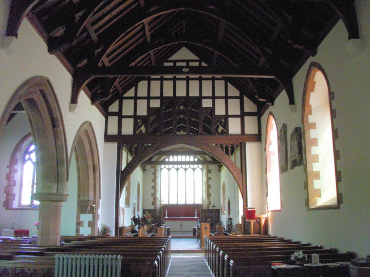
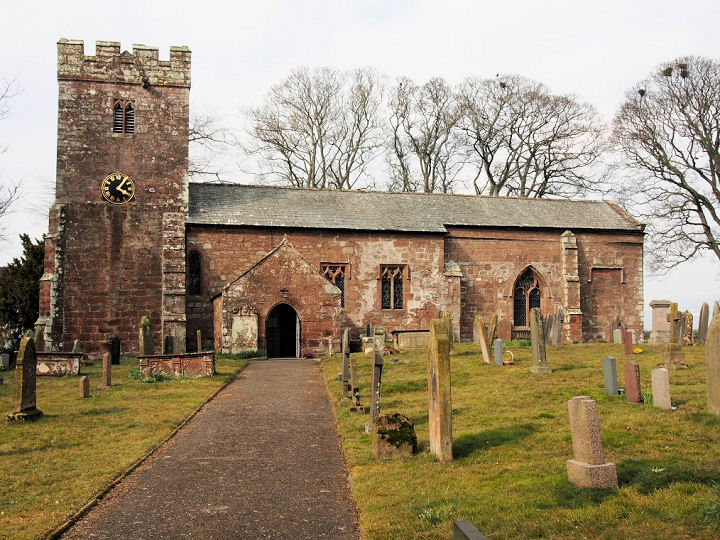
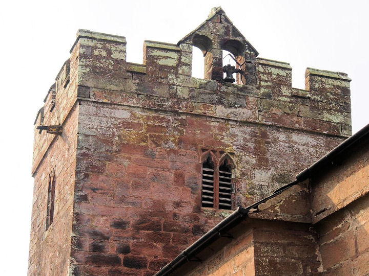
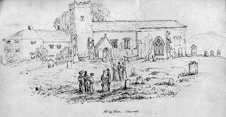
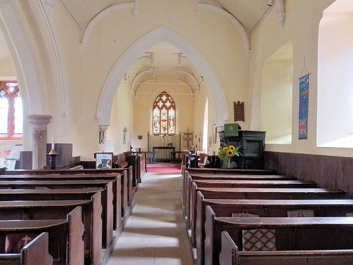
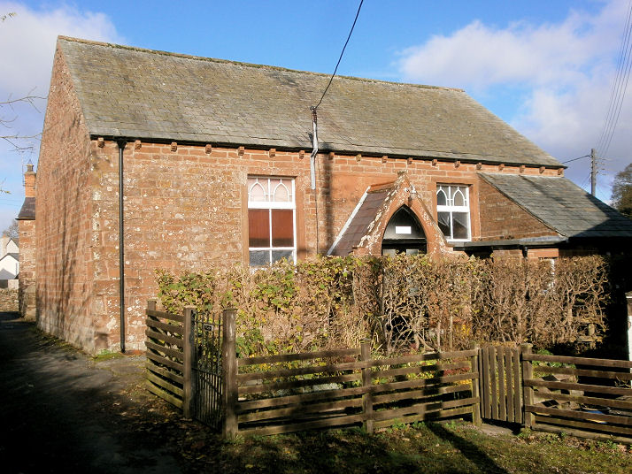
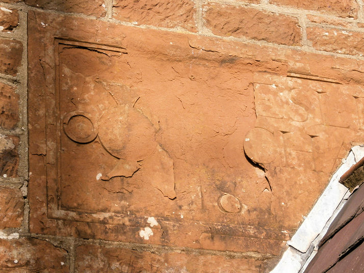
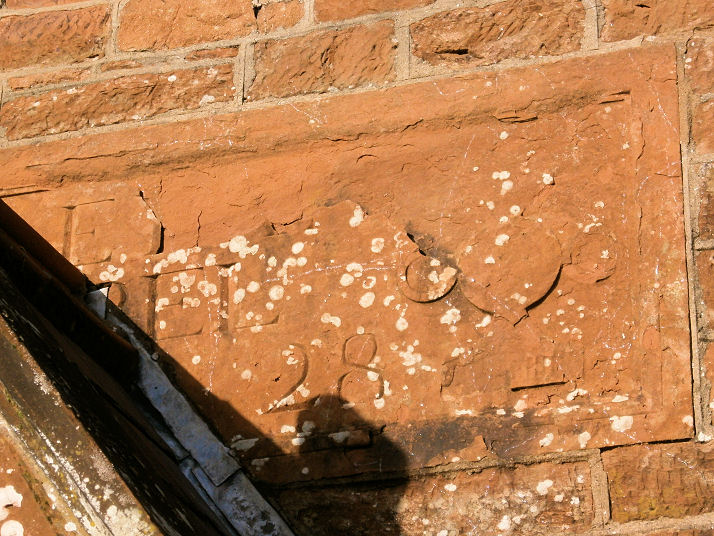
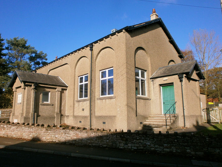
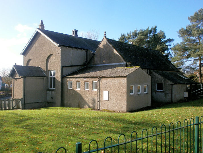
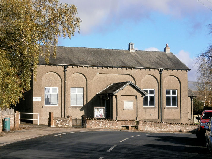
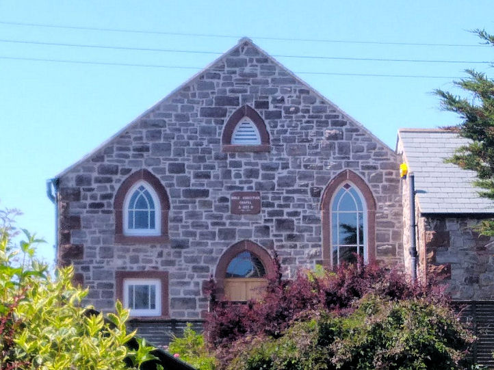
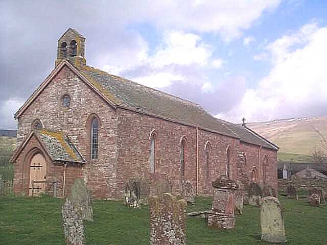
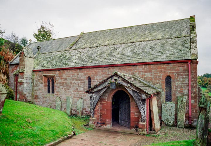
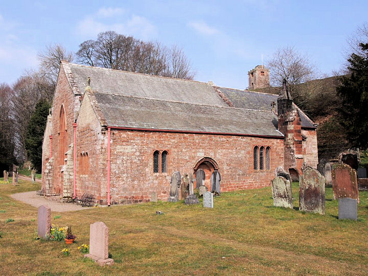
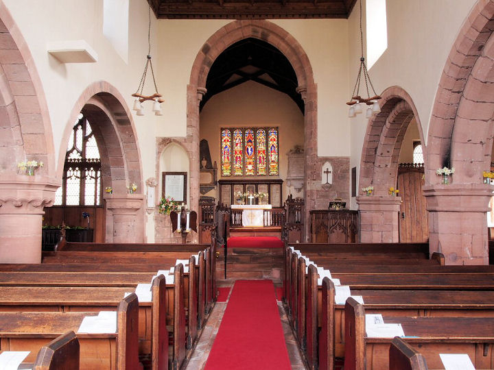
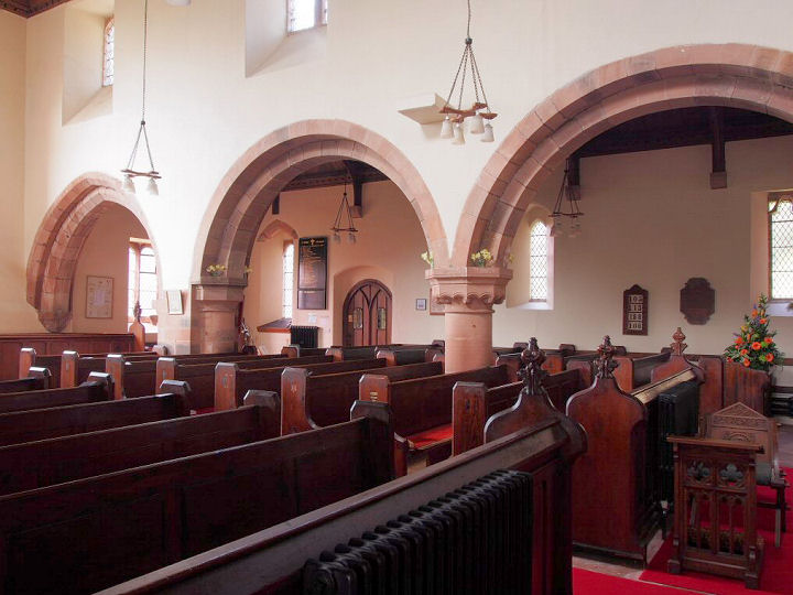
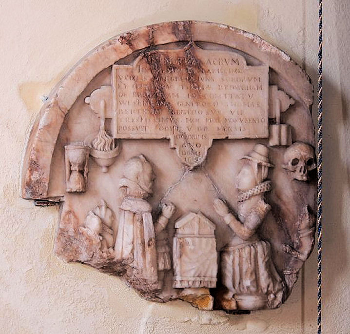
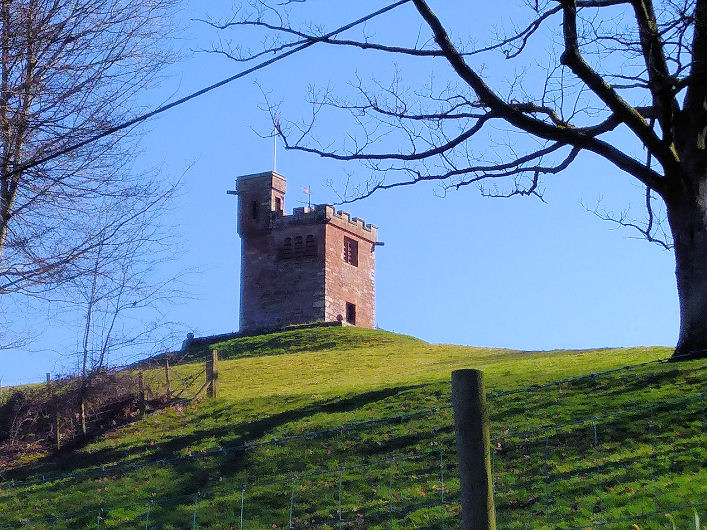
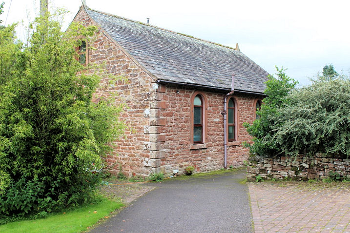
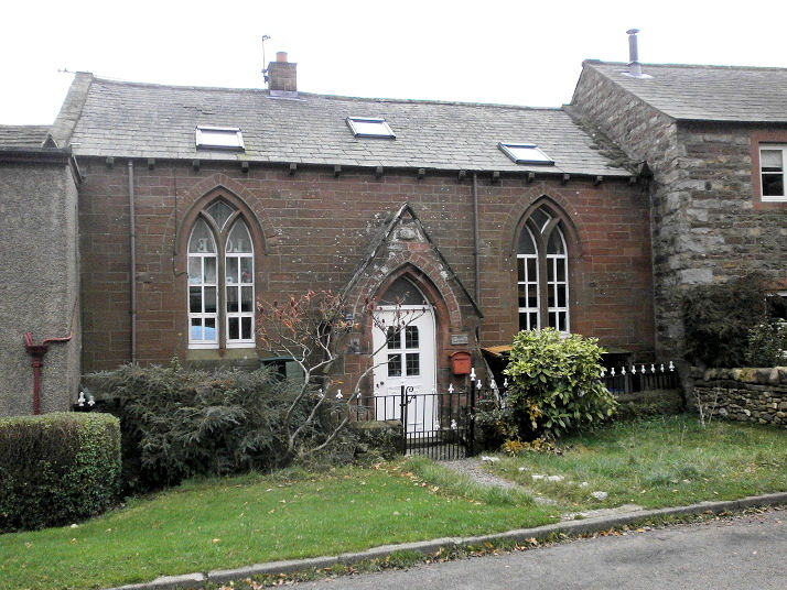
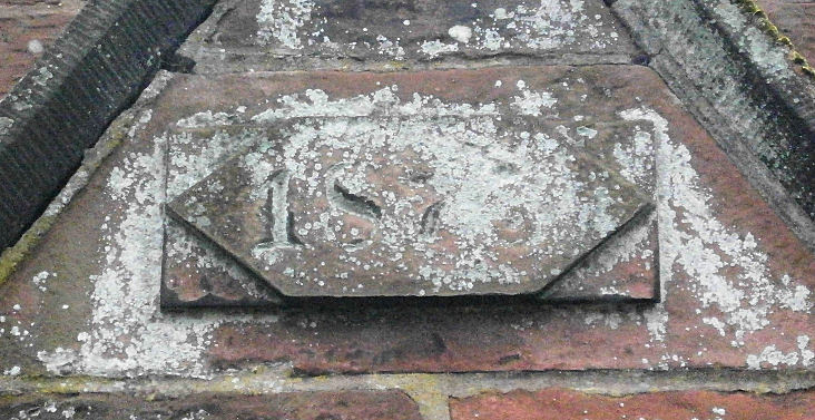
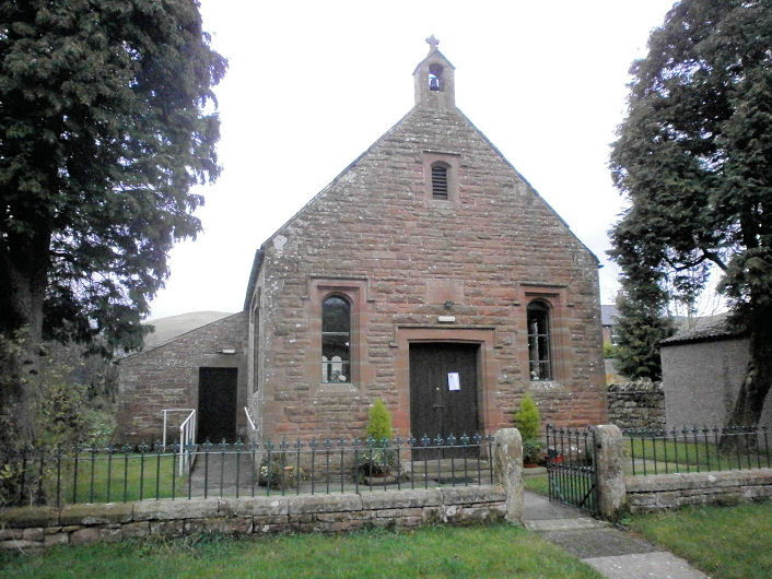
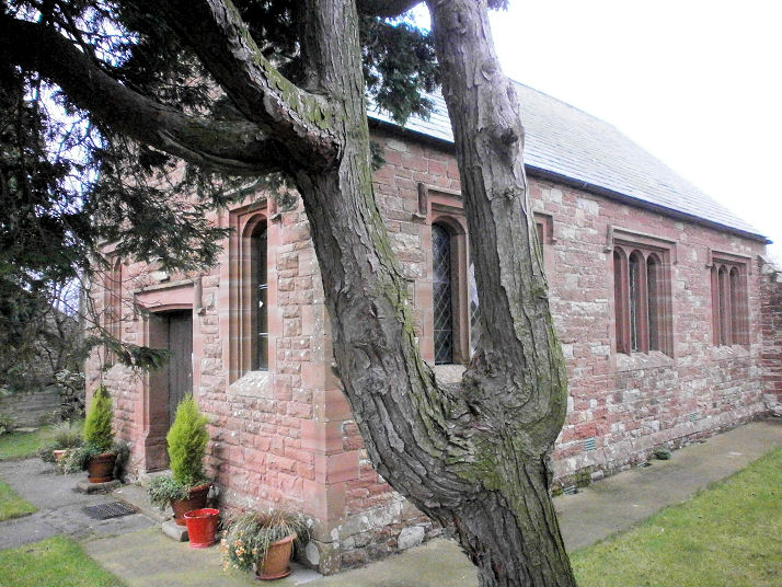
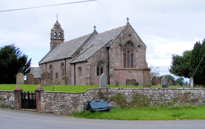
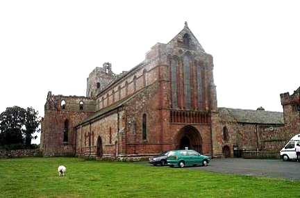
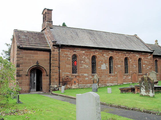
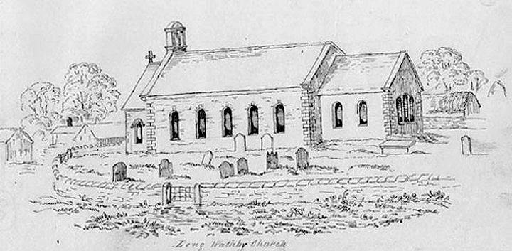
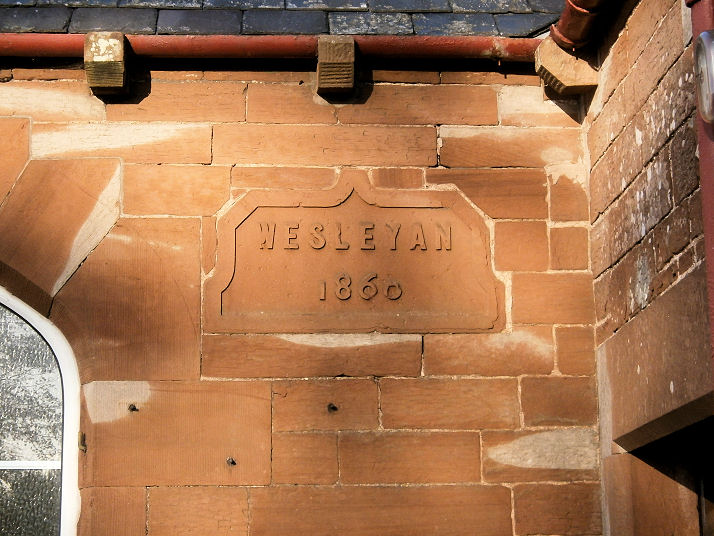
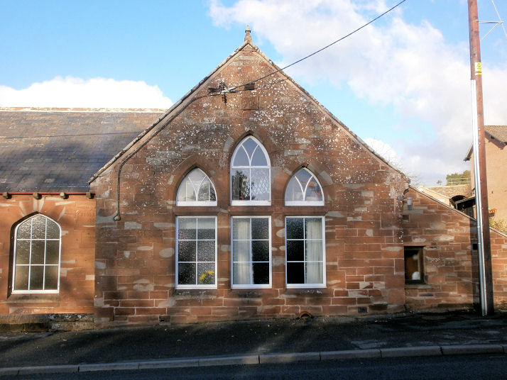
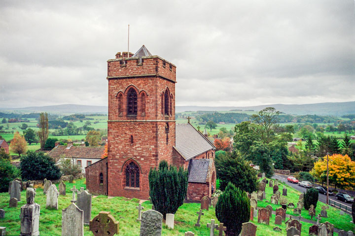
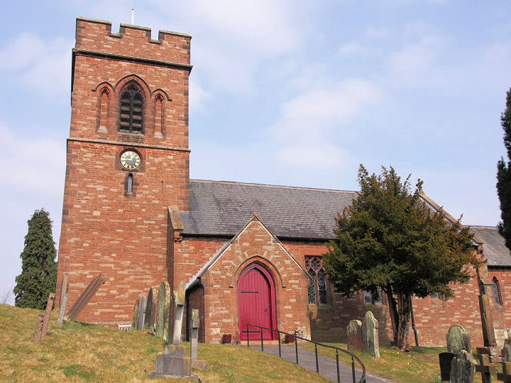
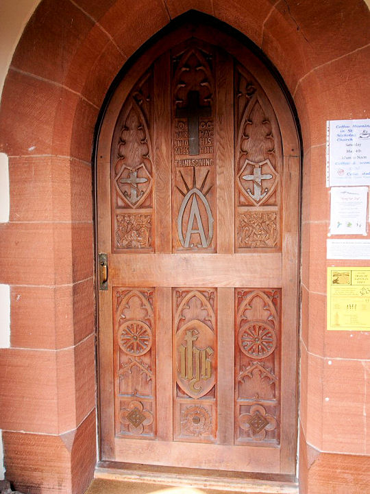
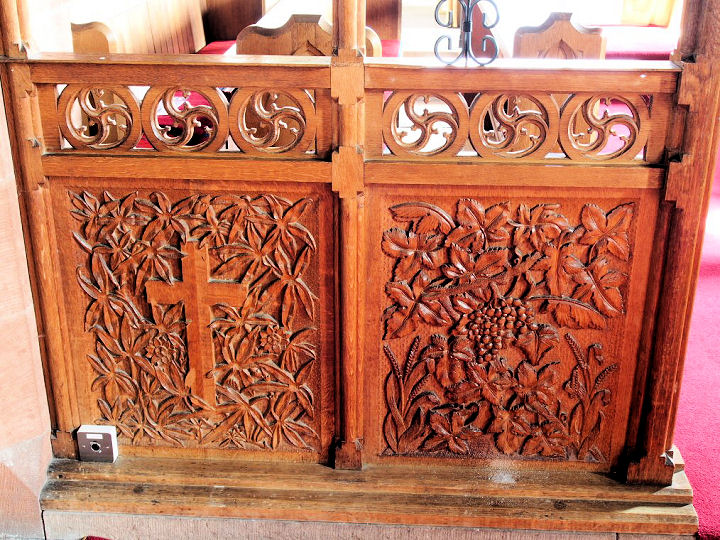
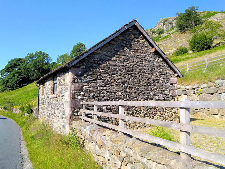
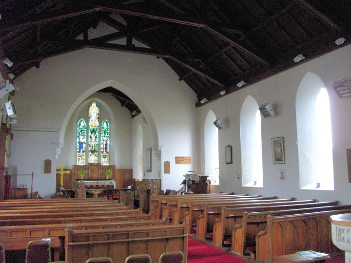
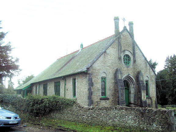
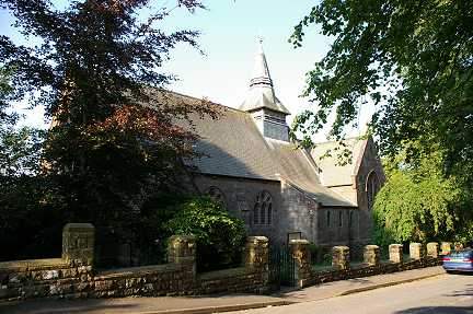
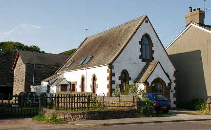
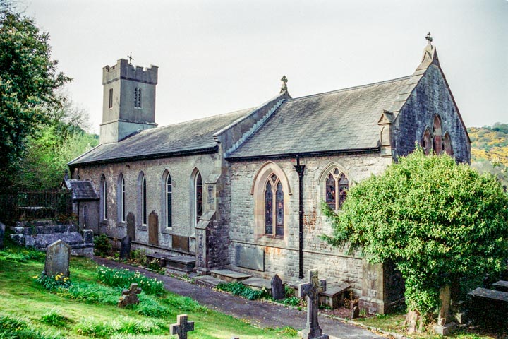
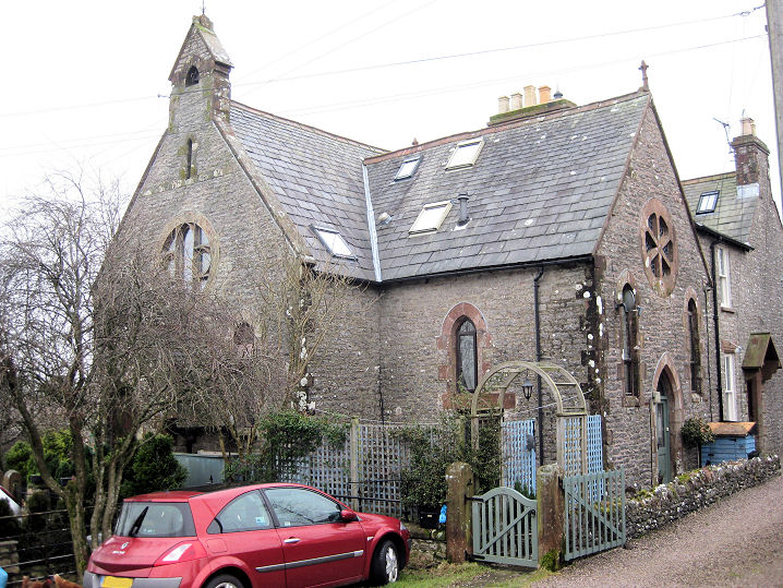
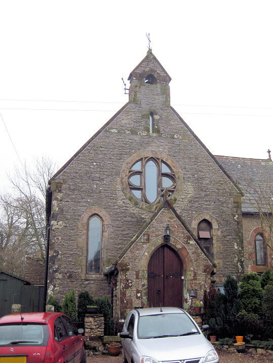
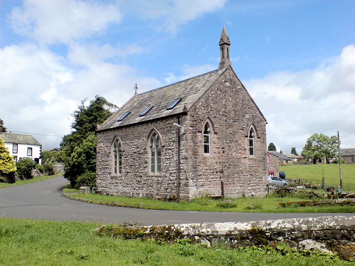
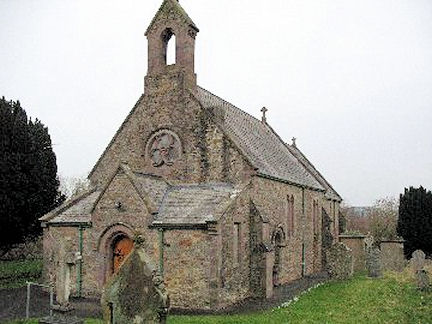
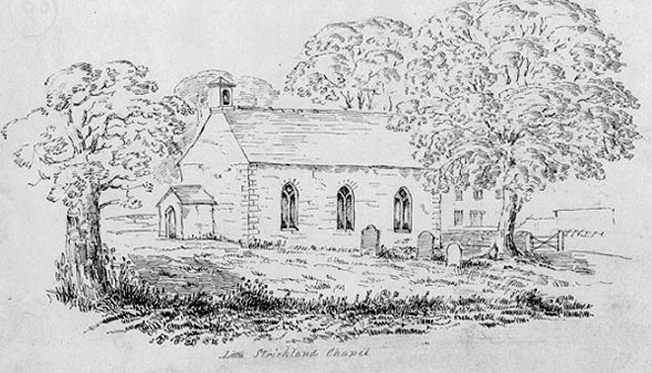
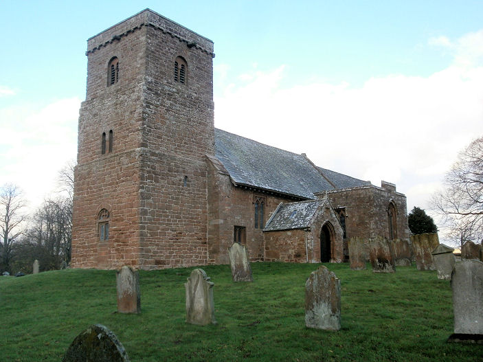
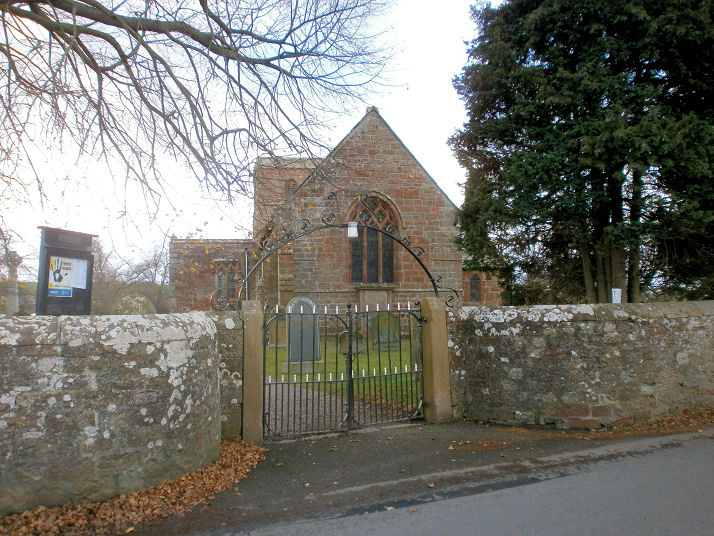
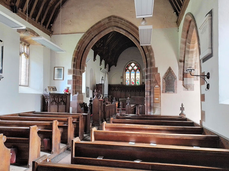
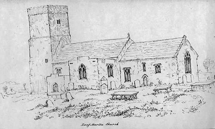
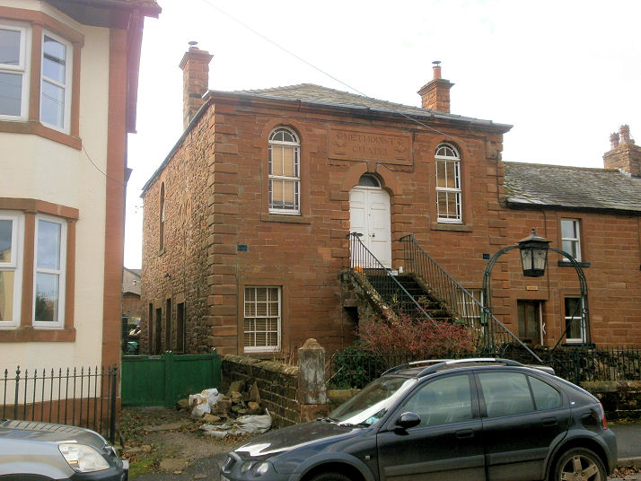
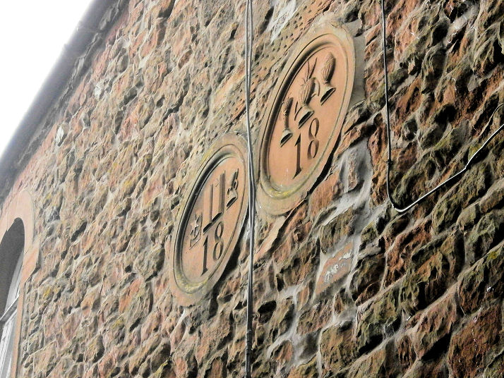
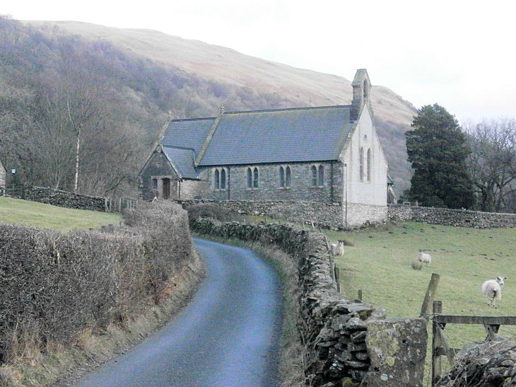
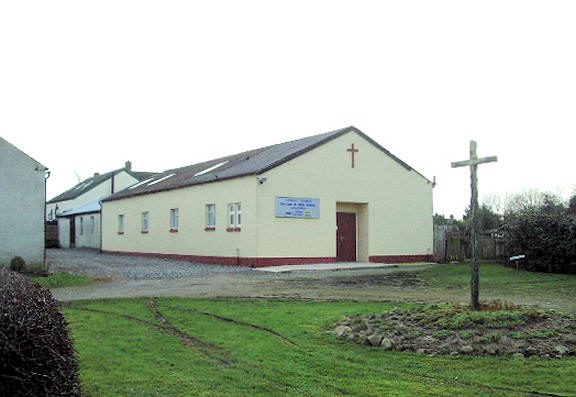
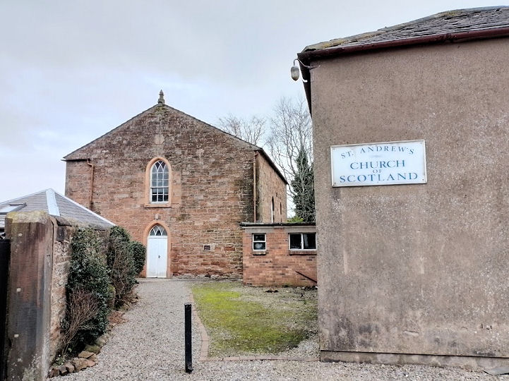
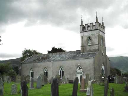
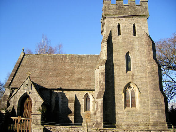
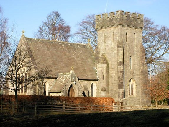
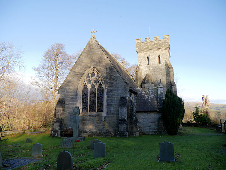
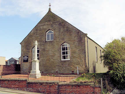
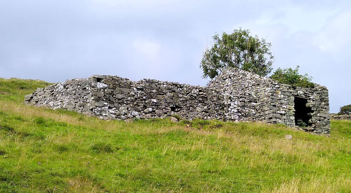
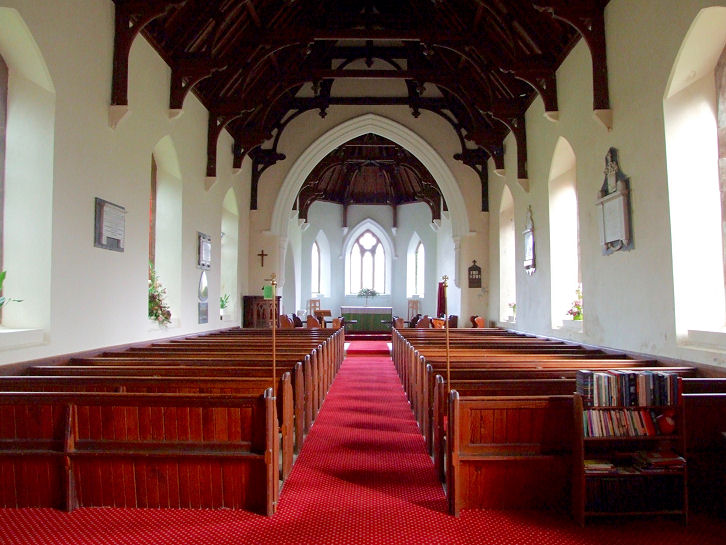
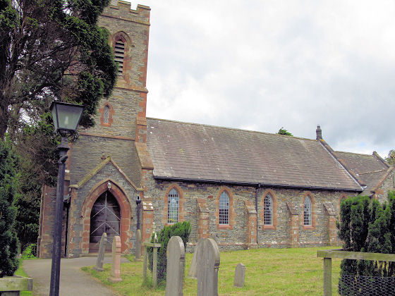
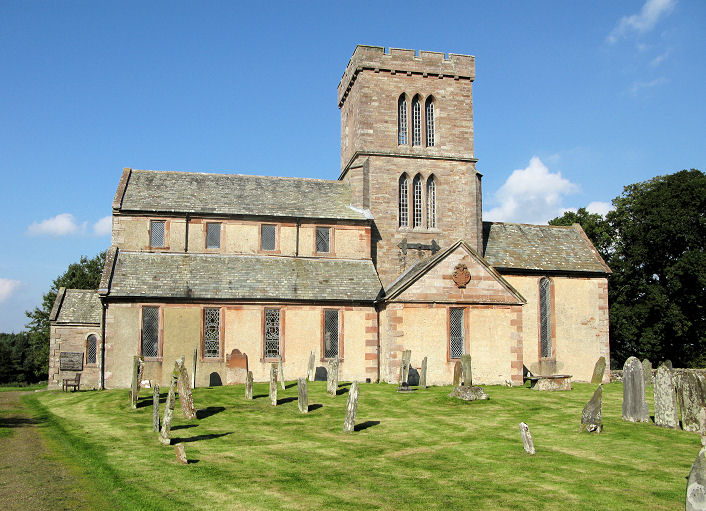
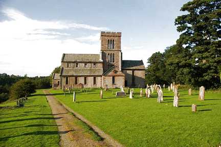
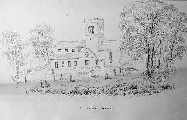
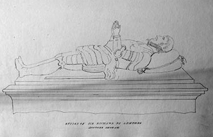
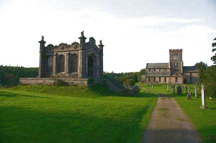
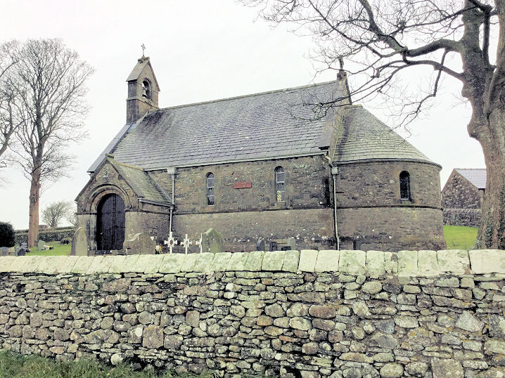
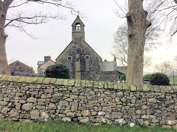
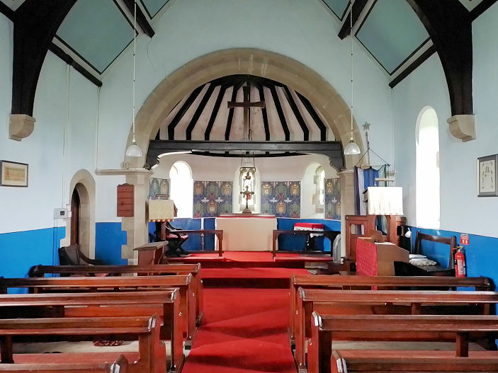
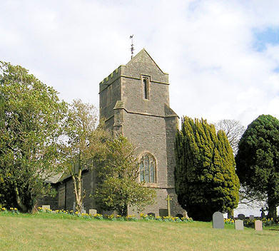
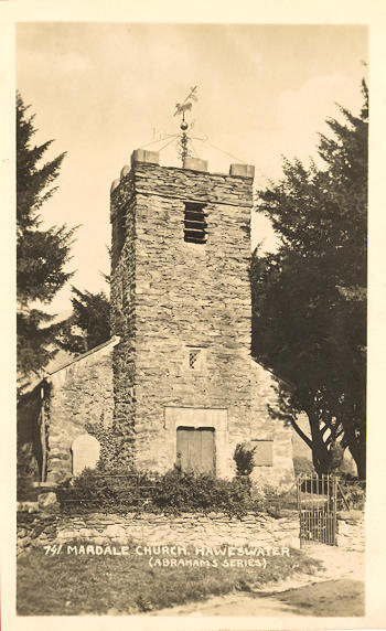
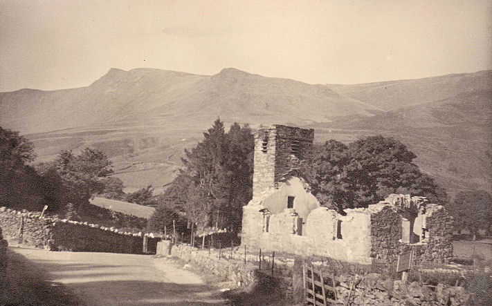
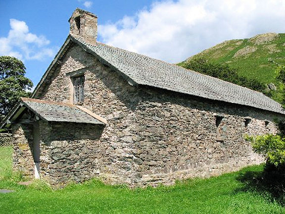
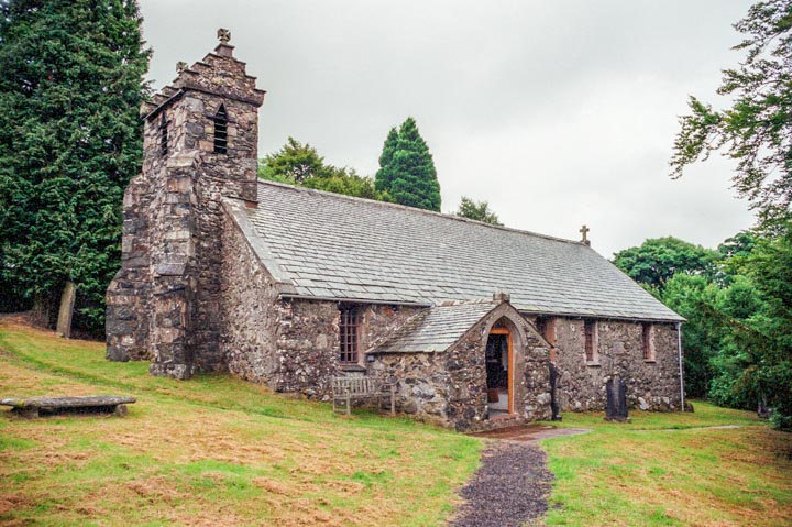
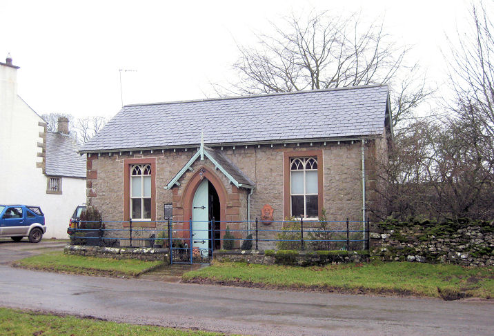
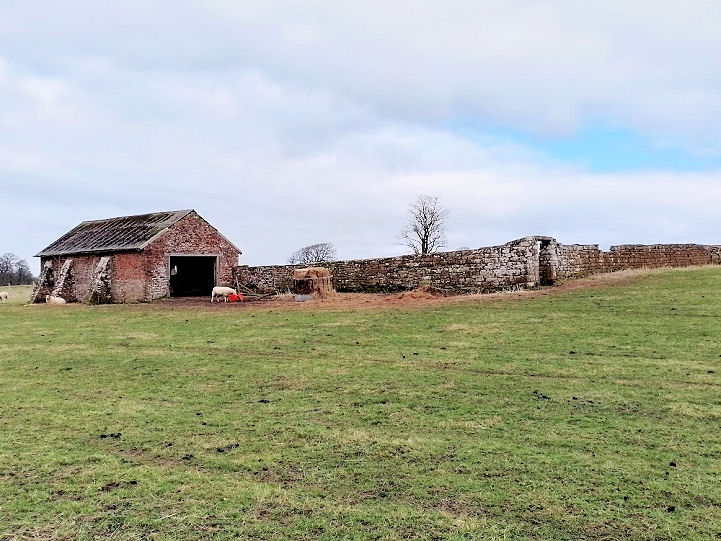
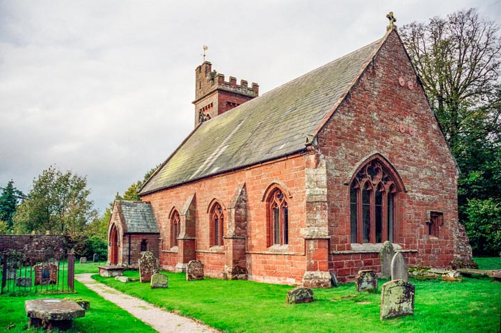
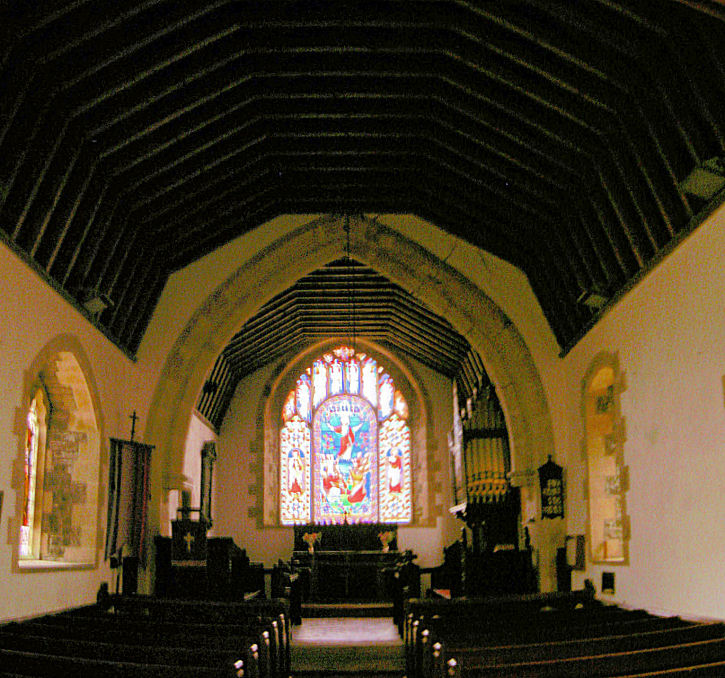
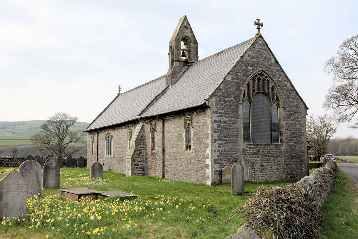
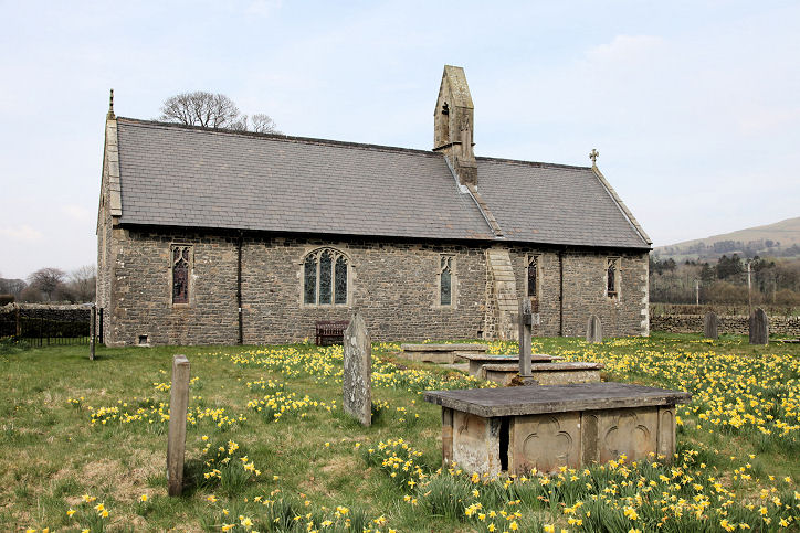
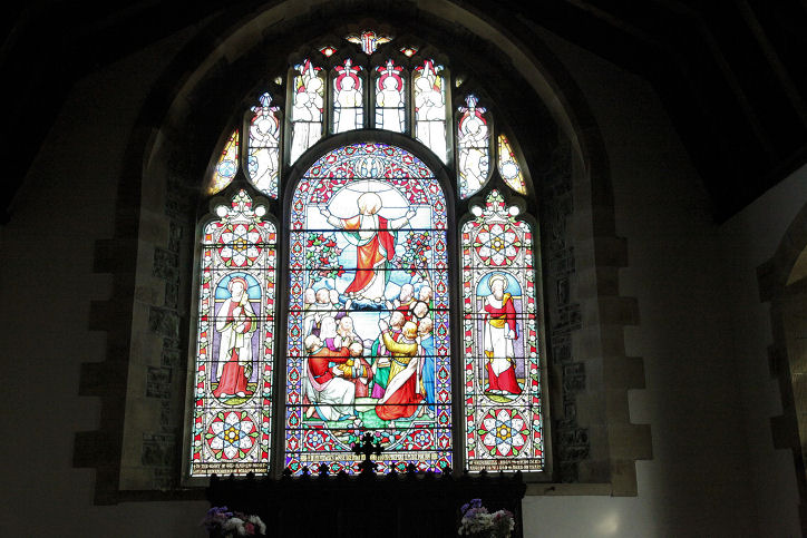
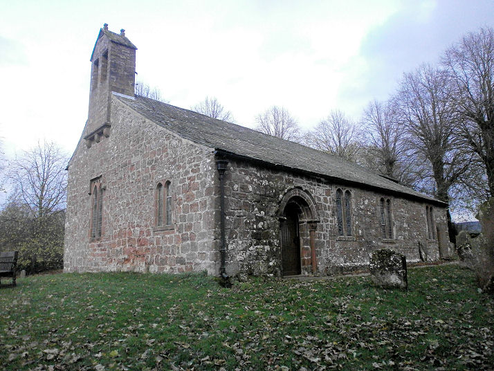
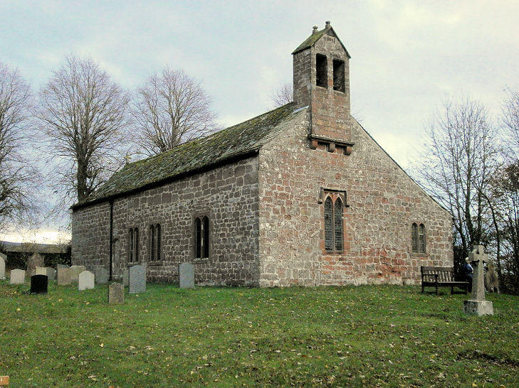
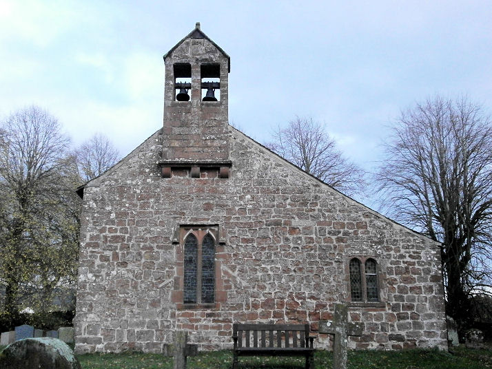
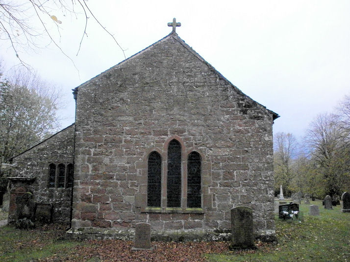
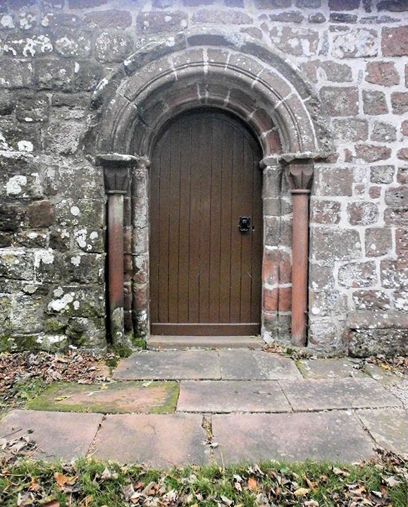
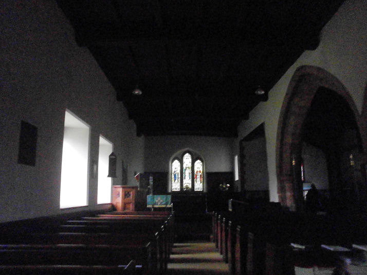
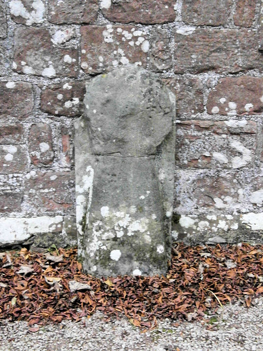
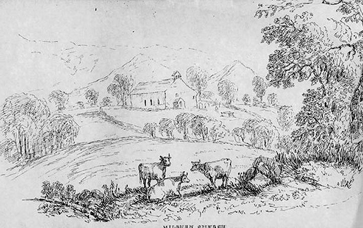
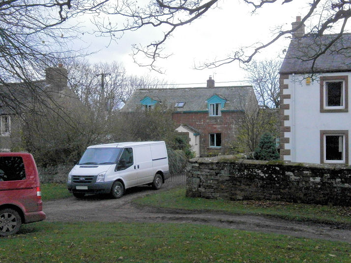
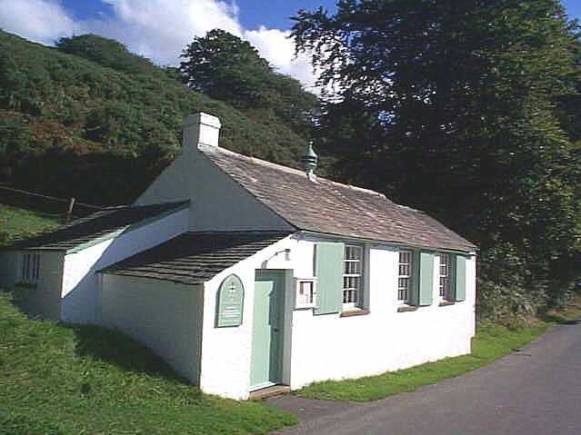
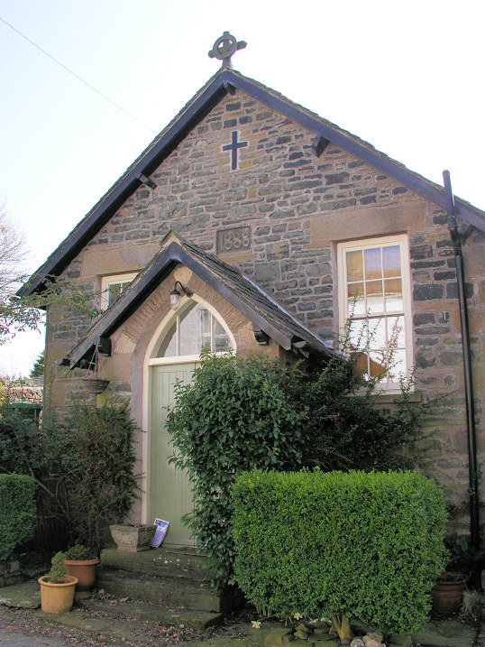
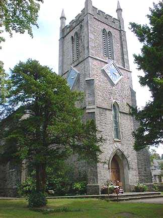
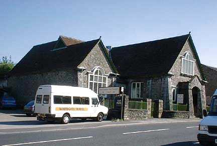
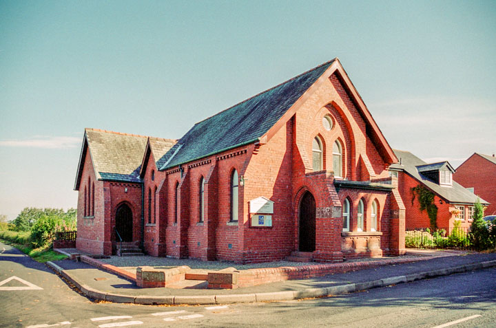
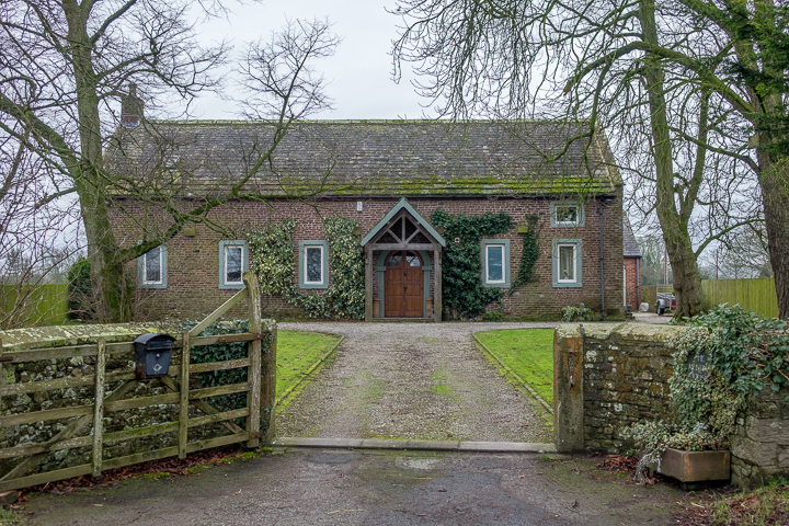
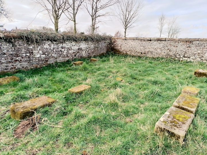
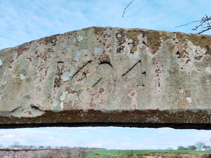
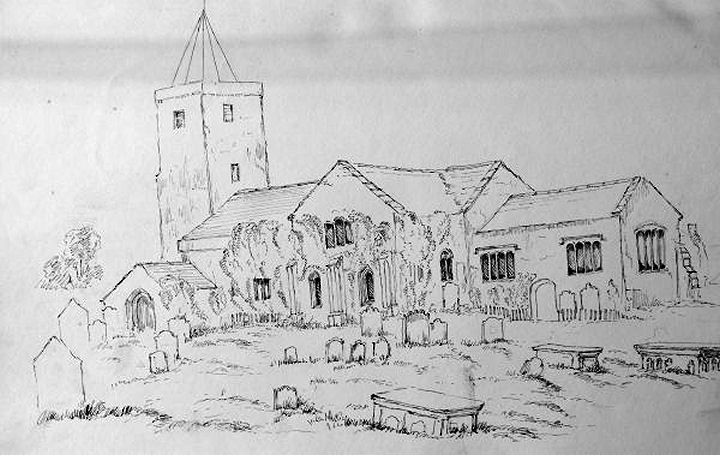
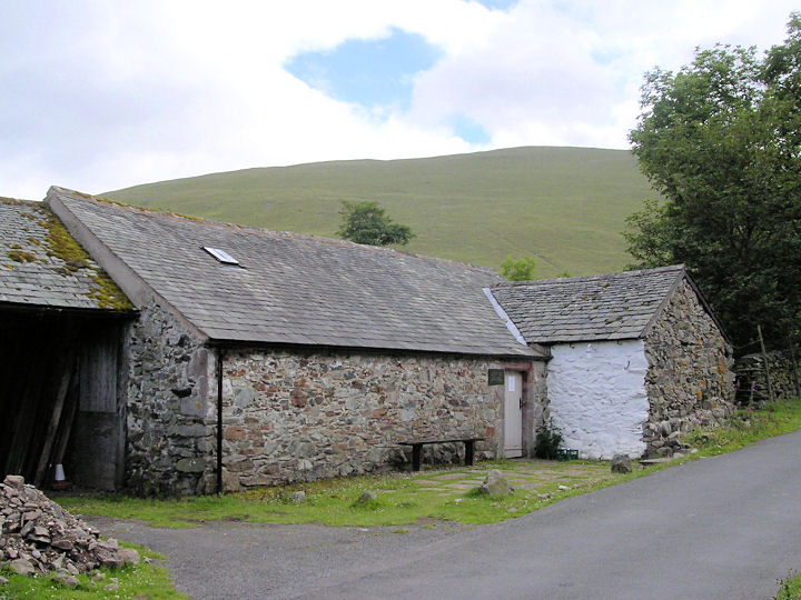
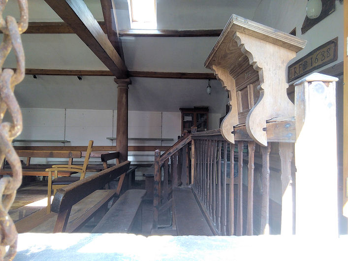
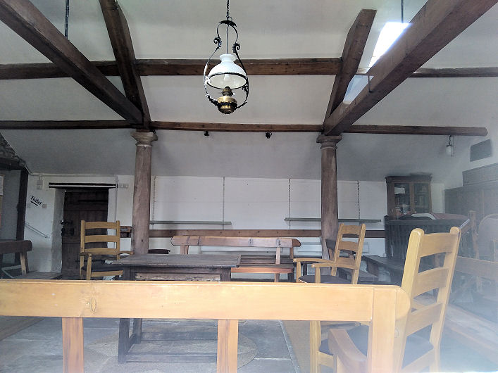
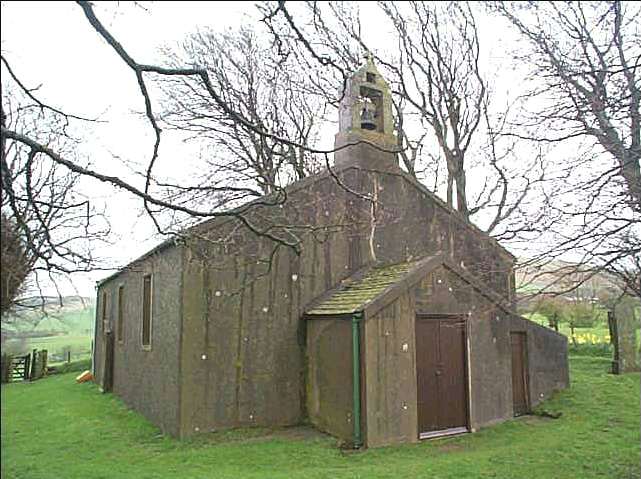
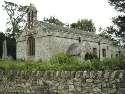
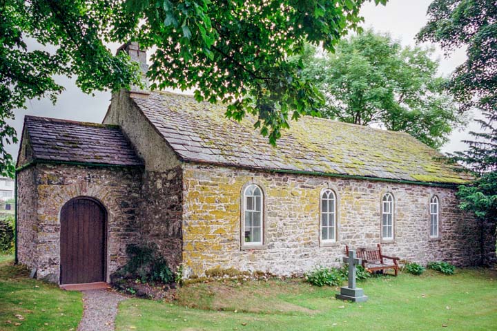
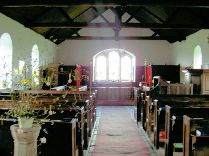
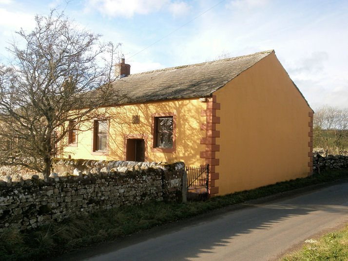
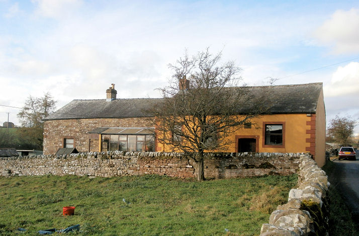
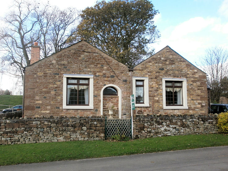
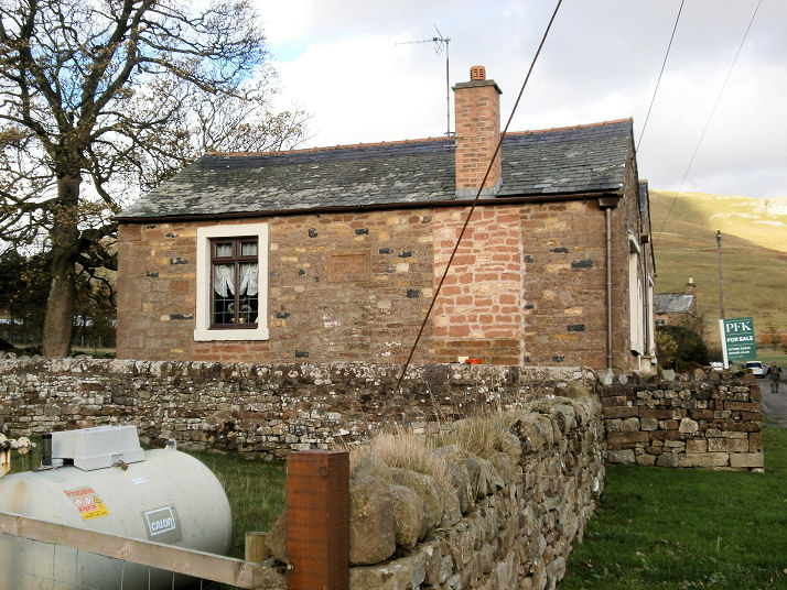
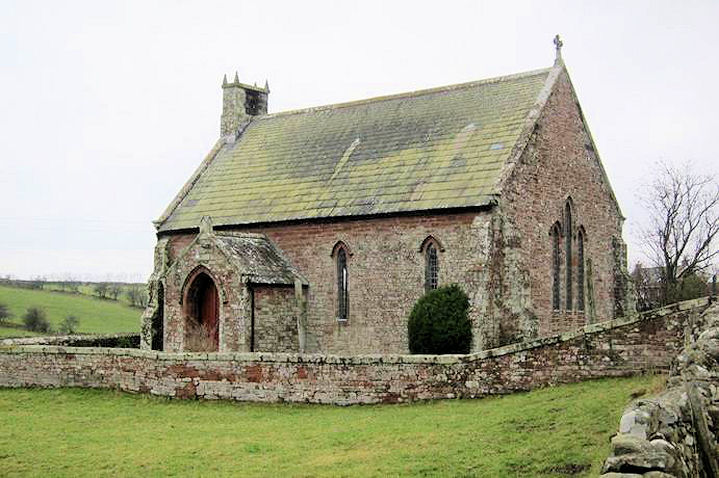
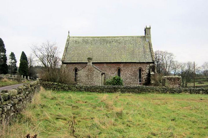
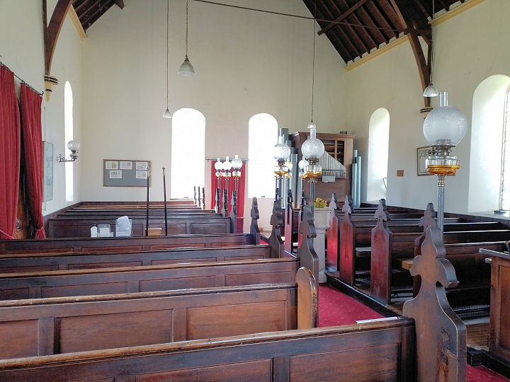
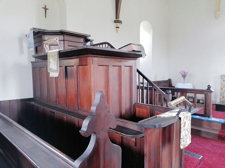
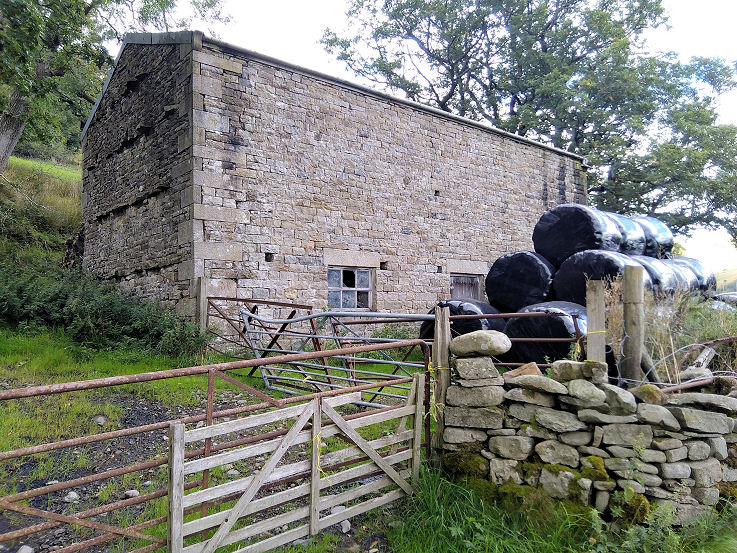
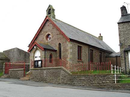
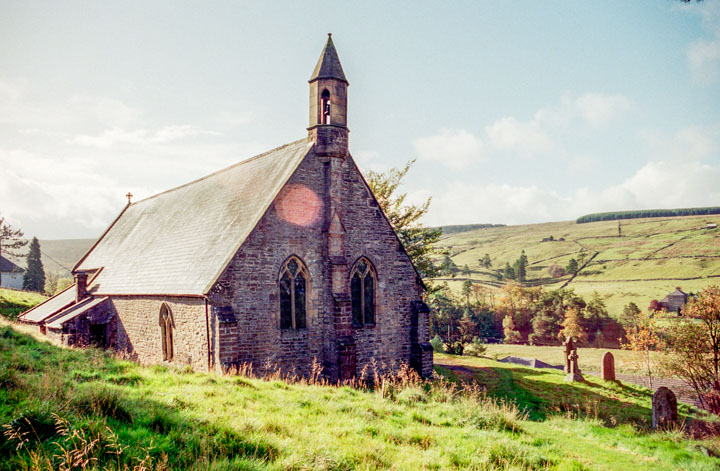
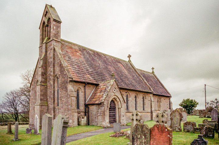
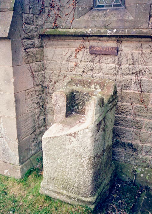
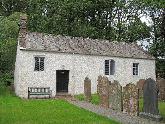
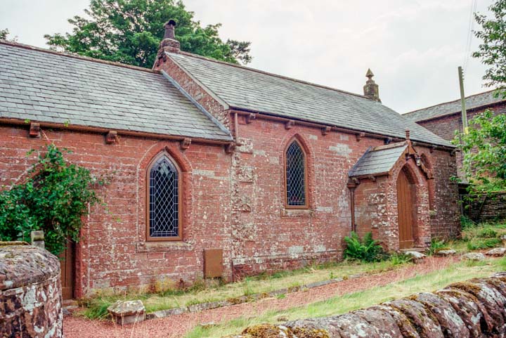
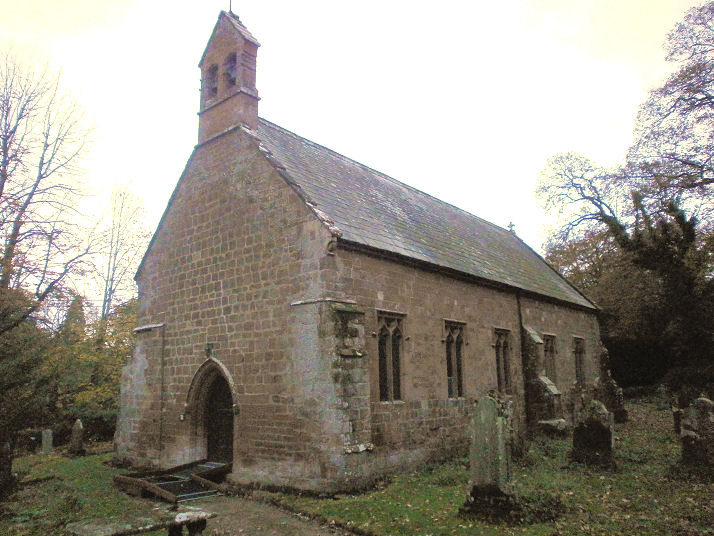
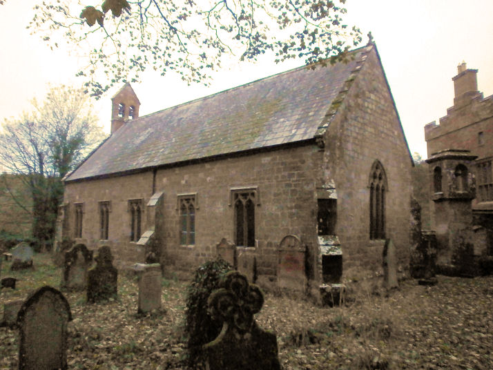
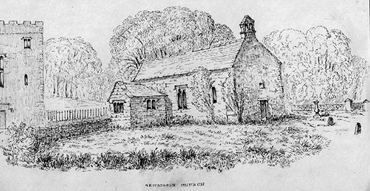
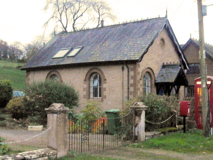
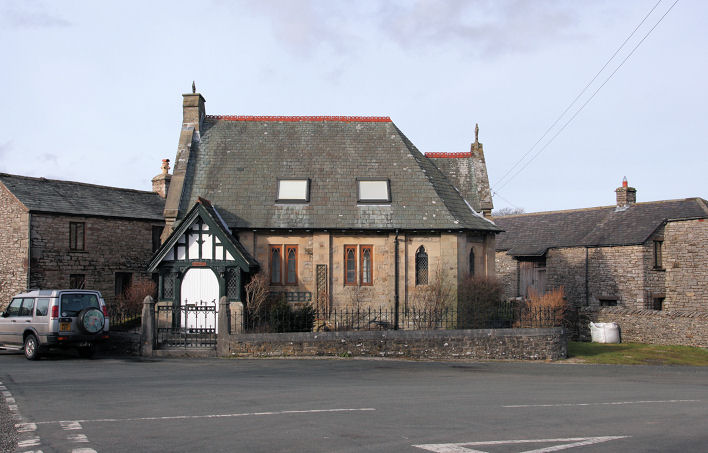
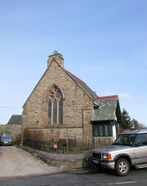
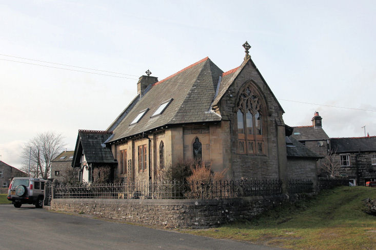
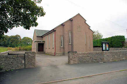
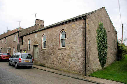
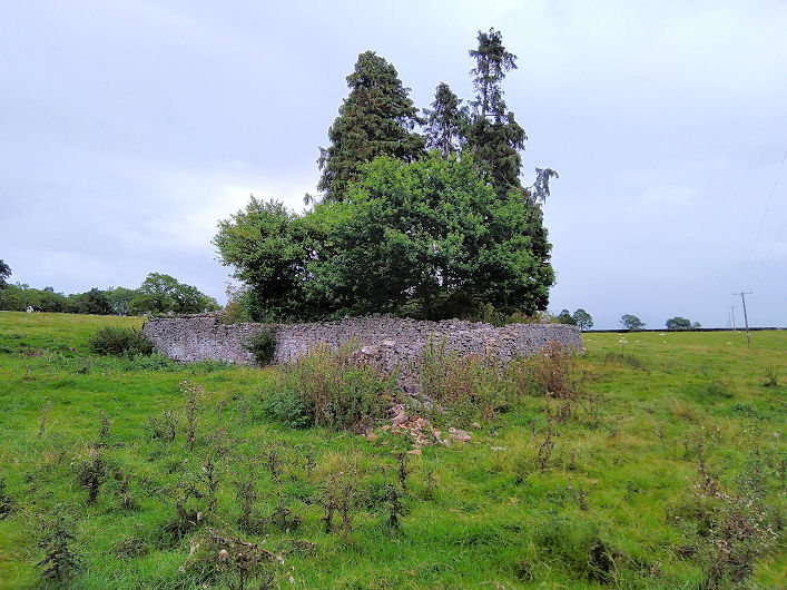
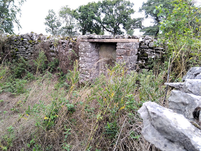
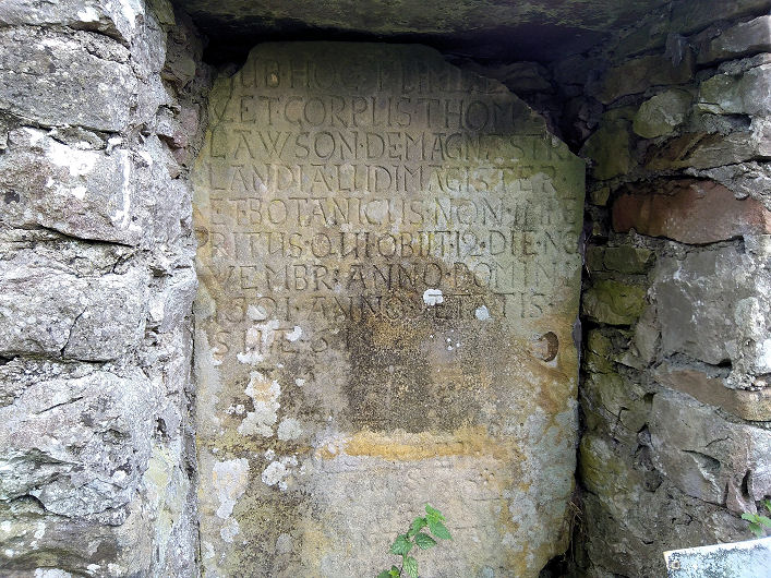
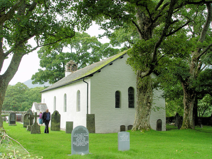
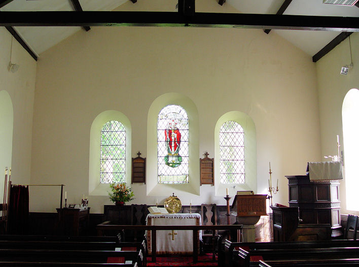
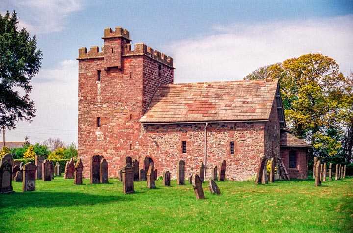
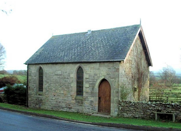
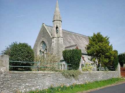
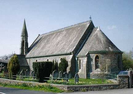
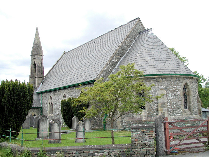
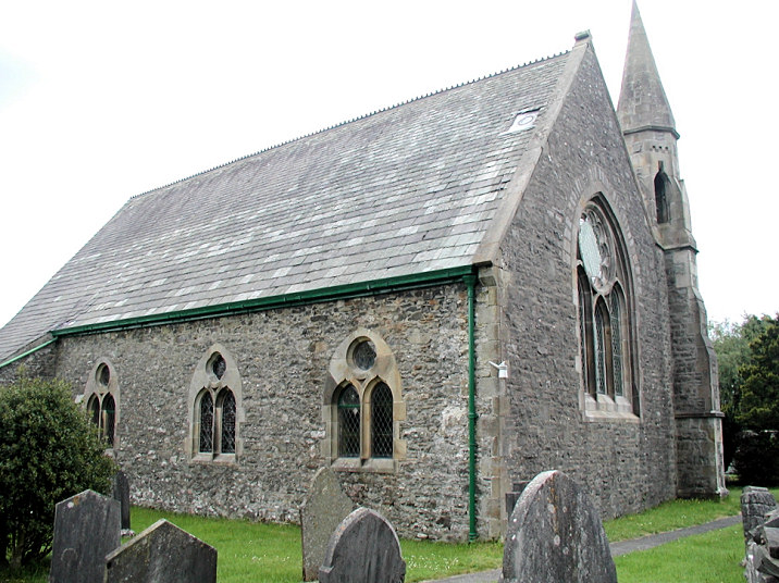
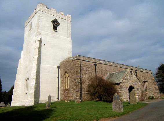
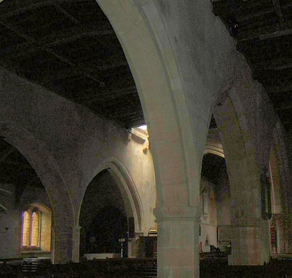
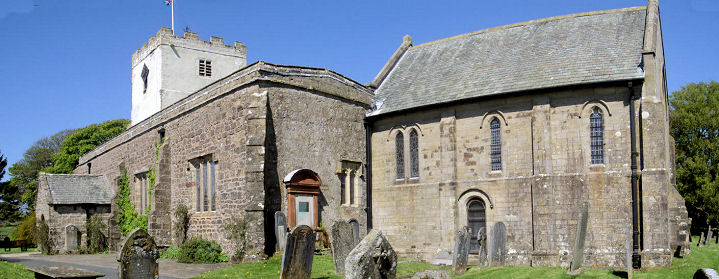
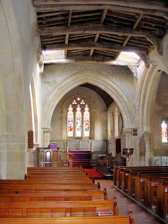
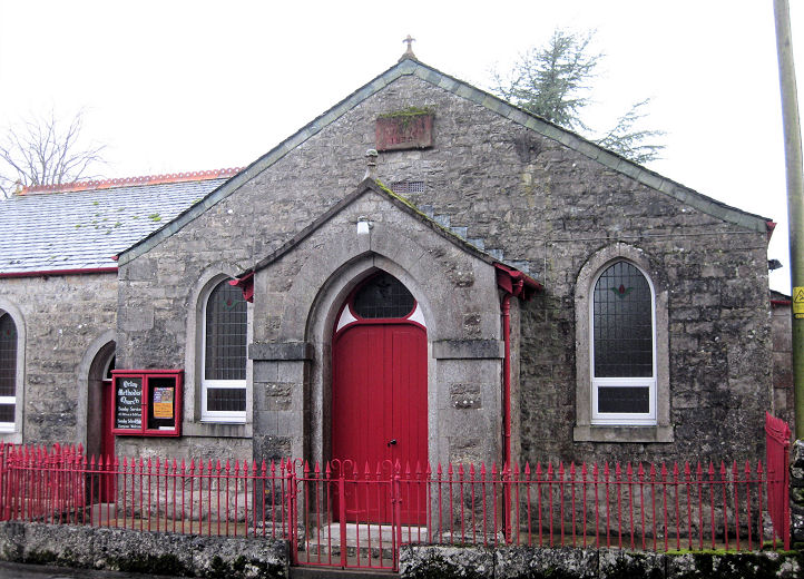
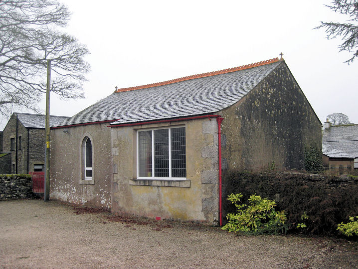
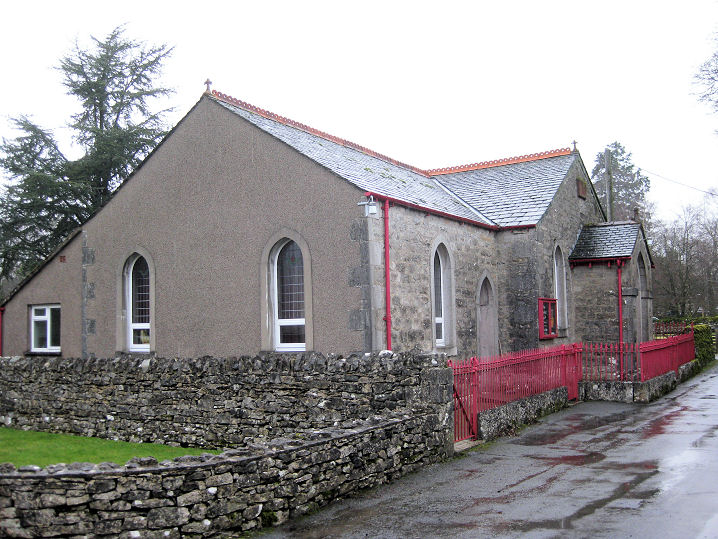
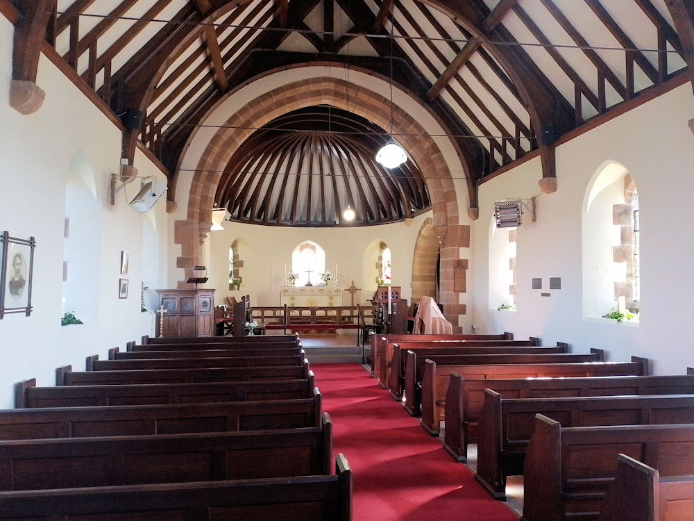
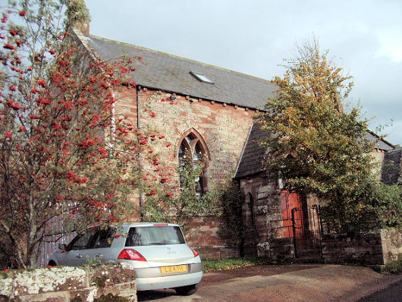
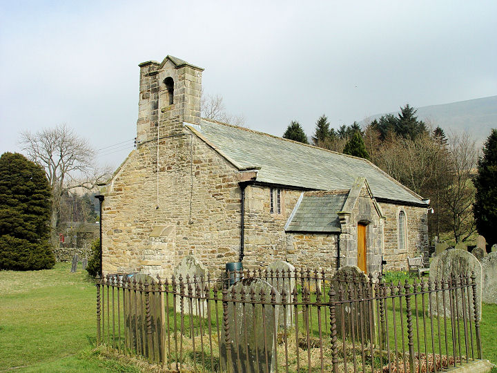
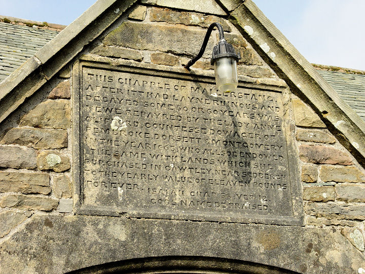
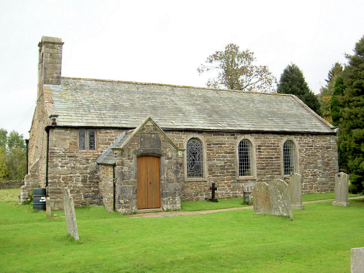
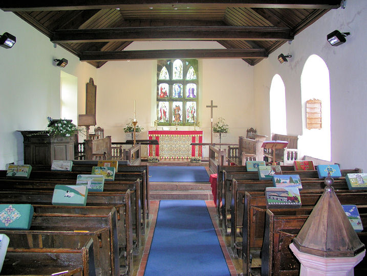
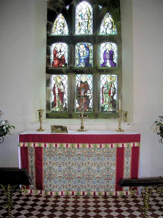
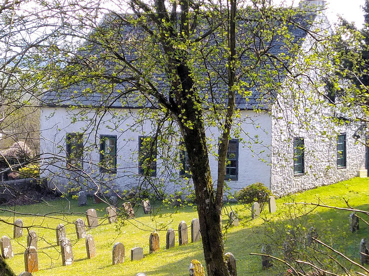
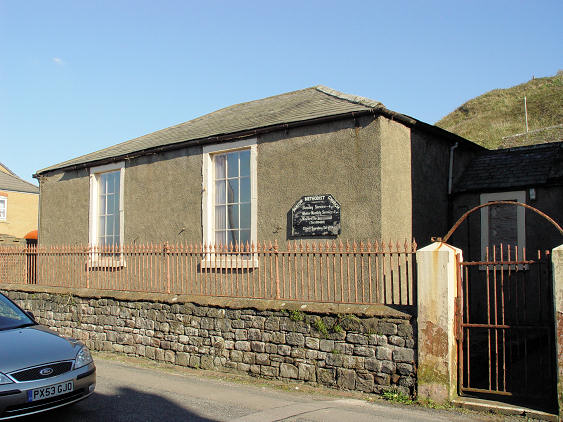
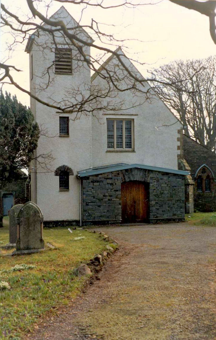
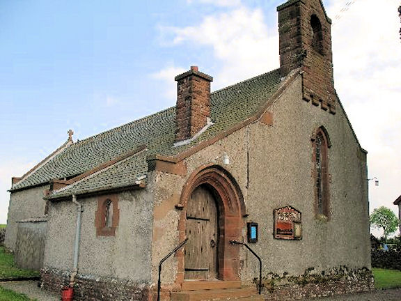
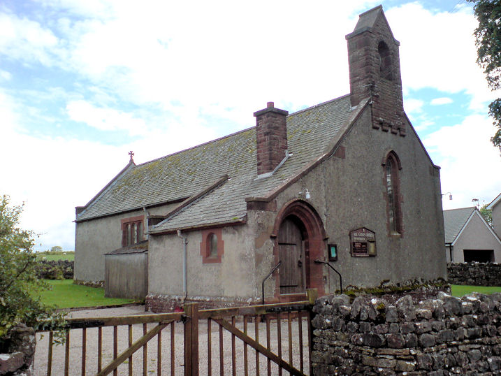
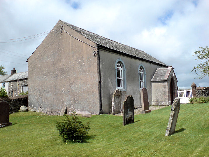
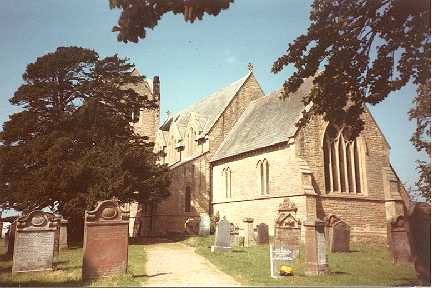
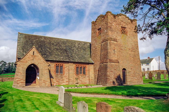
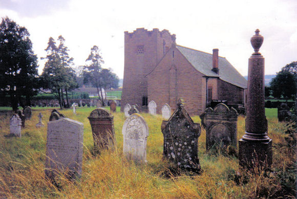
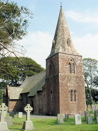
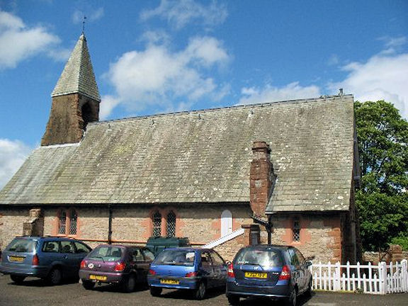
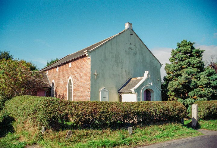
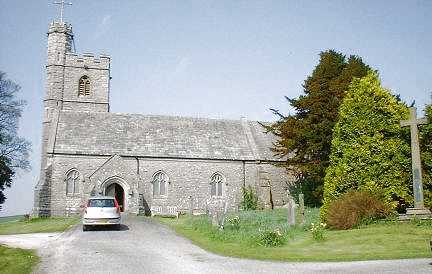
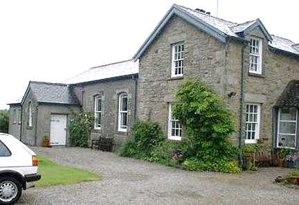
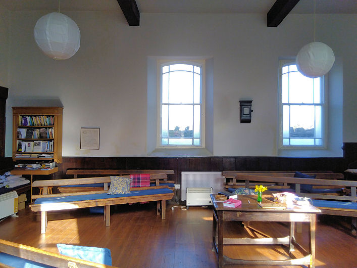
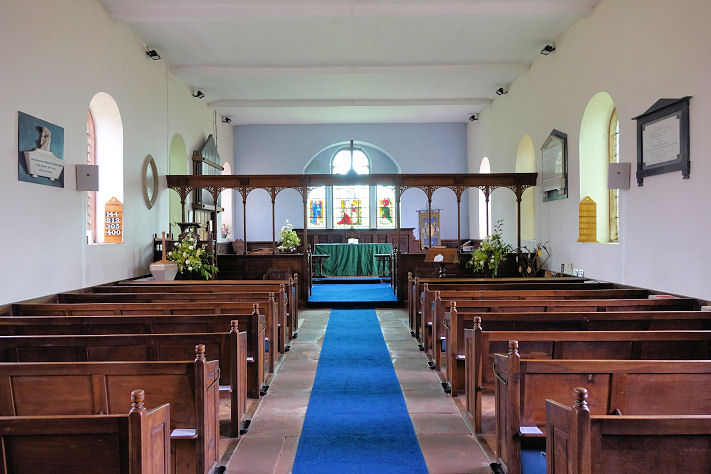
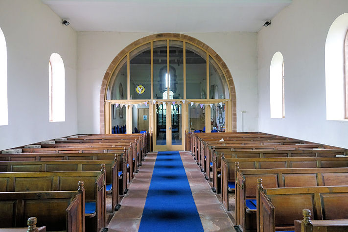
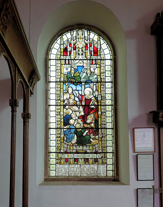
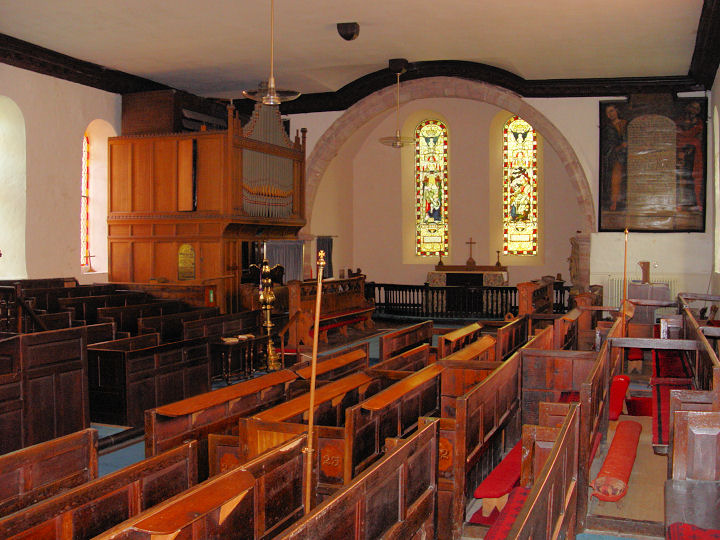
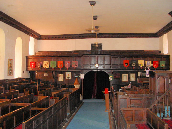
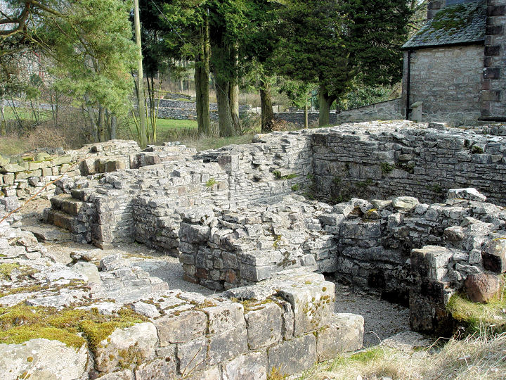
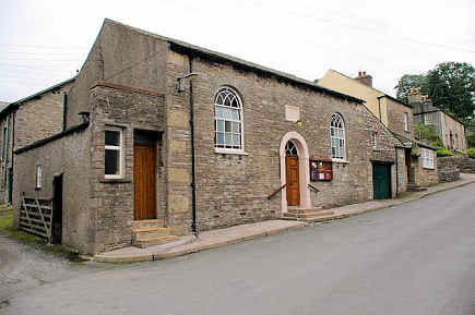
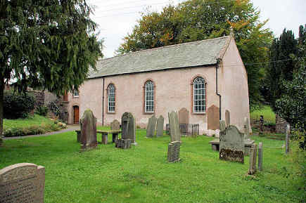
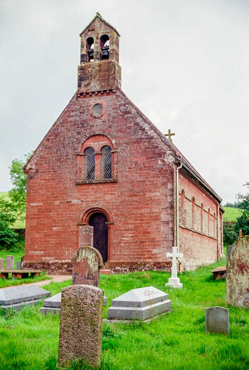
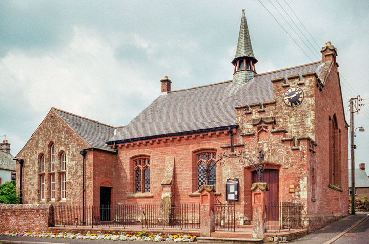
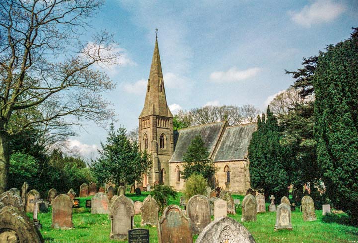
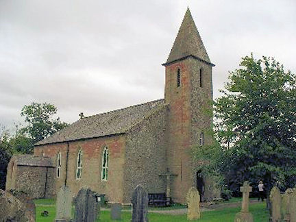
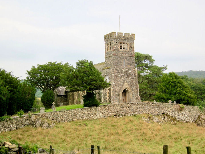
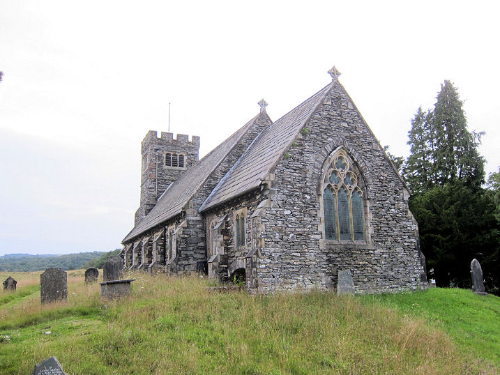
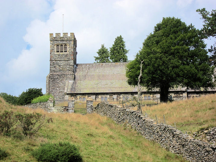
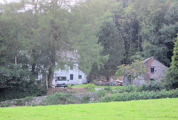
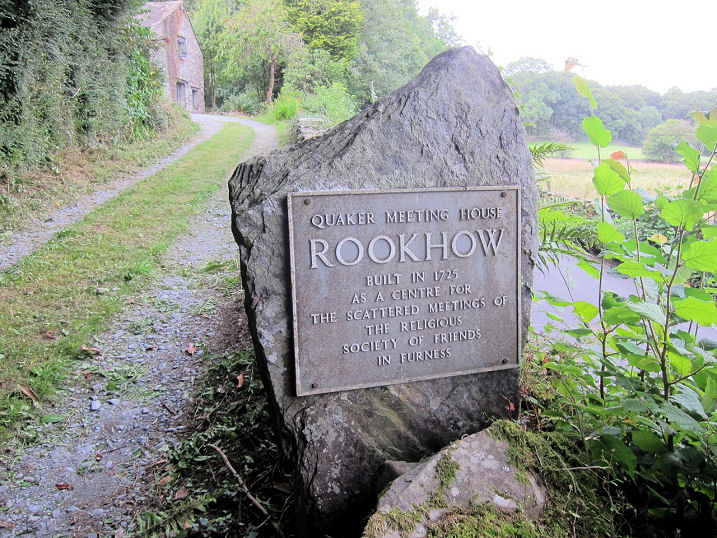
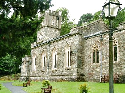
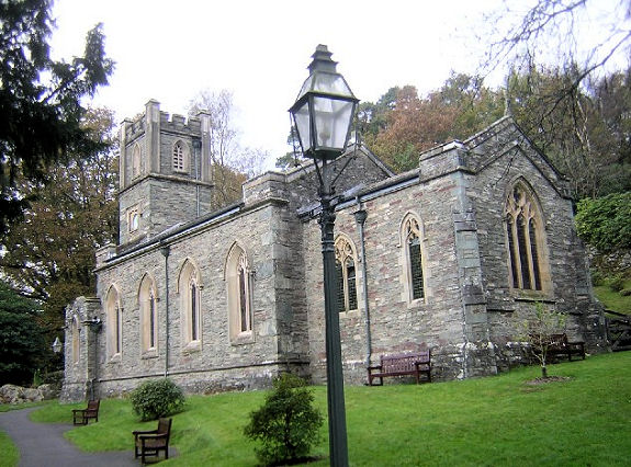
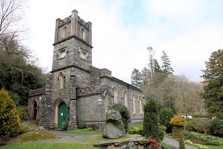
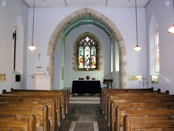
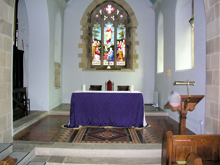
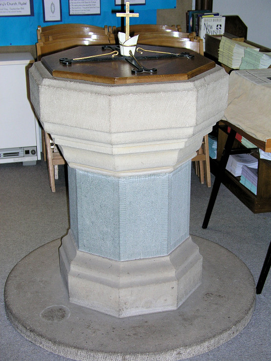
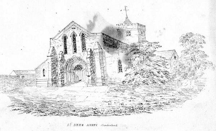
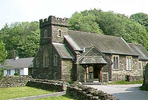
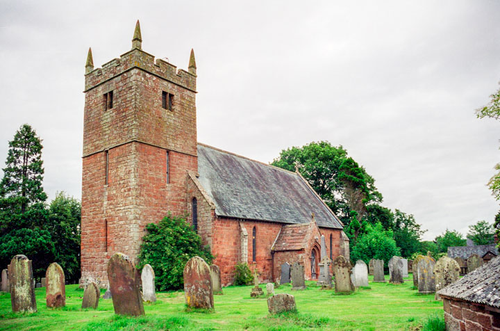
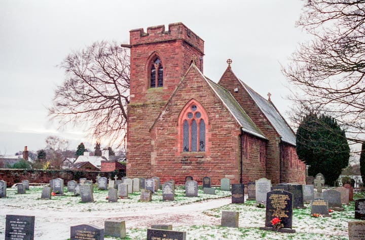
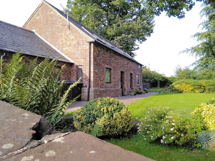
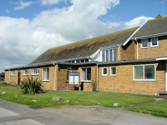
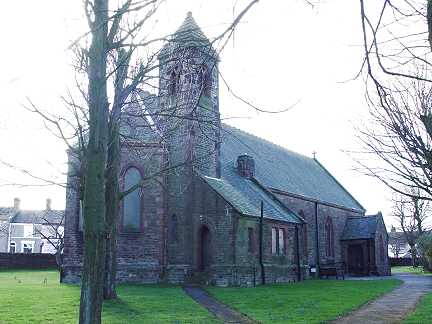
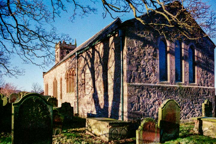
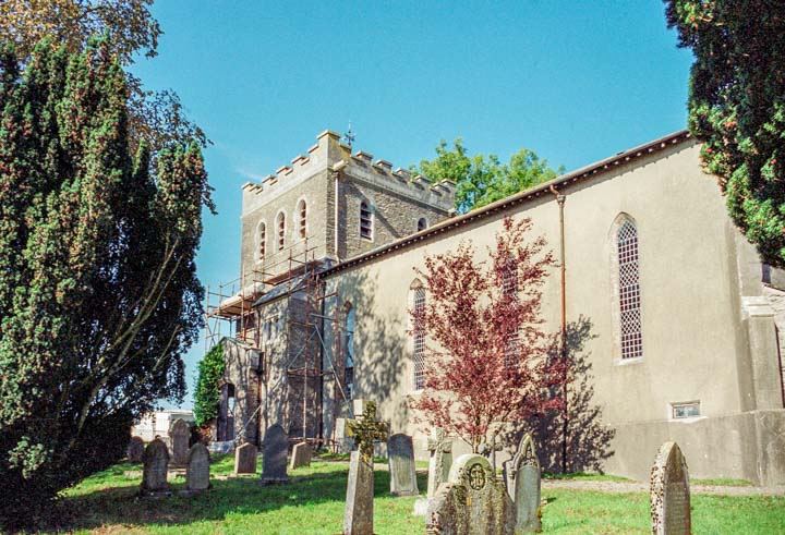
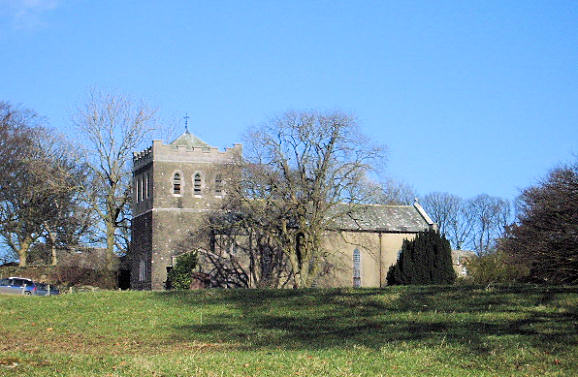
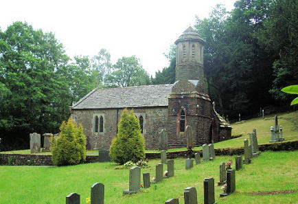
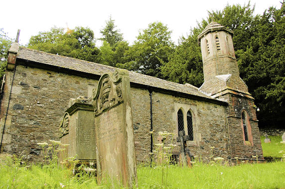
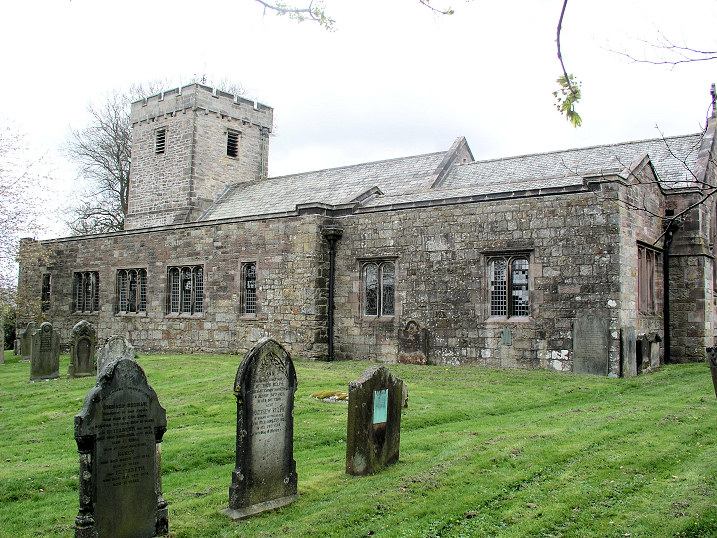
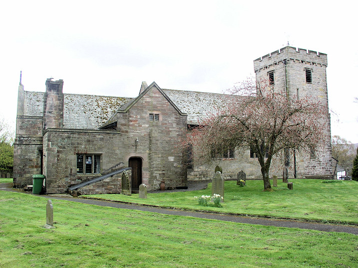
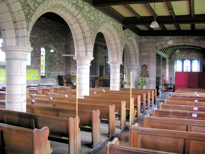
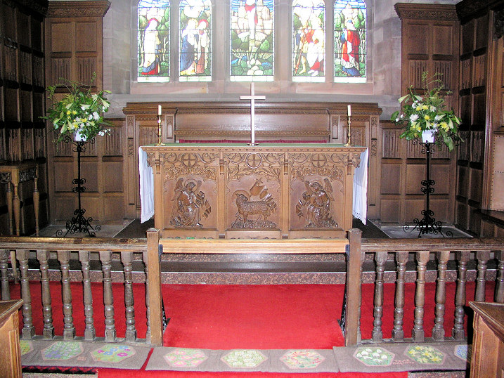
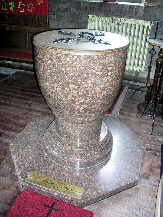
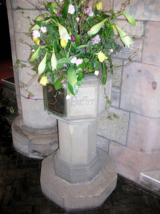
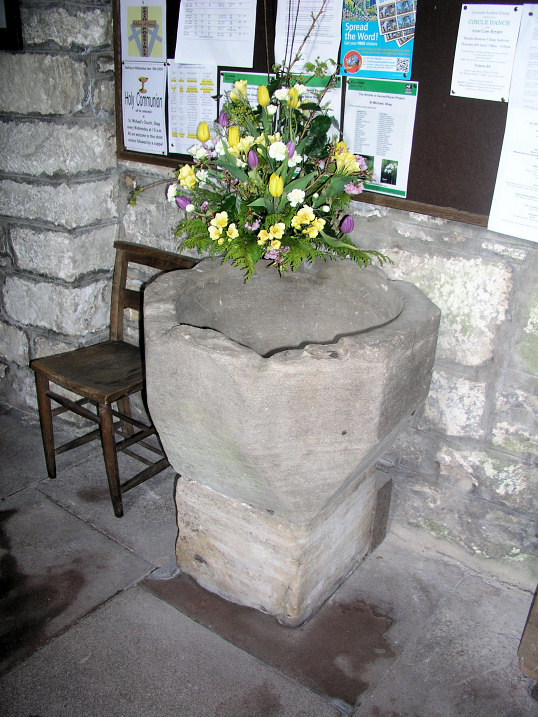
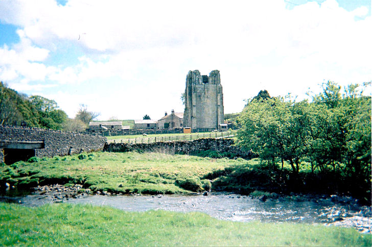
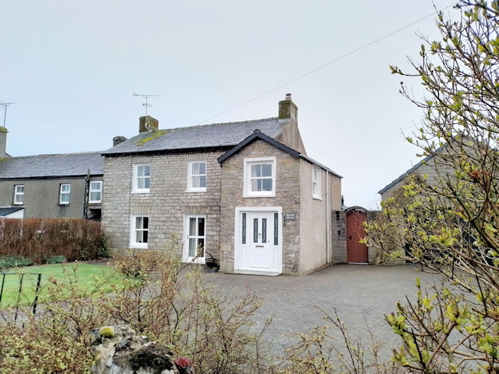
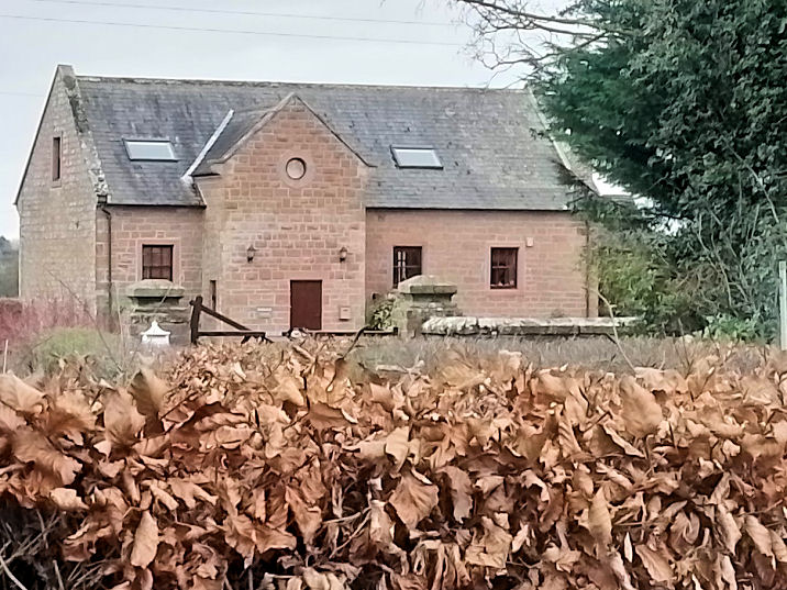
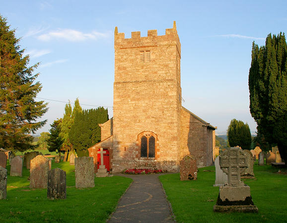
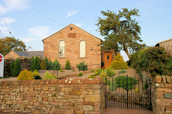
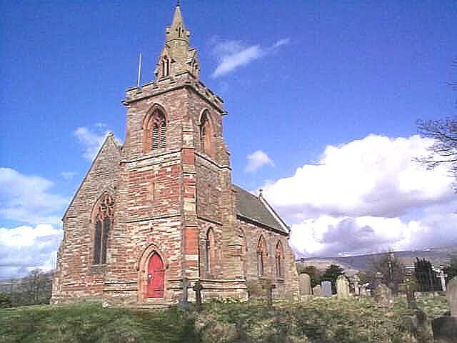
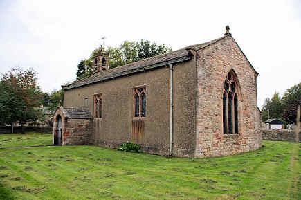
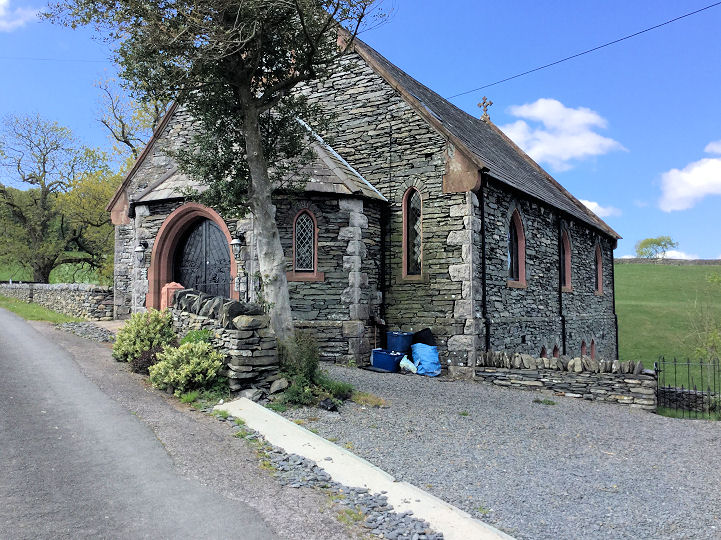
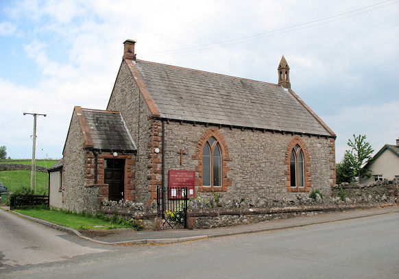
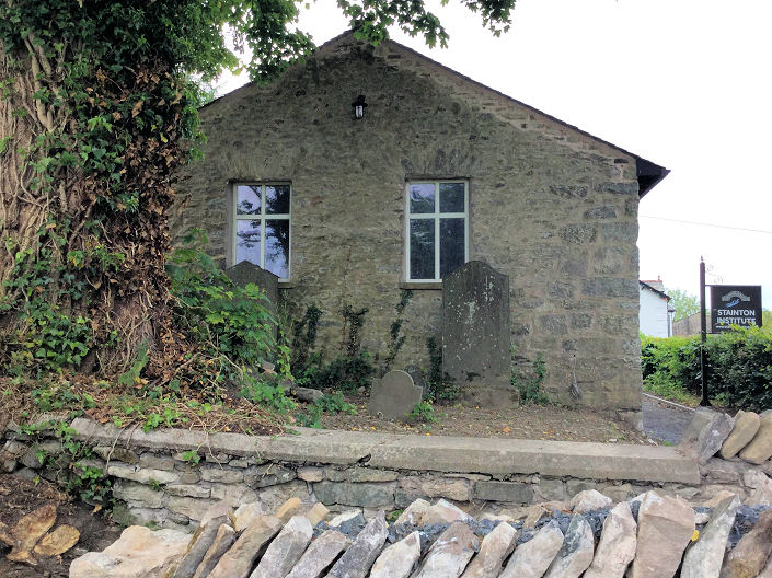
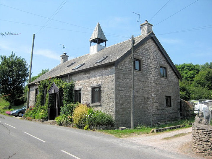
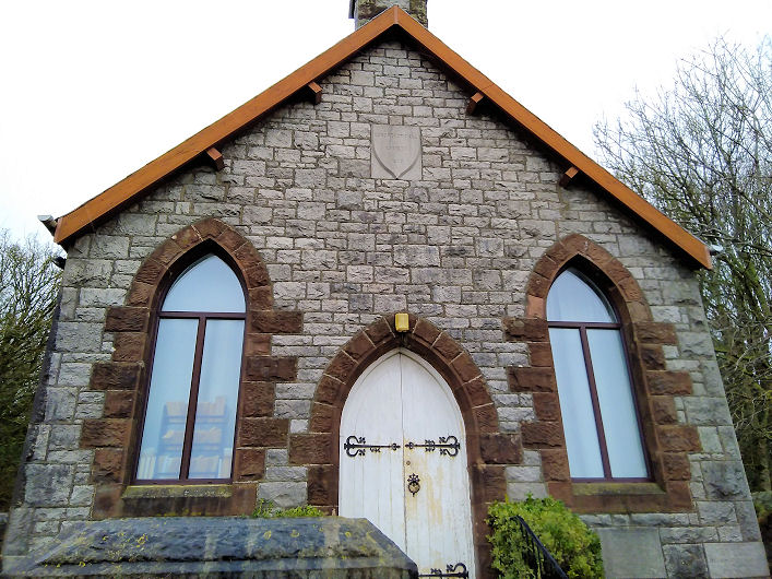
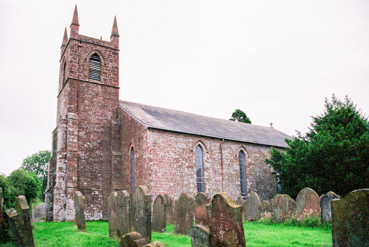
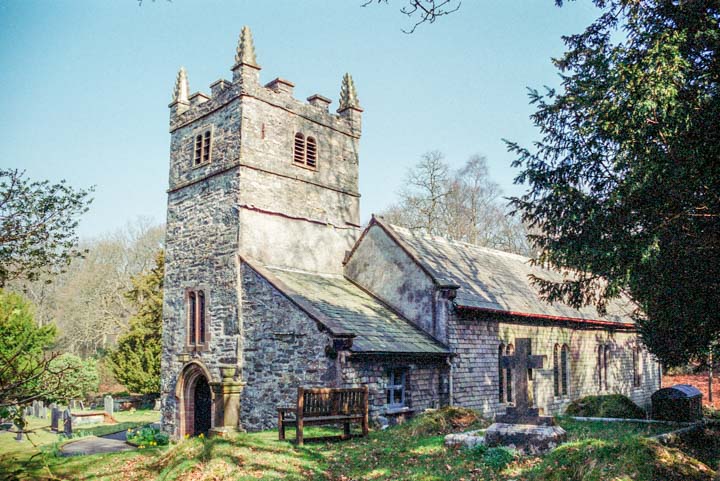
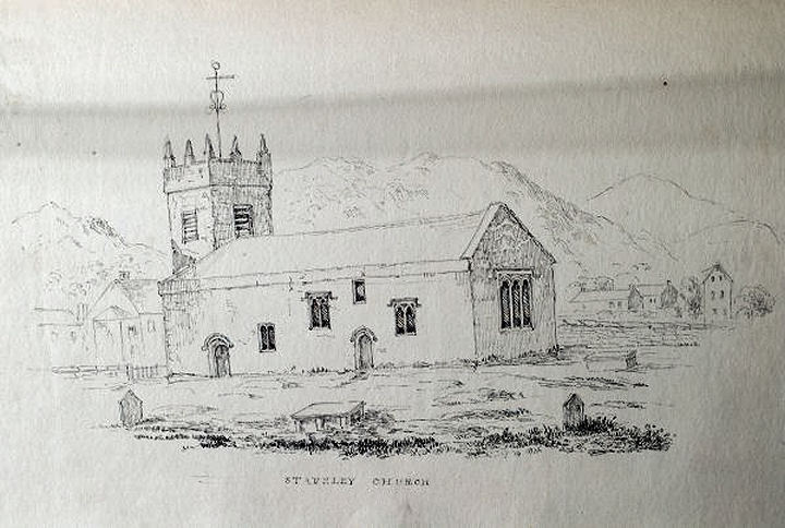
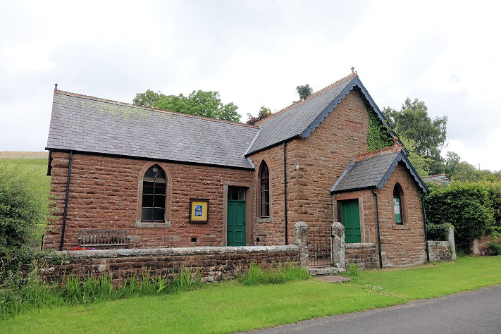
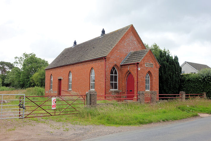
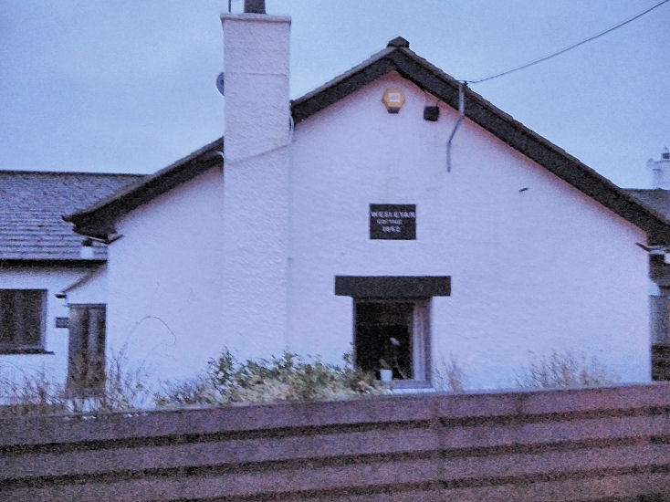
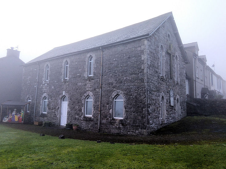
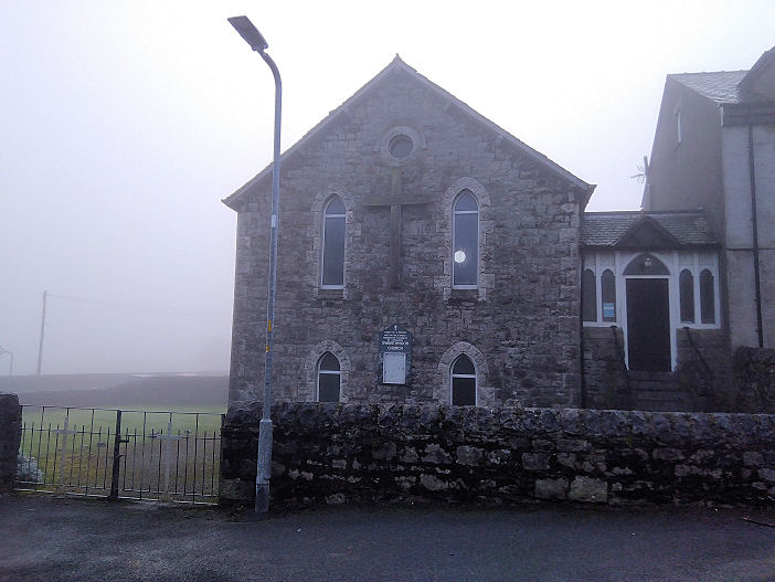
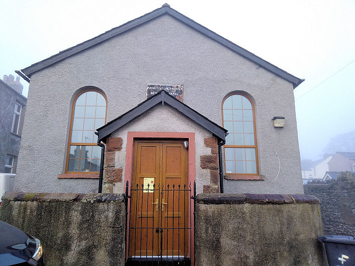
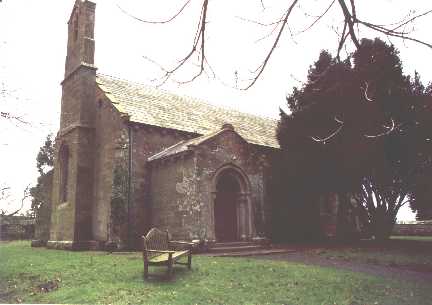
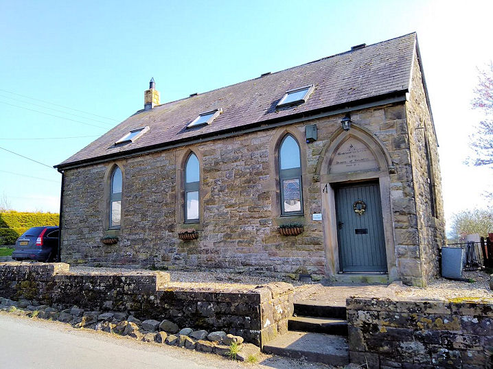
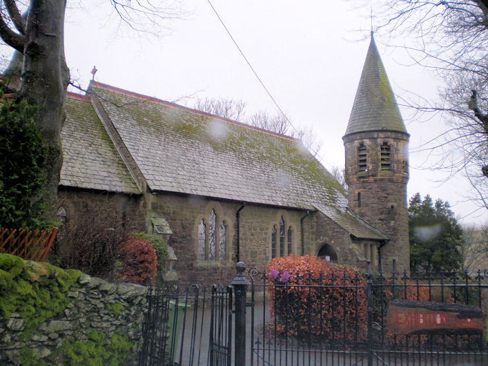
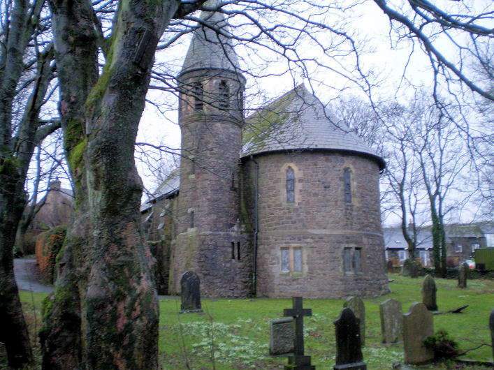
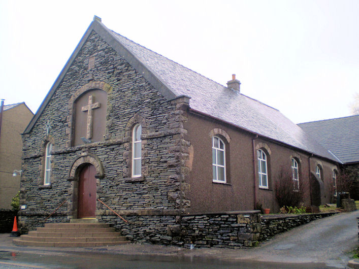
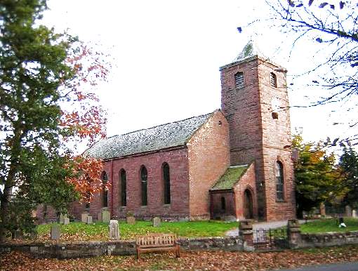
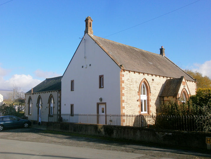
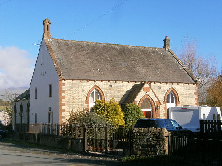
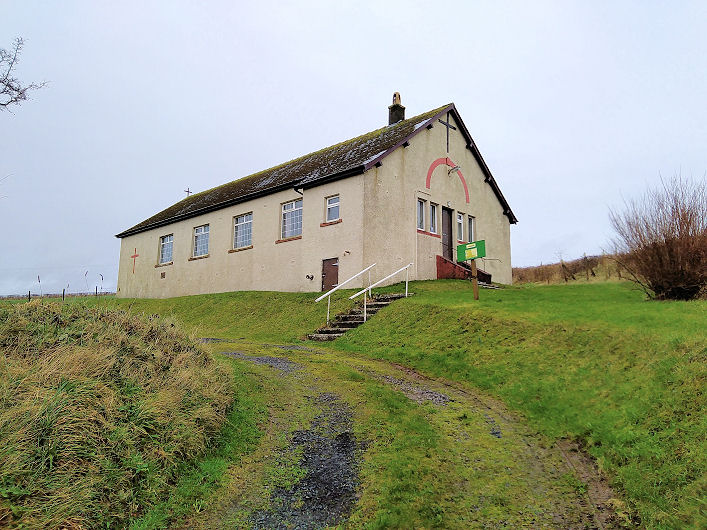
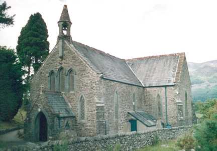
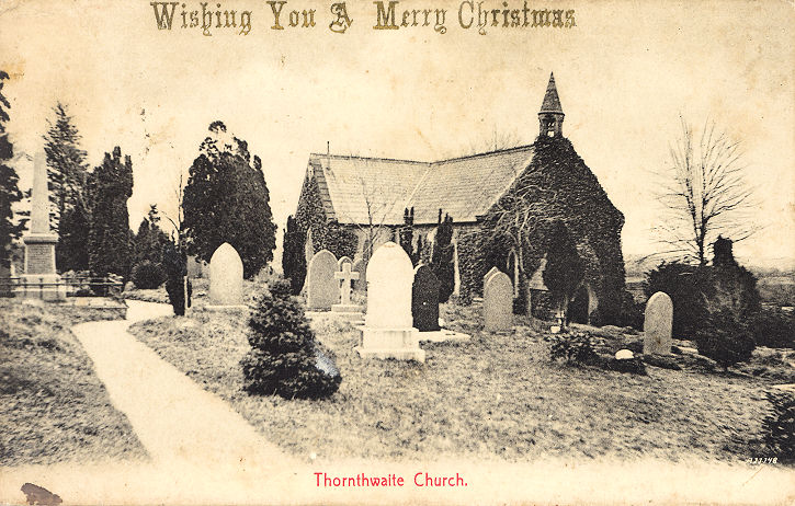
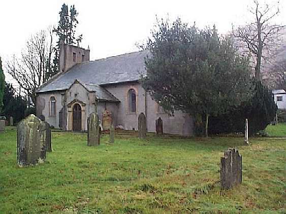
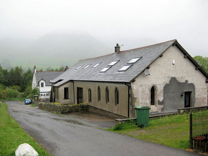
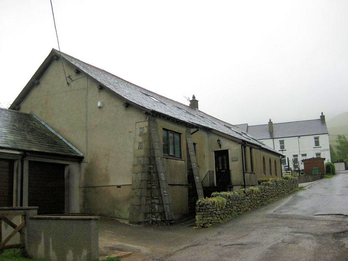
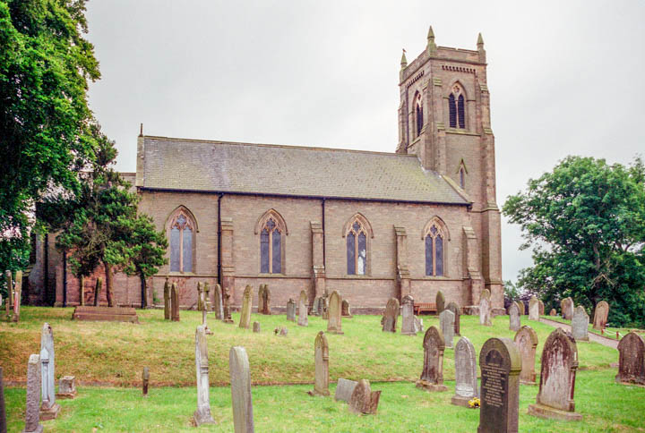
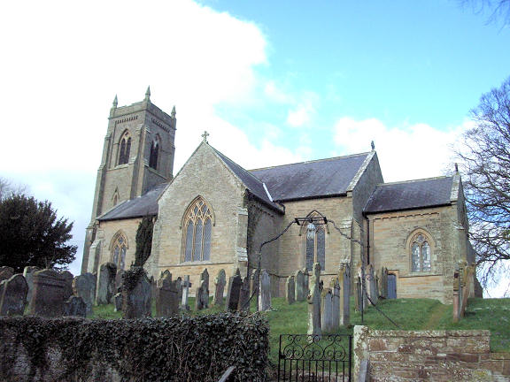
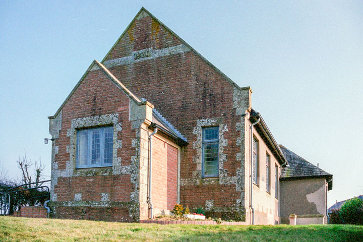
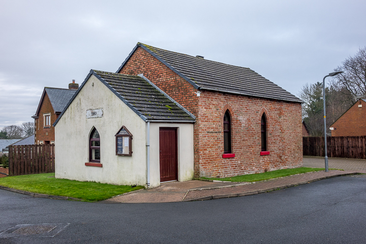
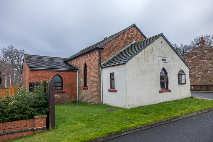
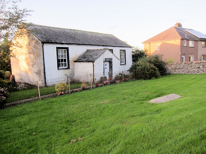
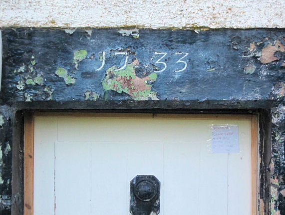
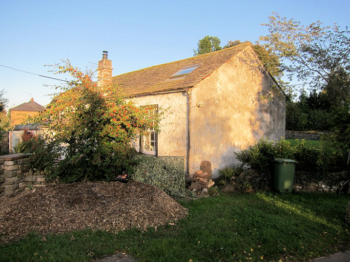
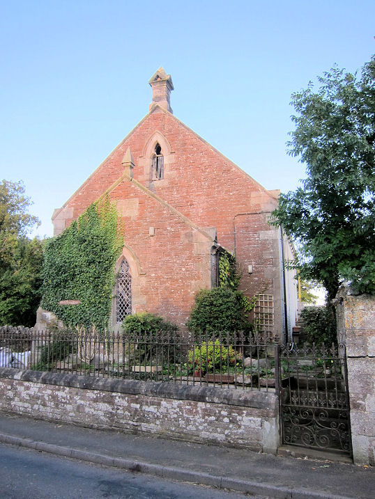
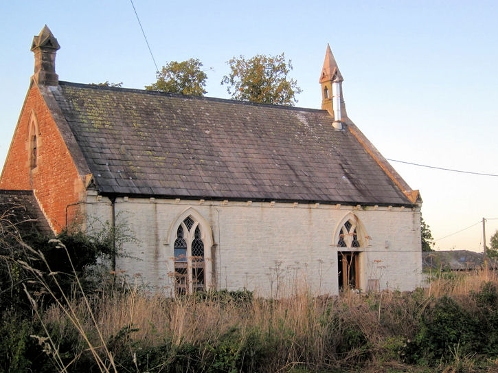
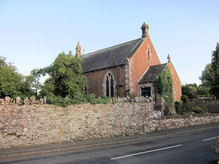
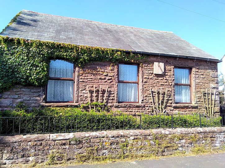
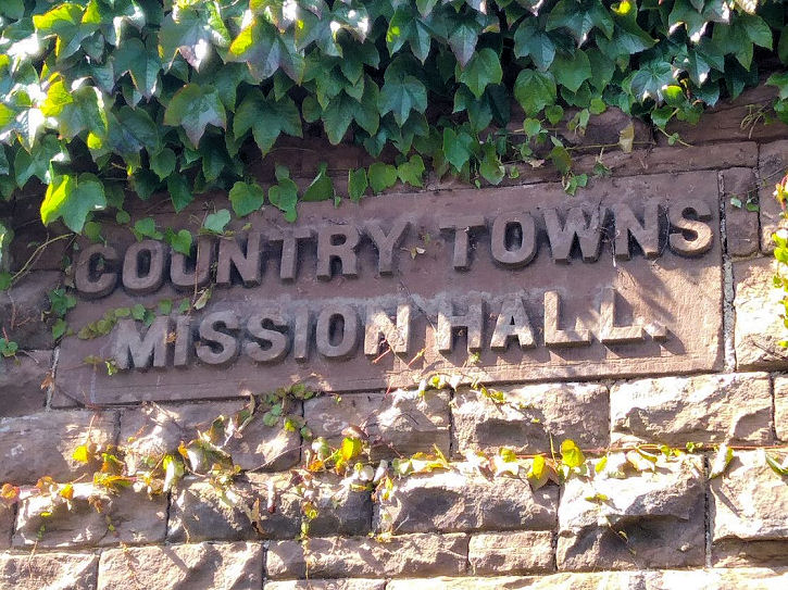
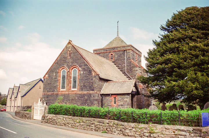
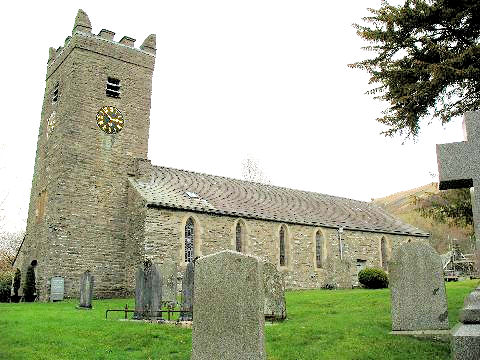
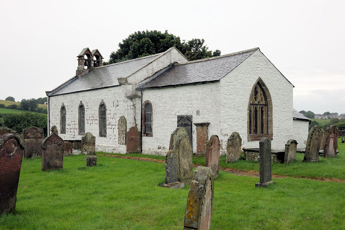
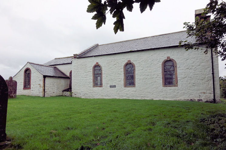
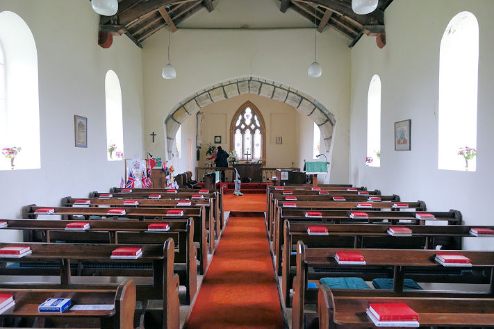
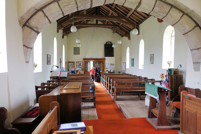
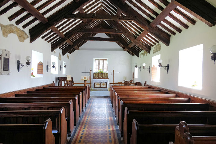
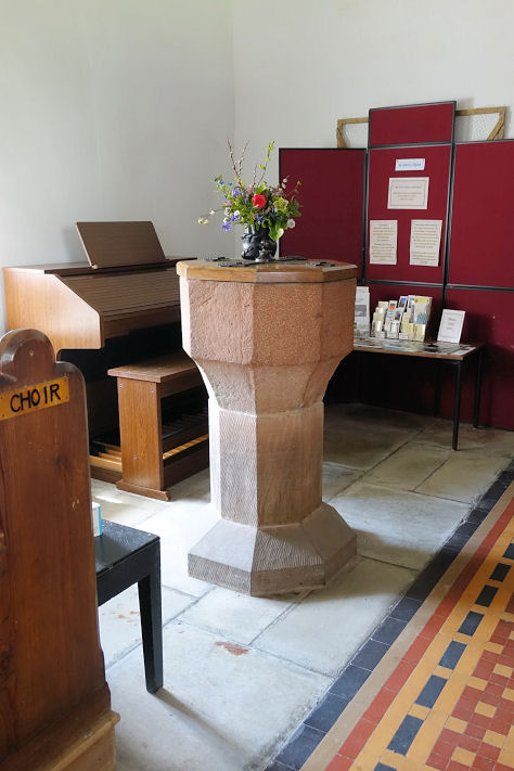
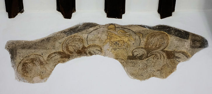
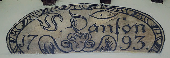
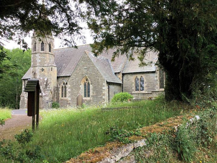
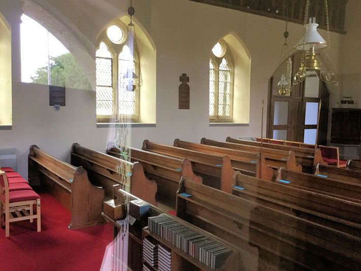
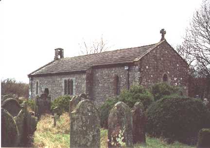
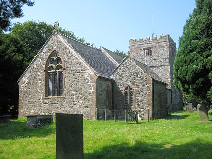
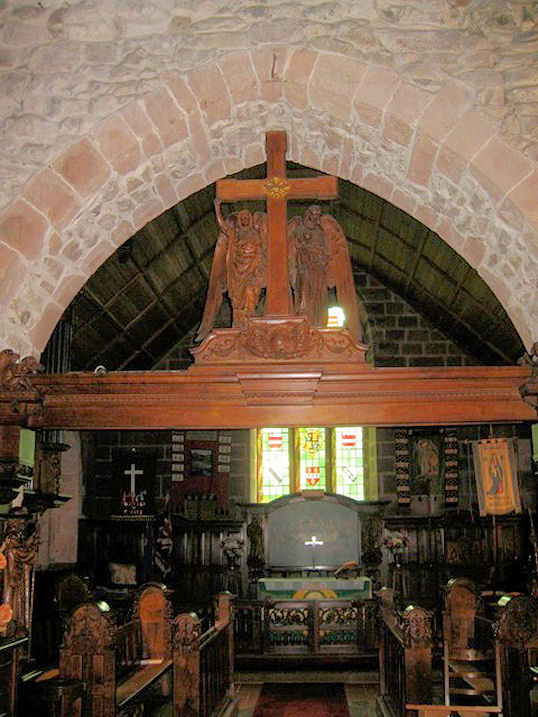
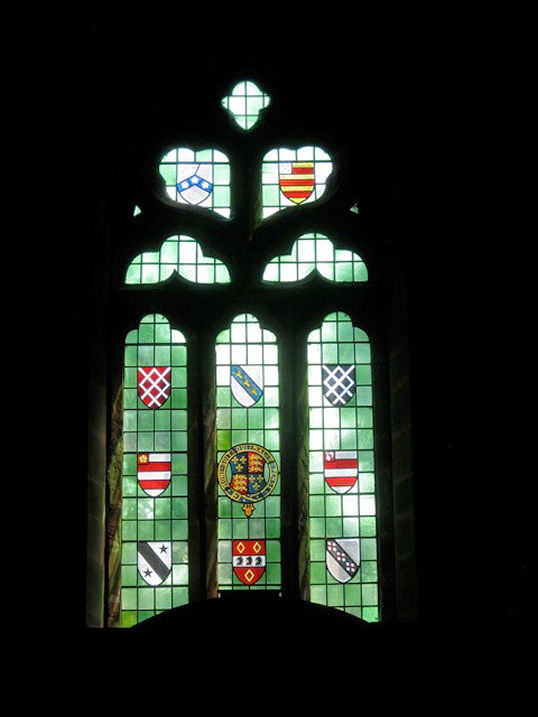
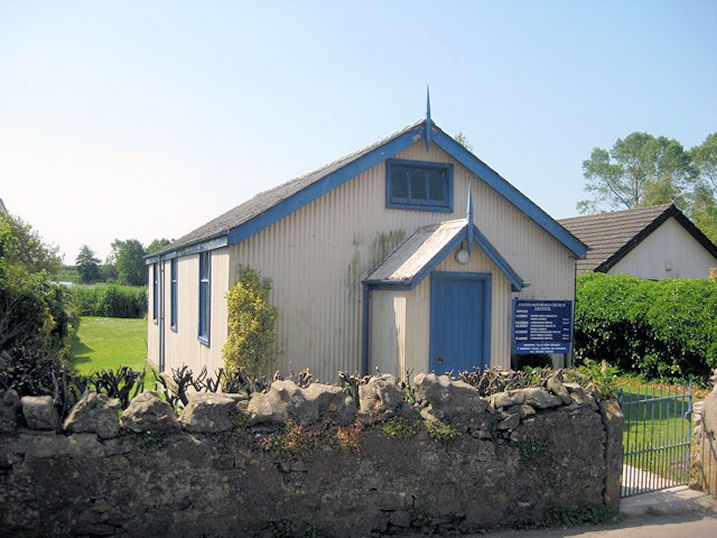
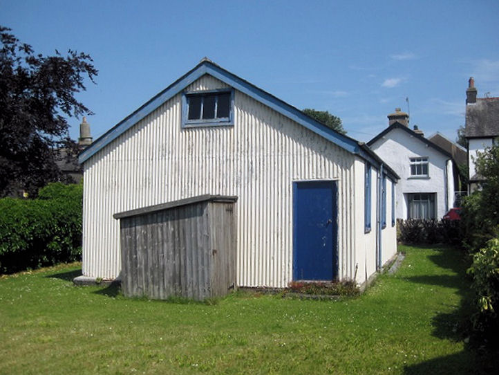
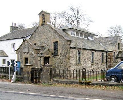
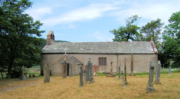
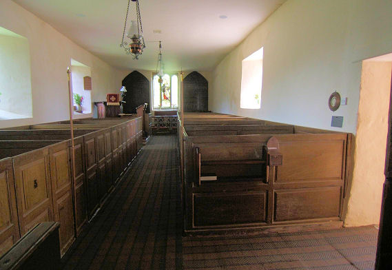
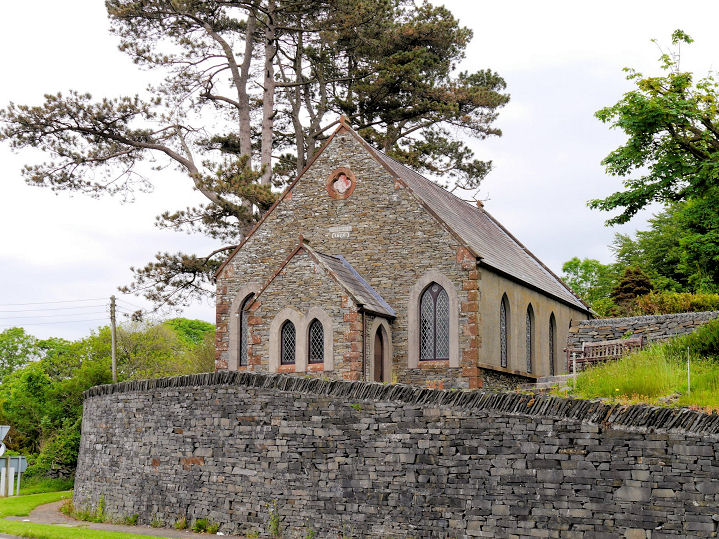
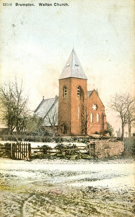
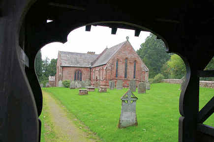
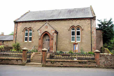
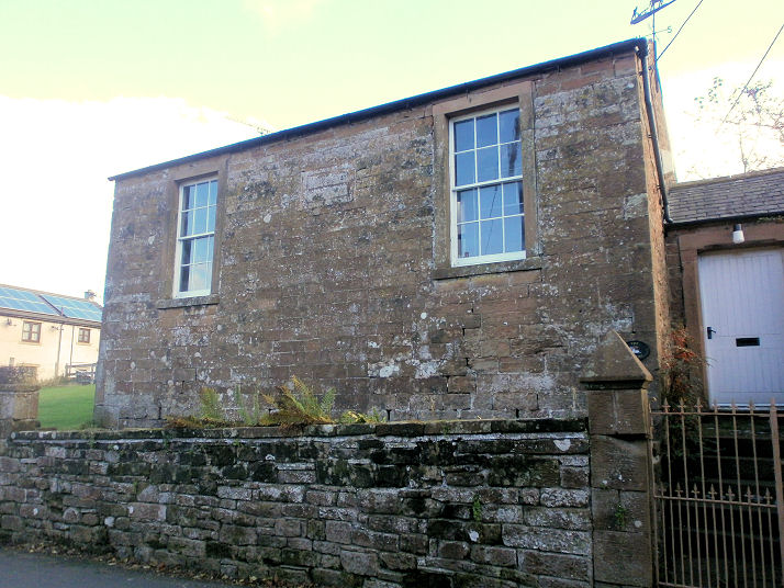
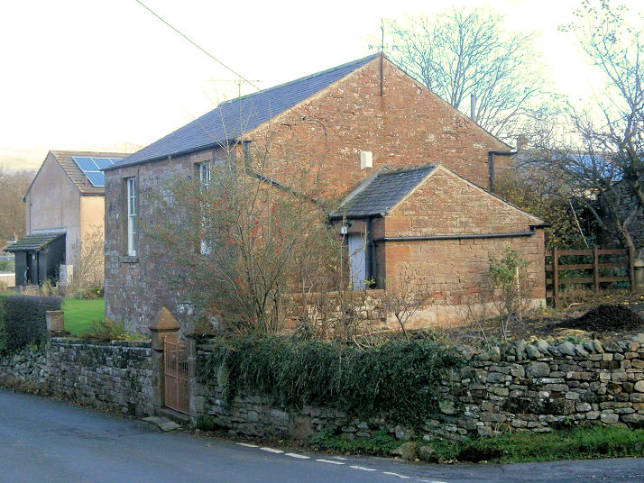
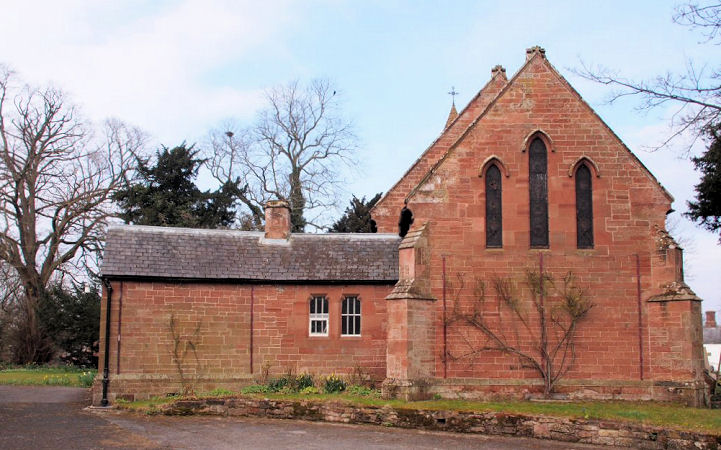
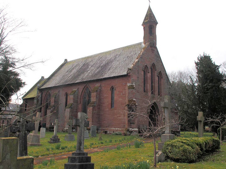
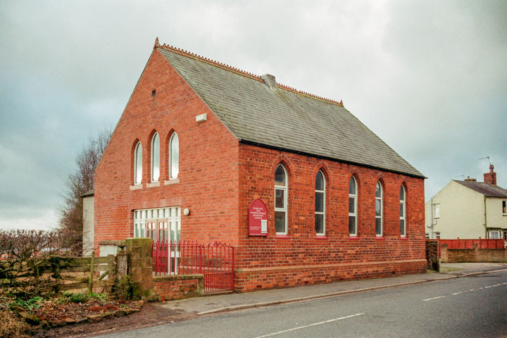
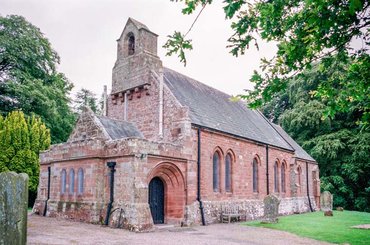
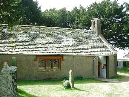
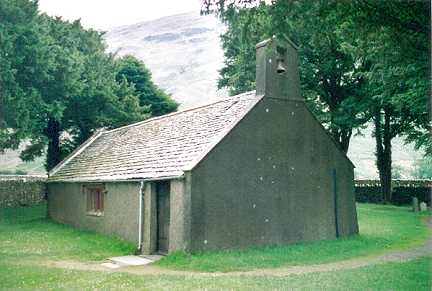
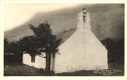
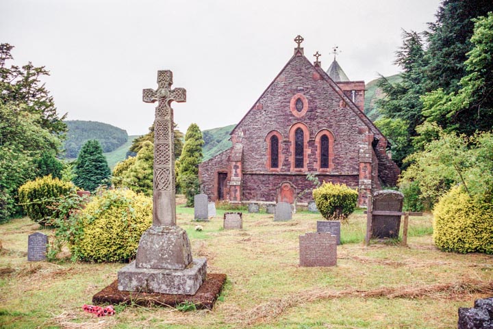
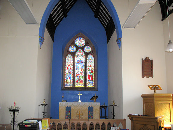
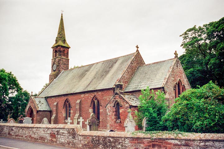
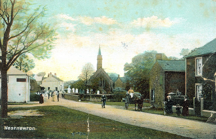
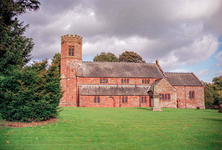
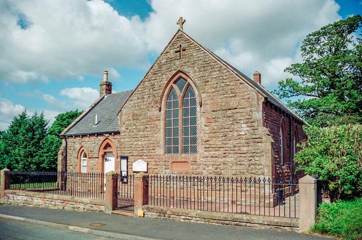
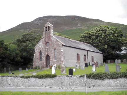
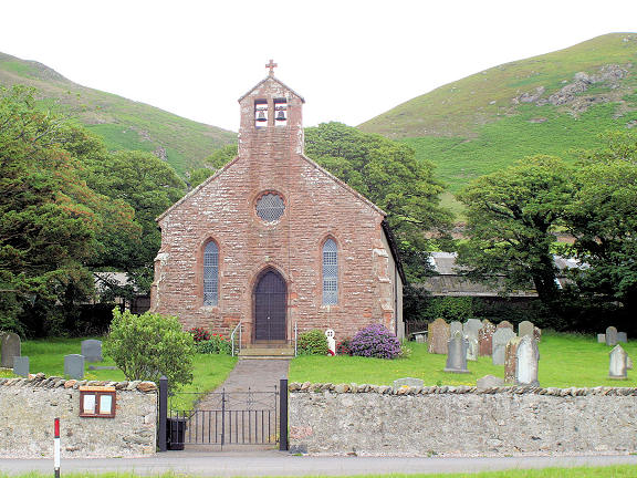
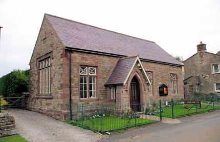
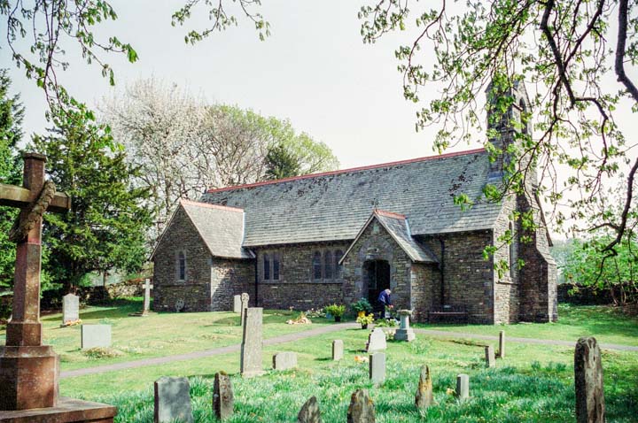
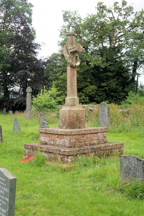
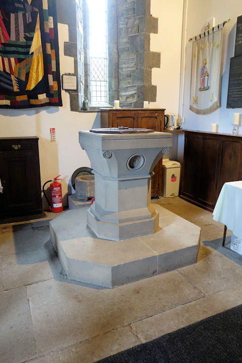
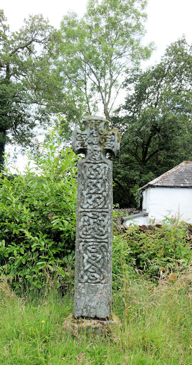
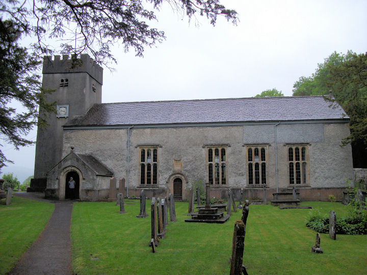
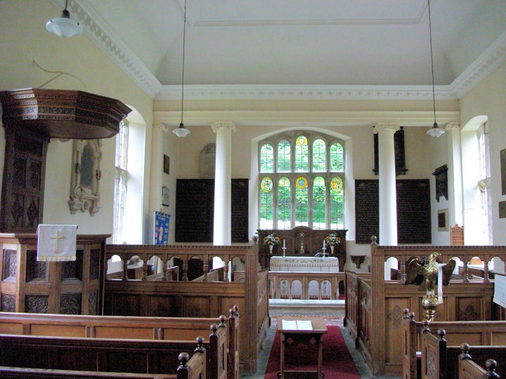
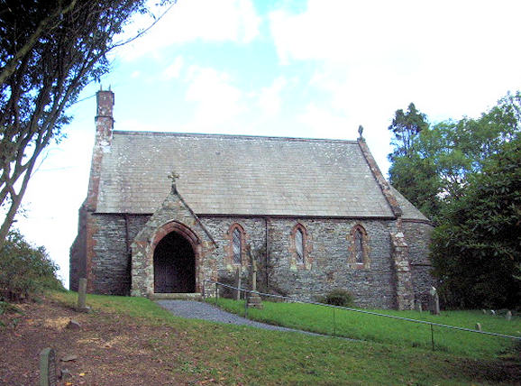
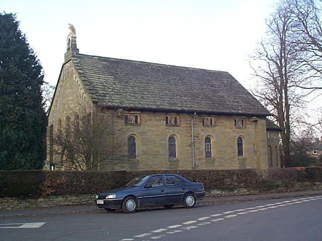
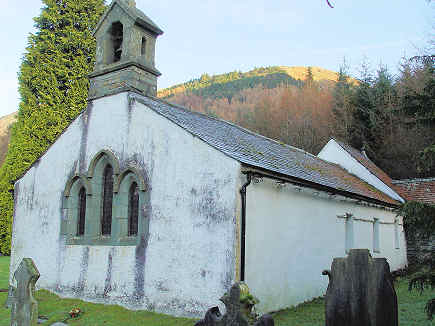
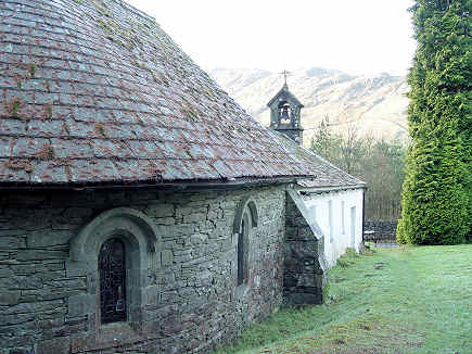
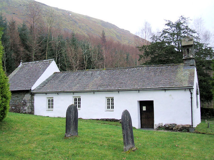
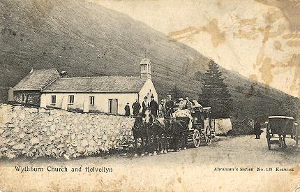
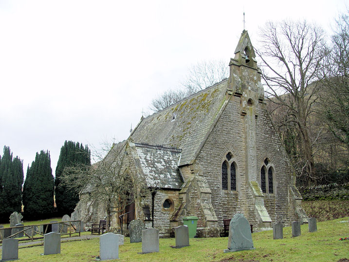
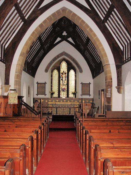
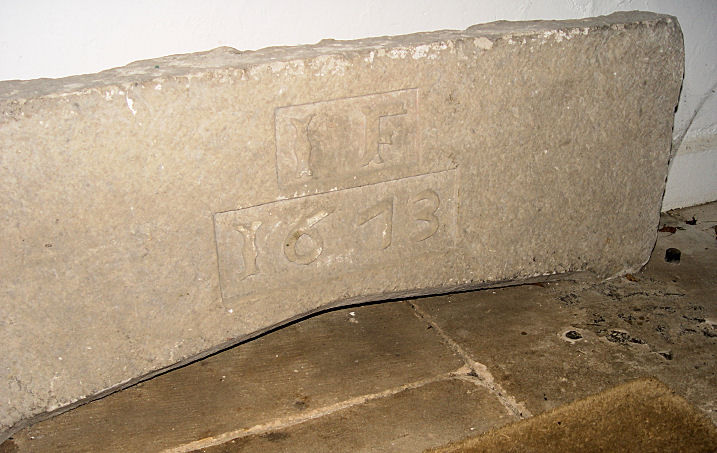