|
|
Cambridgeshire
Cambridgeshire on Wikipedia.
Abbots
Ripton, St. Andrew. Another view.
TL 2305 7800. Both © Jim Rushton.
Link.
Grade I listed.
Abbotsley, St. Margaret (K), which is
in the care of the Churches Conservation Trust. Curiously, their
website gives the dedication as St. Margaret, the canonised wife of King
Malcolm III of Scotland, while the
church website gives
the dedication as St. Margaret of Antioch. TL 2277 5654. © Jim Rushton. Another view, © James Murray.
Another view, two of the interior -
1,
2, the
chancel,
pulpit, a statue-corbel in the
form of an angel, a rather fine
niche arch, and the
font, all © Chris Stafford (2013).
Grade II* listed. A table tomb in the churchyard is also listed, as
grade II. Older O.S. maps show a Wesleyan
Methodist Chapel set well back of the road along the north side of High
Green, at NZ 2266 5665. The National Archives
references
documents pertaining to the chapel for the years 1882-1952. Barely visible in
the background of a 2021
Streetview, it can be slightly better seen
here.
Abington Pigotts, St. Michael & All
Angels.
Another view. TL 3044 4466.
Link.
Grade II* listed.
Alconbury,
St. Peter and St. Paul. TL 1845 7612. © Robin Peel. Another view, ©
Jim Rushton. Four interior views - 1,
2,
3,
4, a triple lancet
window, a
stone-carved figure, one of the
ceiling angels,
ceiling boss,
the pulpit and the
font, all
© Chris Stafford (2013).Link.
Grade I listed. The 1902 6" O.S. map of 1902 marks a Chapel at TL 1858 7600.
This was Wesleyan, as can be seen in a
2016 Streetview. I can find
no useful information about the chapel on the internet, except to say that old
maps show that it was built before 1888, and it seems to have still been active
into the 1970's. It now appears to be in residential use.
Alwalton, St.
Andrew. TL 1335 9594. © Zoe Martin. Another
view, © Robin Peel. Link.
Grade I listed.
Older O.S. maps show a Wesleyan Methodist Chapel on
Church Street at TL 1342 9585. The National Archives
references
documents pertaining to the chapel for the years 1884-1951. The bungalow on the
site was seen by Streetview
in 2022 - it's called Old Chapel 1826, so is presumably the converted
chapel, though there's nothing obvious to confirm this. However a photo of the
chapel in circa 1906 can be seen
here, and
shows what appears to be the same roof.
Arrington, St. Nicholas. TL 3251 5030. © Bill McKenzie.
Two further views - 1, 2. Both © James Murray. Link.
Grade I listed.
Ashley, St. Mary (1845). Another view, three interior views -
1, 2, 3, and the font.
TL 7002 6163. All ©
Chris Stafford (2012).
Link1. Link2.
Grade II listed. A Wesleyan Methodist Chapel
used to stand at the west end of The Green, at TL 6978 6164. It was probably the
tin tabernacle mentioned
here where
it's dated to 1891-circa 1983. O.S. maps show St. Mary's
Church (Site of) about ¾ of a mile east of the village at TL 7113 6157.
Its remains (described
here as
consisting of some low walls, but "densely overgrown" and "impenetrable in
1991"), if they survive, are within the wood seen in the distance on a
Streetview of 2021.
Babraham, St.
Peter. The church contains a fine monument, and a
lovely modern stained glass window. TL
5096 5053. All © John
Salmon. Two interior views - 1,
2, and the
font, all © Chris Stafford (2013).Link.
Grade I listed.
Bainton, St. Mary.
TF 0945 0605. © Marion Hall. Another view,
three of the interior - 1,
2,
3, and the
font, all © David Regan (2019).
The porch,
chancel, and a fine
memorial, all © Chris Stafford
(2015).
Link.
Grade I listed.
Balsham, Holy Trinity (K) on Church Lane.
Another view.
TL 5879 5086. Both © David Regan (2019).
Another view, two interiors - 1,
2, and the
font with its flamboyant cover. There
is good stone and
wood carving. All
© Chris
Stafford (2014).
Link.
Grade I listed. For other listed features associated with the church, see
here. A Congregational Chapel is
marked on old maps, at TL 5865 5069. It pre-dated a map of 1886, and seems to
have remained in use until 1960 at least. This
source dates it to 1833. A 1910 photo of it is available
here, and its site can be seen on a
Streetview from 2016. The
same source also mentions a Primitive Methodist Chapel
of 1859-1896, but I haven't been able to locate it on maps of the period.
Barham, St. Giles. TL 1370 7546. © Jim Rushton. Link.
Grade II* listed.
Barnack, St. John the Baptist. Two
additional views - 1,
2. It has
significant Saxon fabric, particularly in the tower, a Saxon
Christ in Majesty, and a handsome
font - 1,
2. Five interior views -
1,
2,
3,
4,
5. TF 0793 0506. All © David Regan (2016 and 2019). An unusual
grave marker in the form of a fallen
palm tree, the porch, a
Saxon window and decoration, and the
pulpit, all © Chris Stafford (2015),
who describes it as "a most rewarding church".
Link.
Grade I listed.
The former Methodist Church
(originally Wesleyan) on Main Street. This
source dates it to 1898, replacing an earlier chapel on a different site, of
1828. TF 0798 0514. © David Regan (2019). According to this
Estate
Agent's notice, planning permission for conversion was granted in 2016. A
map of 1886 shows the older chapel, which stands or stood on Church Lane, south
of the church. Exactly which building is being labelled is unclear, and
Streetview doesn't give a view, so I can't say if it survives. It stood at circa TF 079 049.
Barrington, All Saints. Another view,
the interior, and the Lady Chapel.
TL 3967 4996. All © James Murray.
Link.
Grade I listed. Former chapel (1856) now a private residence, which Janet
Gimber advises was Barrington Congregational Chapel. TL 3950 4975. © James
Murray.
Bartlow, St. Mary on Camps Road.
Another view, two of the interior -
1,
2, the
chancel and the
font. Some wall-paintings survive -
1,
2. TL 5860 4518. All © David Regan
(2019). Link.
Grade I listed. A tomb in the churchyard is listed as
grade II.
Barton, St. Peter.
Another view, and the
interior.
TL 4078 5572. All © James Murray. Link.
Grade II* listed.
Baptist Church on High Street. TL 4075
5566. © James Murray.
Bassingbourn, St. Peter and St. Paul. Another view.
TL 3306 4407. Both © Peter
Wenham. Link.
Grade I listed. The U.R.C.
on South End, as seen by Streetview in 2008. TL 3318 4372.
Link.
Grade II listed. What
one may presume is a predecessor shows on O.S. maps as a
Congregational Chapel nearby at TL 3333 4378. Its
grade II listing dates it to 1790. It was seen by
Streetview in 2016. The
cemetery on The Causeway has a double Mortuary Chapel.
Streetview barely glimpses
it because of trees and shrubs. TL 3381 4421.
Grade II listed wherein it's dated to 1879.
Bluntisham,
St. Mary on Rectory Road.
Another view.
TL 3725 7447. © Jim Rushton.
Streetview
saw the church in 2014.
Link.
Grade I listed.
The Baptist Church on High
Street. TL 3682 7461. Its
grade II listing advises a building date of 1874, replacing an earlier
chapel of 1787 on the same site.
Its former Sunday School of 1887
now serves as the church hall.
Grade II listed.
Both © Jim Rushton. In a recent communication (2010), Graham Harris, the church deacon, advised that
the buildings had recently been renovated, and supplied the following link
(a good church history) and photo of the
Memorial Wall, © Graham Harris.
Bottisham, Holy Trinity. Two interior views - 1,
2, the first showing the stone screen, the chancel, and the
font. TL 5455 6049. All © Judith Anderson (2014). The church has some fine monuments -
1, 2, 3, all © Steve
Bulman (2014). Link.
Grade I listed. The former
Independent/Congregational Church, now used by the Scouts. TL 5493 6025. © Steve Bulman (2014).
Bourn,
St. Helena and St. Mary.
Another view. TL 3244 5637. Both © Jim Rushton.
Interior view, and
the
Lady Chapel, both © James Murray. Link.
Grade I listed. A former
Wesleyan Methodist Chapel (2011 Streetview) stands on High Street at TL 3245
5652. It pre-dates a map of 1887, and the National Archives
references
documents pertaining to the chapel for the years 1890-1985.
Boxworth,
St. Peter on High Street.
Another view. TL 3483 6449. Both © Jim Rushton.
Another view, three interiors -
1,
2,
3, a
window, and the
font, all
© Chris Stafford (2015).
Link.
Grade II* listed.
Brampton, St. Mary Magdalene.
TL 2148 7071. © Bill Henderson. Another view, and the
interior, both © Jim Rushton. The
side chapel screen, the
altar, two of the misericords -
1,
2, and the
font, all
© Chris Stafford (2015).
Link.
Grade I listed. Village Church meets in
Brampton Community Centre on High Street. It was seen by
Streetview in 2018. The
building is a former church, labelled on older maps as Union Chapel (Baptist
and Congregational). It pre-dates a map of 1888. TL 2108 7086. The
Methodist Church on The Green was originally
Primitive Methodist, and is dated 1889.
TL 2058 7094. © Richard Roberts (2024).
Another view from Streetview
in 2009. Link1.
Link2. Old maps show a school south of the village, with
St. George's Chapel standing adjacent at TL 2141
7033, on Buckden Road. School and chapel have both gone, replaced by housing
(according to A.I. in 2026, they were demolished in the 1960's). The site of the
chapel was seen by
Streetview in 2023.
Brington,
All Saints.
Another view. TL 0825 7596. Both © Jim Rushton. Link.
Grade II* listed.
Brinkley,
St. Mary on High Street. The
interior, and the
font. TL 6294 5483. All © David Regan
(2019). A charming carved owl on a
gatepost, the porch, another
interior view,
and the
altar, all © Chris Stafford (2014).
Link.
Grade II* listed. The remains of a cross stands in the churchyard, and is
grade II listed. O.S. maps mark, in the nearby hamlet of Willingham Green,
St. Matthew's Chapel, (Site of), at TL 6248 5396.
It's in the font usually reserved for medieval (or earlier) sites. The
dedication to St. Matthew is possibly erroneous, and may properly have been to
All Saints - see
here,
where the remains are said to have been removed in the 19th century. Its site
lies at the far end of the field seen by
Streetview in 2011. A
site to the north of the village is marked on maps as The
Chantry, though whether there was ever a Chantry Chapel here I haven't
been able to discover. TL 631 552.
Broughton, All Saints.
Another view, the
porch, two of the interior -
1,
2, some of the excellent
wall paintings, and the
font, TL 2806 7790. All © Chris Stafford (2014).
Link.
Grade II* listed. A former Baptist Chapel of
1861 stands on Causeway Road at TL 2818 7800. It was seen by
Streetview in 2021.
Grade II listed.
Buckden, St. Mary.
Also showing is the tower, part of the Palace of the Bishop of Lincoln (link).
Another view, and a
gargoyle. TL 1927 6766. All © Robin Peel.
An old postcard view. The postcard, of
about 1905, is of a lithograph dating from about 1793. From Alan Craxford's
Collection. Link.
Grade I listed.
For other listed features associated with the church, see
here.
St. Hugh of Lincoln (R.C.). ©
Graeme Harvey.
Link.
The Methodist Church (2022
Streetview) is on Church Street. It was originally Wesleyan, dated on the
church website to 1876. TL
1944 6769. Union Baptist Chapel is marked on old
O.S. maps off High Street at TL 1920 6791. Like other Union Chapels, it's likely
to have been Baptist and Congregational. I think it has survived, and what I
think is the building was seen by
Streetview in 2009. It
pre-dates a map of 1887, and was still active into the 1950's at least.
Buckworth, All Saints on Church Road.
Another view. TL 1480 7678. Both © David Regan
(2019). Link.
Grade II* listed.
Burrough Green, St. Augustine of
Canterbury on The Green. Another view,
two of the interior - 1,
2, and the
font, dated 1672. An unusual
feature was created by the removal of the chancel arch, leaving the supporting
columns (responds) to be topped with
urns. There is much of interest here - "must have been an important church
at one time" says David. There's a
double piscina and triple sedilia, for example, and some fine tombs -
1,
2.
TL 6353 5544. All
© David Regan (2019).
Link.
Grade II* listed.
Burwell, St. Mary. A large and handsome church with much of interest. Another view,
three interiors - 1, 2, 3, a
side chapel,
wall painting, and the
font. TL 5895 6606. All © Steve Bulman (2014).
Link1. Link2. Grade
I listed. Other listed features can be found
here. Trinity Church (Methodist and U.R.C.)
stands on High Street, and was seen by
Streetview in 2011. TL 5886
6649. Link. Nearby, on
Mill Lane, stands a former
Congregational Chapel,
seen by the Streetview van in 2008. It pre-dates a map of 1886. TL 5893 6648.
The same map also shows Wesleyan and
Primitive Methodist Chapels. The former is set back
from The Causeway at TL 5878 6703, it was seen by
Streetview in 2011, and is
dated in its
grade II listing to 1835, with a later extension in 1914. The former
P.M. (2011 Streetview) is on
North Street at TL 5871 6745. A Baptist Chapel also
stands on North Street at TL 5877 6776. Its
grade II listing dates it to "after 1842".
Streetview saw it in 2010.
Link. A little way further
north along the same road is the former
St. Andrew (2011
Streetview). TL 5879 6789. An 1868 directory, quoted
here, calls it
St. Andrew's Mission Church, and called St. Andrew for an ancient but long
gone church in the area. Large scale O.S. maps mark
Parsonage Farm Remains of Priory of St. John, at the west end of
Parsonage Lane, at circa TL 585 666. I don't know whether any old remains are
still identified as being from the priory, but the farm's
grade II listing makes no mention of it. The farm buildings were seen by
Streetview in 2011.
Bury, Holy Cross. TL 2871 8377. © Jim Rushton. Link.
Grade I listed.
Bythorn, St. Lawrence.
Another view. TL 0570 7591. Both © Jim Rushton.
Two interior views - 1,
2, the unusually narrow
aisle, a surprised-looking
gargoyle, and the
font, all © Chris Stafford (2013).
Link.
Grade II* listed. A group of three chest tombs in the churchyard are listed
separately as
grade II. A former Baptist Chapel stands or
stood a short distance to the north-east of the church, on Main Street, at TL
0576 7595. It, or its replacement on the same site, was seen by
Streetview in 2009. It's
dated here
to 1809.
Caldecote, St. Michael and All Angels.
Another
view. TL 3471 5626. Both © Jim Rushton.
Another view, two of the interior -
1,
2, a
window, and the
font, all
© Chris Stafford (2015).Link1.
Link2.
Grade II* listed. Four headstones in the
churchyard share a
grade II listing.
Cambridge.
Carlton, St. Peter on Church Road.
Another view, the
interior, and the
font. TL 6418 5297. All
© David
Regan (2018). Link.
Grade II* listed.
Castle Camps, All Saints. Another view,
and the
interior (taken through a window).
TL 6257 4253. All © Chris Stafford (2014).
Link.
Grade II* listed.
The U.R.C. on High Street,
as seen by Streetview in 2011. Previously Congregational, on a map of 1887 it
has the curious label of Methodist Chapel (Independent). TL 6333 4334.
Link.
Castor,
St. Kyneburgha. Detail of the
tower. TL
1247 9853. Both from old postcards in Reg Dosell's Collection.
A modern view, six interiors -
1,
2,
3,
4,
5,
6, two of the remarkable column
capitals - 1,
2, and the
font. The
angel roof looks remarkably fresh, and
the fact that neither Pevsner, or the
grade I listing, mention it, suggests that it may be modern. © David Regan (2016
and 2019).
Link1.
Link2.
Grade I listed. Part of the churchyard boundary wall is listed as
grade II. A former Congregational Chapel stands
on Church Hill at TL 1226 9859. It's now The Old Chapel, and was seen by
Streetview in 2021.
Catworth (or Great Catworth), St.
Leonard. Another view. TL 0887 7336. Both © David
Regan (2019). Link.
Grade I listed. The churchyard gates and gate-piers have their own listing, as
grade II. The village also had Baptist and
Wesleyan Methodist Chapels. The Baptist Chapel
definitely hasn't survived - and the site hasn't been seen by Streetvi320.
Streetview saw it in 2021.
Both chapels pre-date a map of 1902, and both were active into the 1950's, at
least.
Caxton, St. Andrew.
Another view. TL 3001 5781. Both © Jim Rushton.
The following are all © James Murray. Another view, interior view, and
Lady Chapel. Link.
Grade II* listed. A toew. It stood on the right
along a narrow path leading off from Fox Road, seen
here in a 2021 Streetview.
TL 0860 7326. The former Wesleyan stands on High Street, at TL 0864 7mbstone in the churchyard is
listed as
grade II. The former
Baptist Chapel of 1845 on Ermine
Street. My thanks to Janet Gimber for the identification. TL 3043 5818.
Grade II listed.
Chatteris, St. Peter and St. Paul.
Another view. TL 3946 8607. Both © David Regan
(2018). Link.
Grade I listed. For other listed features associated with the church, see
here. Emmanuel Church
(2022 Streetview) on East Park Street was U.R.C. when its
grade II listing (which dates it to 1838) was compiled, and is marked on
older maps as Congregational. Today it's an L.E.P. - Baptist, Methodist and
U.R.C. TL 3939 8591. The former Zion Baptist Chapel
on Park Street, seen here by
Streetview in 2016, when the building was for sale. It has a date-stone for 1839
and now appears to be in commercial or industrial use. Another
Baptist Chapel is shown on old maps on West Park
Street, at TL 3926 8576. It was seen by
Streetview in 2022. Yet
another was Salem Baptist Chapel, which stood off
Huntingdon Road at TL 3903 8581. Salem Court is now on the site. The chapel
stood where the car park is
now (2022 Streetview). The cemetery on New Road had two
mortuary chapels. Aerial views show that neither has survived, and the
sites aren't visible on Streetview. The nonconformist chapel stood at TL 3997
8648, and the CoE at TL 4001 8649. A photo of one of these chapels can be seen
here (the photo at right - that at left is the lodge by the cemetery
entrance, also now gone). Further west along New Road is the site of a
demolished Wesleyan Methodist Chapel, at TL 3953
8630. A care home has been built on the site, and this was seen by
Streetview in 2022. The
Primitive Methodists were also represented, with a
chapel at the junction of Bridge Street and Chapel Lane. It's dated
here to 1850, with closure by 1926. It's tempting to think that the building
seen in a Streetview from
2008 is the chapel - the roof is suggestive. TL 3902 8675. On Ash Grove there's
a derelict former
Friends' Meeting House (2022 Streetview). TL 3915 8636.
Link.
Chesterton (near Peterborough), St. Michael.
TL 1264 9544. © Robin Peel. Link1.
Link2.
Grade I listed. For other listed features
associated with the church, see
here.
Chettisham, St. Michael and All Angels.
Two views of the interior - 1,
2, and the
font. TL 5468 8335. All © David Regan (2018).
Three additional views - 1,
2,
3, all © Karel Kuča (2019).
Link1.
Link2.
Grade II listed.
Cheveley, St. Mary and the Holy Host of
Heaven. Two interior views - 1,
2, the
chancel, a rather handsome
monument, and the
brightly-painted font. TL 6847 6084. All © David
Regan (2019).
Link.
Grade I listed.
Genuki, quoting
from an old directory, mentions a Congregational Chapel,
of 1868. It stands on High Street, and was seen by
Streetview in 2019. TL 6833
6107.
Chippenham, St. Margaret of Antioch. TL
6635 6980. ©
Peter Wood. Link.
Grade I listed. For other listed features
associated with the church, see
here. Older O.S. maps show a Congregational
Chapel on High Street, at TL 6612 6998. Aerial views suggest that it
hasn't survived, Streetview hasn't seen its site, and I haven't been able to
find a photo.
Chittering, the remains of Denny Abbey. Another view.
TL 4922 6846. Both © James Murray.
Link.
Grade I listed. For other listed features, see
here. A former Baptist Chapel stands some way
further north along the A10, at TL 4957 6994. It pre-dates a map of 1888, where
it's labelled as Baptist Chapel (Particular). It's almost hidden by
vegetation in all available Streetviews -
here's the best of them,
from 2021. A good photo from 1987 can be seen
here, where it's described as Ebenezer Baptist Chapel.
Christchurch, Christ Church. It's
dated in its
Wikipedia
article to 1863. TL 4933 9647. From an old postcard in Reg Dosell's Collection.
Three additional views - 1,
2,
3, all © David Regan (2019).
Link.
Grade II listed. A former United Methodist Chapel
(originally Wesleyan) stands on The Hill, at TL 4931 9675. Now The Old Chapel (2009
and 2021 Streetviews), it
pre-dates the earliest available on-line map of 1903.
Coates, Holy Trinity. Two interior views -
1,
2, and the
font.
TL 3053 9783. All © David Regan (2016).
Link.
Grade II listed.
The former Methodist Church,
situated, somewhat oddly, in the middle of the green, and now in commercial use.
Older maps label it as Wesleyan. © David Regan (2016). O.S. maps mark
Chapel (Site of) to the north-east of the
village, on Eldernell Lane, at TL 3235 9893. Not seen by Streetview, it's
mentioned
here, where it says
"licensed in 1525", and that the ruins were still visible in the 18th century.
Coldham, the redundant St. Etheldreda (1875), for sale in 2012. Another view.
TF 4312 0223. Both © Chris Stafford (2012).
Grade II listed. An otherwise unidentified place of worship is shown on the
1:25,000 O.S. map of 1955 at TF 4356 0284. I haven't been able to discover what
it was. The house on the site today was seen by
Streetview in 2021. Can you
advise what it was?
Colne, St. Helen. TL 3720 7604. © Jim Rushton. Link.
Its
grade II listing dates it to 1900,
"replacing the original parish church that fell
down in 1896". The earlier
St. Helen stood to the west of the village, at TL
3666 7611. Only a fragment remains, in the old graveyard. Not visible to
Streetview, a photo can be seen on its
grade II listing. A former Baptist Chapel
stands on High Street, at TL 3710 7597. It's dated
here to
1870. Now Chapel Cottage, it was seen by
Streetview in 2022.
Comberton, St. Mary.
Another view. TL 3838 5553. Both © Jim Rushton.
Link.
Another view, © James Murray. Link.
Grade I listed.
Comberton Baptist Church. It's
labelled on older maps as Union Chapel, and is dated
here to 1868. TL 3805 5674. ©
James Murray. Link.
Conington (near Peterborough), All
Saints, is labelled on older O.S. maps as Holy Cross Church. It's now looked after by the Churches Conservation Trust.
TL 1804 8590. © David Regan
(2019).
Another view, the
interior, and the
font, all © Chris Stafford (2014).
Link.
Grade I listed.
Conington (near Huntingdon), St. Mary.
TL 3201 6606. © Jim Rushton.
Link1.
Link2.
Grade II* listed - where there is an interior photo.
Coton, St. Peter.
A C12 window, two interior views -
1,
2, the
chancel, and the Norman
font. TL 408 588. All ©
David Regan (2019).
Link.
Grade I listed.
Cottenham, All Saints on High Street.
The
grade I listing says the nave was built on the site of the preceding C13
church.
TL 4552 6864.
Link.
Grade I listed. The
Baptist Chapel, also on High Street.
Its
grade II listing dates it to 1856. TL 4510 6793. Link.
Both ©
David Regan (2019). The former
Methodist Church (2021 Streetview) on High Street was originally Wesleyan.
TL 4510 6748.
Link.
The Salvation Army on High
Street, as seen by Streetview in 2021. TL 4502 6783.
Link. A so far unidentified
Chapel shows on Rooks Street on the 1:25,000 O.S.
map from 1955. Streetview
saw it in 2016. TL 4517 6794. Can you name it?
Coveney, St. Peter ad Vincula. Two
interior views - 1,
2, and the
font. TL 4894 8218. All © David Regan (2018).
Grade I listed. Wesleyan Chapel (1837) on Main Street. SK 4880 8207. © Richard Roberts (2014).
Covington, St. Margaret (or All Saints). Two interior views - 1,
2, the font, and the
tympanum. TL 0543 7077. All © Chris Stafford (2012).
Link. Grade II* listed.
Croydon, All Saints. TL 3154 4961. © Bill McKenzie. Link.
Grade II* listed.
Older O.S. maps show a Congregational Chapel on
High Street, at TL 3116 4923. It isn't shown on a map of 1886, and had appeared
by one of 1903. It was still showing as active on mid-20th century maps. The
house on the site was seen by
Streetview in 2019.
Denny Abbey - see Chittering (above).
Denton, All Saints, now just a shell. An
"interior" view. TL 1502 8784. Both © David Regan
(2019). This
website says the final service was held in 1952.
Grade II listed. For the separately listed churchyard cross, and a
tombstone, see
here.
Diddington, St. Lawrence.
Another view, two of the interior -
1,
2, the
font, a
brass and
chest tomb. TL 1904 6596. All © David Regan
(2019). According to the
church website,
it dates from the 13th century, successor to an earlier church attested to in
1086, on the same site.
Link.
Grade II* listed.
Doddington, St. Mary.
Another view.
TL 4002 9055. Both © David Regan (2019).
Link.
Grade II* listed. For other listed features associated with the church, see
here. The Methodist
Church on New Street is shown on older O.S. maps as Wesleyan. Its
grade II listing dates it to 1888. TL 3993 9073. ©
David Regan (2019). Link.
Dry Drayton, St. Peter and St. Paul.
TL 3799 6196. © Jim Rushton. Link.
Grade II* listed.
True Jesus Church (2022
Streetview) on Park Street is a former Primitive Methodist Chapel. It's dated
here to the 1863, and it had a predecessor of the 1850's. TL 3826 6206.
Link. Old O.S. maps also show a
Baptist Chapel, on Park Lane at TL 3829 6186. It
pre-dates a map of 1886 (where it's labelled as Particular Baptist), and had
gone out of use by the mid-20th century. It survives, converted and extended, as
The Old Chapel, and was seen by
Streetview in 2021.
Dullingham, St. Mary on Church Lane.
Two views of the interior - 1,
2, the
chancel, some of the
monuments and the
font. TL 6316 5770. All © David
Regan (2019). Link.
Grade I listed. The war memorial in the churchyard is listed as
grade II. O.S. maps also show a Wesleyan Methodist
Chapel nearby, at TL 6309 5774. The village
Wikipedia entry dates it
to 1826 - late 20th century. It may be distantly visible in a
Streetview from 2010. If it
is the former chapel, its appearance suggests that it isn't the one
dating from 1826.
Duxford, St. John. From an old postcard in Reg Dosell's Collection. Three modern views -
1, 2,
3, and the
interior. The church has some wall
paintings - example.
All © David Regan (2019). Now in the care of the Churches Conservation Trust - see their
website entry for opening times.
Link.
Many more photos here.
Grade I listed. Two chest tombs in the churchyard share a
grade II listing. St. Peter on
Chapel Street. Another view.
TL 4806 4598. Both
© David Regan (2019).
Link.
Grade I listed. A former U.R.C. stands on
Chapel Street at TL 4799 4608. Seen by
Streetview in 2019, its
grade II listing dates it to 1794.
Link has a video tour of the interior - it was due to be sold at auction in
June 2021.
East Hatley, St. Denis.
Disused and increasingly ruinous since the 1960's, restoration commenced in
2005. The story, with "before" and "after" photos, is available
here. TL 2852 5051.
Link.
Grade II* listed.
Easton,
St. Peter. TL 1385 7157. © Jim Rushton. Two interior views -
1,
2, and the
font, all © David Regan (2019).
Link.
Grade I listed. There used to be a Wesleyan Methodist
Chapel on Chapel Lane, at TL 1376 7178. It's dated
here to
1840, had gone out of use by the time the book was published (1936), and was
then in use as a "parish room". It may have survived as the double garage
in this Streetview from
2009.
Eaton Socon, St. Mary the Virgin.
Another view. TL 1704 5886. Both © Jim Rushton.
Interior view, from an old postcard in Judy Flynn's Collection. Link.
Grade II* listed. Old O.S. maps show a Wesleyan
Methodist Chapel on the Great North Road at TL 1693 5859.
Grade II listed, it has a date-stone for 1850, and is a rather handsome
building with unusually generous detailing. This
source says it closed in 1971, and was subsequently converted into flats.
The Methodist Church (2022
Streetview) on St. Neot's Road was originally Primitive Methodist. Dated
here to 1870-1, it's curious that the 6" and 25" O.S. maps from the turn of
the 19th - 20th century fail to label it. A 1901 map shown
here does however.
Ellington, All Saints.
Another view, and the
interior. TL 1602 7178. All © Jim Rushton.
Link.
Grade I listed. For the listed churchyard tombs and war memorial, see
here. A map of 1887 shows a Baptist Chapel (General)
at TL 1587 7176, on Grafham Road. It survived in active use until the mid-20th
century at least. It is presumably the chapel (or a predecessor) mentioned
here as
having been built in 1837. The housing on the site were seen by
Streetview in 2021.
Elm, the C13 All Saints on Main Road. TF 4698
0688.
© Richard Roberts (2016).
Two additional views - 1,
2, a detail of the
double hammer-beam roof, two of the
interior - 1,
2, a
window detail, the altar and the
font, all © Chris Stafford (2015).
Link.
Grade I listed. For other listed features associated with the church, see
here. Mortuary Chapel in
Elm Cemetery on Friday Bridge Road. The date of building is between 1902 and
1927. TF 4694 0645.
© Richard Roberts (2016). Some (but not all) O.S. maps shows St. Gile's (sic)
Chapel about 300 yards to the E.N.E of the mortuary chapel. Its site hasn't been
seen by Streetview, and I haven't been able to find any on-line references to it
- is this a rare error on the part of the Ordnance Survey? TL 4723 0656.
Elsworth, Holy Trinity.
Another view.
TL 3186 6358. Both © Jim Rushton. Link.
Grade I listed. For listed churchyard features,
see
here. The former Baptist Church.
Its
grade II listing dates it to circa 1830. TL 3193 6372. © Jim Rushton.
Eltisley, St. Pandionia and St. John the Baptist.
Another view. TL 2684 5966. Both © Jim Rushton. Link.
Grade II* listed. O.S. maps mark
Eltisley Abbey immediately S.E. of the church, at
TL 2687 5963. This
source describes it as a Benedictine nunnery. If the O.S. map is accurate,
it will have stood within what is now the graveyard, seen in a
2014 Streetview. The village
also had two Methodist Chapels. The converted former
Primitive Methodist Chapel
(2008 Streetview) stands on The Green, at TL 2704 5965. It's dated
here to 1856, successor to a predecessor of 1846. The Wesleyan Chapel was
built in 1835 (source)
and demolished in 1973 (source).
It stood at TL 2742 5947, and its site was seen by
Streetview in 2008.
Elton, All Saints.
Another view and the
interior. TL 0887 9356. All © Jim Rushton. Link.
Grade II* listed.
Methodist Church (Wesleyan, re-erected 1864) on
Middle Street and Chapel Lane.
Interior view. TL 0853 9386. Both
© Richard Roberts (2019).
Grade II listed.
Ely.
Etton, St. Stephen. Robin says that this
church was in a terrible state - boarded up windows, broken gargoyles, etc. TF
1408 0659. ©
Robin Peel. Another view, © Jill Coulthard.
Another view, two of the interior -
1,
2, and the
font, all © Chris Stafford (2013).
Link.
Grade I listed. Part of the boundary wall is listed as
grade II.
Everton, Methodist Chapel - see Gamlingay, below.
Eye, St. Matthew (1846-7). TL 2289 0284. © Robin Peel. Link.
Grade II listed. The cemetery on Crowland Road has a
Mortuary Chapel (2022
Streetview) at TL 2287 0297. The village had a Primitive
Methodist Chapel on High Street at TL 2261 0279. Originally Wesleyan,
this
source says it was bought by the P.M.'s and re-opened in 1853. The
grey-painted building on the site was seen by
Streetview in 2022 - whether
anything of the chapel survives is unclear. A little further east along High
Street is the converted former
United Methodist Chapel (2022 Streetview). It has a date-stone for 1851. TL
2262 0279.
Farcet,
St. Mary. Robin describes the church as "run down" so perhaps not in use.
TL 2017 9463. ©
Robin Peel. Another view. © Jim Rushton. Link.
Grade II* listed. Two chest tombs in the
churchyard are also listed - see
here. Old O.S. maps show a Primitive Methodist Chapel
on Cross Street - dated
here to 1907-1950's. 2009
Streetview. TL 2062 9462. The 1955 1:25,000 map also shows a place of
worship on Main Street. Now the
village hall (2021 Streetview), its appearance suggests Methodism, and it
was probably the Wesleyan Methodist Chapel
mentioned
here. TL 2026 9466. A Salvation Army Church
stands on Field Terrace, and it was seen by
Streetview in 2019. TL 2039
9455. Link.
Fen Ditton, St. Mary the Virgin on
Church Street. TL 4827 6036. © David
Regan (2019).
Link.
Grade II* listed. There used to be a Primitive
Methodist Chapel on High Ditch Road, at TL 4866 6018. It's dated
here to 1881, but I haven't been able to discover when it was closed or
demolished. It was still showing as a Meth. Ch. on a map from 1960.
Streetview saw the site in
2021.
Fen Drayton, St. Mary. TL 3395 6811. © Jim Rushton.
Another view, and an interior view (taken through a window), both ©
Chris Stafford (2013). Link.
Grade II* listed.
Older O.S. maps show a Wesleyan Methodist Chapel on
Cootes Lane at TL 3385 6836. It would have stood with its long axis parallel to
the road, across the car parking area and grass seen in a
Streetview from 2022. This
source
provides dates of 1866-1979, with demolition following in 1980.
Fenstanton, St. Peter and St. Paul. TL
3202 6874. © Jim Rushton. Two interior views -
1,
2, the
pulpit and
font, all © Chris Stafford (2015). Link.
Grade I listed. The base of a cross in the
churchyard is listed separately as
grade II. The U.R.C. is on Tall's Lane and
Chequer Street, and can be seen in a
Streetview from 2008. Older
maps label it as Congregational. Its
grade II listing dates it to 1874-5. TL 3182 6872.
Link. A
Particular Baptist Chapel stands on Church Lane, at
TL 3191 6872. It's shown on a map of 1887-8, but the present building must
surely be a later re-build. It can be seen on a
2010 Streetview. Perhaps
surprisingly for a large village, I can find no evidence for a Methodist
presence.
Folksworth, St. Helen (L). TL 1463 9035. © Robin Peel. Another view,
a grotesque,
Norman doorway, and two views of
the interior (taken through windows) -
1, 2, all © Chris Stafford
(2013).Link.
Grade II* listed. A tombstone in the churchyard has a separate
grade II listing.
Fordham, St. Peter and St. Mary Magdalene on Church
Street. Two views of the
interior - 1,
2, the
Lady Chapel, and the
font. TL 6335 7072. All © David Regan (2019).
Two additional views - 1,
2, the
Lady Chapel altar, the
chancel, and the
pulpit, all © Dennis Harper (2019).
Link.
Grade I listed. Congregational
Church (1818) on Mill Lane.
Another view. TL 6308 7073. Link.
Grade II listed. The adjacent
Chapel Hall (the former Sunday
School of 1844) is separately listed, also as
grade II. All
© Dennis Harper (2019). The village also has a former
Methodist Chapel (originally Wesleyan), on Sharman's Road, at TL 6263
7081. Seen by Streetview in
2019, it's dated
here
to 1849, replacing an un-located earlier meeting house. The same source also
dates a former Primitive Methodist Chapel on New
Path to 1850. It was seen by
Streetview in 2009. TL 6273 7066.
Link.
Fowlmere, St. Mary. TL 4224 4593. © Malcolm
Matthews. Two additional views - 1,
2, two of the interior -
1,
2, the
chancel, the
font, and a handsome
monument, all © David Regan (2019).
Link.
Grade I listed. For listed churchyard tombs, etc., see
here. The U.R.C. on Chapel Lane is a
slightly odd-looking church, but efforts to find some history on-line have so
far proved fruitless. Older maps label it as Congregational. TL 4214 4558. © David Regan (2019).
Foxton, St. Laurence.
Two views of the interior - 1,
2, the
chancel, and the
font. TL 4121 4833. All © David Regan (2019).
Another view, the
rood cross, and a
ceiling boss, all © Chris Stafford
(2015).Link.
Grade I listed. Older maps mark an unspecified Chapel
on Station Road at TL 4102 4835. It survives, and is the former Methodist
Chapel, seen here in a
Streetview of 2011. It was evidently Wesleyan, as it has a very brief
entry on the My Wesleyan Methodists website. This
source says it was closed
in 2007, but that Methodist services continued to be held in the village hall,
which is on Hardman Road, seen
here on Streetview in 2008. The VCH dates what is likely to be this chapel
to 1880, and mentions an earlier Wesleyan Chapel of circa 1825 on Stocker's
Lane. Stocker's Lane is now called Station Road (source),
so perhaps it preceded the present building on the same site.
Friday Bridge, St. Mark (1864). Another view, and an
interior view (photo taken through a window). Chris advises that the building is in a poor condition.
TL 4667 0489. All ©
Chris Stafford (2012). A 2026
news report says that part of the spire is to be taken down.
Link.
Grade II listed.
A former Wesleyan Methodist Chapel (with a
date-stone for 1843) stands on Back Road at TL 4654 0478. Seen by
Streetview in 2019, it has
been much altered and is now in secular use. Older O.S. maps mark a
Methodist Chapel (Free) on Well End, at TL 4669
0468. Pre-dating a map of 1887, it had gone out of use by 1950. The
residential housing on the site was seen by
Streetview in 2021.
Fulbourn, St. Vigor. TL 5207 5623. © Susan
Sinclair.
Link.
Grade II* listed. Large scale O.S. maps mark All
Saints' Church (Site of) within St. Vigor's churchyard (2010
Streetview), at TL 5210 5621. This
source dates its demise to 1766 when the tower fell onto the nave. A
U.R.C. stands on Home End. Marked as Congregational
on older maps, Streetview
saw it in 2019. TL 5209 5580. Link,
wherein it's dated to 1841, replacing a predecessor of 1810. A former
Baptist Chapel (City of Refuge) stands on Blenheim
Rise at TL 5146 5630. Only one end of the building can be seen on
Streetview, but more photos
can be found here, including one
of its date-stone for 1855.
Gamlingay,
St. Mary the Virgin.
Another view.
TL 2411 5229. Both © Jim Rushton.
Link1.
Link2.
Grade I listed. For other listed features associated with the church, see
here. The former
Methodist Chapel on Everton Road was
built as Wesleyan in 1883. Although in Cambridgeshire, it served a congregation
from Everton, in Bedfordshire. Closed in 1992, it's now in residential use.
A useful
history. TL 2092 5108. © David Regan (2019). The Baptist Church
stands on Stocks Lane. The adjacent Baptist School has a date-stone for 1848. The church itself is of C17 foundation.
Another view. TL 2381 5192. Both
© Gerard Charmley (2022). Link, and
history page.
Grade II listed. Another Baptist Chapel is
shown on old maps on Mill Street, at TL 2376 5226. A map of 1887 labels it as
Zoar Chapel (Particular Baptist). It stood set back from the street, at the
rear of the parking area seen
here on a Streetview from 2019. A former
Primitive
Methodist Chapel (now a kindergarten) stands on Green End. TL 2356
5237. It's dated
here to 1856, closing on or before 1958. © Gerard
Charmley (2022).
Gamlingay Heath, the former "Iron
Church", of 1885, now in residential use.
According to the
Wikipedia entry for the
village, it was originally a tin tabernacle (hence the name) built in 1879 as
St. Sylvester, and it was closed in the 1980's. TL 2159 5166. © David Regan (2019).
Girton, St. Andrew on Cambridge Road.
Another view. TL 4239 6233. Both © David Regan (2019).
Link.
Grade II* listed. The war memorial in the churchyard is listed as
grade II. Baptist Church
(1860). TL 4224 6263. © David Regan (2019).
Link.
Glatton, St. Nicholas.
TL 1536 8610. © Jim Rushton. Two additional views -
1, 2,
the vaulted vestry, and the
font, all © Chris Stafford (2014).Link.
Grade I listed.
Glinton,
St. Benedict. A gargoyle,
supposedly taking aim at Peterborough Cathedral, the work of an underpaid mason.
TF 1541 0597. Both © Robin Peel. The porch,
interior, two examples of fine
wood-carving - 1,
2, and the
Normn font, all
© Chris Stafford (2015). Link.
Grade I listed. The churchyard wall is listed separately as
grade II. Early O.S. maps show two chapels in the village. The first,
Primitive Methodist, is a short stroll westwards
from the church on High Street, at TF 1530 0595, and now serves as the village
hall. It can be seen here on
a Streetview of 2016, and its My Primitive Methodists
entry dates it to 1861, closing in the 1970's. The other chapel was the now-demolished
Independent/Congregational Chapel, a little way
further west, at TF 1521 0590. A photo of it is available
here and a
2016 Streetview shows its
site.
Godmanchester, St. Mary the Virgin.
Another view.
TL 2455 7071. Both © Jim Rushton. Link.
Grade I listed. Separate listings exist for gate piers and gates,
here and
here, both as grade II. A
Baptist Church (2022 Streetview) stands on East Chadley Lane at TL 2473
7064. Link. A
Baptist Chapel is shown on older O.S. maps on East
Street (now Cambridge Street) at TL 2467 7059. Its site is now a small
garden, seen by Streetview
in 2022. Another Baptist Chapel stood on Silver
Street at TL 2454 7020. This
source calls it Union Baptist Chapel and includes a photo from 1973.
Demolished at some point, it was replaced by a
Salvation Army Church
(2010 Streetview). A 1:25,000 1955 O.S. map shows a place of worship on The
Stiles, at TL 2461 7046. Unlabelled, I haven't been able to discover what it
was. It stood on the right-hand side of the road seen
here by Streetview in 2022.
Can you advise what it was?
Grafham, All Saints.
Another view.
TL 1596 6915. Both © Jim Rushton. Link.
Grade I listed.
Grantchester,
St. Mary and St. Andrew. Its fine
east window.
TL 4336 5546. Both © John Salmon. Link.
Grade II* listed. For other listed features associated with the church, see
here. Older O.S. maps mark a Baptist Chapel on
Broadway, at TL 4325 5593. It pre-dates a map of 1888 where it's labelled as
Bapt. Chap. (General), and it survived until the mid-20th century at least. It's
the building seen in a
Streetview from 2021. It has a date-stone for 1876. However, this
source dates it to 1873-1963.
Graveley, St. Botolph.
TL 2498 6408. © Jim Rushton. Link.
Grade II* listed. Older O.S. maps show a Primitive
Methodist Chapel on High Street. It pre-dates a map of 1887, and went out
of use in the first half of the last century. Aerial views suggest it hasn't
survived, but the Streetview
view is blocked by vegetation. TL 2485 6397.
Great Abington, St. Mary. TL 5307 4886.
© David Regan (2019). Link.
Grade II* listed.
Great Catworth - see Catworth, above.
Great Eversden, St. Mary.
Another view.
TL 3666 5333. Both © Jim Rushton.
Interior view, from an old
postcard in Judy Flynn's Collection. Link
(scroll down).
Grade II* listed. The village hall on Chapel Road is a former
Independent Chapel. Its date-stone for 1845 can be
seen in a 2011 Streetview.
TL 3656 5356. This
source dates its closure to 1965, and sale the following year.
Great Gidding, St. Michael.
Another view, two of the interior -
1,
2, and the
font. TL 1166 8313. All
© David Regan (2019).
Link.
Grade II* listed. A Baptist Church stands on
Main Street, set well back
from the
roadway. Its
grade II listing dates it to 1790. It hasn't been seen by the Streetview
van, though the path to it
was seen in 2021. Some photos are available
here (scroll down),
and here are two more views -
1,
2, both © Gerard Charmley (2023). TL 1176 8302.
Link. The Old Chapel on Main Street is a former
Wesleyan Methodist Chapel
(2021 Streetview). This
source
says it "was probably built in 1839". TL
1178 8322.
Great Gransden, St. Bartholomew.
Another view.
TL 2709 5562. Both © Jim Rushton.
Another view,
the
interior
and the
Lady Chapel, all © James Murray. Link.
Grade I listed. The remains of a cross in the
churchyard has a separate listing, as
grade II. The
Baptist Church off Sand Road.
It's dated to 1732 in its
grade II listing, though other sources differ somewhat. TL 2727 5582. © James Murray.
Standing close to the Baptist Church on Sand Road is this building,
which James thought a possible former Methodist Church candidate. Large scale
maps label it as Providence House, and no maps available to me show it as
a place of worship. TL 2724 5584. © James Murray. Gerard Charmley advises that the chapel
itself was called Providence, therefore Providence house was associated with the
chapel, perhaps as a manse or lecture hall.
Great Paxton, Holy Trinity,
a Saxon minster church. TL 2099 6417. © Jim Rushton.
Another view, five interiors -
1,
2,
3,
4,
5, and the plain hexagonal
font, all © Chris Stafford (2015).
Link1.
Link2.
Grade I listed. A Gospel
Hall (General Baptist) is marked on older maps at the southern end of the
village, at TL 2076 6354. Present on the oldest available map of 1888, and
present but not labelled in 1926, it seems to have been demolished by the early
1950's. It stood where the tractor is in this
Streetview of 2018.
Great Shelford, St. Mary the Virgin,
possesses a fine stained-glass window.
TL 4587 5187. Both
© John Salmon. Two additional views - 1,
2, two of the interior -
1,
2, and the
font. All
© David Regan (2019). Link.
Grade I listed. Free Church
(Baptist) on High Street and Ashen Green, as seen by Streetview in 2019. TL 4609
5209. Link.
Great Staughton, St. Andrew.
TL 1240 6468. © Jim Rushton. Link.
Grade I listed.
Great Stukeley, St. Bartholomew (C). A view of the
south aisle (taken
through a window, and the
stoup in the porch.
TL 2169 7456. All © Chris Stafford (2013).
Link.
Grade II* listed.
The war memorial in the churchyard is listed as
grade II. Older O.S. maps show a Wesleyan Methodist
Chapel about 150 yards east of the church, at TL 2183 7455. It pre-dates
the earliest available map of 1902 and doesn't seem to have survived in active
use into the second half of the last century. It stood on the site of, or in
front of, the single storey building (garage?) with the blue door, seen in this
Streetview of 2022. I've not
been able to find anything useful about it on-line.
Great Wilbraham, St. Nicholas on Church
Street. Another view, two of the
interior - 1,
2, the
chancel, and the Norman
font.
TL 5484 5776.
Link.
Grade II* listed. The former Baptist
Church (1833), now used as a dentists. TL 5489 5785. All
© David Regan (2019).
Guilden Morden, St. Mary
on Church Street.
TL 2798 4413. © Bill McKenzie.
Two further views - 1,
2, both © David Regan (2019).
Link.
Grade I listed. A chest tomb in the churchyard is listed as
grade II. Google Streetview labels a
Quaker Meeting House
on Pound Green - as seen in 2014.
It's described
here as the schoolroom for the adjacent Congregational Church. Their
website
says that they now meet in Eyeworth Village Hall, for which see the Eyeworth
entry on the Bedfordshire page. The schoolroom
is at TL 2775 4404. The Congregational Church
stands immediately to the north at TL 2775 4405, and it was seen by
Streetview in 2014. It's
dated
here to 1840-1, and re-fronted in 1870.
Link.
Guyhirn,
the redundant St. Mary Magdalene. TL 3975 0329. © George Weston.
Link,
which dates it to 1878, by G.G. Scott, and says it was in a deteriorating state
when visited.
Guyhirn Chapel (1660) on High
Road, was built as a chapel-of-ease to St. Mary in Wisbech. Now redundant and in the
care of the Churches Conservation Trust. TF 4031 0402. Older O.S. maps label it
as a Mort. Chap. © Richard Roberts (2015).
Link
(with an interior photo). There used to be a Primitive
Methodist Chapel, shown on O.S. maps at TL 4013 0378. It's dated
here to 1868, and has a link to a photo of the village hall which also shows
the chapel. It says it was still active in 1973, but the date of closure and
demolition is now known. Housing
(seen by Streetview in 2009) now stands on the site. Could the
village hall (seen in 2009)
be the Sunday School mentioned on the same webpage already referred to - note
the typical Methodist foundation stones.
Haddenham, Holy Trinity - a difficult church to photograph well. Two views
of the interior - 1,
2, and two of the font -
1,
2.
TL 4639 7564. All © David Regan (2018).
Another view, the
altar, and a
monument, all © Chris Stafford
(2015).
Link.
Grade I listed. The Baptist Church,
on Station Road and The Green is dated
here to
1905.
TL 4639 7551. © David Regan (2018).
This was presumably successor to the
Baptist Chapel, shown on older maps on Millyard,
off The Green at TL 4630 7550. It pre-dates a map of 1887-8, labelled as
Baptist Chapel (General), and the latest map to show it is from 1958-9. An
edition from 1974-6 has it as Hall. Since demolished, it stood in the car
park seen here in a Streetview
from 2014. The village has a Methodist Church on
High Street, at TL 4635 7542. Old maps label it as Wesleyan. Its
Genuki entry only
dates it to a restoration of 1891, but it pre-dates a map of 1887-8.
Link.
Haddon,
St. Mary. TL 1343 9248. © Robin Peel. Link.
Grade II* listed.
Hail Weston, St. Nicholas. TL 1651
6208. © Jim Rushton. Link.
According to its
grade II* listing, it was ruinous before restoration in the late 19th
century. O.S. maps show a Baptist Chapel set back
from the north side of High Street, at TL 1635 6223. It -re-dates a map of 1901
and was still shown as active on one of 1968.
It, or perhaps a predecessor, is dated
here to
1757. It stood roughly where where the shed is in a
2009 Streetview.
Hamerton, All Saints, on Sawpit Lane. TL 1371 7965.
© Jim Rushton.
Two additional views - 1,
2, both © David Regan (2019). Two views of the
interior - 1,
2, and the
font, all © Chris Stafford (2013).
Link.
Grade II* listed. A churchyard cross is listed as
grade II.
Harlton, Church of the Assumption of the Blessed Virgin Mary (Anglican, ca. 1375).
James advises that the church owes its dedication (unusual in a Protestant
church) to its place on a pilgrimage route to Walsingham.
Another view, the
interior, and a side chapel. TL
3871 5253. All © James Murray. Link.
Grade I listed.
Harston, All Saints on Church Street.
Another view,
two of the interior - 1,
2, and the
font. TL 4181 5096. All © David Regan (2019). Link.
Grade II* listed.
The
Baptist Church
on Chapel Lane.
TL 4258 5133. © David Regan (2019).
Link, and history
here.
Hartford, All Saints. Another view.
TL 2558 7254. Both © Jim Rushton.
Link.
Grade II* listed. The former Hartford Union Chapel
stands on Sapley Road at TL 2559 7277. Labelled on older maps as Baptist and
Independent Chapel, it pre-dates a map of 1886-9, it seems to have gone out
of use as a chapel in the later 1970's, and is now in residential use. It can be
seen in a 2022 Streetview
here.
Haslingfield, All Saints. Interior view,
a side chapel, and
side altar. TL 4037 5213. All ©
James Murray. Link.
Grade I listed. The churchyard war memorial is listed as
grade II. Haslingfield Methodist Church
is on Broad Lane. TL 4054 5222. © James Murray.
Link.
The
history page dates it to 1977. Its predecessor shows on O.S. maps off High
Street at TL 4062 5216.
Streetview saw it in 2008, and the previously mentioned history page dates
it to 1867, as Primitive Methodist.
Hatley St. George, St. James the Greater.
Previously listed (unsurprisingly) as St George, the
church website says that this is a common misapprehension, but the St.
George in the village name is from the local St. George family. Large scale O.S.
maps also label it as St. George. TL 2773 5112. © Jim Rushton. Grade
II* listed (where it's also St. George).
Hauxton, St.
Edmund. A fine Norman doorway. TL 4360
5217. Both © John
Salmon. Link.
Grade I listed. The war memorial in the churchyard is listed as
grade II.
Helpston, St. Botolph, and its
interior. This is the burial
place of the poet John Clare.
TL 1219 0553. Both © Jill Coulthard. Link.
Grade I listed.
Part of the churchyard wall is also listed, as
grade II. The former Methodist
Church was originally a United Methodist Free Church, and is now used by the
Scouts and Guides. TL 1193 0541. ©
David Regan (2019).The village also had a
Primitive Methodist Chapel (2022
Streetview) on TL 1205 0541. It's called Ebenezer
here, where it's dated to 1871 to 1965-1971. It's known as The Old
Chantry today, which is a little peculiar.
Hemingford Abbots, St. Margaret of Antioch.
TL 2827 7118. © Jim Rushton. Link.
Grade I listed.
Hemingford Grey, St. James. The
stump of a spire is evident - it fell into the adjacent river in 1741. TL 2924 7086. ©
David Regan (2018).
Another view, the sun-dial,
three views of the interior - 1,
2,
3,
double piscina, and the
font, all © Chris Stafford (2014).
Link - the "Our
Website" link from here wasn't working when I tried it.
Grade I listed. The former Congregational Church
on High Street can be seen on a
Streetview from 2010. It appears to be in residential use and is dated
here to 1846. It's likely
to be the Union Chapel referred to on the same webpage. TL 2922 7067.
Hildersham, Holy Trinity on High
Street.Another view, two of the interior -
1,
2, and the
font. TL 5453 4883. All ©
David Regan (2019). Link.
Grade I listed.
Hilton, St. Mary Magdalene. Another view. TL 2907 6610.
Both © Jim Rushton. Two interior views -
1,
2, a
window and the
font, all ©
Chris Stafford (2015). Link.
Grade I listed. The
Methodist Church on St. Ives Road, as seen by Streetview in 2020. Older maps
label it as Wesleyan, and the
church website dates it to 1867. TL 2887 6626.
Hinxton, St. Mary and St. John on
Church Green.
TL 4970 4518.
© Geoff
King. Two extra views -
1 (note the rood loft stairs at left), 2,
two of the interior - 1,
2, plus the
chancel and the
font. The churchyard has an unusual
coffin-shaped tomb. All © David Regan (2019).
Link.
Grade II* listed. Old O.S. maps show a Congregational
Chapel just yards west of church, at TL 4966 4515.
Genuki, quoting from
a directory of 1929, dates it to 1836, although another
source says 1871, with closure before 1949 and sale in 1950, with subsequent
conversion to residential use. It was seen by
Streetview in 2008.
Histon, St. Andrew on Church Street.
TL 4361 6398. © David Regan (2019). Two more views 1, 2,
five of the interior -
1,
2,
3,
4,
5, and the
font, all
© Chris Stafford
(2013). Link.
Grade I listed. The Methodist Church
on High Street was originally Wesleyan. TL 4384 6365. Link.
© David Regan (2019). A Baptist Church stands on
Station Road and Poplar Road at TL 4402 6313. It was seen by
Streetview in 2019.
Link, and the history
here,
which dates it to the early years of the 20th century, successor to an earlier
chapel of 1858 "facing the village green". A building at the north-west corner
of the green has to be a strong candidate for this - seen
here by Streetview in 2008.
If this is the right building, it's at TL 4392 6369. O.S. maps mark
St. Etheldreda's Church
(Site of)
at TL 4344 6407.
A detailed history can be found
here,
where it says that earthworks were still visible in 1986. The site hasn't been
seen by Streetview. Also nearby is marked Abbey (Site
of) at TL 4336 6403, but I can't find any on-line evidence of an
abbey here.
Holme, St. Giles. Two more views -
1, and 2.
TL 1893 8796. All © Jim Rushton. Three interior views -
1,
2,
3, the
chancel,
a
cushion capital, and a
window, all © Chris Stafford (2015).
Link.
Grade II* listed. The site of a Wesleyan Methodist
Chapel stands about ¾
of a mile east of the village, at TL 2008 8781. It's foundations may be visible
in this 2009 Streetview -
the farm building is, I think, too far back from the road.
Holywell, St. John the Baptist. Two
interior views - 1,
2, the
chancel,
and
the font. Unsurprisingly, there is a
holy well in the grounds, which is
grade II listed. TL 3366 7080. All ©
David Regan (2018).
Link.
Grade I listed.
Horningsea, St. Peter (C) on St.
John's Lane. Here lies
Gerd Buchdahl,
philosopher of science.
TL 4928 6265. Both
© David Regan (2019).
Link.
Grade I listed.
Horseheath, All Saints on West Wickham
Road.
Another view. TL 6138 4745. Both ©
David Regan (2019).Link.
Grade I listed. The churchyard cross is listed as
grade II. The Old Chapel
(2008 Streetview) is a former Primitive Methodist Chapel.
Its My Primitive Methodists
entry dates it to 1860-1996. TL 6125 4734.
Houghton, St. Mary.
TL 2812 7209. © Jim Rushton. Link.
Grade II listed.
St. Mary's Centre on Chapel Lane is
mainly used as a Retreat, but was previously U.R.C., and according to its
website
it remains consecrated. It pre-dates a map of 1888, and was originally founded
by Potto Brown, as an
independent chapel. © Jim Rushton.
Huntingdon.
Ickleton, St. Mary Magdalene on Church Street. Two interior views -
1,
2, the
East window, and the
font.
Ickleton is famed for its wall-paintings -
1,
2. TL 4947 4386.
All © David Regan (2019).Link.
Grade I listed. Part of the churchyard wall is separately listed as
grade II. The former
Methodist Church (1852) on Abbey Street, now converted to
residential use. Older maps label it as Primitive Methodist, and
Genuki,
quoting from an old directory, dates it to 1852. TL 4900 4354. © David
Regan (2019).
Estate Agents notice. There was at one time a
Congregational Chapel on Frogge Street. The
site had been
cleared when the Streetview camera passed by in 2008, and a house,
perhaps reflecting the style of the chapel, subsequently built (2021
Streetview). The same source quoted earlier dates it to 1842. An old
photo is available
here. TL 4946 4364. O.S. maps indicate
Abbey Farm Remains of Priory at circa TL 4894 4367, but see
the Wikipedia
article where doubts about its exact location are expressed.
Impington, St. Andrew (C). Two additional views - 1, 2.
TL 4478 6322. All ©
Chris Stafford (2013). Link.
Grade I listed.
Isleham, St. Andrew. Two interior
views - 1,
2, the
chancel and the
font. The church has much of
interest, including monuments and brasses, of which here are a selection
- 1,
2,
3,
4.
TL 6437 7441. All © David Regan (2019).
Link1.
Link2.
Grade I listed. For the listed lych-gate and war memorial, see
here. High Street
Church (Baptist) stands just east of St. Andrew. TL 6444 7439. © David Regan (2019).
Now closed, as the church website
takes one to The Ark Church, which sits on Beck Road. The most
recent Streetview of 2011 doesn't show it, but the church website has
exterior and interior photos. The
history page dates the High Street church to 1812, with the first
service in the new church in 2016. A Primitive
Methodist Chapel shows on old maps on The Causeway. It's dated
here to "by 1840" - 1976, when subsidence forced its closure and
demolition. A bungalow stands on the site, seen by
Streetview in 2011.
Pound Lane Free Church is marked on O.S.
maps as a Baptist Chapel. It was seen by
Streetview in 2021.
TL 6424 7452. Link.
Grade II listed, which dates it to 1829. Also shown on O.S. maps is
Priory (Remains of) on Church
Street. An important survival, little altered since it was built circa
1100. Streetview saw
it in 2021. TL 6425 7435.
Link1.
Link2.
Kennett, St. Nicholas. TL 6999 6834. © David Regan
(2019). Link.
Grade II* listed.
Keyston, St. John the Baptist,
as seen by Streetview in 2009. TL 0437 7544.
Link.
Grade I listed.
Kimbolton,
St. Andrew. Previously in the "Unknown" section, Jeff Holmes had been looking for help in
identifying a church from un-labelled photos of 25 years or so ago (photos © Jim
Huling). He managed
to solve this one himself - it's St. Andrew at Kimbolton, in Cambridgeshire. Another view,
the
beautiful Tiffany window, and a
detail from the painted medieval screen.
TL 0993 6786. All © Janice Tostevin. An old postcard view, from Reg Dosell's collection. Link.
Grade I listed.
The numerous listed churchyard tombs can be found
here.
The former Kimbolton Chapel.
Marked on old maps, somewhat unhelpfully, as "Chapel" and "Non-Conformist
Chapel", it's now in use as offices. It's probably the Kimbolton Independent
Baptist Chapel, mentioned in the
National
Archives website - can you confirm? TL 0973 6807. ©
David Regan (2019). The 25" O.S. map of 1901 shows a
Moravian Chapel set back from East Street at TL 0999 6787. It hasn't been
seen by the Streetview but a photo can be seen
here (scroll down).
Grade II listed, which dates it to 1823. O.S. maps also show a
Mortuary Chapel at the cemetery north of the
village. Also not seen by Streetview, a photo can be seen
here (scroll down).
Grade II listed, which dates it to 1858.
King's Ripton, St. Peter. TL 2612 7658. © Jim Rushton. Another view, ©
Bill Henderson. Link.
Grade II* listed.
Part of the churchyard boundary wall and the war memorial are listed separately
- see
here. Maps show a Wesleyan Methodist Chapel
standing slightly set back from School Lane, directly south of St. Peter. In a
Streetview from 2009, the
garage has a name-plate saying Chapel Cottage, and the house directly
behind it is the converted chapel, or was built on the site of it. I haven't
been able to discover a building date, but it pre-dates a map of 1901. TL 2611
7654.
Kingston, All Saints and St. Andrew. TL
3461 5543. ©
James Murray.
Interior view, © Jim Rushton. Link.
Grade I listed.
The former U.R.C. (2014
Streetview) on Church Lane is labelled on older maps as Congregational. It's
dated to circa 1839 in its
grade II listing. TL 3455 5532.
Kirtling, All Saints. Two interior views
- 1,
2, the
chancel, and the
font. The south doorway has a
tympanum with Christ in Majesty.
TL 6868 5761. All © David Regan (2019).
Link.
Grade I listed. Our Lady Immaculate
and St. Philip Neri (R.C.).
TL 6858 5740. © David Regan (2019).
Link.
Grade II listed, wherein it's dated to 1877.
Knapwell, All Saints (1865-6, K). TL
3358 6301. © Jim Rushton.
Interior view, taken through a
window, © Chris Stafford (2015). Link.
Grade II* listed.
Landbeach, All Saints.
Another view.
TL 4765 6535. Both © David Regan
(2019). Link.
Grade I listed. Landbeach
and Milton Baptist Church (2021 Streetview) is on High Street, at TL 4772
6450. Its
grade II listing says it dates from 1874 (from a date-stone), although on
Streetview it appears to say 1851.
Link.
Leighton Bromswold, St. Mary. TL 1158 7527. © Jim Rushton. Link.
Grade I listed. A map of 1951 shows an
unidentified place of worship on the north side of The Avenue at TL 1135 7542.
Seen by Streetview in 2009,
it's likely to have been the Wesleyan Methodist Chapel
mentioned
here.
Leverington, St. Leonard.
Another view, three interiors -
1,
2,
3 the
chancel and
font. TL 4449 1140. All © David Regan
(2016). Link.
A video tour of the
churchyard.
Grade I listed. A
grade II listed medieval cross base stands in the churchyard - which it says
was transferred here from Fitton End, Newton. About ½ a mile south of the church
is the site of a Primitive Methodist Chapel, which
is dated
here to 1886. A bungalow called Old Chapel stands there now, and it
was seen by Streetview in
2022. The chapel itself stood gable-end on to the roadway, and stood where the
driveway is.
Linton, St. Mary the Virgin. Another view. TL 5619 4667. Both © William Metcalfe. Link.
Grade I listed. For other listed features, see
here. Linton Free Church
(2008 Streetview) is labelled on older maps as Congregational, and its
grade II listing (which dates it to 1818) has it as U.R.C. TL 5602 4663. Link.
Litlington, St. Catherine on Church
Street.
Two extra views - 1,
2. TL 3098 4275. All © David Regan
(2019). The font, © Christopher Skottowe (1963). Link.
Grade II* listed. The U.R.C.
on Meeting Lane was originally Congregational, and dated
here to 1863. TL 3142 4286. © David Regan
(2019). A Primitive Methodist Chapel is shown on an
O.S. map of 1899, on Royston Road at TL 3144 4250. A P.M. chapel is mentioned
here, where it's dated to 1850. Whether this is the same chapel as the one
shown on the map is uncertain. The chapel on the map hasn't survived,
and its site can be seen on a
Streetview from 2011.
Little Abington, St. Mary the Virgin
on Church Lane. Two extra views - 1,
2, two interiors -
1,
2, the
chancel and the C13
font. TL 5295 4920. All © David Regan (2019).
Link.
Grade II* listed. Turn of the 20th century maps show a Mission Room on High
Street, at circa TL 5334 4926 (unfortunately the available maps don't
indicate precisely which building is intended). I think it will have stood
somewhere on the left of the road seen by
Streetview in 2021. It seems
to have gone out of use by the mid-20th century. A little further north on the
same road is St. Edmund's
Russian Orthodox Church (2023 Streetview). TL 5335 4930.
Link.
Little Downham, St. Leonard. TL 5263
8417. From an old postcard in Reg Dosell's Collection.
Two modern views - 1,
2, three of the interior -
1,
2,
3, and the
font, all © David Regan (2018).
Link.
Grade I listed. Two headstones in the churchyard are also listed
here. The former
Methodist Church, now a private residence, was originally Wesleyan. TL 5203 8386. © David Regan (2018).
Adjacent to it is the preceding church, and the congregation now meet here again (at least for some services). A
photo is available
here. A former Baptist
Chapel stands on Chapel Lane, at TL 5232 8387. It was seen by
Streetview in 2011, and by
zooming-in the date-stone for 1788 can be seen. Its former Sunday School of 1930
stands immediately to its north - seen
here in 2011. The former
Strict and Particular Baptist Chapel
on Fourth Drove, about a mile and a half north of the town. Kevin advises that
it opened in 1949 and closed in 2017. TL 5245 8662. © Kevin Price (2021).
Little Eversden, St. Helen, on Church
Lane.
Another view. TL 3748 5328. Both ©
David
Regan (2019). Link.
Grade II* listed.
Little Gidding, St. John the
Evangelist. Another view, two of the
interior - 1,
2, the
chancel, and the
font. According to the
Wikipedia entry, the church is of 1714, replacing an earlier one with
Templar associations. TL 1270 8163. All © David Regan (2019).
Link.
Grade I listed. A churchyard tomb is listed as
grade II.
Little Gransden, St. Peter and St. Paul.
TL 2708 5517. © Jim Rushton.
Another view, the Lady Chapel and
interior view, all © James Murray. Link.
Grade II* listed. The churchyard war memorial, and a cross are listed
separately
here.
Little Paxton, St. James. TL 1889 6275. © Jim Rushton. Link.
Grade II* listed. Kingfisher Church
(Evangelical) meets in the primary school on Gordon Road, seen
here by Streetview in 2016.
TL 1891 6237. Link.
Little Shelford, All Saints, on Church
Street. TL 4534 5166. © David Regan (2019).
Link.
Grade II* listed.
A churchyard cross is listed as
grade II. A Congregational Chapel shows on
older O.S. maps south of the church at TL 4523 5145. It was seen distantly by
Streetview in 2019. This
source says it was "probably rebuilt in 1881", and it was still active at
least into the 1960's.
Little
Stukeley, St. Martin. TL 2094 7568. © Robin Peel.
Two additional views, both © Jim Rushton -
1, 2. Link.
Grade II* listed. The churchyard war memorial is listed as
grade II. Older O.S. maps show
Union Chapel (2021
Streetview) on Ermine Street. I haven't been able to discover the denomination.
TL 2089 7556. Alconbury Independent Baptist Church
stands a little way south-east of the village, on Ermine Street, at TL 2105
7529. Set back from the road behind a house,
Streetview just glimpses it.
Link. The
history page dates it to 1988-9, and says that they had previously met in
the
village hall (2009 Streetview). TL 2074 7546.
Little Thetford, St. George.
Another view, three of the interior -
1,
2,
3, and the
font. TL 5313 7630. All © David Regan (2018).
Link.
Grade II* listed. At the junction of Main Street and Chapel Close stands a
former Baptist Chapel. Apparently still active when
the Streetview van saw it in
2009, an un-dated
estate agents guide dates the building to 1867.
Little Wilbraham, St. John the Evangelist. Another view, two interiors - 1,
2, the altar, the
squint, and the font. TL 5456 5860. All © Steve Bulman (2014).
Link.
Grade II* listed.
The cross in the churchyard is listed as
grade II.
Littleport, St. George.
TL 5660 8693. © David Regan (2019).
Link.
Grade II* listed. St. John
(Methodist) on High Street. Older maps label it as Wesleyan. TL 5664 8676. © David
Regan (2019).
Link.
Just visible in David's photo is the original Wesleyan Chapel of 1835, better
seen here in a Streetview
from 2016. An Independent Chapel is shown on old
O.S. maps on Globe Lane, at TL 5674 8688. This
source calls it Salem, and dates it to 1850. It's now
The Vine Community Church
(2014 Streetview). Link. According to
the history page, it had
previously been Littleport Evangelical Church too. A converted, and rather
striking former Primitive Methodist Chapel can be
seen on Victoria Street at TL 5701 8678. It was seen by
Streetview in 2011.
Link dates it to 1845, with closure in 1960. Nearby on City Road is a small
former Baptist Chapel (2011
Streetview). TL 5700 8682. Further east along City Road is the former
Salvation Army Church (2011
Streetview). Un-dated
sale notice. TL 5710 8679. Redeemed Christian Church
of God meets in the Granby Business Centre on Granby Street, and was seen
by Streetview in 2016.
Lode, Anglesey Abbey, the undercroft -
the remaining fragment of Anglesey Priory. TL 529 622. © Steve Bulman
(2012).
Grade I listed. St. James on
High Street.
TL 5339 6269. © David Regan (2019).
Link1.
Link2.
Grade II listed, wherein it's dated to 1853. The churchyard war memorial is
listed as
grade II. Across the road, but set well back from it, is a former(?)
Baptist Chapel (distant 2010
Streetview). Its
grade II listing dates it to 1832. There's a good photo
here. TL 5329 6268.
Lolworth, All Saints. TL 3688 6418. © Jim Rushton. Link.
Grade II* listed.
Longstanton, St. Michael, a thatched
church. Another view, and the
well in the churchyard. Two
interior views - 1,
2, the
chancel and the
font. The church is now looked
after by the Churches Conservation Trust.
TL 4029 6585. All © David Regan (2019).
Link.
Grade II* listed. A well and wellhead in the churchyard are jointly listed
as
grade II. All Saints
on Rampton Road. Another view,
two of the interior - 1,
2, the
chancel and the C15
font. The fine
tomb is of
Sir
Thomas Hatton and his wife. TL 3990 6641. All
© David Regan (2019). From the
Unknown section are two photos as follows - Alan Regin had asked for help in identifying photos
of two, or possibly
three churches, taken by Charles Cole, a bell-ringer, who died in the 1940's. There are nearly three hundred church images, but only these remain unidentified,
which Alan believes were taken circa 1912. The identified churches have a wide geographical scatter, but mostly from the southern half of England. What is
possibly one church is shown on two photos - 1, 2, though neither shows the building
very well. It reminded me of churches in Northamptonshire or Oxfordshire, but
Greg Mishevski has suggested, with good arguments, that it might be All Saints in Longstanton,
Cambridgeshire. In particular notice the lucarnes on
different levels, a fairly unusual feature (compare with a
Streetview from 2021).
See also this
photo (on ACNY) taken at dusk and compare it with photo 2 - note the tiny feature at
the top left side of the tower, perhaps a rainwater spout, visible in both.
Compare also photo 1 with this
Streetview from 2010,
taken from School Lane, just west of its junction with Stokes Close (Stokes
Close didn't exist when the old photo was taken). I think the identification is
certain.
Link.
Grade I listed. Older O.S. maps show a
Wesleyan Methodist Chapel
(2021 Streetview) on Over Road. It pre-date's a map of 1887 and is now in
secular use. TL 3949 6692.
Longstowe, St. Mary the Virgin.
Another view. TL 3106 5543. Both © Jim Rushton.
Another view, © James Murray. Link.
Grade II* listed.
Madingley, St. Mary Magdalene.
TL 3950 6033. © Jim Rushton. Link.
Grade II* listed.
Manea, St. Nic(h)olas (1875). TL 4773 8926. © David Regan
(2019). Link.
Grade II listed. The former
Methodist Church (2021 Streetview) on Station Road. A 2018
news item discusses plans for residential conversion. An old O.S. map from
1886 labels it as Primitive, and shows a building running back from the
roadside. The enlargement of the chapel is dated
here to 1859, with demolition in 1990, when the congregation moved into what
had been the schoolroom at the rear. TL 4799 8959. There was also a
Wesleyan Methodist Chapel on High Street, at TL
4790 8937. Its site remained undeveloped in 2021 -
Streetview. An old postcard
view of it can be seen
here.
March.
Marholm, St. Mary the Virgin. Another one
of that small number of churches with a haha.
Another view, and the
interior. The church is well supplied
with monuments and tombs - 1,
2,
3. There is a
curious tomb in the churchyard too
- coffin shaped and sized, with an inscribed iron lid. TF 1462 0191. All © David Regan (2016).
Link.
Grade I listed.
Maxey, St.
Peter. TF 1200 0792. © Robin Peel. Another view, © Marion Hall. Link.
Grade I listed.
The war memorial is listed as
grade II. A former
Congregational Chapel (2009 Streetview) stands on West End Road at TF 1269
0823. It's dated here to
a re-build of 1862 of a chapel of 1809.
Meldreth, Holy Trinity.
Another view, two of the interior -
1,
2, the
chancel, and the
font. The church has some fragments
of wall-paintings. TL 3778 4684. All ©
David Regan (2019).
Link.
Grade I listed.
A former Congregational Chapel survives
(converted) off High Street. A photo can be seen
here, and a modern if distant view, on a
2019 Streetview. TL 3755
4611.
Mepal, St. Mary. TL 4407 8110. © David Regan (2018).
Link.
Grade II* listed. A map of 1902 shows a Baptist Chapel
on Manor Lane (now School Lane). Curiously, it appears to show the entrance at
the end not facing the road (i.e. on the southern gable). It is now at
the northern end facing the road, but whether this was an error on the part of
the Ordnance Survey, or of a genuine change isn't apparent. It pre-dates map of
1902, and was still active in the mid-20th century. A 2022
news item dates it to the 1850's, and implies a fairly recent closure. TL
4417 8094.
Milton, All Saints (C) on Church Lane.
Another view.
TL 4802 6288. Both © David Regan (2019).
Link.
Grade II* listed. New Apostolic Church on High
Street at TL 4760 6265 shows on older maps as Baptist. As such, it pre-dates a
map of 1886, where it shows as Baptist Chapel (General).
Link.
Morborne,
All Saints. TL 1391 9149. © Robin Peel. Link.
Grade I listed.
For listed features in the churchyard, see
here.
Melbourn.
Molesworth, St. Peter.
TL 0702 7580. © Jim Rushton. Link.
Grade II* listed.
Murrow, the Methodist Church on Front
Road was originally Primitive Methodist. A photo
here shows a date-stone for 1875, and the accompanying article says there
was a predecessor of 1835. Whether it was on the same site isn't stated. TF 3728
0693. © David Regan
(2016). Link.
The Old Chapel (2022
Streetview) has a date-stone for 1857. Older O.S. maps label it as Corpus
Christi Church.
Grade II listed.
Needingworth, the Baptist Church (1928) on High Street. The
church website includes a history page
with photos of the predecessor church, built in 1861, and sufficiently damaged
in a gale in 1928 to require demolition and a re-build. © David Regan (2018). TL
3436 7215.
Link.
Chapel House (2022
Streetview), also on High Street, is a former Wesleyan Methodist Chapel.
Genuki
dates it to 1888. Maps indicate it was still active into the second half of the
last century, but it's closure date is so far unknown. TL 3402 7204.
Newborough,
St. Bartholomew (1823-30) on Guntons Road. TF 2039 0600. © Richard Roberts (2016).
Link.
Grade II listed. The war memorial in the churchyard is also listed as
grade II.
Newton (or Newton-in-the-Isles), near
Wisbech, St.
James. Another view. TF 4403 1481. Both © David Regan
(2016). Link.
Grade II* listed. The churchyard war memorial is listed as
grade II. A Meth. Chapel (Free) (2021
Streetview) is shown on a map of 1887 on High Road, by its junction with
Hogens Lane, at TF 4349 1459. Now in residential use, it has a date-stone for
1868.
Newton, near Cambridge, St. Margaret.
Another view. In the grounds is
a mausoleum (1922), which has its own
grade II listing. TL 4353 4916. © David Regan (2019).
Link.
Grade II* listed. A mausoleum in the churchyard is listed as
grade II.
Northborough, St. Andrew on Church Street. TF 1527 0795. © Mike Berrell (2015). Link.
Grade I listed.The former
Primitive Methodist Chapel (1869) on Church Street, now in residential use.
TF 1540 0787. © Richard Roberts (2016).
Link. Guardian Angels Spiritual Church meets in
the village hall (2023
Streetview) on Cromwell Close. TF 1529 0852.
Link.
Oakington, St. Andrew on High Street.
Another view,
two views of the interior - 1,
2, the
chancel, and the
font. A nicely carved
tomb slab stands in the church
- C13 according to the
grade II* listing. TL 4149 6480. All © David Regan (2019).
Link. The former
Methodist Church on Coles Lane was built as
Primitive Methodist in 1876, a re-build of an earlier one of 1862. © David Regan
(2019), who commented that conversion works had started at the rear of the
building.
TL 4103 6446.
Link. The Baptist Chapel (1865)
off High Street. TL 4130 6455. © Kevin Price (2012).
Link.
Offord
Cluny, All Saints. It now serves both villages since St. Peter at Offord D'Arcy
was made redundant. TL 2185 6704. © Robin Peel.
Another view, © Jim Rushton, and
another, with three of the interior
- 1,
2,
3, and the
font, all © Chris Stafford (2015).
Link.
Grade II* listed.
Offord D'Arcy, the redundant St.
Peter, now in the care of the Churches Conservation Trust. TL 2166 6641. © Robin Peel. Two further views, 1, 2, both © Jim Rushton.
Link.
Grade I listed. The former
Baptist Chapel, as seen by Streetview in 2018. It has a date-stone for (I
think) 1931, but this must relate to a re-build or enlargement (or perhaps a
refurbishment), as it shows on a map of 1889, which was surveyed two years earlier. TL
2187 6604.
Old Hurst, St. Peter. Two interior
views - 1,
2, the
East window and altar, and the
font. TL 3001 7730. All © David Regan (2018).
Link.
Grade II* listed.
Old Weston, St. Swithin. TL 0939 7720. © Jim Rushton. Another view, and an
interior view, both © Marion Hall. Three more interiors - 1,
2, 3, all © Chris Stafford (2013).
Link.
Grade II* listed.
Old maps show a Wesleyan Methodist Chapel off Main
Street at TL 0997 7742. If it survives it's probably the building with the
hipped roof seen in a 2021
Streetview behind the two telephone poles. A building survey
report of 2010 includes a partial view of the building. This
source
dates it to 1839.
Orton
Longueville, Holy Trinity. TL 1683 9651. © Robin Peel.
Interior view, the
wall-painting of St. Christopher,
a colourful window (I like the
camel!), and one of several fine
monuments, All © Chris Stafford (2012).
Link.
Grade I listed. The churchyard wall and gate piers have a separate
grade II listing.
Orton
Waterville, St. Mary. TL 1563 9607. © Robin Peel. Another view, © Jim Rushton.
Link.
Grade I listed. Methodist Chapel
(originally Primitive Methodist) on Chapel Lane. TL 1569 9629. © Robin
Peel. Another view, © Jim Rushton.
Link dates it to 1880.
Orwell, St. Andrew. Another view,
the interior, and
side chapel. TL 3623 5047. All © James Murray.
Link.
Grade I listed. Part of the churchyard wall is listed as
grade II. The Methodist
Church (2019 Streetview) on Town Green Road was originally Wesleyan, and
pre-dates a map of 1886. TL 3615 5029.
Link.
Over, St. Mary. Another view.
TL 3725 7078. Both © Jim Rushton. Link.
Grade I listed. The Methodist Church on The
Lanes has a rather nice date-stone saying "Primitive Methodist Chapel Erected
A.D. 1848 Rehoboth". 2022
Streetview. Link1.
Link2. A Baptist Church
(2022 Streetview) stands on West Street at TL 3743 6999. Link.
Grade II listed, wherein it's dated to 1810. The cemetery on New Road has a
Mortuary Chapel, seen by
Streetview in 2021. TL 3698 7017.
Pampisford, St. John the Baptist (C).
Another view.
TL 4977 4824.
Both © David
Regan (2019). Link.
Grade II* listed. The churchyard war memorial has a separate listing as
grade II.
Papworth Everard, St. Peter. TL 2826 6264. © Jim Rushton. Link.
Grade II* listed. The lych-gate is also listed, as
grade II. St. Thomas Indian Orthodox Church on
Church Lane was previously St.
Luke's Methodist Church, which it still was when the Streetview van made its
only visit in 2010. TL 2856 6283.
Link. The 1:25,000 O.S.
map of 1951 shows another place of worship on the west side of Ermine Street
North at TL 2845 6311. I haven't been able to find out what it was. I think it
stood between the two blocks of housing seen in a
2022 Streetview.
Papworth St. Agnes. Oddly, dedicated to St. John the Baptist.
Now in the care of the Friends of Friendless Churches.
Another view. TL 2693 6448. Both ©
Jim Rushton. Link.
Grade II* listed.
Parson Drove, St. John the Baptist -
now in the care of the Churches Conservation Trust.
Another view.
TF 3903 0909. Both © David Regan (2016).
Link.
Grade II* listed. For several listed headstones in the churchyard, see
here. Church of
Emmanuel on Main Road, undergoing works.
Another view. TF 3729 0858. Both © David Regan (2016).
Link.
Grade II listed.
St. Mark (Methodist), as
seen by Streetview in 2021. It stands just a few yards east of Emmanuel. TF 3733
0859.
Peakirk,
St. Pega - apparently a unique dedication. TF 1681 0669. © Robin Peel. Link.
Grade I listed.
Peterborough.
Pidley, All Saints. Another view.
TL 3272 7829. ©
Jim Rushton. Link.
Grade II listed. A small
Baptist Church (2022 Streetview) stands just to the south of the church, at
TL 3274 7822. Link.
Grade II listed.
Pondersbridge, St. Thomas. Two
additional views - 1,
2. TL 2612 9191. All © David Regan (2019).
Link.
Grade II listed.
Prickwillow, St. Peter (1866-8).
Added 2023 - now closed as a church - this
news item says it was made redundant in 2011. TL 5967 8249. © David Regan
(2019). Baptist Church on Main
Street.
Also added in 2023 - this church too is now closed. This
source provides dates of 1875-2019.
TL 5951 8247. © David Regan (2019). The village also had a
Primitive Methodist Chapel further west along Main Street, at TL 5932
8236. It's dated
here to 1894-1988. It was a re-build of an earlier chapel originally of
1846, and is now in residential use.
Streetview saw it in 2021.
Rampton, All Saints.
Another view, two of the
interior - 1,
2, the
chancel,
font, and the
tomb of a knight. Fragments of
wall painting survive. TL 4285
6811. All © David Regan (2019). Link.
Grade II* listed.
Ramsey.
Ramsey Mereside, the former
chapel on Oilmills Road. Maps of the early 20th century label it as
Baptist. Another view.
TL 2853 8915. Both © David Regan (2019).
Ramsey St. Mary's, St. Mary. Another view.
TL 2555 8725. ©
Jim Rushton. Link.
Grade II listed.
Reach, St. Etheldreda and the Holy Trinity. TL 5670 6621. © Steve Bulman (2012). Grade
II listed. According to the village
Wikipedia
entry, the church was built in 1860 (and originally called Holy
Trinity School Church) on the site of a Chapel of St. John, some masonry
of which survives behind today's church. This
source has an
illustration of St. John as it appeared in 1768, and this
source
has a photo of the remains today.
Ring's End, the former Methodist
Church (originally Wesleyan), which dates from circa 1869, and is now in
residential use. TF 3979 0273. © Richard Roberts (2018).
St. Ives.
St. Neots.
Sawston, St. Mary the Virgin on Church
Lane. TL
4876 4924. © David Regan (2019). Link.
Grade I listed. For other listed features associated with the church, see
here. Sawston Free Church
(1879, U.R.C. and Methodist) on High Street. TL 4859 4960. © David Regan (2019).
Link. The history
page includes a photo of the preceding church, at the rear of the present
building. Our Lady of Lourdes
(R.C.) on High Street, as seen by Streetview in 2019. TL 4859 4901.
Link. An otherwise
unidentified Chap. is shown on older
O.S. maps on High Street at TL 4864 4943. This is probably to be
identified with the Congregational Church, mentioned on the town
Genuki page
as having been built in 1879. Its site now lies beneath a row of modern
shops, seen here in
a Streetview from 2019. The Cemetery on Cambridge Road has a
Mortuary Chapel,
seen by Streetview in 2019. TL 4837 4998. The My Primitive Methodists website has an
entry for Sawston Primitive Methodist Chapel (and a photo), but
doesn't say exactly where it was - and I can't find it on any available
maps. Can you advise where it was?
Sawtry,
All Saints. TL 1718 8393. © Mark Summers. Two additional views - 1, 2, both © Jim Rushton. Two interior views -
1,
2, and the
font, all ©
Chris Stafford (2014). Link.
Grade II listed. The Methodist Church
stands on Green End Road, and was originally Wesleyan. TL 1675 8359. ©
Mark Summers. Link. Just east
of the village, O.S. maps mark St. Andrew's Church (Site of) at TL 1756
8392. Its site (a graveyard) can be seen in a
Streetview from 2009. Several gravestones in the churchyard are
grade II listed. According to this
source,
both of the medieval churches (St. Andrew and All Saints) were demolished in
1879, and the single new All Saints built to replace them.
Saxon Street, the former Holy
Trinity (1876), now in residential use.
TL 6777 5956. © David Regan (2019).
Grade II listed. Methodist
Church (1885) - this was originally Primitive Methodist (25" O.S. map of
1903). TL 6803 5926. © David Regan (2019). Link.
Shepreth, All Saints, and its
font. TL 3928 4748. Both © John Salmon. Link.
Grade II* listed. Older O.S maps show a
Congregational Chapel on High Street at TL 3928 4772.
Genuki
dates it to 1901. The town
Wikipedia entry
mentions it as if it still existed, but
Streetview shows
that a house had replaced it no later than 2008.
Shudy Camps, St. Mary on Hockley
Green. Another view. TL 6205 4441. Both ©
David Regan (2019). Another view, three of
the interior - 1,
2,
3, and the
font, all © Chris Stafford (2014).Link.
Grade II* listed. Some O.S. maps mark, about ½ a mile to the N.E., Priory
Farm, On Site of Priory,
at TL 628 449. I haven't been able to discover anything about it.
rade II listed. A former Wesleyan Methodist
Chapel (dated 1845) stands on Parkhall Road. TL 3609 7806.
Streetview saw it in
2022. It's also listed as
grade II.
Southoe, St. Leonard.
Another view, two of the interior -
1,
2, and the
font. TL 1829 6444. All © David Regan (2019).
Link.
Grade I listed. The 6" O.S. map of 1887 shows a Gospel
Hall (General Baptist)
Six Mile Bottom, St. George (1933) on
Brinkley Road. TL 5809 5680. © David Regan (2019).
Link.
Snailwell, St. Peter on Church Lane, which David
advises is one of only two round-tower churches in the county. TL 6421 6757. © David Regan
(2019). Two additional views - 1,
2, two of the interior -
1,
2,
chancel, stone
pulpit,
font, and some unusual
grave-markers, all © Dennis Harper
(2019). Link.
The village Wikipedia entry says
the church was dedicated to St. Andrew in the 13th century.
Grade II* listed. An C13 coffin lid in the churchyard has a separate
listing, as
grade II.
Soham.
Somersham, St. John the Baptist.
Another view. TL 3602 7786. Both © Jim Rushton.
Link.
Grade I listed. A
Baptist Church (2022 Streetview) stands on High Street. It has a
date-stone for 1812. TL 3615 7790.
Link.
G to the north-east of the village, on Bell
Lane at TL 1846 6461. It's unclear if the house on the site today (2022
Streetview) is the converted hall, or a more recent build.
Spaldwick, St. James. Another view.
TL 1275 7281. Both © Jim Rushton.
Link.
Grade I listed. A former
Baptist Chapel (2022
Streetview) stands set back from High Street at TL 1313 7279. It's dated
to 1844 in its
grade II listing. It must have closed before 1974, as this
source says that it was derelict for more than 20 years before
conversion in 1994.
Stapleford, St. Andrew on Mingle Lane.
TL 4709 5211. © John
Salmon. Two additional views - 1,
2, two of the interior -
1,
2, the
chancel, and the
font, all © David Regan (2019).
Link.
Grade II* listed. Older O.S. maps mark a Baptist
Chapel on Church Street at TL 4699 5181. It pre-dates a map of
1886 (where it's labelled as Baptist Chapel (Particular), and
this source,
which calls it Providence, dates it to 1863-1975. It was seen by
Streetview in 2019.
Steeple Gidding, St. Andrew, now
in the care of the Churches Conservation Trust. TL 1320 8135. © Marion Hall. Two interior
views - 1,
2, and the
font, all © David Regan
(2019).
Link.
Grade II* listed.
Steeple Morden, St. Peter and St. Paul.
TL 2857 4246. © Bill
McKenzie. Two more views -
1,
2, all ©
Karel Kuča (2024).
Link.
Grade II* listed. The war memorial in the
churchyard is also listed, as
grade II. An otherwise unidentified Chapel
is shown on O.S. maps off Cheyney Street at TL 2864 4255. It's
identified
here as Wesleyan Methodist, and dated
to 1835 (later enlarged), and was reportedly still active (presumably as
Methodist) in the 1970's. It was seen by
Streetview in 2016.
Stetchworth, St. Peter. Two interior views - 1,
2, the pulpit and the
font. The church has a spectacular monument to Henry Gorges.
TL 6425 5902. All © Chris Stafford (2012).
Link.
Grade II* listed.
The U.R.C. on High
Street as seen by Streetview in 2023. Older maps label it as
Congregational, though that was evidently an earlier building on the
same site.
Stibbington, St. John the Baptist. TL
0902 9866. © Zoe Martin. Link.
Grade II* listed. For other listed
features in the churchyard, see
here.
Stilton, St. Mary Magdalene, and a fine, if grisly, tombstone.
TL 1596 8926. Both © Robin Peel. Two further views, both © Jim Rushton - 1,
2. Link.
Grade II* listed. More listed features can
be seen
here. The small cemetery across the road from the church has a small
Mortuary Chapel,
seen by Streetview
in 2009. TL 1604 8932. Older O.S. maps show two
Chapels near the crossroads of Church Street and High Street.
Neither are named on any available maps. They may be the Wesleyan
and United Methodist Chapels mentioned
here. Both pre-date a map of 1889, and both have gone. One stood at
TL 1624 8934 - the building on the site was seen by Streetview in 2021,
and the other, at TL 1624 8931, also seen by
Streetview in 2009.
This
source (with photo) identifies the first of these chapels as
Wesleyan, and part of the building can be seen at the extreme right of
the photo. The other chapel also seems to be in the same photo, at the
extreme left.
Stow cum Quy, St. Mary.
TL 5158 5990. © David Regan (2019).
Link.
Grade II* listed.
Stow Longa, St. Botolph. Two interior
views - 1,
2, the
chancel, the remarkable and very
crude tympanum, and the
font. TL 1070 7115. All © David Regan (2019).
Link.
Grade II* listed. O.S. maps mark, to the S.E. of the church, a
Chapel, at TL 1083 7099. I've been unable
to discover what it was. It was seen by
Streetview in 2009.
Stretham, St. James. Two of the interior
- 1,
2, the
chancel, and the
font.
TL 5119 7461. All © David Regan (2018).
Link.
Grade II* listed. The former Baptist Church
of 1885 on Chapel Street.
TL 5133 7447. © David Regan (2018). Another former
Chapel (2023
Streetview) stands on Wood Lane and Kitson Gardens, at TL 5144 7474. It
pre-dates a map of 1887. Although I haven't been able to discover its
identity, the presence of inscribed foundation tablets suggests that it
was probably Methodist. The cemetery off Wood Lane has a
Mortuary Chapel, labelled as
Nonconformist on older large scale O.S. maps.
Streetview (2023)
only has a view from the rear. TL 5154 7478.
Stuntney, Holy Cross Church. Older maps
label it as St. Mary. It has a nice Norman doorway.
TL 5558 7833. Both © Steve Bulman
(2012). Another view, © Karel Kuča
(2019). Link1.
Link2.
Grade II* listed.
Sutton (or Sutton in the Soak), St.
Michael and All Angels. Three additional views -
1, 2,
3. TL 0952 9873. All © David Regan (2018).
Link.
Grade I listed.
Sutton-in-the-Isle, St. Andrew,
as seen by Streetview in 2023. TL 4484 7897.
Link1. Link2.
Grade I listed. The Methodist Church
stands on High Street at TL 4447 7883. Labelled on older maps as
Wesleyan, it pre-dates a map of 1886. It has been seen by
Streetview only
once, in 2011. Lack of a web presence suggests it may have closed. A
former Baptist Chapel
(2023 Streetview) stands on High Street and Brook Road at TL 4425 7879.
Its
grade II listing dates it to 1791. A little further west is the site
of a Primitive Methodist Chapel. I think it
may survive as the Conservative Club seen by
Streetview in 2023.
TL 4417 7877. It had been built by 1903. Burystead Farm, a little way
north of the western end of the village, incorporates part of a
medieval chapel in its fabric. Its
grade I listing includes a photo, showing two blocked windows at
first floor level. TL 4331 7893.
Swaffham Bulbeck, St. Mary the Virgin. Two interior views - 1,
2, and the font. The
piscina, sedilia, and a tomb recess are linked by ornate decoration. The feature that will remain in the memory
is the wealth of wood-carving, the bench-ends in particular - 1, 2,
3; good bosses too (example). TL 5552 6225. All © Steve Bulman
(2014). Link1.
Link2.
Grade I listed.
A place of worship shows on the 1" O. S. map of 1955 at Commercial End.
Seen by Streetview
in 2011, this
source identifies it as an Evangelical Free
Church, of 1925-2012. TL 5575 6298.
Swaffham Prior, St. Mary the Virgin and St. Cyriac
& St. Julitta. St. Mary is the parish church (with the broken tower in the
engraving). It shares a churchyard with St. Cyriac. TL 5681 6392 (for the centre
of the churchyard). From old engravings (1901) in Colin Waters' Collection. The following modern photos
show that the broken tower has since been restored
- St. Mary, and two interior views - 1,
2, St. Cyriac and St. Julitta, and two interior views -
1, 2.
St. Cyriac is now in the care of the Churches
Conservation Trust. All © Steve Bulman (2012).
Link (St. Mary).
Link (St. Cyriac).
Zion Union Chapel shows on a 25" map of
1902.
Genuki identifies it as Baptist. Converted to residential use, it
was seen by Streetview
in 2023. It has a date-stone for 1862. TL 5671 6388. Another
Chapel, otherwise unidentified, shows on a
map of 1886 at the north-eastern end of the village at TL 5725 6468.
Streetview saw it on
2011.
Swavesey, St. Andrew.
Another view.
TL 3627 6938. Both © Jim Rushton. Link1.
Link2.
Grade I listed. The war memorial in the churchyard is also listed,
as
grade II. O.S. maps show the site of a Priory, a short distance
north of the church at TL 3627 6943. Its site was seen by
Streetview in 2022.
Link. Particular Baptist Church
on Middle Watch.
SS 3632 6812. © Jim Rushton. Link.
Bethel Baptist Church on
Middle Watch.
TL 3637
6792. © Jim Rushton. Link. Old O.S.
maps show a Mission Room near the southern
end of the village, at TL 3630 6747. Pre-dating a map of 1902, it
doesn't show on a map of 1955. Its site was seen by
Streetview in 2021.
It was oblong, short side to the road, and it stood where the parking
areas are in front of the houses. A photo is available
here, where it's identified as St. Peter's Mission Church, and its
dated to 1893-1919. A Primitive Methodist Chapel
used to stand on School Lane, off Middle Watch, at TL 3623 6856. This
source says it was originally Unitarian or Baptist, bought by the
P.M.'s in 1884, and closed in 1932. (The village
Wikipedia entry
says Unitarian, and dates it to 1831). It also says it was converted
into a bungalow, but unless it's very well disguised, it looks as if
that too has gone.
Streetview saw the site in 2022 - it stood to the left of the
end-terrace house. A photo of the chapel can be seen
here.
Tadlow, St. Giles
on Potton Road.
TL 2800 4762. From an old postcard in Reg Dosell's Collection - note that the card
has been rather heavily processed - the original is very faded. A
modern view, the
interior and
chancel, all © David Regan (2019). Link1. Link2.
Grade II* listed.
Teversham, All Saints on Church Road.
TL 4962 5853. © David
Regan (2019). Link.
Grade II* listed.
The churchyard war memorial is listed as
grade II. Hope Community
Church (2023 Streetview) on High Street is labelled on old O.S. maps as a
Baptist Chapel. It has a date-stone for 1858. TL 5002 5815.
Link.
Thorney,
the Abbey Church of St. Mary the Virgin and St. Botolph. Two further views -
1, 2.
TF 2824 0420. All © David Regan (2016).
Link.
Grade I listed. For other listed features associated with the church, see
here. Methodist Church on The
Causeway. Older O.S. maps label it as Primitive Methodist, and it's dated
here to 1886-2013. TF 2812 0430. © Robin Peel.
Thornhaugh, St. Andrew.
TF 0698 0058. © Robin Peel.
Another two views - 1,
2, four interior views -
1,
2,
3,
4, the
squint,
font, and the splendid
tomb of Sir William Russell (close-up),
who died in 1613, all © David
Regan (2019).
Link.
Grade I listed.
The war memorial in the churchyard is listed separately as
grade II.
Thriplow, St. George and All Saints, on
Church Street. Another view, the
interior, the
chancel, and the
font. The church has some good
monuments - here's one of them. TL
4420 4696. All © David Regan (2019).
Link1.
Link2.
Grade II* listed.
A Pictorial History of Thriplow has photos of two other churches in the
village; a short-lived Independent Chapel, built in 1835 on Middle Street, and
its successor on Fowlmere Road, demolished in 1972. The latter stood at TL 4351
4658, and its site was seen by
Streetview in 2023.
Tilbrook, All Saints on Church Lane. TL
0807 6923. © Jim Rushton. Another view, ©
David Regan (2019).
Two interior views - 1,
2, both © Chris Stafford (2012). Link.
Grade I listed. Chapel House on Station Road is a former
Moravian Chapel. It was seen by
Streetview in 2022. TL 0796
6937. The village also had at one time a Wesleyan
Methodist Chapel, at TL 0782 6898. The housing on its site was seen by
Streetview in 2022.
Both chapels pre-date a map of 1884.
Toft, St. Andrew.
TL 3623 5578. © James Murray. Two interior views -
1,
2, the chancel, and the
font, all © Chris Stafford (2015). Link.
Grade II* listed. The
Methodist Church on High Street was
built as Primitive Methodist in 1862 (source).
TL 3590 5612. © James Murray.
Link.
Toseland, St. Michael.
Another view and the splendid
south door.
TL 2402 6260. All © Jim Rushton.
Link.
Grade II* listed. The
Methodist Church a little way to
the west was originally Wesleyan, pre-dating a map of 1887. A caption of a
Geograph photo from 2013
calls it "former". TL 2391 6258. All © Jim Rushton.
Trumpington,
St. Mary and St. Michael. TL 4428 5494. © John Salmon. Link.
Grade I listed. The churchyard wall is also
listed, as
grade II.
Christ Church on
Alpha Terrace, as seen by Streetview in 2019. Its date-stone for 1899 declares
it to be "Free Church". TL 4468 5526.
Link.
Faith Life Church meets in Trumpington Community College on Lime Avenue.
It was seen by Streetview in
TL 4528 5527. Link.
Tydd St. Giles, St. Giles, which has a
detached tower. Three additional views - 1,
2, 3,
four interiors - 1,
2,
3, 4, and the
font. TF 4270 1647. All © David Regan (2016).
Another view, an
ornate doorway, and a
timber ceiling, all © Karel Kuča
(2007). Link.
Grade II* listed (church),
grade I listed (tower). The
Methodist Church on Hockland Road, as seen by Streetview in 2009. Originally
Primitive Methodist, it has a date-stone for 1885. TF 4245 1662.
Link.
Ufford, St. Andrew, now in the care of the
Churches Conservation Trust. Another view,
two interiors - 1,
2, the
font, a
monument and
memorials.
TF 0934 0404. All © David Regan (2016 and 2019).
Link.
Grade I listed.
Upton (near Huntington), St. Margaret. Another view,
and an interior (taken through a window) showing the Norman font. TL 1745 7850. All © Chris Stafford (2012).
Link.
Grade II* listed.
The base of a cross in the churchyard is separately listed, as
grade II.
Upton (near Peterborough), St. John the
Baptist. Another view. TF 1102 0057. Both © David
Regan (2016).
Link.
Grade I listed.
Upwood,
St. Peter. Another view. TL 2594 8268. Both © Jim Rushton. Link.
Grade I listed. Older O.S. maps show a Wesleyan
Methodist Chapel on High Street. The 2009 Streetview offers the best view
of it, but it's hampered by vegetation. This
source dates it to 1893-1982, whereafter it was converted to residential
use. TL 2585 8261. The same source mentions its predecessor of 1840 as having
stood opposite what is now the village hall. In a
2023 Streetview the hall is
on the left - the chapel will have stood somewhere on the right. Not shown on
any available maps, its grid reference will be circa TL 2575 8257. The cemetery
to the south of the village has a Mortuary Chapel.
None of the available Streetviews is very satisfactory, but
here's one from 2009. TL
2572 8226. The source mentioned earlier says that there was at one time a
Primitive Methodist Chapel "opposite Townsend
Farm", and dates it to circa 1839. No available maps show it, so it must have
gone out of use in the 19th century. Streetview reveals no likely surviving
candidates.
Walsoken, All
Saints. As the church is just over the border in Norfolk, see the
Norfolk page.
Wansford, St. Mary the Virgin.
The interior, and the splendid
font. TL 0734 9926. All © Marion Hall.
Another view, © Richard Roberts
(2019).
Link.
Grade I listed. A former Methodist Chapel
stands on Elton Road at TL 0766 9887. Seen by
Streetview in 2021,
it dates to 1900-1992 (source)
and was successor to an earlier Wesleyan Chapel further back from the
road, at TL 0769 9892. It or its site haven't been seen by Streetview,
and I haven't found a photo.
Warboys,
St. Mary Magdalene. TL 3026 7986. © Jim Rushton. Link.
Grade I listed.
Grace Baptist Church
on High Street, as seen by Streetview in 2023. TL 3088 8016.
Link. The
Methodist Church,
also on High Street, was also seen by Streetview in 2023. TL 3068 8012.
Link.
Waresley, St. James the Great. Its
grade II* listing dates it to 1855-7. TL
2495 5455. © Jim Rushton. Link.
This
source tells of the destruction of the old church of St. Andrew
(later St. James the Great) during a storm in 1724, and a replacement
church built in 1728, presumably on the same site. It was later
demolished and replaced by the present church. O.S. maps mark the site
of these older churches on Vicarage Road at TL 2521 5444. It remains a
graveyard, and was seen by
Streetview (to the
right of the road) in 2023.
Water
Newton, St. Remigius. TL 1088 9732. © Robin Peel.
Link.
Grade II* listed. For listed features in the churchyard, see
here.
Waterbeach, St. John the
Evangelist.
Another view, two of the interior -
1,
2, the
chancel,
and the
font. TL 4974 6509. All ©
David Regan (2019). Link.
Grade II* listed. The churchyard war memorial is listed as
grade II. Older O.S. maps mark a Wesleyan
Methodist Chapel on Station Road at TL 4970 6522. A photo of it
can be seen
here, and I think it survives as the cream coloured building in the
background of a 2023
Streetview. Also seen in the same Streetview is the
Salvation Army Church. TL 4971 6521. Old
O.S. maps also mark a "Salvation Army Fort" off Chapel Street, at TL
4960 6527. It stood roughly where the building is behind the garage, as
seen in a 2021
Streetview. The
Baptist Church (2021 Streetview) stands on Chapel Street at TL 4963
6526. Link. The
history page
dates it to 1863. An unidentified place of worship
shows on the 1" O.S. map of 1955 at TL 4958 6529, at the north end of
Chapel Street. The small scale makes it difficult to identify the site
accurately, but it will have been somewhere within this
2021 Streetview. The
Primitive Methodists also had a chapel
here, on Back Lane (now Burgess Road). Pre-dating a map of 1887, it had
closed before the mid-20th century. The bungalow on the site can be seen
here (2014
Streetview). TL 4982 6536. The 1" O.S. map also marks
Site of Abbey (Franciscan Nuns) near
the southern edge of the village at TL 4981 6503. Its site lies beyond
the disused graveyard seen
here in a Streetview
from 2023.
Link1.
Link2.
Link3.
Wendy, All Saints, a former school. TL 3237
4768. This
source says it has been a church since 1972. © Bill McKenzie. Link.
A succession of earlier churches stood on a different site in the
village (TL 3227 4759), for details of which consult the source given
earlier. The site was seen by
Streetview in 2023.
O.S. maps mark Preceptory & St. Mary's Chapel
(Site of) about ¾ of a mile to the W.S.W. of the village at
TL 3104 4732. The field where it stood can be seen (though not very
well) in a Streetview
from 2021.
Link.
Wentworth, St. Peter.
Another view. TL 4806
7855. Both ©
Chris Stafford (2015).
Link1. Link2.
Grade II* listed.
Werrington
- see the Peterborough page.
West Wickham, St. Mary.
Another view, two of the
interior - 1,
2, the
chancel and the
font, and several
monuments. The church has some
interesting and apparently old
carved pews, though neither the
church
website, or the
grade II* listing mention them. TL 6121 4922. All
© David Regan (2019). Older O.S. maps mark a
Mission Hall on High Street at TL 6148 4941. It's presumably the
Primitive Methodist Chapel mentioned
here, where it's dated to 1870, closing between 1960 to 1974. It was
seen by Streetview
in 2023. The same source also mentions a Salvation
Army church, which
"drew the largest congregations in the parish in 1960". Although said to
have been near the school (now gone) I haven't been able to discover
exactly where their hall was. However, there is a photo of a S.A. Hall
here
- is this the one which was near the school?
West Wratting, St. Andrew on
The Causeway.
Another view, two of the
interior - 1,
2, and the
font. TL 6060 5235. All ©
David Regan (2019).
Link.
Grade II* listed. Old O.S. maps show a
Congregational Chapel on Main Street at TL 6063 5204. This
source has "said to have been built c. 1815", and
that it was "derelict in 1975". Since demolished, its site was seen by
Streetview in 2023.
Westley Waterless, St. Mary
the Less.
This used to be one of the few round-tower churches in Cambridgeshire,
but sadly the tower collapsed in mid-Victorian times. The
chancel and
font. The church has a
number of good tombs and brasses -
1,
2,
3. TL 6179 5622. All ©
David Regan (2019).
Link.
Grade II* listed.
Weston Colville, St. Mary
on Church End.
Another view, two of the
interior - 1,
2, and the
chancel, the
font, and
brasses. TL 6162 5316. All ©
David Regan (2019).
Link.
Grade II* listed.
Whaddon, St. Mary the Virgin (C)
on Church Street.
Another view. TL 3496 4658. Both ©
David Regan (2019).
Link.
Grade I listed. An otherwise unidentified place of worship shows on
a mid-20th century 1" O.S. map to the east of the village on Meldreth
Road at TL 3529 4669 (now a nursery, see the
2023 Streetview).
This was the Wesleyan Methodist Chapel, dated
here to circa 1935, built following the burning down of a circa 1900
predecessor on Meldreth Road. This stood at TL 3562 4645, and the house
on its site was seen by
Streetview in 2023.
Whittlesey.
Whittlesford, St. Mary and St.
Andrew (O) on Church Lane. TL 4738 4858. © Janice Tostevin. Three additional views
- 1,
2,
3, and the
porch, all © David Regan
(2019).
Link.
Grade I listed. A churchyard tomb is listed as
grade II. Earlier O.S. maps mark a Chapel
on Orchard Terrace, at TL 4713 4799. I suspect it was Primitive
Methodist, but I don't know if it has survived, as the Streetview van
hasn't been past it. U.R.C. on
Duxford Road. Seen by
Streetview in 2023, it will be the originally Congregational Chapel
dated here to
1903. TL 4751 4812.
Whittlesford Bridge, Chapel of St. John the Baptist, or Duxford Chapel.
Built as a hospital, it later
became a chantry chapel, and was dissolved in 1548. Interior view.
TL 4850 4727. Both © James Murray.
Link.
Grade II* listed.
Wicken, St. Laurence. TL 5772
7058. © William
Fisher. Link.
Grade II* listed. In the cemetery across the road is a
Mortuary Chapel,
seen by Streetview in 2023. TL 5774 7062. The village also had Wesleyan
and Primitive Methodist Chapels. The Wesleyan survives as the
Methodist Church (2023 Streetview) on the main road, at TL
5664 7082.
Link. The Primitive Methodist Chapel on Chapel Street is now
residential, The Old
Chapel (2023 Streetview). It's dated
here to 1866-1944, where it also mentions an earlier chapel of circa
1835 on an adjacent plot of land. TL 5679 7081.
Wilburton, St. Peter.
Another view, three of the
interior - 1,
2,
3, and the
font. TL 4798 7500. All © David Regan
(2018). Link.
Grade I listed. A little way east of St. Peter is
Wilburton Community
Baptist Church (2023 Streetview), on the main street. It pre-dates a
map of 1888, where it's labelled as Baptist Chapel (General), and
this
source dates it to 1845. TL 4827 7490.
Link. Large scale O.S. maps show Chantry (Site
of) south-west of St. Peter, at TL 4788 7488. Its site hasn't
been seen by Streetview and I haven't been able to find any information
about it.
Willingham, St. Mary and All Saints on
Church Street.
TL 4048 7049. © Jim Rushton.
Another view, two of the interior -
1,
2, the
chancel and the
font. The
parclose screen is rather
fine. Some wall paintings survive - the
St. Christopher is in
quite good condition. All © David Regan (2019).
Link.
Grade I listed. The churchyard war memorial is listed as
grade II. The former Methodist Church
on Church Street was built as Wesleyan in
1851, and is now in residential use. © David Regan (2019). Grade
II listed. Older O.S. maps show two
Baptist Chapels. Tabernacle has been replaced by a more recent chapel on
the same site, on the B1050, just west of the parish church, at TL 4036
7050. Streetview saw
it in 2023, and Tabernacle stood a little further back from the road. An
old photo of Tabernacle can be seen
here. The other Baptist Chapel stood a little further north, on the
opposite side of the same street, at TL 4037 7054. A photo of it can
be seen
here, and a 2023
Streetview shows the site today. Both Baptist Chapels pre-date a map
of 1887, where both are labelled as Particular Baptist. A
Salvation Army Hall is marked on the
Streetview map as "permanently closed". It stands on Silver Street, and
a Streetview photo of it can be seen
here. TL 4075 7017.
Wimblington, St. Peter. Two
interior views - 1,
2, and the
font. TL 4161 9207. All © David Regan (2019).
Link.
Grade II listed. The churchyard war memorial is also listed, as
grade II. The Methodist Church is on
Norfolk Street at TL 4153 9242, and was seen by
Streetview in 2022.
Wimpole, St. Andrew.
Another view. TL 3365 5100. Both © James Murray.
Another view, and two of the
interior - 1,
2, all © Janet Gimber
(2019).
Link.
Grade II* listed. The adjacent Wimpole Hall has a private chapel in
the East Wing - interior,
and the pulpit, both © Janet Gimber
(2019).
Grade I listed (for the hall).
Winwick, All Saints. A "green
man" boss, the
lectern, and the
font. TL 1048 8070. All
© Chris Stafford (2013).
Link.
Grade II* listed. The village hall is (or
is on the site of) a former Congregational Chapel.
It's dated
here to 1865, and was seen by
Streetview in 2021.
TL 1046 8079.
Wisbech.
Wisbech St. Mary, St.
Mary, a mainly C14 church on Church Road. TF 4197 0814. © Richard Roberts
(2016). Link.
Grade II* listed. The former Methodist Chapel
stands on High Road at TL 4168 0893. A
2011 Streetview
shows it when it was apparently still active - at least it still had its
sign, which by 2018
had gone. The date-stone announces it to have been Primitive Methodist,
of 1926. Just a few yards along the road, on the other side of the road,
is its predecessor
(2022 Streetview), dated
here to 1891. TL 4167 0788.
Wistow, St. John the Baptist. Another view.
TL 2786 8097. Both © Jim Rushton. Link.
Grade I listed. The churchyard wall is
listed as
grade II. The village hall (2023
Streetview) on Manor Street is a former Chapel
(unidentified on available maps). Its
grade II listing describes it as a
"Mid C19, formerly Nonconformist chapel". TL 2800 8111.
Witcham, St. Martin (C). TL 4649
8004. © David
Regan (2018).
Link
(has numerous photos).
Grade I
listed. A former
Wesleyan Methodist Chapel (2023 Streetview) stands on Silver Street
at TL 4626 8000.
Witchford,
St. Andrew (C).
Another view.
TL 5038 7879. Both © David Regan (2018). Two interior views -
1,
2, and detail from two
windows - 1,
2, all
© Chris Stafford (2015).
Link.
Grade II* listed. Baptist
Church on Main Street.
TL 4981 7881. © David Regan (2018).
Evidently now in commercial use -
2023 Streetview.
Wittering, All Saints.
Another view. TF 0563 0202.
Link.
Grade I listed. The (former?)
Methodist Church on
Townsend Road is dated
to 1891, as Wesleyan. All © David Regan (2019).
Wood Walton, St. Andrew. TL 2088
8216. © Jim
Rushton. Link.
Grade II* listed.
Woodditton (sometimes Wood
Ditton), St. Mary. The tower looks incomplete - did it have a spire at
one time, later removed, or was one planned and never built?
Another view. TL 6596 5915. Both © David
Regan (2019).
Link.
Grade I listed.
Woodhurst, St. John the
Baptist. Three interior views -
1, 2,
3, and the
font. TL 3157 7610. All © David Regan
(2018). Link.
Grade II* listed. The churchyard wall is listed as
grade II.
Wyton, the difficult to photograph All
Saints. The spire. TL 2778 7222. Both © Jim Rushton. Link.
Grade I listed.
Yaxley,
St. Peter (O, Mon-Fri). TL 1769 9184. © Robin Peel. Another
view, © David Regan (2019). Another view,
the porch, two of the interior -
1,
2, the
chancel, and the
font, all © Chris Stafford (2014). Link.
Grade I listed. The Methodist Church
on Main Street, at TL 1830 9208. It pre-dates a map of 1888-1913. I've haven't
discovered its original flavour of Methodism.
© David Regan (2019). The former Primitive Methodist Chapel (1850)
on Main Street. TL 1811 9181. © David Regan (2019).
Link. The cemetery on Waterslade Road has a Mortuary
Chapel, seen here in
a Streetview from 2010. Three other chapels are shown on older O.S. maps. Two
stood almost opposite each other on Chapel Lane. Jireh
Baptist (demolished) was at TL 1814 9207, and a former
Wesleyan Methodist survives at TL 1816 9209. And on Main Street, a
Congregational Chapel stood at TL 1864 9211. Recent
Streetviews of these - Jireh
(old photo
here, where it's dated to 1860, demolished 1960's),
Wesleyan (note the
date-stone for 1844), and
Congregational. The Congregational is now St. B's Hall; its
website says it was
originally Independent (1804), and later Presbyterian, Unitarian,
Congregational, United Reform and Catholic!
Yelling, Holy Cross.
Another view. TL 2622 6246. Both © Jim Rushton. Link.
Grade II* listed.
Cambridge Bethel Pentecostal
Church (2023 Streetview) on High Street. Older O.S. maps label it as
Baptist. The village
Wikipedia entry
dates it to 1850. TL 2565 6260. Link.
|
|
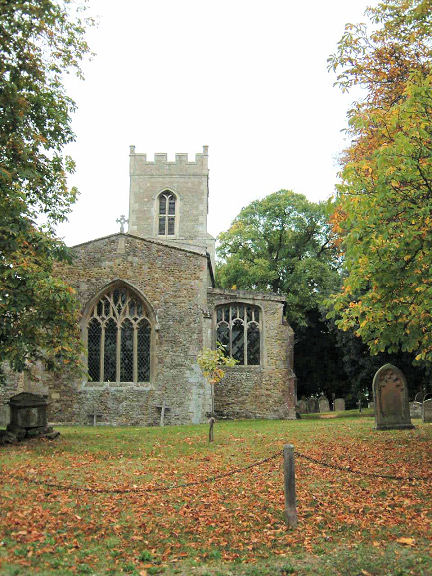
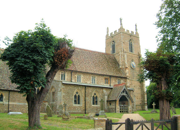
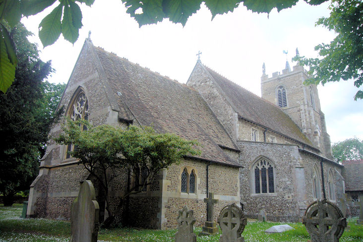
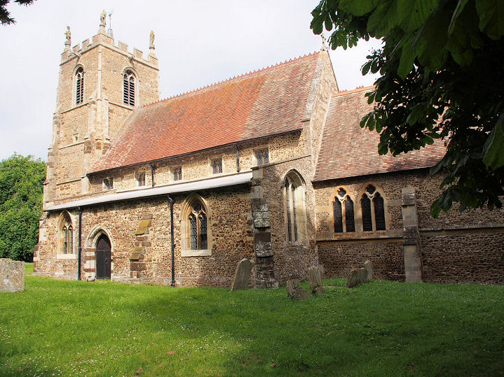
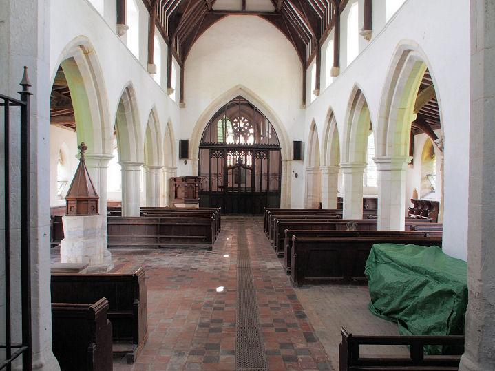
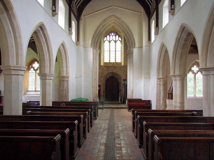
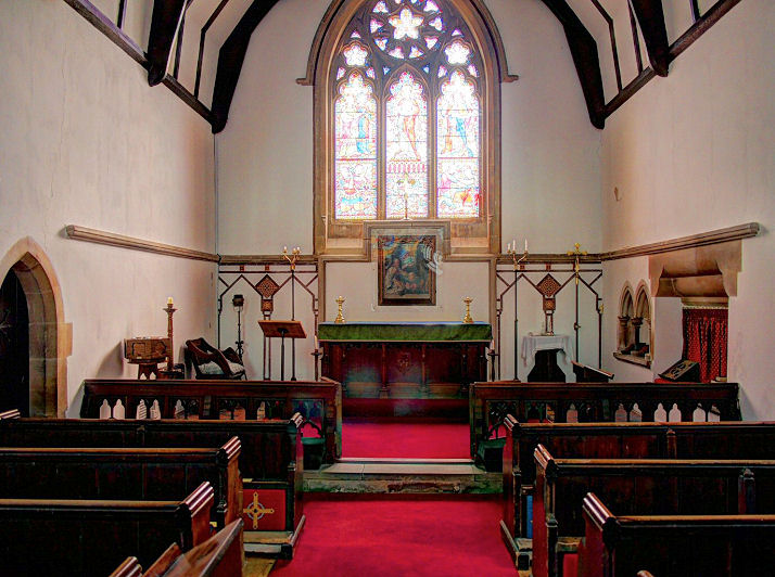
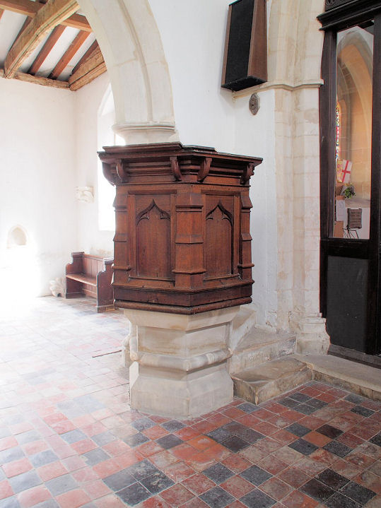
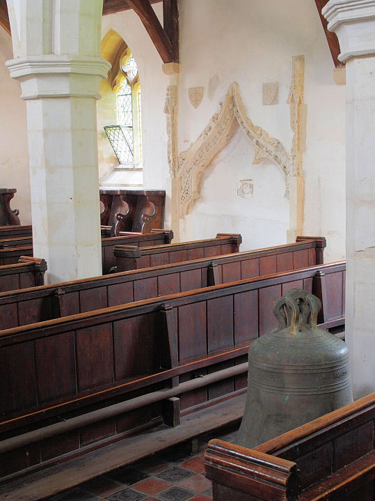
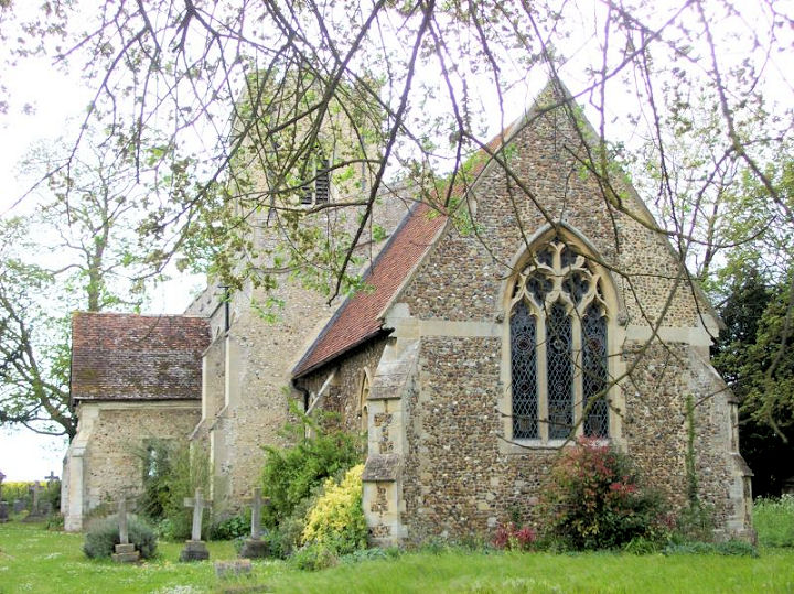
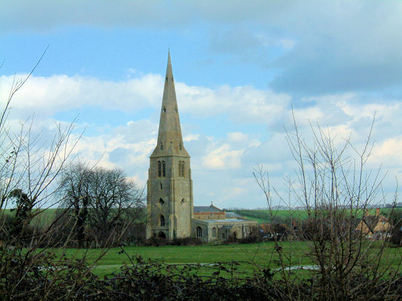
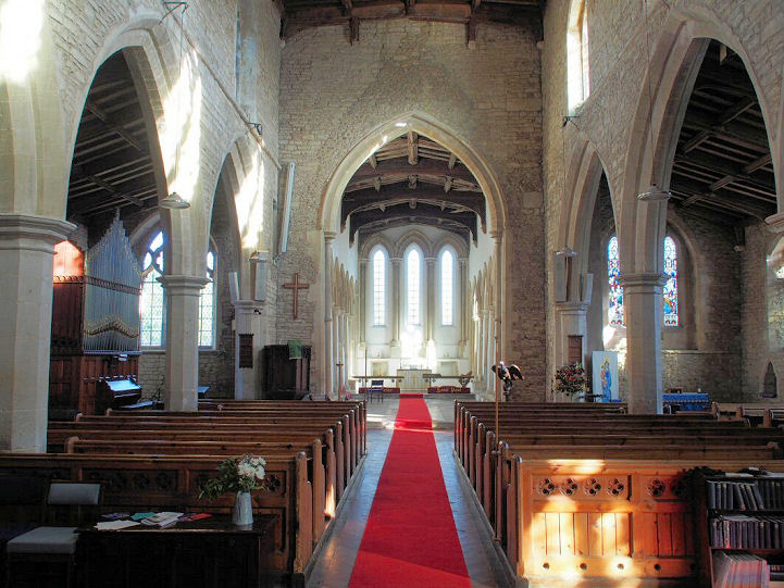
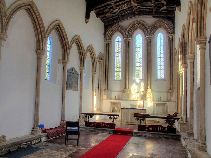
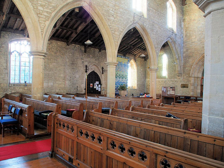
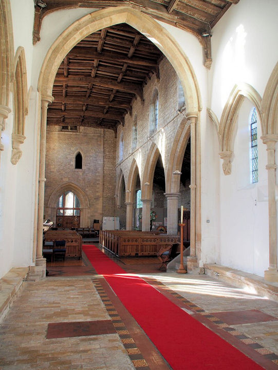
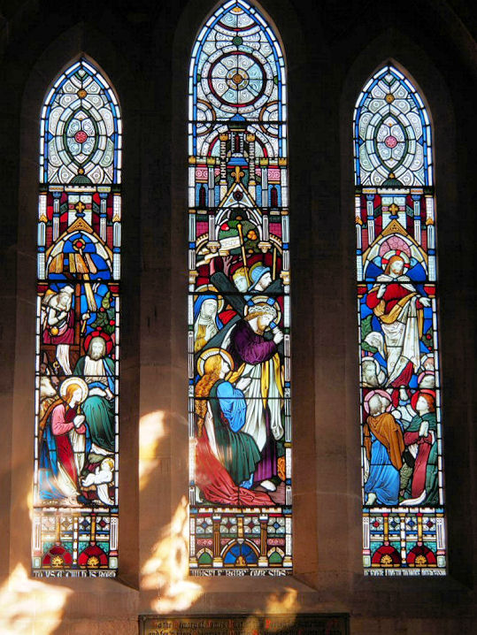
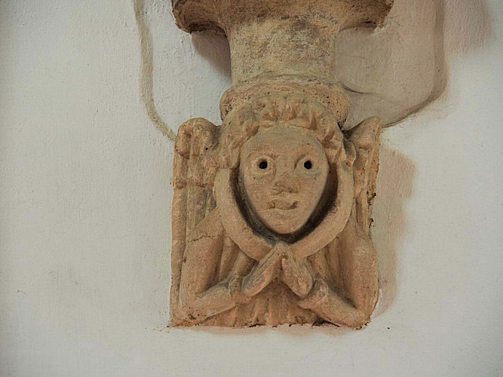
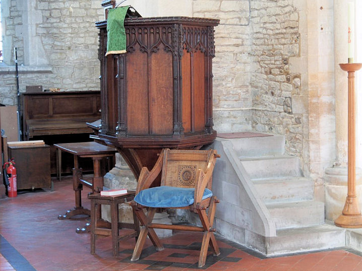
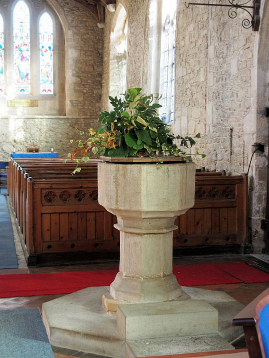
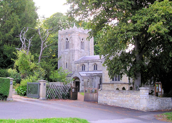
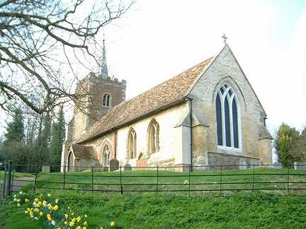
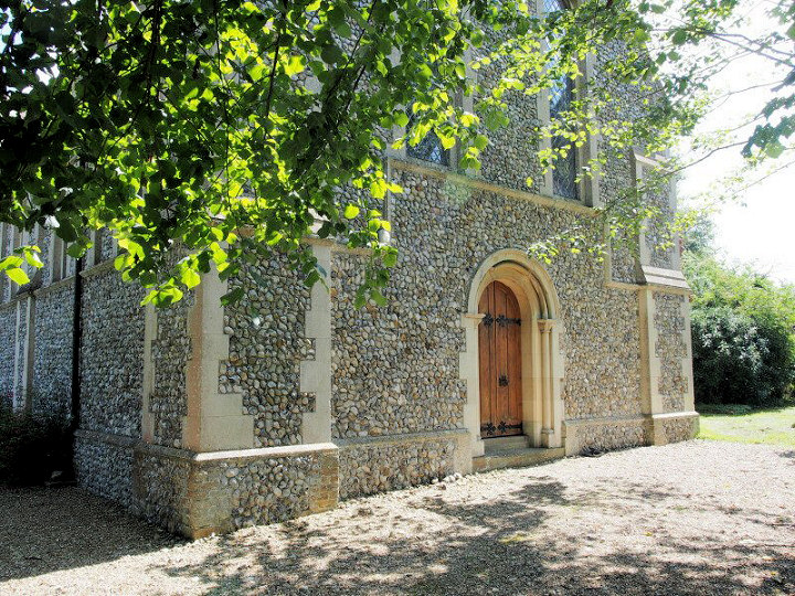
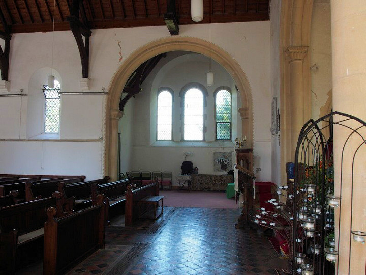
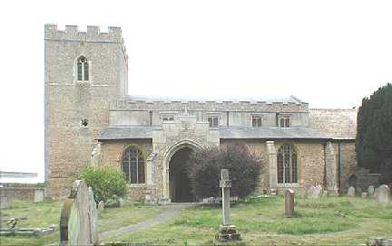
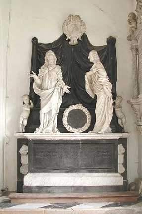
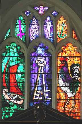
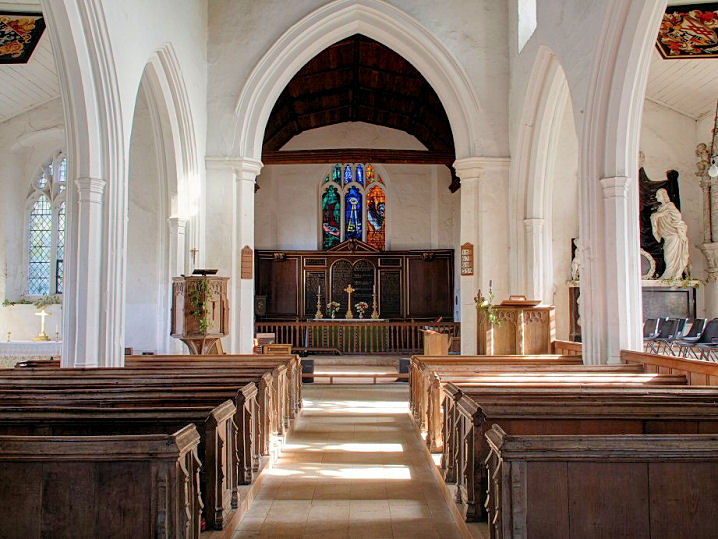
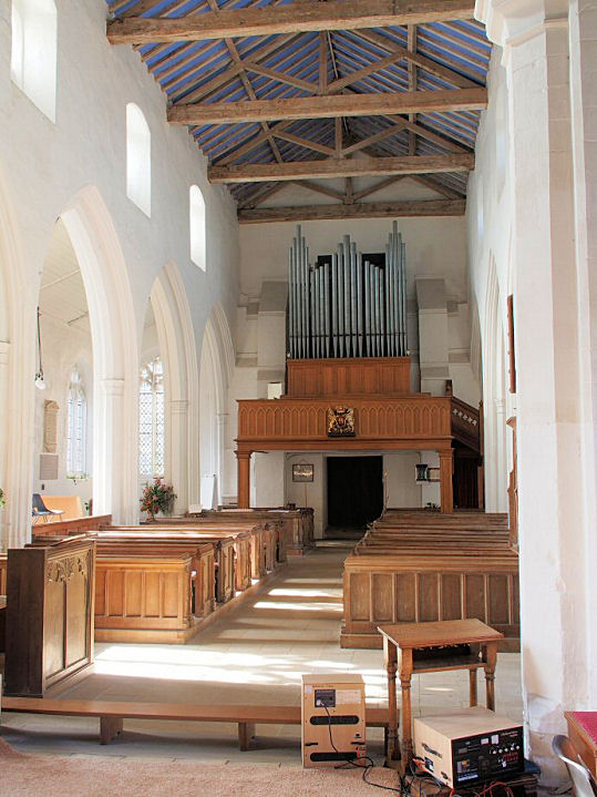
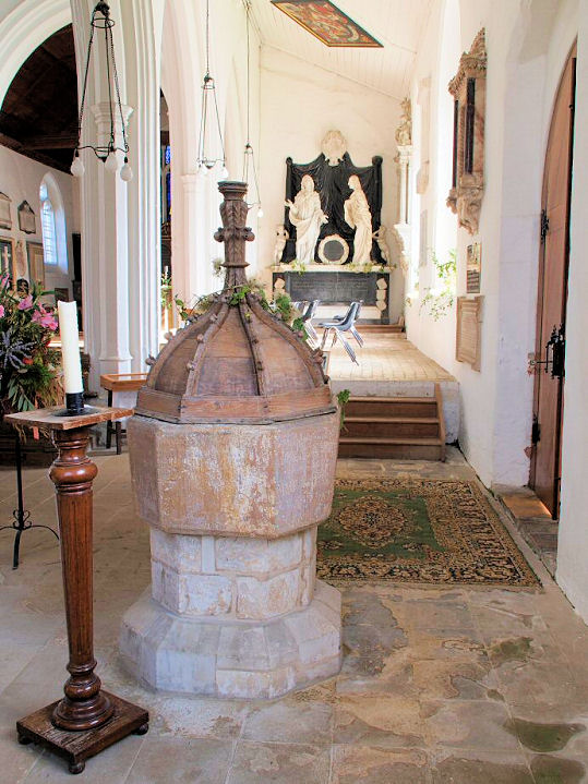
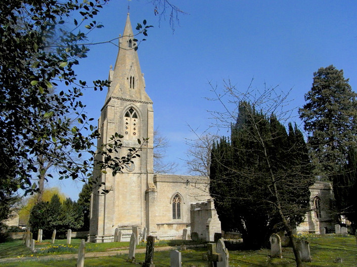
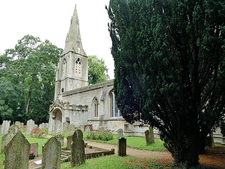
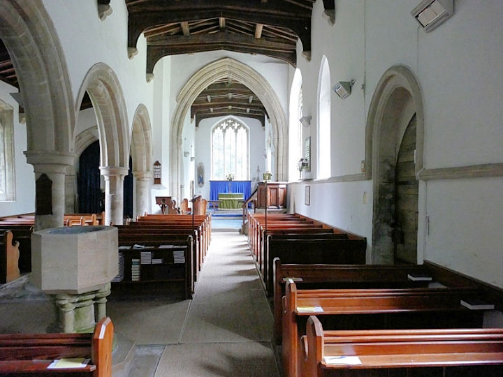
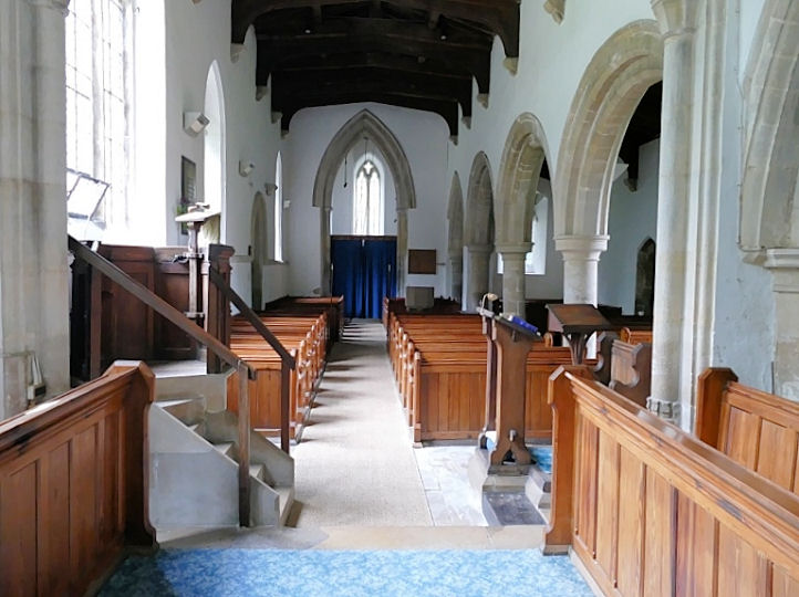
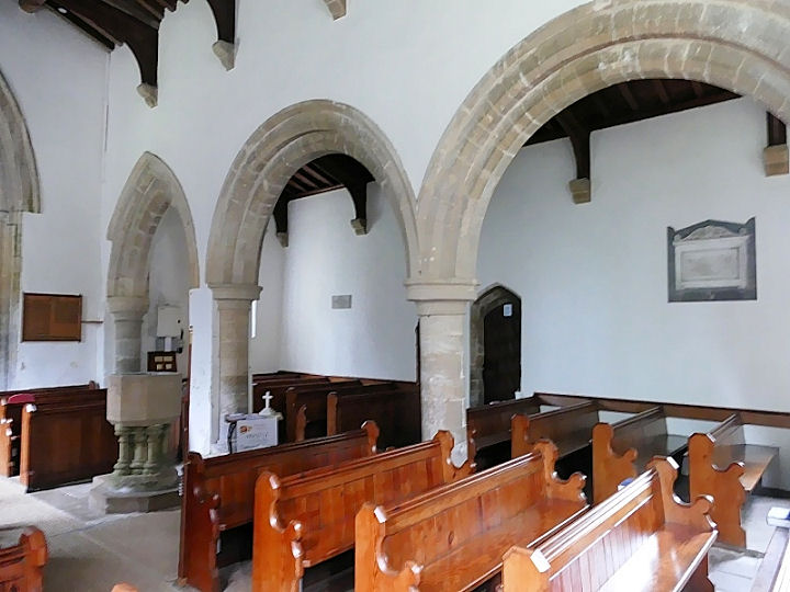
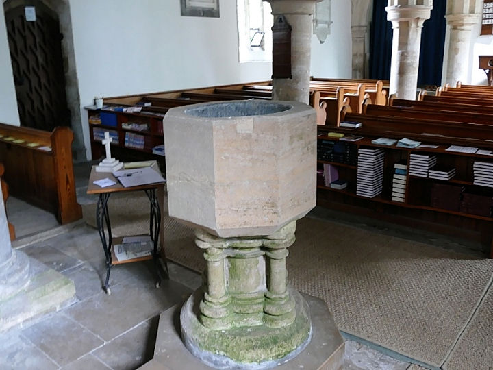
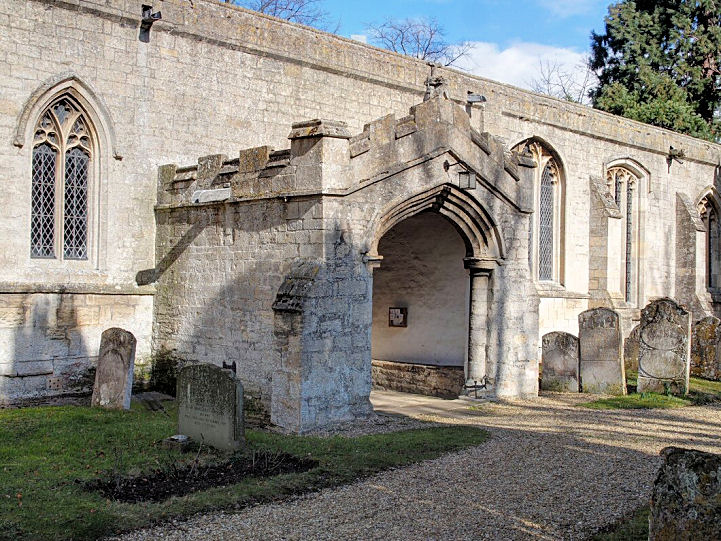
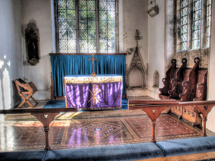
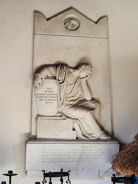
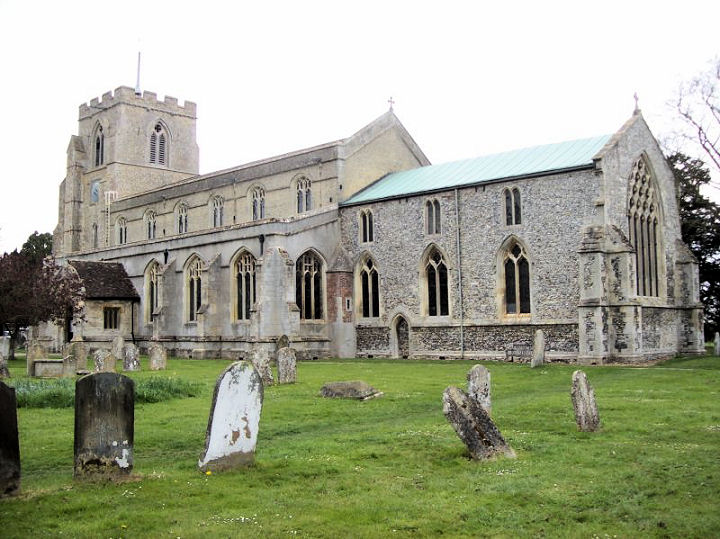
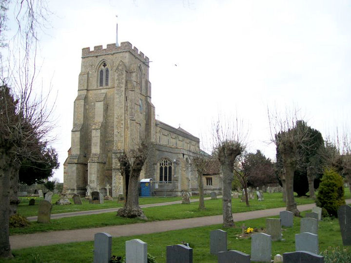
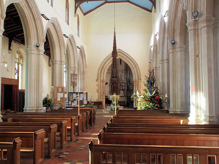
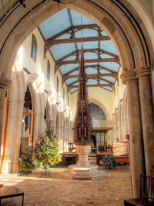
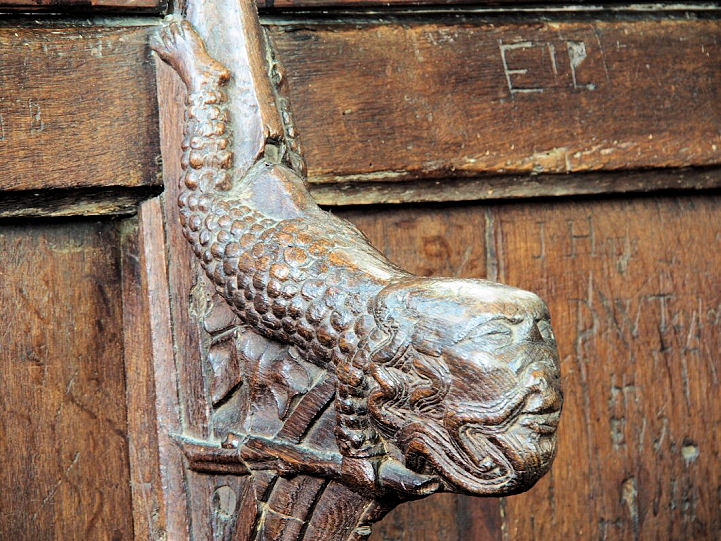
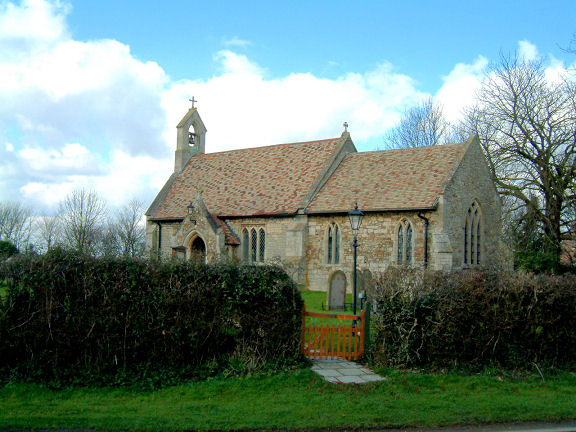
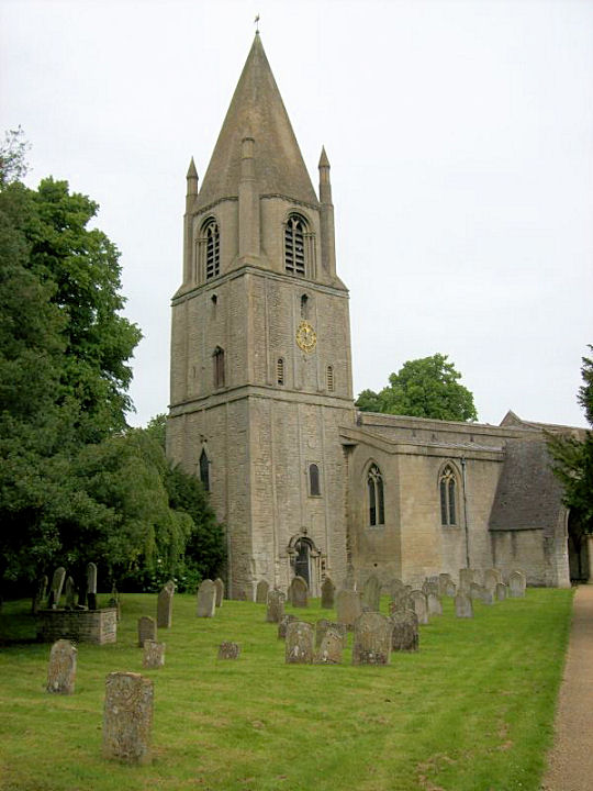
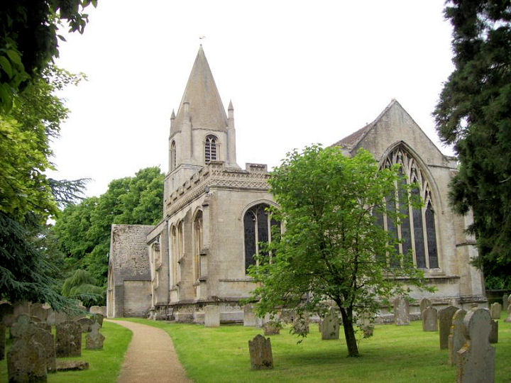
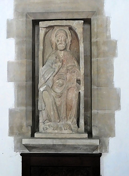
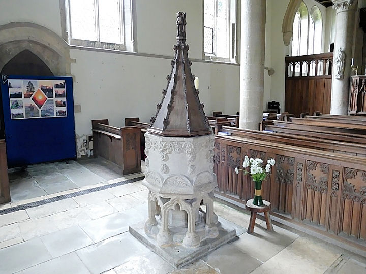
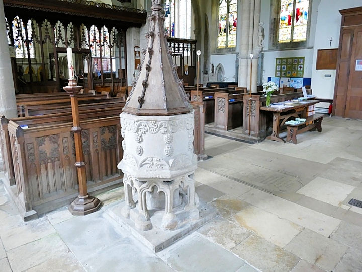
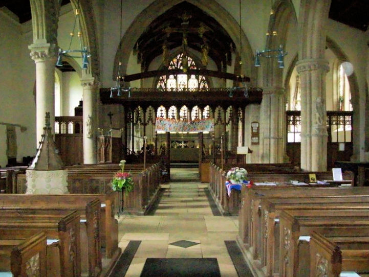
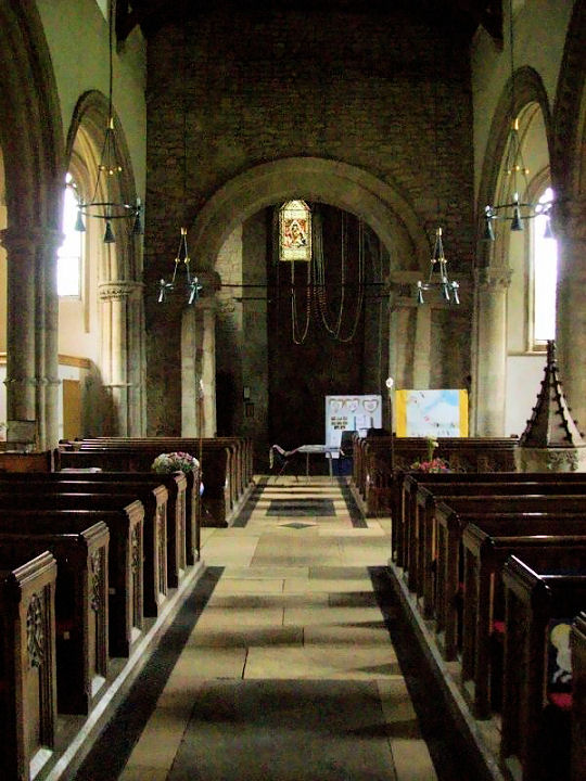
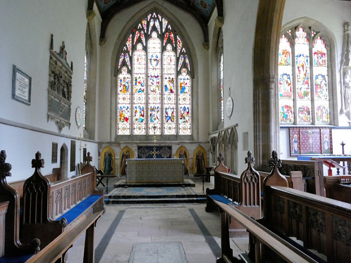
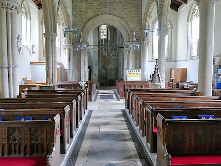
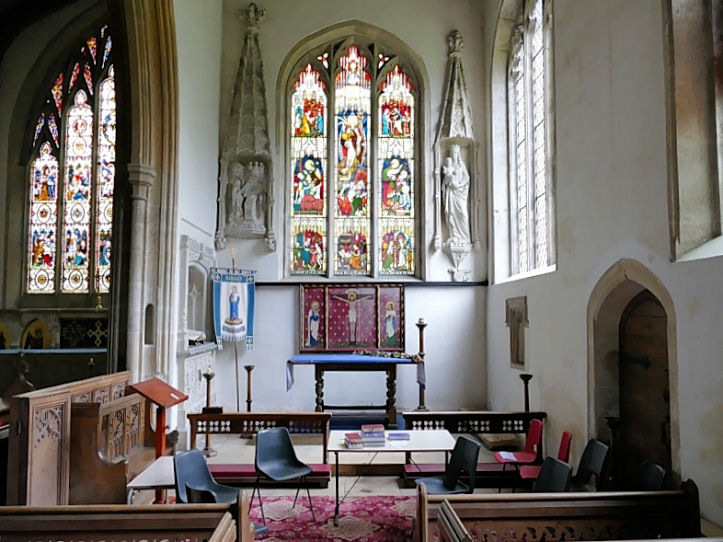
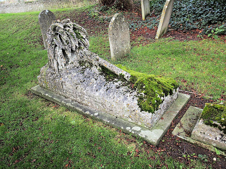
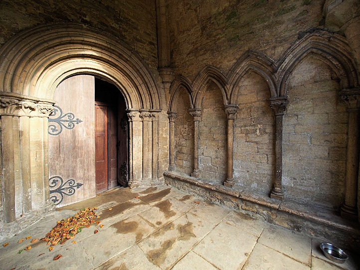
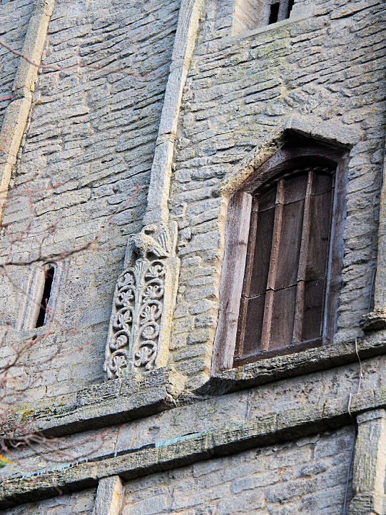
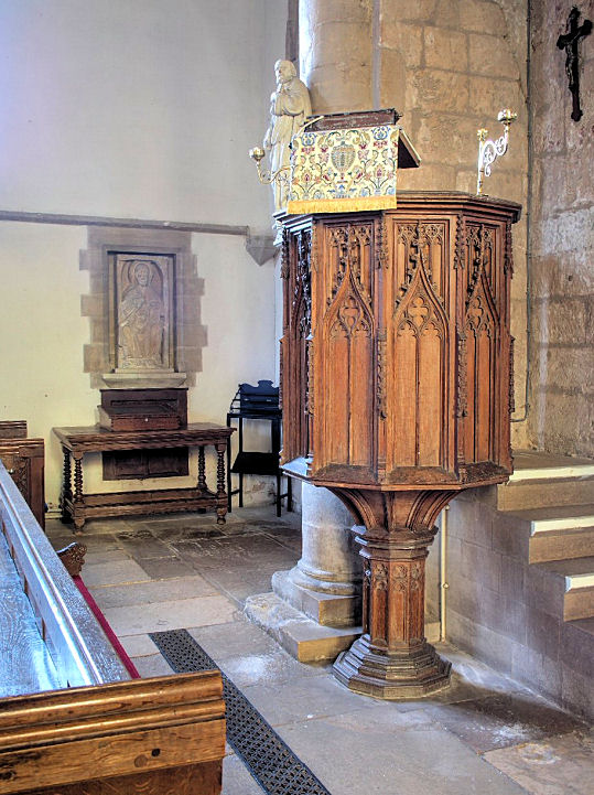
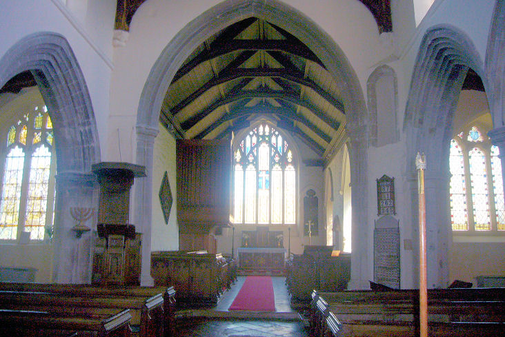
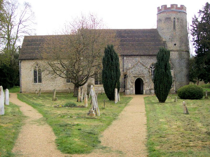
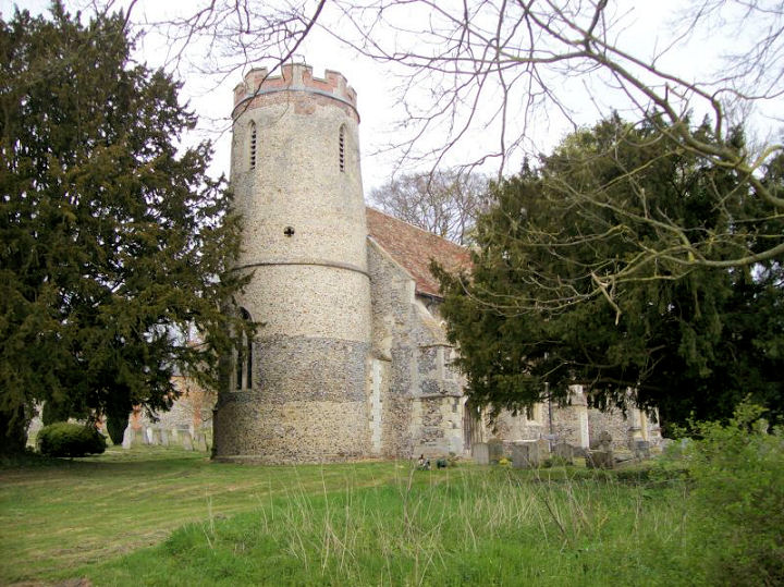
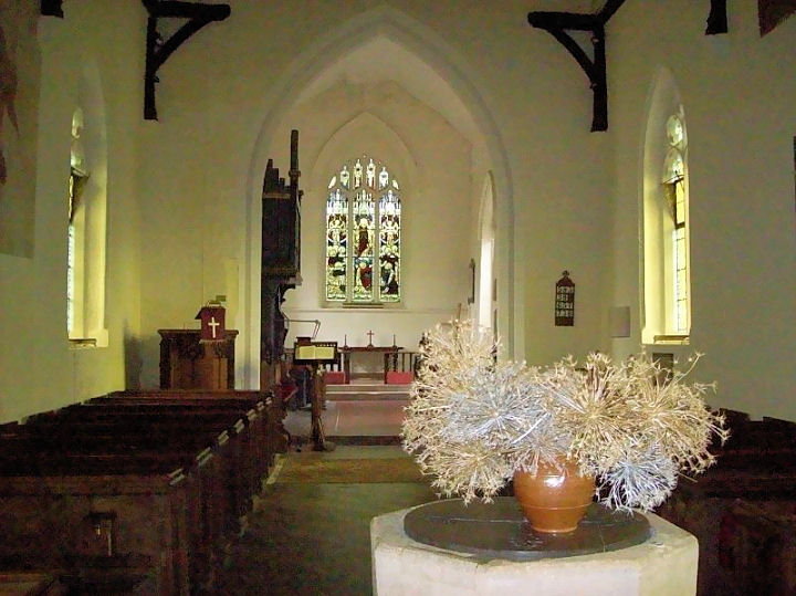
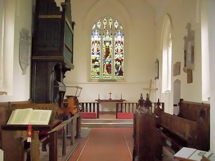
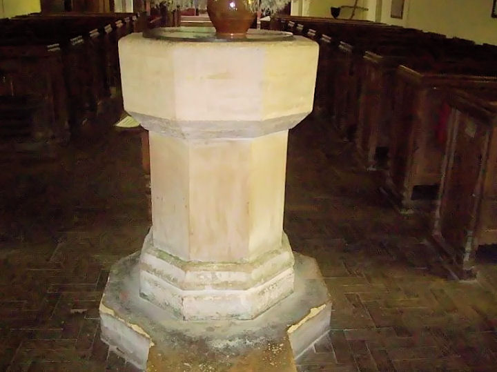
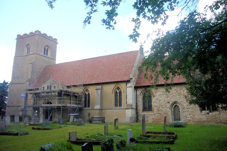
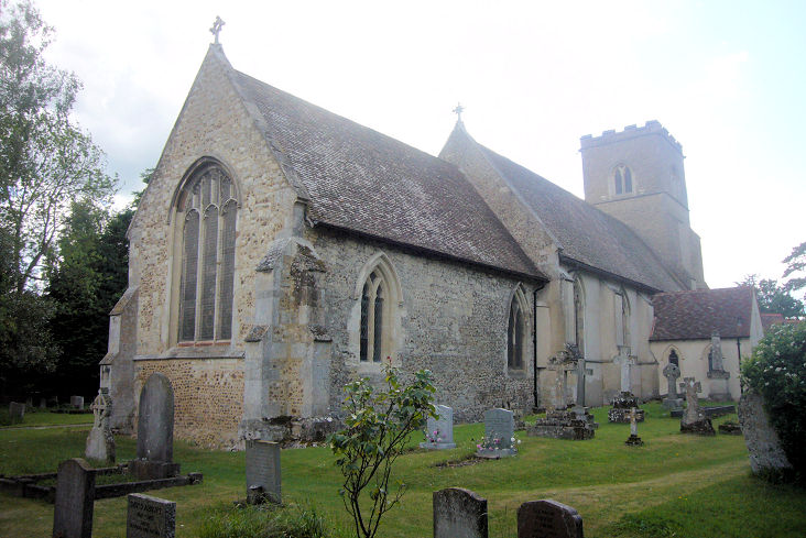
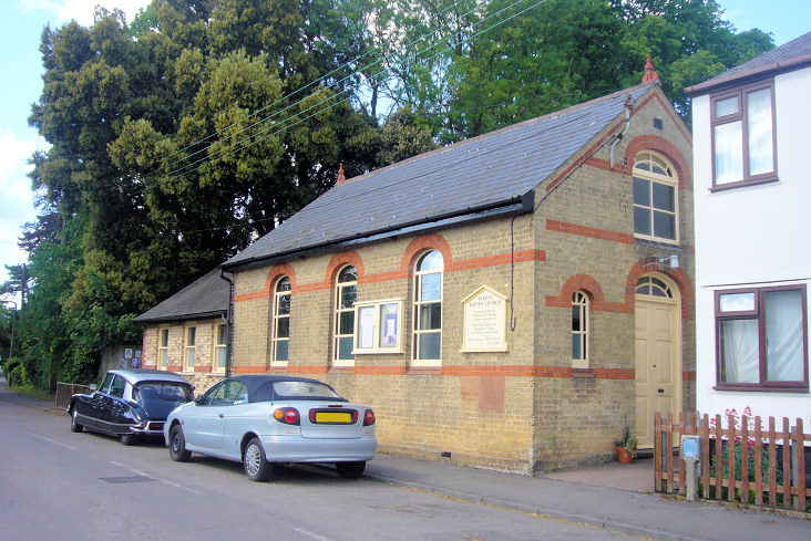
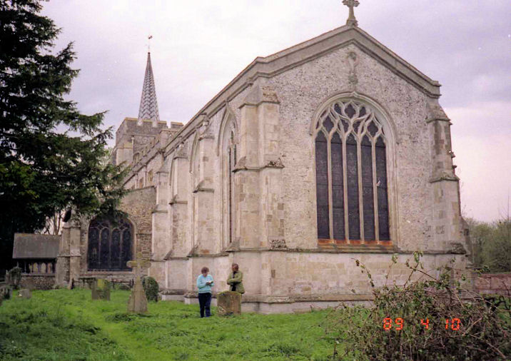
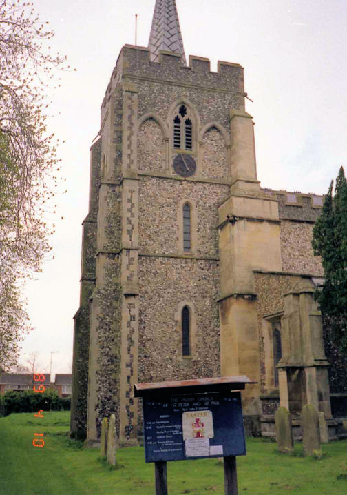
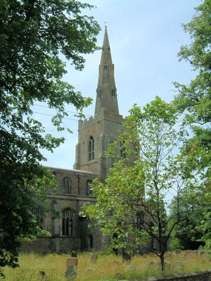
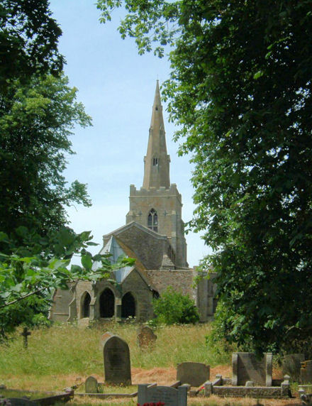
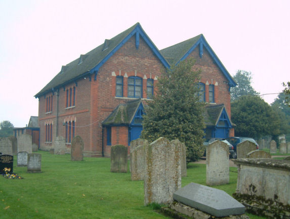
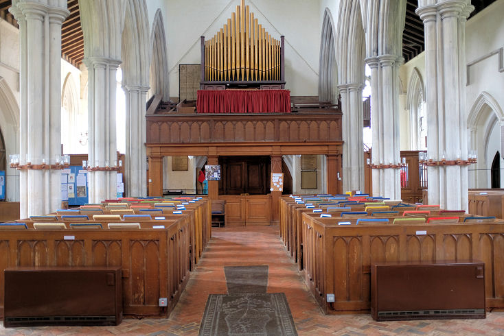
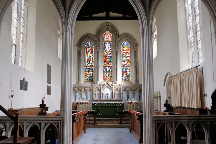
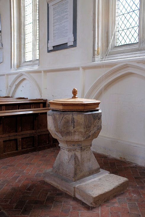
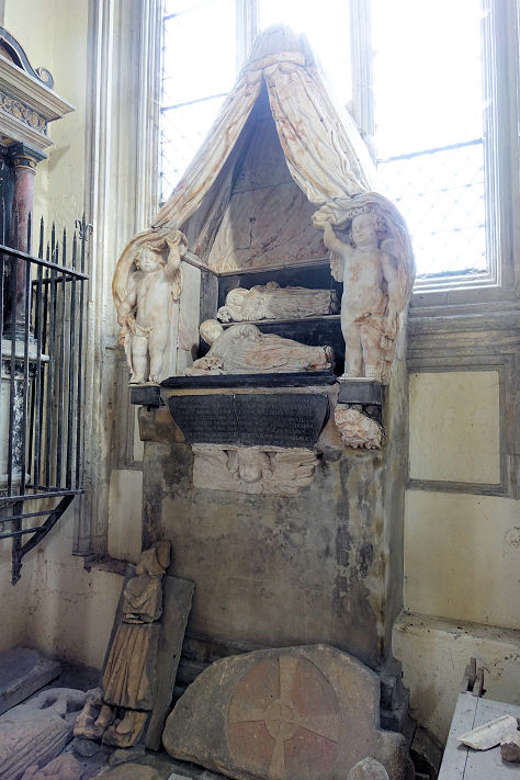
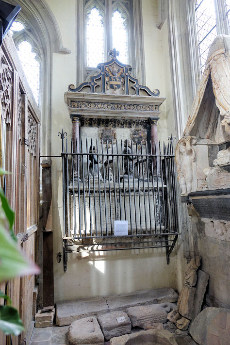
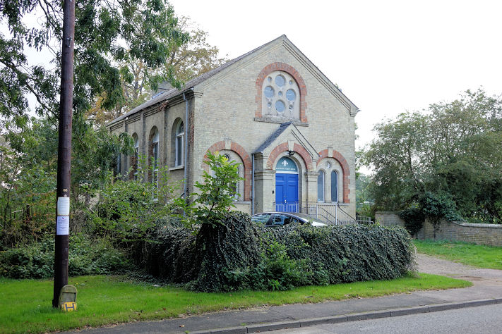
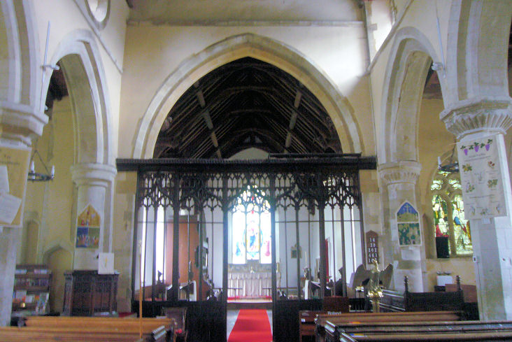
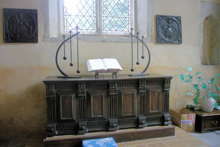
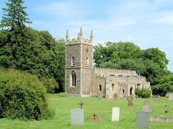
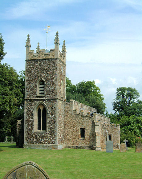
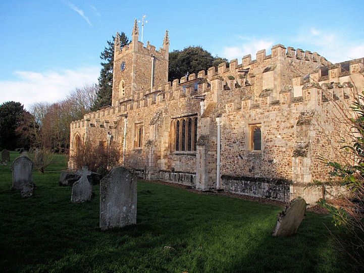
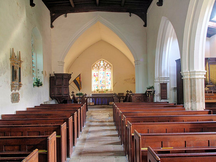
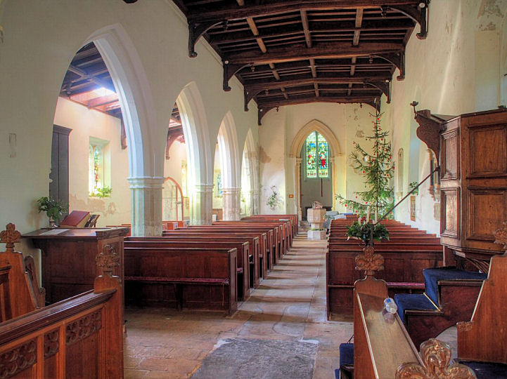
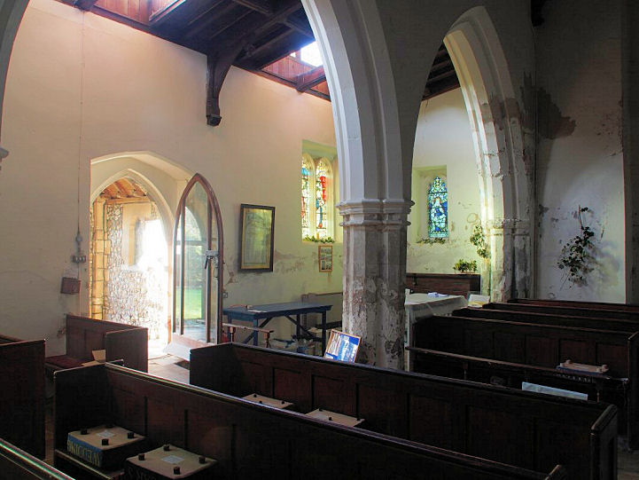
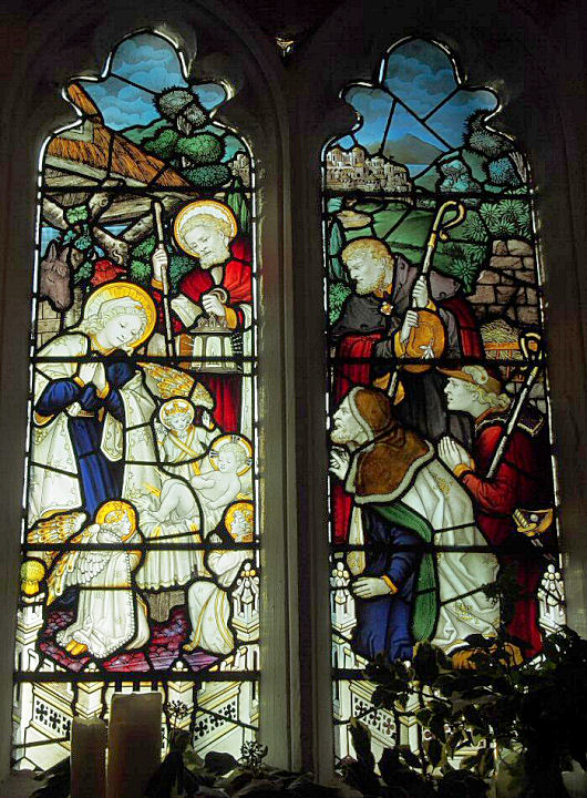
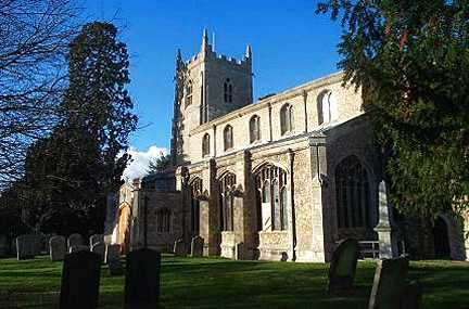
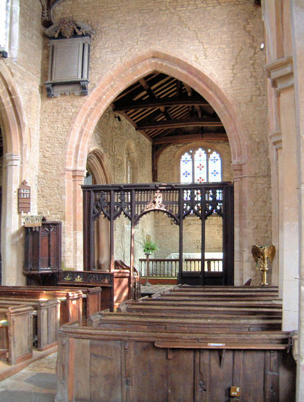
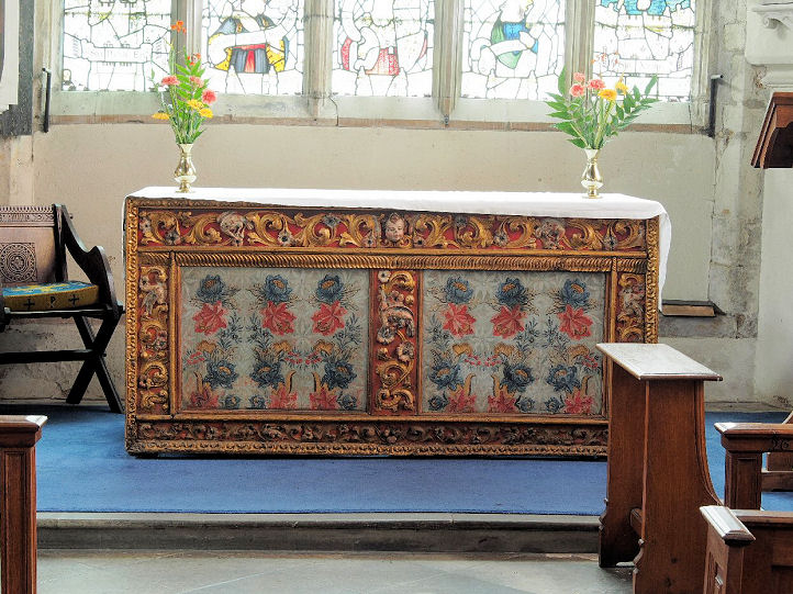
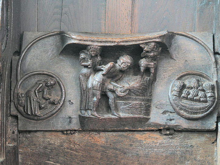
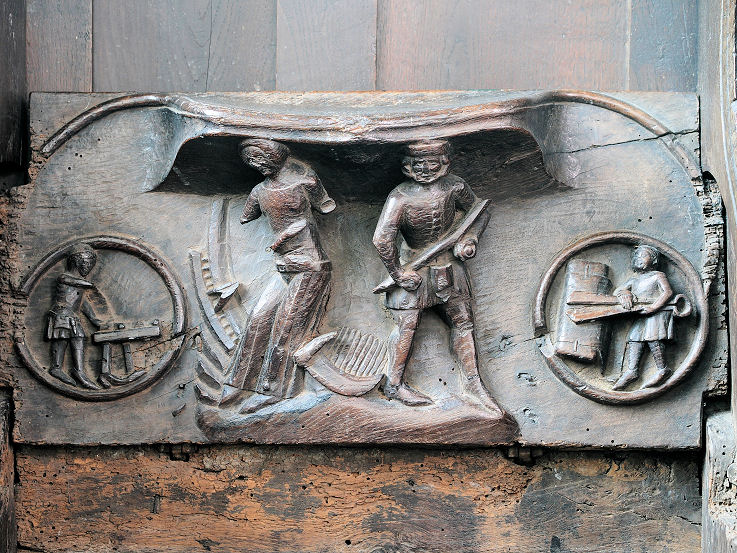
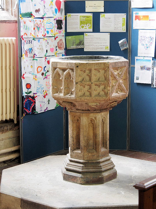
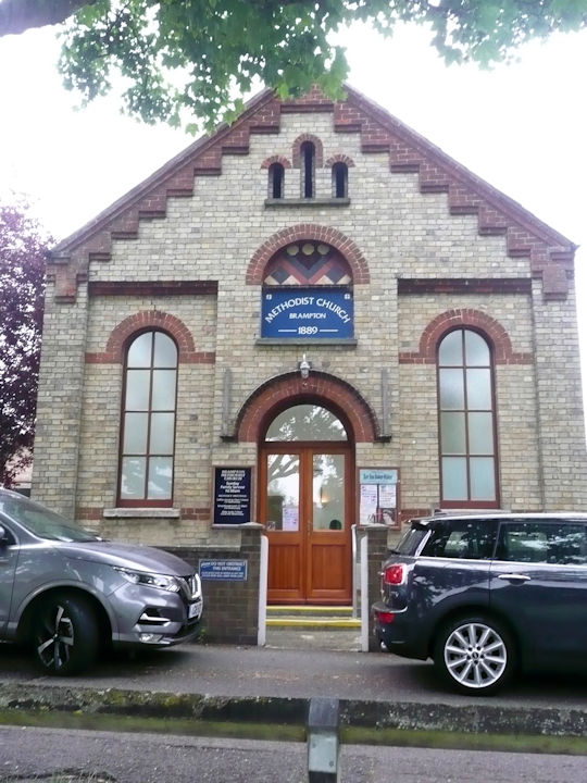
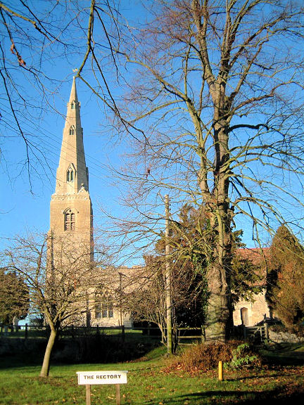
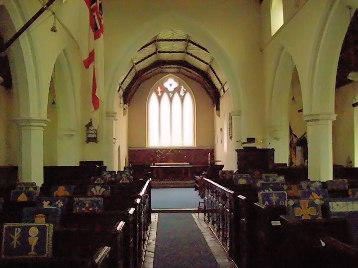
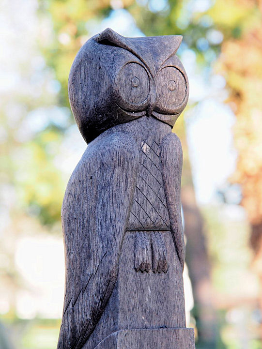
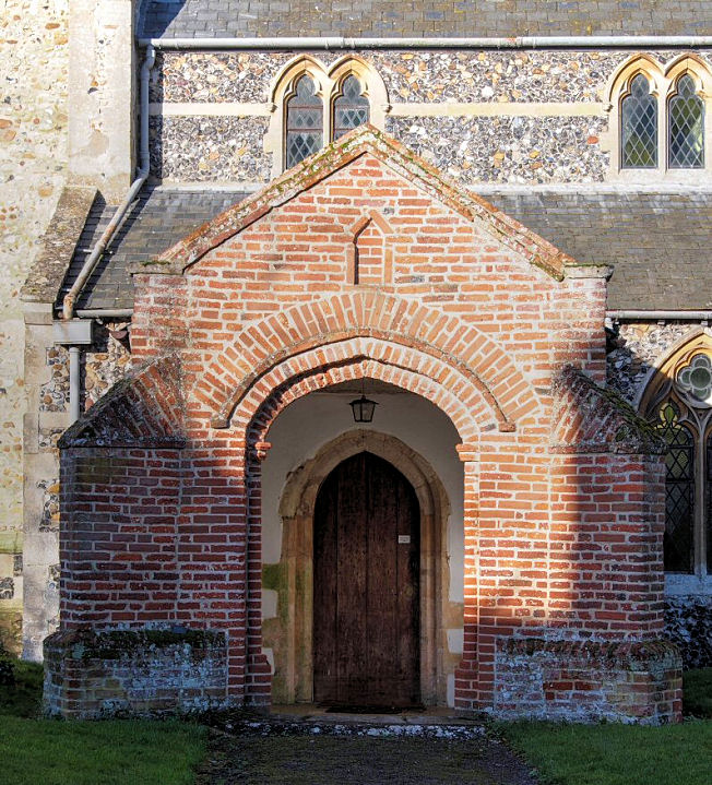
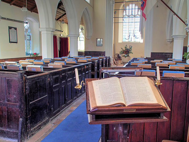
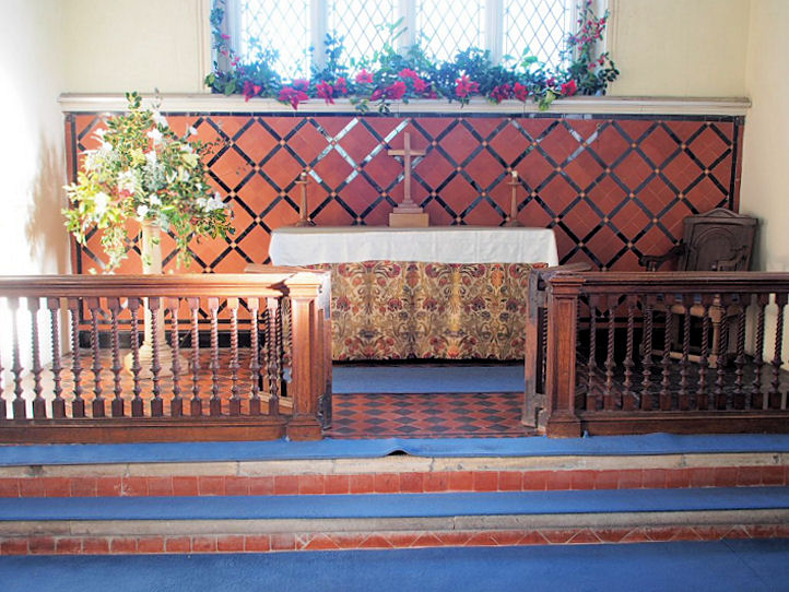
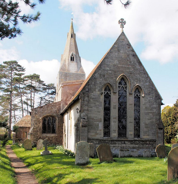
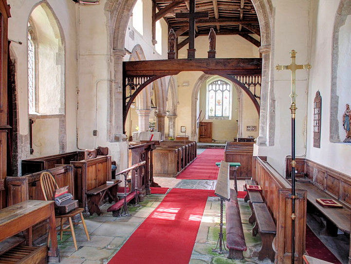
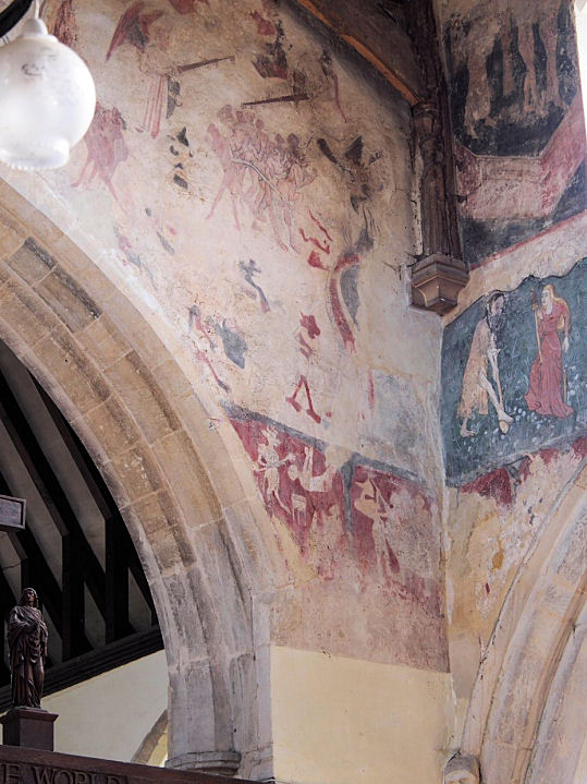
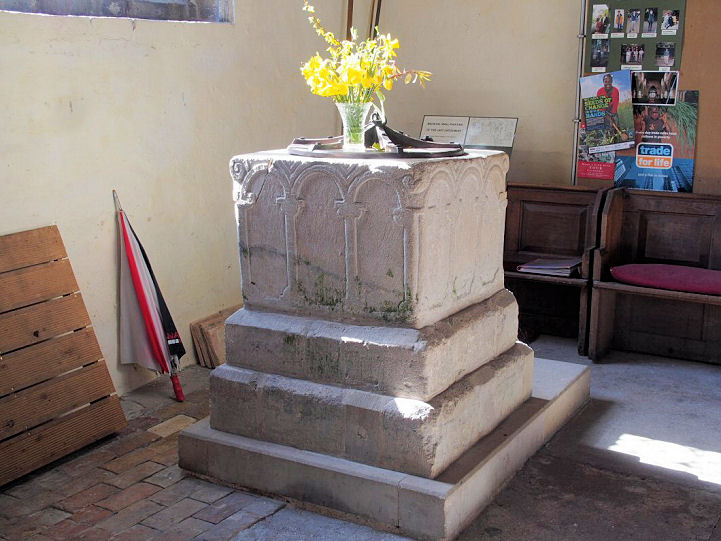
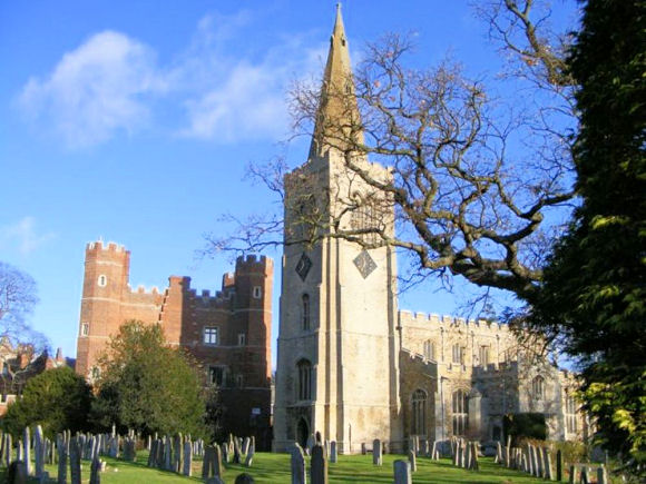
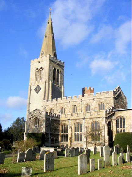
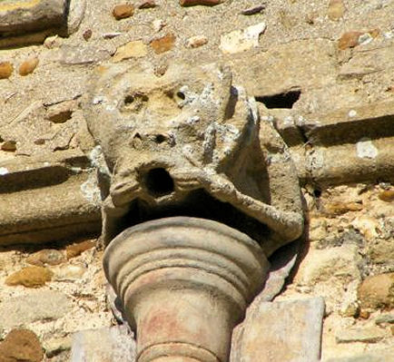
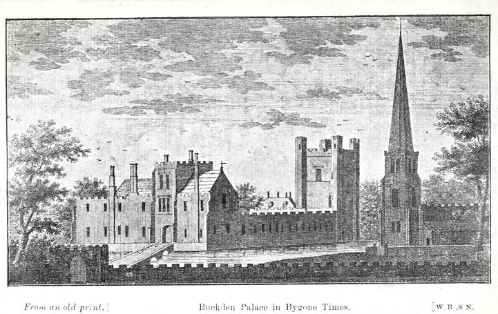
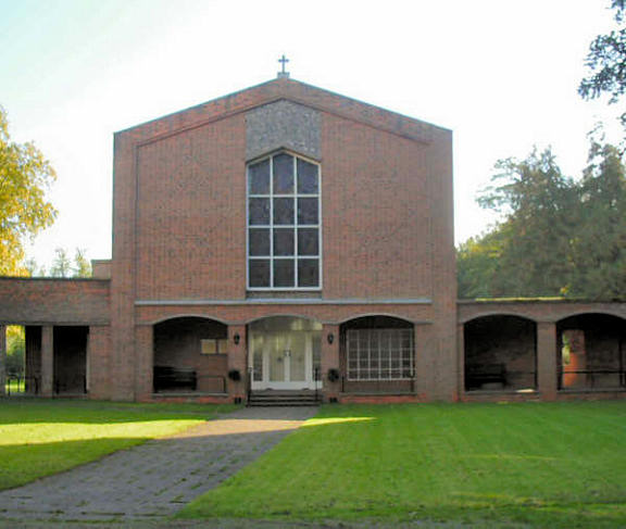
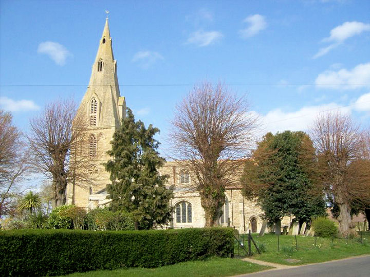
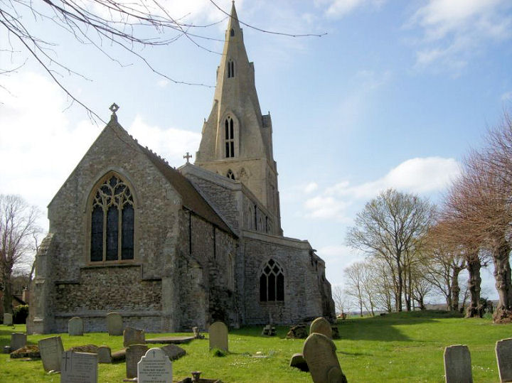
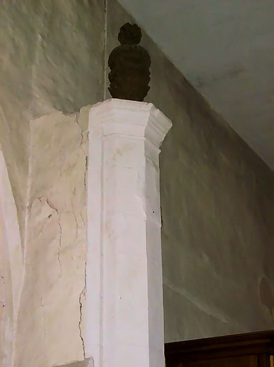
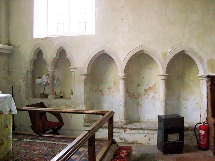
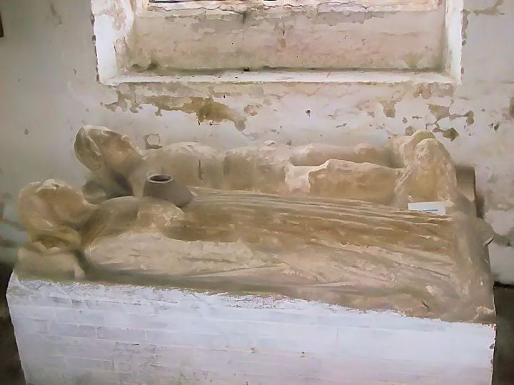
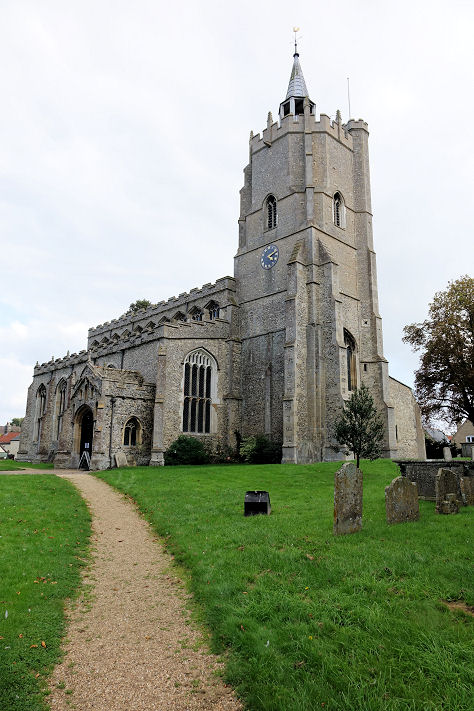
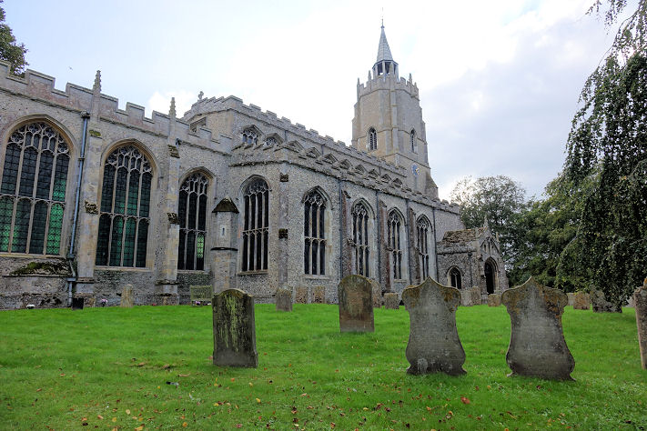
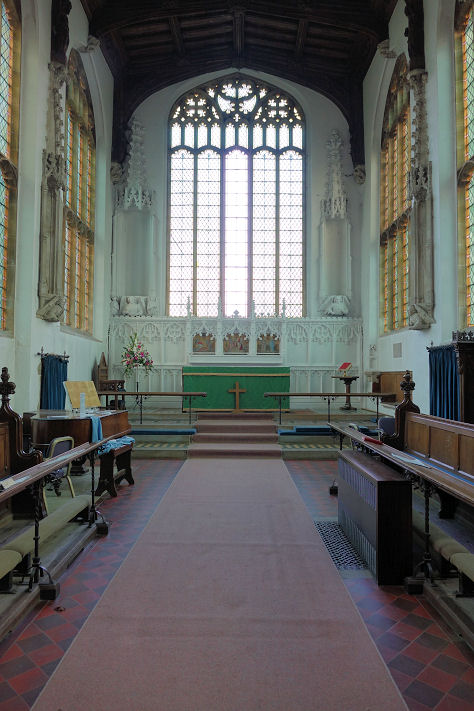
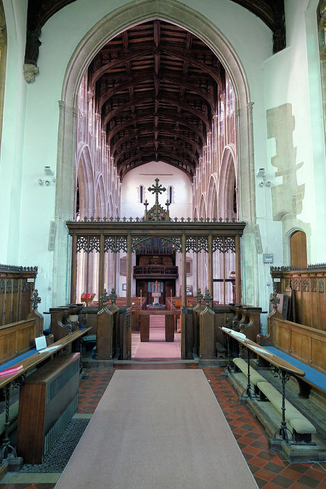
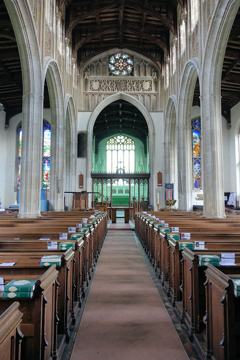
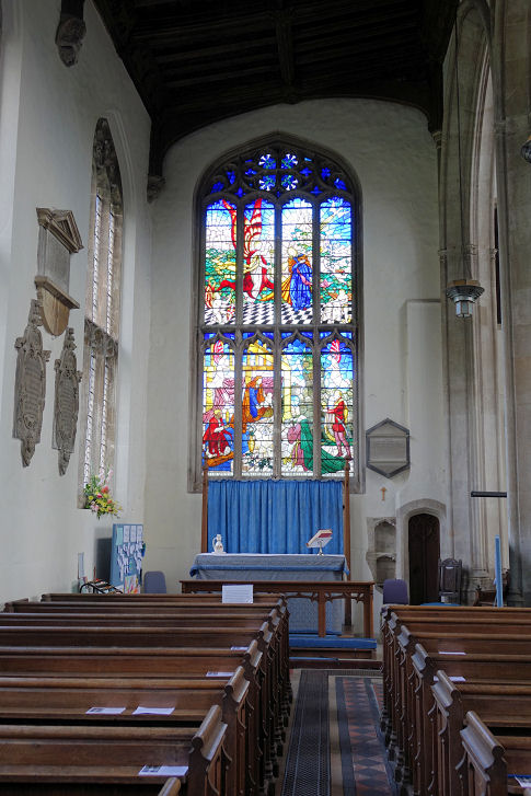
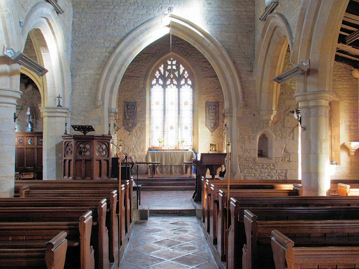
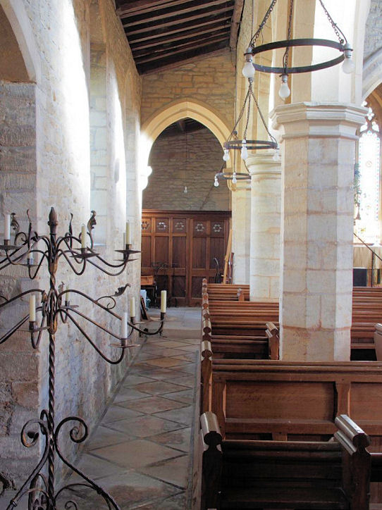
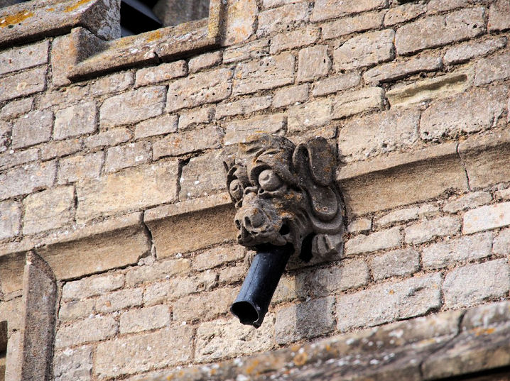
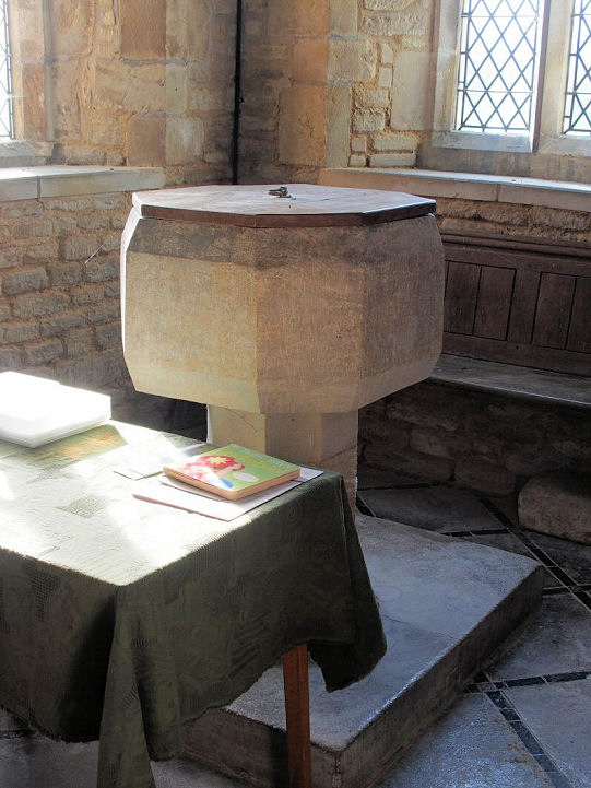
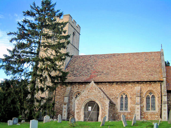
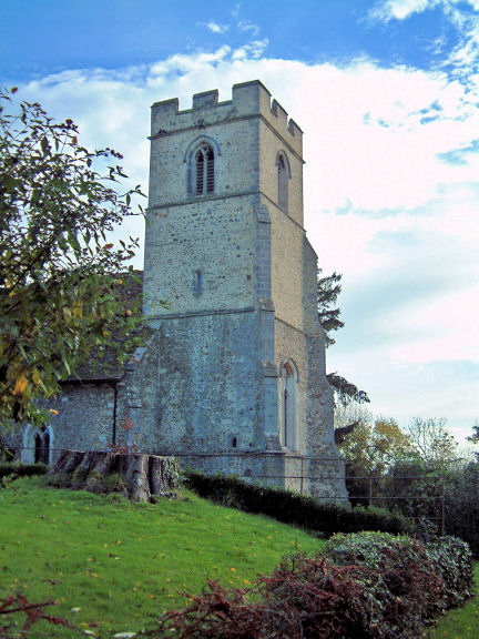
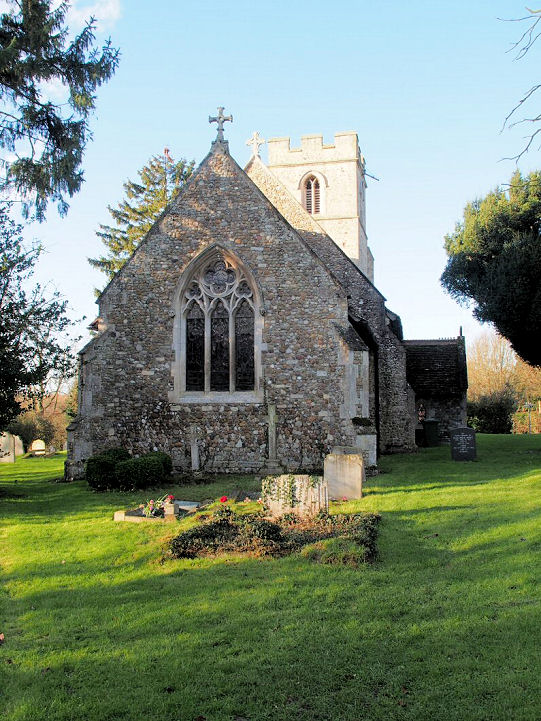
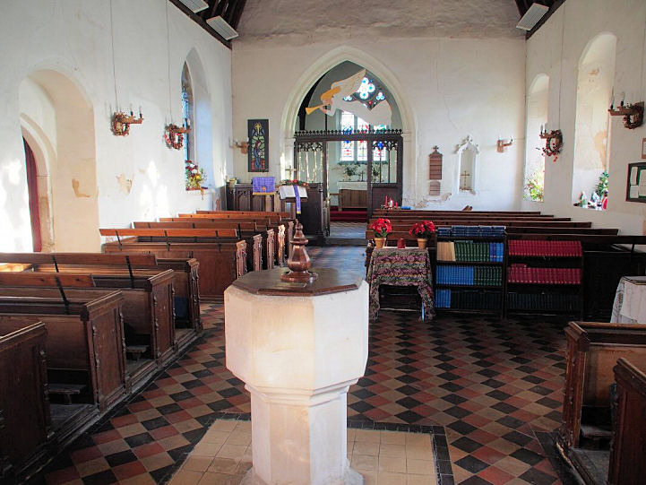
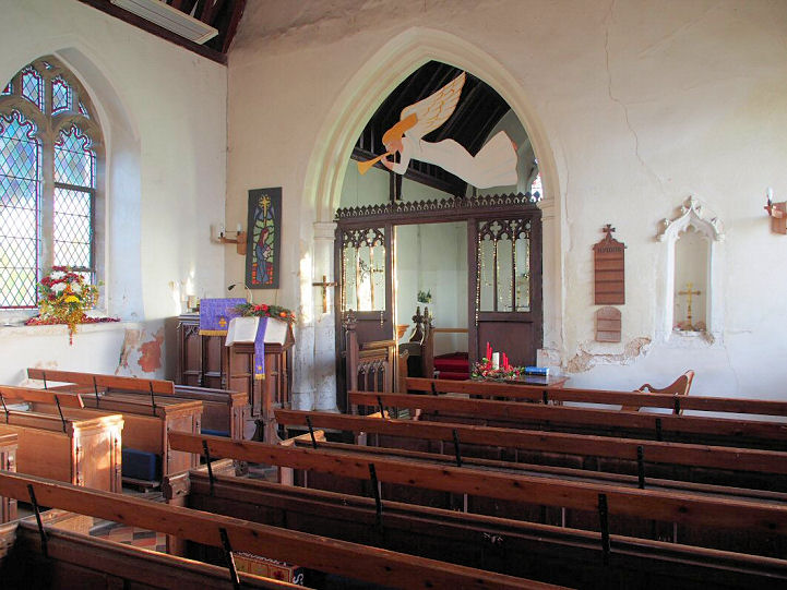
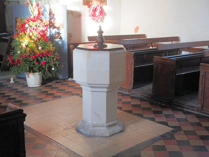
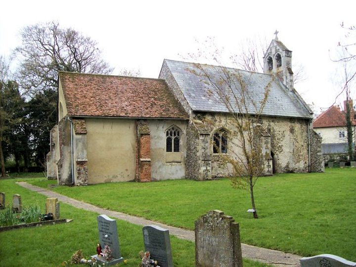
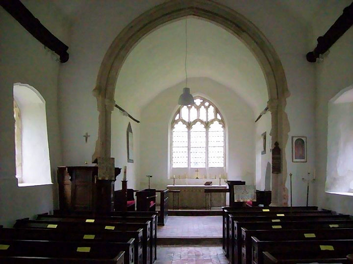
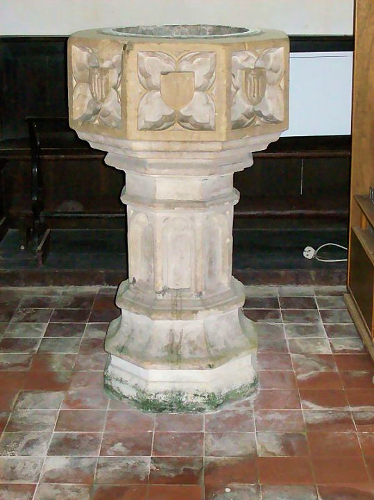
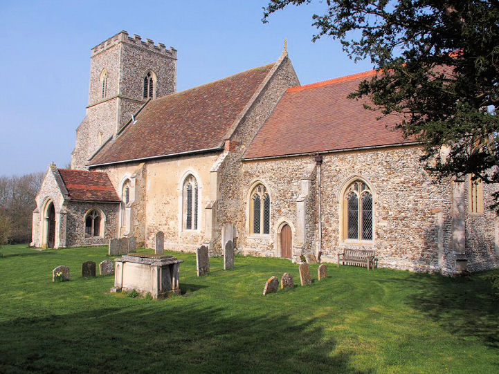
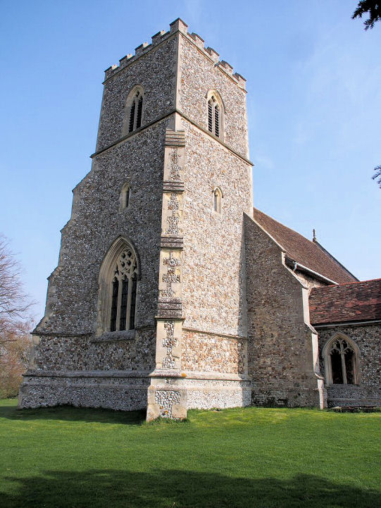
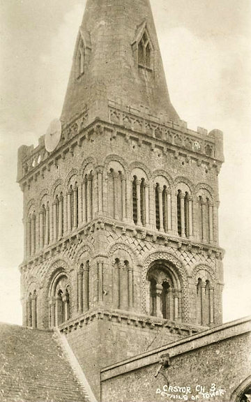
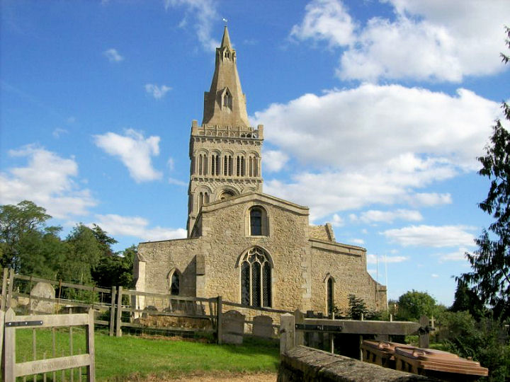
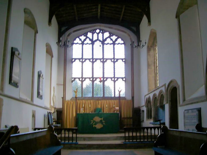
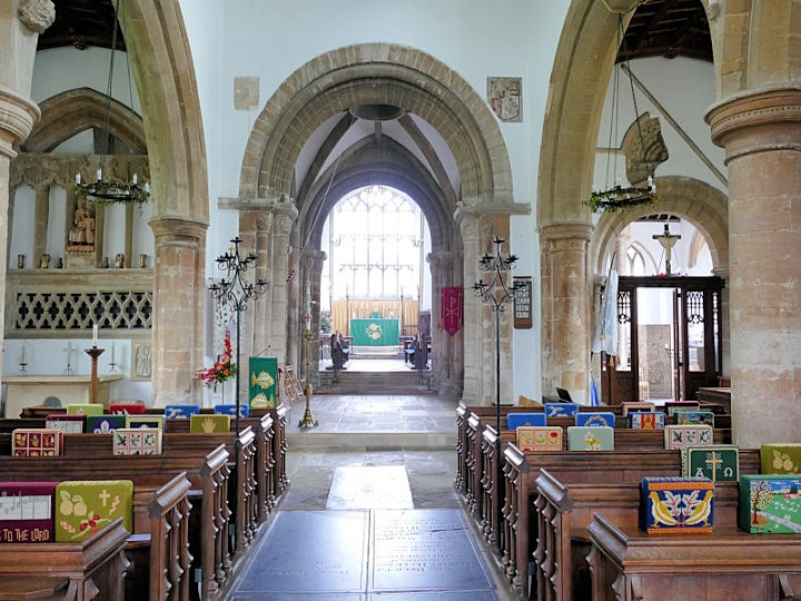
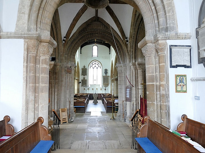
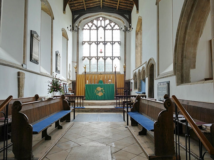
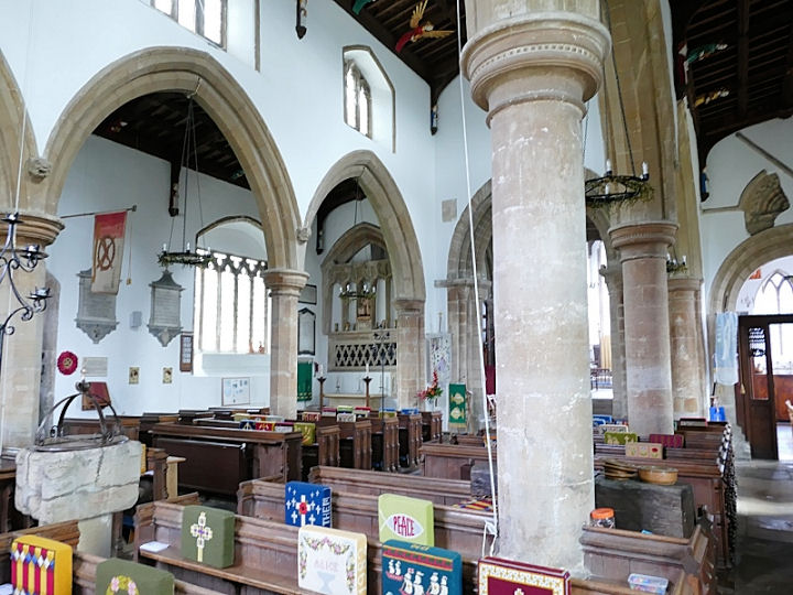
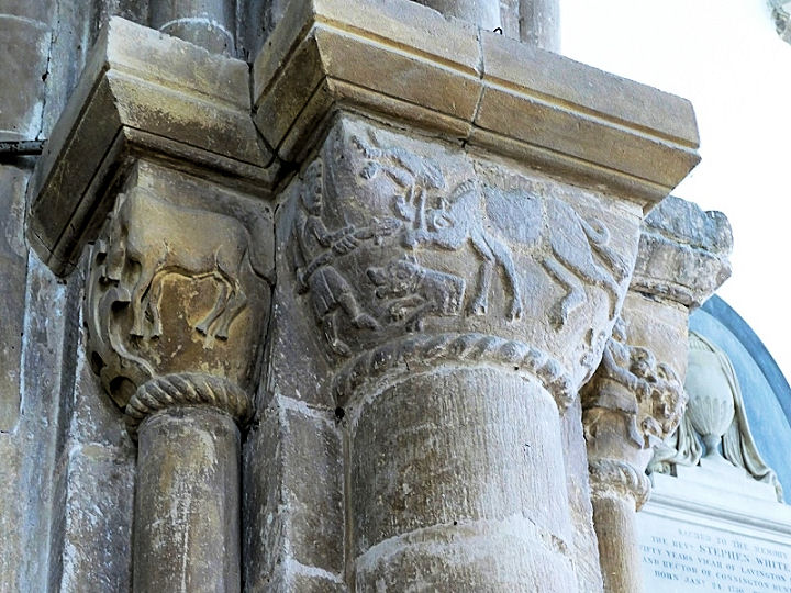
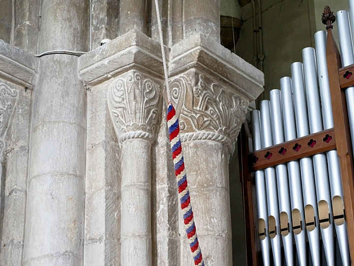
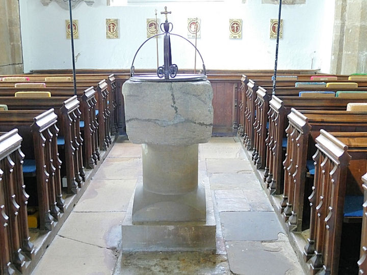
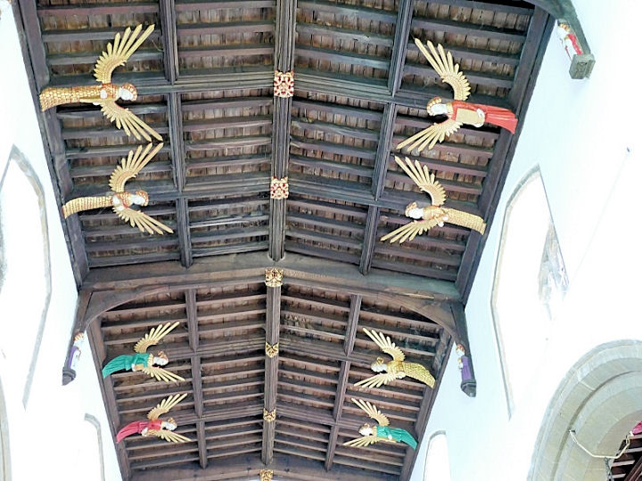
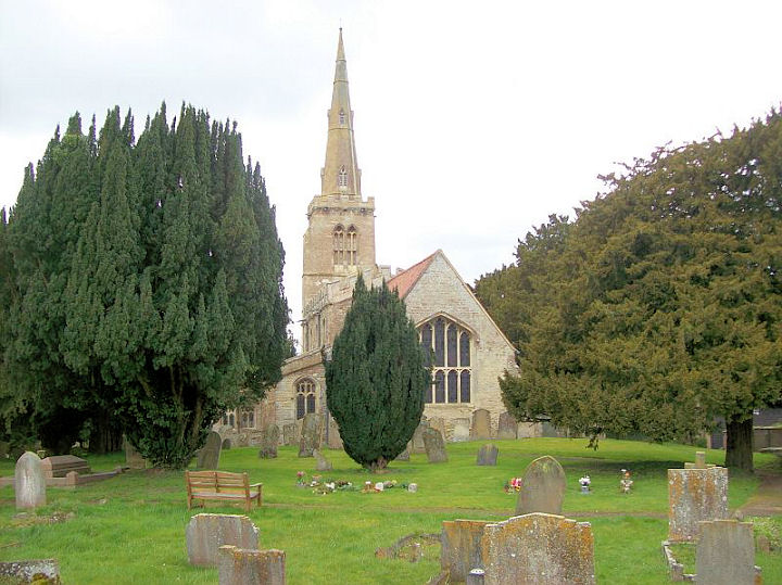
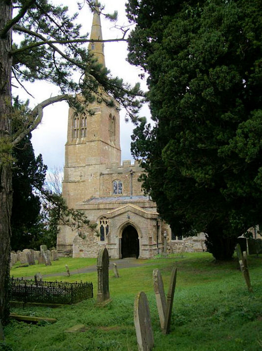
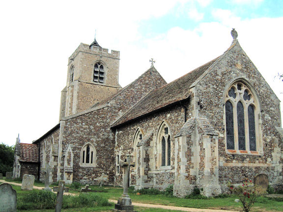
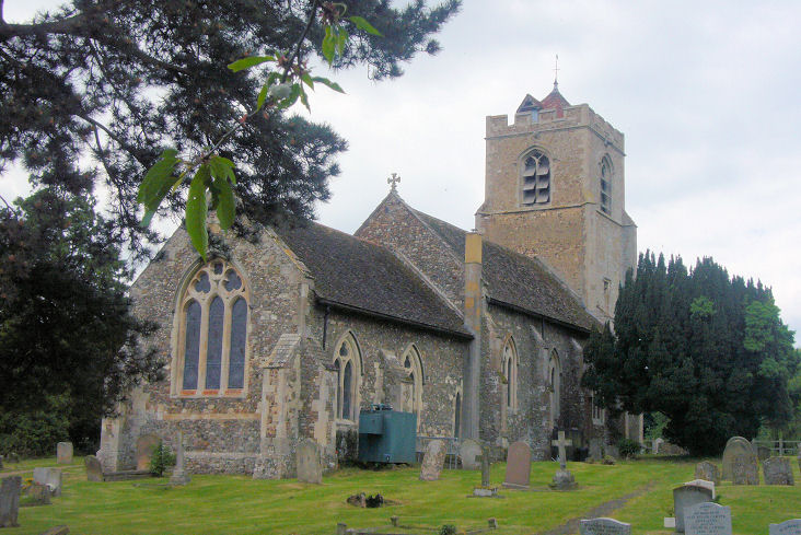
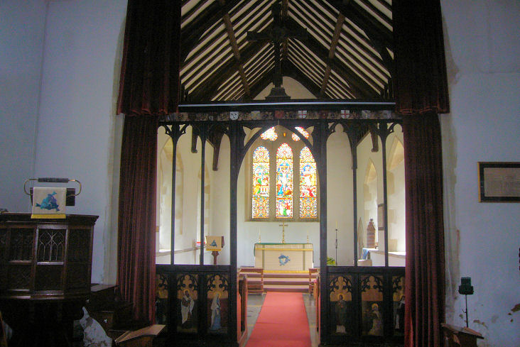
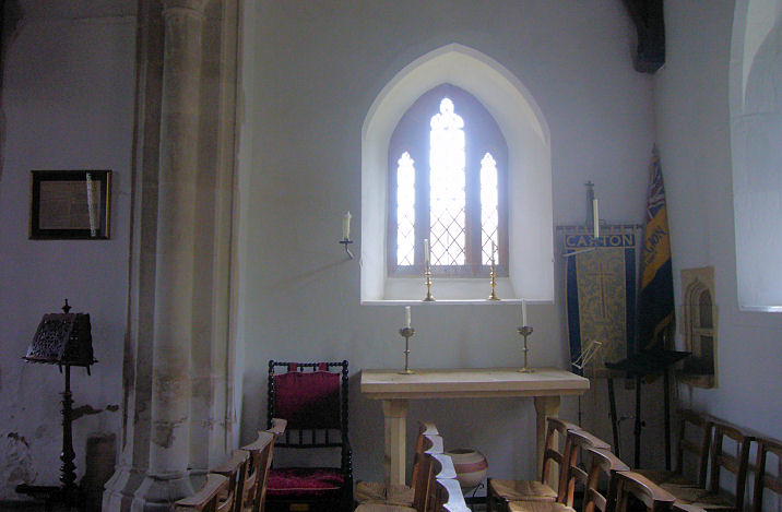
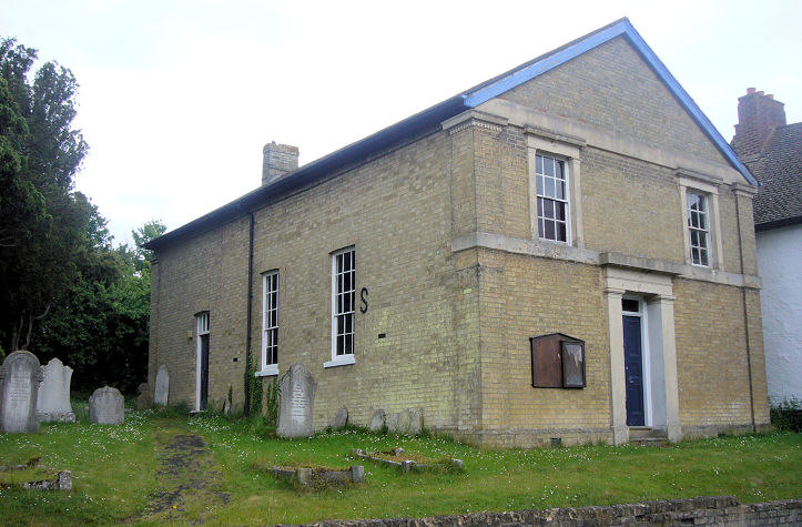
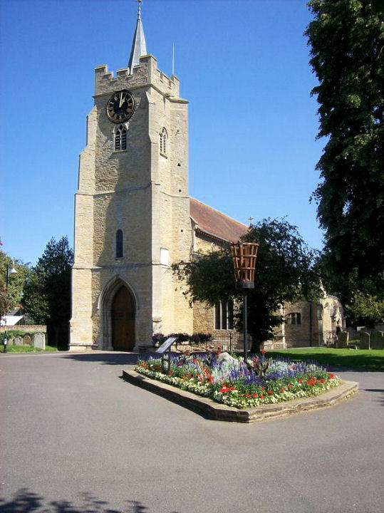
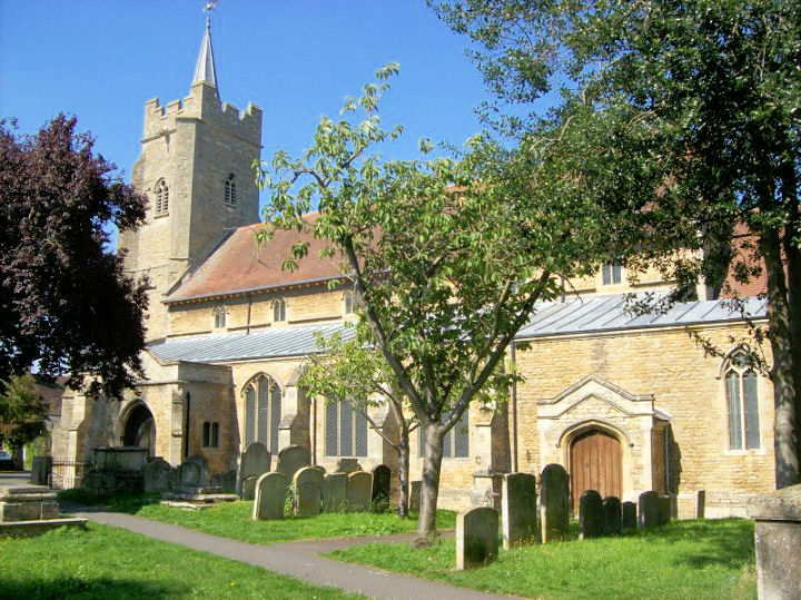
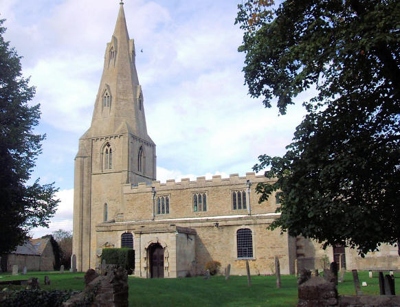
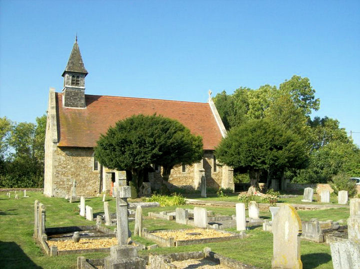
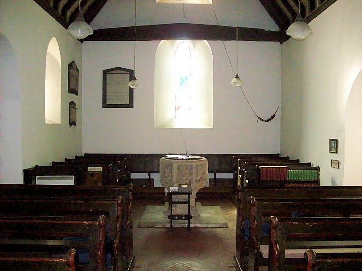
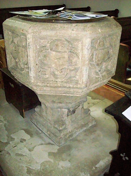
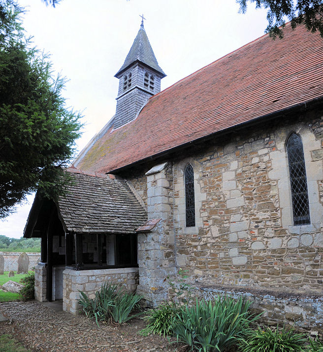
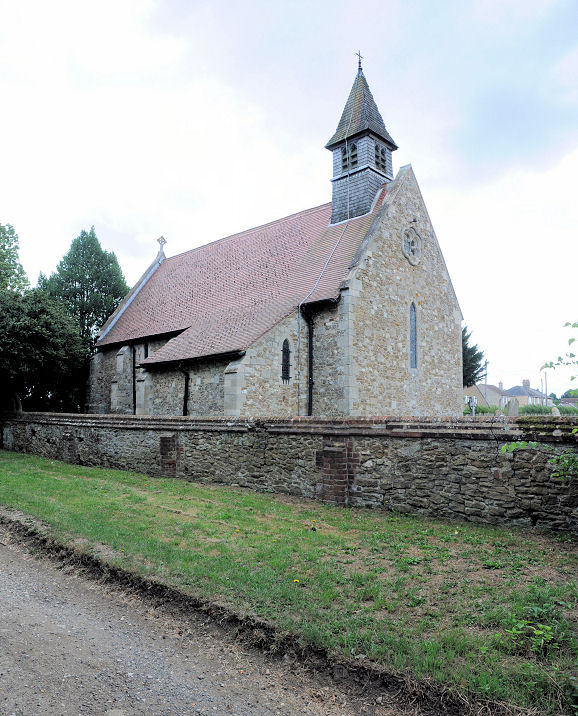
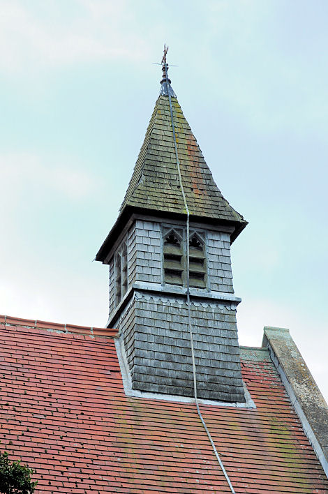
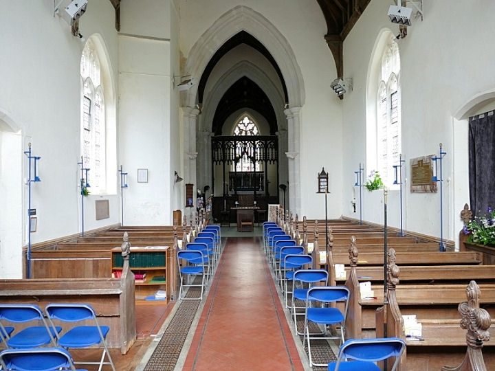
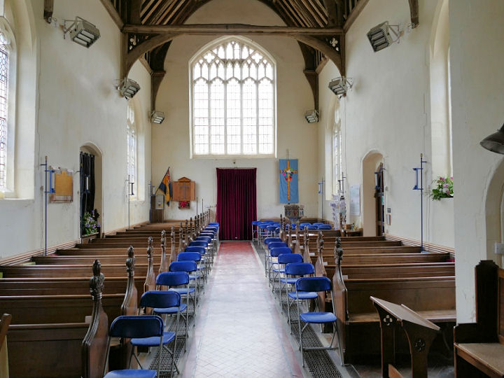
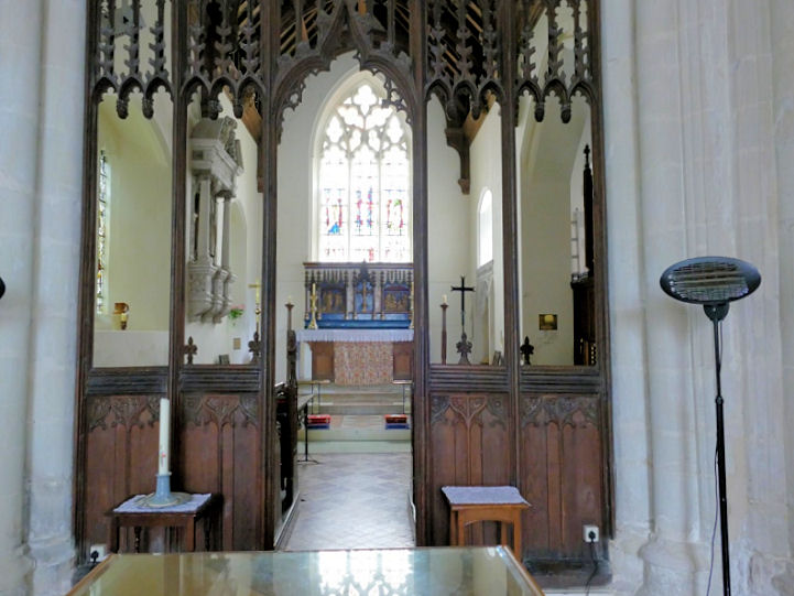
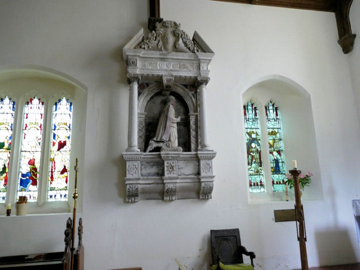
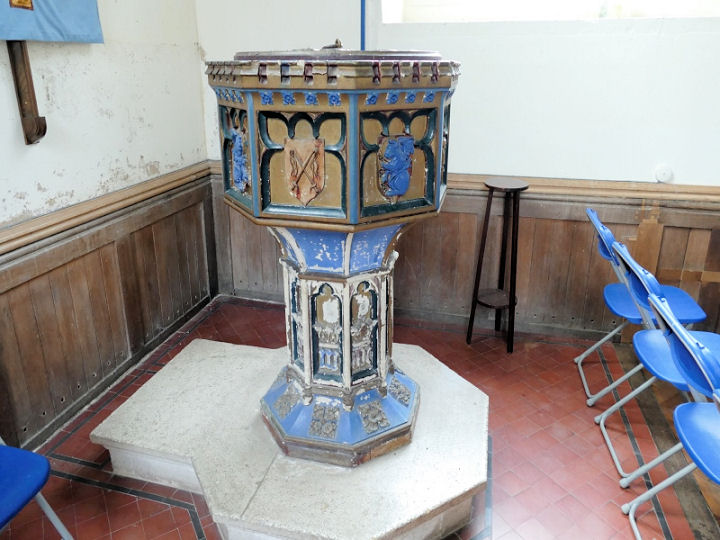
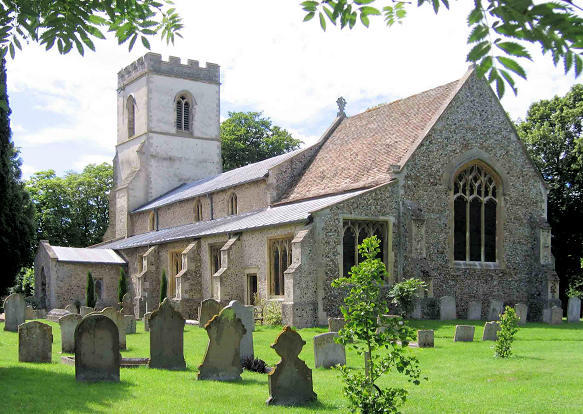
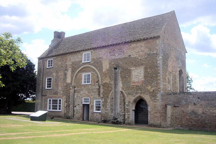
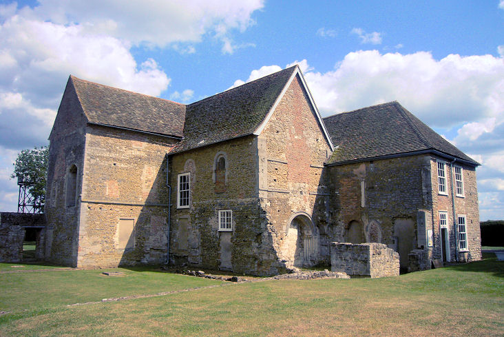
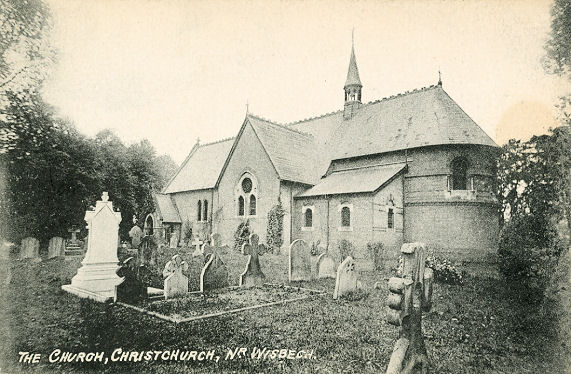
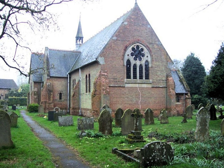
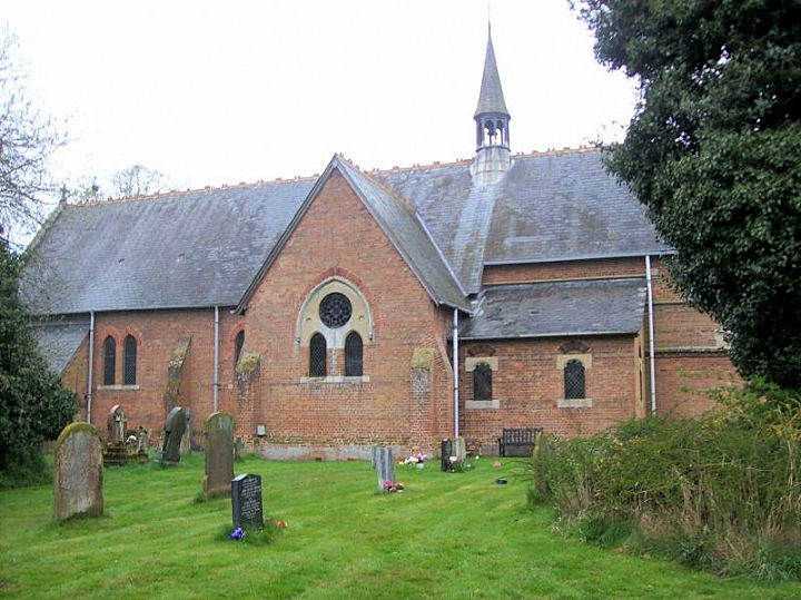
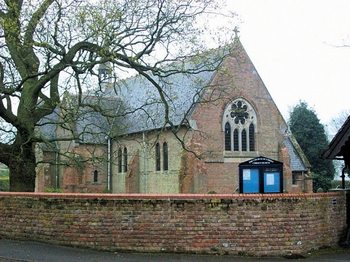
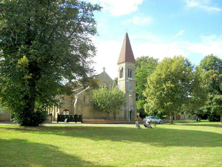
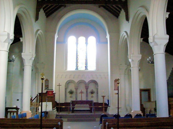
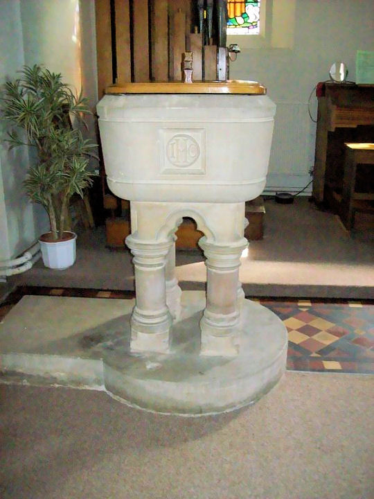
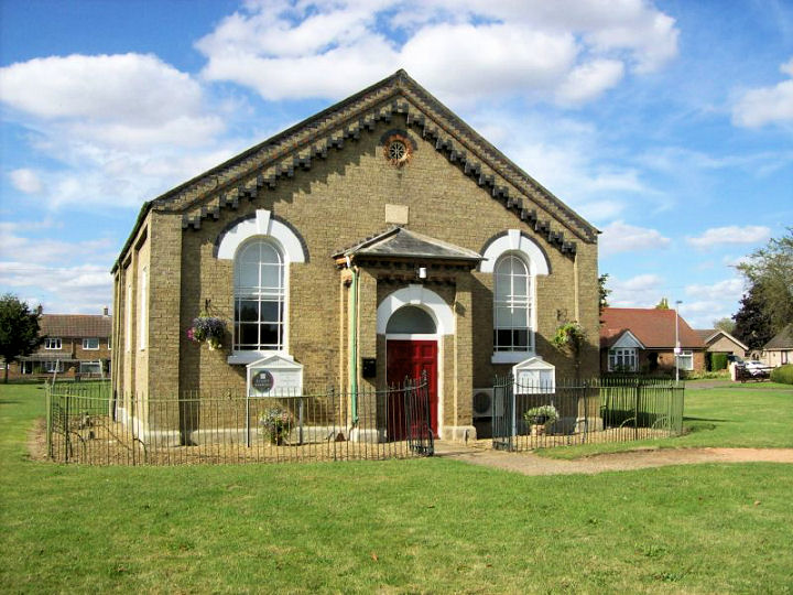
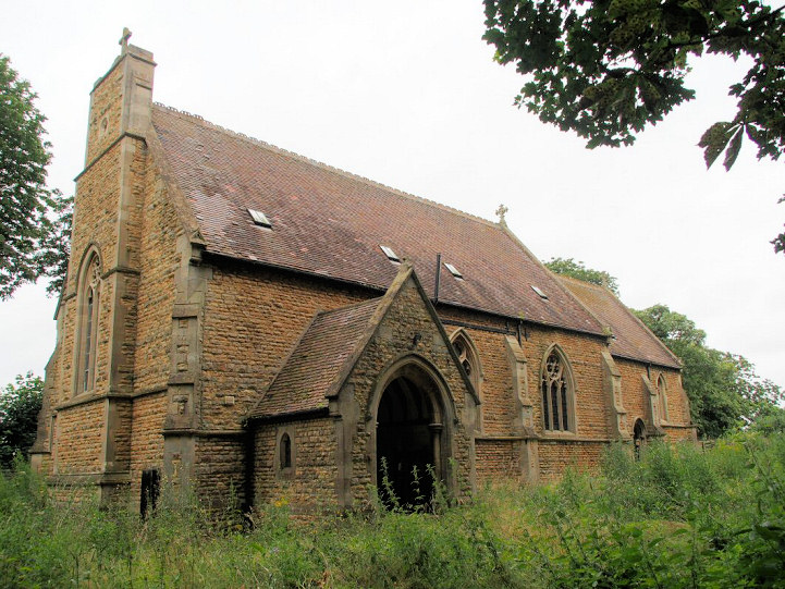
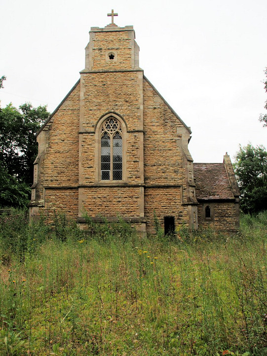
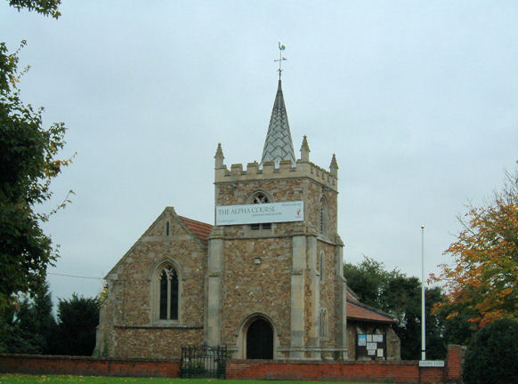
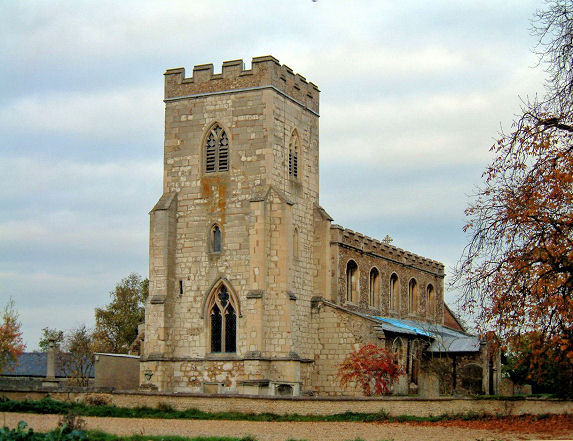
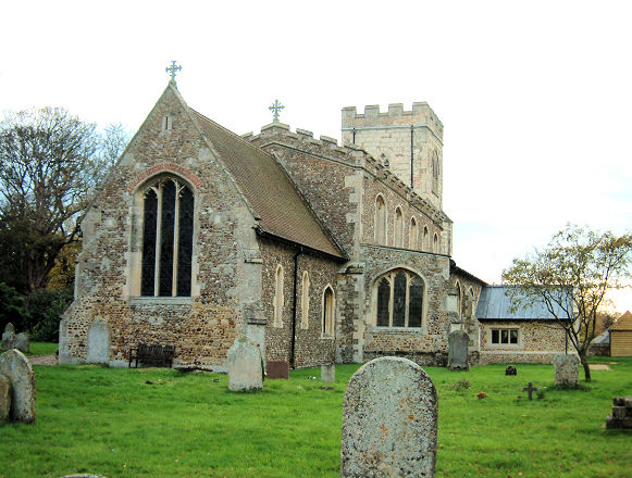
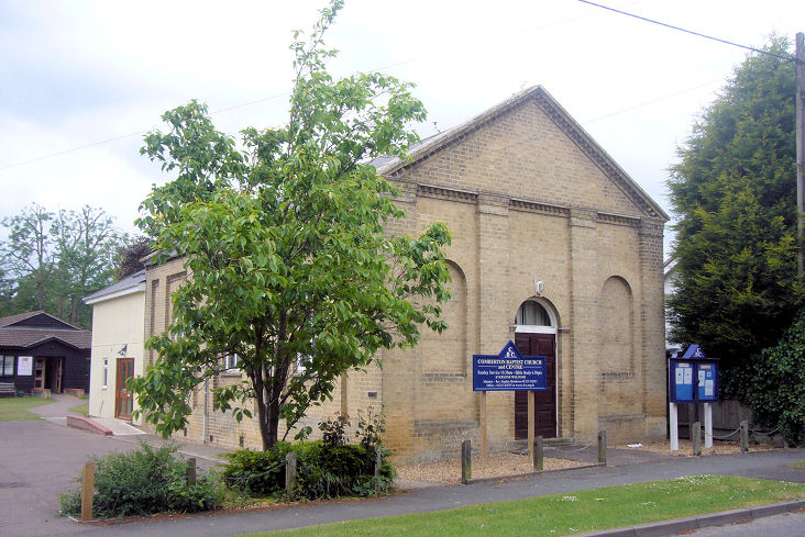
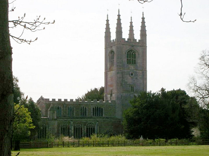
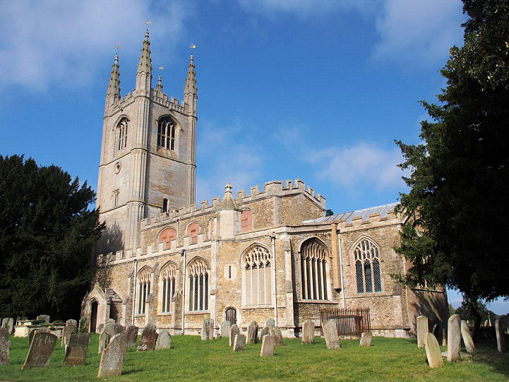
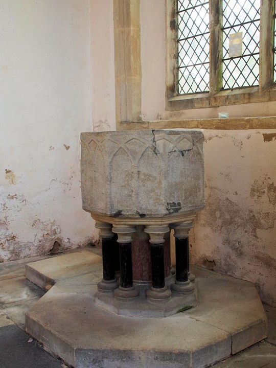
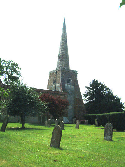
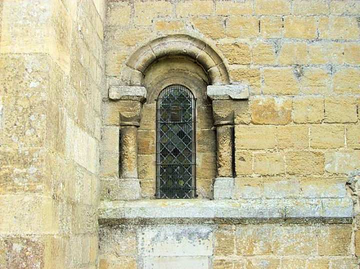
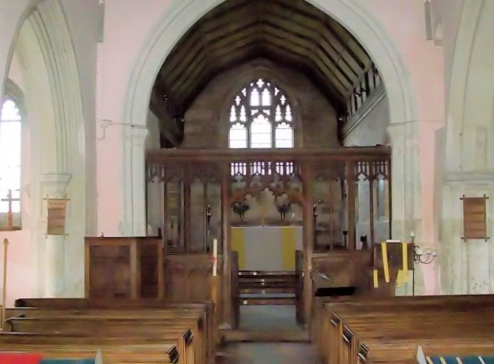
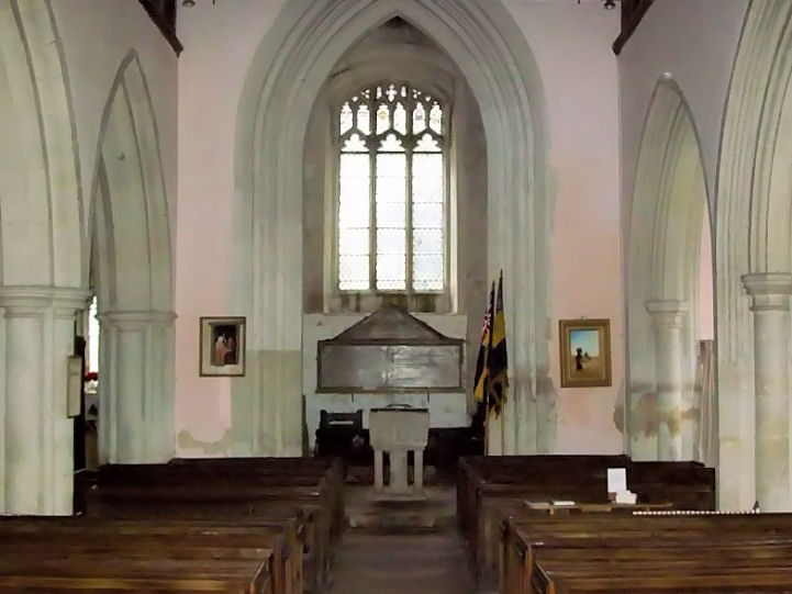
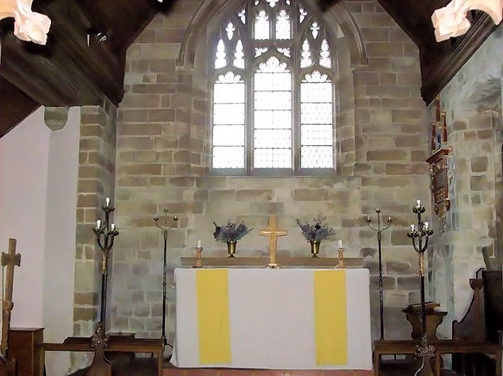
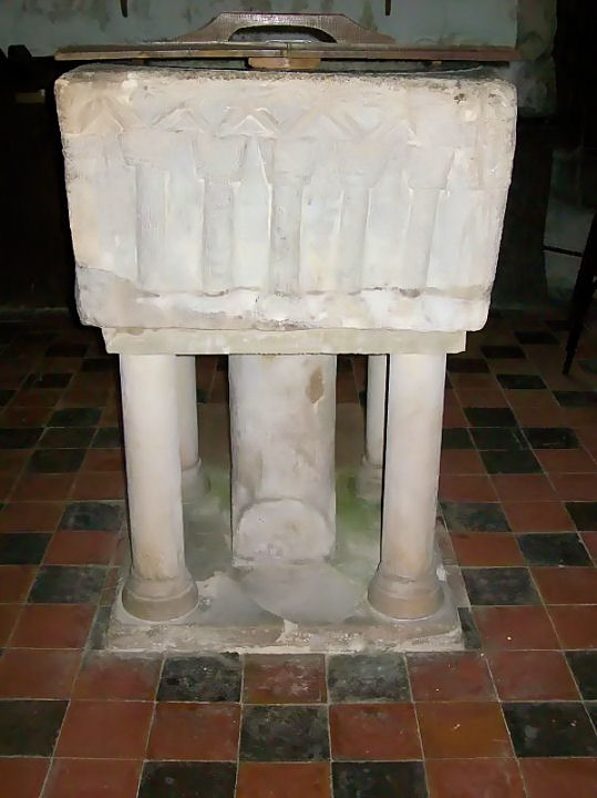
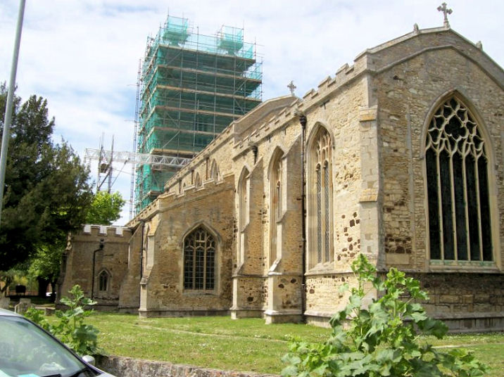
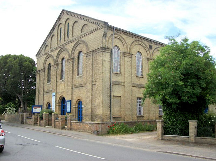
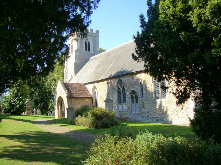
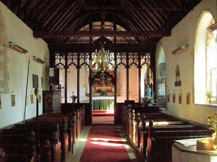
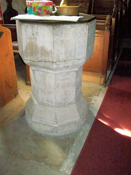
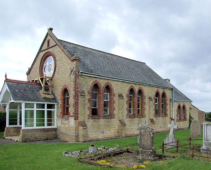
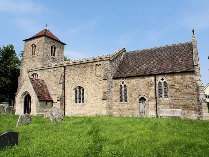
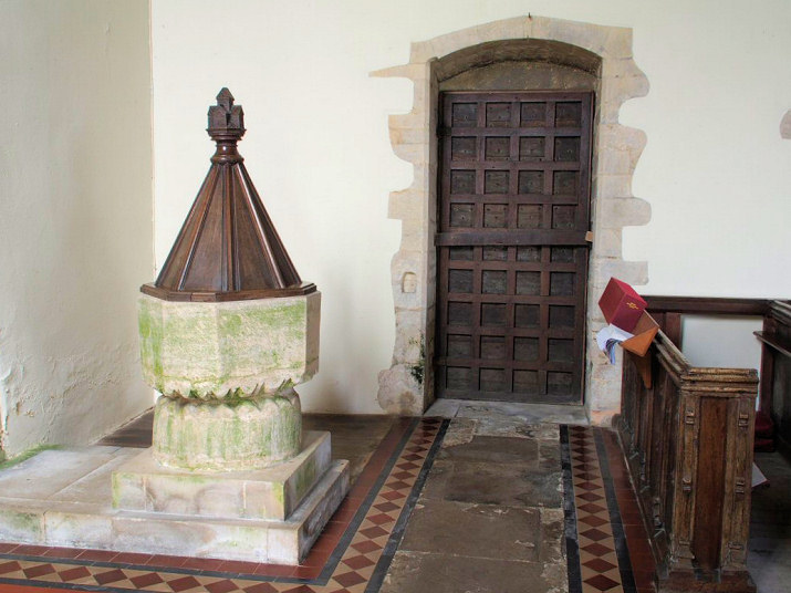
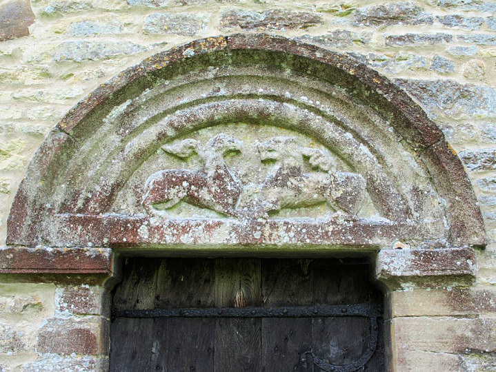
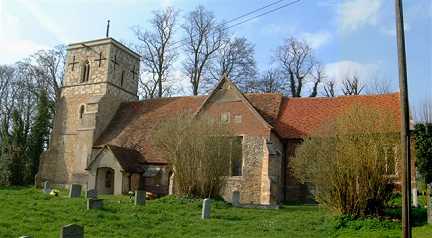
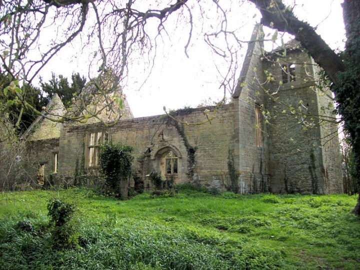
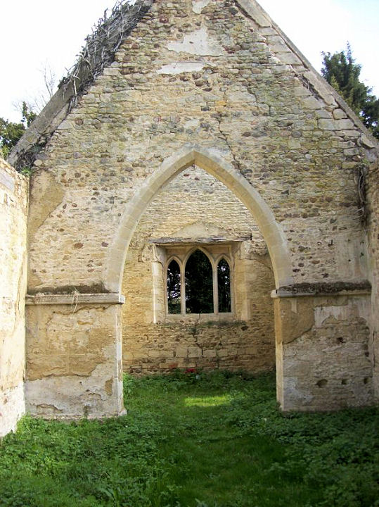
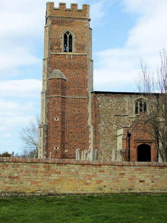
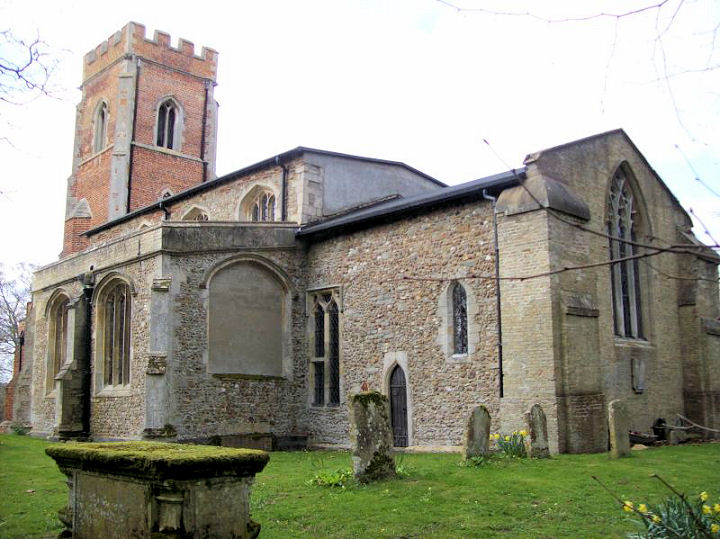
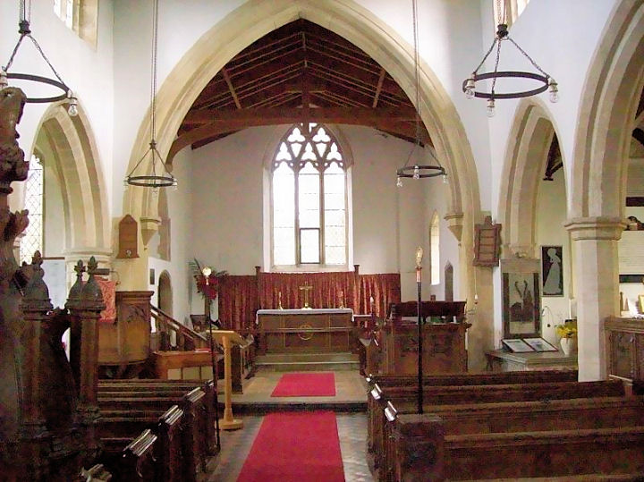
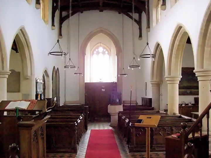
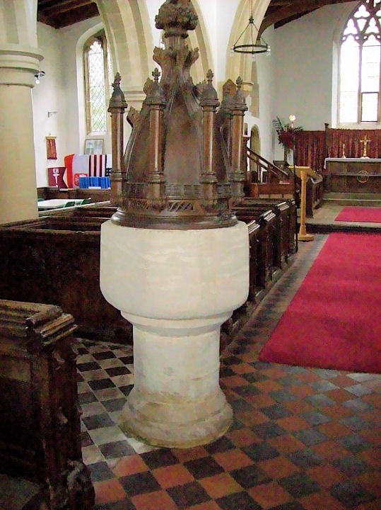
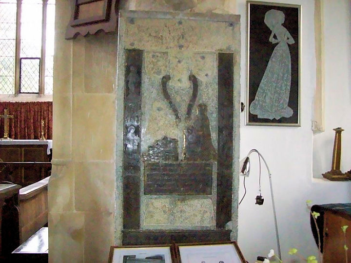
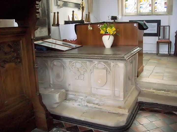
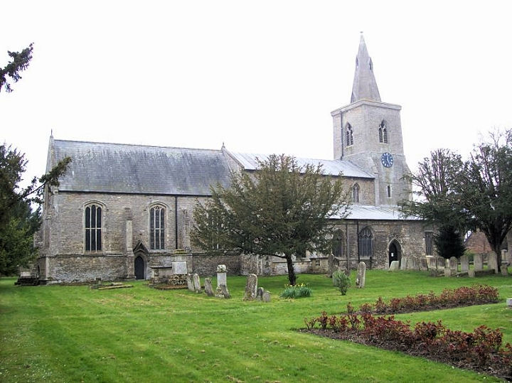
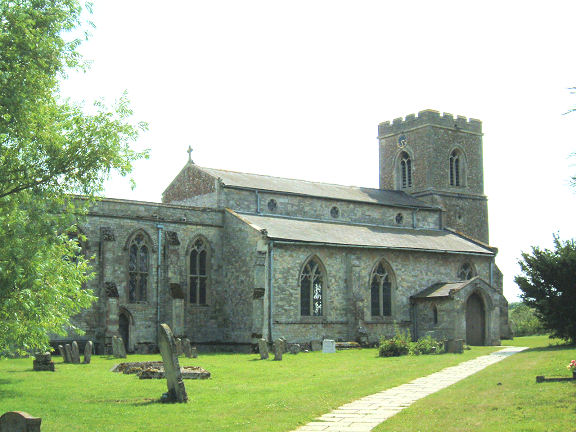
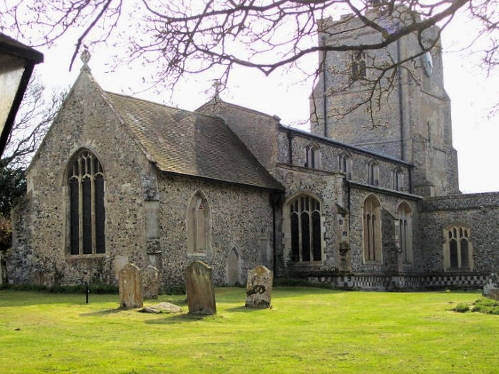
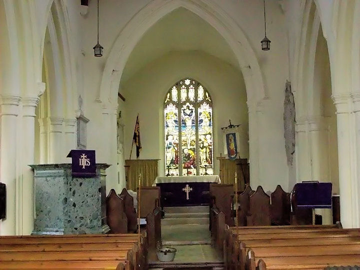
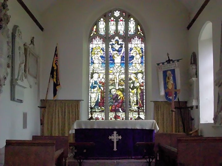
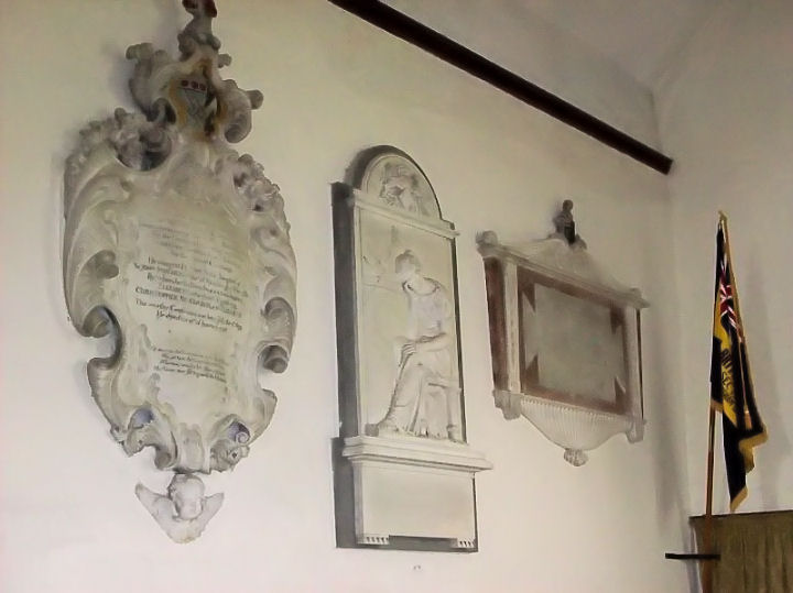
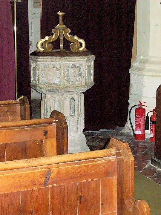
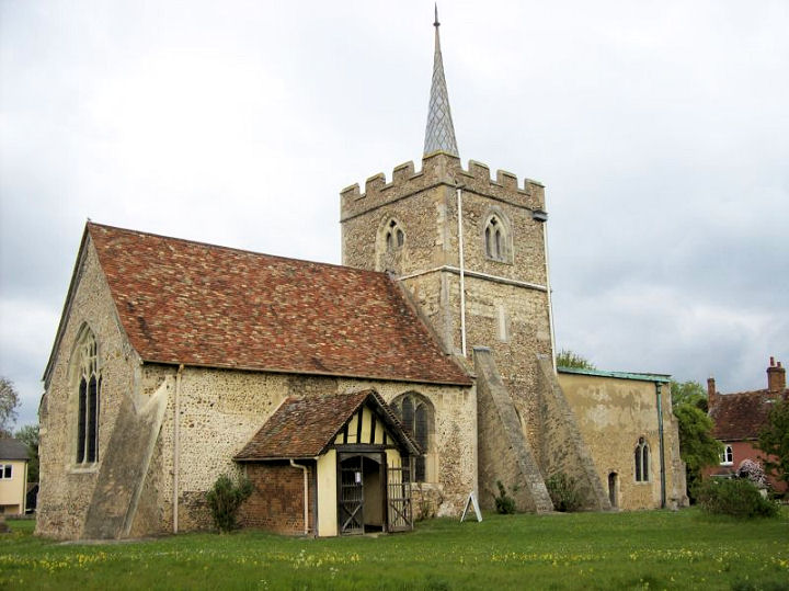
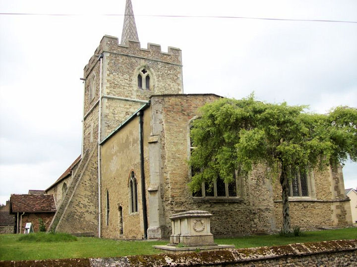
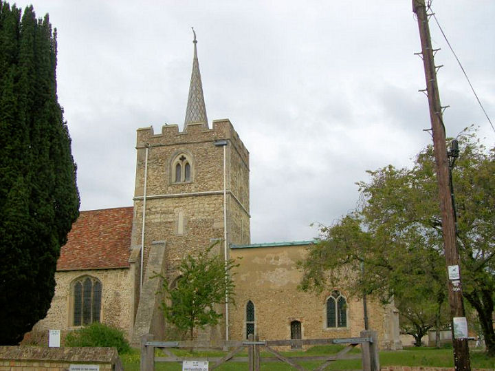
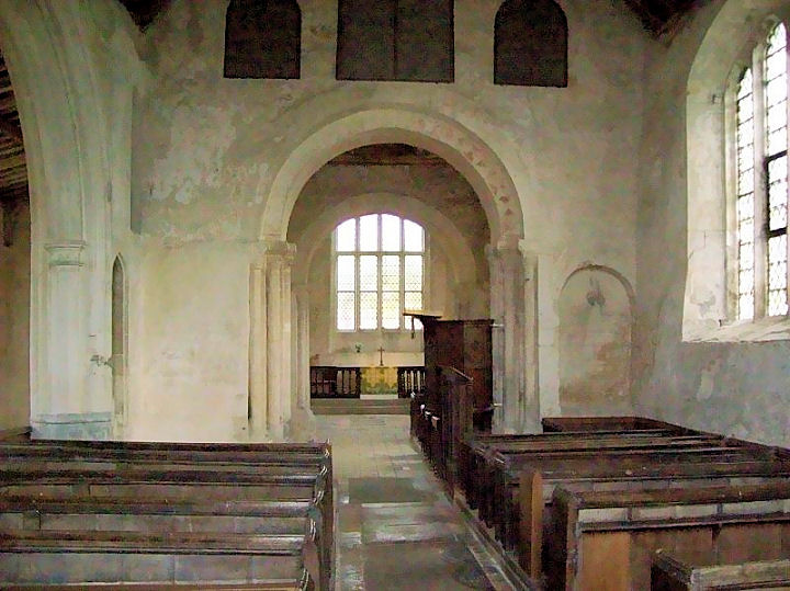
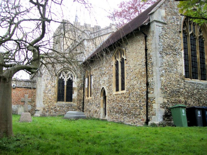
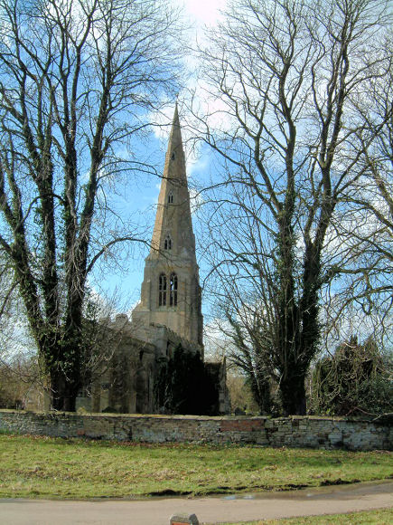
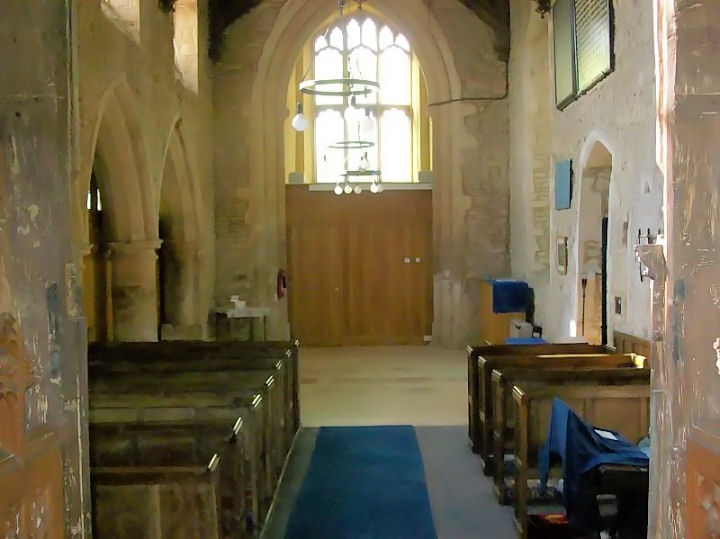
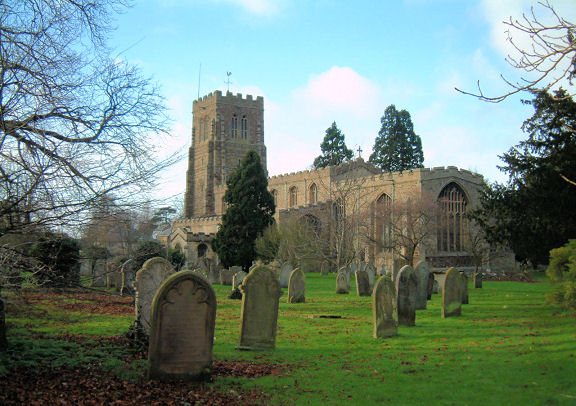
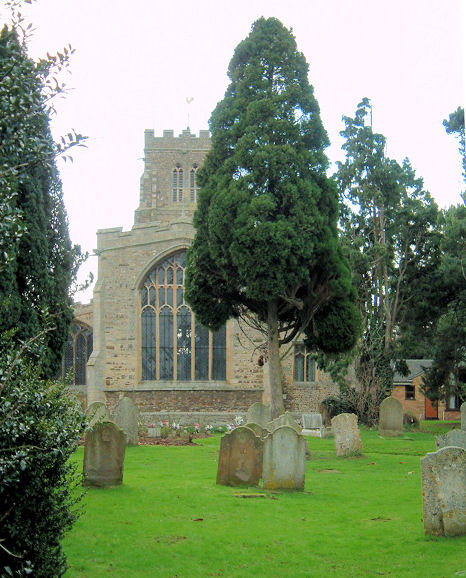
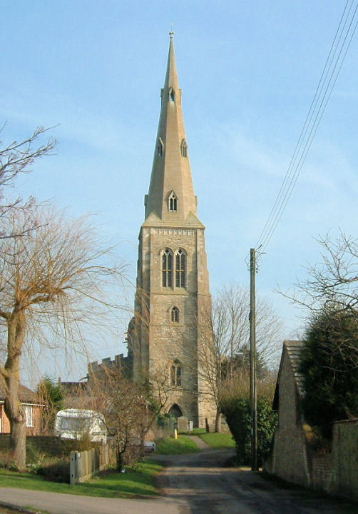
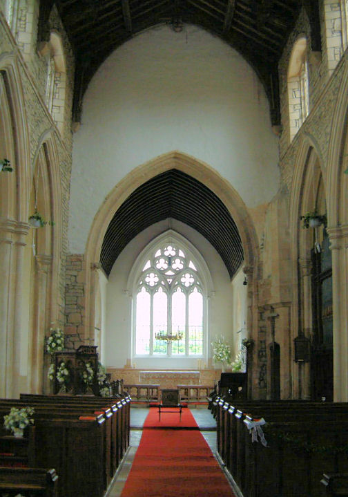
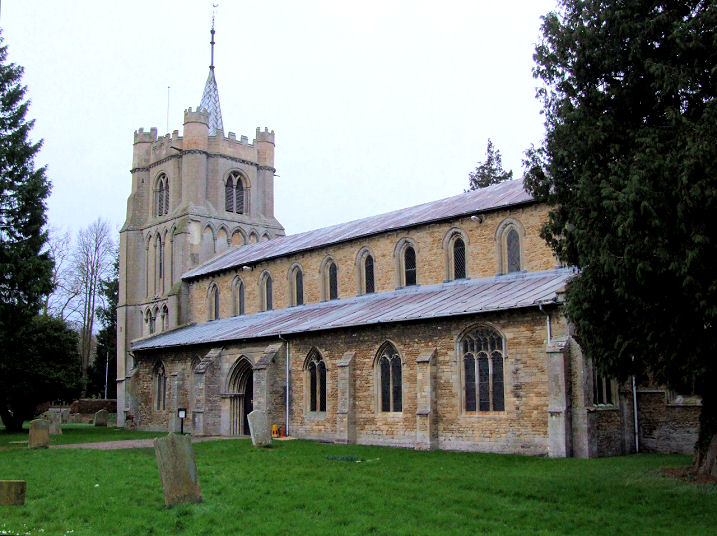
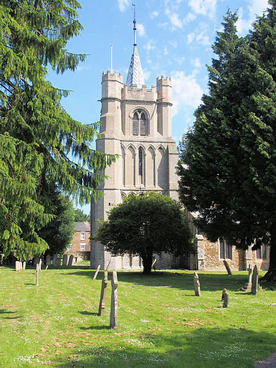
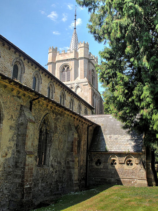
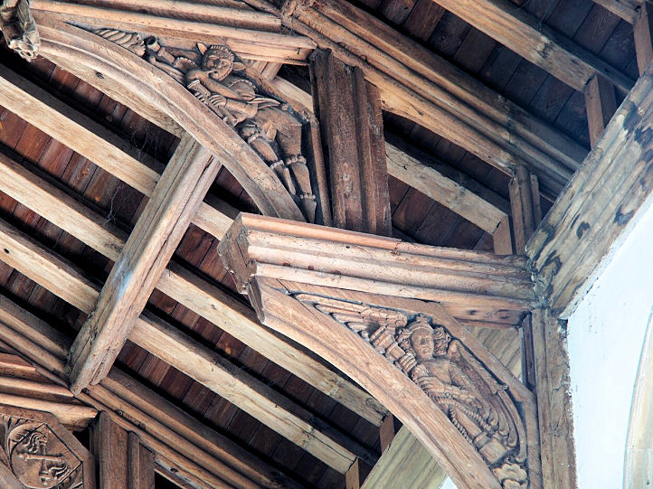
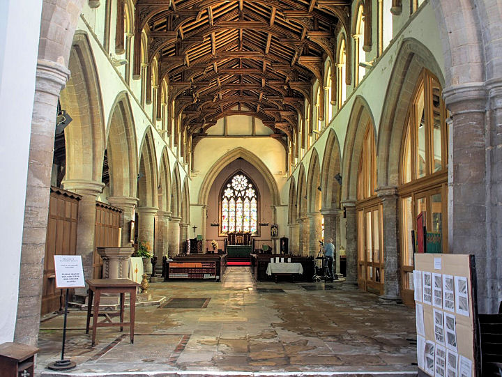
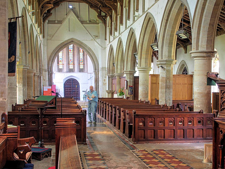
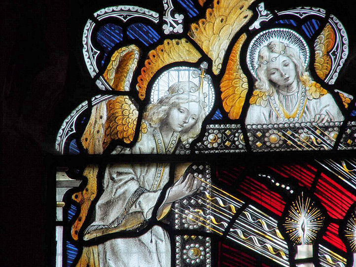
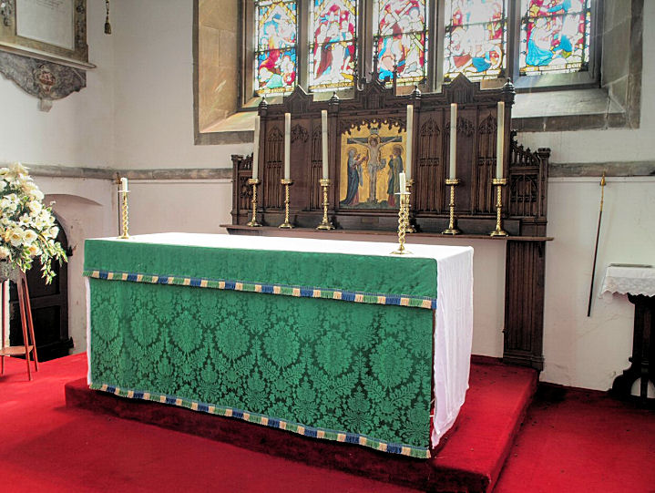
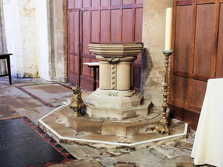
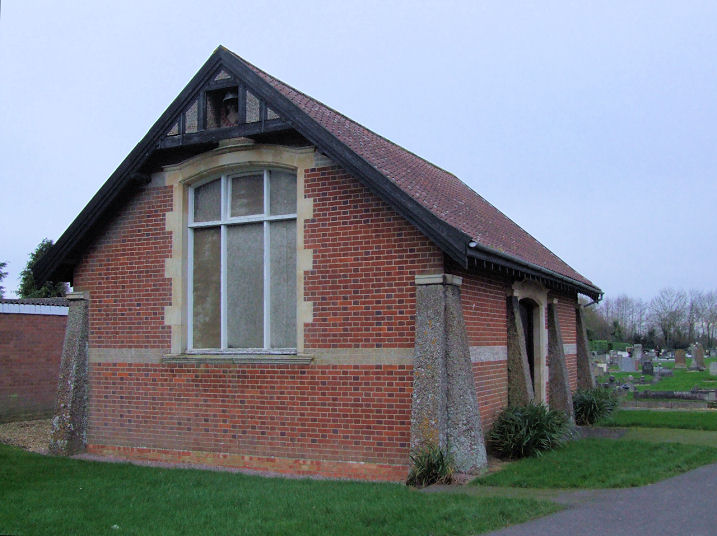
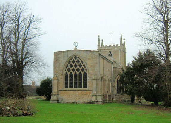
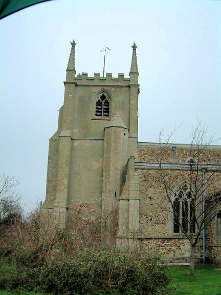
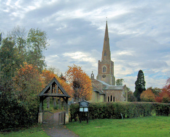
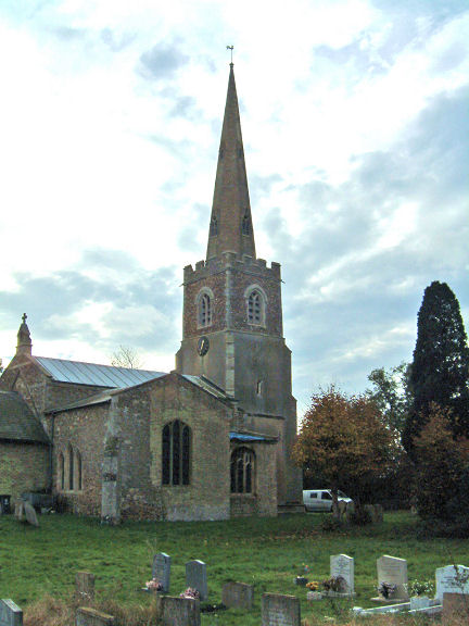
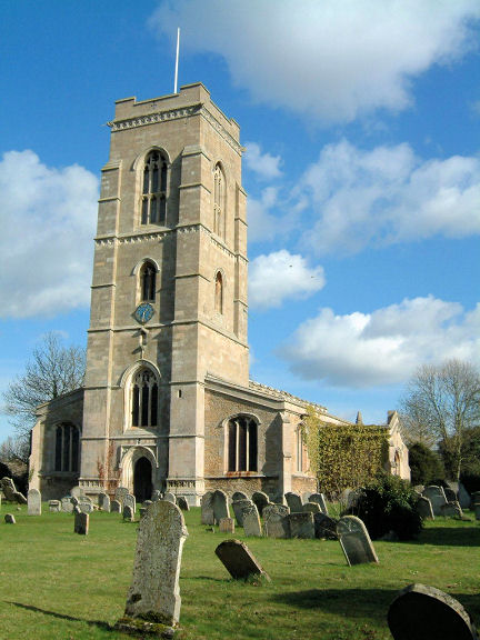
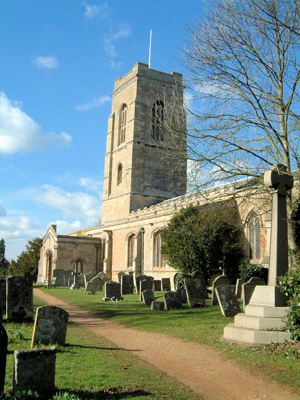
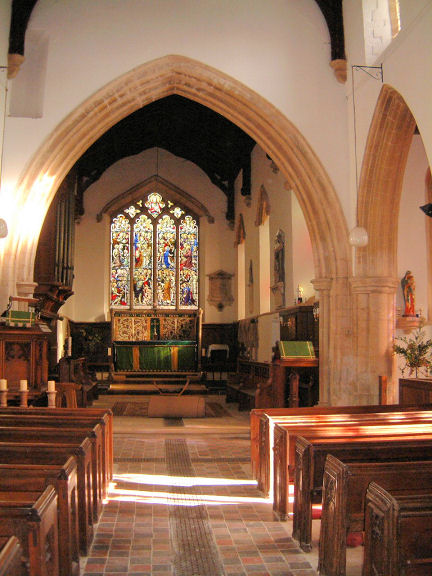
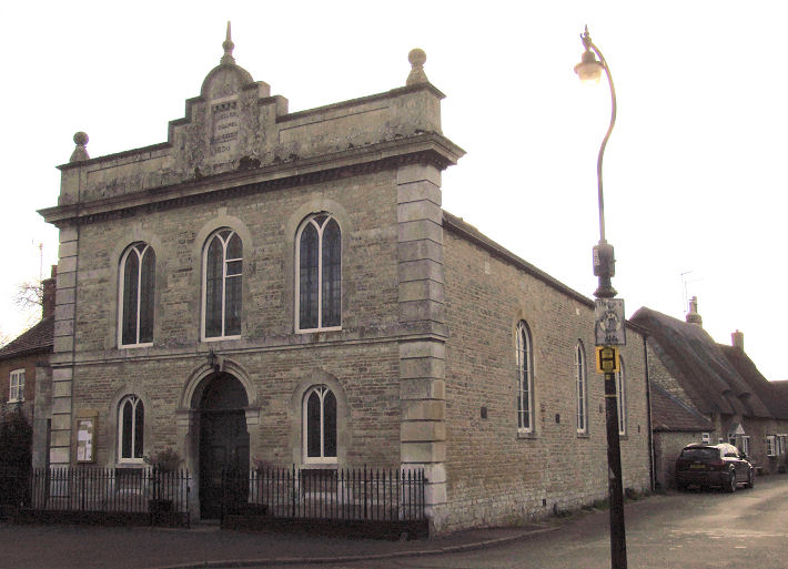
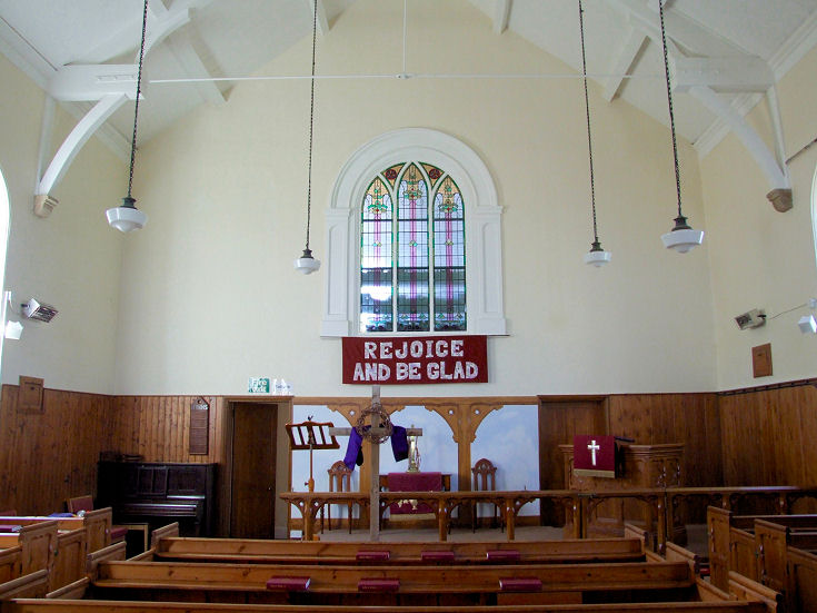
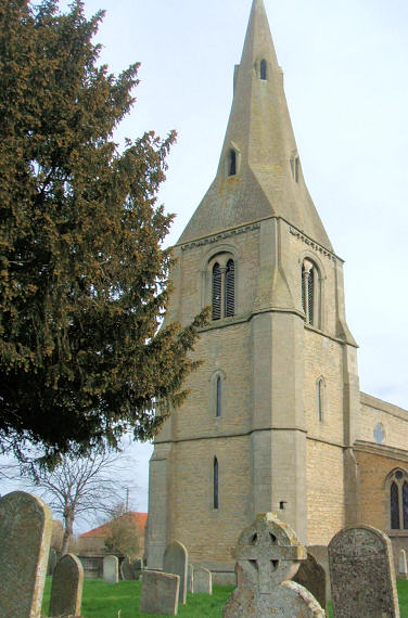
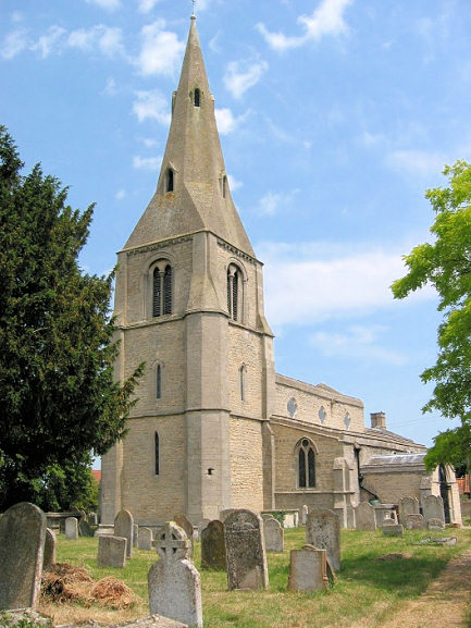
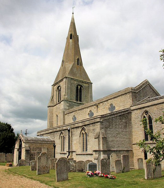
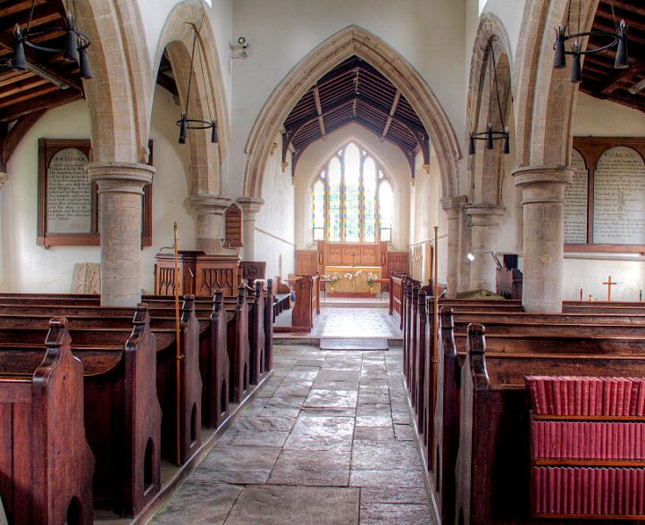
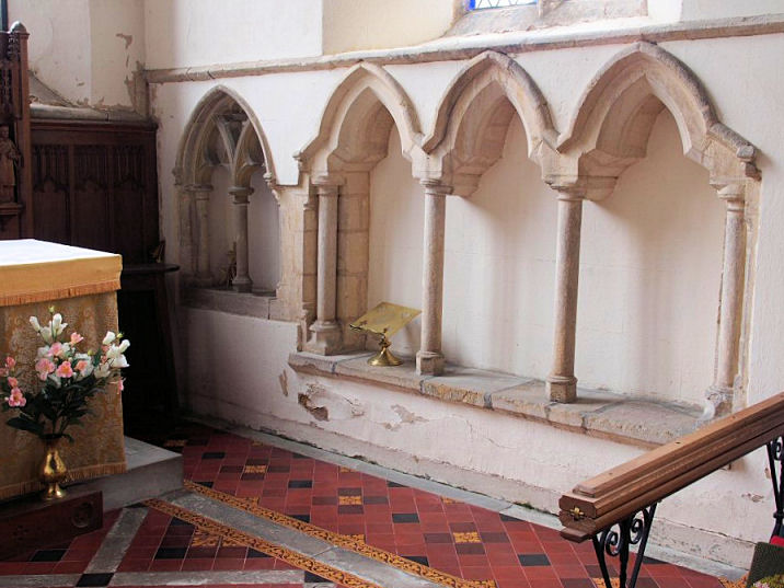
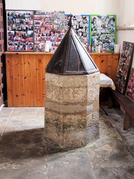
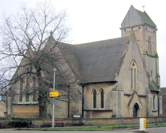
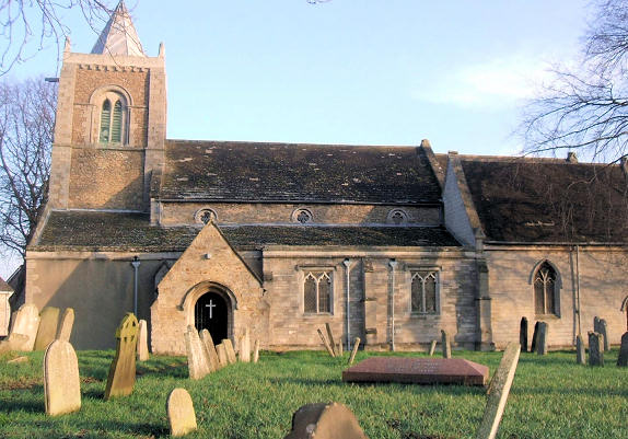
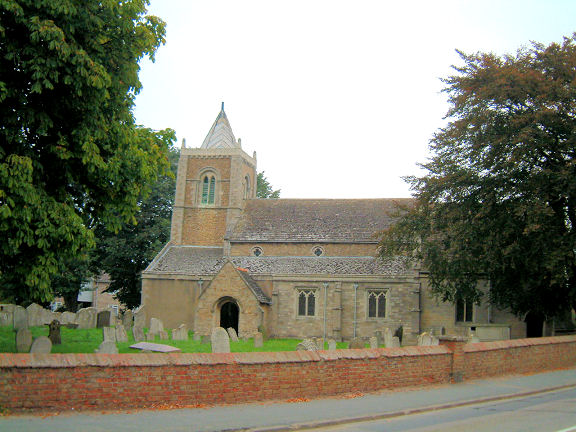
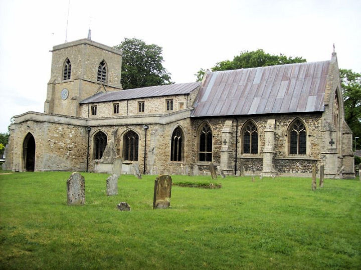
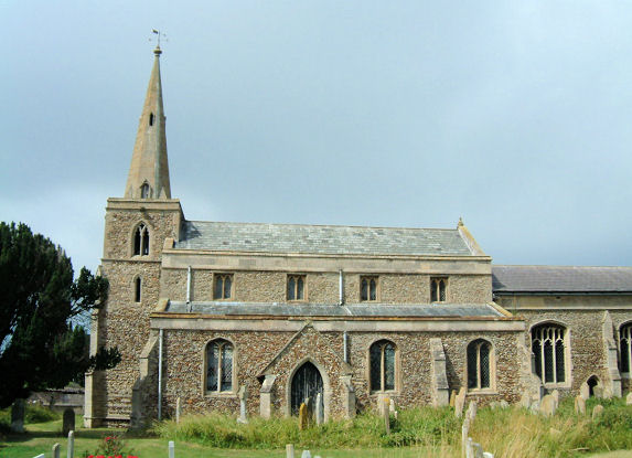
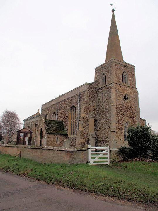
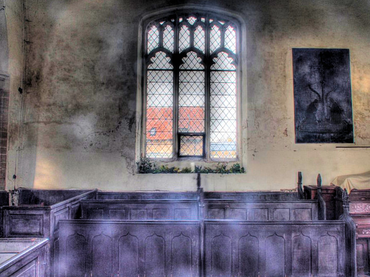
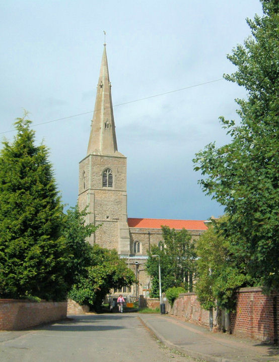
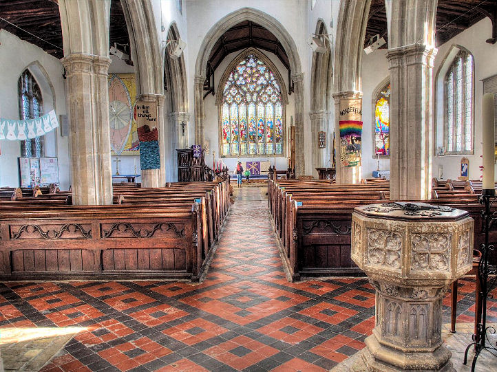
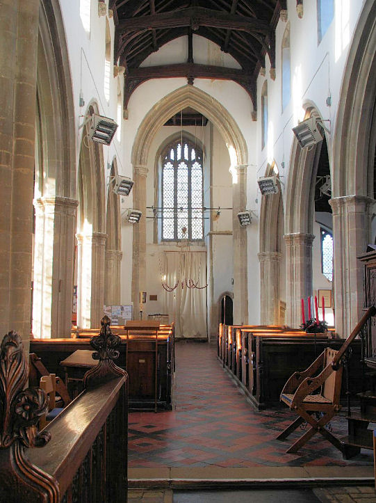
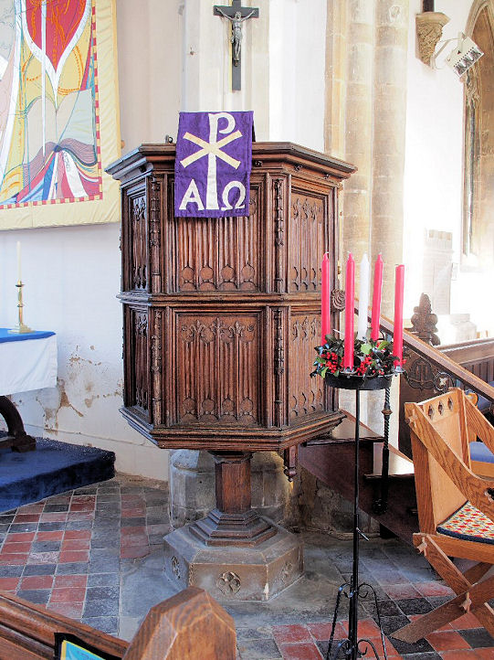
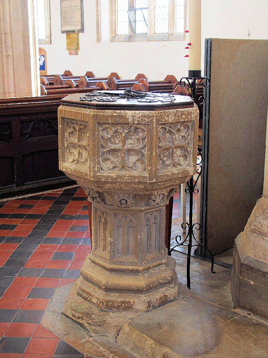
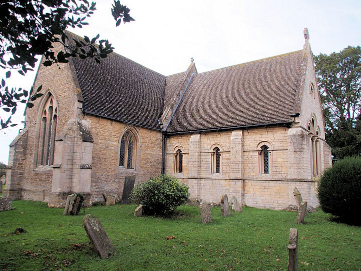
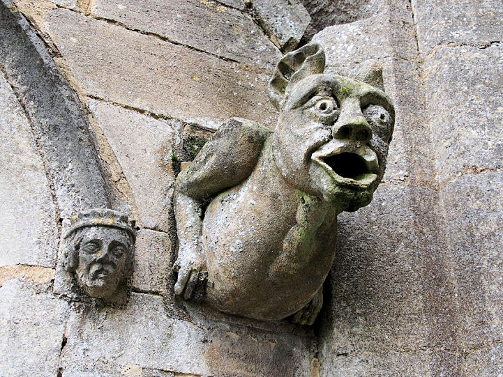
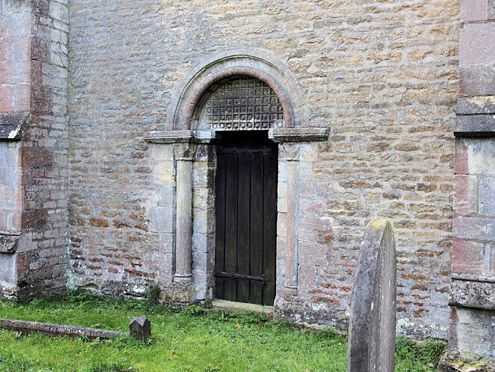
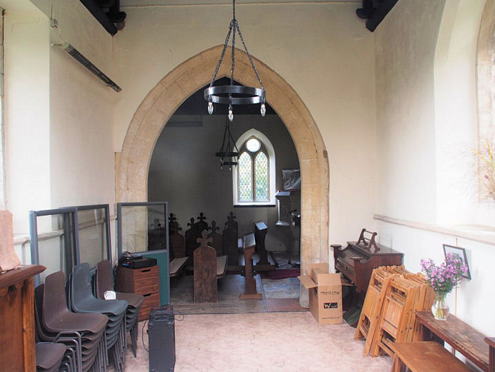
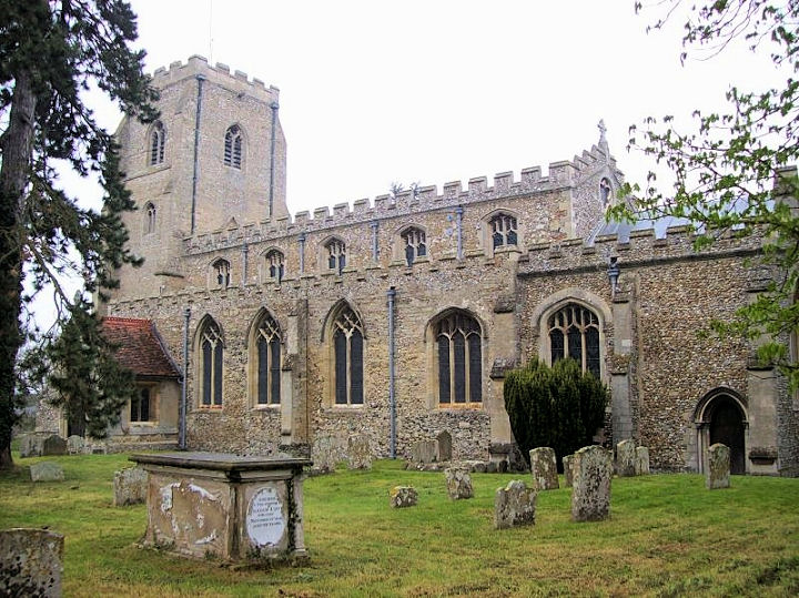
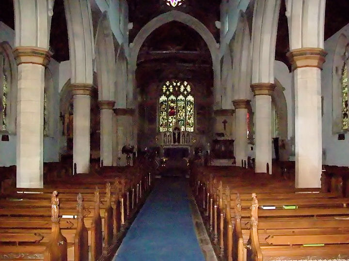
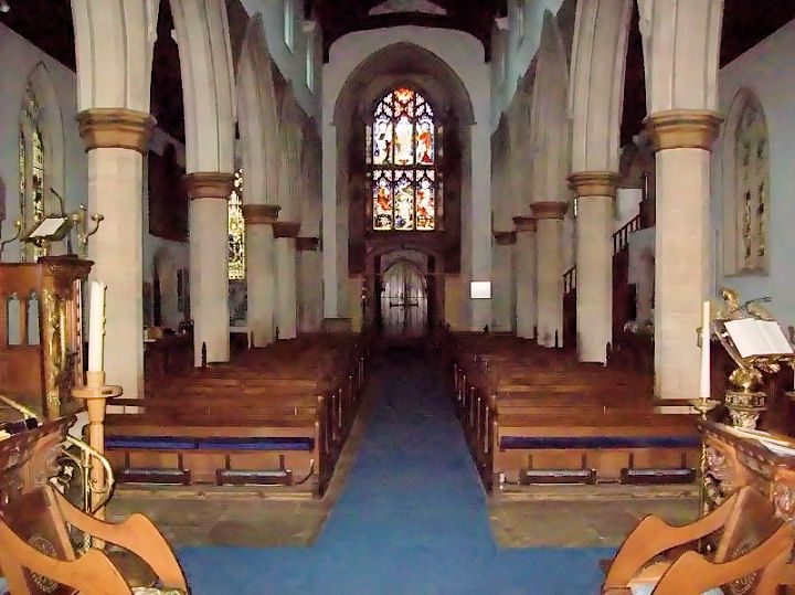
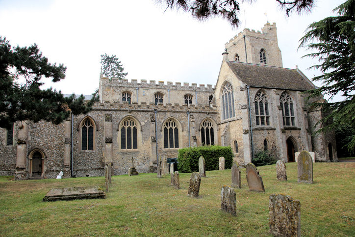
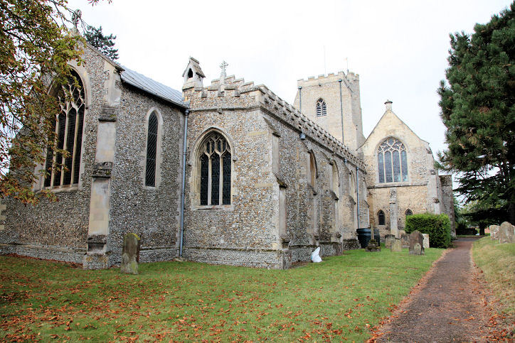
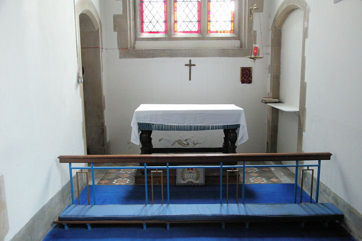
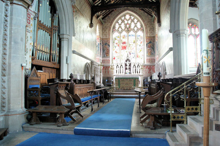
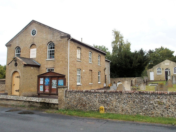
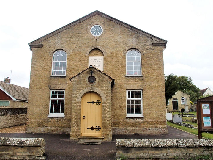
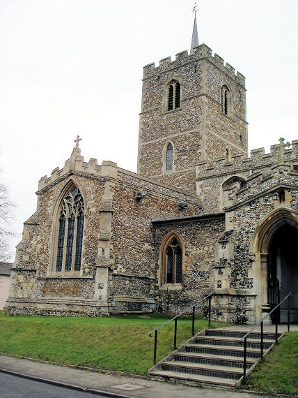
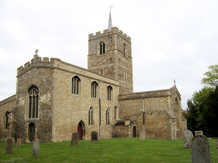
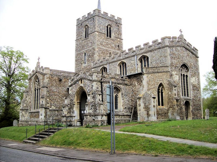
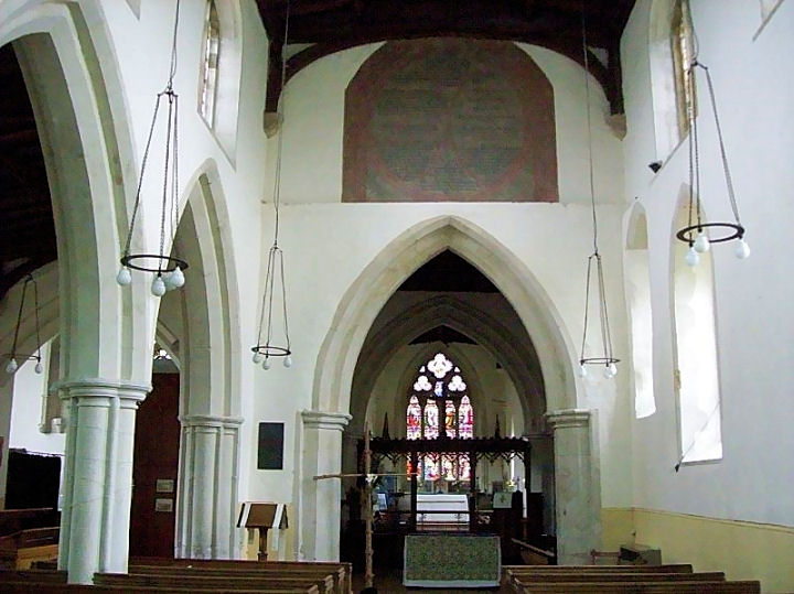
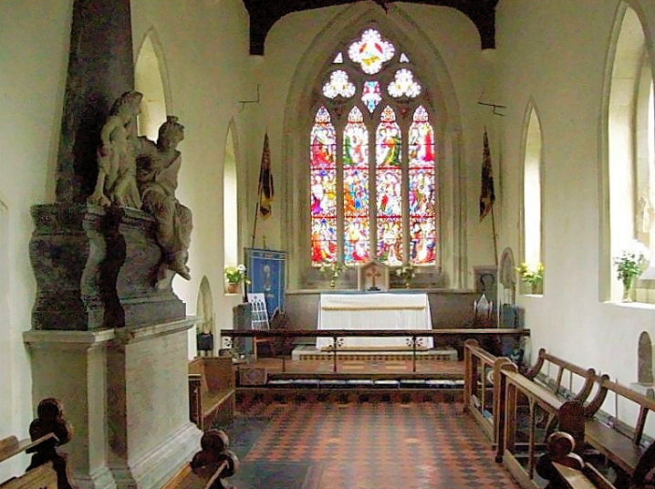
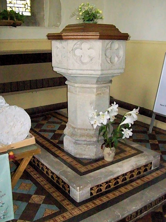
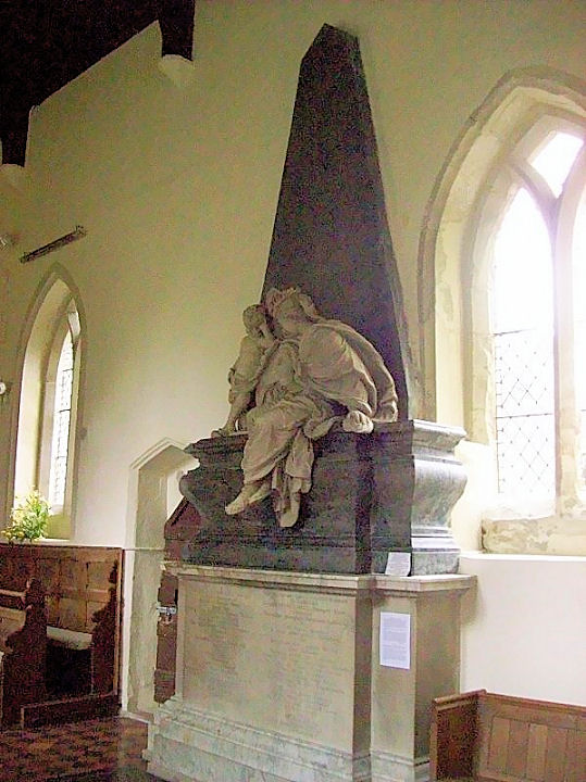
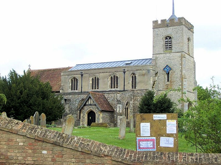
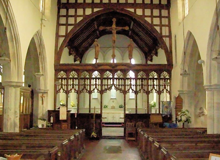
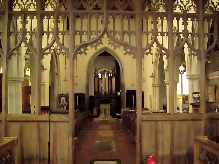
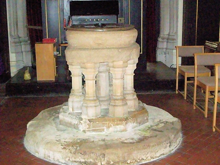
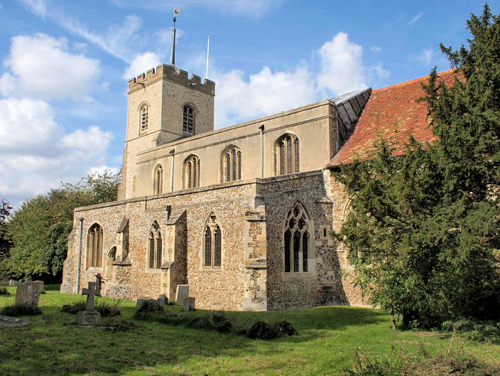
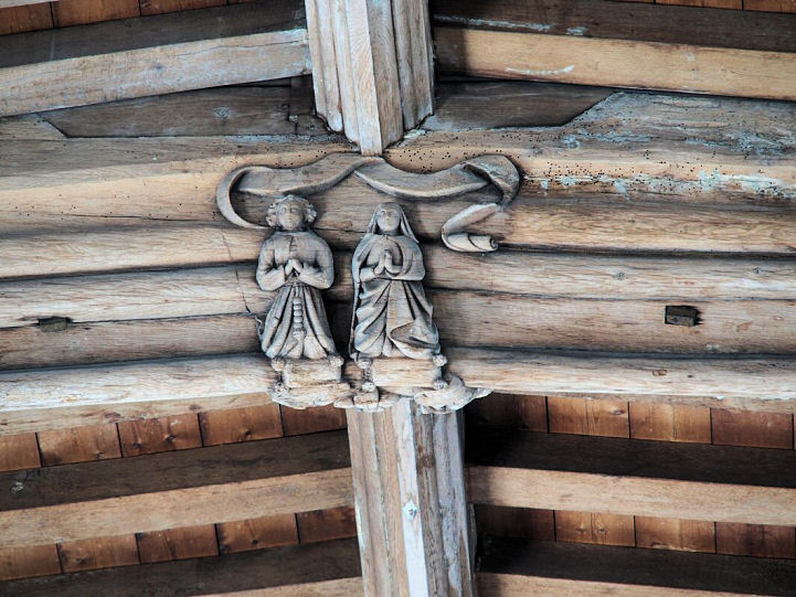
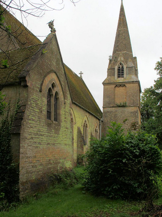
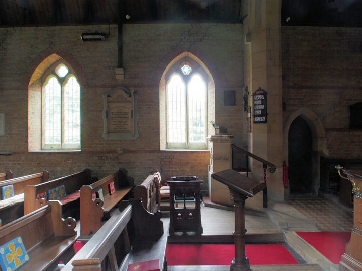
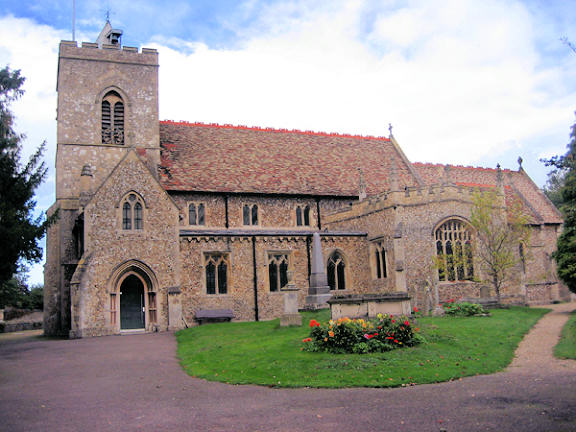
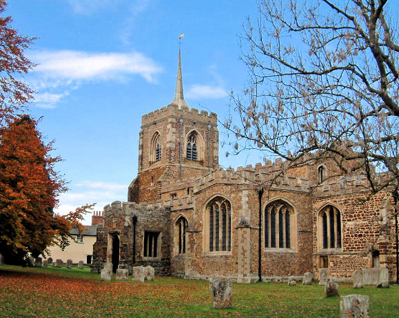
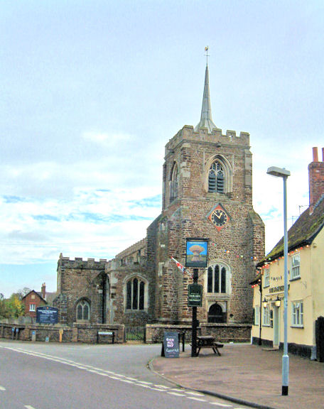
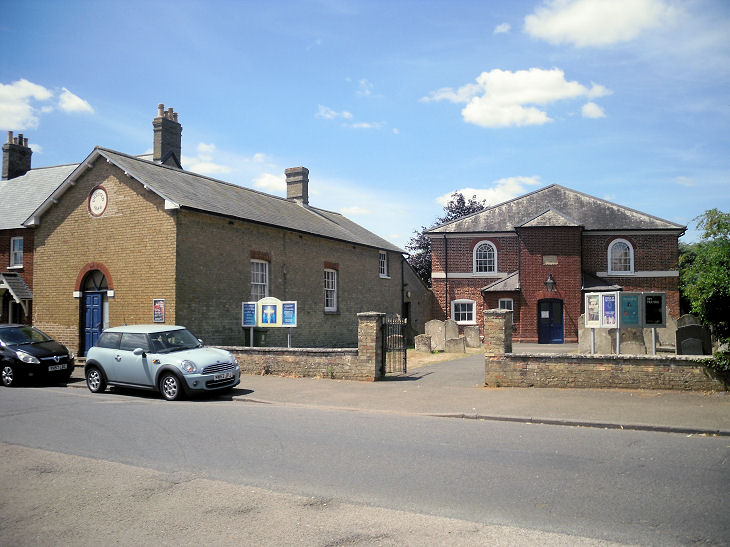
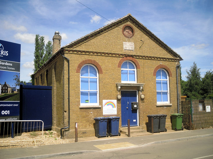
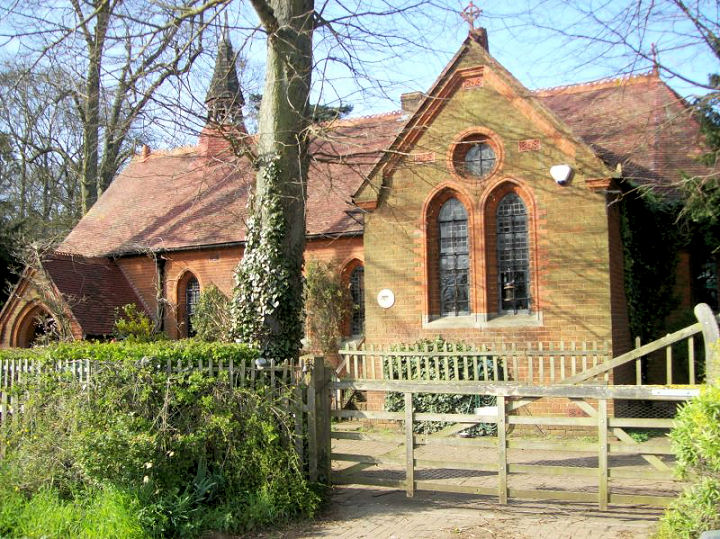
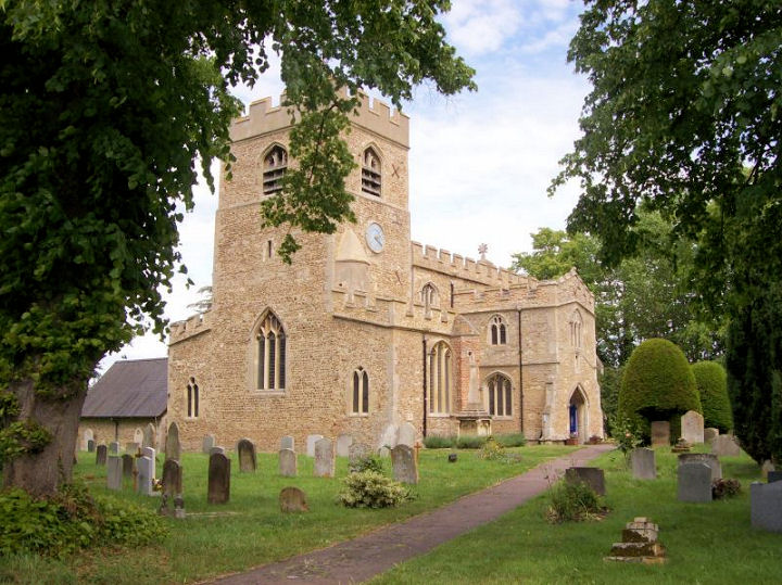
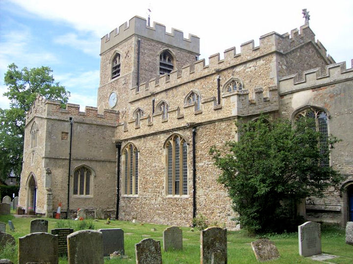
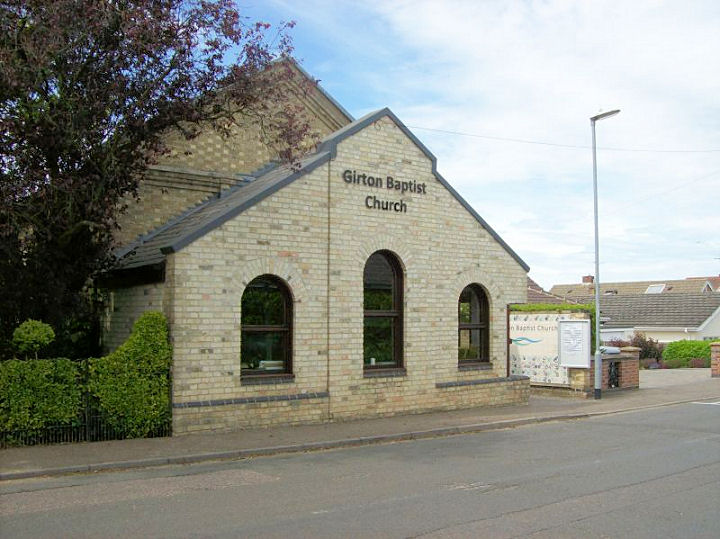
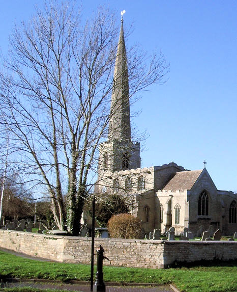
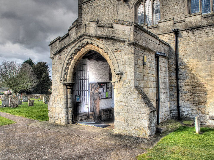
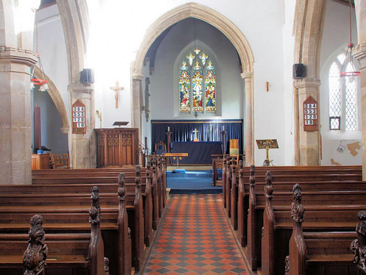
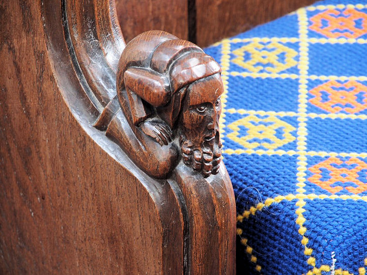
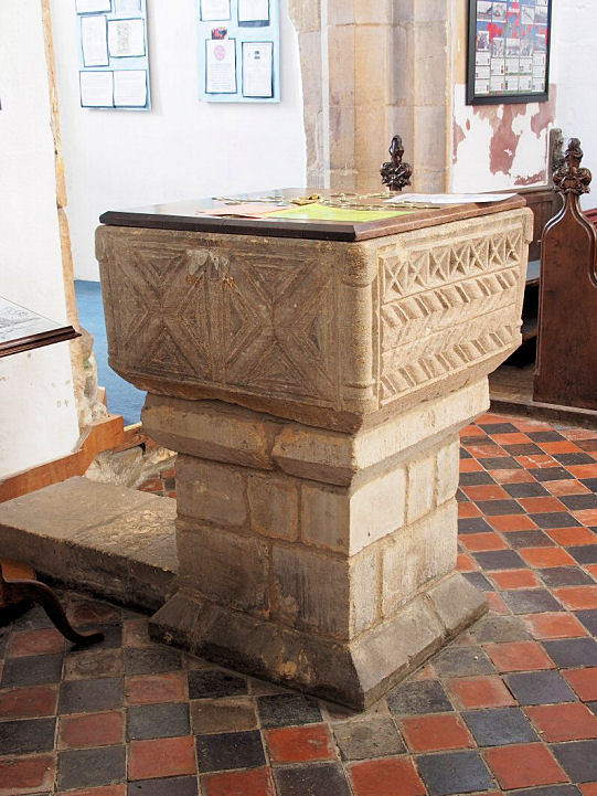
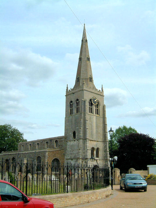
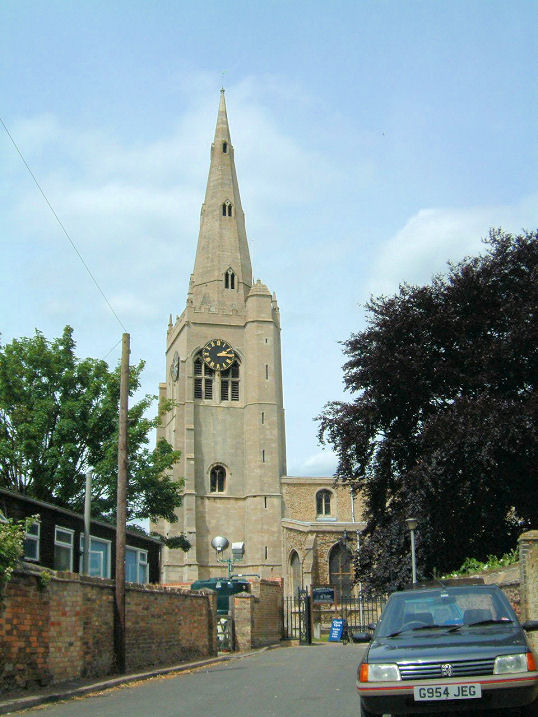
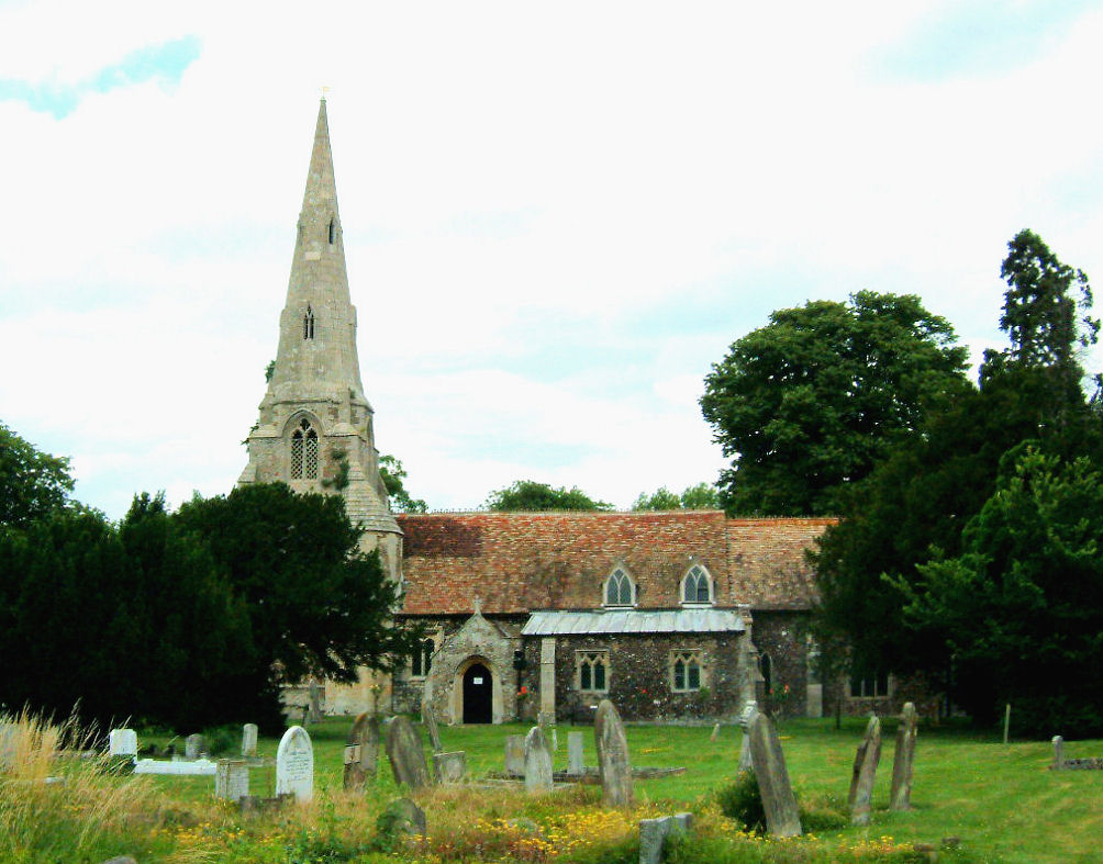
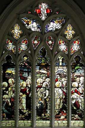
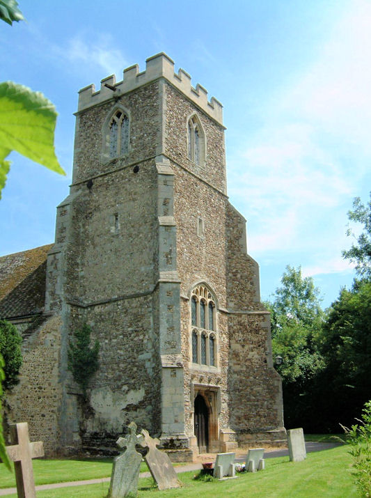
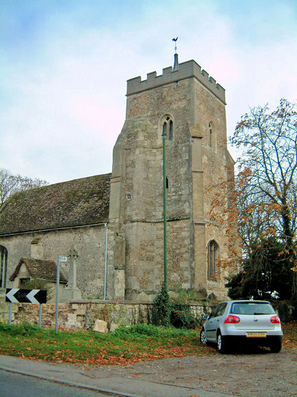
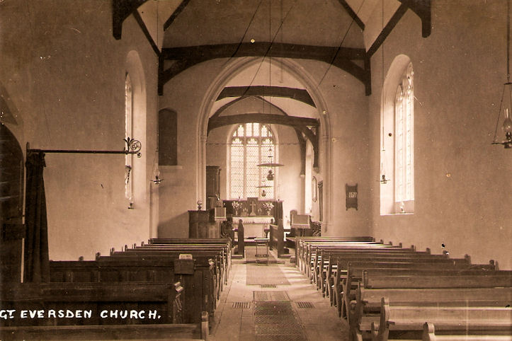
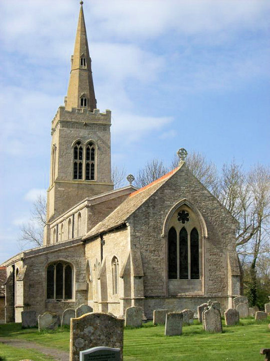
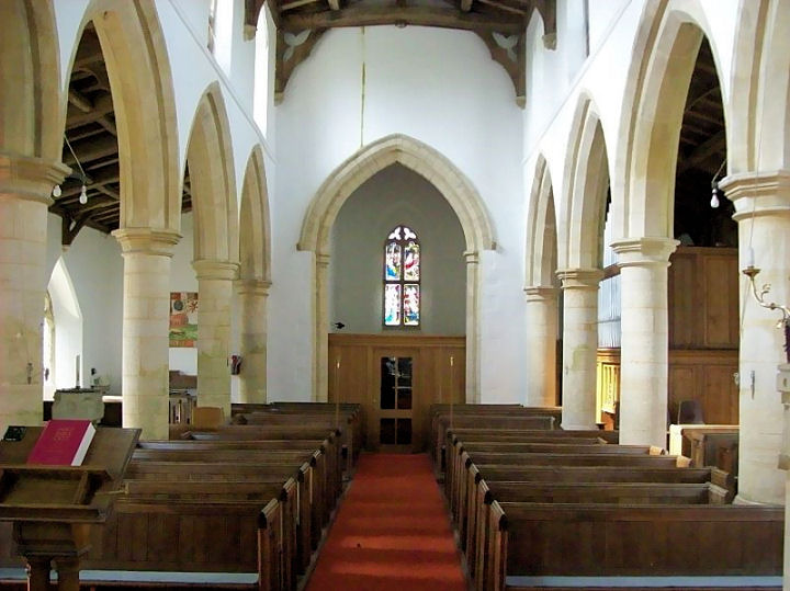
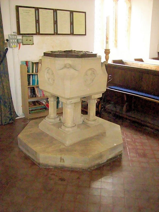
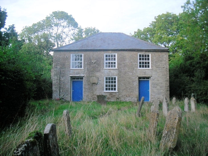
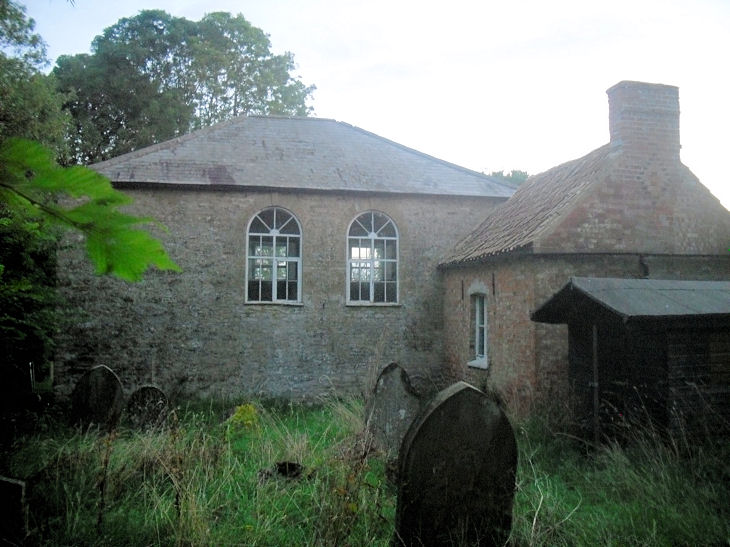
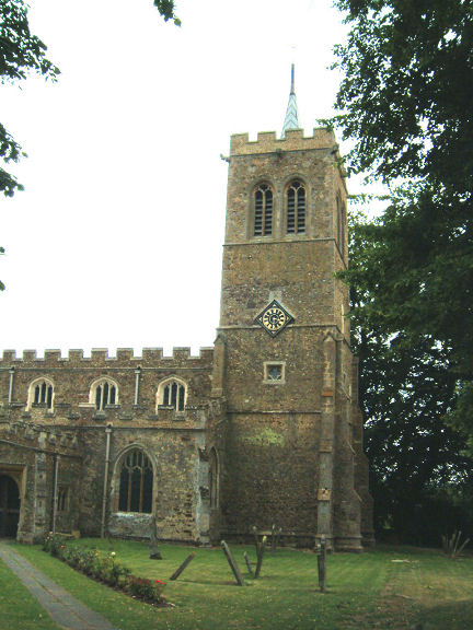
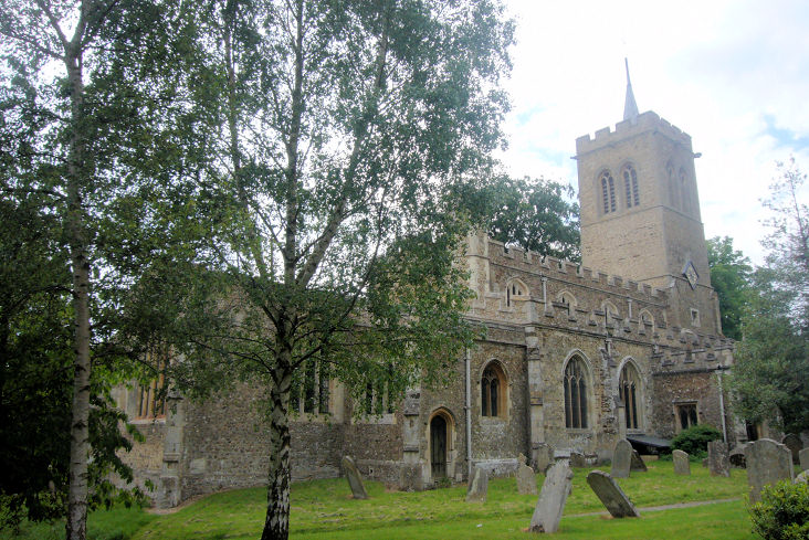
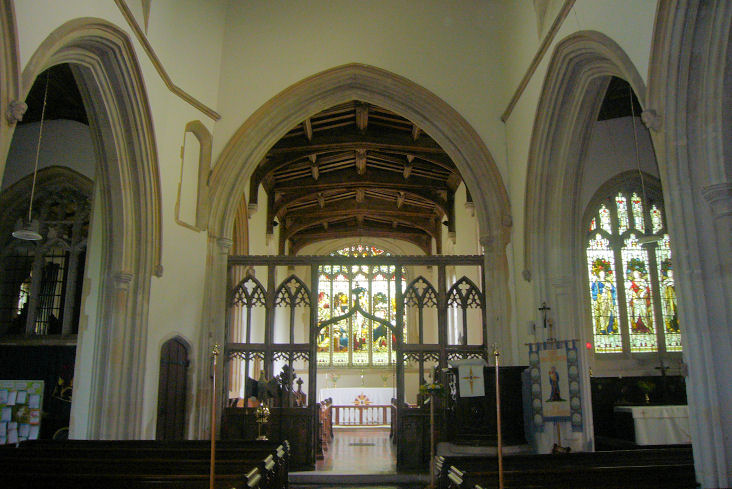
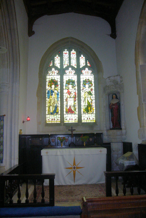
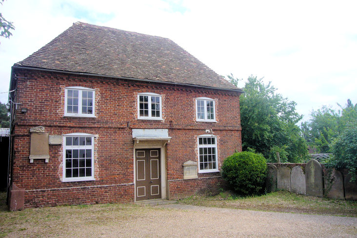
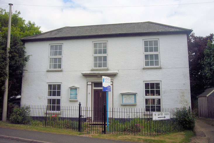
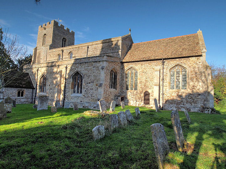
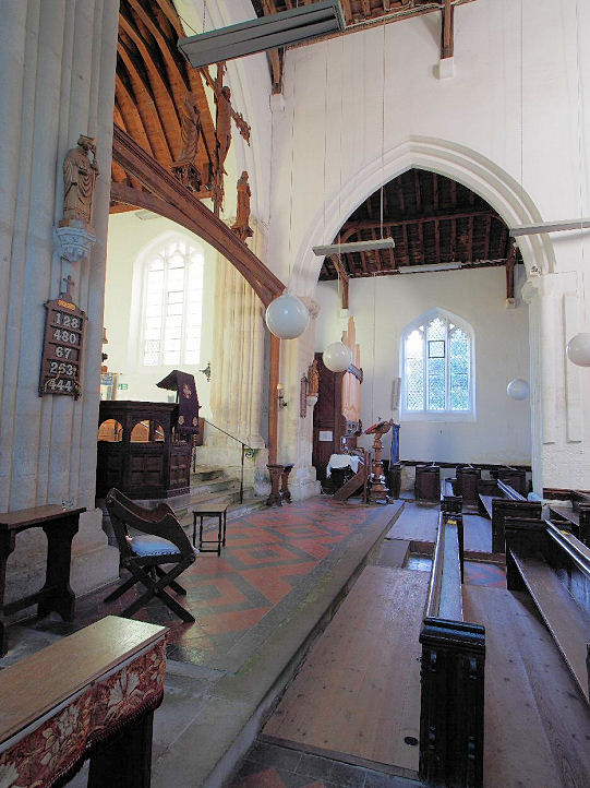
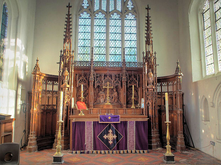
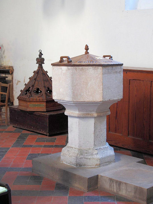
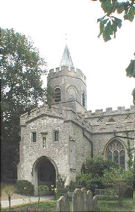
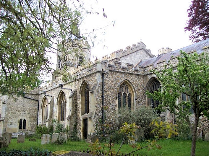
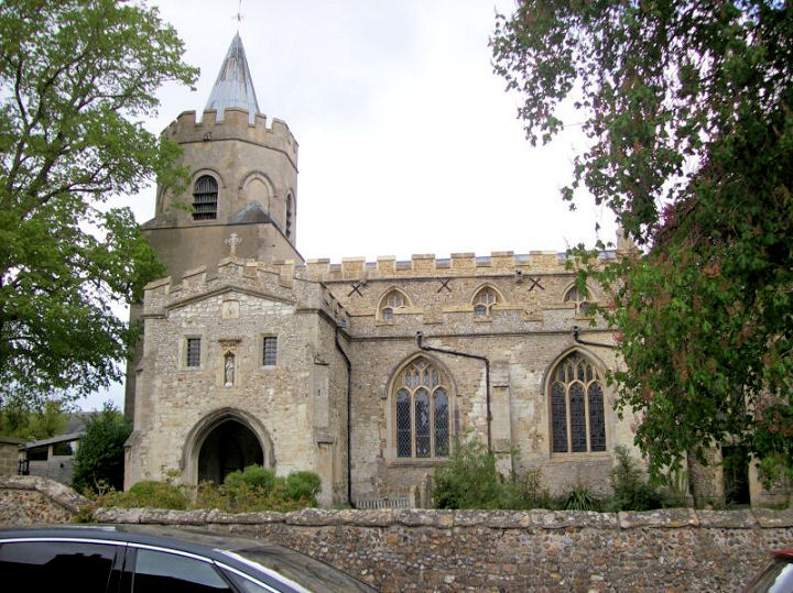
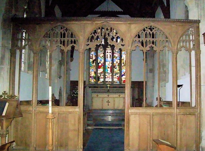
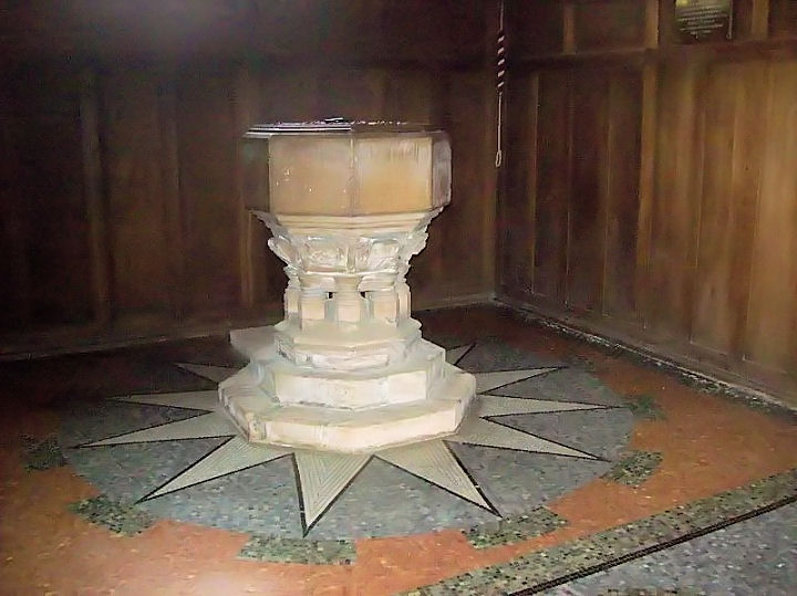
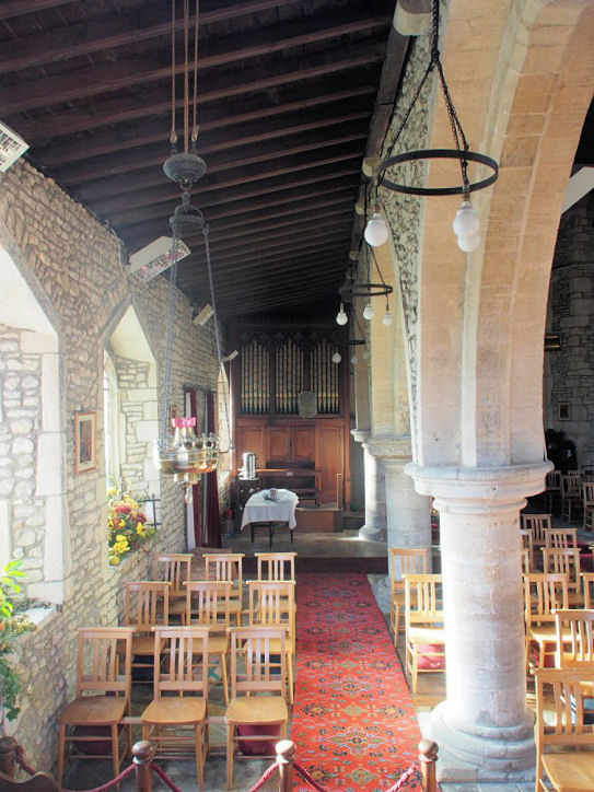
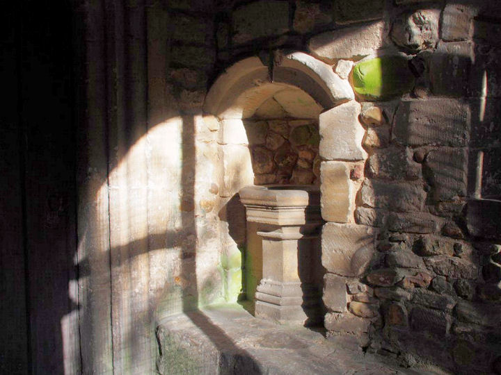
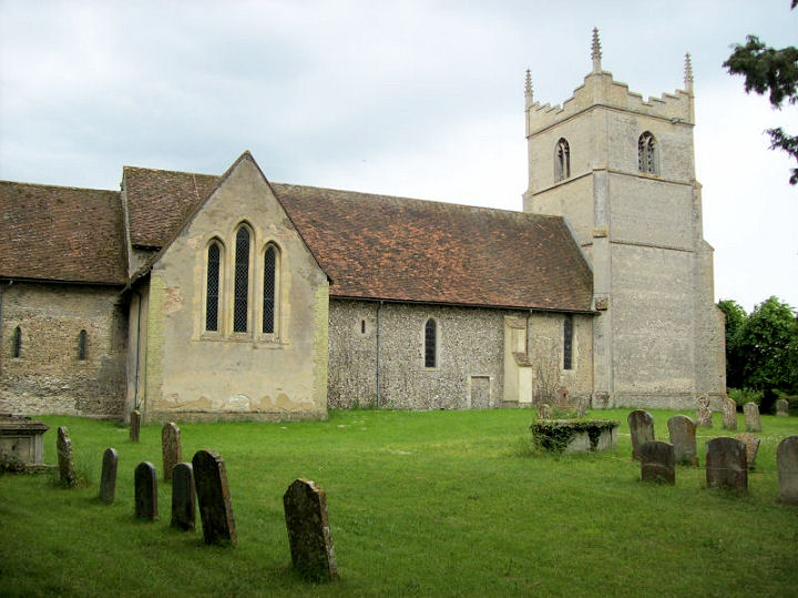
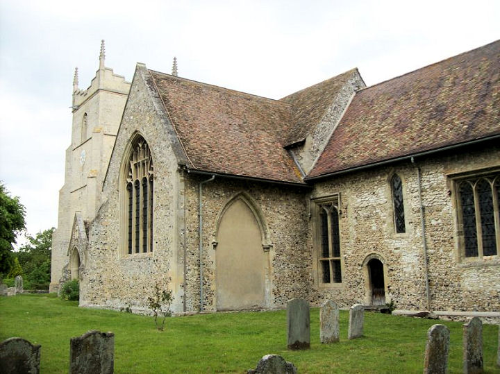
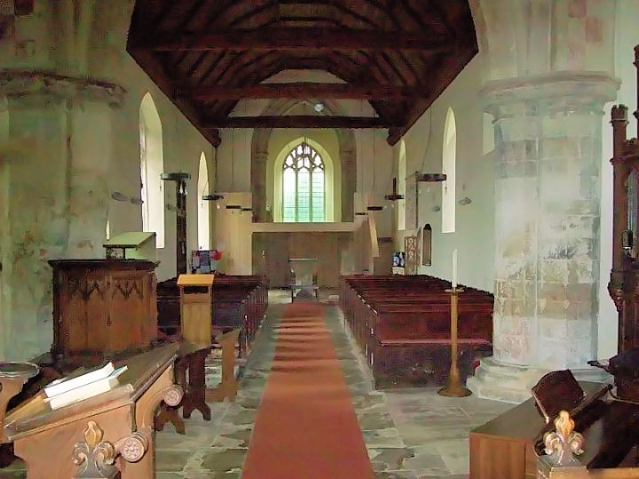
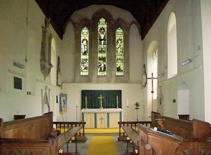
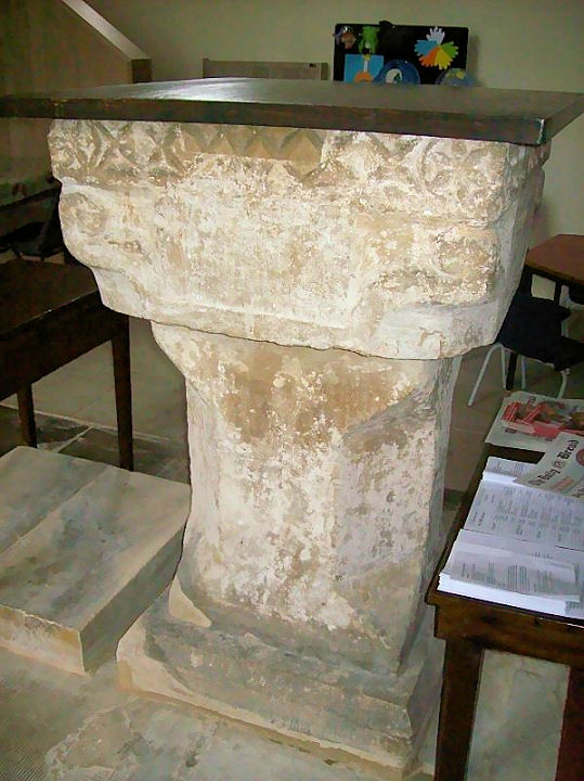
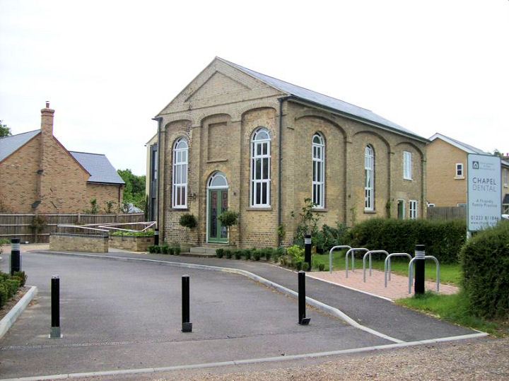
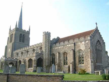
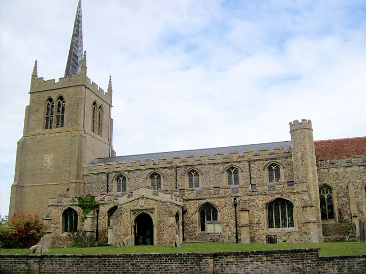
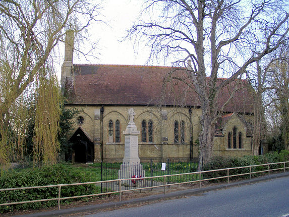
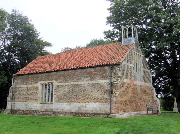
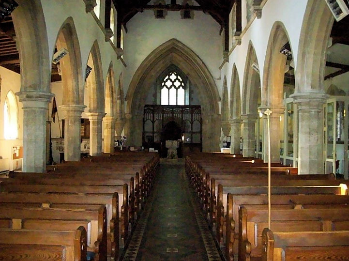
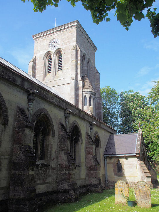
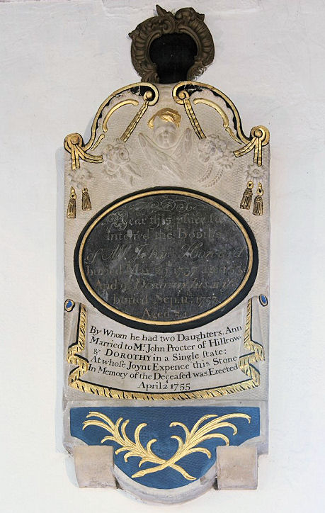
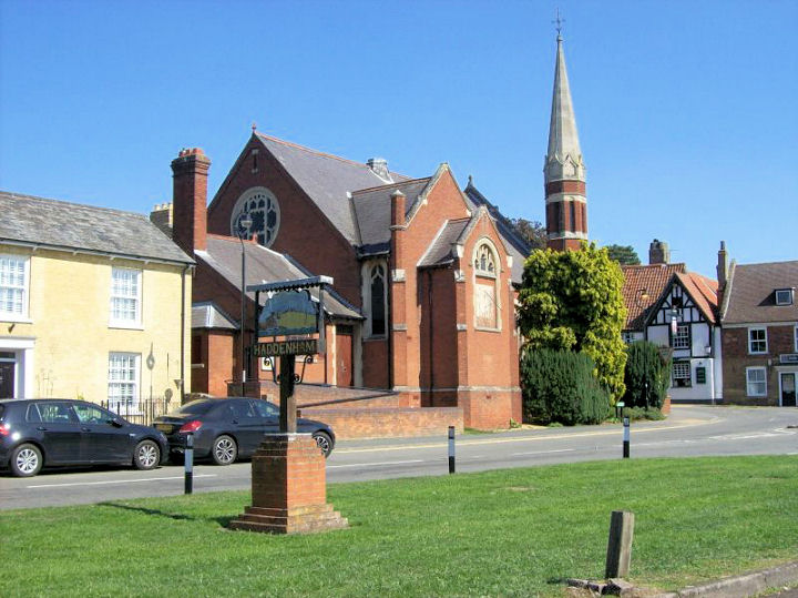
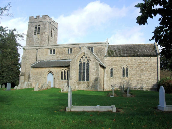
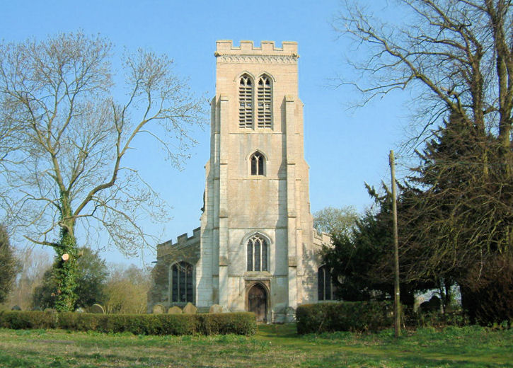
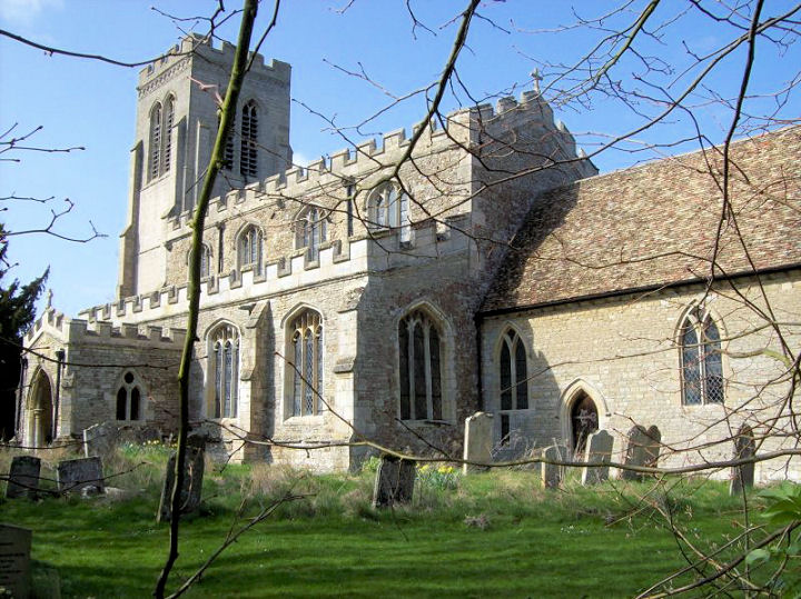
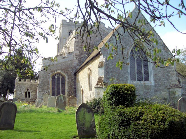
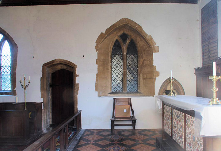
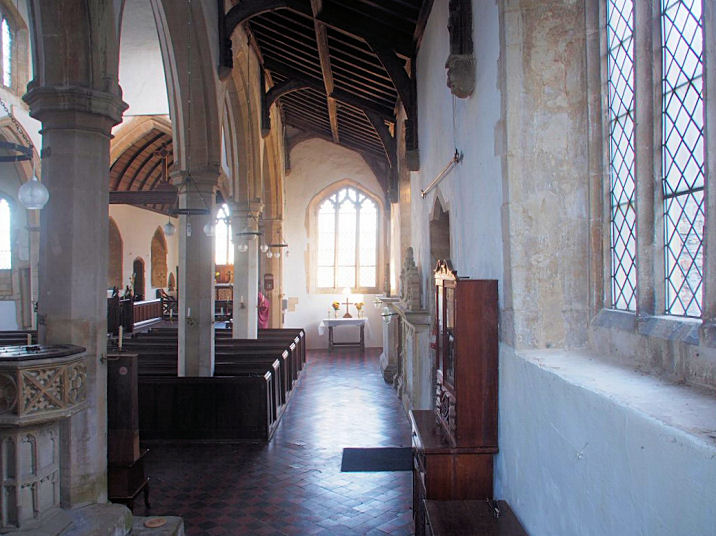
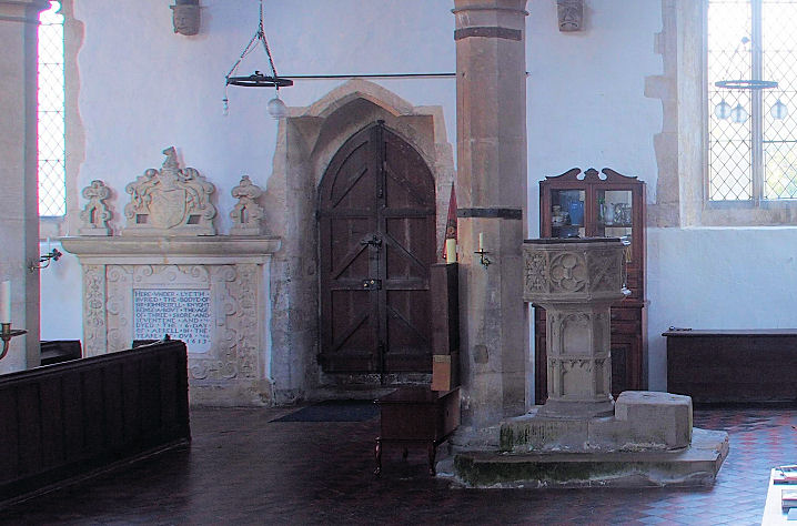
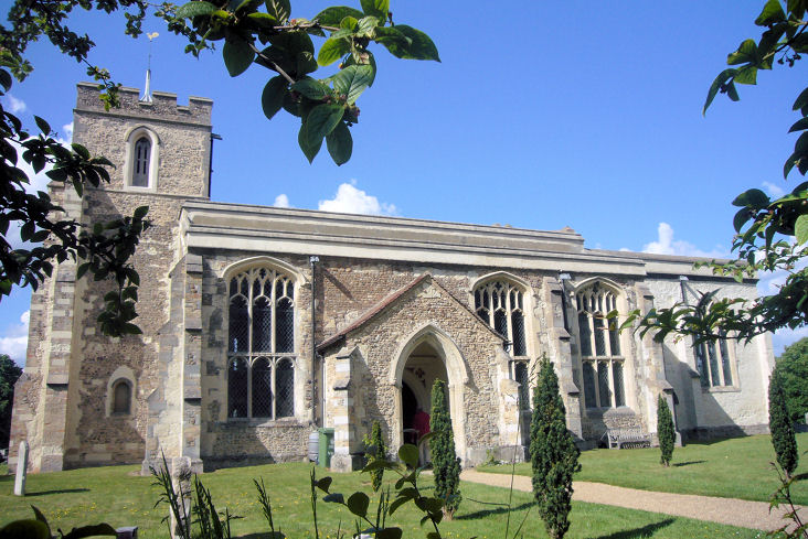
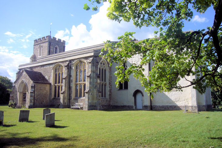
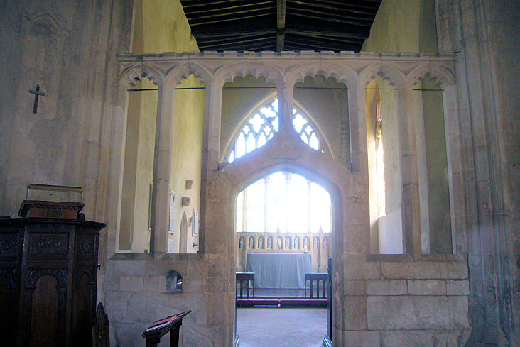
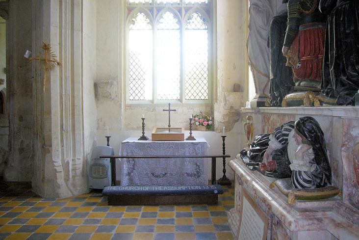
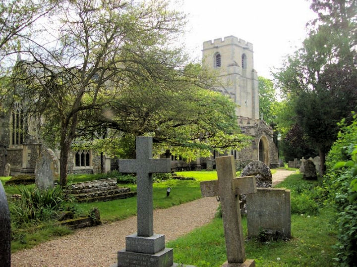
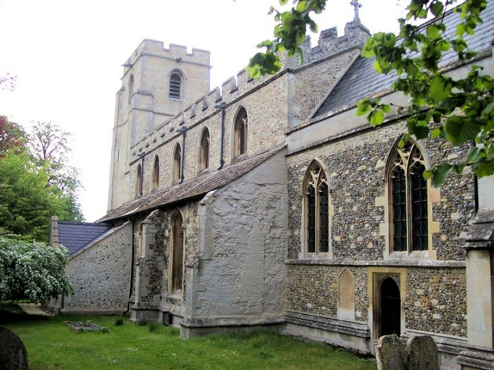
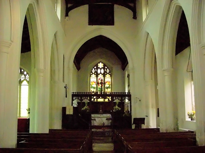
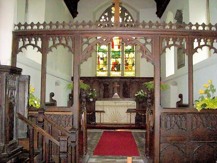
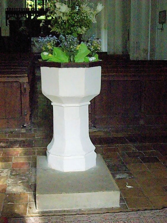
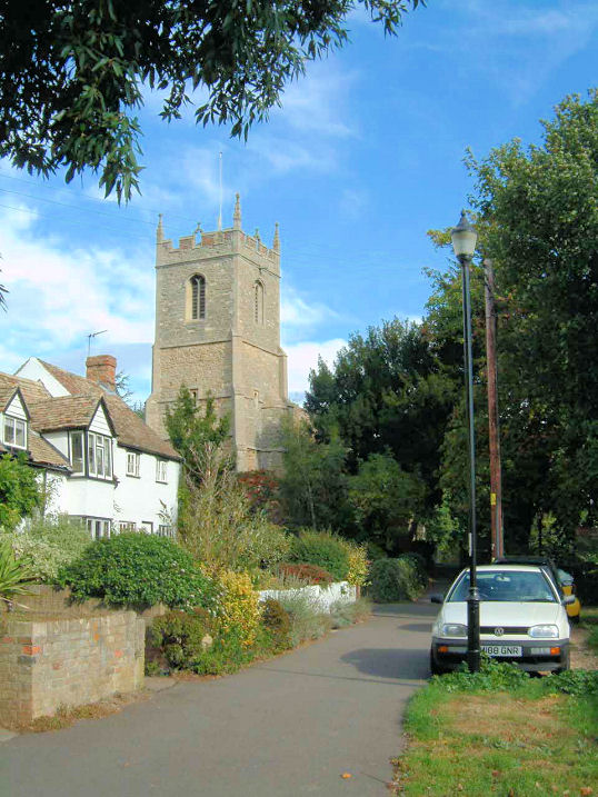
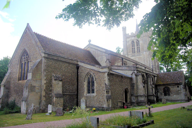
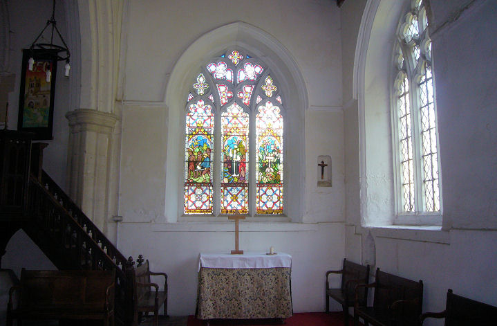
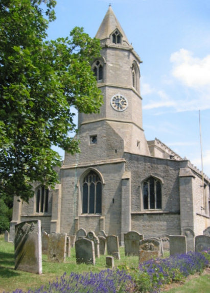
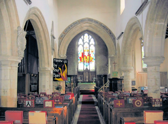
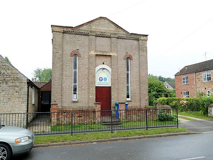
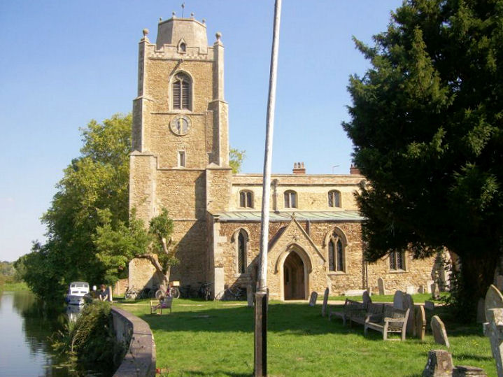
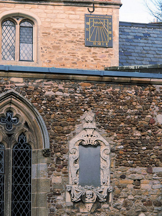
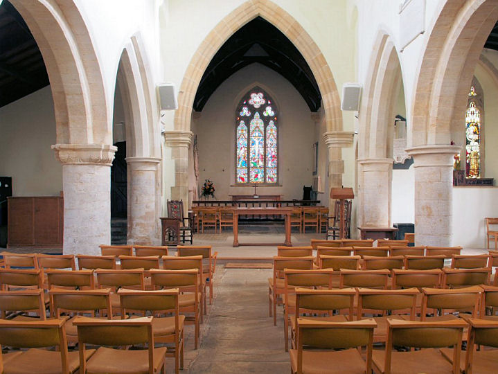
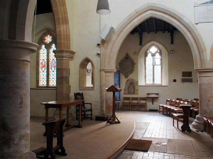
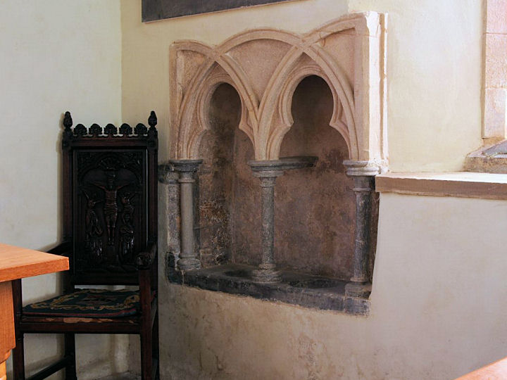
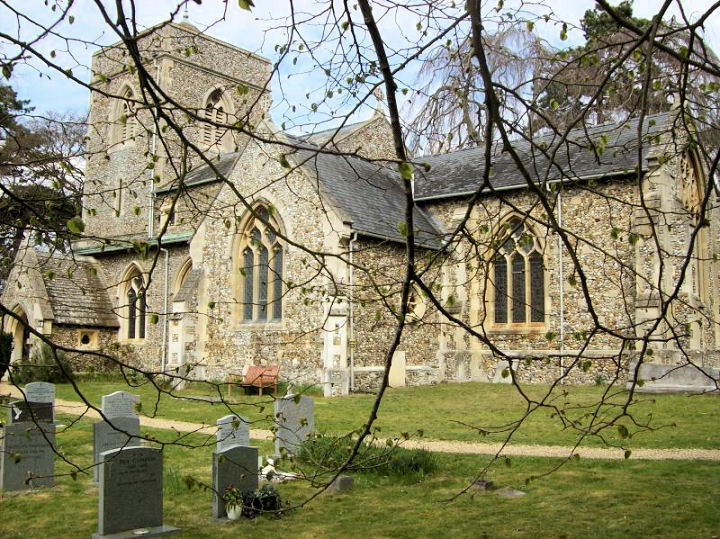
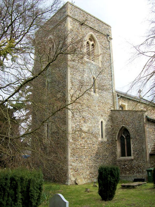
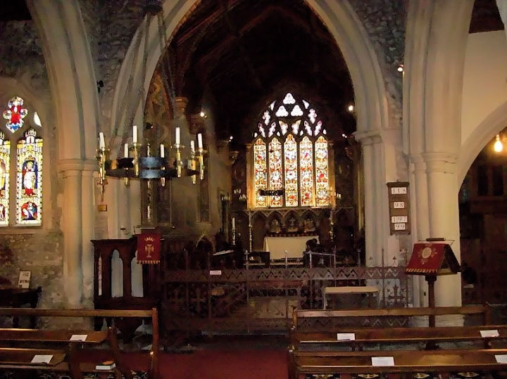
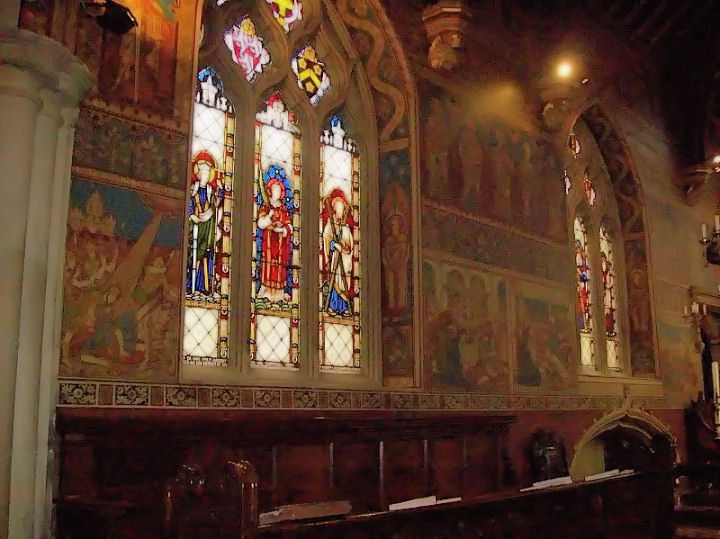
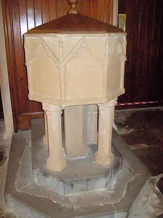
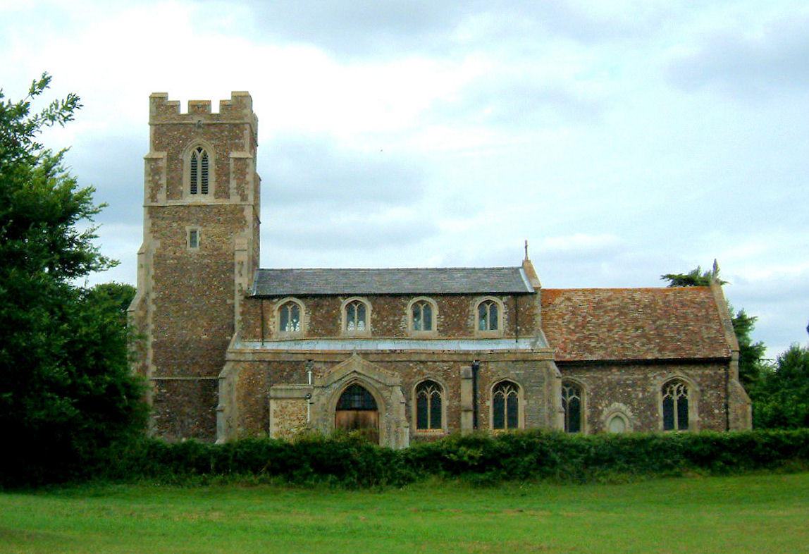
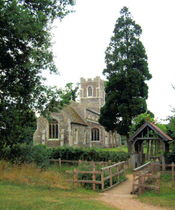
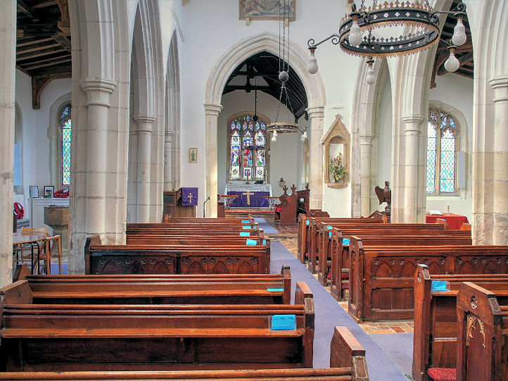
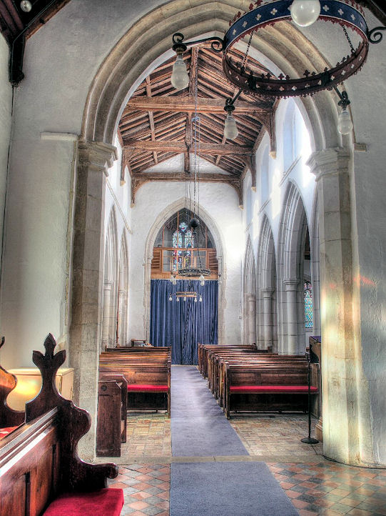
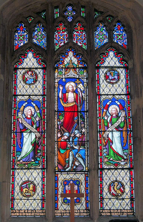
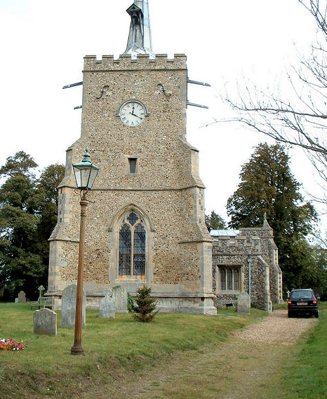
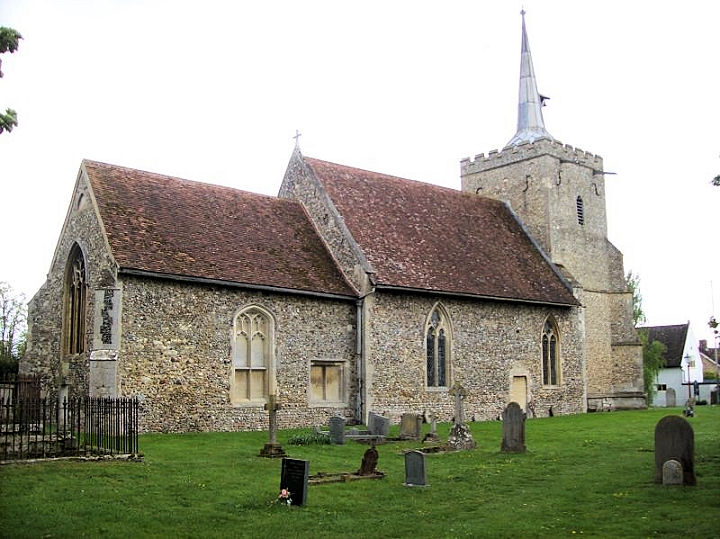
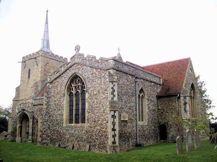
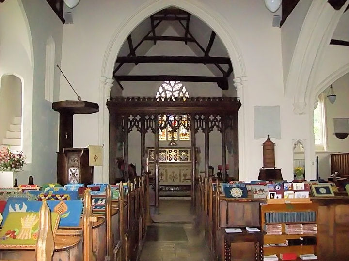
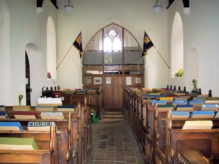
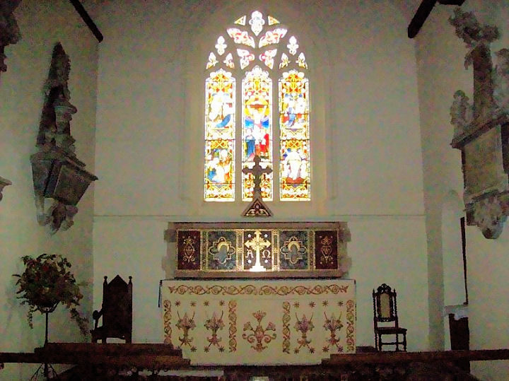
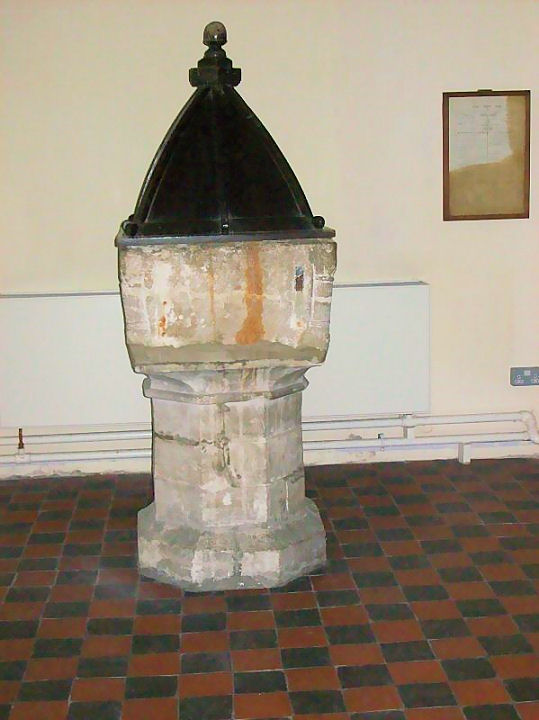
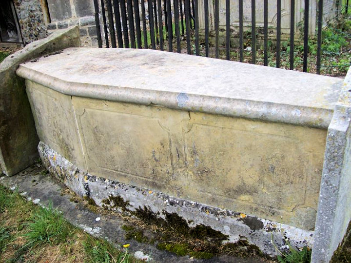
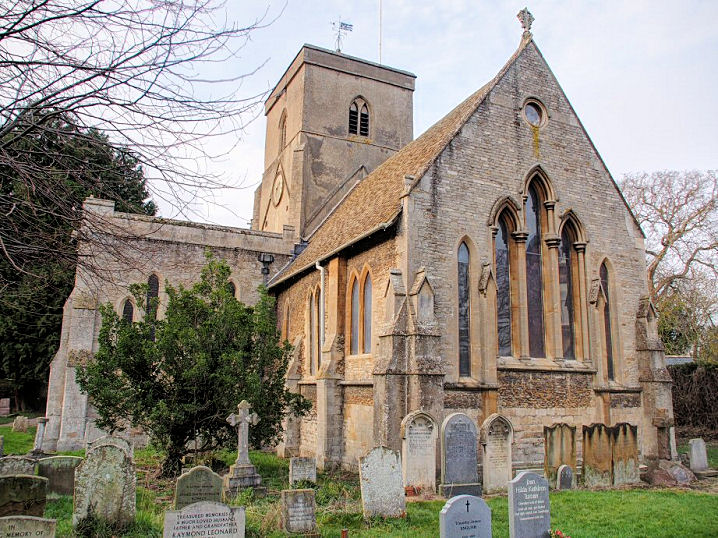
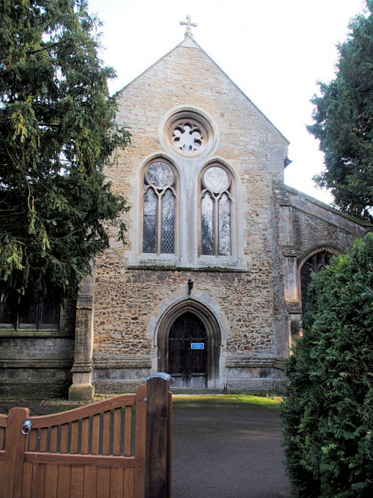
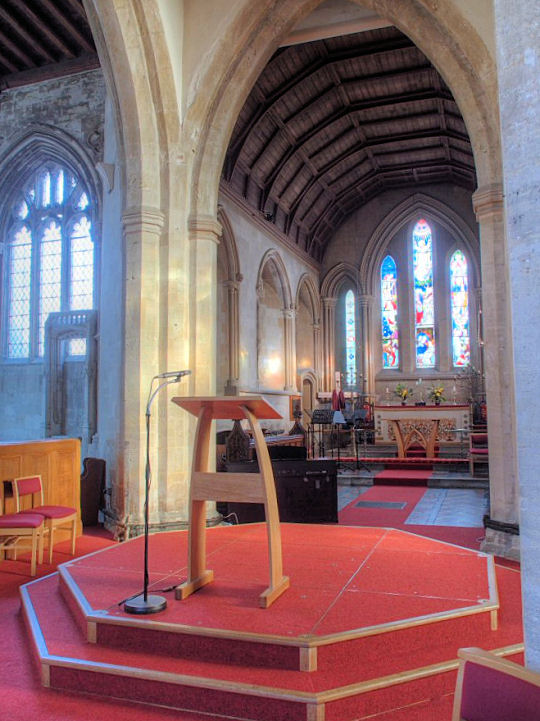
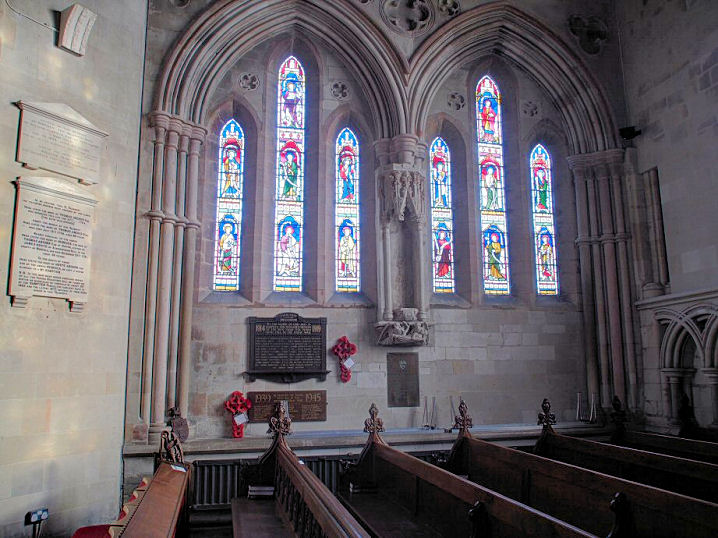
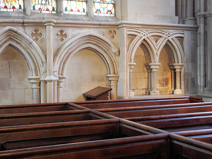
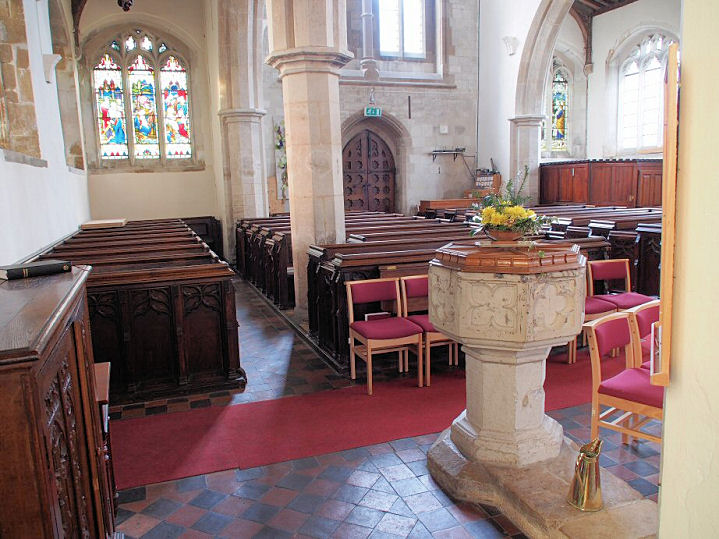
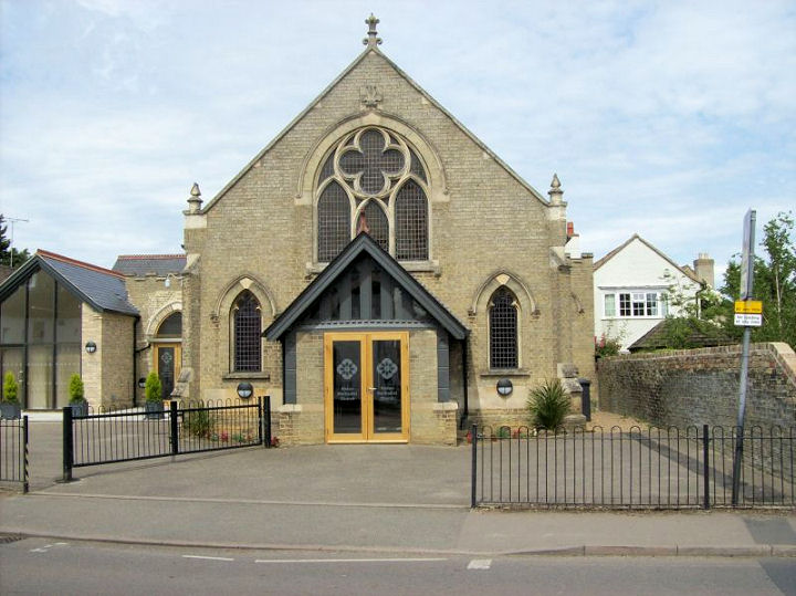
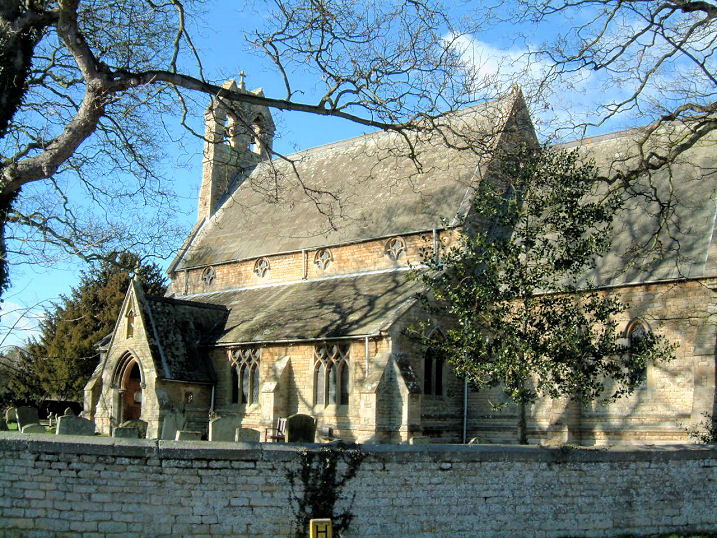
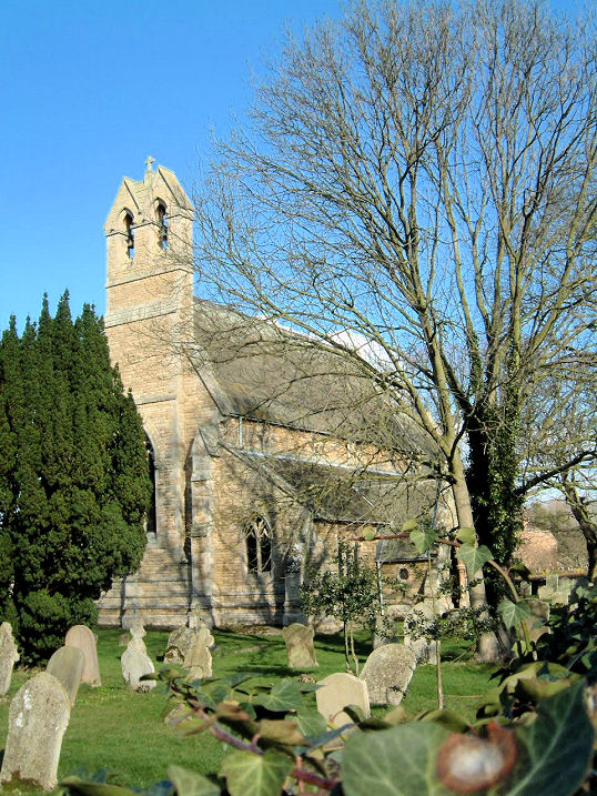
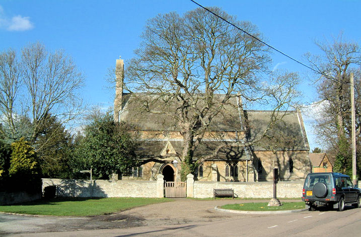
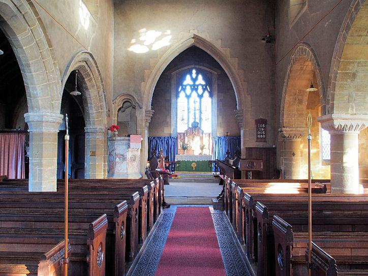
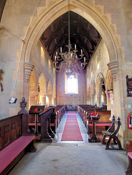
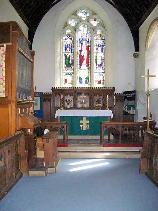
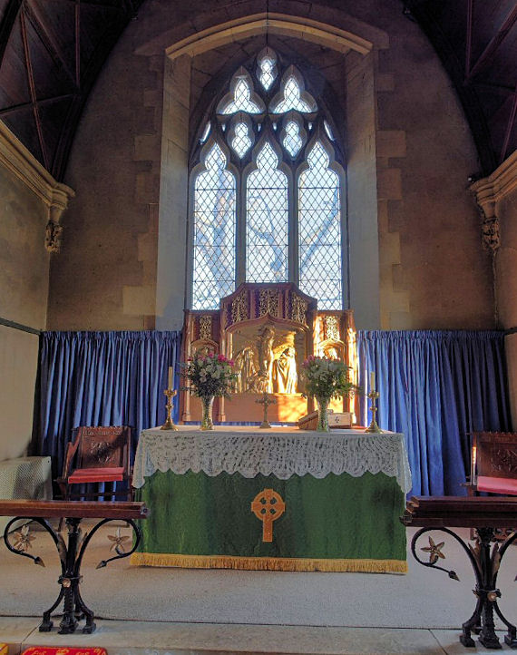
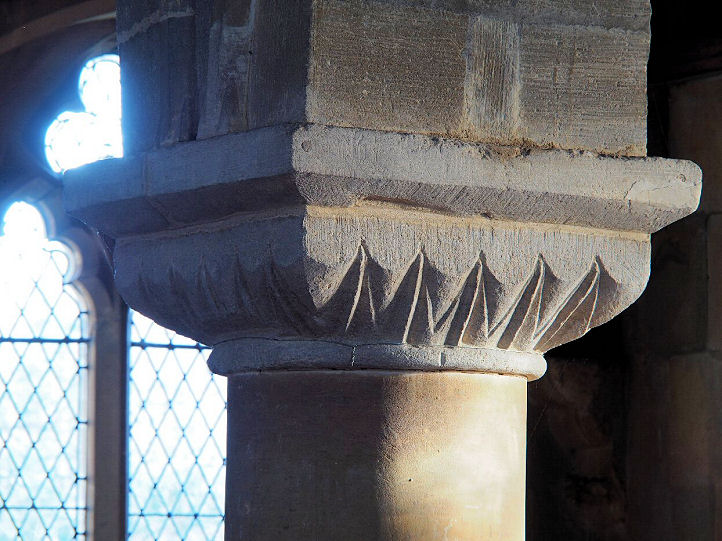
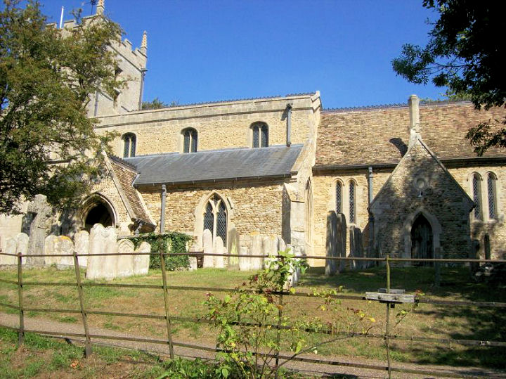
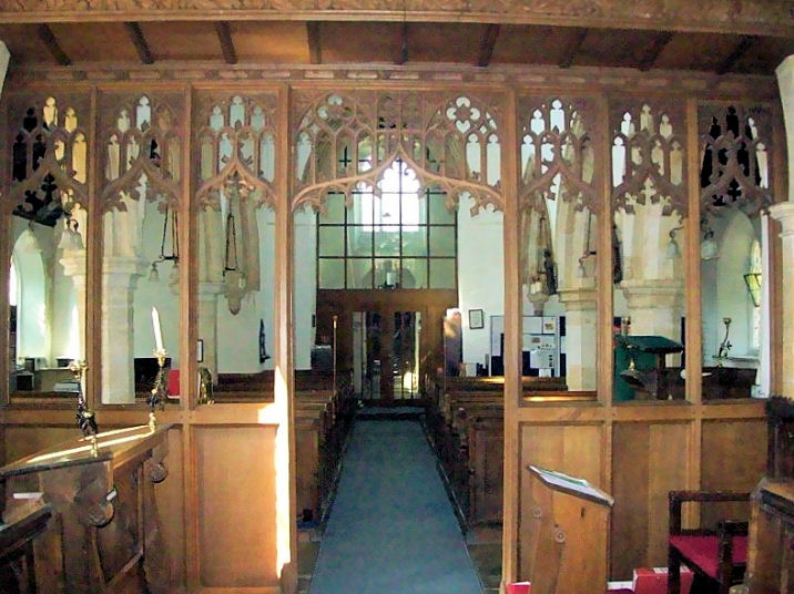
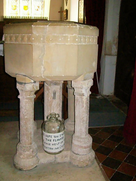
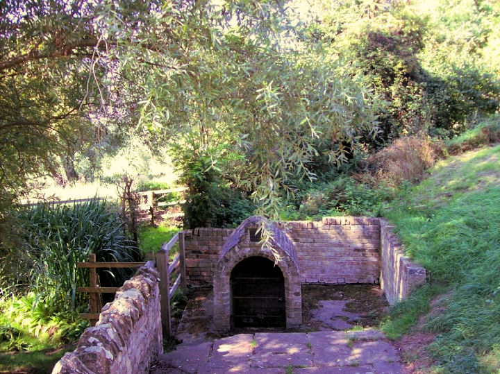
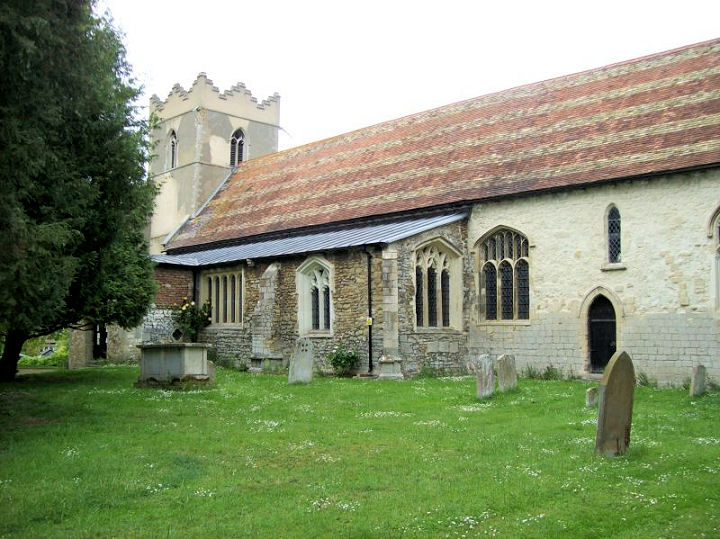
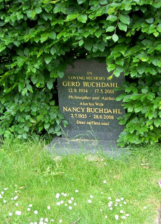
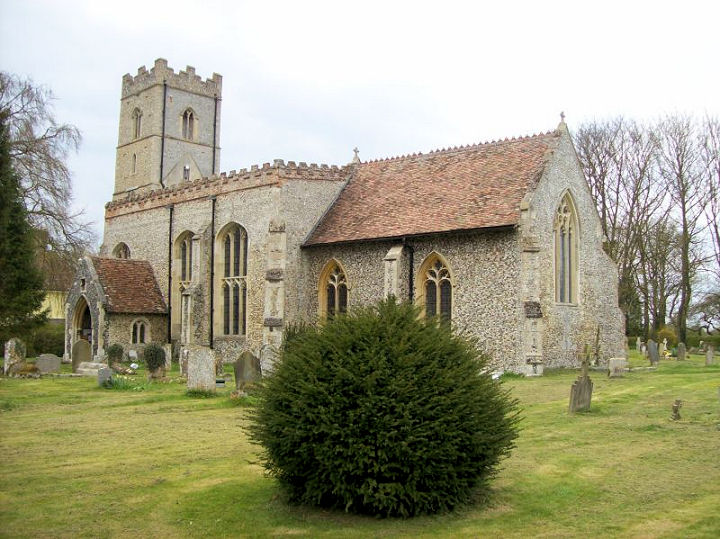
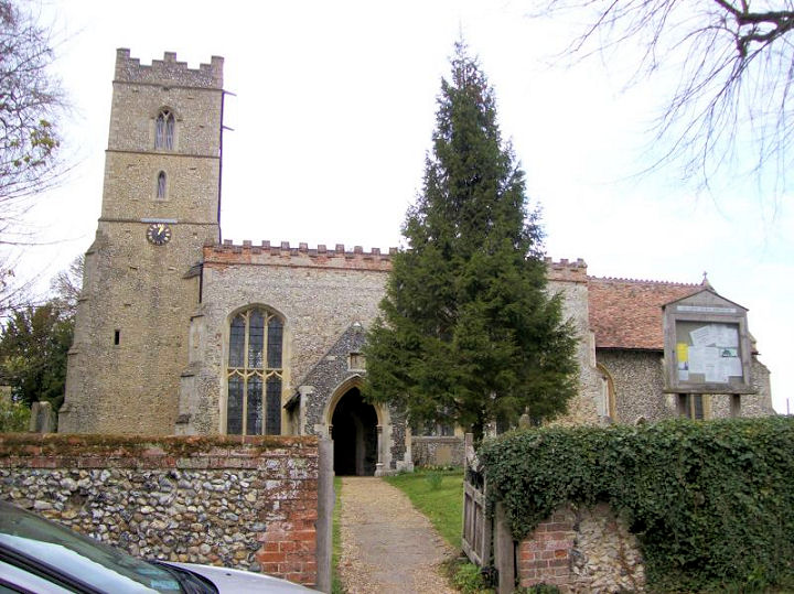
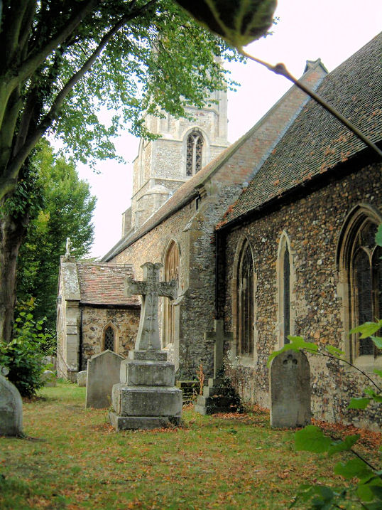
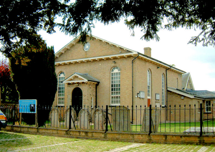
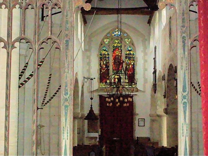
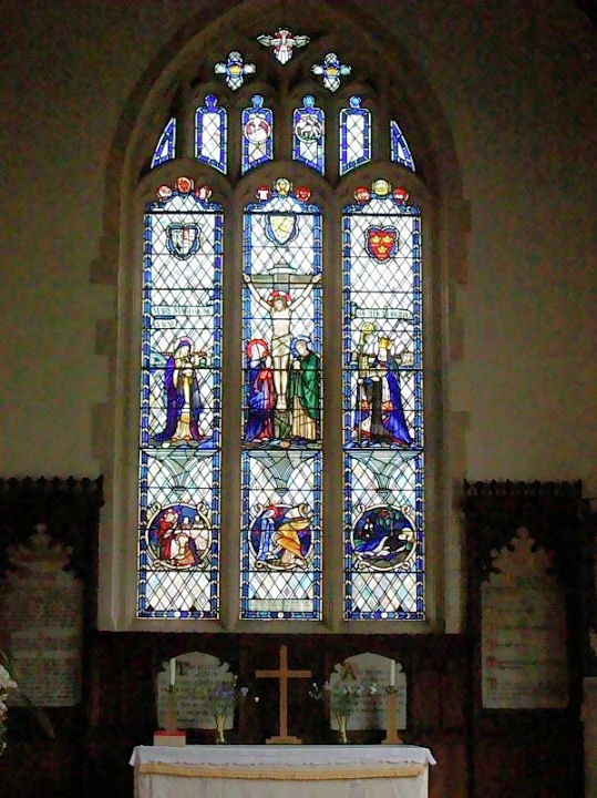
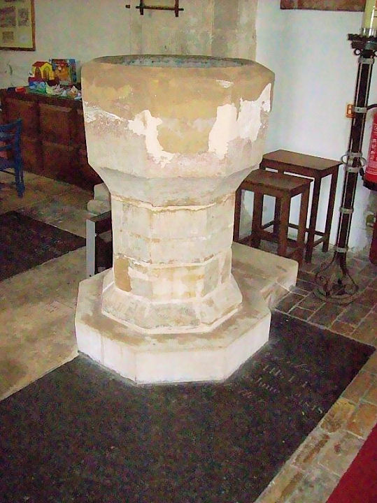
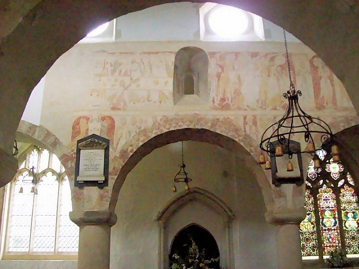
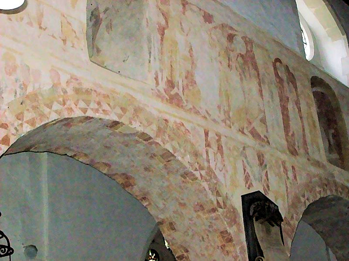
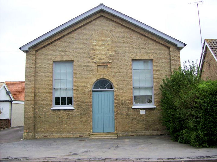
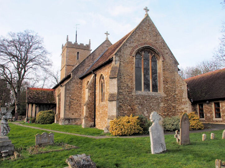
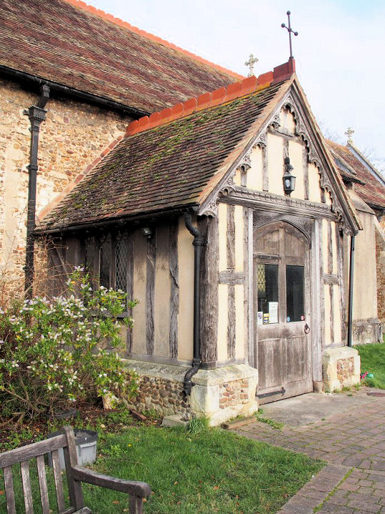
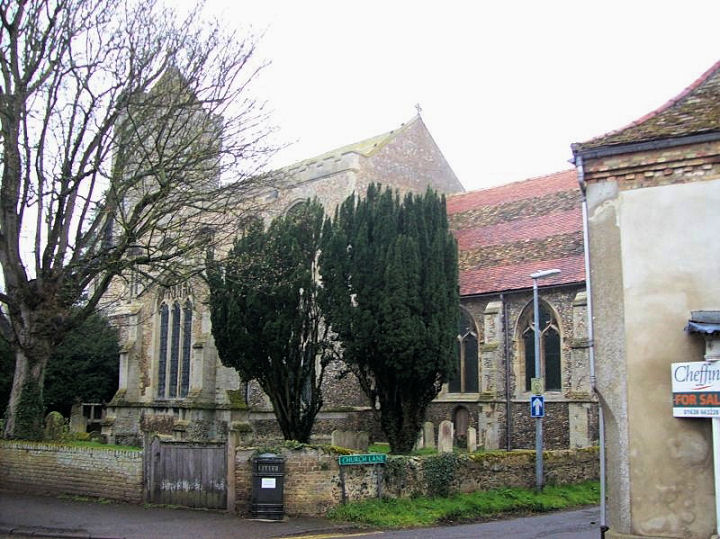
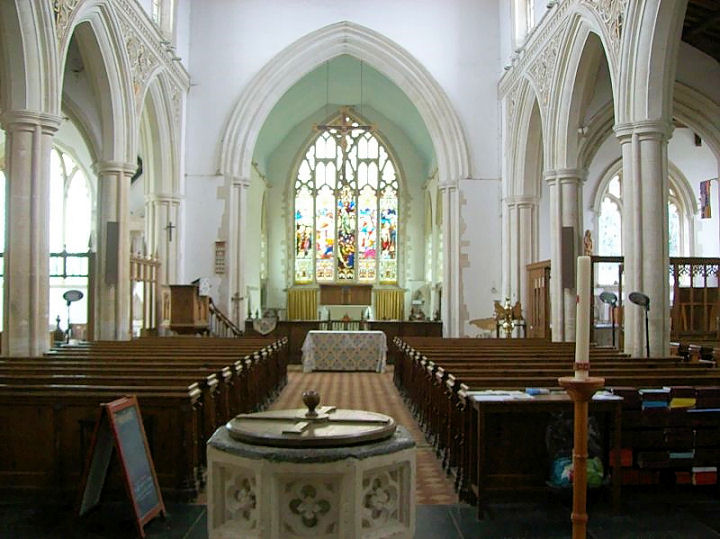
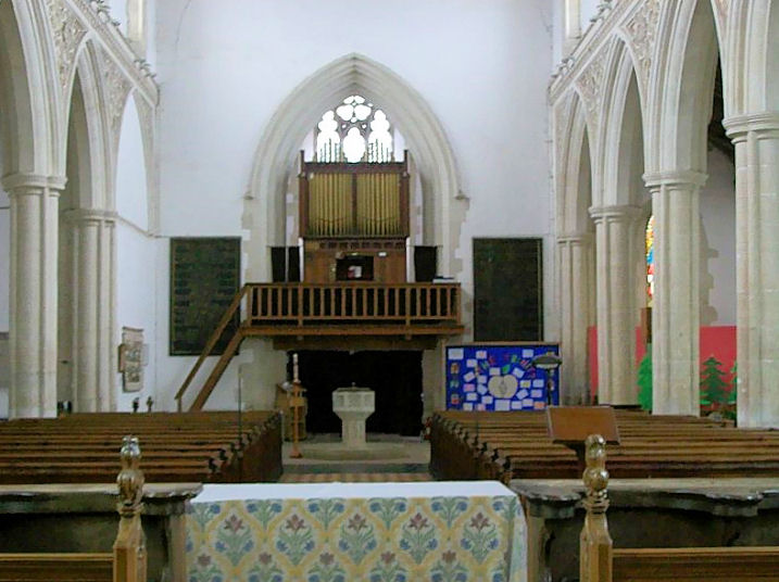
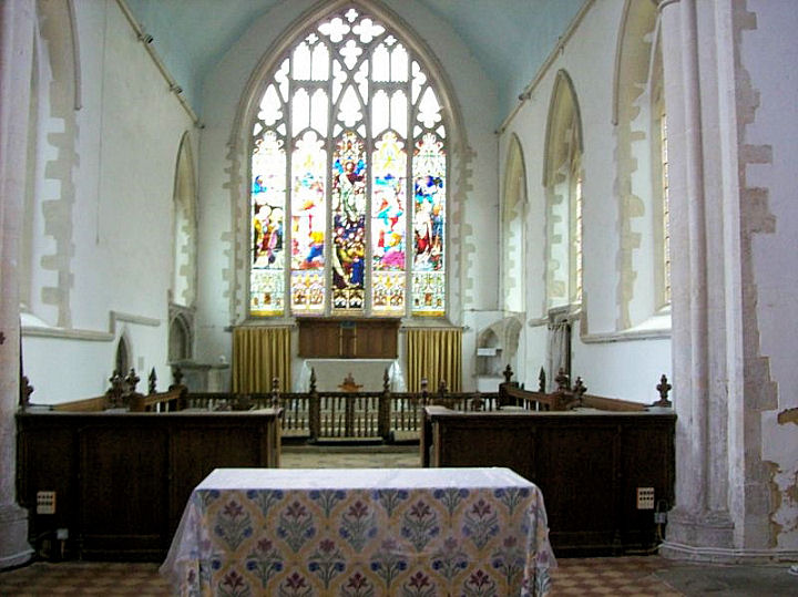
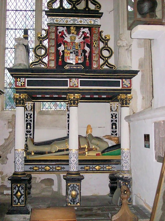
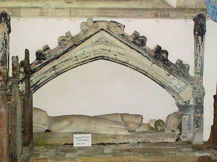
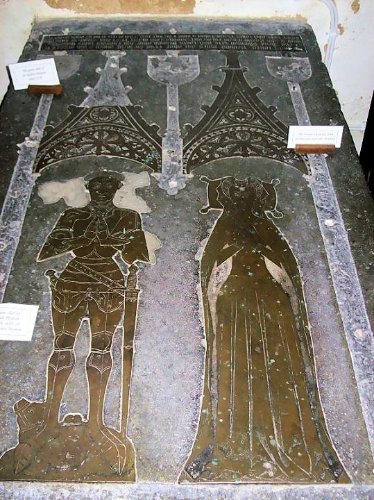
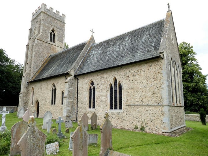
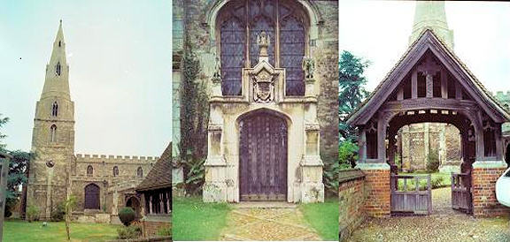
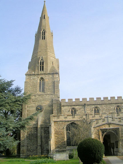
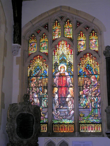
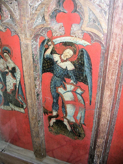
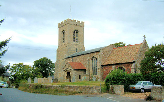
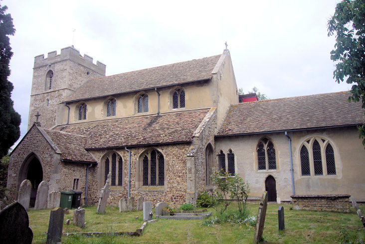
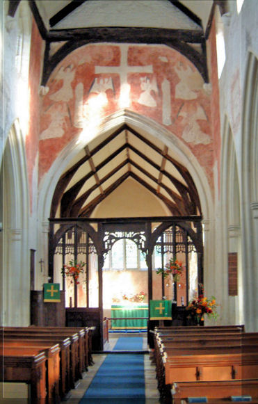
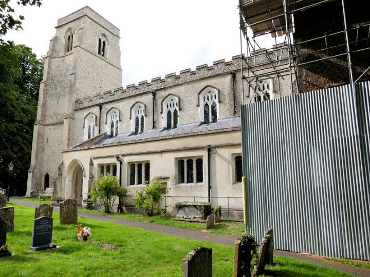
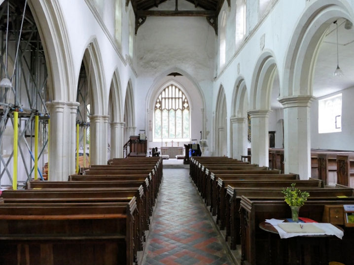
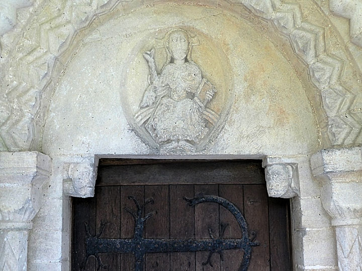
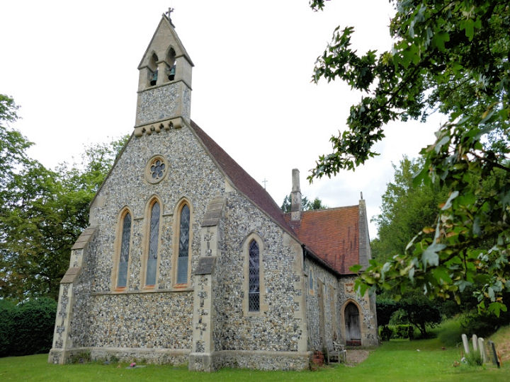
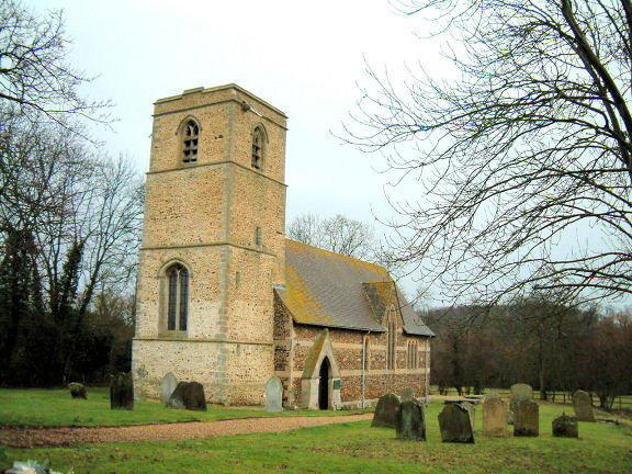
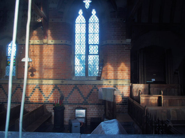
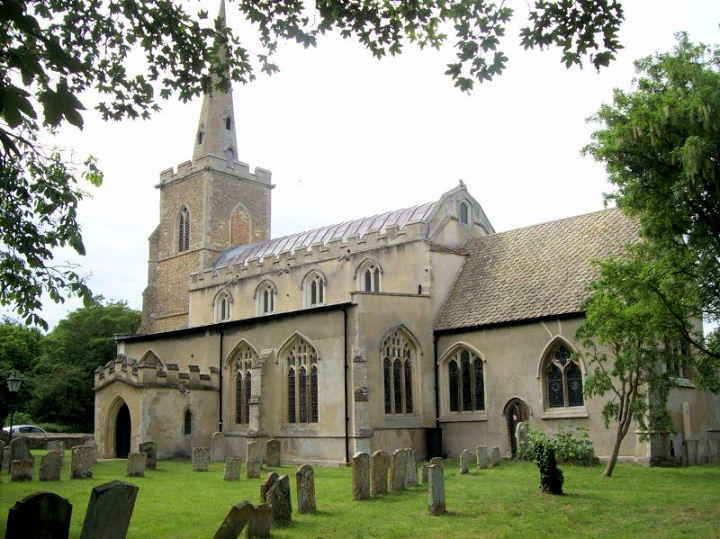
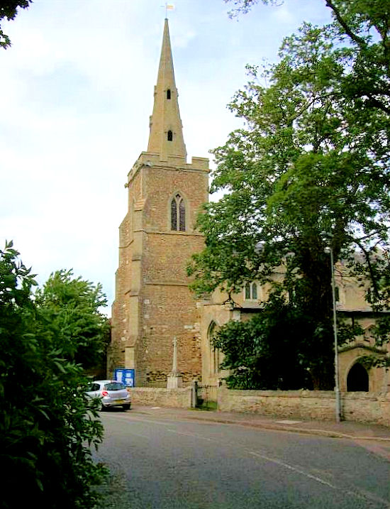
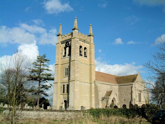
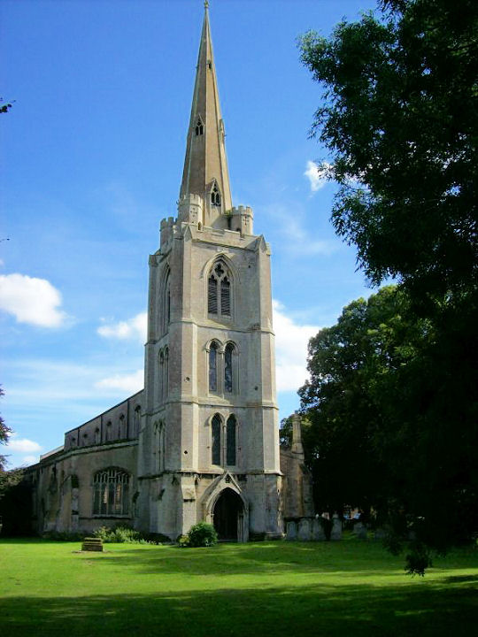
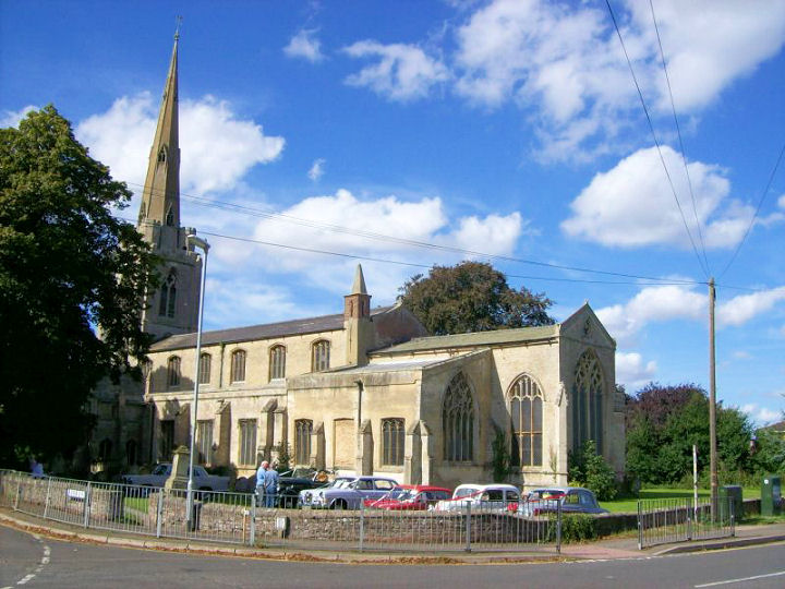
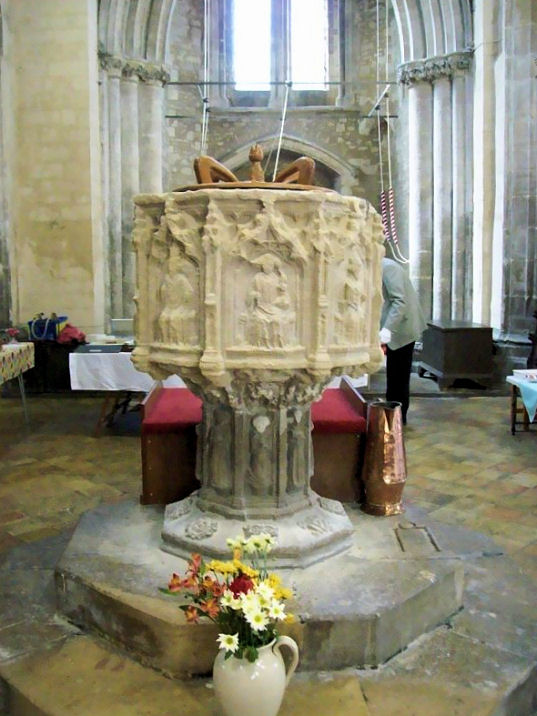
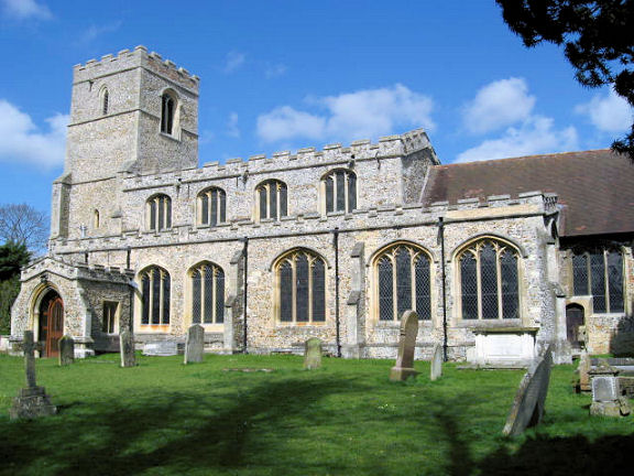
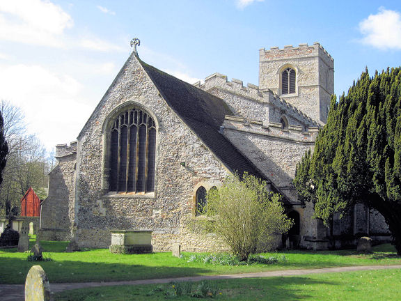
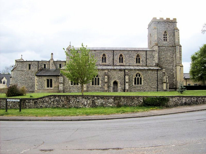
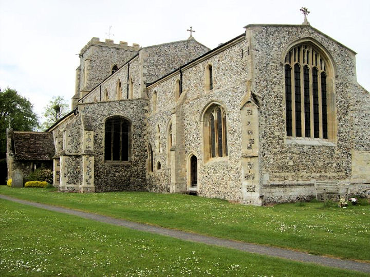
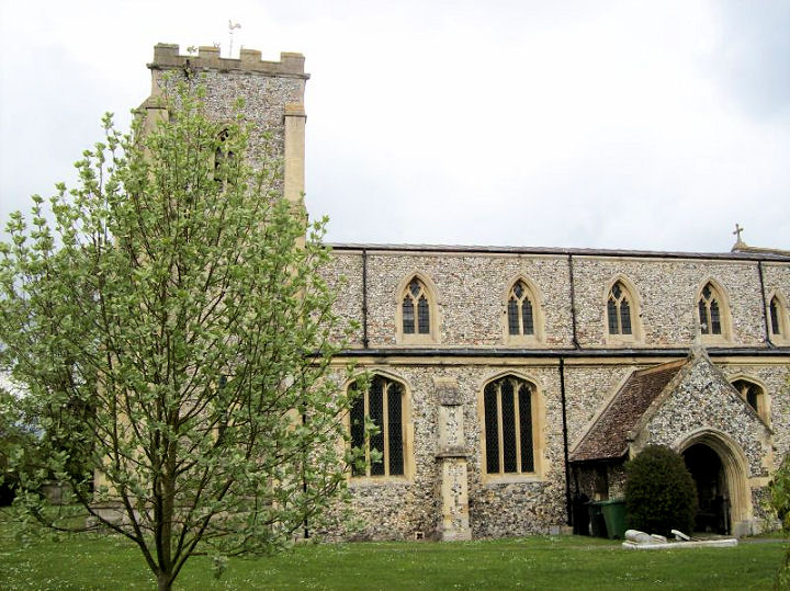
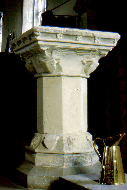
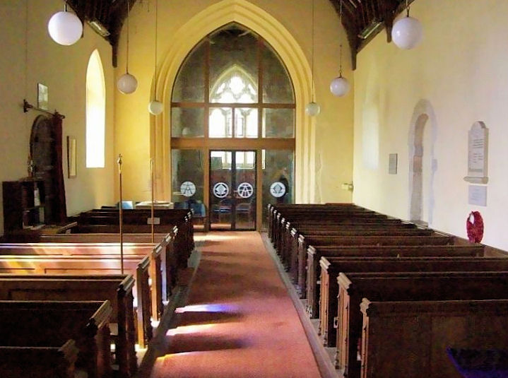
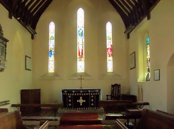
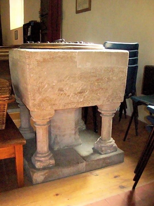
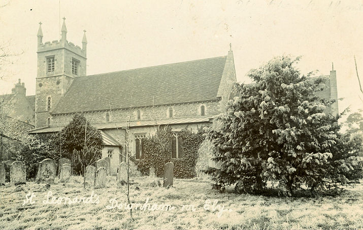
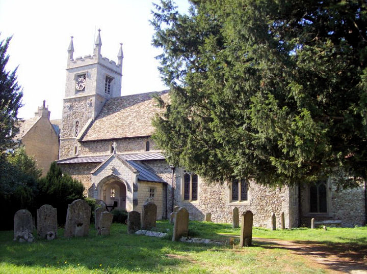
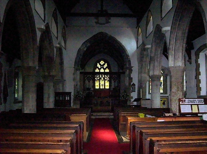
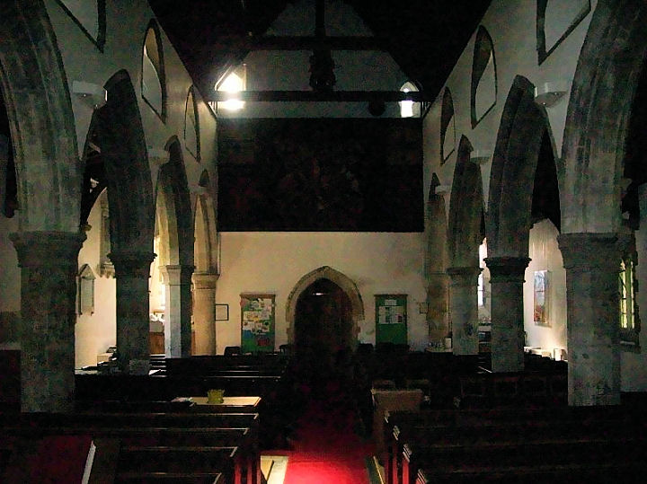
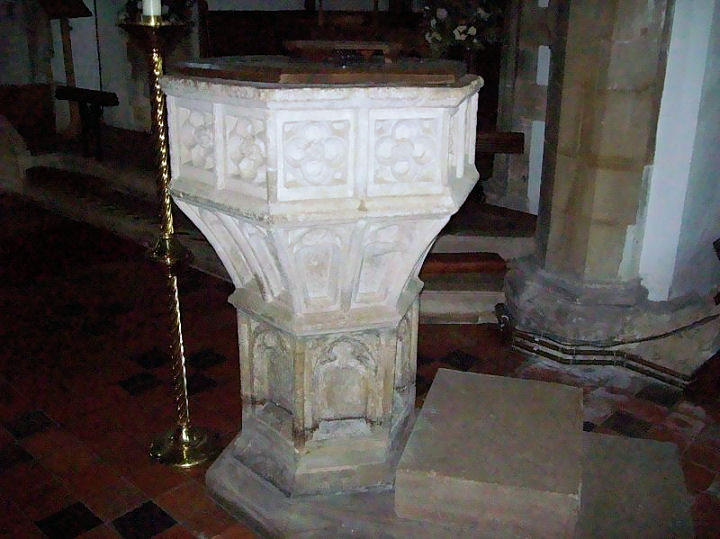
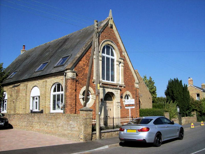
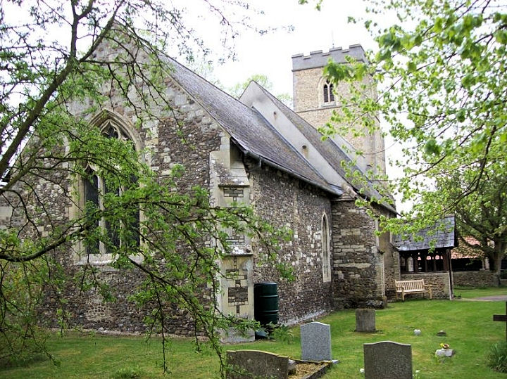
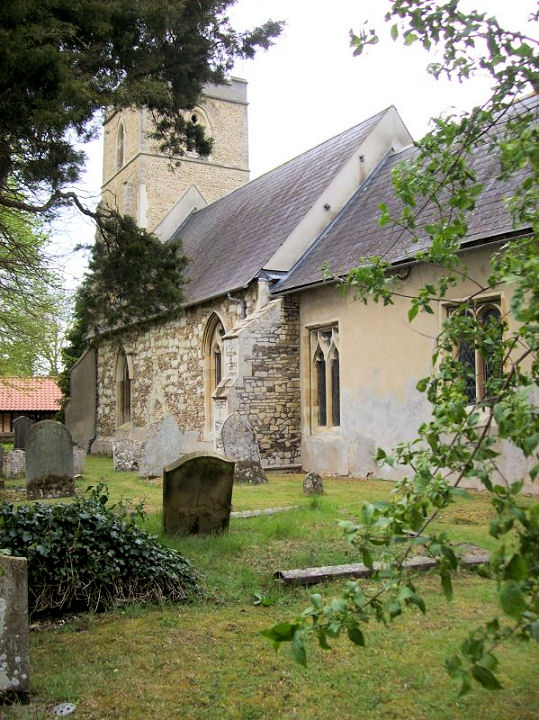
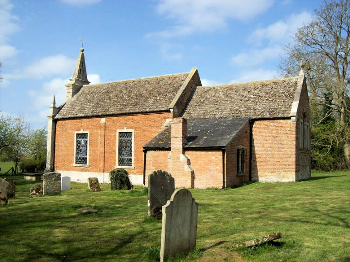
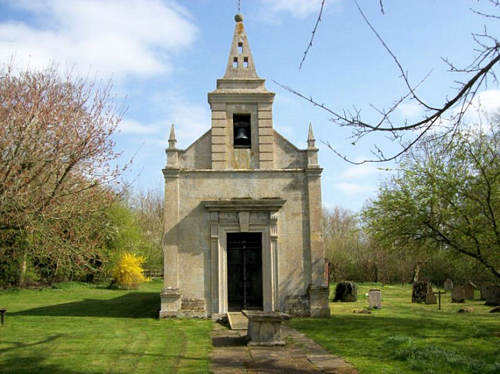
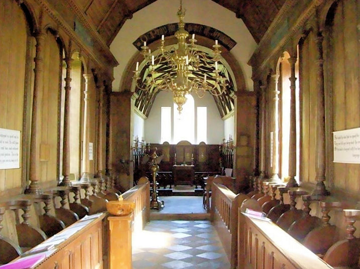
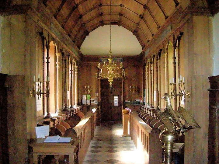
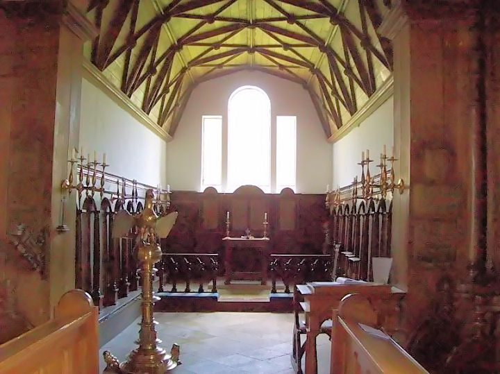
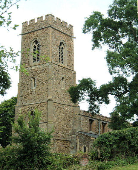
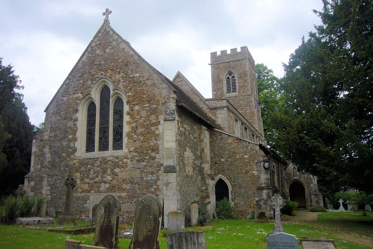
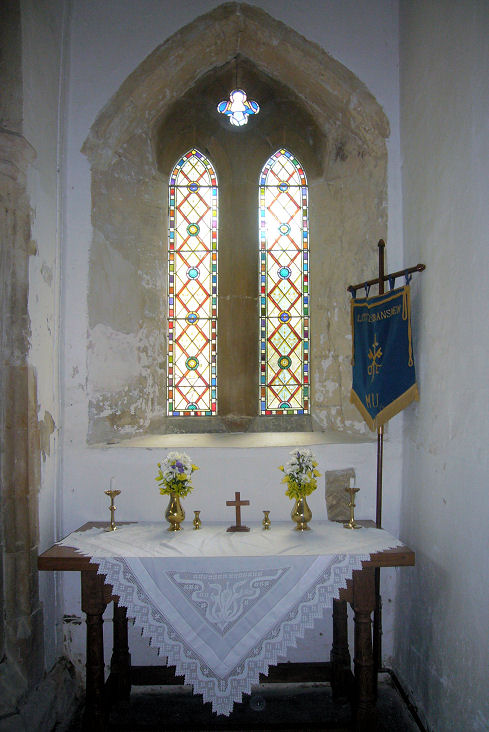
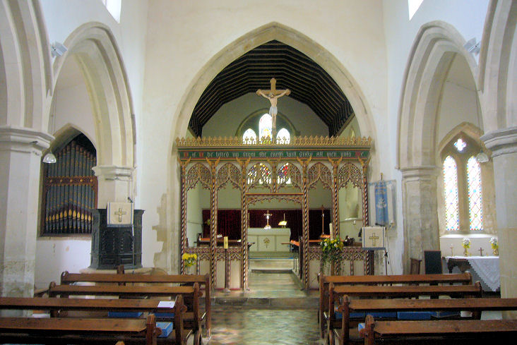
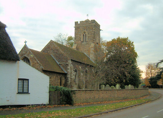
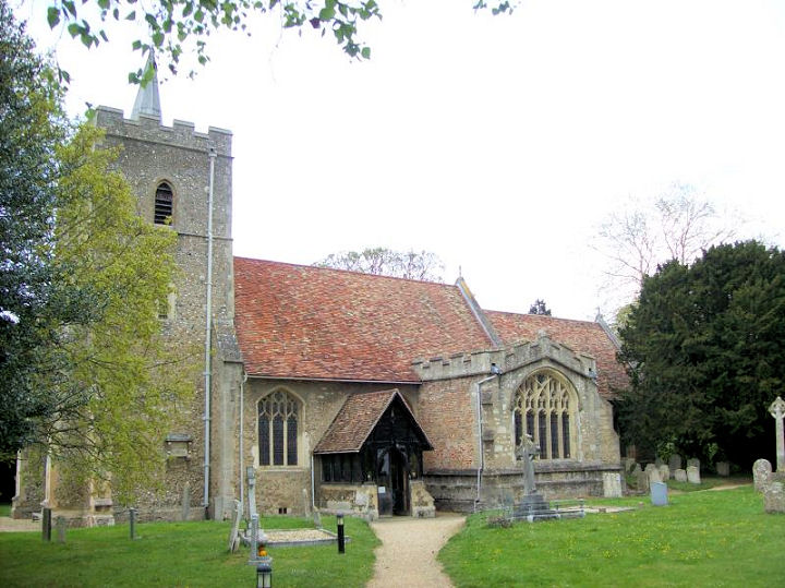
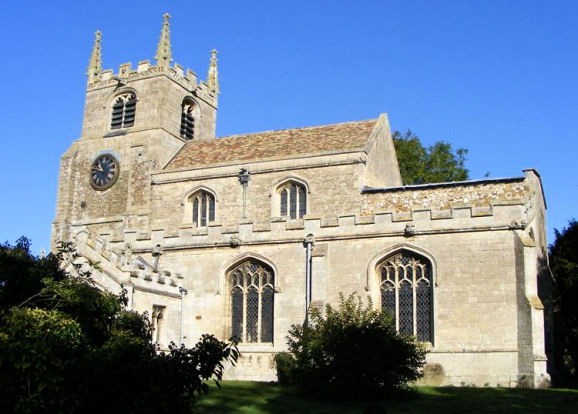
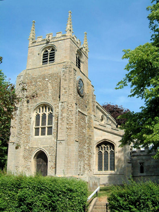
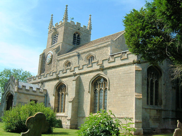
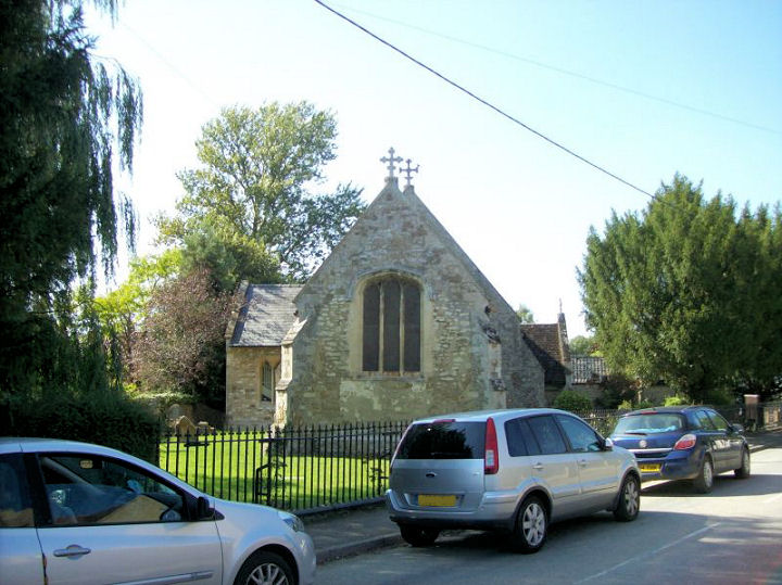
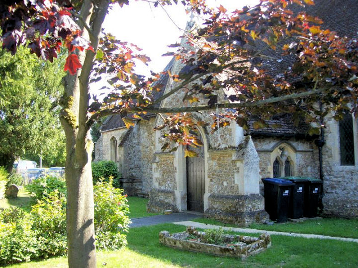
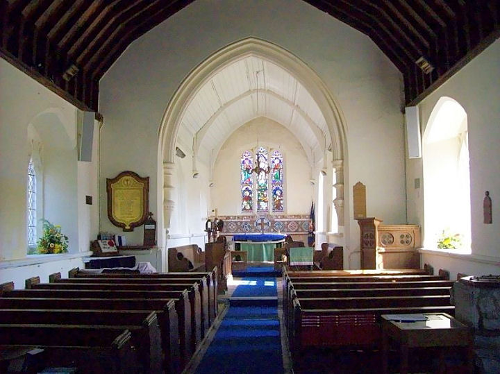
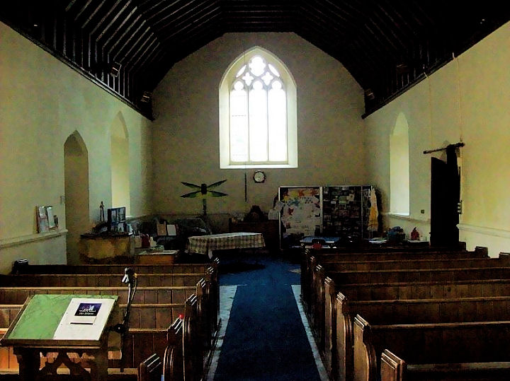
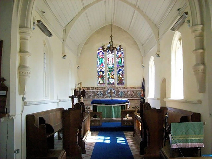
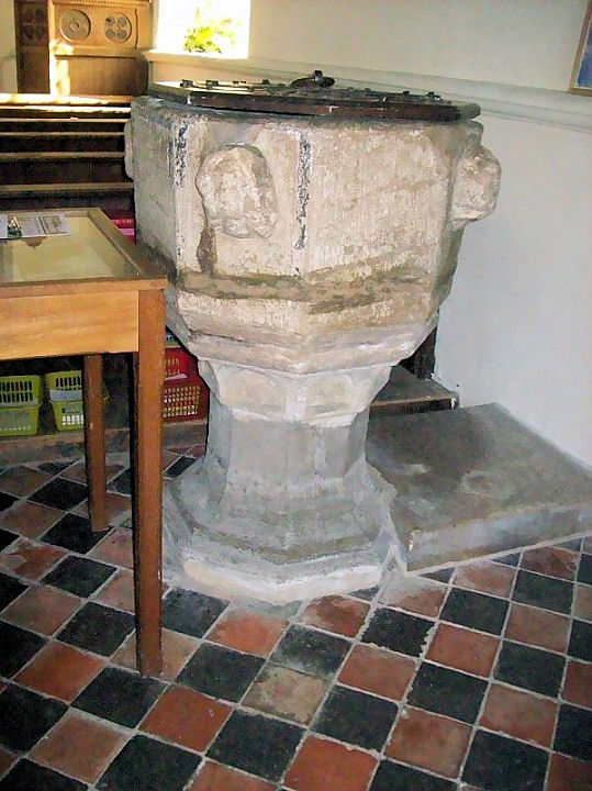
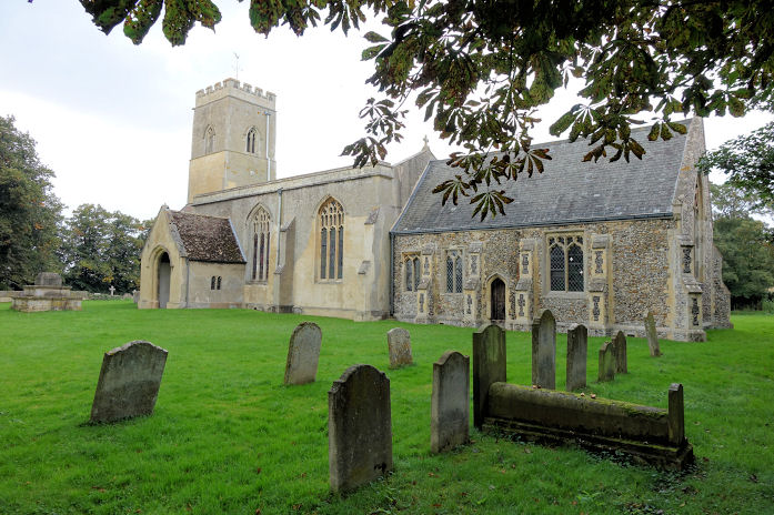
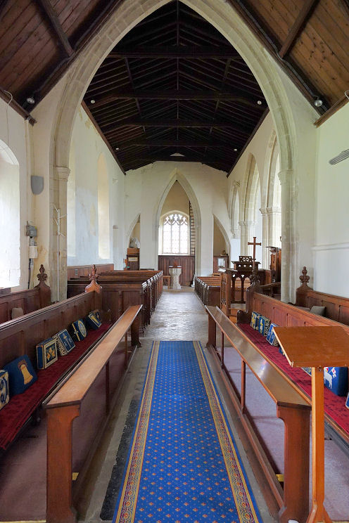
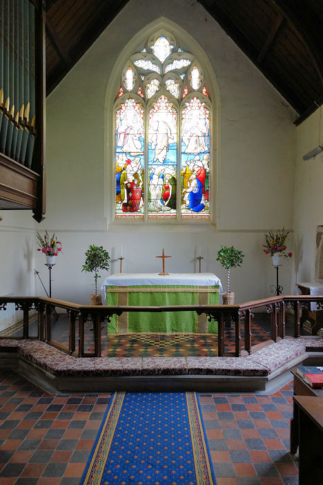
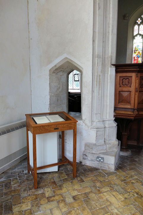
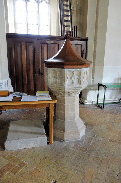
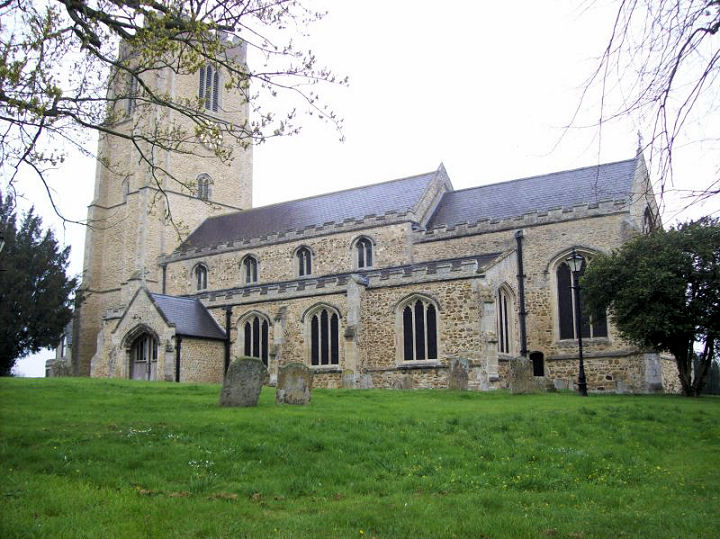
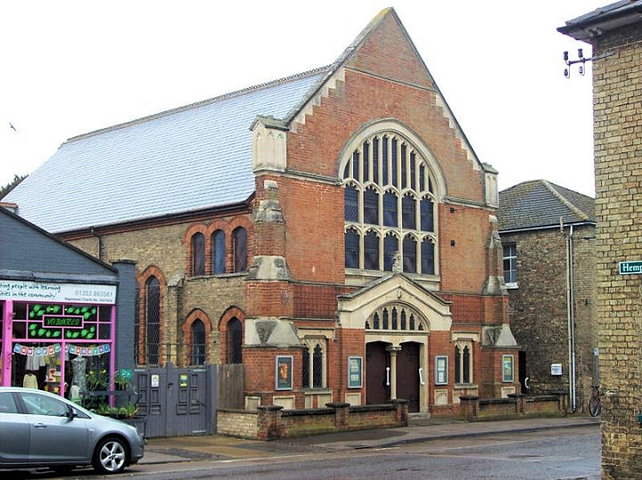
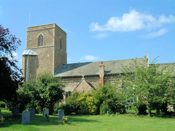
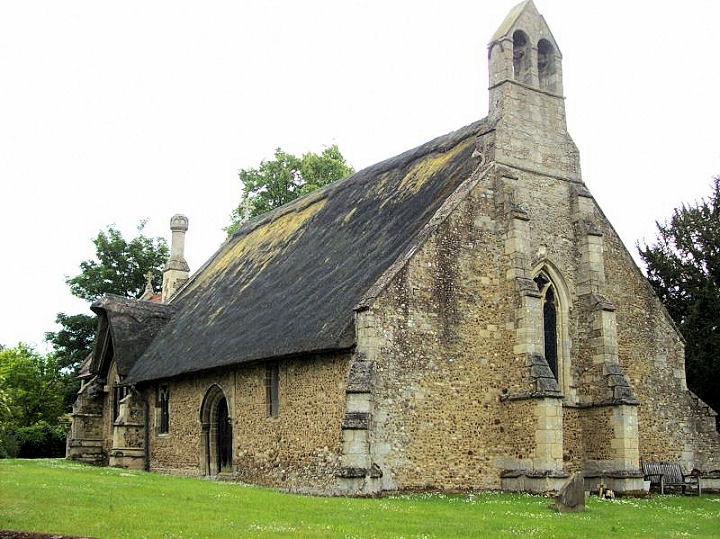
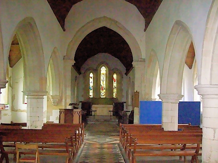
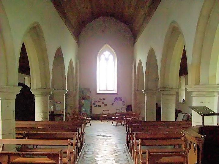
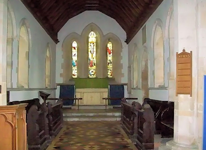
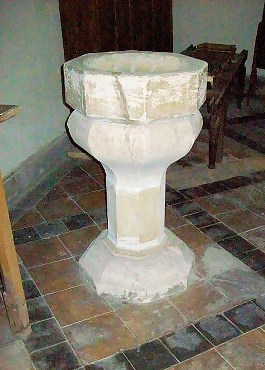
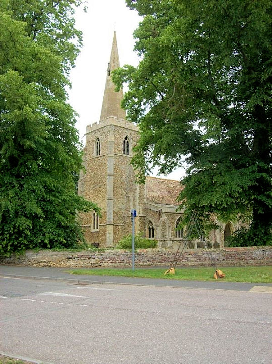
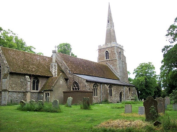
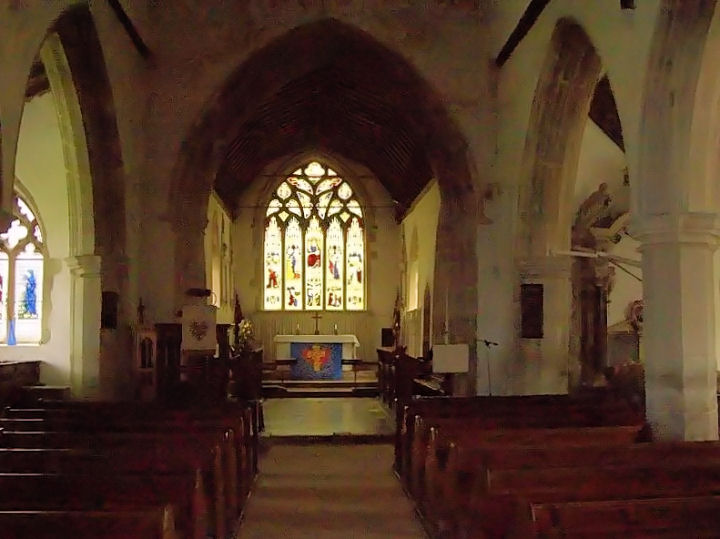
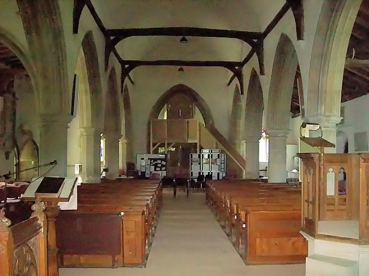
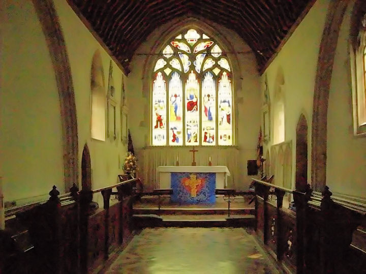
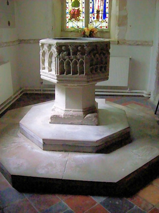
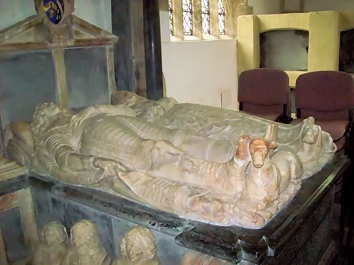
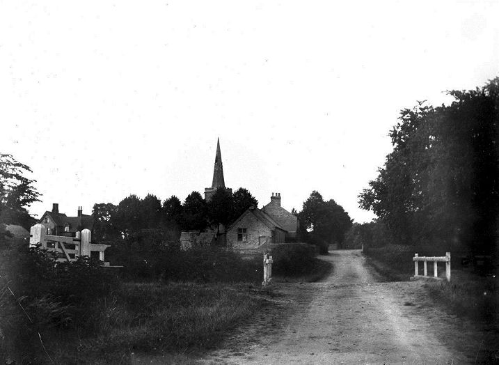
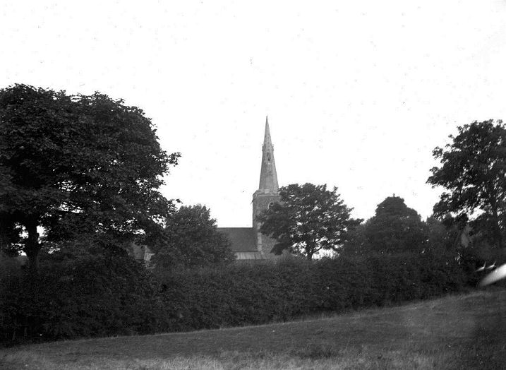
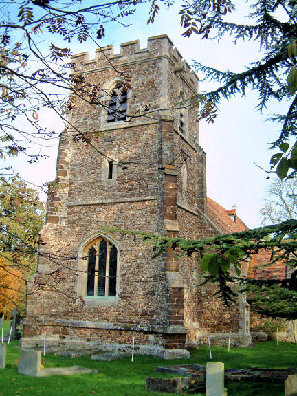
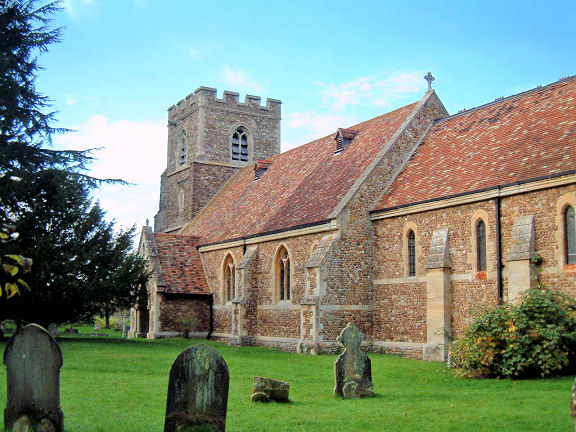
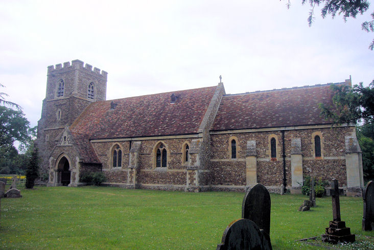
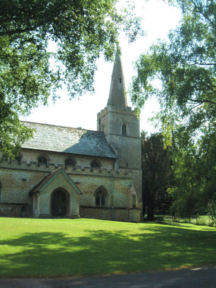
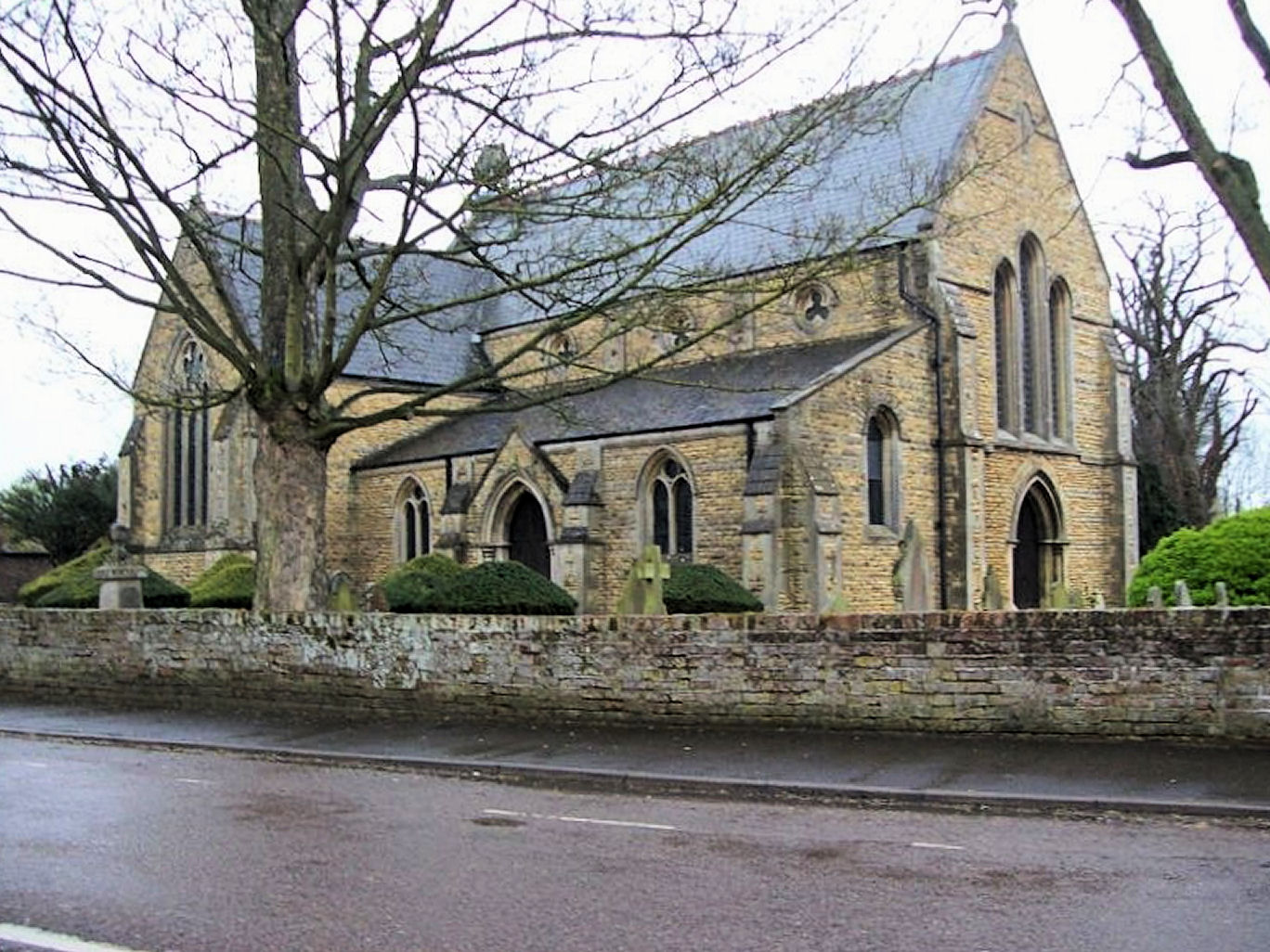
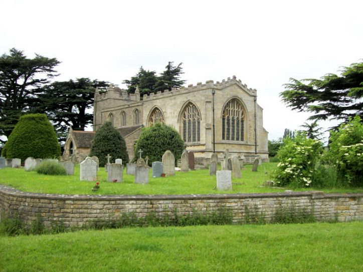
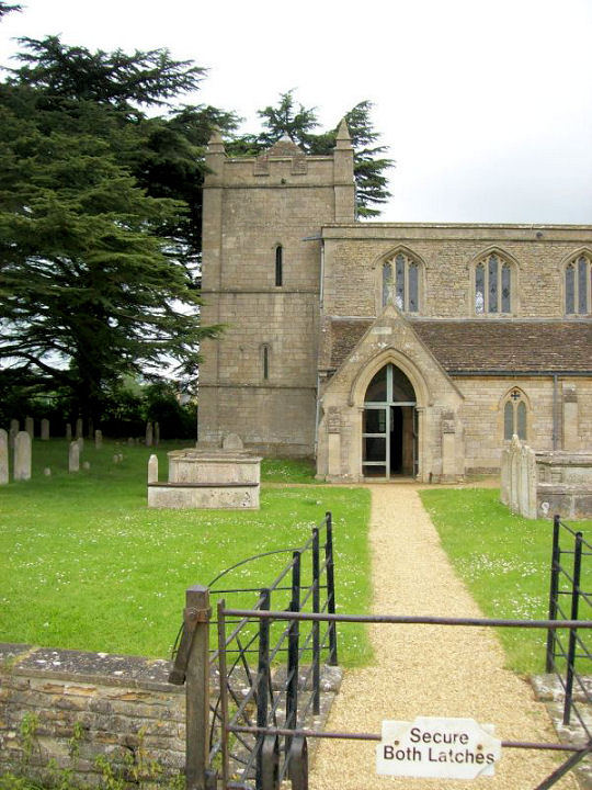
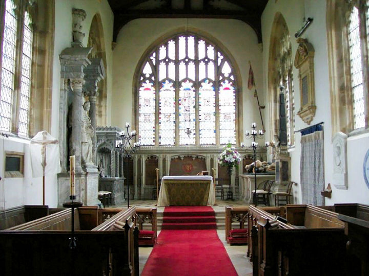
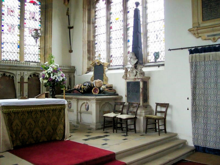
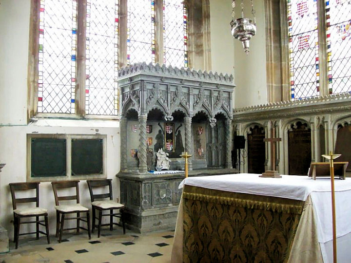
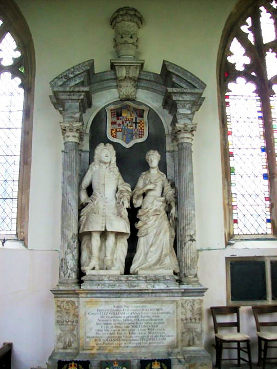
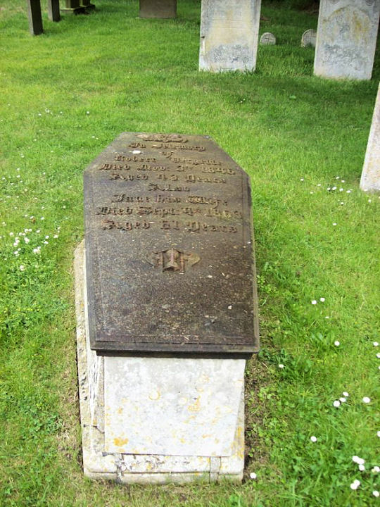
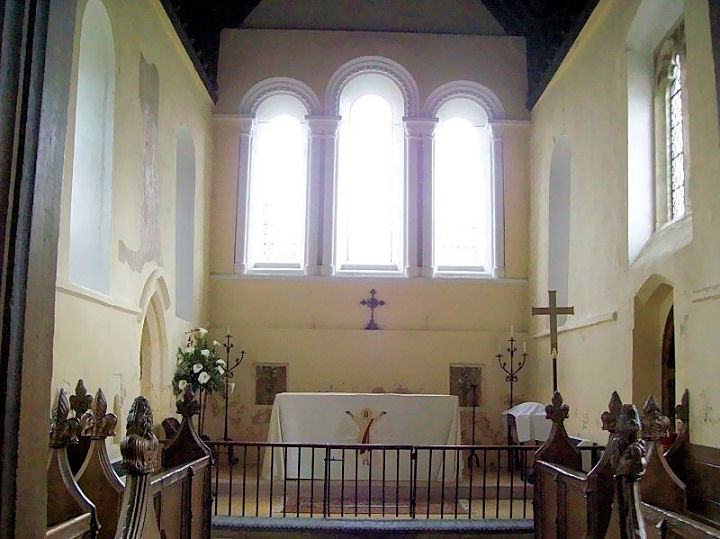
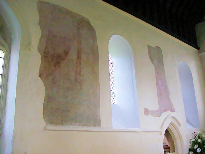
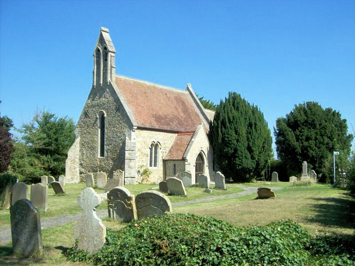
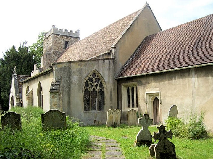
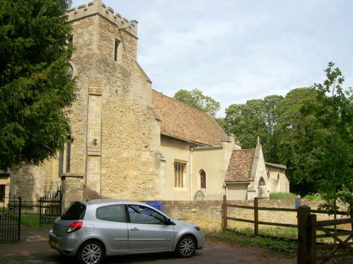
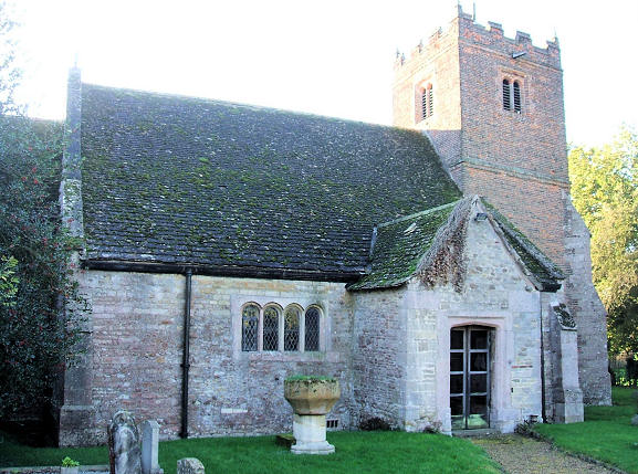
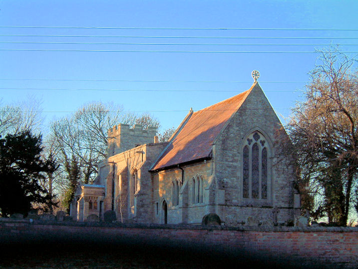
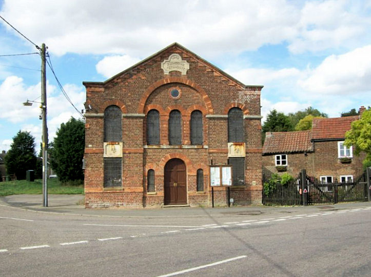
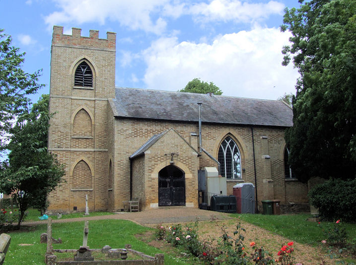
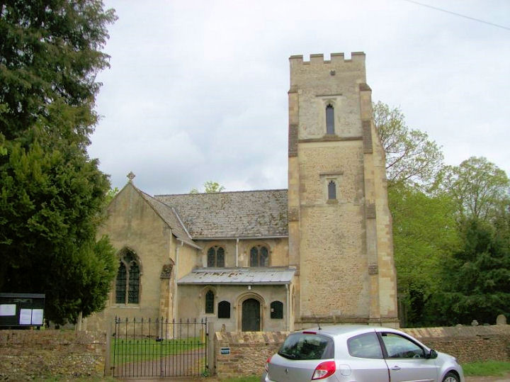
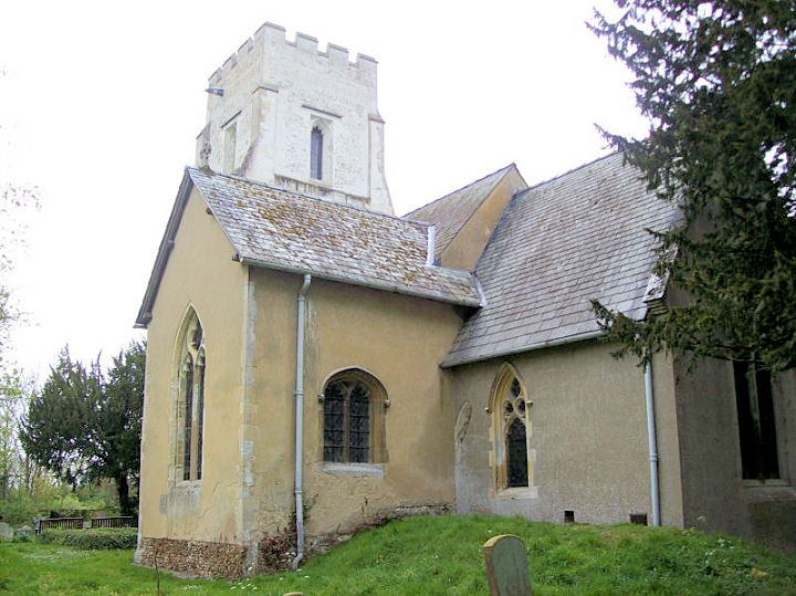
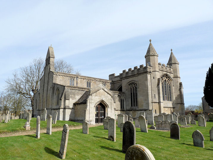
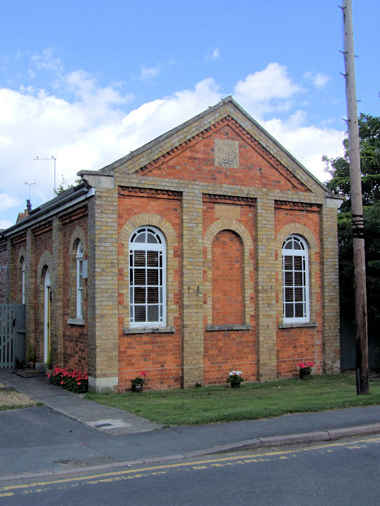
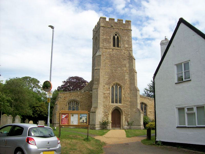
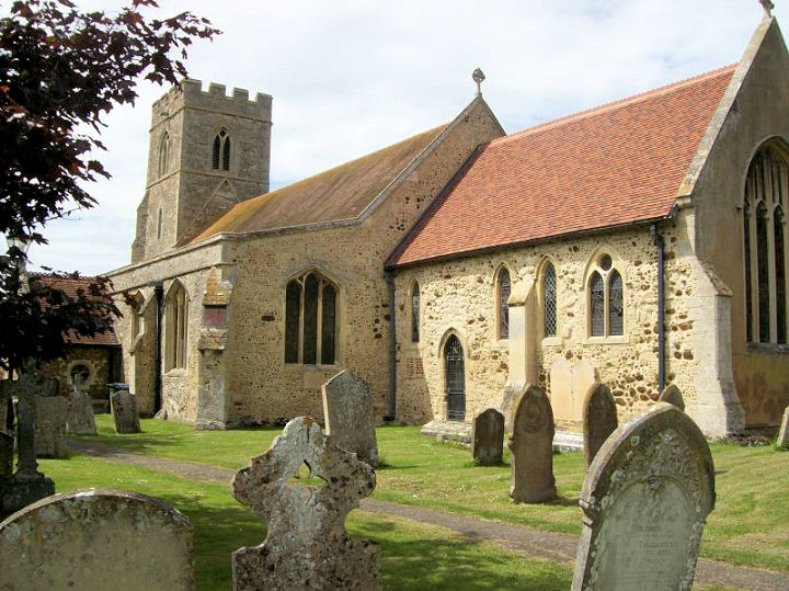
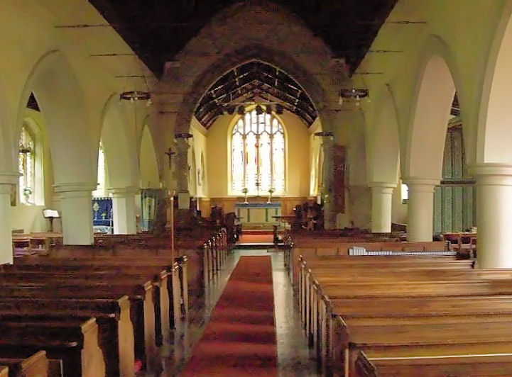
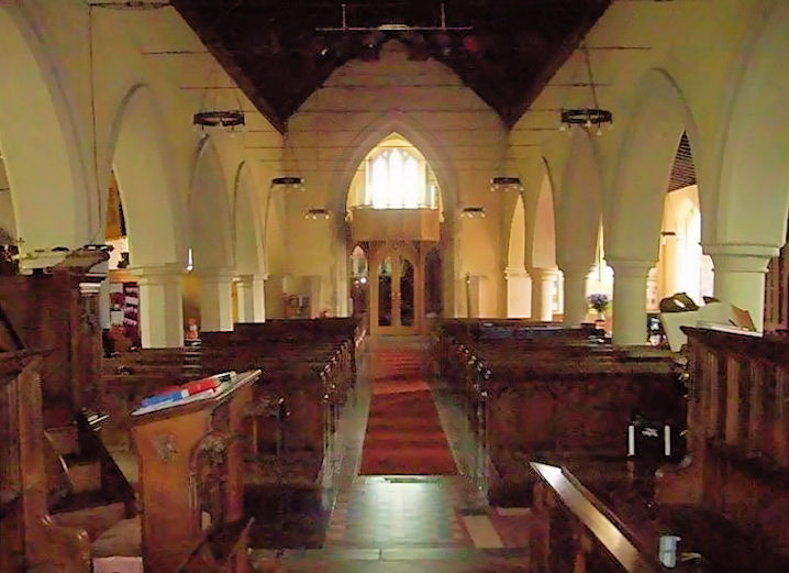
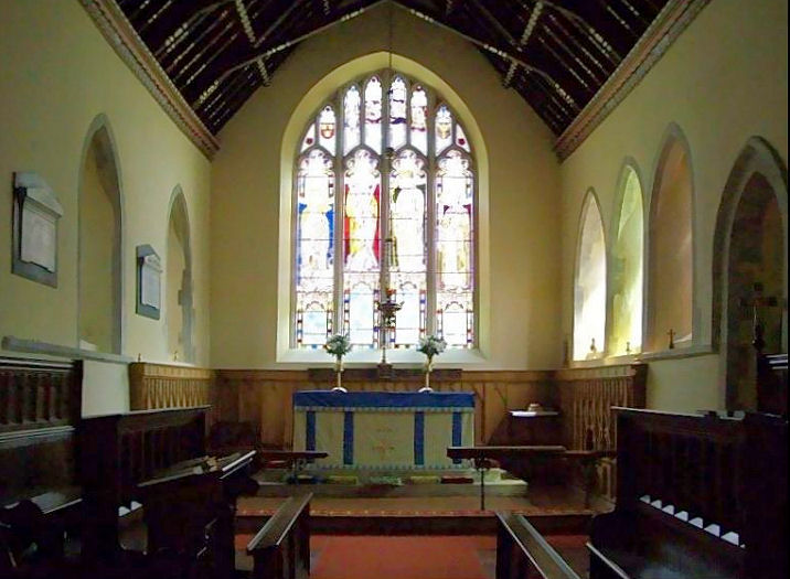
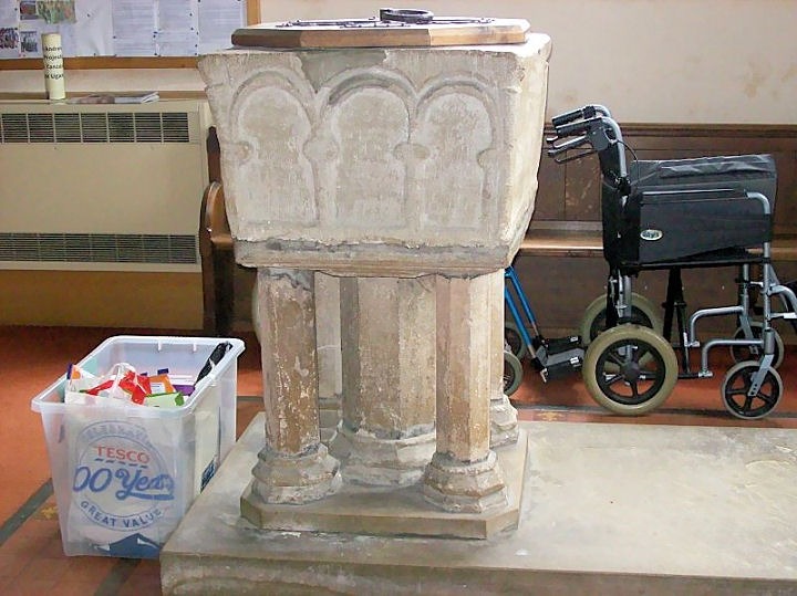
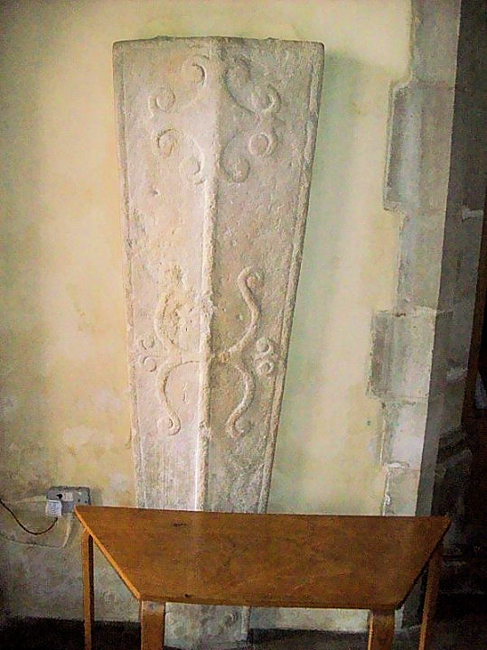
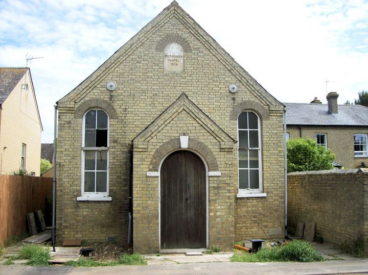
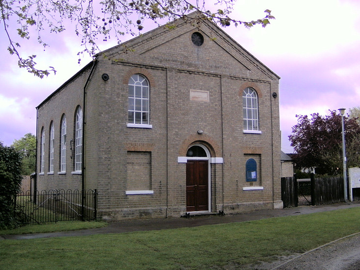
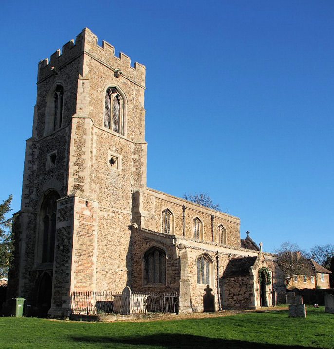
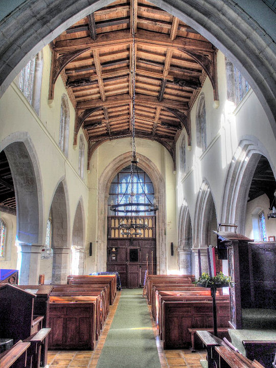
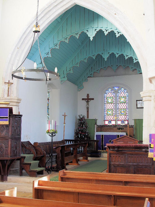
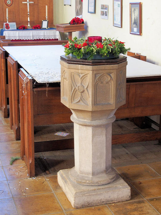
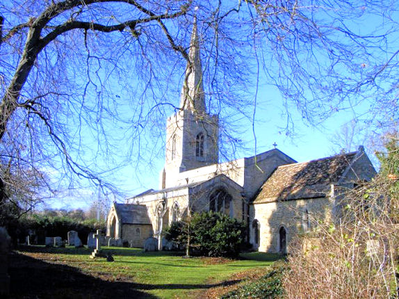
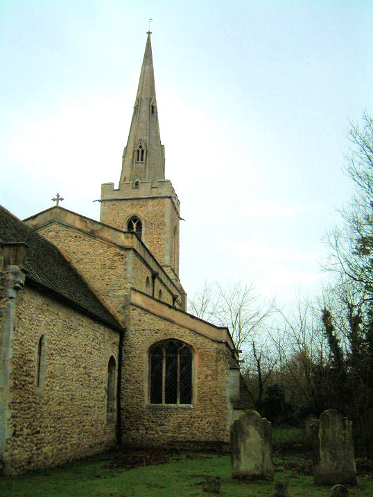
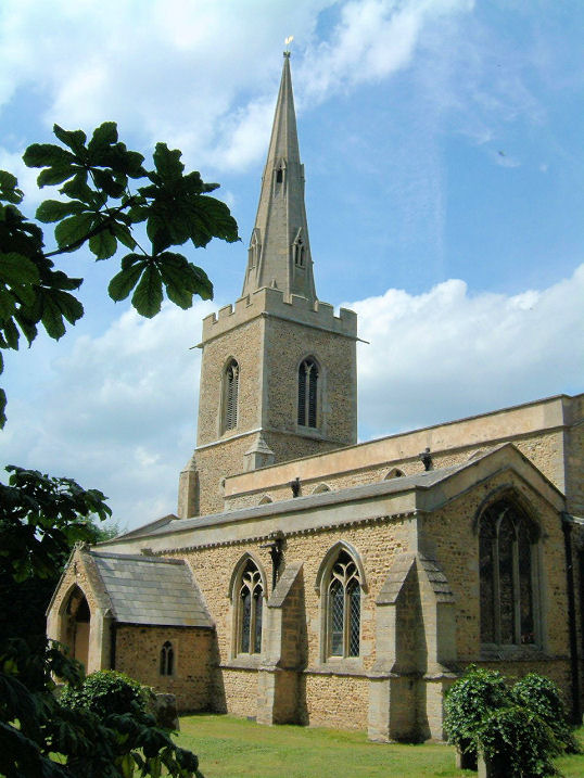
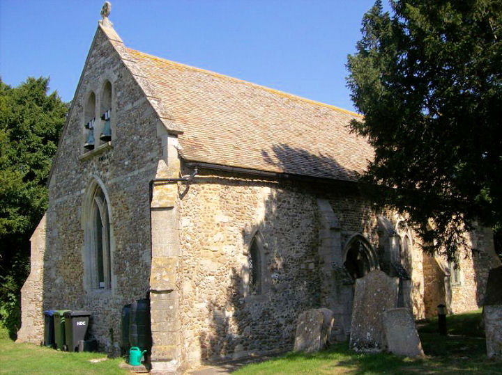
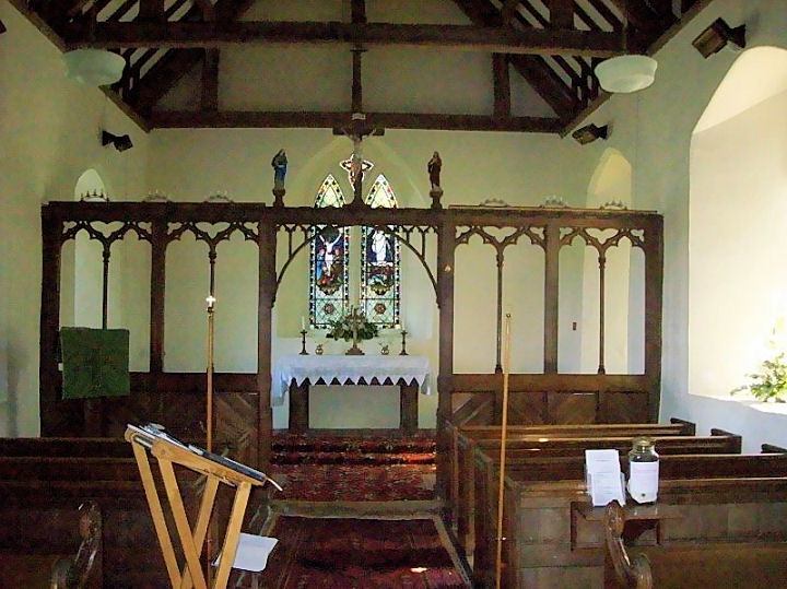
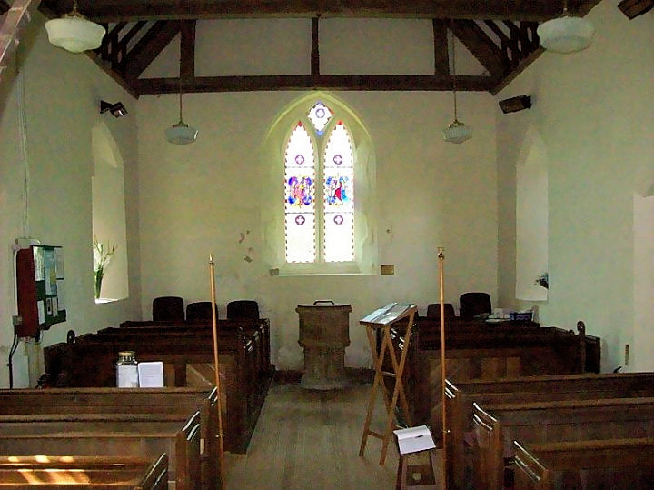
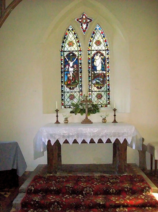
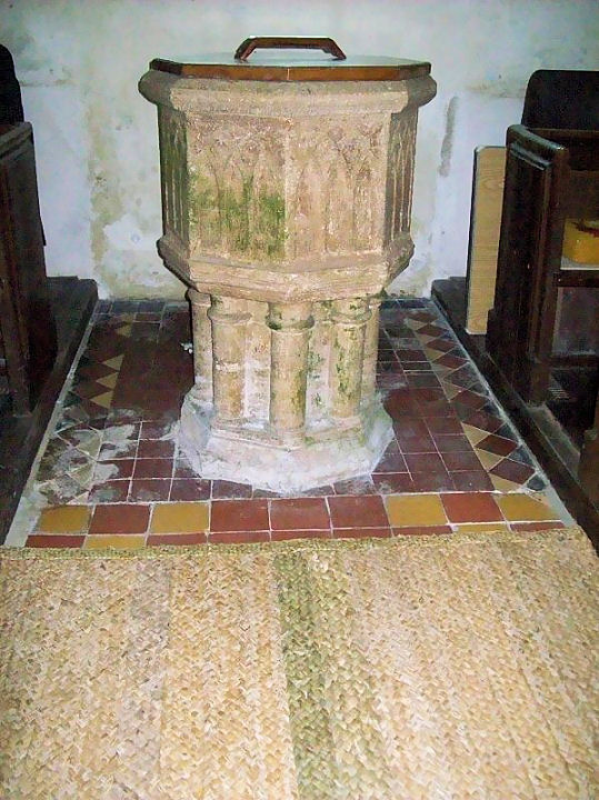
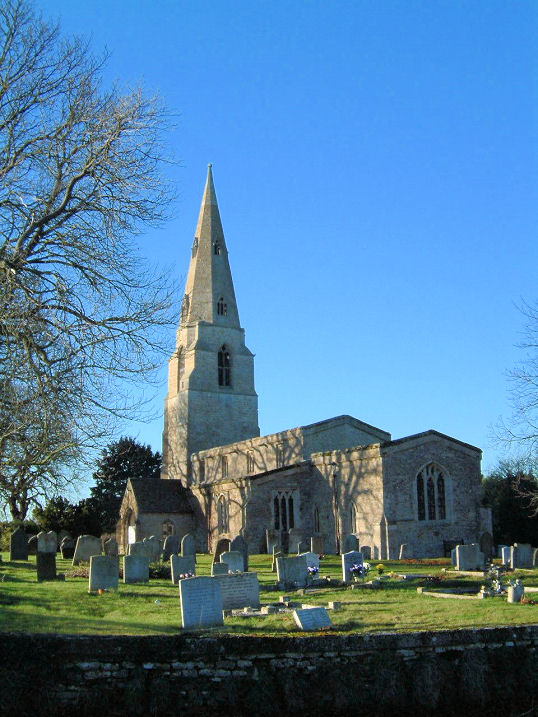
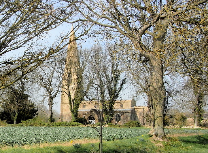
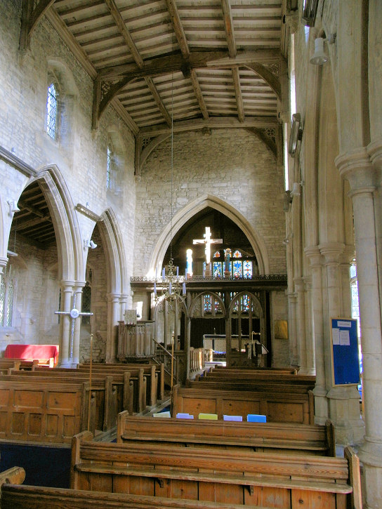
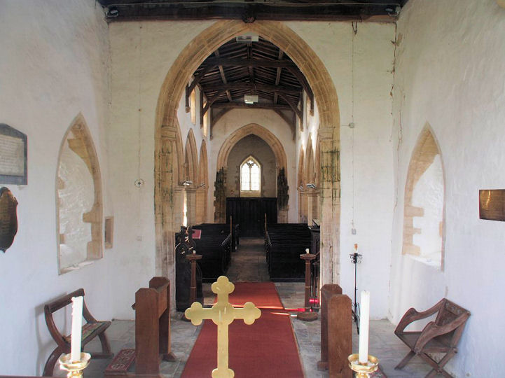
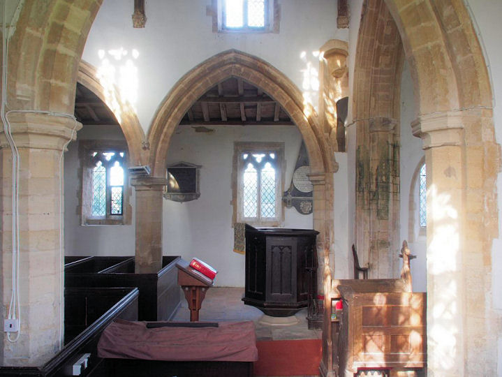
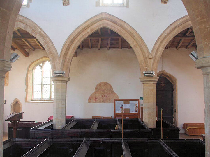
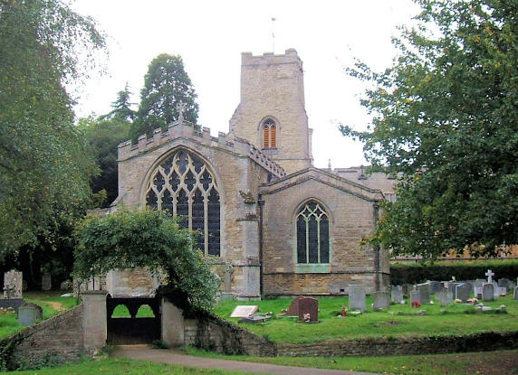
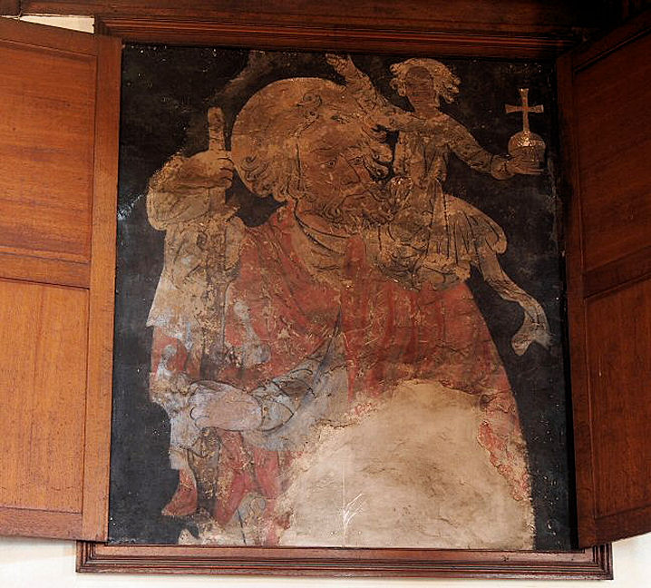
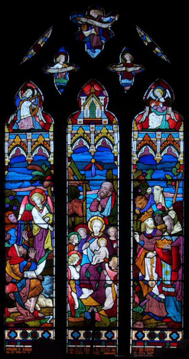
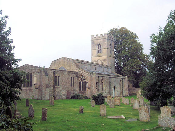
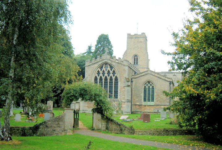
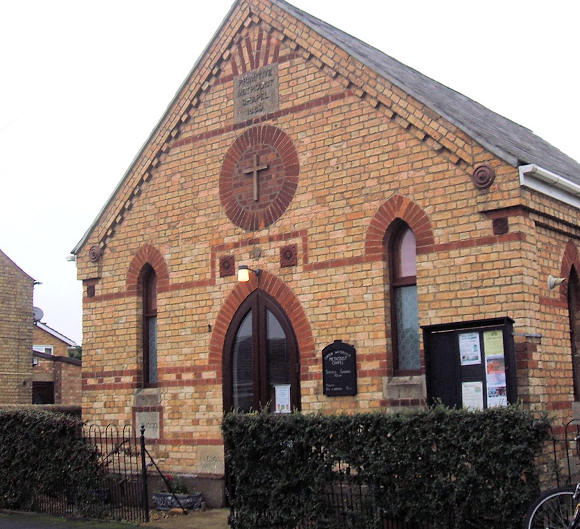
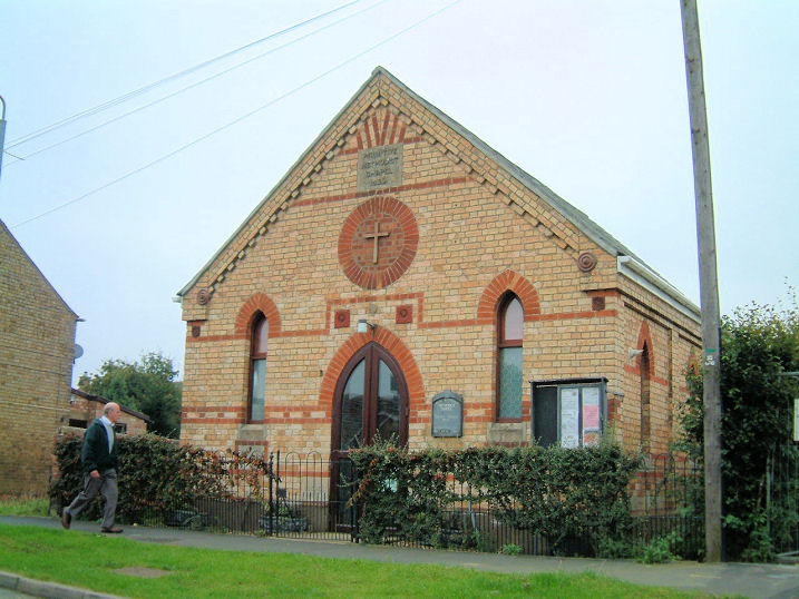
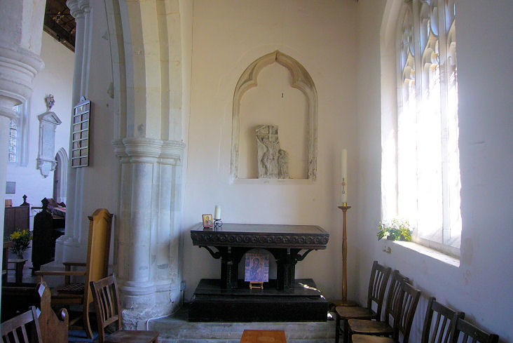
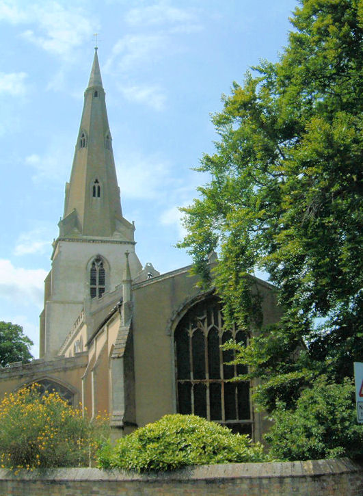
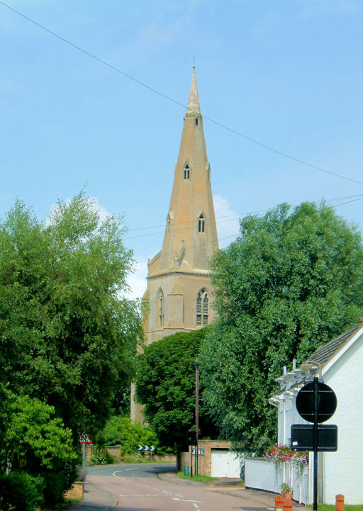
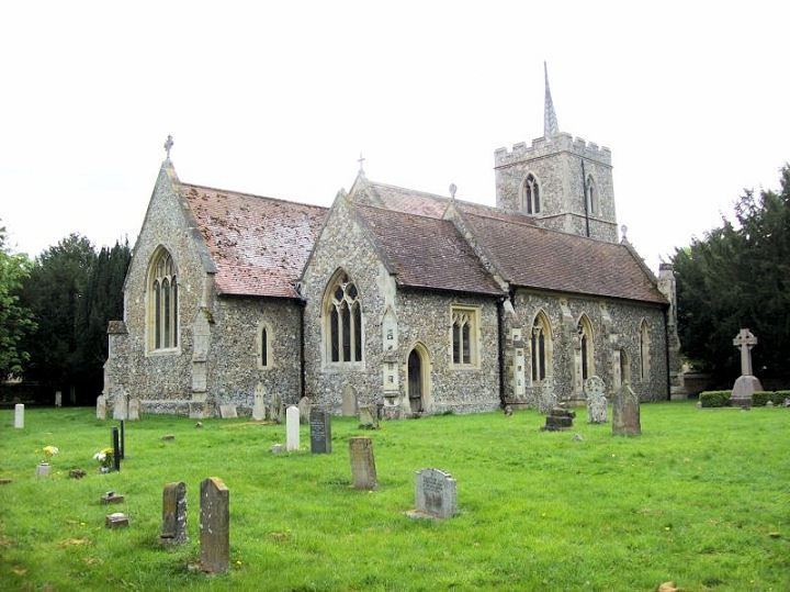
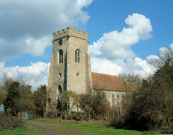
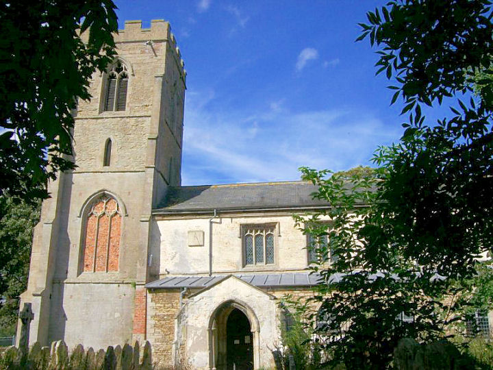
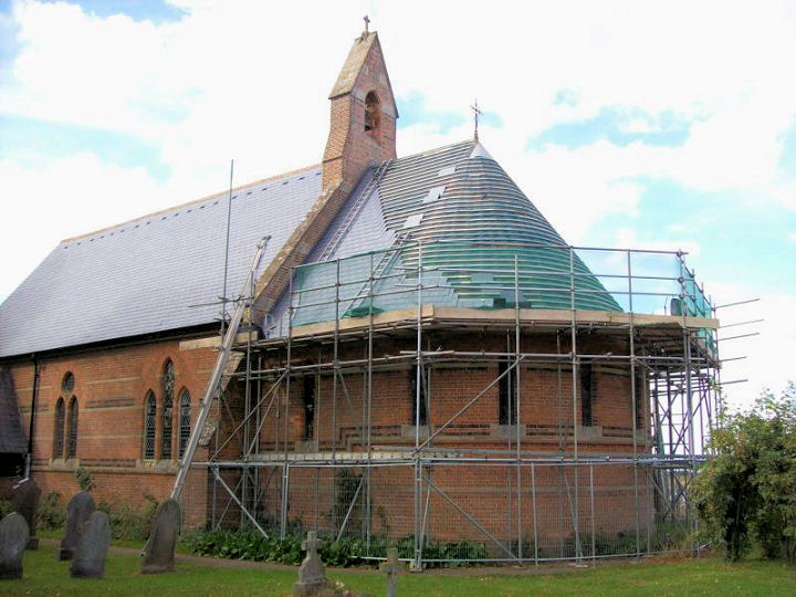
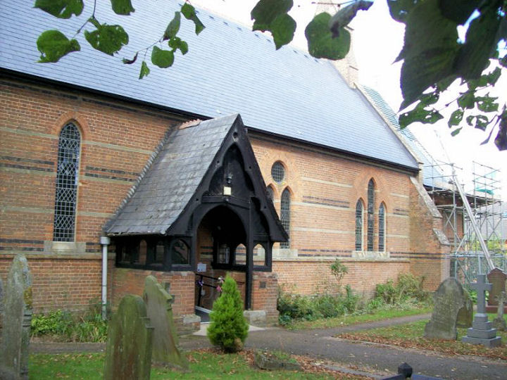
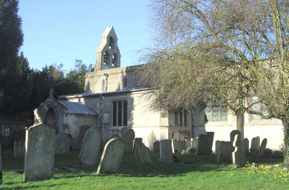
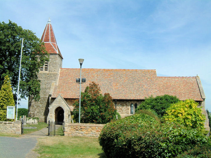
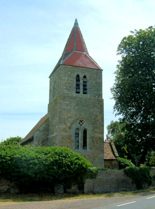
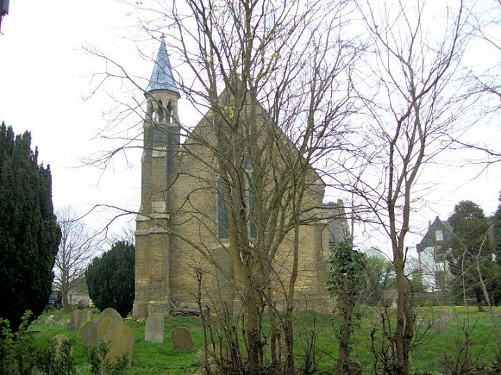
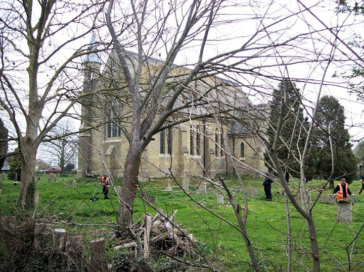
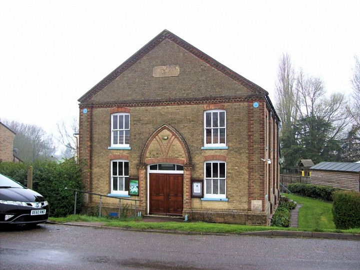
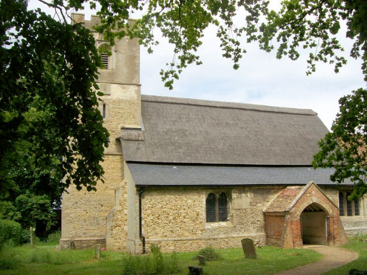
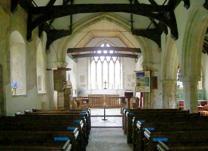
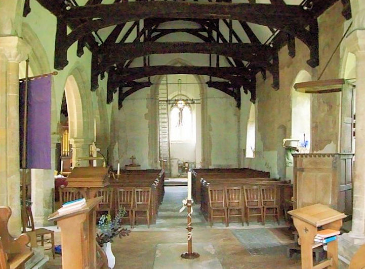
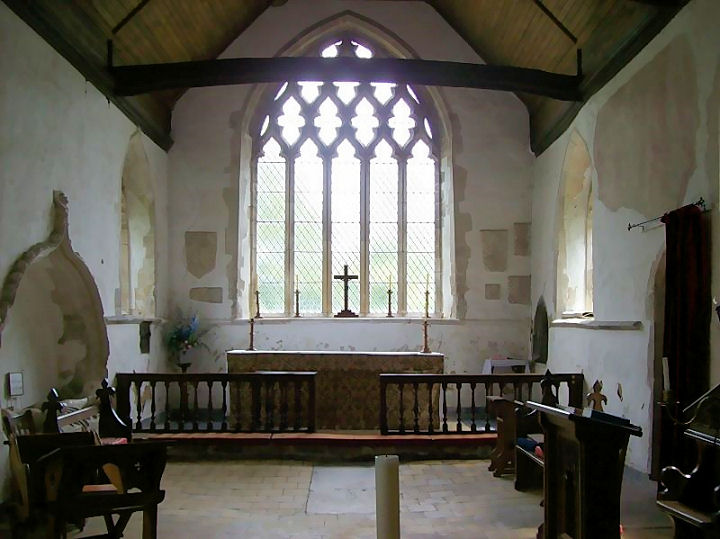
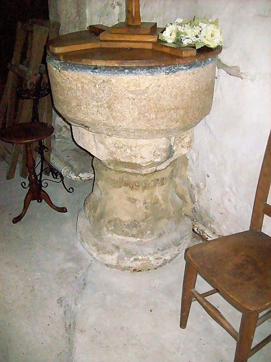
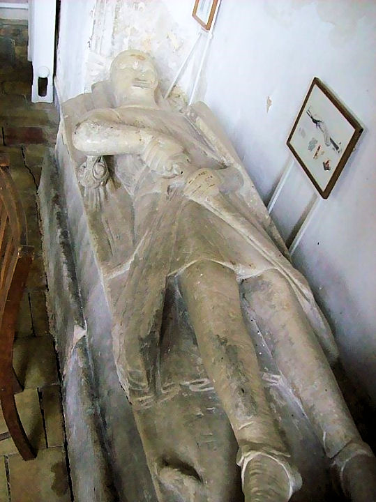
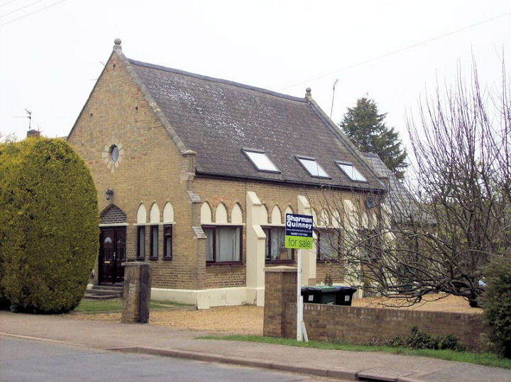
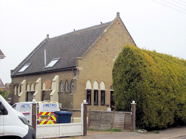
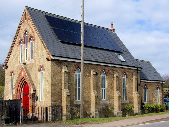
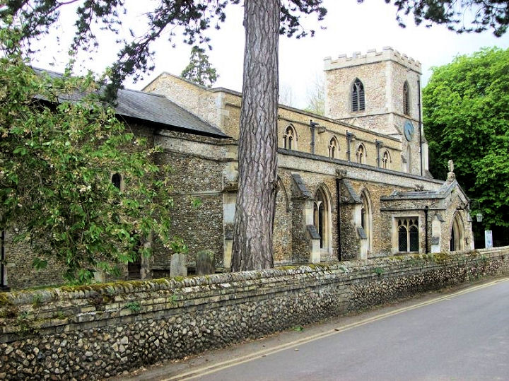
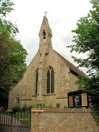
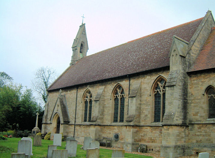
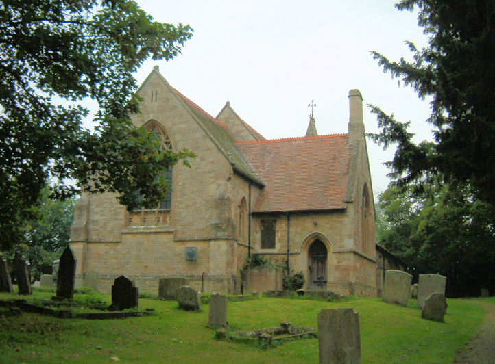
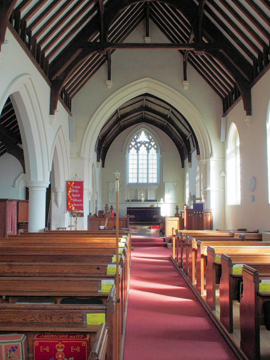
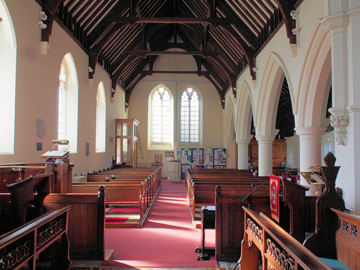
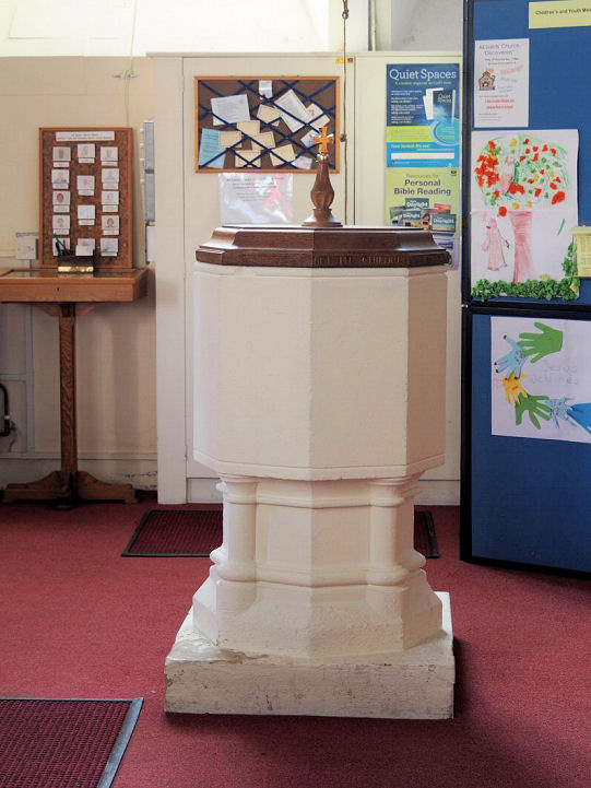
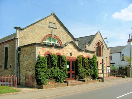
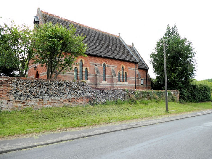
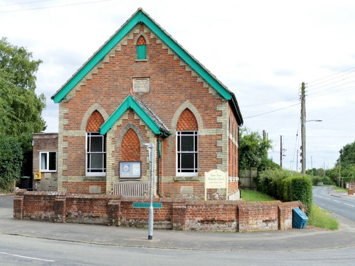
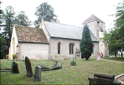
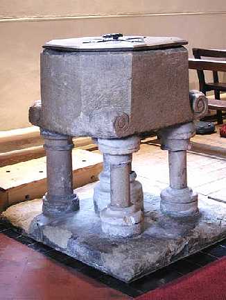
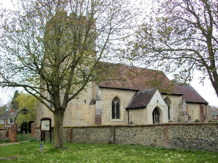
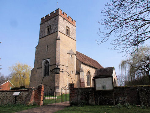
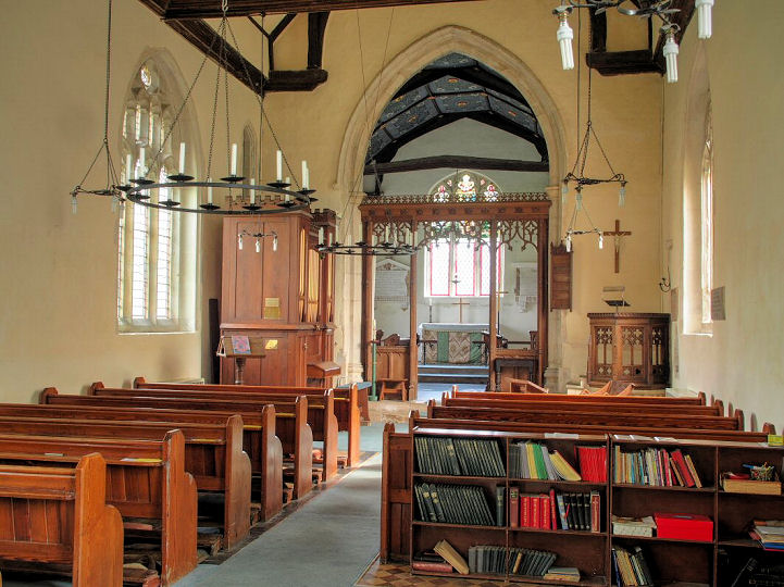
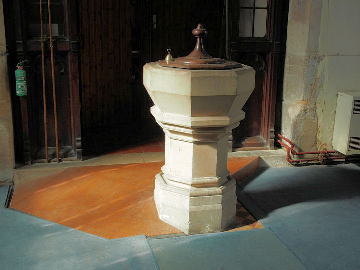
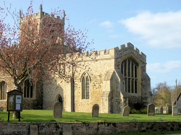
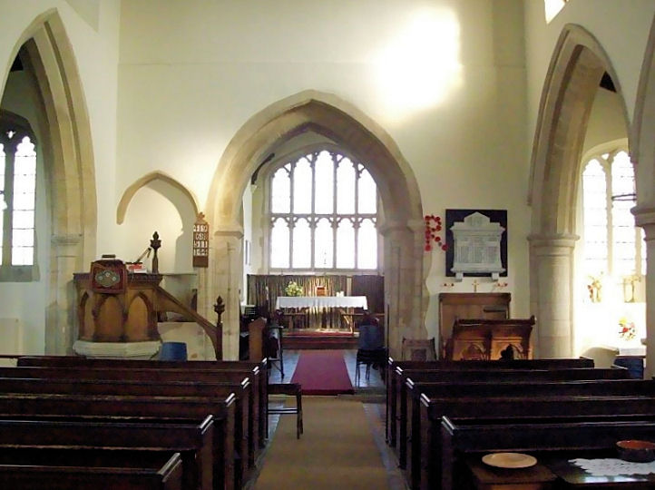
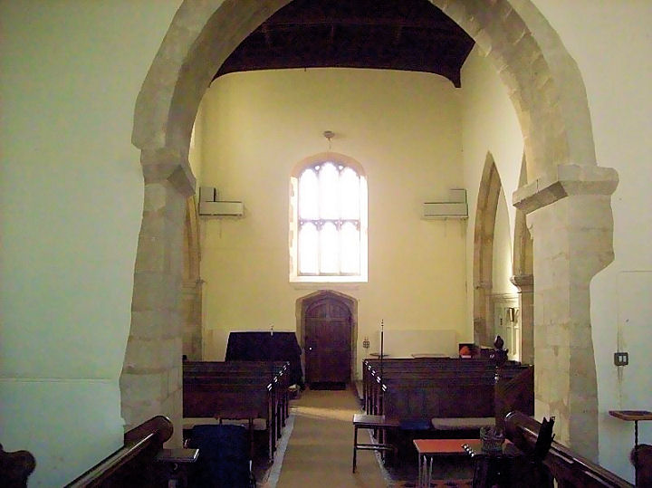
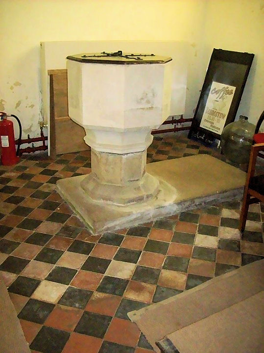
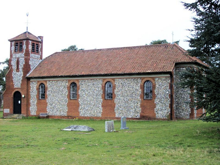
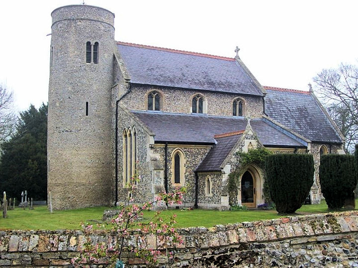
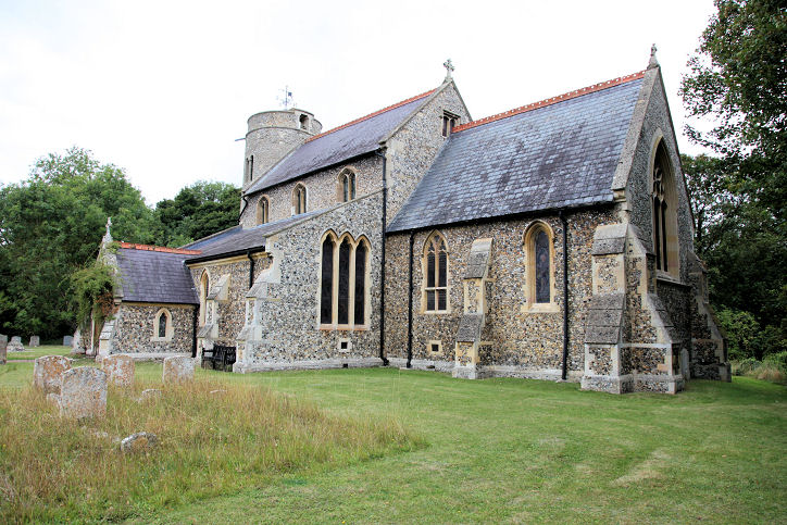
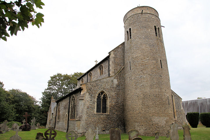
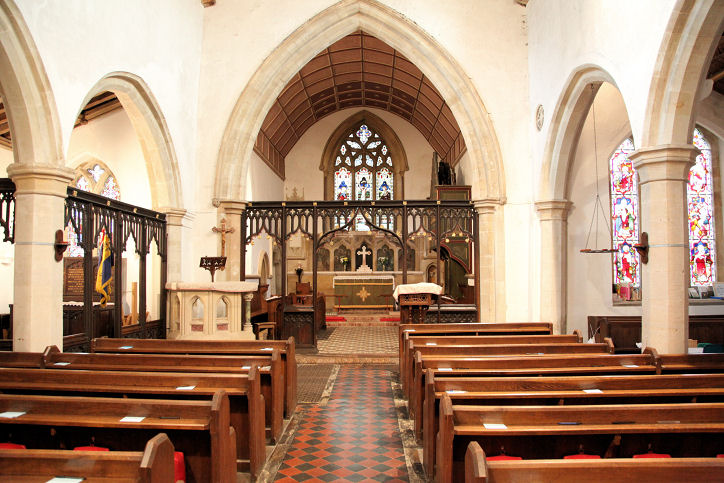
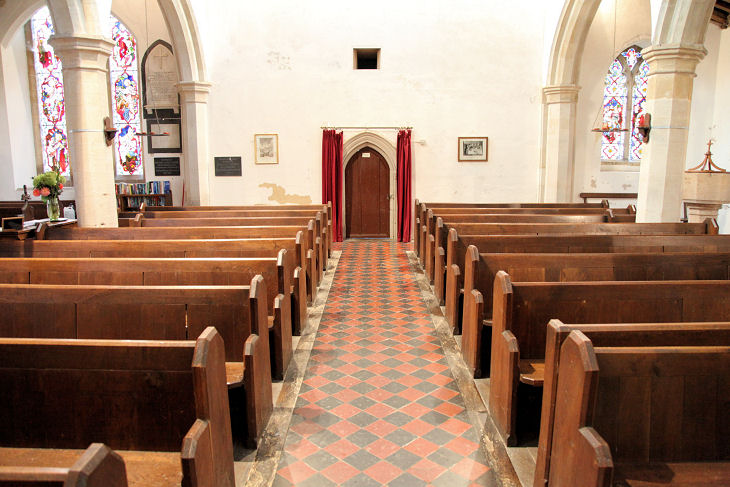
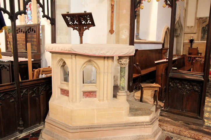
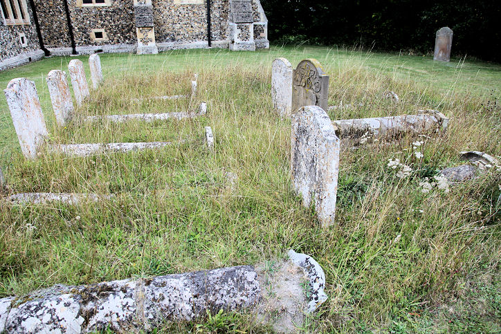
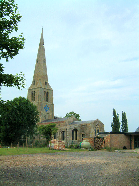
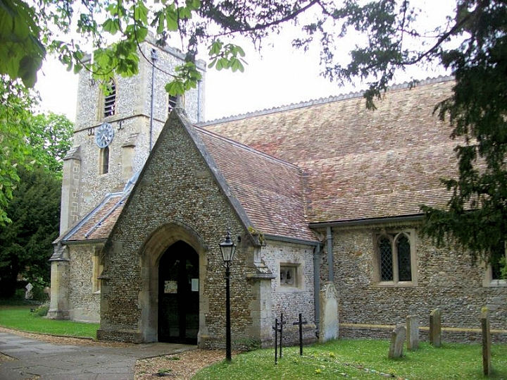
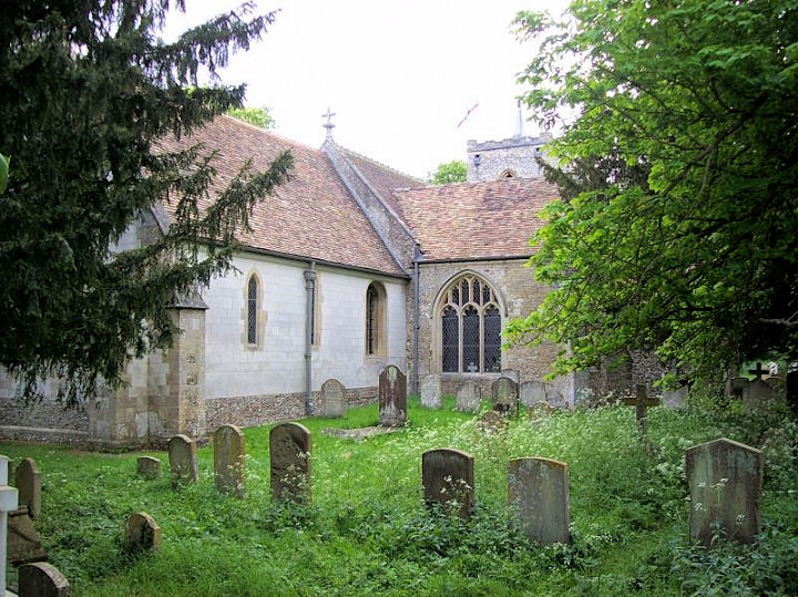
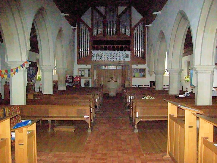
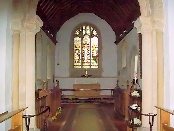
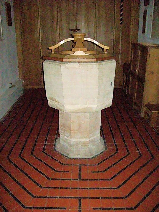
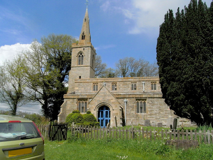
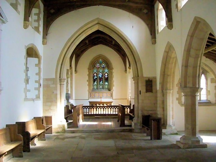
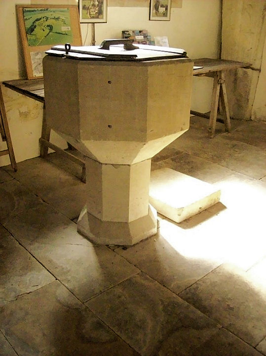
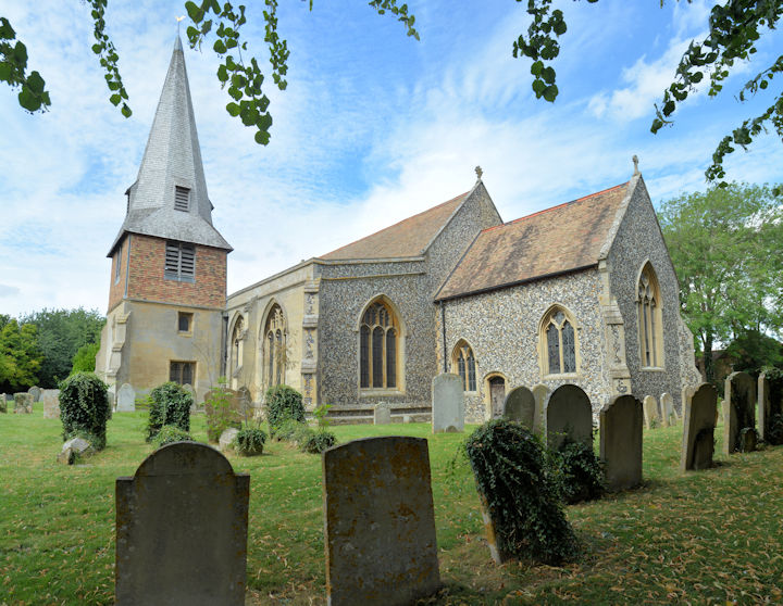
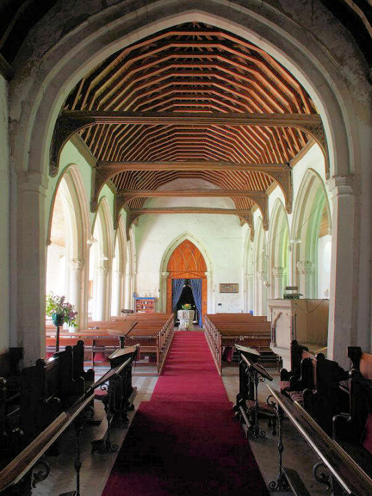
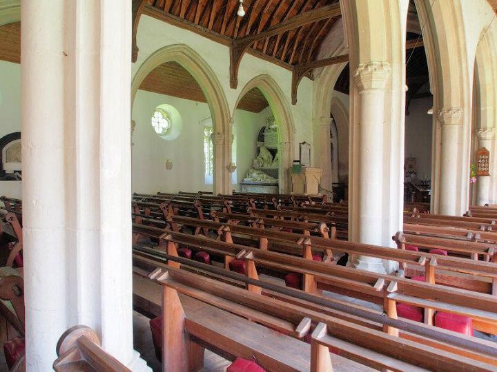
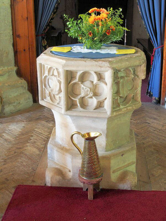
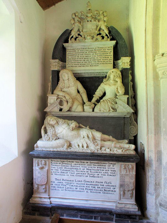
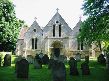
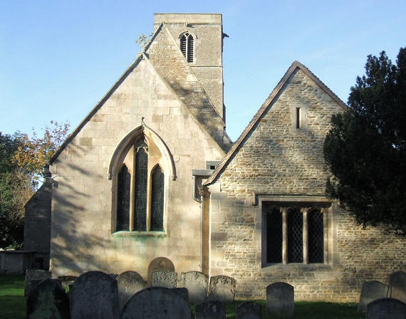
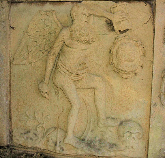
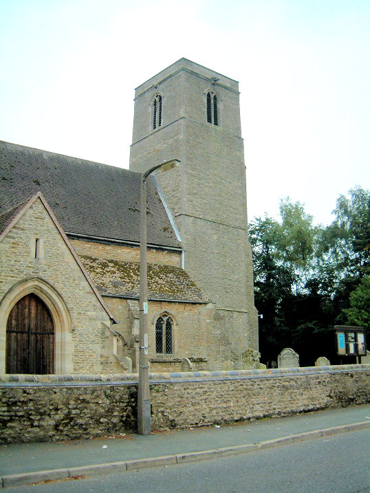
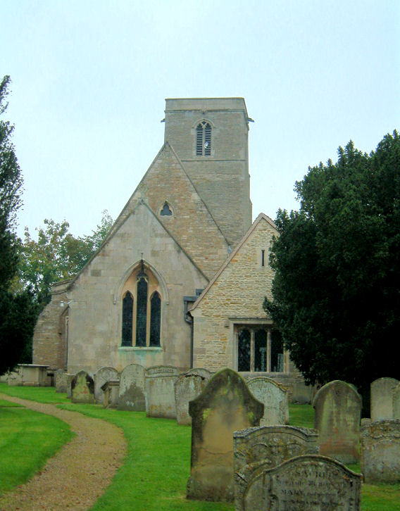
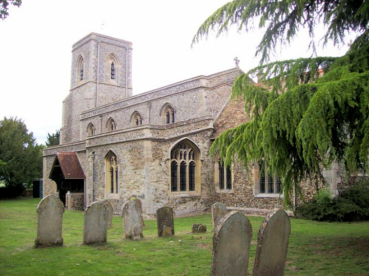
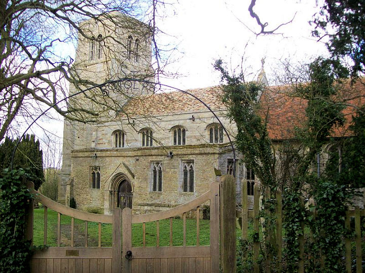
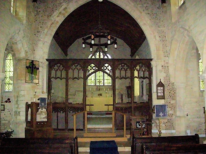
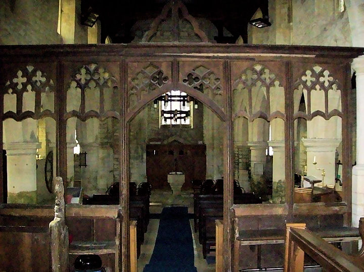
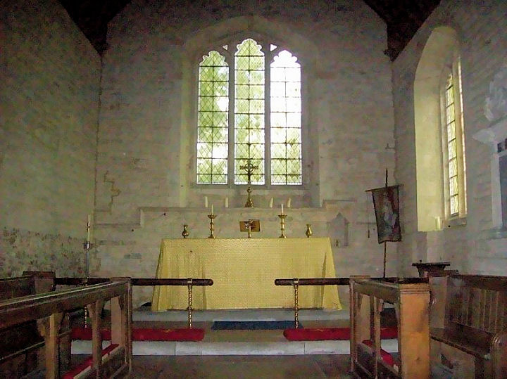
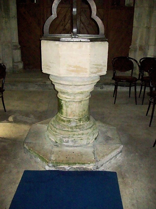
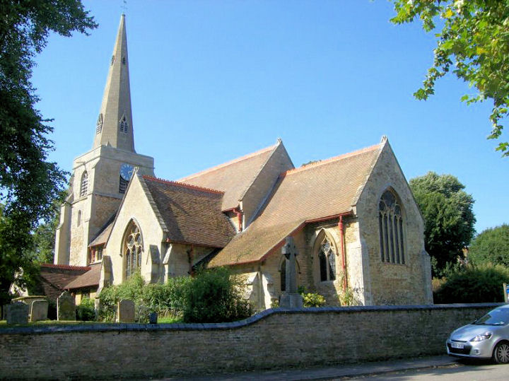
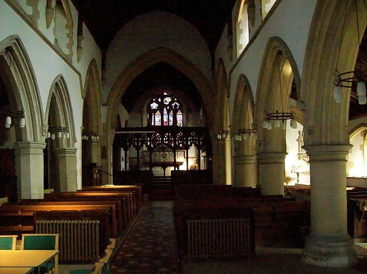
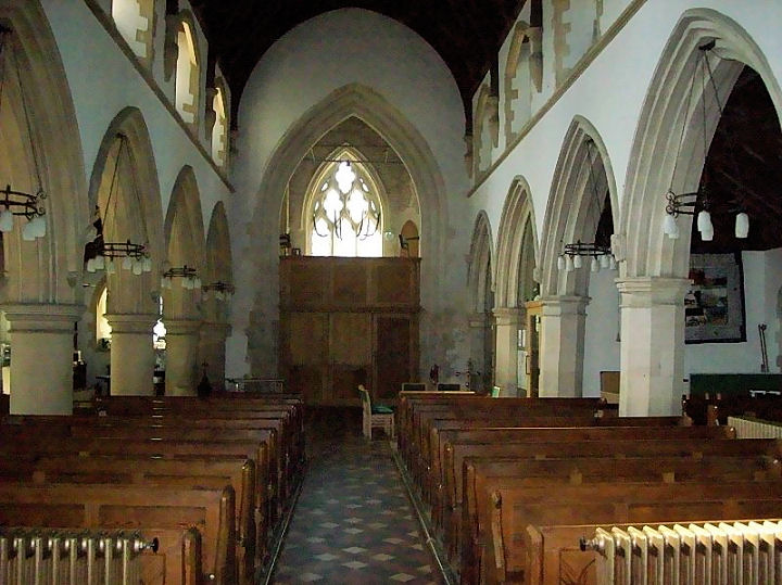
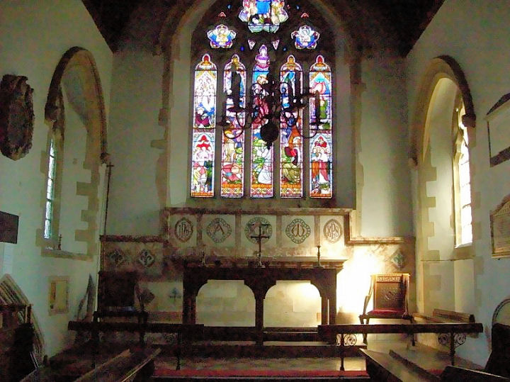
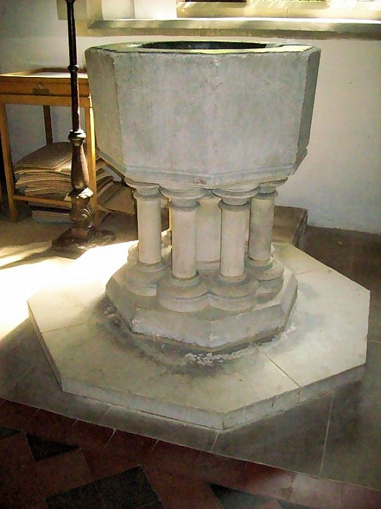
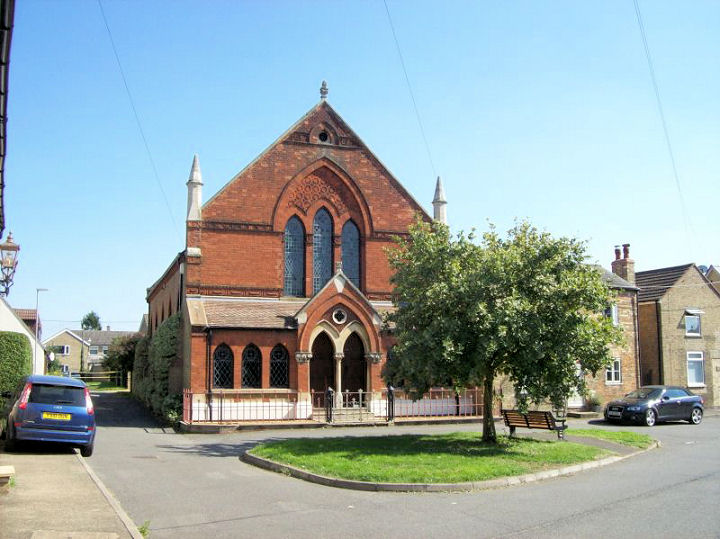
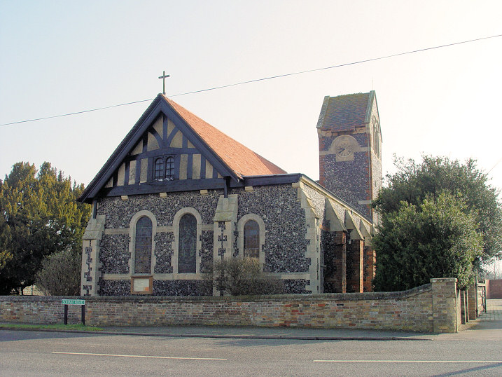
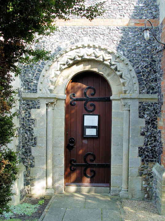
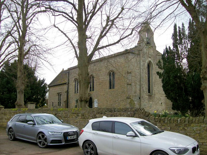
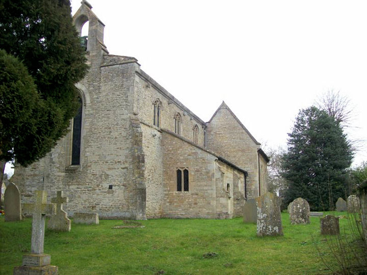
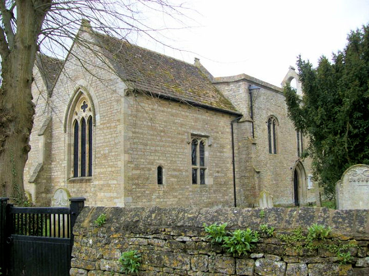
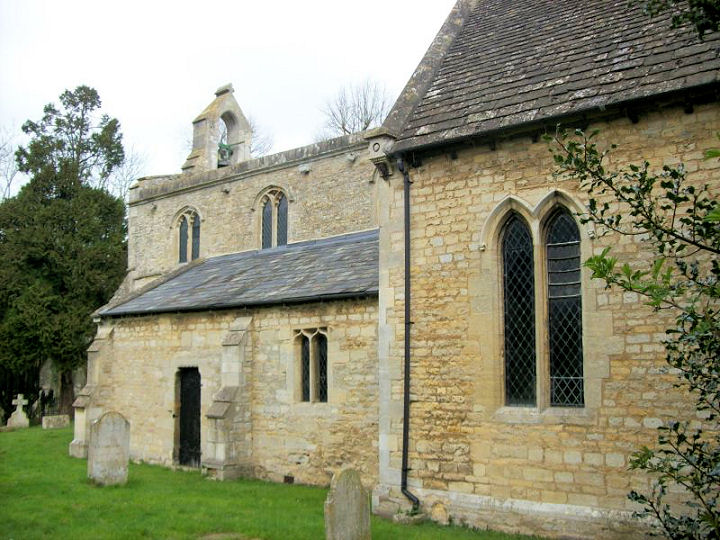
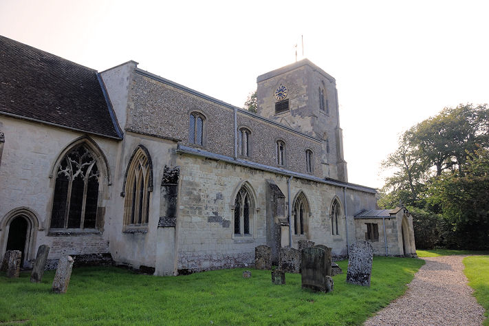
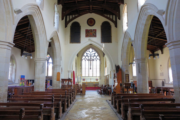
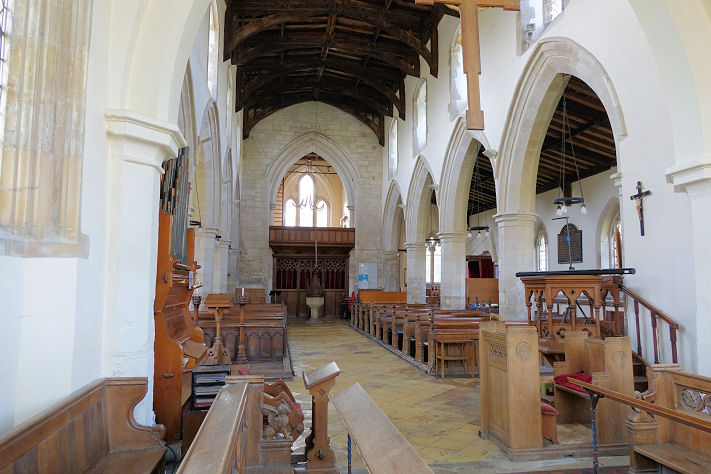
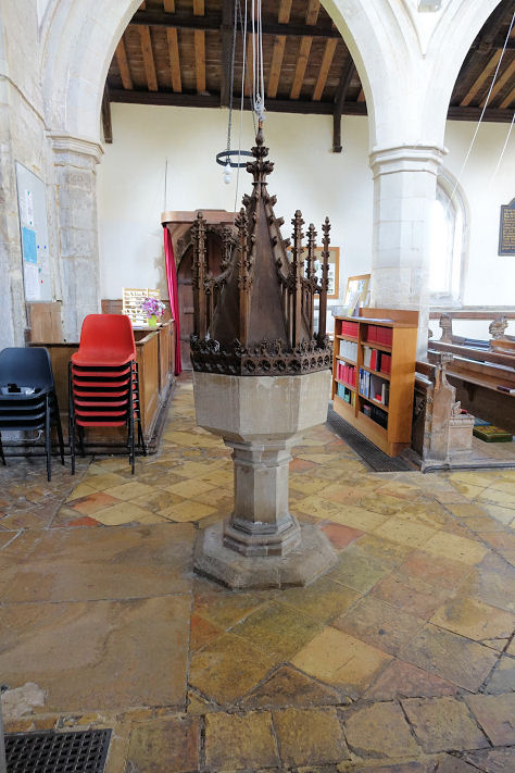
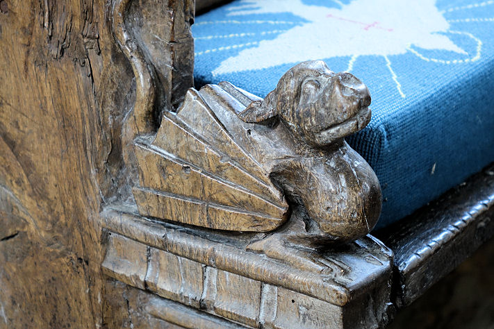
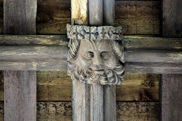
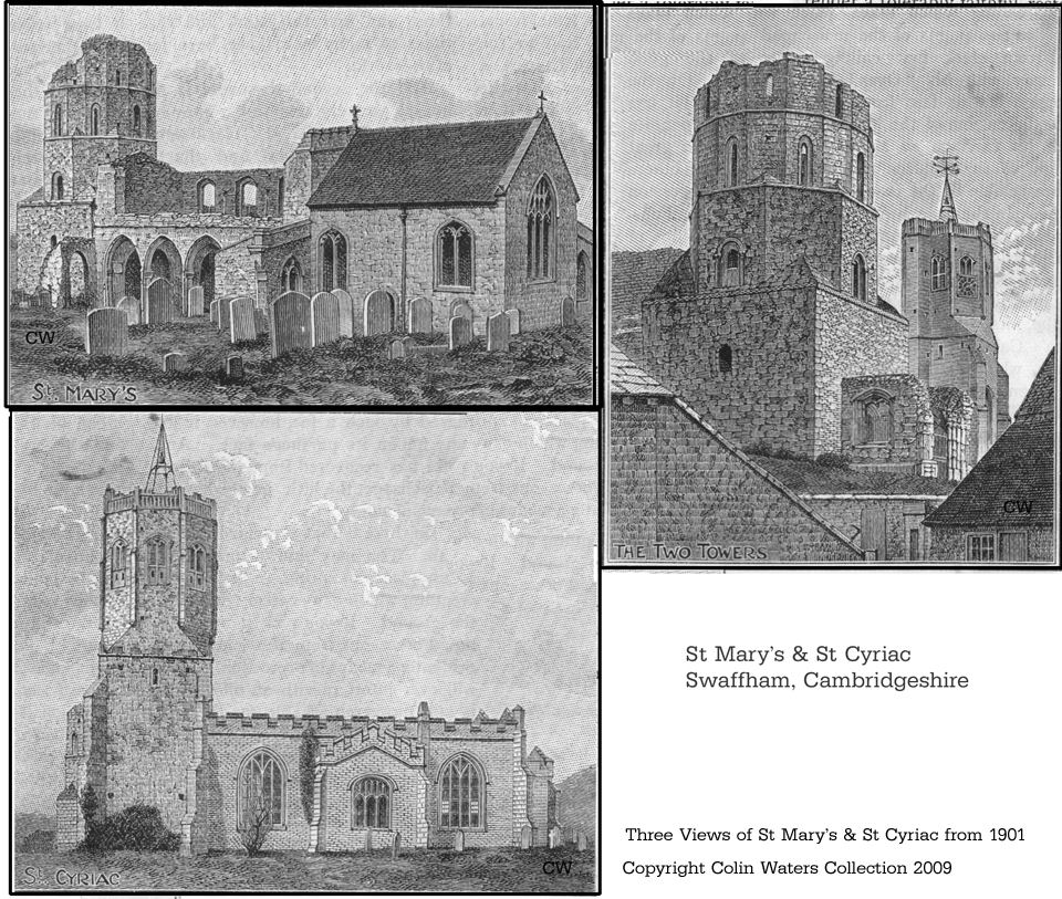
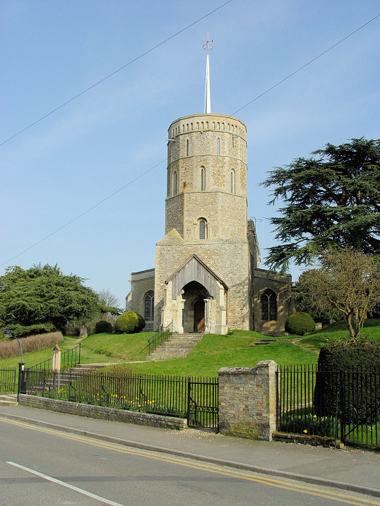
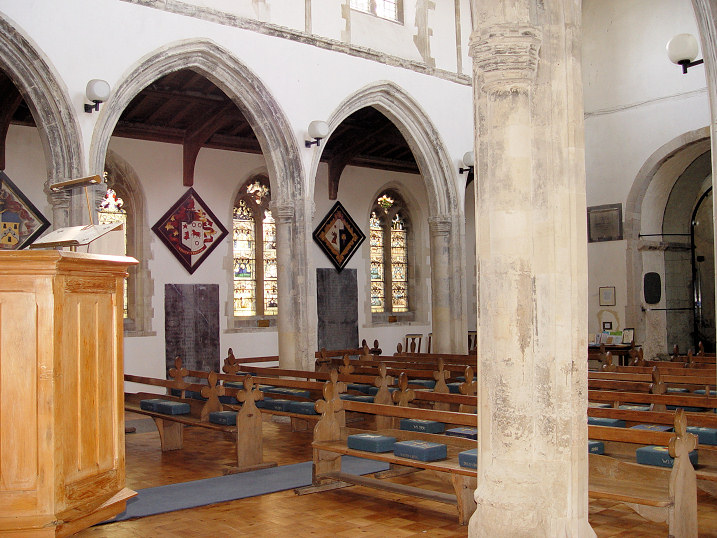
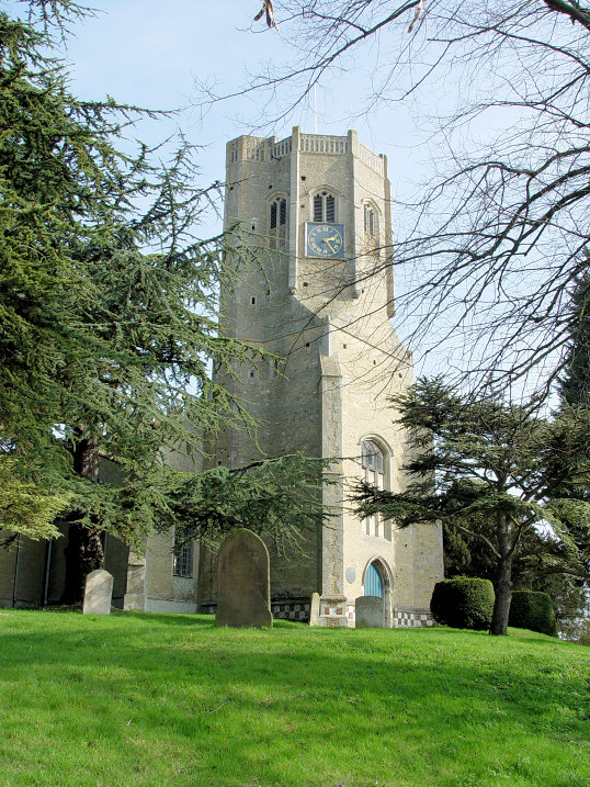
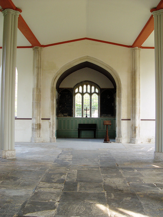
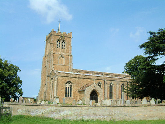
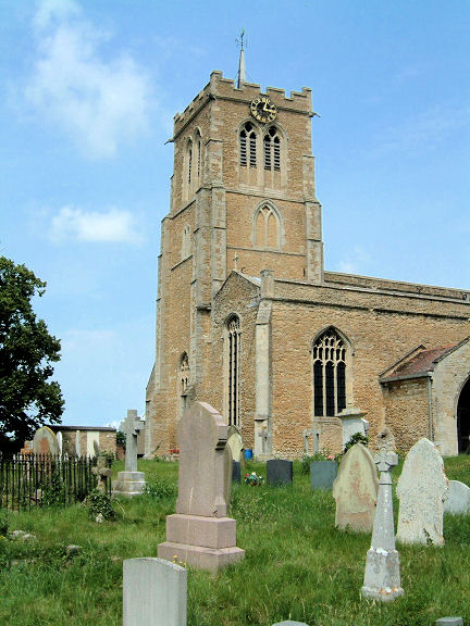
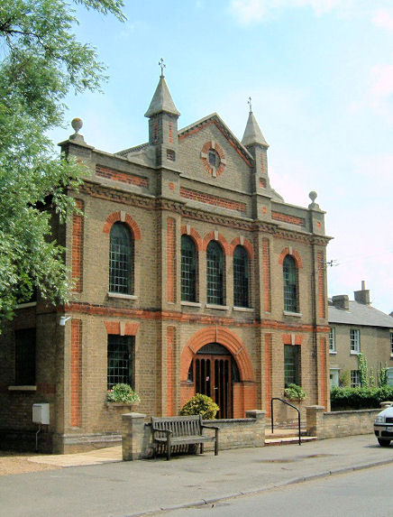
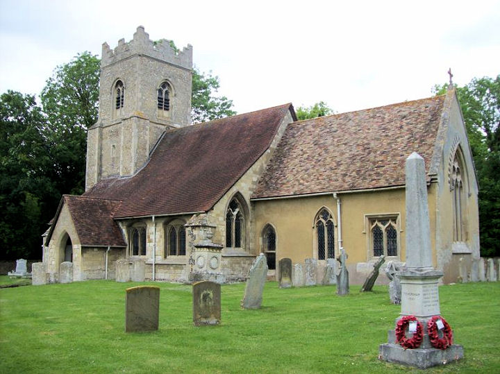
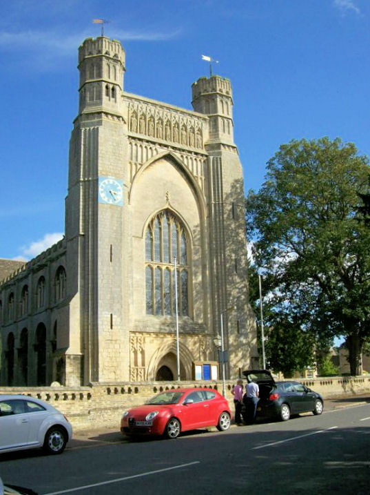
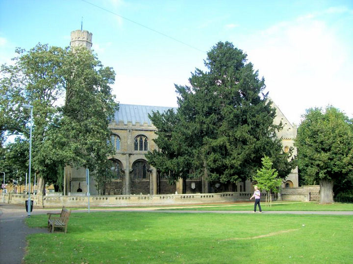
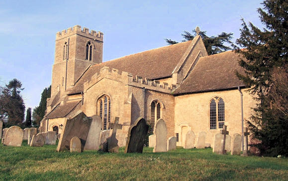
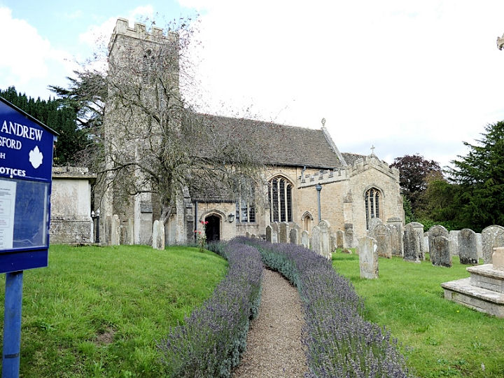
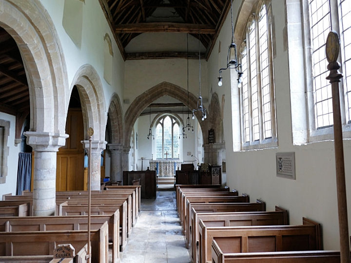
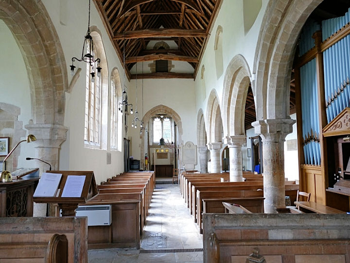
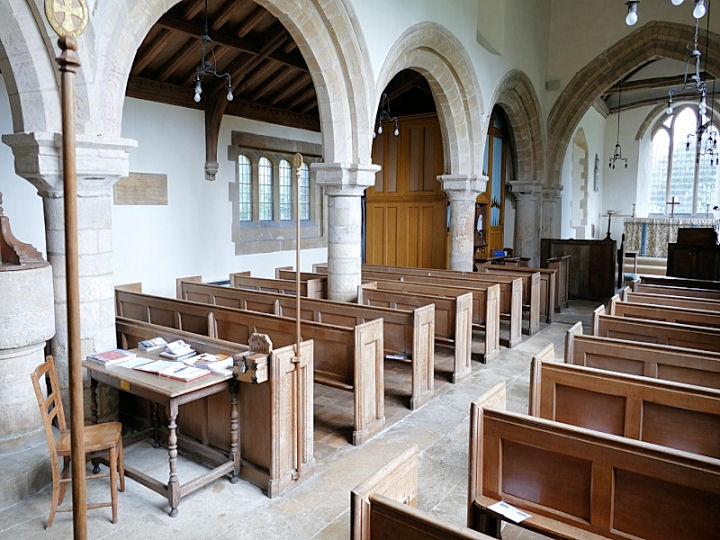
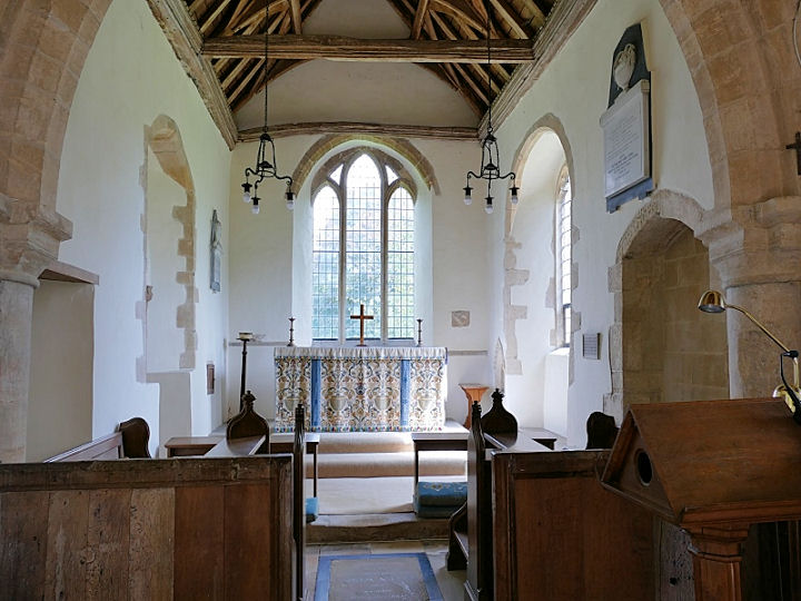
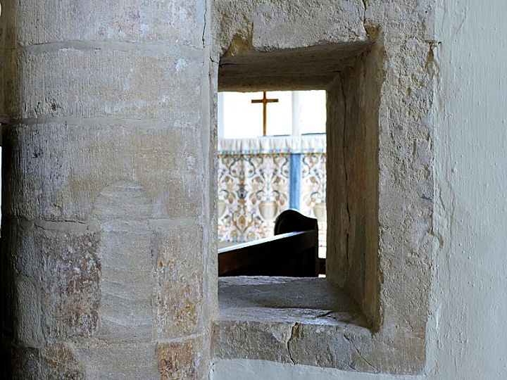
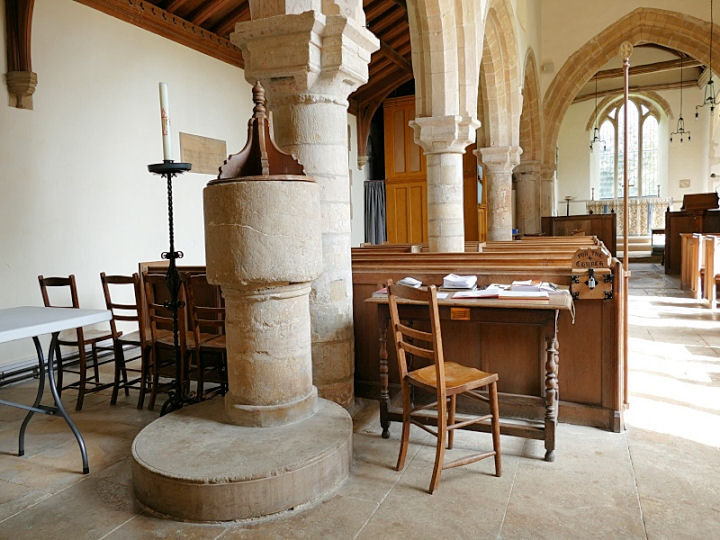
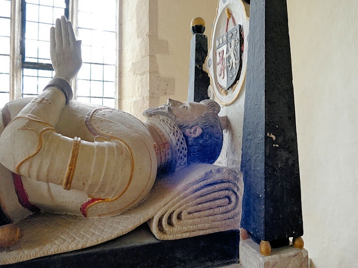
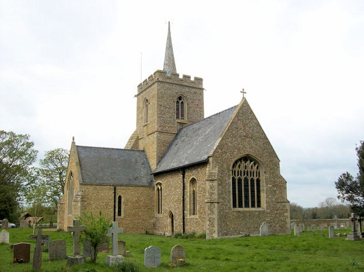
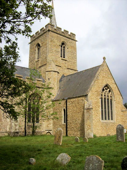
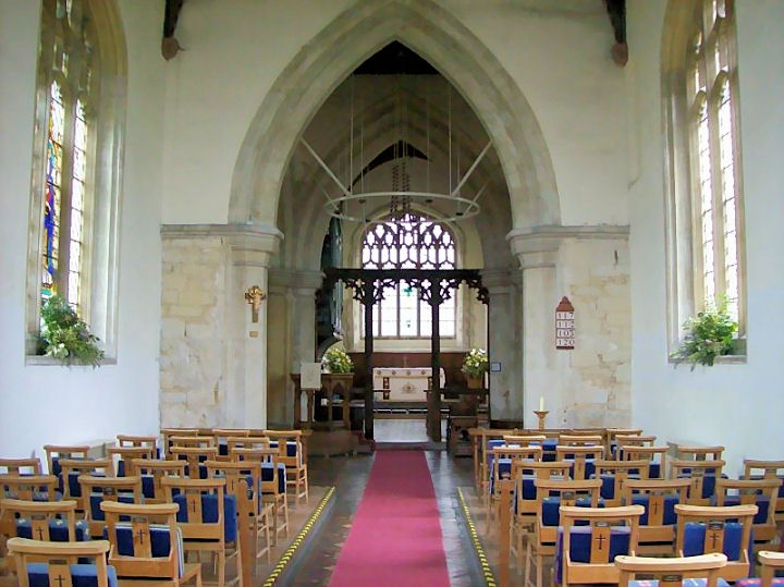
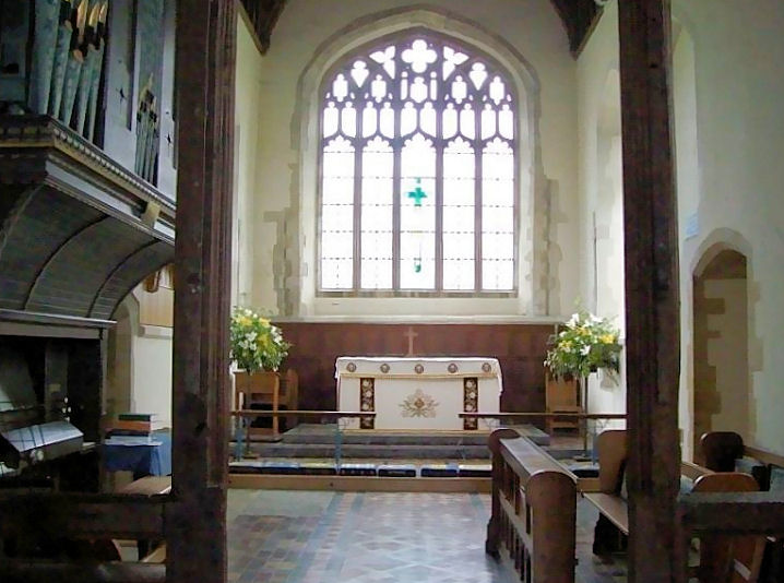
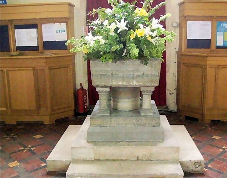
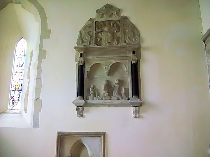
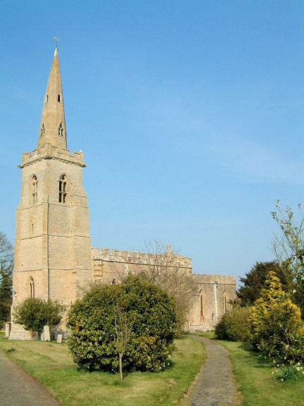
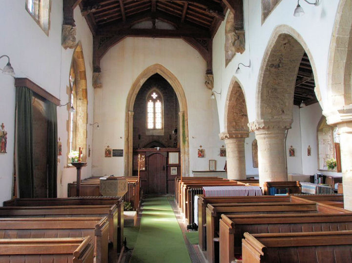
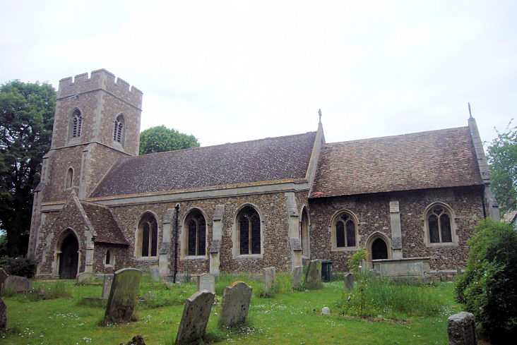
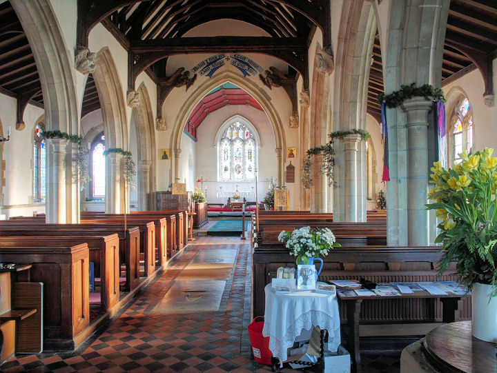
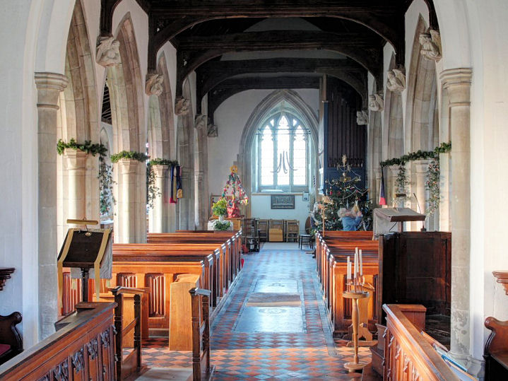
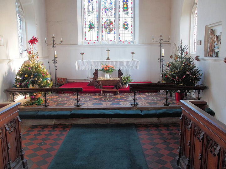
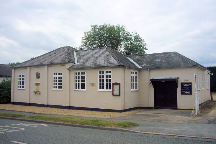
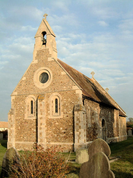
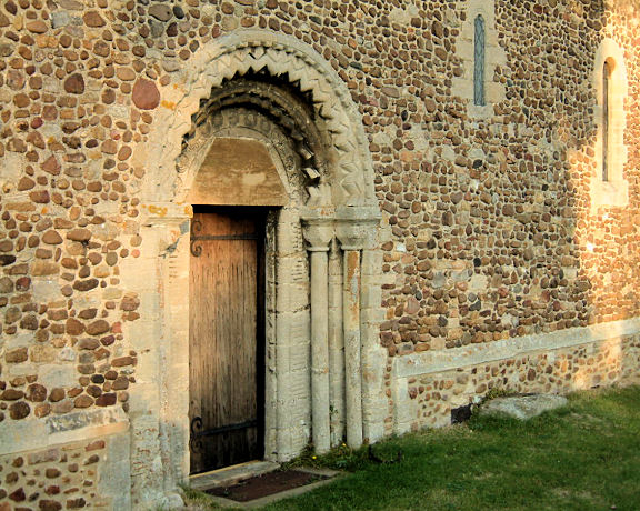
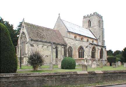
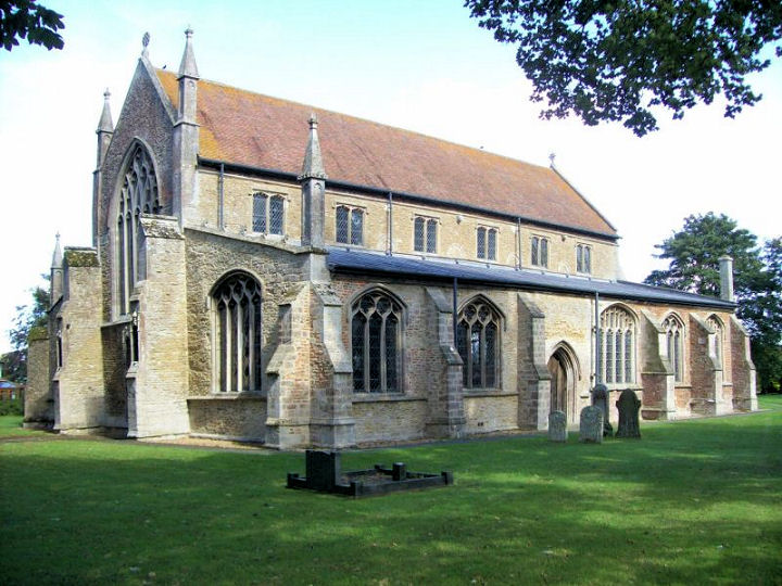
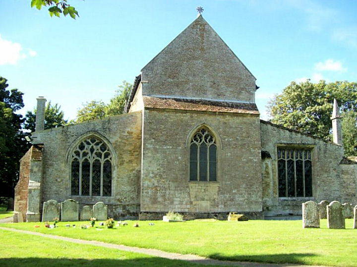
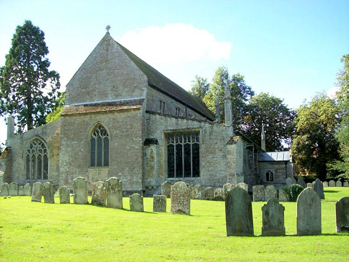
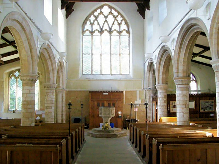
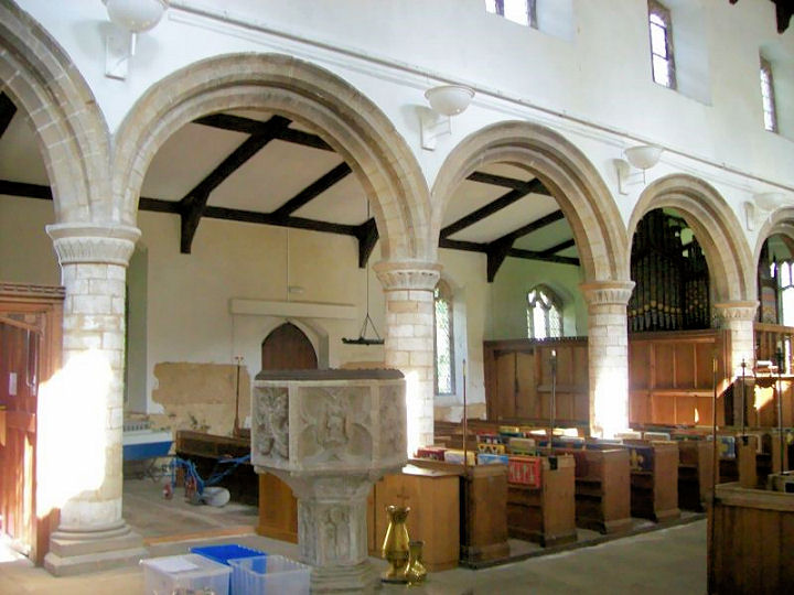
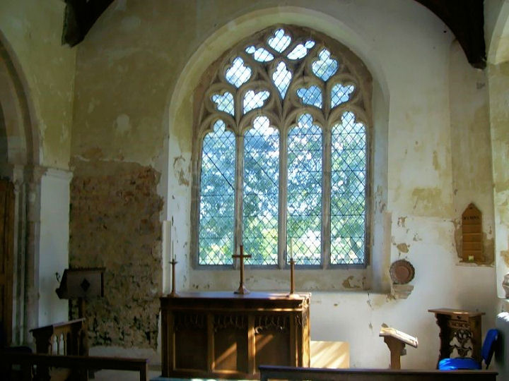
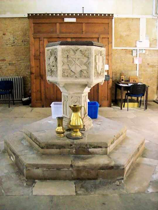
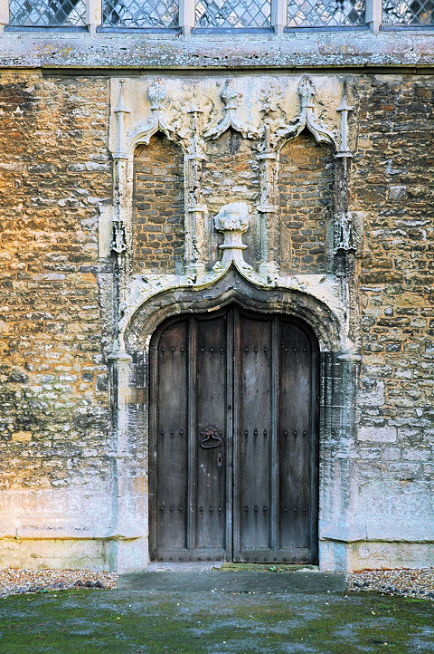
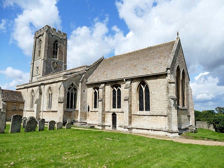
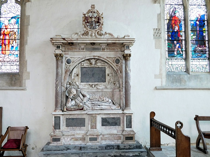
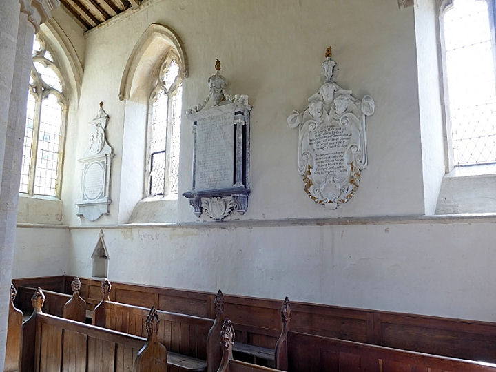
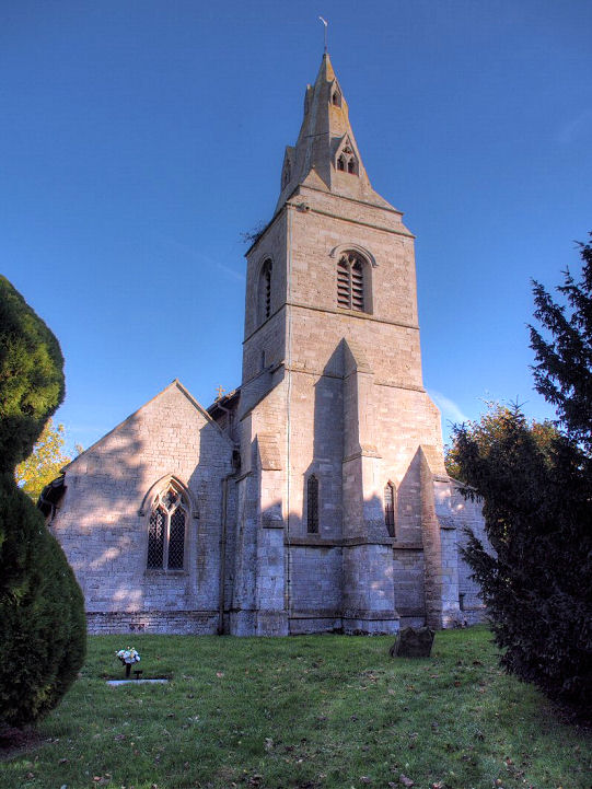
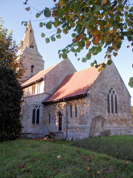
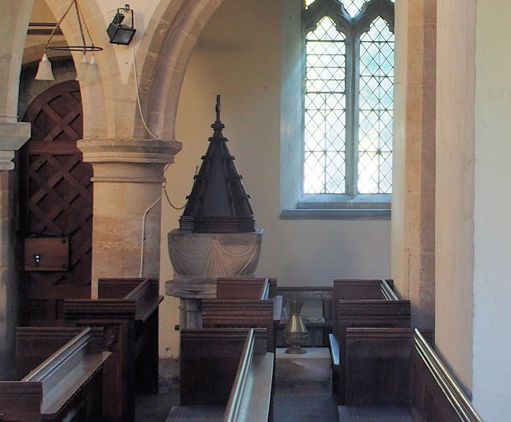
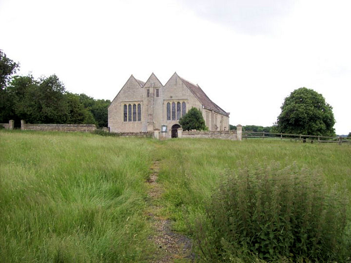
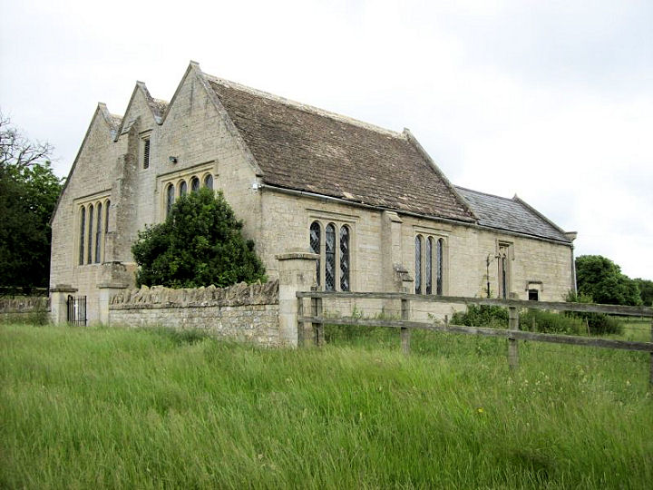
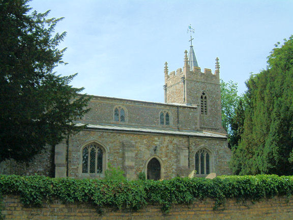
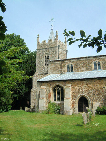
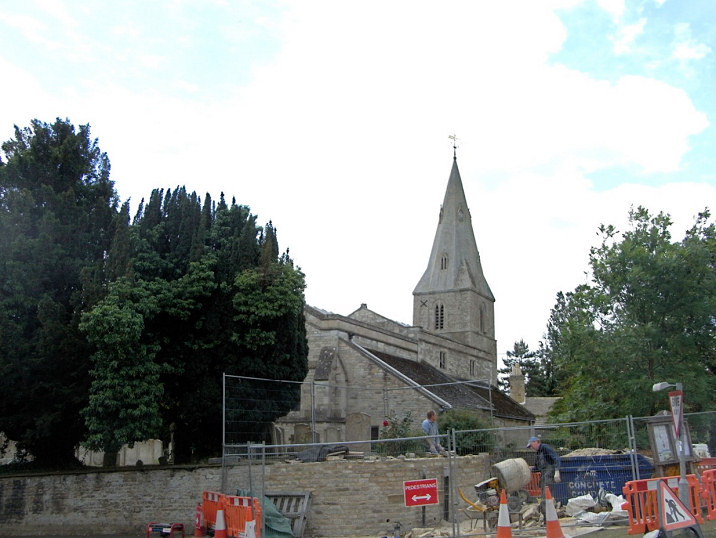
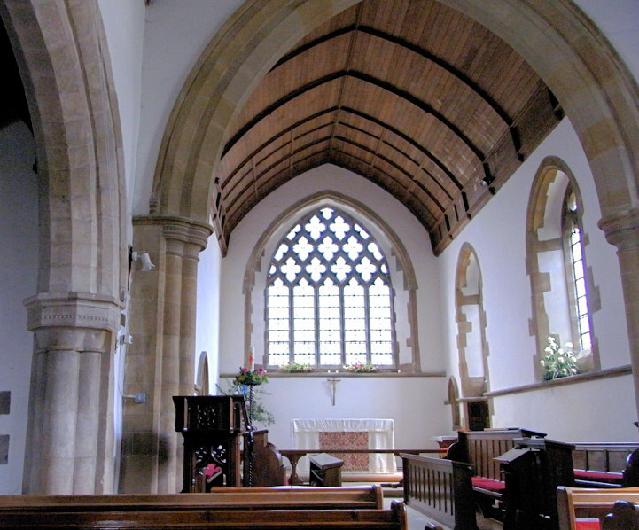
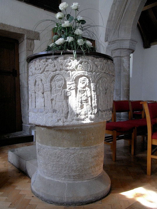
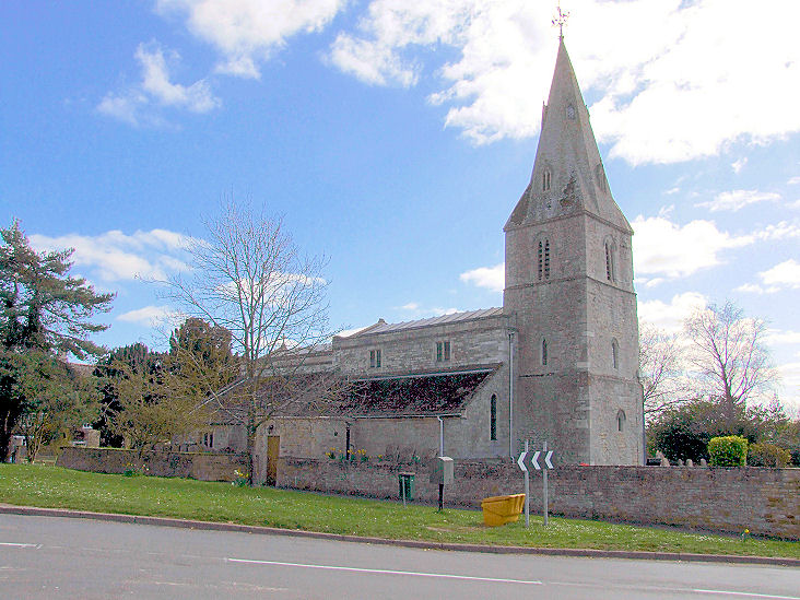
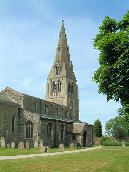
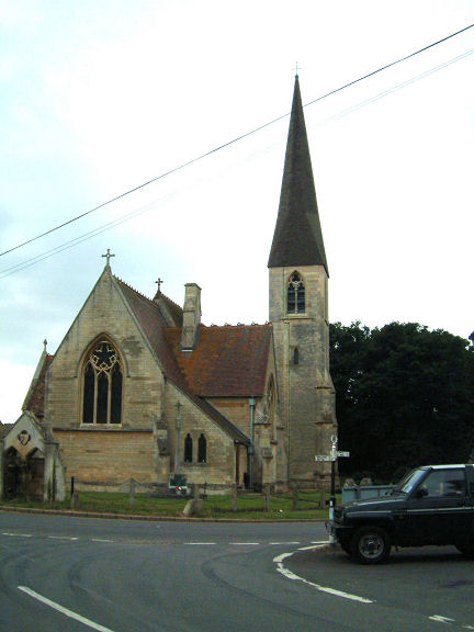
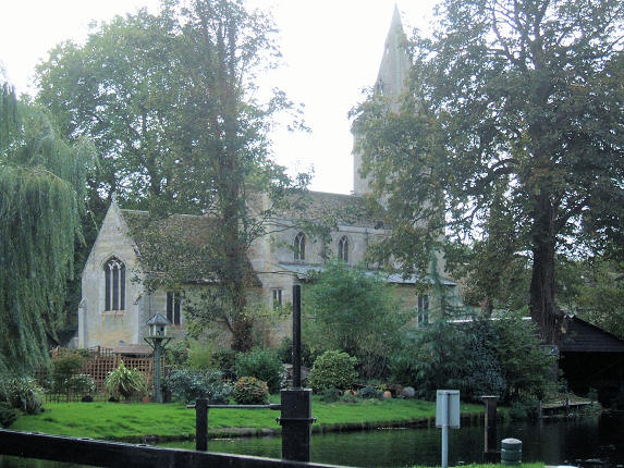
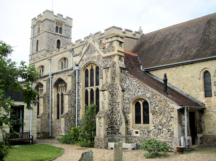
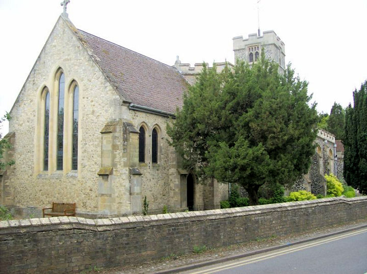
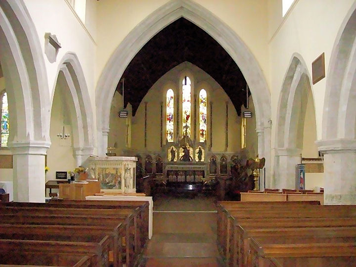
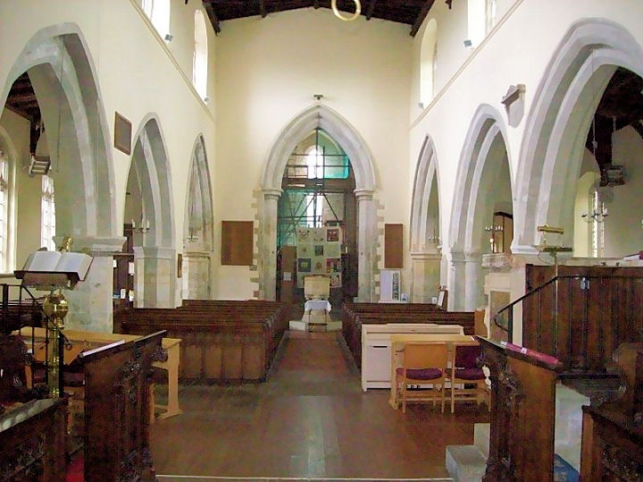
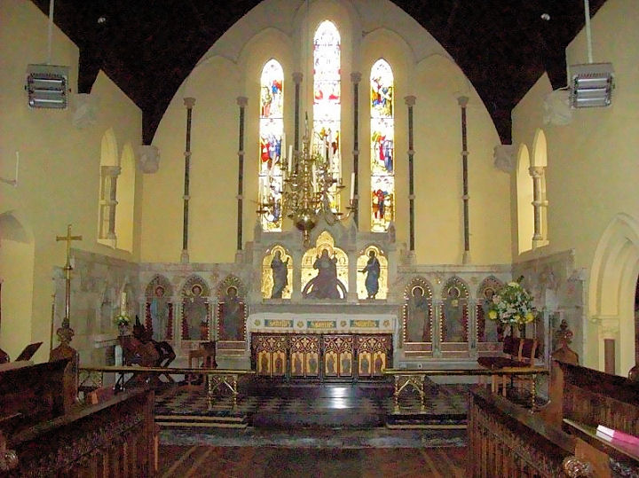
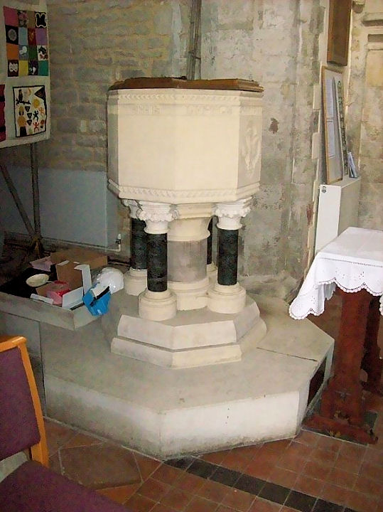
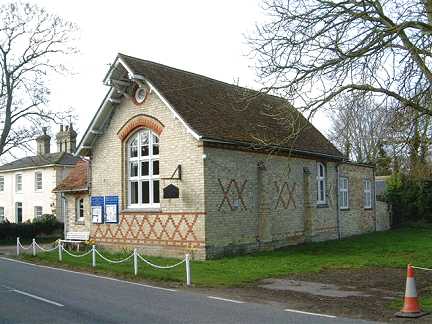
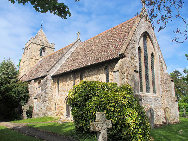
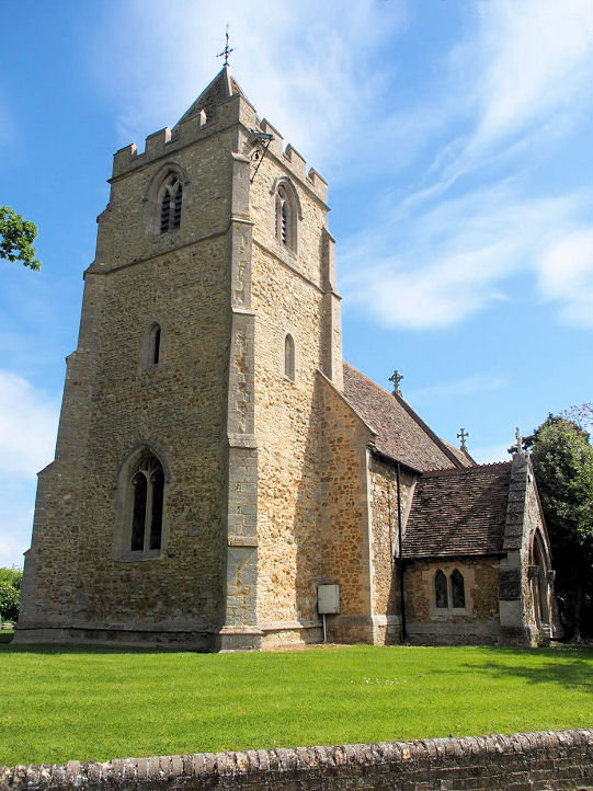
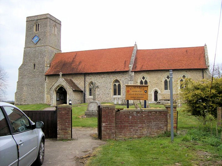
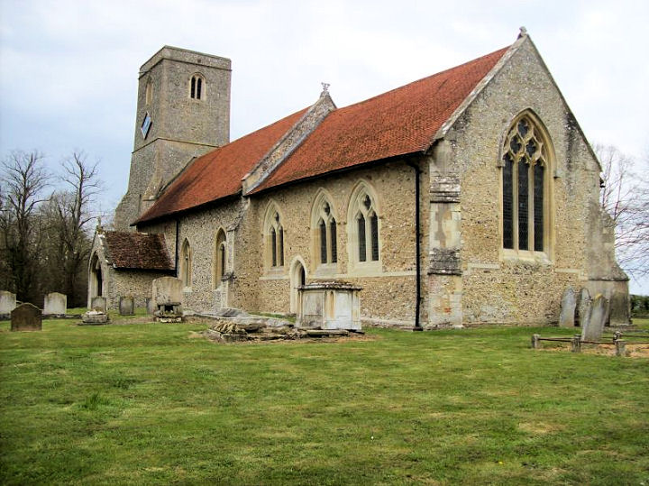
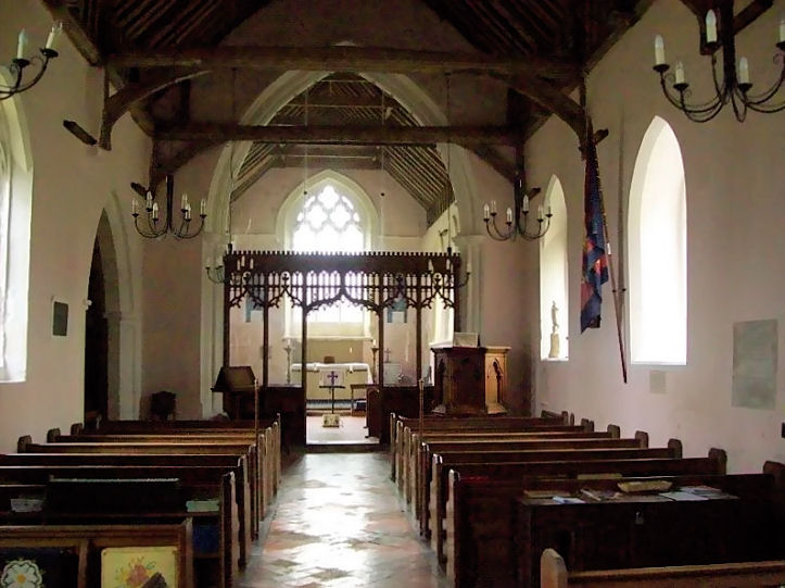
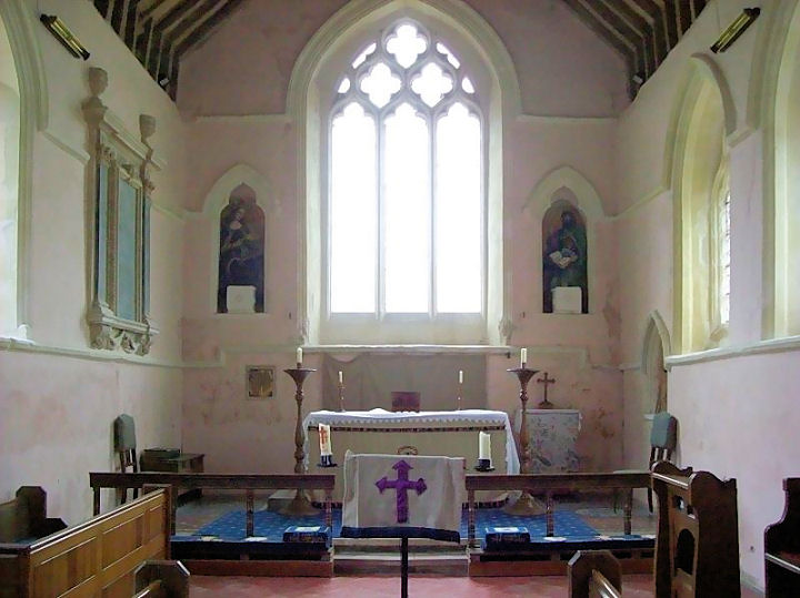
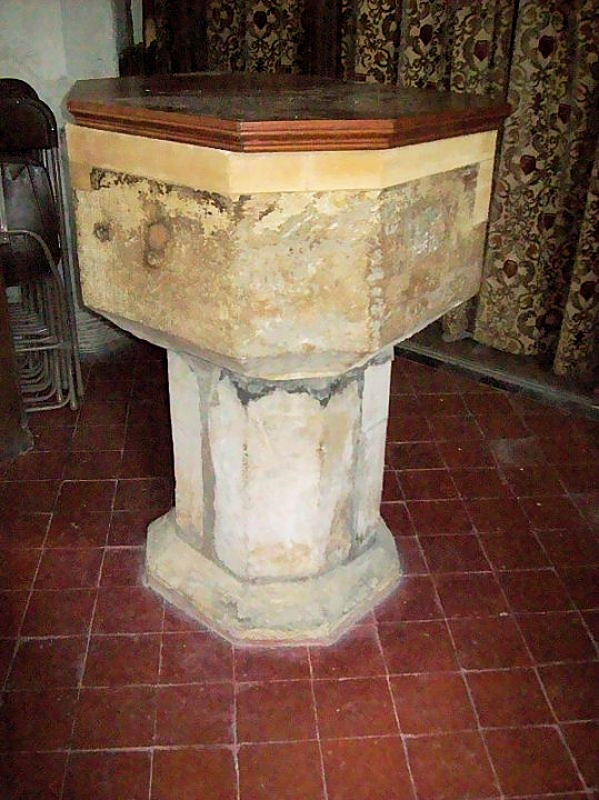
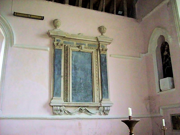
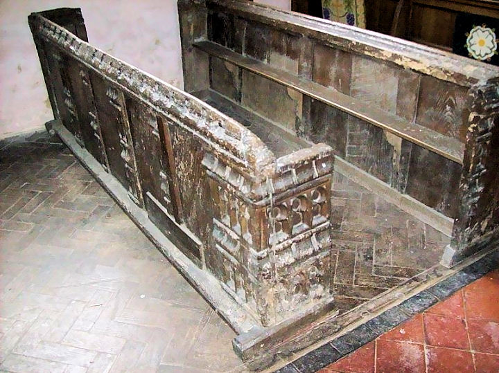
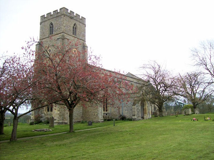
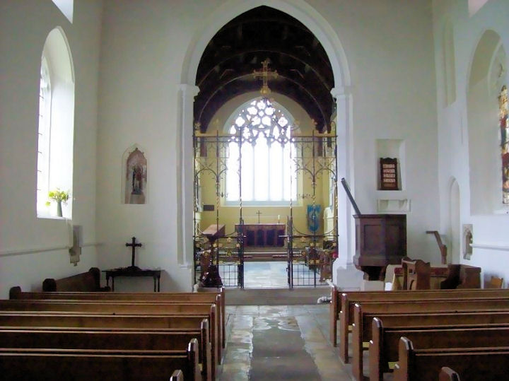
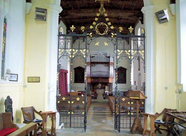
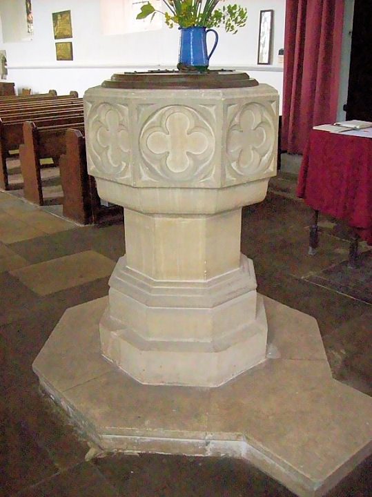
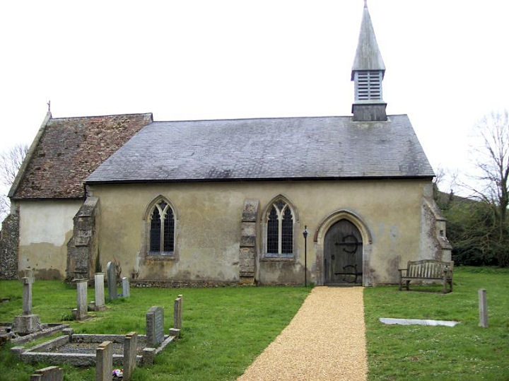
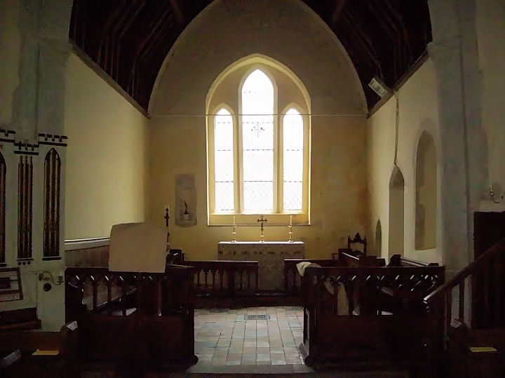
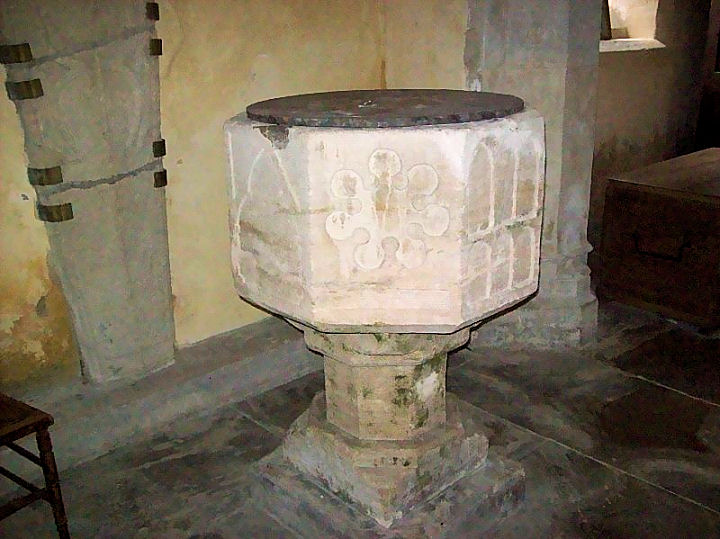
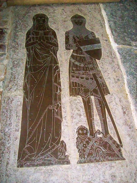
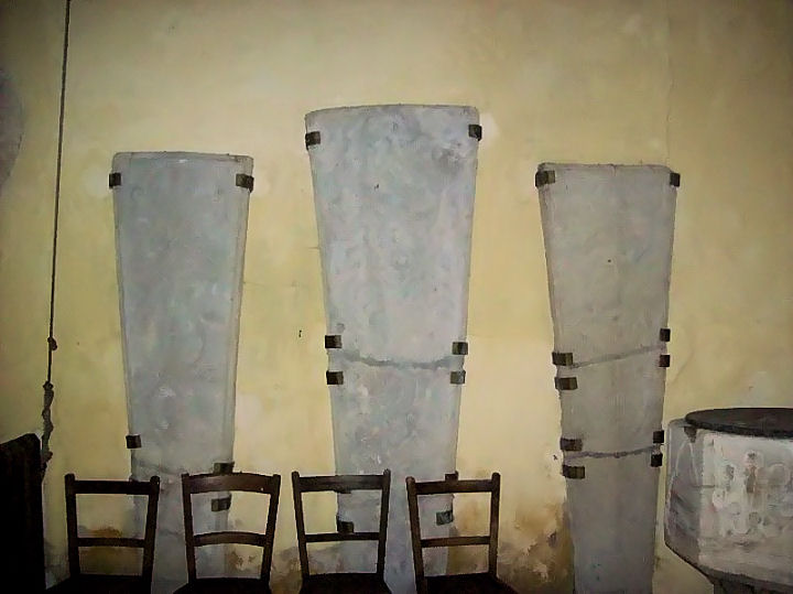
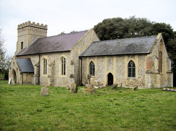
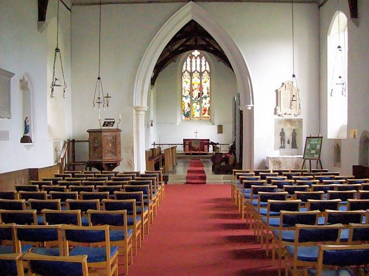
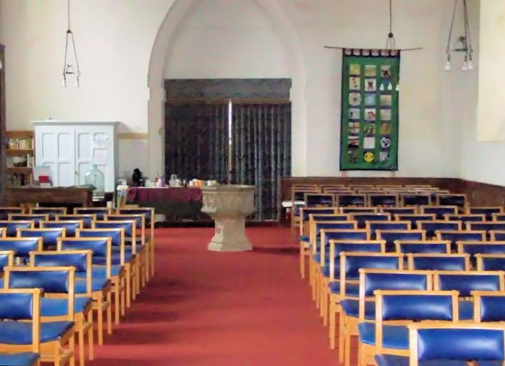
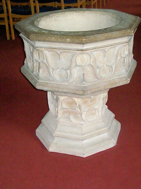
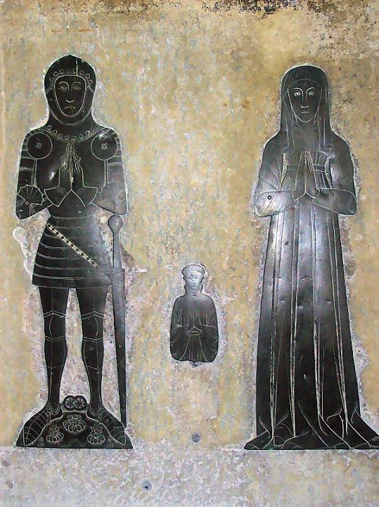
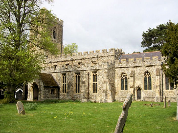
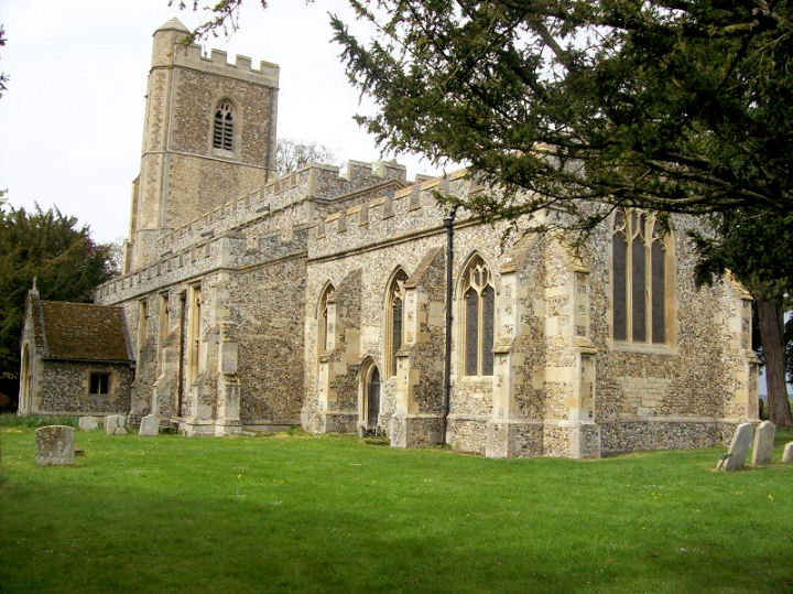
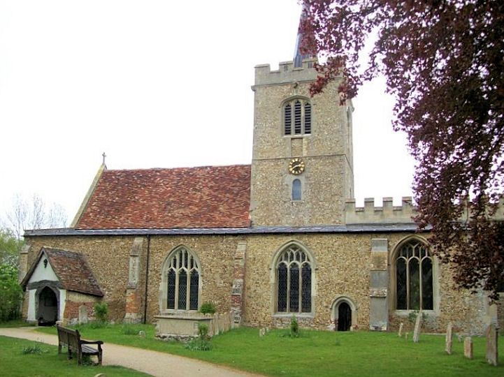
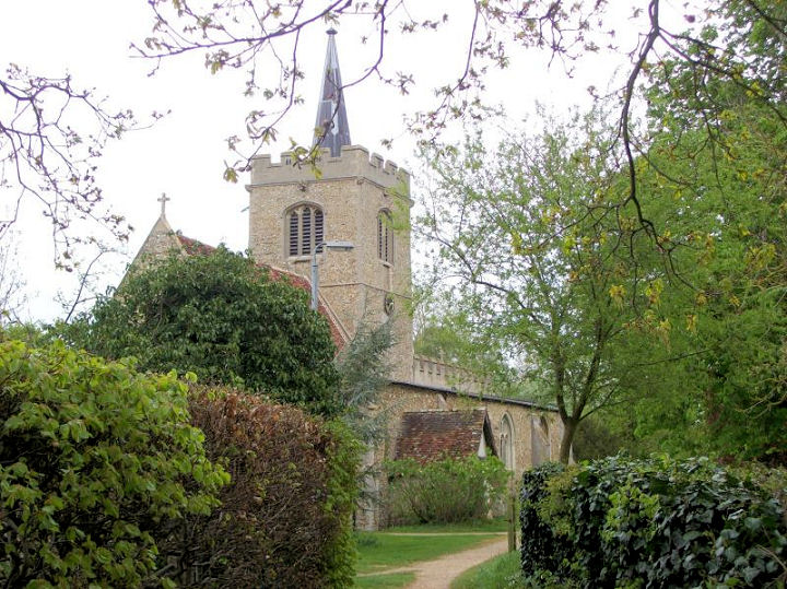
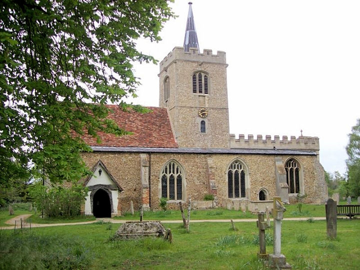
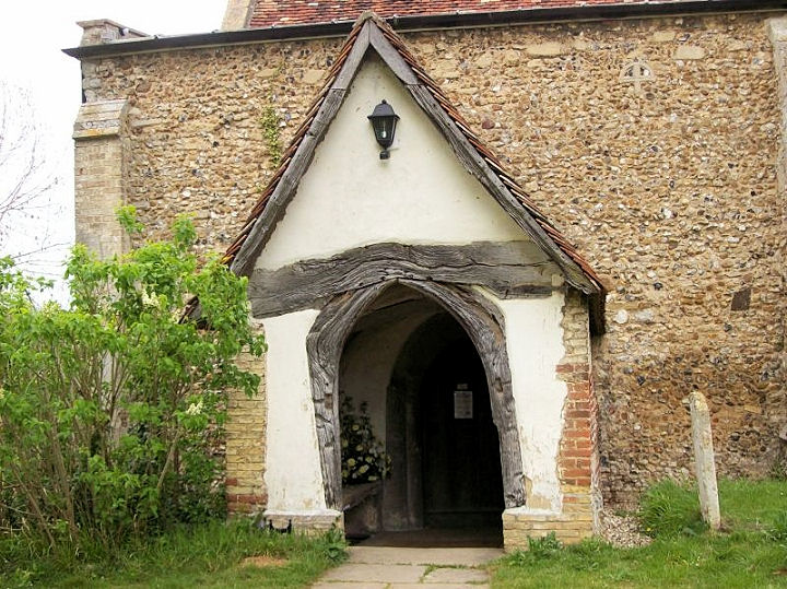
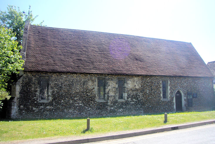
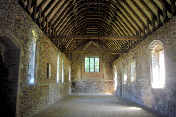
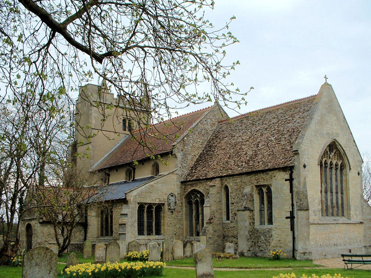
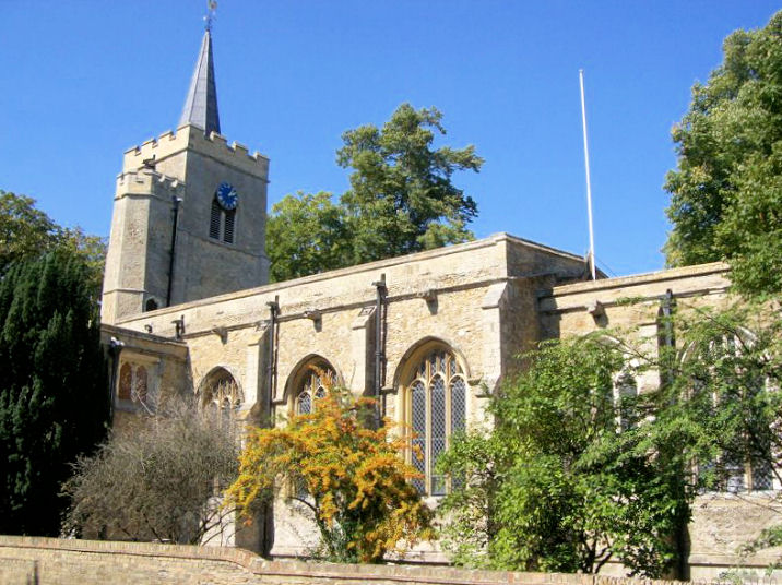
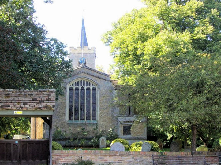
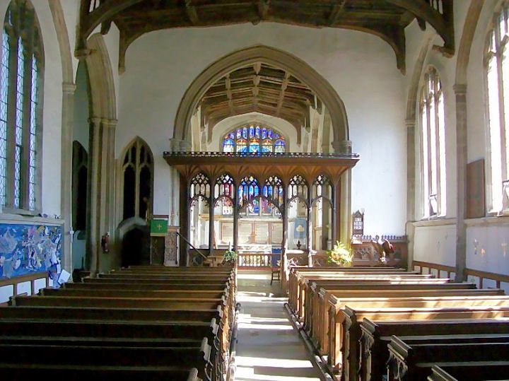
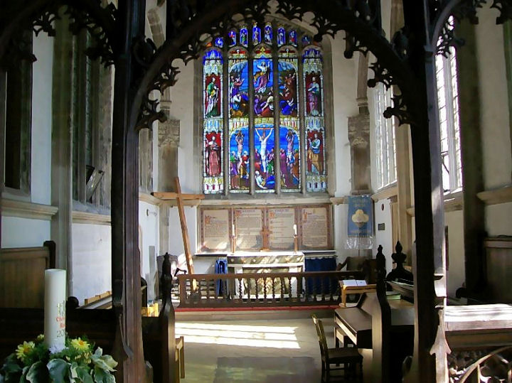
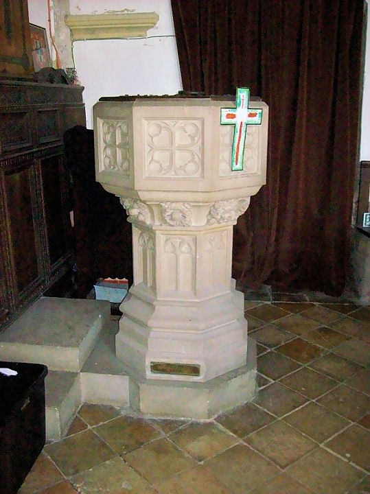
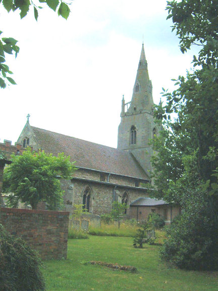
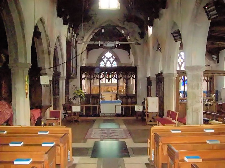
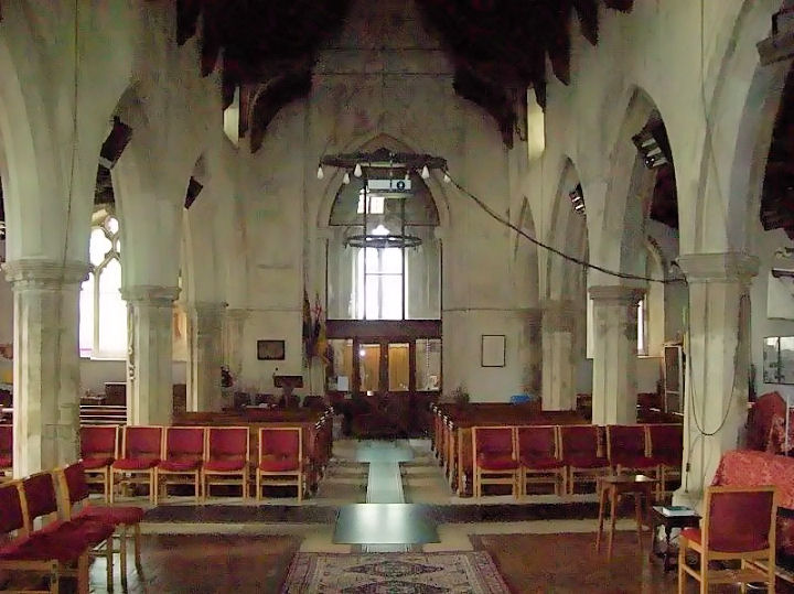
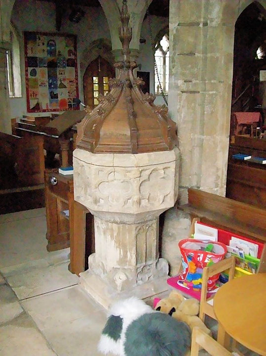
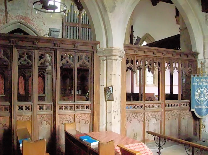
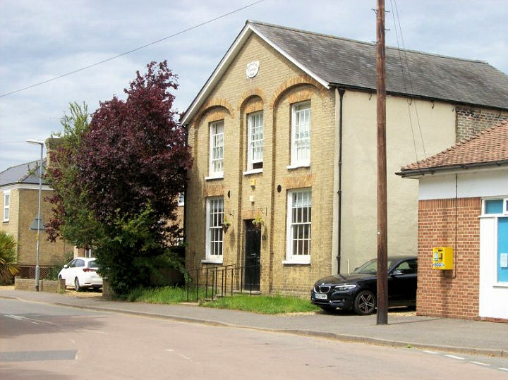
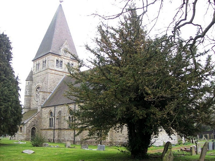
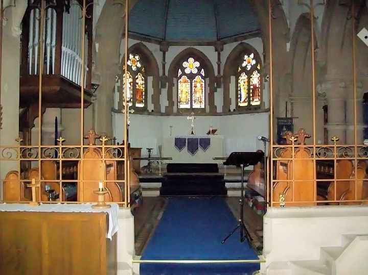
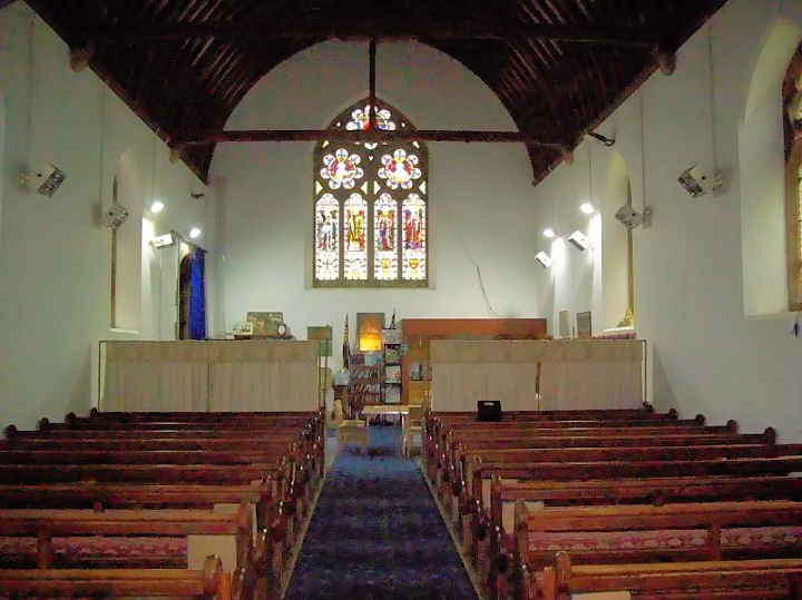
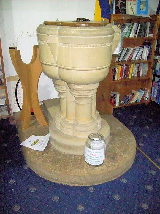
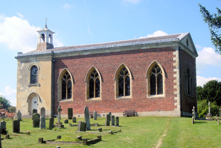
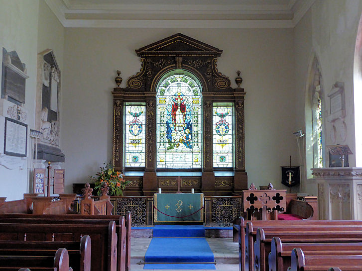
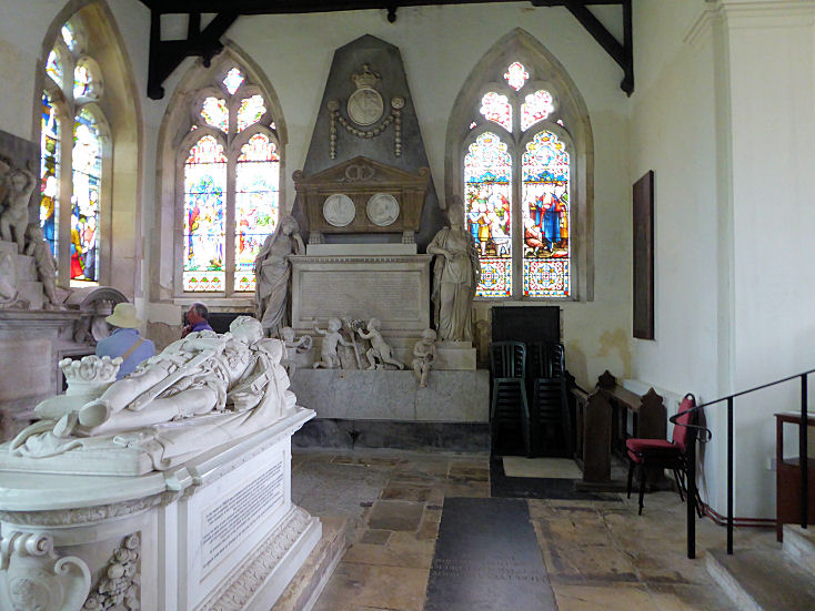
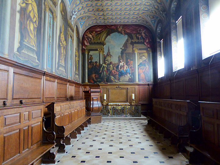
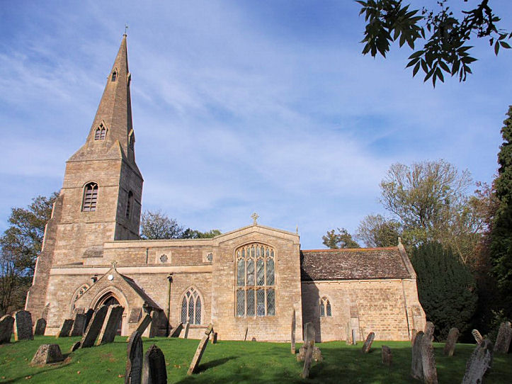
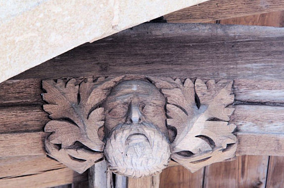
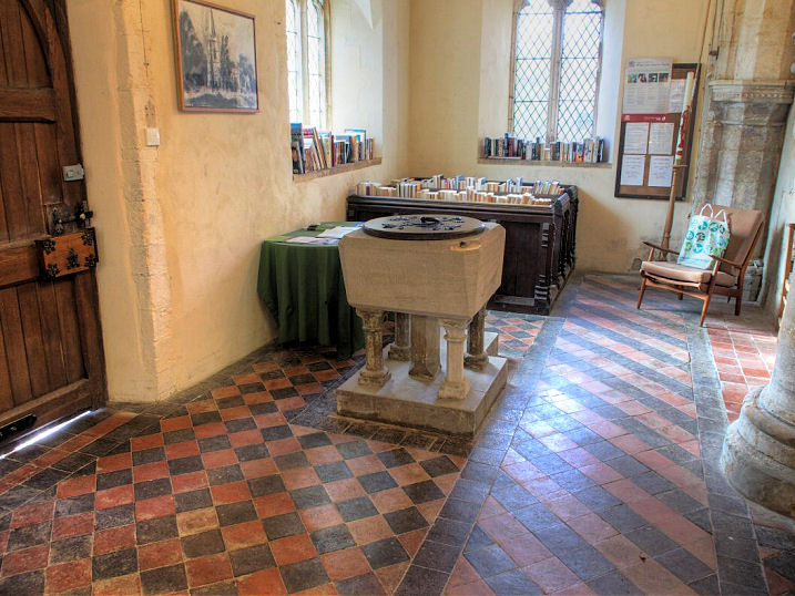
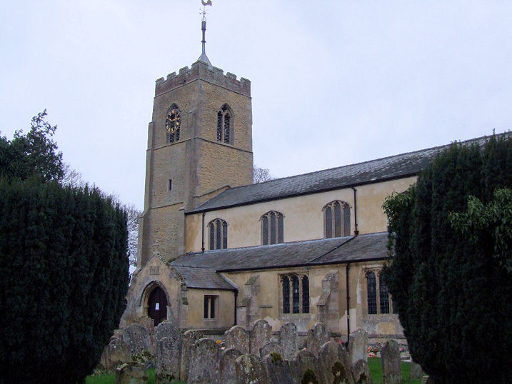
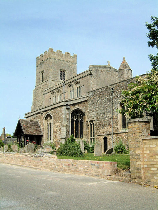
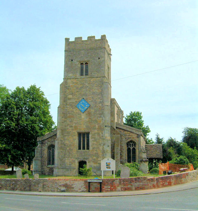
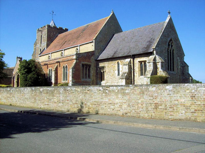
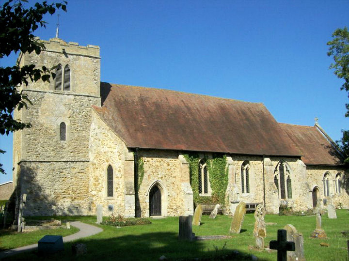
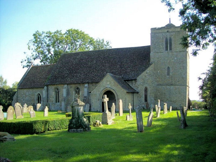
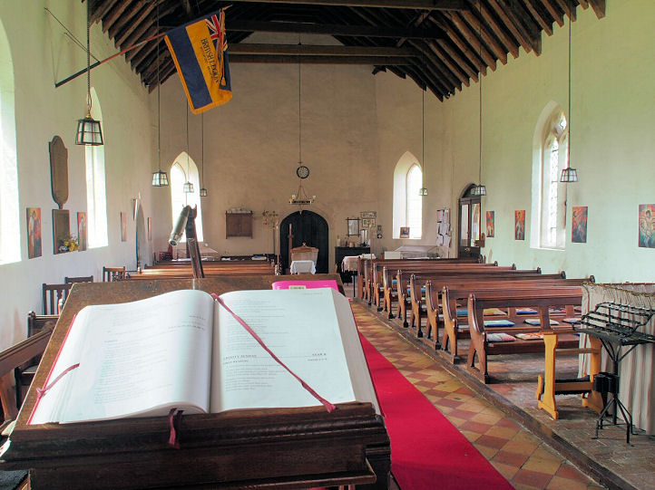
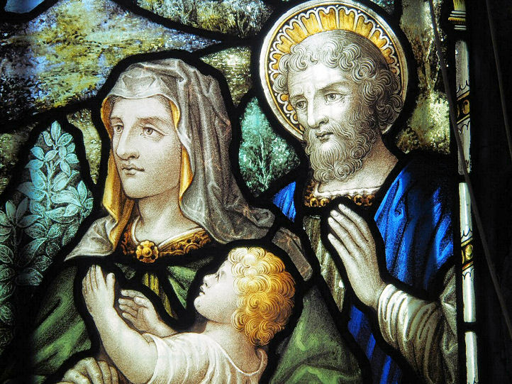
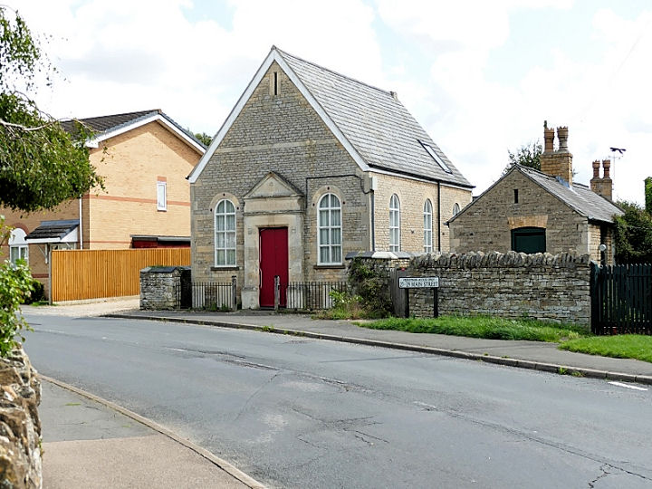
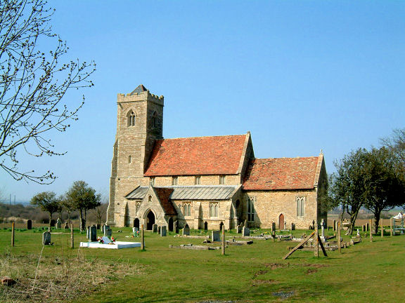
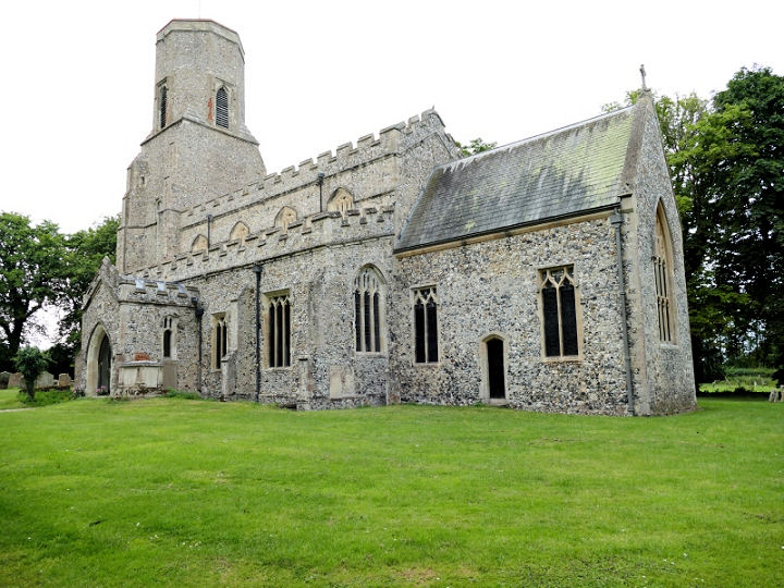
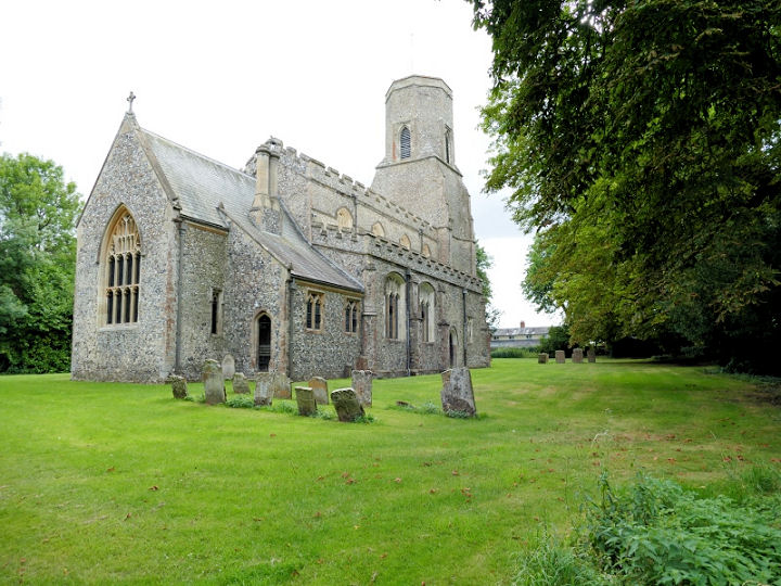
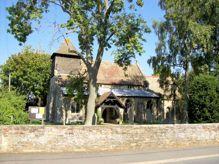
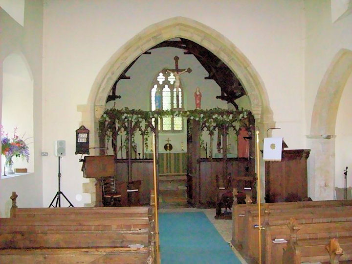
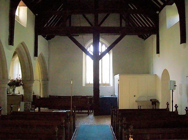
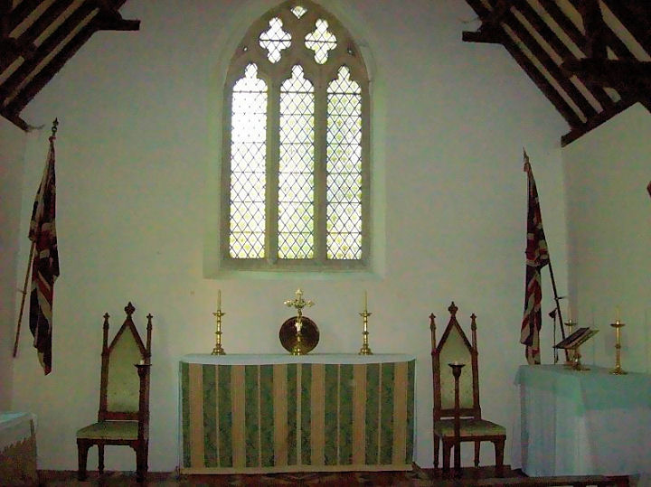
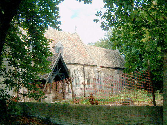
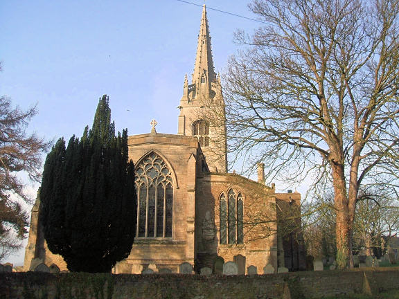
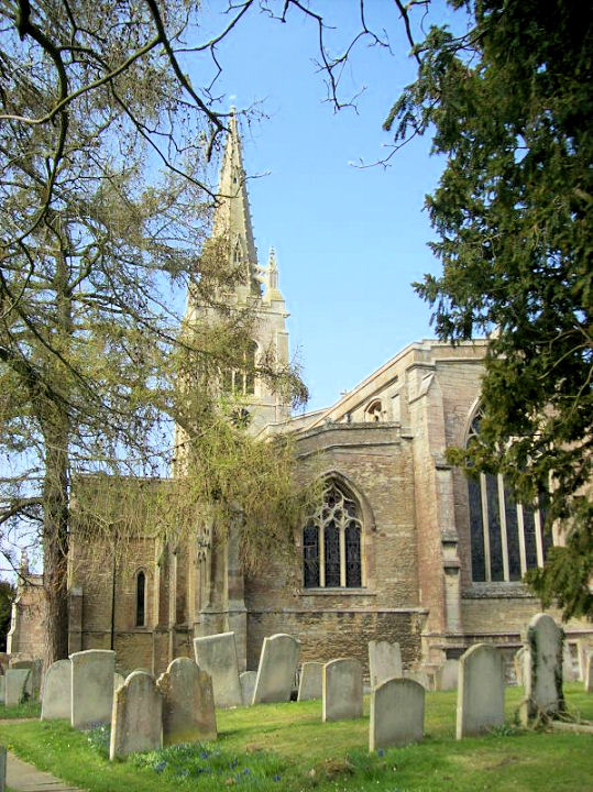
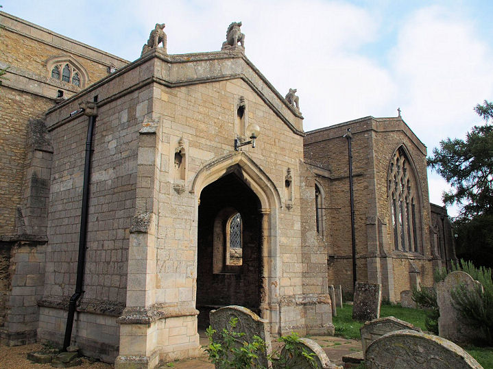
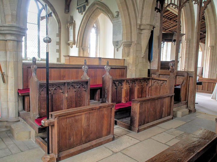
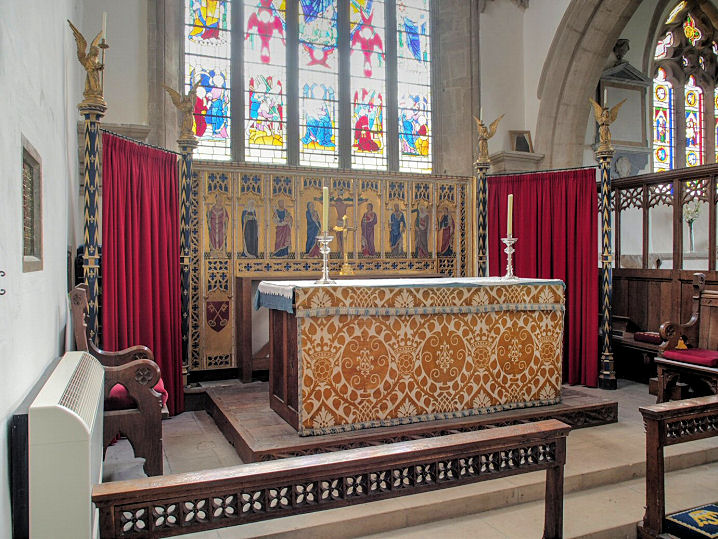
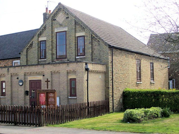
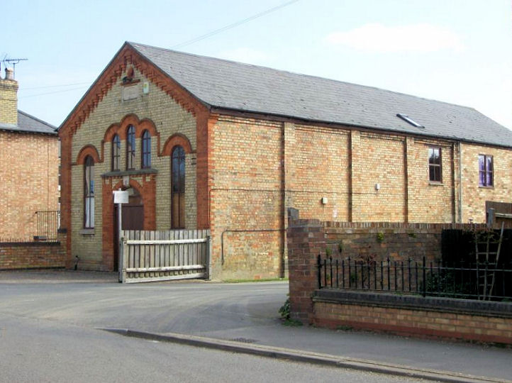
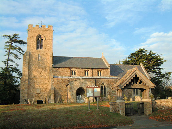