|
|
Derbyshire
Derbyshire on Wikipedia.
Aldercar,
St. John. Another
view. SK 4464 4790. Both © David Regan (2021). Link.
Alderwasley,
All Saints (1849-50) on Higg Lane. SK 32 532. © Richard Roberts (2014).
Grade II listed. The village hall is the former
St. Margaret's Chapel.
Situated on Chapel Hill, it dates to the sixteenth century, and was
closed in 1849. © Richard Roberts (2014).
Grade II listed.
Alfreton.
Alkmonton, St. John.
Interior view. SK 1871 3854. Both © James Murray.
Link - dates
it to 1843.
Grade II listed.
Allenton, Derby - see
the
Derby page.
Allestree, Derby.
Alsop en le Dale, St. Michael and
All Angels. Interior view. A
rather beautiful modern window.
SK 1601 5513. All © James Murray.
Link.
Grade II listed.
Alvaston, Derby - see
Derby.
Ambergate, St. Anne. SK 3479 5144. © James Murray.
Link. The former
Methodist Chapel
on Newbridge Road and Derby Road. Built before 1880 as Wesleyan, it's now in
commercial use. SK 3485 5141. © Richard Roberts (2014). The present
Methodist Church is on Devonshire Street.
Not well seen by Streetview, the
church website has a clickable photo. SK 3491 5099.
Bethel Methodist Chapel is shown on a map
of 1885, surveyed no later than 1879. A map from 1900 labels it as
Free United Methodist. It continued in active use into the second
half of the last century. The house on the site today has the same
footprint, but whether it's the converted chapel, or a more recent house
is unclear - 2023
Streetview. SK 3487 5088.
Apperknowle, the Methodist
Chapel on High Street, which was built as Primitive Methodist, opening
in 1879 (according to its My Primitive Methodists
entry). SK 3837 7826. ©
David Regan (2020).
Link. The source already quoted from also mentions an earlier chapel
of 1861 which "stood or stands at
the junction"
of Barrack Road and Chapel Lane, almost opposite the junction with
Quarry Road". It's marked on a map of 1877, immediately south-east of
the junction mentioned, on the west side of the road, and the property
on the site today can be seen
here on a 2009
Streetview. Whether anything of the chapel remains is not known.
Ashbourne.
Ashford-in-the-Water,
Holy Trinity, and its tower.
SK 1950 6972. Both © Bill McKenzie.
Link.
Grade II listed. A churchyard cross is also listed as
grade II. The former
Methodist Chapel, on Court Lane at SK 1955 6974. It's labelled as a
chapel on a map of 1898 (but not the denomination), and had evidently
gone out of use by the time of mid-century maps. It appears on
Geograph, where
it's called Wesleyan, of 1899. © Gervase N. E. Charmley (2011). Another
Chapel shows on the same 1898 map on Buxton
Road at SK 1932 6975. Also unidentified, its
site was seen by
Streetview in 2019. Its likely to be one of the following -
Genuki
mentions an earlier Wesleyan Chapel of 1830, a Congregational (later
Unitarian) Chapel of 1700, re-built 1841, and a Baptist Chapel on
Ashford Lane, built by 1857. I haven't been able to positively locate
any of these.
Ashover, All Saints. It dates
from 1350-1419, and replaced an earlier church on the same site. SK 3487
6313. From an
old postcard in Geoff Watt's Collection.
Another view,
the interior, and the
altar; the
font is a rare example of a Norman lead font, all © David Regan
(2011). Two extra views -
1,
2, a couple of gargoyles -
1,
2, the
cockerel weather-vane (another
adorns the ringing chamber), two more of the interior -
1,
2, two windows -
1,
2, the
list of incumbents, which goes
back to 1086, the tomb of Thomas and Edith Babington -
1,
2, the
eagle lectern, and another
view of the font, all ©
Carole Sage (2018).
Link.
Grade I listed. For related listed features see
here. The former
Butts Methodist Chapel, aka John Smedley's Church. This
link gives dates as 1856-1968, and the denomination as United Free
Methodist. SK 3446 6332. © David Regan (2011).
Ashover Hay, the former
Methodist Church, built as Milltown Primitive Methodist. Its
date-stone says
"Erected 1824, Enlarged 1870".
Another view. SK 3575
6111. All
© David Regan (2021).
Link.
Grade II listed. The cemetery on Moor Road
has a Mortuary Chapel. Its
grade II listing dates it to the mid-19th century. Not seen by
Streetview, a photo can be seen on this
page. SK 3486 6325.
Aston upon Trent, All Saints on
Shardlow Road, of twelfth century foundation.
Interior view. SK 4149 2935. Both © Richard Roberts (2014).
Link.
Grade I listed.
For the listed tombs and lych-gate, see
here. Methodist Church (1967) on The
Green. It stands on the site of a Wesleyan Chapel of 1829. SK 4152 2950. © Richard Roberts (2014).
A
2023 news story discusses its sale at auction.
Atlow, St. Philip & St. James.
Its
grade II listing dates it to 1874. SK
2305 4868. © Bruce Read.
Link.
Ault Hucknall, St. John the Baptist
- in an isolated position to the north of Hardwick Hall.
SK 4674 6523. Kit Heald.
Another view, and a
tympanum, with St, George and
the dragon below, both © David Regan (2011).
Link.
Grade I listed, wherein it says it was restored in the 1880's by
Butterfield. A chest tomb is also listed, as
grade II.
Bakewell.
Ballidon, the derelict All Saints, which
displays "dangerous structure" notices.
Another view. SK 2038 5444. Both ©
James Murray. Interior view, © Iain
Taylor (2016). Link1.
Link2.
Grade II listed.
Bamford, St. John the Baptist. SK 2076
8337. © Mike Berrell. Another view, and
the interior, both © Gervase N.
E. Charmley (2011).
Link.
Grade II* listed. The churchyard gateway and wall are also listed, as
grade II.
Methodist Church
(formerly Wesleyan), built 1821 and re-built in 1899. SK 2077 8364. © Mike
Berrell. Link.
Our Lady of Sorrows (R.C.). SK 2070
8376. © Mike Berrell. Link.
Grade II listed, which dates it to 1882.
Barber Booth,
Edale Methodist Church, as seen by Streetview in 2016. It pre-dates a map of
1883, where it's labelled as Wesleyan. The
church website dates it to
1811. SK 1132 8481.
Barlborough, St. James the Greater on
Church Street. SK 4770 7719. ©
David Regan (2011). Link.
Grade II* listed.The Methodist Church on New Road
shows as Primitive Methodist on a map of 1923 - it's dated
here to 1913. Earlier un-located chapels are mentioned. SK 4752 7719. ©
Bill Henderson (2012).
Link. A map of 1883 shows Methodist Chapel (Free
United) on California Lane, at SK 4736 7730. Its
site was seen by
Streetview in 2023. It seems to have gone out of use by the time of a map
revised no later than 1914, though what may be the same building is marked as a
Sun. Sch.
Barlow, St. Lawrence. SK 3442 7469.
Link, with a good history
here.
Grade II* listed. Methodist Church
on Millcross Lane (about ½ a mile N.N.W. of the village), built as Primitive Methodist in 1892. SK 3401 7539. Both © Les
Needham (2017).
Barrow Hill, St. Andrew (1894) on
Station Road. SK 4193 7547.
© David Regan (2020).
Link. The Methodist Church
on Cavendish Place was originally United Free Methodist, of 1872. This
source (a good history of the Methodists in Barrow Hill) also mentions an
earlier chapel (Ebenezer) being referred to in a document of 1857, though its
precise location isn't known. SK 4178 7528. © David Regan (2020). There
was also a Primitive Methodist Chapel in the
village, on Campbell Drive, at SK 4151 7550. Now demolished, old maps show that it had been built before
1877, a map of 1961 marks it as Zion Methodist Church, and a 1967 map as
simply "Ch.". Its date of closure and demolition are so far undetermined.
Link.
Barrow-upon-Trent, St. Wilfrid on Church
Lane, and its interior. SK 3529 2839.
Both © Richard Roberts (2013 & 2026).
Link.
Grade I listed. The former
Bethel Chapel on Chapel Lane, dated 1839,
is now a private residence. The listed building entry (grade
II listed) says it was (recently?) Methodist. Maps of 1885 and 1901 label it as Congl.,
however. SK 3544 2852. © Richard Roberts (2013).
Baslow, St. Anne. SK 2517 7233. © Bill
McKenzie. Another view, © Peter Morgan.
And an old
postcard view from Reg Dosell's
Collection. Link.
Grade II* listed. For related listed features see
here. Baslow Methodist Church.
The roundel above the door has "Wesleyan Methodist School 1822", so there must
have been an earlier chapel building elsewhere. This
source says it only became the
chapel in the 1960's. SK 2541 7243. © Steve Bulman (2011). This document locates
the earlier Chapel at Over End, and dates it to 1796. A map of 1883 shows a
Chapel at the junction of School Lane and an access
Road, at SK 2548 7248. No available later maps label it any more helpfully. The
building on the site today was seen by
Streetview in 2023 (the
recessed central part of the building has a sign saying Over End Cottage).
On the same map of 1883, just a few yards behind the Chapel further from the
road is another one, labelled as Zion Chapel (Wes. Ref.
Meth), at SK 2545 7251 or SK 7546 7251 (it isn't clear which building the
label is referring to). It isn't indicated as a place of worship on later maps.
It (or its replacement) hasn't been seen by Streetview.
Beeley, St. Anne.
Interior view, and a detail
from the carving at the right hand side of the chancel arch. SK 2649 6765. All © Steve Bulman.
Link.
Grade II* listed. The village also has a former
Methodist Chapel (2023
Streetview) on Chapel Hill at SK 2653 6753. It's dated
here to 1891-1999, originally as Wesleyan. The same source says it was
preceded on the same site by a chapel of 1807.
Belper.
Biggin, St. Thomas. SK 1543 5935. © Peter Morgan.
Link. The
history
page dates it to 1844. The converted former Primitive Methodist Chapel
on Main Street. It's dated
here to 1842. SK 1561 5934. © Richard Roberts
(2014).
Birchover, Church of the Holy Name of
Jesus, St. Michael and All Angels (1717) on Rowtor Lane. SK 2358 6210. © Richard
Roberts (2014). Link.
Grade II listed. The former
Primitive Methodist Chapel (1867) on
Main Street and Upper Town Lane, now a private residence. SK 2393 6214. ©
Richard Roberts (2014).
Link. The former
Wesleyan Reform Church on Main Street. Built 1851, re-built in 1908, and now
closed and boarded up. SK 2399 6218. © Richard Roberts (2014). By 2022 it
appeared to be in domestic or commercial use -
Streetview.
Blackwell,
St. Werburgh.
Another view. SK 4440 5841. Both © David Regan (2010).
Link.
Grade II listed - dates it to 1824-7. There's also a
grade II listed tombstone in the churchyard. For Blackwell Methodist Church
see Primrose Hill below.
Bolehill, the former Methodist Chapel
(originally Primitive) on Bolehill Road. This
source dates it to 1852, replacing an un-located earlier chapel. Another
source says it closed in 2010. SK 2924 5499. © Gerard Charmley (2011).
Bolsover.
Bonsall, St. James.
Another view. SK 2798 5814. Both © David Regan (2010).
Link.
Grade II* listed. Ebenezer Wesleyan
Reform Chapel (1893) on The Dale. SK 2721 5814. © Gerard Charmley (2011).
Bonsall Assemblies of God Church (Pentecostal) on High Street. The oldest
available on-line map (1884) shows it as Primitive
Methodist, in 1900 as a Temperance Hall, 1920's maps show it as secular, and by
the mid-20th century as an un-labelled place of worship, and Gerard photographed
it as AoG in 2011. In 2024 it was being labelled as Village Life Church
on Google Maps. This
source dates it to 1852, originally as Primitive
Methodist. SK 2782 5846. © Gerard Charmley (2011).
Link (for Village Life Church, under
construction). The former
Baptist Chapel on Yeoman Street is dated 1824. SK 2787 5822. © Gerard Charmley (2011).
Grade II listed. The former United
Methodist Free Chapel on Yeoman Street. Pre-dating a map of 1884, it still
shows as active on a map of 1960, presumably as Methodist. SK 2792 5803. © Gerard Charmley
(2011).
Borrowash, St. Stephen (1889) on Gordon
Road. SK 4171 3442. © Richard Roberts (2015).
Link.
The churchyard war memorial is listed as
grade II (the church itself isn't listed).
St. Hugh (R.C., 1959) on Derby Road.
SK 4134 3467. © Richard
Roberts (2015). Link.
Methodist Church
of 1900 on Nottingham Road and Chapel Row. SK 4178 3451. © Richard Roberts
(2014). Link. Its predecessor was
presumably this former
Wesleyan Church (1825) on Chapel
Row, now in commercial use. SK 4176 3453. © Richard Roberts (2014). The
former Primitive Methodist Chapel on
Victoria Avenue. SK 4172 3469. © David Regan (2021). Its
immediate predecessor stands directly across the road at SK 4169 3470 and can be
seen in a Streetview from
2019. It's dated here
to 1851, closing "before 1905", presumably when its replacement was built.
Boylestone,
St. John the Baptist on The Square, founded in the fourteenth century.
Interior view. SK 1816 3582. Both
© Richard Roberts (2014).
Link.
Grade II* listed.
Boylestone Methodist Church on Chapel
Lane, Harehill. It was built as Primitive Methodist in 1846. SK 1751 3566. ©
Richard Roberts (2014).
Link - a comment on the page says it was closed in 2024. There used to be a Wesleyan Methodist Chapel
on Audishaw Lane, at SK 1822 3593. This
source dates it to
1809. It's no longer marked as a place of worship on a map of 1960, though a
building survived. Aerial views suggest that it has been demolished, though the
view is heavily obscured by trees. Access to it may have been via the
path seen in a Streetview
from 2023.
Brackenfield, Holy Trinity. SK
3728 5901. © James
Murray. An old postcard view,
from Reg Dosell's Collection.
Link.
Grade II listed, wherein it's dated to 1856-7. The lych-gate is also listed,
at
grade II. The church website mentions
the remains of a 16th century predecessor, on a medieval site, also Holy
Trinity, at Highoredish. It shows on O.S. maps at SK 3586 5935. Not seen by
Streetview, there are a couple of photos
here,
where it says that
it "was finally abandoned in 1857".
Grade
II listed. The
Methodist Church stands less than half a mile W.S.W. of the church. It
post-dates a map of 1884, and is shown on one of 1899 as U.M. Church
(United Methodist). SK 3666 5881. © James Murray. The lack of a web presence in
2024 suggests that it may have closed.
Bradbourne,
All Saints. SK 2081 5276. ©
Bruce Read. Link.
Grade I listed. For the listed sun-dial and cross, see
here.
Bradley,
All Saints on Yew Tree Lane, dating from 1370-80. Interior view. A
plaque gives a little history. SK 2234
4597. All © Richard Roberts (2014).
Another view, © Barry Thomas (2016).
Link.
Grade II* listed. The stump of a churchyard cross is also listed, as
grade II.
Bradwell.
Brailsford,
All Saints on The Green and Church Lane, a C12 foundation.
Interior view. SK 2449 4128. © Richard Roberts (2014 & 2024).
Link.
Grade I listed.
For related listed features, see
here. The Methodist Church
on Main Road was built as Primitive Methodist in 1843 and re-built in 1923 (source). SK 2541 4152.
© Richard Roberts (2014).
Link. The
former Wesleyan Methodist Chapel
on Painter's Lane (N.W. of the town), now a private residence. SK 2476 4188. © Richard Roberts
(2014).
Brampton - see the
Chesterfield page.
Brassington, St. James. SK 2302 5432. ©
James Murray. Another view, © Bruce
Read, and the interior, © Richard
Roberts (2024). Link.
Grade II* listed. The former Primitive Methodist Chapel
on Hillside Lane, now a
private residence. Its
grade II listing dates it to 1834, and it was still in active use in the
1950's. SK 2292 5429. © Bruce Read.
Link. The former
Congregational Chapel at Dale End. Founded in 1845, since 1982 it has served
as the village hall. SK 2318 5448. © Richard Roberts (2014). A map of 1899 also
shows a Wesleyan Reform Union Chapel at the west
end of the village. It had gone out of use by 1960. Now Wesleyan House,
it was seen by Streetview
in 2011. SK 2273 6416.
Breadsall,
All Saints on Church Lane. SK 3710 3980.
Link.
Grade I listed. The former
Wesleyan Methodist Chapel on
Brookside Road is now in secular use. The
date-stone is a little unclear.
it was still active at least up to the mid-20th century. SK 3739 3957.
All © Mike Berrell (2011).
Grade II listed, wherein it's dated to 1826. For
Breadsall Augustinian Priory see Morleymoor on the
Derbyshire page.
Breaston,
St. Michael on Main Street. SK 4600 3351. © Richard Roberts.
Link.
Grade I listed.
Methodist Church (built as
Methodist New Connexion in 1803; subsequently United Methodist) on Main Street.
Interior view. SK 4601 3357.
Both © Richard Roberts. Link. The former
Bourne Primitive Methodist Chapel
on Bourne Square. Converted from a wheelwright's shop in 1850, it closed as a
place of worship in or about 1932, and is now a private residence.
Hugh Bourne was one of the founders of Primitive Methodism. SK 4607 3351.
© Richard Roberts. Breaston Cemetery Chapel (1923) on
Longmoor Lane. SK 4681 3432. © Richard Roberts.
Bretby, St. Wystan on The Green. Although
founded in the 17th century, the present building dates from the complete
re-build of 1877-8. SK 2942 2328. © Richard Roberts (2014).
Link.
Grade II listed. Bretby Crematorium on Geary Lane has two
chapels, both dating from 1975 -
Carnarvon Chapel
and Anglesey Chapel. SK 289 226.
Both © Richard Roberts (2018).
Brimington.
Buckland Hollow, the site of
the demolished Wesleyan Methodist Chapel. A source
dates it as Wesleyan from 1886, it having been a church before this, from 1840.
An O.S. map of 1880 labels it as Church, but later maps have it as
Meth. Chap. I haven't been able to discover its allegiance in its early
years, or its date of demolition. SK 3762 5176. © David Regan (2021).
Burbage, Buxton - see
Buxton.
Burnaston, the former Primitive
Methodist Chapel on Main Street. Now in use as the Village Hall, but still also
used for worship. Older O.S. maps label it as Mission Church. This
source says it was built as Anglican in 1839, the P.M.'s moving in later. SK 2889 3245. © Mike Berrell (2011). Pastures Hospital on
Hospital Lane (originally the County Lunatic Asylum) had a private church
(ca. 1870), now closed. SK 2985 3314. © Mike Berrell.
Link.
Grade II listed.
Buxton.
Buxworth.
Caldwell (sometimes Cauldwell), St. Giles, a C12 foundation,
on Church Lane. SK 2541 1720. © Richard Roberts (2014).
Link.
Grade II listed. A former
Baptist Chapel
(2023 Streetview) survives on Main Street, at SK 2546 1737. It's dated
here to 1785. A
map of 1960 shows it as still active at that date.
Calke, St. Giles,
of 1826. SK 3693 2234. © Graeme Harvey. Two additional views -
1, 2,
both © Janet Gimber (2014). Two interior views -
1,
2, a,
window, and the two fonts -
1,
2, all
© Chris Stafford (2013).
Link.
Grade II listed. For related listed features see
here. Nearby is a house called
Calke Abbey (2010
Streetview) on the site of an Augustinian Priory, of which nothing seems to have
survived above ground. SK 3669 2269.
Link.
Grade
I listed.
Calow, St. Peter. © James Murray.
Link.
Grade II listed, wherein it's dated 1869.
U.R.C.
on Top Road. It's marked on older maps as Congregational, and pre-dates one of
1883. © James Murray.
Calver, the
Methodist Church, originally Jubilee Primitive Methodist Chapel (1860). SK 2424
7451. ©
James Murray. Interior view, ©
Mike Berrell (2010).
Link1.
Link2.
Carsington, St. Margaret. SK 2524
5343. © Bruce
Read. Link.
Grade II* listed - dates it to 1648. The
former Chapel in a Barn. A C17
barn, for which the upper story was used for non-conformist worship. It's
interesting how the same events can be spun to give two completely different
stories: according to here,
it was "apparently, mistakenly pulled down" and re-built near Carsington Water
by Severn Trent Water. The official
Carsington Water
Facebook page says it was "dismantled piece by piece". It now
stands near to the Visitor Centre, and serves as the HQ for the Volunteer
Rangers. SK 240 516. © Richard Roberts (2014).
Castleton, St. Edmund. SK 1503 8291. ©
Peter Fowler. Another view. The
interior is very satisfying, with box pews (detail),
and a Norman
chancel arch. All © Steve Bulman.
Link.
Grade II* listed.
A churchyard sun-dial is also listed, as
grade II.
Methodist Church
(1898) on Buxton Road. SK 1482 8298. © Steve Bulman.
Link. The former
Wesleyan Methodist Chapel (1809-1898) off Back Street. SK 1504 8297. © Steve Bulman.
Link. The village also had a Primitive Methodist
Chapel on Pindale Road (formerly Bargate), built in 1803 (source).
A house now stands on the site, seen in the background of a
2011 Streetview - does
anything of the chapel survive? SK 1512 8273. It was superseded by a new P.M.
chapel in 1909 which survives as the village hall on How Lane.
2023 Streetview. SK 1525
8303.
Link.
Cauldwell - see Caldwell, above.
Chaddesden, Derby - see
Chaddesden.
Chapel-en-le-Frith.
Chapel Milton, Chinley Independent Chapel on Hayfield
Road. Interior
view. SK 0552 8200. ©
Mike Berrell. Link.
Grade II* listed, wherein it's dated to 1711.
Charlesworth.
Chellaston, St. Peter, on High Street.
Another view. SK 3812 3038. Both ©
James Murray. Link.
Grade II* listed.
Methodist Church on High Street. Originally Wesleyan, it's dated to 1876
here. Three interior views -
1, 2,
3. SK 3800 3035. All © Mike
Berrell (2010).
Link. An earlier Wesleyan Chapel dated 1816
survives on Chapel Lane and Pit Close Lane. Later used as a Sunday School it's
now in residential use. 2022
Streetview. SK 3827 3036. There used to be a Baptist
Chapel on Derby Road, at SK 3782 3044. The earliest available map (1885)
labels it as Bapt. Chapel (General), and it was still in active use when a map
of 1960 was surveyed, but it was later demolished. Its site now lies beneath the
Parkway junction with Derby Road (2023
Streetview). A photo of the chapel can be seen
here. There
was also a Roman Catholic Church (the St. Ralph Sherwin
Roman Catholic Centre on Swarkestone Road), recently demolished. It's
dated here to
1971-2019. 2015 Streetview,
and after demolition (2022).
Circa SK 3789 3013.
Chelmorton, St. John the Baptist. Two
interior views - 1,
2. SK 1156 7026. All © Mike Berrell
(2010). Link.
Grade II* listed.
The stump of a churchyard cross is also listed, as
grade II.
The former Primitive Hall, dated 1874,
is now in secular use. SK 1118 6987. © Mike Berrell (2010).
Link.
Chester Green, Derby, Derbyshire - see
Derby.
Chesterfield.
Chinley, St. Mary on Buxton Road.
Older maps label it as Mission Church. SK 0417
8263. © Mike Berrell.
Link. Turnpike Chapel on Buxton
Road. There is an inscription around the round window - Wesleyan Sunday
School 1903 - where is/was the chapel it was originally a Sunday School to?
The chapel is evidently now (2024) closed, as it's being offered for sale
here. SK 0415 8267. © Mike Berrell. For Chinley Independent Chapel see
Chapel Milton above.
Chisworth, Chisworth Methodist
Church, formerly Wesleyan. It pre-dates a map of 1882. Two interior views - 1,
2. SJ 9989 9219. All © Mike Berrell
(2011 & 2012). Link.
Church Broughton, the 12th
century St. Michael and All Angels on Church Road. SK 2053 3377. © James Murray.
Another view, and the
interior, both © Richard
Roberts (2018).
Link.
Grade I listed. The Methodist
Church on Chapel Lane. It was originally Primitive Methodist, dated
here to 1828, and has closed relatively recently (it had a "for sale" sign
on a Streetview in
2022). SK 2061 3371. © James Murray.
Church Gresley, St. George and St. Mary
on Church Street. It was originally an Augustinian Priory (Wikipedia
entry) founded in 1135. The church
website advises (in 2024) that the church is closed (but doesn't say why),
and that services are being held at
Gresley Church Community Centre nearby (2023
Streetview), also on Church Street.
SK 2933 1811. ©
Richard Roberts (2014).
Grade II* listed.
Mission Room on Queen
Street. Although founded before 1901, the present building is obviously of a
later date. SK 2941 1832. © Richard Roberts (2014). The building had a radical
overhaul between 2015 and 2022 (2022
Streetview), apparently closed and converted to residential use. The
Methodist Church (2022
Streetview) is on York Road. The
church website
dates it to 1971. It stands on the site of a Wesleyan Chapel (photo
here), built by 1901. SK 2964 1874. Older O.S. maps show a
Methodist Chapel (Free United) on Chapel Street. SK
2931 1820. Pre-dating a map of 1884, it seems to have gone out of use in the
mid-20th century. The housing built on its site was seen by
Streetview in 2009. The
earliest (1884) available O.S. map of the village shows a
Primitive Methodist Chapel on Market Street and at
SK 2984 1859. It's no longer marked on the next map of 1901. Its
site was seen by
Streetview in 2019. An otherwise unidentified Chapel
is shown on a map of 1902 on Highfield Street. SK 3000 1916. It's given here as
Primitive Methodist, built before 1901, closed 1955. Demolished, it's site is
now occupied by housing, seen by
Streetview in 2023.
Church Wilne, St.
Chad on Wilne Road. Interior view.
Richard advises that the roof beams and rood screen date from after a serious
fire in 1917, when the originals were destroyed. SK 4489 3184. Both © Richard
Roberts. Link.
Grade I listed.
Clay Cross.
Clifton, Church of the Holy Trinity
(1845) on Church View and Chapel Lane. SK 1655 4481.
Link.
Grade II listed. The lych-gate and walls are also listed, as
grade II. The former Methodist Chapel on Chapel
Lane was originally Wesleyan, pre-dating a map of 1885, and is now in residential use.
SK 1675 4460. Both © Richard Roberts (2014).
Clowne, St. John the Baptist. SK 4981
7529. © Bill Henderson. Another view, and
the unusual churchyard gate, both © David Regan (2020).
Link.
Grade II* listed. The Methodist Church
on North Road was originally Primitive Methodist, built in 1877 (source). SK 4926 7576. © David Regan
(2020). Link.
Salvation Army on Church Street. SK 4925 7543. © David Regan
(2020).
Link. The
Catholic Church (Sacred Heart and Our Lady of
Victories) stands on Creswell Road, at circa SK 503 759. Its 2019 Streetview is
here.
Link.
The 25" O.S. map of 1898 shows a Free United Methodist Chapel on High Street at
SK 4888 7531. Demolished at some point, the site now lies beneath the new road
to "The Arc" where it leaves High Street - it can be seen
here on a 2019 Streetview.
The 1953 1:25000 O.S. map shows a church close to
the junction of Church Lane and Church Street, at SK 4944 7547. I hadn't been
able to discover the denomination, but Howard Richter has advised that it shows
as a Wesleyan Methodist Chapel on a map of 1916.
Here's a 2019 Streetview of
the site.
Codnor, the former Bethesda Free
United Methodist Chapel on Market Place is now in commercial use. It's dated
here to 1852-1980.
SK 4200 4955. © David
Regan (2021). Old maps show a Wesleyan Methodist Chapel
(1827-1964) a short distance to the south on Heanor Road, at SK 4202 4943. The
housing built on the site can be seen in a
Streetview of 2019 (the two
left-most modern houses). The Primitive Methodists also had a chapel, on
Wright Street, at SK 4175 4954. It's dated
here to 1880 to circa 1970. It
was a building site in 2018
when the Streetview van went past. The website also mentions its predecessor on
Needham Street, of 1857. When the Wright Street Chapel was opened, the old
Needham Street building was used as a Sunday School, and is so marked on old
maps, at SK 4166 4947. It was demolished in the 1960's after being in secular
use for many years. I think it stood roughly where the brick building is seen,
here, in a Streetview of
2008. The Methodist Church
(1980) on Mill Lane, as seen by Streetview in 2011.
Link.
A Christian Science Church is shown on High Street
on maps of 1939, and survived at least until the 1970's. It's dated here to 1935
- 1986. A care home now stands on the site, seen
here in a Streetview of
2019. SK 4193 5001. For a discussion on the vanished medieval
Chapel of St. Nicholas, see
here.
Coton in the Elms, St. Mary (1844-6) on
Church Street. SK 2437 1542. From an old postcard in Reg Dosell's Collection. A
modern view, © Richard Roberts (2014).
Link.
Grade II listed. The former
Methodist Chapel (originally Wesleyan) on
Burton Road, now in secular use.
Genuki dates
it to 1922. SK 2466 1526.
© Richard Roberts (2014). The Chapel House is
probably its converted predecessor, on Chapel Street, now in residential
use. It's signed as Wesleyan, though its original date-stone is defaced, and it
pre-dates a map of 1884. SK 2472 1529. © Richard Roberts (2014). O.S. maps have
Free Chapel (Site of) off Church Street at SK 2441
1535. Its site lies beneath and/or behind the two houses on Elms Road seen in a
Streetview from 2023.
The village Wikipedia
entry says that this was the original village church.
Link.
Cressbrook, St. John the Evangelist.
Older O.S. maps suggest that it was originally a school, the porch and extension
to the right a later addition. SK 1671 7326. © Mike Berrell (2010).
Link.
The former
Trinity Methodist Chapel (1931),
now in residential use. SK 1707 7318. © Mike Berrell (2010).
Creswell, St. Mary Magdalen on
Elmton Road. SK 5257 7430. © David
Regan (2011).
Link, which dates it to 1899-1900, with later additions.
Grade II listed. There used to be a United Free Methodist Chapel on
Mansfield Road at SK 5275 7433. Old maps show that it had been built by 1898,
and this
source says closed on or by 1961. It seems to have gone out of use by 1960
and demolished at some point. It's dated
here (where it's listed as being in Notts.) to 1897, still active in 1940.
It site was seen by
Streetview in 2009. More churches show on a map of 1952, none of which are
labelled. All are on Elmton Road, at SK 5249 7439 (the site now the town
library - 2022
Streetview), SK 5228 7419 (now a
car park - 2023
Streetview), and SK 5211 7415 (survives - its cross can be seen on a
2009 Streetview, and
this one is labelled on a 1950 map as Baptist). Can you identify the other two
churches?
Crich and Crich Common.
Crich Carr and Whatstandwell,
the former Free Methodist Church,
on Hindersitch Lane, now derelict. It's tentatively dated
here to 1864, possibly known as Bethel, and perhaps closing following
the union in 1932. SK 3357 5423. © James Murray. The former
Primitive Methodist Chapel on Top
Lane, now
a private residence. SK 3383 5442. © James Murray. Pre-dating a map of 1884, it
survived past the middle of the 20th century, presumably just as Methodist.
Cromford, St. Mary. SK 2996 5711. From an old postcard
(1904) in Tim Lomas's Collection. A
modern view, © James Murray. Three interior views of this remarkable church
-
1,
2,
3, all
© John Balaam (2010).
Link.
Grade I listed, wherein it's dated to 1792-7. St. Mark
used to stand within a large cemetery off St. Mark's Close, at SK 2926 5678. Its
lych-gate survives, and was seen by
Streetview in 2009 - the
church was down the slope at the far right corner of the graveyard.
Genuki dates it to
1877-1970's. Former
Chapel, on Water Lane, now a garage. Large scale older O.S. maps label it as
church, but no more closely than that. It was still active into the
latter half of the last century. SK 2930 5702. © James Murray.
Methodist Church on Water Lane. SK 2942 5689. © James Murray.
Link. The ruins of the
Bridge Chapel. Two further views - 1,
2. SK 3002 5716. All © David Regan (2011).
Link.
The very brief
grade II* listing. The former
Primitive Methodist Chapel on
Scarthin is dated 1853. SK 2937 5699. © Gerard Charmley (2011).
Link. Another former Chapel stands further east
along Scarthin. Not identified on any available O.S. maps, it was seen by
Streetview in 2019.
Genuki mentions a
Congregational Church - could this be it?
Cross O' Th' Hands, Methodist Church
on Intakes Lane. Built as Primitive Methodist in 1831, the entrance porch is an
addition of 1909. SK 2827 4637. © Richard Roberts (2014). A
comment here advises of its closure in 2021, re-opening soon after as an
independent evangelical chapel. Another comment says it was initially Wesleyan,
and that the 1909 date refers to a demolition and re-build, not just the
addition of the porch.
Crosshill (or Cross Hill), St. James
(1844). Another view.
SK 4185 4874.
Both © David Regan (2021). Link.
Grade II listed.
Crowden, St. James.
Interior view (taken through a rain
spotted window). SK 0797 9949. Both © Mike Berrell (2012).
Grade II listed, wherein it's dated to
the mid-18th century.
Cubley, St. Andrew. The
interior.
SK 1649 3769. Both © Richard Roberts (2023). Link.
Grade I listed. Several gravestones and tombs are
listed separately
here. The village also has a former
Methodist Chapel (2023
Streetview) on Derby Lane, originally Wesleyan, and dated 1874.
Genuki says it was
"disused by 1990". SK 1665 3815.
Curbar, All Saints.
Another view. SK 2475 7443. Both © Steve Bulman.
Another view, and two interior views -
1,
2, all © Mike Berrell (2010).
Link, which dates it
to 1867-8.
The
Wesleyan Reform Chapel on The Hillock
is dated 1861. SK 2512 7462. ©
Mike Berrell (2010).
Grade II listed. To the south of Curbar stands Cliff College (on older maps
as Hulmecliff College, Congregational), which has a
chapel on Cliff Lane at SK 2492 7402. It was seen by
Streetview in 2011.
Cutthorpe, the former Primitive
Methodist Chapel. This
source dates it to 1837-2009. SK 3469 7350. © David Regan (2012).
Dalbury Lees, All
Saints, of C13 foundation.
Interior view. SK 2636 3428. Both ©
Richard Roberts (2014).
Link.
Grade II* listed.
Dale Abbey, All Saints at The
Village. Richard explains that the photo shows the
"semi-detached church (LH side) and a private dwelling (RH side) which might
have been the Verger's Farmhouse. The church is believed to have been the
Infirmary Chapel belonging to the nearby ruined Abbey". SK 4374 3858. ©
Richard Roberts (2014).
Link.
Grade I listed. The ruins of Dale Abbey (1145,
dissolved 1539). © Richard Roberts (2014).
Link.
Grade I listed. Gateway Christian Centre
(originally Wesleyan Methodist of 1902), at The Village. SK 4364 3878. © Richard Roberts
(2014).
Danesmoor, St. Barnabas (2007) on
Pilsley Road. The second St. Barnabas on the site, the first was built in 1883,
and several photos are available
here. SK 4030
6322. Link. The
former Bethel Wesleyan Methodist Chapel
(later United Methodist) on Pilsley Road is now a boxing club. It's dated
here to
"before 1871....closed after 1975", by which time it was presumably just
Methodist. SK 4046 6322. The
site of the demolished
Ebenezer Primitive Methodist Chapel on Pilsley
Road, now housing. It pre-dates a map of 1878, and is still labelled as Ch.
on a map from 1955. SK 4044 6319. All © David Regan (2021).
Darley Abbey - see Derby.
Darley Bridge, St. Mary the Virgin
(South Darley Parish Church). SK 2677 6149. ©
Bill McKenzie.
Link.
Grade II listed - wherein it's dated to 1845.
Darley Dale, St. Helen on
Church Road. SK 2667 6299. From an old
postcard in Tim Lomas's Collection. A
modern view, © James Murray, and
the interior, © Richard Roberts
(2024). Link.
Grade II* listed, which mentions a restoration of 1877 of this medieval
church, and a Burne-Jones window. The former
Wesleyan Reform Church on Dale
Road North, dating
from 1928, is now in secular use. SK 2638 6427. © James Murray.
Dale Road Methodist Church. SK
2734 6300. ©
James Murray.
Link. Some O.S. maps show Abbey (Site of) to
the N.W. of the church, at SK 2657 6317. I haven't been able to discover
anything about it, and its site hasn't been seen by Streetview.
Denby, St. Mary the Virgin on Church
Street, founded in 1135, and the interior. SK 3986 4649.
Both © Richard Roberts (2014 and 2026). Two additional
views - 1,
2, both © David Regan (2021).
Link.
Grade I listed, and see
here for related listed features. The former
Wesleyan Methodist Chapel (1841) on
High Bank, to the north-east of the village. It was apparently derelict when
Richard took his photo, but it has since been renovated, as a 2017
Streetview shows. SK 4056 4683. © Richard Roberts (2014).
Another view. The red-brick building
to its right is the former Sunday School. © David Regan (2021).
Denby Bottles, the Methodist Church on Danesby Crescent, built as Ebenezer
Wesleyan Chapel in 1879. SK 3823 4642. © Richard
Roberts (2014).
Link.
Derby.
Dethick, St. John the Baptist. SK
3271 5797. © Aidan
McRae Thomson. Another view (taken at
dusk) and the interior, both © James Murray.
Link.
Grade II* listed.
Dove Holes, St. Paul. SK 0770 7821.
© Mike Berrell.
Link. The
Methodist Church on Buxton Road, formerly
Primitive Methodist. This
source dates it to 1877. SK 0759 7784. © Mike Berrell.
Doveridge, St. Cuthbert.
Another view. SK 1138 3411. Both © Chris Emms (2009).
Interior view,
© John Balaam (2013).
Link.
Grade I listed.
A churchyard cross is also listed, as
grade II. Doveridge
Methodist Church on Baker's Lane dates from 1805, as Wesleyan. SK 1219 3401. © Chris Emms (2009).
This
source discusses a former Primitive Methodist Chapel
(dated 1841, closed early 20th century) on High Street. There is a photo, and it
can also be seen on a 2023
Streetview.
Draycott, St. Mary (the Parish
Church) on Victoria Road was originally Wesleyan Methodist of 1830. SK 4442 3320.
© Richard Roberts (2013). Link. The
Methodist Church on Market Street
and Derwent Street was previously Primitive Methodist (1865, extended in 1897).
This
source calls the second chapel (at right in the photo) the
Antliff Memorial chapel. Presumably the original chapel became the church hall
or Sunday School after the newer one was built. SK 441 330. © Richard Roberts (2013).
Link.
A 1" map of 1952 shows an otherwise unidentified place of worship on Garfield
Avenue at SK 4412 3329. A larger scale map of 1939 labels it as Mission Church -
probably the original home of St. Mary.
Its
2023 Streetview shows
two ashlar blocks either side of the door - these appear to have an inscription,
but I can't read them. The cemetery on Hopwell Road north of the village used to
have a Mortuary Chapel at SK 4430 3357. It stood
roughly in the centre of the cemetery, seen
here in a Streetview
from 2022.
Dronfield and Dronfield Woodhouse.
Duckmanton, the Methodist Church
(1939) on Tom Lane.
SK 4406 7232. © David Regan
(2020).
Link. The former St.
Peter on Park Lane, Long Duckmanton. This
source dates it to
the 19th century. It also says that the claims that associate this church with its medieval
predecessor is unproven. An O.S. map of 1883 seems to show the church, but
labels it as "Lecture Room on Site of Church".
SK 4430 7148. © David Regan (2020).
As of 2024 Google is labelling it as "permanently
closed".
Duffield.
Earl Sterndale,
St. Michael and All Angels.
Originally medieval, it was destroyed by a German bomb in WWII, and restored in
1952 (source).
Interior view. SK 0907 6707. Both ©
James Murray. Another view, © Les
Needham. Link.
Grade II listed. The Methodist Church.
Although none of the available maps show its precise early form of Methodism,
its entry
here implies it was Wesleyan. SK
0906 6696. © James Murray.
Link.
Eckington, St. Peter and St. Paul.
Another view. A very early
headstone and a
sundial. SK 4320 7979. All © Steve
Bulman (2010). Another view, © David Regan (2020).
Link.
Grade I listed. The former United
Free Methodist Church of 1875, now in residential use. SK 4247 7920. © David Regan
(2020).
Grade II listed. There was another Methodist Church
on High Street at SK 4280 7931. A map of 1898 labels it as Wesleyan. The
bungalow on its site was seen by
Streetview in 2008. This
source dates it to 1876, re-purposed by 1967 and demolished in 1977.
There are some photos of this handsome building, and it also says that it stood
on the site of a predecessor of 1807. The Primitive Methodists were also here,
on Chesterfield Road, at SK 4175 7880. It survives as the recently closed
Eckington Methodist Church,
seen by Streetview in 2021, and is dated
here, where it's called Mount Zion, to 1877. There was also a
Mission Room on West Street at SK 4189 7891. From
O.S. maps it was built between 1883 and 1897. Closed before the earliest
Streetview visit in 2008
when it was sporting the St. John's Ambulance logo, its final appearance
was in May 2021 and
subsequently demolished. Oaks Community Church
meets in Eckington
Friendship Hall (2023 Streetview) on Berry Avenue. SK 4231 7911.
Link. The former
Kingdom Hall of Jehovah's
Witnesses on High Street, as seen by Streetview in 2011. It had closed and
was being offered for sale in
2014.
Edale, Holy and Undivided Trinity (1886).
Interior view. SK 1233 8577. Both © Mike
Berrell. Link. According to
a notice in the church, the cemetery
across the road is the site of two predecessor churches. On a map of 1883, the
immediate predecessor of the present church is shown at SK 1239 8572. © Steve Bulman (2018).
Grade II listed. The war memorial in the churchyard is also listed, as
grade II, and there is a
grade II listed sun-dial in the old churchyard. For Edale Methodist Church,
see Barber Booth above.
Edensor, St. Peter, from a 19th century
engraving. SK 2506 6990. © Colin Waters Collection. A
modern view and the interior, both © James Murray.
Another view, © Bill Henderson.
Link.
Grade I listed. For related listed features, see
here.
Edlaston, St. James on Edlaston Lane. Of
C14 foundation. The West end of the church is peculiar, to say the least;
according to the listing text, it dates from 1900. SK 1811 4267. © Richard Roberts
(2014). Link.
Grade II* listed. Related listed features can be found
here.
Eggington, St. Wilfrid on Church Road.
SK 2676 2785. © Richard Roberts (2013).
Link.
Grade I listed. The former
Primitive Methodist Chapel (1894-5)
on Duck Street, now a private residence. SK 2656 2850. © Richard Roberts
(2013).
Link - dates it to 1894.
Elmton, St. Peter, re-built in 1773.
SK 5026 7345. ©
David Regan (2011).
Link.
Grade II* listed.
Elton, All Saints. SK 2218 6098. ©
Bruce Read. Interior view, © Gervase N.
E. Charmley (2011).
Link.
Grade II listed, wherein it's dated to
1812.
Bethel Primitive Methodist Church on
West End, which this
source dates to 1843-2011. As of the
2023 Streetview it
appears to be still unused. SK
2207 6095. © Bruce Read. The former Wesleyan
Methodist Chapel - the congregation left to unite with the Primitive
Methodists in Bethel, and it now serves as the village hall. SK 2213 6098. © Gervase N. E. Charmley (2011).
O.S. maps show another Chapel (not otherwise
identified on any available map) set back behind other buildings on the south
side of Main Street, at SK 2224 6091. This was the Wesleyan Reform Union Chapel
of 1852 dated
here to 1853-1993. According to this
source it's been
converted to residential use. I haven't been able to find a photo.
Elvaston, St. Bartholomew, founded 1474.
SK 4070 3297. © Richard Roberts (2014).
Link.
Grade I listed.
Etwall, St. Helen on Main Street. Two
interior views - 1,
2. SK 2689 3200. All © Mike Berrell
(2011). Link.
Grade I listed.
Etwall Methodist Church on Willington
Road, originally Wesleyan of 1883. SK 2705 3188. © Mike Berrell (2011).
Interior view, © Richard Roberts
(2018). Link.
Messy Church meet in the Methodist Church
schoolroom
on Blenhiem Mews. I think this is the original small chapel shown on the 1885
and 1901 O.S. maps, the southward extension being added later. SK 2705 3189. © Richard Roberts (2017).
Link.
Eyam, St. Lawrence. SK 2178 7642. © Bill
McKenzie.
Another view, © Steve Bulman. The church
has a splendid sun-dial, dating from
1775. © Steve Bulman. Another view, and two
interior views (photographed by kind permission of the church Administrator) -
1,
2, all © Mike Berrell (2011). Although the church dates from the 12th
century, a cross (sides
1 and 2)
in the churchyard speaks of the presence of Christianity in the area since at
least the 8th century (the
Wikipedia entry for Eyam says that the cross isn't in its original
location). The story of Eyam and the plague is of course well known - the
Wikipedia entry referred to earlier covers it if you are unfamiliar with it. A
modern window, installed in 1972 in
memory of Richard Creswick, commemorates the events of the plague, and a
document records the names of the
plagues victims. Two other windows - 1,
2. I particularly like this
"fat cat" gargoyle, though its good
state of preservation suggests it is relatively modern. Another
interior view and the two fonts -
1,
2, the latter much the more interesting and older (circa 12th century). Some
fragments of wall painting survive. All
© Carole Sage (2018). Link.
Grade II* listed. For the listed cross and tombs see
here. The former Wesleyan
Reform Chapel on The Causeway. It's dated
here to circa
1781. Another
source says 1787 17SK 2216 7643. © James Murray. Another
view, © Steve Bulman. Eyam Methodist
Church on Hawkhill Road, and two interior views -
1,
2, all © Mike Berrell (2011). SK
2158 7673. Link.
Fenny Bentley,
St. Edmund. A little gem of a church, the hammer beamed roof and finely carved
chancel screen are seen in this
interior view. The altar, east window, and the trumpet-blowing angels in the
roof can be better seen here.
This church has quite the most
bizarre tomb I've ever seen -
the couple have been carved in their shrouds!! Outside, there is a good
sun-dial, dating from 1766, and
a very old tomb, judging by
its condition. SK 174 501. All © Steve Bulman.
Link.
Grade II* listed. About half a mile south of the village on the A515 is a
former Wesleyan Methodist
Chapel (2023 Streetview). Shown on the oldest available O.S. map (1884) it's
dated here
to "1832, but by 1890 it was only occasionally used". It was no longer labelled
as a place of worship on a map revised no later than 1949.
Fernilee, the Methodist Church,
dated 1871. A map of 1881 labels it as Wesleyan. SK 0174 7894. ©
Gerard Charmley (2010).
Link.
Grade II listed.
Findern, All Saints on The Green. Founded
circa 1550, it was rebuilt in 1863. SK 3089 3046. © Richard Roberts (2013).
Link.
Grade II listed. The churchyard walls and gateway are also listed, as
grade II.
Findern Methodist Chapel at Lower Green was built as Wesleyan in 1935. It
stands on the site of an earlier Wesleyan Chapel, pre-dating a map of 1885. SK
3096 3044. © Richard Roberts (2013).
Link. The
demolished
Unitarian Chapel. Dating from the 18th century, it was demolished in 1939.
Photo reproduced by kind permission of James Barry, Unitarian HQ, London. Not
marked on any available maps, from the description
here it's possible to find its position, which is about where the tree now
stands, seen in a Streetview
from 2022. Circa SK 3088 3041.
Flagg, the former Unitarian Chapel
(1838) was also used by Anglicans at one time, but is now in residential
use. SK 1345 6859. © Gervase N. E. Charmley (2011). The Methodist Chapel
on Main Road was
built as Primitive Methodist, and is dated 1883. SK 1362 6836. © Gervase N. E. Charmley (2011).
Now attached to its northern side is what is shown on older O.S. maps as the
detached School which this
source dates to 1833. It's very likely to have been the predecessor chapel (2011
Streetview).
Foolow, St. Hugh. Older maps show it
as Mission Ch. Its
website says it was opened in 1888, and had previously been a smithy.
Interior view. SK 1908 7684. Both © Aidan McRae Thomson.
Grade II listed.
Wesleyan Reform Church. SK 1911 7684. © Steve Bulman. There was an earlier
Wesleyan Chapel shown on a map of 1899 on the road
heading south from the village. According to this
source it was
built before 1880 and had gone out of use by 1900. Now in
residential use it was seen by
Streetview in 2021.
Circa SK 1918 7671.
Foremark, St. Saviour on Church Field
Lane. Founded before 1271, the present church dates from 1671.
Interior view. SK 3297 2647. Both ©
James Murray. Another view, © Richard
Roberts (2014). Link.
Grade I listed. The churchyard walls and gatepiers are also listed, as
grade II*.
Fritchley, Congregational Church
on Chapel Street and Church Street. SK 3578 5294. © James Murray.
Link.
Friends' Meeting House on Chapel
Street and Kirkham Lane is dated 1897. SK 3580 5301. © James Murray. Former
Chapel, now a private residence
(and much extended). Janet Gimber has advised that this was Primitive Methodist,
and later Methodist. According to this
source, it dates from a re-build in 1852 of a chapel of 1829, and was closed
before 1995. SK 3559 5302. © James Murray.
Froggatt,
Wesleyan Reform Chapel of 1832 on Hollowgate. SK 2435 7628. © Mike Berrell (2010).
Furness Vale, St. John the Divine on
Buxton Road. SK 0029 8400. © Mike Berrell. Two interior views -
1,
2, both © Mike Berrell (2011).
Link. The former
Methodist Free Church
(1884) on Station Road, for sale in 2010. SK 0080 8354. © Mike Berrell
(2010).
Glossop.
Grassmoor, the Methodist Church on
Chapel Road and North Wingfield Road. It was built as Primitive Methodist, and
dateable to between 1899 and 1918 on map evidence. SK 4041 6717.
© David Regan
(2021). It was
preceded by an earlier chapel of 1879 a short
distance to the north-west at SK 4037 6725. Housing now stands on the site as
seen here in a 2019
Streetview. Old maps mark a Mission Room at the
junction of New Street and Cross Street at SK 4055 6728. It was replaced by
housing, which can be seen on a
2012 Streetview. A map of 1917-18 marks a United
Methodist Chapel at the junction of Mill Lane and Chesterfield Road.
Circa SK 4048 6699. It didn't survive for very long, as it had gone by the time
of the survey for a map of 1938. A Mission Church
is marked on Chesterfield Road on maps from 1917-18 to 1967. By 1970 it had been
demolished. A house has been built on its site - which can be seen on a 2019
Streetview here. SK 4053
6688.
Great
Cubley, St. Andrew, off Derby Lane.
Interior view. SK 1649 3770. Both © Richard Roberts (2014).
Link.
Grade I listed. For related listed features see
here. The former
Wesleyan Methodist Chapel on Derby
Lane, now a private residence - "The Old Chapel". Built in 1874, it was
converted sometime after 1990. SK 1665 3815. © Richard Roberts (2014).
Great Hucklow, the former Methodist
Chapel, built as Wesleyan in 1806, and now in secular use.
Another view, and one of the
rear of the building. SK 1783 7783. All © Mike Berrell (2010). Link.
Grade II listed. The churchyard walls and gate are also listed, as
grade II.
The Old Chapel (Unitarian), and its
date-stone. Three interior
views - 1,
2,
3. SK 179 777. All © Mike
Berrell (2010). Two additional views -
1,
2, both © Richard Pykett (2018).
Link.
Grade II listed. A map of 1960 shows both chapels as still in active use at
that time.
Great Longstone, St. Giles. Two
interior views - 1,
2. SK 2002 7191.
Link.
Grade I listed. The churchyard cross also listed, as
grade II. The Methodist Church
on Station Road. SK 1989 7174.
All © Mike Berrell (2010). Now closed, this
source provides
dates of 1843 (as Wesleyan) - 2020.
Great Wilne, the Methodist Church on Wilne
Lane. Founded in 1816 as Wilne Methodist New Connexion Chapel. SK 4482 3081. ©
Richard Roberts (2013).
Grindleford, St. Helen.
Another view. From the first photo, it appears that St. Helen was once a
much larger church. James asks, not unreasonably, "what happened?". Gervase
Charmley has advised that the planned building was indeed much larger. The first part
to be built (in 1910) was the chancel, with a smaller, "temporary" nave. Then
WWI intervened, and the intended further work never carried out. SK 2460 7790.
Both © James Murray.
Another view, and three interior views -
1,
2,
3, all © Gervase N. E. Charmley (2011).
Link. The
Methodist Church on The Green closed in about
2009, and is now in secular use. Older maps label it as Wesleyan Reform (it
pre-dates one of 1883). SK 2424 7778. © James Murray.
Another view, © Bill Henderson.
Haddon Hall (near
Bakewell), the Chapel. Interior view, with
Norman font, and medieval wall painting. SK 2349 6632. Both © Chris Emms (2011).
Link. The hall, including the chapel, is
grade I listed.
Hadfield.
Handley, St. Mark (1867) on Ashover Road,
which also served as the local school until 1970. SK 3711 6158.
Link. The former
Methodist Church on Handley Lane was
originally Methodist New Connexion, and later United Methodist. It pre-dates a map of 1877-8,
and closed (according to this
source) "before 1995".
Another view. SK 3747 6176. All ©
David Regan (2021).
Hangingbridge, Methodist Chapel - see Mayfield
on the Staffordshire page.
Harpur Hill, Buxton - see
Buxton.
Hartington, St. Giles, and
its interior. SK 1296 6048.
Both © James
Murray. The church has some fine gargoyles - here is an
example, and there are some fragmentary
wall paintings, both © Steve Bulman.
Link.
Grade II* listed. Old Chapel on
Hall Bank, now a private
residence. It's dated
here to 1809, as Wesleyan Methodist. SK 1295 6035. © James Murray.
Hartshorne, St. Peter on Church
Street, founded circa 1300, and its
interior. SK 3273 2083. Both © Richard Roberts (2014 & 2023).
Link.
Grade II listed.
Methodist Church on Repton Road,
built as Wesleyan in 1904. It closed in 2011. SK 3235 2121. © Richard Roberts
(2014). The village also had a Baptist Chapel to
its north, on Ticknall Road at SK 3252 2124. Dated
here to 1845-6, it
had gone out of use by the mid-20th century; I think it survives, converted,
seen here by Streetview
in 2023.
Hasland - see Chesterfield.
Hassop, All Saints (R.C.). SK 2234
7232. © James
Murray. Another view, and three
interior views - 1,
2,
3, all © Mike Berrell (2010).
Link. The
history page dates it to
1816-18.
Hathersage, St. Michael and All
Angels. Interior view. The church
graveyard claims a
legendary figure as a resident!!
SK 2339 8186. All © James Murray.
Link.
Grade I listed. A churchyard cross is also listed as
grade II. The
Methodist Church off Main Road.
SK 2313 8145. © James Murray. Link.
Built in the first half of the last century, it was probably successor to a
demolished Wesleyan Chapel on Main Street shown on
a map of 1898 at SK 2311 8153. It's dated
here to 1807.
St. Michael the Archangel (R.C.) on Main Road. SK 2294 8160. © Gervase N. E. Charmley (2011).
Link.
Grade II* listed; and the adjacent rectory is also listed as
grade II. 1" maps of 1951 and 1960 show what appear to be two different
places of worship south of the Methodist Church. On the 1951 map it shows at SK
2316 8138 on Oddfellows Road. On the 1960 map it shows a little further east on
Roslyn Crescent. If these really are two distinct places of worship then I
haven't been able to discover what either one was. Presumably at least one of
these was real. Can you advise what was going on here?
Hatton, All Saints on Station Road.
Building commenced in October 1885, and was opened in June 1886.
Another view, and
another, showing the
external bell. Interior view
(Berenice advises that carpet-laying was going on at the time of her visit). Two
windows - 1,
2. SK 2157 3003. All © BereniceUK (2010).
Link. Prince Memorial Primitive
Methodist Chapel on Scropton Lane is dated 1912.
Another view and a closer view of the
inscribed stones. Mr. Prince's
Memorial stone. SK 2140 298.3 All © BereniceUK (2010).
Link includes an interior photo. Possible former
church, also on Scropton Lane (1906), now a social club. At one time a "Jury
Court", hence the scales, but
Berenice was informed by a local informant that it could have been a chapel at one time.
Can you confirm? SK 2148 2982. © BereniceUK (2010). The former
Wesleyan Methodist Chapel (1868) on
Uttoxeter Road. SK 2130 3089. © Richard Roberts (2016). In what may be a
rare mistake on the part of the Ordnance Survey, the 1" 1960 map shows a place
of worship further west on Scropton Lane than the P.M. Chapel, which it fails to
show, hence probably a mistake.
Hayfield.
Hazelwood (or Hazlewood), St. John the
Evangelist (1846, re-built after a 1902 fire) on Hob Hill and Over Lane. Its
grade II listing says 1840.
Interior view. SK 3282 4604. Both ©
Richard Roberts (2014). Link.
Heage, St. Luke. An unusual T-shaped
building, the "upright" is the oldest, dating from the C17, but also
incorporating some earlier fabric. The "cross-bar" was added in 1826. In
addition, a south porch had been added in 1752. Two additional views -
1,
2. SK 3696 5062. All © David Regan (2015).
Link.
Grade II* listed. The former Ebenezer
United Free Methodist Church, now converted to residential use. This
source says it has a
date-stone for 1855, though it quotes from a book that it had been built
earlier, 1840-1850. It's date of closure is so far unclear. SK 3691 5019. ©
David Regan (2021). Heage
Methodist Church (2008 Streetview) is on Parkside in what had originally
been the separate hamlet of Cackleton Green. It pre-dates a map of 1951. SK 3721
5004.
Link.
Its predecessor may be the Primitive Methodist Chapel
which stood nearby off Brook Street at SK 3716 5011. It doesn't seem to have
survived, and Streetview hasn't seen its site.
Heanor.
Heath, All Saints. SK 4482 6708. From an old postcard in Reg Dosell's Collection. Two modern views -
1,
2, both © David Regan (2011).
Link - dates
its consecration to 1853.
Grade II listed. Its predecessor stands outside the village at SK 4523 6711.
Older O.S. maps show that it served as a Mortuary Chapel after the new church
was built. Its
grade II listing calls it fragmentary. It can't be seen on Streetview, but
numerous photos can be found
here. West of All Saints on the Mansfield Road is a former
Wesleyan Methodist Chapel at SK 4395 6720.
Post-dating a map of 1883, it seems to have gone out of use by 1958. It was seen
by Streetview in 2023.
Higham, the former Wesleyan Reform
Chapel, later United Methodist, and Methodist, which is dated
here to 1852, closing
"after 1962". SK 3904 5876. © David Regan
(2021).
Hilton, the Methodist Church,
originally Wesleyan of 1841, on Main Street. SK 2449 3069. © James Murray. Their
website is here,
though I don't know what church their photo is of. The former
Primitive Methodist Chapel on Derby Road, converted to residential use. It
pre-dates the 1881 O.S. map, shows as a place of worship on the 1955 edition, but not the 1970.
This
source dates it to 1847. SK 2485
3087. © Richard Roberts (2016). Grace Church meets
in Hilton Village Hall on Peacroft Lane. It hasn't been seen by Streetview, but
a photo can be seen on the
village hall website. Link.
Hognaston, St. Bartholomew. SK 2352 5059.
© Bruce Read. Interior view, ©
Richard Roberts (2017).
Link.
Grade II* listed. The former Congregational
Chapel on Stonepit Lane, now in residential use. It's dated here to 1882,
with closure by 2011. SK 2366 5046. © Bruce Read. The former
Primitive Methodist Chapel on Turlowfields Lane, now a private residence.
This
source says it was a re-build in 1898 of an earlier chapel of 1827, closing
in the 1980's. SK 2372 5028. © Bruce
Read.
Hollington, the former Primitive
Methodist Chapel (1847) on Main Street and Back Lane. Dated
here to 1847, it closed round about 1995
and was subsequently converted to residential use. SK 2314 3984. © Richard Roberts
(2014).
Holloway, Christ Church. SK 3229
5697. © James Murray.
Another view of this difficult-to-photograph church. © Bruce Read.
Link.
Grade II* listed, wherein it's dated to 1901-3. The
Methodist Church on Church Street
is dated 1852. A map of 1899 labels it as Free United. SK 3241 5656. © James
Murray.
Link.
Grade II listed. The cemetery on Church Street has a
Mortuary Chapel (2023
Streetview), labelled on older maps as Nonconformist. SK 3235 5681.
Holmesfield, St. Swithin.
Another view. SK 3206 7769. Both © James Murray.
Link.
Grade II listed - dates it to 1727. There's also a former
Wesleyan Methodist Chapel on Horsleygate Lane, at
SK 3175 7754. It's dated
here to 1833. Two
Streetviews from 2009 - 1,
2.
Holmewood, St. Alban. SK 4330 6595. ©
David Regan (2011).
Link.
Abundant Life Christain
Centre on Tinshelf
Road. SK 4283
6543. © David Regan (2020). Link.
Holymoorside, St. Peter. David
thinks it may have started out as a school.
Older O.S. maps agree - it's shown as Sunday School on a map of 1883.
Additional view.
SK 3402 6917. Both © David Regan (2015).
Link.
U.R.C.
on Cotton Mill Hill, marked as Congregational on older maps, and dated
here to 1862. SK
3396 6921. © David Regan (2015). The former
Primitive Methodist Chapel
(1888) on New Road. Although it is identified as P.M. on its date-stone, a map
of 1883 labels it as Wesleyan. Perhaps the 1888 date refers to the P.M.'s moving
in rather than the building date. SK 3377 6912. © David Regan (2015). The same
1883 map shows a Primitive Methodist Chapel on
Loads Road at SK 3374 6933. Out of use by the time of a map of 1898, the
building on the site today was seen by
Streetview in 2023.
Whether anything remains of the chapel is unclear.
Link dates it to 1831.
Hope, St. Peter. SK 1723 8347. © Mike Berrell.
The church is difficult to photograph well, owing to some very healthy yew
trees. The spire and porch, and the
Anglo-Saxon
cross in the churchyard, both © Steve Bulman.
Interior view, © Richard Roberts (2025).
Link.
Grade I listed.
For related listed features see
here. The Methodist Church on Edale
Road was
originally Wesleyan, and dates from 1835 (source). SK 1727 8360. © Mike Berrell.
Link.
Horsley, St. Clement. SK 3753 4449.
© David Regan
(2021). Interior view, © Richard
Roberts (2014). Link.
Grade I listed. Older maps mark a
Chapel at SK
3764 4446, a little way east of the church. Not identified more closely, it
seems to have been Wesleyan (source),
and perhaps later United Methodist, as mentioned on the village
Genuki page. It has
a date-stone for 1845, and the village Geograph entry has a
photo entitled Chapel Cottage, and the text says it was converted to
residential use in 2006. © David Regan
(2021).
Horsley Woodhouse, St. Susanna
(1882) on Main Street.
SK 3967 4481. ©
David Regan (2021).
Link. The Methodist
Church on Main Street was originally built as Wesleyan in 1799, and later
re-built (source).
SK 3935 4492. © Gervase N. E. Charmley (2011).
Another view, © David Regan (2021).
Link. Bethel Primitive Methodist Chapel (1851)
used to stand on Fairfield Road at SK 3953 4490.
The modern housing now
on the site can be seen in a
2009 Streetview. The
date-stone from the chapel has been preserved as part of a "Millenium Wall",
which stands opposite today's Methodist Church. A
photo of the chapel can be seen
on a plaque beside the date-stone. Both © David Regan (2021).
Hulland, Christ Church.
Interior view. SK 2492 4742. Both © Bruce Read.
Link.
Bourne Methodist Church (originally Primitive Methodist, 1821), named for
the Primitive Methodist pioneer, Hugh Bourne. SK 3497 4635. © Gervase N. E. Charmley (2011).
Since Gerard took his photo the church sign-board has been removed, presumably
following closure (2023
Streetview). O.S. maps show, between the P.M. chapel and the village, a
Wesleyan Methodist Chapel. Pre-dating a map of
1885, a house called Chapel House can be seen on the site today. It's not
obvious whether the house
(2023 Streetview) is the converted chapel or a later house built on the site. SK
2499 4657.
Ible, the former
Primitive Methodist Chapel on Wood Lane dates from 1825, and closed after 1979.
Now in residential use. SK 2498 5705. © Richard Roberts (2014).
Grade II listed.
Idridgehay, St. James the Great. SK
2855 4901. © Bruce Read.
Link.
Grade II listed.
Ilkeston.
Ingleby, Anchor Church. A curious
entry this one - this is a cave said to have been where St. Hardulph lived and
prayed, in the 6th or 7th century. The name derives from Anchorite Church. Circa SK
339 2722. © Richard Roberts (2014).
Link. O.S. maps show
Chapel (Site of)in the hamlet at SK 3510 2690. Its
site now lies beneath (or at the entrance to) the nearer farm building in a
Streetview
from 2023.
Link.
Inkersall Green, St. Columba. SK 4219
7339.
© David
Regan (2021).
Link. Methodist Church on
Summerskill Green and Hillman Drive. This photo of an apparently minuscule
church is misleading, as a
Streetview from 2011 shows
an attached building. According to the church
Facebook page, most
of the church was demolished in 2018 for structural reasons. SK 4214 7333.
Link.
© David
Regan (2021).
Ireton Wood, the former Primitive
Methodist Chapel on Bullhill Lane. Built in 1869, it closed about 1979 and was
subsequently converted to residential use. SK 2823 4774. © Richard Roberts (2014).
Ironville, Christ Church, on Casson
Street. SK 4360 5192. From an old postcard (franked 1908), in Steve Bulman's
Collection. A modern view, © David Regan (2021).
Link.
Grade II listed - dates it to 1851-2.
Kedleston, the
redundant All Saints, now cared for by the Churches Conservation Trust. SK 3122
4031. © Bill
McKenzie (2010). Another view, the
sun-dial, two windows -
1, 2,
piscina, and the
font, all © Janet Gimber (2014).
Link.
Grade I listed.
Kilburn, or Kilbourne, Baptist Church (1908) on
Highfield Road. SK 3803 4576. © Gervase N. E. Charmley (2013).
Another view, © Richard Roberts (2014). The earlier
General Baptist church building of 1832 still stands, off Highfield Road. SK
3792 4580. © Gervase N. E.
Charmley (2013). Methodist Church on
Chapel Street, built as Wesleyan in 1891.
Interior view
(taken through a window). SK 3819 4577. Both © Gervase N. E. Charmley (2013).
Another view, © Richard Roberts (2014). As of 2024, Google is labelling it
as "permanently closed".
Killamarsh, St. Giles on Kirkcroft
Lane. Another view.
Both © Bill Henderson (2011). Link.
Grade II* listed. A medieval churchyard cross is also listed, as
grade II. The
Methodist Church on Sheffield Road. Old maps show it to have been built
between 1875 and 1899. None of the available on-line O.S. maps show what flavour
of Methodism it originally was, but this
source says it was
Primitive Methodist. SK 4558 8112. © Bill Henderson (2011).
Link.
New Hope Community Church on High Street. I've been unable to discover what
it was originally. SK 4587 8065. © Bill Henderson (2011). By 2023 the church
seems to have left, and a
Streetview from then shows it as a gym of some sort. Older O.S. maps show a
Mission Room almost opposite the Methodist Church
on Sheffield Road, at SK 4554 8115. It's dated
here to 1890, and it
had gone out of use no later than 1951. The house on its site was seen by
Streetview in 2023.
Ebenezer Chapel shows on O.S. maps of the mid-20th
century on High Street at SK 4573 8081. Closed and demolished at some point,
it's site is marked by the access road and adjoining land seen here in a
Streetview from 2023.
Could it have been the predecessor of Ebenezer Gospel Hall
on Stanley Street? It was seen by
Streetview in 2017. SK
4572 8107. Link.
King Sterndale, Christ Church.
Its
grade II listing dates it to 1847, built by the Pickford (of removals fame) family.
Another view, and two interior
views -
1,
2. SK 0932 7171. All © Mike
Berrell (2010). Link.
Kirk Hallam, All Saints on Ladywood
Road. Another view. SK 4585 4055.
Both © David
Regan (2021).
Link.
Grade I listed.
Kirk Ireton, Holy Trinity.
Interior view. SK 2690 5021. ©
Bruce Read. An old postcard view,
from Shayne van Rensburg's Collection.
Link.
Grade I listed. The
Methodist Chapel on Coffin Lane, as seen by Streetview in 2011. SK 2680
5006. Link.
Almost directly across the road is a former
Primitive Methodist Chapel,
dated here to 1876, the other being of 1836. SK 2681 5008. © Bruce Read.
Kirk Langley, St. Michael on Church
Lane. Founded before 1300. SK 2864 3885. © Richard Roberts (2014).
Link.
Grade I listed.
A medieval churchyard cross is also listed, as
grade II. There's also a former
Primitive Methodist Chapel
(2023 Streetview) off Church Lane at SK 2826 3892.
Link dates it to 1832.
Kniveton, St. Michael on Main Street - a
C12 foundation. Another view. SK 2100
5040. Both © James Murray. Another view,
and an interior, both © Richard
Roberts (2014).
Link.
Grade I listed. The
Methodist Chapel on Chapel Lane was
built as Primitive Methodist. SK 2083 5012. © Richard Roberts (2014).
Link1.
Link2.
Grade II listed. The former
Wesleyan Methodist Chapel on Chapel
Lane, now in residential use.
SK 2085 5015. © Richard Roberts (2014).
Grade II listed. The listings for both methodist chapels gives their date as
1832 - a bit suspicious!.
Langley,
Heanor, Derbyshire - see the Heanor page.
Langley Mill, St.
Andrew (1911, now CoE and Methodist) on Station Road. SK 4483 4695. © Bill Henderson.
Interior view, © Richard Roberts (2014).
Link.
Grade II listed. Langley Mill Baptist
Church on Station Road pre-dates a map of 1881.
Another view. SK 4474 4702. Both © Gervase N.
E. Charmley (2011). Link. The former
Methodist Church on Gladstone Street and Cromford Road was built as
Primitive Methodist. Dated
here to "before 1900" with closure in 1974, there are dedication stones dated
1884 and 1886 in this photo.
SK 4518 4746. The same source mentions a preceding P.M. Chapel which stood
between Bridge Street and Dean Street at about SK 4515 4729. Its site will be
where the white-painted building is in the background of a
Streetview from 2019.
Both © David
Regan (2021). The site of a
demolished Free United Methodist Chapel on Argyle
Street and Cromford Road. Pre-dating a map of 1881, it is still labelled (as
Church) on a map of 1955, but the label had gone in 1961 and the building
was later demolished. SK 4509 4757. © David Regan (2021). Old maps also mark a
Wesleyan Methodist Chapel on Wesley Street, at SK
4512 4714. It's dated here
to "before 1873", and closed in 1987 as the Methodist Church. Its site now lies
beneath the road, roughly where "Wesley Street" can be seen in this
2019 Streetview. A
Mission Church is shown on a map of 1901 on Elnor
Street, at SK 4517 4703. Still present in 1955, it had gone by the early 1960's.
Its site can be seen in a
Streetview of 2019.
Lea Green, the
remains of the Wesleyan Methodist Chapel on Church Street. SK 3223 5718.
Pre-dating a map of 1884, it's dated
here to 1839,
demolished in 1970, having lain unused "for many years".
Linton, Christ Church (1881) on Hillside
Road. Interior view. SK 2755 1724.
Both © Richard Roberts (2014).
Link.
Trinity Methodist Church at Linton Heath. It was built as Primitive
Methodist in 1909. Note the Art Nouveau
date-stone. SK 2852 1655. Both © Richard Roberts (2014). There was an
earlier P.M. Chapel a little further east at SK
2861 1661. Presumably the predecessor of the other P.M. chapel in this entry, it
was demolished no later than 1949. Its
site (on the right,
about opposite where the black car is parked) was seen by Streetview in 2022.
Older O.S. maps also show a Wesleyan Methodist Chapel
on Main Street. It's dated
here to 1873,
though earlier chapels are mentioned too. It was still showing as in active use
on a map of 1960 but has since been demolished. Its site was seen by
Streetview in 2023.SK
2800 1651.
Little Eaton, St. Paul on Church
Lane and Vicarage Road. Built pre-1791, it's
grade II listed (as also is its
lych-gate). SK 3612 4150. © Richard Roberts (2014).
Link.
U.R.C. on Alfreton Road, built as Congregational in 1843. It suffered
serious damage when hit by a tanker in 1972. Its appearance following repairs is
significantly different - old photos and the story can be seen
here. SK 3630 4123. ©
Richard Roberts (2014). The
former United Methodist Free Church
on Alfreton Road and Derby Road. It dates from 1906 and is now in secular use.
SK 3643 4173. © Richard Roberts (2014).
Little Hucklow, probable former church,
now in secular use. Mike advises that, although the building plaque only
mentions "Sunday School 1854", O.S. maps show it as a church. SK 1637 7861. © Mike
Berrell (2010). Janet Gimber advises that it was Primitive
Methodist. It's dated
here to 1826, where it says that the original chapel is attached to the rear
- if you look carefully you can see the join -
2011 Streetview. It was
still shown as in active use on a map of 1960.
Little Longstone, Congregational
Chapel. Interior view (taken
through a window). SK 1875 7163. Both © Mike Berrell (2010).
Grade II listed, wherein it's dated to circa 1870, though this
source says circa
1844.
Little Moor (or Littlemoor),
near Clay Cross, the
former Methodist Church (originally Primitive Methodist) on Stubben Edge Lane.
It pre-dates a map of 1878-80, and appears to have still been active at least up
to 1978. SK 3628 6302.
© David Regan
(2021).
Littlemoor,
Chesterfield - see the Chesterfield page.
Littleover, Derby.
Litton, Christ Church, a 20th century
build. Three interior views - 1,
2,
3. SK 1622 7529. All © Mike Berrell
(2010). Link. The
Methodist Church on Main Street was
originally Wesleyan, pre-dating a map of 1883. A photo of the interior can be
seen
here. SK 1652 7512. © Bill
McKenzie. Link. Litton Cemetery Chapel
in the cemetery to the south of the village. SK
1634 7431. © Mike Berrell (2010).
Long Eaton.
Longford, St. Chad at Longford Hall.
Interior view. SK 2147 3823. Both © James Murray.
Link.
Grade I listed. For related listed features, see
here. The former Wesleyan Methodist Chapel
on Longford Lane. Dating from 1874, it closed in the mid-1990's, and was
converted to residential use. SK 2258 3709. © Richard Roberts (2014).
Longlane or Long Lane, Christ Church
(1859). Interior view.
SK 2521 3802. Both © Richard Roberts (2014).
Link.
Grade II listed - dates it to 1859. The former Wesleyan
Methodist Chapel (1858) on Long Lane, now in residential use. It appears to
have gone out of use in the first half of the last century. SK 2523 3806.
© Richard Roberts (2014).
Link.
Loscoe, St. Luke (1938, locked) on Heanor
Road. Beset by trees, it's difficult to photograph well.
Another view. This
door has what appears to be a lamda-omega
sign above it. I think this has to be a stylised alpha-omega, but do you know
better? SK 4248 4746. All © Richard Roberts (2014).
Link.
Loscoe Baptist Church
(1722, extensively remodelled in 1848) on High Street and Loscoe-Denby Lane.
Originally built as Presbyterian for a congregation founded in 1662 as a
splinter from Wirksworth Parish Church, it was sold in 1782 to a General Baptist
congregation. SK 4223 4778. © Gervase N. E. Charmley (2013).
Another view, © Richard Roberts (2014).
Facebook.
Lower Pilsley, the Kingdom Hall of
Jehovah's Witnesses on the site of a United Methodist Church (earlier New
Connexion) on Rupert Street and Green Lane.
The Methodist
Chapel is dated here
to by 1878 - 1971. SK 4202 6318. ©
David Regan (2021).
Lullington, All Saints on Lullington
Road. SK 2499 1294. © Richard Roberts (2014).
Link.
Grade II* listed.
The churchyard walls and gate are also listed, as
grade II.
Mackworth,
Derby - see
Derby.
Mapleton (or Mappleton), St. Mary, an
18th century church by
James Gibbs.
Another view, and the
interior. All © Gervase N. E.
Charmley (2011).
Link.
Grade II* listed.
Mapperley, Holy Trinity (1966). This is
a modern replacement for the previous church (1851) which was affected by mining
subsidence. Two additional views - 1,
2. SK 4349 4292. All © Richard Pykett (2018).
Link. The
lych-gate and attached walls survive from the earlier church, and these are
listed as
grade II. Several photos of the old church are available
here.
The former Methodist Church on
Coronation Road was built as Wesleyan, and is dated
here to 1874-1969. SK
4348 4302. ©
David Regan (2021). Another view,
from Streetview in 2011. A 16th century Chapel
survives, converted to residential use. It stands on Mapperley Lane
at SK 4347 4298, and can be seen in a
Streetview of 2016.
Grade II listed.
Marlpool, Heanor - see the
Heanor page.
Marsh Lane, the former Methodist
Church. It was built as Wesleyan in 1886, and is now Marsh Lane Community
Association, with its sign dated 1990. This
source dates its
closure to "by 1978". Although clearly dated to 1886, it would appear that this
is a re-used date-stone in a later building, as the 25" O.S. map of 1899 shows
the chapel on a different alignment, side-on to the road. SK 4051 7911. © David
Regan (2020).
Marston Montgomery, St. Giles on
Thurvaston Road and Pearl Bank, of C12 foundation.
Interior view. SK 1349 3789. Both ©
Richard Roberts (2014). Link.
Grade II* listed. For the listed lych-gate and tombs, see
here. Older O.S. maps show a Wesleyan Methodist Chapel
on Barway at SK 1344 3781. Pre-dating a map of 1887, it was still in active use
into the second half of the last century (presumably just as Methodist),
but has since been demolished. Its site lies beneath the access road to the
housing seen in a Streetview
from 2023. This source,
quoting from an old directory, dates it to 1845.
Marston on Dove, St. Mary on Hatton
Lane, is of C13 foundation. Interior
view. SK 2331 2963. Both © Richard Roberts (2014 and 2019).
Another view, © James Murray.
Link.
Grade I listed. The lych-gate is also listed, as
grade II.
Matlock.
Matlock Bath, Holy Trinity. SK
2946 5789. © James
Murray. Another view, © David
Regan (2015). An old postcard view
(1905), from Tim Lomas's Collection. Link.
Grade II listed - dates it to 1842.
The former Methodist Chapel on
North Parade, which had been used as a furniture store for many years, though no
longer. (Thanks to Tim Lomas for identifying this church). This
source says it was built as Wesleyan, and dates it closure to 1974. SK 2952
5839. © James Murray.
Grade II listed, dates it to circa 1860. St. John
the Baptist,
on St. John's Road, from an old postcard franked in 1924, from Tim Lomas's
Collection.
Link.
Grade II* listed - dates it to 1897, as a private chapel.
Melbourne.
Mercaston, the former Primitive
Methodist Chapel on Mercaston Lane, now a private residence. It's dated
here to 1827, closing in the 1990's. SK 2681 4391.
© Richard Roberts (2014).
Mickleover, Derby - see
Mickleover.
Middle Handley, the former St. John
the Baptist, now in residential use. A no-longer working website
provided dates of 1866-1996, however the village
Wikipedia entry says
1838.
Another view. SK 4061 7773. Both ©
David Regan (2020).
Middleton by Wirksworth, Holy
Trinity. SK 2784 5588. © James Murray.
Interior view, © Bruce Read.
Link.
Grade II listed.
Mount
Zion (Primitive Methodist) on Duke Street. SK 2759 5615. © James Murray.
Another view, © Bruce Read.
Link dates it to 1906. It also mentions its predecessor of 1846, re-built
1874. This will be the one shown on older O.S. maps further along Duke Street at
SK 2761 5616. Although it says that the chapel survives (converted), this isn't
the case. Its site is marked by an access road (Chapel Croft Close), seen by
Streetview in 2022. The
former
Wesleyan Methodist Chapel
on The Fields. SK 2775 5587. © James Murray.
Congregational Church on Chapel Lane. SK 2782 5603. © Bruce Read.
Another view, © Steve Bulman
(2018). It's dated here
to "before 1862". An
auctioneers website announced that it was to be auctioned in 2024.
Middleton By Youlgreave,
St. Michael and All Angels. SK 1957 6311. A map of 1898 labels it as Church
(Disused).
Genuki
says it was restored in 1899 after being disused for many years. © Bill McKenzie.
Link. Older O.S. maps
show a small Primitive Methodist Chapel nearby at
SK 1955 6319. It pre-dated a map of 1884, and was still active into the second
half of the last century (presumably as Methodist). It hasn't survived - its
site was seen by Streetview
in 2016. The village also has a former
Congregational Chapel
(2019 Streetview), on Weaddow Lane at SK 1955 6331. It's dated 1826, and
according to this
source it had been converted to residential use by 1999.
Milford, Holy Trinity (1848) on Derby
Road and Hopping Hill. SK 3511 4537. © Mike Berrell (2011). A 2022
news article says it had been closed in 2021.
Grade II listed - dates it to 1848. Churchyard walls and gates are
also listed, as
grade II. The village also has a former
Primitive Methodist
Chapel (2023 Streetview), on Shaw Lane at SK 3487 4563. It's dated 1825, and
this
source says it was closed between 2001 and 2015.
Miller's Dale, St. Anne, dated
1879 - at least its clock is. SK 1413 7333. © Bill
McKenzie. Link1.
Link2.
Milton, the Village Hall on Main Street.
This was previously a Mission Room from St. Wystan's, Repton (circa 1900). SK
3208 2637. © Richard Roberts (2013).
Monyash, St. Leonard. SK 1514
6648. © Bill McKenzie. Another view, ©
Gervase N. E. Charmley (2011).
Link.
Grade II* listed.
The Methodist Chapel on Chapel
Street was originally
Primitive Methodist. It's dated
here to 1888. SK 1501 6666. © Bill McKenzie.
Another view, © Gervase N. E. Charmley (2011). The
Friends' Meeting-House, with attached burial ground, stands nearby. SK 1497
6668. © Gervase N. E.
Charmley (2011).
Grade II listed.
Moorwood Moor, Methodist Chapel, built
as Primitive Methodist in 1854. SK 3596 5619. © James Murray.
Link - reports that by 2024 it had been closed.
Morley, St. Matthew.
Another view. SK 3966 4094. Both © David Regan
(2021). Link.
Grade I listed. In the churchyard are a
vault, wherein lie many members of the
Sitwell family, and a mausoleum of
1897 (grade
II* listed). Both © David Regan (2021).
There's also a churchyard cross long converted into a sun-dial, listed as
grade II.
Morleymoor, all that
remains of
Breadsall Augustinian Priory is a single arch in what is
now a hotel. SK 3815 4142. © Janet Gimber (2014).
Link.
Grade II listed. The Old
Chapel (2022 Streetview) on Morley Almshouses Lane is a former Wesleyan
Methodist Chapel. SK 3870 4126. O.S. maps mark, a little way to the S.E.,
Chapel (In Ruins) at SK 3842 4117. It was seen by
Streetview in 2023. I
haven't been able to discover anything about it.
Morton, Church of the Holy Cross. SK
4072 6011. © David
Regan (2011). Link.
Grade II* listed. The lych-gate is also listed, as
grade II.
Mugginton, All Saints on Church Lane,
which has a Norman tower, but is otherwise mainly of the 13th and 14th
centuries. SK 2833 4287. © George Weston.
Interior view, © Richard Roberts (2018).
Link.
Grade I listed.
Muggintonlane End, Halter Devil
Chapel (1723) on Intakes Lane. The story of the unusual name is told
here. SK 2702 4496. © Richard Roberts (2014).
Link.
Grade II listed.
Nether
Heage, the former Mission Room on Shop Lane pre-dates an O.S. map of
1892-1914. If anything survives of the original building, it will be the
brick-built part at the left, gable-end to the road, whose footprint matches the
map. The rest of the building is later, possibly dating to the time of it's
conversion or re-build, recorded in the date-stone for 1985, visible on a
Streetview of 2019. SK 3613
5072. © David
Regan (2021). The Methodist Church
on Slack Lane was built as Primitive Methodist, and has a date-stone for 1878 (2019
Streetview). SK 3615 5088.
© David
Regan (2021).
Link.
Link2 - says it was successor to an earlier (now demolished) chapel on
Malthouse Lane. A map of 1880 shows it, but not
clearly enough to determine which building is intended. But it would probably
have been within view to the left of the road in this
Streetview from 2019.
Circa SK 3594 5071.
Netherseal,
St. Peter. Two additional views - 1,
2. Here lies
Sir Nigel Gresley.
SK 2888 1289. All © David Regan (2017).
Link.
Grade II* listed. The former Methodist
Church on Clifton Road, with adjacent Sunday School. It was originally
Wesleyan, and is dated
here to 1899-1983. SK 2863 1315. © David Regan (2017). In 2022 it appeared
to not be in good order (Streetview).
Just yards away across the road is a
Baptist Church (2022
Streetview), dated 1840. SK 2863 1311.
Link.
Grade II listed.
New Houghton, the former Christ Church. SK 4985 6544. ©
David Regan (2011). Its final appearance on Streetview was in
2018; by 2022 it had
been replaced by housing (Streetview).
There used to be a Primitive Methodist Chapel
nearby on Crompton Street at SK 4988 6549. Post-dating a map of 1884, it was
enlarged sometime between 1898 and 1914, expanding towards Houghton Lane. Since
demolished (it appears to have survived in active use into the second half of
the last century), the original chapel stood about halfway along the large
building seen at the right in a
2023 Streetview.
New Mills.
New Whittington, St. Barnabas
(1884, from the church
history page, though Pevsner says 1886) on Wellington Street and Albert Road.
Another view. SK 3992 7530.
Both © David Regan (2020).
Link.
The
Baptist Church on High Street
is dated 1862. SK 3979 7556. © David
Regan (2020). As of 2024, this
source says it has
been converted to residential use. A glance at the 1" O.S. map of 1952 shows another four
churches in the village, surprising for a settlement of its size. These are
Primitive, Wesleyan, and United Methodist, and a Catholic. The
P.M. Chapel stood on Back South Street at
SK 3980 7539, and has been replaced by a more modern
secular building (a school according to this
source, where it's dated to before 1874). Its site can be seen
here, on a 2019 Streetview,
at the far end of the lane. The Methodist Church, (originally
Wesleyan) stood on Wellington Street at SK 3993 7550, and has been replaced by
housing. It's dated to 1861-1986
here, and its location
can be seen on a 2016 Streetview
here.
The Roman Catholic Church has also been demolished and replaced by
housing, just a short distance from the Wesleyan Chapel, at SK 3991 7544.
2016 Streetview.
The National Archives
mentions
documents pertaining to St. Patrick's for 1948-1978. An earlier R.C. Chapel is shown
on the 6" map of 1899 at SK 3970 7547, in a courtyard off High Street. It stood
roughly at the far end of the furthest lawn, as seen in this
2012 Streetview
- High
Street is on the other side of the houses, the Streetview van was on Highgate
Close, which didn't exist when the chapel was in use. The
U.M. Chapel stood on London Street (now re-named as
Cross London Street) at SK 3979 7531. The site remained unoccupied at the time
of the latest Streetview van
visit
in 2012.
Newton, the Methodist Church on
Main Street, built as
Primitive Methodist in 1904. SK 4425 5959. © David Regan
(2020).
Link.
Almost directly opposite stands a former chapel,
marked as such on the 1899 25" O. S. map. No maps I have access to identify it,
but as the link already provided speculates, it may be the predecessor of the
P.M. chapel. It can be seen, boarded up, on a
2019 Streetview. SK 4421
5952.
Newton Solney, St. Mary the Virgin
on Church Lane - a 12th century foundation.
Interior view. SK 2792 2576. Both
© Richard Roberts (2014). Link.
Grade II* listed.
Norbury, St. Mary and St. Barlok at
Norbury Hollow. A C12 foundation, it is
grade I listed. Interior view. SK
1255 4239. Both © Aidan McRae Thomson.
Link.
North Wingfield, St. Lawrence.
Another view, and a
tomb built into the church wall. SK
4046 6446. All © David Regan (2011).
Interior view, © Richard Roberts
(2025). Link.
Grade I listed. For related listed features see
here. A Mission Room can be seen on
old maps from the 1917 to the 1938/9 editions, on the north side of
Williamthorpe Road at circa SK 4168 6540. It stood on the triangular piece of
grassland seen in this 2019
Streetview. This
source mentions a Highfields Mission (or St. Martin's Mission) which
is possibly this one, but unfortunately doesn't give its location. Not
far away on the opposite side of the road once stood a
Christadelphian Hall, at SK 4179 6536, and it's given dates of 1927-circa
2001 in the source mentioned earlier. The two bungalows which stand on the site
can be seen here, on the
very first Streetview (2008). A former
Primitive Methodist Chapel stands on Hepthorne Lane (now, apparently,
Station Road). Again, it's dated in the same source to 1914-2004, and later
converted into housing. SK 4035 6495. © David Regan
(2021). The former North
Wingfield Christian Fellowship (previously Assembly of God Pentecostal
Church) on Chesterfield Road was seen by the Streetview van in 2019. Dates are
1924-1996. SK 4097 6602. The site of Mount Tabor Methodist
Chapel on New Street, dated here to 1870. SK 4046 6486. The patch of
grass where it stood can be seen on a
2011 Streetview.
Link.
Oakwood,
Derby - see
Derby.
Ockbrook, All Saints.
Another view. SK 4237 3570.
Both ©
David Regan (2021). Interior
view, © Richard Roberts (2024), who advises that
the gallery from which the photo was taken is a recent addition.
Link, and
history.
Grade II* listed, and the lychgate is
grade II.
Moravian Church
(1751) on The Settlement. SK 4213 3618. ©
David Regan (2021).
Link.
Grade II* listed. Other related listings
can be found
here. A Primitive Methodist Chapel once
stood on the east side of Green Lane. It preceded a map of 1900, and was
still active as Ockbrook Methodist Church into the 1970's at least. SK
4229 3634. Its site can be seen in a
Streetview from
2019. An earlier P.M. chapel is shown on a map of 1881, but it's not
clear to which building the label should be applied. It stood at the
northern end of Wesley Lane at circa SK 422 362. I've not been able to
establish whether it survives, or find a photo, and the Streetview
camera hasn't visited. Given the street name, it's at least possible
that this was originally the Wesleyan Chapel
mentioned
on Genuki as having been built in 1808. David Regan has advised of this
website that shows that my assumption was correct - this was
originally a Wesleyan Chapel, and the reasons for their having to give
it up can be read under the heading "Ockbrook 1871"
Old Brampton, St. Peter and
St. Paul. Another view,
three interior views - 1,
2,
3, and the
font. SK 3361 7192. All © David Regan (2011).
Link.
Grade I listed. A little way west, at the hamlet of Hollins, is a
former Wesleyan (later United) Methodist Chapel.
Pre-dating a map surveyed in 1877, it was still in active use into the
latter half of the last century. It was seen by
Streetview in
2010.
Old Whittington, St.
Bartholomew on Church Street North. The
church website has a little history.
It dates it to 1863 on an ancient site, though its
grade II listing and Pevsner both say 1896. SK 3845 7526. © Les
Needham (2017).
Grade II listed. There is a 1789 drawing of its Norman predecessor
here.
Seventh-day Adventist Church, on Church Street North.
It was formerly a Wesleyan Methodist Chapel, pre-dating a map of 1898.
It's dated
here to 1894.
Another view. SK
3931 7501. Both © Les Needham (2017). The source last mentioned says
that there had been a predecessor but doesn't locate it. The village
also had a Primitive Methodist Chapel, also
on Church Street North, at SK 3831 7517. Dated
here to 1865, it had a predecessor of 1850, probably on the same
site. A 1961 labels it as still active, but it was closed and demolished
at some point. The modern flats on its site were seen by
Streetview in
2023. Mid-20th century maps also show an otherwise unlabelled place of
worship a little further north from the P.M. chapel, at SK 3831 7523.
Modern housing now stands on its site, seen by
Streetview in
2023. Can you name it?
Openwoodgate, Belper - see
Belper.
Osmaston, near Ashbourne, St. Martin (1846) on
Moor Lane. Interior view. SK 1995 4402.
Both © Richard Roberts (2014 & 2024).
Link.
Grade II* listed.
Osmaston, Derby - see
Derby.
Over Haddon, St. Anne off
Main Street. Originally a chapel of ease to All Saints in Bakewell, it
opened in 1880. SK 2035 6637.
Interior view.
Both © Richard Roberts (2015).
Link.
Grade II listed. Wesleyan
Reform Chapel (1861) on Wellgate Lane. The porch was added in 1963.
SK 2069 6642. © Richard Roberts (2015). Link1.
Link2. The
6" O.S. map of 1884 shows a Church very
close to the Wes. Ref. Chapel. The building meant is what is shown on a
later map as School, at SK 2067 6641. It (or the building on its
site) was seen by
Streetview in 2009 (Wes. Ref. to the left).
Link.
Overseal, St. Matthew.
SK 2948 1547. © David Regan (2017).
Link1.
Link2.
Grade II listed. The Baptist
Church on Burton Road. It stands on the site of an earlier chapel,
of 1898. SK 2942 1544. © Richard Roberts (2023). An even earlier
General Baptist Chapel shows on a map of
1884 a little way further north, at SK 2934 1560. Its site was seen by
Streetview in
2023. Link.
The same map also shows a Primitive Methodist
Chapel at Gorsey Lees, at SK 3006 1539. It doesn't show on a map
of 1901. Does anything survive of it? Another P.M.
Chapel shows on the 1901 map on Woodville Road, at SK 3000 1572.
It's presumably this chapel of which there is an interior photo from
1912
here. The buildings on the site today can be seen on a
Streetview from
2023. Genuki
also lists a Wesleyan Methodist Chapel, of 1860 re-built 1895, but I
haven't been able to locate it. Could the latter P.M. chapel have
changed hands at some point?
Padfield,
the Independent/Congregational Church on Temple Street. SK 0303 9617. © Mike Berrell.
Interior view (taken through
window), © Mike Berrell (2011).
Link. The former
Wesleyan Methodist Chapel (1880-1), on Post Street, now in secular use. SK 0296 9627. © Mike Berrell.
It had a predecessor of 1828 on Padfield Main Road at SK 0313 9632. Its
site was seen by
Streetview in 2017.
Link
(includes a drawing of the 1828 chapel).
Palterton, the former St. Luke Mission
Rooms. This source
dates it to circa 1875, and says it has been closed, but David thought it looked
to be still active.
SK 4751 6853. © David Regan (2020).
Link. O.S. maps show
Chapel (Site of) at SK 4746 6823. It's site
possibly lies beneath the building behind the shrub, to the right of, and
gable-end to the access road seen in a Streetview
in 2023. Link.
Parwich, St. Peter.
Interior view. SK 1883 5435. Both © James Murray.
Link.
Grade II* listed.
The former
Methodist Church on Dam Lane, and its
interior (taken through a
window). Older maps label it as Wesleyan, and this
source dates it to
1847 or 1849. Its condition appears to be deteriorating -
2023 Streetview. The
Methodists now share St. Peter. SK 1856 5439. Both © Gervase N. E. Charmley
(2011).
Peak Dale, Holy Trinity (unsafe, and now
closed) on School Road. The foundation stone.
Two interior views - 1,
2, both taken through windows. SK
0873 7646. All © Mike Berrell (2010). 2024
news story. Peak Dale Methodist Church
on Upper End Road, previously Upper End Primitive Methodist. It's dated
here to the 1860's - 2014. SK 0898 7612. © Mike Berrell (2010).
Peak Forest, Charles, King and Martyr.
SK 1136 7920. © Chris Emms (2009). Five interior views -
1,
2 (both of Needham's Chapel),
3,
4,
5, all © Mike Berrell (2010).
Link.
Grade II listed - dates it to 1876-7.
The former
Wesleyan Methodist Chapel of 1851, now in
secular use. It pre-dates a map of 1883. SK 1141 7945. © Mike Berrell (2010).
Pentrich, St. Matthew. From an old
postcard in Steve Bulman's Collection. Two modern views -
1,
2, two interiors -
1,
2, the
altar and the
font, all © David Regan
(2015).
Link1.
Link2.
Grade I listed. The site
(the red-brick building behind the telegraph pole) of the demolished
Congregational Chapel, as seen by Streetview in
2019. Old photos of it are available
here and
here (wherein it's dated to circa 1662 - 1971, and says it was latterly
United Free Methodist). In the latter can be seen the surviving gable-end of a
building to the chapel's left (its name Chapel Down can be seen on the
Streetview) - note the small wooden doorway now replaced by a window in the
modern Streetview. SK 3889 5223.
Pilsley, St. Mary.
Another view. SK 4238 6223.
Both © David Regan (2021).
Link. An
Evangelical Methodist Church on Bridge
Street was originally Primitive Methodist.
Link dates the P.M. to 1877 - the porch is evidently more recent. SK 4237 6239.
© David Regan (2021).
Link dates the P.M. to 1877. The former Wesley Methodist
Church (1900) on Church Road, which was the former Sunday School for the adjacent
demolished Wesleyan Methodist Chapel. The original chapel stood on the area of
grass at the left in a
Streetview of 2009, and is dated
here to an 1868
re-build of an 1843 chapel. Note the headstones in the background. SK 4248 6220. © David Regan (2021).
Pilsley Community Church (founded in 2021) meets in
the village hall (2023
Streetview) on Pear Tree Road. SK 4225 6251.
Link.
Kingdom Hall of Jehovah's
Witnesses (2023 Streetview) on Rupert Street and Green Lane, Lower Pilsley.
SK 4200 6321. Directly across Green Lane is the site of a
Methodist Chapel, labelled on a map of 1884 as New Connexion. Later
United Methodist, it's dated
here to 1869-1971. Since demolished, it's site is now the
garden of the adjacent
house (2023 Streetview) SK 4202 6319.
Pinxton, St. Helen.
Another view, and an
interior view. SK 4535 5502. All © Alan Craxford.
Link.
Grade II listed. The churchyard war memorial is also listed, as
grade II. The town Wikipedia
entry says that the church
was near derelict at the end of the 19th century, and a Mission Room was used
instead - this will probably be
the
Mission Room which shows on maps of the time at SK
4590 5545, set back from Church Lane (now Church Street East). It stood
here, or close to it, as
seen in a Streetview of 2019.
The Town Street Methodist Church is
a former Free United Methodist Chapel of 1861. SK 4590 5553.
© David Regan
(2021). Old maps mark a Primitive Methodist Chapel
on Slade Lane at SK 4576 5539. It's dated
here to circa 1893 - circa 1966. The bungalows built on the site can be seen
here in a Streetview of
2019. Another old Methodist Chapel stood on
Alexander Terrace at Pinxton Wharf. Its site, seen
here on a Streetview of
2015, can be compared with old photos of the chapel
here
and
here, where it labelled as Wharfe Chapel - note the surviving building
beyond it. The 25" O.S. map of 1892-1914 labels it as Free United, and this
source dates it
to 1876. SK 4539 5450.
Pleasley, St. Michael on Church Lane. SK
5042 6457. © David Regan
(2011).
Link.
Grade II* listed.
St. Barnabas at Pleasley Hill is
dated
here to 1895. SK 5076 6397. ©
David Regan (2011). Link. The former
Primitive Methodist Chapel on Chesterfield Road is dated
here to 1869, closing
"before 1920", and appears to now be residential.
SK 5062 6426. ©
David Regan (2021). The former Free
United Methodist Chapel on Crow Hill is now in commercial use. Map evidence
shows it was built before 1875, and went out of religious use between 1938 and
1955. SK 5055 6419. © David Regan (2021). The former
Wesleyan Methodist Chapel, now in
commercial use. It pre-dates a map of 1899, and was closed in 1970 (source).
SK 5012 6460. © David Regan (2021). What is likely to be its predecessor is
shown on a map of 1875, on Chesterfield Road.
It's difficult to locate it precisely, but will have stood somewhere within this
view, from Streetview in
2019. Circa SK 507 642.
Primrose Hill, the site of the demolished Blackwell Methodist
Chapel (previously Wesleyan), as seen by Streetview in 2022. It's dated
here to 1875, and
survived in active use until at least the late 1950's. It also says that a
replacement chapel was built
"on land adjacent to the earlier chapel". A
2009 Streetview shows
that access to the later chapel was from Whites Lane, off Primrose Hill.
This
source (un-dated)
says that the old church had been demolished because of mining subsidence. I can
find no evidence that the local Methodists remain active, but please correct me
if I'm wrong. SK 4370 5825.
Quarndon,
St. Paul (1874) on Church Road. SK 3349 4102. © Mike Berrell (2011).
Link.
Grade II listed, wherein it's dated to 1872-4. The churchyard walls,
railings and war memorial share a
grade II listing. There are some scant remains of the
medieval church towards the southern end of
the village, at SK 3326 4013. Its
grade II listing
describes it as essentially an end wall, covered in
ivy. It stands within an old graveyard, access to which I think will be
along the path seen in this
Streetview
from
2023. An old illustration and old photo can be seen
here.
The former
Wesleyan Methodist Chapel
is dated 1859. Also on Church Road, it's now in secular use.
SK 3344 4096. © Mike Berrell (2011).
Radbourne ,
St. Andrew.
Interior view. SK 2860
3598. Both © Richard Roberts (2014).
Link.
Grade I listed.
Renishaw, St. Matthew the Apostle on
Main Road.
Another view. SK 4472 7787. Both © David Regan (2020).
Link. An earlier
St. Matthew is shown on a map of 1898 further east
along Main Road at SK 4498 7781. The
Community Hall
(2023
Streetview) now stands on its site. This
source
dates the
present church to 1908, and the earlier one to 1887-1908. Why did it have such a
short life? Older maps show a
Free United Methodist
Chapel at the eastern end of the village on Sheffield Road, opposite its
junction with Emmett Carr Lane, at SK 4516 7780. Its site can be seen on a
2009 Streetview. This
source provides dates
of pre-1878 to 1967. The present Trinity Methodist Church,
on Circular Drive can be seen on a
2008 Streetview. SK 4474
7778.
Link.
Repton.
Riddings, St. James. Its
grade II listing dates it to 1832. SK 4290 5276. © David Regan (2021).
Another view from Streetview
in 2019. A 1911 postcard view of the
interior.
Link1. Link2. A
short
bell-ringing video. The former (or site of the former)
Congregational Church on Church
Street, now in residential use.
Another view. SK 4268 5270. Both © David Regan (2021).
A useful history
here dates it to
1821, and explains that whether anything survives of the chapel is uncertain. An
old postcard
here has an interior view showing the organ. The former
Methodist Church (Wesleyan, 1838) on
Spring Road is also now in residential use. It's stated
here to have closed
"after 1995". SK 4315 5260. © David Regan (2021).
The former
Zion Free United Methodist Chapel stands on South
Street at SK 4278 5242. Evidently in commercial or industrial use, it can be
seen here in a 2019
Streetview. The National Archives
references
documents pertaining to the chapel from 1856 to 1916. Old maps show a
Free United Methodist Chapel across the road just a
short distance east of Zion, at SK 4278 5242.
Streetview saw the housing
built on the site in 2019. For some discussions around the possibility that this
was originally a Primitive Methodist Chapel, see
here. A
Baptist Chapel once stood on the north side of
South Street, east of Zion, at SK 4292 5248. The National Archives
references
documents for 1824-1973. The housing built on the site can be seen
here, on a 2019 Streetview.
Church of Christ on Shaw
Street, as seen by Streetview in 2011. Its date-stone reads "Christians Meeting
House A.D. 1872". A 25" O.S. map of 1892-1914 labels it as Christian Brethren
Chapel. SK 4236 5288. The same map marks the site of the vanished medieval
St. Mary Magdalen's Chapel at SK 4308 5274. The
site can't be seen on Streetview.
Link.
Ripley.
Risley, All Saints on Derby Road. It was
founded as a chapel in 1593. SK 4611 3570. © Richard Roberts (2014).
Link.
Grade II* listed. For related listed features see
here.
Rodsley, the former Wesleyan
Methodist Chapel (1823) on Rodsley Lane, now a private residence. This
source dates it to
the 1820's, closing after 1995. SK 2012 4035. © Richard Roberts
(2014).
Rosliston, St. Mary the Virgin on Main
Street, founder before 1291. SK 2434 1681. From an old postcard in Reg Dosell's
Collection. A modern view, © Richard
Roberts (2014). Link.
Grade II* listed. An O.S. map of 1884 shows Methodist
Chapel (Free United) on Main Street at 2460 1654. Dated here to 1873, it
survived in active use into the latter half of the last century, but has since
been demolished, and a house
built on the site (2023 Streetview). SK 2460 1654.
Rowsley, St. Katherine, on Church Lane
(St. Catherine on old O.S. maps).
SK 2549 6608. © James Murray. Two interior views -
1,
2, and a tablet recording a
bequest, all © Mike Berrell (2011).
Link.
Grade II listed. The lych-gate is also listed as
grade II. The
Methodist Church on Chatsworth Road.
This
source says it was built as Primitive Methodist, and dates it to 1910. SK
2605 6639. © James Murray. Streetviews show that the church signage had been
taken down by September 2021,
and was being offered for sale by auction in
July 2023.
Sandiacre.
Sawley, All Saints. SK 4724
3136. © Aidan
McRae Thomson. The interior, © Richard
Roberts (2024).
Link.
Grade I listed.
Baptist Chapel on Wilne Road
(previously Back Street). The
stone in the gable reads "G(eneral) BAPTIST CHAPEL ERECTED A.D.1800 ENLARGED A.D. 1843".
The spire visible in the background belongs to All Saints. SK 4713 3155. © Richard Roberts
(2013). Link.
Grade II listed. An otherwise unidentified Chap.
is marked on the 6" O.S. maps of 1884 and 1901 on Wilne Road at SK 4728 3158.
Not shown on later on-line maps, the housing on its site was seen by
Streetview in 2023.
Sawmills, St. Mary's Mission Church on
Ripley Road. Built before 1921, Richard advises that it appears to be disused.
SK 3604 5221. © Richard Roberts (2014). This
source says it
became surplus to requirements on or by 2013.
Scarcliffe, St. Leonard.
Another view. SK 4954 6875. Both © David Regan (2011).
Link.
Grade II* listed. The village also has a former
Primitive Methodist Chapel on Fox Hill at SK 4963 6878. Seen by
Streetview in 2023, this
source dates it to 1858 or 1868, closing in 1987.
Scropton, St. Paul, on Scropton Road.
Built 1855-6, but earlier monuments and tombstones (mentioned in the listing)
indicate an earlier church stood here. Richard suggests a late C15 foundation.
Another view. SK 1929 3019. Both © Richard Roberts (2014).
Link.
Grade II listed. For the listed churchyard cross, and the lych-gate and
walls, see
here. Pre-dating a map of 1885, and still in active use into the second half
of the last century, is the former
Wesleyan Methodist Chapel
(2023 Streetview) on Chapel Lane. Dated
here to 1861, it
appears to now be in residential use. SK 1975 3009.
Shardlow, St. James (1838, by Harry
Stevens of Derby) on London Road. SK 4380 3032. © Richard Roberts (2013).
Link.
Grade II listed. Gate-piers, railings and war memorial are also listed
here. A former Wesleyan Methodist Chapel stands
off The Wharf at SK 4442 3054. The chapel can be seen in a
Streetview from 2009 -
this source dates
it to 1859.
Sheen, St. Luke.
Interior view. SK 1132 6149. Both © James Murray.
Link.
Grade II* listed. A churchyard memorial is also listed, as
grade II*. The former
Wesleyan Methodist Chapel pre-dates a
map of 1884, and was still active into the latter half of the last century. SK
1100 6087. © James Murray. An
old postcard view, from Reg Dosell's
Collection.
Sheldon, St. Michael and All Angels.
Interior view. SK 1755 6889. Both © Chris Emms (2011).
Link.
Grade II listed - dates it to the mid-1860's. There also used to be a
Chapel on Wood Lane, at SK 1752 6880. Not labelled
more closely on any available maps, it was probably the Primitive Methodist
Chapel mentioned here.
It pre-dated a map of
1898, and was still marked as a place of worship on a
map of 1951, but appears to have gone out of use by the time of the 1960 map.
Since demolished, it stood in the near corner of the field seen in a
2011 Streetview.
Shirebrook, Holy Trinity.
Another view. This
link has a drawing of the building as originally intended. SK 5247 6750.
Both © David Regan (2011).
Link.
Grade II listed. The
Methodist Church on Church Drive. It pre-dates a map revised in 1914, where
it's labelled as Wesleyan. SK 5245 6747. © David Regan (2011).
Link.
The village used to have a United Methodist Free Church
off Main Street at SK 5234 6754. Dated
here to 1900,
"It had probably closed by 1970". Since demolished, bungalows have been built on
the site (2022
Streetview). The Primitive Methodists were also
here in a chapel off Simpson's Lane (now Patchwork Row), at SK 5261 6767, on a
map dated 1898. By 1914 it had become the Sunday School for a new larger chapel
built adjacent on its western side. Still marked as a place of worship in 1960,
it was demolished at some point. A car park now occupies the site. In this
2019 Streetview, the
first chapel would have been directly in front of the camera, on the roadway and
a bit of the car park; the later chapel to the right. The
Brook Community Church (Shirebrook Christian Centre) stands across the
road from Holy Trinity. It was seen by
Streetview in 2022. SK
5245 6755. Link.
Salvation Army Church
(2023 Streetview) on Patchwork Row and Carter Lane. SK 5259 6773.
Link.
St. Joseph (R.C.) on
Langwith Road, as seen by Streetview in 2022. SK 5286 6816.
Link
- dated on the
About
page to 1907.
Shirland, St. Leonard.
Another view. SK 3997 5846. Both © David Regan (2011).
Link.
Grade II* listed. The demolished Trinity Methodist
Church, originally Primitive Methodist, stood on Main Road and is dated
here (where there is a photo) to 1875, and closed and demolished after 1998.
Note that it seems to be the same building shown on a map of 1884 as Methodist
Chapel (United Free). As the source says, only the boundary wall survives, seen
here in a Streetview
from 2019. SK 3992 5857. Another chapel stood close
by at SK 3994 5855. Only one of the available on-line maps labels it, and only
as Meth. Set well back from the road, the wall seen in a 2019 Streetview
here may be from
the chapel yard. Google maps show The Amazing Foundation
Church as meeting in the
village hall (2022
Streetview) off Main Road. SK 3978 5862.
Shirley, St. Michael. SK 2189 4165. © James Murray.
Link.
Grade II* listed. The base of a churchyard cross is also listed, as
grade II. A little way south-west of the village on Mill Lane is the site of
a Wesleyan Methodist Chapel. Dated
here to 1855, it
says it was demolished in the mid-1990's, having been closed as a chapel for
many years. In a 2019
Streetview, its site is to the right of the road, opposite the junction. SK
2173 4119.
Shottle, St. Lawrence (1824) on Lambhouse
Lane. SK 3122 4938. © Richard Roberts (2014).
Link. The former Baptist Church
of 1882 on Lambhurst Lane and Heavygate Lane - now in secular use. SK 3118 4973.
© Richard Roberts (2014).
Shuttlewood, the former Banister
Memorial Chapel (Methodist, originally Primitive), dated
here to 1908-1993.
Banister will be
Enoch Banister. SK 4668 7275. © David Regan (2020). It stands on the site of
(or is very close to the site of) an earlier Mission Room. The 1:25000 1953 O.S.
map shows another church or chapel just a short distance
S.W., on the opposite side of the road, at SK 4660 7273. It seems to be the same
building as (or is on the site of) a school marked on earlier maps, but a house
now stands on the site, seen
here on a 2019 Streetview. A 1916-18 map labels it as St. Laurence's Mission
Church, and later on a map of 1973 (the last to show it that I can find) as St.
Laurence Church.
Smalley, St. John the Baptist on Main
Road. Its
grade II listing dates it to 1793, with later additions. SK 4064 4414. © David Regan
(2021). Three additional views -
1, 2,
3, all © Karel Kuča
(2019). Link.
Baptist Church (1790, and
later extended) on Main Road.
Another
view. SK 4071 4455. Both © Gervase N. E. Charmley (2013).
Link.
Smisby, St. James on Forties Lane and
Annwell Lane, founded in 1068. SK 3480 1913.
Link.
Grade I listed. The churchyard gates, railings, etc., are also listed, as
grade II. The former
Methodist Chapel on Chapel Street.
Built as Wesleyan in 1845, it's now semi-derelict. SK 3497 1916. Both © Richard
Roberts (2014). Link.
Somercotes.
Somersal Herbert, St. Peter and St.
Blaise (O), of C12 foundation. Interior view.
SK 1361 3516. Both © Richard Roberts (2014).
Link1.
Link2.
Grade II listed.
For the listed lych-gate and churchyard cross, see
here.
Chapel on the Hill at Hill Somersal
is linked with Dove Evangelical Free Church in Uttoxeter, but was built as
Wesleyan Methodist in 1900. SK 1418 3484. © Richard Roberts (2014).
Link.
South Normanton.
South Wingfield, All Saints, a
little way N.E. of the village.
Interior view.
SK 3832 5578. Both © James Murray.
Link.
Grade II* listed.
Birches Lane Baptist Church, dated
here to 1863, as
Particular Baptist. SK 3837 5645. © James Murray.
Link.
Zion Methodist Church on Manor
Road. It pre-dates a map of 1884 where it's labelled as United Free. SK 3757
5539. ©
James Murray.
Link.
Sparrowpit, the Methodist Church.
A map of 1880 labels it as Wesleyan. SK
0900 8071. © Mike Berrell.
Link.
Spinkhill, Church of the Immaculate
Conception (R.C.).
Older maps call it St. Mary's.
SK 4544 7861. © David Regan (2020).
Link.
Grade II listed - dates it to 1846. A little way north is
Mount St Mary's College Memorial Chapel (R.C.),
dated in its
grade II listing to 1922-4 by
Adrian Gilbert Scott. It was seen (though not too well) by
Streetview in 2012.
There's a good photo
here. SK
4555 7881.
Spitewinter, Stonedge Chapel.
This is marked on older maps as Methodist Chapel (Reformed). SK 3412 6662. © Gerard Charmley (2011).
Link. The
Our History page
implies continuity of congregation from its beginning here in 1886, their
previous chapel having
been "on the Darley Dale Road from around 1864". This is possibly the
United Free Methodist Chapel shown on a map of 1883
at SK 3277 6686 (on the Darley Road), less than a mile away as the crow flies.
It possibly survives as a building shows on the site in aerial views.
Unfortunately Streetview doesn't show it clearly enough to decide if this is
still the former chapel.
2010 Streetview.
Spondon, Derby - see the
Derby page.
Stanhope Bretby, Methodist
Church on Ashby Road East. Built as a United Methodist mission room, circa 1900.
SK 2852 2205. © Richard Roberts (2014). By August 2023 it must have closed as a
Streetview from then
shows it with shop signage. A 2021
news story says it was closed circa 2016.
Stanley, St. Andrew on Station Road. SK
4193 4042. © Richard Roberts (2015). Link.
Grade II listed. The village also has a former
Methodist Chapel (2023
Streetview) on Morley Lane. Now called "The Old Chapel" and dated 2013, the
original chapel date-stone says "Wesleyan Chapel Re-built A.D. 1882". This
source dates its
predecessor to 1827. SK 4172 4038.
Stanley Common, United Church of
All Saints (Anglican and Methodist) on Belper Road. Built as All Saints in 1913,
it merged with the Methodists in 2003. SK 4149 4238. © Richard Roberts (2015).
Anglican link.
Methodist link. The village also had Wesleyan and Primitive Methodist
Chapels, both on Belper Road, both pre-dating a map of 1886, and both remaining
in active use into the latter half of the last century. The
Wesleyan was at SK 4173 4218, and had been
demolished by 2011 and replaced with the housing seen by
Streetview in 2011. It's
dated
here to 1887-1966. Another
source (which includes a photo) says it replaced an earlier chapel of 1837
on the same site. The P.M. was further east at SK
4206 4201. The building on the site today has the same footprint as the chapel,
but looks to be a more recent build -
2022 Streetview. This
source, which calls it Zion, dates it to 1889, when it replaced an
earlier chapel of 1856 on the same site, closing in 1964.
Stanton by Bridge, St. Michael. SK
3673 2715. ©
James Murray. Link.
Grade I listed.
Stanton-by-Dale, St. Michael and All
Saints, founded circa 1350. Some sources call it St. Michael and All Angels.
Interior view. SK
4648 3814. Both © Richard Roberts (2014 & 2024).
Link.
Grade II* listed. The churchyard war memorial is also listed, as
grade II. The former
Wesleyan Methodist Chapel (1860) on
Dale Road, now a private residence. SK 4643 3793. © Richard Roberts (2014).
Stanton in Peak, Holy Trinity (1839)
on Main Road. Interior view. SK
2412 6426. Both © Richard Roberts (2014).
Link.
Grade II listed.
The Wesleyan Reform
Chapel on Lees Road is dated 1829. SK 2437 6409. © Richard Roberts (2014).
Its appearance in 2022 (Streetview)
suggests its now in residential use.
Grade II listed.
Stanton Lees, the Independent
Evangelical Church on Lees Road. It was built as a Wesleyan Reform Chapel in
1863, re-built in 1898, and became Independent in 1971. SK 2528 6305. © Richard
Roberts (2014). Link.
Staveley, St. John the Baptist on Church
Street. SK 4335 7487. © Bill Henderson.
Another view, © David Regan (2020). Lots of
interior photos
here.
Link.
Grade II* listed. A churchyard cross is listed separately, also as
grade II. The Methodist Church
of 1976 stands on Chesterfield Road at SK 4302 7458. © David Regan
(2021).
Link.
It was successor to Trinity Methodist Church
(1904), also on Chesterfield Road, at SK 4309 7455. A photo is available
here.
The same source says that this had been preceded by two earlier chapels of 1827
and 1849, though it doesn't locate either of them. With all the changes to
surrounding buildings and road layout it's difficult to locate exactly where the
church stood, but it will be somewhere in this
Streetview of 2020. The
former Lowgates Methodist Church was
built as Free United in 1874. It stands on Lowgates at SK 4381 7487. Its closure
is dated to 1987 here.
Another view. Both © David Regan (2021).
The former St. Joseph (R.C., 1933) on
Chesterfield Road. SK 4264 7425. © David Regan
(2020). Link.
Zion Primitive Methodist Chapel stood on Inkersall
Road and Speedwell Terrace at SK 4334 7440. A photo is available
here
wherein it's dated to 1908-1969, and preceded by an earlier chapel of 1873,
destroyed in a fire in 1903. It's unclear which of the chapels is in the photo.
Chapel and Speedwell Terrace have both gone, and their sites are under a large
industrial estate - seen here in a
2009 Streetview. A short way
south of Zion was a Mission Room, at SK 4329 7424.
Now under the same industrial estate, it stood roughly
here, as seen in a 2018
Streetview. Salvation Army on Wharf
Lane. © David Regan (2021).
Link. Two Mortuary Chapels are shown in
Staveley Cemetery on Inkersall Road, the CoE at SK 4321 7409, and Nonconformist
at SK 7410. Not visible to Streetview, I've been unable to find a photo of the latter chapel,
but there are several of the derelict CoE chapel
here.
Steetley, All Saints. An old church, it
has legendary links with the Robin Hood stories.
Another view, and the superb
Norman door. SK 5435 7873. All © David Regan (2011).
Link.
Grade I listed.
Stonebroom, St. Peter on High Street,
labelled on earlier maps as Mission Church. Its
grade II listing dates it to 1900. SK 4159 5978.
Link. The
Methodist Church also stands on
High Street, on the site of Zion Primitive Methodist Chapel. In fact not
quite on the same site, as old maps show that Zion stood with its long axis
at 90° to the road, extending away from the three parking bays at the right side
of the plot seen in a 2020
Streetview. Despite having been demolished relatively recently, I've been
unable to find a photo of Zion. SK 4141 5969.
Link. Both © David Regan (2021). There
was at one time a Baptist Chapel, just a few yards
west of Zion, at SK 4135 5966. Demolished, its site is behind the house
seen here in a 2020
Streetview. It's dated
here to 1877 to "after 1995". There was also a Free
United Methodist Chapel (Bethel) on High Street at SK 4154 5972. National
archives
references documents pertaining to the chapel to 1879-1969. A photo is
available
here, and the house occupying the site today can be seen in a
2020 Streetview.
Stoney Middleton, St. Martin.
The tower is all that remains of the medieval church, the octagonal extension
having been added in 1759, after the original was destroyed in a fire. The pews
all face the centre of the octagon. Interior views
towards the altar, and the
entrance from the tower. All © Steve Bulman.
Link.
Grade II* listed. A tomb in the churchyard is listed as
grade II. The village also has a former Wesleyan
Reform Chapel on Bottom Cliff at SK 2298 7552. The image on Streetview
isn't very good, but its
grade II listing (which dates it to 1822) has a good photo. In what seems to
be a rare error on the part of the Ordnance Survey, large scale maps of 1898 and
1899 and the 1" map of 1951 mark the wrong building as the chapel.
Stretton, the site of the demolished
United Methodist Chapel. It stood immediately
behind where the bus shelter is today, long axis parallel to the road. SK 3926
6114. The village cemetery is about ¾ of a mile west of the village, and has a
double Mortuary Chapel, Church of
England and Nonconformist.
According to this source
the cemetery dates from 1884; whether the chapels date from the same time is so
far not clear. SK 3813 6138. All © David Regan (2021).
There was at one time St. James Mission Church in
the village, at SK 3917 6123. First marked on a map of 1917-18, it appears to
have still been active as late as 1978. This
source
says it was closed "about 1975" and later demolished. I've been unable to find a
photo. Its site lies somewhere within the woodland on the left of a
Streetview of 2019.
Sudbury, All Saints. SK 1577 3218. © Bill McKenzie.
Interior view, © Richard Roberts
(2025).
Link.
Grade II* listed.
Sutton on the Hill, St. Michael on
Church Lane, a C14 foundation.
Interior view. SK 2374 3424. Both © Richard Roberts (2014).
Link.
Grade II* listed.
For related listed features see
here. The
Methodist Church on Commonpiece
Lane and Back Lane, Lane Ends, was built as Primitive Methodist in 1838. SK 2363 3466.
© Richard Roberts (2014).
Grade II listed. Since Richard took his photo the chapel has closed, and a
2023 Streetview shows it
looking rather unloved, and without the church sign-board. This
source says it was
"being used as a store" in 2019.
Sutton Scarsdale, St. Mary. Hemmed in by
trees, high walls, and
Sutton Scarsdale
Hall, photographing this church is a challenge! Two further views -
1, 2.
SK 4421 6888. All © David Regan (2010).
Link.
Grade II* listed.
Swadlincote, Emmanuel Church
on Church Street. Two
further views - 1,
2, and the
external bell. SK 3032 1966. All © BereniceUK
(2010). Link.
Grade II listed, wherein it's dated to 1846.
Hill Street Baptist Church
(1876). SK 3026 1950. © Richard Roberts (2014).
Link. The former
West Street Methodist Church
(originally Wesleyan) dates from 1863, replacing an earlier church of 1816 which
had been enlarged in 1823 and 1837. SK 2987 1962. © Richard Roberts (2017). It
may have since closed, as the current Methodist
website only
mentions Oasis, a
"community space and Fair Trade Shop". Certainly, the church has lost its
signage - 2022
Streetview. Yes, closed - a
newspaper article from 2017 (which dates it to 1816, re-built 1863)
discusses its sale, and it includes an interior photo. A map of 1901 shows a
Methodist Chapel (Free United) on Church Street at
SK 3023 1956. Still in active use into the second half of the last century, it
has since been demolished. Its site was seen by
Streetview in 2016. A
former, and increasingly derelict,
Primitive Methodist Chapel
(2022 Streetview) stands on Wilmot Road at SK 2956 1943. It was already boarded
up at the time of the first Streetview in 2009. A large scale map of 1884 shows
that it was originally smaller, and set further back from the road. There was
another P.M. on Highfields Street (now Highfields
Road) at SK 3000 1916. So labelled on a map of 1923, it first shows on a map of
1901, and it had been demolished no later than 1949. There's now housing on its
site, seen by Streetview
in 2022.
Swanwick, the former St. Saviour,
re-erected at Swanwick Station as part of the
Swanwick
Museum, originally stood at Westhouses at SK 4225 5798. Built in 1898, it was
re-built on its present site in 1995.
Another view, the interior, and
the
font. All © Dennis Harper (2011).
St. Andrew on Swanwick Hill. SK 4043 5321. © David Regan
(2015). The interior, © Richard
Roberts (2024). A comprehensive
link.
Grade II listed - dates it to 1859-60. Baptist
Church on Chapel Street in 2015, and
in 2021. SK 4040 5351. Both © David Regan.
Link. The former
United Free Methodist Chapel on High Street. SK 4033 5344. © David
Regan (2015). It now forms part of today's Methodist
Church, though the main entrance is now on Derby Road, as seen
here, © David Regan (2021).
Link. The former Primitive
Methodist Chapel (1880) on Pentrich Road. This
source says it stands on the site of a predecessor. SK 4012 5322. © David Regan (2015).
Swarkestone, St. James on Church Lane.
The church was largely re-built in 1874-5 by F. J. Robinson, but there is some
fabric from the 16th century and earlier. SK 3720 2860. © James Murray.
Interior view, © Richard Roberts (2018).
Link.
Grade II* listed. For related listed features see
here.
Taddington, St.
Michael and All Angels. SK 1413 7116. © Dorothy Turley.
Another view, © Mike Berrell (2010).
Link.
Grade I listed. The
former Primitive Methodist Chapel
on Main Road is dated 1903. SK 1455 7105. © Mike Berrell (2010). The village
also had a Wesleyan Methodist Chapel, further west
along Main Road, at SK 1415 7105. Pre-dating a map of 1883, it's been converted
and is now called Chapel House. It was seen by
Streetview in 2023.
Tansley, Holy Trinity.
SK 3227 5991. © James Murray.
Link. The
Methodist Church on Church Street
was originally Wesleyan, pre-dating a map of 1884. SK 3223 5962. © James
Murray. Link. The
history page
dates it to 1829, on the site of an earlier chapel. The same 1884 map also shows
a Methodist Chapel (United Free) on Alfreton Road
at SK 3222 5948. It was still in active use into the second half of the last
century, but has since been demolished, and housing built on its
site - 2009 Streetview.
Temple Normanton, St. James the
Apostle - most unusual! Another
view. Older maps show that it had a predecessor on the same site. This
source says that it's the fourth church here. SK 4175 6737. Both © David Regan (2011).
Link.
Thorpe, St. Leonard on Church Lane,
founded in 1150. Interior view. SK 1563
5016. Both © Richard Roberts (2014).
Link.
Grade I listed. The sun-dial in the churchyard is also listed, as
grade II.
Tibshelf, St. John the Baptist. SK 4407
6087. © David Regan (2011).
Link.
Grade II listed. The Methodist
Church on High Street was originally Wesleyan. This
source dates it to
"before 1810". SK 4374 6051. © David Regan (2020). There were also
Primitive and United Free Methodist chapels in the town, both pre-dating a map
of 1899 and both now demolished. The Primitive Methodist
Chapel was on Alfreton Road at SK 4341 6010. Its site is now a car park,
seen by Streetview in
2023. The United Free Methodist was on Addison
Street at SK 4437 6126. The houses on its site were seen by
Streetview in 2022.
Ticknall, St. George (1842) on Church
Lane, and an interior view. SK 3514
2411. Both © Richard Roberts (2014).
Link.
Grade II listed. A cross in the churchyard is also listed, as
grade II. St. George replaced
St. Thomas of Canterbury, also on
Church Lane, which was demolished in 1840, some fragments of which lie nearby. SK 3515
2405. © Richard Roberts (2014). It has two listings entries,
1,
2, both grade II.
The
Methodist Church on Chapel Street,
built as Wesleyan in 1815.
© Richard Roberts (2014).
Link.
Grade II listed. A 25" map of 1923 shows a Bapt.
Chapel off Main Street. Shown, but not labelled beyond Chapel
on other maps, it's dated
here to 1795,
closing in 1989. It can be seen on the left side of the lane seen
here in a Streetview
from 2023. There's a better photo on its
grade II listing.
Tideswell.
Tintwistle, Christ Church, on Church
Street. SK 0218 9724. © Bill Henderson. Two interior views -
1,
2, and an
angel, all © Mike Berrell (2011).
Link.
Grade II listed - dates it to 1837.
U.R.C. on Old Road. It seems to be
the same building as is labelled as School on maps of 1882 and 1899, and
its
Genuki entry says it was founded in 1971. SK 0238 9741. © Mike Berrell.
Interior view, © Mike Berrell (2013).
Link.
What is very likely its predecessor is shown on old maps as
Independent Chapel on Chapel Brow. Genuki says it
was founded in 1688, closed 1971. Demolished, its site was seen by
Streetview in 2016. A
small photo of it can be seen
here. SK 0239 9733.
Ebenezer Chapel (Wesleyan Methodist), on Old Road, dates from 1830.
Curiously, although labelled as Ebenezer Chap. (Wes. Meth.) on a map of
the 1880's, those of 1898 and 1899 show it just as an ordinary building. It's now in
residential use. SK 0255 9741. © Mike Berrell.
Tissington, St. Mary.
Another view. SK 176 522. Inside the entrance porch is an early
tympanum (is
this Norman or Saxon?). Also from an early date is the carved, drum shaped
font.
Interior view. The large FitzHerbert memorial is shown more clearly
here. The
Norman-style windows look too crisp to be original. SK 176 522. All © Steve
Bulman (2009). Link.
Grade II* listed. The
Methodist Church of 1955 was undergoing work
in 2011. SK 1775 5249. © Gervase N. E. Charmley (2011).
Link. Its Primitive
Methodist predecessor stood on the same site, and is dated
here (where there is a photo) to 1866.
Toadhole Furnace, the former Friends'
Meeting House (the middle building) on Shirland Road. Its
grade II listing dates it to 1743. SK 3892 5695. © David Regan (2021).Link.
Trusley, All Saints (1713). SK 2535 3553. ©
Richard Marriott (2011). Another view, ©
Richard Roberts (2014), who advises that the church was built for William Coke
of the nearby Trusley Hall, and that the ornate doorway on the church came from
there when it was demolished.
Link1.
Link2.
Grade II* listed - dates it to 1713.
Tupton, St. John on Queen Victoria
Road. Older maps label it as St. John's Mission Church. SK 3958 6614. © David
Regan (2011).
Link. Evangelical Church on Queen
Victoria Road. On older maps it's labelled as a Methodist New Connexion Chapel.
By 2022 it was called Tupton Edge Centre -
link. SK 3963 6610. ©
David Regan (2011).
Another Methodist Chapel used to stand on a little
side street off the south side of Queen Victoria Road at SK 3969 6608. I suspect
it was Primitive Methodist, though none of the available maps label it as other
than Chapel, or in one case Meth. Chap. The area has been completely
redeveloped. Its site now lies beneath a car park -
2022 Streetview.
Old Tupton Methodist Church
(2022 Streetview) is along an alleyway off Nethermoor Road at SK 3911 6542. Old
maps show that it's on the site of a Methodist New Connexion Chapel, pre-dating
a map of 1884. Link.
Turnditch, All Saints on Ashbourne
Road. Founded before 1589. Interior
view. SK 2955 4660. Both © Richard Roberts (2014).
Link.
Grade II listed. The former
Primitive Methodist Church (later
extension in front of it) on Ashbourne Road. This
source refers to another source as saying that it dates from 1820. SK 2987
4664. © Gervase N. E. Charmley (2011).
Green Bank Chapel. It pre-dates a map of 1885, and is labelled as
Methodist Chapel (Independent) on one of 1900. SK 3016 4669. © Gervase N. E. Charmley (2011).
Link.
Twyford, St. Andrew. SK 3274 2855. © John French.
Interior view, © Richard Roberts
(2026). Link.
Grade I listed.
Unstone,
St. Mary (1920) on Crow Lane. SK 3766 7745. © Les Needham (2017).
Another view, © David Regan (2020).
Link. The
former Methodist Church, also
on Crow Lane, was built as Wesleyan in 1847. SK 3773 7743. © David
Regan (2020). Link.
There was also a Primitive Methodist Chapel,
off St. John's Road at SK 3744 7742. Pre-dating a map surveyed no later
than 1876, it had been closed and demolished by 1949. According
to this source
(quoting an old directory), it had been a corrugated iron chapel. In a
2020 Streetview,
its site is the scrubby area at centre.
Upper Langwith, Church of the Holy
Cross. Another view. SK 5187
6934. Both ©
David Regan (2011).
Link.
Grade II* listed. O.S. maps mark, at a short distance north of the
village, Chapel (Site of) at SK 5169 6948.
In a 2023 Streetview
its site is on the right side of the road. It's discussed
here.
Waingroves,
the Methodist Church (2000) on Waingroves Road. SK 4117 4954. © David Regan (2021).
Link. It is successor
to Refuge Chapel on Church Street,
originally United Free Methodist. It's dated
here to 1867,
re-built in 1880 following a fire. SK 4127 4930. © David Regan (2021).
A photo
here from 2000 shows it when it was still the Methodist Church.
Walton - see the
Chesterfield page.
Walton on Trent,
St. Laurence on Station Lane - a C12 foundation. SK 2159 1823. © Richard Roberts
(2014). Link.
Grade II* listed. Its lych-gate is also listed, as
grade II.
Wardlow, Church of the Good Shepherd.
Older O.S. maps call it St. Saviour. SK
1815 7475. © Bill McKenzie.
Another view, and two interior views -
1,
2, all © Mike Berrell (2010).
Link.
Grade II listed, wherein it's dated to 1872-3.
Wensley, the Methodist Church,
originally Wesleyan. It's dated in this
source to 1829 or
1830. Here was
founded in 1849 the Wesleyan Local Preachers' Aid Association. SK 2620 6111. © Gervase N. E.
Charmley (2011). A 2023
Streetview shows it "for sale".
Wessington, Christ Church. It's
dated in its
grade II listing to 1857-9. SK 3726 6760. © James
Murray. Another view, © Bill
Henderson. Link.
Primitive Methodist Church on Back
Lane. It's dated 1904. James
thought it looked disused - this is indeed the case as the earliest
Streetview from 2009 has
a "Sold" sign. SK 3712 5781. © James Murray. A map of 1884 shows an earlier P.M.
Chapel, a little way north of the church, at SK 3725 5772. It's likely to be the
chapel referred to
here as having been built in 1849. I'm not sure if the building has
survived. It may be the one seen through the trees at the centre of a
Streetview from 2022, if
not it was very close to it.
West Hallam, St. Wilfred.
Another view. SK 4322 4111. Both © David Regan
(2021). Link1.
Link2.
Grade II* listed.
West Handley, the
former Wesleyan Methodist Chapel on Main Road, as seen by Streetview in 2023. It
pre-dates a map of 1883. According to this
source it dates
from 1796. SK 3973 7734.
Westhouses, St. Saviour - see Swanwick, above. The
Methodist Church on Alfreton Road
was built as Primitive Methodist in 1897. SK 4225 5781. © David Regan
(2020).
Link.
Weston-on-Trent, St. Mary the Virgin on
Church Drive. SK 3976 2760. © Richard Roberts (2014).
Another view, and the
interior, both © Richard Roberts
(2017). Link.
Grade I listed.
The
Methodist Church (formerly Ebenezer
Wesleyan, of 1846) on Main Street. SK 4026 2798. © Richard
Roberts (2013).
Link1.
Link2.
Older O.S. maps also show a Baptist Chapel on Trent
Lane. SK 4050 2790. It was seen by
Streetview in 2022 -
though how much remains of the chapel is unclear. The date-stone is for
1840-something, perhaps 1846.
Whaley Bridge.
Whaley Thorns, St Luke (1878). SK 5324 7112.
© David Regan (2020). As of 2024, Google Streetmaps is labelling it as
"permanently closed" though
ACNY entry is still
available. Link. The former
Methodist Church on West
Street and Chapel Street was originally Wesleyan, built in 1908. It's now a
heritage centre. SK 5314 7108. © David Regan (2020). This
link makes reference
to an earlier chapel of 1894, and quotes another source as it having been
converted to use as a Sunday School. An examination of the 25" O.S. map of 1897
shows that a Sunday School stood nearby, marked on the 25" map of 1898 at SK
5319 7106. The housing now on its site was seen by
Streetview in 2011.
Whitwell, St. Lawrence. SK 5263
7683. © David Regan
(2011).
Link.
Grade I Listed. The
Methodist Church on Portland Street, (formerly Dog Lane) at SK 5277 7662, as
seen by Streetview in 2022. Originally Wesleyan, it pre-dates a map of 1899. An
earlier map of 1883 shows what is probably its predecessor (also Wesleyan) on
Scotland Lane, at SK 5260 7671. This
source, quoting from
an old directory, dates it to 1858. Its site was seen by
Streetview in 2023. Also
marked on a map of 1899 on High Street is another chapel at SK 5285 7676. An
earlier map of 1883 labels it as Zion Chapel (Free Untd.
Meth). It, or the building on its site, was seen by
Streetview in 2023.
Willington, St. Michael. SK 2948
2817. © James
Murray. Link.
Grade II listed.
Willington Baptist Chapel on
Twyford Road was founded before 1851; the current building looks to be mid-late
C20. SK 2966 2856. © Richard Roberts (2013).
Link. The
history
page dates it to 1981-2. There is a photo of its (mostly) demolished
predecessor, which it dates to 1858. The former
Wesleyan Methodist Chapel on
Repton Road, now in residential use. The building date is uncertain, but is
before 1880, as it shows on the OS map of that year. SK 2942 2825. © Richard
Roberts (2016).
Windley, Baptist Church (1809) on Gun
Hills Lane. SK 3073 4499. © Richard Roberts (2014).
Wingerworth, All Saints. The
modern extension is rather oddly
aligned in a north-south orientation. SK 3832 6745. Both © David Regan (2011).
Three additional views - 1,
2,
3, the
sun-dial (dated 1770),
weather-vane, two of the gargoyles
- 1,
2,
lych-gate, and the early
preaching cross base. The original
church, which became the medieval chancel, is now the
Lady Chapel, and the old nave is
now called the narthex. Between
the two stands the chancel arch,
with rood loft above (circa 1500, and the only one to survive in the county),
and squint to the left. The ringing room has a
plaque recording a bell-ringing
feat. The East window; an unusual
survival in the wooden beam over it is a
"Jack O' The Green". Some
C14 glass survives in other
windows, and there are also some medieval
wall paintings. A carved stone
effigy has been dated as circa
1200. The organ and
Norman font. The
interior of the modern extension.
All © Carole Sage (2018).
Link.
Grade I listed. Salem
Independent Chapel on Malthouse Lane, of 1849. It stands about ¾ of a mile
west of the town.
Another view. SK 3623 6698.
Both © Carole Sage (2016).
Link1.
Link2.
Grade II listed. The
Plymouth Brethren Meeting Room on Birkin Lane is a fairly recently build. SK
3715 6889. © Liz Allen.
Winster.
Wirksworth.
Woodlands Valley, Woodlands Valley
Methodist Chapel. SK 1455 8947. © James Murray.
Link - dates the building
to 1868.
Woodthorpe, the former St. Peter, now
in residential use. Its
grade II listing dates it to 1849, replacing a chapel of 1632.
Another view. SK 4512 7456. Both ©
David Regan (2021).
Woodville, St. Stephen the Martyr
(1846) on Moira Road.
Another view. SK 3145 1905. Both © BereniceUK (2010). And another view, ©
Richard Roberts (2014).
Link.
Grade II listed.
The
Methodist Church on High Street. A
Wesleyan foundation of 1883, the present building is of about 1966. SK 3171 1887.
© Richard Roberts (2014).
Link. Not
identified on available on-line maps is a Chapel
which stood on Frederick Street at SK 3105 1924. Post-dating a map of 1885, it
survived in active use into the second half of the last century, but has since
been demolished, and replaced by a house, seen by
Streetview in 2023 -
though the chapel was set back a little way. This
source identifies
it as Primitive Methodist, and dates it to 1889. Another
Primitive Methodist Chapel shows on O.S. maps on Chapel Street at SK 3148
1860. It too survived in active use into the second half of the last century,
but has now also been replaced by housing -
2023 Streetview.
Link.
Woolley, the former Methodist Church
on Quarry Lane, which was built as Primitive Methodist in 1841 (source).
SK 3695 6058. ©
David Regan (2021).
Wormhill, St. Margaret. SK 1244
7418. © Dorothy
Turley. Link1.
Link2.
Grade II* listed. For related listed features see
here.
Yeaveley, Holy
Trinity (1840) on Leapley Lane and Rodsley Lane. SK 1864 4029. © James Murray.
Another view, and an
interior, both © Richard Roberts
(2014). Link.
Grade II listed. A little way south of the village is the former
Providence Independent
Methodist Chapel (2009 Streetview), at SK 1845 3992. So labelled on a map of
1887, later maps call it Congregational. It was still marked as active on a map
of 1960. Stydd Hall stands about a mile to the W.S.W. of the village. In its
grounds are the remains of the Chapel of St. Mary and St.
John the Baptist, a preceptory of the Knights Hospitaller. Its
Wikipedia entry
has a photo. SK 1721 3999.
Grade I listed.
Youlgreave.
|
|
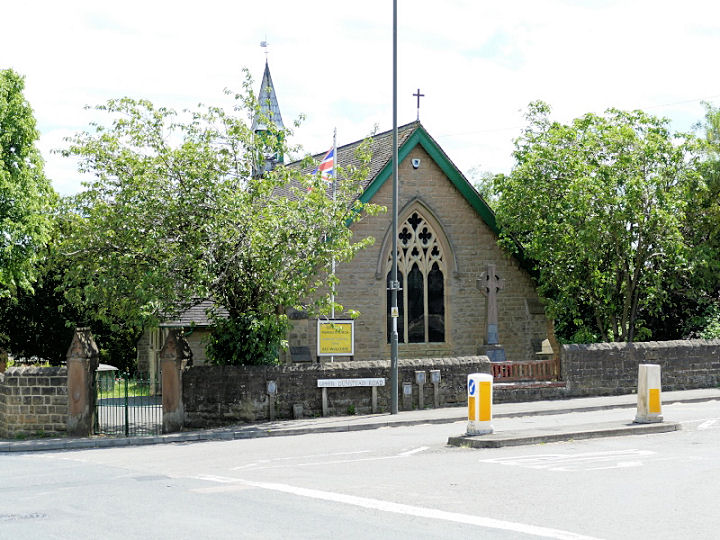
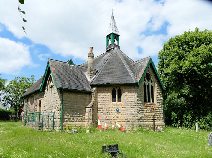
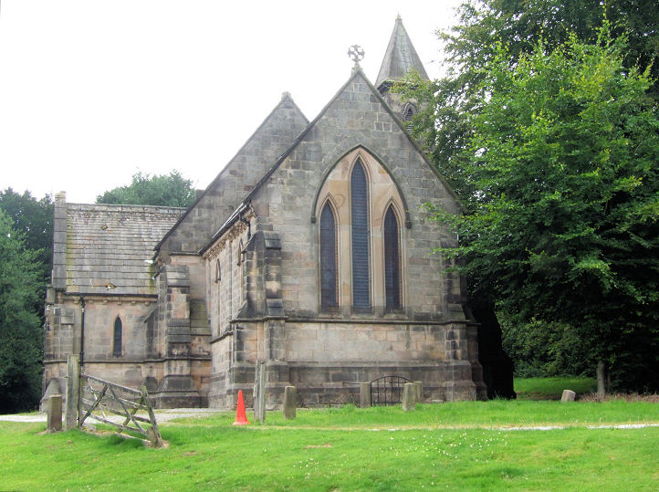
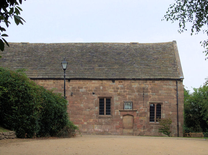
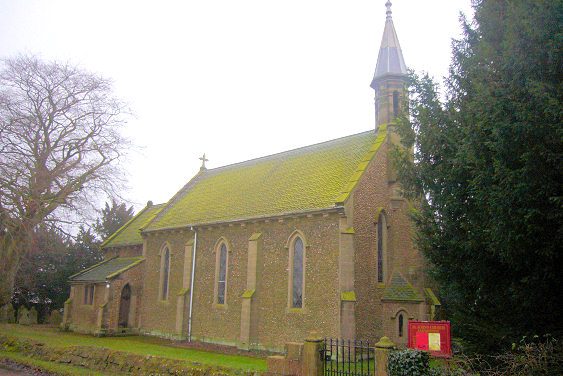
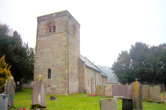
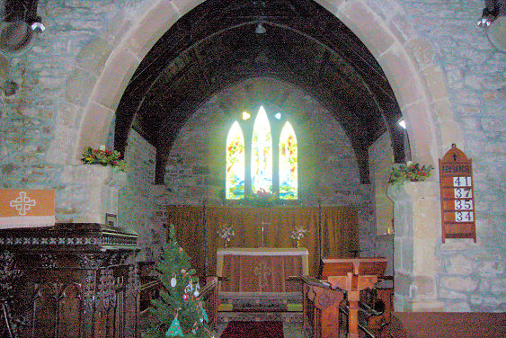
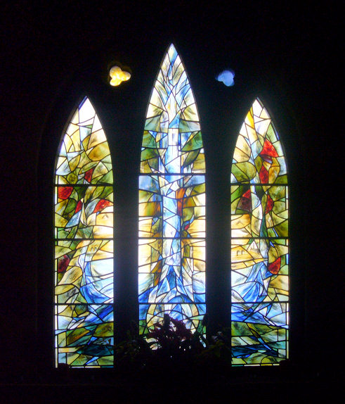
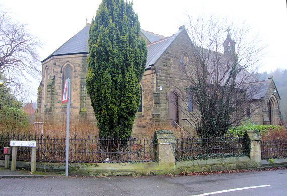
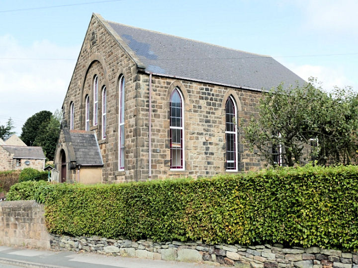
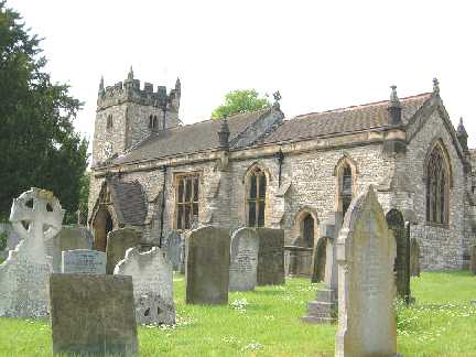
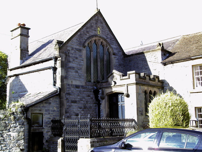
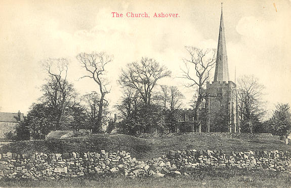
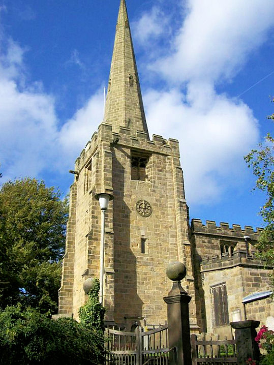
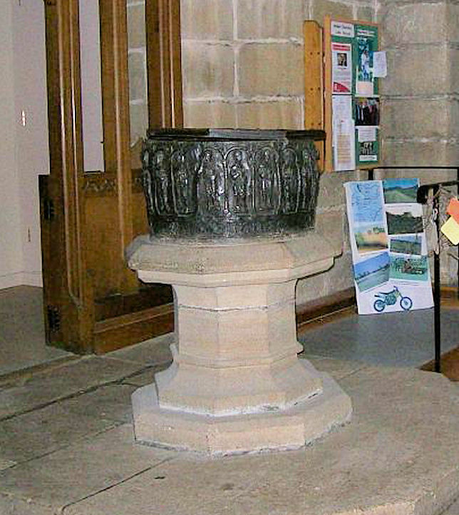
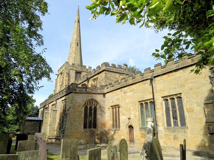
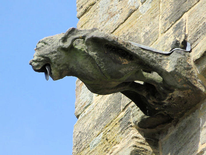
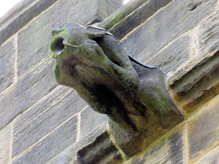
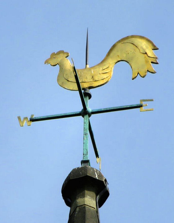
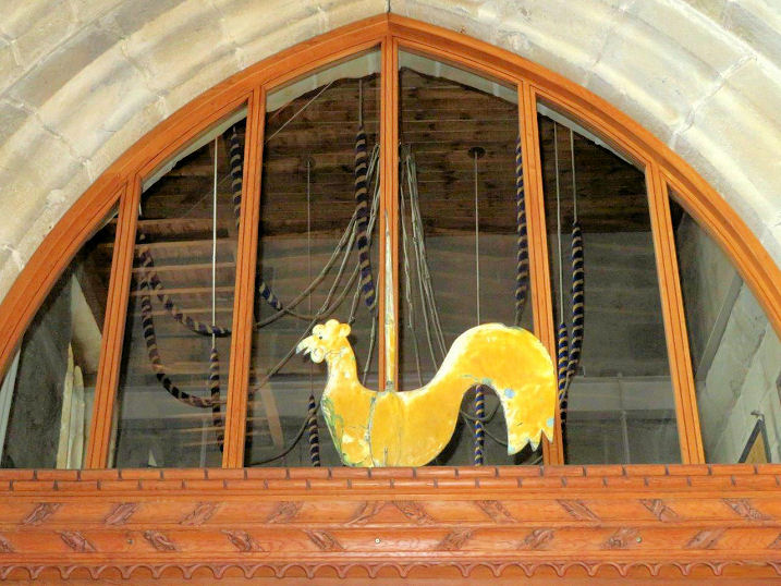
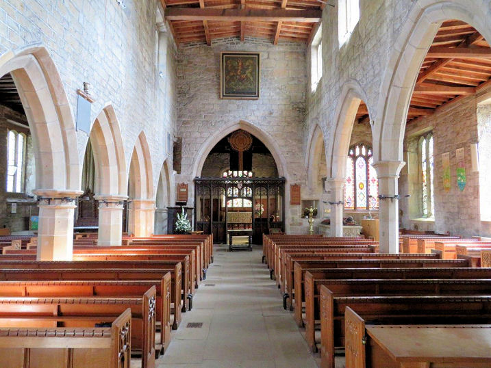
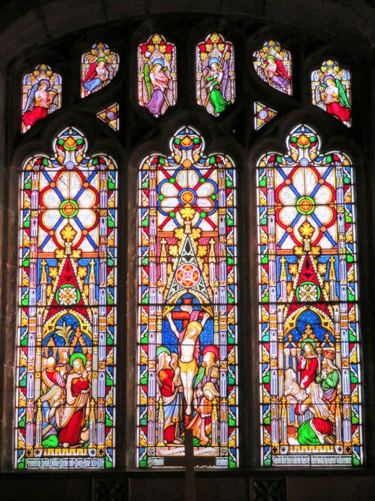
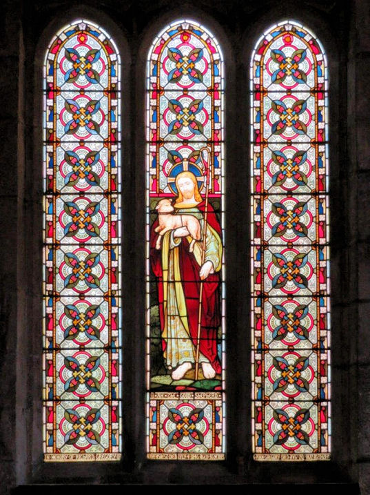
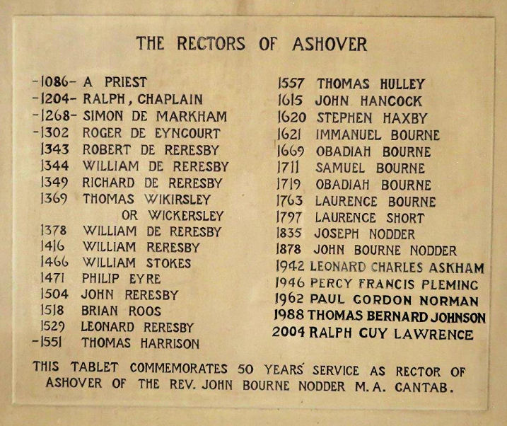
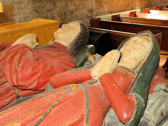
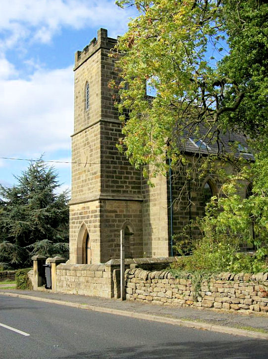
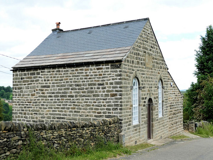
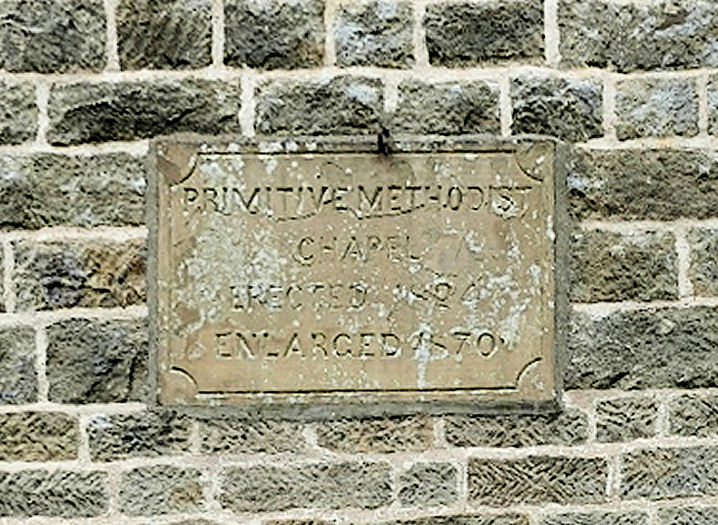
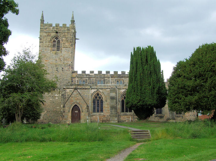
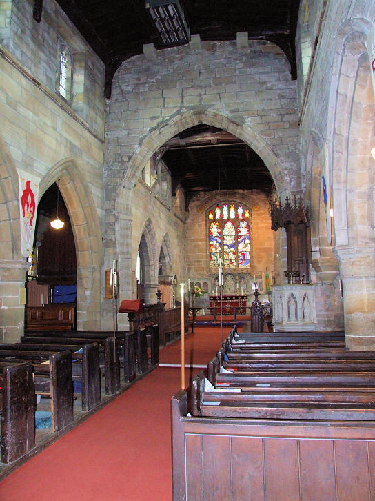
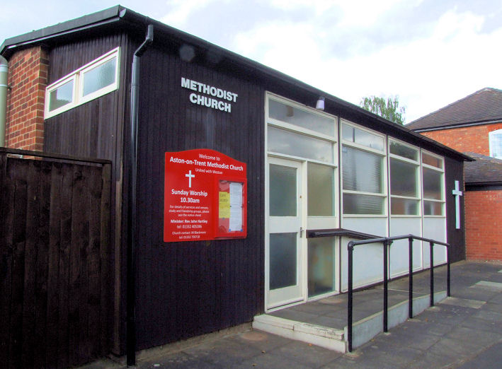
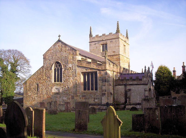
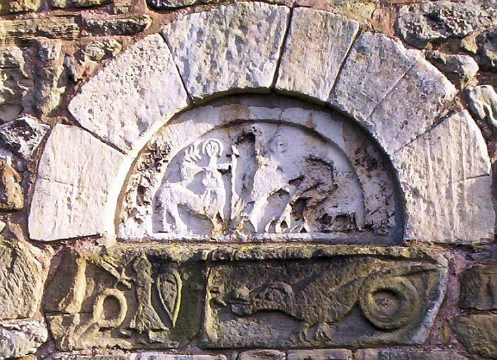
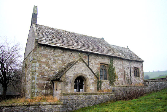
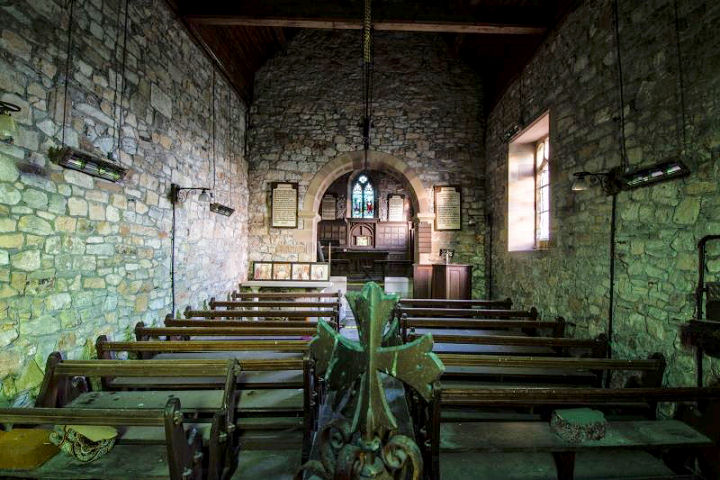
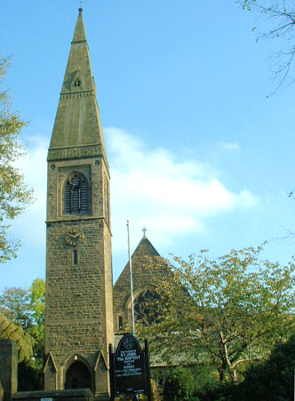
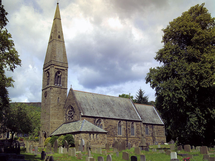
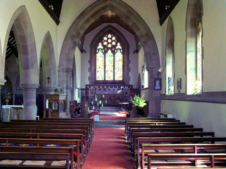
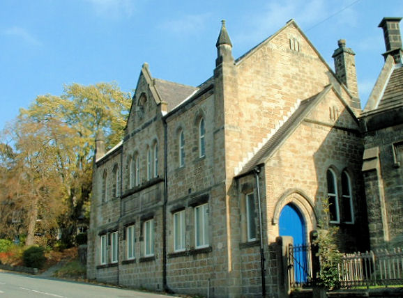
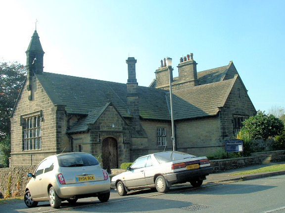
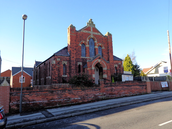
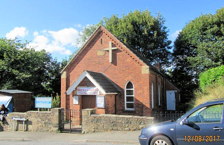
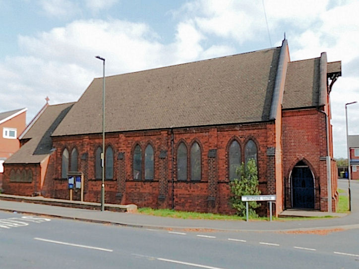
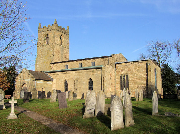
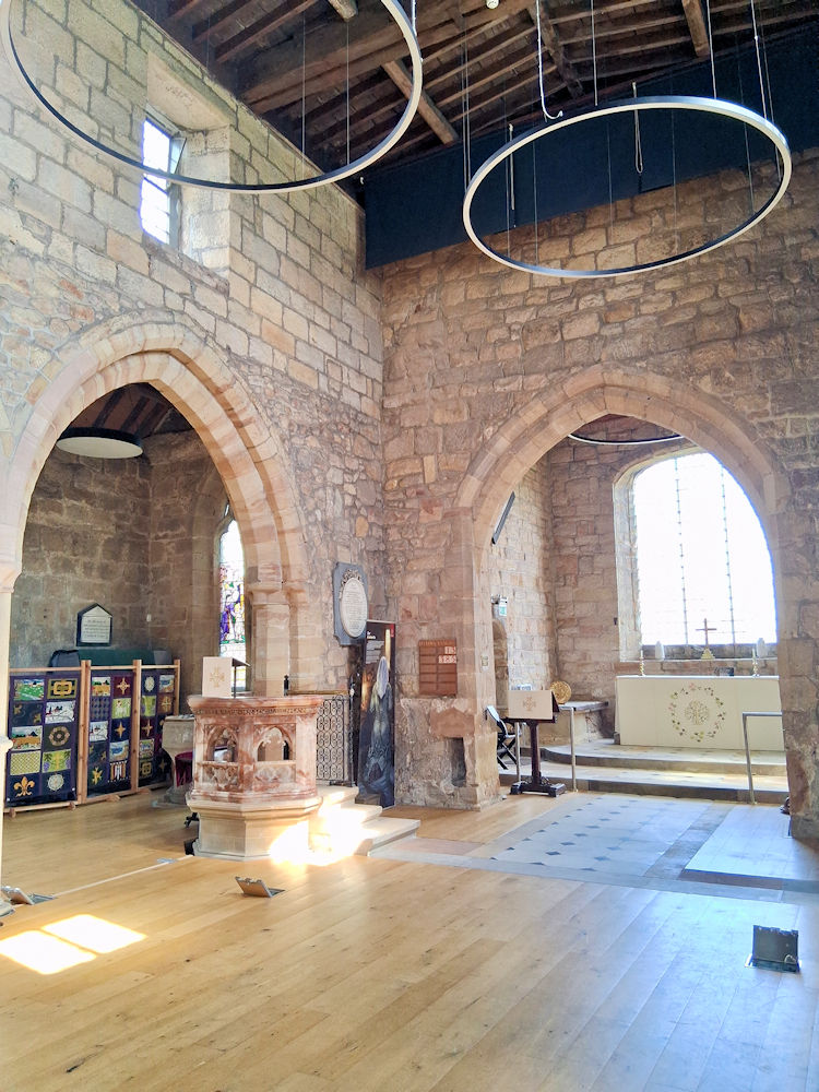
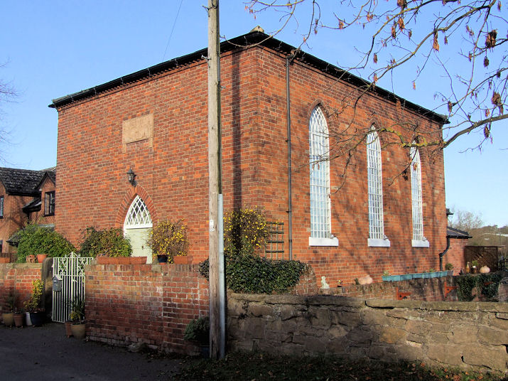
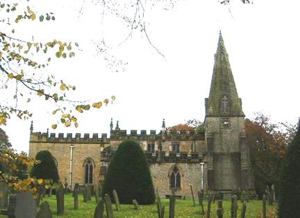
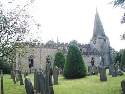
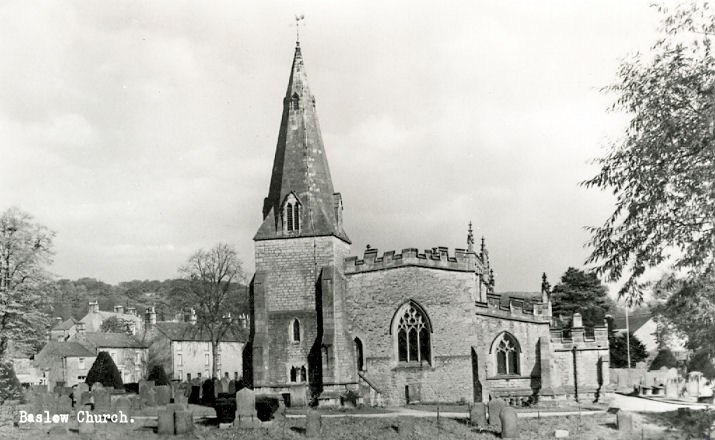
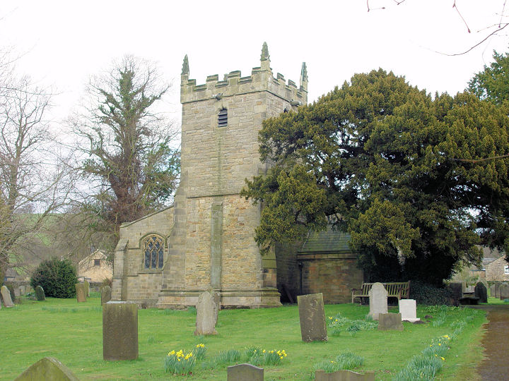
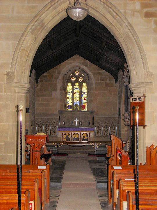
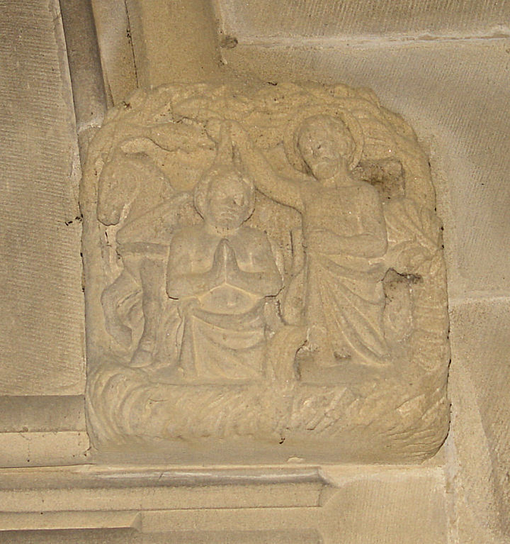
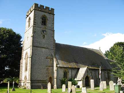
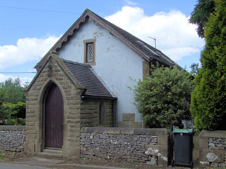
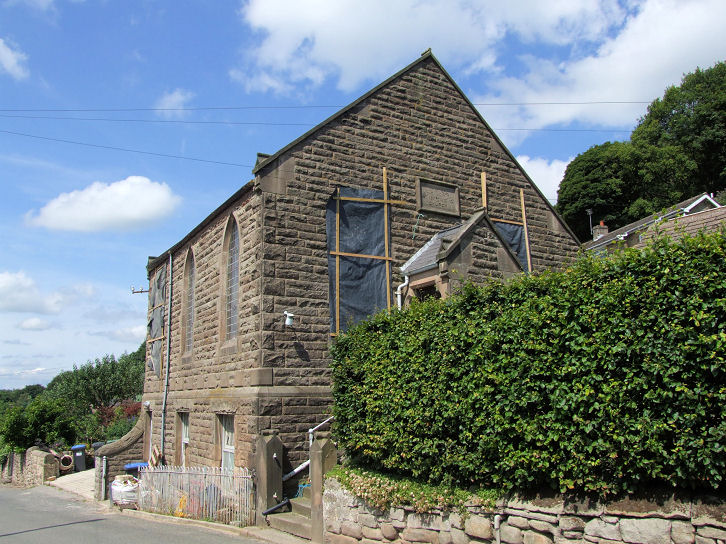
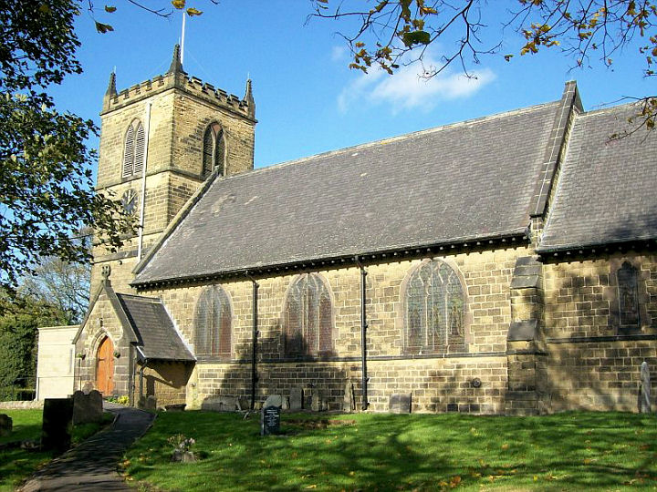
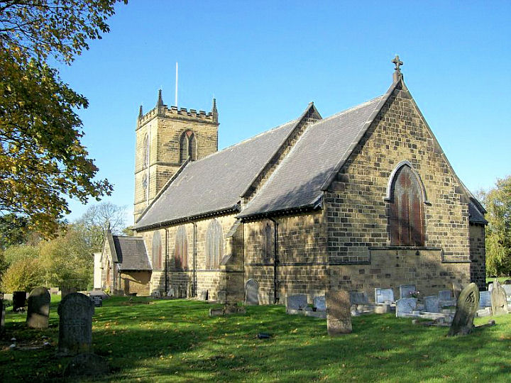
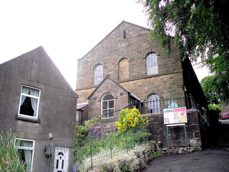
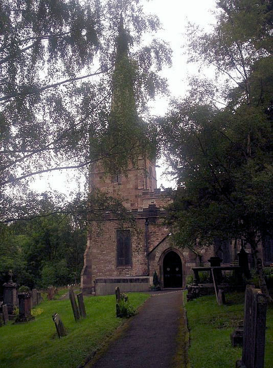
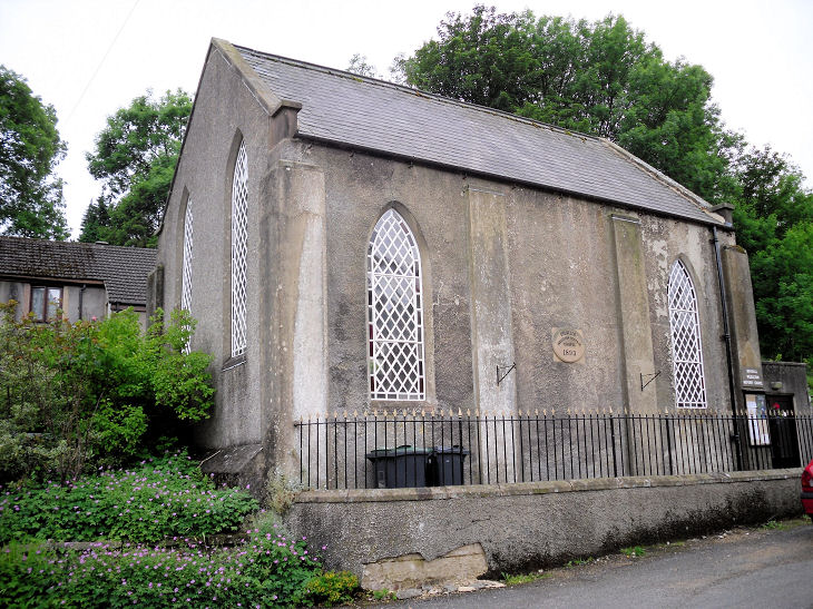
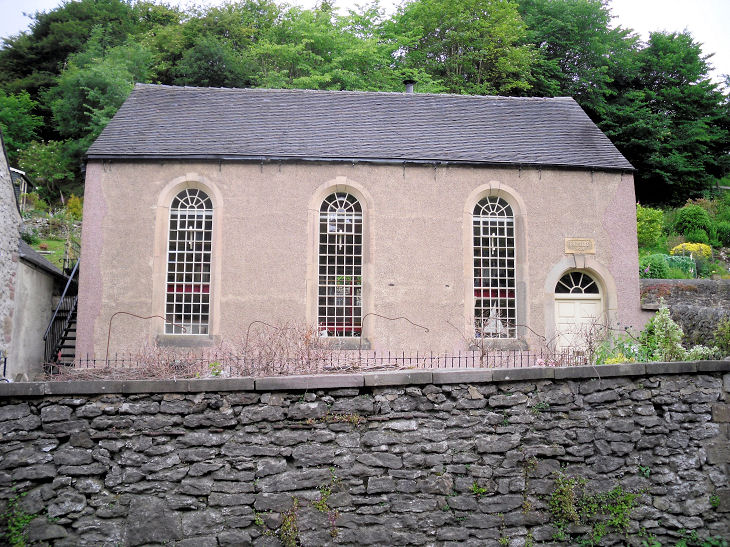
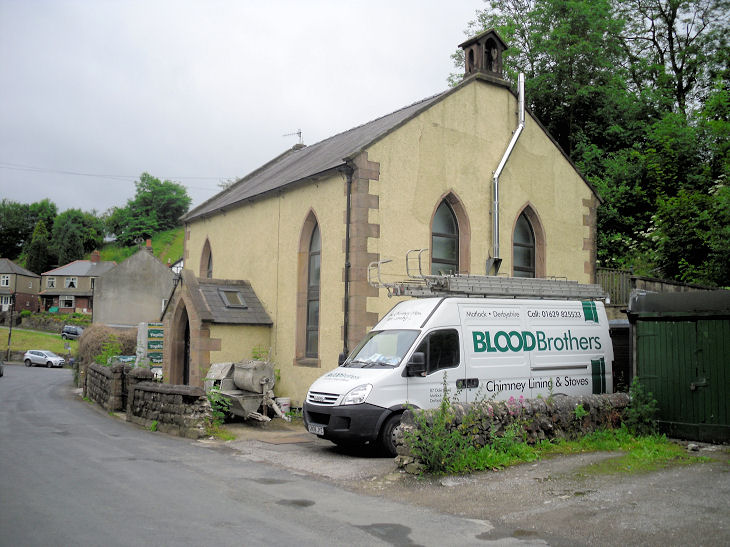
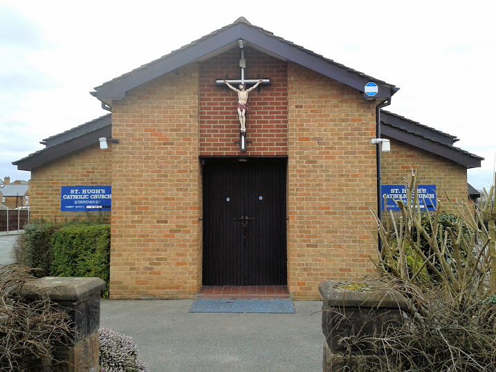
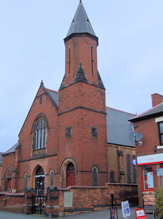
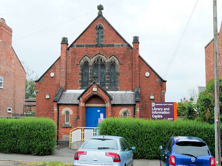
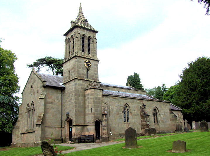
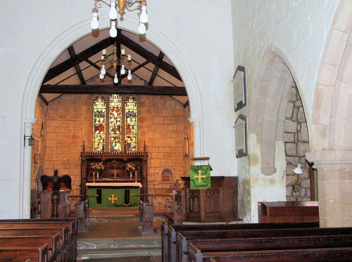
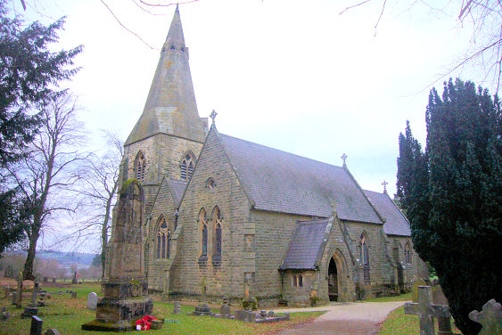
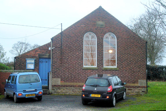
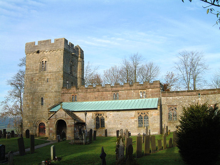
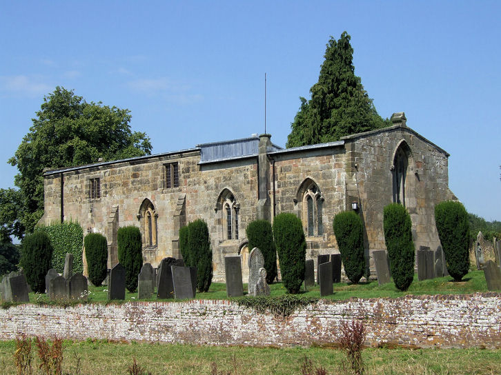
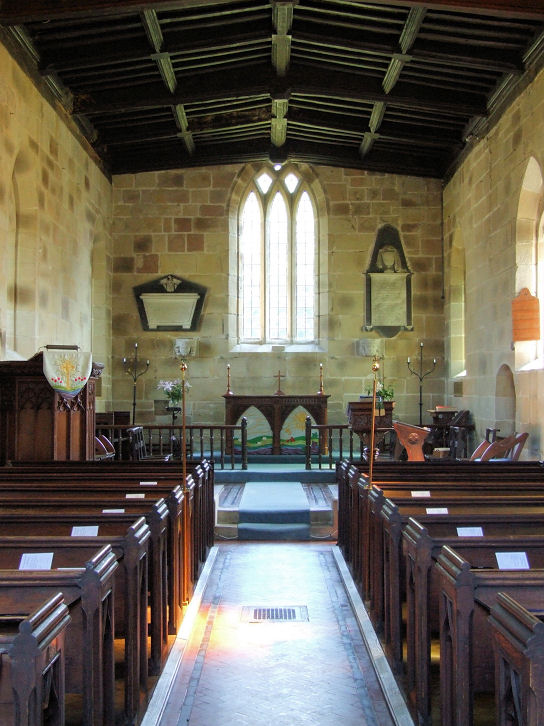
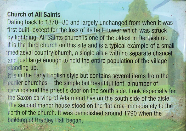
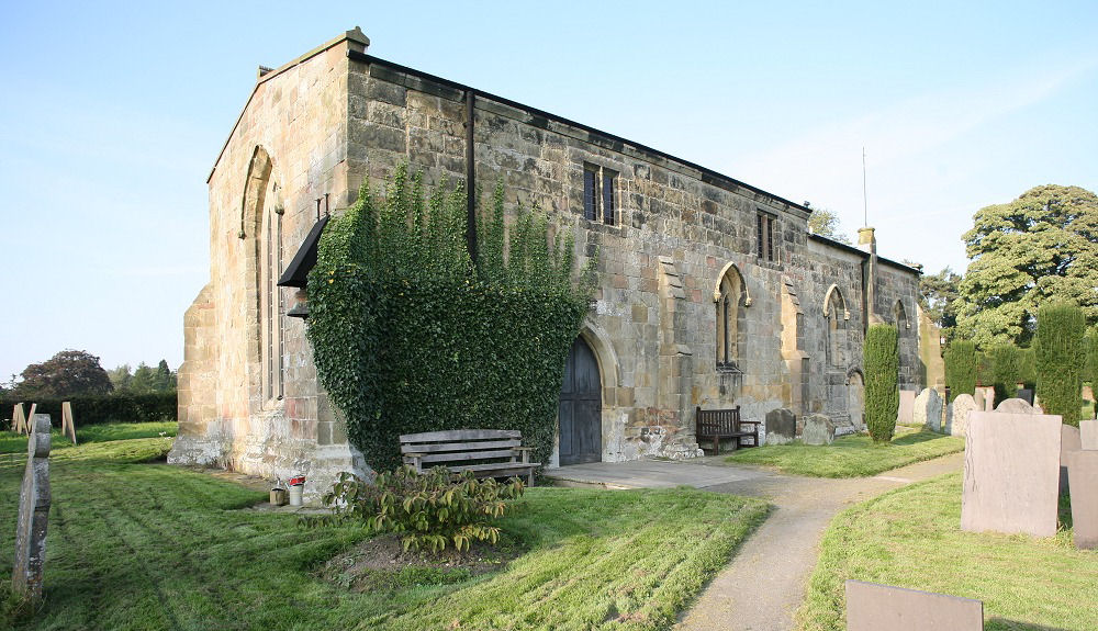
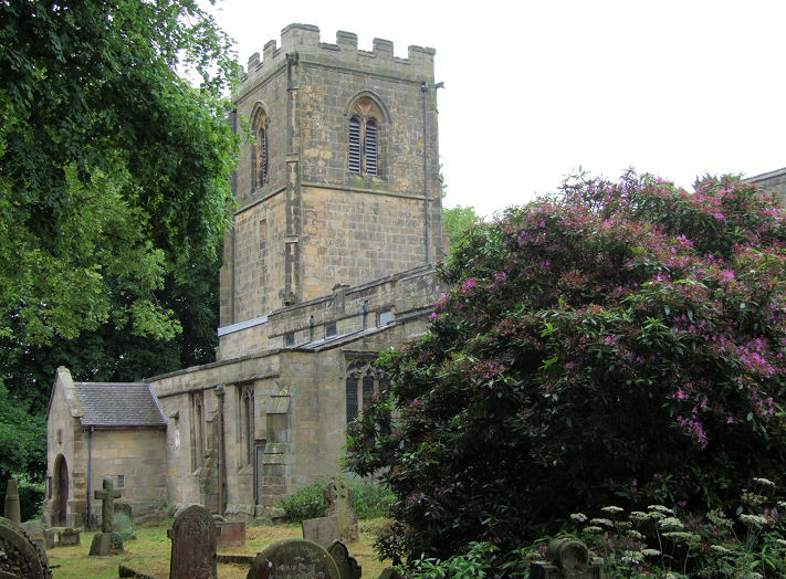
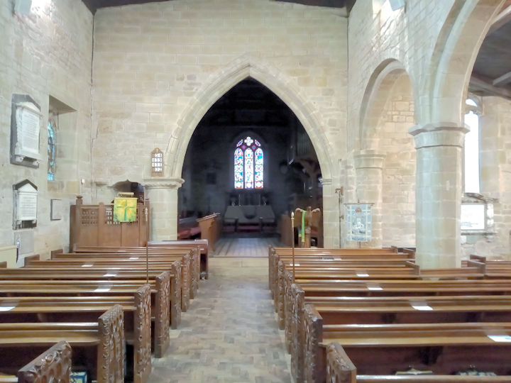
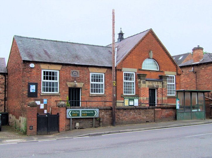
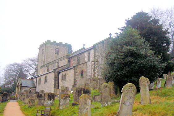
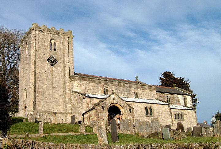
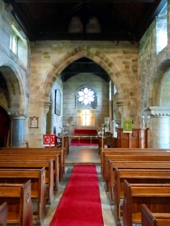
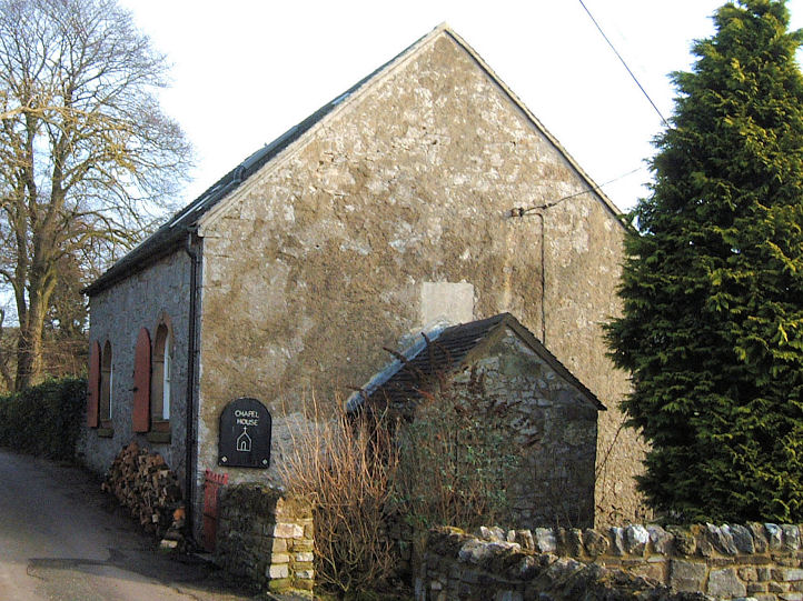
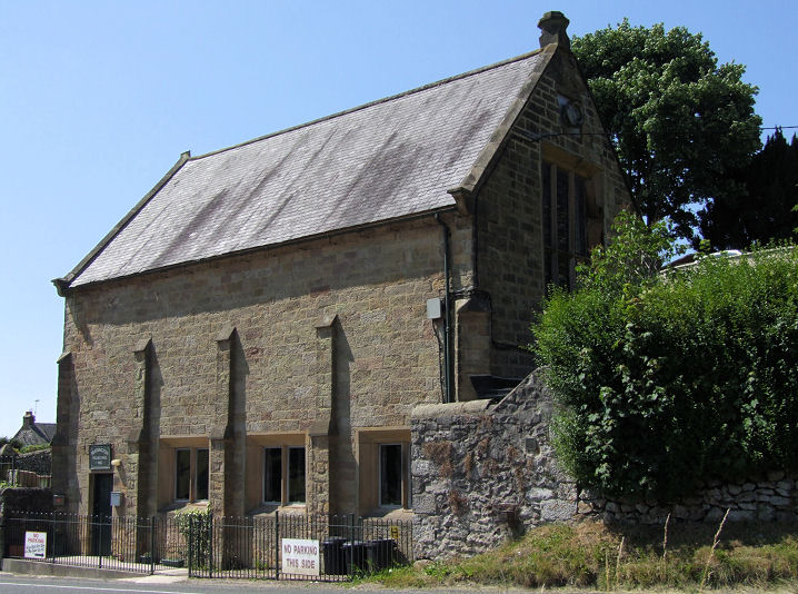
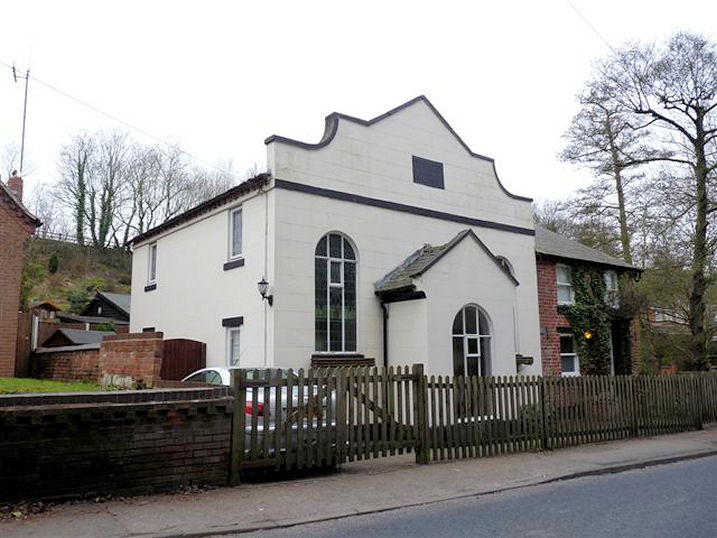
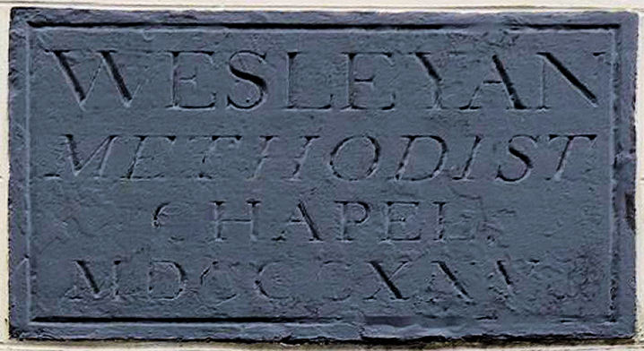
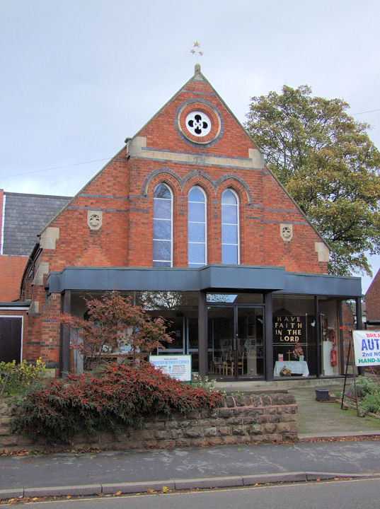
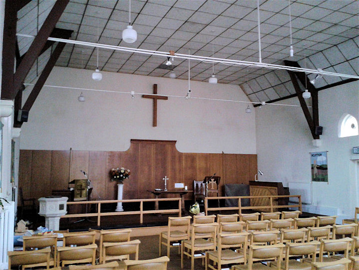
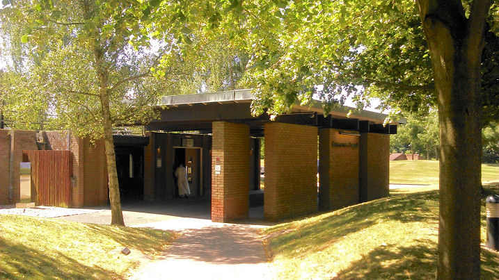
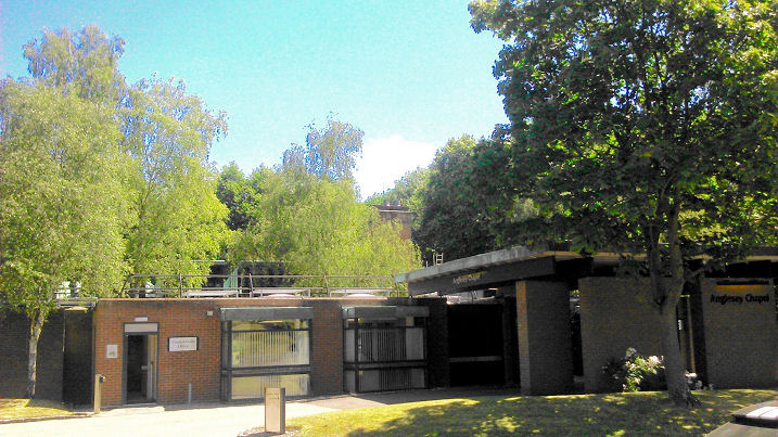
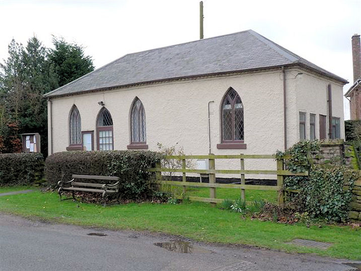
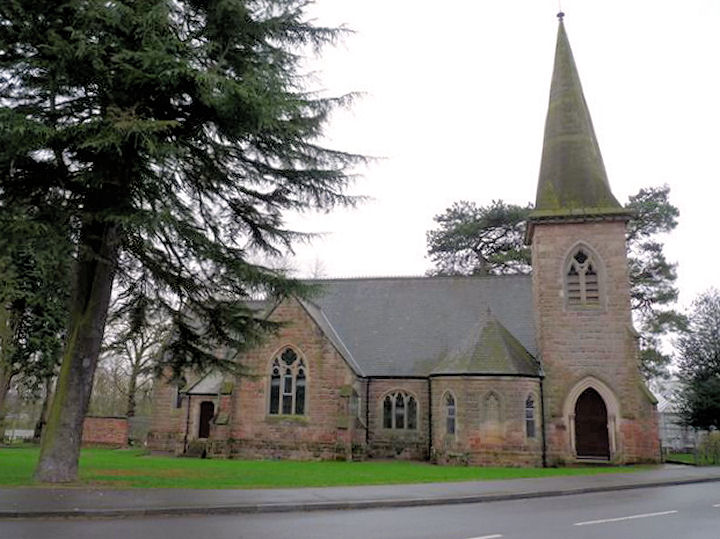
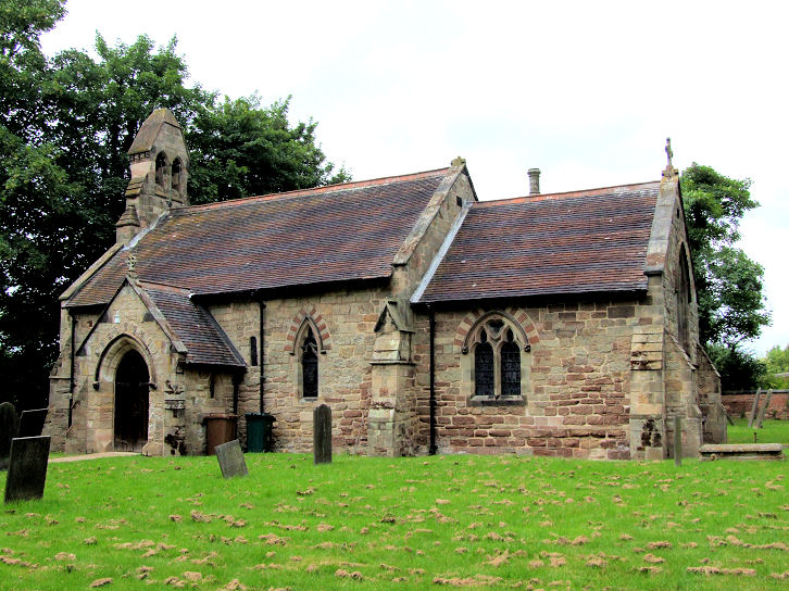
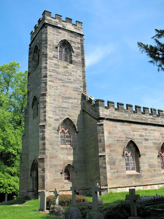
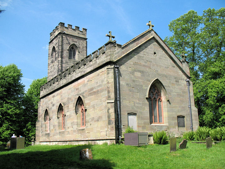
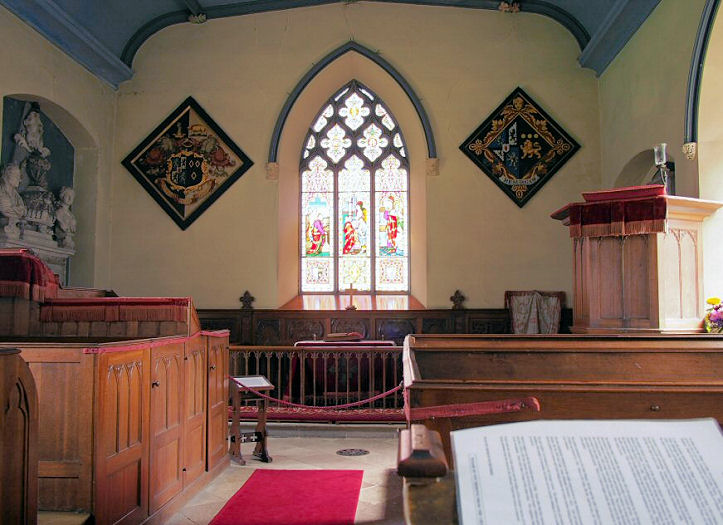
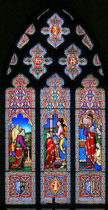
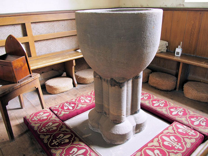
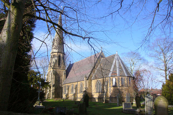
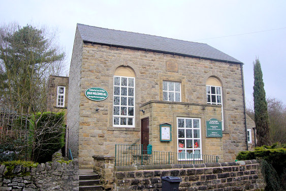
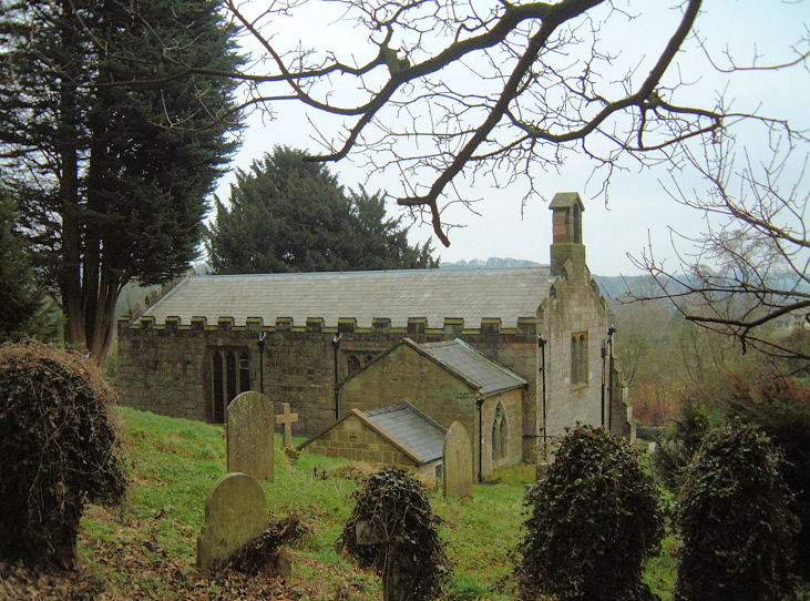
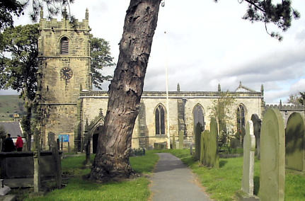
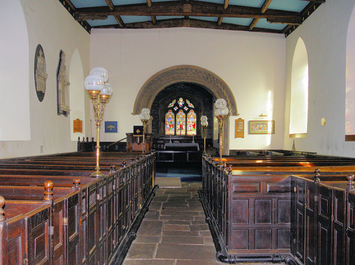
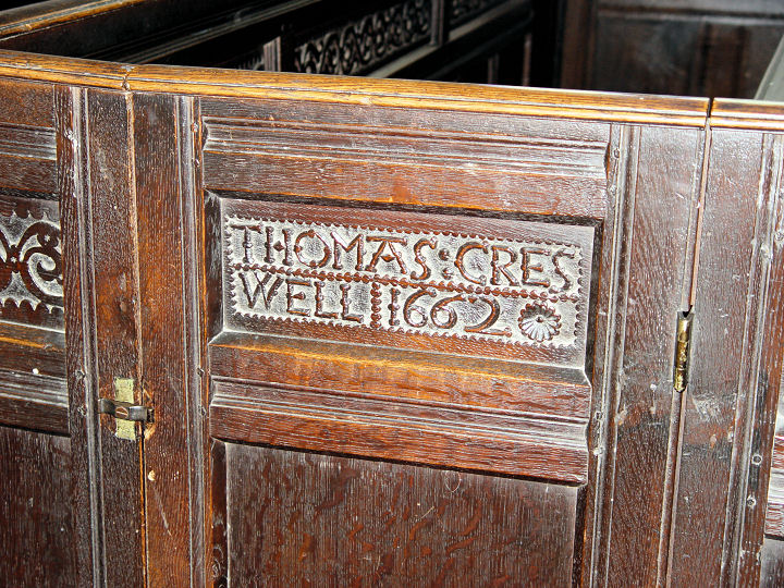
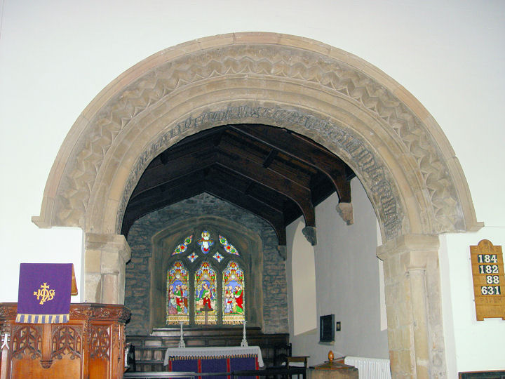
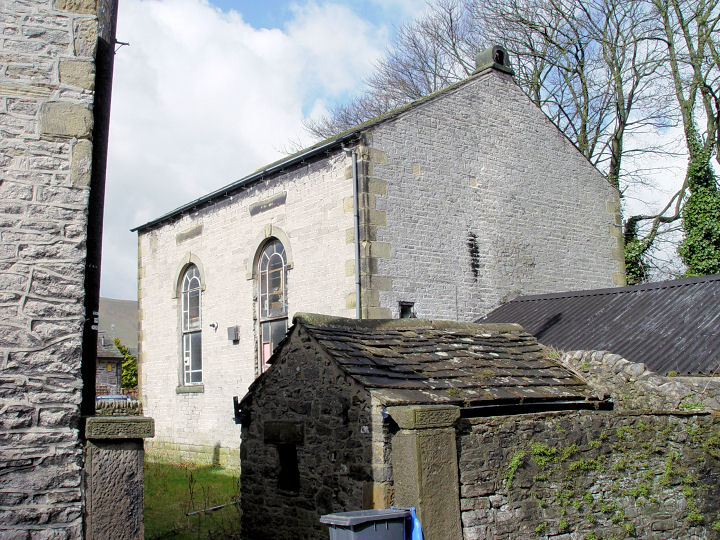
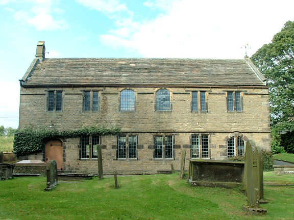
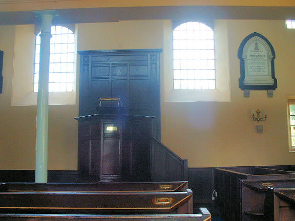
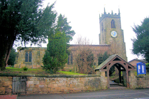
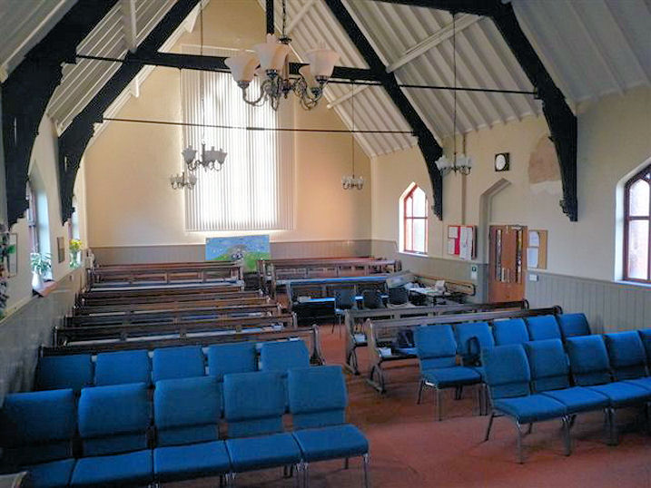
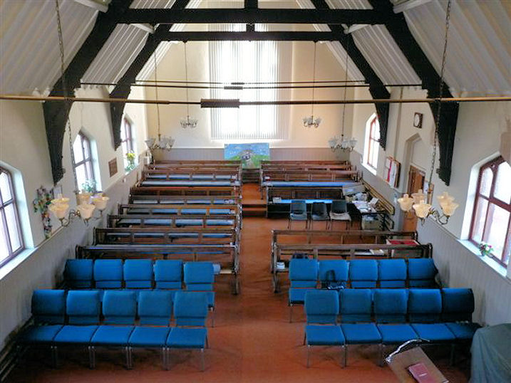
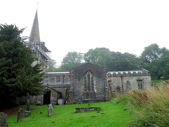
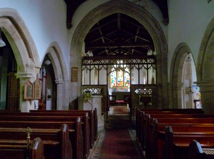
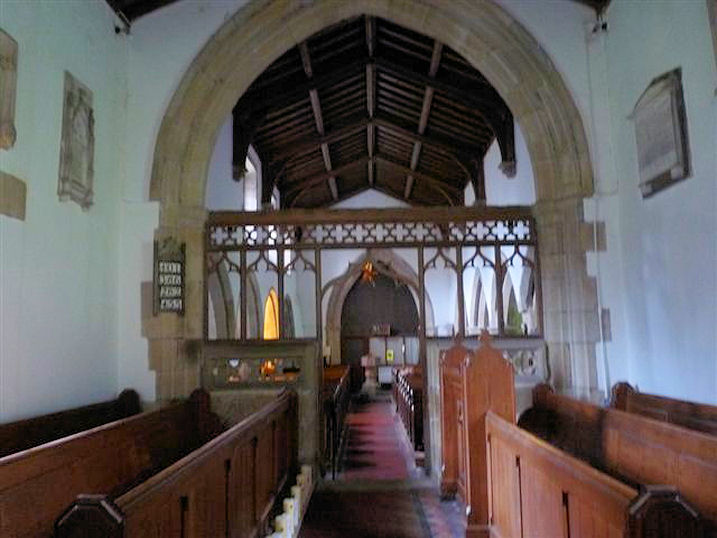
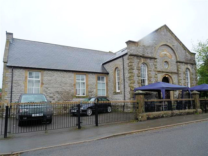
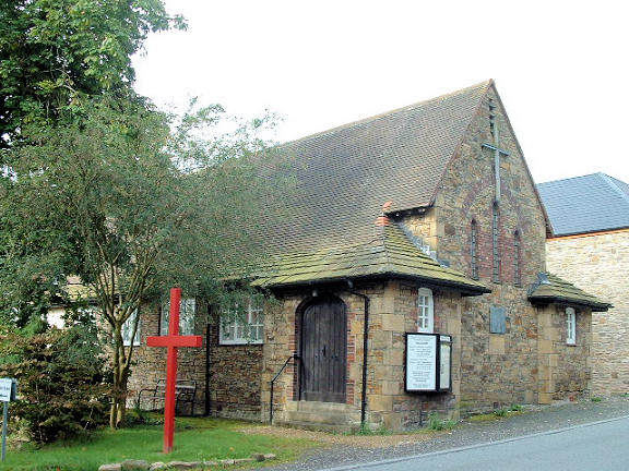
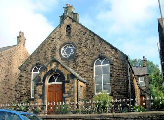
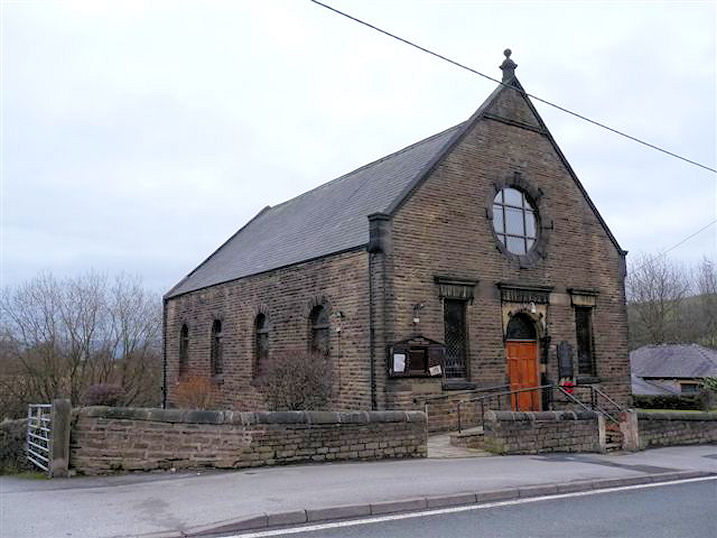
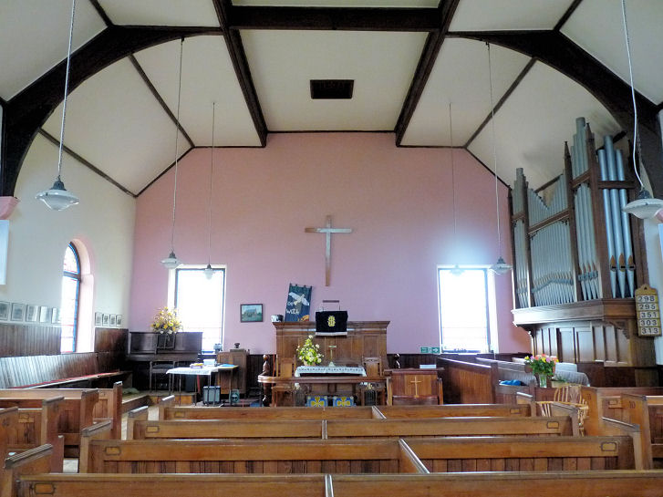
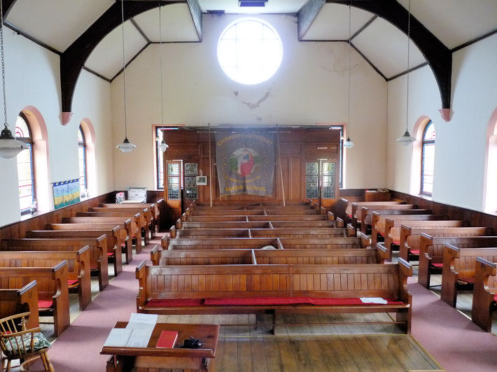
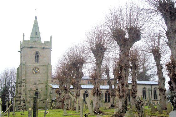
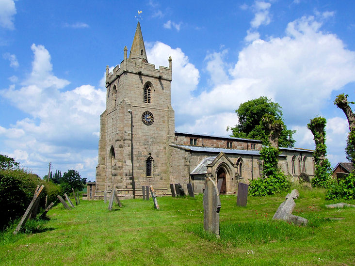
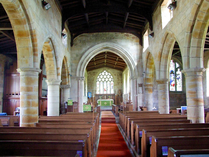
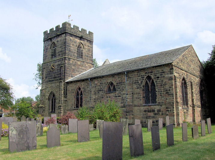
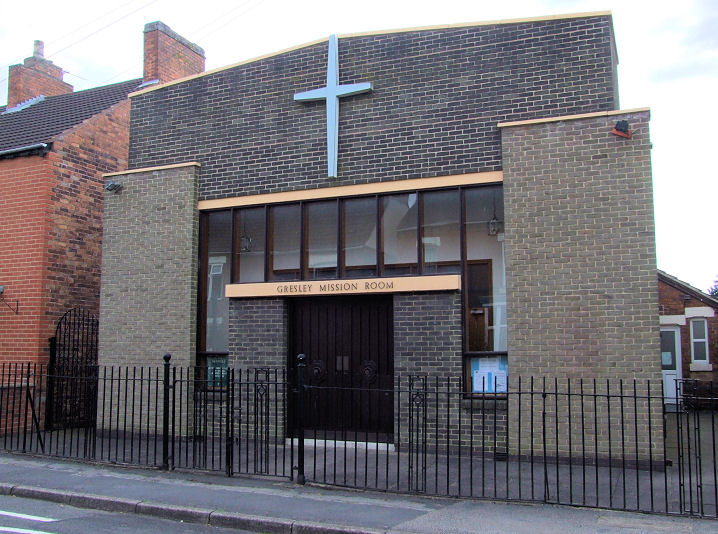
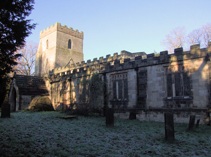
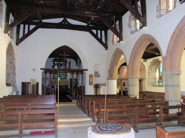
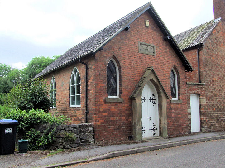
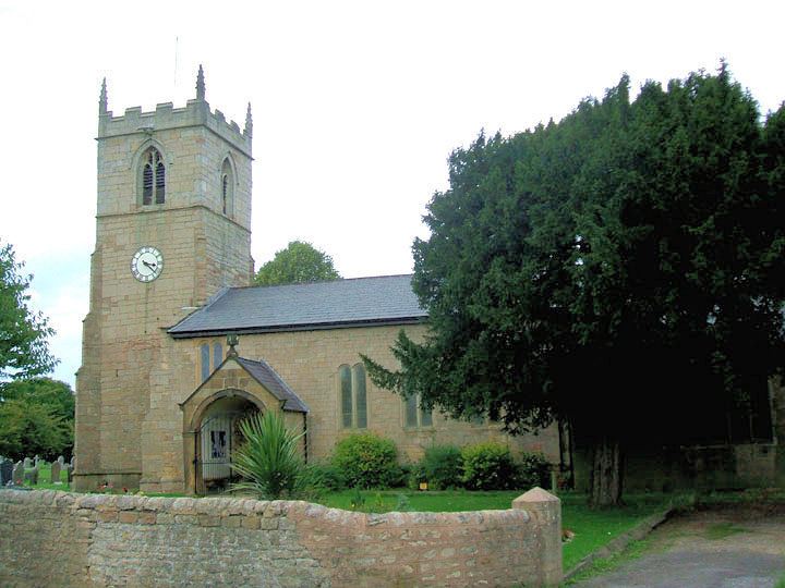
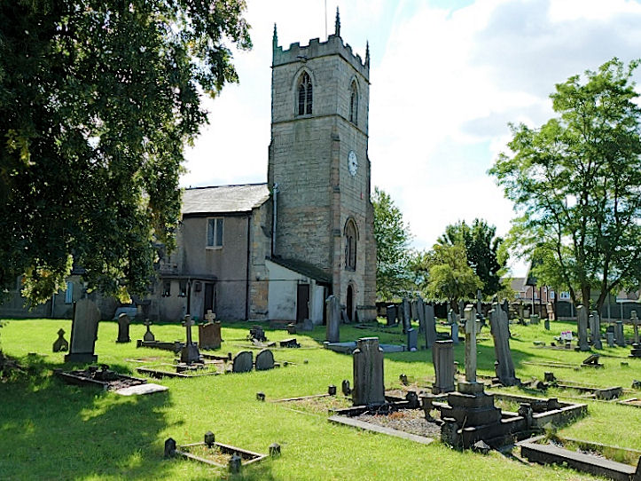
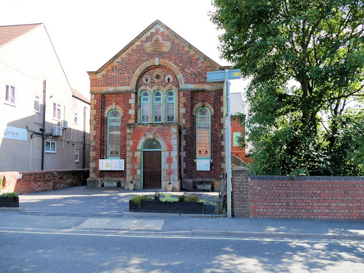
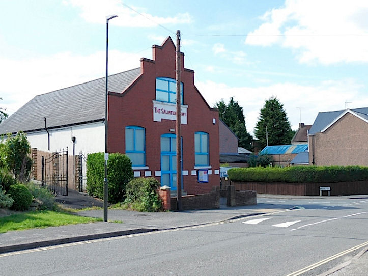
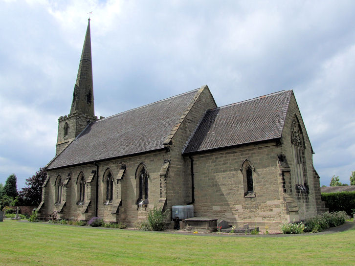
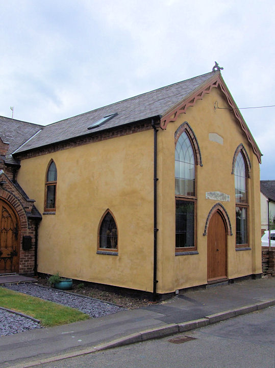
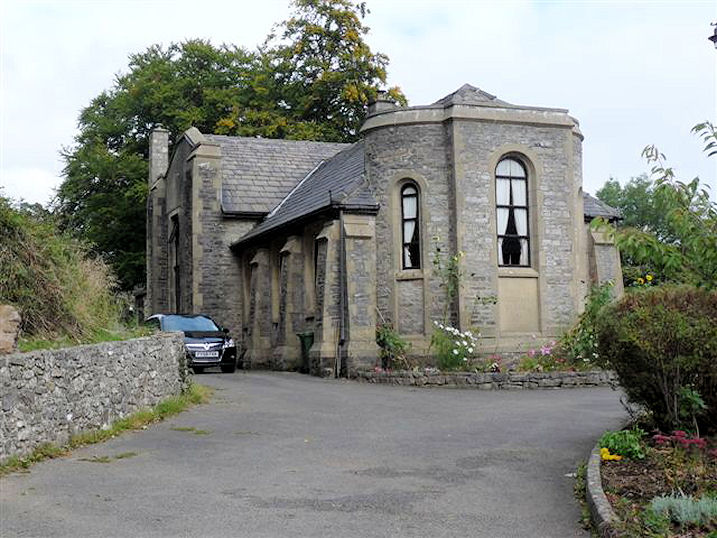
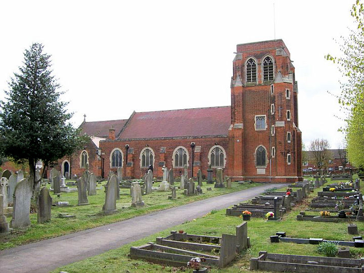
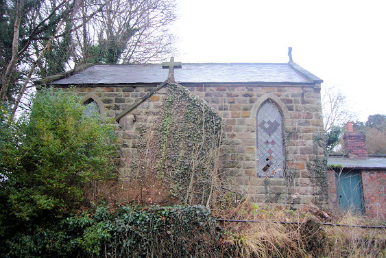
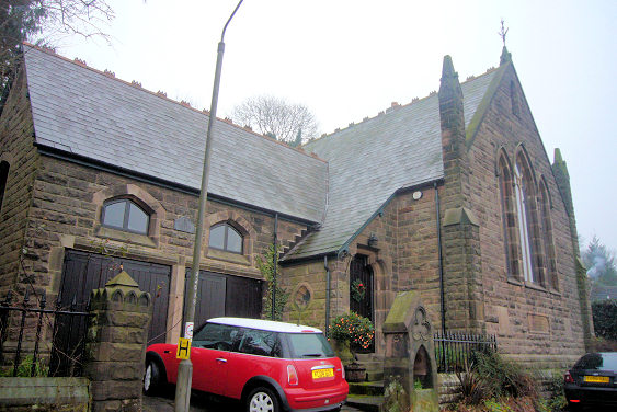
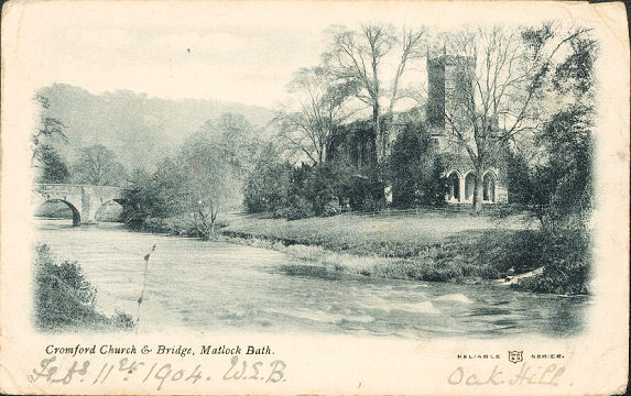
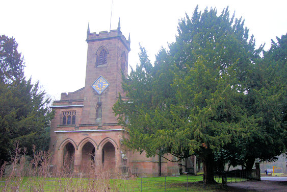
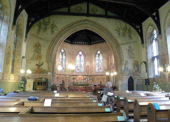
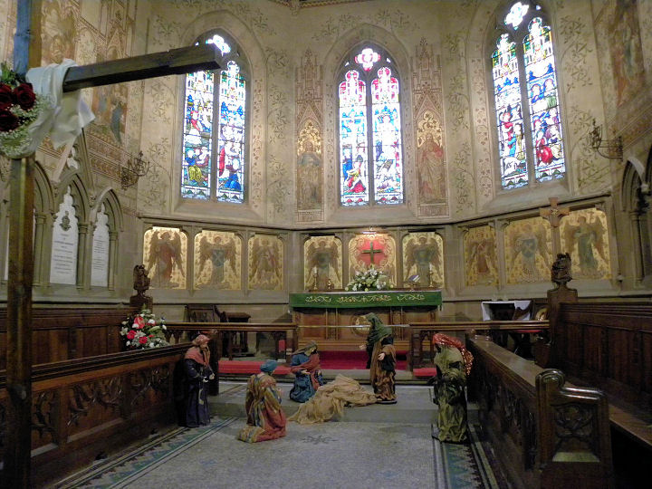
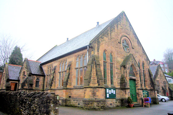
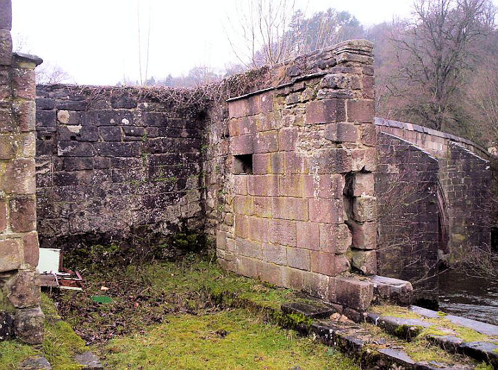
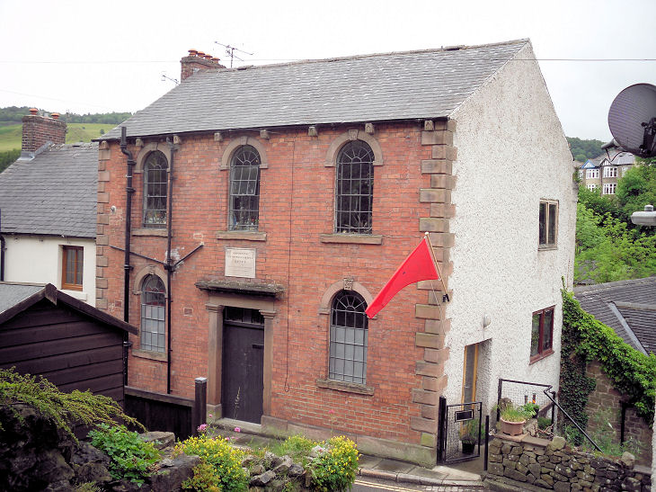
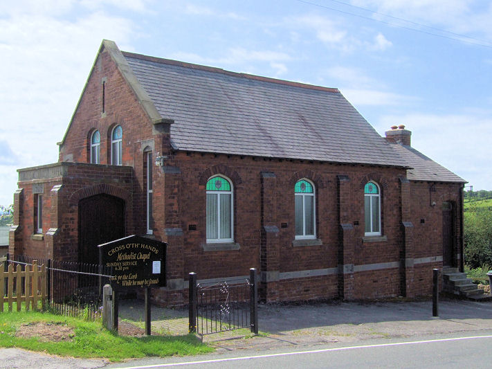
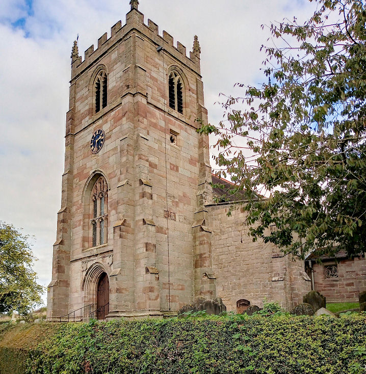
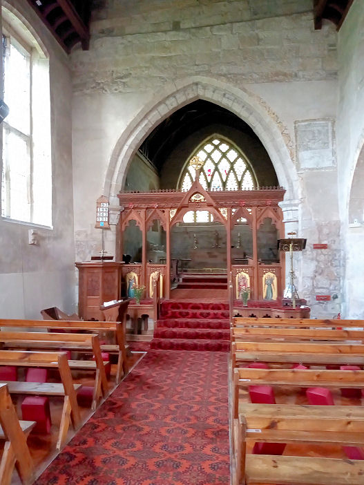
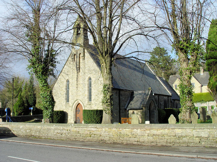
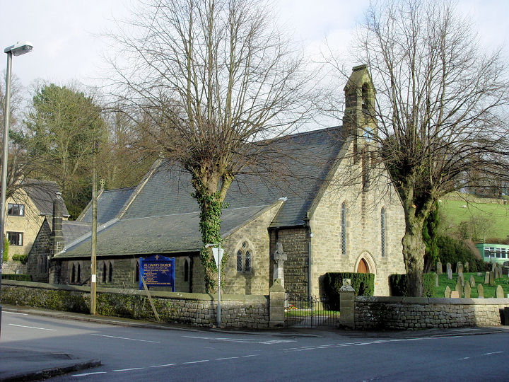
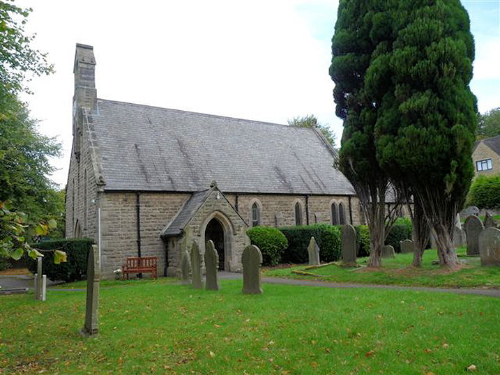
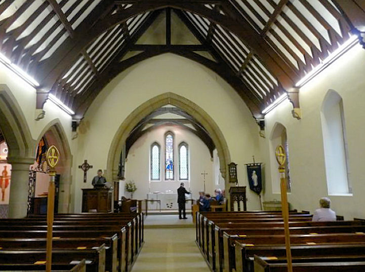
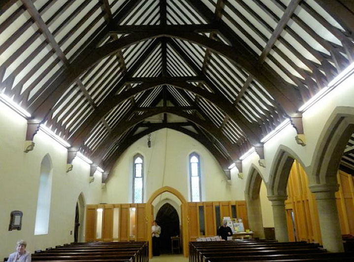
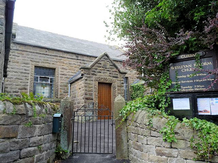
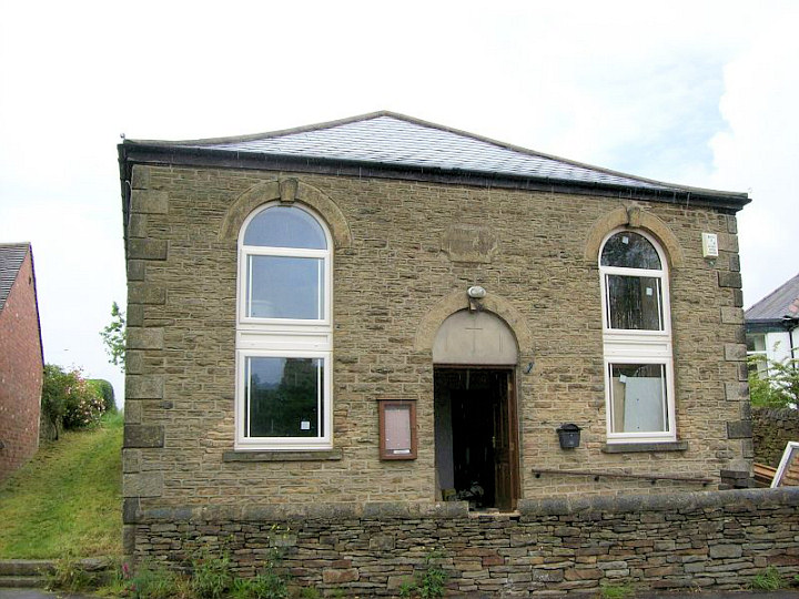
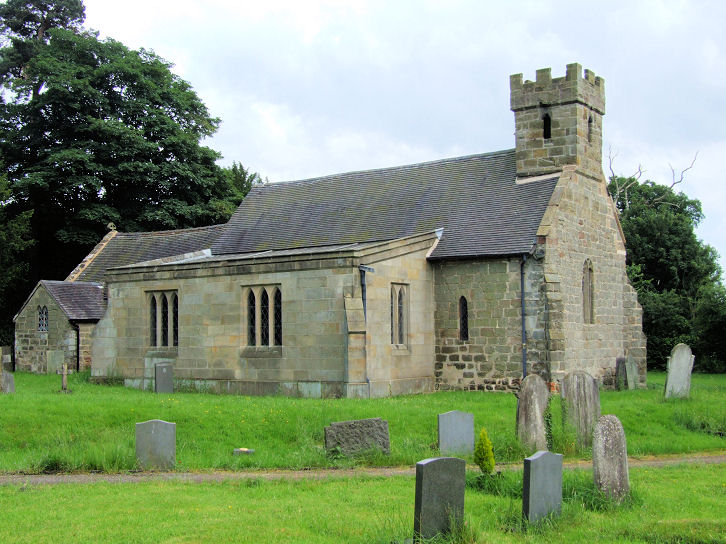
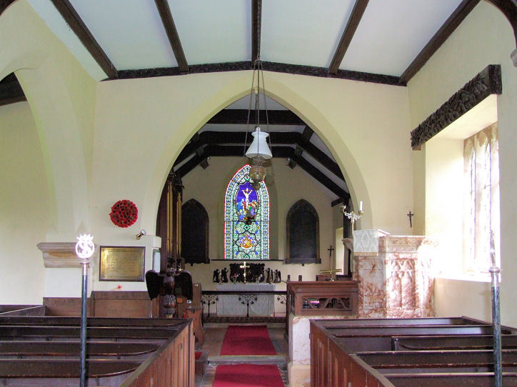
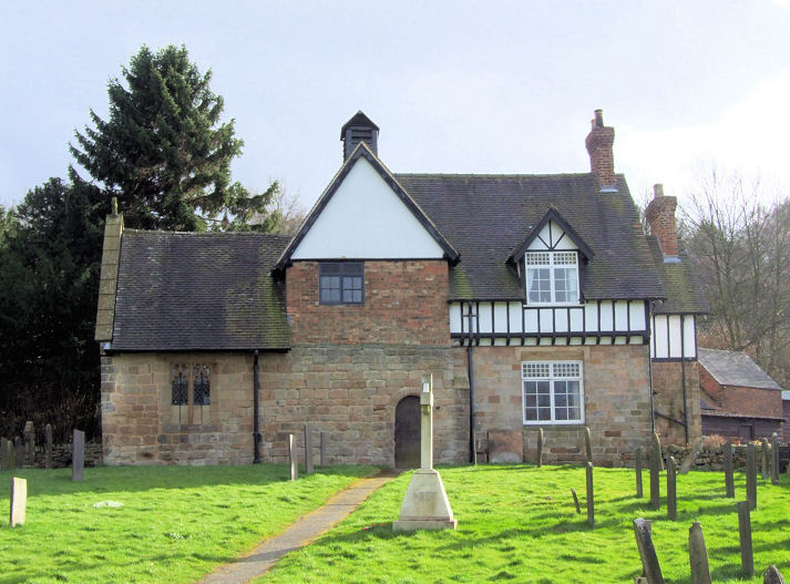
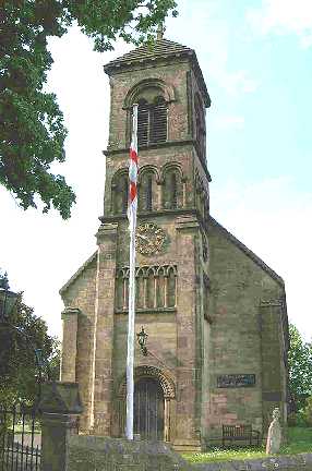
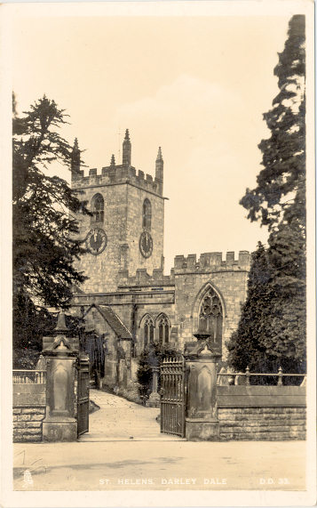
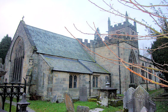
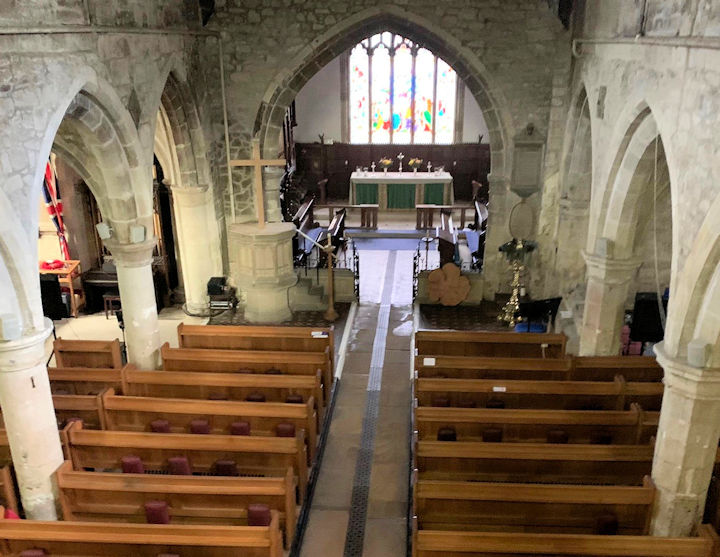
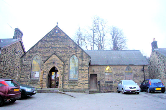
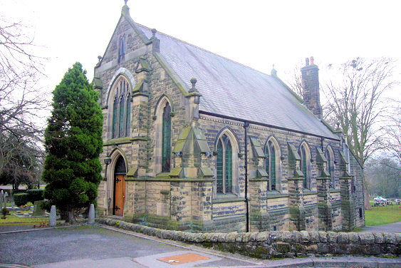
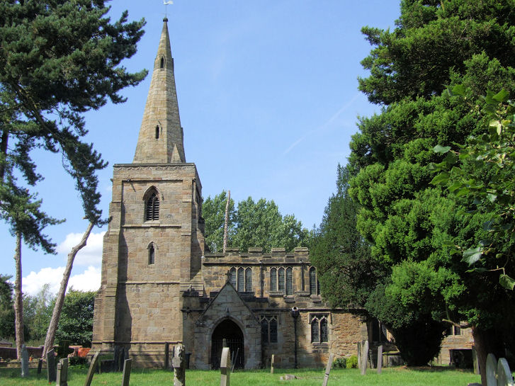
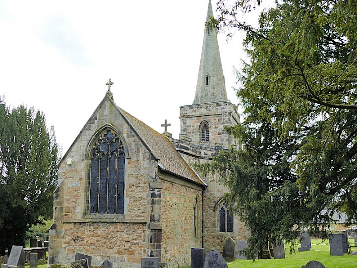
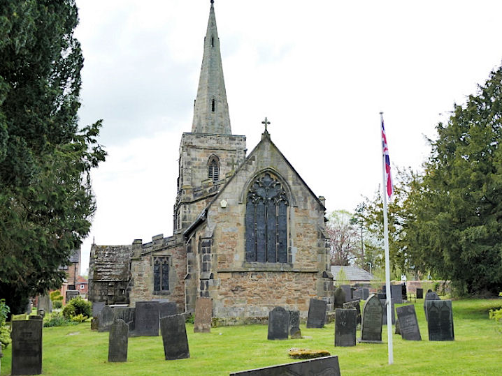
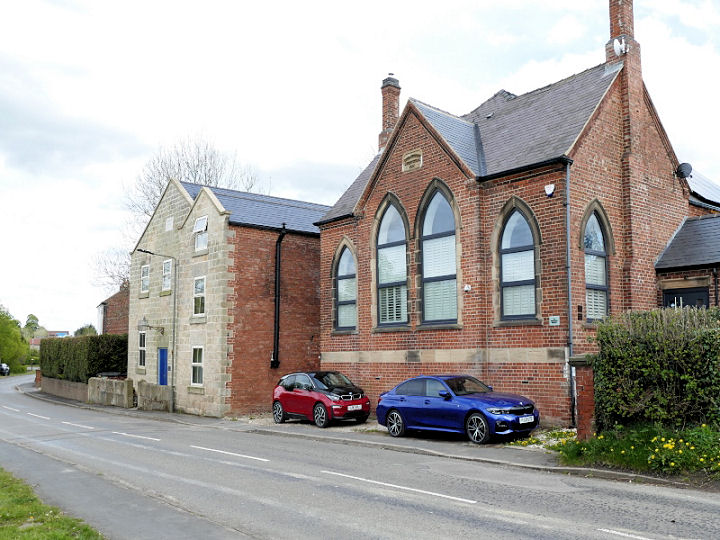
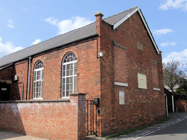
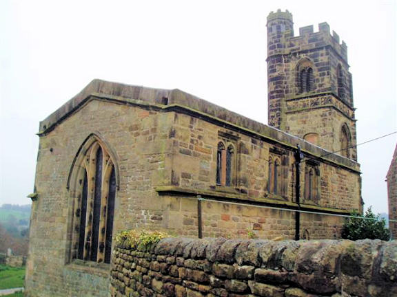
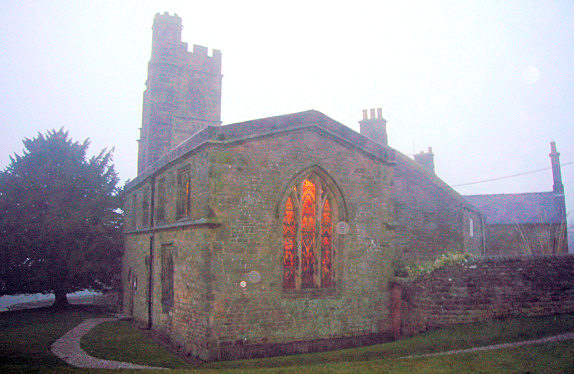
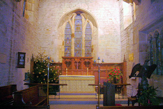
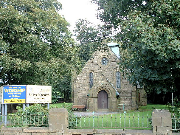
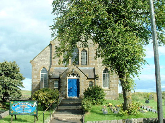
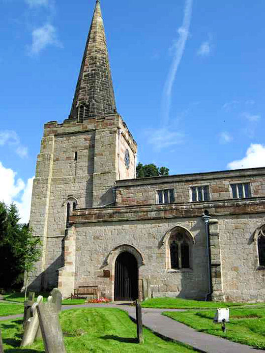
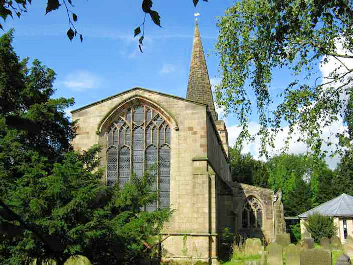
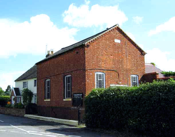
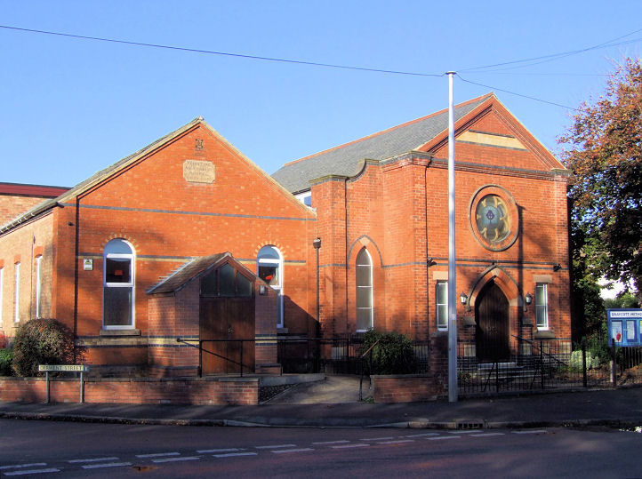
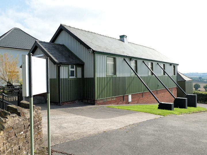
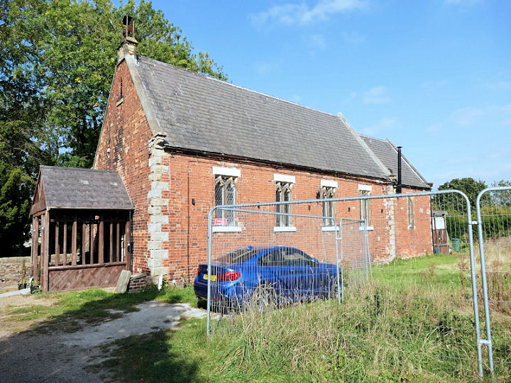
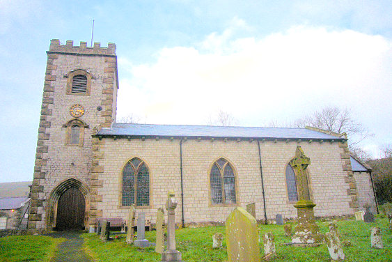
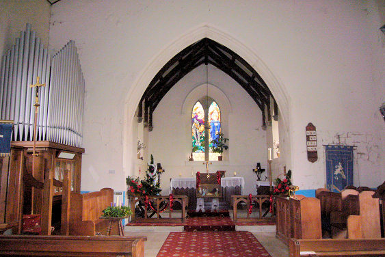
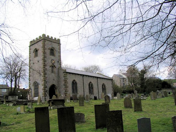
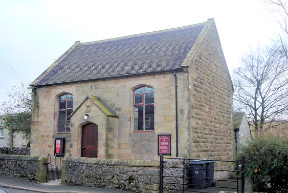
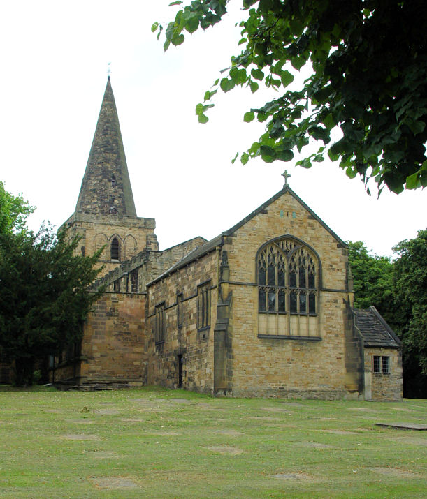
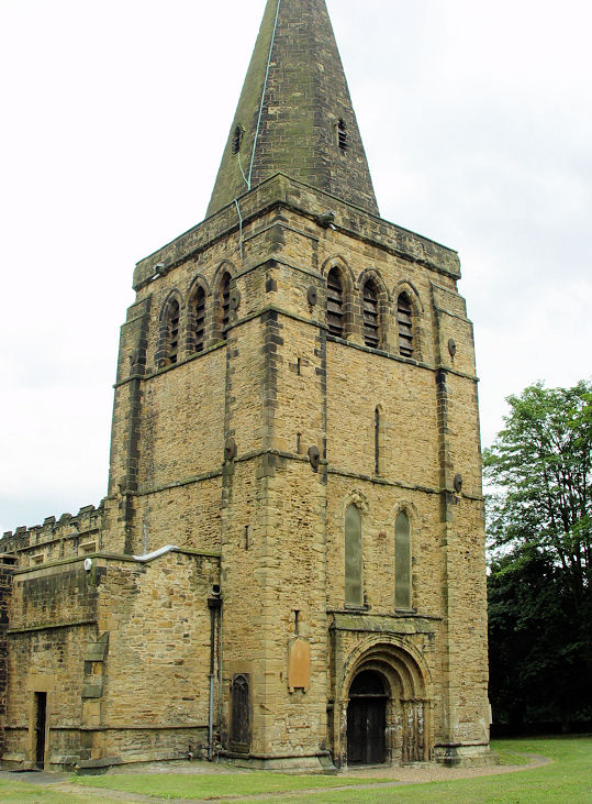
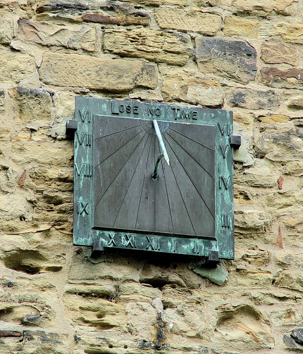
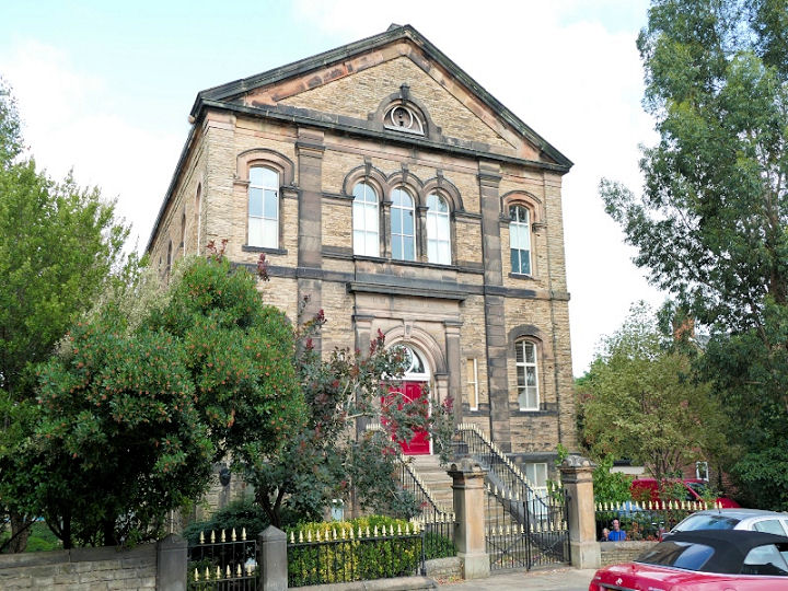
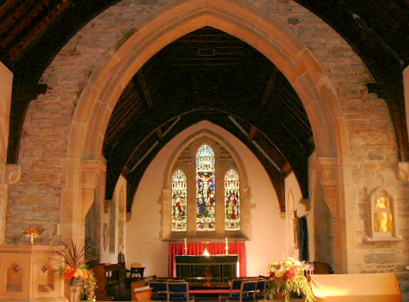
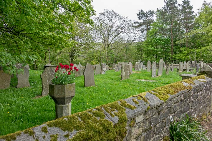
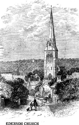
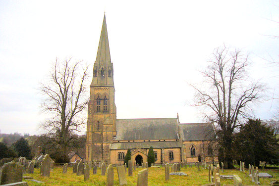
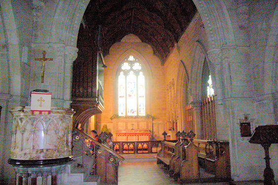
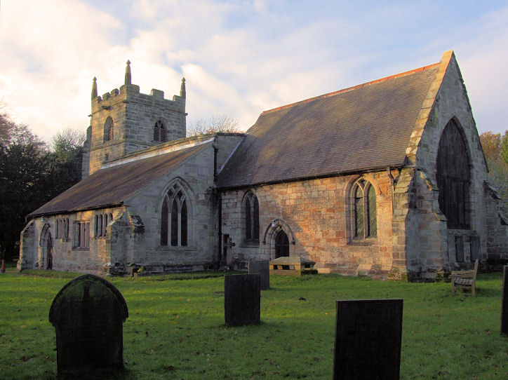
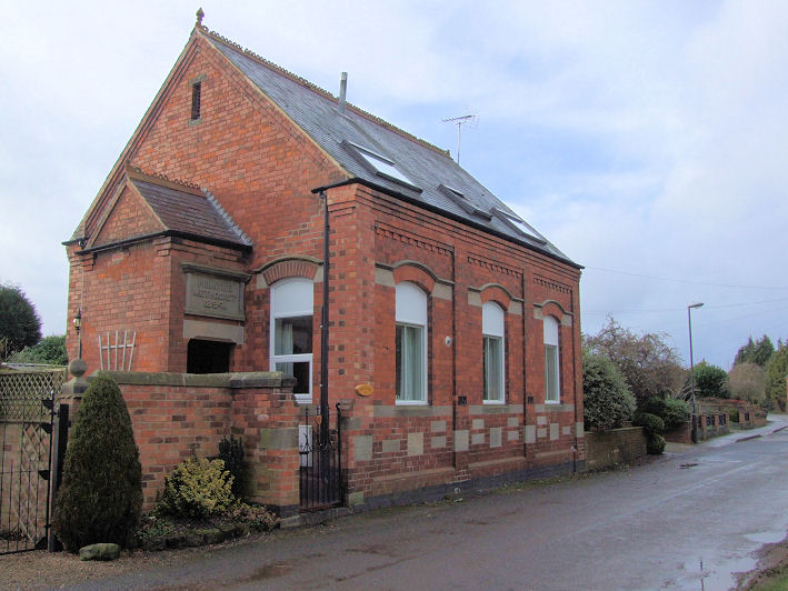
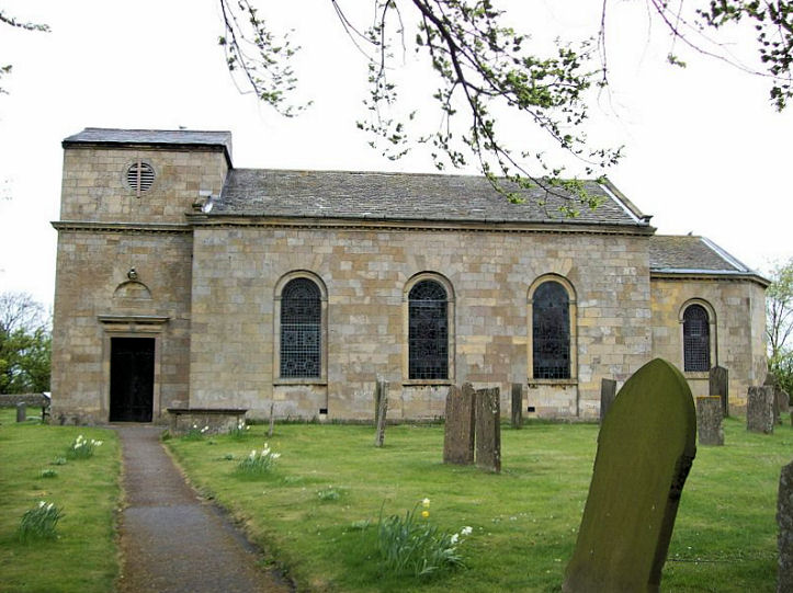
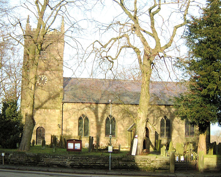
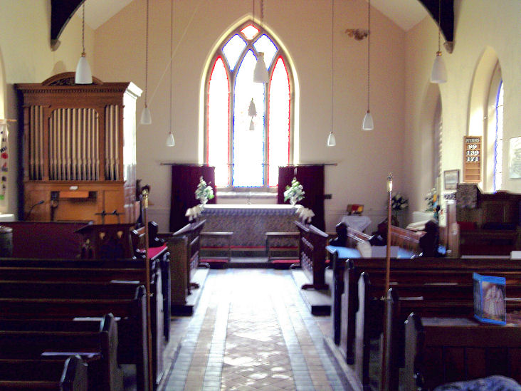
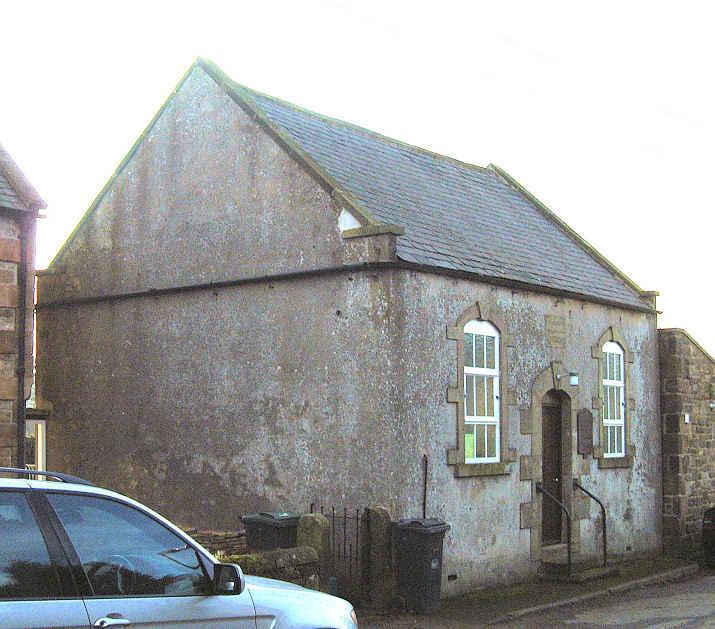
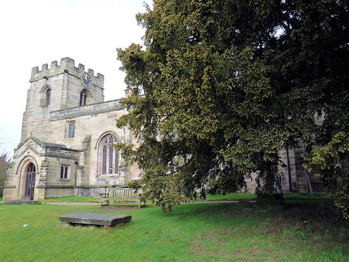
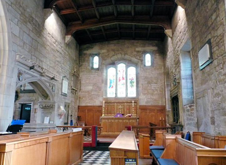
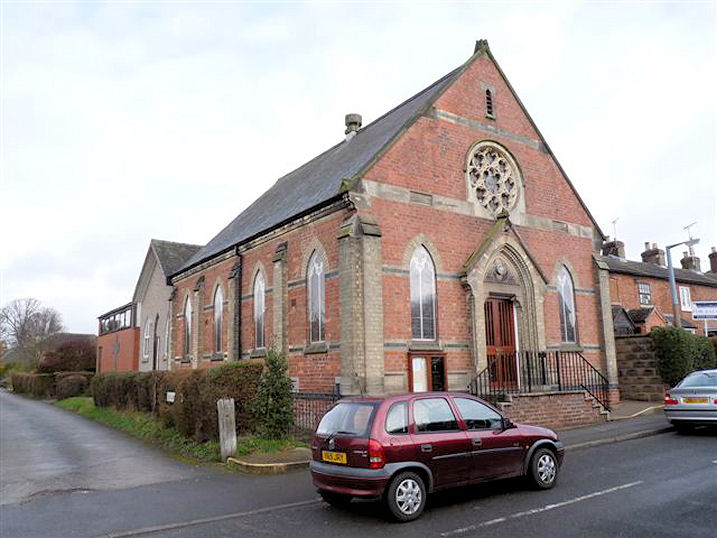
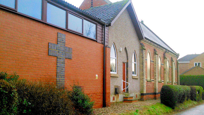
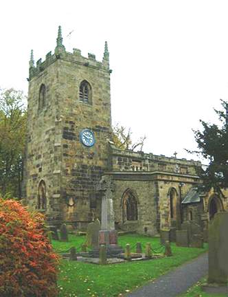
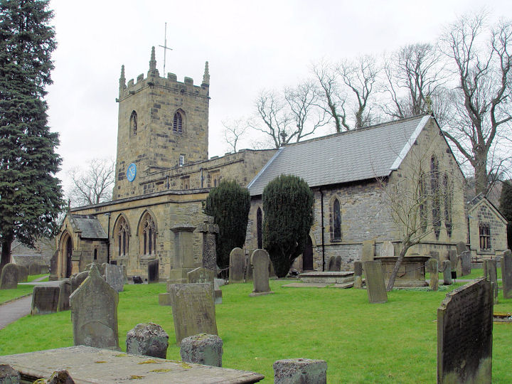
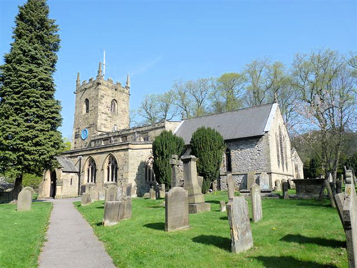
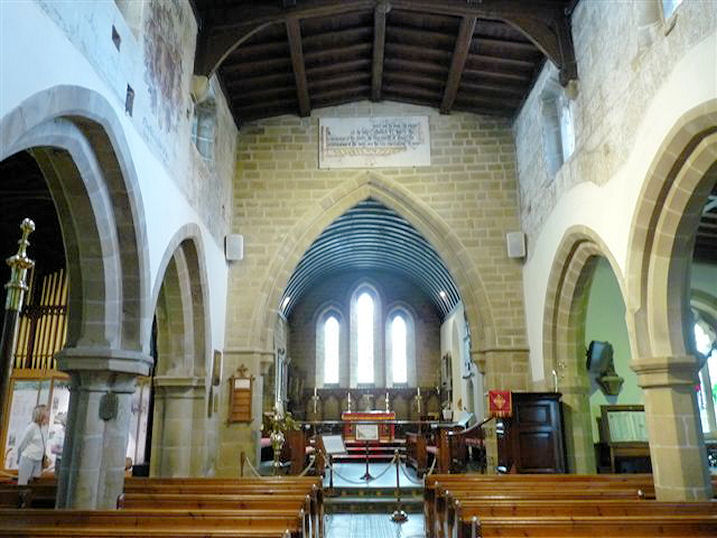
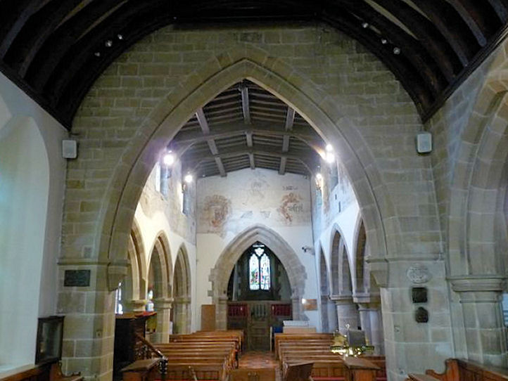
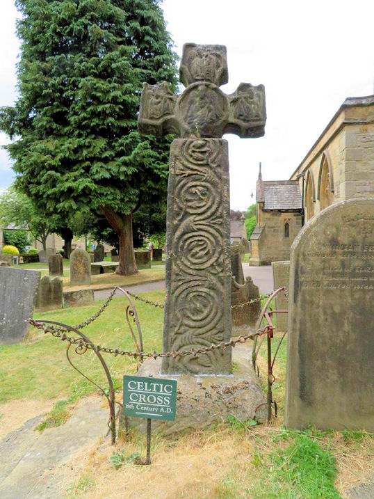
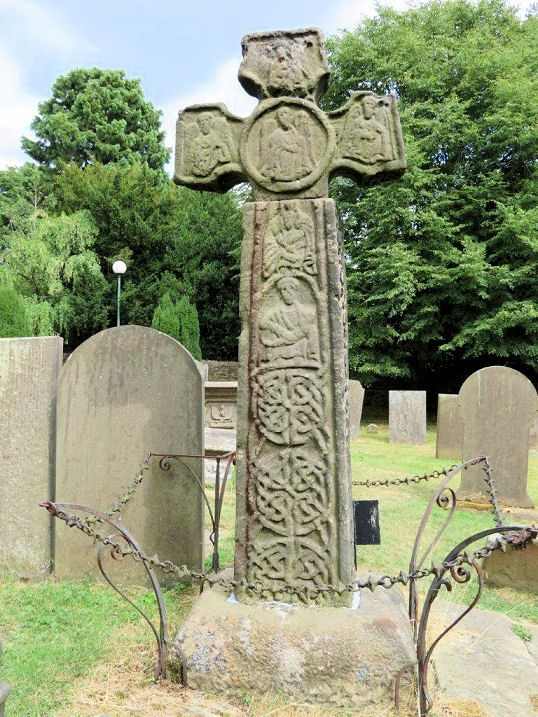
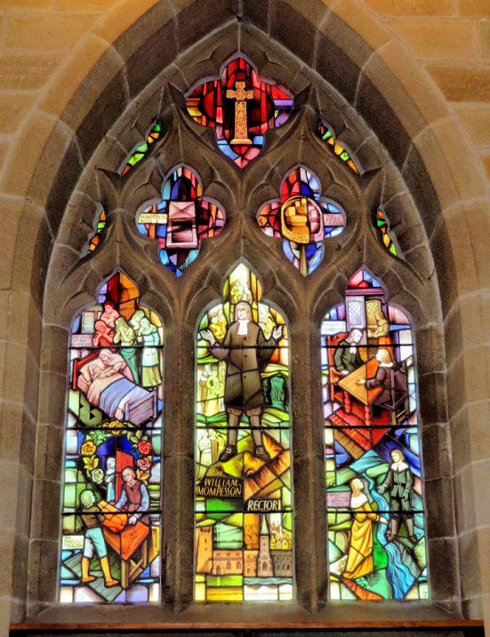
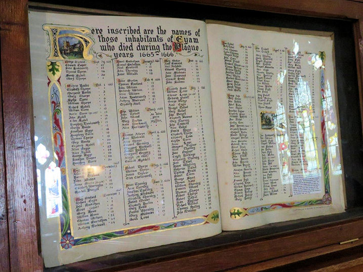
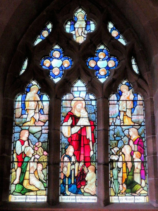
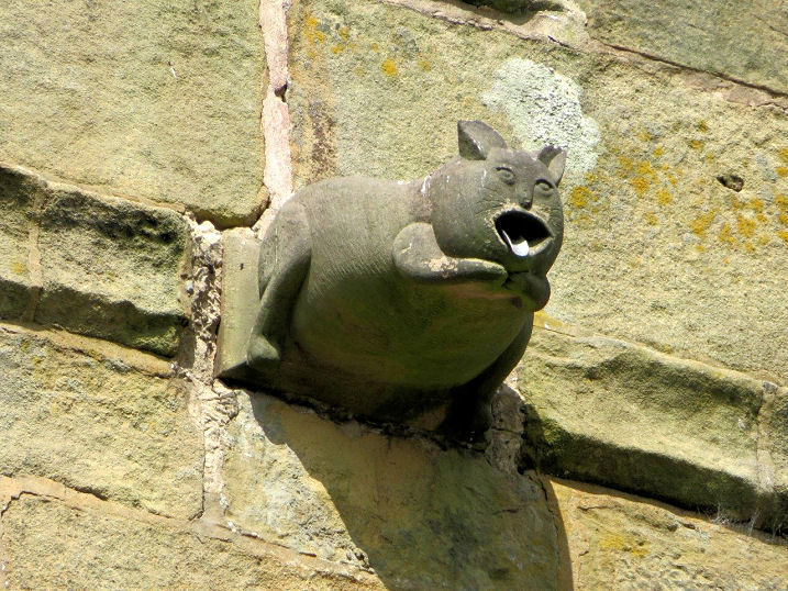
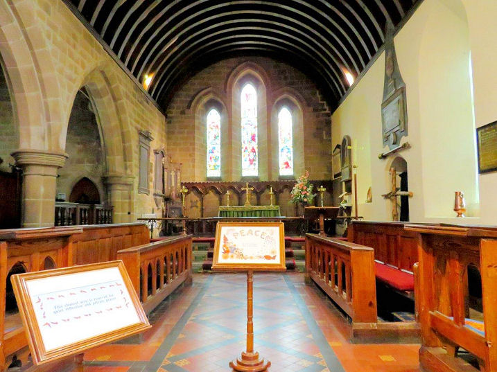
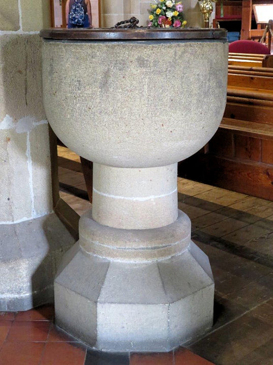
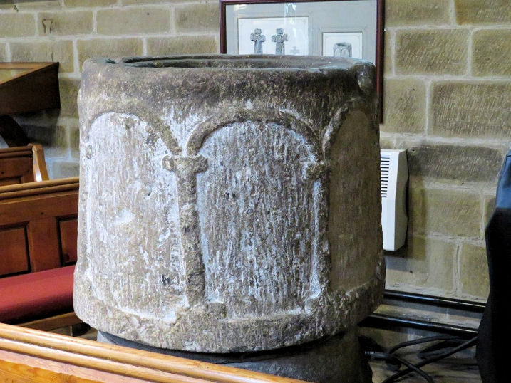
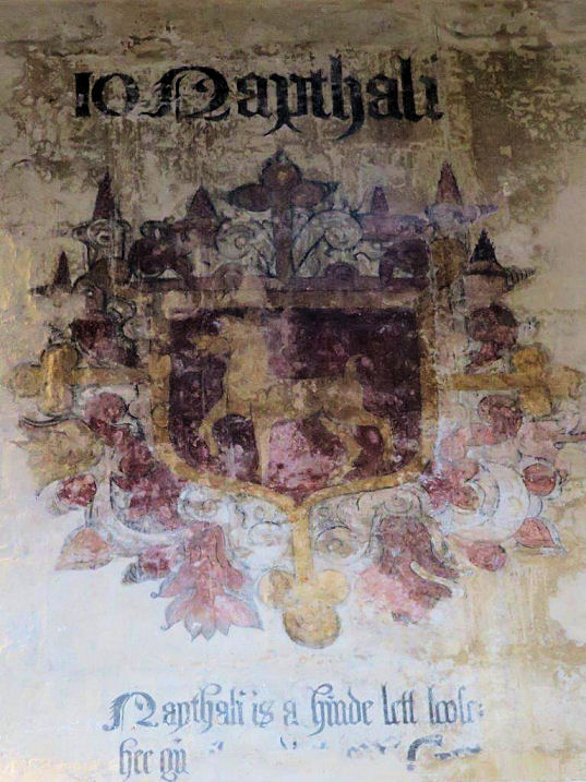
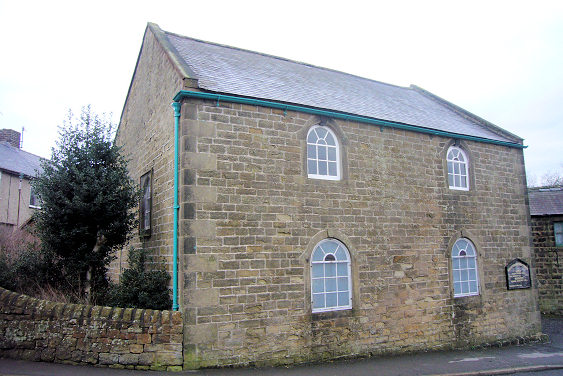
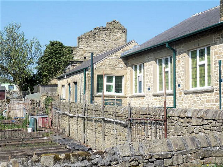
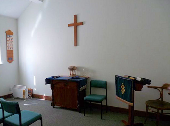
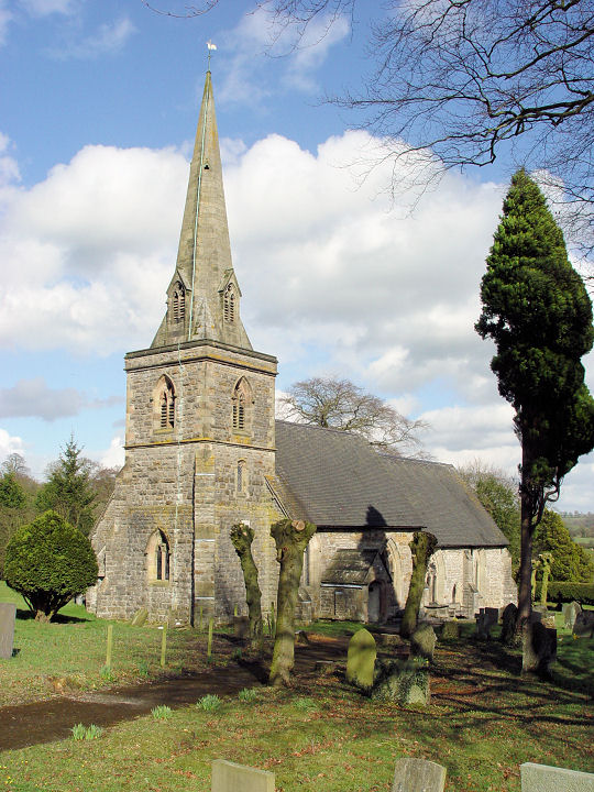
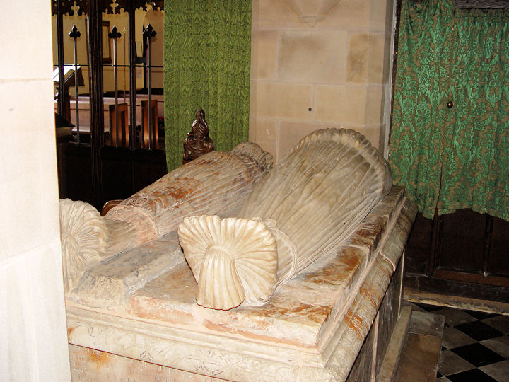
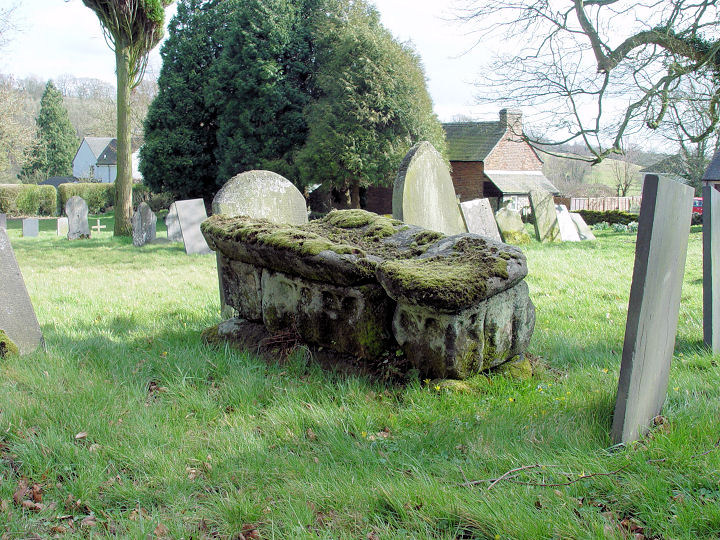
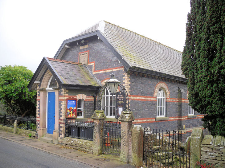
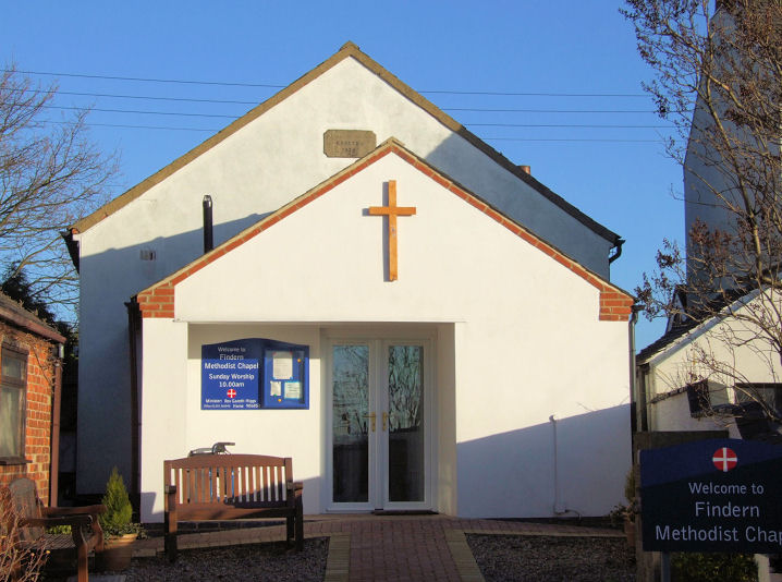
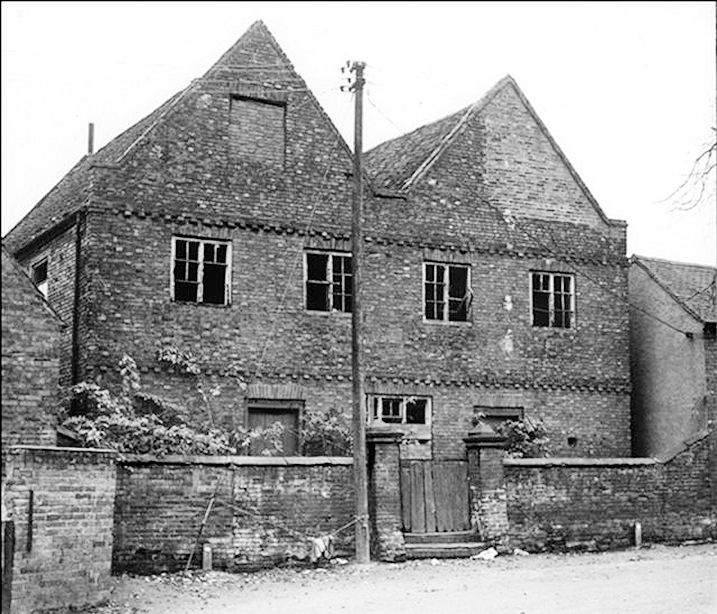
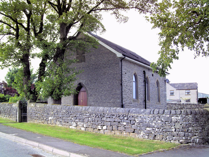
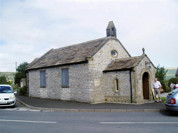
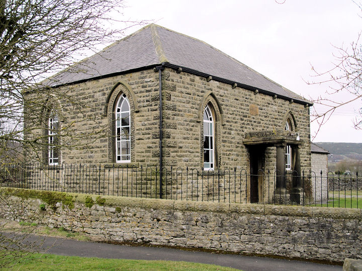
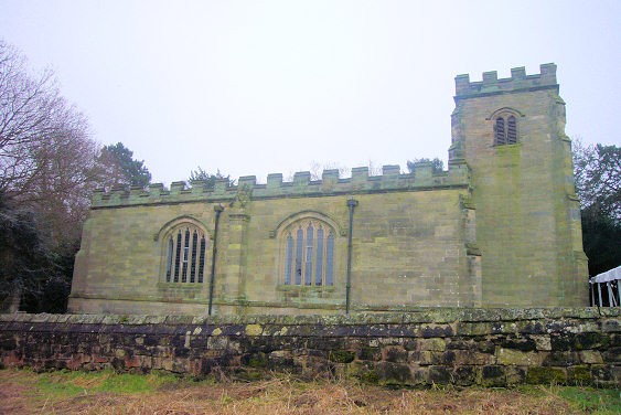
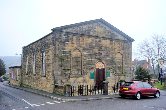
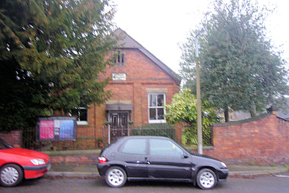
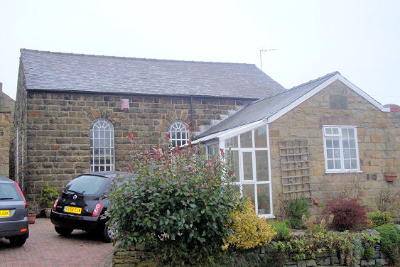
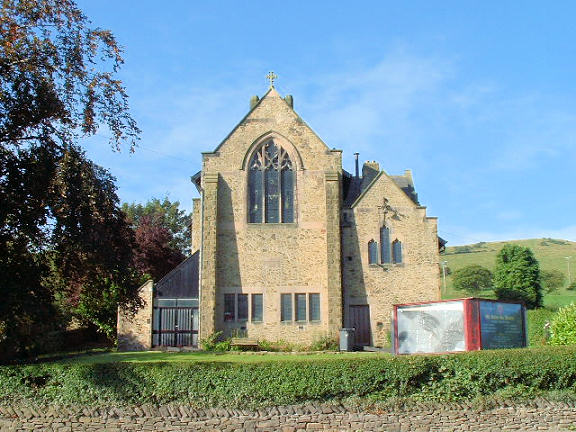
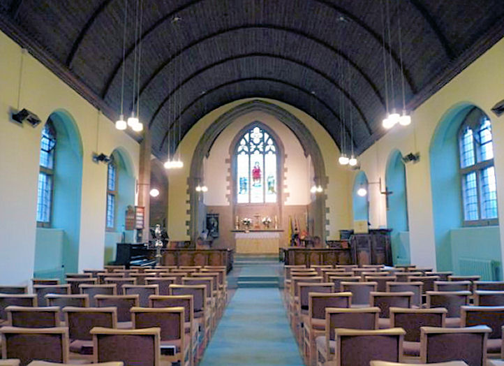
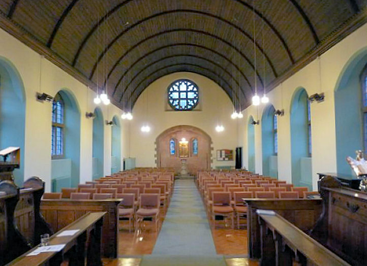
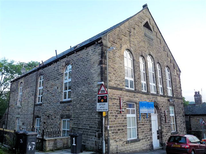
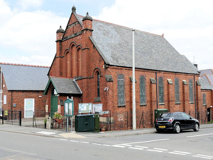
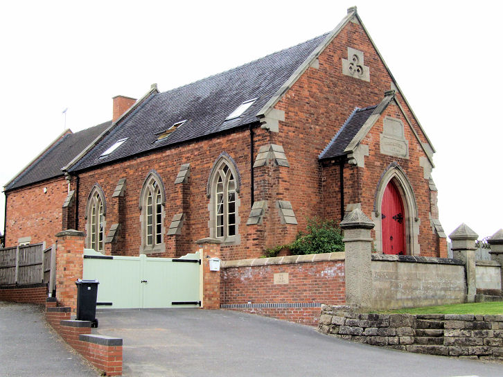
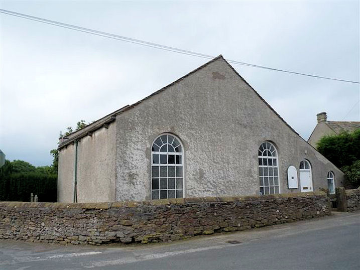
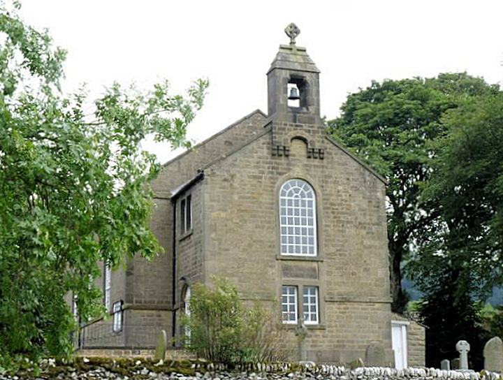
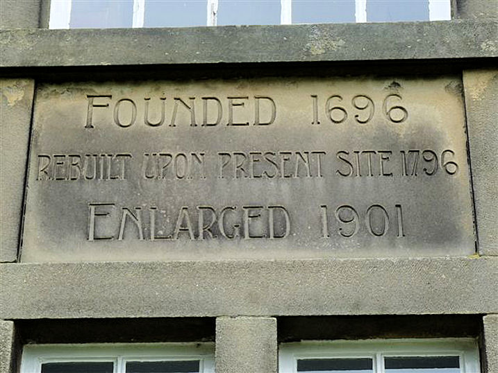
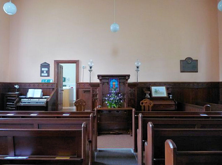
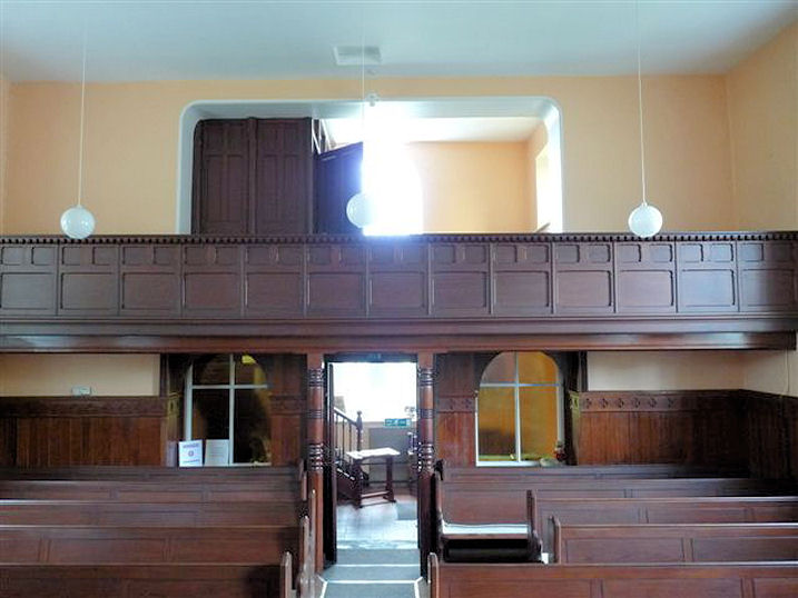
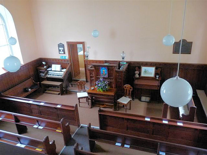
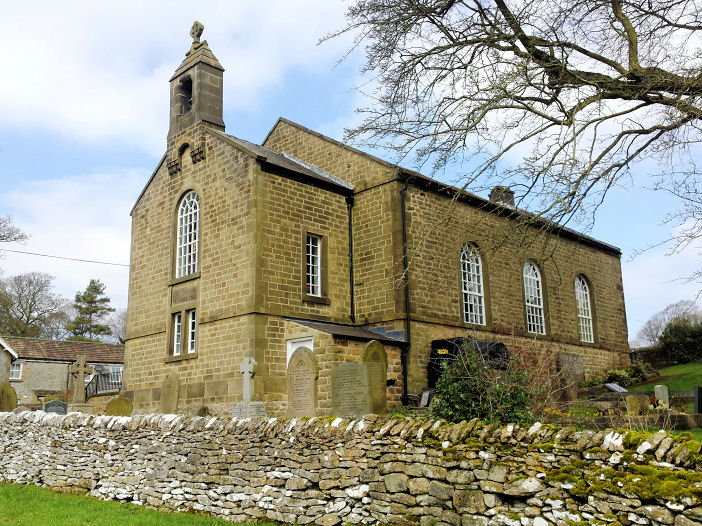
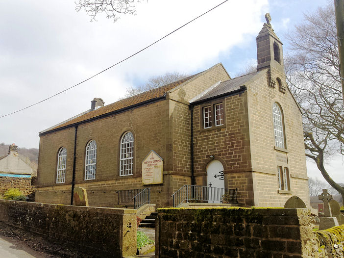
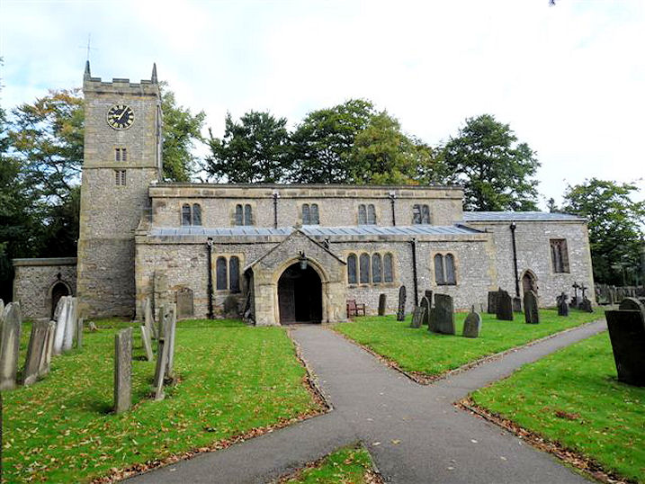
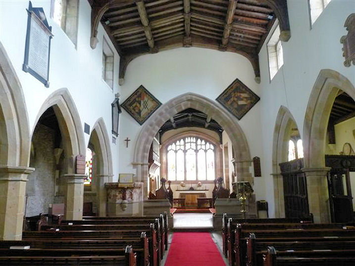
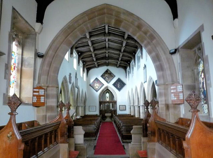
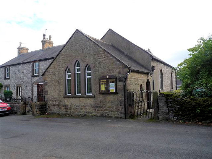
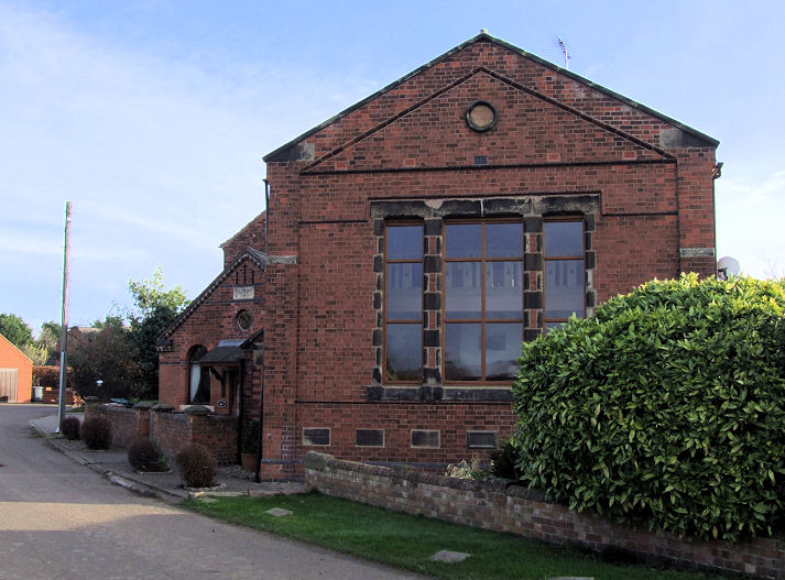
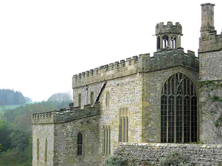
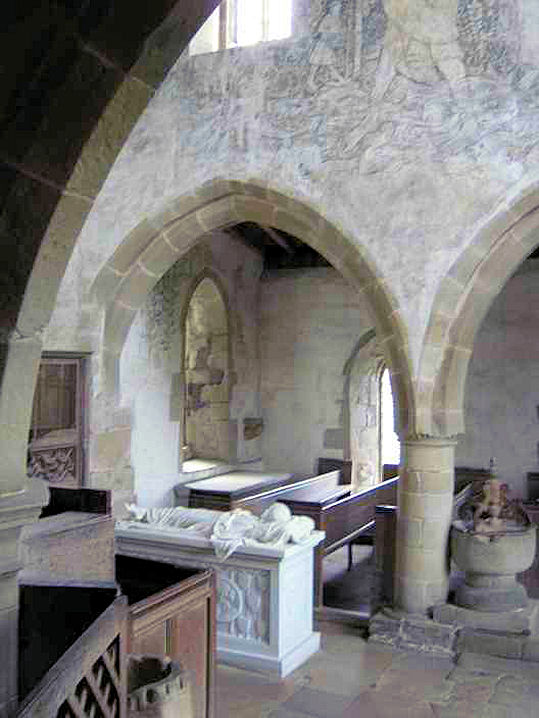
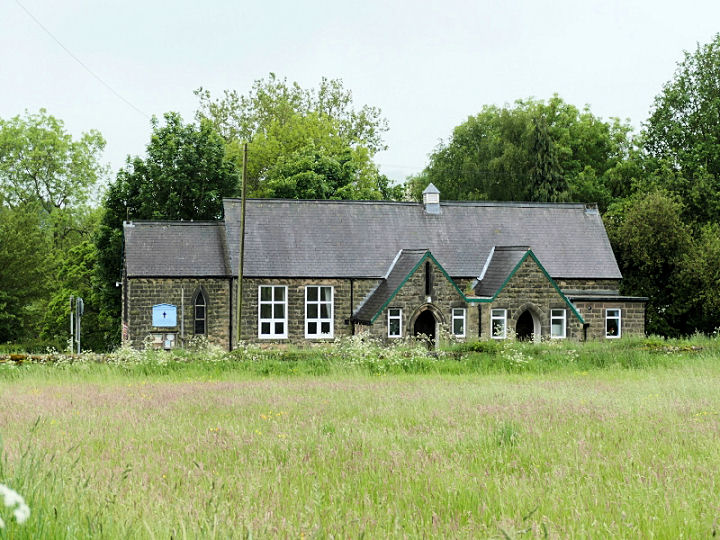
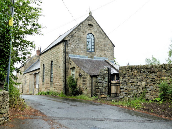
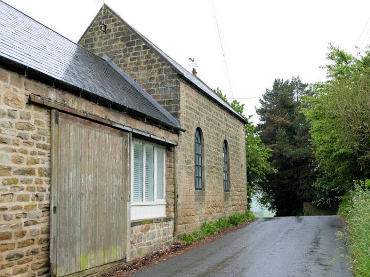
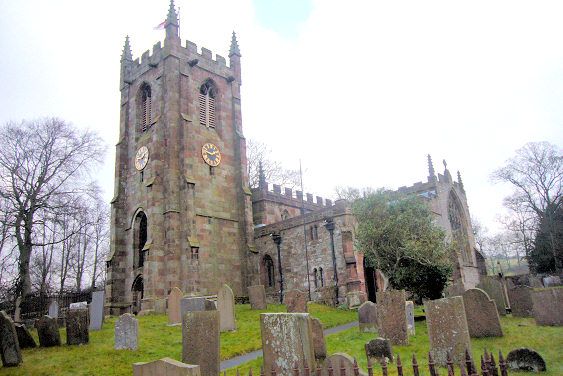
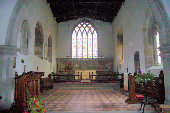
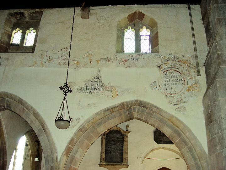
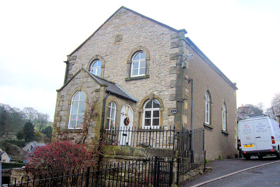
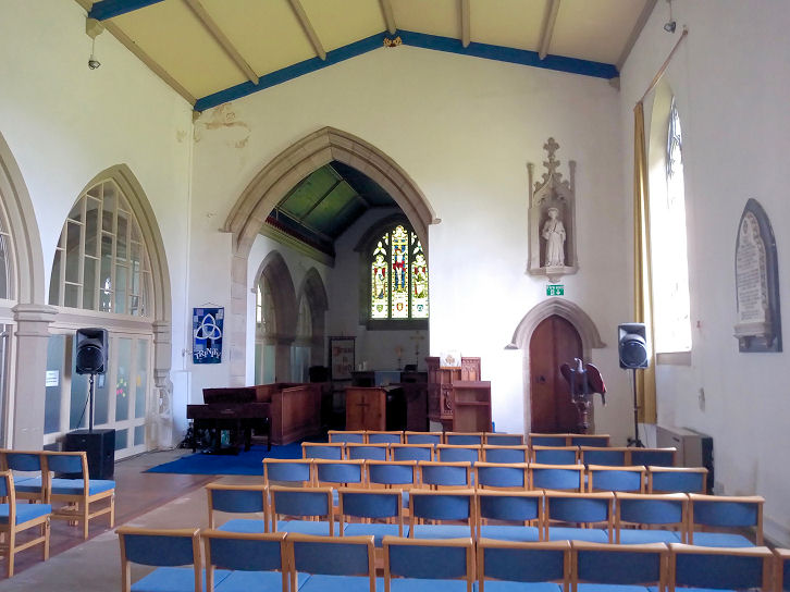
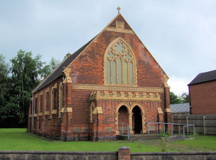
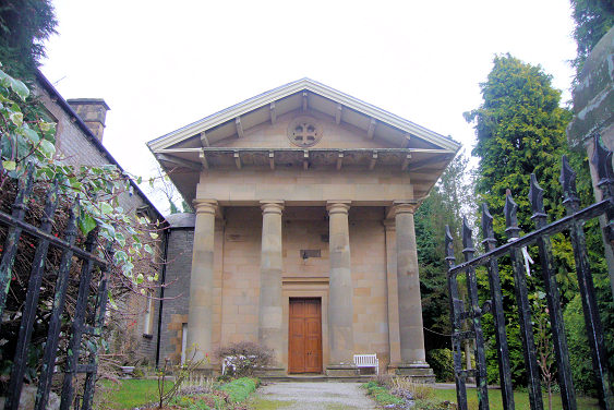
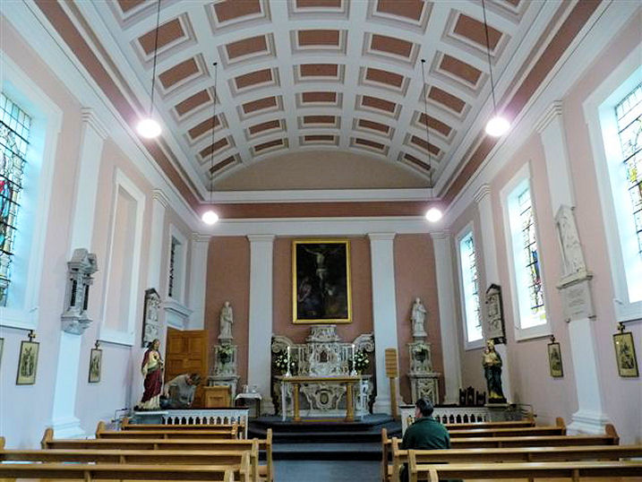
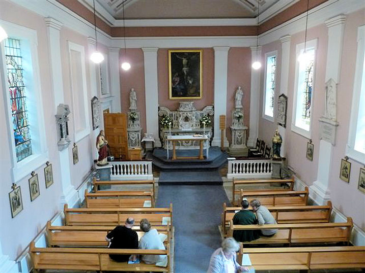
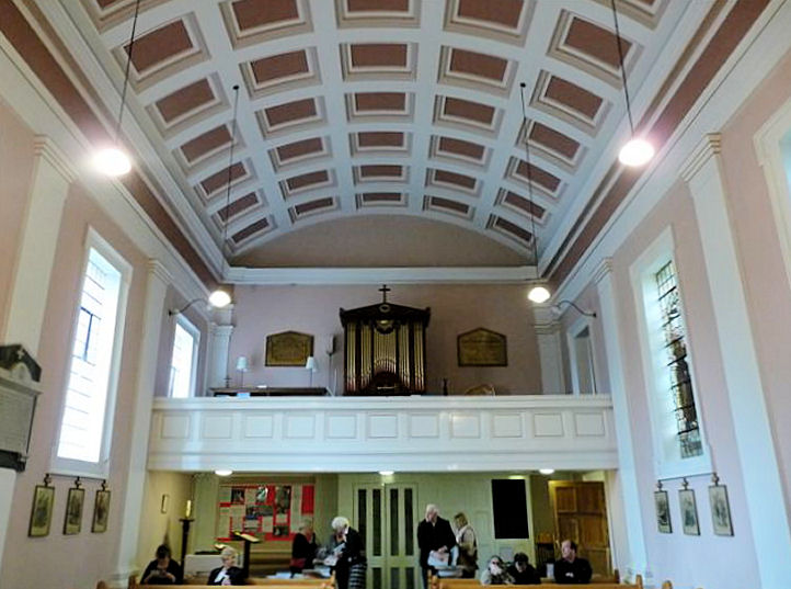
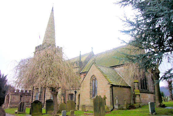
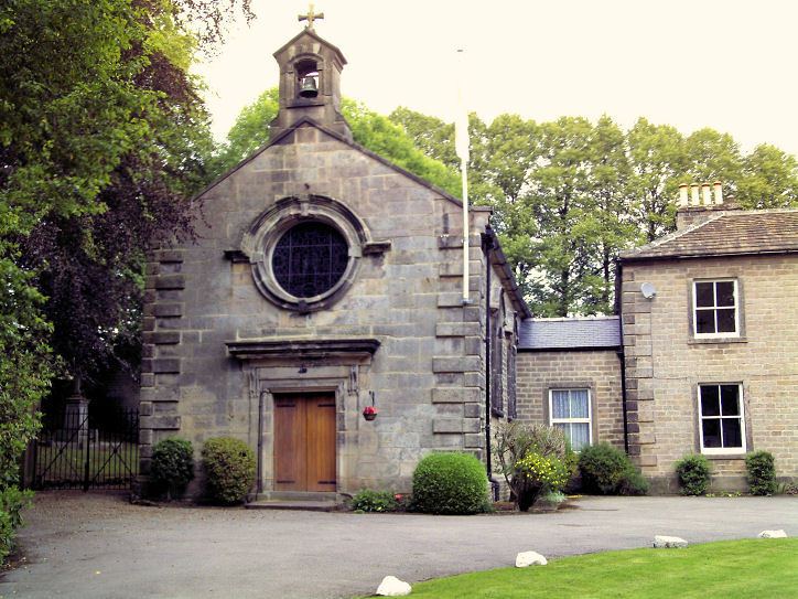
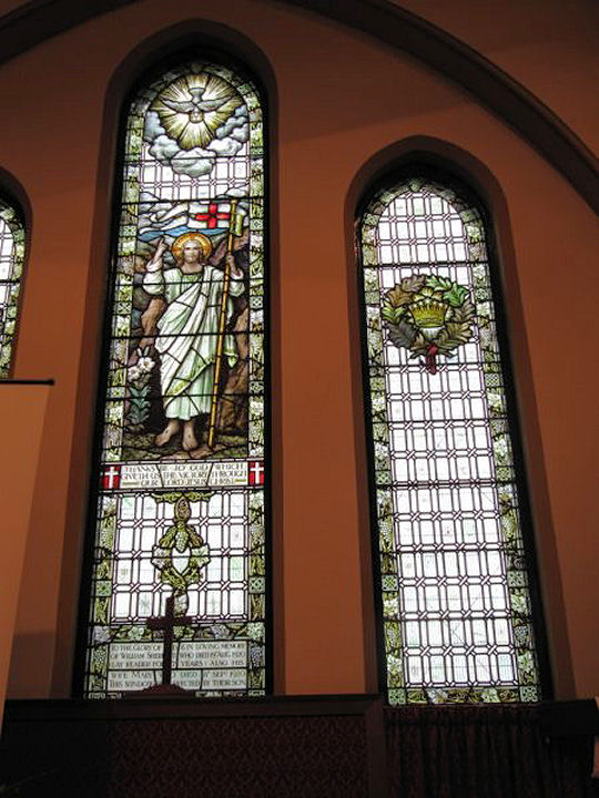
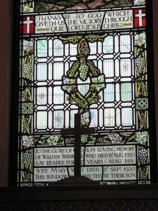
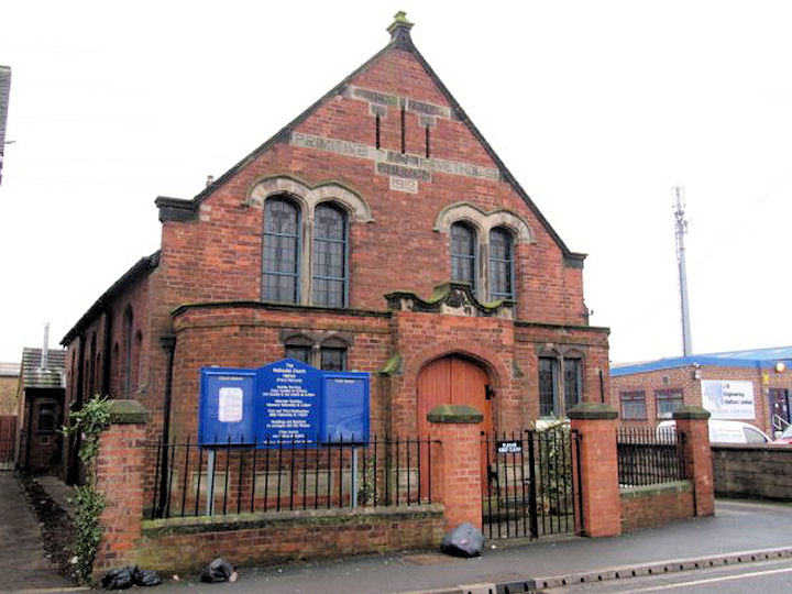
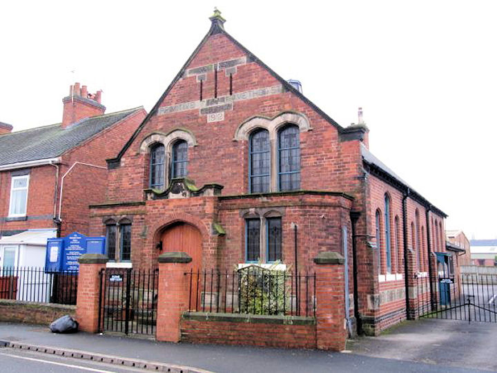
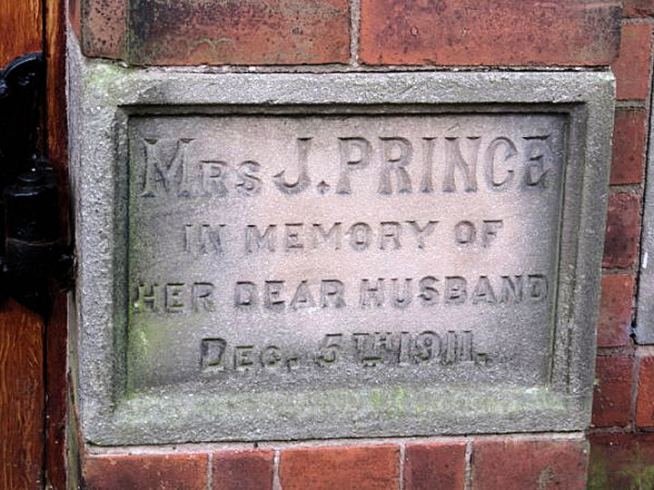
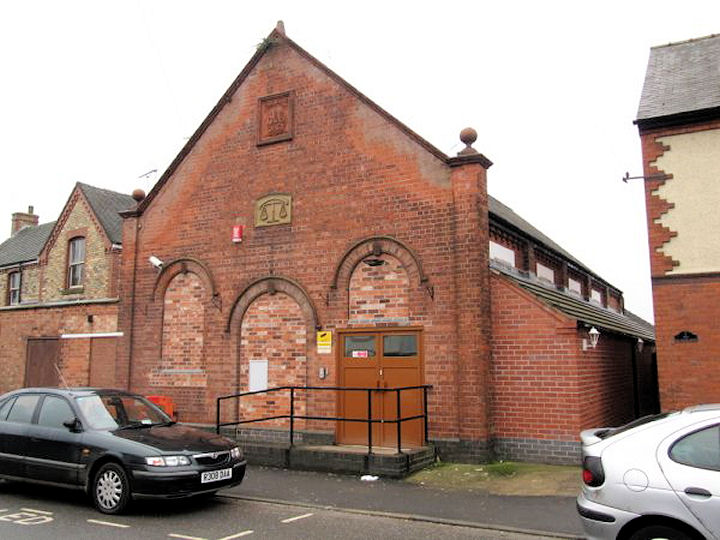
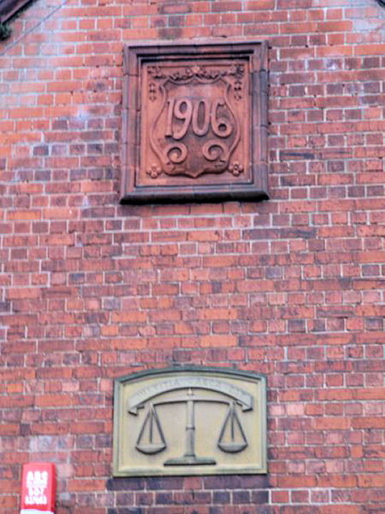
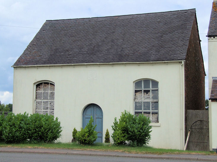
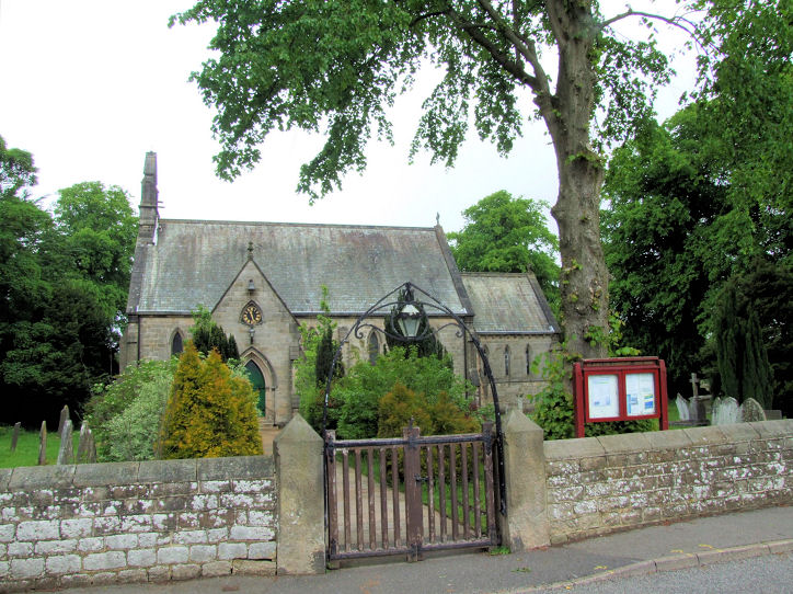
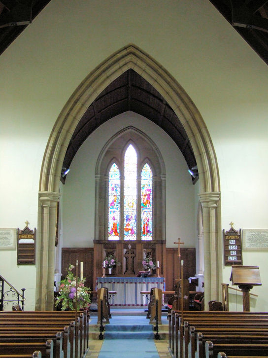
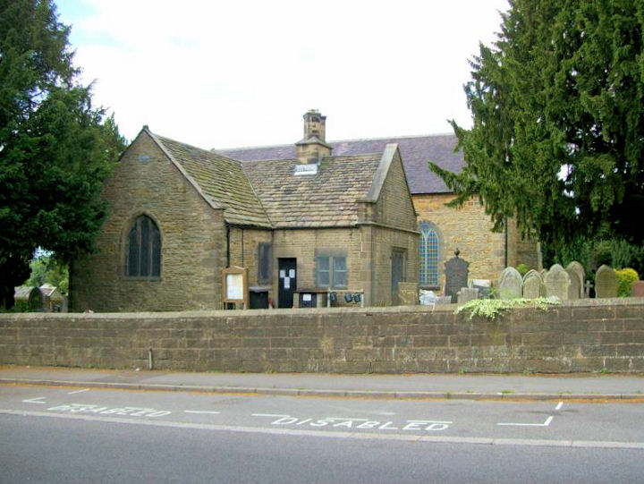
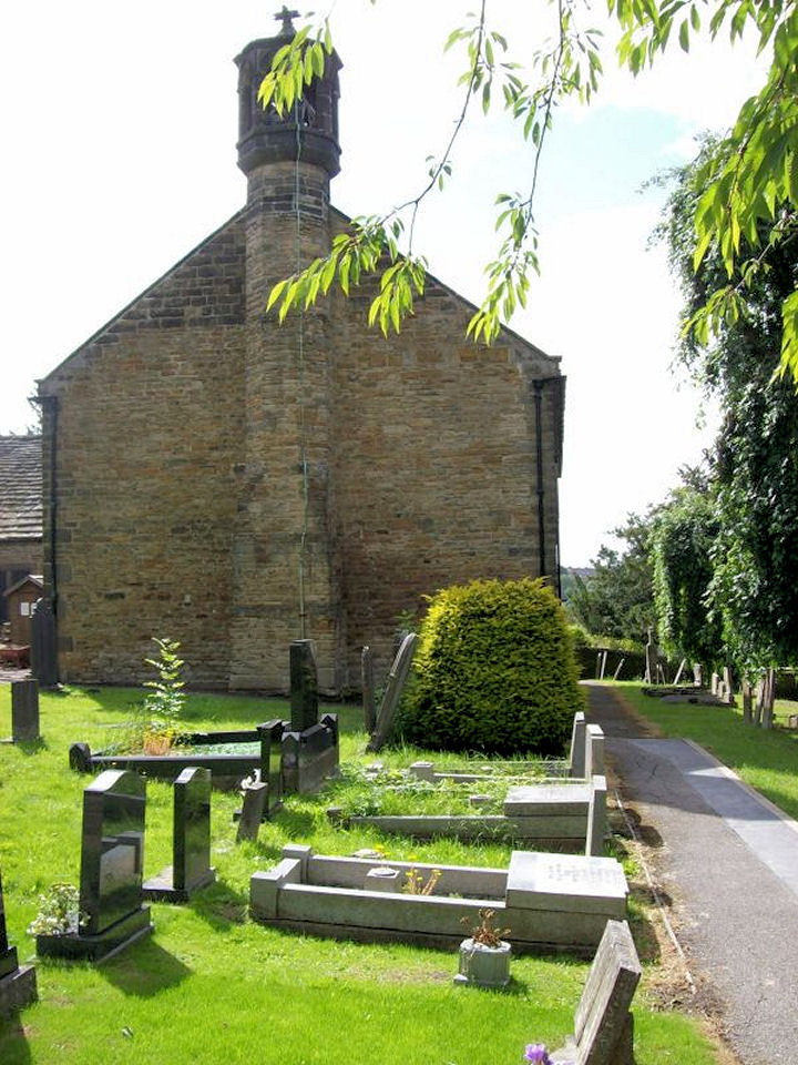
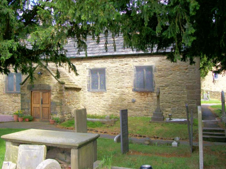
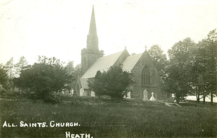
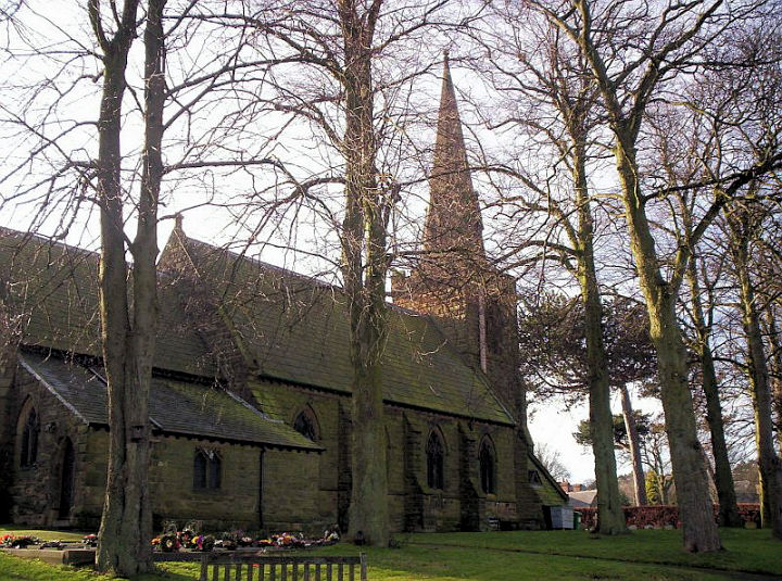
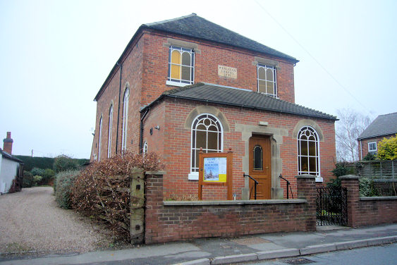
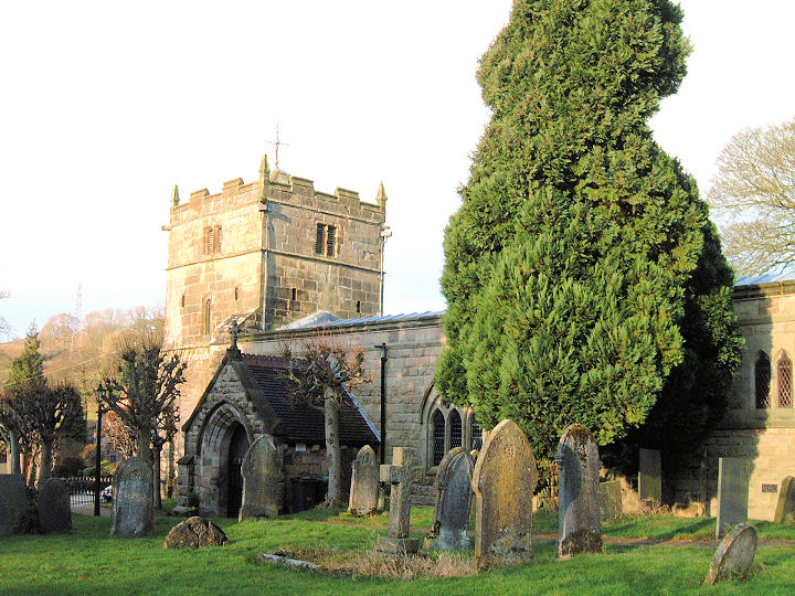
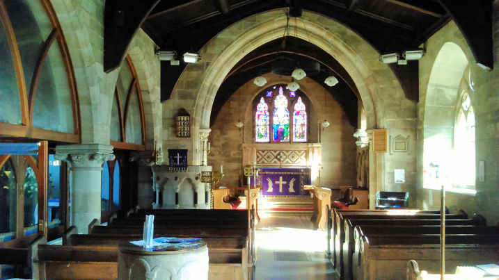
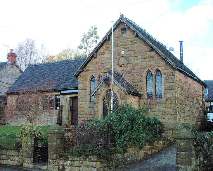
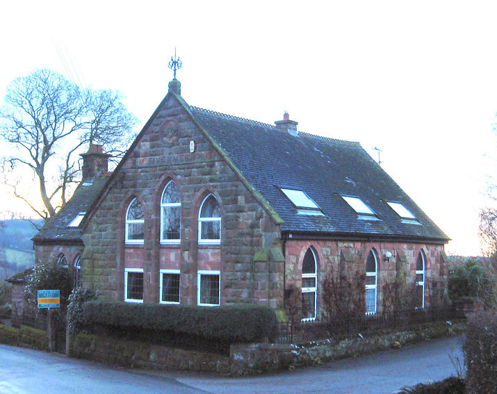
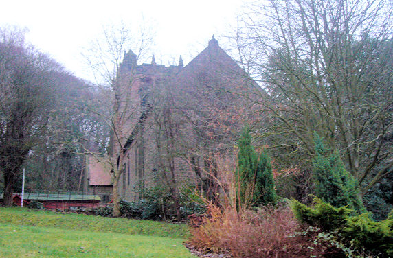
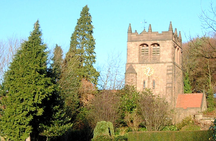
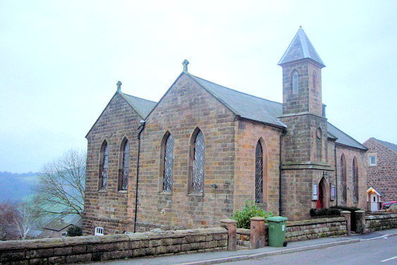
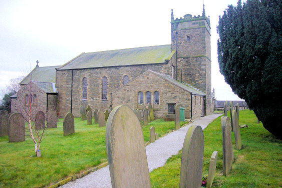
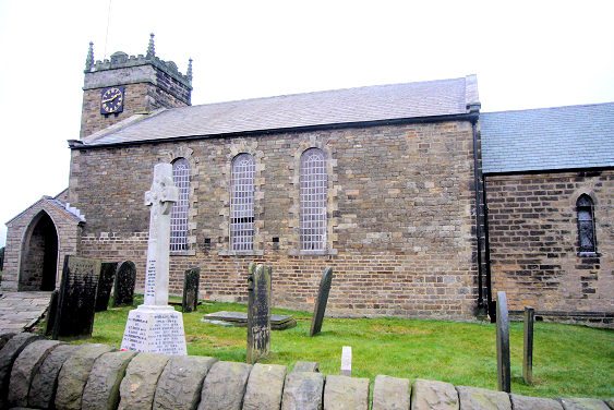
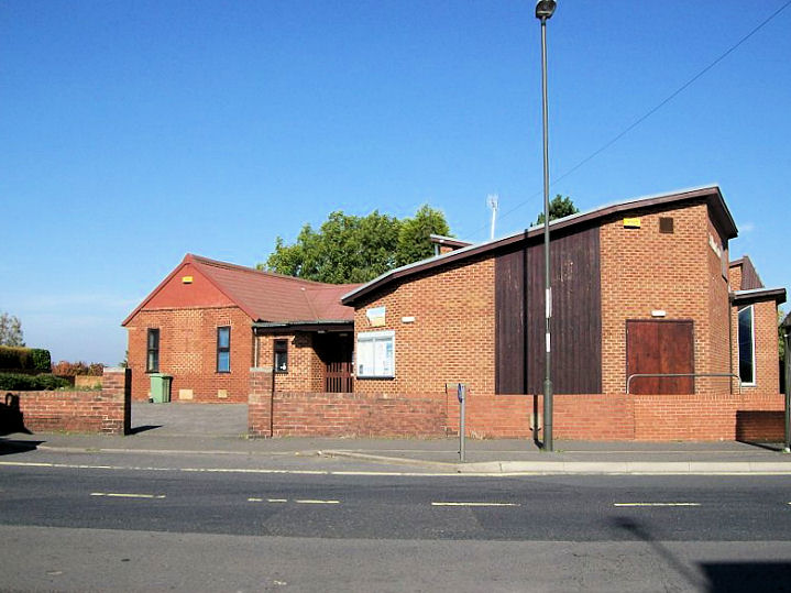
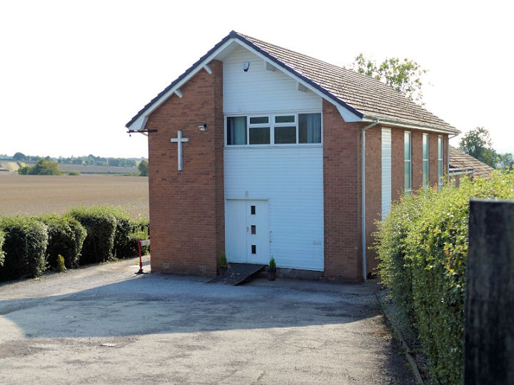
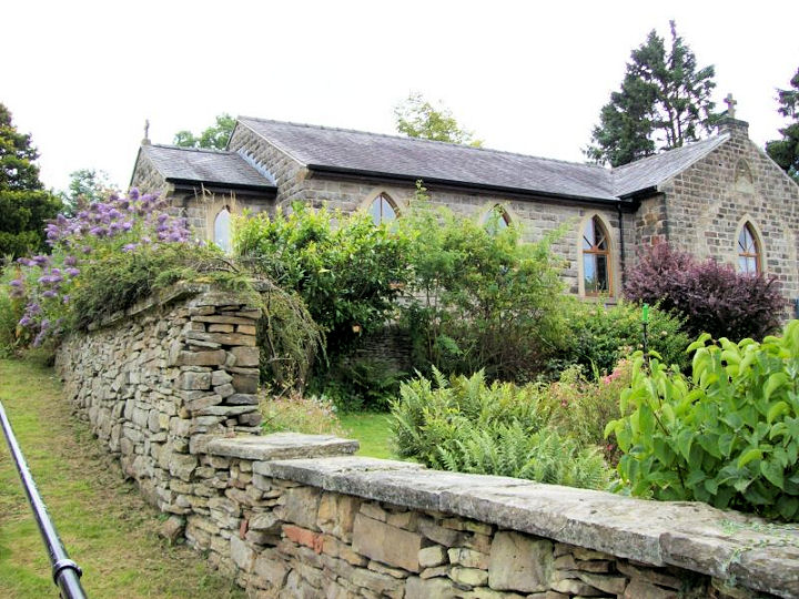
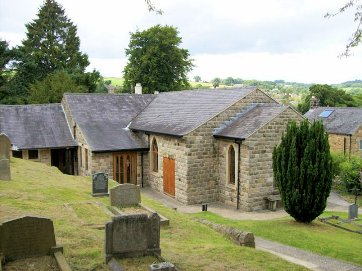
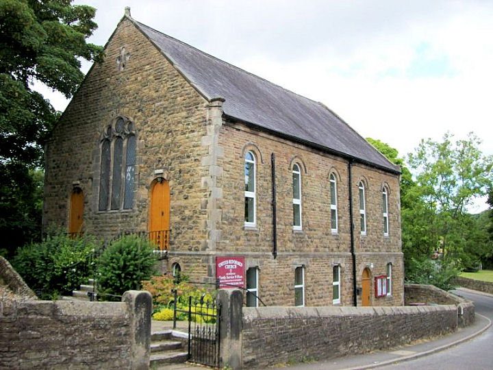
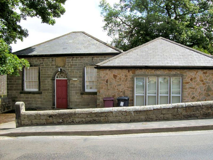
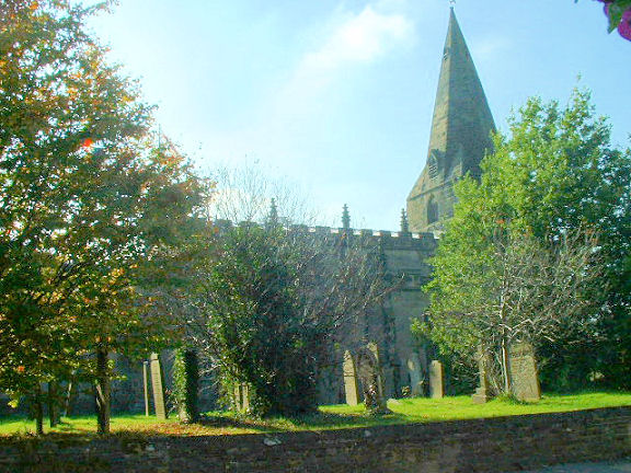
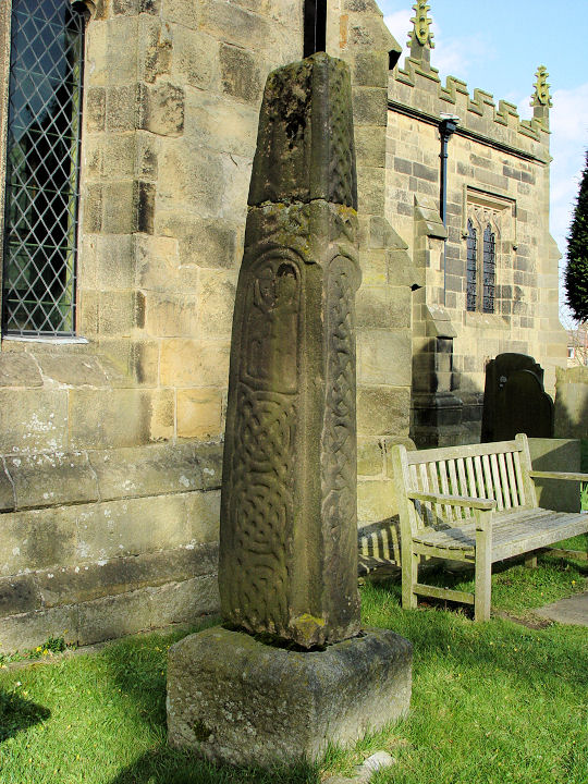
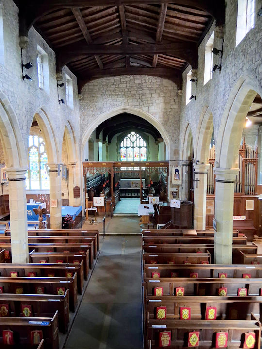
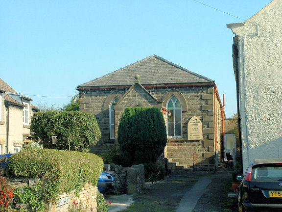
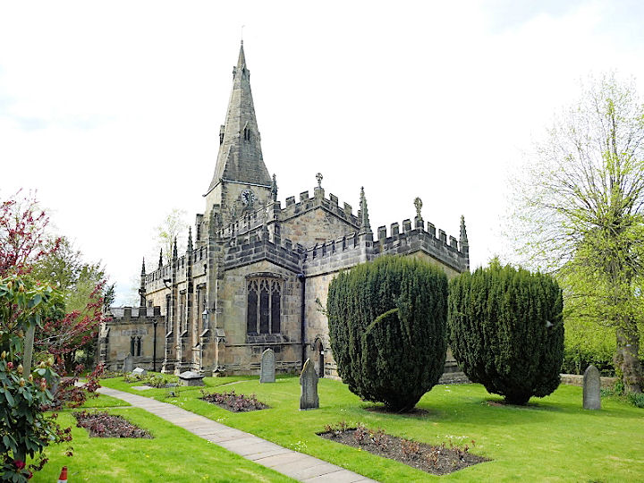
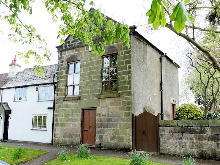
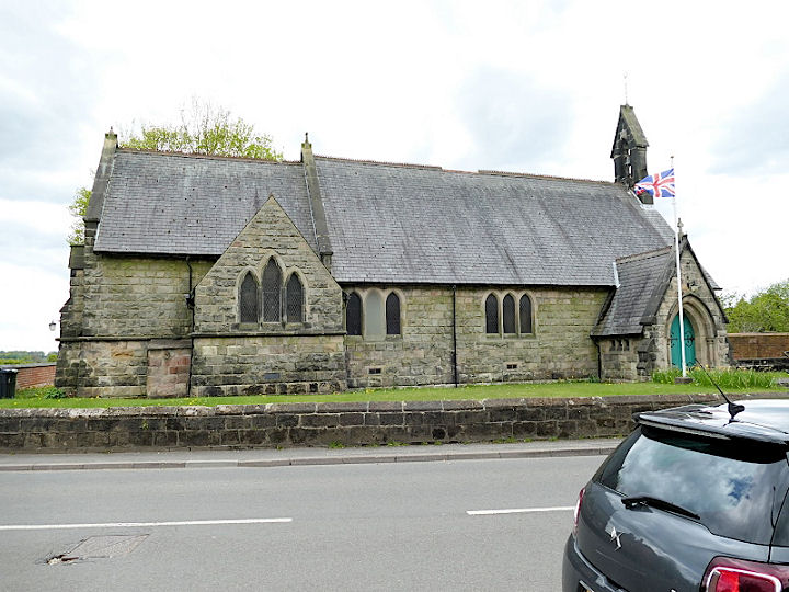
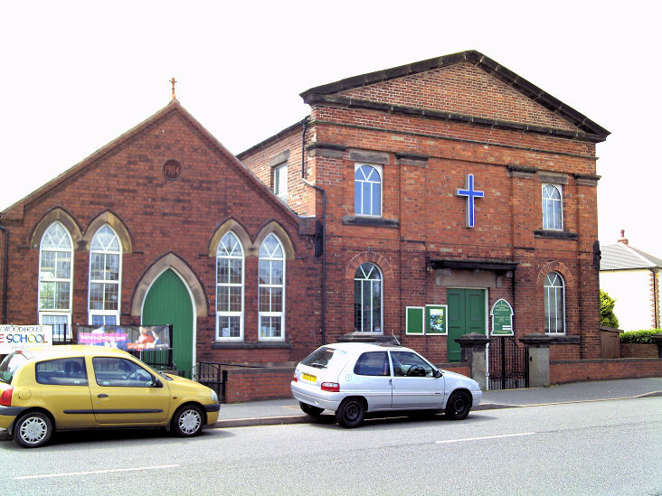
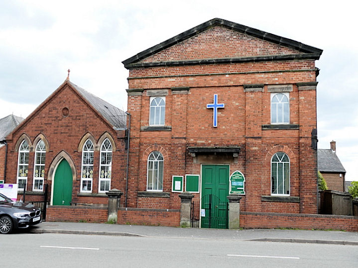
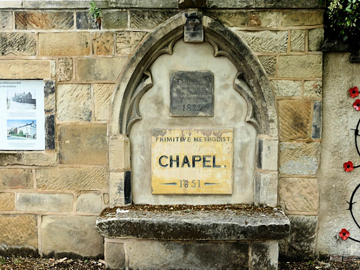
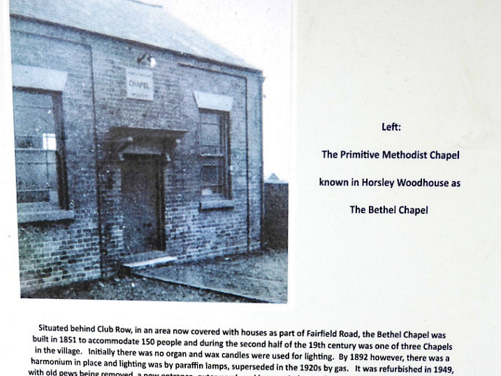
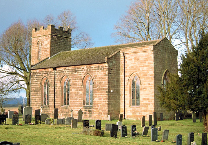
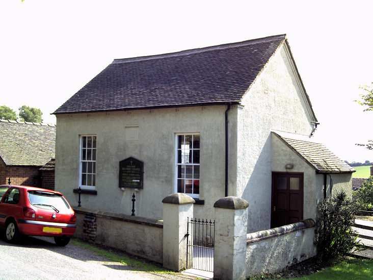
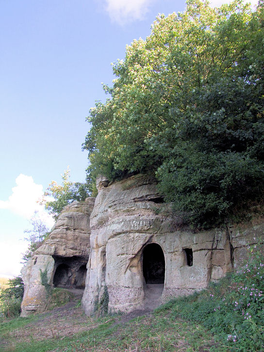
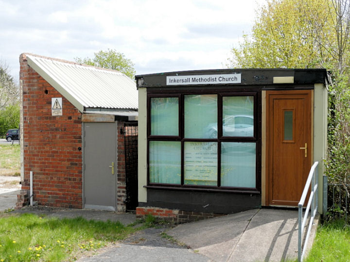
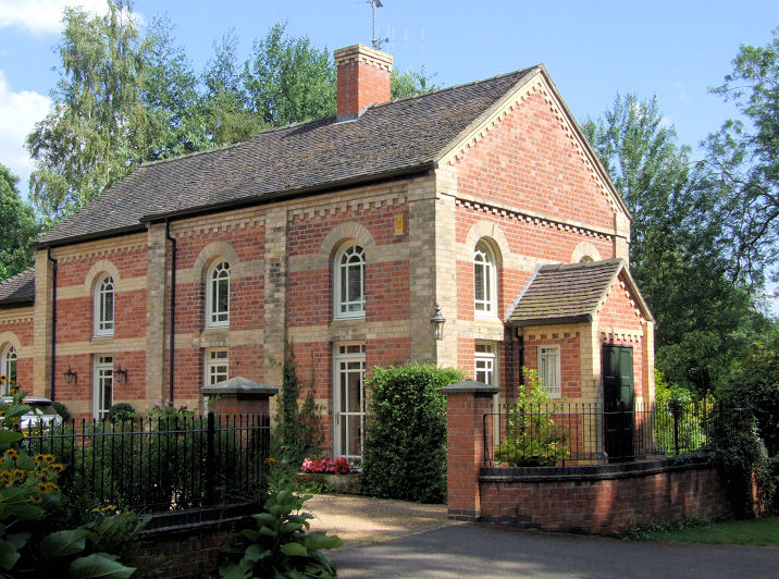
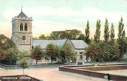
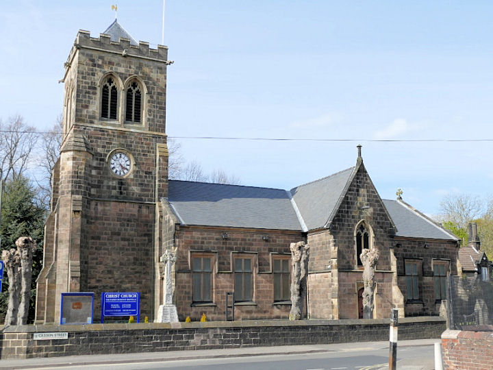
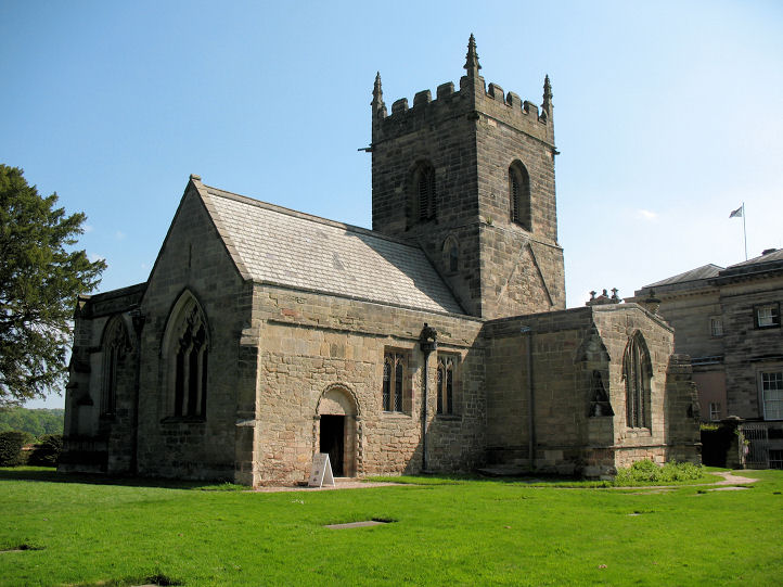
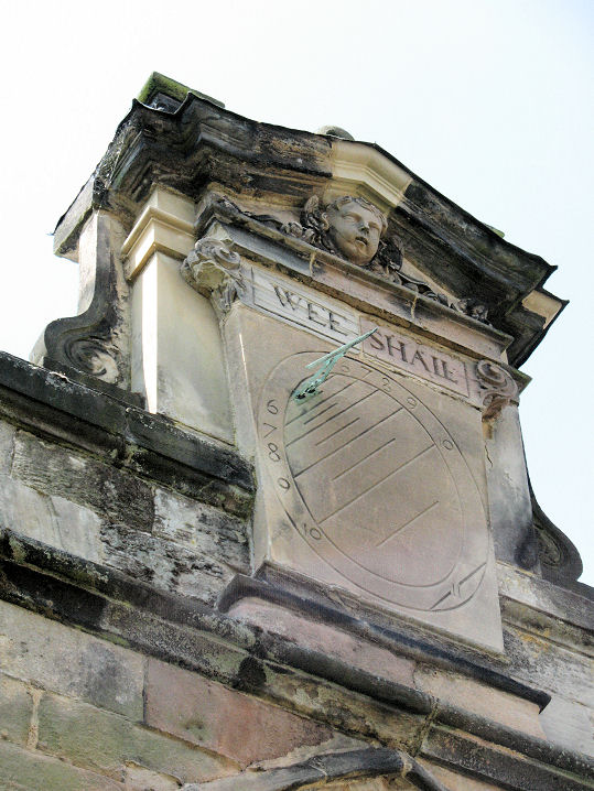
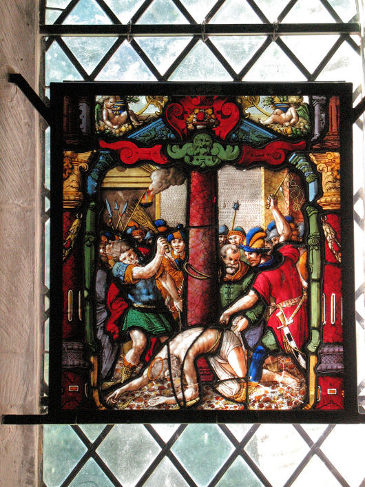
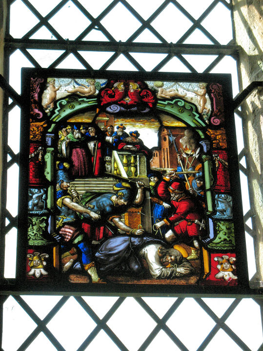
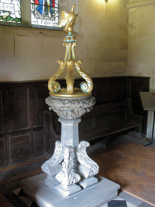
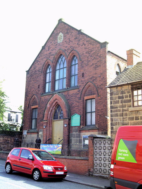
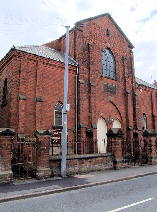
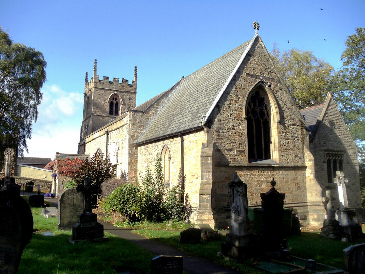
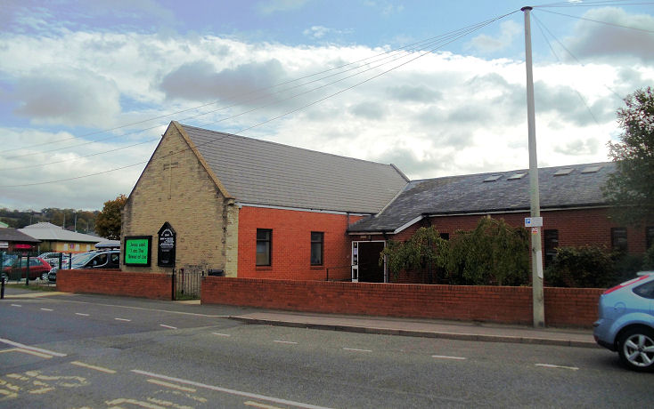
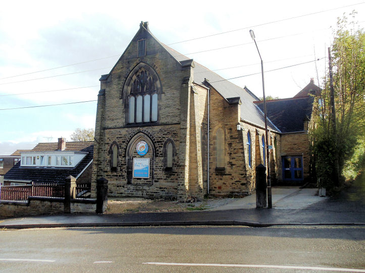
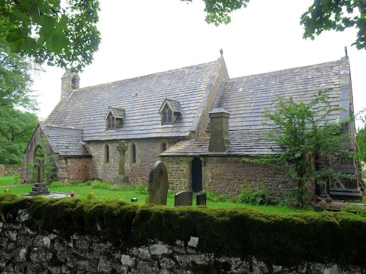
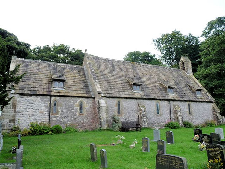
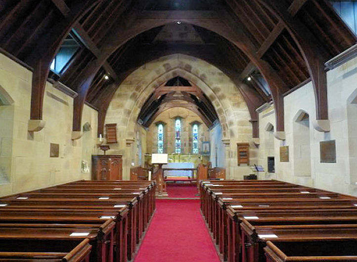
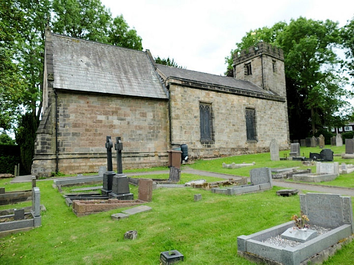
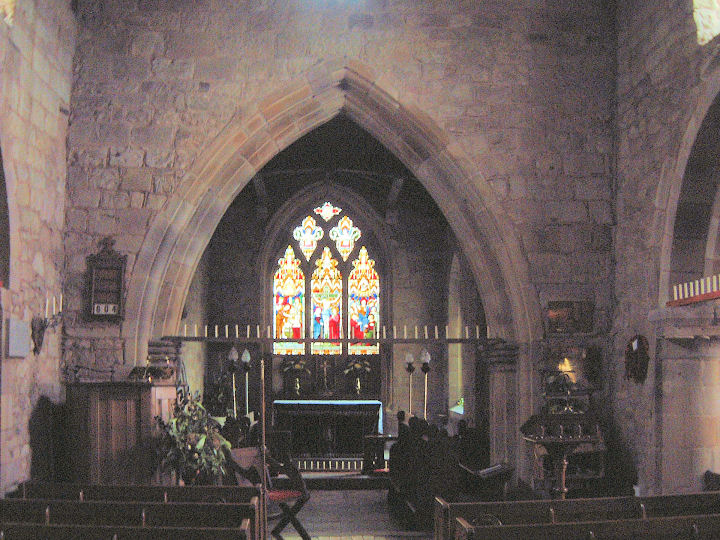
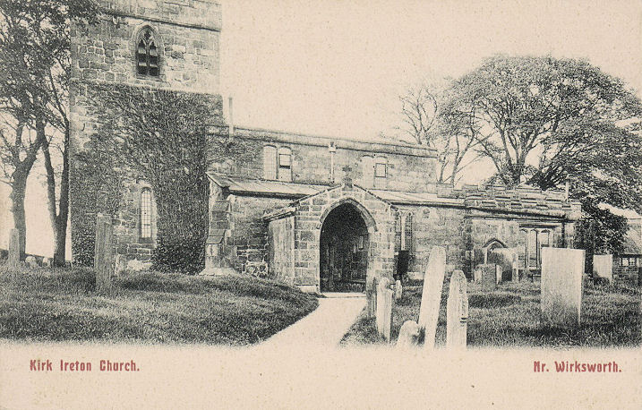
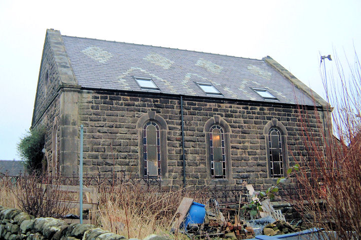
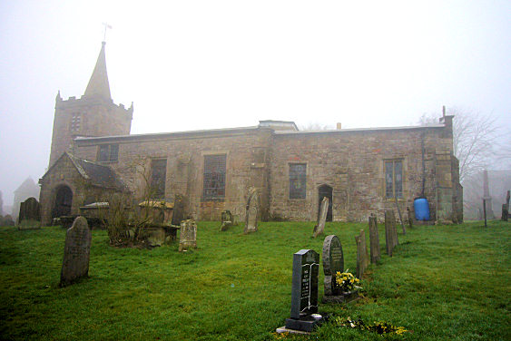
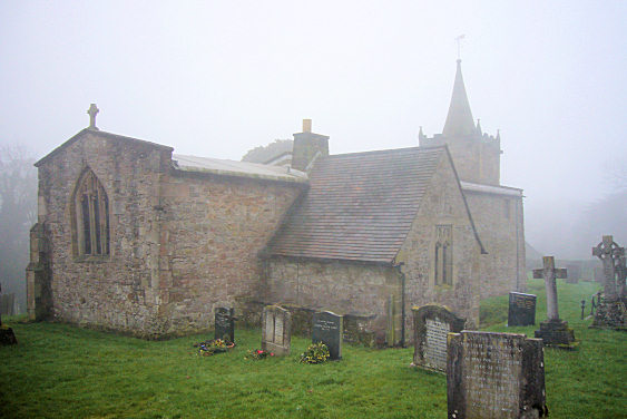
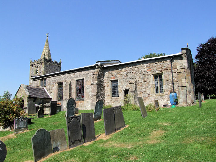
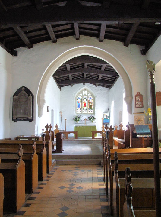
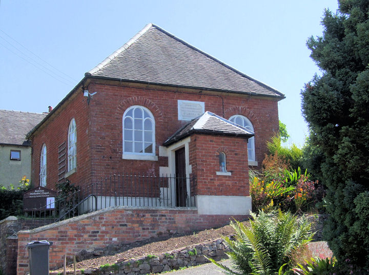
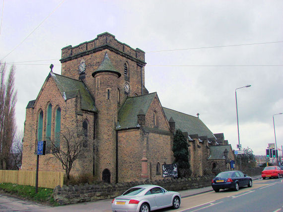
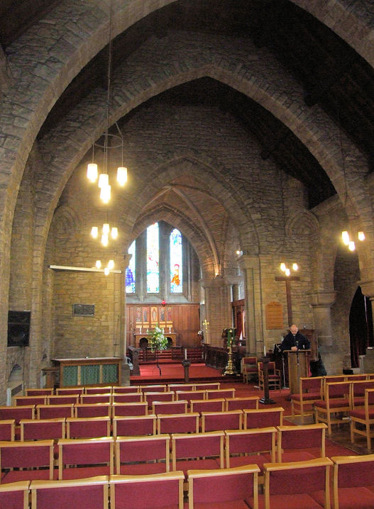
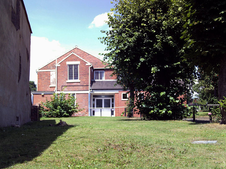
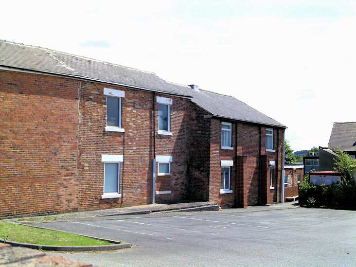
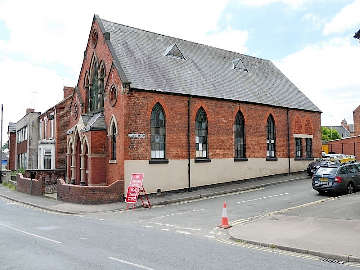
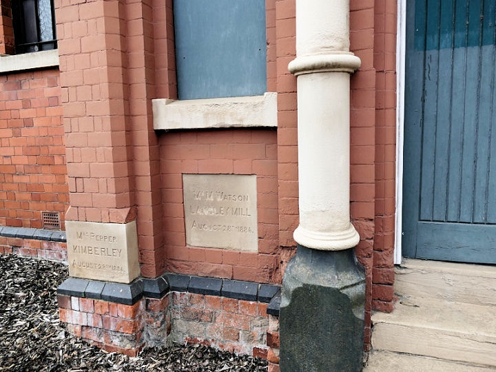
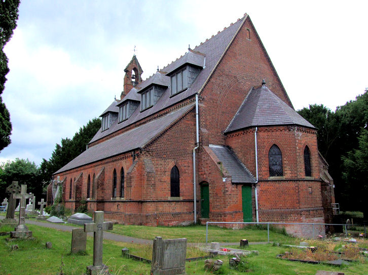
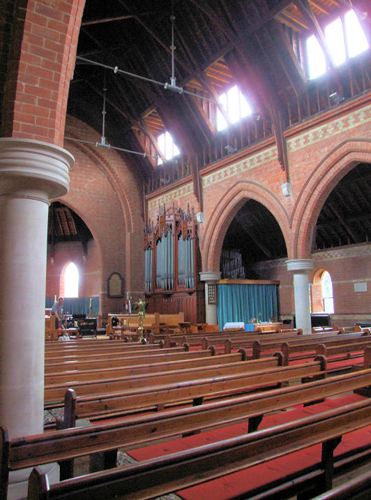
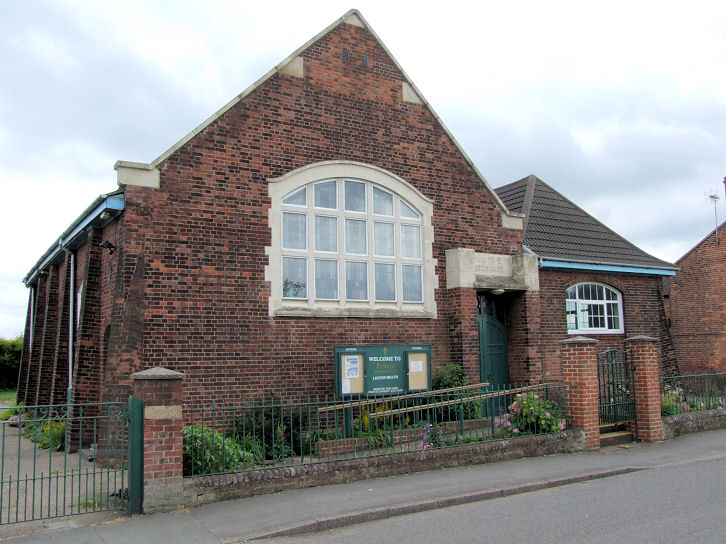
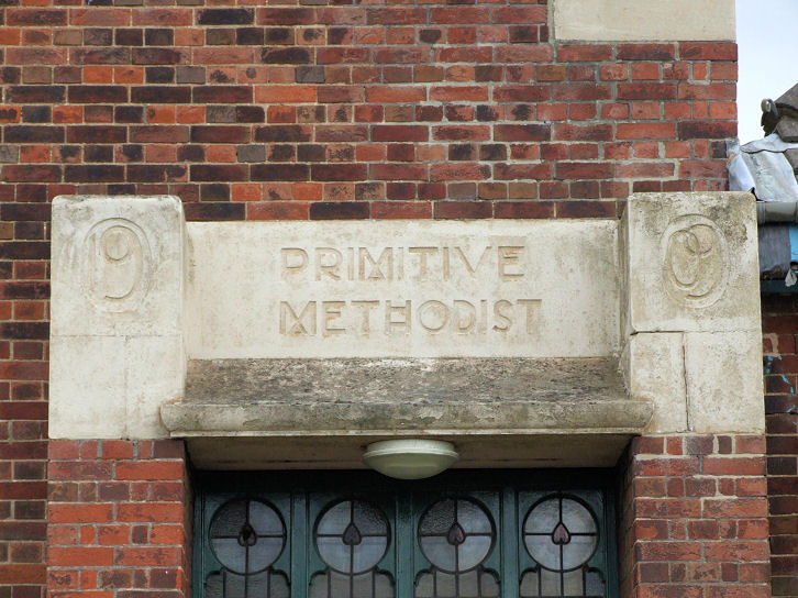
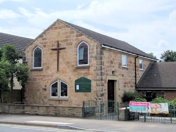
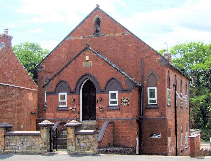
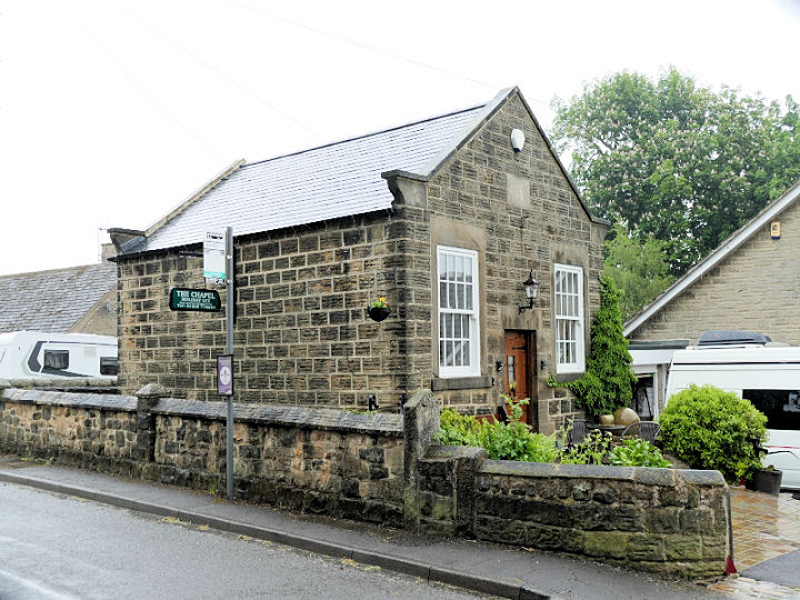
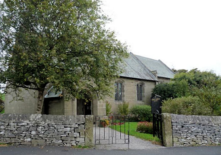
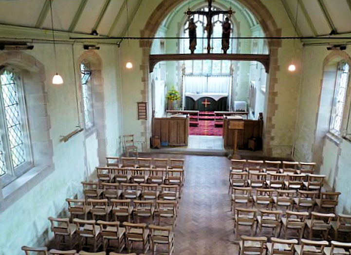
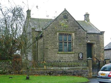
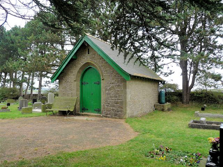
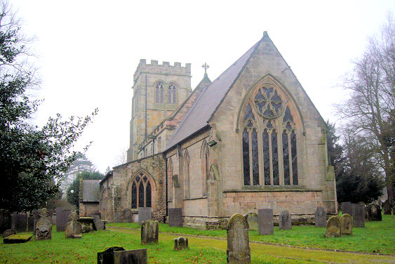
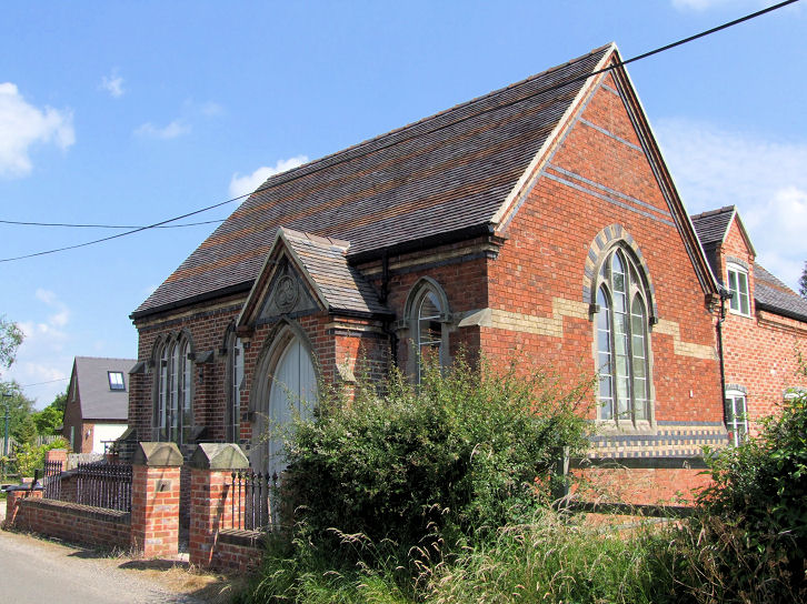
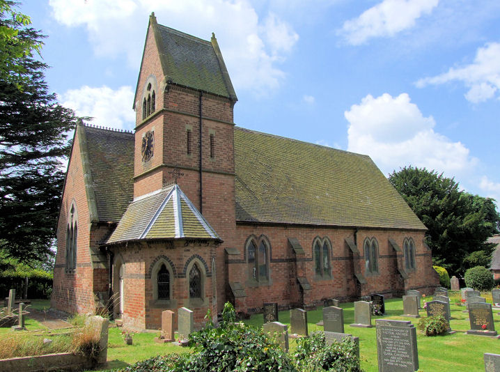
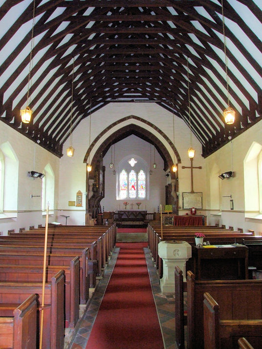
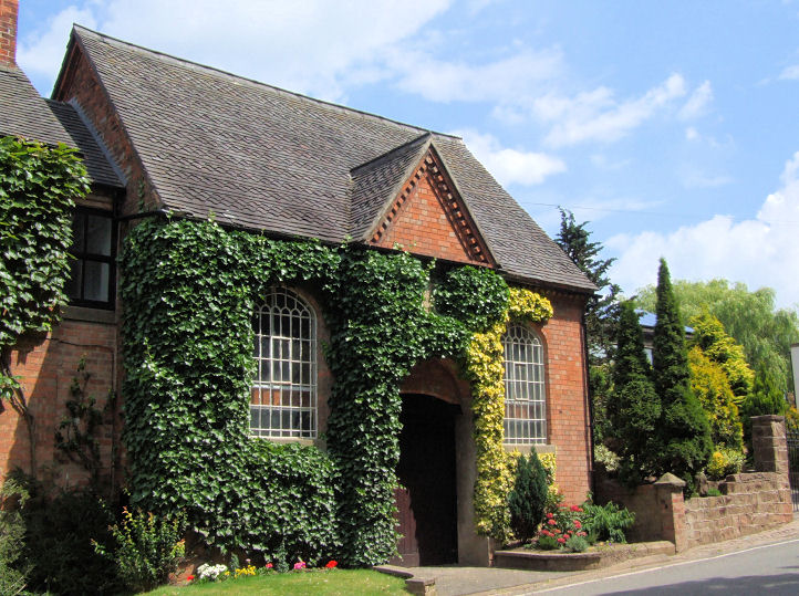
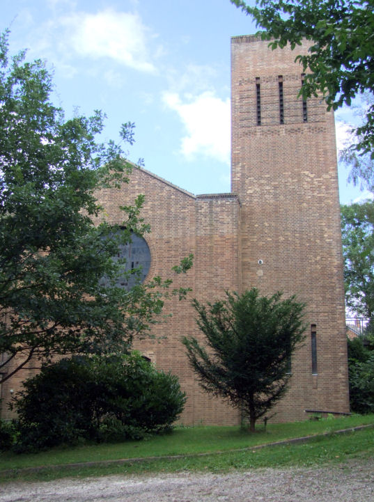
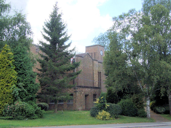
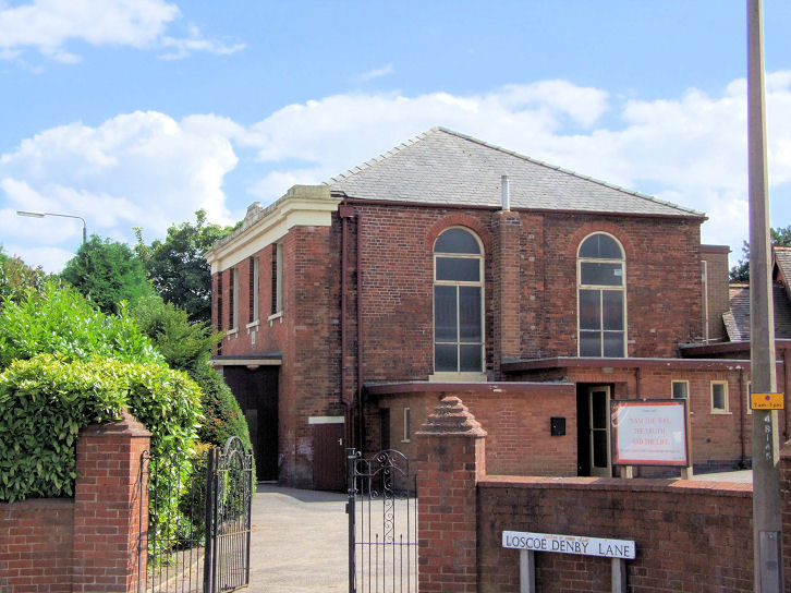
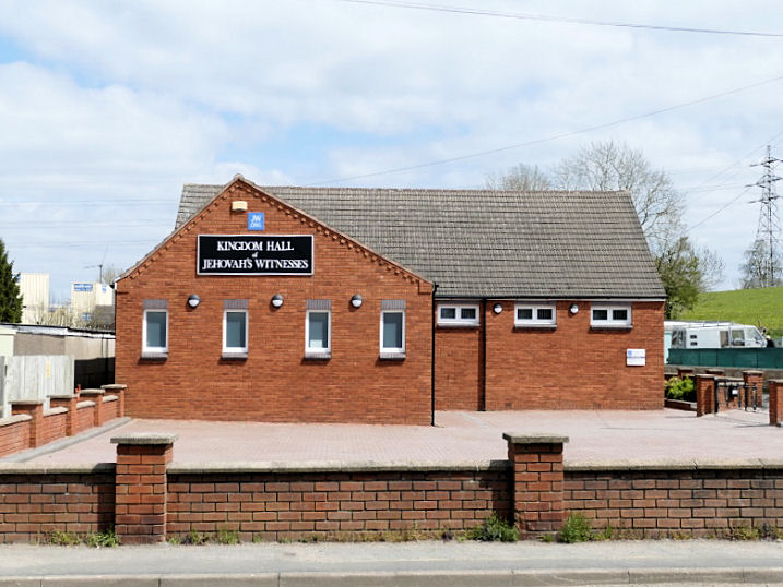
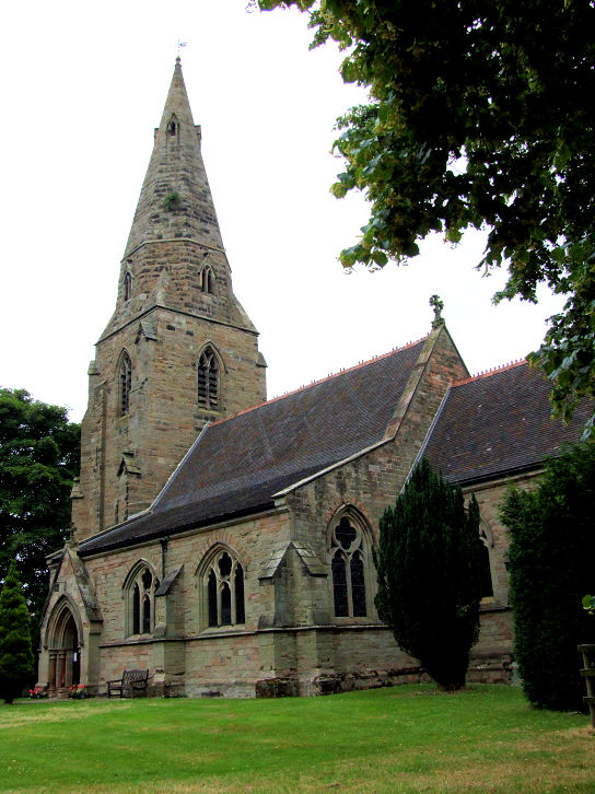
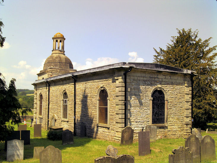
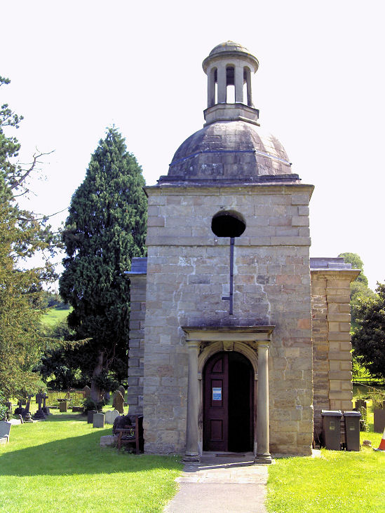
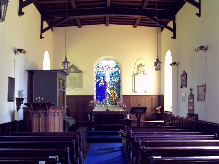
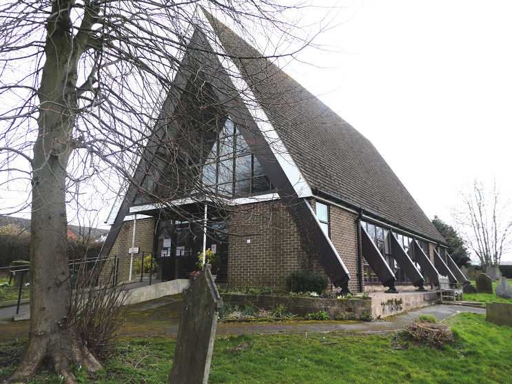
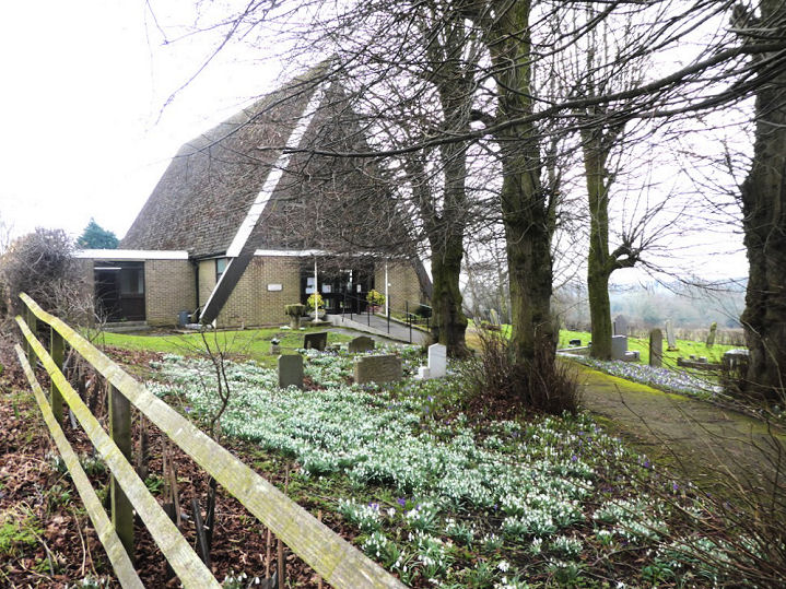
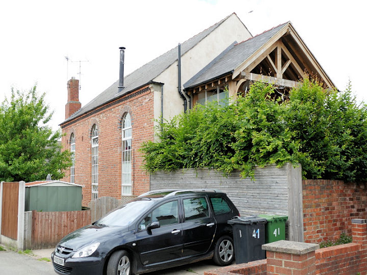
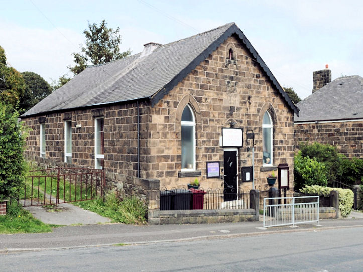
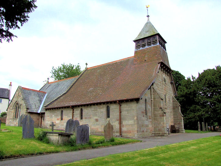
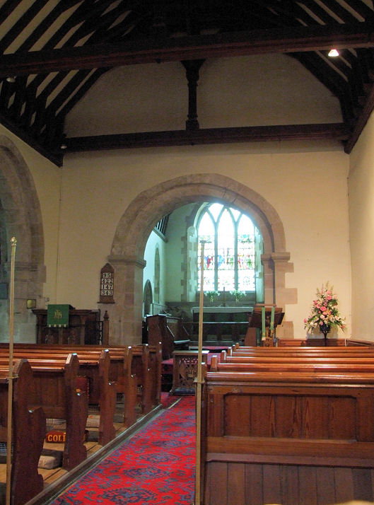
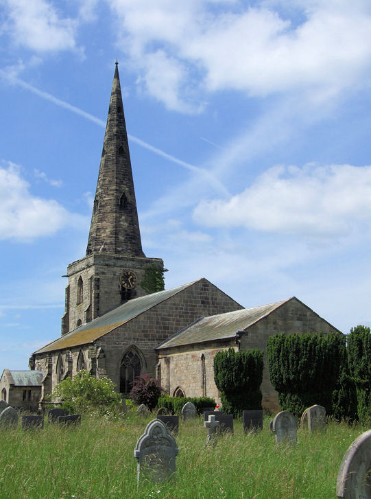
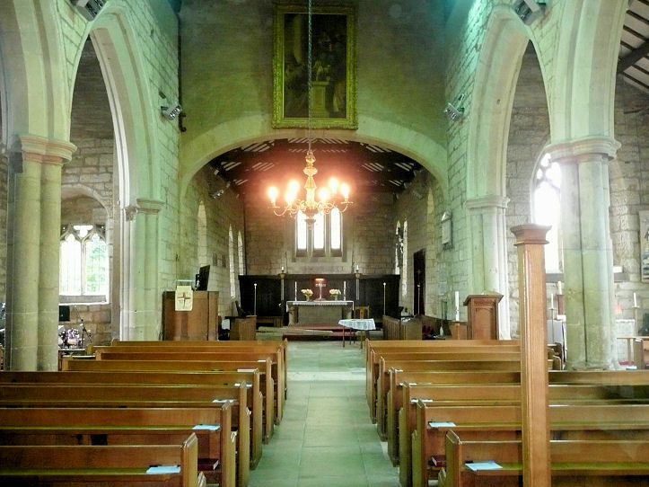
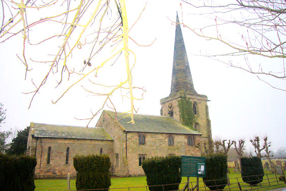
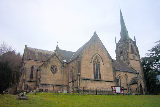
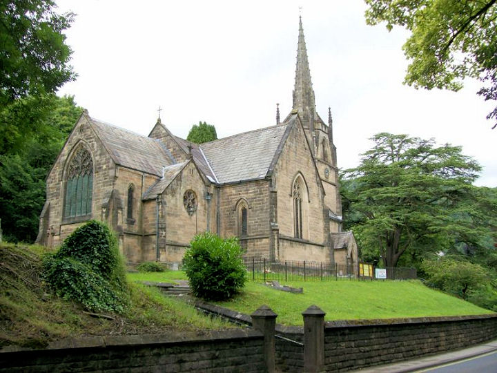
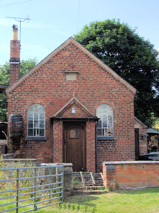
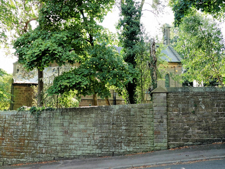
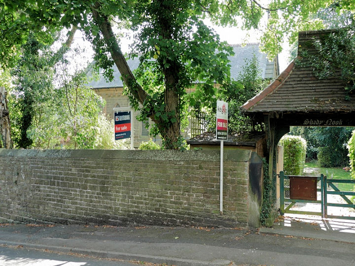
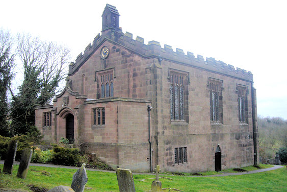
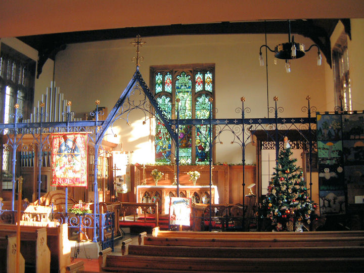
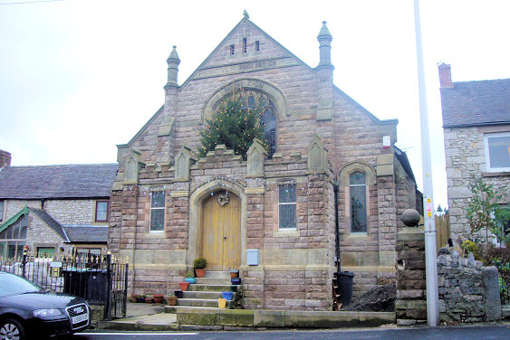
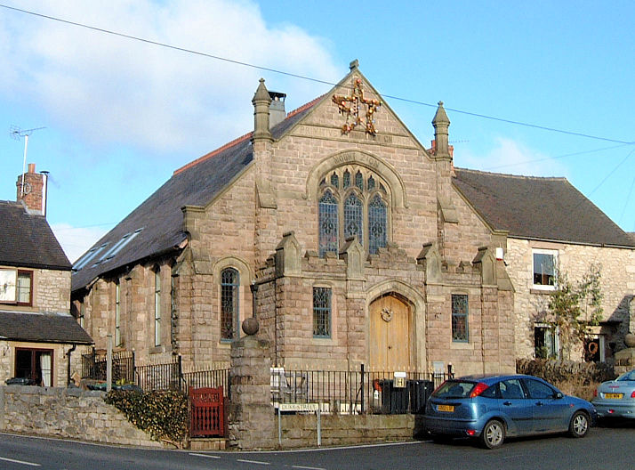
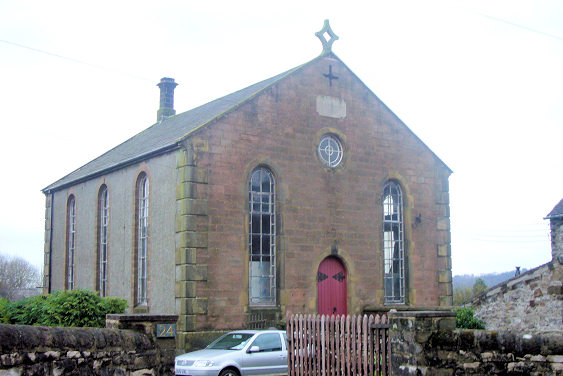
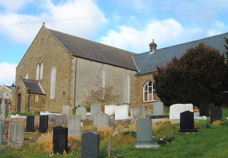
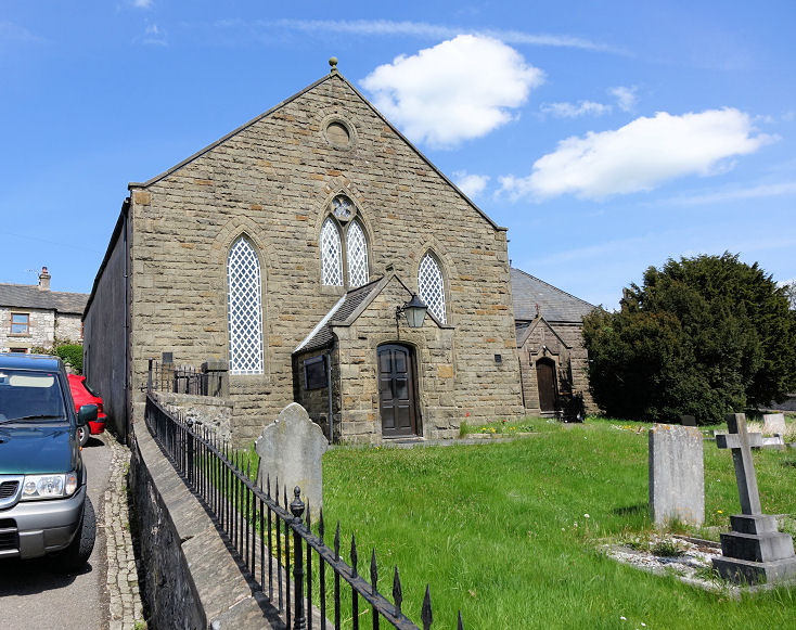
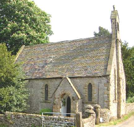
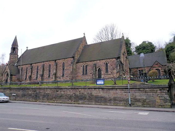
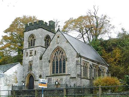
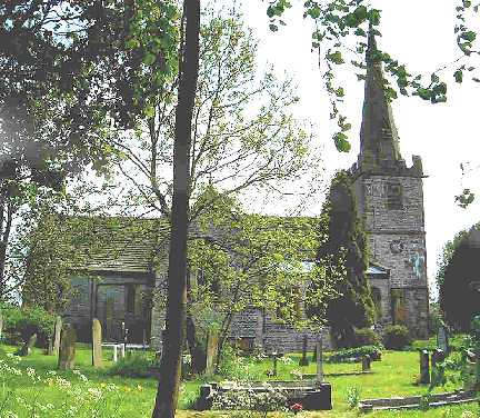
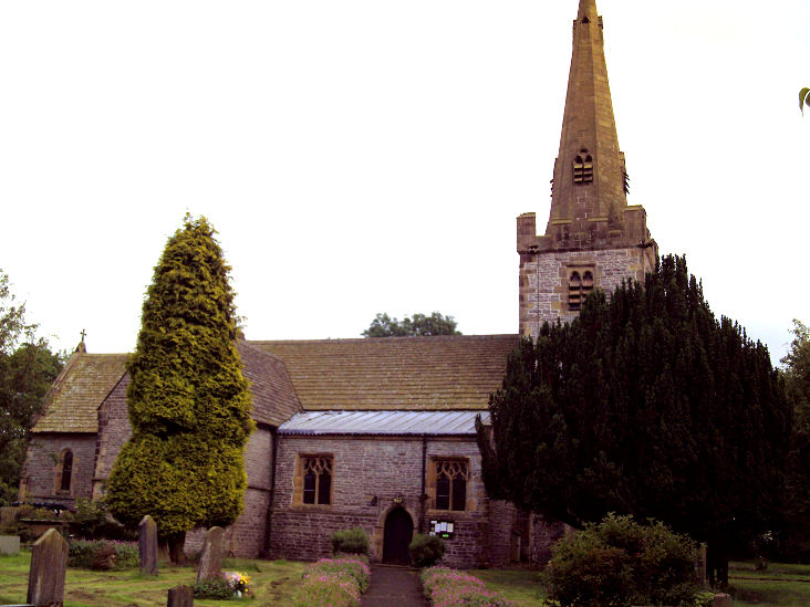
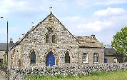
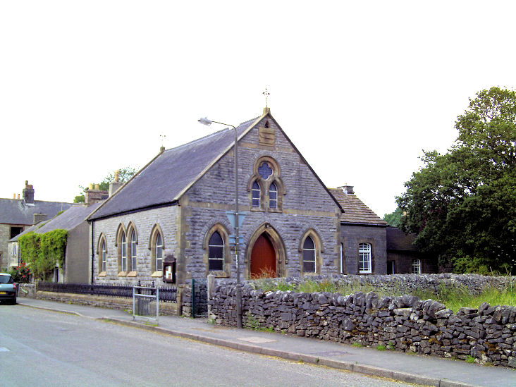
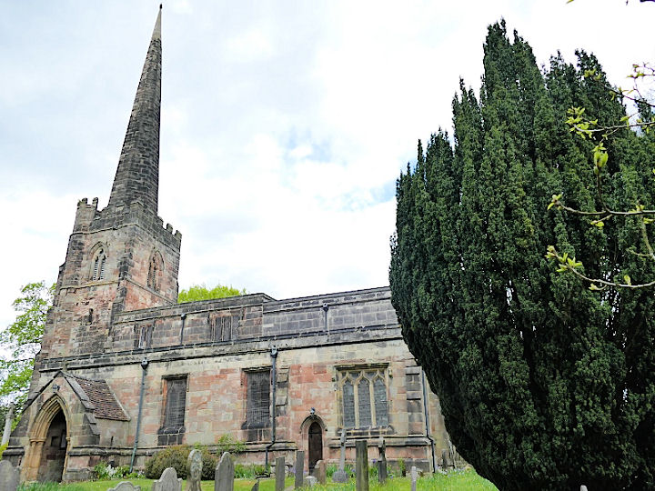
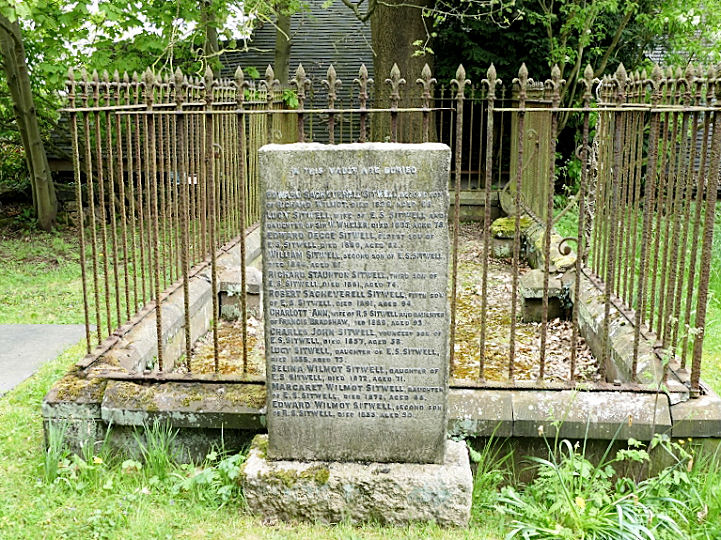
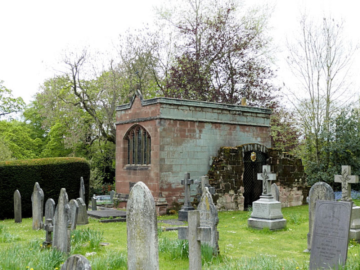
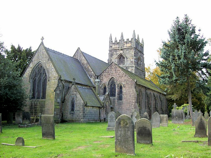
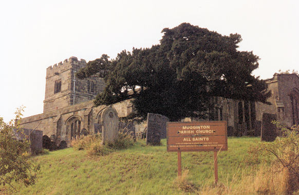
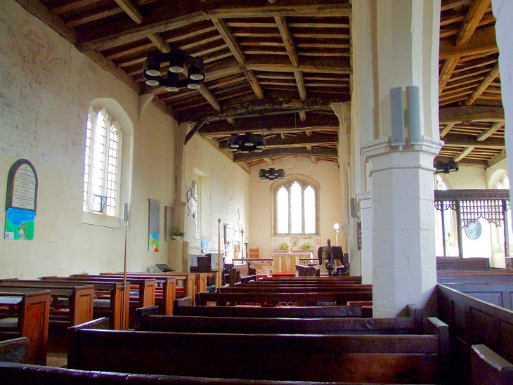
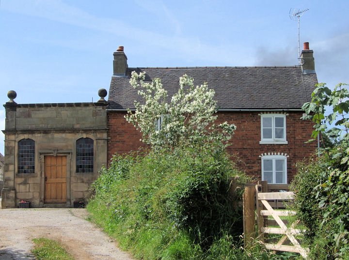
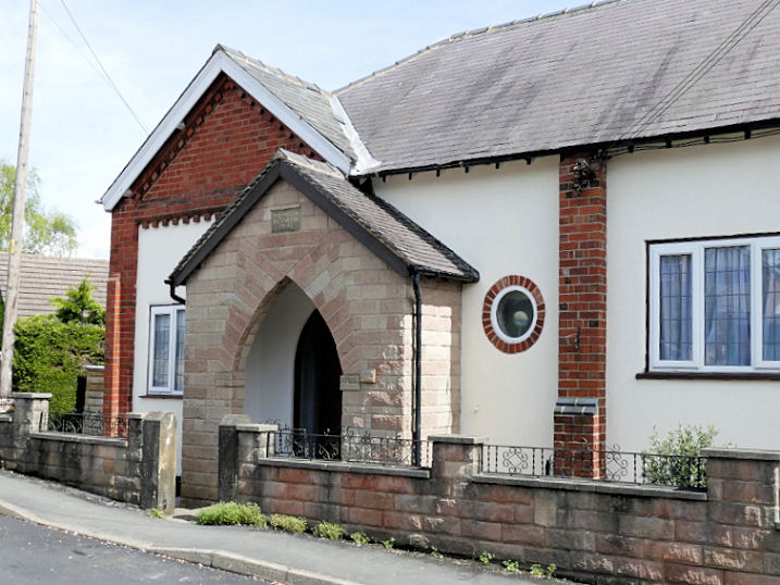
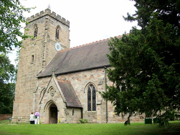
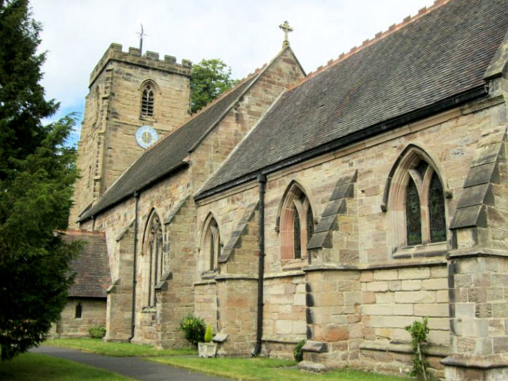
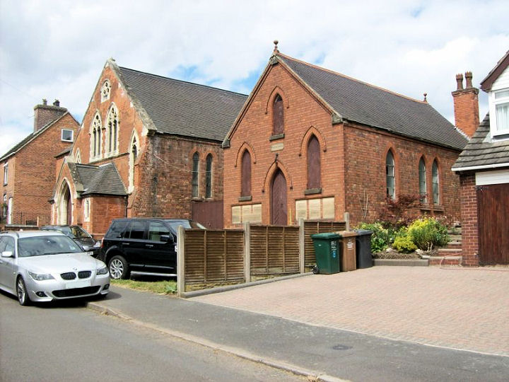
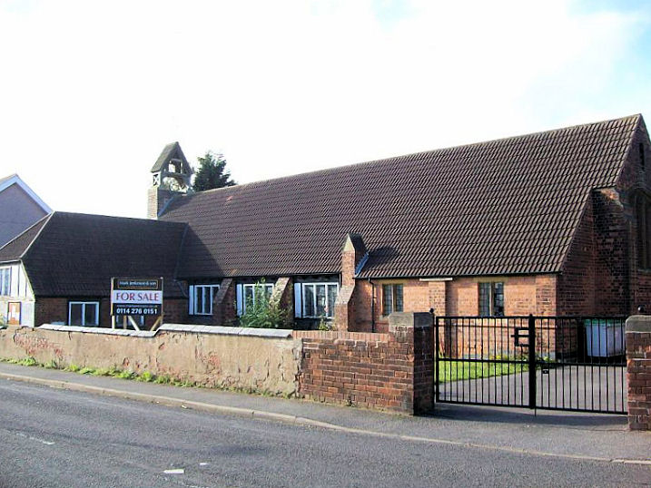
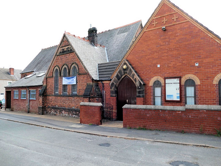
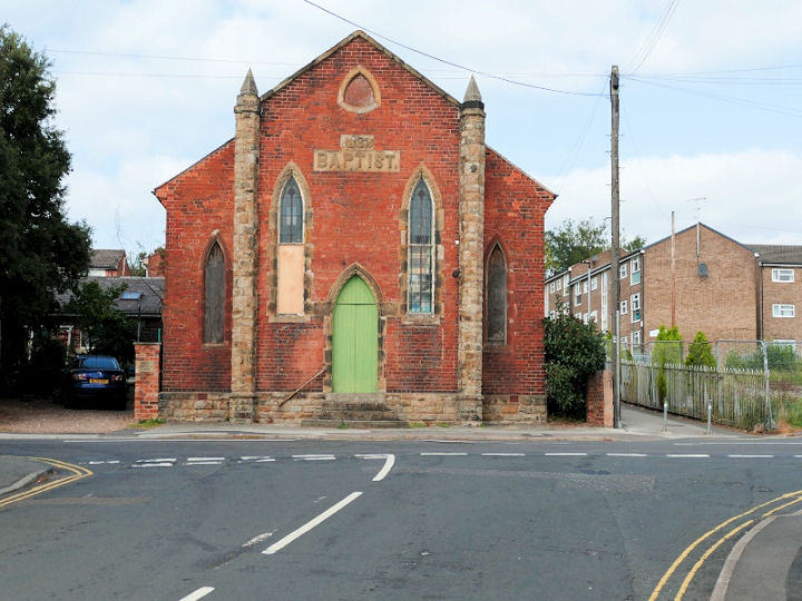
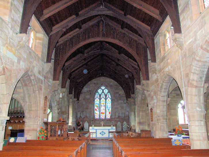
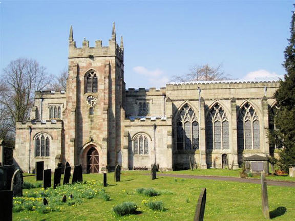
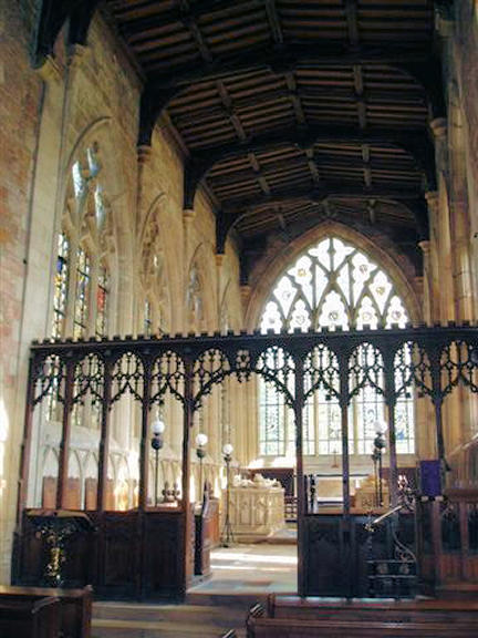
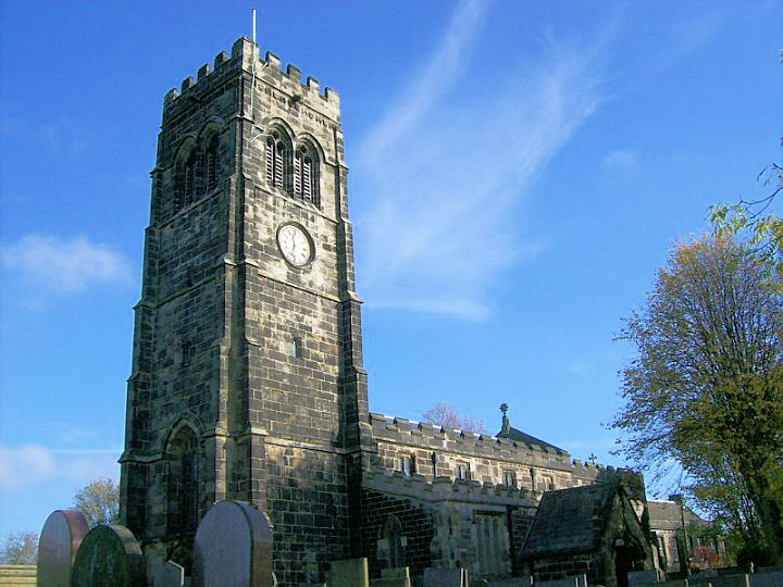
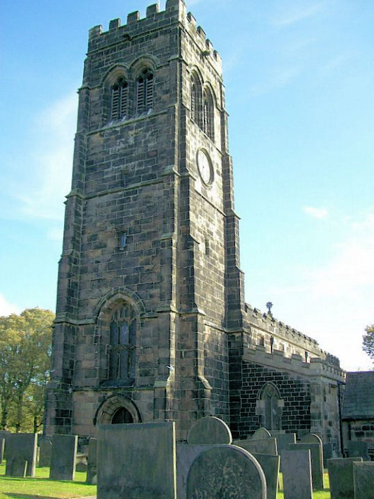
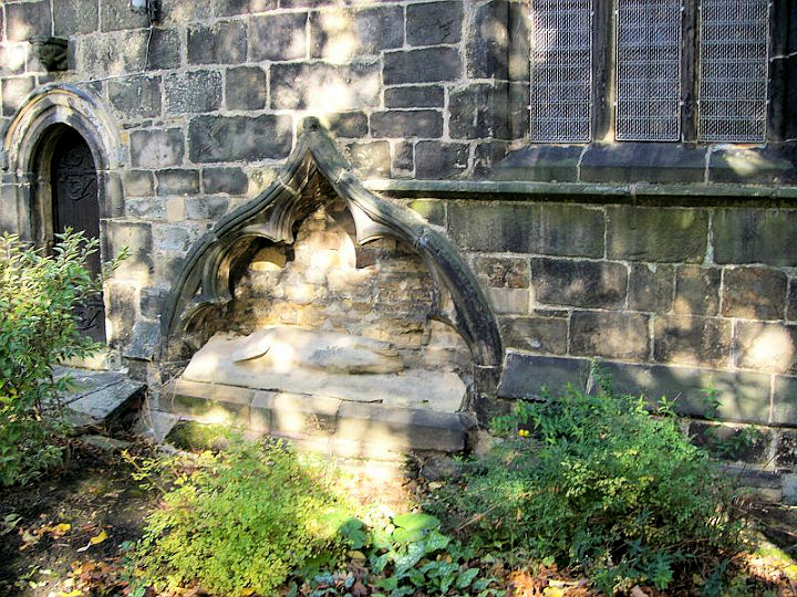
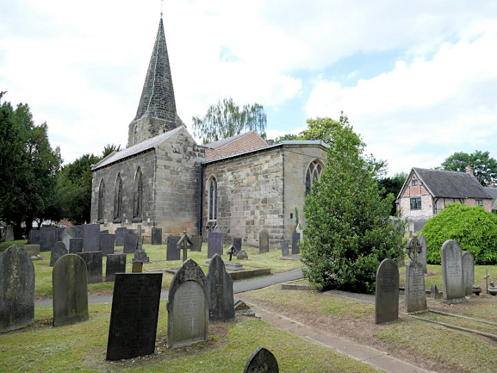
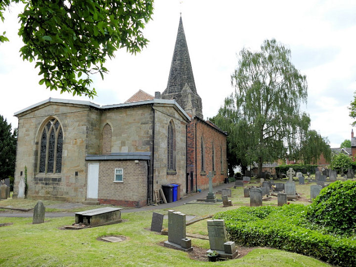
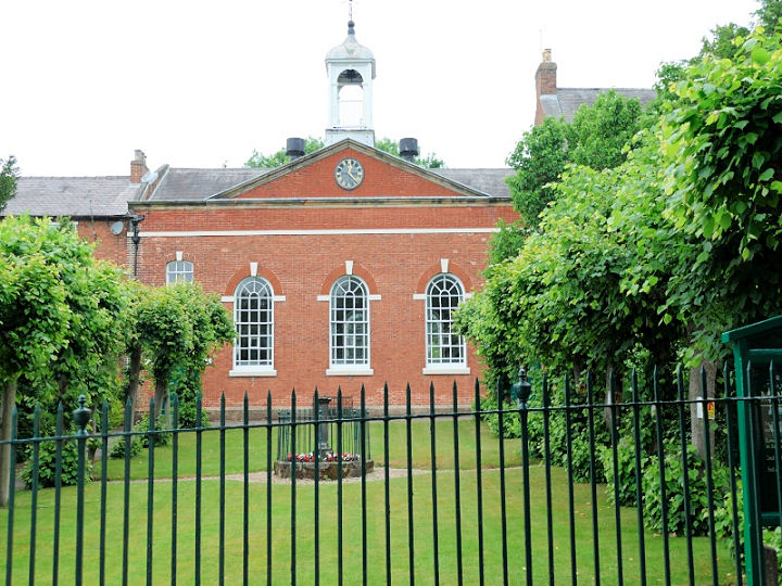
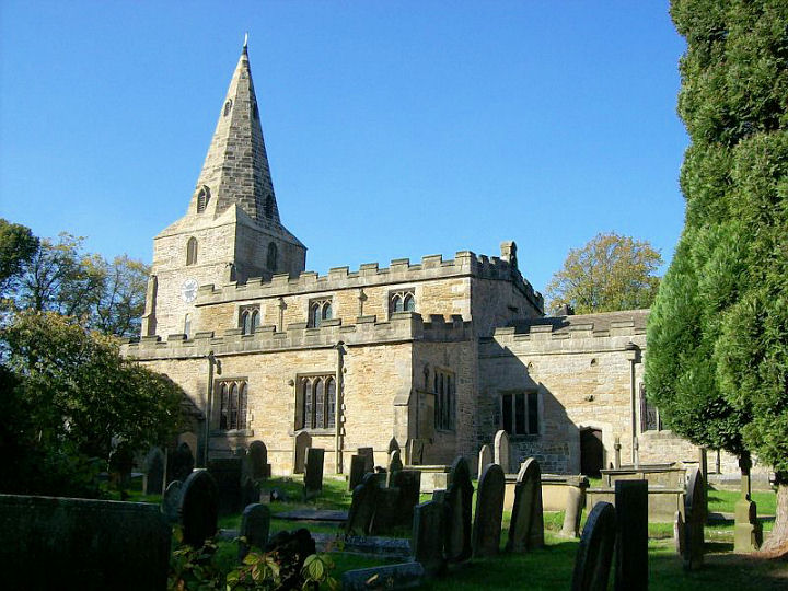
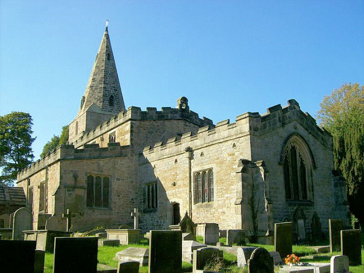
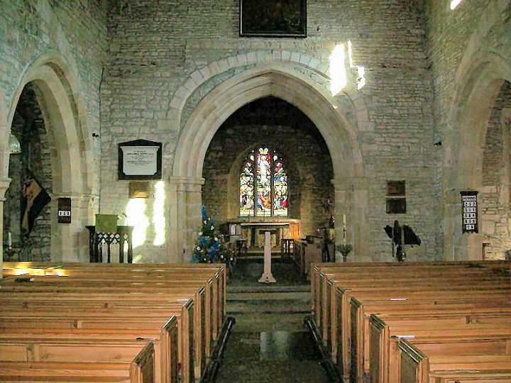
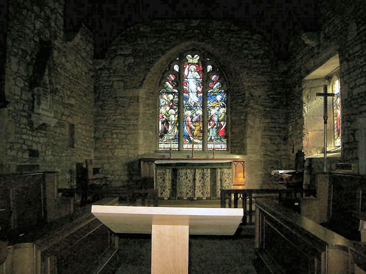
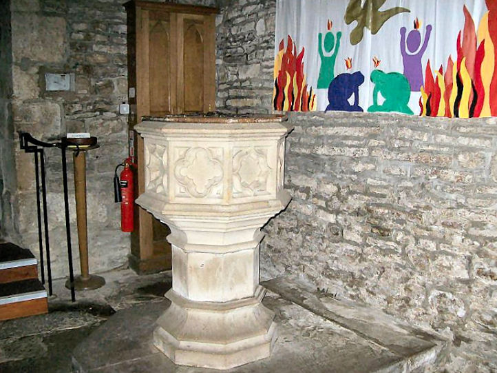
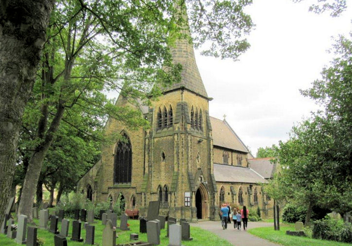
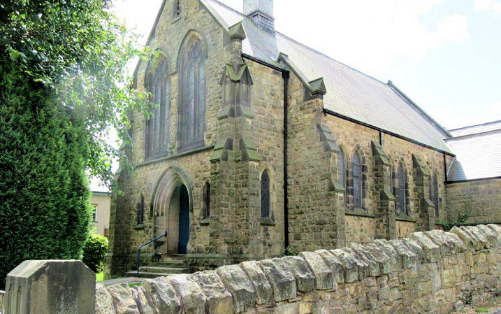
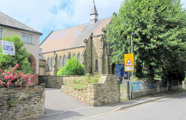
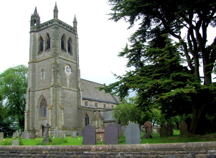
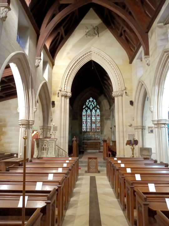
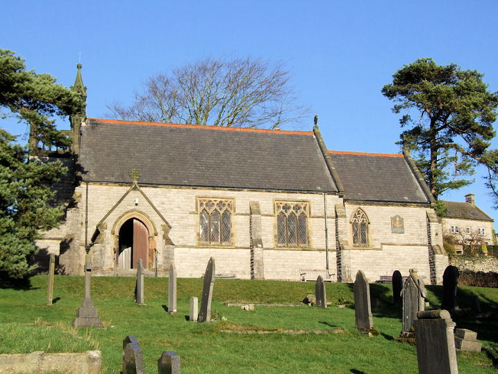
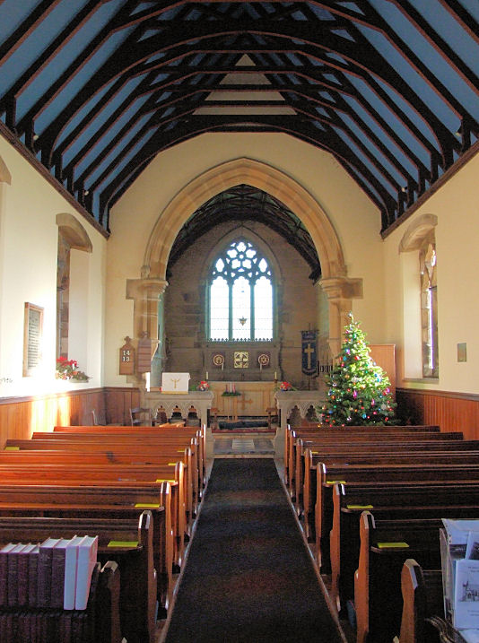
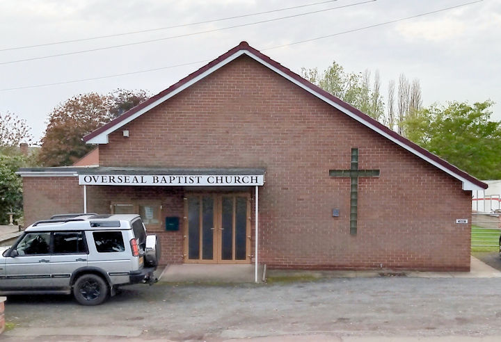
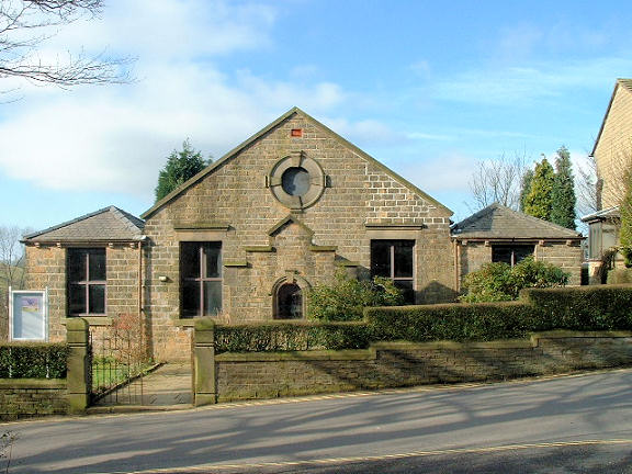
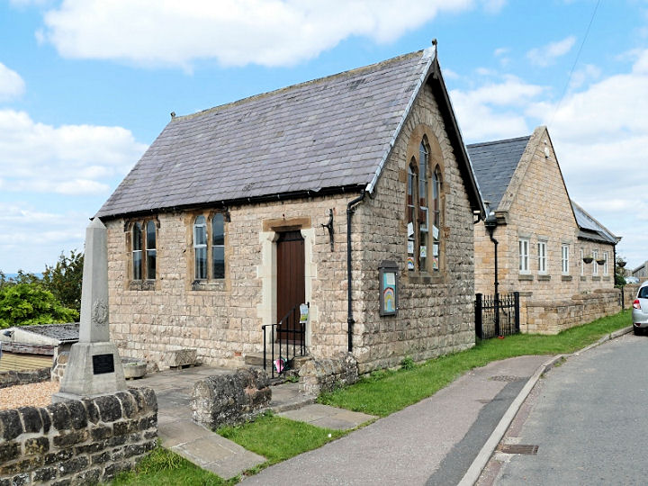
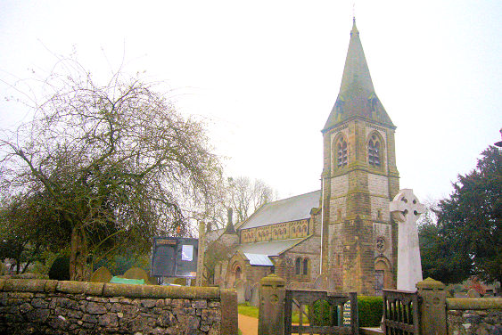
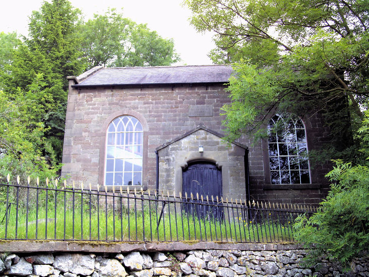
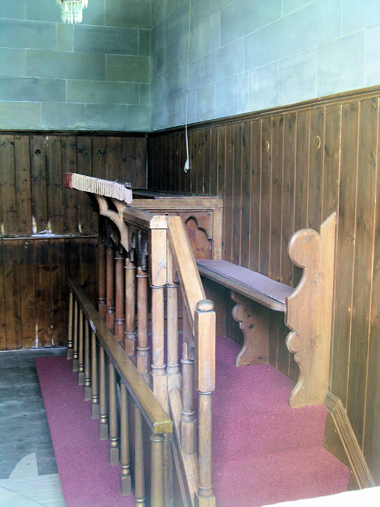
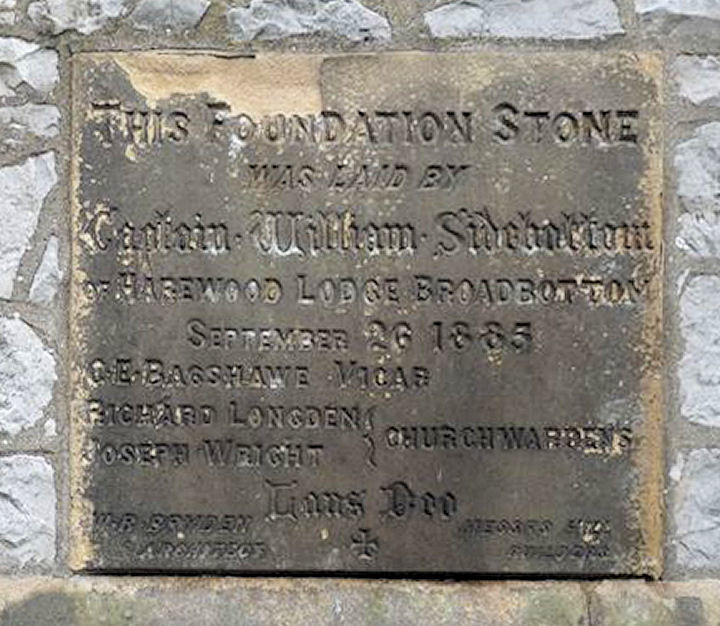
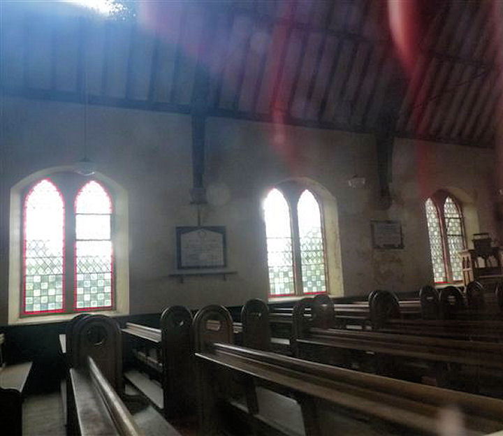
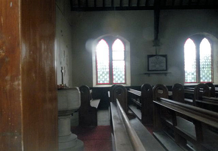
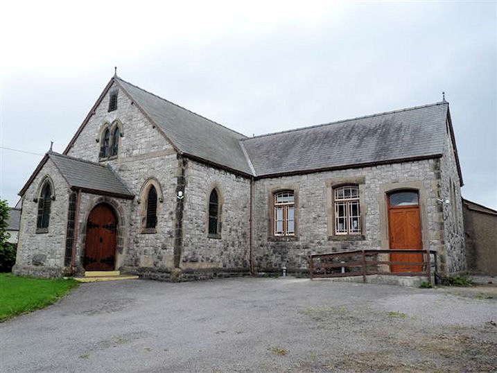
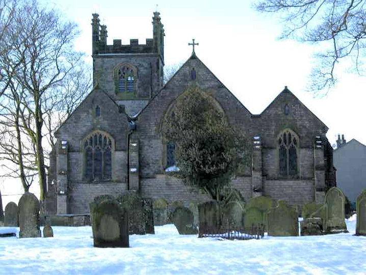
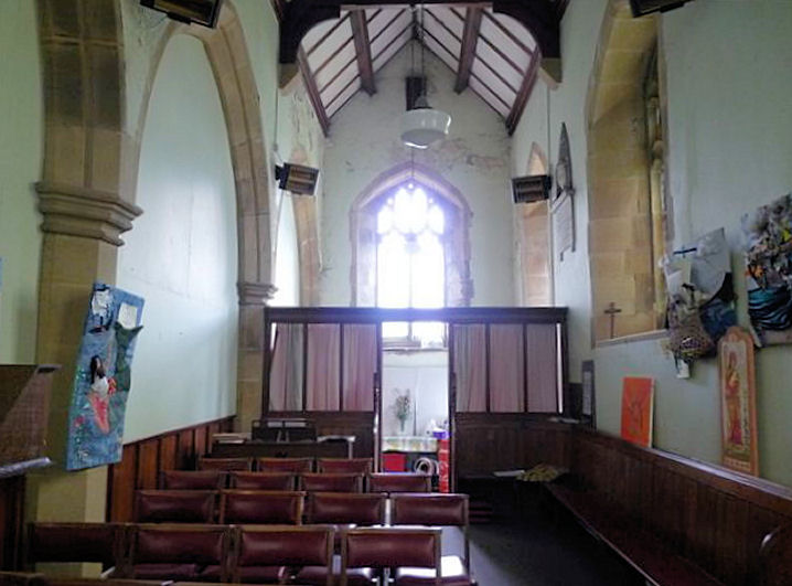
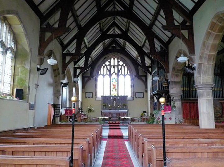
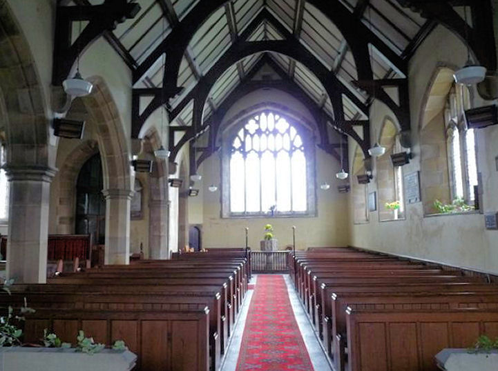
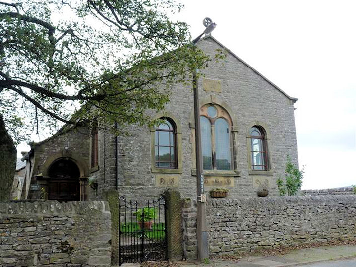
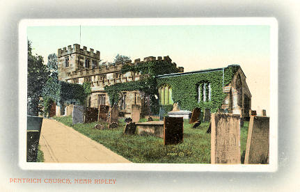
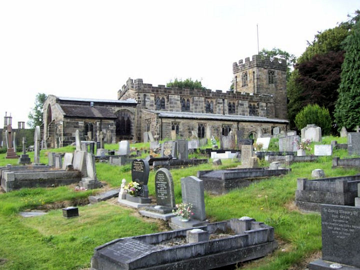
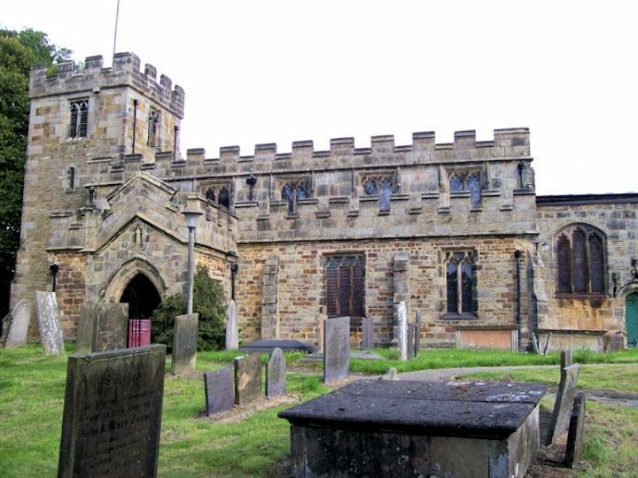
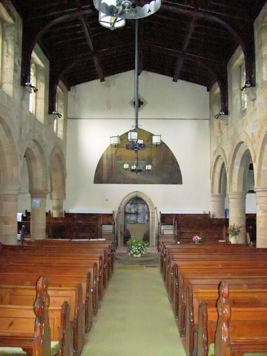
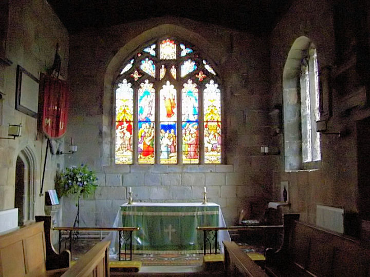
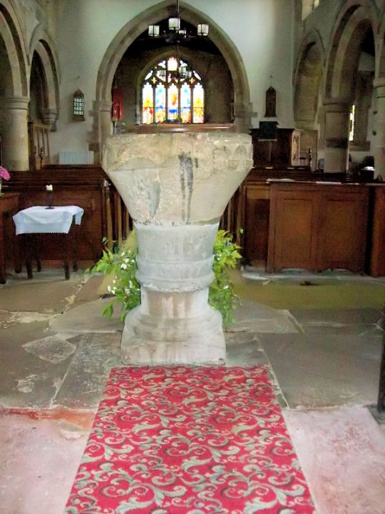
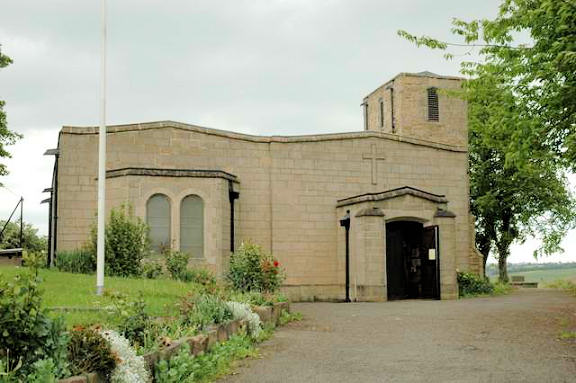
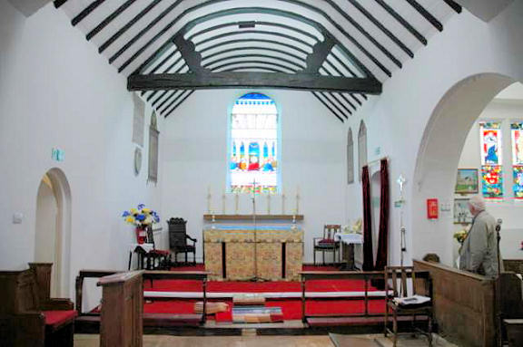
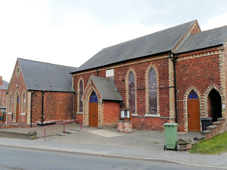
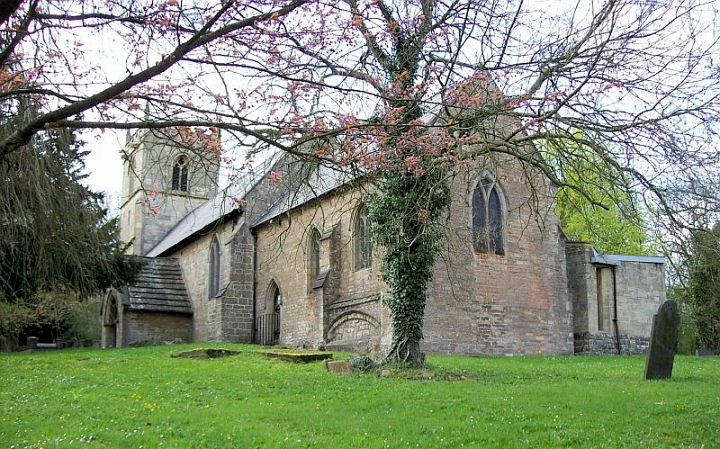
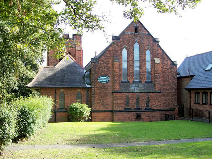
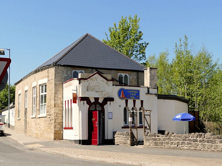
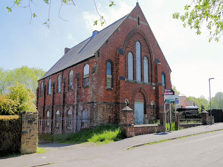
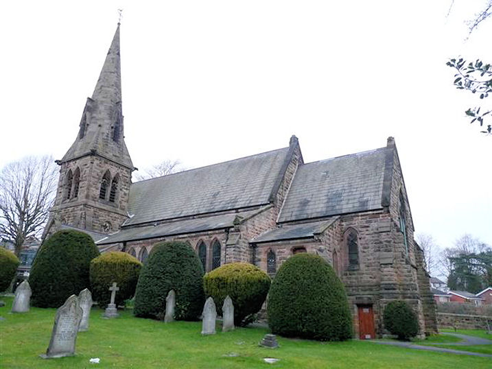
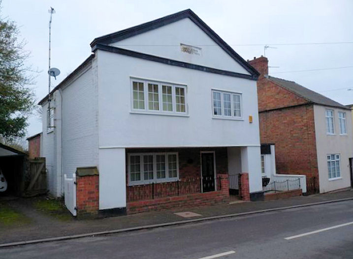
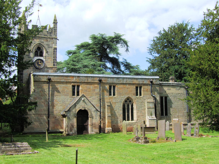
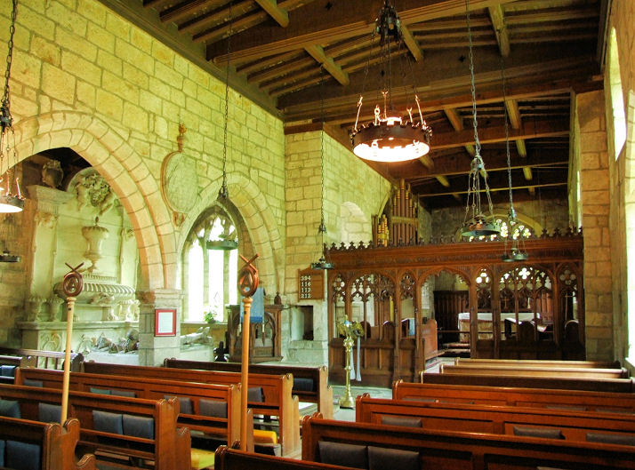
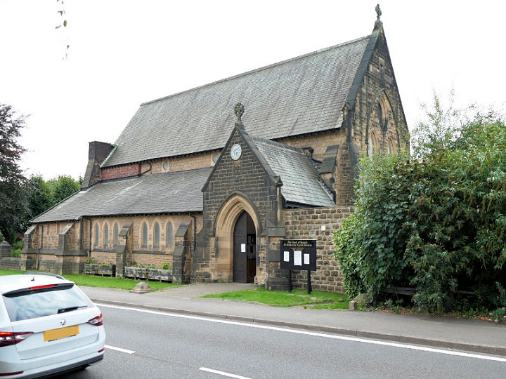
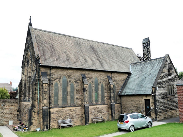
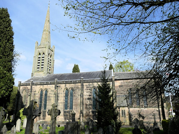
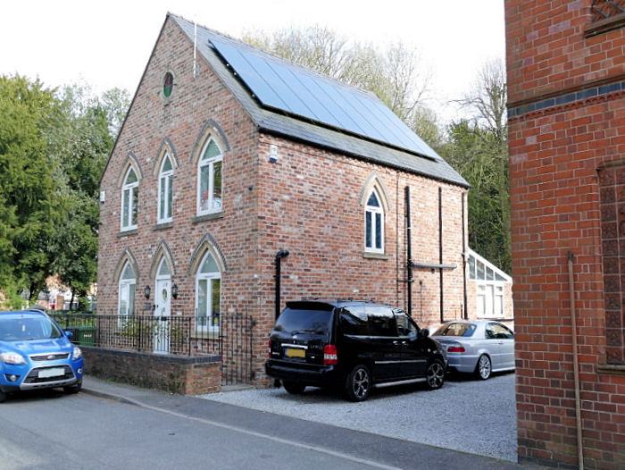
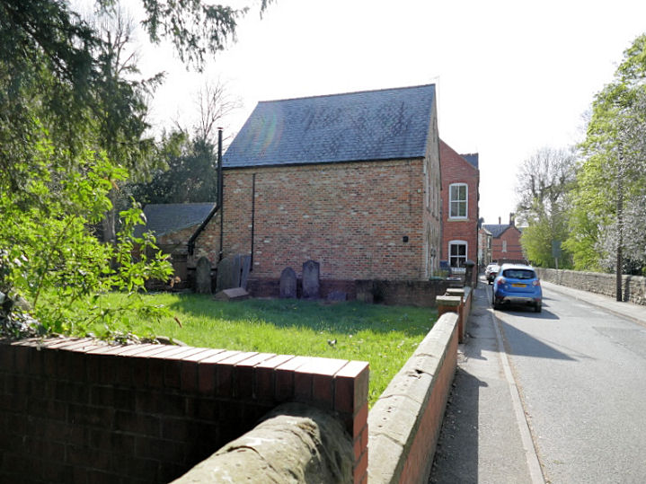
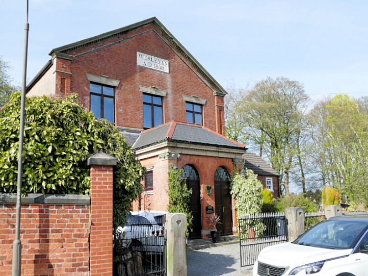
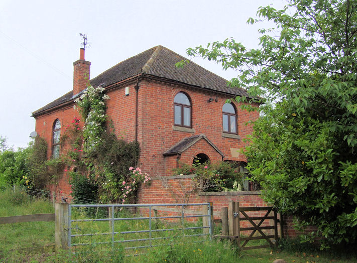
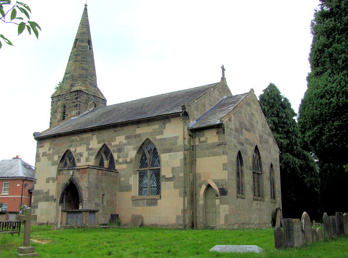
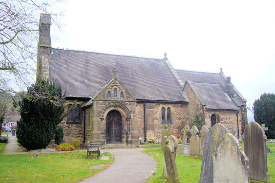
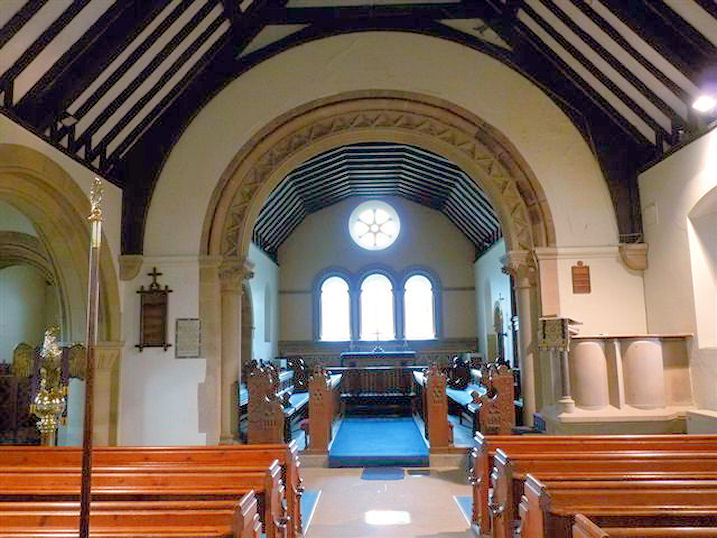
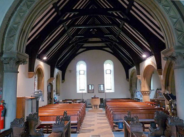
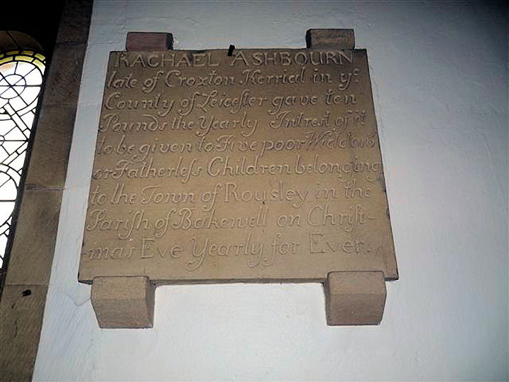
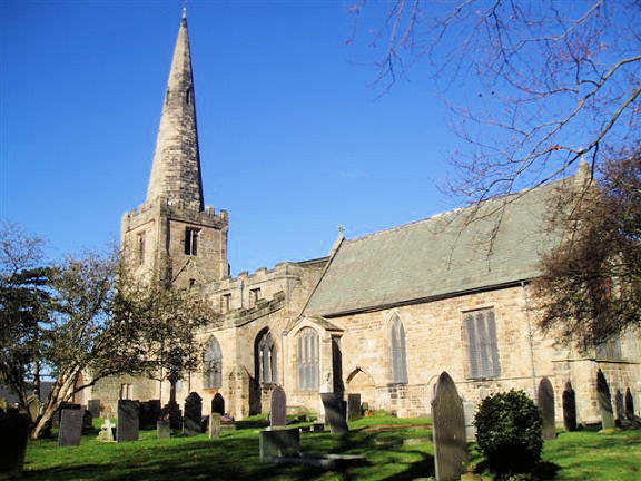
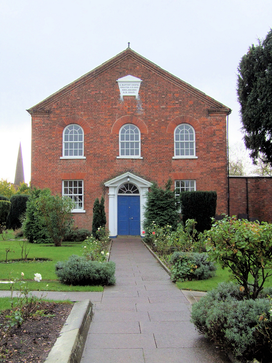
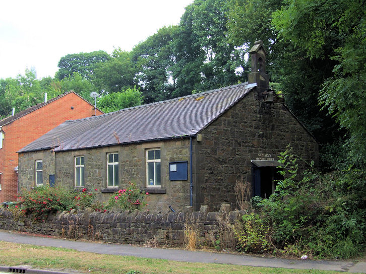
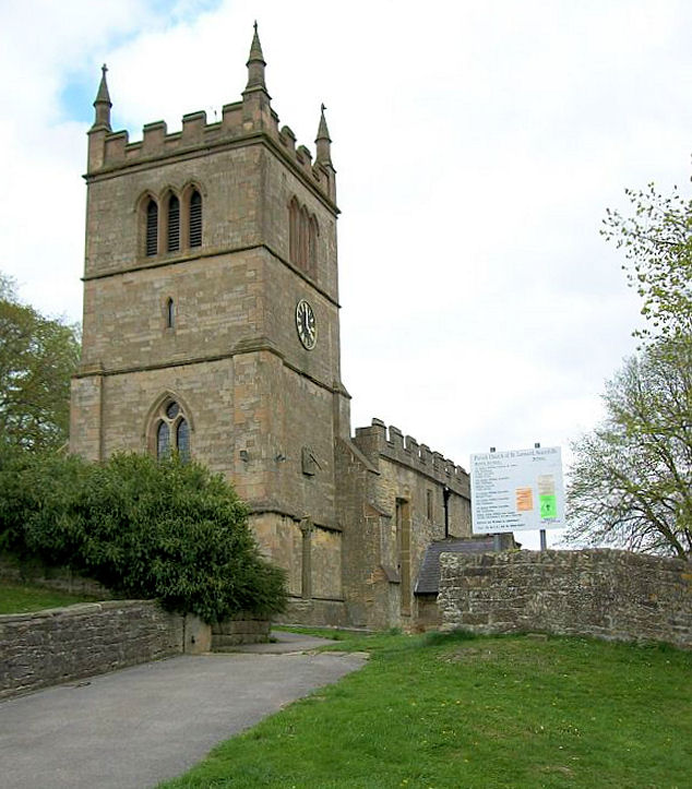
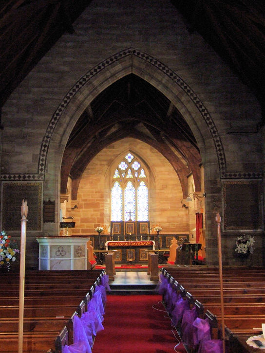
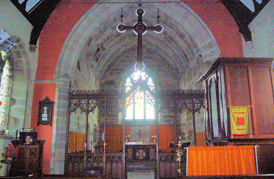
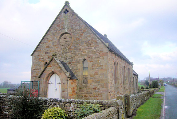
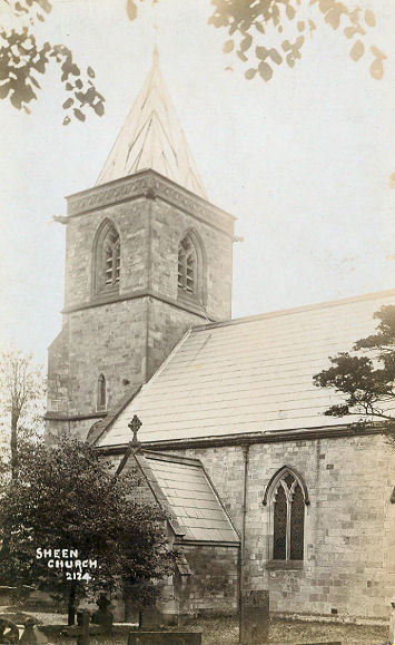
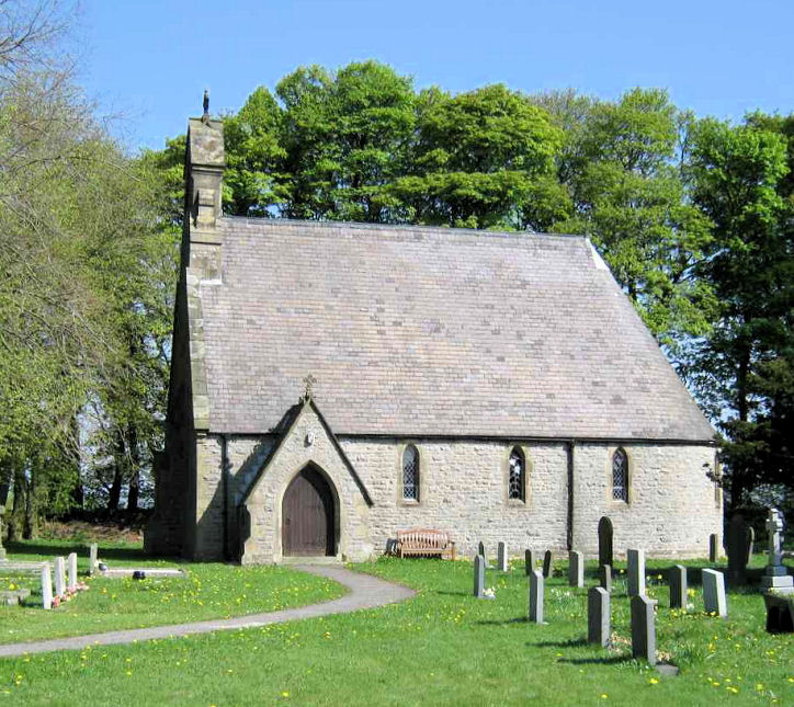
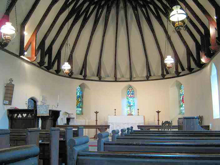
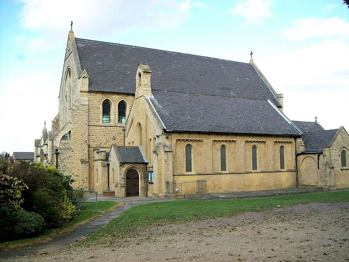
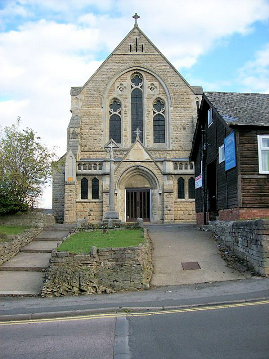
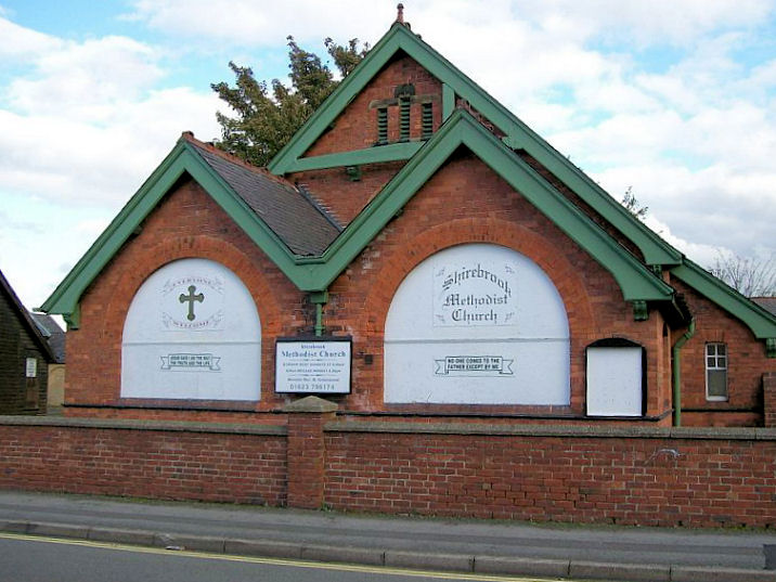
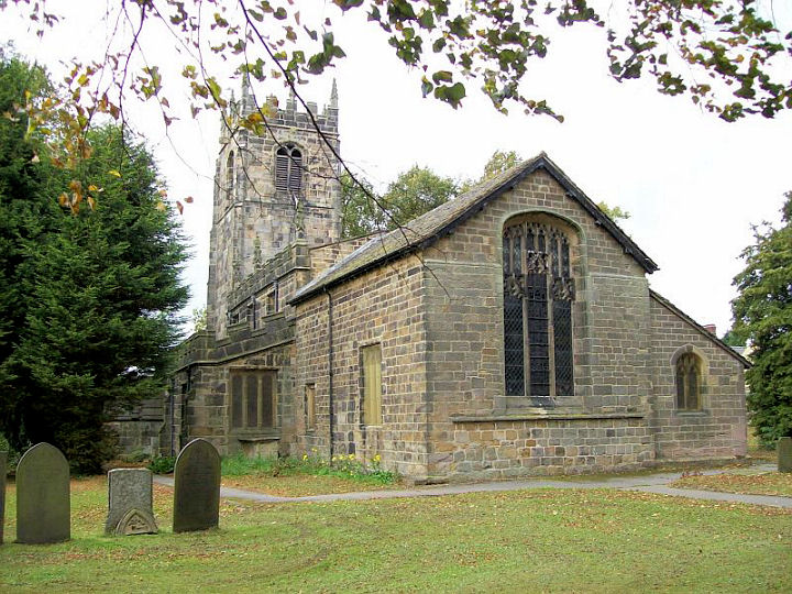
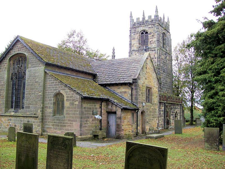
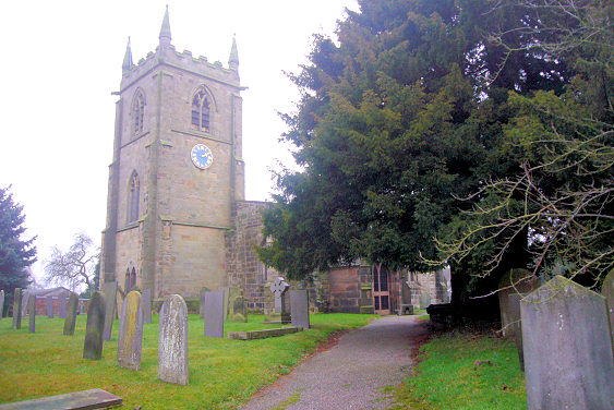
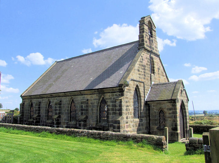
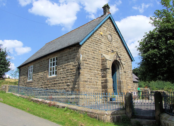
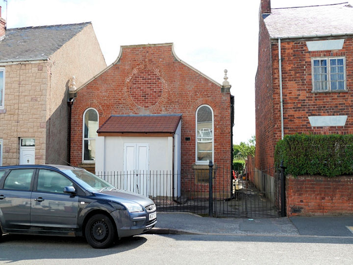
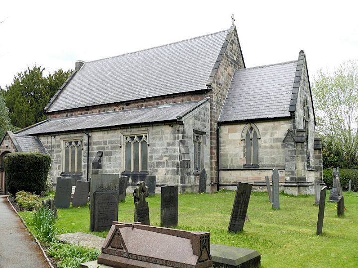
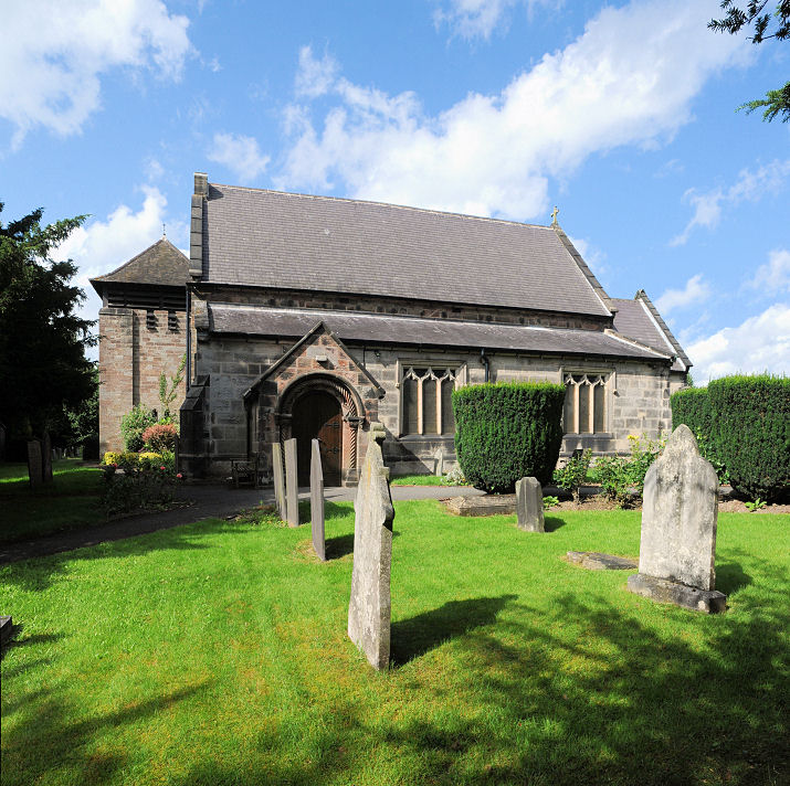
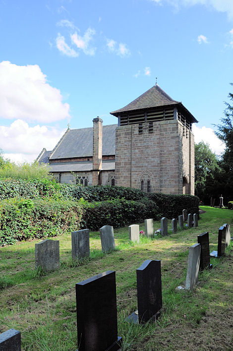
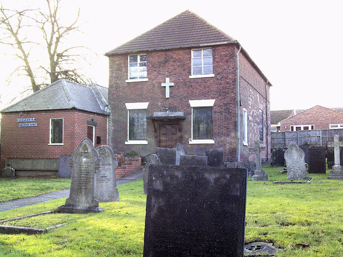
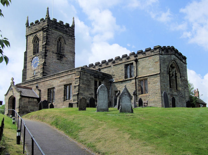
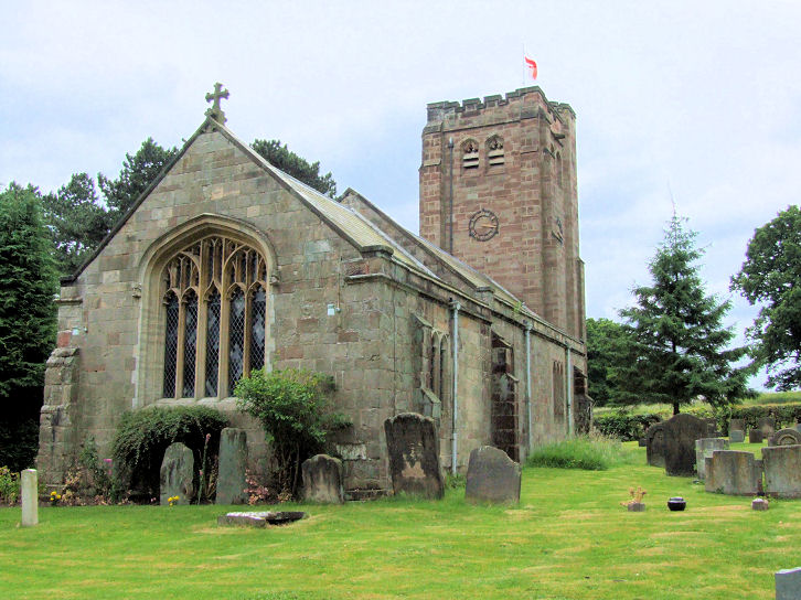
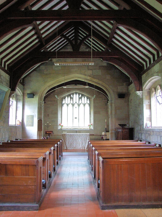
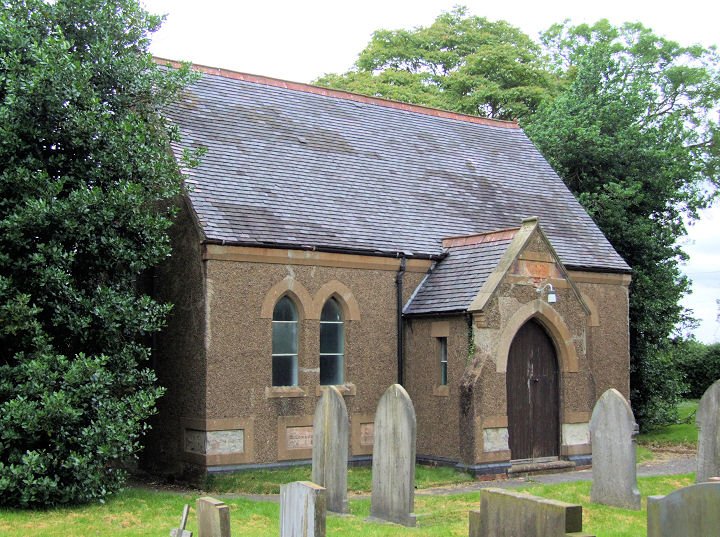
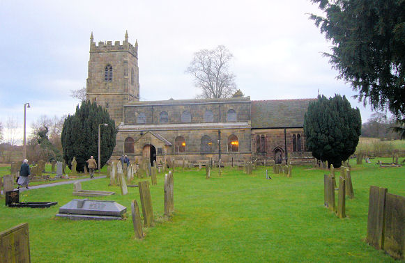
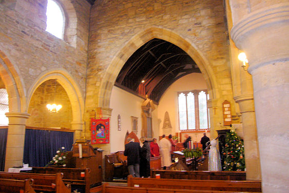
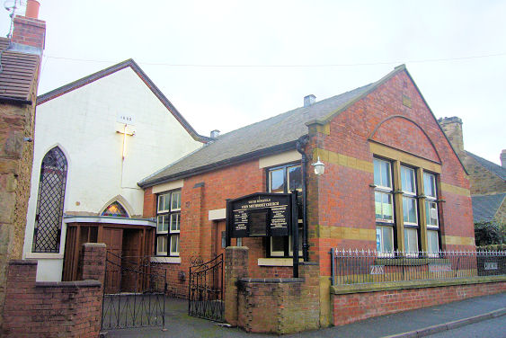
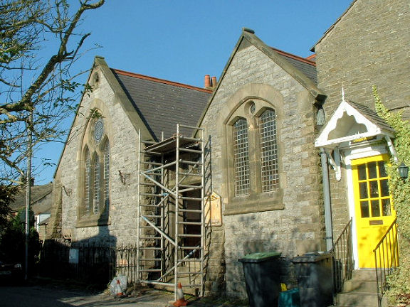
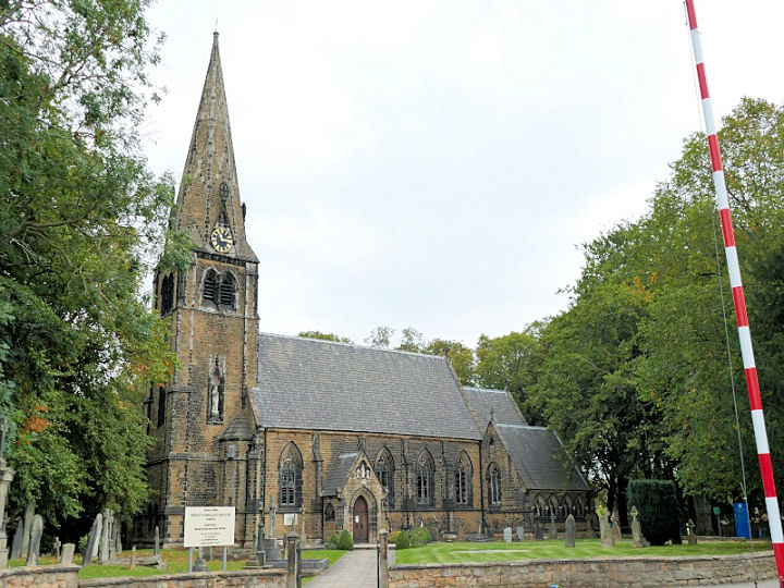
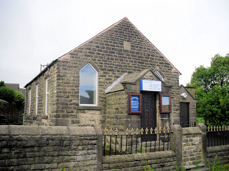
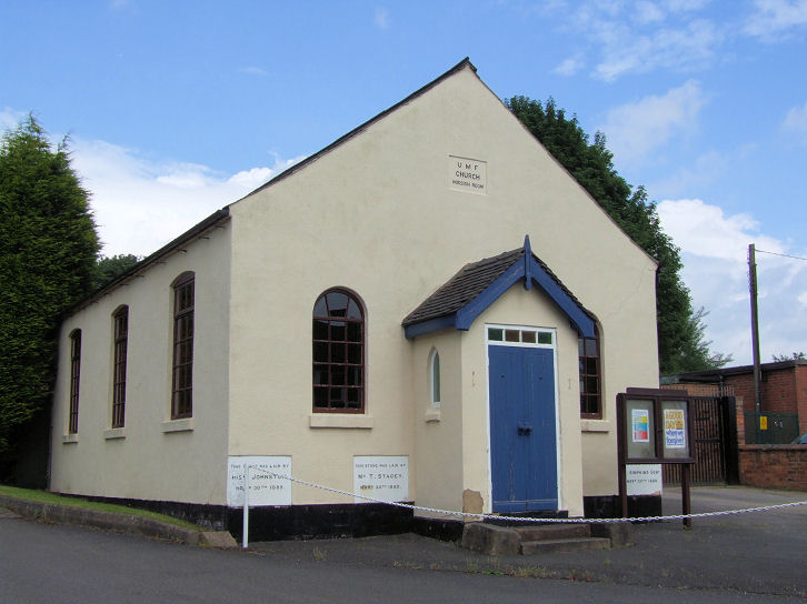
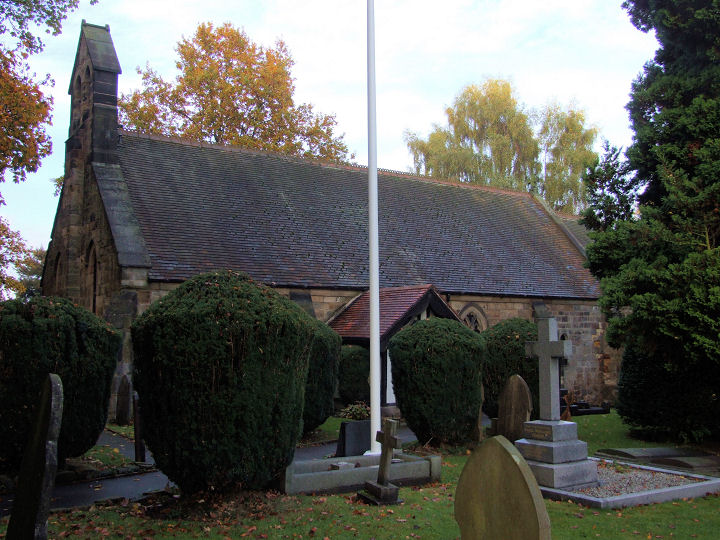
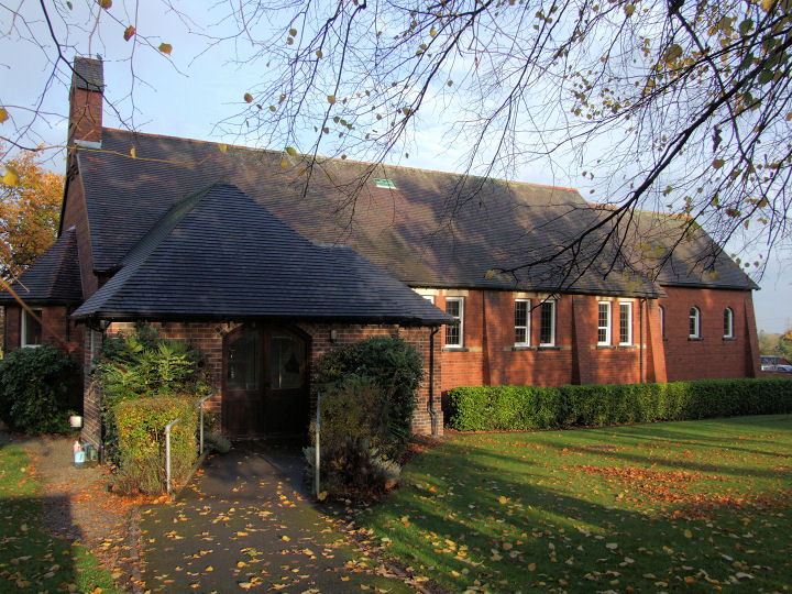
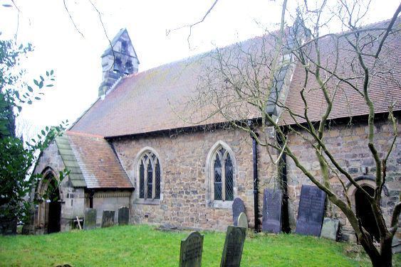
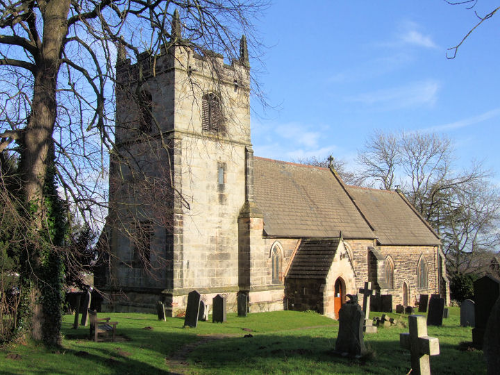
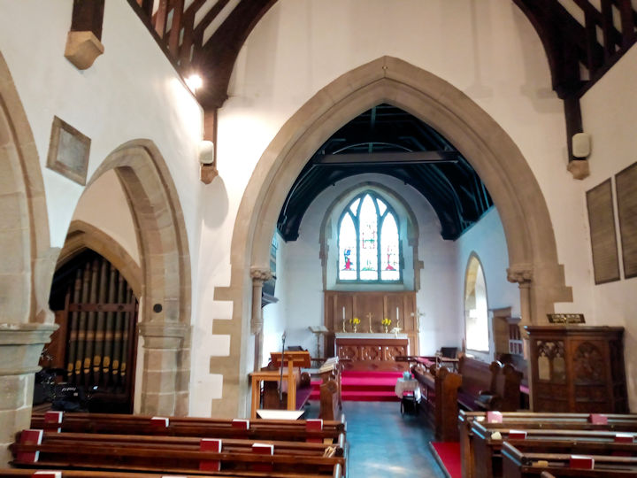
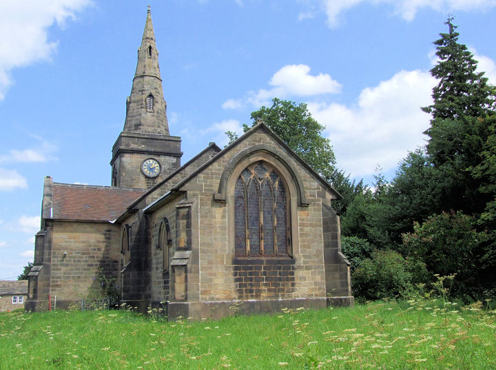
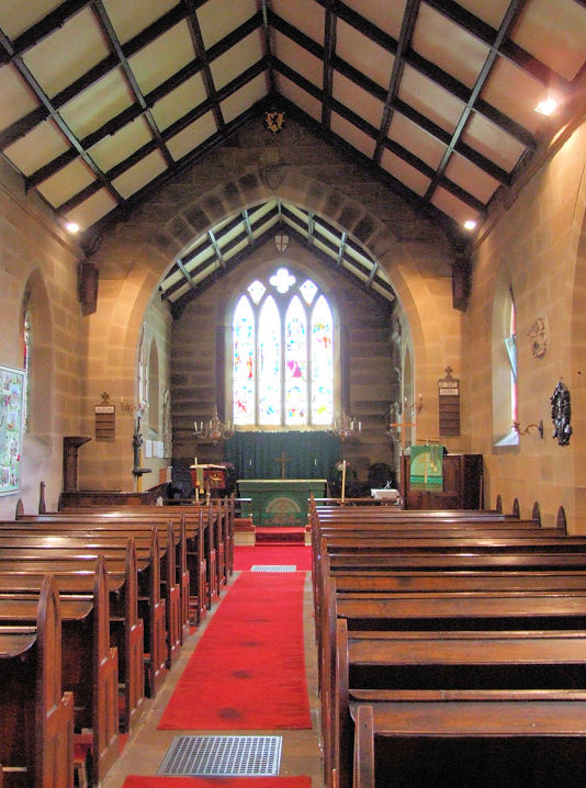
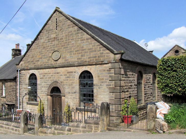
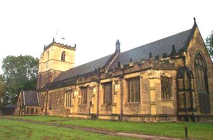
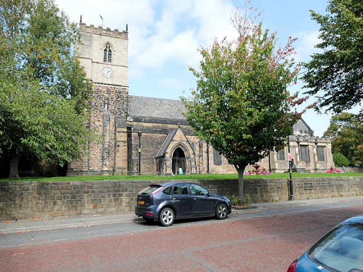
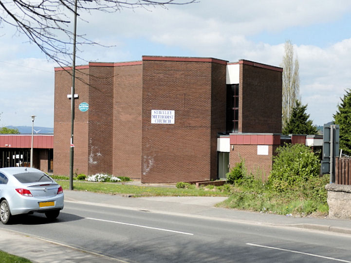
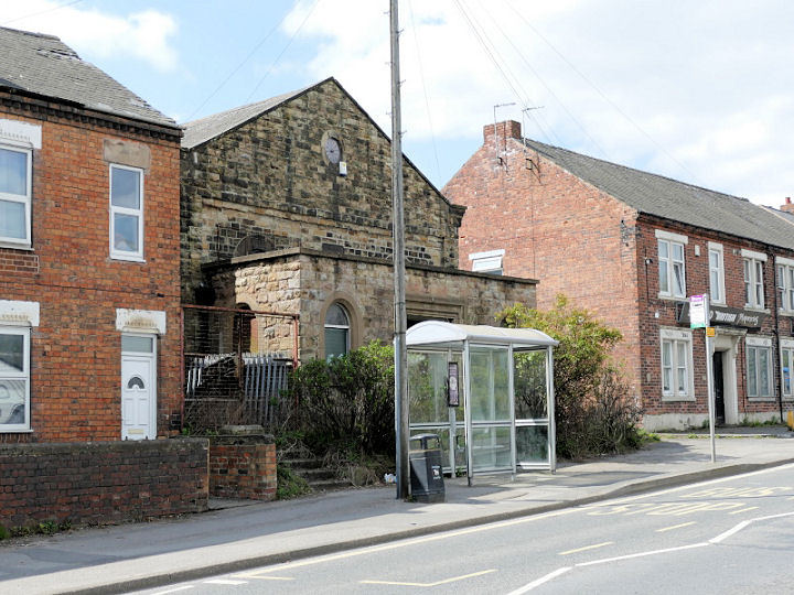
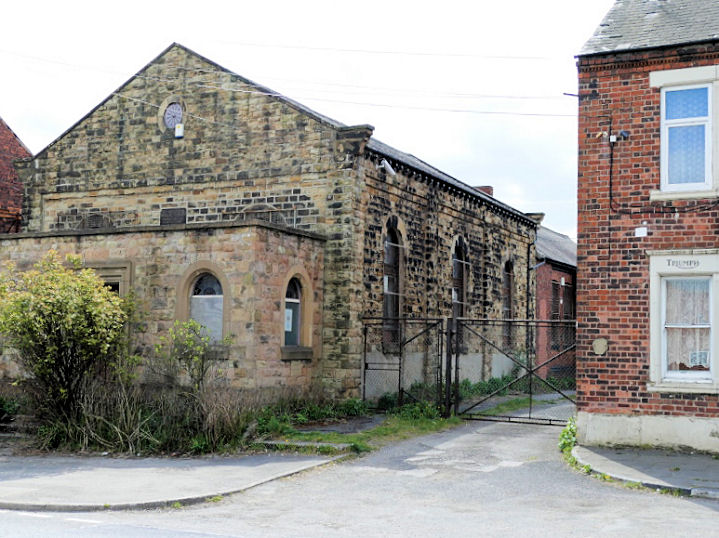
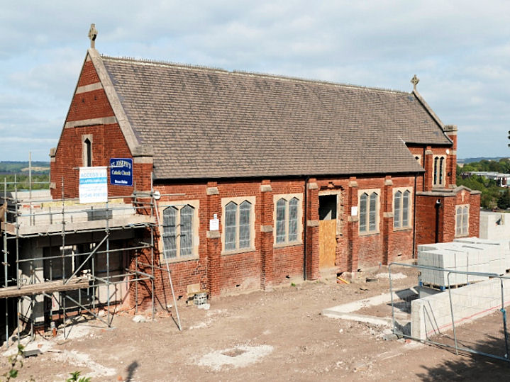
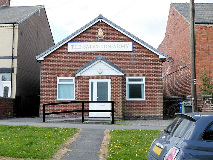
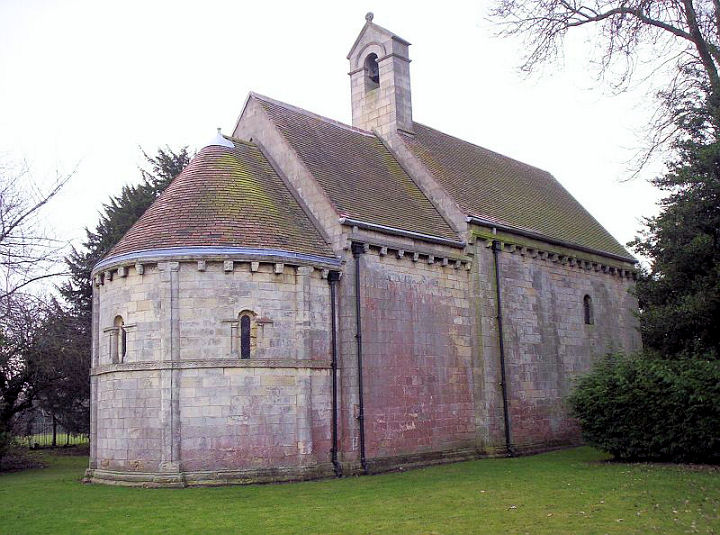
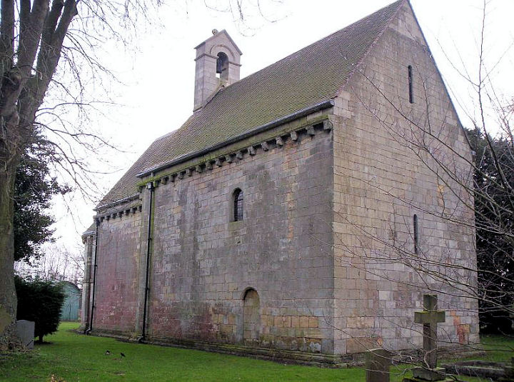
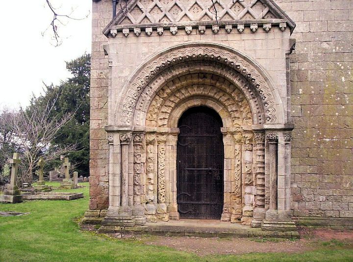
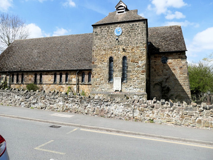
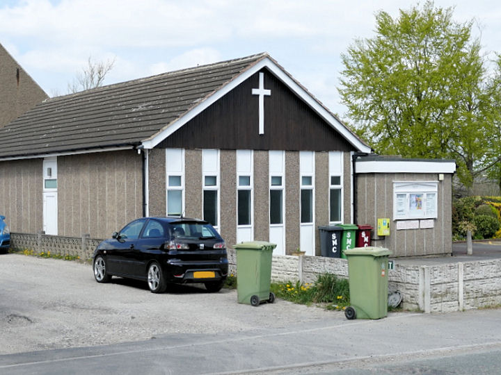
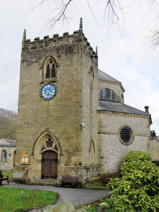
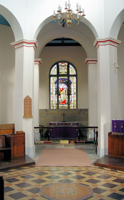
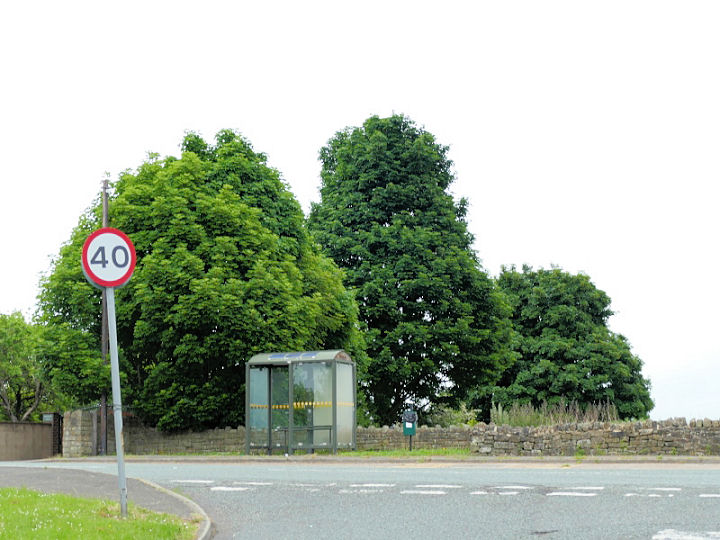
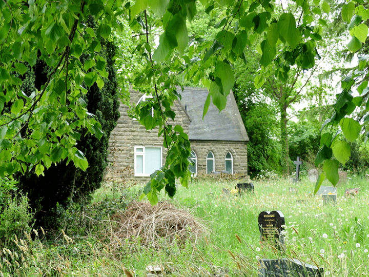
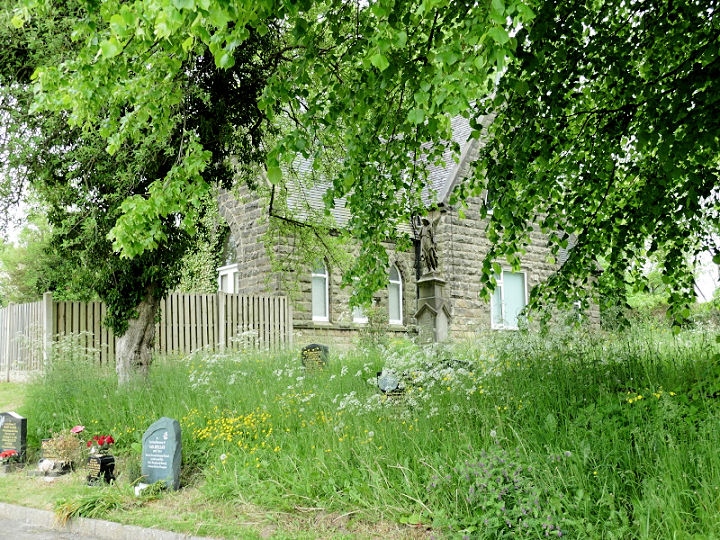
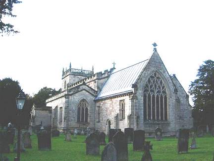
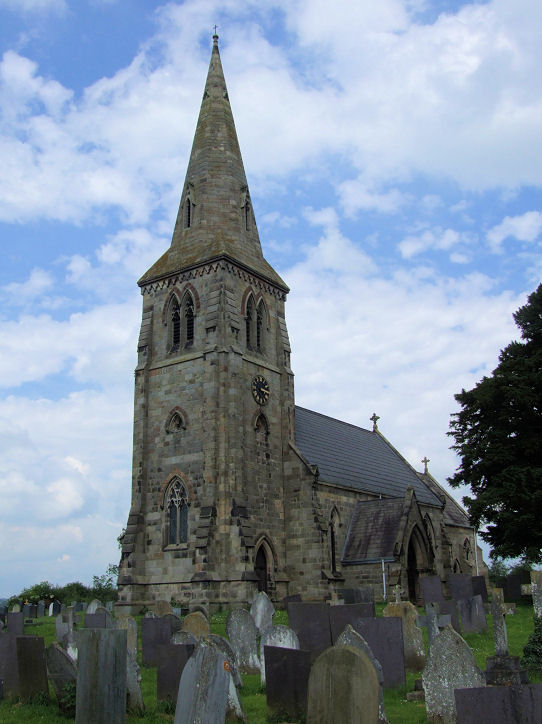
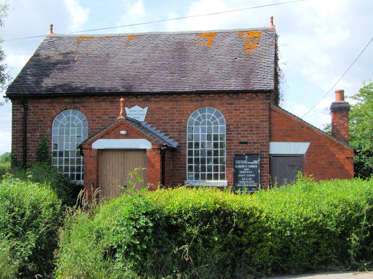
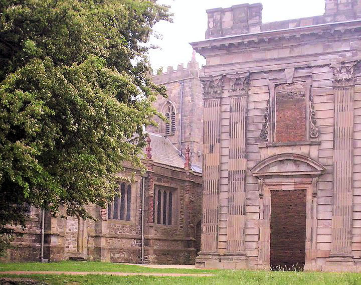
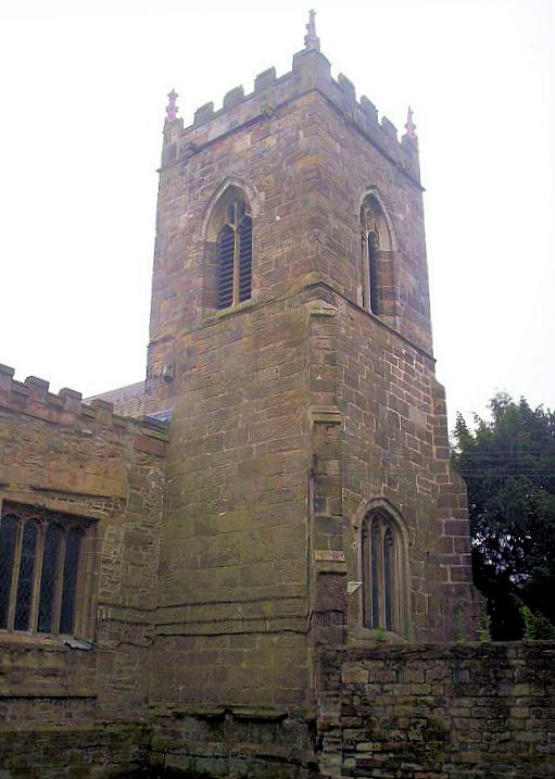
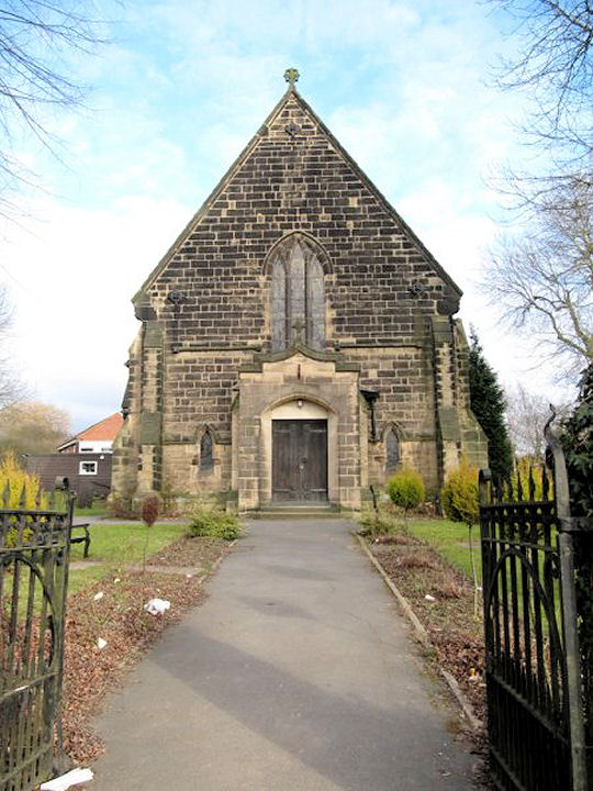
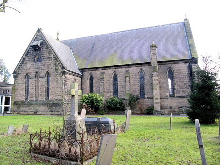
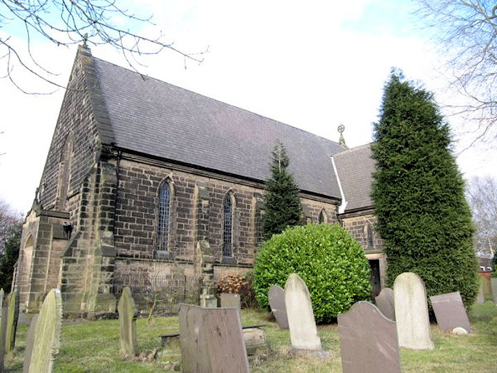
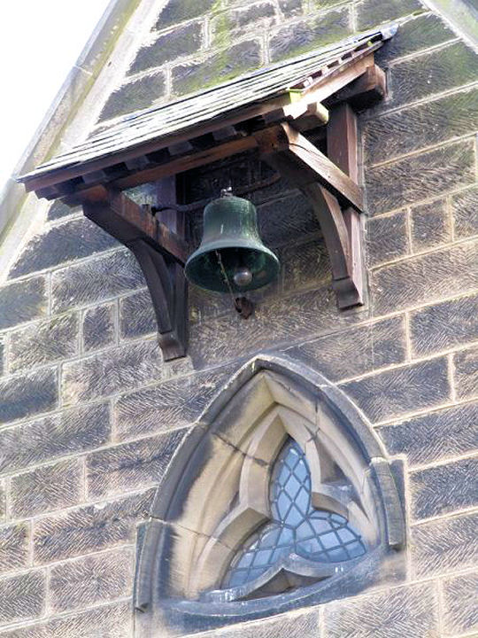
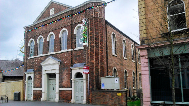
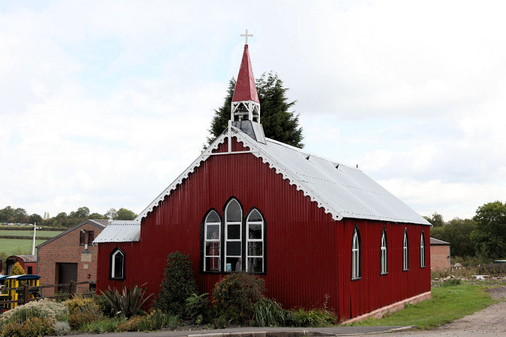
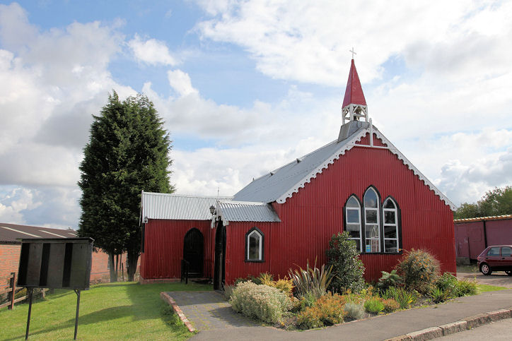
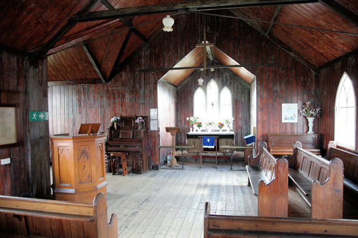
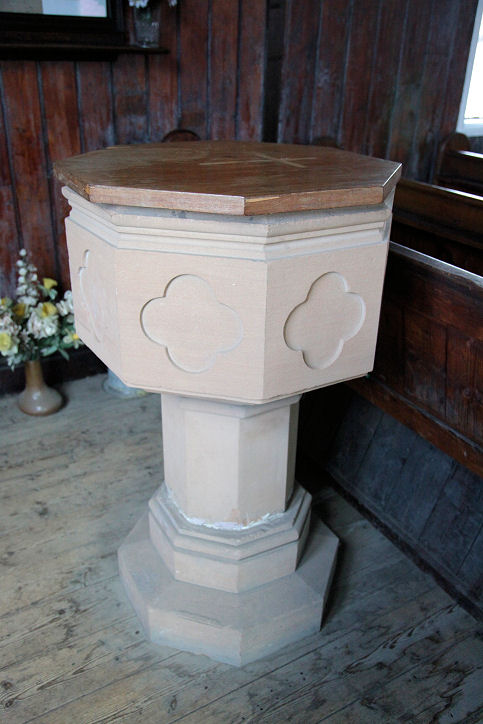
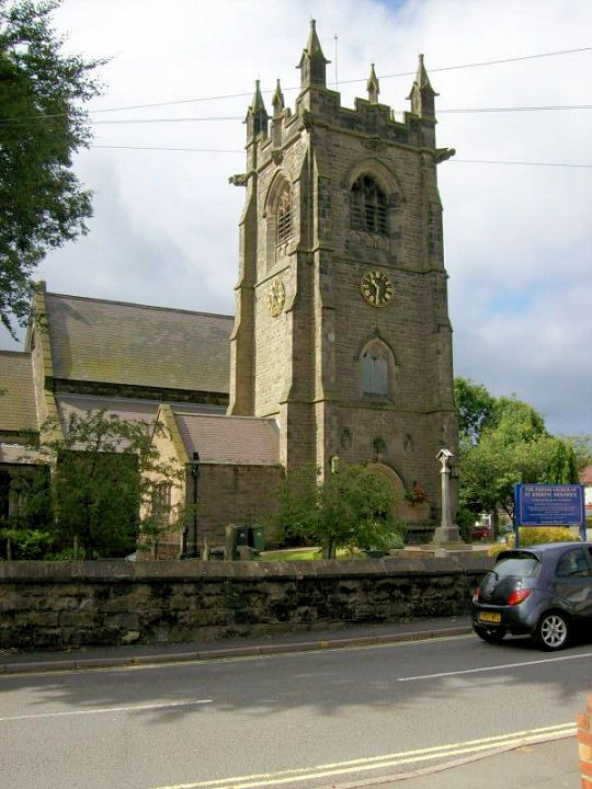
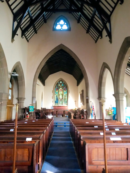
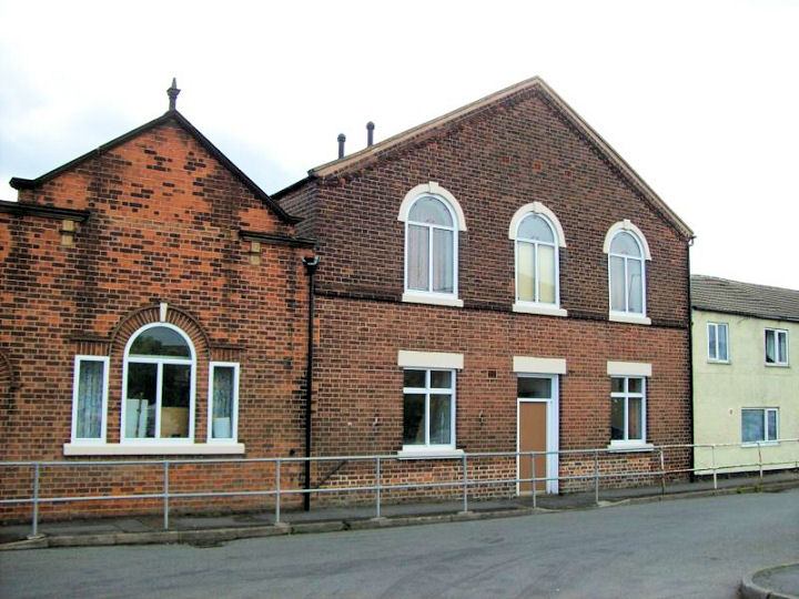
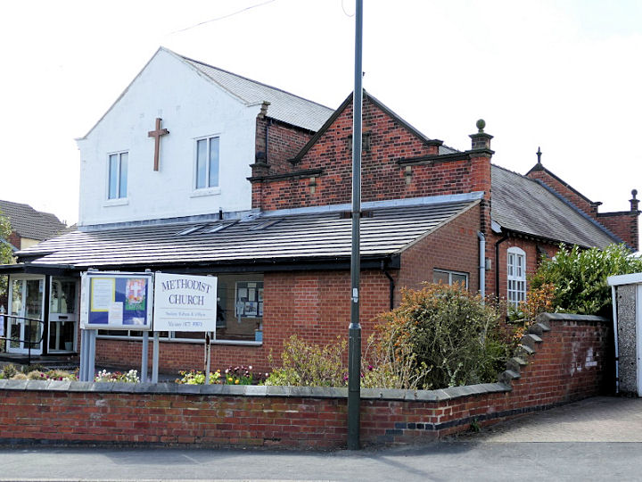
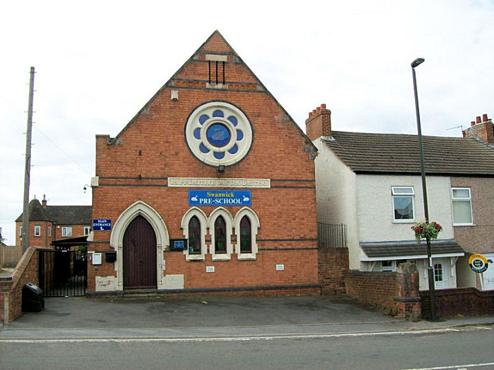
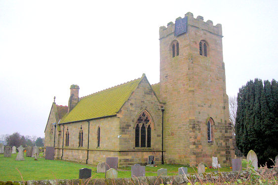
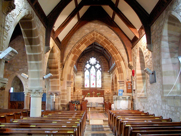
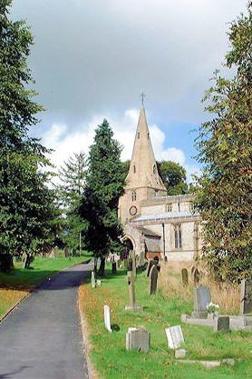
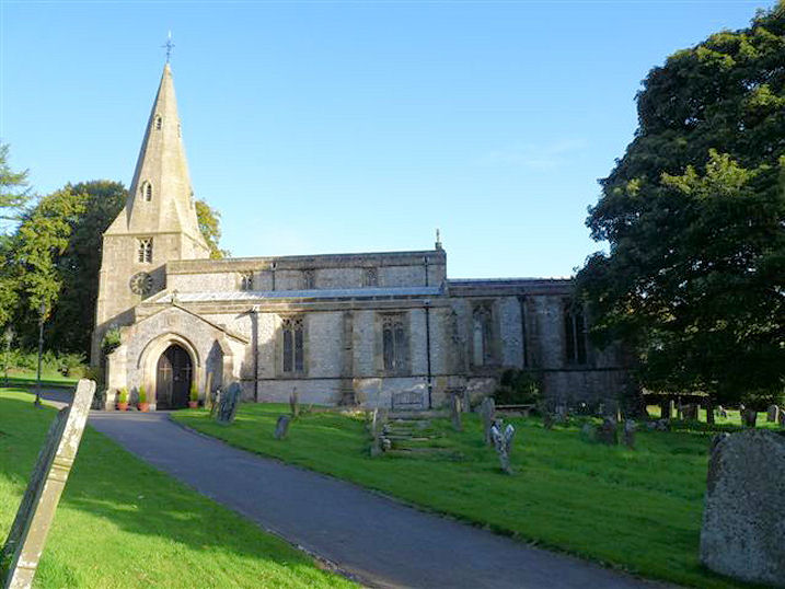
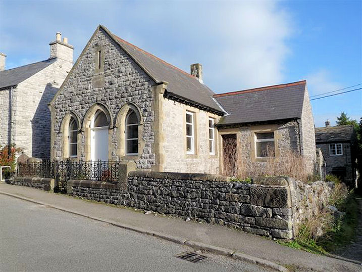
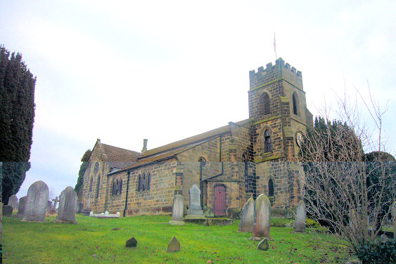
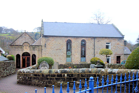
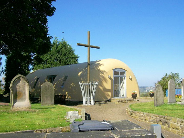
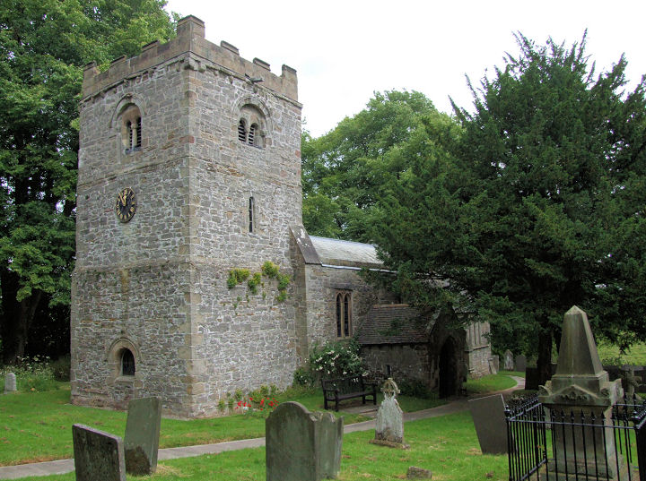
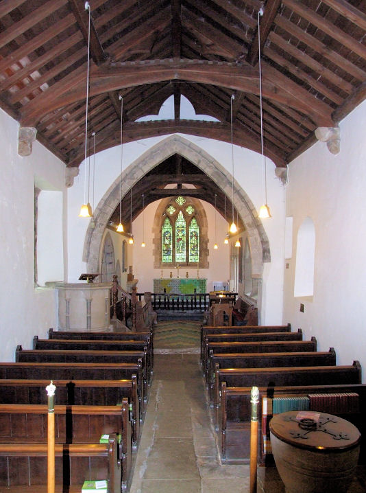
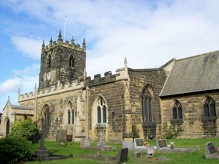
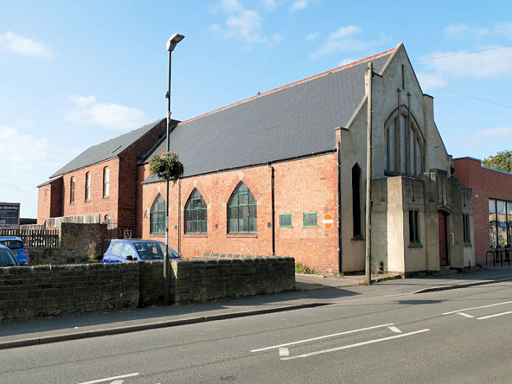
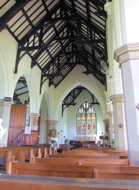
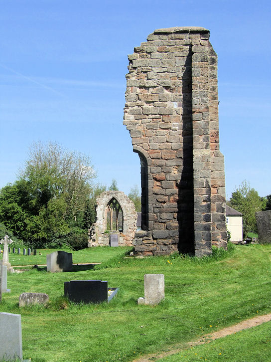
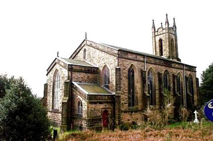
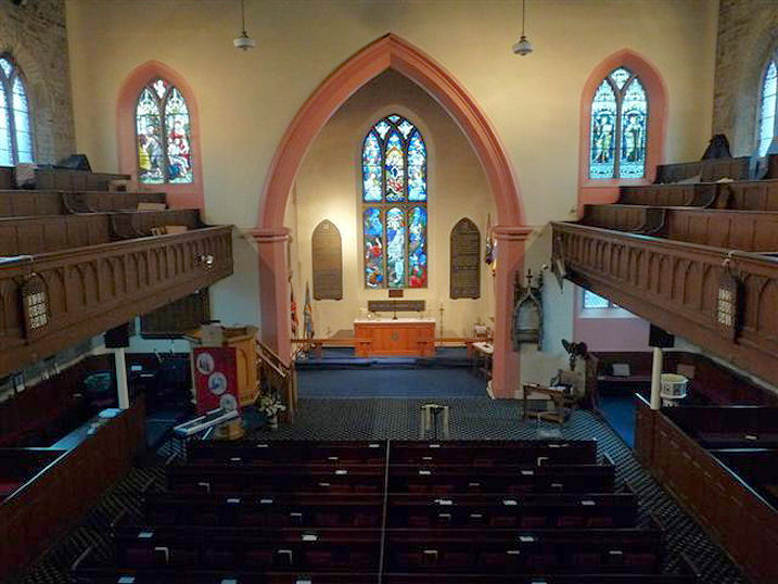
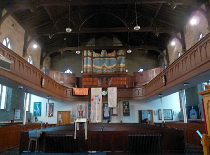
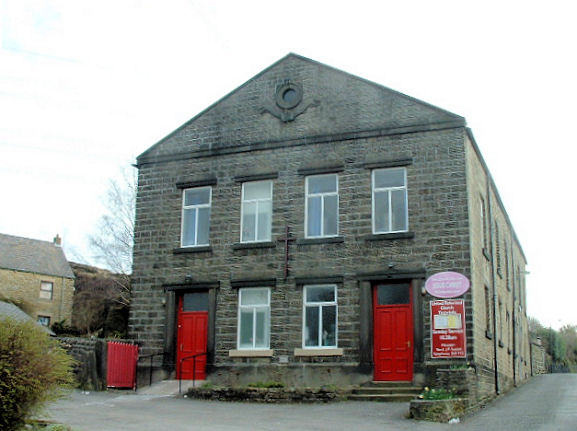
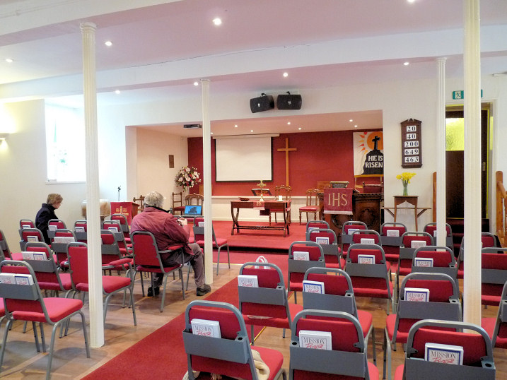
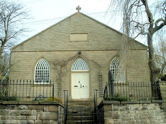
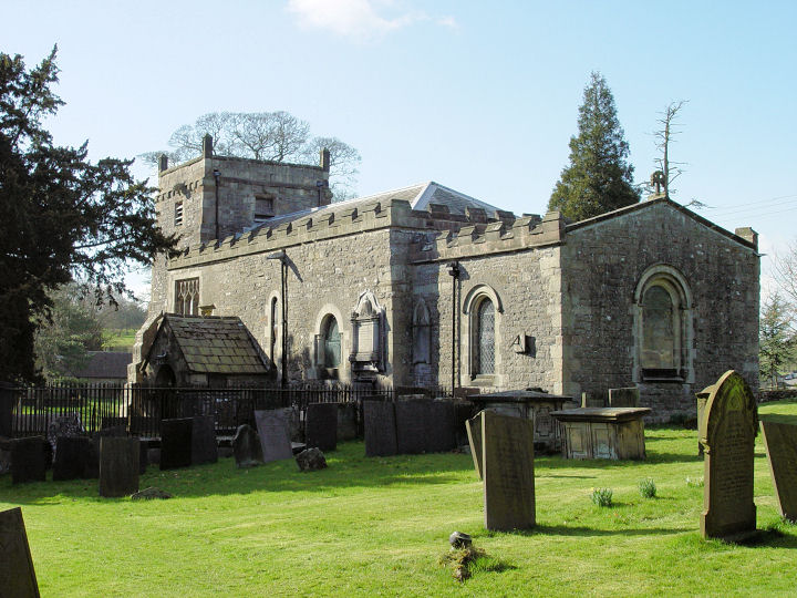
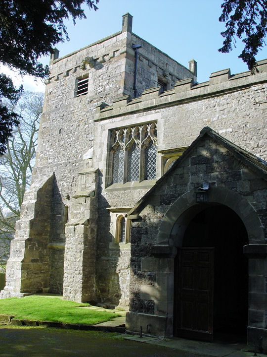
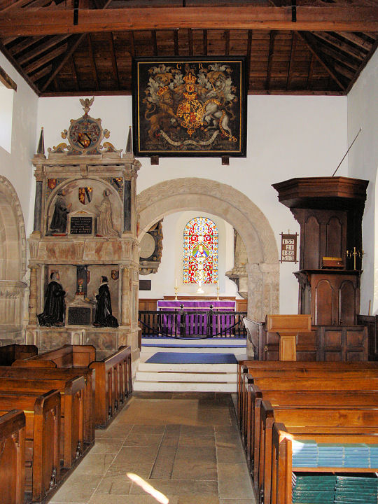
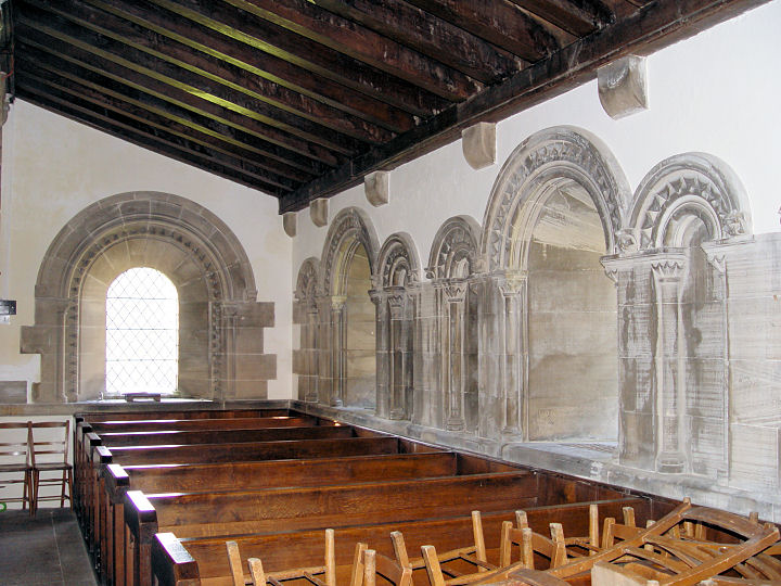
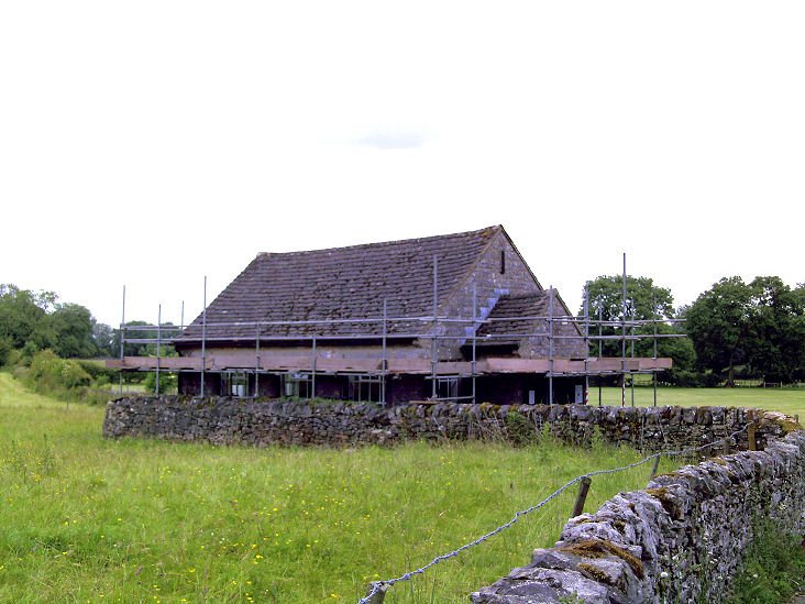
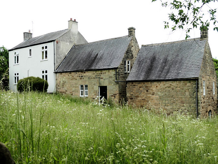
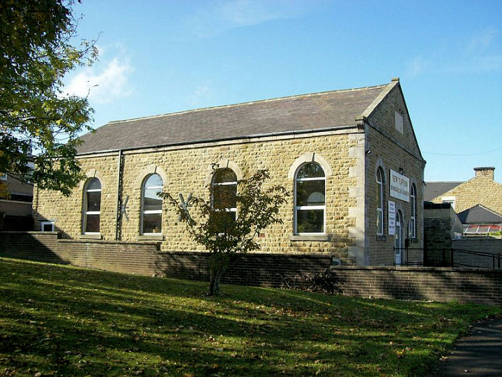
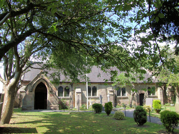
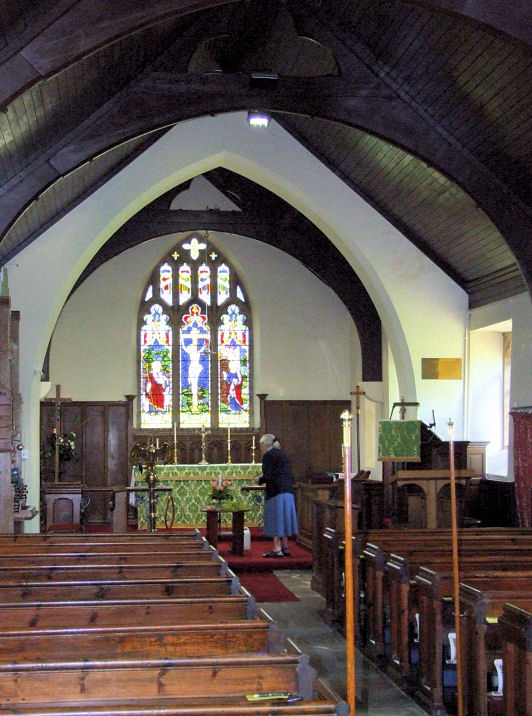
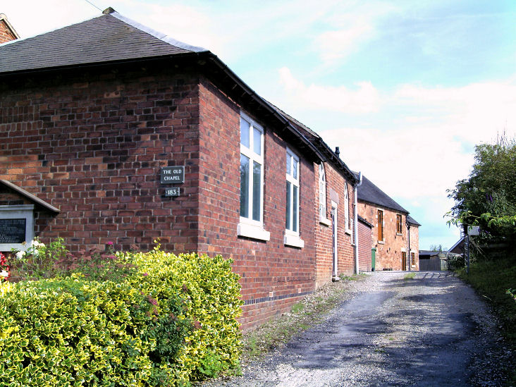
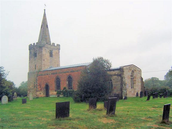
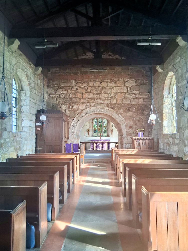
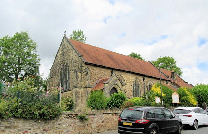
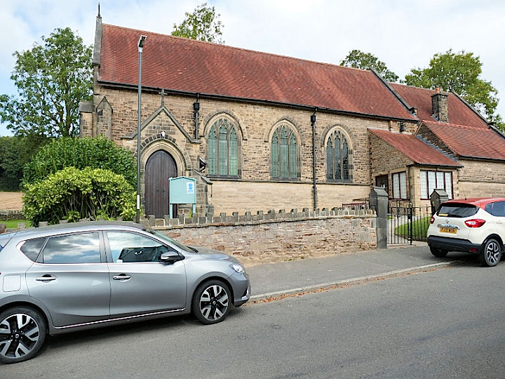
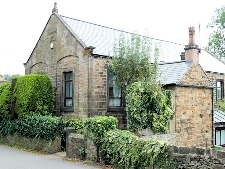
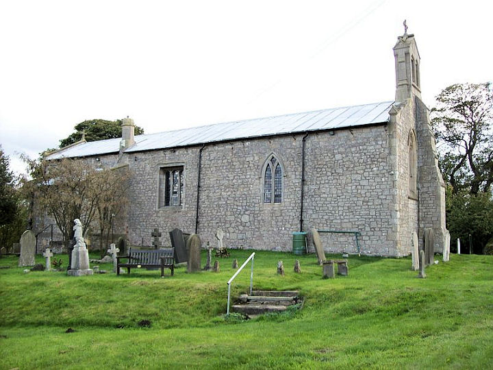
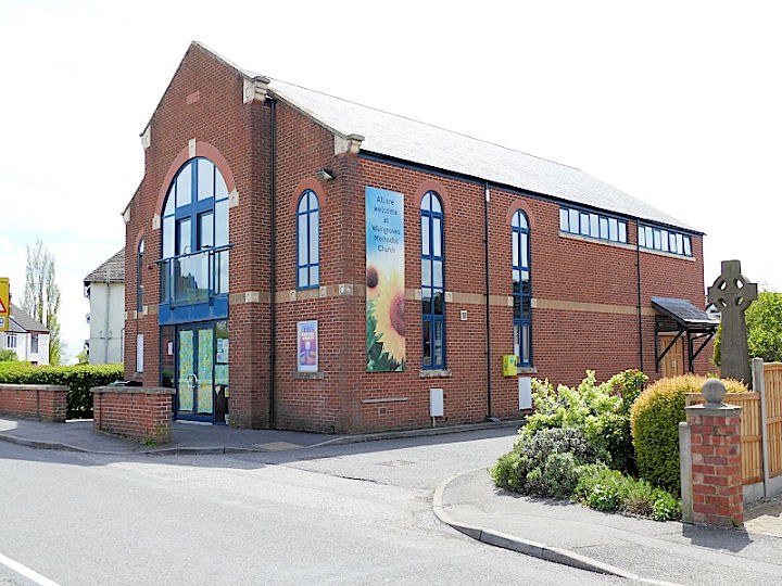
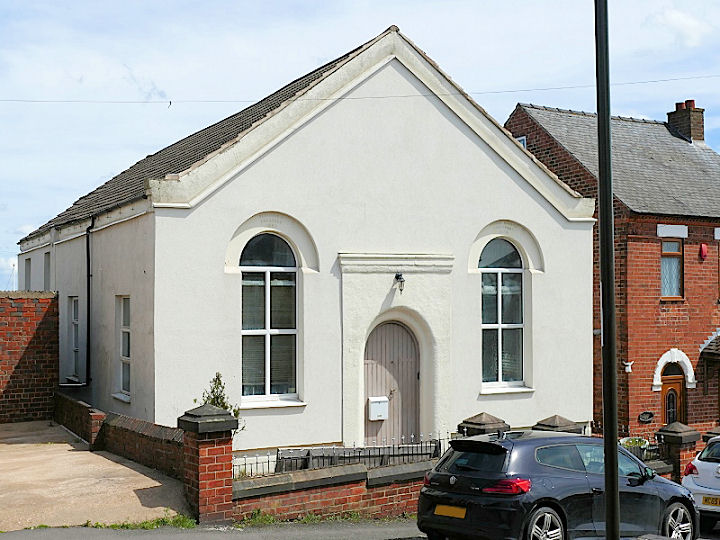
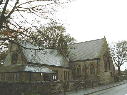
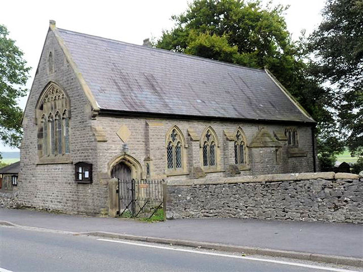
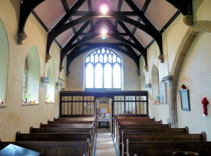
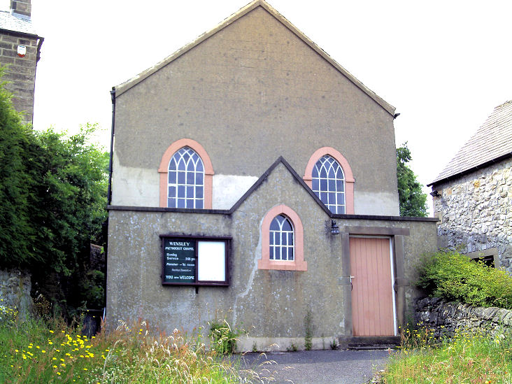
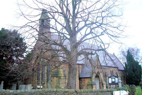
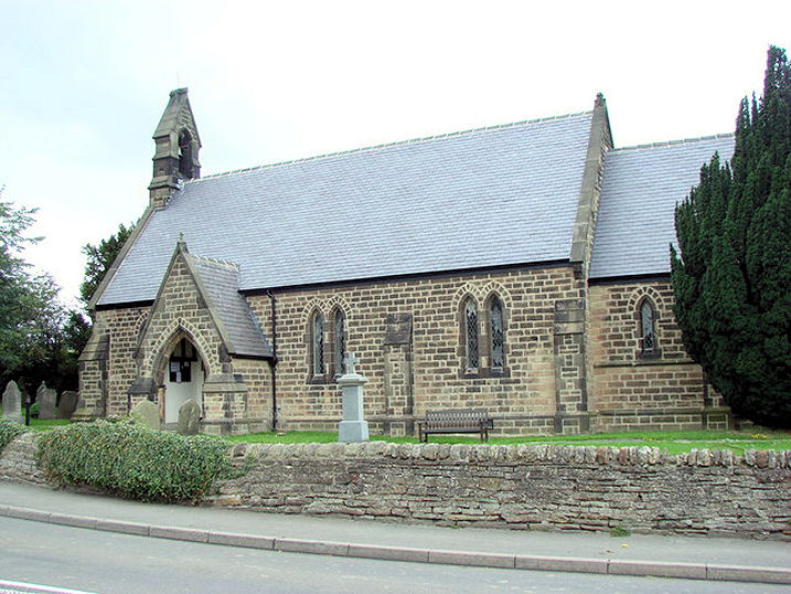
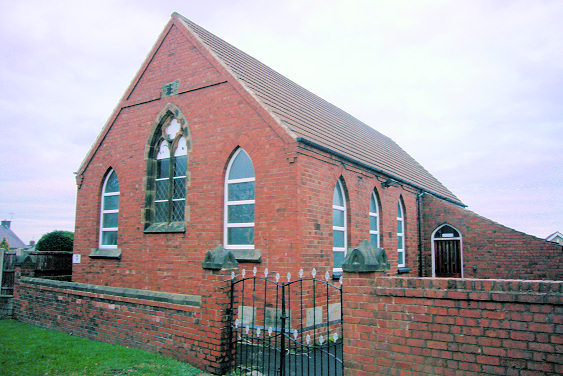
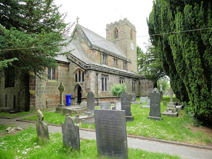
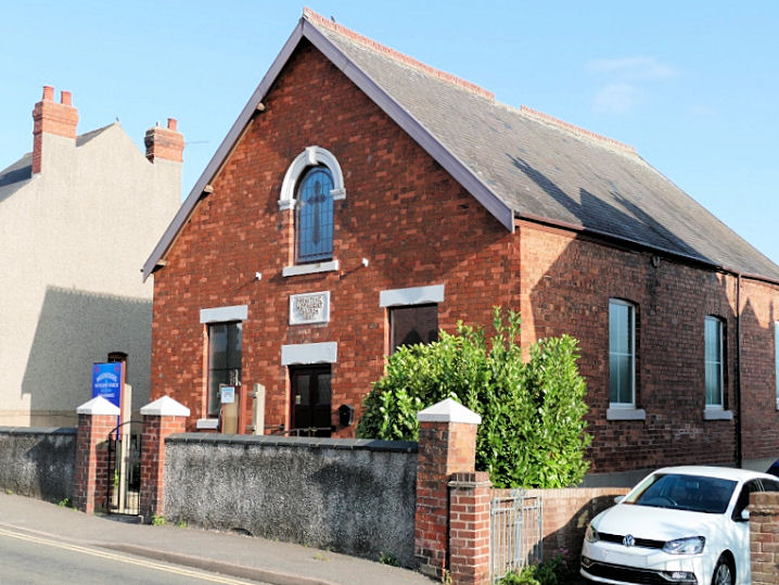
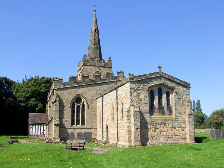
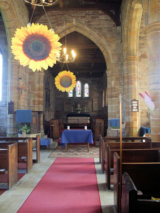
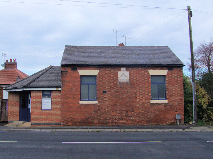
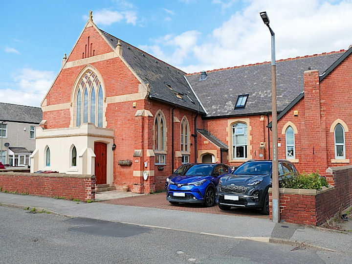
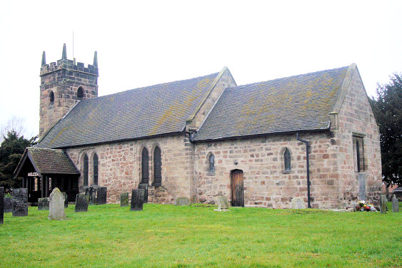
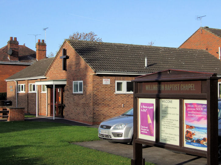
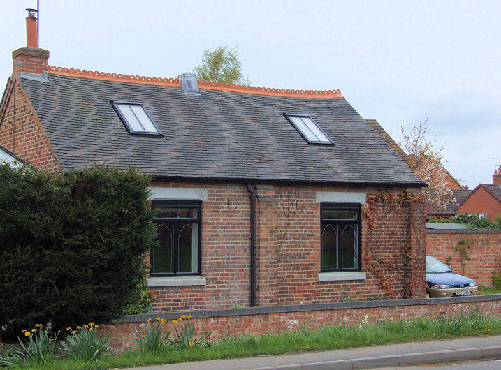
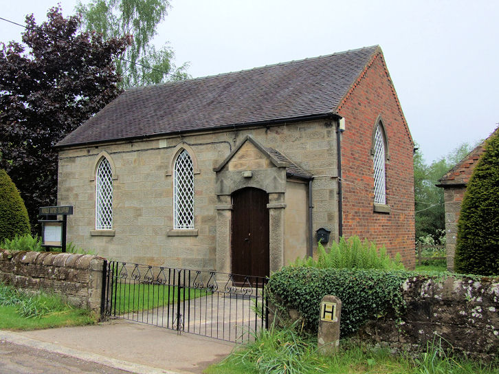
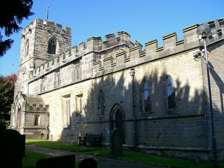
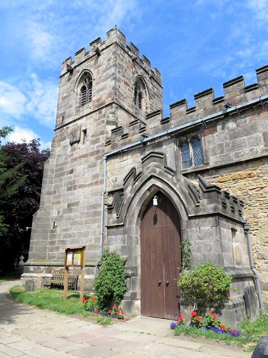
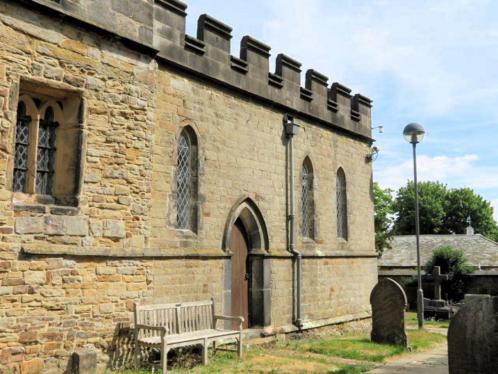
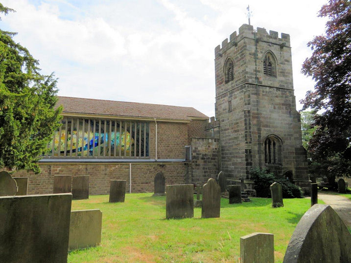
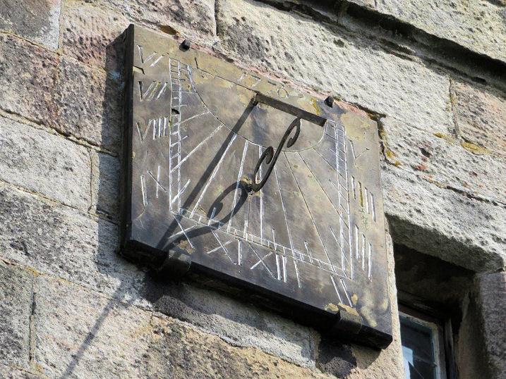
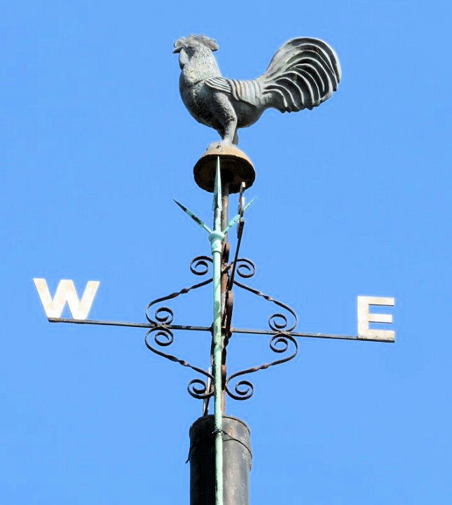
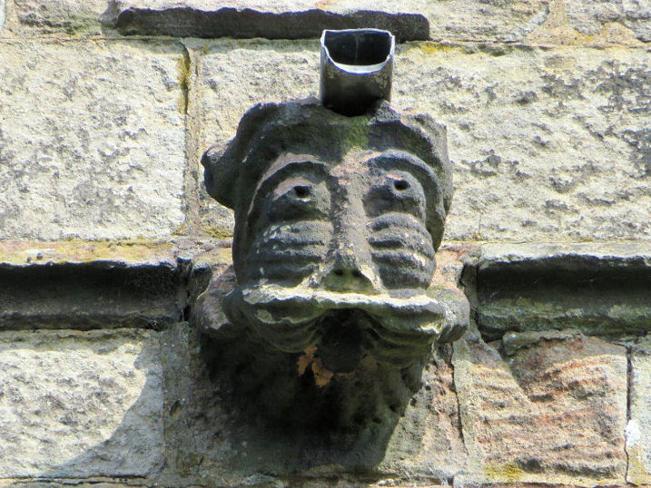
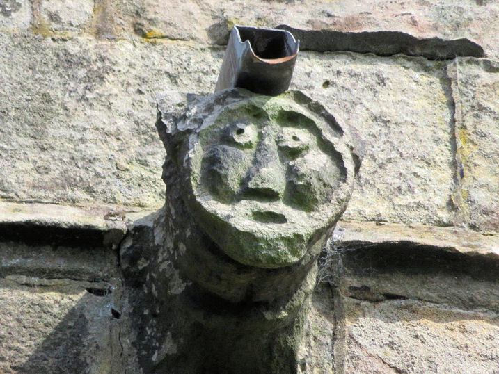
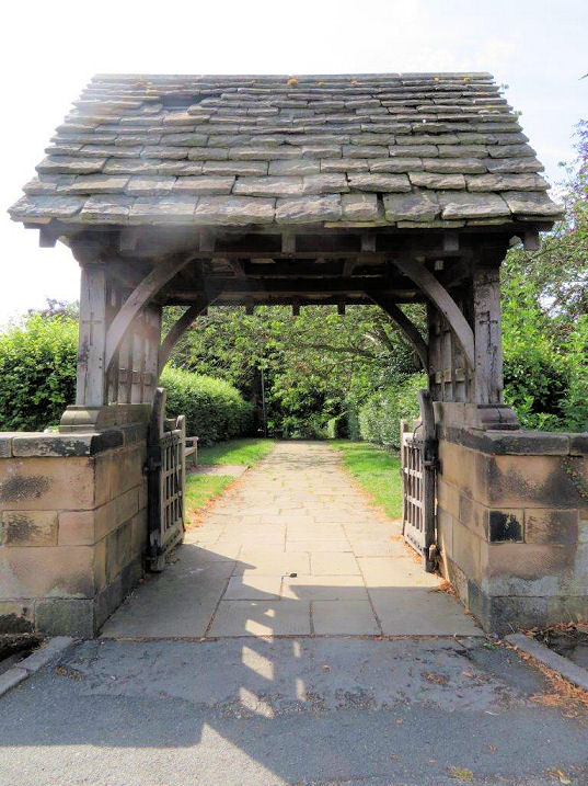
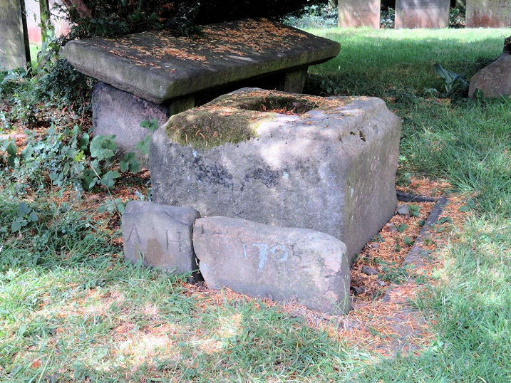
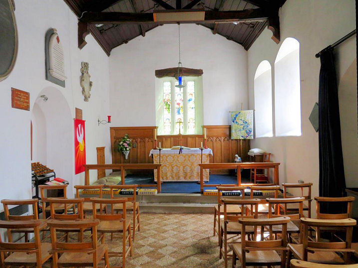
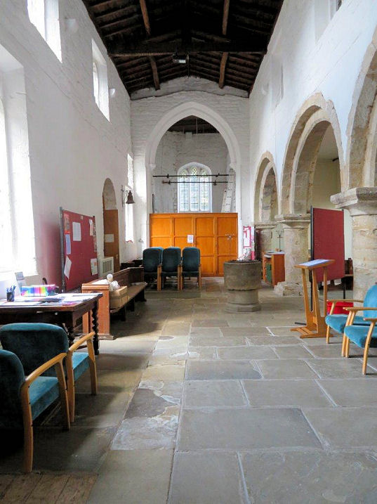
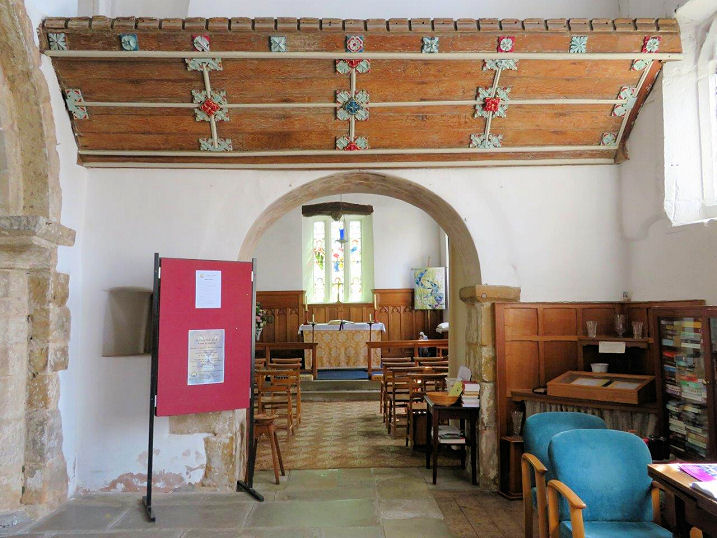
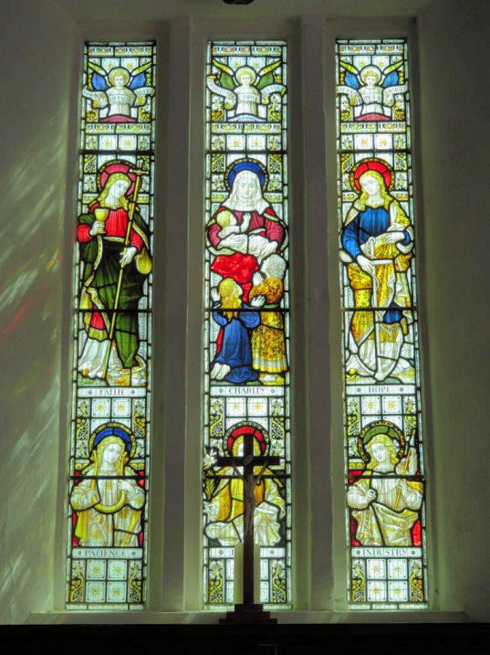
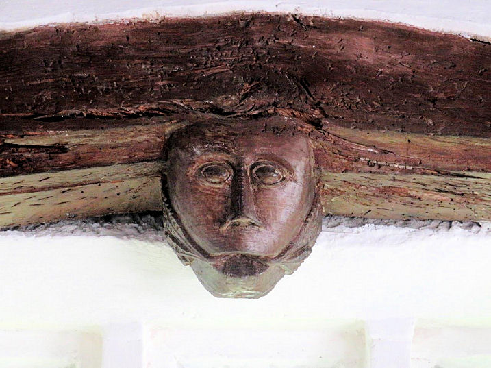
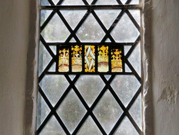
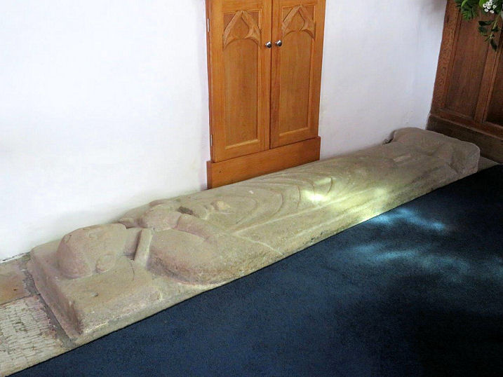
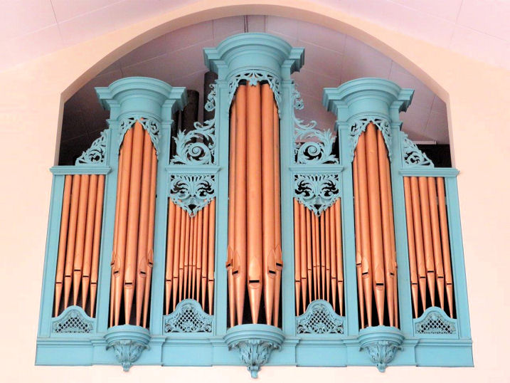
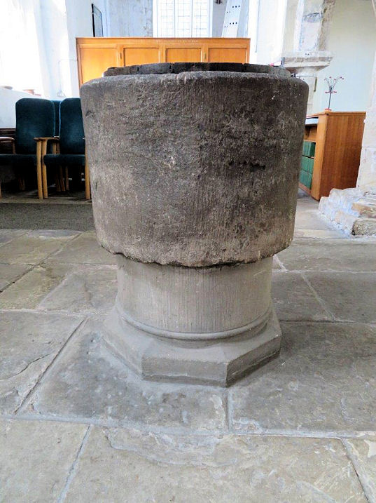
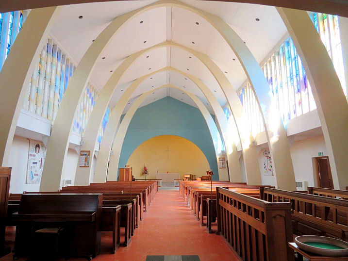
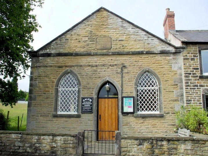
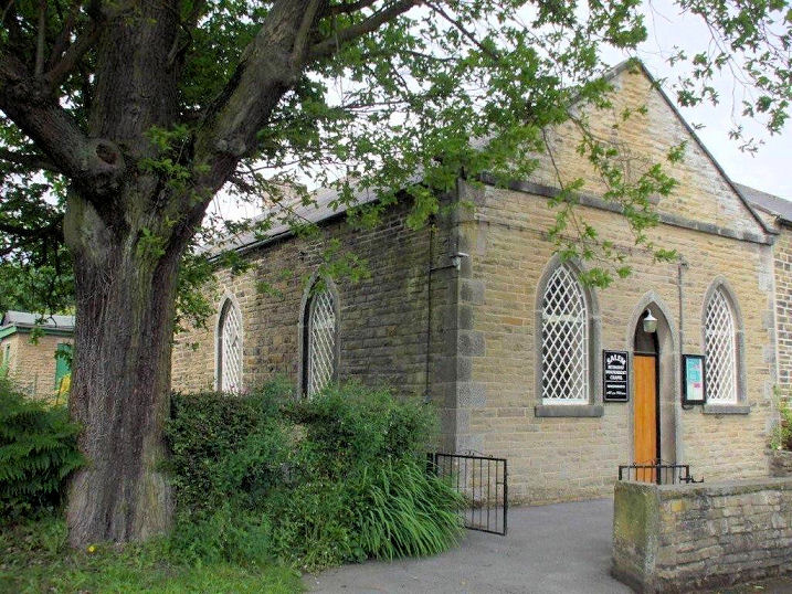
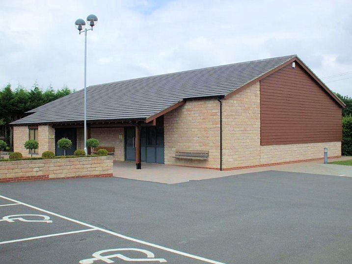
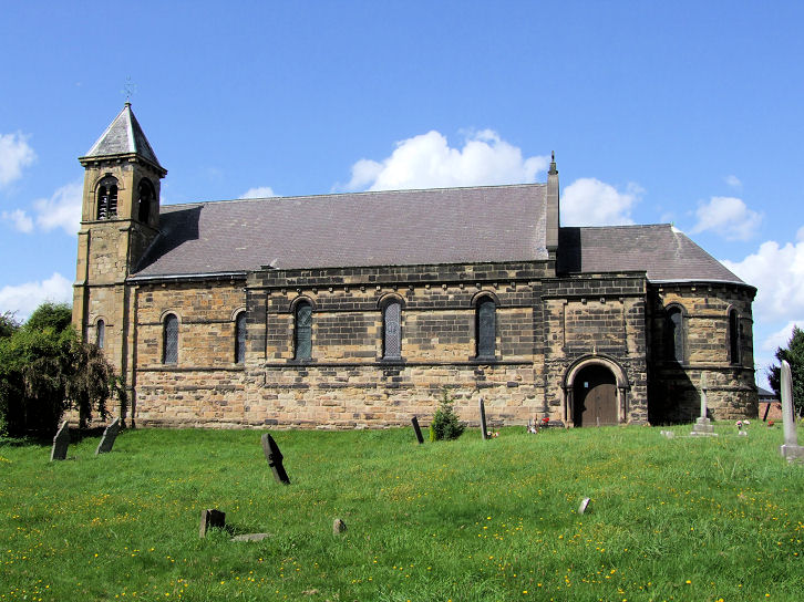
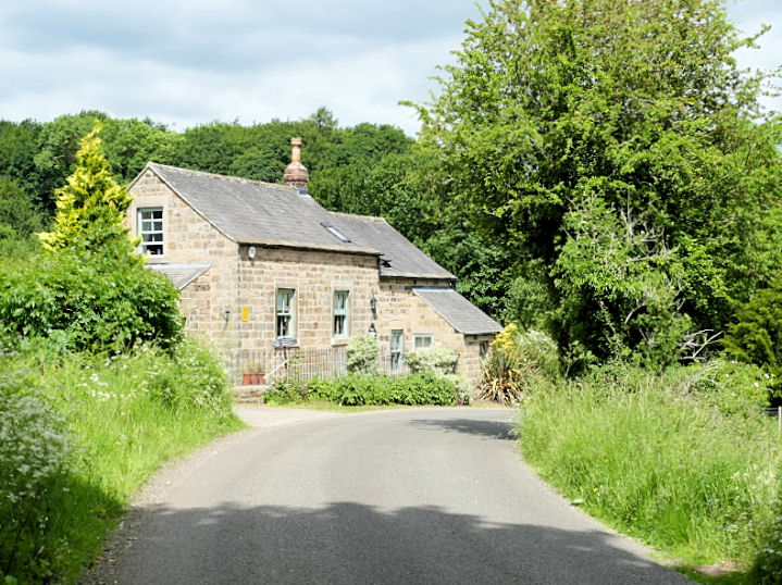
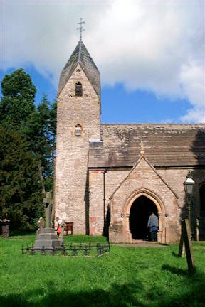
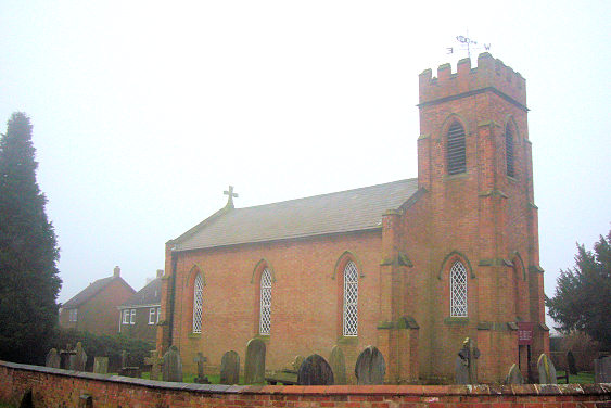
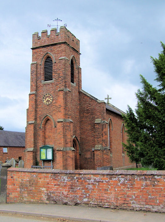
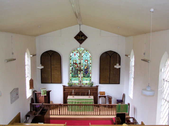