The Churches of Britain and Ireland
| Dronfield, Derbyshire
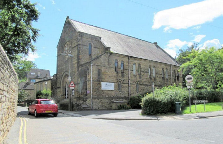
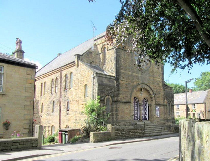
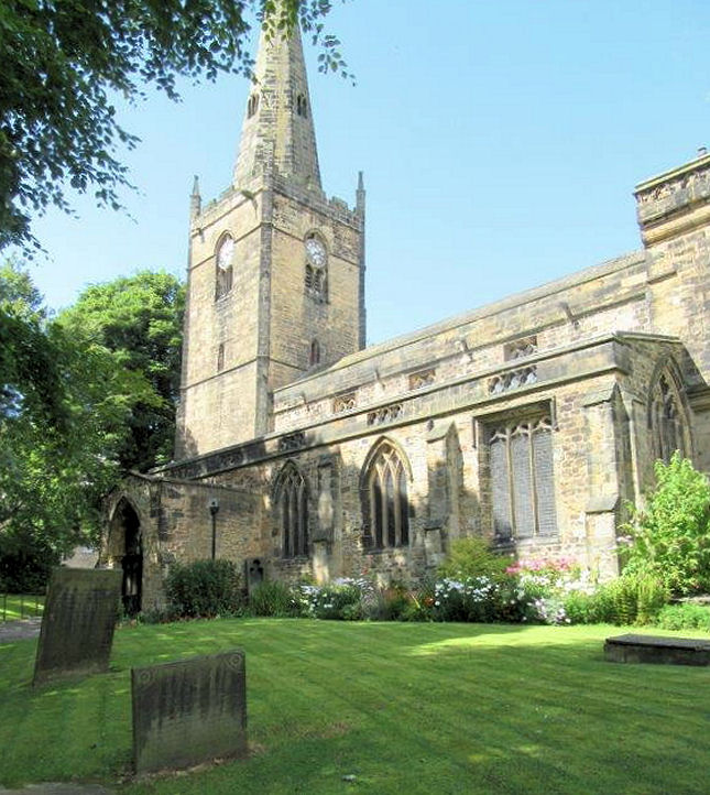
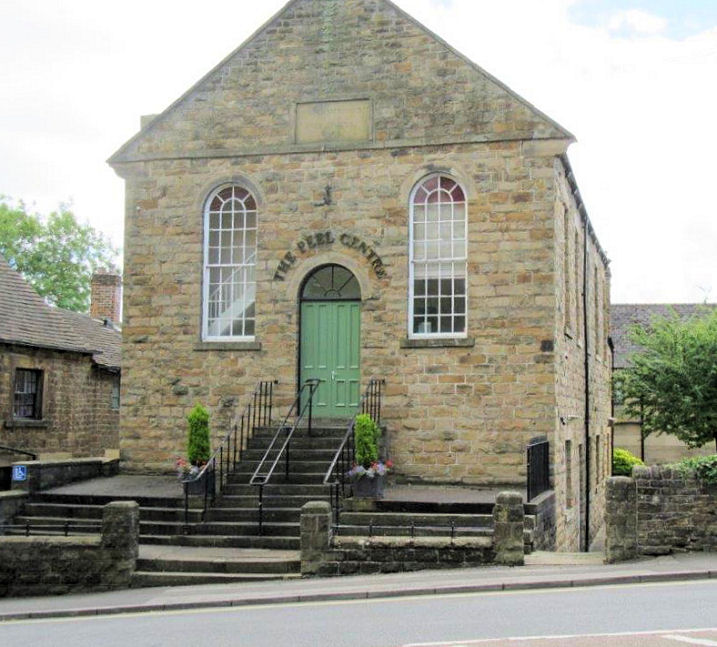
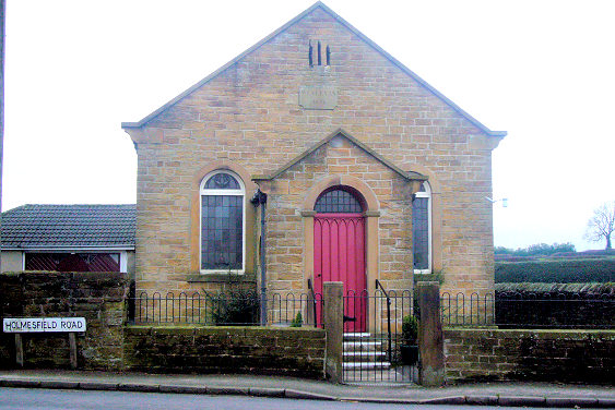
Google maps has a pin showing Dronfield Christadelphians meeting in the Yorkshire Building Society building (2020 Streetview) on Civic Centre. This seems a little odd, as is the lack of a meeting place being mentioned on the church website (at least, I couldn't find it mentioned). Can you advise if this is correct? The Holy Spirit (R.C.) on Stonelow Road as seen by Streetview in 2023. Link. Kingdom Hall of Jehovah's Witnesses (2023 Streetview) on Princess Road. SK 3558 7858. The 1883 O.S. map shows a Meth. Chapel on Lea Road at SK 3563 7815. It hasn't survived, and seems to have been demolished by the mid-20th century. I haven't been able to discover what flavour of Methodism it was. Its site was seen by Streetview in 2011 (later Streetviews are hampered by vegetation). The present Methodist Church (St. Paul) is on Green Lane and Snapehill Lane. It was seen by Streetview in 2023. SK 3568 7902. Link. The cemetery on Cemetery Road has two Mortuary Chapels, close together at SK 3590 7783. They can't be seen on Streetview, but the cemetery website shows one of them. Oaks Community Church on Lea Road. Another view. SK 3536 7836. Both © Les Needham (2017). Link. This link says it was founded in 1987, in what had been Salem Independent/Congregational Chapel, which pre-dates a map of 1883. St. Andrew's Community Church on Pentland Road, Dronfield Woodhouse. When a 2023 Streetview was taken it had a sign saying "Celebrating 50 years". SK 3377 7837. Link. St. John the Baptist, undergoing renovation. SK 3528 7842. © James Murray. Another view, © Les Needham (2017). Link. Grade I listed. The stump of a churchyard cross is also listed, as grade II. The former United Methodist Free Church on High Street is now The Peel Centre, a venue for concerts, meetings, education, and the like. Its grade II listing dates it to 1863. SK 3508 7846. © Les Needham (2017). Link. The 1898 25" O.S. map shows a Wesleyan Methodist Chapel on Chesterfield Road at SK 3533 7857. It still shows as active on a map of 1961, but has since been demolished. I think it will have stood on the piece of raised ground seen in a Streetview from 2023. The former Wesleyan Methodist Chapel of 1848 on Holmesfield Road, Dronfield Woodhouse. It was still in active use at the time of a map of 1960, presumably as Methodist. © James Murray.
|
||
06 October 2024
© Steve Bulman