The Churches of Britain and Ireland
| Bakewell, Derbyshire
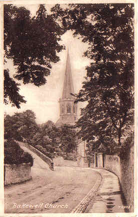
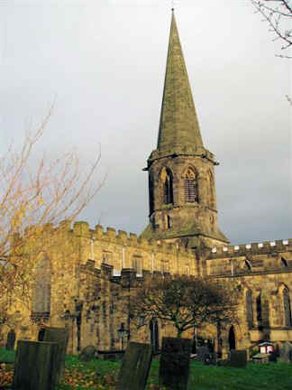
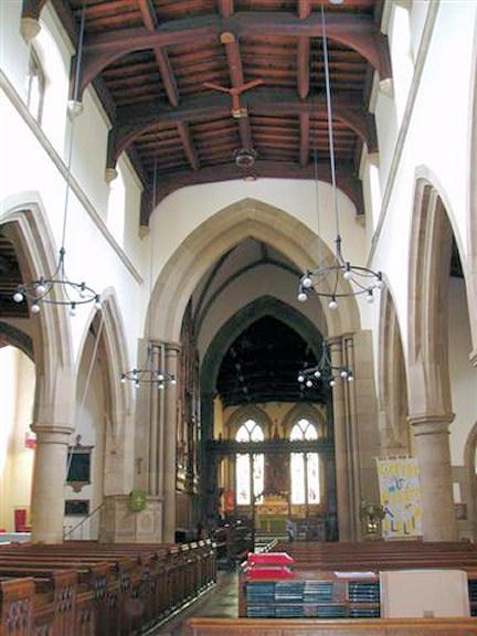
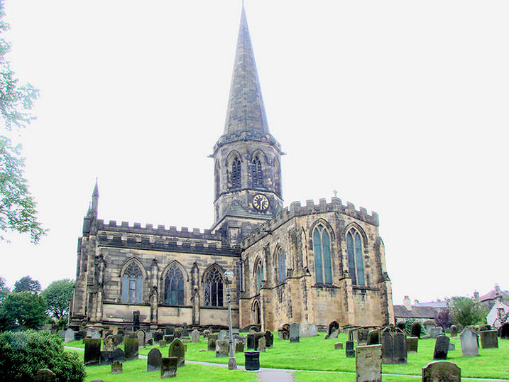
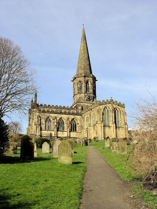
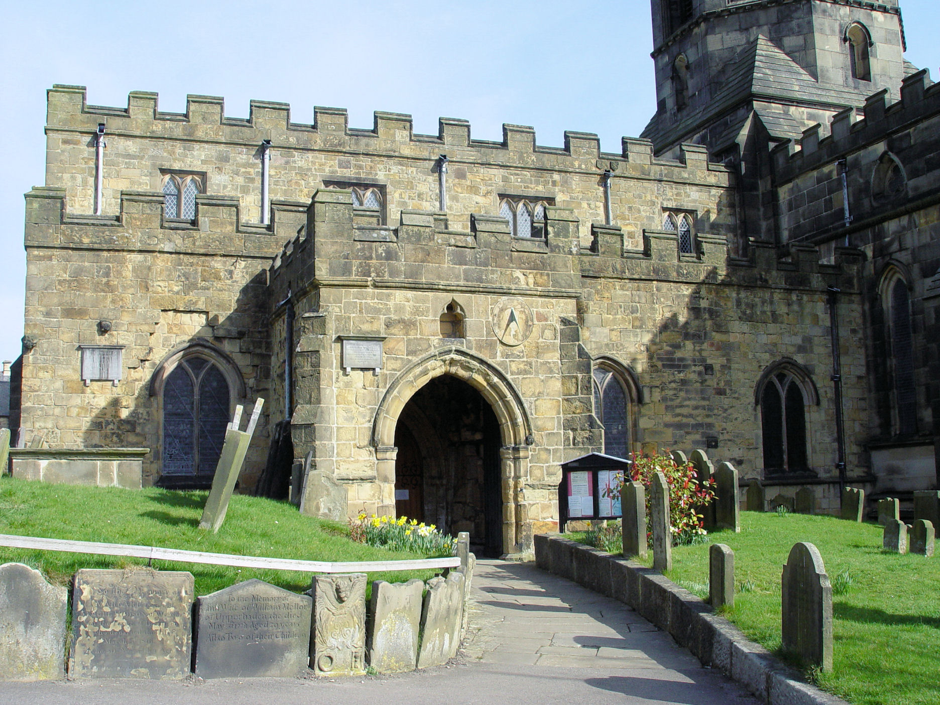
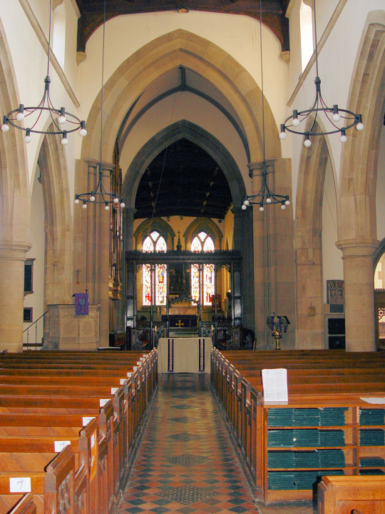
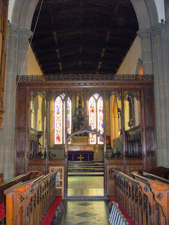
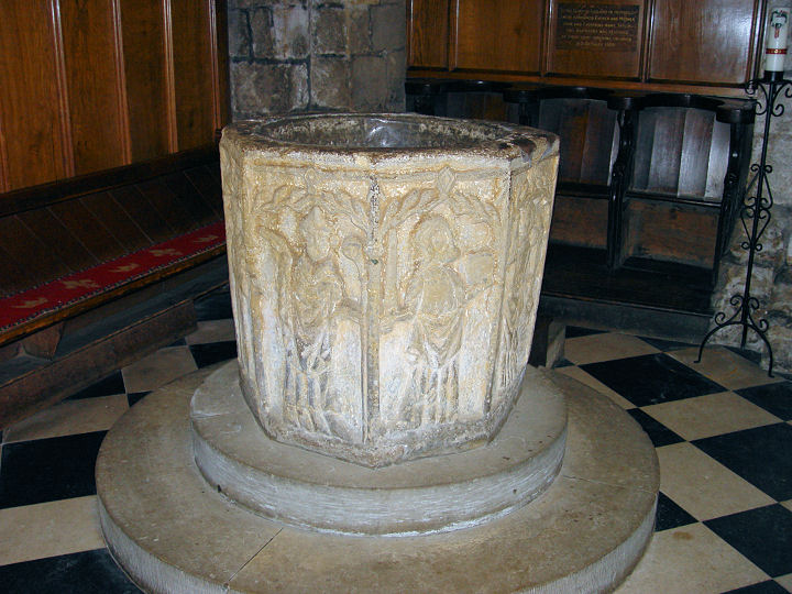
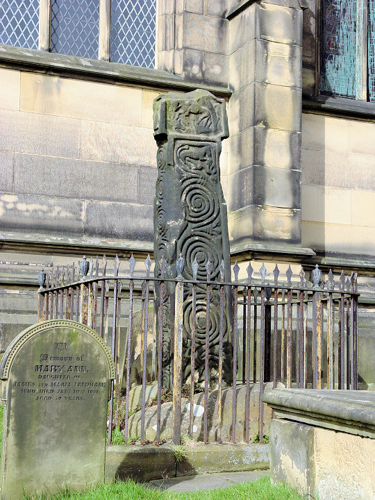
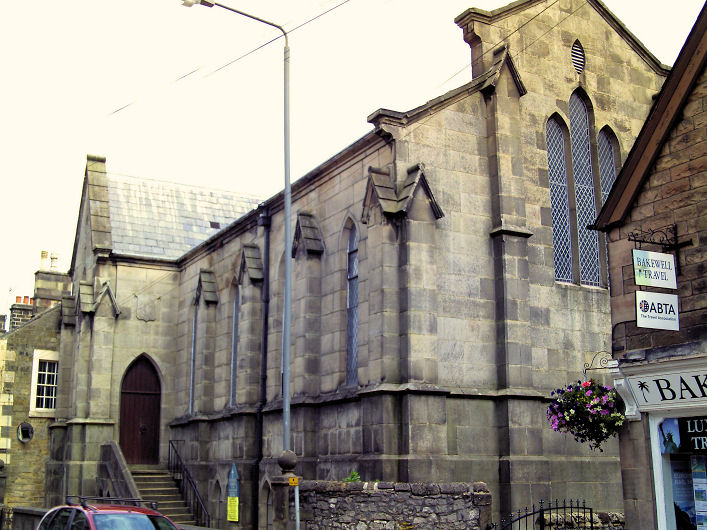
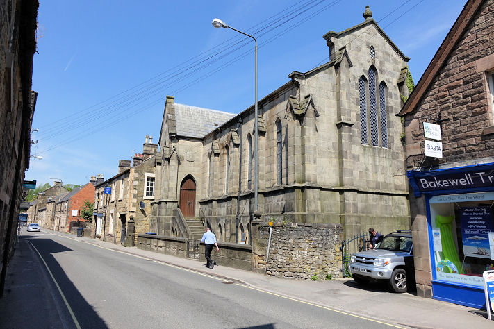
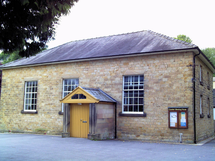
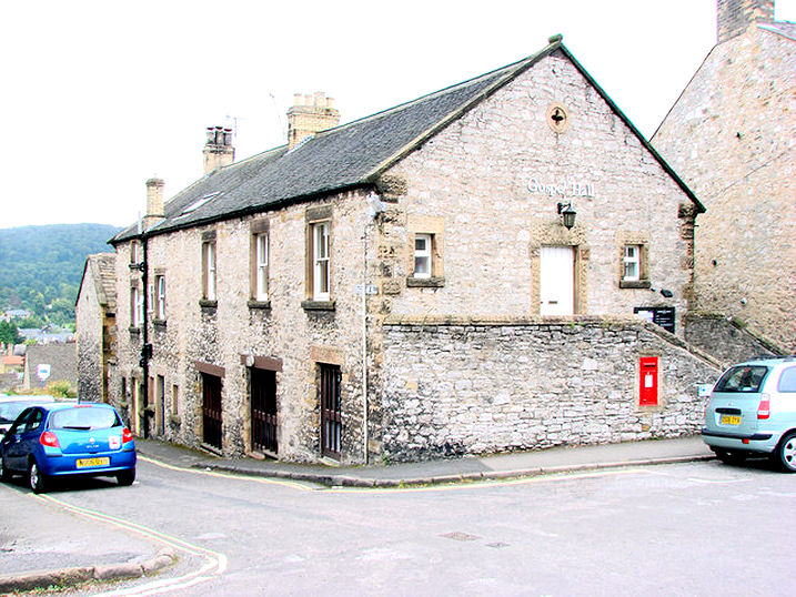
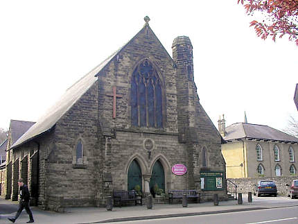
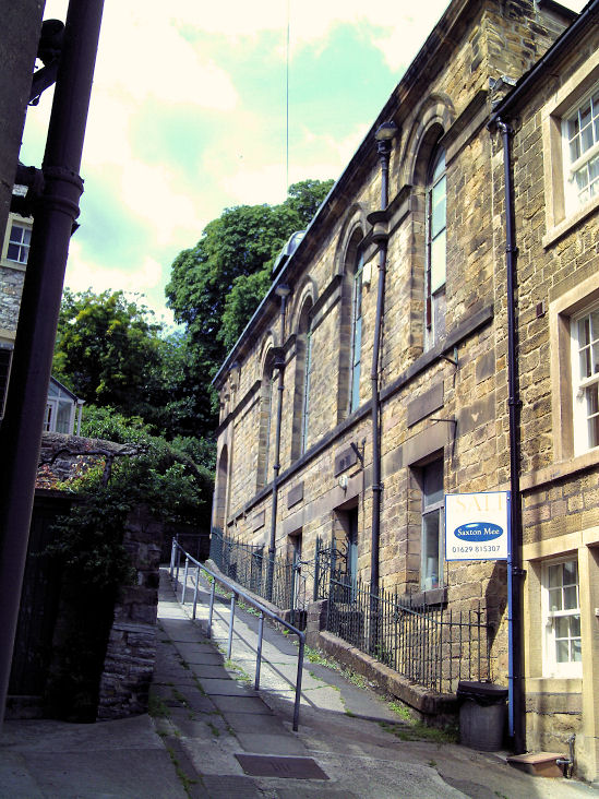
All Saints on South Church Street. From an old postcard in Steve Bulman's Collection. A modern view, and an interior view. SK 2156 6848. Both © Aidan McRae Thomson. Another view, © Bill Henderson. The following photos are all © Steve Bulman - another view of the church, and a view of the porch, which contains a good collection of Saxon and medieval fragments. Interior view, and a closer view of the chancel screen. The font. In the churchyard stands an Anglo-Saxon cross. Link. Grade I listed. For related listed features, see here. English Martyrs Roman Catholic Church on Buxton Road. SK 2169 6865. © Gervase N. E. Charmley (2011). Another view, © Steve Bulman (2018). Link. The grade II listing dates it to 1849. O.S. maps show a now demolished R.C. Chapel on Granby Road at SK 2188 6842. Post-dating a map of 1883, it shows as still active on mid-20th century maps. Its site - a car park - was seen by Streetview in 2019. Friends' Meeting House (1852), off Chapel Lane. SK 2177 6826. © Gervase N. E. Charmley (2011). Grade II listed. Gospel Hall (Evangelical) on North Church Street. SK 2157 6859. © Bill Henderson. 2017 Streetview. Methodist Church on Matlock Street. Older maps label it as Wesleyan, and it's dated here to 1866, originally as Dr Bunting's Memorial Chapel, and was also known as Wesley Chapel. SK 2183 6829. © Peter Fowler. Facebook. The cemetery on Burton Edge has two Mortuary Chapels. Both were seen by Streetview in 2011, The Nonconformist at SK 2173 6783, and the Church of England, at SK 2169 6793. Peak Trinity Church (Evangelical) on Shutts Lane, as seen by Streetview in 2016. SK 2110 6784. Link. A former Primitive Methodist Chapel is listed here as standing on Water Street, dating from 1892. It isn't shown on any available on-line maps, and its appearance gives no hint of its status as a former chapel. It was seen by Streetview in 2022 (the white-painted building). Circa SK 2189 6849. The former Wesleyan Reform Chapel, on a narrow and steep path off Buxton Road. This source dates it to 1867. SK 2167 6861. © Gervase N. E. Charmley (2011).
|
||
23 March 2024
© Steve Bulman