| West Lothian
West Lothian on Wikipedia.
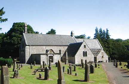
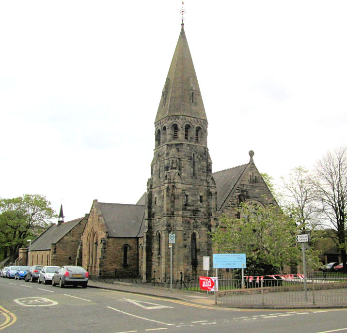
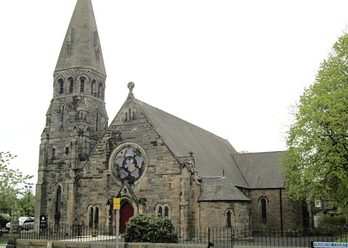
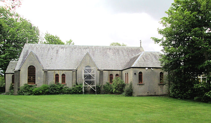
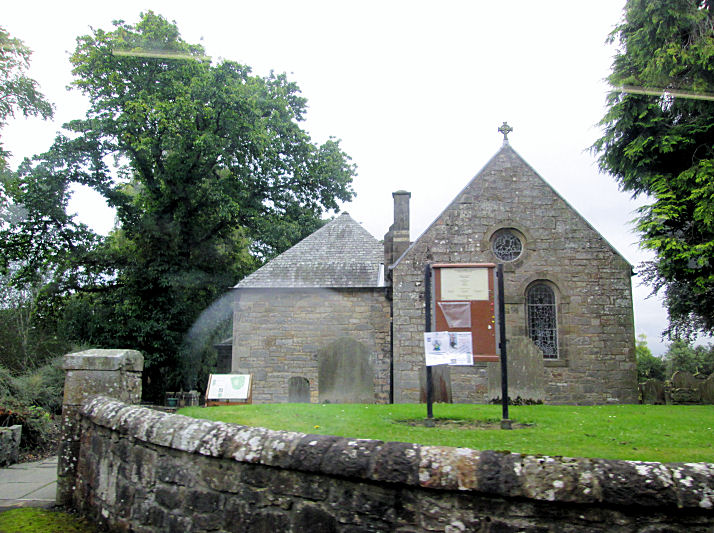
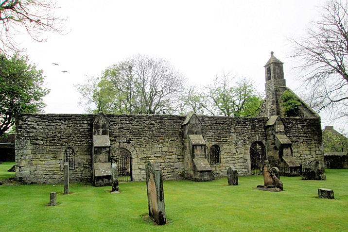
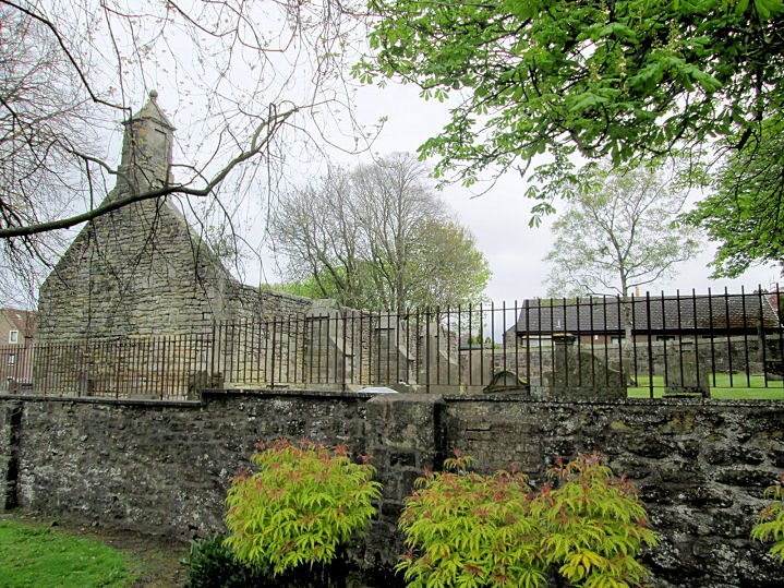
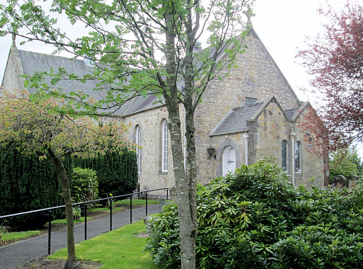
Abercorn, the
Parish Church. © Bill McKenzie. Link1. Link2.
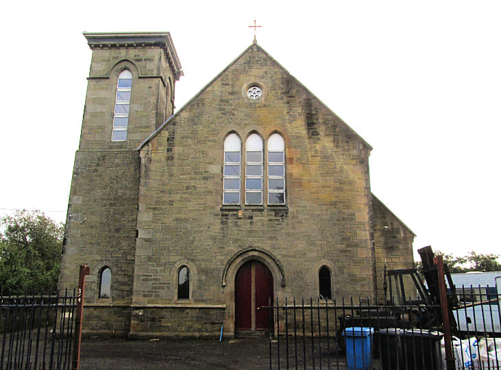
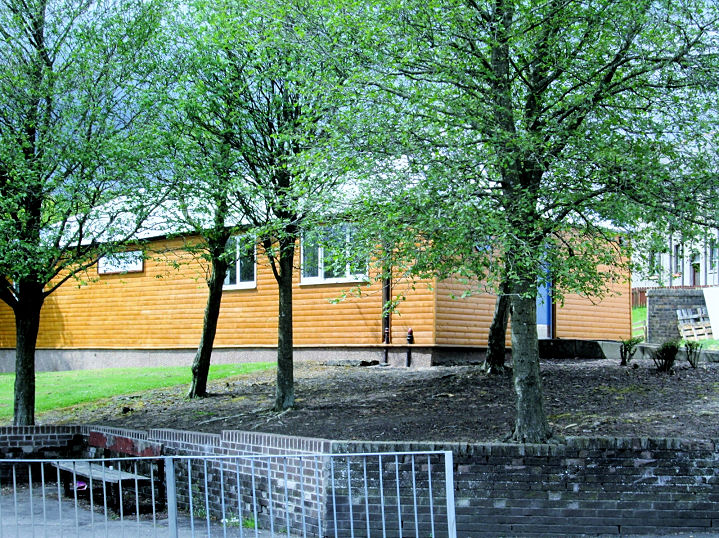
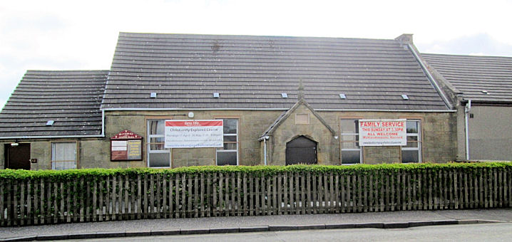
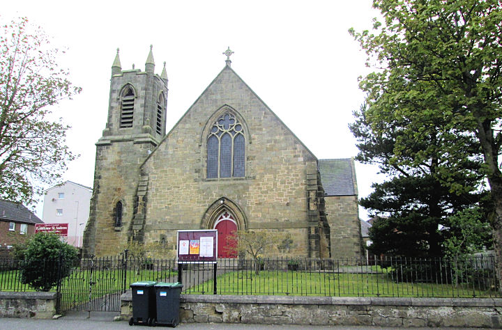
Addiewell, the former
Addiewell Parish Church on Livingstone Road.
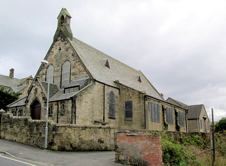
Another view.
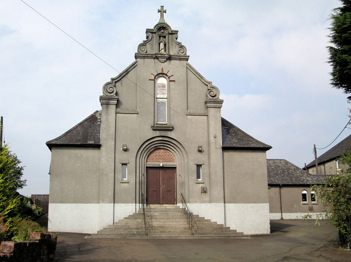
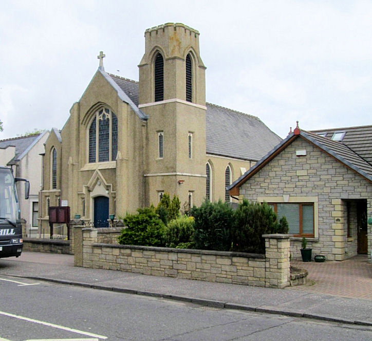
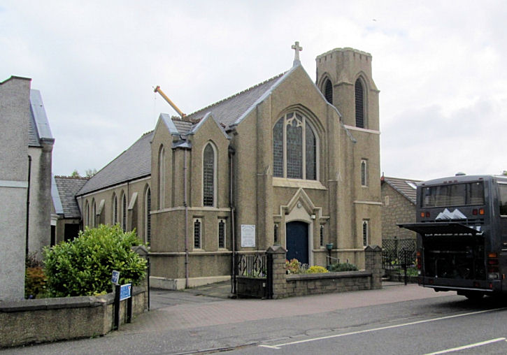
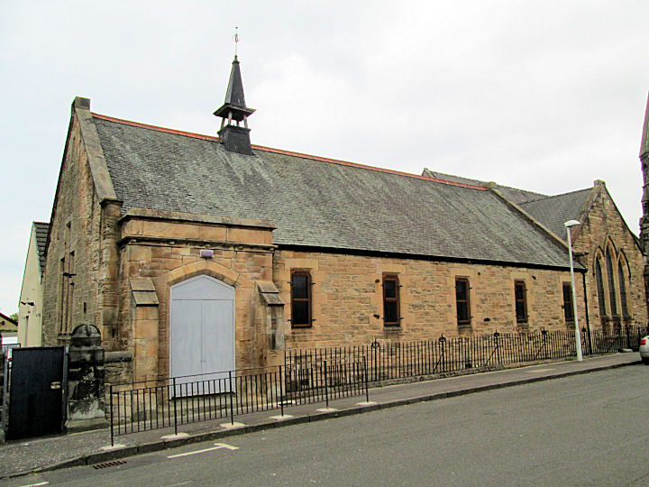
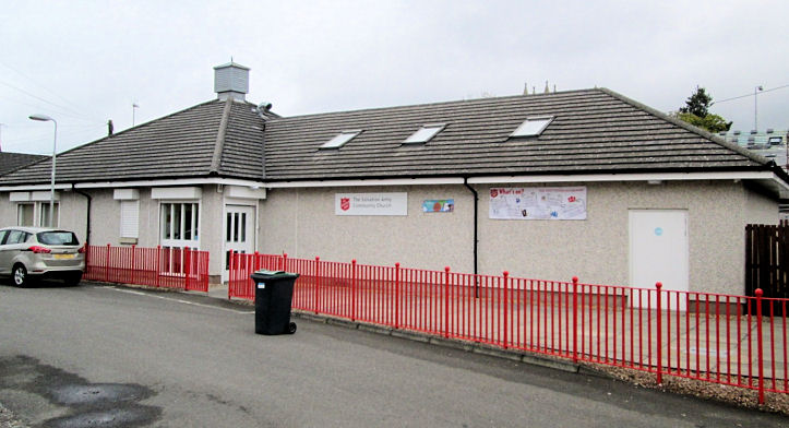
St. Thomas (R.C.) on
Blackburn Road. Link.
All
© Jim Parker (2016).
Armadale, the Parish Church
(CoS) on Academy Street.
Link.
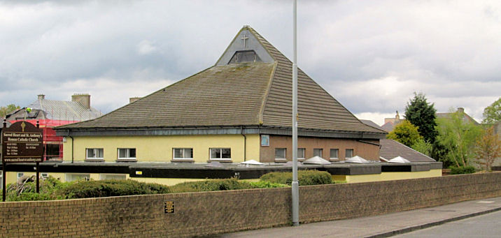
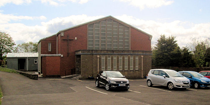
Sacred Heart & St. Anthony's Church
(R.C.) on Wotherspoon Crescent. Link.
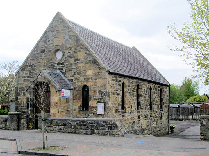
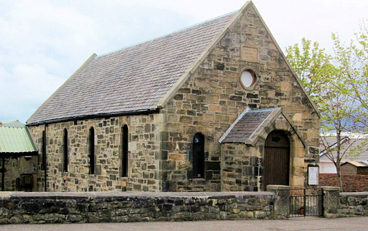
Armadale Methodist Church on
East Main Street. Another view.
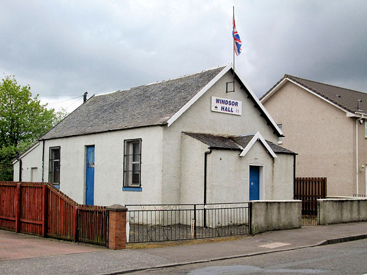
Link. The former Baptist Church on
South Street is now Windsor Hall.
Armadale Church of Spiritual Light meet in the Scout Hall on South Street.
Link. The site of Armadale United
Free Church. A plaque
records the church, and the laying of the foundation stone by Sir James Young
Simpson, on whom more
here. All © Jim
Parker (2016).
Bathgate, including Boghall.
Blackburn,
Blackburn and Seafield Church (CoS) on East Main Street.
It's dated on the
church website to 1907-8. Another view.
NS 9909 6548. Both © Jim Parker (2016).
Link.
Our Lady of Lourdes (R.C.) on
Bathgate Road.
© Jim Parker (2016).
Link
- dates it to 1961. Gospel Hall on
Bathgate Road.
It has a date-stone for 1876, though probably as a school building. NS © Jim Parker (2016). Link.
Pre-dating a map of 1856 is an Independent Chapel,
on Bathgate Road at NS 9854 6551. This
source says
it dated from 1820, and O.S. maps show it to have been closed no later
than 1955. Some of it may have survived as the entrance to a
Masonic Hall -
2025 Streetview. Another Church (of unknown
affiliation) stood on West Main Street, shown on maps revised in 1938
and the 1950's. Its site has been cleared -
2025 Streetview.
Can you advise what it was? NS 9831 6547.
Boghall, see the
Bathgate page.
Bo'ness.
Broxburn,
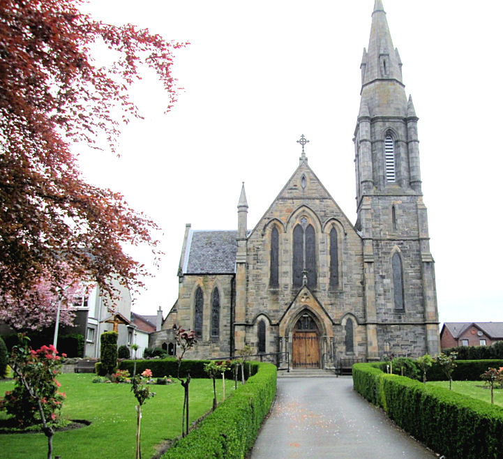
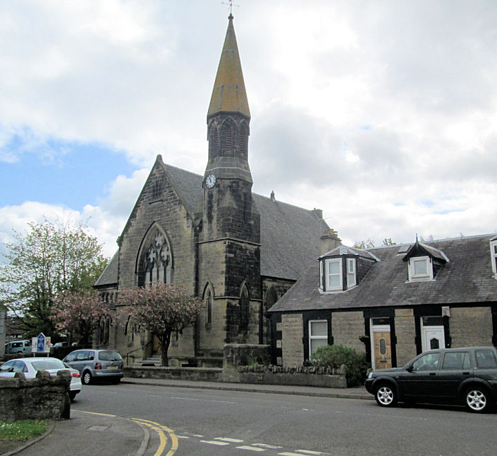
the Parish Church (CoS) on East Main Street. It post-dates a map of 1856, and is
shown as United Presbyterian on one of 1897.
PoWiS
dates it to 1880.
Another view. NT 0847 7226. The
Church Hall on Church Street looks as if it
could be a former church, though available maps suggest not. Can you confirm?
All © Jim Parker (2016).
Link.
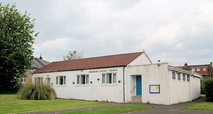
Broxburn Baptist Church off
Freeland Avenue.
PoWiS
dates it to 1946. NT 0670 7211. © Jim Parker (2016).
Link.
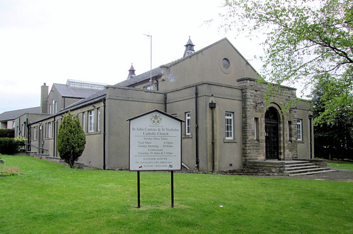
St. John Cantius and St. Nicholas
(R.C.) on West Main Street.
Another view. NT 0787 7224. Both © Jim Parker (2016).
Link.
Category B listed, where it's dated to 1881, with the spire added a few
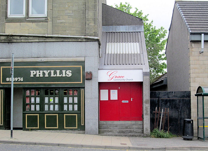
years later. Grace Community Church on
Greendykes Road. The former Hope Hall Evangelical Church (link)
used to meet here. NT 0826 7234. © Jim Parker (2016).
Link.
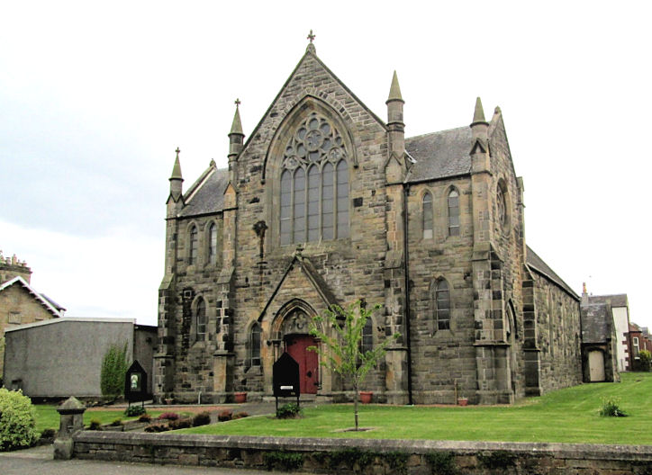
St. Nicholas United Free Church
on Station Road and Park Road. NT 0819 7203. © Jim Parker (2016).
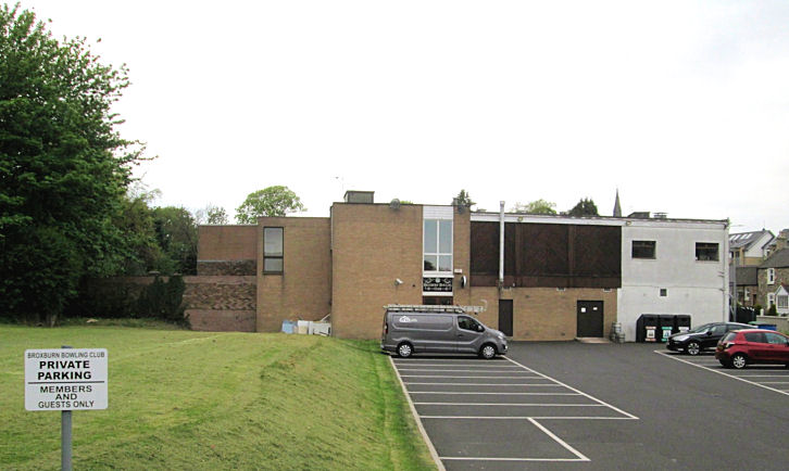
Link. Broxburn Healing Light (spiritualist) meet in the
Bowling Club off Station
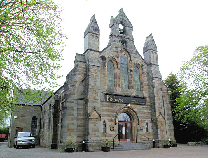
Road. NT 0810 7213.© Jim Parker (2016). The former West Cross Church
on West Main Street is now a funeral director's. It had been built before the
1856 map was surveyed (PoWiS
has 1855) - it's labelled there as a Free Church. NT 0806 7225. © Jim Parker (2016).
New Life Christian Fellowship meets in
the Strathbrock Partnership
Centre
(2025 Streetview) off West Main Street. NT 0727 7195.
Link.
East Calder, East Calder
Parish Church (CoS) on Main Street.
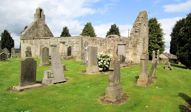
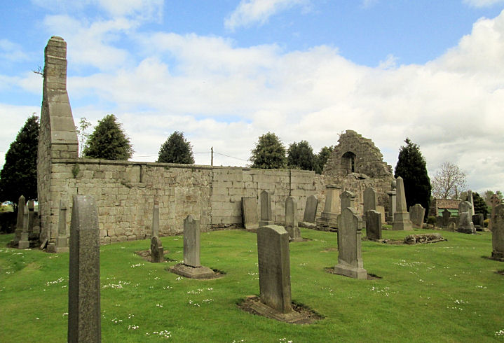
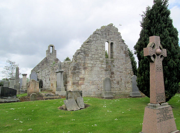
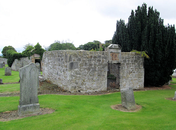
Link. The ruins of
St. Cuthbert on Main
Street. Two further views -
1,
2.
Link.
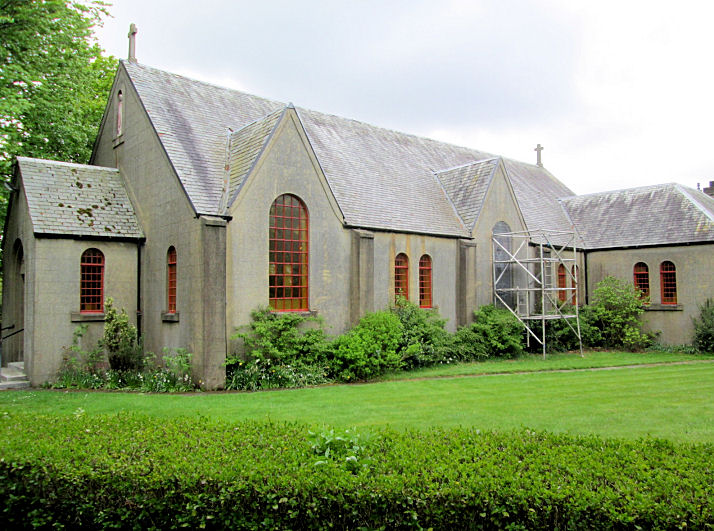
St. Theresa (R.C.) on
Main Street. Another view.
Link1.
Link2. All © Jim Parker (2016).
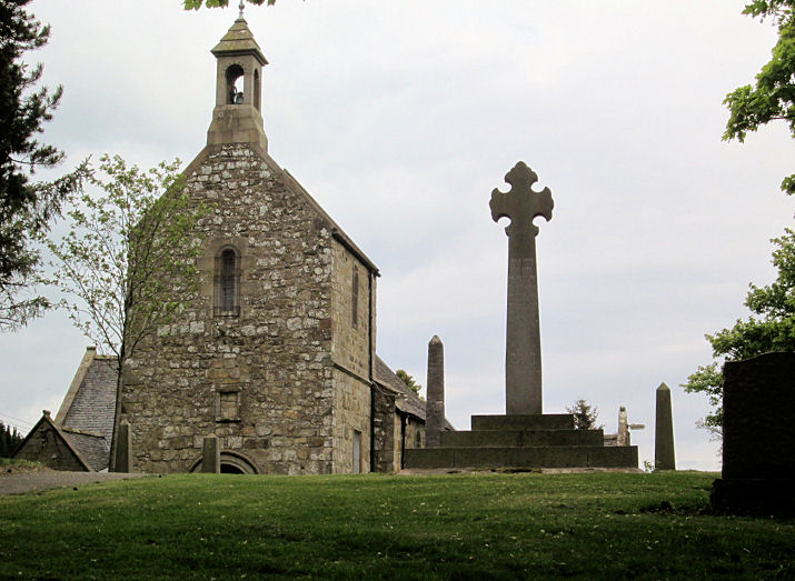
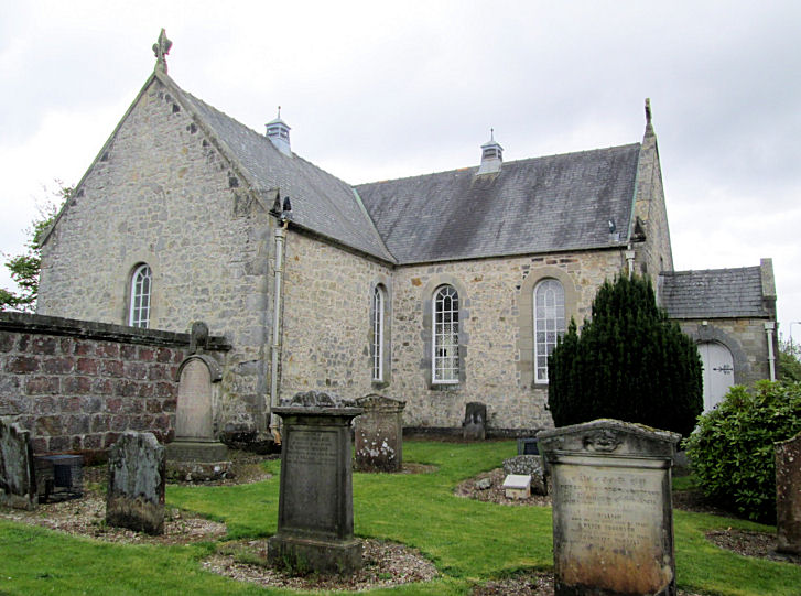
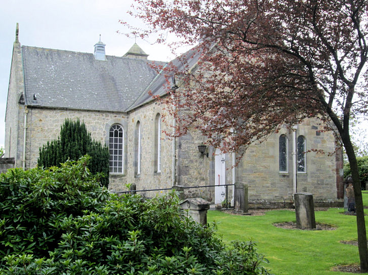
Ecclesmachan, Kirk of
St. Machan (CoS) on the B8046. It's now a part of Strathbrock Parish
Church. © Jim Parker (2016).
Link1.
Link2.
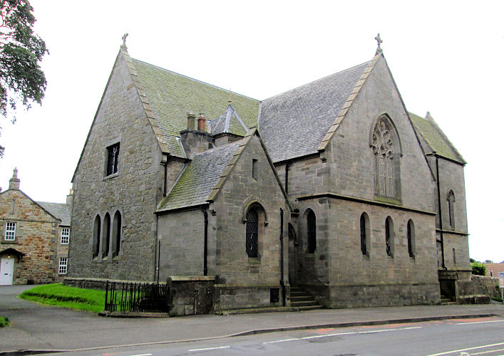
Fauldhouse, the Parish
Church (CoS, 1866) on Church Place.
Link. St. John the
Baptist (R.C.) on Main Street.
Link. Salvation Army on Blackfaulds Place.
Link.
All © Jim Parker (2016).
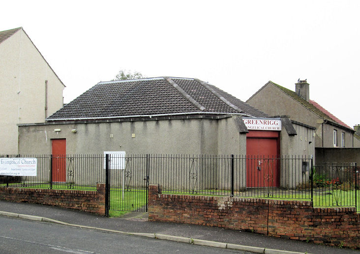
Greenrigg, Evangelical
Church on Burnbrae Road.
© Jim Parker (2016).
Kirknewton, Kirknewton and
East Calder Parish Church (CoS) on Station Road.
Another view.
Link.
The site of Kirknewton
Old Parish Church.
Another view. All © Jim Parker (2016).
Linlithgow.
Livingston.
Longridge, Longridge Parish
Church (CoS) on Main Street. © Jim Parker (2016).
Link.
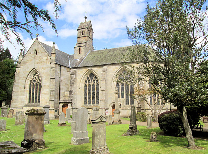
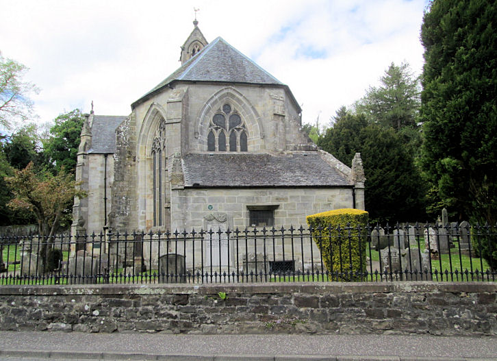
Mid Calder, Kirk of Calder
on Main Street.
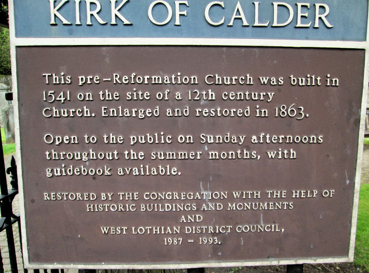
Another view. A
plaque gives a little
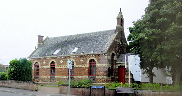
history. Can you advise whether
Glenalmond Hall, the
church hall, is a former church? All © Jim Parker (2016).
Link.
Philipstoun, the former
Philipstoun Main Street Pardovan Church, on Main Street. It's now in use
as a provate residence.
© Jim Parker (2016). Link.
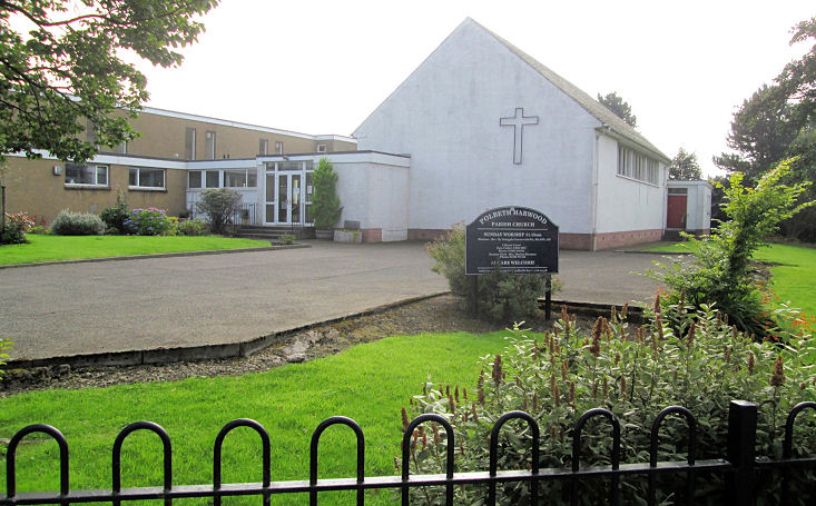
Polbeth, Polbeth and Harwood
Parish Church (CoS) on Chapelton Drive. © Jim Parker (2016).
Link.
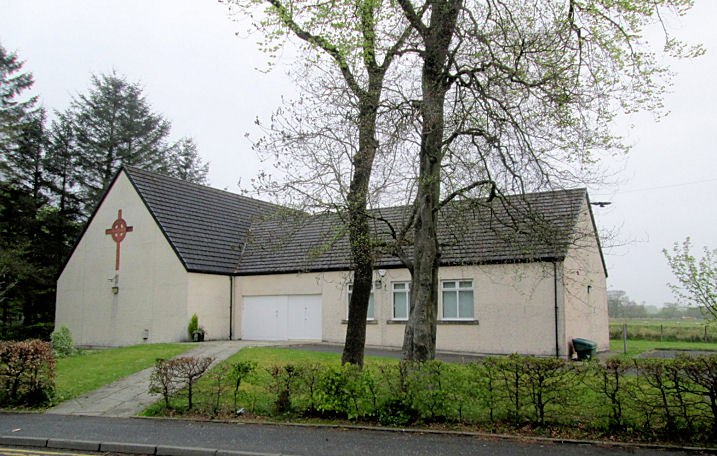
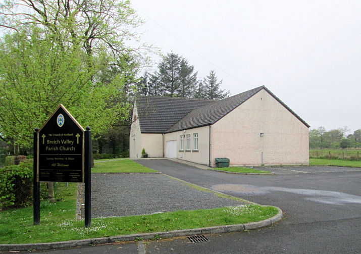
Stoneyburn, Breich
Valley Parish Church (CoS) on Cannop Crescent.
Another view.
Link (not working when
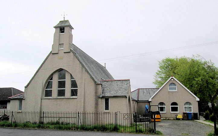
I tried it). The former
Stoneyburn Parish Church (CoS) on Main Street.
Link. Church of Our
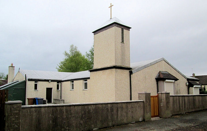
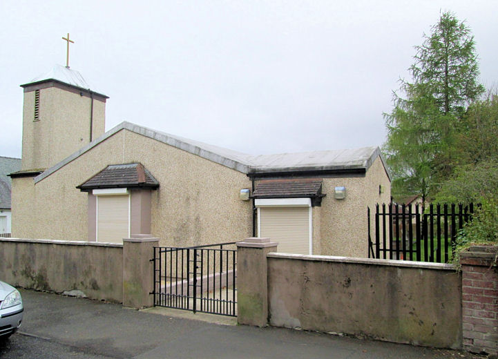
Lady (R.C.) on Burnbrae Road.
Another view.
Link. Stoneyburn
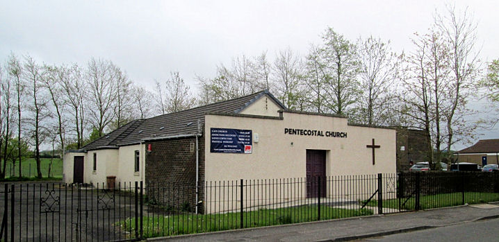
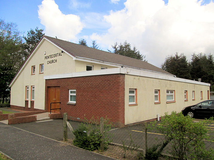
Pentecostal Church on Main Street.
Link. All © Jim Parker
(2016).
Uphall, Strathbrock Parish Church (CoS) on Ecclesmachan Road is the
former St. Nicholas Kirk. Another
view.
Link.
Uphall South Parish Church
on East Main Street. Link.
All © Jim Parker (2016).
West Calder, West Kirk
of Calder on West End.
Link.
The
ruins of Old West Calder
Parish Church on Kirkgate.
Another view.
Link1.
Link2. Limefield
United Free Church on Limefield Road.
Link. Our Lady and St.
Bridget's (R.C.) on West End.
Link. The
site of Harwood
Parish Church on Harwood Road.
Link, which includes illustrations of this vanished church, and its
predecessor. All © Jim Parker (2016).
Whitburn,
Whitburn South Parish Church (CoS) on Mansewood Crescent. Two further
views - 1,
2 and the
church hall.
Link.
Brucefield
Church (CoS) on East Main Street. The
church
hall, which looks as if it could be a former church.
Link.
St. Joseph
(R.C., 1979) on Raeburn Crescent.
Link. The
site of
the former St. Joseph's church (1939), which stood on Armadale Road.
Link. Whitburn
Pentecostal Church on Reveston Lane.
Link.
Whitburn West End
Gospel Hall on West Main Street.
Another view.
Link. All © Jim
Parker (2016).
|