The Churches of Britain and Ireland
| Clackmannanshire Clackmannanshire on Wikipedia.
Clackmannan, the Kirk (CoS) on High Street, as seen by Streetview in 2023.
NS 9099 9184. Link, with a
history here.
Category B listed, wherein it's dated to 1815, though it stands on an
ancient site. A former Free
Church (2023 Streetview), later United Free, stands between Alloa Road, Kirk
Wynd and Mayfield Crescent. It's mentioned on the history page of the Kirk as
dating from 1843. It's now a Masonic Hall. NS 9103 9213. The
site of a demolished
United Presbyterian Church (originally a Relief
Church, of 1788), as seen by Streetview in 2023. It stood on North Back Street
and Kirk Place, and large scale maps show it to have had an interesting shape -
a sort of stretched octagon. A map of 1956, revised in 1946, show that it had
been demolished by then. NS 9110 9197. A little way south of the town is a
property called Chapelhill, and to its south is Chapel Well. This
source mentions a Chapel Site at NS 9129 9127,
saying that there may have been visible remains in the 1930's. There's nothing
further. The grid ref. points to the middle of the field seen in a
Streetview from 2009.
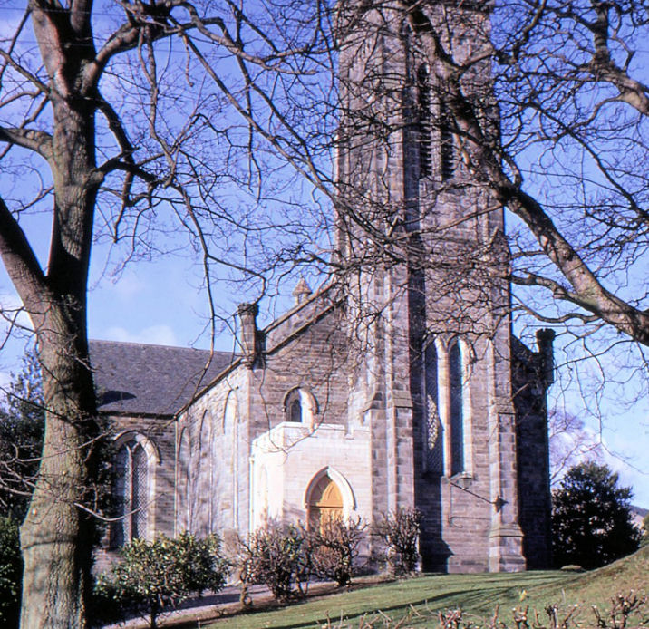
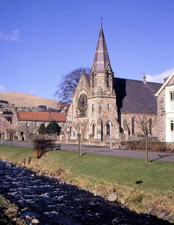
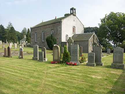
Link. Dollar, the Parish Church (CoS) on Manse Road. NS 9641 9802. © Alex Parker. Link. Category B listed wherein its dated to 1841, by Tite. The roofless remains of the Old Parish Church stand a little way north at NS 9637 9809. Not well seen by Streetview in 2021, some photos can be seen on its Canmore entry. Category B listed. East Burnside Church Hall (for the Parish Church) on East Burnside was formerly a United Presbyterian Church. Its very brief category C listing dates it to circa 1842. NS 9634 9805. © Alex Parker. A former Free Church stands on Harviestoun Road at NS 9588 9790. Its category C listing, which calls it West Church, dates it to circa 1870. It was for sale when seen by Streetview in 2023. St. James the Greater (Episcopal) stands further west on Harviestoun Road and Mylne Avenue at NS 9579 9802. It was seen by Streetview in 2023. Link. Its category C listing just dates it to the late 19th century - Genuki says it was "founded in 1882". Fishcross, the site (2021 Streetview) of a church shown (but not otherwise identified) on maps of the early 20th century. NS 8990 9540. Menstrie, the Kirk on Main Street East, as seen by Streetview in 2023. NS 8497 9645. Link. Early 20th century maps show a U.P. Mission Hall at the western edge of the village at NS 8454 9694. Today it's Menstrie United Free Church of Scotland, and it was seen by Streetview in 2023. Link. New Sauchie, Sauchie and Coalsnaughton Parish Church (2023 Streetview) on Main Street. Its Category C listing dates it to 1841-2, although this source says that in "1835, a church was already under construction in Sauchie". NS 8972 9451. Sauchie and Fishcross United Free Church (2015 Streetview). It stands on Church Grove at NS 8908 9399. Link. Pool of Muckhart, Muckhart Parish Church (CoS). It's dated to 1838 in its category B listing. NO 0007 0097. © Martin Briscoe. Link.
Tillicoultry.
|
||
15 February 2025
© Steve Bulman