The Churches of Britain and Ireland
|
St. Philip's, St. Philip's Marsh and The Dings St. Philip's Marsh on Wikipedia.
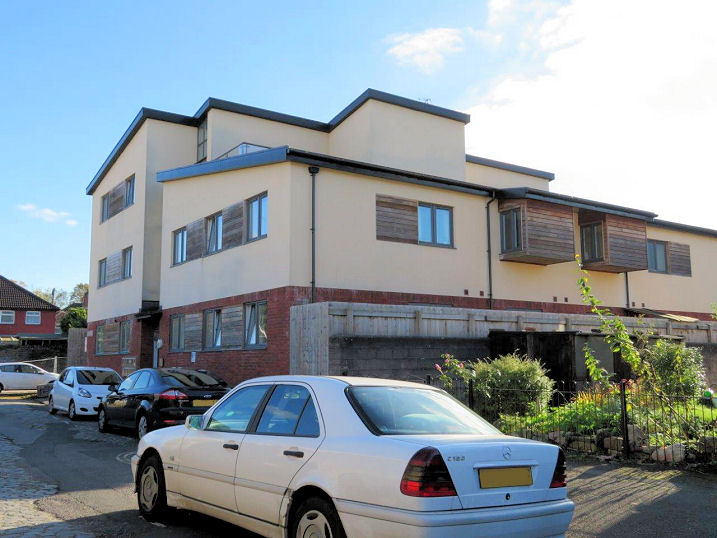
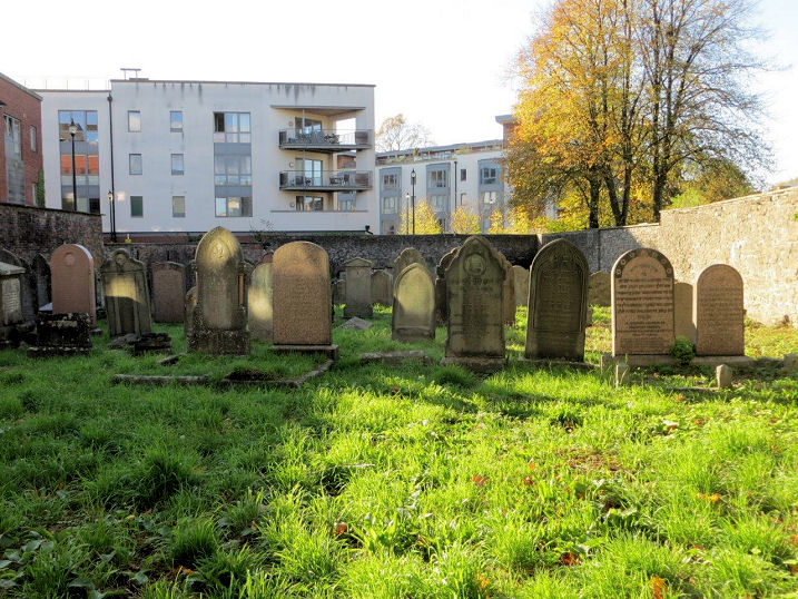
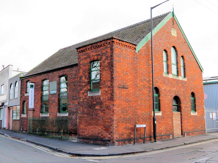
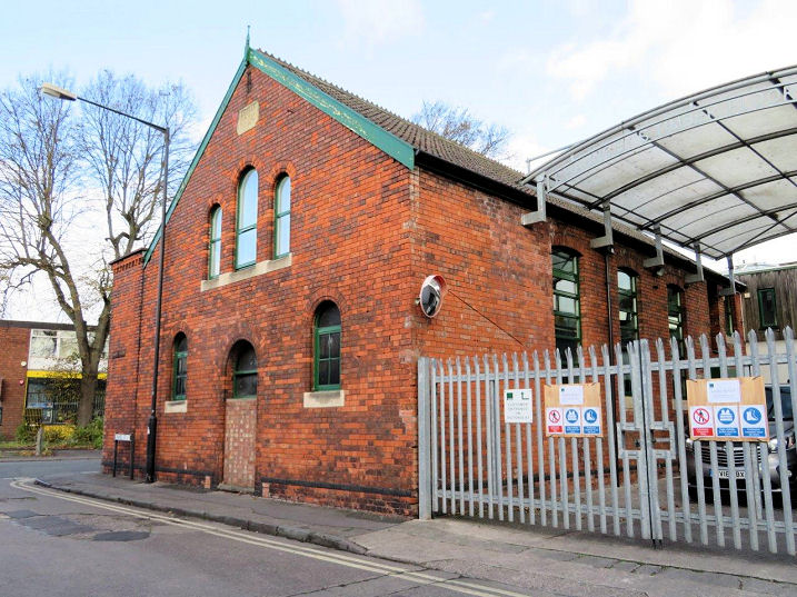
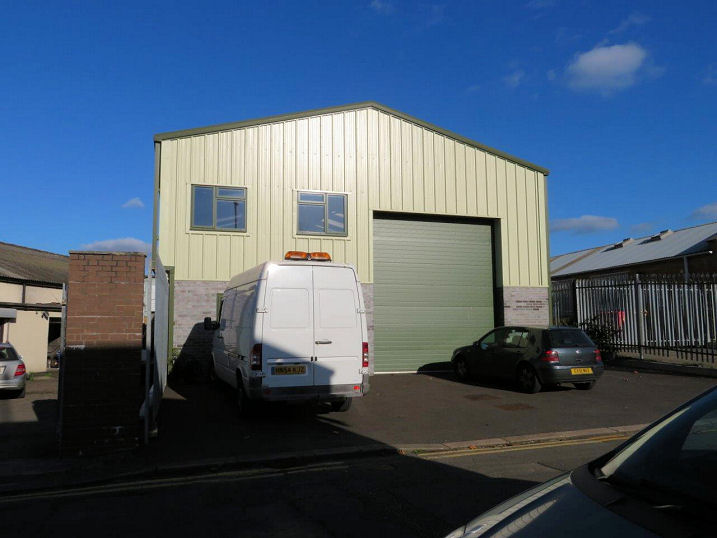
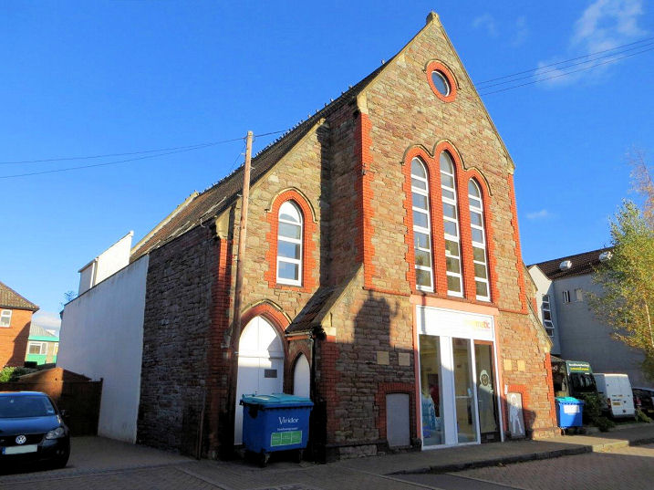
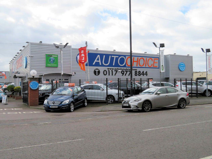
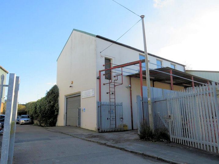
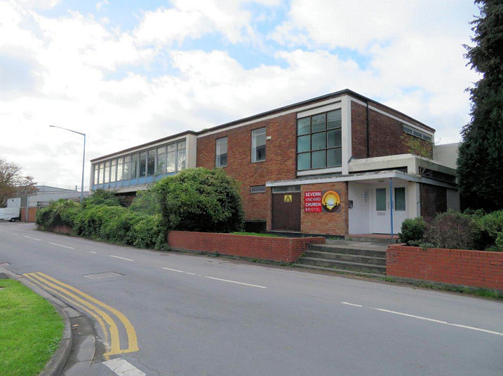
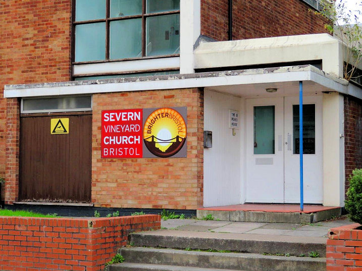
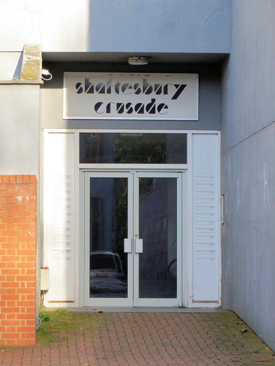
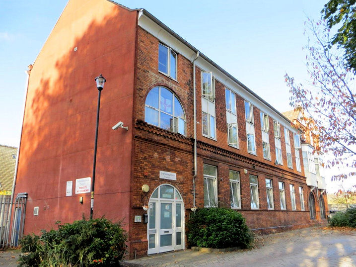
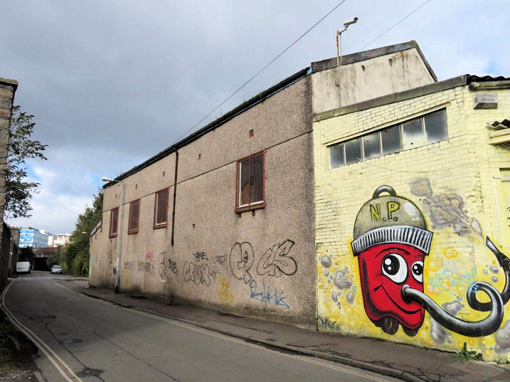
Emmanuel Church [or Emmanuel (the Unity)] was built in 1863 at the junction of Clarke Street (now Midland Road) and Barton Road in The Dings. Made redundant in 1937, it was demolished in 1939 as part of a slum clearance campaign. The site now lies beneath a business car park. ST 59997 72958. Emmanuel Parish Hall on Union Road is listed on the Gloucestershire Places of Worship website lists it as a place of worship in its own right. Built before WW1, it was presumably closed at the same time as the church. Later used for industrial purposes, it survived to circa 2008, when it was demolished and replaced by a block of flats. ST 60023 72884. Both © Carole Sage (2017). Photos are both buildings are available here. A Jewish Burial Ground was established in St. Philip's in 1740, the last internment taking place in 1944. Old maps show a small building, which may have been a mortuary chapel. Can you confirm if this is correct? ST 59953 72843. © Carole Sage (2017). The former Jubilee Room (1887) stands at the junction of Chapel Lane and Victoria Road (previously Marsh Road). A plant from Bristol City Mission, it was closed in 1942, but the building was taken over by the congregation from the nearby St. Philip's Marsh Methodist Church. There are conflicting dates for the final closure of this building as a church (the Church Crawler website says 2002 - see the Chapel Street Mission entry here - scroll down), but it's now in commercial use. Another view. ST 60124 72279. Both © Carole Sage (2017). Kingsland Congregational Church was founded before 1839 on Kingsland Road (now Kingsland Close) in The Dings. It closed in the early 1950's, and used for storage, until it was demolished in 1980, and small industrial or storage building erected on the site. A photo of the church is available here (scroll down). ST 60074 72938. © Carole Sage (2017). The former Mission Hall on Union Road. Built in the 1870's, there is a reference to it as being a Mission of St. Silas on Feeder Road in 1903, and it continued in use as a Mission until after WW2, but when it closed is uncertain. It's now in use as offices. ST 60133 72786. © Carole Sage (2017). The site of St. Silas. Originally built in 1867 on what was then Feeder Road, inadequate foundations soon caused structural problems, and it was closed in 1872. A second church was built on the site, and this opened in 1878. The church was destroyed by bombing in 1941, and the area redeveloped after the war. A car dealership now occupies the site. Despite efforts from Carole and myself, there appear to be no photographs of it on-line. ST 60394 72428. After the church was bombed, the congregation used a former Day School off York Street (now Barton Manor) as a temporary church. This closed in the 1950's, and the area subsequently redeveloped. A building belonging to Mawdesley's Pump Services stand on the site, and the 2015 O.S. map marks it as "The Old School House", implying that the building survived the redevelopment, though it's unrecognizable as being a former school. ST 60094 72949. Both © Carole Sage (2017). St. Silas's Church Mission Hall stood on Grafton Street. Built between 1903 and 1914, it replaced four terraced houses and their rear yards. Grafton Street itself has gone, and the building seems to have survived at least as long as 1951, and perhaps 1970, but it was eventually demolished, and a car dealerships car park built on the site. ST 60138 72325. © Carole Sage (2017). Severn Vineyard Church holds mid-week services in The Power House, a former electricity company office on Feeder Road. Another view. Sunday services are held in a former fire station, for which see Severn Vineyard Church in the main section, above. ST 60715 72416. Both © Carole Sage (2017). Link. Shaftesbury Hall (aka Shaftesbury House) stands on Kingsland Road and Oxford Street in The Dings. It was built as a Shaftesbury Crusade, a Congregational Mission from Redland Park Congregational Church in the late 19th century - and the building still retains its original name. The Mission moved to alternative premises in the 1950's, and the building is now mainly used by a charity caring for homeless people, though a congregation still holds services here - The House of Restoration Church (Bristol) meet on Friday and Sunday (link). Another view. ST 60162 72775. All © Carole Sage (2017). The site a United Methodist Chapel, on Gas Lane. Dating from the mid-19th century, maps show it being active until an edition of 1949. By 1951 a building on the same site is shown as "Warehouses". Whether this is still the original chapel building is not known at present. Another view. ST 60148 72592. Both © Carole Sage (2017).
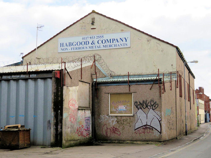
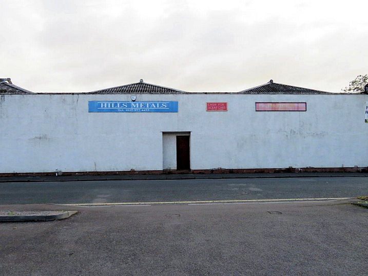
Victoria Chapel on Marsh Road was built as Wesleyan, founded in 1883.
Probably a "tin tabernacle". it was subsequently known as Victoria
Road Methodist Church, and later still St. Philip's Marsh
Methodist Church. The congregation moved to the recently vacated
Jubilee Room (see above) in 1942, and by the time of the 1951 O.S. map
the old church had fallen into ruin. The
site where the church
stood is now a scrap metal dealership. No photographs appear to be
available on-line. ST 60123 72218.
© Carole Sage (2017).
|
||
13 October 2023
© Steve Bulman