The Churches of Britain and Ireland
| Somerton,
Somerset
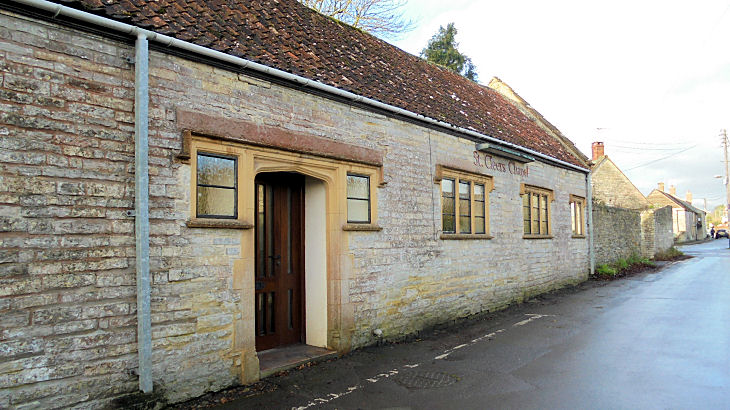
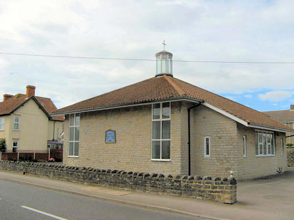
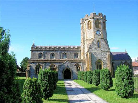
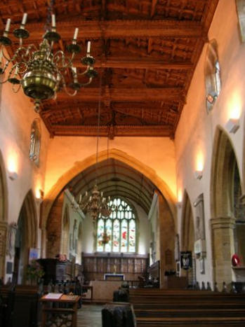
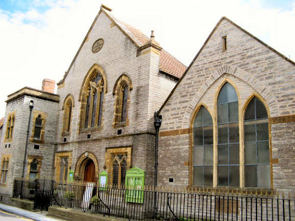
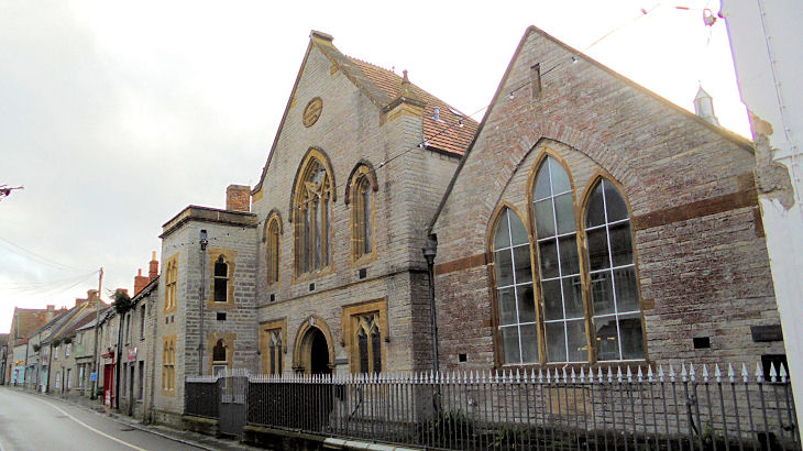
A Gospel Hall shows on a map of 1974, on the east side of Northfield. A 2009 Streetview shows the site, the change in colour of the roadway marking the line of the frontage of the building. The Methodist Church (1845) off West Street shows on older maps as Wesleyan. The U.R.C. congregation moved here when their church was closed, and the Methodist Church has been re-named as West Street Church. ST 4895 2855. © Graeme Harvey. Link. Grade II listed. A Mission Hall is shown on the 25" O.S. map of 1887, at ST 4837 2867. Later labelled as a Salvation Army barracks, its site can be seen here on a 2015 Streetview. The bungalow frontage is about in the same place as that of the chapel, which stretched quite a long way back, its long axis at right angles to the road. St. Cleer's Chapel (independent evangelical) on Polham Lane. Circa ST 483 281. © Chris Kippin (2020). Link. St. Dunstan (R.C.) on Langport Road. ST 4829 2867. © Graeme Harvey. Link. St. Michael and All Angels. Its splendid wooden ceiling. Interior view. ST 4904 2862. All © Carole Sarvis. Link. Grade I listed. A number of monuments, the churchyard boundary wall, etc., are listed separately here, and they can be found here. U.R.C. on Pesters Lane was previously Congregational. ST 4892 2849. © Graeme Harvey. Since Graeme took his photo, the church has been closed, and converted to residential use. Another view, © Chris Kippin (2020). Grade II listed, wherein it's dated to 1807. Zion Chapel (Bible Christian) on Sutton Road. ST 4865 2849. © Chris Kippin (2020).
|
||
04 March 2023
© Steve Bulman
Contact Details