The Churches of Britain and Ireland
| Selby, North Yorkshire
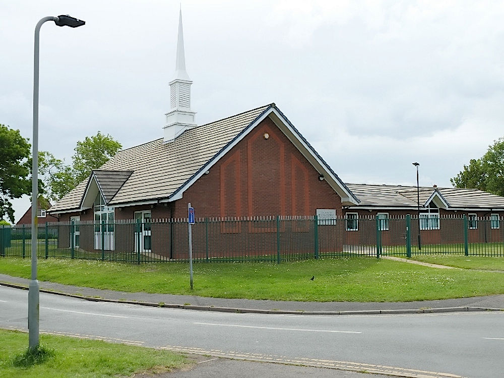
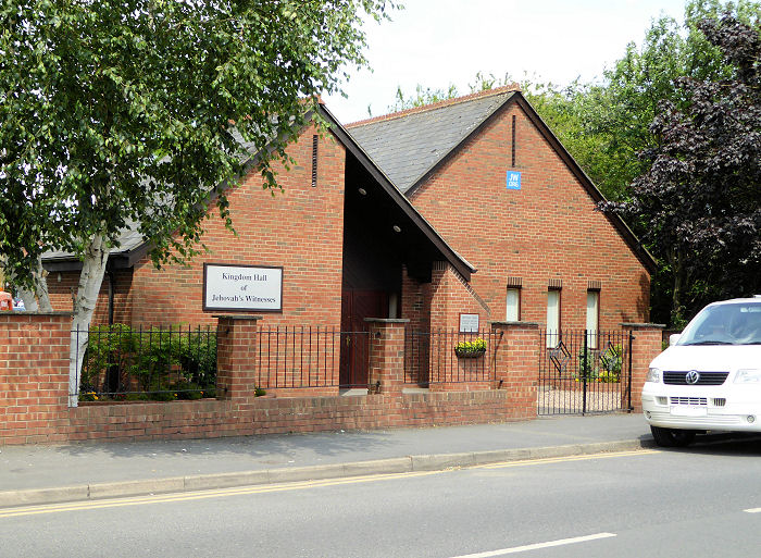
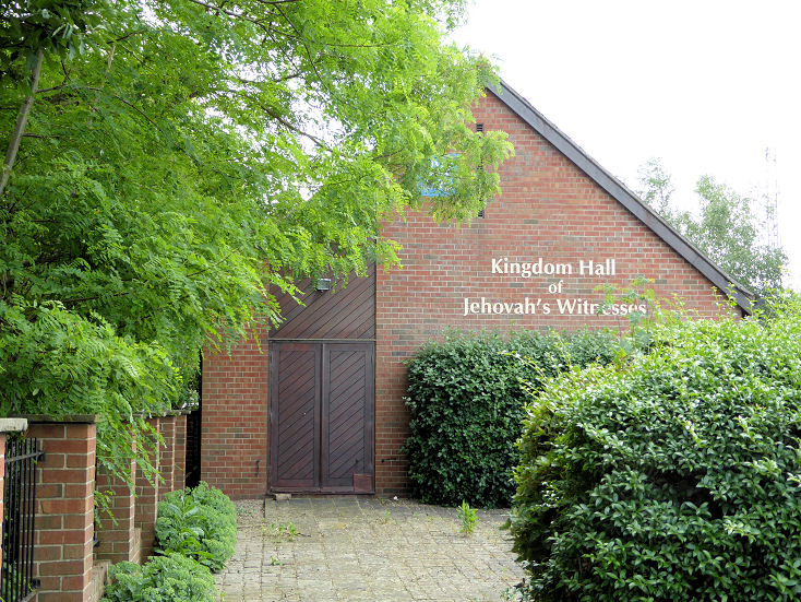
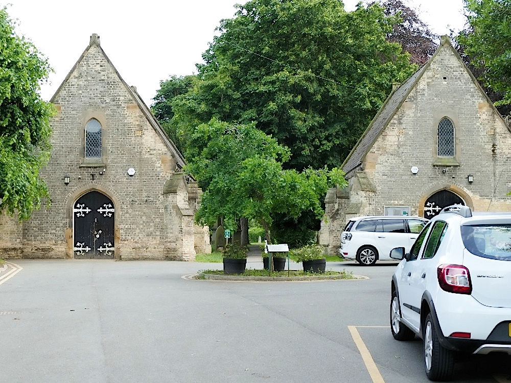
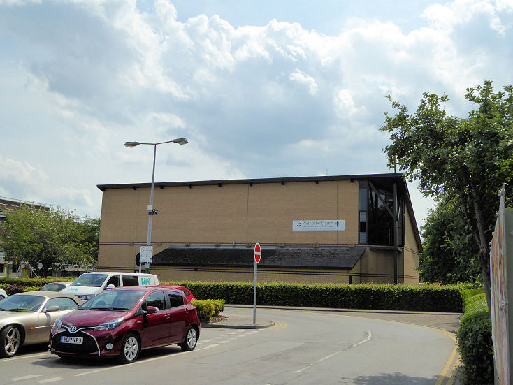
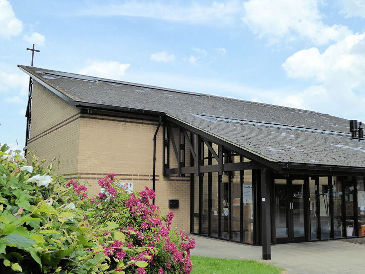
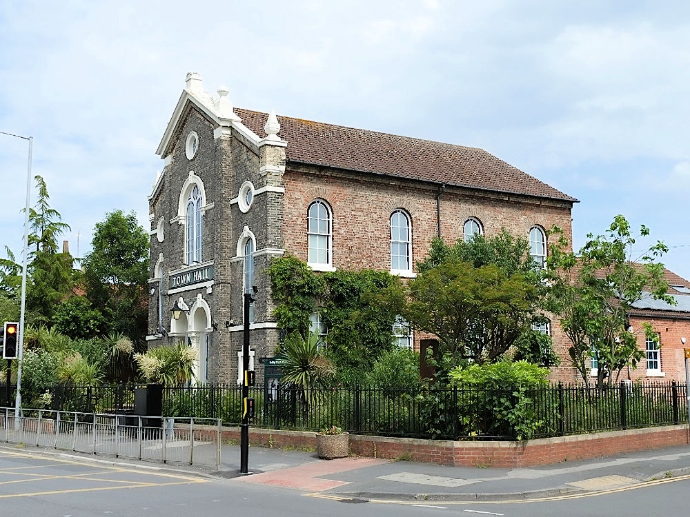
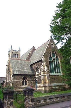
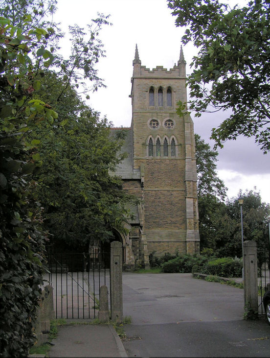
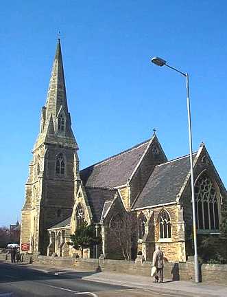
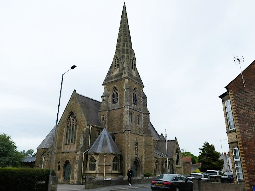
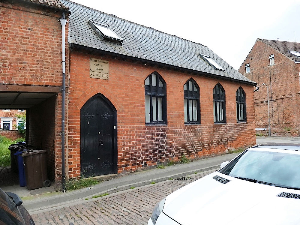
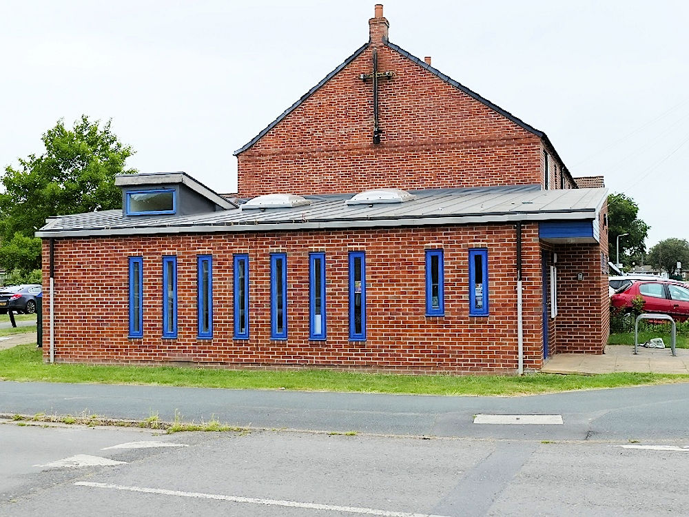
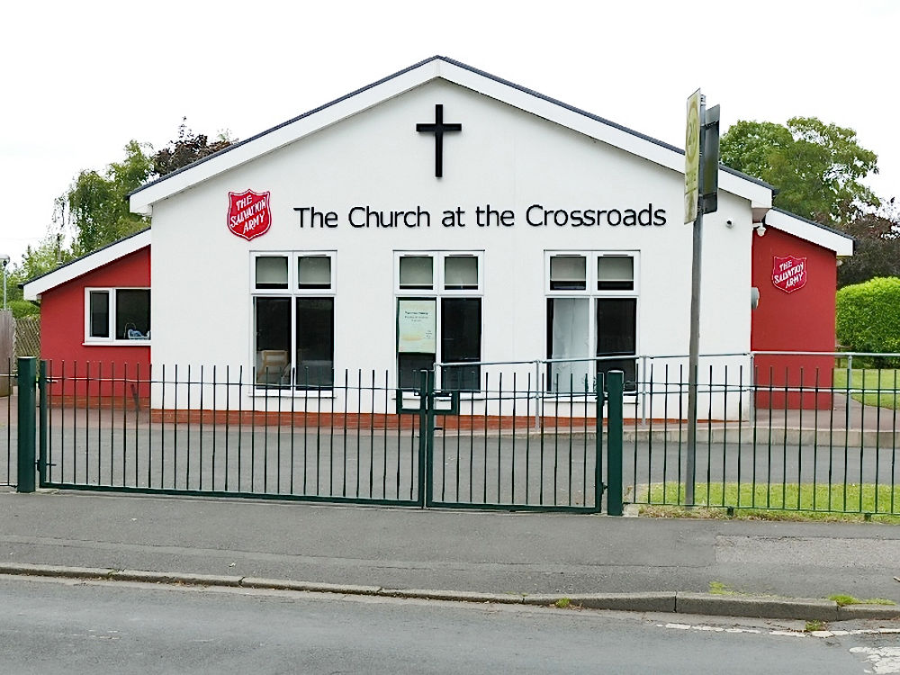
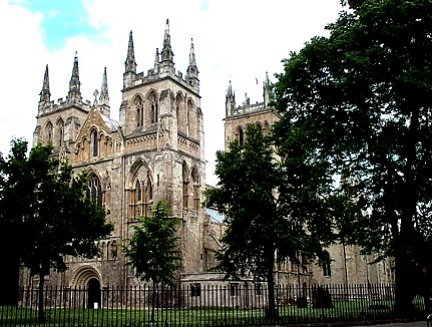
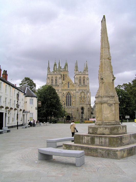
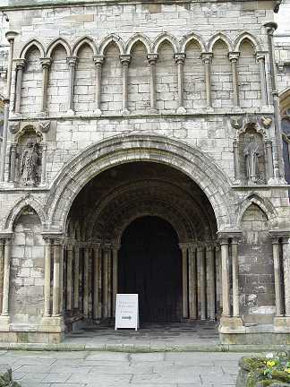
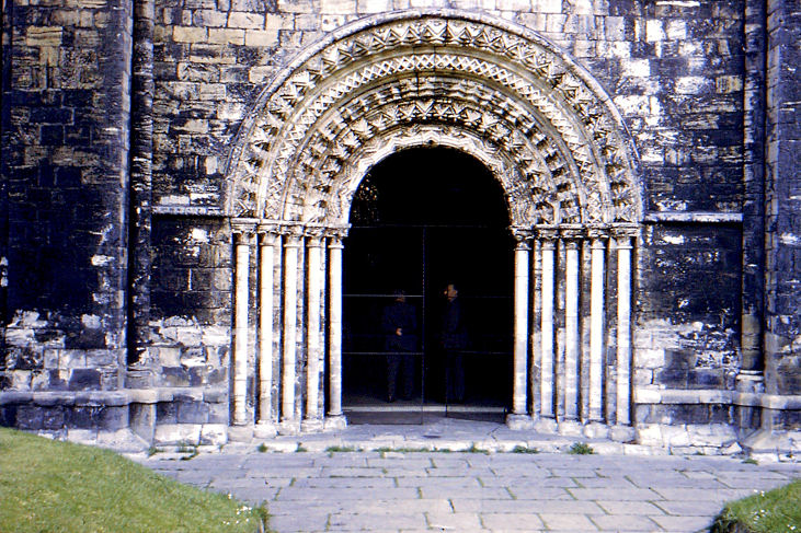
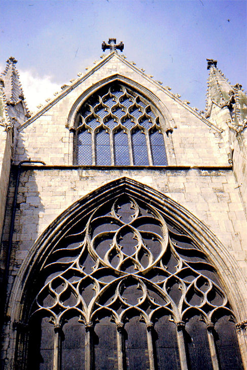
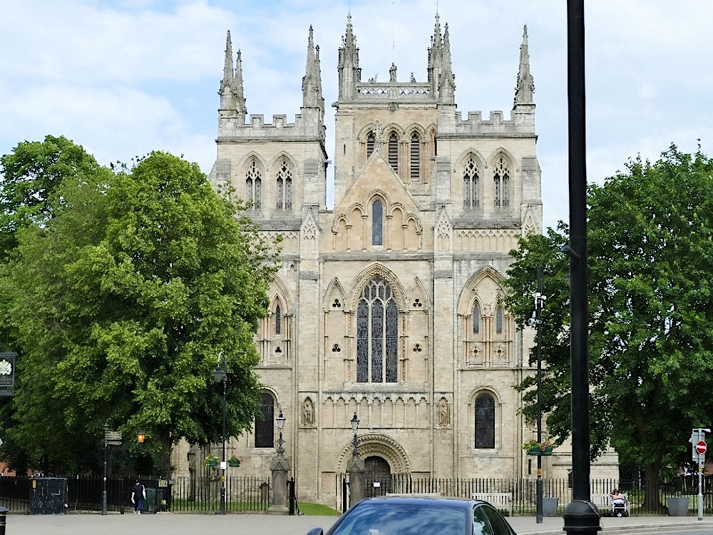
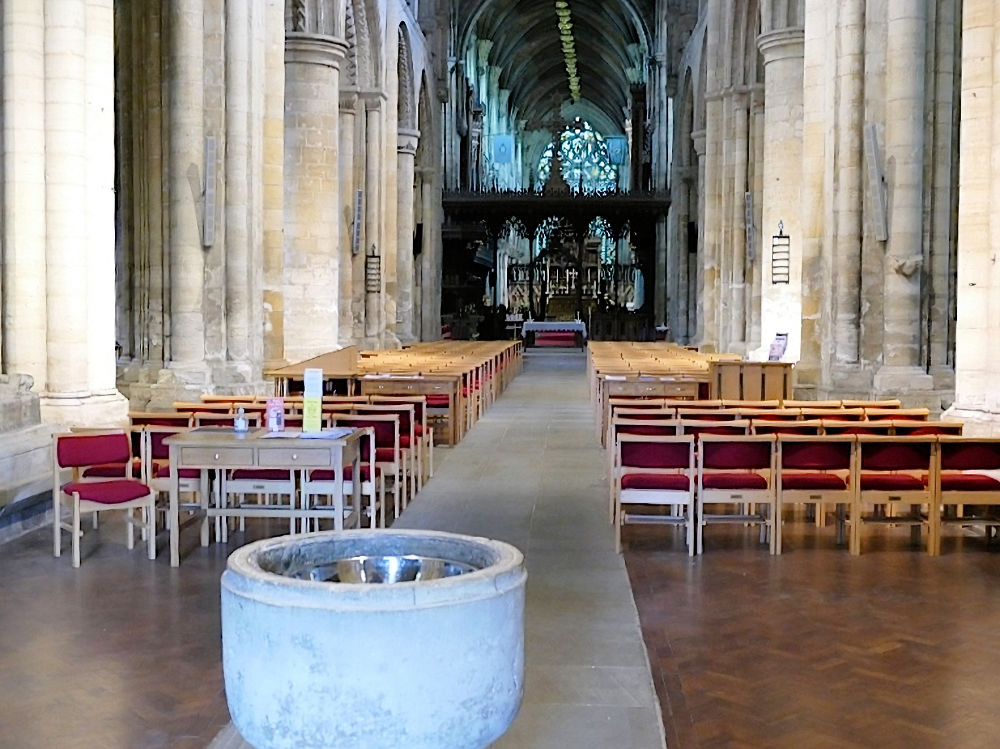
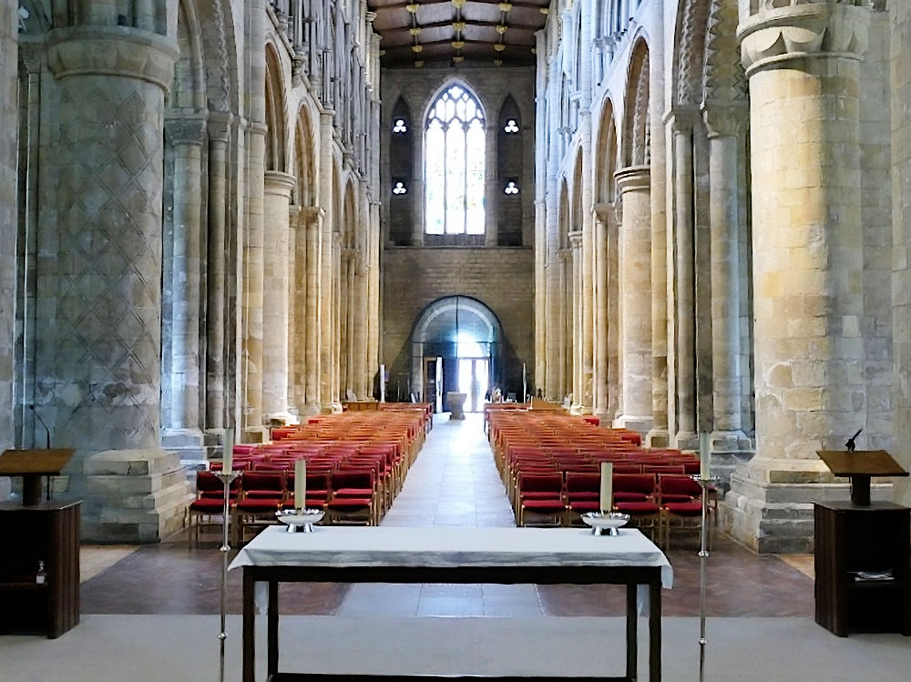
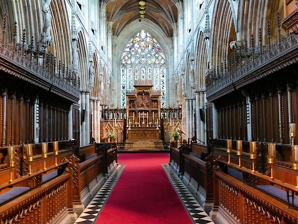
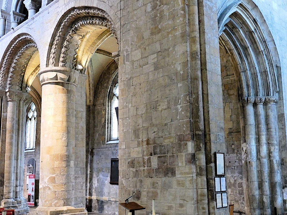
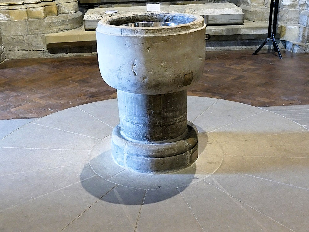
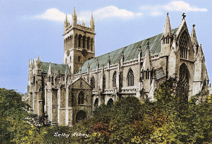
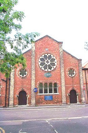
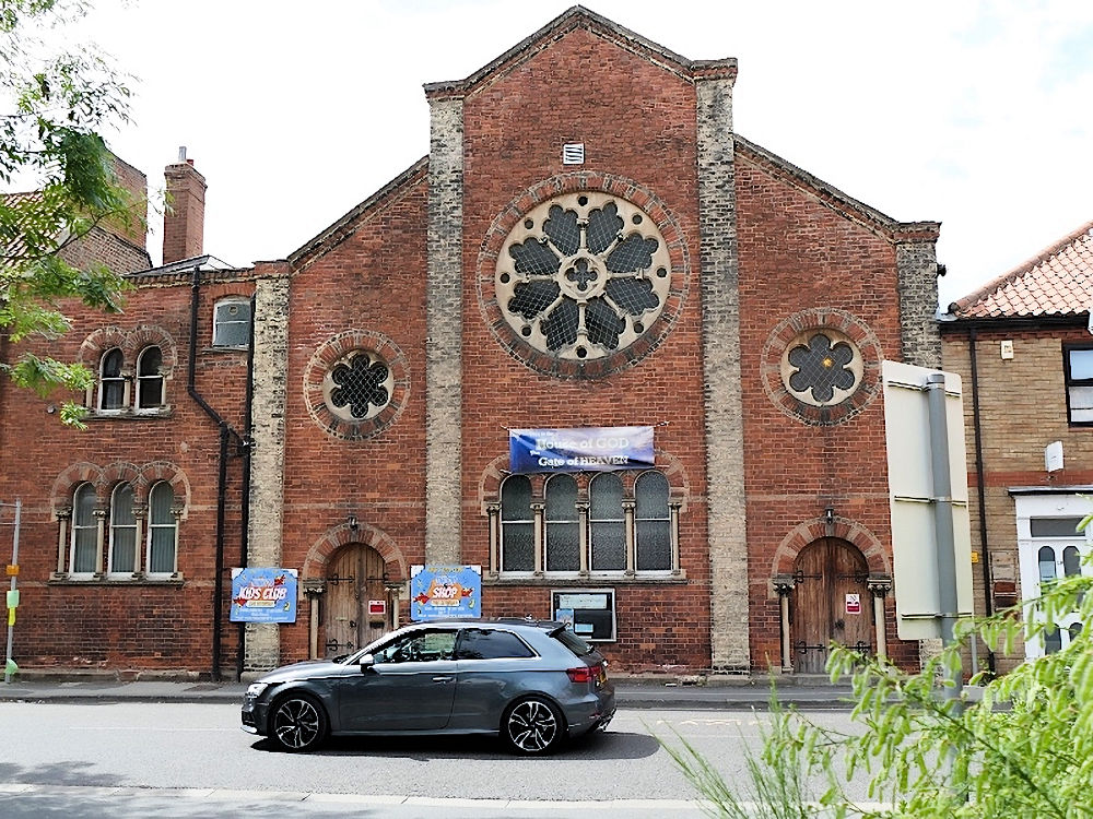
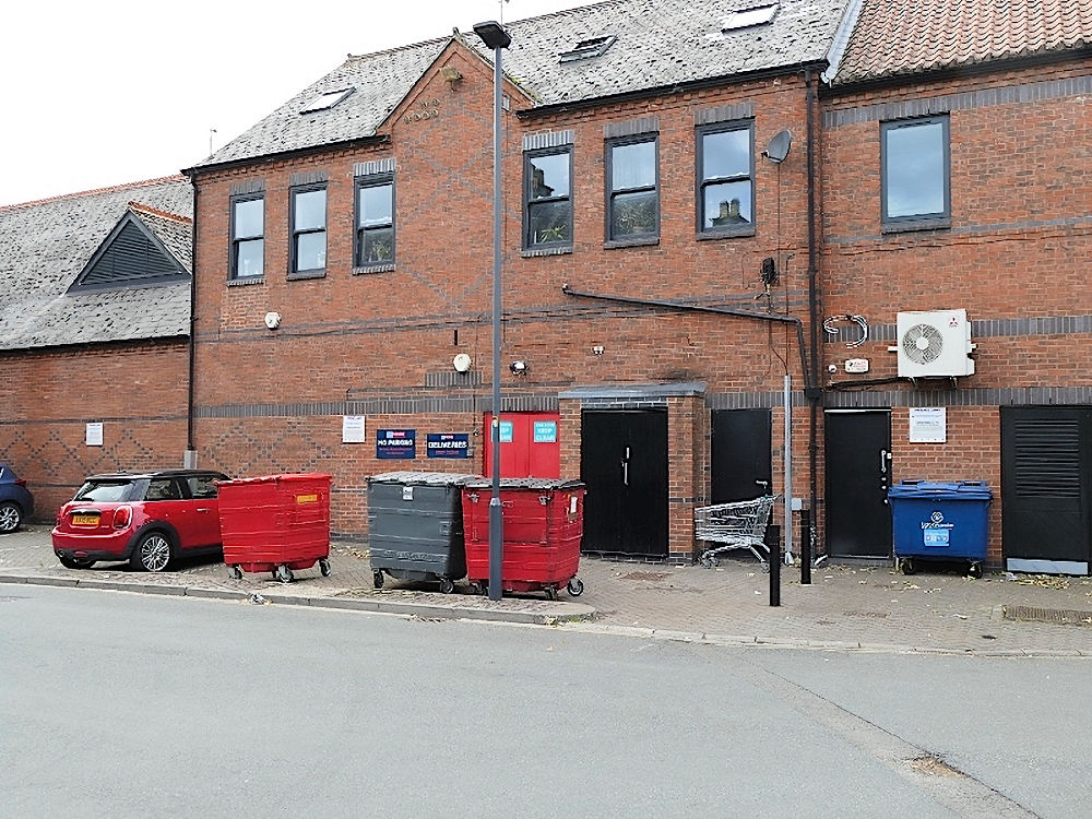
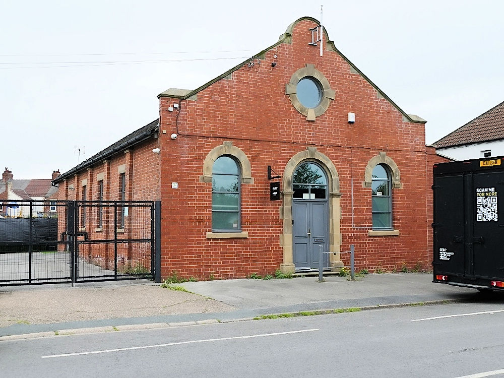
Kingdom Hall of Jehovah's Witnesses on Portholme Road. Another view. SE 6150 3203. Both © Janet Gimber (2017). King's Church - see the U.R.C. entry below. The cemetery on Westfield Road has two Mortuary Chapels - Church of England (left), Nonconformist (right). SE 6093 3153. © David Regan (2026). Portholme Methodist and U.R.C. (1984) on Portholme Road. Another view. SE 6144 3203. Both © Janet Gimber (2017). Link. Selby Town Hall on Brook Street and Gowthorp is a former Primitive Methodist Chapel. It's dated here to 1862, closing in 1956, and it also says that it was preceded by an earlier chapel of 1840 "in a yard off Gowthorpe". SE 6116 3226. © David Regan (2026). St. James the Apostle on New Lane. The church used to have a spire - knocked down by the R.A.F. during WWII. An aerial photo of it with spire can be seen here, the story of the crash here, and a photo from the ground immediately post-crash here. SE 6129 3220. © Bill Henderson. Another view, © John Bowdler. Link. Grade II listed. St. Mary (R.C.), on Leeds Road. SE 6090 3216. © Bill Henderson. Another view, © David Regan (2026). Link1. Link2 - dates it to 1856. Grade II listed. The 1" O.S. map of 1954 shows a place of worship on Millgate, at SE 6134 3267. It was St. Michael's Chapel, which has a date-stone which says "St. Michael's Chapel 1699, Rebuilt 1903". Genuki says it was Presbyterian, later Unitarian. © David Regan (2026). Genuki has an entry (including a photo) for St. Richard's Chapel. It had an enormous tripod straddling the church, topped with a cross. It stood on Barwic Parade at SE 6225 3146. It was also seen by Streetview in 2008, at which time it was looking somewhat careworn. Certainly by 2010 it was derelict, so described in a local newspaper item, which also mention the intention of demolishing it, and using the site for housing and a Mission Hall, which Streetview shows to have been built by 2015. © David Regan (2026). The Salvation Army Church (The Church at the Crossroads) on Parkin Avenue. It was built as St. Patrick (R.C.) in 1956, chapel of ease to St. Mary, and closed in 2005. SE 6218 3158. © David Regan (2026). Link. Selby Abbey, or the Church of St. Mary and St. Germain. SE 6157 3238. © Bill Henderson. Another view, © John Bowdler. The north doorway, © Steve Bulman, the west doorway and the top of the east (Jesse) window, both © Christopher Skottowe (1961). Another view, four of the interior - 1, 2, 3, 4, and the font, all © David Regan (2026). An old postcard view, from Janet Gimber's Collection. Link. Grade I listed. U.R.C. on New Lane was, originally Congregational. SE 6134 3227. © Bill Henderson. Its grade II listing dates it to 1865. No later than 2017 it had become King's Church, and so it remains in 2026, © David Regan (2026). Link. Old maps mark a chapel on James Street at SE 6144 3227. This was a Wesleyan Methodist Chapel, whose 1979 grade II listing dates it to 1882. Despite its listed status, it had evidently been demolished before the first Streetview visit in 2008 when new buildings were in situ. © David Regan (2026). The 1" O.S. map of 1954 shows a place of worship on Denison Road, East Common, at SE 6220 3183. An earlier map (1945) labels it as a Sunday School. The earliest Streetview (2008) shows that it was in secular use by that time. Can you say what church this was? © David Regan (2026).
|
||
13 June 2026
© Steve Bulman