The Churches of Britain and Ireland
|
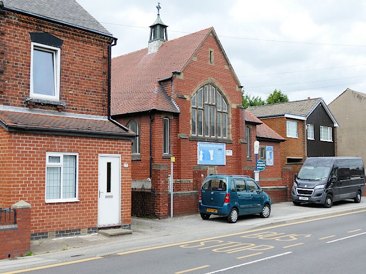
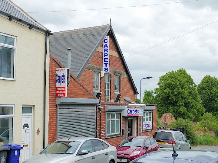
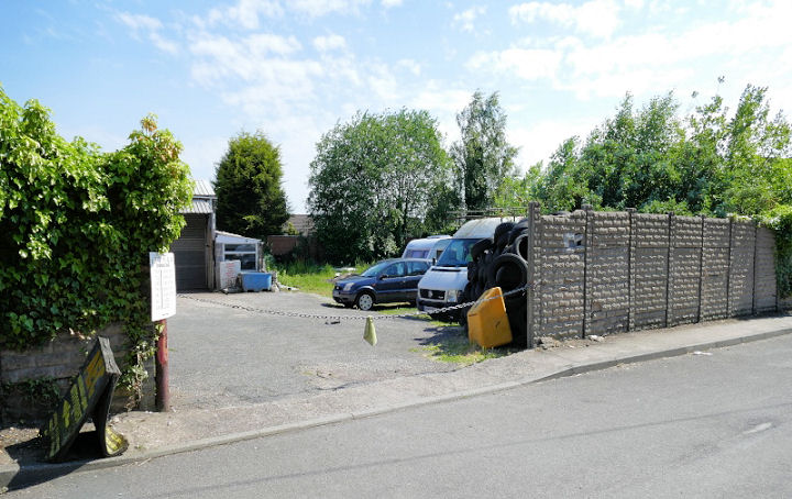
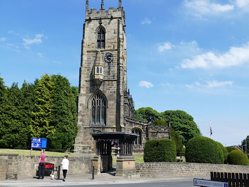
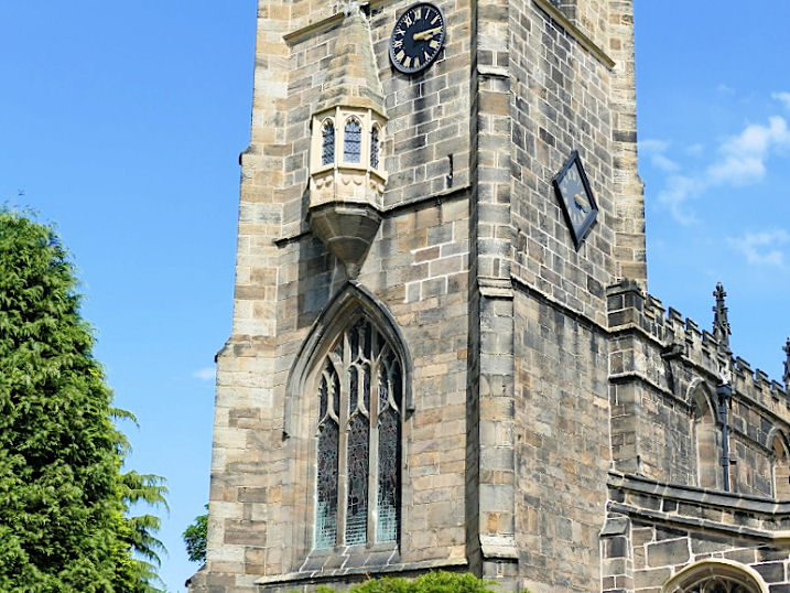
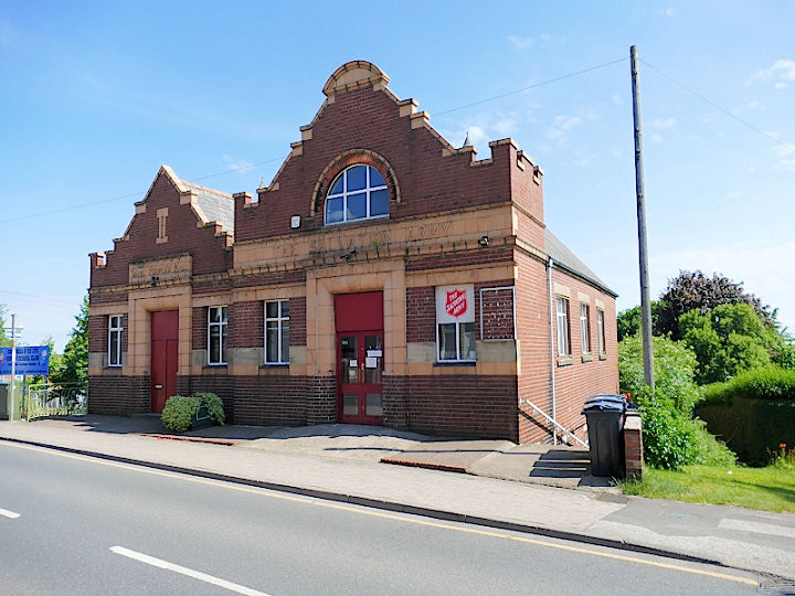
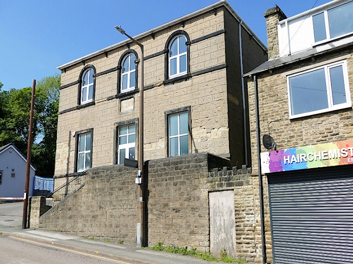
Royston, South Yorkshire Bethel Community Church on Royston Lane. This source dates their move to this former cinema to 1985, having previously met in the former Wesleyan Methodist Chapel on Station Road (for which, see below) from 1924. SE 3649 1109. © David Regan (2022). Link. A Catholic Church once stood on Godley Street at SE 3695 1162. It seems to have been fairly short lived, showing on maps from 1914 to 1930. It has been replaced by housing, seen on a Streetview from 2021. The former Methodist Church on Midland Road was built as Primitive Methodist, and is dated here to 1932-2016. SE 3638 1161. Its immediate predecessor stands on New Street, and is dated to 1889. It's now in commercial use. SE 3618 1138. Both © David Regan (2022). The site of a Mission Church on West Street. It first appeared in the years before WWI. It may be the Mission Room mentioned here (scroll down). SE 3686 1184. © David Regan (2022). St. John the Baptist. Another view. The oriel window is a most unusual (but not unique) feature. SE 3642 1124. All © David Regan (2022). Link1. Link2. Grade I listed. The Salvation Army Church on Midland Road is dated here to 1911. It also details their previous buildings, a wooden hut on Rowland Street from 1891, and they then rented the former Wesleyan Chapel (for which, see below) on Station Road from 1897. SE 3662 1168. © David Regan (2022). Link. The former Wesleyan Methodist Chapel on Station Road (then called Chapel Hill) dates from 1804. SE 3616 1149. It was succeeded in 1896 by St. Matthew's Chapel on High Street, now in commercial use. It was closed in 1975. SE 3612 1137. Both © David Regan (2022). Link. The site (the back garden of a house on the north side of Midland Road) of the demolished Wesleyan Reform Union Chapel. This source dates it to 1920 - circa 1962, and says it was a "former Army hut", so presumable wooden. SE 3707 1173. The same source mentions its predecessor, as a building rented from the Miners' Federation, in use from 1912. Its site is possibly here on Poplar Terrace, a short way north of the later church, which is marked as Institute on a map of 1912. Circa SE 3700 1180. Both © David Regan (2022).
|
||
04 March 2023
© Steve Bulman
Contact Details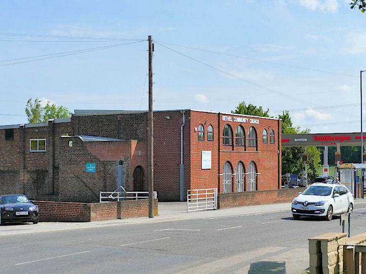