The Churches of Britain and Ireland
|
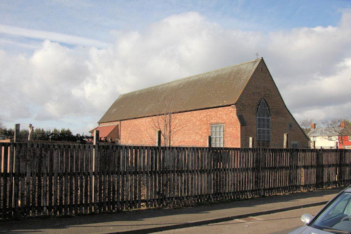
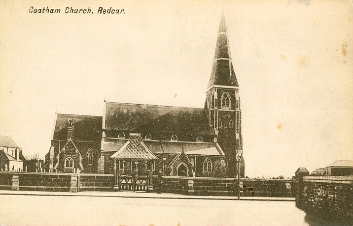
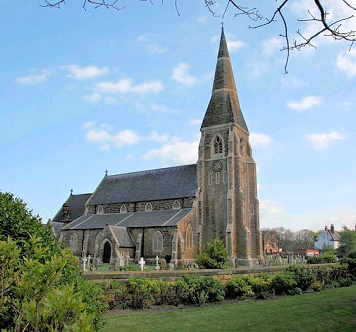
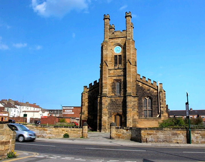
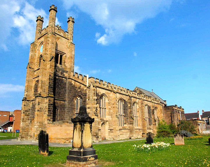
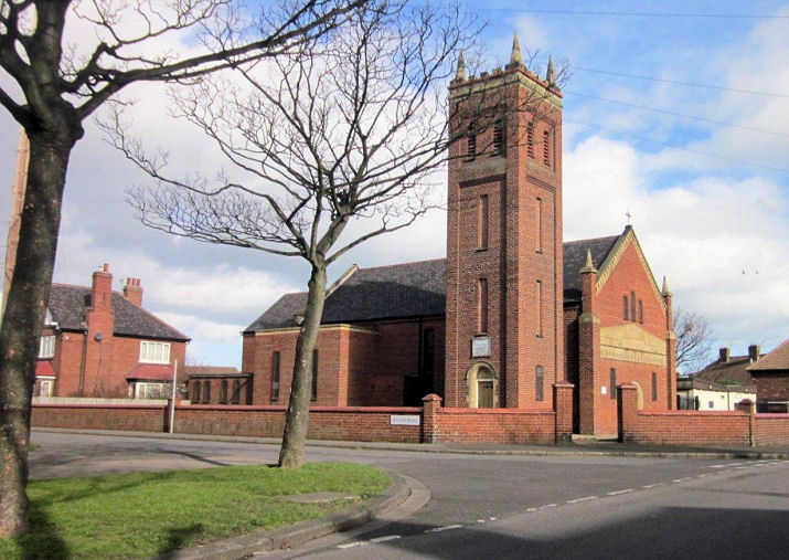
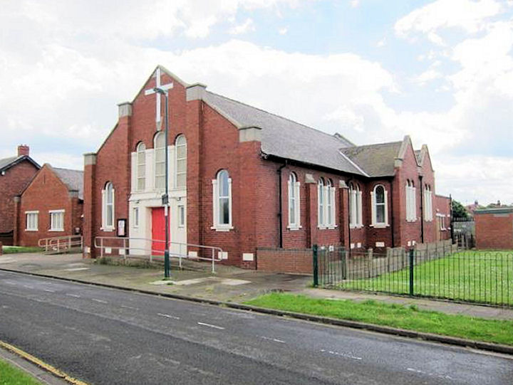
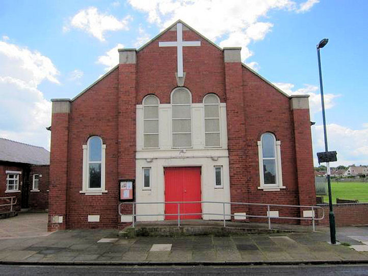
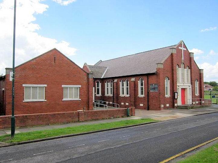
Redcar, North Yorkshire All Saints on South Avenue at Dormanstown. Another view. NZ 5862 2373. Both © Martin Richter (2014). Link. Christ Church on Coatham Road. NZ 5947 2501. From an old postcard in Reg Dosell's Collection. A modern view, © Martin Richter (2011). Link. Grade II listed - dates it to 1854. The lych-gate and churchyard wall share a grade II listing. The Church of Jesus Christ of Latter-day Saints (2025 Streetview) stands on Roseberry Road at NZ 5965 2345. Older O.S. maps show a Congregational Chapel on Coatham Road and what was then Portland Terrace (now West Dyke Road). Built before 1913 it it seems to have closed around the middleof the last century. It stood towards the left hand side of the car park seen by Streetview in 2025. NZ 6027 2514. It stood towards the left hand side of the car park seen by Streetview in 2025. NZ 6027 2514. Another place of worship showing on the map surveyed by 1913 is a Friends' Meeting House at the corner of Station Road and Kirkleatham Street. The building on the site today (2023 Streetview) doesn't look old enough to have been the meeting house. NZ 6014 2502. Kingdom Hall of Jehovah's Witnesses is on Westmorland Road, and seen by Streetview in 2025. NZ 6011 2370. The cemetery on Redcar Lane has two Mortuary Chapels, both seen in a Streetview from 2009. Large scale maps show these to have originally been - left nonconformist (NZ 6078 2444) and right CoE (NZ 6078 2447. New Life Church (2025 Streetview) on West Dyke Road and Grosmont Close. NZ 6010 2253. Link. Newcomen Methodist Church (2025 Streetview) stands on Mersey Road and Troutbeck Road at NZ 5967 2395. Link. Redcar Baptist Church (2025 Streetview) stands on Stanley Grove. NZ 6092 2478. Link. Redcar Gospel Hall stands on Edenhall Grove. Ken Roddam has advised of a recent (2025) planning application for change of use to a nursery. Closed in 2024, Streetviews show it to have been built by the time of their first visit in 2009. NZ 6037 2306. Redcar House of Worship (2025 Streetview) is on Station Road. It stands on the site of a Meth. Ch. shown on a map of 1915. NZ 6014 2510. Link. Sacred Heart (R.C.) on Lobster Road, as seen by Streetview in 2025. It pre-dates a map of 1914. Link. St. Hilda (2025 Streetview) stands at the junction of Rosebery Road and Mersey Road. NZ 5974 2351. Link. The history page dates it to 1969-70. St. Peter on Aske Road, consecrated 1829. Another view. NZ 6084 2499. Both © Martin Richter (2011). Link. Grade II listed - dates it to 1822-8 by Bonomi, with later additions. St. William (R.C., 1938) on South Avenue and Ramsey Road, Dormanstown. NZ 5875 2383. © Nicholas Richter (2013). By 2026 it was evident that the church had been closed, and re-opened as a respite care centre. This source dates it to 1938-9. The date of the webpage (2021) suggests it was still open at that time. The 1914 map shows a Wesleyan Methodist Chapel on Thrush Lane (now Thrush Road) at NZ 6057 2473. Still active at least into the 1950's, the small garden and shed suggest that it's now residential. 2025 Streetview. Zetland Park Methodist Church on The Crescent was built as Primitive Methodist in 1929. Two additional views - 1, 2, the latter also showing the church hall added in 1938. NZ 6137 2459. © Martin Richter (2014). Link. A mid-20th century map shows a church at the eastern side of the southern end of Hanson Street, at NZ 6043 2474. Pre-dating 1930's maps, it seems to have gone out of use by the later 1950's. It seems to survive, in residential use, and was seen by Streetview in 2025. I've been unable to discover what it was.
|
||
01 April 2026
© Steve Bulman
Contact Details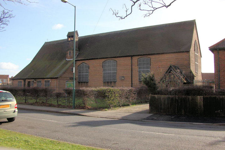