The Churches of Britain and Ireland
| Long Ashton, Somerset
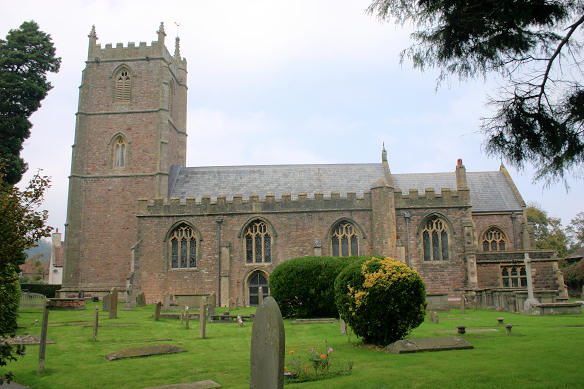
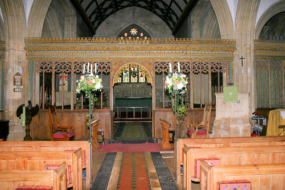
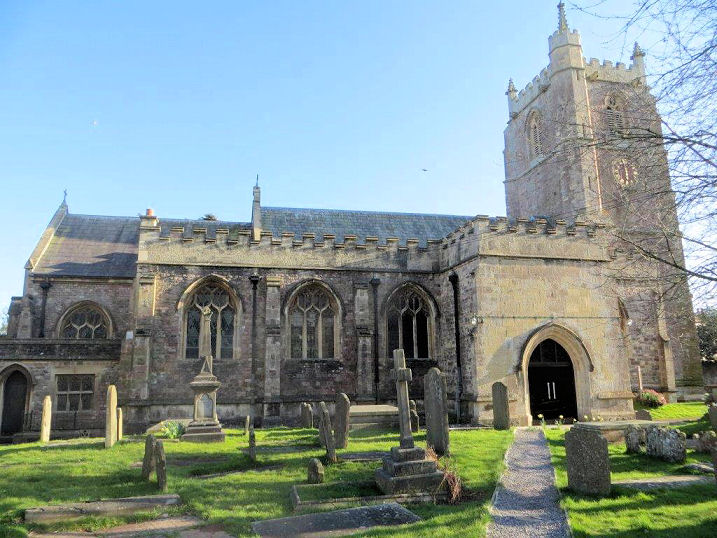
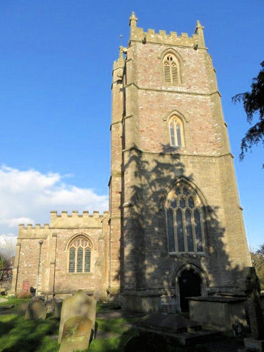
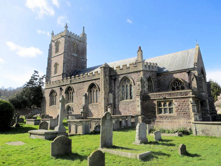
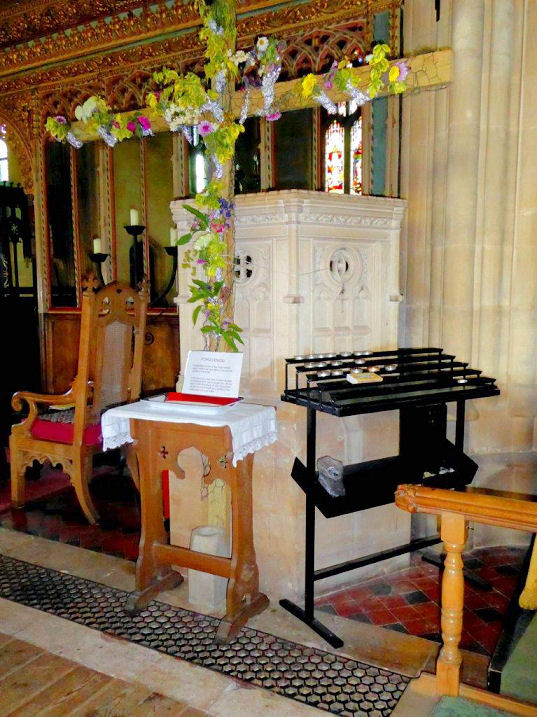
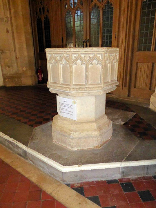
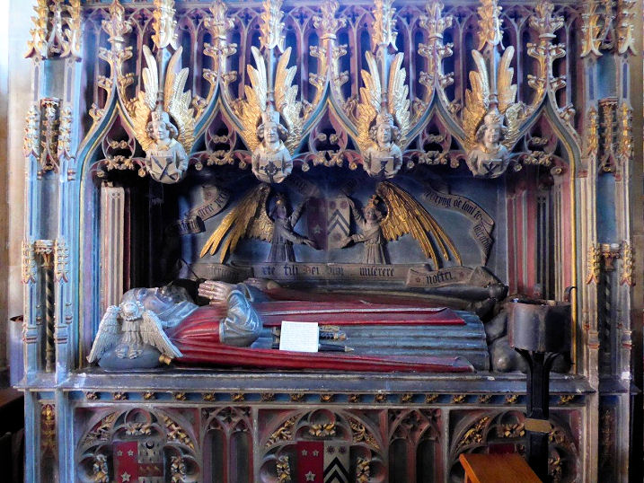
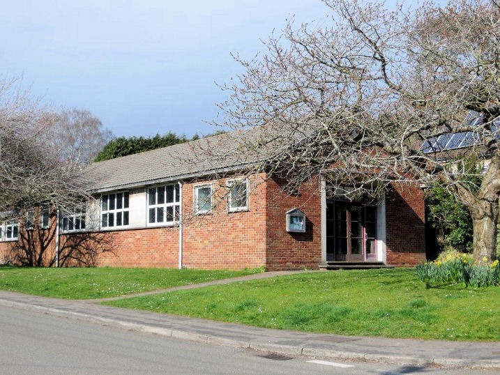
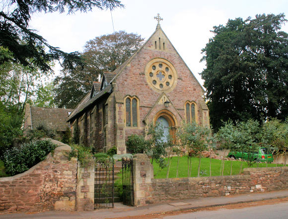
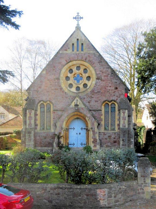
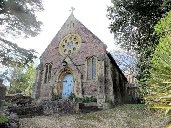
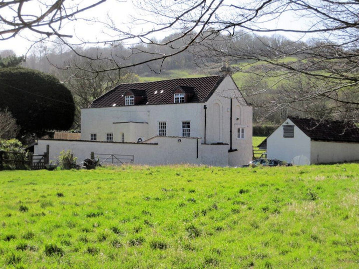
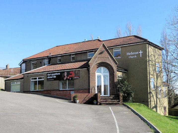
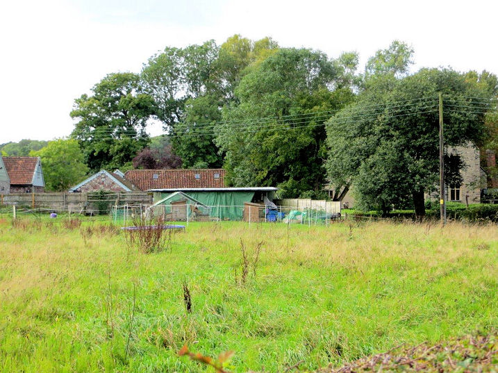
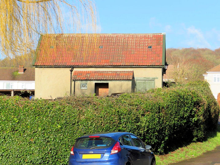
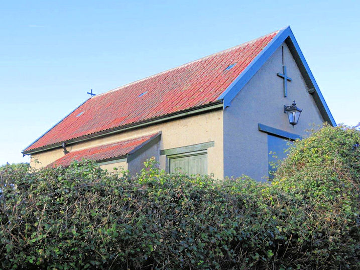
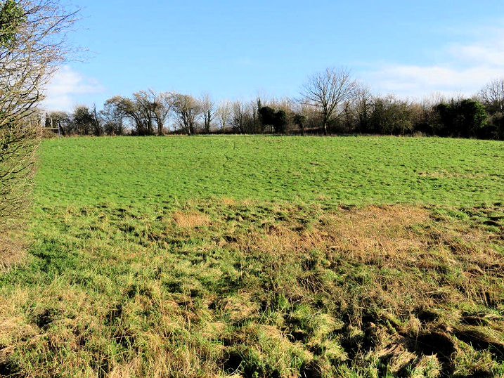
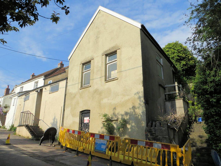
Church of the Ascension (CoE, 1961). ST 5374 7032. © Carole Sage (2016), who advises that this is also known as Keedwell Church. The former Congregational church (1892) on Long Ashton Road was later U.R.C., and is now converted to residential use. Thanks to Jon Mayled for advising its former denomination. ST 5505 7088. © Andrew Ross. Two additional views - 1, 2, both © Carole Sage (2016). The previous Congregational Church (1792-1891) is also now residential. ST 5526 7117. © Carole Sage (2016). Hebron Evangelical Church (1934). ST 5402 7044. © Carole Sage (2016). Link. Lower Court Farm is the location of a C14/C15 Chantry Chapel. Not accessible to the public, the chapel lies behind the trees to the right of the photo. © Carole Sage (2016). Grade II* listed. The former Mission Hall on Keeds Lane. Map evidence suggests it was built between 1913 and 1932, and it seems to have been closed before 1973, and probably around 1961, when the Church of the Ascension (see above) was opened. Another view. ST 53656 70200. Both © Carole Sage (2018). Many centuries ago there was a Chapel which served the lost village of Bower Ashton. (There is today a district of Bristol called Bower Ashton). The Chapel was dedicated as St. John or St. James depending on the source consulted, and it presumably fell into decay after the village was deserted, in the 13th or 14th century. No trace remains above ground level today, and the site is just a field. ST 55890 71240. © Carole Sage (2018). The former Zionhill Chapel (Brethren) on Providence Lane. It pre-dates the 1882/3 O.S, map, closed after WWII, was subsequently used for many years as the village Scouts H.Q., but has been unused in recent years The chapel itself is only the nearest part of the present building, gable-end to the road. ST 53758 70721. © Carole Sage (2017).
|
||
04 March 2023
© Steve Bulman
Contact Details