The Churches of Britain and Ireland
| Kirkcudbright,
Dumfries & Galloway
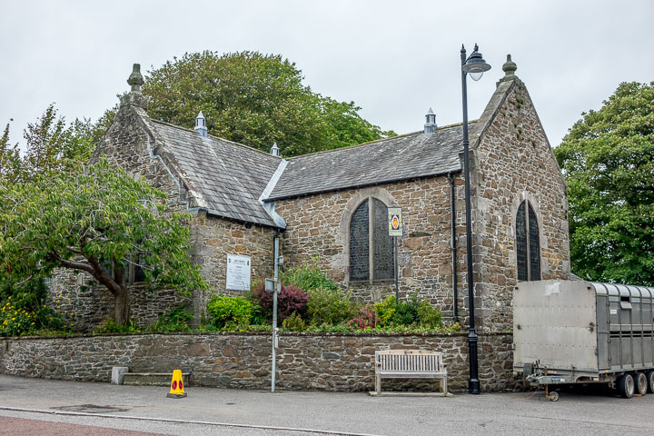
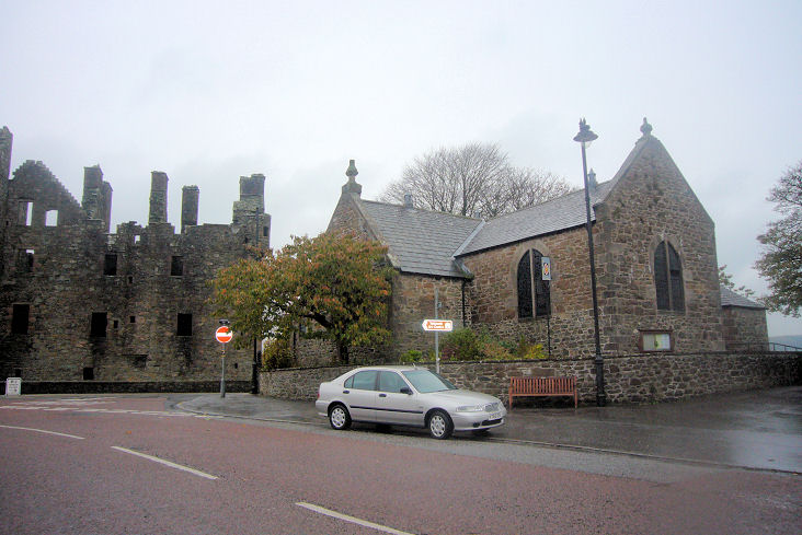
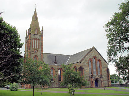
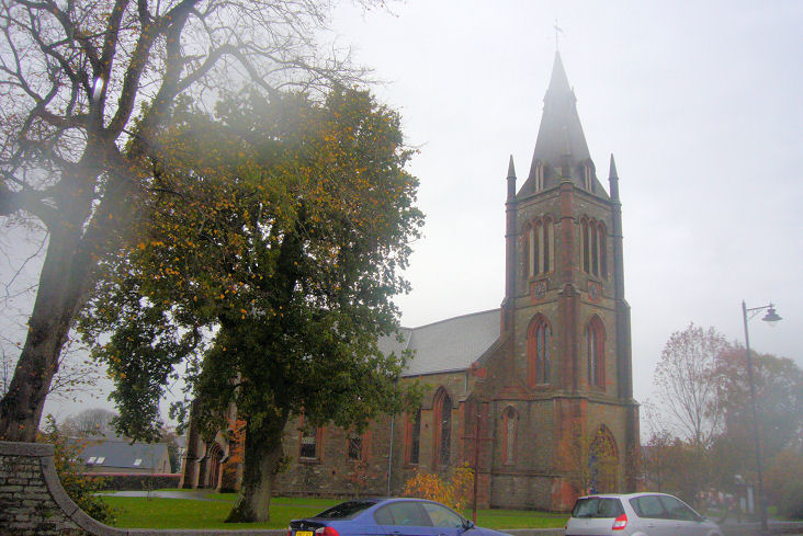
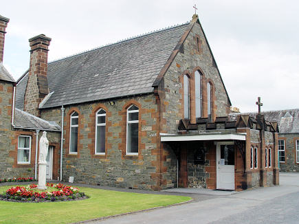
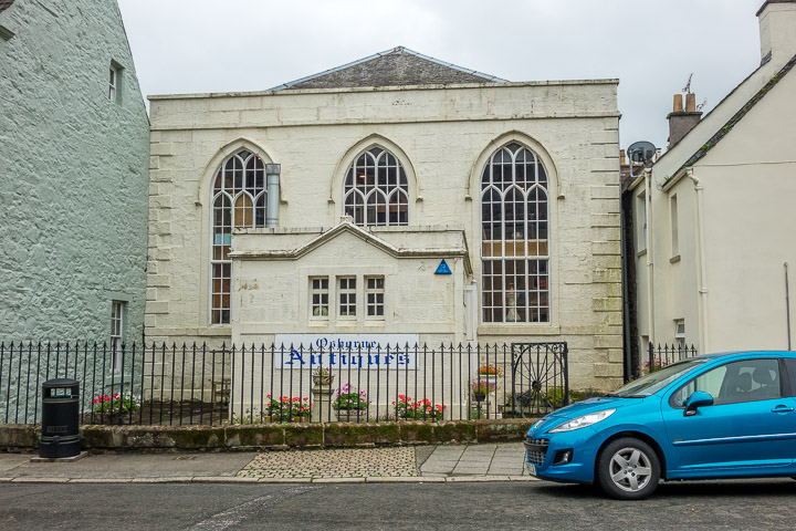
Older O.S. maps show a Church on St. Mary Street at NX 6868 5133. PoWiS says it was Episcopal, and commonly known as the Wee Tin Kirk, dating it to 1879, closed in the 1920's, and demolished in 1964. Its site is now home to the town fire station (2021 Streetview). The former Free Church (now housing) on St. Mary Street and Gladstone Road. NX 6861 5115. © Steve Bulman. Greyfriars (Episcopal) on Moat Brae. NX 6829 5107. © Steve Bulman (2018). Another view also showing part of the castle. © James Murray (2009). Link. The Parish Church on St. Mary Street. NX 6839 5098. © Steve Bulman. Another view, in the rain. © James Murray (2009). Link. Category B listed - dates it to 1831-8. St. Andrew and St. Cuthbert (R.C.) off High Street. NX 6815 5093. © Steve Bulman. Marked on O.S. maps at NX 6903 5119 is St. Cuthbert's Church 8th century. If the maps are accurate, it stood beyond the end of the road seen in a Streetview from 2021. PoWiS. The former United Associate Chapel (now an antiques centre) on High Street. NX 6810 5092. © Steve Bulman (2018). Pre-dating a map of 1895 is a church on St. Cuthbert's Street, at NX 6858 5102. PoWiS dates this United Presbyterian Church (later St. Cuthbert's United Free) to 1880, closing in the 1910's, subsequently used as a cinema, and demolished in 1971. Its site was seen by Streetview in 2021, and I assume the photo here (you'll need to scroll through the photos), labelled as "Old Picture House", is the one-time church.
|
||
21 July 2025
© Steve Bulman
Contact Details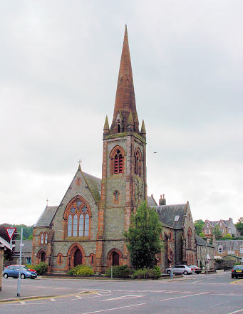