The Churches of Britain and Ireland
| Kelso,
Borders
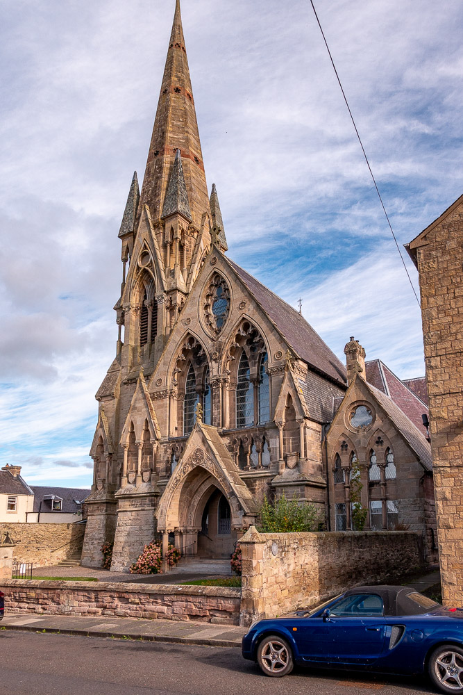
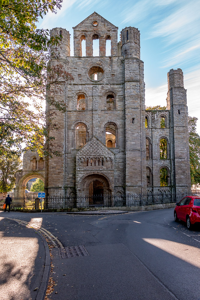
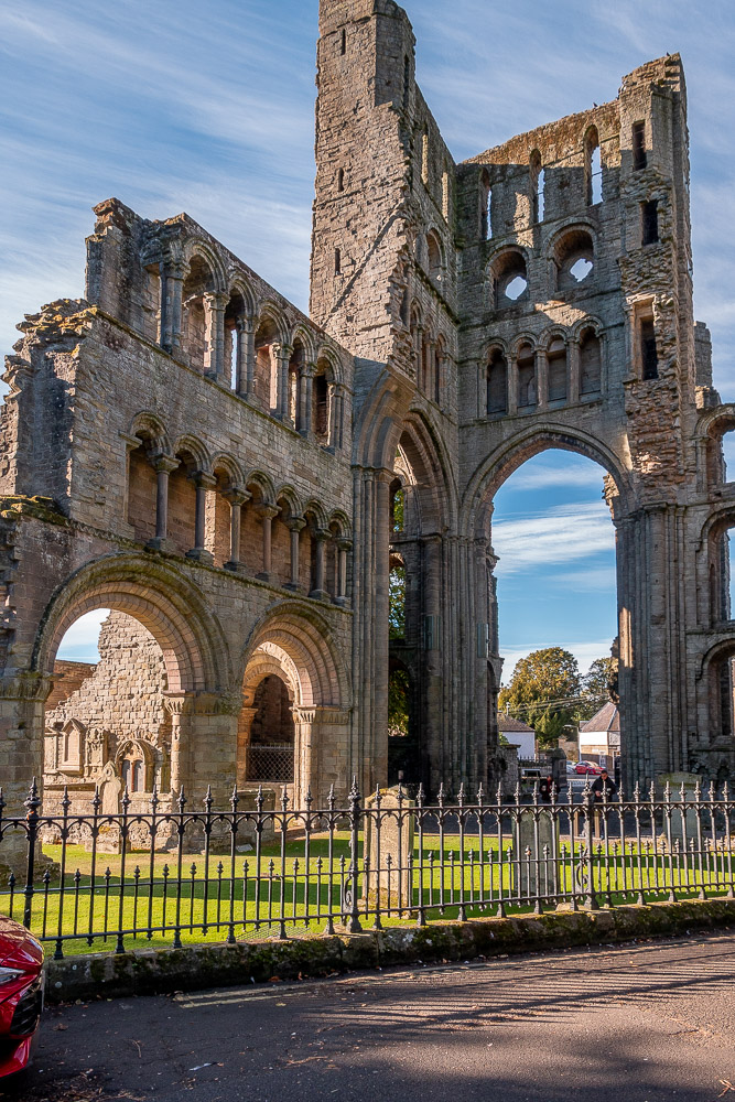
The 25" 1898 O.S. map shows East F(ree). Church on Shedden Park Road. NT 7299 3399. Demolished, its site was seen by Streetview in 2024. This source dates it to 1843, originally as Sprouston Free Church. Old O.S. maps show a church on Inch Road at NT 7263 3429. Not labelled more closely than this on any available map, the close proximity of F.C. Manse tells us that it was a Free Church. Demolished, its site now lies beneath the building and car park seen in a Streetview from 2024. Its successor was Kelso North Free Church on Roxburgh Street, at NT 7258 3420. It's now the CoS North Parish Church. © Steve Bulman (2026). Link. Kelso Abbey on Abbey Row. According to its category A listing, part of the building served as the parish church from 1649-1771, when it was replaced by what is now the old parish church (see below). NT 7284 3382. From an old postcard in Jim Parker's Collection. Two modern views - 1, 2, both © Steve Bulman (2026). Link. A monument is also listed, as category B. Kelso Baptist Church, in Abbey Row Community Centre on The Knowes. NT 7290 3383. © Glen Jones. Link. The congregation had previously met in their own church (2024 Streetview) on Bowmont Street at NT 7264 3418. Streetviews show its signage disappearing between 2016 and 2021. Kelso Evangelical Church, on Bowmont Street, as seen by Streetview in 2024. NT 7250 3433. Link. Kingdom Hall of Jehovah's Witnesses meets in The Kelso Pottery (2024 Streetview) on The Knowes. NT 7299 3389. Old Parish Church (CoS) on The Butts. It's dated to 1771-3 in its category A listing. NT 7294 3392. © Glen Jones. Facebook. Link. There's a Quaker Meeting House on Abbey Row - 2022 Streetview. A sign can just be made out in the window immediately above the yellow door, missing in the latest Streetview. NT 7288 3399. Link1. Link2. The earliest available on-line map (1863) indicates an earlier Meeting House on The Butts, set back from road, at NT 7297 3394. The 25" map of 1898 shows the building still present, with a Burial Ground in front of it. The meeting house and cemetery have both gone, replaced by the buildings seen in a Streetview from 2024. St. Andrew (Episcopal) on Abbey Court. Its category B listing dates it to 1868-9. NT 7276 3374. © Glen Jones. Link. St. Mary (R.C.) on Bowmont Street. NT 7237 3441. © Glen Jones. Link. Category C listed, wherein it's dated to 1857-8. A former United Presbyterian Church (2024 Streetview) stands on East Bowmont Street at NT 7276 3410. Its category B listing dates it to 1885-6. A 2019 newspaper article says it was later known as North Trinity Church, and includes some interior views. Old O.S. maps show an otherwise unlabelled Ch. on Horsemarket, at NT 7289 3412. A restaurant stands on the site (2024 Streetview) today - does anything of the church survive? A.I. in 2026 suggests it was called Edenside United Presbyterian Church, but I haven't been able to confirm this.
|
||
12 October 2026
© Steve Bulman