The Churches of Britain and Ireland
| Ivybridge, Devon
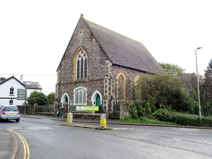
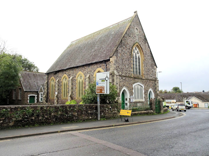
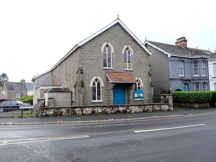
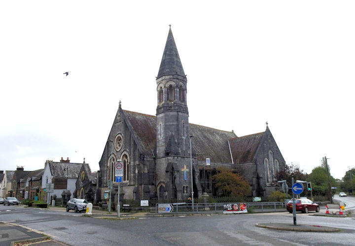
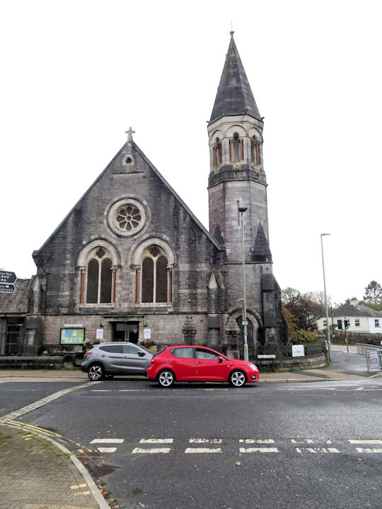
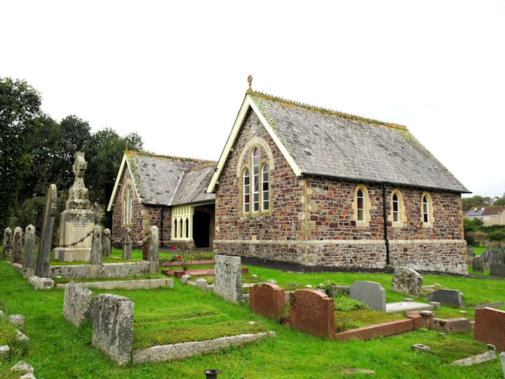
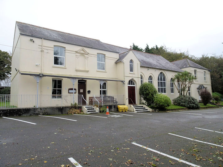
The Baptist Church is on Exeter Road. Older maps show that it was previously Congregational. Another view. SX 6373 5625. Both © Chris Kippin (2023). Link. A short distance from the Methodist Church is this building on Western Road, at SX 6332 5600. Currently a Masonic Hall, no available O.S. maps show it as a church, but was it ever so used? © Chris Kippin (2023). The Methodist Church on Fore Street is labelled on older maps as Wesleyan. Another view. SX 6338 5602. Both © Chris Kippin (2023). Link. Grade II listed, wherein the church is dated to 1874-6. The cemetery a little way west of the town at Woodland, has a double Mortuary Chapel at SX 6270 5607. They are labelled on large scale maps as Nonconformist (the one nearer to the camera) and Church of England. © Chris Kippin (2023). St. Austin's Priory (R.C.), about 1Ľ miles west of the town, at SX 6155 5629. © Chris Kippin (2023). Link. St. John the Evangelist, as seen by Streetview in 2009. SX 6349 5638. Link. Salvation Army Church as seen by Streetview in 2023. SX 6356 5604. Link. A map of 1887 shows Zion Chapel (Calvinistic) on what is today Zion Place. It's not clear which building is intended, and it had evidently gone out of use by the time of the next available map, of 1907. Streetview has only been part way along Zion Place, and nothing chapel-like is evident. Does it survive? Circa SX 6325 5605.
|
||
18 November 2023
© Steve Bulman