The Churches of Britain and Ireland
| Illogan,
Cornwall
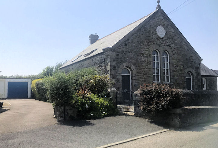
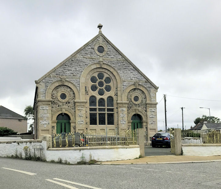
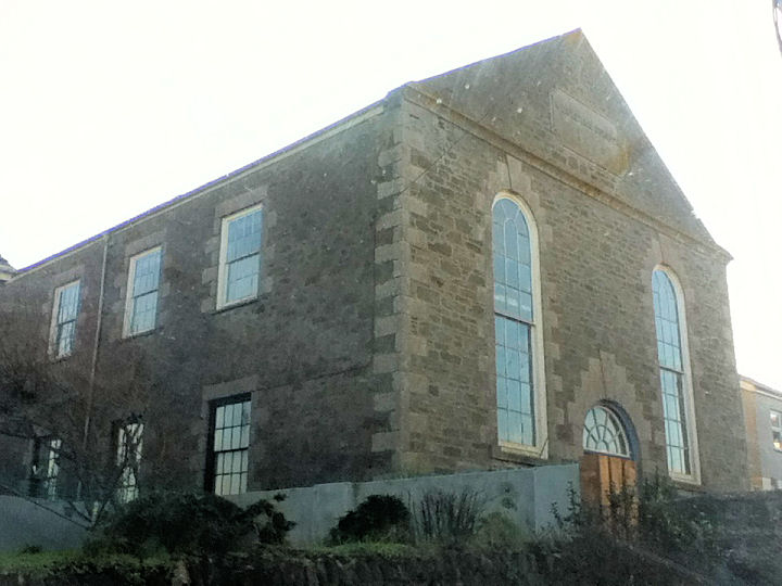
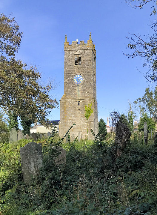
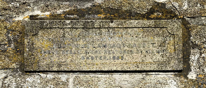
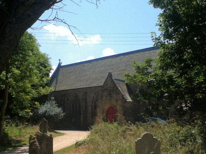
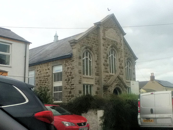
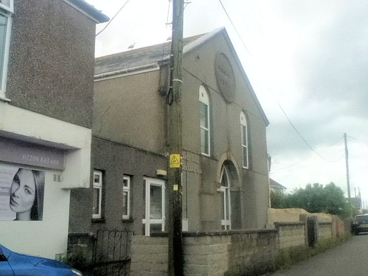
Grapevine Community Church (south of Paynter's Lane End) dates from 1887, when it was built as Broad Lane Primitive Methodist Chapel. Another view. SW 6749 4252. Its former Sunday School stands almost directly opposite, and this source says that it stands on the site of the predecessor of the P.M. chapel, built in 1859. SW 6743 4252. All © Paul E. Barnett (2015 and 2022). Link. The Methodist Church on Trevelyan Road, Paynter's Lane End, was originally United Methodist. It's dated here to 1890. This source advises that it is now closed. And closure is dated here to 2019 - there are interior photos too. SW 6714 4347. © Paul E. Barnett (2022). The Methodist Church on Bassett Road, Vogue Beloth, was originally Wesleyan of 1866. Another view. SW 6771 4343. © Paul E. Barnett (2015 and 2017). This source mentions its predecessor of 1839, now serving as the village hall. It stands further east along Bassett Road, and was seen by Streetview in 2023. SW 6810 4346. See also the Seventh-day Adventist entry, below. The tower of St. Illogan on Church Road, all that survives of the old church. SW 6713 4405. © Paul E. Barnett (2015). Another view, and a plaque which records the restoration of the bells in 1889. Both © Paul E. Barnett (2023). Grade II listed. An old cross stands in the church yard - this too is grade II listed. © Paul E. Barnett (2026). The present St. Illogan (1846) on Church Road stands a short distance to the south, and is also grade II listed. SW 6713 4398. © Paul E. Barnett (2015). Link. The Seventh-day Adventist Church on Bassett Road, Vogue Beloth, stands across the road from the 1866 Methodist Church. It was its Sunday School, and dates from 1909. SW 6771 4347. © Paul E. Barnett (2017). Grade II listed. The former United Methodist Free Church, at Paynter's Lane End, is now in commercial use. Its date-stone is for 1854. SW 6720 4341. © Paul E. Barnett (2017). A map of 1888 (but not on later maps) shows a Methodist Chapel (Wesleyan) on Lower Broad Lane. It's unclear which of two buildings is intended, but it's site now lies under a housing development, seen on a Streetview from 2020. It's dated here (where it's identified as Ebenezer) to "Thought to have been built in 1839" to "closed in the early 20th century". It also identifies the more northerly of the two buildings as the chapel (so - SW 6744 4275). A map of 1906 doesn't show it as a place of worship.
|
||
27 March 2026
© Steve Bulman
Contact Details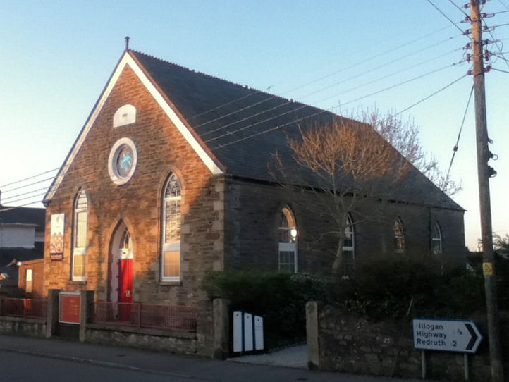