The Churches of Britain and Ireland
| Haworth, West Yorkshire
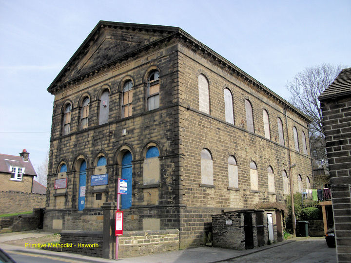
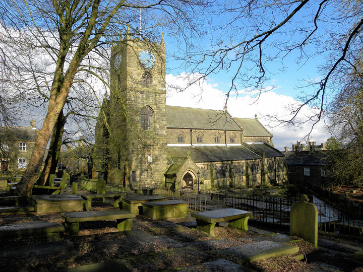
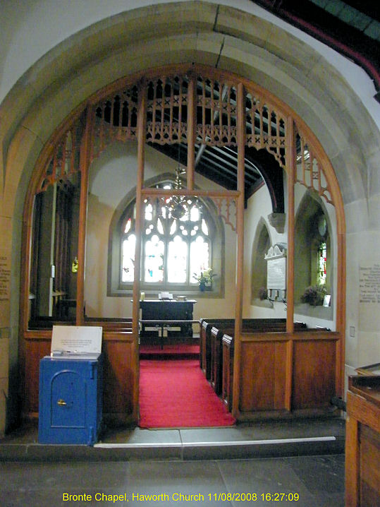
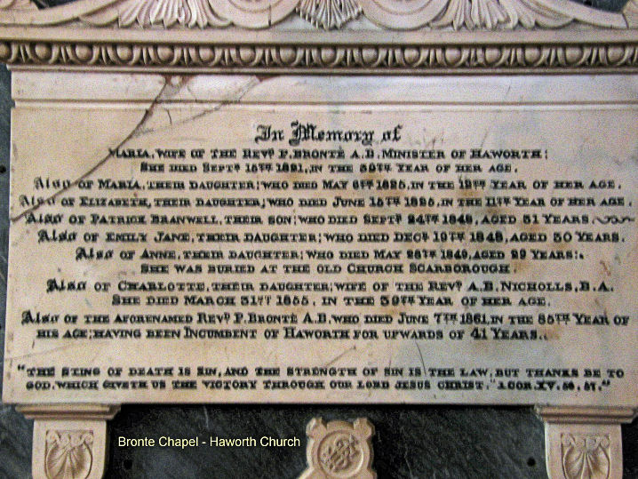
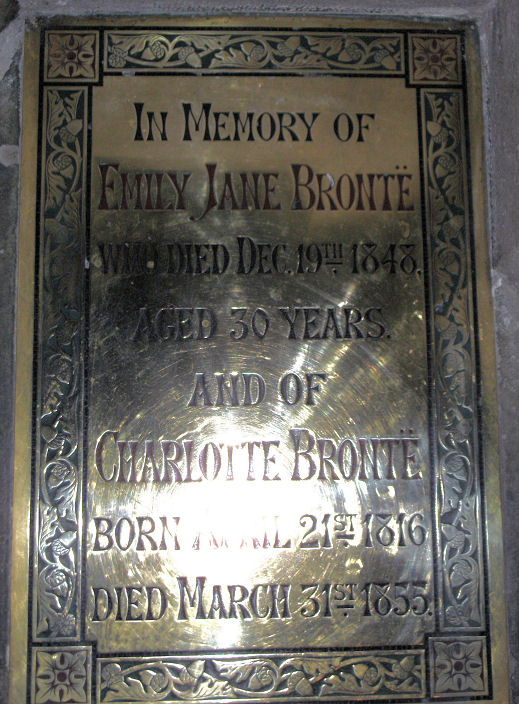
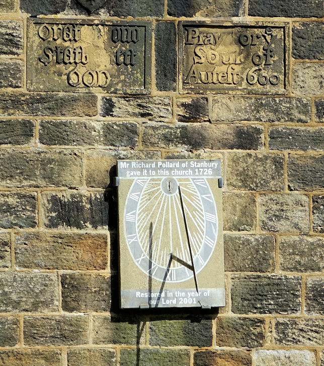
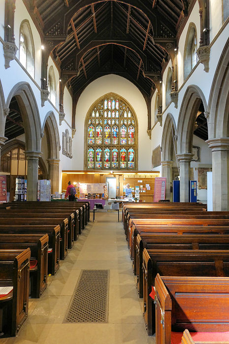
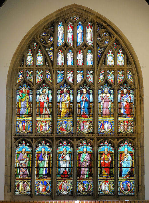
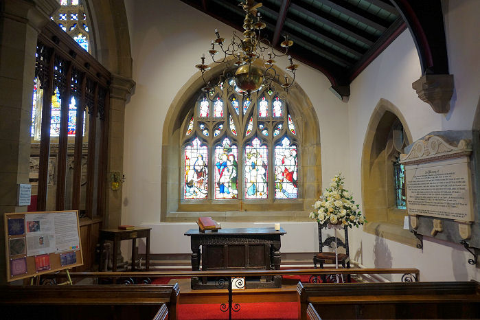
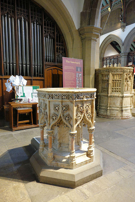
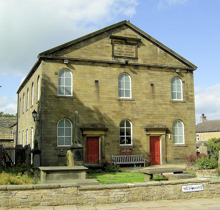
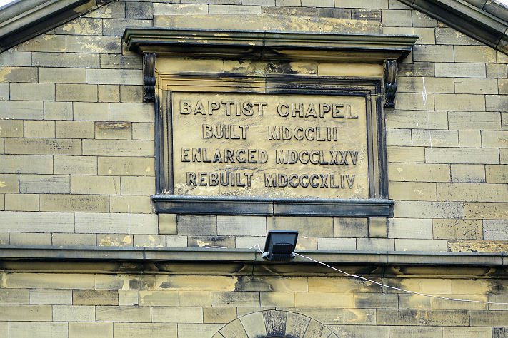
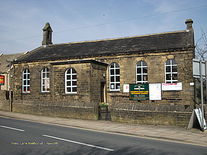
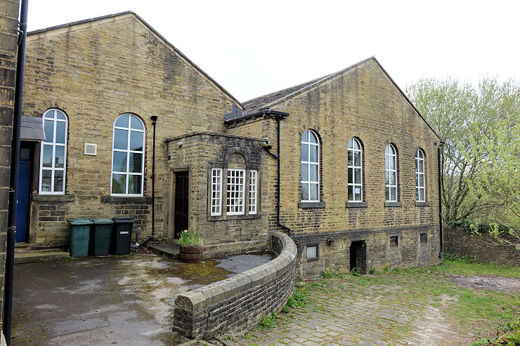
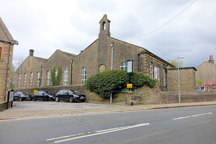
Hall Green Baptist Chapel (1824). SE 0319 3691. © Stuart Mackrell. Link. Grade II listed. The 25" O.S. map of 1908 shows a Meth. Chapel on Station Road, at SE 0354 3699. It survived long enough to appear on the 1:25,000 map of 1952, but it was demolished at some point and a block of flats built on the site. It was seen by Streetview in 2009. I haven't been able to discover anything else about it. Old maps show that Haworth Cemetery used to have a Mortuary Chapel. Aerial views suggest that it has been demolished, and Streetview hasn't seen the site. It stood at SE 0221 3709. The former Primitive Methodist Chapel (1870-1954) on Mill Hey. This source dates it to 1870-1954. The latest Streetview of 2019 shows it boarded up. SE 0364 3739. © Stuart Mackrell. St. Michael and All Angels. Interior view. SE 0298 3722. Both © John Balaam (2010). Bronte Chapel, Bronte memorial, and a memorial plaque to Emily and Charlotte Bronte, all © Stuart Mackrell. The sun-dial, another of the interior, window, another of the Bronte Chapel, and the font, all © Steve Bulman (2022). Link. Grade II* listed. For other listed features associated with the church see here. West Lane Baptist Chapel. SE 0282 3738. © Michael Bourne. Its date-stone is for 1752, with enlargement in 1775, and a re-build in 1844. © Steve Bulman (2022). Link. Grade II listed. West Lane Methodist Church. SE 0275 3737. The 25" O.S. map of 1908 shows that this was originally the Sunday School. The chapel of the time stood a few yards to the east, on what is now a parking area, the access to which can be seen here on a Streetview from 2017. I've been unable to discover what flavour of Methodism this was originally, though I suspect it wasn't Primitive. © Stuart Mackrell. Two more views - 1, 2. Both © Steve Bulman (2022). Link. The church has evidently closed, as it's being offered for sale here.
|
||
04 March 2023
© Steve Bulman
Contact Details