The Churches of Britain and Ireland
| Bromley,
Greater London
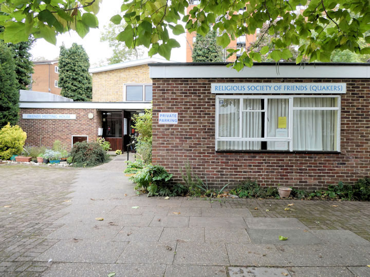
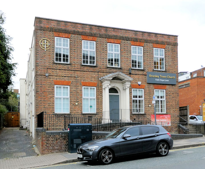
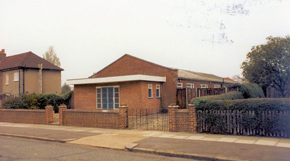
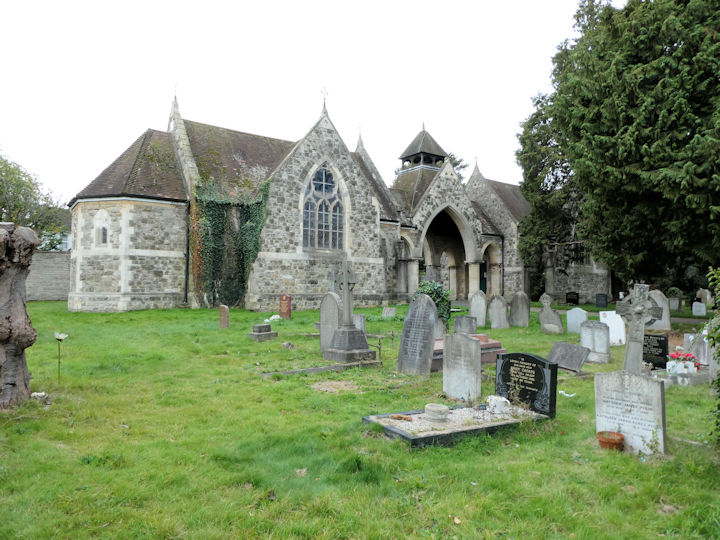
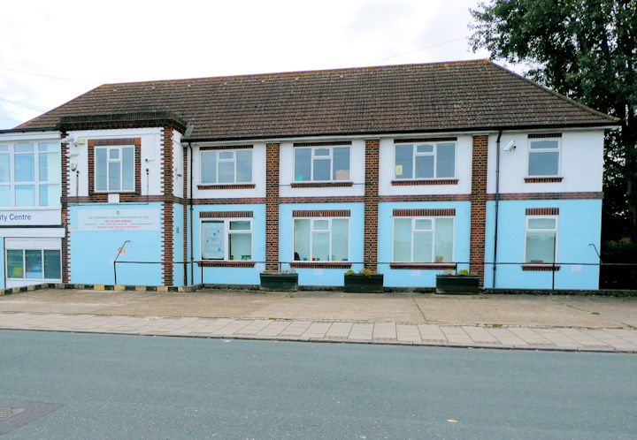
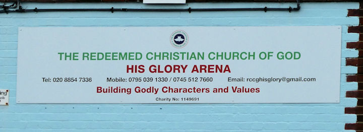
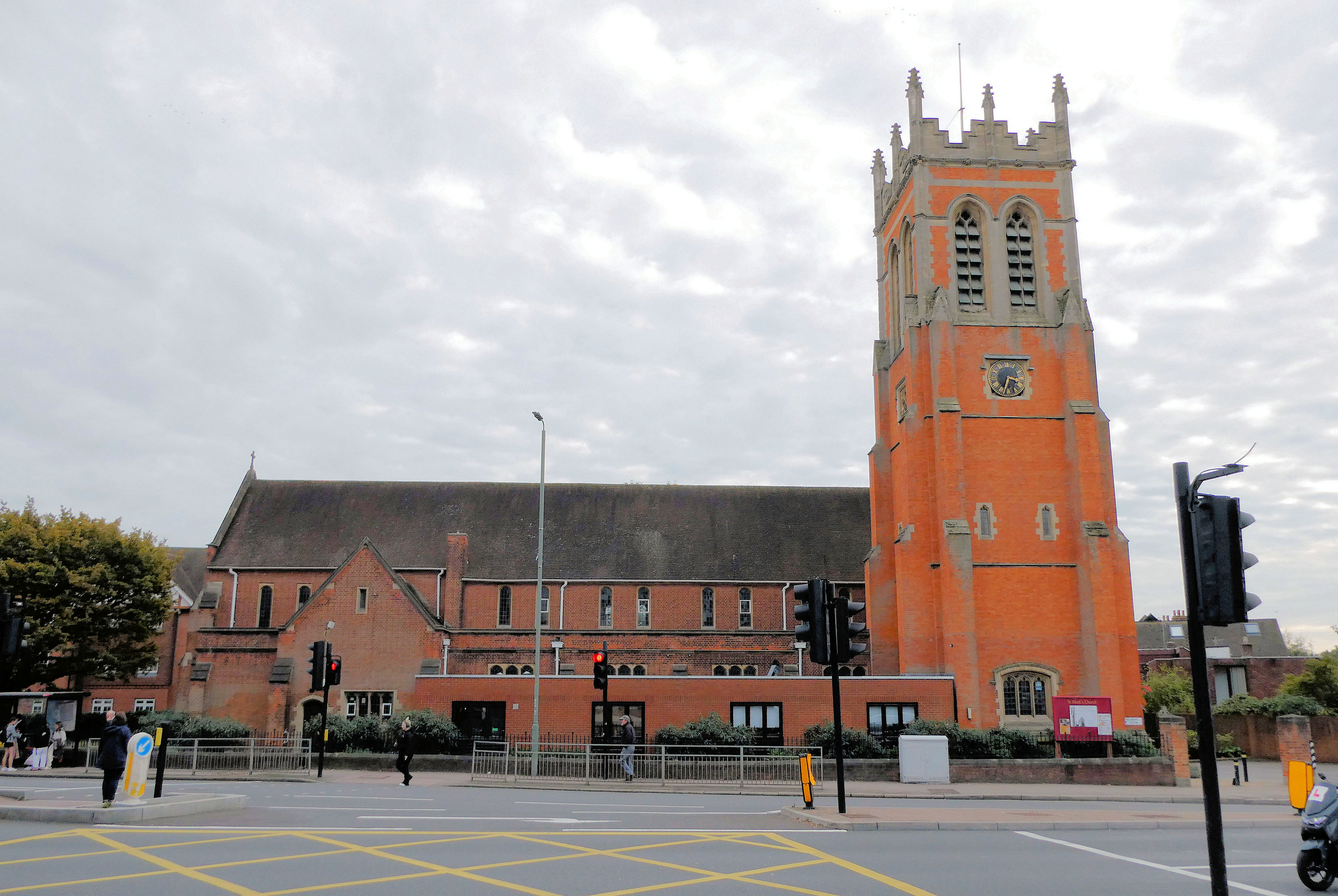
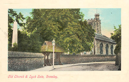
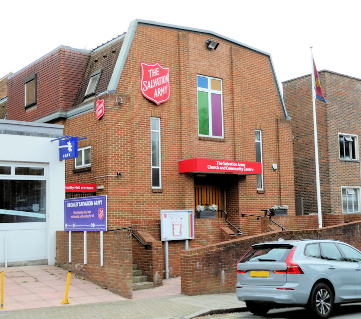
Bromley Baptist Church (2023 Streetview) on Park Road. The church website history page dates it to 1864-5. TQ 4051 6947. Link. Bromley Christian Church, off Mason's Hill. TQ 4047 6853. © Janet Gimber (2023). Link. Bromley Methodist Church (2023 Streetview) is on College Road and North Street. The church website about us page dates it to 1990. TQ 4019 6959. Link. Bromley Quaker Meeting on Ravensbourne Road. TQ 4020 6881. © Janet Gimber (2023). Link. Bromley Town Church, on Ethelbert Road and Churchill Way. TQ 4025 6897. © Janet Gimber (2023). Link. Bromley U.R.C. on Widmore Road and Glades Place, as seen by Streetview in 2023. TQ 4040 6936. Link. The welcome page has a little history, and a photo of the preceding Congregational Chapel, and its predecessor, Bethel Chapel (1788). Both stood on the same site adjacent to the present church, beneath what is today a large Boots (2023 Streetview). TQ 4036 6936. The former First Church of Christ Scientist on Widmore Road, as seen by Streetview in 2023, when the building was for sale. TQ 4060 6941. Grade II listed, wherein it's dated to 1928. Holmcroft Hall (photographed in 1984) on Holmcroft Way. © Alan Taylor. In 2019 it had a sign for Holmcroft Church, and has either been re-modelled or re-built, as a Streetview shows. However, Google Streetmaps show it as Vision Church (link), so it may have changed hands since 2019. TQ 4285 6753. Link. The cemetery on London Road has a double Mortuary Chapel at TQ 3976 7021. In the photo (taken from the north side), the chapel to the left of the entrance is labelled on older maps as Church of England, to the right, and largely hidden by the tree is Nonconformist. © Janet Gimber (2023). Redeemed Christian Church of God His Glory Arena on Valeswood Road. The church sign on the projecting part of the building at the left. TQ 3970 7111. Both © Janet Gimber (2023). St. John the Evangelist, on Park Road and Park Grove, as seen by Streetview in 2020. TQ 4079 6969. Link. Its grade II listing dates it to 1879-80, with restoration after WWII. St. Mark on Westmoreland Road. TQ 4053 6863. © Janet Gimber (2023). Link. The history page dates it to 1898, though only the tower survives from then (WWII bombing), the rest of the church being largely of the post-war re-build, and consecrated in 1953. There is also a photo of its predecessor, a tin tabernacle of 1884, later used as the church hall. It stood on St. Mark's Road at TQ 4053 6863. A large office block stands on its site today (2020 Streetview). St. Peter and St. Paul on Church Road. From an old postcard (franked 1909), in Steve Bulman's Collection. The church in the postcard was severely damaged in WWII, and apart from the old tower, was re-built (according to its grade II* listing) in 1949-57. TQ 4013 6926. Link. The churchyard war memorial has a separate listing, as grade II. Almost directly across from Bromley Town Church on Ethelbert Road is the Salvation Army Church and Community Centre, at TQ 4025 6893. © Janet Gimber (2023). Link. Trinity Bromley U.R.C. (2021 Streetview) on Freelands Road. Older maps label it as Presbyterian. TQ 4093 6970.
|
||
27 January 2024
© Steve Bulman
Contact Details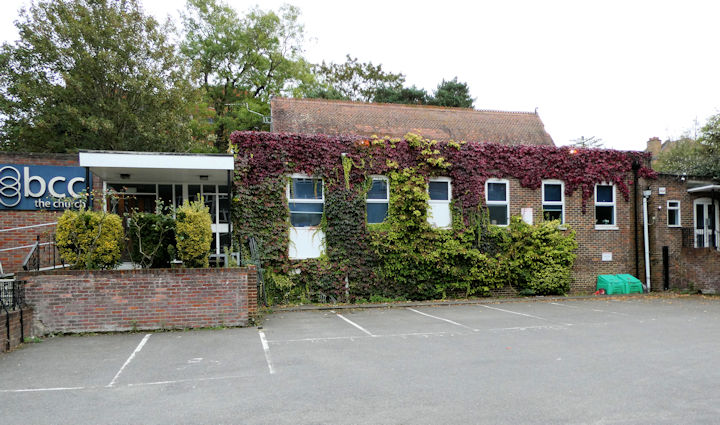