The Churches of Britain and Ireland
| Brislington, including St.
Anne's, Sandy Park, Broom Hill and Kensington Park, Bristol
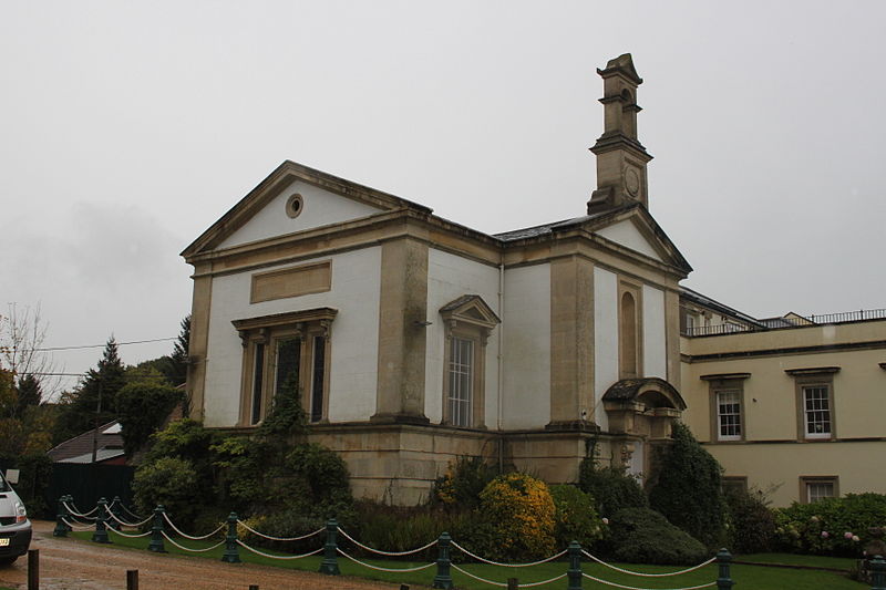
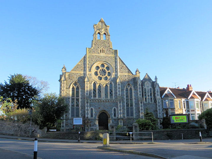
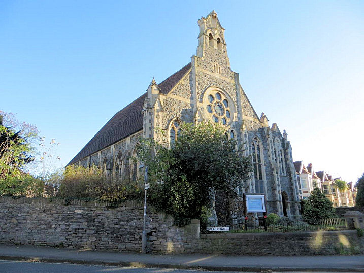
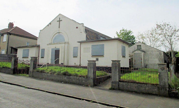
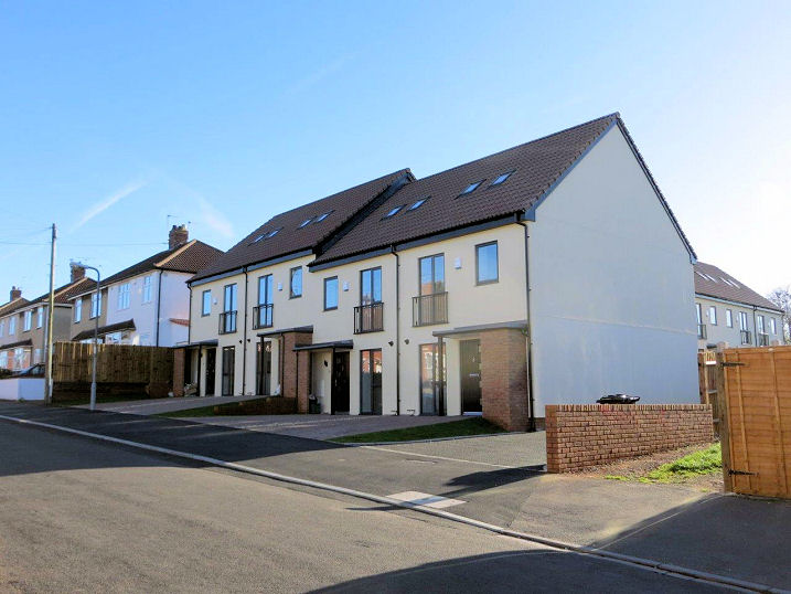
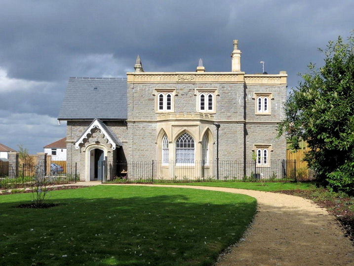
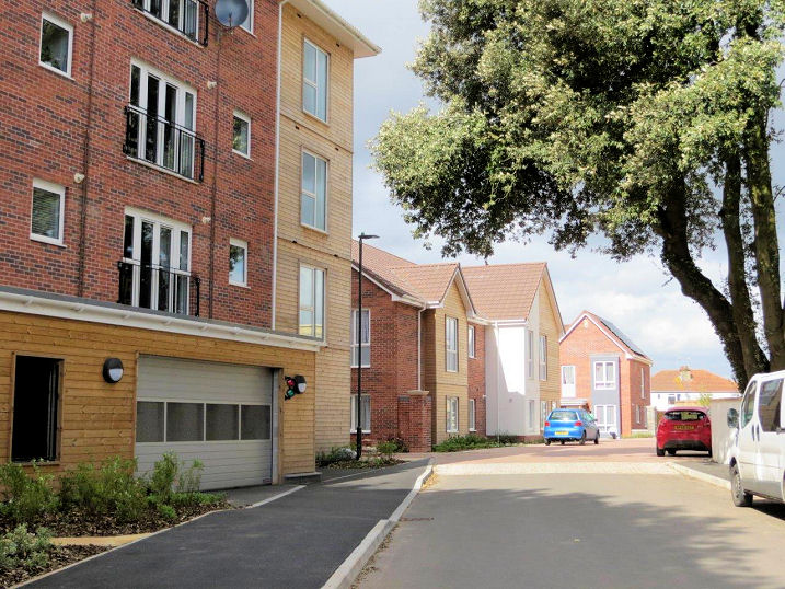
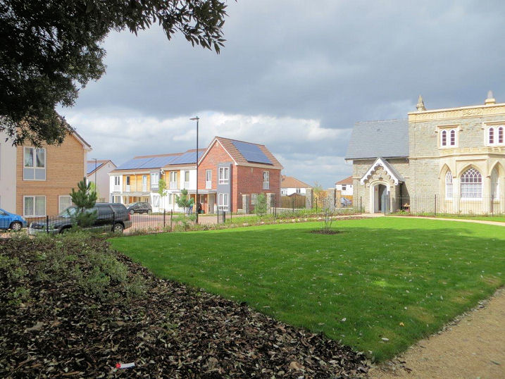
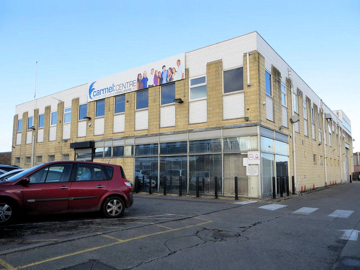
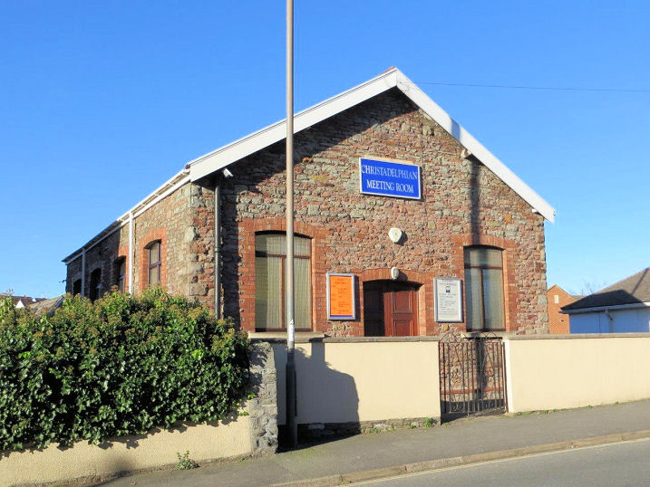
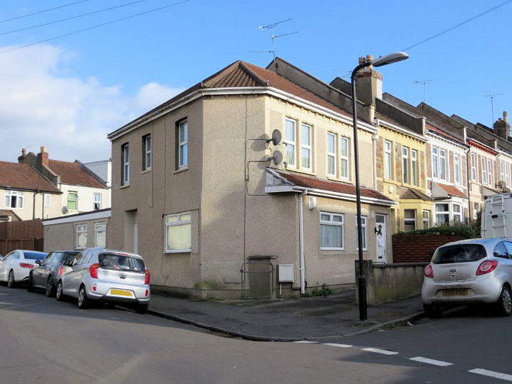
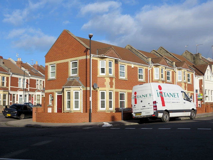
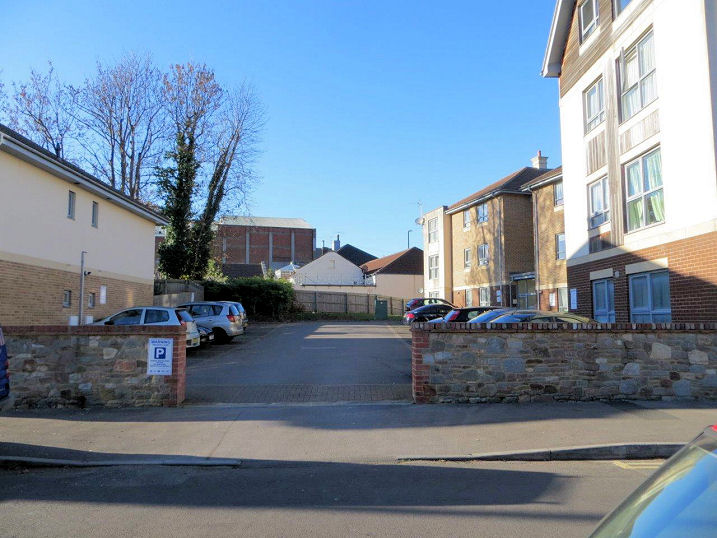
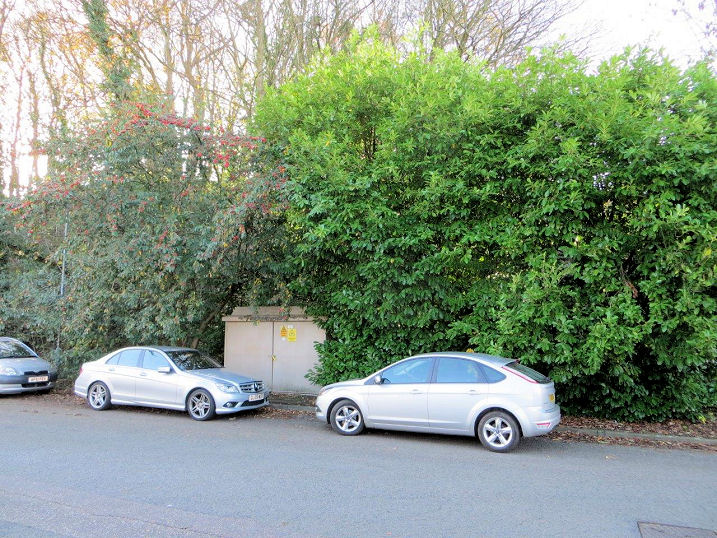
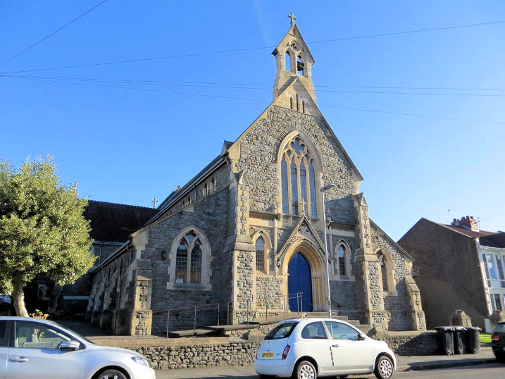
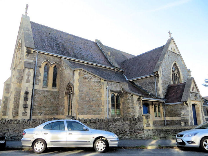
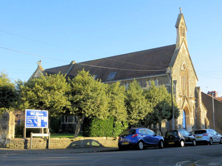
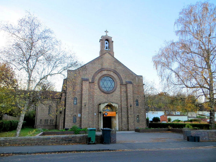
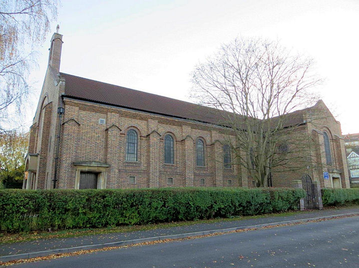
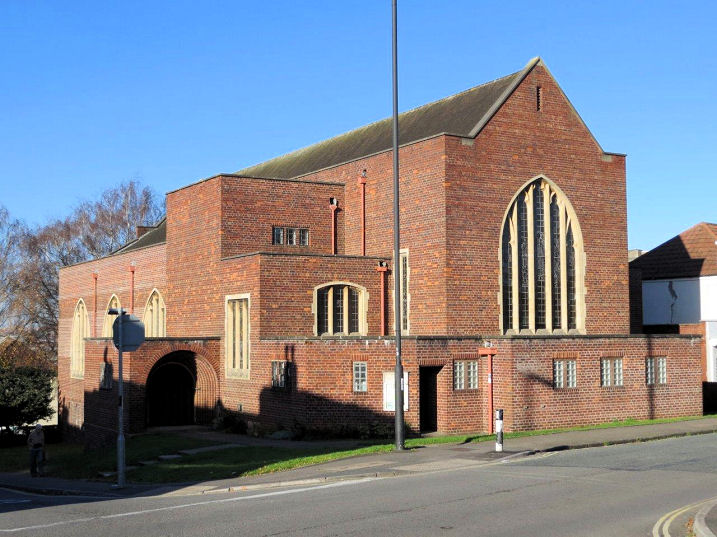
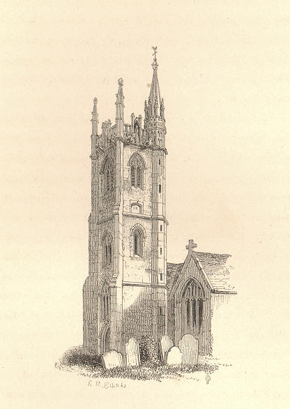
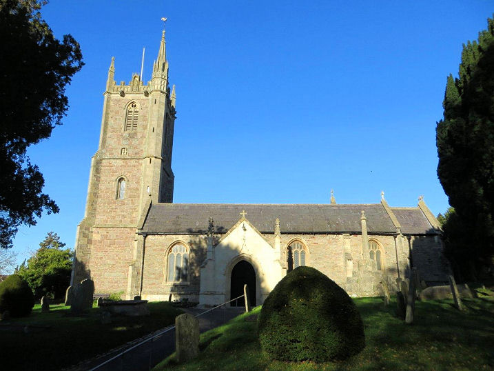
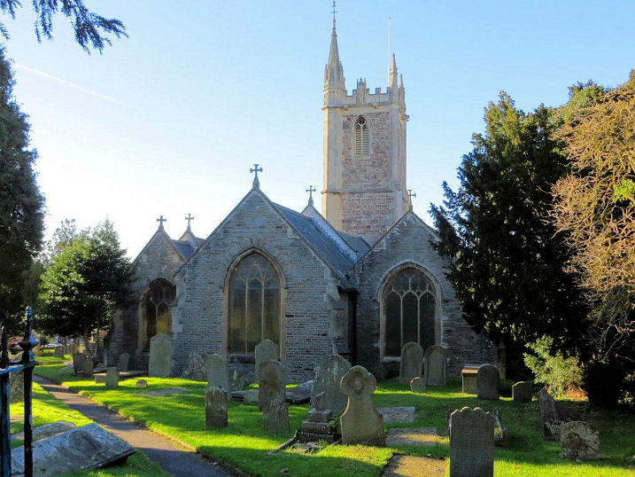
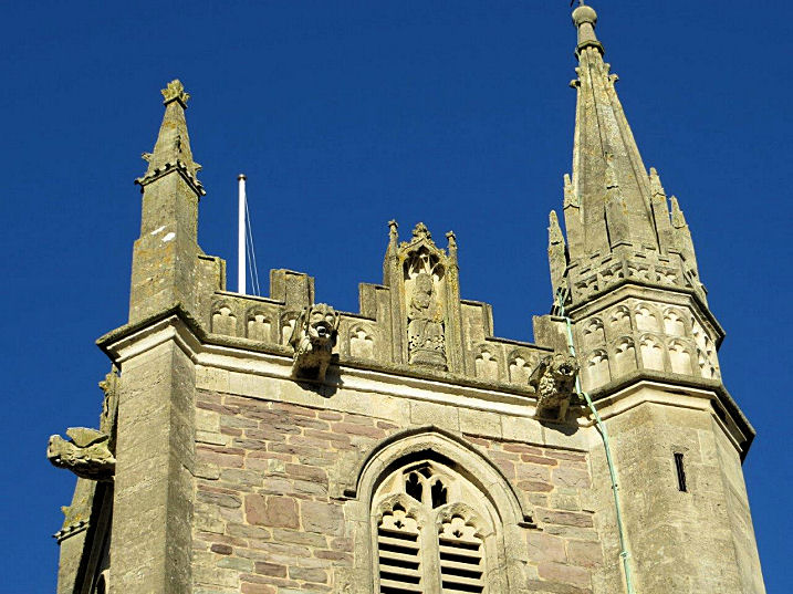
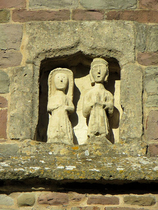
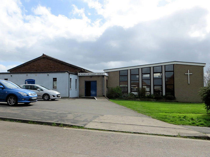
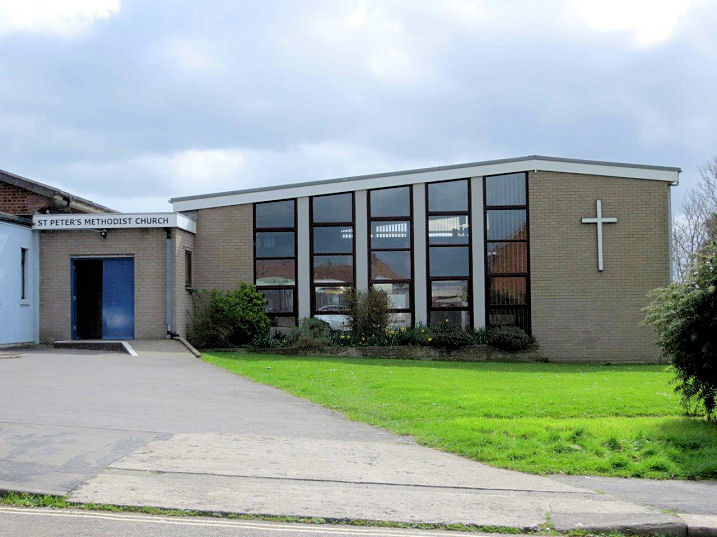
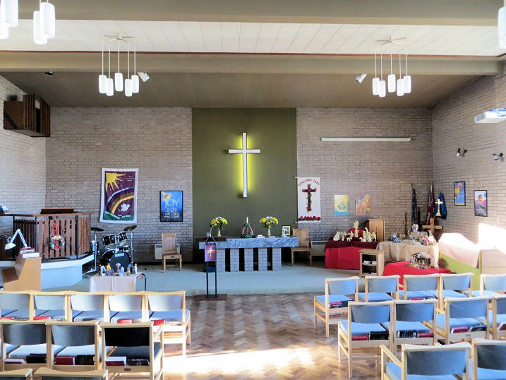
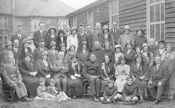
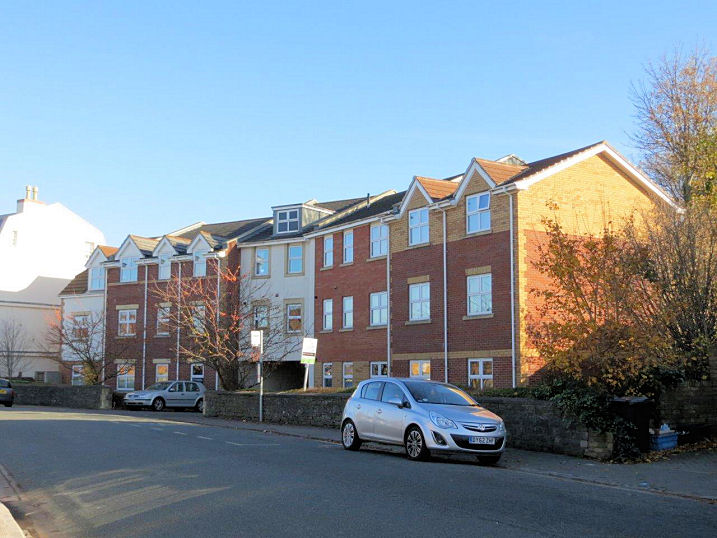
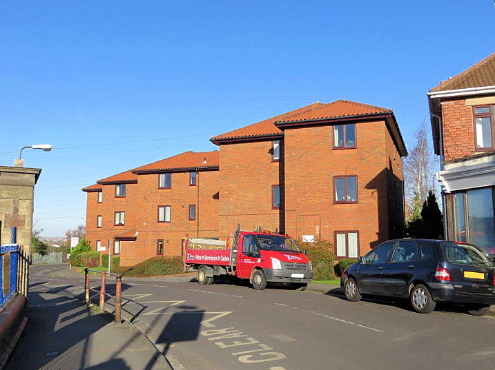
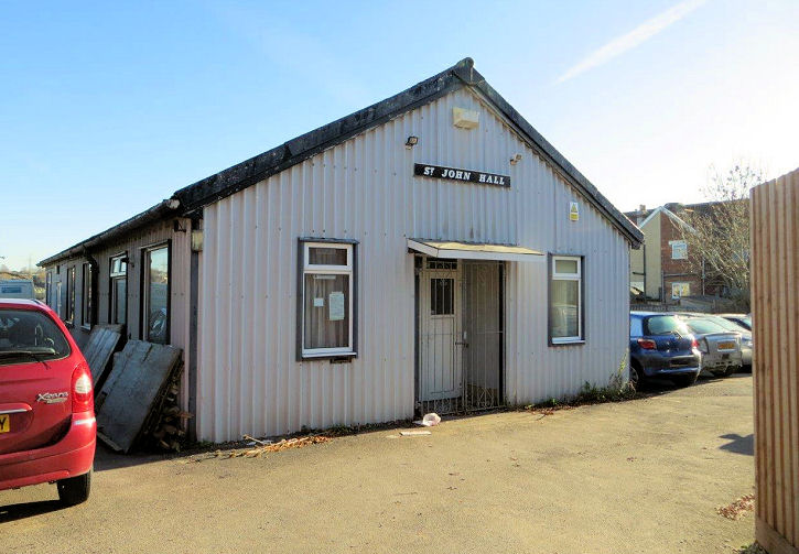
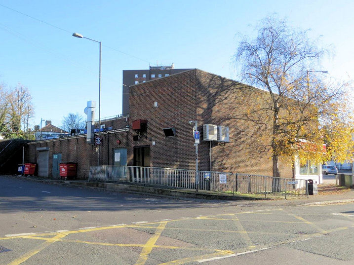
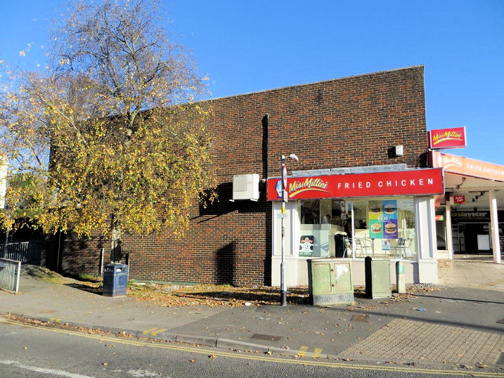
Brislington U.R.C., previously Brislington Congregational Chapel (1901), on Grove Park and Wick Road. Another view. ST 61708 70861. Both © Carole Sage (2016). Link. Two of Loxton's drawing show this church - 1, 2. The demolished Bristol City Mission on Rochester Road. Built in the years preceding WWII, it was still active in 1986, and the site was sold for development in 2015. Houses were subsequently built on the site. ST 62481 72301. Site photo © Carole Sage (2016), Mission photo © Maggs and Allen. Bristol Gospel Hall Trust (Exclusive Brethren) occupied a large building in the grounds of Lynwood House. One source says that it was the UK headquarters of the Exclusive Brethren. Built circa 1970, it was demolished in 2009 to make way for road improvements. Flats were built on the remaining land. This photo shows the house and flats. ST 61549 70986. All © Carole Sage (2017). Article about Lynwood House. Carmel Christian Centre (City Church) meet in a former commercial building on Bath Road in Brislington Trading Estate. They have four other sites across the city as well, this one is sometimes referred to as the Central Campus. See also the Student Union Building on the Clifton page. ST 62525 70305. © Carole Sage (2017). Link. Christadelphian Meeting Room on Church Hill. Old maps show Assembly Rooms on this site from the 1880's up to the 1950's. Whether this is the same building is, so far, uncertain. ST 62035 70823. © Carole Sage (2016). Link. The ground floor of a house on Sandgate Road was used for a time as a Gospel Tabernacle. ST 61537 71520. This was likely the predecessor of the gospel hall Sandy Park Mission Hall, which was built at a date between the mid-1930's and 1949 at the junction of Sandholme Road and Upper Sandhurst Road. The date of its demise is uncertain, though it still shows on the 1990's O.S. map. The site has recently been redeveloped for housing. ST 61548 71602. Both © Carole Sage (2017). The site of an Independent Chapel on Bath Road. The site is now on Kenneth Road, a new road of that name having been built in the 1930's, or thereabouts. Dissenters were granted a license to worship in 1796, and initially met at a pre-existing building on this site. It was rebuilt in 1827 and re-named as Zion Chapel. On or before 1883 it was again re-named as the United Christian Church, and severely damaged in a fire in 1894. The upshot was that the congregation then joined with the local Congregationalists to build a new chapel elsewhere (see Brislington U.R.C., above). The site is now a car park for Chapel Court flats. ST 61917 70681. © Carole Sage (2016). The site of a Plymouth Brethren Meeting Hall on Birchwood Road. A post-war building, it was still active in the 1970's, and the site was subsequently redeveloped as a nursery school which opened in 2014. ST 62517 71915. © Carole Sage (2016). The long vanished medieval St. Anne's Chapel was a C14 foundation from Keynsham Abbey, and both fell victim to Henry VIII. As near as Carole can tell from O.S. maps, the site is now only marked by an electrical substation on Chapel Way. ST 62090 72777. However, the associated holy well does still survive, in St. Anne's Woods. A service is held here annually - a photo of the 2007 service is available here. Both © Carole Sage (2016). St. Anne (1902-5) on Langton Road replaced an adjoining Mission Hall which was subsequently demolished and replaced by housing. The site is now covered by the end-terraced house to the right in Carole's photo. Two further views - 1, 2. ST 61923 72154. All © Carole Sage (2016). Link, with photos of the interior, and damage sustained in WWII. Loxton made a drawing, which also shows Langton Court Road United Methodist Free Church in the background, apparently blocking the road. St. Christopher (1931) on Hampstead Road. It replaced an earlier Mission Church, known as the War Chapel. This was physically moved here from Bath in 1920, having served as a hospital during WWI. After the church was built, the Mission was used as the church hall for many years. The future of the church is uncertain, as there are proposals to merge the parishes of St. Christopher and St. Cuthbert, which would likely lead to the closure of one or the other church. Another view. ST 61158 71110. Both © Carole Sage (2016). Link. St. Cuthbert on Sandy Park Road and Wick Road is the third on the current site. The first was a tin tabernacle (photo available here) built just before WWI. The next was drawn by Loxton, and was a much larger, though still temporary, iron church building, put up just after the war. The present building went up in 1932-3. See also St. Christopher, above. ST 61709 71373. © Carole Sage (2016). Link. The C15 St. Luke stands on the site of an earlier chapel. From "Anglican Church Architecture", by James Barr, 1866, in Steve Bulman's Collection. ST 62090 70784. Three modern views - 1, 2, 3, and a charming pair of statues in a niche, all © Carole Sage (2016). Link. Grade II* listed. Loxton made two drawings - 1, 2, the latter showing repairs underway on the tower in 1920. St. Peter's Methodist Church on Allison Road was built around the 1960's, as a result of the joining of two older congregations (see the last entry on this page, below). It was named St. Peter from the proximity of a road called "The Rock". The building at left is the original church, which now serves as the church hall. The later extension, better seen here, is now the church proper. Interior view. Carole was advised that a "German Church" also meets here. ST 62429 71372. All © Carole Sage (2016 and 2017). Link. A wedding photograph, taken outside the former Salvation Army Hall on Wick Road, destroyed during WWII. © Rob Brettle. Apparently never marked on maps, a local informant advised Carole Sage that the site was now occupied by this block of flats. This was possibly on the same site as a Pentecostal Hall (apparently known as Brotherhood and Sisterhood Hall) which is shown on maps from 1970 until the mid-1990's. On 1950's maps it's marked simply as Hall. ST 61922 71712. © Carole Sage (2016). However, Rob Kinnon-Brettle has advised that the local informant was misinformed - the S.A. Hall stood at the junction of Wick Road and Wick Crescent, and the housing that occupies the site can be seen on a 2014 Streetview here. The site of the vanished United Methodist Free Church on Langton Court Road. Founded in 1899, it closed in the 1980's, and the site was redeveloped as flats. Another view - compare with the old photo of the church available here. ST 61868 72241. Both © Carole Sage (2016). For some time Wellspring Community Church met in St. John's Hall, off Wick Road. Apparently they moved to a local school, but whether the congregation still exists is unclear. The building itself may have been demolished by now, as Carole was advised when she visited that demolition was imminent. ST 61790 71234. © Carole Sage (2016). The site of the demolished Wesleyan Methodist Chapel on The Square. Dating from the late 19th century, it was still standing in the 1960's, but shortly thereafter the area was redeveloped as a row of shops. The congregation joined with another from South Bristol to form St. Peter's Methodist Church (see above). Another view. ST 62016 70719. Both © Carole Sage (2016). An old photo is available here.
|
||
04 March 2023
© Steve Bulman