The Churches of Britain and Ireland
| Belgravia, Greater London
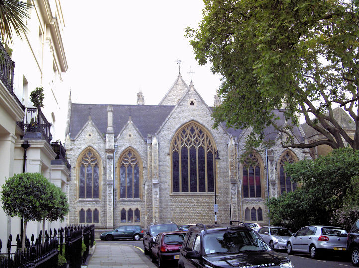
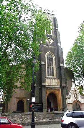
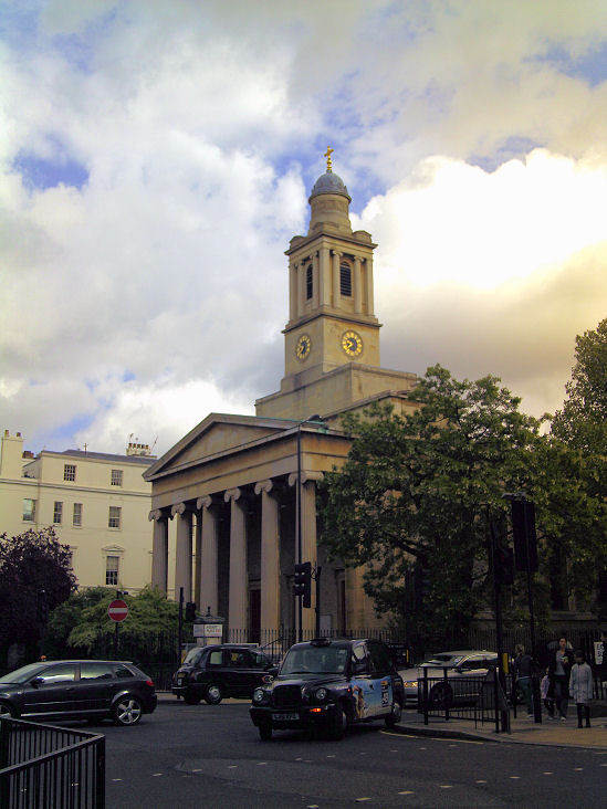
Carmel Hall (2022 Streetview) on Bourne Street is dated 1938, and described in Pevsner as having been built as a church hall for the nearby St. Mary. Earlier O.S. maps show that it stands on the site of a Chapel - a map surveyed in 1869 labels it as Carmel Chapel (Baptist). TQ 2827 7855. Older O.S. maps show a Chapel on Halkin Street at TQ 2830 7959. The Caledonian Club now stands on the site, seen by Streetview in 2012. The About Us page of the club website says that the club was opened in 1946, the building itself dating from about 1910, on the site of an Episcopal Chapel. What appears to be a photo of the chapel can be seen further down the About Us page, with an imposing four column portico. Mosimann's (2025 Streetview) on West Halkin Street is a former Presbyterian Chapel, discussed here, where it says that there has been a chapel on the site since 1805. Pevsner dates this particular chapel to 1881-2. TQ 2806 7940. St. Mary Bourne Street (on Bourne Street and Graham Terrace) as seen by Streetview in 2025. It's dated in Pevsner to 1873-4. TQ 2825 7862. Link. Grade II* listed. The adjacent (former?) Presbytery is also listed, at grade II, which describes it as a having originally been a pub. St. Michael on Chester Square. Another view. TQ 2845 7887. Both © Gervase N. E. Charmley. Link. Grade II listed - wherein it's dated to 1846. St. Paul Knightsbridge, on Wilton Place. TQ 2810 7967. © Bill Henderson. Link. Grade II* listed, wherein it's dated to 1840-3, with later enlargements and alterations. St. Peter on Eaton Square. TQ 2858 7929. © Gervase N. E. Charmley. Link. Grade II* listed.
|
||
13 January 2026
© Steve Bulman