The Churches of Britain and Ireland
| Axminster,
Devon
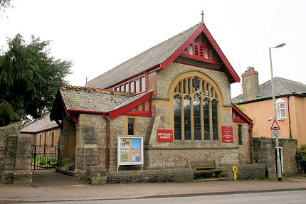
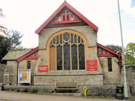
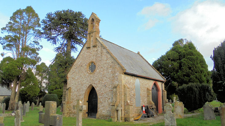
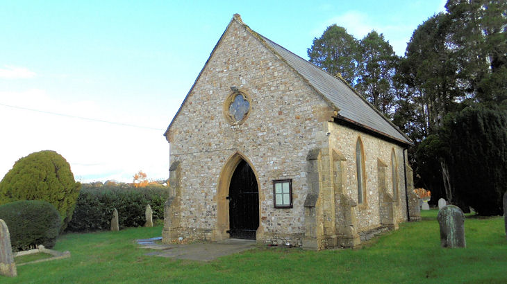
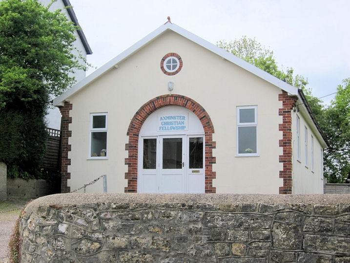
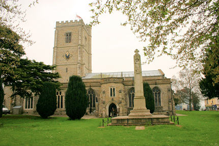
Just over a mile S.E. of the town is Holy Cross. SY 3085 9707. © Chris Kippin (2022). Link. Methodist Church on Lyme Road. SY 2995 9846. © Andrew Ross. Another view, © Graeme Harvey. According to Google Streetview, this church is permanently closed. According to this source, the Axminster congregation now meets in Pippins Community and Business Centre on Stoney Lane and Lyme Road - seen by Streetview in 2018. SY 3007 9846. The cemetery on Chard Road has two Mortuary Chapels. The more southerly, at SY 3038 9907 is shown on O.S. maps as Church of England; its nearby neighbour, at SY 3040 9911 is labelled as Nonconformist. Both chapels pre-date a map of 1890. Both © Chris Kippin (2022). Purzebrook Chapel (Christian Fellowship) on Musbury Road. SY 2960 9826. © Martin Richter (2013). The last page on the pdf document here says that it pre-dates 1939. St. Mary the Virgin. SY 2964 9849. © Andrew Ross. Another view, and another, both © Graeme Harvey. Link. Grade II* listed. For the listed war memorial, and a tomb, see here. St. Mary (R.C.) on Lyme Road. SY 3014 9834. © Andrew Ross. Link. U.R.C. on Chard Street. A plaque on the church wall says "In grateful memory of Thomas Whitty 1713-1792. In 1755 he founded the Axminster carpet industry. He was laid to rest in this churchyard.". SY 2985 9862. © Andrew Ross. According to a 2018 news article, it was planned to close the church, and meet in the adjacent hall, seen by Streetview in 2021.
|
||
10 March 2024
© Steve Bulman