The Churches of Britain and Ireland
| Auchtermuchty, Fife
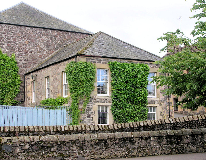
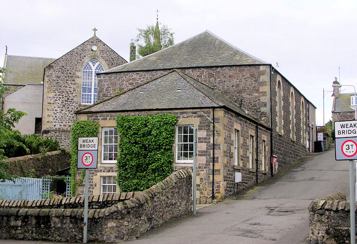
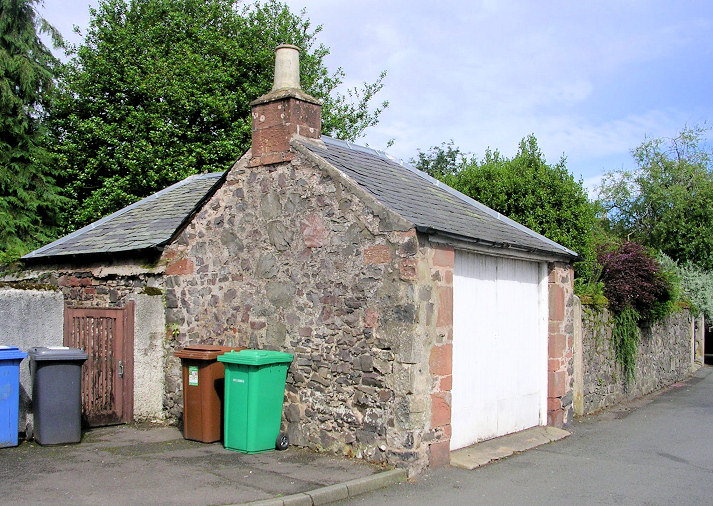
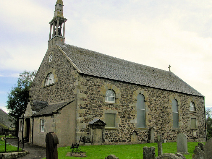
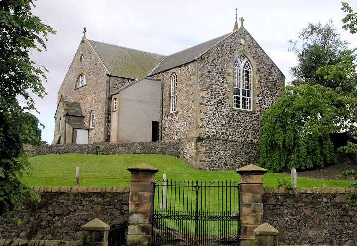
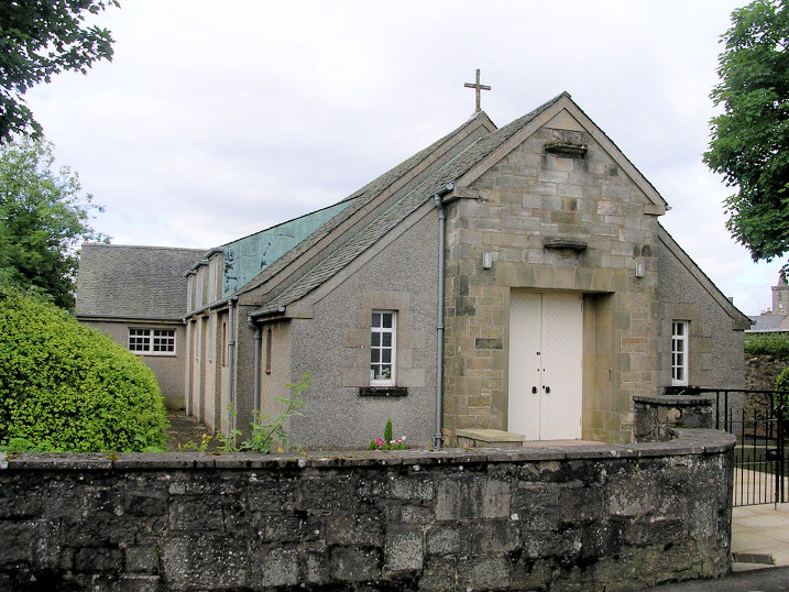
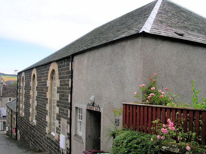
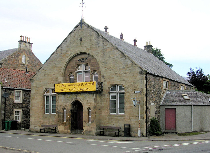
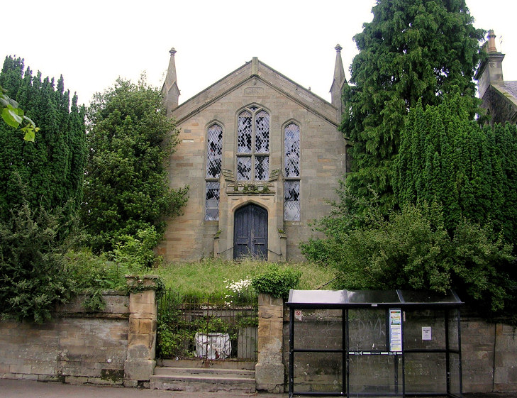
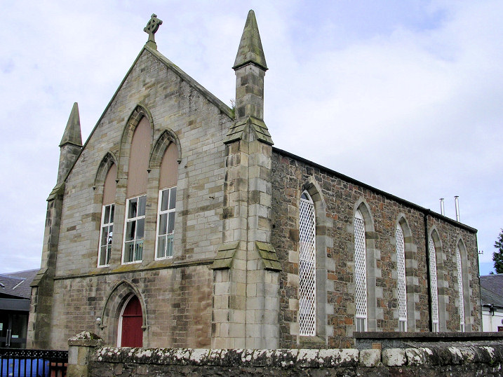
The former Auchtermuchty Gospel Hall on Kilnheugh. Another view. A minor mystery here. Jim advises of this link, which says that the exact identity of this Gospel Hall is a little uncertain, but prefers the building in the first photo. A 1969 map from www.old-maps.co.uk says it is the building in the second photo. Unfortunately, as of 2024, neither of these links are still active. The two buildings are adjacent - a suitable grid reference would be NO 2378 1178. Both © Jim Parker (2012). The former Auchtermuchty Relief Church on Madras Road. The rest of the building was demolished; the little that remains is now part of a garage. NO 2364 1193. © Jim Parker (2012). Link. Parish Church (CoS) on High Street and Croft. It's dated here to 1779-81, probably on the site of an earlier church. Another view. NO 2391 1170. Both © Jim Parker (2012). Link. Category B listed. The churchyard is also listed, as category C. St. Matthew (R.C.) on Backdykes. NO 2400 1173. © Jim Parker (2012). Link. The former Free Church (1843), later St. Stephen, on Croft now serves as the Parish Church Hall. It's dated here to 1843, and converted into the church hall in 1952. The former Baptist Church adjoins at the north end - see "another view" in the Baptist Church entry above. NO 2388 1177. © Jim Parker (2012). The former United Associated Chapel (1865) on Burnside, now called Victoria Hall. NO 2402 1168. © Jim Parker (2012). Category C listed. The former (and derelict) United Free Church on Burnside. This source says it was built as a Burgher Church in 1845. NO 2400 1173. © Jim Parker (2012). The former United Presbyterian Church (1850) on Murray Place (was Bonegate). It now serves as a school hall. NO 2385 1197. © Jim Parker (2012). Link.
|
||
05 March 2024
© Steve Bulman