The Churches of Britain and Ireland
| Ashby de la Zouch, Leicestershire
Ashby de la Zouch on
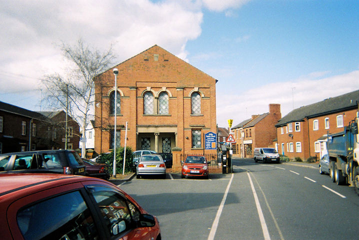
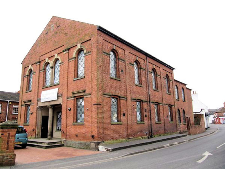
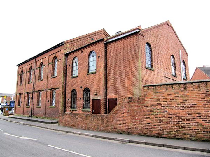
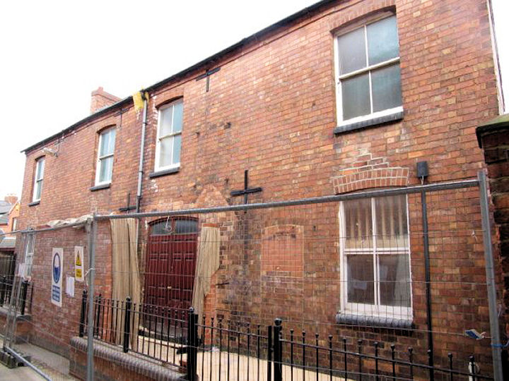
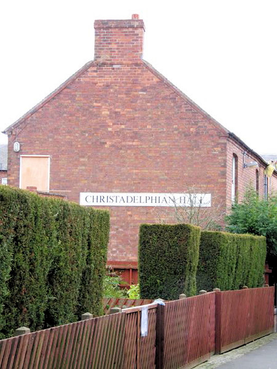
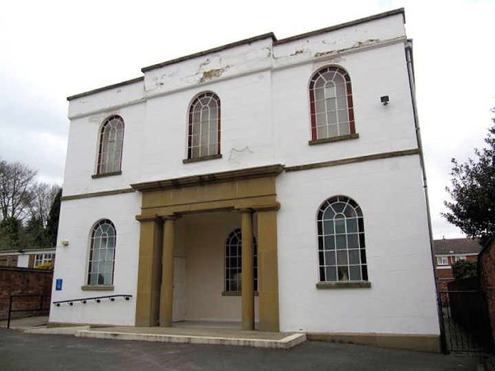
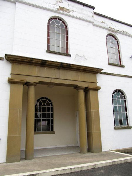
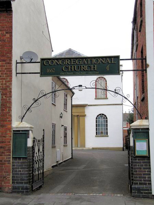
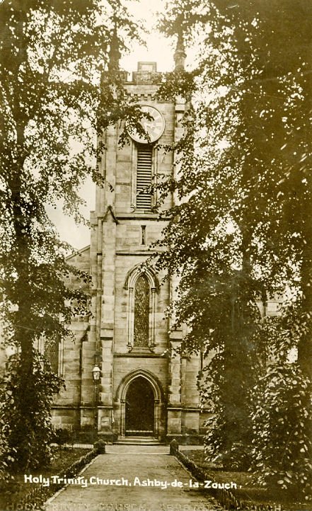
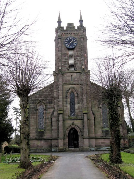
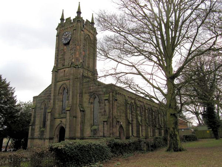
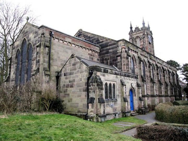
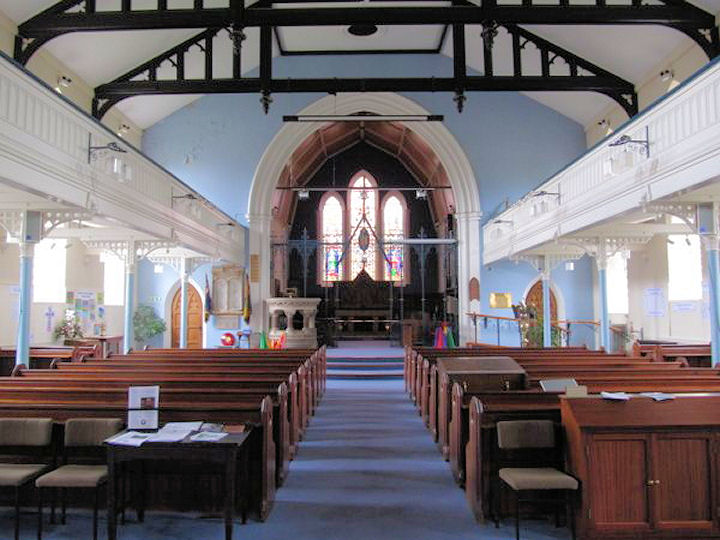
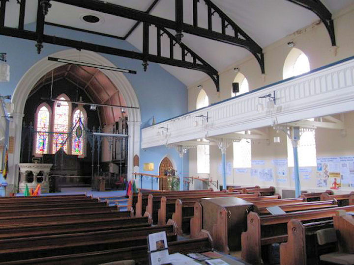
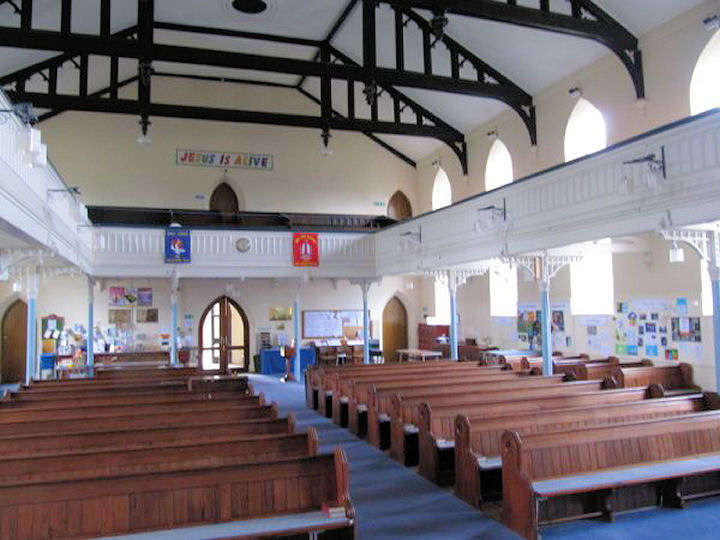
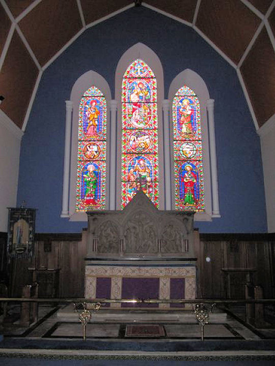
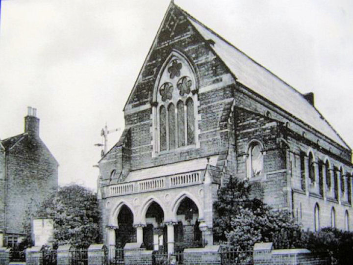
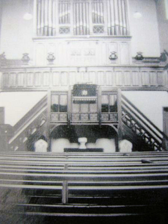
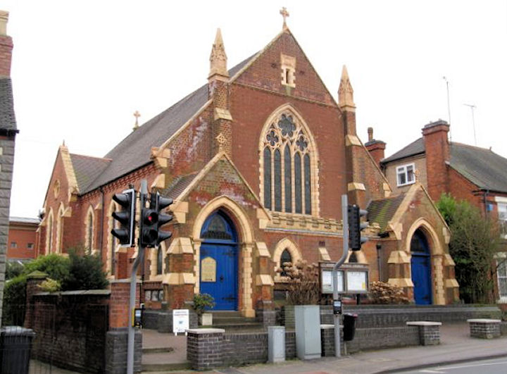
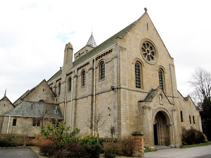
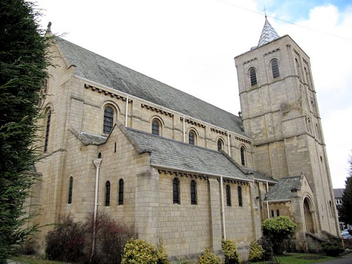
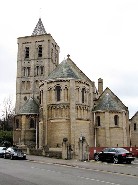
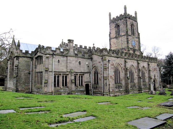
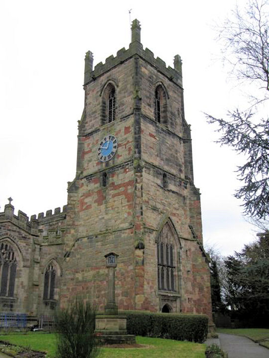
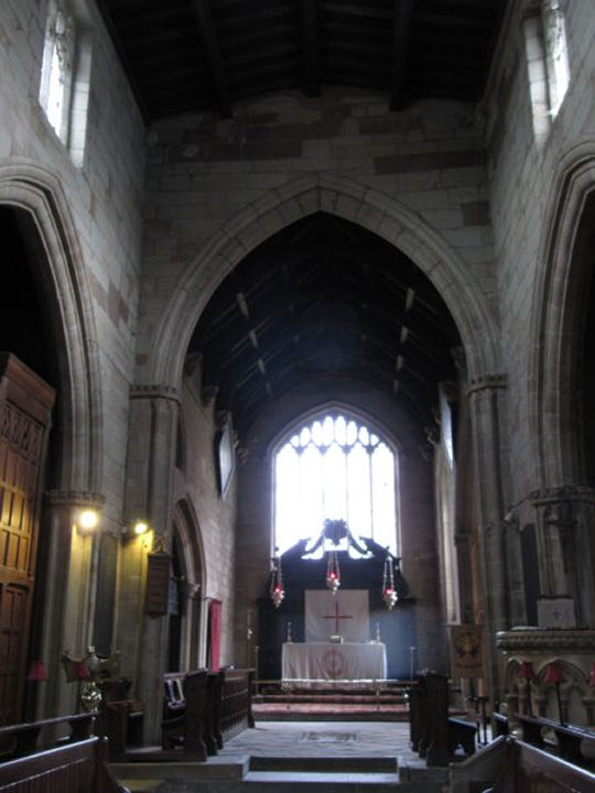
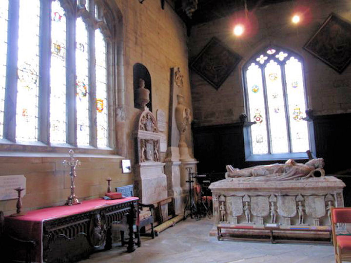
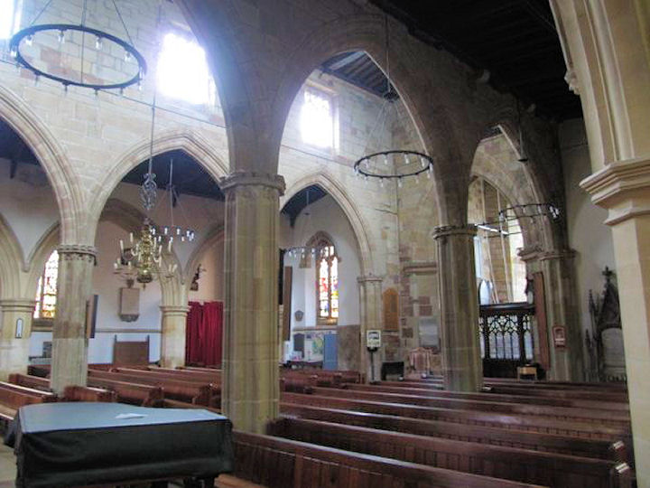
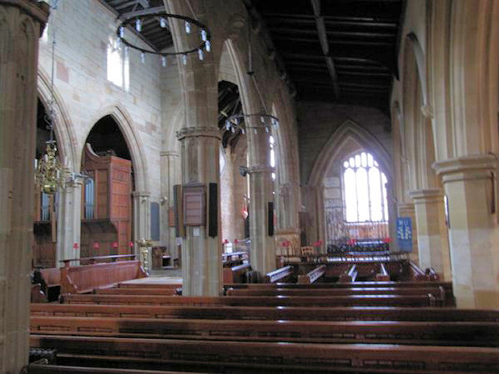
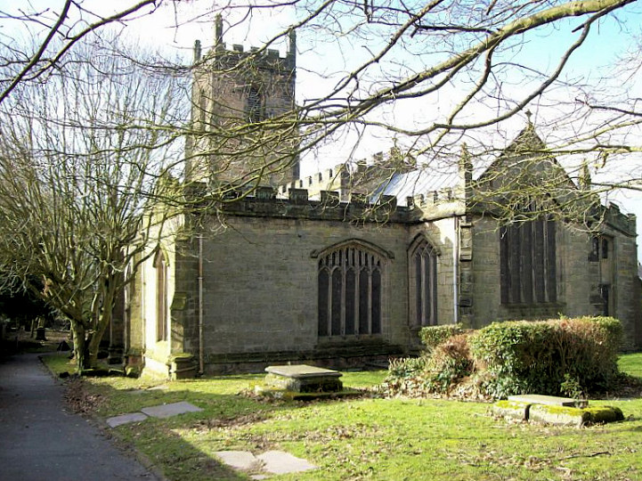
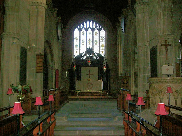
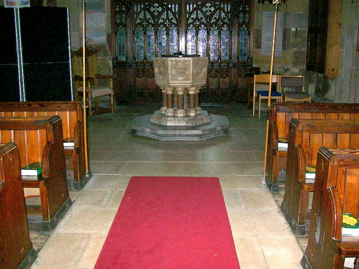
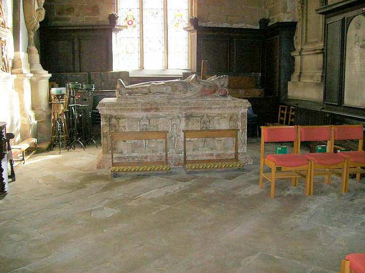
Wikipedia. Alliance Evangelical Church off Avenue Road, as seen by Streetview in 2023. SK 3548 1611. Link. Baptist Church on Brook Street. SK 3570 1678. © Rob Brettle. Two further views - 1, 2, both © BereniceUK (2010). The date stone says 1862. Link. Grade II listed. The boundary wall, etc., share a listing, as grade II. Large scale O.S. maps indicate a Chapel as part of the ruins of Ashby Castle, at SK 3613 668. A photo can be seen on the castle's Wikipedia entry. Christadelphian Hall on Union Passage, undergoing refurbishment. Another view. SK 3576 1666. Both © BereniceUK (2010). Link. Congregational Church, off Kilwardby Street. Another view. Although the Wikipedia entry gives a date for the building of 1825, the sign at the entrance says 1662. The latter must refer to the foundation of the congregation, as stylistically, 1825 must be about right for the building. SK 3550 1669. All © BereniceUK (2010). Link. Grade II listed. Holy Trinity (1838) off Kilwardby Street. SK 3550 1658. From an old postcard in Reg Dosell's Collection. Three modern views - 1, 2, 3, and three interior views - 1, 2, 3, and the altar, all © BereniceUK (2010). Link. Grade II listed, wherein it's dated to 1838-40 by St. Aubyn. Kilgardby Street Wesleyan Methodist Chapel (ca. 1840, re-built 1869/70, demolished 1985). Interior view. SK 3554 1668. Photographs of photographs, taken by BereniceUK, and reproduced by kind permission of Ashby de la Zouch Museum, who retain copyright. A road was built over its site (2015 Streetview). Link (has an old illustration). Methodist Church on Burton Road, and an interior view. The foundation stone is dated 1906, and this source says it was originally Primitive Methodist. SK 3555 1683. Both © BereniceUK (2010). Link. Older O.S. maps show a Mission Room on Derby Road at SK 3556 1693. Although unlabelled, it appears to be shown on a map of 1886, was certainly present in 1904, and is perhaps shown (though not as a place of worship) on a map of 1951. It appears to have been quite a substantial building, and its centre is roughly marked by the gap between the housing and building to its left in this Streetview from 2023. Our Lady of Lourdea and St. Charles Borromeo (R.C.) on Station Road. It's dated to 1908-15 in its grade II listing. SK 3559 1656. © Graeme Harvey. Three further views - 1, 2, 3, all © BereniceUK (2010). Link. The former Primitive Methodist Chapel is now in secular use. It was a Baptist Chapel until 1862, and a P.M. from 1862 to 1906. Another view. Circa SK 3580 1685. Both © BereniceUK (2010). St. Helen was re-built in 1474. The tower, and four interior views - 1, 2, 3, 4. SK 3609 1677. All © BereniceUK (2010). Another view, the altar, the font, and a tomb, all © David Regan (2013). Link. Grade I listed. For related listed features, see here.
|
||
11 January 2024
© Steve Bulman