The Churches of Britain and Ireland
| Adlington, Lancashire
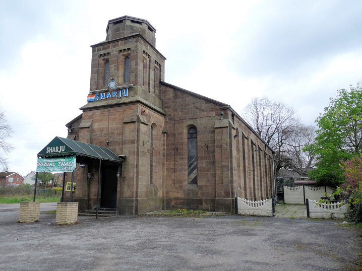
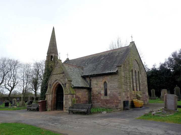
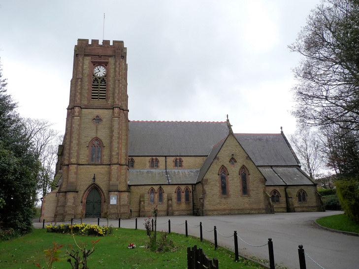
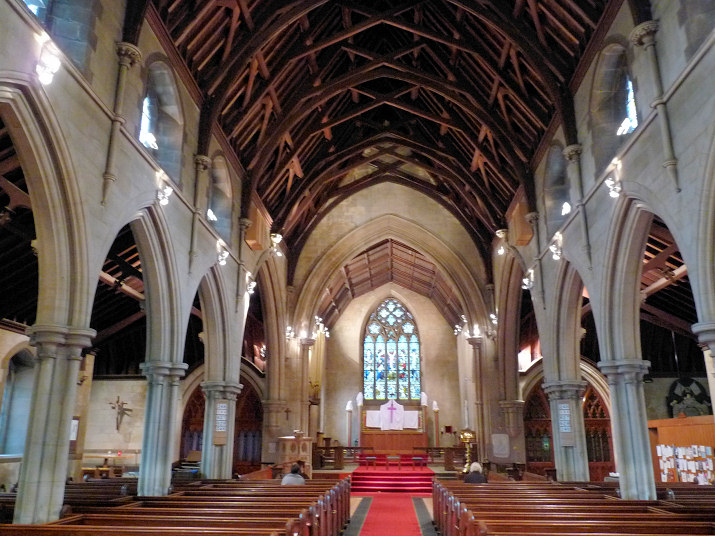
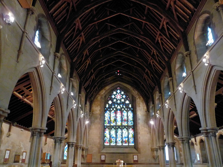
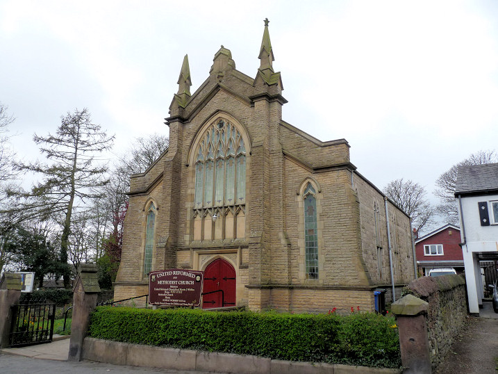
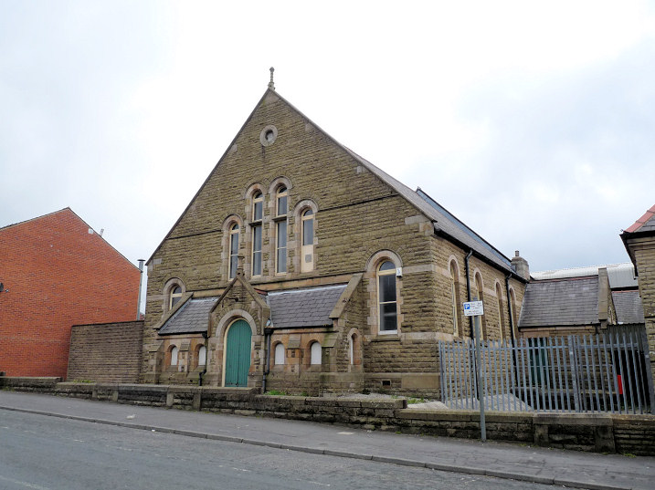
The former Christ Church (1839-1975) on Church Street, now in secular use. SD 6013 1318. © Mike Berrell (2012). Grade II listed. Mortuary Chapel (1875) in Adlington Cemetery on Chapel Street. It's labelled on large scale old maps as Undenominational. SD 5977 1278. © Mike Berrell (2012). About ¼ of a mile east of St. Paul's church is St. Joseph (R.C.) on Bolton Road. It was seen by Streetview in 2009. SD 6076 1350. Link. The history page dates it to 1862-3. St. Paul on Railway Road. Two interior views - 1, 2. SD 6034 1351. © Mike Berrell (2012). Facebook. Grade II listed. St. Philip used to stand on Golborne Street (now Mayfield Avenue) at SD 6032 1326. Pre-dating a map of 1908, its site is now a car park, seen by Streetview in 2022. Its Genuki entry provides dates of 1900-1934. U.R.C. and Methodist, originally Congregational (1861) on Railway Road. SD 6036 1340. © Mike Berrell (2012). The former Wesleyan Methodist Chapel (1853 - 2002) on Market Street, now in secular use. SD 6008 1289. © Mike Berrell (2012).
|
||
15 July 2025
© Steve Bulman