The Churches of Britain and Ireland
| Stirling
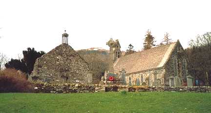
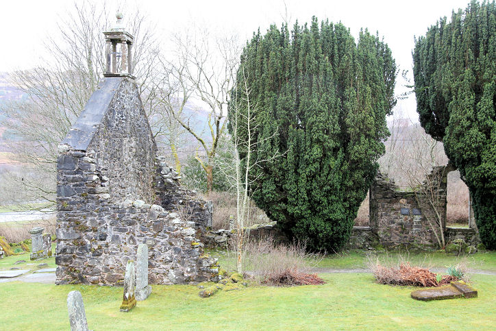
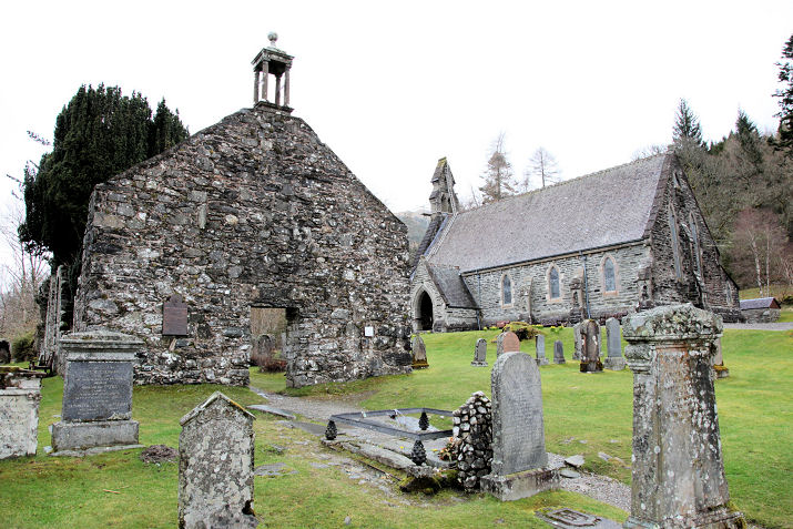
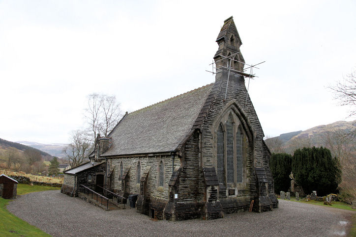
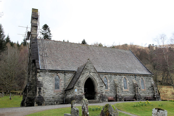
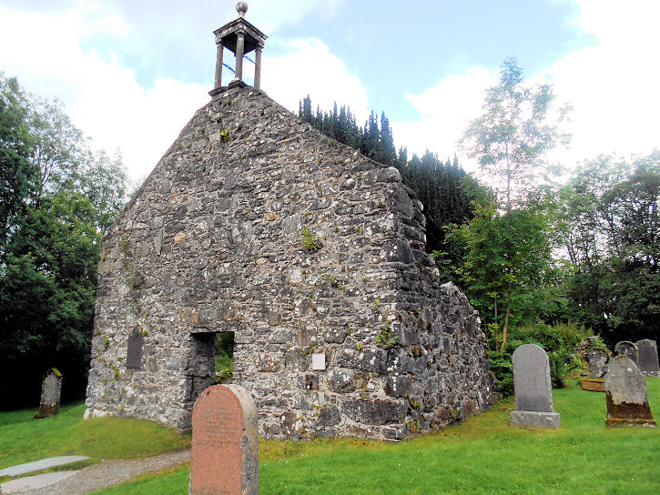
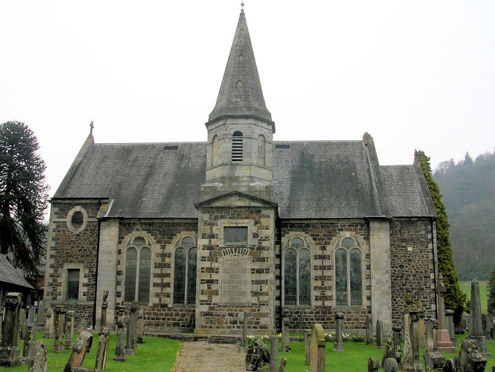
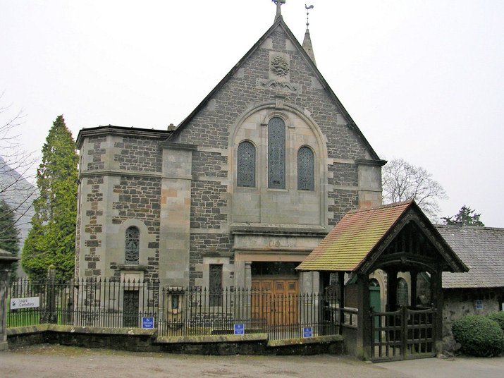
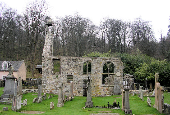
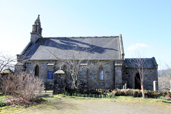
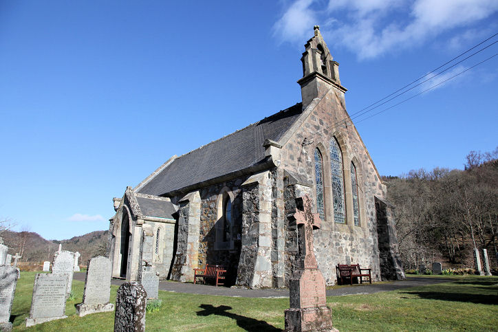
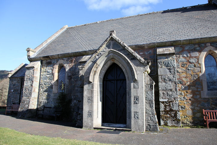
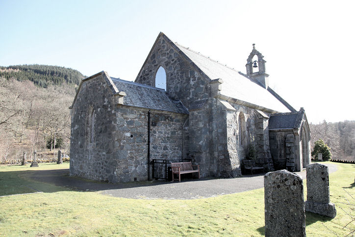
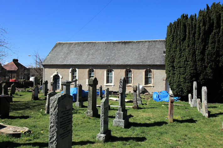
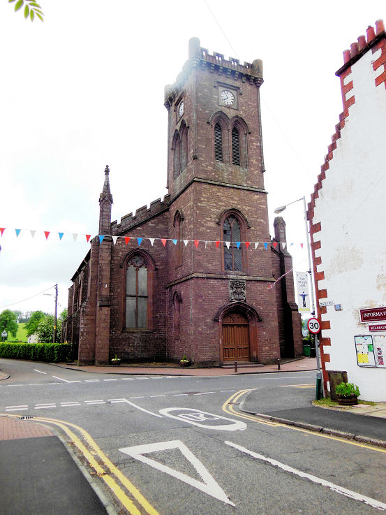
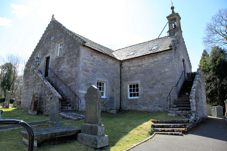
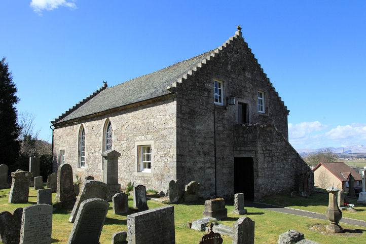
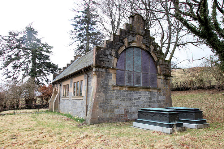
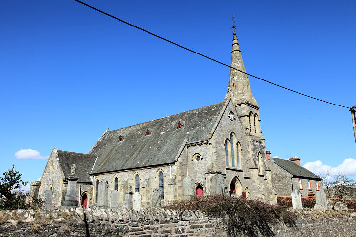
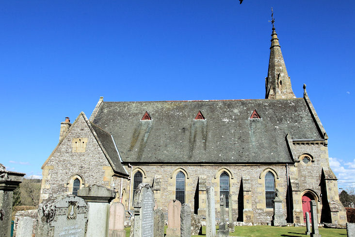
Balquhidder, the
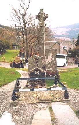
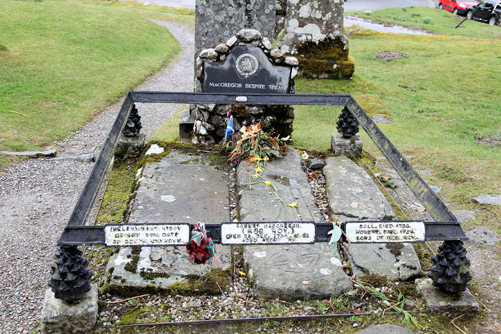
Auld Kirk and the New Kirk (1855). The gravestone of Rob Roy
McGregor. NN 536 209. Both © Bill Henderson. Two additional views of the old kirk - 1,
2, two of the new - 1, 2,
another photo of Rob Roy McGregor's burial place, and a close-up of the
grave-marker, all © Dennis Harper (2013).
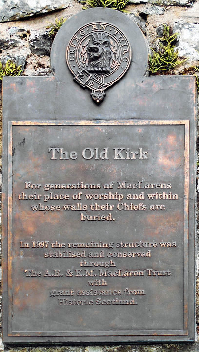
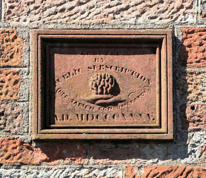
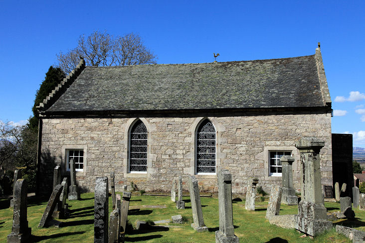
Another view of the old and
new kirks, and of a
plaque on the auld kirk,
giving a little history, all © Bill Henderson (2016).
Auld Kirk link.
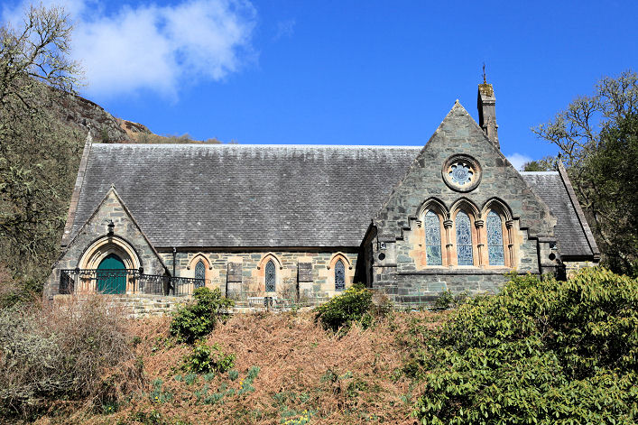
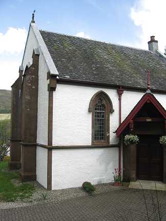
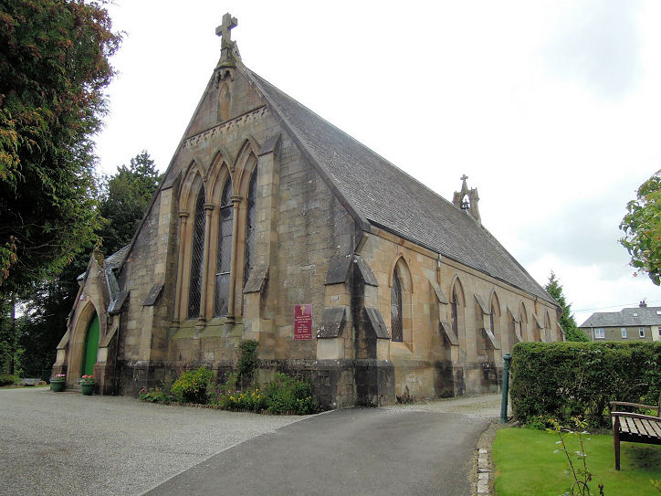
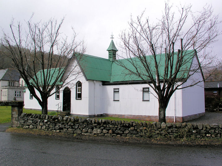
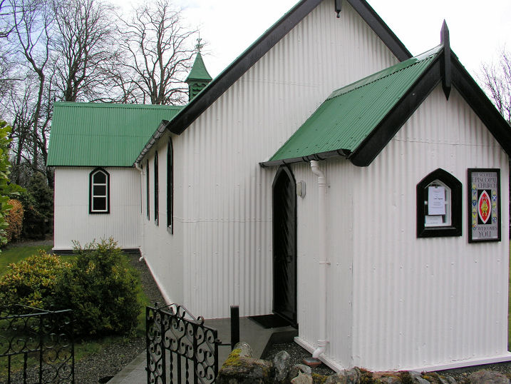
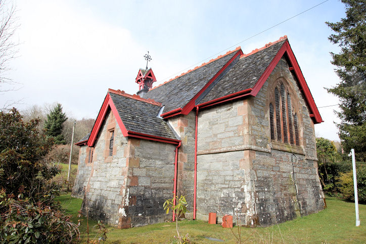
New Kirk link. Callander. Doune, St. Madoc (Scottish Episcopal, 1877). Two
additional views - 1, 2. NN 725 015. All © Dennis Harper (2013).
Grade B listed.
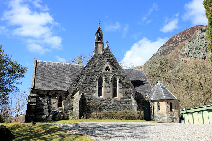
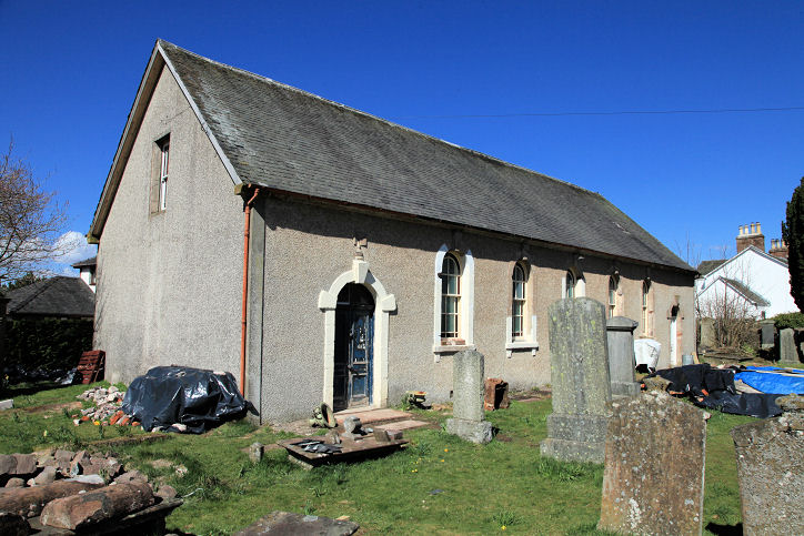
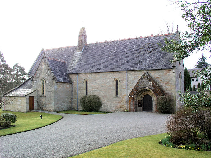
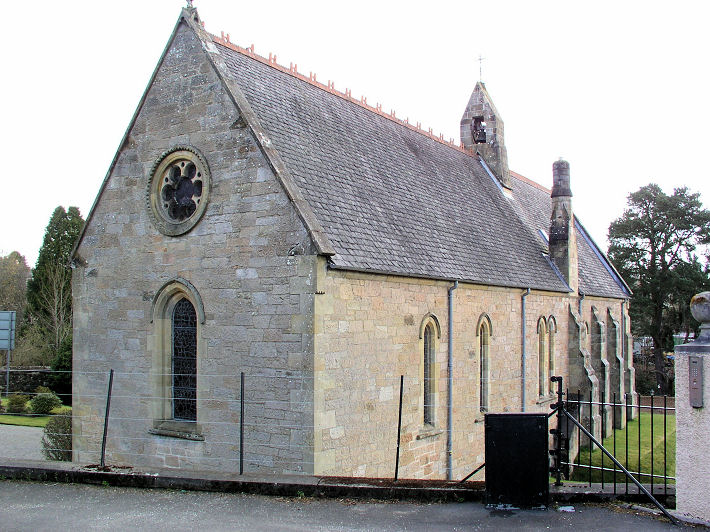
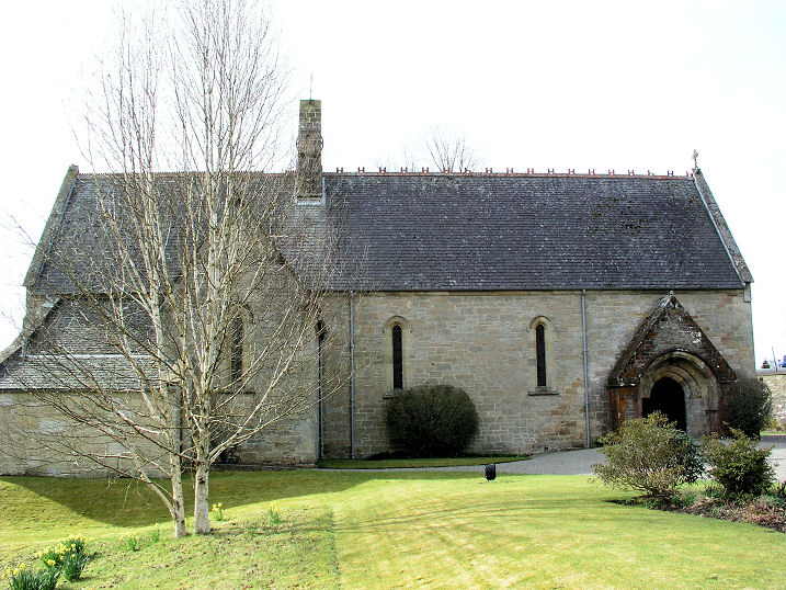
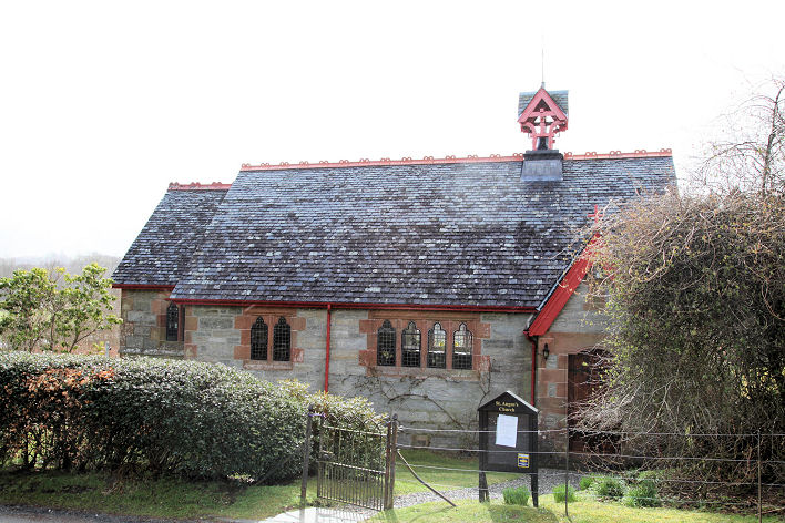
Kincardine in Menteith Church of Scotland, a mile south of Doune.
Another view. NS 719 988. Both © Dennis Harper (2013). Another view, ©
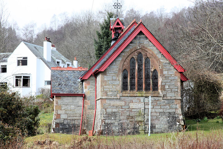
Alan Blacklock. A former Church of Scotland, disused in 2013, with a possible future as a house conversion. NN 728
015. © Bill Henderson (2013). St. Fillan and St. Alphonsus (R.C.). © Adam Schofield (2014).
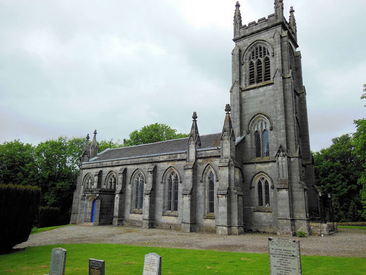
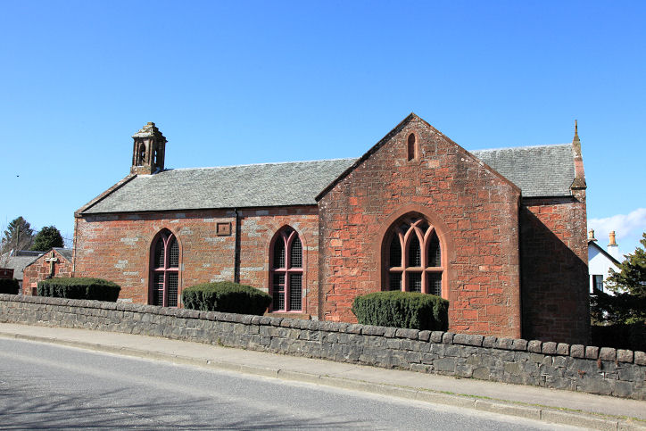
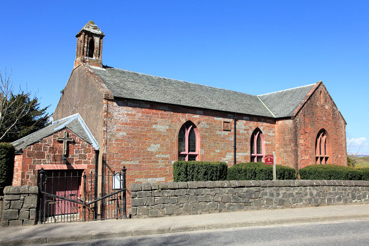
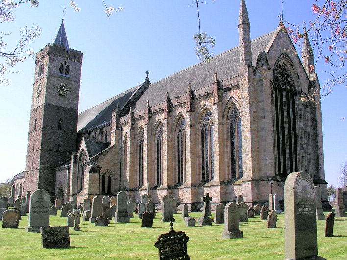
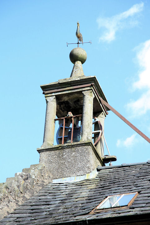
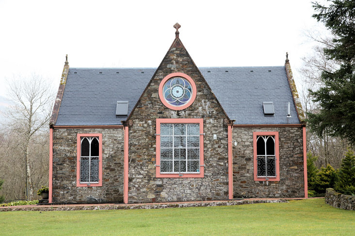
Link. Gargunnock, Church of Scotland (1628, on the site of a medieval church). Two additional views - 1, 2, and the bell-turret. NS 707 943. All © Dennis Harper (2013). Link1. Link2. Link3.
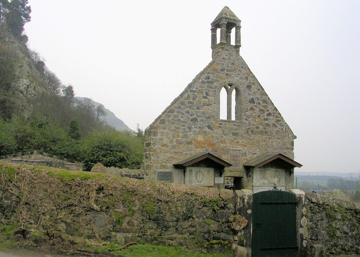
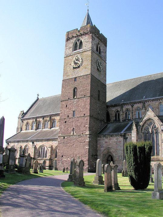
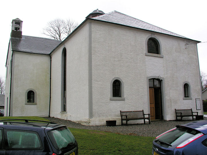
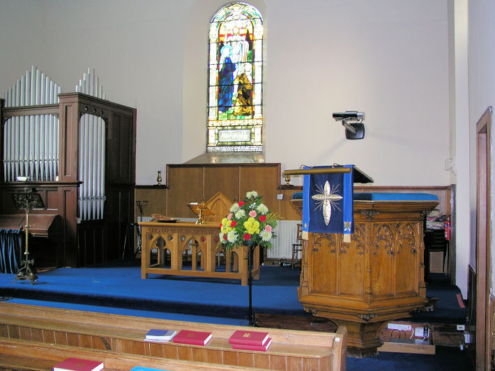
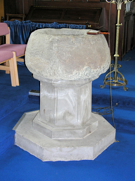
Killin, Killin and Ardeonaig Church of Scotland (1744). Another
view, interior view, and the font. NN 5734 3324. All
© Dennis Harper (2013). Link1.
Link2. St. Fillan (1876,
Episcopal) on Main Street, a tin tabernacle.
NN 5737 3316. © Dennis Harper (2005). As of 2013 (or earlier), Catholic Masses are also said here. Two additional views - 1,
2, both © Dennis Harper (2013).
Link.
News item. A Free Church once stood on
Main Street at NN 5726 3301. It pre-dates a map of 1867, and a drawing
of it can be seen
here.
Available old maps only allow me to de-limit its demolition to between
1901 and 1977. Its site
can be seen on a Streetview from 2009. Older maps mark a Church (site
of) at NN 5712 3301. Its site lies to the left of, and closer to the
camera than the white house, as seen from Fingal Road by Streetview in
2009. A photo of Fingal's Stone, originally supposed to have
stood within the churchyard, but now re-located further down the hill,
can be seen
here.
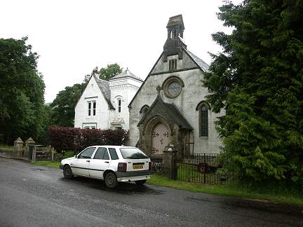
Link. Lochearnhead, St. Angus (Episcopal, 1888). Two additional views - 1, 2. NN 5885 2323. All © Dennis Harper (2013). Link. Less than half a mile south stands a former Church of Scotland, now a private residence. NN 5894 2280. © Dennis Harper (2013). Milton Morenish, Morenish Chapel (1902) at Tomocrocher. Another view. NN 608 356. Both © Dennis Harper (2013). Link. Thornhill, Norrieston Parish Church (CoS, 1844) on Main Street. NN 670 000.
Another view. Both © Dennis Harper (2013).
Link.
Grade B listed.
|
||
20 June 2026
© Steve Bulman