The Churches of Britain and Ireland
| South Lanarkshire South Lanarkshire on Wikipedia.
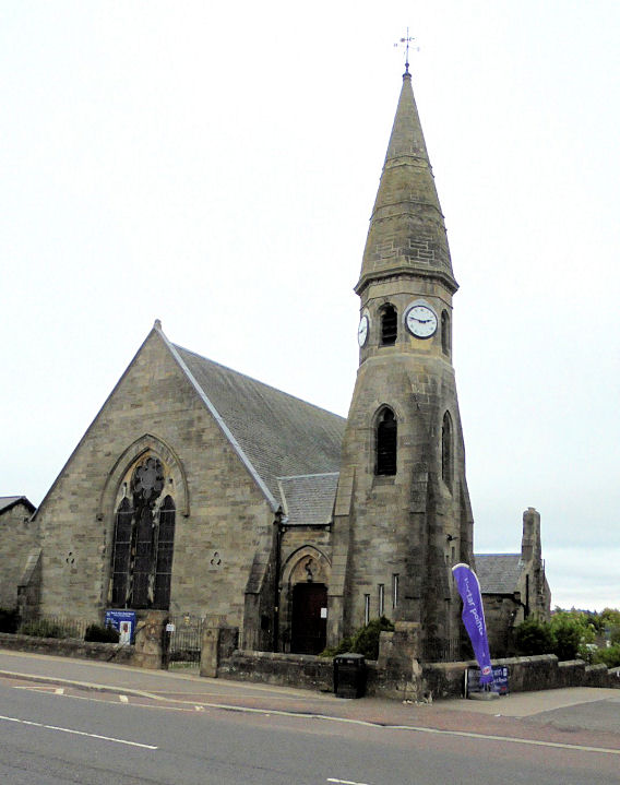
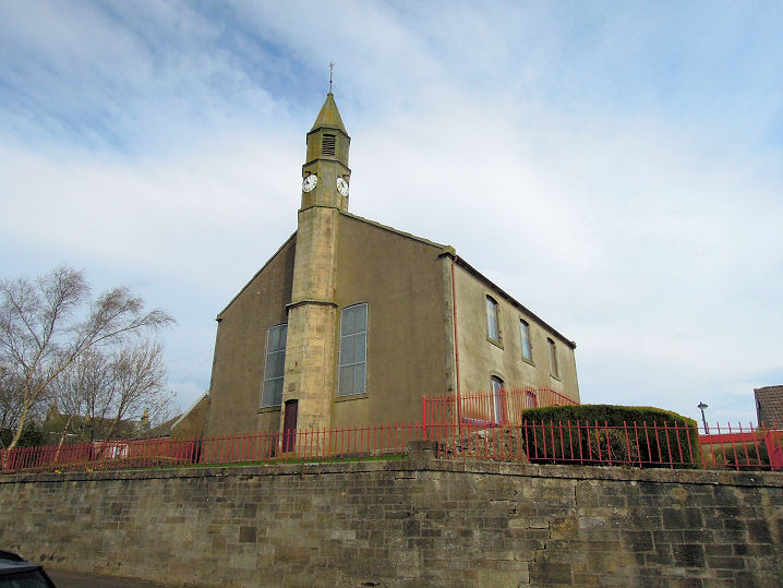
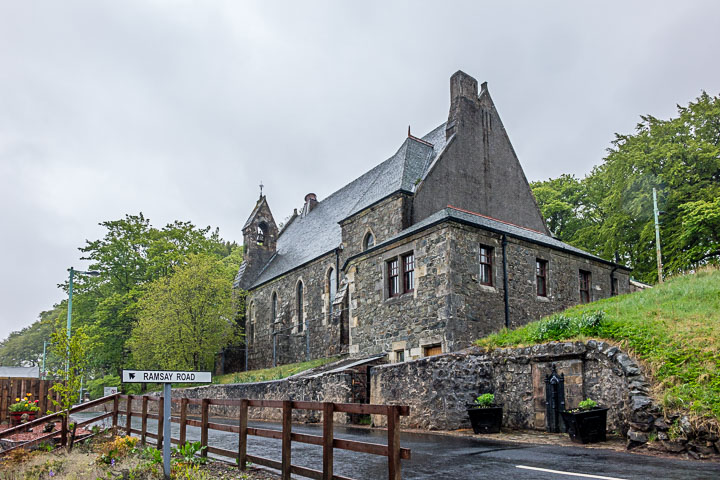
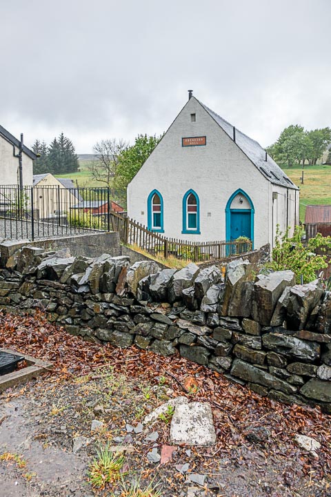
Biggar, Biggar Kirk (CoS). A difficult church to photograph well. Two additional views - 1, 2. Closed when I visited, this link has interior views. NT 0404 3790. Link1. Link2. Category A listed, wherein it's dated to 1545. The graveyard as a whole is Category B listed. The nearby Moat Park Heritage Centre is the former Moat Park Church (1865). Its various denominations can be followed on old maps, and Janet Gimber advises that these include United Presbyterian in 1897, United Free in 1910, the unhelpful "Church" (1940), and Gillespie Moat Park Church (CoS) in 1975. NT 0398 3785. Link. Category B listed. The former Gillespie Church, now the Gillespie Centre. It closed before 1977 (see link). Old maps show the following - South UP Church (1858), Ch. (1897), UF Ch. (1910), Ch. (1940), and in 1975 as Ch. Hall. This is presumably the Church Hall for Moat Park Church. NT 0411 3776. All © Steve Bulman (2013). St. Isidore (R.C.) on Coulter Road, as seen by Streetview in 2009. NT 0375 3748. Link.
Carluke.
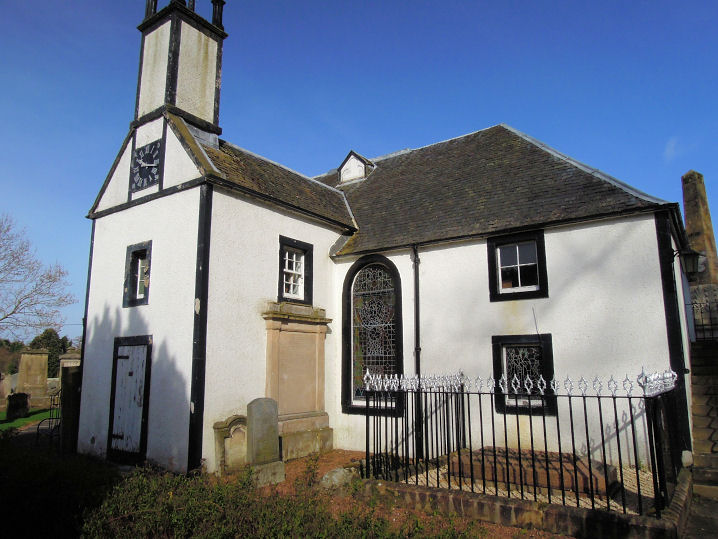
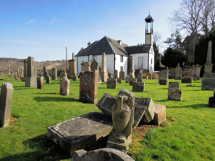
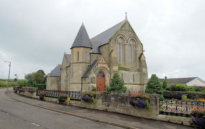
Dalserf, Dalserf Parish Church (CoS) on Kirk Road. Another view.
Both © Adam Schofield (2014). Link.
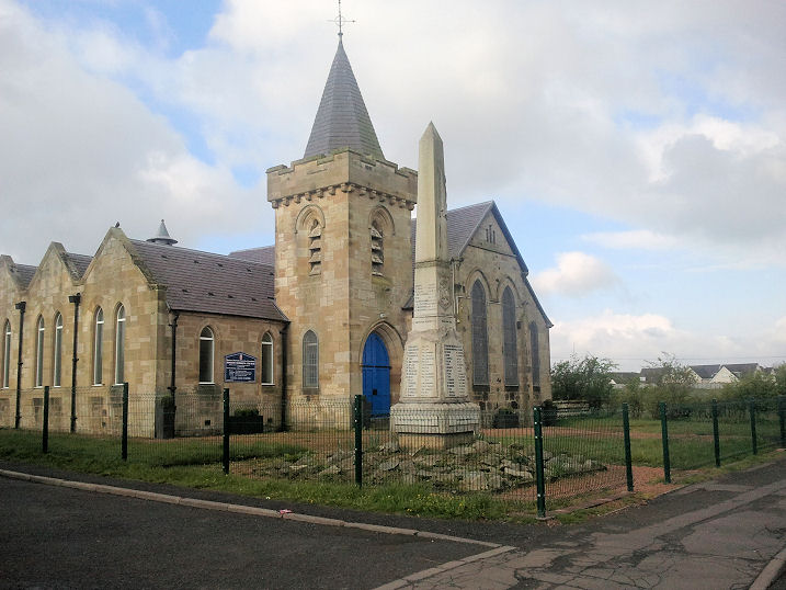
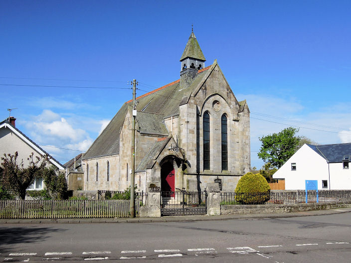
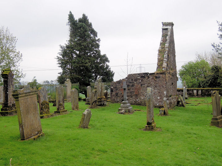
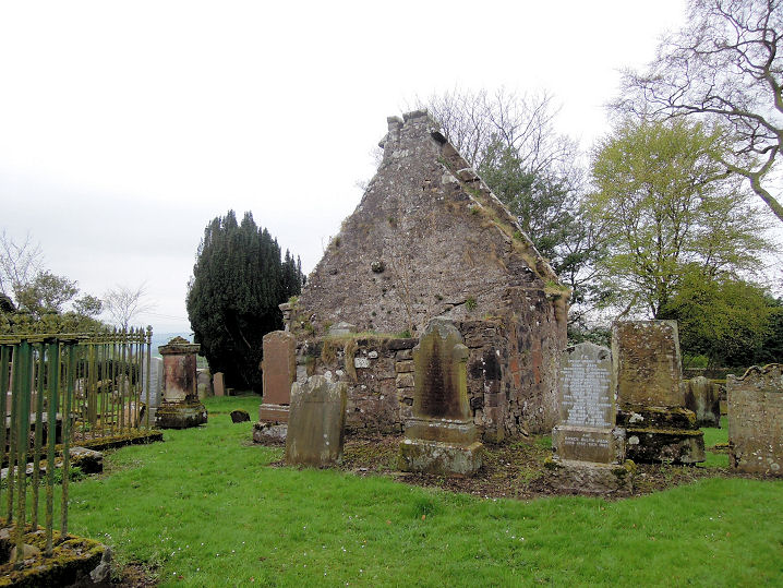
Forth, St. Paul (CoS). NS 9420 5377. © Chris Kippin (2021). Link. Older maps show a United Presbyterian Church at the south of the village, off the A706 at NS 9411 5356. It survives, and can just be glimpsed in the background here on a Streetview from 2008. St. Mary Magdalene (R.C.) on Hailstonegreen, as seen by Streetview in 2009. Link. Glassford, Church of Scotland (1820). NS 725 470. Link. Grade B listed. The ruins of the Old Parish Church. Another view. NS 732 470. Grade B listed. All © Adam Schofield (2014).
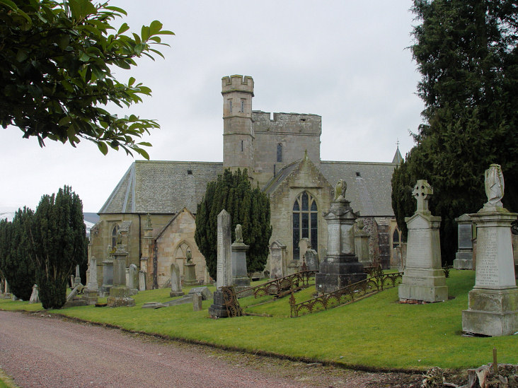
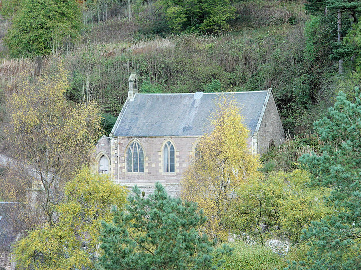
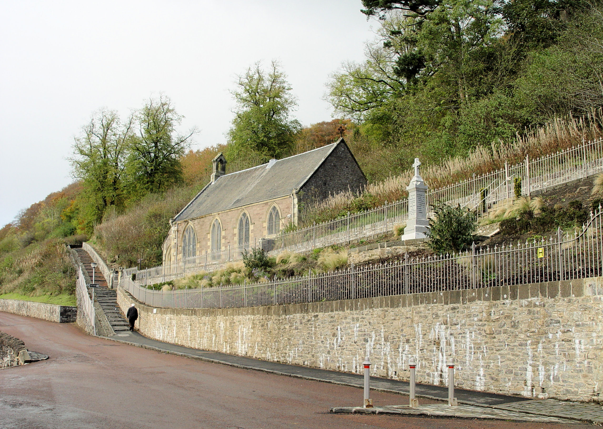
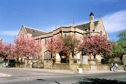
Lanark. New Lanark, the former chapel, now in use as the village hall. Another view. Circa NS 880 426. Both © Steve Bulman (2013). Quarter, Parish Church (CoS, 1884) on Limekilnburn Road. © Adam Schofield (2014). Grade B listed. Rutherglen, the Old Parish Church, which was consecrated in 1902, was the fourth to be built on the site. NS 612 617. © Hugh Millar. The church website also has images of the second and third churches.
|
||
15 July 2025
© Steve Bulman