|
|
East Riding of Yorkshire
East Riding of Yorkshire on Wikipedia.
Adlingfleet, All Saints.
Interior view and
side altar. This
memorial is to Mary
Ramsden, who left her fortune to St. Catherine's College, Cambridge. A ceremonial
cleaning is undertaken yearly, known as "Washing Mary Ramsden's neck".
SE 8439 2100. All © James Murray.
Two tombs - 1,
2, and the
font, all © David Regan
(2026). A 2009
Streetview, and a
rotatable interior view.
Link.
Grade I listed. The former
Wesleyan Methodist
Chapel on Grange Road, at SE 8447 2105. © David Regan (2026). A 2020 photo
here dates the chapel to
1860.
Link says it was closed in 1937. Older maps also show Ebenezer Primitive
Methodist Chapel on Manor Road at SE 8435 2102. Demolished, its site can be
seen here in 2009.
It remained undeveloped in 2026. It seems to have gone out of use before 1940.
Link.
Airmyn, St. David.
SE 7258 2516. © Bill Henderson. Another view, © James
Murray. Link.
Grade II listed.
Aldbrough, St. Bartholomew.
TA 2442 3872. ©
James Murray. Another view, ©
David Regan (2016).
Link.
Grade II* listed. The Methodist Church
on High Street.
TA 2421 3856. © James Murray. The former
Wesleyan Methodist Chapel
on High Street. The smaller building to the left has a tablet - "Sabbath
School for Children of Every Denomination. 1835, Restored 1907". TA 2416
3854. © James
Murray. The former Primitive Methodist
Chapel on Hornsea Road is dated 1850. TA 2405 3863. © James Murray (2009).
Link.
Allerthorpe, St. Botolph (O). SE
7857 4743. © Bill Henderson. Another view, two
of the interior
- 1, 2, and the
font, all © David Regan (2012).
Link.
Grade II listed.
The former
Methodist Chapel across
the road from the church is labelled on older maps as Wesleyan. It's
dated
here to 1869-1974. SE 7854 4745. © David Regan (2012).
Anlaby and Anlaby Common, Hull - see Hull.
Atwick, St. Lawrence (1847, on
the site of an earlier church) stands outside the village to its west. TA 1846 5080. © James Murray.
Link. The former Primitive
Methodist Chapel (1856-1987), now converted to residential use.
Howard advises that the Victoria County History is in error when it says
that the Wesleyan Chapel remained open after 1932, when in fact it was
this P.M. Chapel that did so. It was presumably still active in 1976, as the OS map
for that year marks it as Meth. Ch. TA 1912 5087. © Howard Richter (2015).
The site of the
demolished Wesleyan Methodist Chapel, now occupied by Chapel Croft,
on Hornsea Road. The date of demolition is uncertain - the best that can
be said is that it preceded 1976, as an OS map of that vintage names
the house. TA 1909 5078. © Howard Richter (2015). O.S. maps also show a
Mission Room on Bewholme Road, at TA 1904
5080. It, or the house built on its site, was seen by
Streetview in
2022.
Aughton, All Saints. Older O.S. maps
label it as All Souls. SE 7017 3865. © Bill Henderson. Two further views - 1,
2. An inscription on the tower is a memorial to the
Pilgrimage of Grace - the leader, Robert Aske, was associated with nearby Aughton Hall.
All © David Regan (2012).
Link.
Grade I listed. A churchyard gravestone from the early 18th century
is listed as
grade II. There used to be a Wesleyan
Methodist Chapel on Main Street, at SE 7084 3861. It shows on a
map of 1854, and would seem to have gone out of use by 1950.
Subsequently demolished, all trace of it has gone. Its site is to the
right of road as seen in a
Streetview from
2009.
Avenues, Hull - see Hull.
Bainton, St.
Andrew. SE 9651 5236. © Bill Henderson. An
old postcard view (franked 1906) from
Christopher Skottowe's Collection.
Link.
Grade I listed. The
Wolds Methodist Church on Dead Lane. SE
9639 5241. © James Murray.
Link. A former Primitive Methodist
Chapel stands on West End (this was previously also part of Dead Lane,
before it was bisected by the A614. It can be seen on a 2010 Streetview
here. Its My Primitive
Methodist
entry dates it to 1837. SE 9631 5241. Old maps show that the village also
had a Wesleyan Chapel, at SE 9631 5234. It
pre-dates the 25" O.S. map of 1910, and was probably demolished to allow for the
building of the Back Street access road, off the A614. It stood about where the
road starts to curve to the right in this
Streetview.
Barmby Moor, St. Catherine. SE 7765 4894. ©
Paul Brown. Another view, © Bill Henderson. An old postcard view,
from Reg Dosell's Collection.
Link.
Grade II* listed. The
Methodist Church (2010 Streetview) is on Chapel Street at SE 7788 4902.
Older maps label it as Wesleyan. This un-dated
source
says the chapel is now closed, and dates it to 1869, successor to an earlier
chapel of 1807. A map of 1854 shows it to have been on the same site. A little
way further south on Chapel Street is/was a Primitive
Methodist Chapel at SE 7787 4894, shown on a map of 1910. A map of 1854
shows an earlier P.M. chapel at SE 7787 4896 - assuming this isn't an error on
the part of the map makers. This
source provides dates of 1834-1930's. Again, if there really were two
chapels, their sites can be seen in one Streetview from 2008 - the later chapel
might be the orange-painted house or is on its site, and the earlier chapel lies
beneath the green wooden building.
Barmby on the Marsh, St. Helen. SE
6901 2843. © Bill Henderson.
Link.
Grade II listed. There's also a
grade II listed gravestone. Methodist Church
on High Street is dated 1902, as Primitive Methodist. This
source dates the P.M. Chapel here to 1833, enlarged or re-built in 1902. SE
6899 2855. © Bill Henderson.
Link.
The Wesleyan Methodist Chapel stood further west on
High Street at SE 6870 2873. It pre-dated a map surveyed in 1849, and had gone
out of use by the middle of the last century.
Barmston, All Saints. TA 1565 5886. © James Murray.
Link.
Grade I listed. The Methodist Chapel is on
Chapel Lane off Sands Lane at TA 1627 5904. Older maps label it as Wesleyan, and
it pre-dates one of 1854. It was seen (distantly) by
Streetview in 2016, and
Wikipedia provides
another view.
Link.
Beeford, St. Leonard. TA 1289 5438.
© James Murray.
Link.
Grade II* listed. A map of 1854 shows three chapels, Wesleyan and Primitive
Methodist, and Independent (later Congregational), all on the south side of Main
Street. The latter stood at TA 1261 5403, and it's dated
here to 1810, "closed by 1922", and "derelict in 1996". It has since been
demolished, and housing built on its site -
2021 Streetview. The
Primitive Methodist was at TA 1302 5418, and
evidently considerably enlarged or re-built between the time of the maps of 1854
and 1910. Exterior and interior photos can be seen
here, where it's dated
to 1842 or just before, closed in 1964, and semi-derelict in 2000. It has since
gone, and been replaced by the housing seen by
Streetview in 2011. The
Wesleyan survives as the town's
Methodist Church, at TA 1285 5412. It has a
date-stone for 1866. There had been an earlier chapel or chapels on a site
somewhere further west on Main Street, dated
here to 1823, and possibly earlier.
Link.
Bempton, St. Michael. TA 1912 7210. © James Murray.
Another view, three of the interior -
1,
2,
3, and the
font, all © David Regan (2020).
Link.
Grade II* listed. The churchyard war memorial is also listed, at
grade II. The Methodist Church stands
on High Street and School Lane at TA 1878 7225. It replaced a Wesleyan chapel of 1825 in 1903.
Another view. The window lintels are unusual, being composed of
multiple blocks. All © Howard Richter (2013). A
2021 Streetview shows
that the church has been converted to residential use. The former
Primitive Methodist Chapel on Bolam lane. Probably built in the 1840's (it shows on the OS map of 1851), evidence
suggests that it finally closed in the 1960's. This
source says 1843-1964. Another view. TA 1871 7221. Both © Howard Richter (2013).
Bessingby, St. Magnus, a Temple Moore
church of 1893-4. TA 1590 6594. © Bill Henderson.
Another view, © David Regan (2020).
Link.
Grade II* listed. This
source says there was a predecessor on a different site. This shows on a map
of 1854, a short distance to the south, at TA 1591 6592. Nothing can be seen of
the site on Streetview because of vegetation.
Beswick, St. Margaret. An interior
photo can be seen
here. TA 0124 4812. © James Murray.
Link.
Beverley.
Bewholme, St. John the Baptist. It
post-dates a map of 1855, and is shown on one of 1910 as St. John's Mission
Church. The village Wikipedia
entry dates the church to 1900. TA 1656 5007. © James
Murray. Link.
Wesleyan and Primitive
Methodist Chapels pre-date the 1855 map. The Wesleyan on Skipsea Road and
Water Lane at TA 1645 5017 and the P.M. on Atwick Road and Seaton Road at
TA 1658 4996. What I assume is the converted Wesleyan (Wesley House) was seen by
Streetview in 2022. The
P.M. also survives, converted, and was seen in
2016.
Bielby, St. Giles. SE 7886 4372. © Bill Henderson.
Link1.
Link2.
Grade II* listed. The village also has a former
Wesleyan Methodist Chapel
(2021 Streetview), at SE 7892 4370.
Grade II listed - dates it to 1837.
Bilton,
St. Peter. TA 1563 3271. © James Murray.
Link.
Grade II listed
- dates it to 1852.
Bilton Grange, Hull - see Hull.
Bishop Burton, All Saints. SE 9905
3973. © Shona Murdoch. Two interior views - 1,
2, both © Jack Nicholson.
Link.
Grade II* listed. A map of 1855 shows a Wesleyan
Methodist Chapel (dated 1840) on Pudding Gate, at SE 9887 3970, and a
Baptist Chapel on Callas at SE 9896 3962. The
Wesleyan survives, converted -
2021 Streetview. The
Baptist Chapel is dated here
to 1770-1954, and subsequently demolished. Its site was seen by
Streetview in 2008. The
building to its left is the surviving manse.
Bishop Wilton, St.
Edith. SE 7982 5521. © James
Murray.
Link.
Grade I listed. There's an unusual listed feature in the churchyard, a
Victorian lamp-post, at
grade II. A map of 1854 shows Primitive and
Wesleyan Methodist Chapels, both on Main Street.
The converted Wesleyan survives, and has a
date-stone calling the chapel Bethel, of 1810.
2025 Streetview. It's
dated to 1810
here. SE 7964 5505. The P.M. may survive as a shop -
2025 Streetview. It's
dated
here to 1838, replacing an earlier (un-located) chapel.
SE 7978 5506.
Blacktoft, Holy Trinity. SE 8411 2431. ©
Tim Pickles. Interior view, © (and
starring) James Murray. James advises the this church was formerly known as St.
Clement. Another interior view, ©
Bill Henderson.
Link.
Grade II listed. The former Wesleyan
Methodist Chapel,
now a private residence. SE 8453 2424. © James Murray.
Grade II listed - dates it to 1839. It shows as still in active use on a map
of 1960.
Bolton,
Bolton with Fangfoss Methodist Chapel, built as Wesleyan
in 1869. SE 7715 5222. © David Regan (2012). This
source (not working when tested in 2026) says it was closed in 2022.
Boynton, St. Andrew. TA 1366 6798. © James Murray. Two interior views - 1,
2, and the altar, all © Kenneth Paver.
Link.
Grade I listed.
Brandesburton, St. Mary. TA 1194 4764. © James
Murray. An old postcard view, from Reg Dosell's Collection.
Link.
Grade I listed. The former Chapel, on the road to
Beeford. Originally Primitive Methodist, and later Methodist, it appears to have
gone out of use in the late 1970's or early 1980's. This
source dates it to 1870. Now the Chapel Moor Pets' Crematorium (link).
TA 1245 5040. © James Murray. Shown on a map of 1855 are an
Independent Chapel on Little Burton at TA 1150 4755, and a
Wesleyan Methodist Chapel on Stockwell Lane at TA
1167 4736. The latter has been converted, and is now Wesley House, seen by
Streetview in 2010. The
building on the site of the Independent Chapel, seen by
Streetview in 2008,
looks old enough to be the converted chapel. The present
Methodist Church (2021
Streetview) is on Main Street. It pre-dates a map of 1953. TA 1167 4747.
Link.
Bransholme, Hull - see Hull.
Brantingham, All Saints. SE 9438
3008. © Geoff Wardle.
Two further views - 1,
2, both © Tracey Kitching.
Link.
Grade II* listed.
Bridlington.
Broomfleet, St. Mary.
Interior view. SE 8816 2723. Both
© James Murray.
Grade II listed. The former
Primitive Methodist Chapel on
Main Street has been closed for many years. SE 8824 2734. © James Murray.
Link dates it to 1861-1936. O.S. maps show, at SE 8807 2712,
Chapel (Site of) off Chapel Garth. It stood
somewhere to the right of the house seen in a Streetview in 2009. I haven't been
able to discover anything about it.
Brough, All Saints on Welton Road
and Wrygarth Avenue. SE 9404 2687. © Tim
Pickles.
Link. Methodist Church on Welton
Road, and its interior. SE 9415
2686. Both © James
Murray. Its probable predecessor (Wesleyan) shows
on older O.S. maps on Station Road at SE 9373 2662. Dated
here to 1853, it's now in commercial use -
2022 Streetview.
Bubwith, All Saints. SE 7116 3618. © James Murray.
Another view, four of the interior -
1,
2,
3,
4, and the
font, all
© David Regan (2026).
Link1.
Link2.
Grade I listed. A map of 1909 shows a Friends' Meeting
House on Main Street at SE 7118 3639. Its
site now lies beneath a driveway. This
source
dates it to 1879, a corrugated iron building. © David
Regan (2026).
The same map also shows an
otherwise unidentified
Chapel a little way further
east on Main Street, at SE 7129 3637. Now known as Old Parish Hall, it
has a date-stone for 1862. It's identified as Primitive Methodist
here.
© David Regan (2026).
A map of 1854 shows a
Wesleyan Methodist Chapel off
Church Street at SE 7145 3627. An old directory quoted
here
dates it to 1796, enlarged 1870. It shows as still active on a map of 1960.
© David Regan (2026).
Bugthorpe, St. Andrew. SE 7724
5788. © James Murray.
Another view, two of the interior -
1,
2, the
ceiling, a
monument, and the
font, all © David Regan (2025).
Link.
Grade I listed. This next entry is puzzling. O.S. maps show a
Wesleyan Methodist Chapel on Beck Row on early to
mid-20th century maps, consistently at SE 7734 5805. Its site was immediately to
the left of the house seen in a
2009 Streetview. A
grade II listing exists for a Methodist Church on Beck Row located at
SE 77298 58100. The description matches a small building at that grid reference,
seen here, also in a
2009 Streetview. It seems too small to have been a chapel, but who knows?
Burnby, St. Giles. SE 8357 4638. © James Murray.
Link1.
Link2.
Grade II* listed.
Bursea Chapel - see Holme upon Spalding Moor,
below.
Burstwick, All Saints. TA 2277
2803. © James Murray.
Two further view - 1,
2, both © David Regan (2016).
A 2025
news article (with interior view) tells of its closure.
Grade I listed. The former
Primitive Methodist Chapel of 1893 (date-stone).
Note that Pevsner says 1898. A spire was removed in 2007 - see these before (1,
2) and
after photos on Geograph.
In 2015, a
planning application (no longer available) was in place seeking permission to convert to residential
use. Another view. TA 2278
2766. There was an earlier P.M. Chapel of 1826, at about TA 2285 2787. Two
Chapel Cottages (2021 Streetview) stand on the site, and even has roughly the
same footprint as the chapel. Can this be the same building converted to
residential use? There was also a Wesleyan Chapel at about TA 2285 2772. Not
mentioned in a directory of 1840, it shows on the OS maps of 1855, 1890 and
1910. Howard suggests that it may be the off-white building shown
here (2011 Streetview). All © Howard Richter (2015).
Burton Agnes, St. Martin. TA
1021 6326. © Bill McKenzie. Another view, © Bill Henderson.
The following are all © James Murray - interior view, side chapel,
the Boynton Memorial Chapel. Another interior view,
memorial, window, and detail of the
tomb, all © Kenneth Paver.
Link.
Grade I listed. The former Methodist Chapel
(originally Wesleyan), now known as Mere House. Its
grade II listing dates it to 1857 (though my edition of Pevsner says 1837).
TA 1049 6306. © James Murray.
Burton Fleming, St. Cuthbert. TA
0835 7237. © James Murray. Another view,
© David Regan (2020).
Link.
Grade II* listed.
The former Methodist Church,
built as Wesleyan in 1883. TA 0832 7206. © David Regan (2020). A former
Primitive Methodist Chapel stands at TA 0837 7213.
It can be seen on a 2011 Streetview
here. Its My Primitive
Methodists
entry dates it to 1901, a replacement for an earlier chapel of 1838. It was
closed "in the 1970's". The earlier P.M. Chapel is probably the one marked on a
map of 1854, on the south side of a lane running between Front Street and Back
Street, at circa TA 0839 7213. I don't think it survives, and Streetview is
looking onto a low sun, but it stood somewhere on the left of the lane as seen
here in 2009.
Burton Pidsea, St. Peter and St.
Paul. Interior view. The church has a chapel dedicated to
St. Mary. Older maps label it just as St. Peter. TA 2520 3109. All © James Murray. Another interior view, © Kenneth Paver.
Link.
Grade I listed. A Wesleyan Methodist Chapel is
shown on Main Road on a map of 1855, at TA 2483 3135. It was still active at the
time of a map of 1959, but has since been closed and demolished. It's dated
here (where
there is a photo) to 1847, demolished in the 1980's. The bungalow on its site
was seen by Streetview
in 2011.
Carnaby,
St. John the Baptist. TA 1447 6559. © Bill Henderson.
Another view, two of the
interior - 1,
2, and the early
font, all © David Regan
(2020).
Link.
Grade II* listed. The 25" 1911 O.S. map shows a
Wesleyan Methodist Chapel at TA 1469 6561.
The house on the site can be seen
here in a 2010
Streetview. It has the same footprint as the chapel, but it's not
apparent if any fabric of the chapel survives.
Catwick, St. Michael. TA 1309 4538. © James Murray.
Link.
Grade II* listed. A map of 1855
shows Wesleyan and
Primitive Methodist chapels in the village. Neither survives. The
Wesleyan stood on Rowpit Lane at TA 1283 4535, and is dated
here to 1835-1986. Its site was seen by
Streetview in
2010 (the latest available), and there's a photo
here. The P.M. was on Rise Lane at TA 1325 4541, the
house on its
site seen by Streetview in 2008. It's dated
here to 1838-1930's.
Cherry Burton, St. Michael and All
Angels. SE 9929 4196. © James Murray.
Link.
Grade II listed. A Wesleyan Methodist Chapel existed no later than
1852, a Primitive Methodist by 1908.
Genuki (quoting from an old directory) dates them to 1824 and 1850.
Both were on Main Street, the Wesleyan at TA 9882 4213 and the P.M. at
TA 9900 4217. The former now serves as the
village hall
(2021 Streetview), the latter has gone, replaced by the building seen in
a Streetview
from 2011.
Cottingham.
Cowlam, St. Mary. SE 9661 6550. © James Murray.
Link.
Grade II listed.
Cranswick - see Hutton Cranswick, below.
Derringham, Hull - see Hull.
Driffield.
Drypool, Hull - see Hull.
Dunnington (near Beeford), St.
Nicholas. TA 1533 5190. © James Murray.
Link. A vanished
medieval chapel is mentioned
here. This was presumably the one shown as Site of a
Church (Chapel of Ease) on a map of 1855 (pre-dating the present St.
Nicholas), and on the same site. A Wesleyan Methodist
Chapel is shown at the north end of the hamlet on a map of 1910, at TA
1531 5213. Dated 1858, it survives, and was seen by
Streetview in 2010.
Dunswell, St. Faith.
Another view. A victim of the 2007
floods, the congregation were temporarily using a nearby pub (The Ship) for
services. James advises that the church is now (May 2008) fully restored and
back in use. Interior view. TA 0723
3511. All © James Murray. This
source announces that the church was closed in September 2021. Older O.S.
maps show a Chapel at the western end of the village, at TA 0710 3513. It
survives and was seem by
Streetview in 2024 where it can be seen to have a date-stone for 1816, and
called Bethel. It's described
here as belonging to the
Methodist New Connexion.
Easington,
All Saints. TA 3989 1917. © James Murray.
Link.
Grade I listed. A cross base in the
churchyard is also listed as
grade II. The Methodist Church
on Seaside Road was built as Wesleyan in 1850 (source).
TA 4023 1916. © James
Murray. The same source dates the Primitive Methodist
Chapel to 1851. It stands on Back Street at TA 3992 1908, and was seen by
Streetview in 2010.
East Cottin(g)with,
St. Mary. SE 7033 4249. © Bill Henderson.
Link.
Grade II listed - dates it to circa 1780. A map of 1854 shows a
Quaker Meeting House on Church Lane, now the
village hall (2009
Streetview), which Pevsner dates to 1788. It was "former" by 1908. SE 7027 4256.
The Old Chapel on Main Street, at SE 7042 4240, was seen by
Streetview in 2011. It
was originally a Wesleyan Methodist Chapel of 1796
(according to Pevsner), and still in active use at the time of a map of the
1950's.
Grade II listed.
East Cowick, Holy Trinity. SE 6613
2162. © Bill Henderson. An old postcard view, from Reg
Dosell's Collection.
Link1.
Link2 dates it to 1853-4
by Butterfield. A
Wesleyan Methodist Chapel shows on a map of 1853 off High Street, at SE
6626 2120. It had closed by the middle of the 20th century. I can't tell from
aerial views whether it survives, though I suspect not as there is a modern
building in front of its site. It stands or stood behind the right wing of the
building seen here in a
Streetview from 2023.
Eastrington, St. Michael. SE
7965 2998. © Bill
Henderson. Another view, the
side altar (south aisle) and two interior views - 1, 2, all ©
James Murray.
Link.
Grade I listed. The
Methodist Church is on Queen
Street. SE 7968 3010. © Bill
Henderson. A still-available
page
announces its closure in 2022, "after 129 years". The village also had a
Primitive Methodist Chapel on High Street, dated
here to 1871-1923. The
village hall, which looks too recent to be the former chapel, stands on its
site (2009 Streetview) SE 7934 2983.
Ellerker, St. Anne (O). SE 9219 2942. © Tim
Pickles. Two Interior views - 1,
2 - both © James Murray.
Link.
Grade II listed. The former Primitive Methodist
Chapel, now in residential use. SE 9217 2936. © James Murray.
Ellerton, the former St. Mary. Its
story is told here, where its
closure is dated to 1978. SE 7016 3985. © Bill Henderson.
Grade II listed - dates it to 1846-8. It
stands on or close to the site of St. Mary's Gilbertine Priory, more on which
here.
The Methodist Church is at SE 7059
3982. Older O.S. maps show it to have been Wesleyan, pre-dating a map of 1854.
Its grade II listing says early C19, Pevsner has 1811. This
source says
it was closed in 2017. © Bill Henderson. Link.
Grade II listed. The village also had a
Primitive Methodist Chapel a little way further
west, at SE 7052 3982. It's dated
here to 1863-4. Long closed, it's been demolished, and the house on its site
was seen by Streetview
in 2011.
Elloughton, St. Mary the Virgin. SE 9443 2824.
© Tim Pickles. Interior view, ©
James Murray.
Link.
Grade II* listed. A cross base in the
churchyard is also listed as
grade II. U.R.C. on Main
Street, originally Independent/Congregational, pre-dating a map of 1855. SE 9452 2803. © Tim Pickles. Interior view,
© Jennifer Murray. Maps from the early to the mid-20th century show a
Chapel on Church Street at SE 9451 2821. None of
the available maps identify it beyond Chapel. The building on the site
today (2022
Streetview) has a date-stone for 1871, as an Odd Fellows Hall - which is
curious. Evidently converted to residential use, it must be the building
identified by the O.S. as a place of worship, but the Odd Fellows wasn't a
religious organisation. What's going on here? Nearby, on a map of 1855, is
marked a P.M. Chapel. It isn't clear which building the label is intended to
apply to, but it stood somewhere near the junction of Church Street with
Brantingham Road, so its site is probably visible in this
Streetview from 2022.
Link discusses the opening of a new chapel in 1867, roughly 40 years from
the first chapel. Could the new chapel have been what was later the odd Fellows
Hall, and the first chapel the one on Church Street or Brantingham Road?
Elstronwick (or Elsternwick), St.
Lawrence. TA 2355 3228. © James Murray.
Link.
Grade II listed, wherein it's dated to 1875 - Pevsner says that 1875 was a
re-build, and there are known to have been two predecessors on the same site.
The tiny Methodist Chapel
(2008 Streetview) on Front Lane was built as Primitive in 1853. SE 2334 3224.
Link1.
Link2.
Etton, St. Mary. SE 9813 4358. © James Murray.
Link.
Grade II* listed. Older O.S. maps show a Chap.
on Main Street, at SE 9775 4344. It's identified
here as Primitive Methodist, and stood next to the manor house. Large scale
maps show the manor house with a dog-leg frontage, so tempting though it is, the
arched window seen here
in a Streetview from 2011 belongs to the manor house and not the chapel. I think
the former chapel (or its site) is here - 2011 Streetview - and I can even
convince myself that the sign at the top left of the white gate is for Chapel
House. The chapel survived in active use at least to 1950, but the building
looks older, so is probably a conversion.
Everingham, St. Everilda, or on
older O.S. maps, St. Emeldis. SE 8040 4231. © Shona Murdoch. Not shown as a
place of worship on any of the available maps, a
grade II listed Chapel stands a short walk east of St. Everilda, at SE 8046
4234. Not visible on Streetview, a photo can be seen
here (scroll down). Catholic Church of SS Mary and Everilda
(attached to Everingham Hall), and its
interior.
SE 8058 4215. Both © Mike Forbester.
Link.
Grade I listed.
Fangfoss,
St. Martin. SE 7669 5334. © James Murray.
Link.
Grade II* listed. The village also has a former
Wesleyan Methodist Chapel
(2016 Streetview) on Main Street. Unfortunately it's date-stone has been covered
over, but it pre-dates a map of 1910. SE 7659 5319. A map of 1854 shows another
W.M. Chapel, at about SE 7662 5328. It hasn't survived - its site (just
this side of the house) was seen by
Streetview in 2016. A
former Primitive Methodist
Chapel (2021 Streetview) stands just south of the village on Highfield Lane,
at SE 7659 5298. It's dated
here to 1865.
Fimber,
St. Mary. SE 8943 6062. © James Murray.
Link.
Grade II listed - dates it to 1871, by Street. For such a small
village it's surprising that it had two Methodist Chapels, Wesleyan at
SE 8946 6058, and Primitive at SE 8957 6061. Neither has survived. The
P.M. is dated
here to 1863, and its site was seen by
Streetview in 2021. The
site of the Wesleyan was seen in 2021 by
Streetview - it stood by
the roadside in line with the left wing of the house. A photo of a
Methodist Chapel can be seen
here. From the position of the other buildings I'm sure that it's the
Wesleyan.
Flamborough, St. Oswald. TA 2262 7015. © James Murray.
Another view, the unusual
fish weather-vane, the
chancel,
rood loft and screen, and the C12
font, all © David Regan (2019).
Link.
The
grade II* listing mentions that the screen is "probably from Bridlington
Priory". Methodist Chapel (post-1968)
on Carter Lane. It stands on the site of a Primitive Methodist Chapel of 1874
(demolished 1968). This had replaced an earlier one of 1821.
Another view. TA 2265 7060.
Both © Howard Richter (2013).
Link. A
cul-de-sac (Chapel Close) occupies the site of the demolished
Wesleyan Methodist Chapel
(1889-1969, demolished 1989). It stood rather closer to the road than the house
at left. It had a predecessor (1799) nearby, also demolished. TA 2265 7069. ©
Howard Richter (2013).
Fordon, St. James. TA 0497 7511. © James Murray.
Link.
Grade II* listed.
Foston on the Wolds, St. Andrew. TA
1006 5582. © James
Murray.
Link.
Grade II* listed. A cross base in the churchyard is also listed, as
grade II. The village seems to have had two active Wesleyan Methodist
Chapels in 1854. The more southerly one, Bethel, was at TA 0945 5489. It stood
on the left side of Mill Lane, seen by
Streetview in 2022. The
other was at TA 0995 5539, and its
site was seen in 2021 -
beneath the access road. It became a Sunday School when a new chapel was built
nearby, at TA 0998 5543. It survives, and was seen by
Streetview in 2021. Its
date-stone has been defaced, but is dated
here to 1879.
Fraisthorpe, St. Edmund. TA 1541
6169. © Bill Henderson.
Link.
Grade II listed.
Fridaythorpe, St. Mary, and its
clock. SE 8747 5926. Both © James Murray.
Link.
Grade I listed. The village also used to have a
Wesleyan Methodist Chapel, on Back Street, at SE 8748 5914. This
source dates it to 1840. A map revised no later than 1950 shows it was still
active at that time, but had gone out of use by 1960. There was also a
Primitive Methodist Chapel, on Main Street, at SE
8751 5903. Dated 1851, a comment appended
here says it was closed in 1932.
Streetview saw it in
2021.
Full Sutton, St. Mary the Virgin.
SE 7475 5546. ©
James Murray.
Link.
Grade II listed. A former
Wesleyan Methodist Chapel
(2021 Streetview) stands on Moor Lane. It pre-dates a map of 1854, and was still
in active use at least up to the middle of the last century. SE 7462 5538.
Garton (or Garton-in-Holderness,
or Garton cum Grimston), St. Michael. TA 2704 3545. © Bill Henderson. Another view, © David Regan
(2016).
Link.
Grade I listed - has a photo. The
Methodist Church, which
stands in an isolated position about ľ of a mile west of St. Michael. TA
2586 3526. © James Murray. It may have been closed, as I can't find a
web presence. Its predecessor may be the Wesleyan
Methodist Chapel shown on earlier O.S. maps closer to the
village, at TA 2635 3538. Pre-dating a map of 1855, it had gone out of
use by 1952. It stood to the right of the right-most house seen in a
Streetview from
2010.
Garton on the Wolds, St. Michael &
All Angels (O). SE 9820 5933. © Bill
Henderson. Two additional views - 1,
2, and two very fine Norman doorways -
1,
2. As David says, if you
aren't prepared for the interior, it will come as a bit of a surprise!
It was painted throughout in the 1850's for
Sir Tatton
Sykes. Six interior views - 1,
2,
3,
4,
5,
6. All © David Regan (2019).
Link.
Grade I listed. A grave-slab in the churchyard is also listed, as
grade II. The former Methodist
Church, built as Primitive Methodist in 1871. The
My Primitive Methodists entry says it closed "probably in the 1950's". ©
David Regan (2019).
Gilberdyke, the Methodist Church
on Scalby Lane. Older maps label it as Wesleyan.
Another view and the
interior. SE 8329
2916. All ©
James Murray.
Link. There used to be a Primitive Methodist
Chapel too, on Main Road, at SE 8323 2940. It's dated
here (where there is a photo of the chapel) to 1899. It stood at
about the centre of the row of houses seen in a
Streetview from
2023. There had been an earlier P.M. Chapel,
on Clementhorpe Road, which shows on a map of 1855 at SE 8311 2923. It
stood about where the tree is in a
2022 Streetview.
Gipsyville, Hull - see Hull.
Goodmanham, All Hallows (O or K),
or All Saints. The 25" O.S. map of 1910 labels it as "All Saints' Church
on Site of Heathen Temple". The heathen temple is mentioned by Bede,
according to the village
Wikipedia entry.
SE 8899 4314. © Shona Murdoch.
Link.
Grade I listed. A map of 1855 shows a Wesleyan
Methodist Chapel on Main Street, at SE 8894 4309. It survives,
converted, and was seen by
Streetview in
2022. It's listed as
grade II, as part of the terrace of buildings, and dated to the late
18th century. There was also a Primitive Methodist
Chapel, on Wateringdyke Lane, at SE 8899 4319. It post-dates a
map of 1855, and was still in use in 1940, but has since been closed and
demolished. It stood just past the furthest house on the left -
2022 Streetview.
Link.
Goole.
Gowdall, the Mission
Room on Main Street. It has a date-stone, unfortunately erased, but this
webpage has (at
the time of writing) the information that it was built in 1879 and
enlarged in 1896.
SE 6189 2227. © David Regan (2026). A former
Wesleyan Methodist Chapel
stands on the south side of Main Street at SE 6258 2225. It's dated
1853, and is now The Old Chapel. © David Regan (2026).
Goxhill, St. Giles, re-built in 1840
(Pevsner). Interior view,
and improving words above the door.
TA 1853 4482. All © James Murray.
Link1.
Link2.
Grade II listed.
Great Givendale, St. Ethelburga.
SE 8134 5388. ©
James Murray.
Link.
Grade II* listed.
Great Hatfield, the former Primitive Methodist
Chapel on Main Street is dated 1901. TA 1838 4292. © James Murray. .
Adjoining is its predecessor, dated 1862, seen
here in a
Streetview from 2021.
Link (for both). The Wesleyans were
also represented here by 1854, though their chapel seems to have gone
out of use by 1908 at the latest. This source provides dates of 1838,
sold in 1885, and later demolished. The house on its site was seen by
Streetview in
2021. TA 1847 4292. A Mission Room shows on
a map of 1910 on Main Street at TA 1864 4282. Now in residential
use, it was seen by
Streetview in 2021, which shows it to now be called The Old
School. Pevsner says it was Anglican. O.S. maps also show, at TA
1883 4262, St. Helen's Church (Site of).
It's discussed
here where it says it was
"in decay in 1595–6 ", falling down soon after, with visible remains
still to be seen in 1764. It's site lies within the graveyard
seen by Streetview
in 2008.
Greatfield, Hull - see Hull.
Grindale, St. Nicholas. TA 1331
7116. © James Murray.
Link.
Haisthorpe, Woldgate Methodist Church
on West Back Side. Older maps show it to have been Primitive Methodist.
This
source dates it to 1888, and says it was still active in 2013, but
this webpage
says it was to be auctioned in 2023.
Interior view. TA
1269 6472. Both © James Murray.
Halsham,
All Saints. TA 2681 2774. © James Murray.
Link.
Grade I listed. Across the road from the church is a
large and handsome mausoleum, dated in its
grade II* listing (which has a photo), to 1798-1802. TA 2705 2786.
The former Methodist Chapel
(originally Primitive, 1873),
now a private residence. According to this
source, it was sold in 1995. TA 2775 2771. © James Murray.
Harpham, St. John
of Beverley. TA 0923 6158. © Bill Henderson. Another view,
© James Murray. James advises that St. John (Wikipedia) was born here.
Interior view, © John Balaam (2008).
Link.
Grade I listed. There's also a former Wesleyan
Methodist Chapel, on Butt Balk. It post-dates a map of 1854, and
was seen by
Streetview in 2010.
Harswell, St. Peter. SE 8194 4082. © Bill Henderson.
Link.
Hayton, St. Martin. SE 8209 4603. © James Murray.
Link1.
Link2.
Grade I listed. There used to be a Primitive
Methodist Chapel on Town Street, at SE 8199 4583. This
source says it re-built in 1850, and O.S. maps show it to have gone
out of use by the middle of the last century. It stood in what is now
the back right hand corner of the lawn of a bungalow called
Chapel Farm
(2021 Streetview).
Hedon, St. Augustine. TA 1883 2874. © Bill Henderson.
Three further views - 1,
2, 3,
all © David Regan (2016).
An old postcard view, from Steve
Bulman's Collection.
Link.
Grade I listed. St. Mary and St. Joseph
(R.C.) on Baxter Gate. TA 1906 2860. © James Murray.
Link.
Grade II* listed - dates it to 1803.
The Methodist Church
on Church Lane and Hull Road, was originally Primitive Methodist, dated
here to 1992, replacing an earlier one of 1978 which had proven to
be too small.
© James Murray (2009). A Wesleyan Methodist Chapel
stood on George Street. Pre-dating a map of 1855, it's dated
here (where there's a photo of the 1876 chapel) to 1818, replaced in
1876, closing as a church in 1948 and demolished in 1969. TA 1903 2868.
Its site was seen by
Streetview in 2022. The source just referenced also mentions the
Magdalen Gate Baptist Chapel (on Magdalen
Gate) at TA 1893 2873. Dating to 1801, it was soon taken over by
Methodists, who left in 1818 when the new Wesleyan Chapel was opened. It
survives, and was seen by
Streetview in
2022. O.S. maps show, on a site between Sherriff Highway and Middle
Lane, St. James's Church (Site of), at TA
1878 2834. It says
here that it was disused by the 15th century. Another
source says
that "the foundations of which were visible until the last century",
presumably meaning the 19th century, as a map of 1855 shows it as
St. James's Church (Remains of), subsequent
ones only as (Site of). The long axis
of the church lies beneath the far end of Lambert Park Road, as seen by
Streetview in
2022. Another vanished church is St. Nicholas,
which stood at TA 1924 2847. Its site is directly beneath the later
road, St. Nicholas Gate, and the church would have stood directly in
front of the camera in a
Streetview from
2022. Disused by the mid-20th century, but shown on a maps of 1890 and
1910 is a Primitive Methodist Chapel on
Baxter Gate, just a little way south and across the road from the
Catholic Church, at TA 1909 2855. A photo of part of it can be seen
here, where it's dated to 1873. The building on its site (or the
former chapel itself?) was seen by
Streetview in
2021.
Hessle.
High Catton, the former Wesleyan
Methodist Chapel (derelict?) on High Catton Road. SE 7177 5350. © David Regan (2012).
This
source dates it to 1900, a replacement for an earlier chapel on a
different site, later converted to residential use. A map of 1855 shows
it, just a very short walk further north, at SE 7176 5353. It was seen
by Streetview in
2011. There was also a former Primitive Methodist
Chapel, dated
here to 1856-circa 1933. It seems to have survived, converted, and
was seen by
Streetview in 2011. SE 7173 5368.
Hilston, St. Margaret. This
page gives a good history, and dates it to 1956, replacing a
predecessor of 1862 (and that not the first church on the site)
destroyed by bombing in WWII. A photo of that church can be seen
here. TA 2891
3356. © James Murray.
Link.
Hollym, St. Nicholas. TA 3447 2524. © Bill Henderson.
Link.
Grade II listed. There's also a
grade II listed headstone in the graveyard. Old O.S. maps show two
chapels at different times in the village. A
Wesleyan Methodist appears on the 1855 map on Northside Road at
TA 3405 2534. It would appear to have closed by 1908, though the
building possibly survived. I presume the wall seen on a
Streetview from
2022 marks the site of the chapel - could it have been part of it? The
other chapel is absent from the 1855 map, showing on one of 1910. This
source says it was built in 1860, closing in 1979 and subsequently
demolished. The house built on its site was seen by
Streetview in
2022.
Holme upon Spalding Moor, All
Saints. SE 8209 3894. © Bill Henderson.
Link.
Grade I listed.
Selby Road Methodist Church,
which early maps label as Wesleyan. SE 8021 3843. © James Murray.
Link dates it to 1827, with a predecessor of 1787. There's also a
former
Primitive Methodist
Chapel (2011 Streetview), on Runner End, at SE 8049 3834. Its
date-stone calls it Zion, of 1880. This
source
says it was closed in 1986, and had a predecessor of 1850, on the same
site. Almost 3 miles to the south stands the isolated
Bursea Chapel, built as a Chapel of Ease to All Saints in 1867-72, by
Butterfield. Another view, the
interior, and the
font, all © David Regan (2015).
Link.
Grade II listed. St. John the Baptist was
originally built (in 1766) at Holme Hall, and is now a care home (source).
The chapel is included in the
grade II* listing for the hall, but note that the description of the
chapel is said
here to be inaccurate in some respects. I haven't been able to find
a useful photo. SE 8159 3853.
Holmpton, St. Nicholas. TA 3673
2335. © James Murray.
Link.
Grade II listed. The village had a Wesleyan
Methodist Chapel, on Out Newton Road at TA 3671 2317, shown on a
map of 1855. A 1909 map shows it as Primitive Methodist (this
source dates the hand-over to 1906). It was closed,
according to the source already referenced, in about 1932, later
building a Continuing Primitive Methodist Chapel
on School Lane. This likely the place of worship shown on School Lane at
TA 3681 2333. It's difficult using a 1" O.S. map to accurately locate a
building, but I think, the chapel may be the building seen
here in a
Streetview from 2010. I can convince myself that the house sign is
The Old Chapel. Can you confirm?
Hook, St. Mary the Virgin. SE 7591
2550. © Bill Henderson. Another view, © James Murray.
Link.
Grade II* listed. The village used to have a Wesleyan Methodist Chapel
on High Street, at SE 7615 2561. Built between 1855 and 1907 it was
successor to an earlier chapel a little way further north at SE 7609
2574, which shows on a map of 1855. It was later used as the Sunday
School. The later chapel was still in active use into the second half of
the last century. Now Chapel House, it was seen by
Streetview in
2022. A photo of a Chapel in Hook can be seen
here, though whether it was the earlier or later chapel isn't
stated. On stylistic grounds I suspect it's the later chapel.
Ironically, I suspect that the earlier chapel has survived, if now
derelict, as an evidently old building is on the site -
2022 Streetview.
Hornsea.
Hotham, St. Oswald.
SE 8944 3458. © Tim Pickles. Interior
view and a stained glass window, both ©
James Murray. Link.
Grade II* listed. Former Chapel on Main
Street and Amen Lane, now a
private residence. SE 8939 3411. © James Murray. Janet Gimber has advised that this was
Primitive Methodist, later Methodist, and
it's dated
here to 1869.
Howden, the
Minster. SE 7479 2825. © Bill Henderson. Another view,
© David Regan (2016). Interior view, © James Murray.
Link.
Grade I listed. Church of the Sacred Heart (R.C.).
SE 7455 2796. © James Murray.
Link.
Methodist Church on Hailgate. SE 7502 2839. © James Murray. Older O.S. maps
show a Wesleyan Methodist Chapel
immediately behind the site of the present Methodist church, further
from the road, at SE 7501 2835. It stood on the furthest part of the
church car park, seen in a
Streetview from
2022. Older O.S. maps show a Meth. Chap. on
St. John's Street at SE 7472 2829. A map of 1890 shows it to have been
Primitive at that time. It seems to have been closed before the 1950's,
and a house later built on its site, seen by
Streetview in
2022. An old postcard showing it can be seen
here.
Huggate, St. Mary. SE 8823 5551. © James Murray. Link.
Grade I listed. The village also had Wesleyan and Primitive
Methodist Chapels, the W.M. at SE 8817 5504 on Driffield Road, and the
P.M. at SE 8827 5517. The P.M. has gone - it stood about where the play
area is seen in a
Streetview from 2010. It's dated
here to
1840, and had gone out of use by the middle of the 20th century. The
same source dates the W.M. to circa 1886, successor to one of 1823. This
shows on a map of 1855 on the west side of Stocks Hill at SE 8816 5510.
It survives, converted, and was seen by
Streetview in
2009. The Driffield Road chapel seems to have survived as The Old
Chapel, though extensively altered, and was seen by
Streetview in
2021.
Hull.
Humbleton, St. Peter. TA 2264
3485. © James Murray. Link.
Grade I listed. There is also a former
Primitive Methodist Chapel on Danthorpe Road at TA 2281 3449.
It's dated
here to 1860, closing between 1980 and 2005. The Old Chapel
was seen by
Streetview in 2010.
Hutton Cranswick, St. Peter. TA
0241 5335. © Bill
Henderson. Another view, © Jack Nicholson.
Link.
Grade II* listed. The Methodist Church on Main
Street. Older maps label it as Wesleyan. TA 0219 5243. © Bill
Henderson. A short distance to the east is a former
Baptist Chapel, dated
1880, seen by Streetview in 2021. TA 0224 5242. The village also had two
Primitive Methodist Chapels, which show on a map of 1855.
One was on Southgate at TA 0262 5217. It continued in active use into
the second half of the last century. It may survive as the house seen by
Streetview in
2010. The other P.M. Chapel definitely survives, on Orchard Lane, at TA
0251 5351 -
Streetview, showing it to have still been active in 2010.
Kexby, St. Paul.
SE 7006 5103. ©
Bill Henderson. An interior photo can be seen
here. Stella Fisher has advised (2010) that the church is now a
private residence, and up for sale.
Grade II listed, wherein it's dated to 1852.
Keyingham, St. Nicholas. TA 2452
2550. © Bill Henderson. Another view, © Jack Nicholson.
Link.
Grade I listed. The
Methodist Church, built as
Primitive Methodist (1846), the second such Chapel in the village. As this
old photo (external website) shows, it had a tower at one point. It also
shows that the entrance is more modern, and the old chapel can be better seen
here. TA 245 253.
Link, which
explains about the other Methodist Chapels, viz., the first P.M. of 1823 at TA
2475 2535 (demolished; photo of the site
here); the first Wesleyan
Chapel (1806) at about TA 247 255 (photo
here); and the second
Wesleyan (1848, demolished in the 1950's) at about TA 2460 2527. Both © Howard
Richter (2015). Link.
Kilham, All Saints. TA 0642 6440. © James Murray.
Two additional views -
1, 2,
both © David Regan (2020).
Link.
Grade I listed. St. Paul's Methodist
Church on Middle Street was built as Wesleyan in 1907. TA 0628 6432. © David Regan
(2020).
Link. The 1910 25" O.S. map also shows Baptist
and Primitive Methodist Chapels, both on Baptist
Street (now Driffield Road). Neither of them has survived. The Baptist stood at
TA 0634 6429, and the Jubilee P.M. Chapel at TA 0634 6422. The My Primitive
Methodists
entry for Jubilee Chapel dates it to 1859, with closure in the 1950's. It
also says that it was preceded by an earlier chapel of 1824. The site of Jubilee
Chapel can be seen in a 2009
Streetview - it stood in the front gardens of the bungalows.
The Baptist Chapel stood in the parking area of the bungalow in this
2009 Streetview.
This
history (pdf) of the village has information on the church and the chapels.
Kilnsea, the former St. Helen, now a
private residence. TA 4111 1583. © James Murray.
Grade II listed - dates it to 1864-5, replacing a medieval church
which had fallen victim to coastal erosion. The medieval church is shown
on a map of 1855 as St. Helen's Church (Remains of) - so
evidently still visible at times, depending on the tide - at TA 4217
1603. An illustration from 1829 can be seen
here, when the
large tower was still partly surviving on the edge of the land.
Kilnwick, All Saints. SE 9971 4952. © James Murray. Link.
Grade II* listed.
Kilnwick Percy, St. Helen, in
the grounds of Kilnwick Percy Hall. SE 8269 4981. From
an old postcard in Geoff Watts' Collection. Link1
says it's closed.
Link2 has a modern photo. A comment at the bottom of the page says
that the
Madhyamaka Buddhist Centre at Kilnwick Percy Hall applied for a change
of use of the church in 2016 to be used for storage.
Grade II listed. Nothing can be seen of the hall on Streetview, but
the Madhyamaka Buddhist Centre website
includes photos. SE 8257 4989.
Grade II* listed.
Kirby Underdale, All Saints, and
its font. SE 8084 5859. Both Elaine Sanders.
Two interior views - 1,
2, both
© David Regan (2025).
Link includes interior photos.
Grade I listed. A cross base in the
churchyard is also listed as
grade II.
Kirkburn, St. Mary. SE 9796 5507. © Bill Henderson.
Link1.
Link2.
Grade I listed. Old maps show just S.W. of the church, a Primitive
Methodist Chapel, at SE 97910 5501. It had evidently been converted when
seen on the only
Streetview, of 2008. It's dated
here to 1839 to circa 1974.
Kirk Ella, St. Andrew, and its
interior. TA 0203 2972. Both © James Murray. Link.
Grade I listed.
Langtoft,
St. Peter. TA 0083 6702. © James Murray. Link.
Grade I listed. The village had Wesleyan and Primitive Methodist Chapels,
both pre-dating a map of 1854. This source dates
Rehoboth P.M. Chapel
(2009 Streetview) on Cottam Lane to 1839-1950. TA 0092 6682. The
Wesleyan stood on Back Street and the south side of
Chapel Lane at TA 0112 6669. It was later used as a Sunday School, and survives,
converted - 2023 Streetview.
It was succeeded by a new chapel across the road in 1874. The source already
quoted from dates the closure of this later
Wesleyan Chapel (2023
Streetview) on Back Street and Chapel Lane to 2004. TA 0111 6672.
Laxton, St. Peter.
SE 7927 2552. © Tim Pickles. Interior
view, and Easter Cross, both © James Murray.
Link. Former
Wesleyan Chapel, now a workshop. It pre-dates a map of 1855. © James Murray.
Since James took his photo the building has had a major overhaul -
2021 Streetview. The
Old Church, originally dedicated to
St. John, of which only the chancel
remains. The rest of the church was demolished in mid-Victorian times. Since
then it has been used as a mortuary chapel, but is now a storeroom.
Another view. SE 7925 2545. Both © James Murray.
Grade II listed.
Leconfield, St. Catherine. TA
0151 4375. © James
Murray. Two additional views - 1, 2,
both © Jack Nicholson.
Link.
Grade I listed.
Leven, Holy Trinity.
TA 1066 4523. © James Murray. Link.
Grade II* listed. The war memorial in the churchyard is also listed, as
grade II. O.S. maps show St. Faith's Church (Site of)
a little way west of the village, near a farm called Hall Garth, at TA 0912
4552. This source
says the church was demolished (except for the chancel) in 1843, the chancel
itself following in 1882. The site remains as a burial ground, and a rotatable
view can be seen on Streetview
here. The
Methodist Church on East Street is
labelled on older maps label as Primitive Methodist. TA 1090 4536. © James Murray.
Link. What must be
presumed to be its P.M. predecessor shows on a map of 1855 on West Street. It
isn't clear exactly which building the label is meant to apply to - perhaps one
at the junction with South Street (now South Parade) at TA 1039 4532, or another
a little way to the east at TA 1045 4533. In any event it's been demolished. Had
it survived it would have been seen in a
Streetview from 2021,
somewhere on the right. The same 1855 map also shows a
Wesleyan Methodist Chapel on East Street at TA 1099 4540. Also
demolished, the house on its site was seen by
Streetview in 2008.
Lissett, St. James of Compostella.
TA 1444 5806. ©
James Murray. Link.
Grade II listed.
Little Driffield, St. Mary (C),
marked on older O.S. maps as St. Peter. Two
additional views - 1,
2. TA 0098 5780. All © David Regan (2017).
Link.
Grade II* listed. The village also used to have a
Primitive Methodist Chapel on York Road, pre-dating a map of 1910, and
still in active use at least until 1959. A photo of it can be seen
here, where it's dated to 1878, "derelict by 1989". A domestic garage now
stands on its site - 2022
Streetview. TA 0074 5803.
Little Weighton, the former Methodist
Church, now a private residence. It's marked on older maps as Wesleyan, and this
source dates it to 1826. SE 9874 3387. © James Murray.
Lockington, St. Mary. SE 9972 4685. © James Murray. Link.
Grade I listed. The former
Primitive Methodist
Chapel on Front Street was derelict by the time of the first
Streetview visit in 2008. The chapel's date-stone mentions 1913, though
it's mostly been de-faced. It evidently had a predecessor on the same
site, as it shows on a map of 1855, surveyed no later than 1852. Its My
Primitive Methodist
entry says 1913 may have been the date of an extension. It includes
more recent photos, showing conversion into a house. SE 9938 4754. The
Wesleyans were also active in the village. The map already referred
to shows a Wesleyan Chapel on Chapel Street at SE
9952 4732. The present (former) chapel is dated to a re-build in 1879. It was
seen by Streetview in
2008.
Londesborough, All Saints. SE
8687 4538. © James
Murray. Link1.
Link2.
Grade I listed.
Long Riston, St. Margaret. TA 1233
4272. © James
Murray. Link.
Grade II* listed. The village also had Wesleyan
and Primitive Methodist Chapels by 1909. The P.M.
was already present in 1855, while the W.M. shows as Independent. The P.M. stood
on Main Street at TA 1258 4244, the W.M./Independent on Lauty Lane at TA 1254
4221. Neither chapel survives. This
source dates the take over of the Independent chapel by the Wesleyans to
1858, however another
source dates the Independent chapel to 1837, Wesleyan from 1872-1920. It
also dates the P.M. to 1836-1977. A house called
Chapel End (2025
Streetview) now stands on the site of the P.M., and the site of the Wesleyan is
now a parking area (2025
Streetview).
Longhill, Hull - see Hull.
Low Catton, All Saints. SE 7048
5399. © David Regan (2012).
Link.
Grade I listed.
Lowthorpe, St. Martin.
Another view. At one time a small
monastery, the church is now in the nave, the chancel being ruinous. TA 0791
6080. Both ©
James Murray. Two further views - 1,
2, the
interior,
font, and an unusual
tomb, which is mentioned in the
appended listing. All © David Regan (2017).
Link.
Grade II* listed. A cross in the churchyard is also listed as
grade II*.
Lund (near Beverley), All Saints.
Another view. SE 9702 4815. Both © Alan Craxford.
Another view, and the door, both © Jack Nicholson.
Link.
Grade II* listed.
Two Methodist Chapels show on a map of 1855, Primitive
on The Green at SE 9701 4799, and seen by
Streetview in 2022, and
Wesleyan on North Road at SE 9700 4830. Much
altered (2022 Streetview),
the triangular date-stone above the door says (I think) 1835 or 1836. The P.M.
was replaced in 1871 (source)
by a new chapel on Lockington Road at SE 9712 4808. It survives as the village
Methodist Church, and was seen by
Streetview in 2022.
Link1.
Link2 - has interior photos.
Mappleton,
All Saints. TA 2255 4386. © James Murray. Link.
Grade II* listed. The former Wesleyan
Methodist Chapel
(1890), now the village hall. TA 2252 4416. © James Murray. A map of 1854 shows
a predecessor on the same site, labelled as Independent and Wesleyan
Chapel. It's dated
here to 1838 (as Independent), Methodist by 1840, with the second
chapel closing in 1967.
Marfleet, Hull - see Hull.
Market
Weighton.
Marton, Church of the Most Holy
Sacrament (R.C.), to the S.E. of the village. Another view.
TA 1892 3865. Both
© James Murray. Interior view, ©
Mike Forbester.
Link - dates it to 1789.
Grade II listed. O.S. maps mark, in the village itself,
Chapel (Site of) at TA 1797 3933. Something
of its story can be seen
here, where it says it was dedicated to St. Leonard. Its site hasn't
been seen by Streetview.
Melbourne, the former St.
Monica (now a private residence). It post-dates a map of 1855. SE 7523
4394. © Bill Henderson. The Methodist Church,
which older maps label as Wesleyan, pre-dates a map of 1854. SE 7519
4405. © Bill
Henderson. The village also had a Primitive Methodist
Chapel, just a short walk west of the Wesleyan, at SE 7509 4408.
This
source dates it to 1821, closing in the 1930's. A bungalow now
stands on the site
(2011 Streetview), though the chapel stood closer to the road.
Middleton-on-the Wolds, St.
Andrew. SE 9467 4957. © Bill Henderson.
Another view, © Alan Craxford.
Link.
Grade II* listed. A group of monuments in
the churchyard share a
grade II listing. The
Methodist Church on
the A614 was originally Wesleyan, and is dated 1902. SE 9446 4948. ©
Bill Henderson. The lack of a web presence, and curtains visible in a
2021 Streetview,
suggest the chapel has been closed and converted. A
Chapel (not otherwise identified) stood on
Station Road at SE 9450 4960. It had gone out of use no later than 1950,
and is identified
here as Primitive Methodist, of 1864. It also says that it was
situated where the village hall is now, though I suspect that it was the
adjacent building. Both can be seen in a
Streetview from
2022. A map of 1855 show that both the Wesleyan and Primitive Chapels
had predecessors on sites different to those occupied by their
successors. As ever with the earliest O.S. maps, it's difficult to be
sure which building the labels are meant to be applied to, but the
earlier P.M. Chapel seems to have been on the site of the later
Wesleyan, and the earlier Wesleyan on Chapel Lane, perhaps at SE 9460
4944. It's tempting to see the former chapel in
South Cottage,
seen by Streetview in 2022.
Millington, St. Margaret.
SE 8302 5186. © James
Murray. Link.
Grade I listed. See
here for related listed features. The
village hall
(2010 Streetview) on Church Lane is (or is on the site of) a
former Wesleyan Methodist Chapel pre-dating a map
of 1855. It seems to have gone out of use around the middle of the last
century. SE 8305 5179.
Molescroft, St. Leonard.
A map of 1911 labels it as St. Leonard's Mission Church, while
one of 1855 has Site of Molescroft Chapel. TA 0196 4078. © James
Murray. Link.
The village Wikipedia
entry dates the present church to 1896. I haven't found any
references on-line to the earlier chapel.
Myton, Hull.
Nafferton, All
Saints on Westgate. TA 0555 5900. © Bill Henderson. An old postcard view, from Reg Dosell's Collection.
Two additional views - 1, 2, both © Mike Berrell (2015).
Link.
Grade I listed. Part of the churchyard wall is also listed, at
grade II.
Methodist Church on High Street.
TA 0556 5938. © Bill
Henderson. Link.
Old maps show another chapel on Copper Gate, but don't identify it more
closely. However, it was Primitive Methodist,
dated
here to 1858-circa 1964, demolished 1988. It also says it was
successor to an earlier chapel on Priestgate, of 1824/5-1858. There are
also several photos of the second chapel. None of the maps available to
me show the earlier chapel. The site of the second chapel - Chapel
Cottage - can be seen in a
Streetview from
2022.
New Ellerby, the Methodist Church.
The large dates-stone in the gable end can be read on Streetview as
Wesleyan Church 1909. TA 1711 3886. © James Murray. A map from 1908
shows what must be its predecessor, set back from the road down a lane
at TA 1705 3883. Not visible to Streetview, aerial views suggest it
hasn't survived.
Link.
Newington, Hull - see Hull.
Newland, Hull - see Hull.
Newport, the Wallingfen Methodist
Chapel on Main Road. Another view,
and the interior. SE
8573 3034. All © James Murray.
Link.
Grade II listed - says built 1811-12.
St. Stephen on Main Road. SE
8497 2979. © Bill
Henderson. Another view, the interior and
the
Lady Chapel, all © James
Murray. Link.
Grade II listed - dates it to 1897-8. There used to be a
Primitive Methodist Chapel too, also on
Main Road, at SE 8553 3015. This
source says it had been built by 1909, and was still there on a map
of 1980, has since been demolished, and an extension to the adjacent
school has replaced it -
2025 Streetview.
The 1" O.S. maps of 1953 and 1960 show a place of
worship at about SE 8595 3051, roughly opposite to where
Underwood Lane joins Main Road. I haven't been able to discover what it
was, and Streetview views suggest it hasn't survived. Its site will be
somewhere left of the road as seen in a
Streetview from
2025.
Newton upon Derwent, Church and Community
Centre (Methodist) on Main Street. Older maps label it as a Wesleyan. The
church website dates it to 1901, successor of an earlier chapel of
1818, which old maps show to have been on the same site. SE 7200 4939. © Bill Henderson.
North Cave, All Saints. SE 8968 3273. © Tim
Pickles. Two interior views - 1,
2, both © James
Murray. The porch was renovated in the late 2000's, another view, and a new door
installed. All © James Murray (2010).
Another view, © Mike Berrell (2015).
Link.
Grade I listed. The
Methodist Church on Westgate, originally Primitive Methodist (1870). This
source advises that it had a predecessor of 1819. Interior view.
SE 8924 3233. Both © James Murray.
Another view, © Mike Berrell (2015), who advises that this church is now
closed. The former
Wesleyan
Methodist Centenary Chapel on Church Street, now derelict. SE 8926 3250. © James
Murray. A more recent
Streetview from 2023 shows the now-converted chapel, and its
date-stone for 1839.
North Cliffe, St. John. Its
grade II listing dates it to 1873. SE 8731 3695. © Tim
Pickles. Interior view and the
organ, both © James Murray. James
advises that the church was first built in the reign of Henry VII, and was
dedicated to St. Leonard. Nothing remains of the original building apart from
the font. © James Murray.
Link. The
medieval church probably stood a little further to the east, as large
scale O.S. maps show a Church (Site of)
at SE 8751 3695. In a 2025
Streetview its
site lies somewhere in the brown sloping field in the distance.
North Dalton, All Saints. SE 9347
5220. © James
Murray. Link.
Grade II* listed. The former
Centenary Methodist Chapel on
Huggate Road is dated 1839, and is now a
private residence. A map of 1855 labels it as Wesleyan, and this
source says it
was closed "about 1975". SE 9354 5226. © James
Murray. The same map also shows a Primitive Methodist
Chapel just south of the pond, at SE 9355 5212. It's dated
here to 1867, and another
source, which
mentions in passing an earlier chapel on the same site, dates its
closure to "about 1939", surviving in use as a Scout hut until at least
1946. The garage and vacant plot to its left mark its site in a
Streetview from
2009.
North Ferriby, All Saints, and its
interior. SE 9889 2579.
Both © James Murray. Link.
Grade II listed. A churchyard cross base is also listed, at
grade II. The Methodist Church
on High Street is dated 1877. This
source says it was Primitive Methodist, and that it had a
predecessor on Narrow Lane. A P.M. chapel is shown on the 1855 map, but
it's not clear exactly which building is meant. However, it seems to be
at the northern end of the lane, on the western side. This
source dates it to 1821, and says that it was later the Oddfellows
Hall - which survives as a house (although it has a sign dating it to
1828), seen by
Streetview in 2025. SE 9858 2616. © James Murray.
Link.
The 1855 map (but not later ones) shows Site of
a Priory at SE 9868 2574. It has a brief
Wikipedia
entry, which says it was originally a Templar preceptory, later
Austin Canons. Assuming the map is correct with the location of the
priory site, it stood just beyond the nearer buildings seen in a
Streetview from
2010.
North Frodingham, St. Elgin, which
stands west of the village proper. TA 0898 5341. © Steve Watson.
Link.
Grade II* listed. A map of 1855 shows Wesleyan
and Primitive Methodist and
Independent Chapels. The Wesleyan on Main
Street survives (2025
Streetview), converted, and is dated 1891. The P.M. stood at the
junction of Foston Lane and North Townside Road at TA 0973 5322. A photo
of it can be seen
here, where it's dated to 1842, closing in 1954. There is now a
house on its site -
2025 Streetview. The same source also says that it had a predecessor
of 1821, but whether it was on the same or a different site isn't
stated. The Independent (later Congregational) Chapel was on Main Street
and South Townside Road at TA 0994 5315. A
2025 Streetview
shows the housing on the site. The cemetery on South Townside Road has a
Mortuary Chapel
(2025 Streetview) at TA 0994 5303.
North Newbald, St. Nicholas - a fine
Norman church. SE 9119 3658. © Shona Murdoch. Three further views - 1,
2, 3, two excellent Norman doors -
1,
2, and some
interior views - 1,
2,
3,
side altar, and a
window showing St. Nicholas. All
© James Murray. Link.
Grade I listed. The former Baptist Church (1867)
on Eastgate, now a private house. SE 9129 3687. © James Murray. The
village has had several other chapels at different times. The 1855 map
shows a Primitive Methodist Chapel, but as
ever with the earliest O.S. maps, it's difficult to say exactly where it
stood. My guess would be that it was on the east side of Gale Gate, and
will have stood on the right of the street in a
Streetview from
2025. The congregation evidently moved, as by the time of the 1890 25"
map they had a chapel on Ratten Row, at SE 9120 3666. Something of the
chapel may have survived into this century, as a
2010 Streetview
shows a jumble of old buildings in use as garages or industrial units,
but they have since been demolished, and in 2025 a new building was
under construction -
Streetview. The Wesleyans also had a
chapel by 1855, down an alley off Burgate at SE 9133 3679. The alley
survives (2025
Streetview) but is the building at the far end of it the former
chapel? A map of 1890 shows Ebenezer Chapel (Genl. Bapt.) set well back
off Gale Gate at SE 9108 3670. Aerial views suggest that it hasn't
survived. It stood somewhere behind the garage seen by
Streetview in
2025.
Nunburnholme, St. James.
SE 8478 4780. © James Murray. Two further views - 1,
2, both © Tracey Kitching.
Link1.
Link2.
Grade I listed. Unsurprisingly, given the name of the village, there
used to be a Nunnery here (Benedictine),
at the northern end of the village. O.S. maps mark extensive surviving
earthworks, the grid reference of the centre of these at about SE 8529
4843. Streetview hasn't seen the site.
Link.
Older maps show a Wesleyan Methodist Chapel
on Town Street at SE 8503 4817. It pre-dates a map of 1910,and shows as
still active on a 1960 map, but it has since been closed and demolished.
It would have stood about where the driveway and adjacent car are in a
2025 Streetview.
Nunkeeling, the sad ruins of St. Mary
Magdalene and St. Helena. Originally part of a Priory, it was re-built soon
after 1800 (link)
but had become ruinous by 1940. Another view.
TA 1455 5015. Both © James Murray.
Grade II listed.
Old
Ellerby, St. James. Older maps label it as Mission Room, and
Pevsner dates it to 1889. TA 1694 3768. © James Murray.
Link. At the northern
end of the village is the site of a Wesleyan Methodist
Chapel, pre-dating a map of 1855. It appears to have been demolished by
the middle of the last century. The extension to the house seen in a
Streetview from 2025
stands on the chapel site. TA 1677 3805.
Orchard Park, Hull - see Hull.
Ottringham,
St. Wilfrid (St. Wilfred in some sources). TA 2678 2443. © Bill Henderson.
Another view, © Martin Richter
(2011).
Another view, three interiors -
1,
2,
3, the
chancel and the
font, all © David Regan (2016).
Link.
Grade I listed. The former
Wesleyan Methodist Chapel (1856), on Chapel Lane. The date-stone also
mentions an enlargement in 1902. Closure date is uncertain, but it seems to have
been active in 2010 (link).
Two additional views - 1,
2. Howard advises that
this wasn't the first Wesleyan Chapel in the village, as the 1851 Religious
Census mentions an earlier one of 1815. This source says that the earlier
building was used as a school after the later chapel was built. It's likely that
this was the Sunday School which stood opposite the 1856 chapel, but it has been
demolished. TA 2691 2438. All © Howard Richter (2015).
Estate Agents' notice - it was for sale in 2015, with permission for a
residential conversion.
Owthorne (near
Withernsea), the site of St. Matthew, on Queen Street and Hubert Street, as seen
by Streetview in 2025. It must surely be the same church as seen
here (scroll down to St.
Mathew's Chapel), though it says it was on Waxholme Road. It's dated to no later
than 1857 to 1935 (when it was replaced by St. Matthew in Withernsea),
subsequently used as a church hall, and demolished in 1971. TA 3396 2838. ©
James Murray. Close to St. Matthew on North Gate is the
site (2025 Streetview)
of a vanished Wesleyan Methodist Chapel, shown on a
map of 1855. It had gone out of use no later than 1908. TA 3401 2840. O.S. maps
also show St. Peter's Church (Site of) at TA 3424
2835. Now beneath the sea, it was presumably the medieval church for the
village. There's an illustration
here of Owthorne Church
from 1800, surely this is St. Peter. It says it was washed away in 1816.
Patrington,
St. Patrick. TA 3155 2254. © Bill Henderson. Three additional views -
1,
2,
3, all © David Regan (2016). Two interior views -
1,
2 - both © Bernard Hylands.
Link.
Grade I listed. The village also had Primitive
and Wesleyan Methodist Chapels. The P.M. was on the
corner of Church Lane and Greenshaw Lane, at TA 3140 2251. It was still standing
(though derelict) in 2008 (Streetview),
and its upper floor had been removed by the time of the next
Streetview visit in
2025. A photo of it in better days can be seen
here. The smaller Wesleyan was just a few yards further north along
Greenshaw Lane at TA 3141 2255. It survives as the present Methodist Church
(dated 1811), and seen by
Streetview in 2025.
Link.
Patrington Haven (sometimes
Haven Side), the former Primitive
Methodist Chapel, now a private residence. It's mentioned
here as dating from 1905 (replacing a predecessor of 1852), and sold in
1999. TA 3061 2127. © James Murray.
Paull, St. Andrew.
Older maps label it as St. Andrew and St. Mary. TA 1722 2574. © James
Murray. Link.
Grade I listed. The tiny
Methodist Chapel on Main Street. TA
1658 2648. © James
Murray. The Primitive Methodists also had a chapel
here, on a site between Back Road and Main Street, at TA 1663 2659. It appears
to have been converted into
two houses (2025 Streetview), one of which bears a sign dating it to 1871 (2025
Streetview). They evidently had an earlier chapel, a little way to the west,
shown on a map of 1855 at circa TA 1656 2655, somewhere to the right of the road
seen by Streetview in
2025.
Pocklington,
All Saints, SE 8023 4897. © Paul Brown.
Another view, © James Murray.
Link1.
Link2.
Grade I listed. St. Mary and St. Joseph (R.C.)
on Union Street.
Another view, and the interior.
SE 8051 4919. All © James Murray.
Link. Christian Fellowship Church on
Chapmangate is dated 1879, and was seen by
Streetview in 2025. It's
the same building as is labelled on a map of 1855 as Ind. Chapel. This
source (where there are old photos) dates it to 1808, the 1879 date having
been a refurbishment. SE 8022 4908. Link.
Further N.E. along Chapmangate is the
Methodist Church (2025
Streetview) at SE 8029 4917. Older maps label it as Wesleyan. In 2025 Google
Streetview was labelling it as "permanently closed". The
church
website is still available, and it says that the congregation now meets in
the Scouts building on Burnby Lane -
2025 Streetview. SE 8068
4889. Christ Presbyterian Church meets in
Burnby Hall (2025
Streetview), on The Balk. SE 8046 4866.
Link. A building marked only as
Chap. or Chapel on older maps on Union Street was the
Primitive Methodist Chapel mentioned here as dating from 1865, the second
P.M. chapel in the town. Some photos can be seen
here where its closure is given as 1964,with demolition in the late 1970's.
SE 8044 4910. The same source locates its predecessor as having stood on
Chapmangate, dated 1820-65. The 1855 O.S. map shows it at SE 8028 4916, set back
from the north side of Chapmangate. Its site now lies beneath bungalows on the
eastern side of Hallgate (which didn't exist when the chapel was there).
2025 Streetview. The
cemetery on Cemetery Lane has two Mortuary Chapels,
seen by Streetview in
2025. The one nearer to the camera is labelled on large scale O.S. maps as
Church of England (SE 8027 4855), the other as Nonconformist (SE 8026 4854).
Pollington, sometimes Pollington-cum-Balne, St. John the
Baptist, which is dated in its
grade II listing to 1853-4. SE 6110 1922. © Bill Henderson.
Link. A map of 1853
shows a Wesleyan Methodist Chapel off West End at
SE 6131 1971. Turn of the century maps show it with a slightly different
orientation, but on the same site, implying a possible re-build (or
perhaps map-makers error...). Still active in the mid-20th century, it seems to
survive, converted - 2009
Streetview. Unfortunately the date-stone can't be read. Also in the village
on the 1853 map is Bethesda Chapel (Independent) on
Main Street at SE 6170 1956. Later Congregational, it had gone out of use by
1948. The village hall now stands on the site, the old chapel probably at its
core - 2021 Streetview.
Preston, All Saints. A Christmas-time
interior view.
TA 1871 3060. Both © James Murray. Another view, ©
David Regan (2016).
Link.
Grade I listed.
The
Methodist Church on Main Street was originally
Wesleyan (1898).
Link. An earlier Wesleyan Chapel shows on the
1855 O.S. map at the northern end of the village on the west side of Main Street
at TA 1866 3076. It may survive in the form of Preston Recreation Club,
though the date-stone over the door would have to be a replacement for the
original. The former Primitive
Methodist Church (1822) on School Road and Rectory Lane, now a takeaway.
This
source dates it to a re-build in 1867 of a chapel of 1822, and closing in
the mid-1950's. It also speculates that the building shown may have been the
hall for the chapel rather then the chapel itself, but I think the map evidence
is conclusive that this is the former chapel. Interestingly, a map of
1855 has a label for Methodist Chapel( Primitive) but seems to be
applying it to buildings which are a little further east that the 1867 chapel,
so it was possibly a new build rather than a re-build on the same site. TA 1888
3042. Both © James Murray.
Rawcliffe, St.
James. SE 6849 2296. © Bill Henderson.
Link.
Grade II listed. Although listed as a possible former church
on Bank Side, Janet Gimber's investigations suggest it may
never have been one. Now a private residence, on old maps it appears successively as a school, Sunday School, and a "hall".
SE 6861 2316. © James Murray. The
Gospel Hall on The Green
and Creyke View was seen by Streetview in 2009. SE 6853 2290. The village has
had Wesleyan and Primitive
Methodist Chapels. Both show on a map of 1853. The Wesleyan was at the
western end of the village, on Post Office Row at SE 6817 2290. It stood roughly
where the garage is in a
2009 Streetview, and it had gone out of use no later than 1950. The 1853
P.M. shows, I think, on The Green (as ever with the very early O.S. maps, it's
not always clear which building the label is intended to apply to). Its site
seems to be the two
buildings seen in a Streetview from 2009 - the leftmost one has a sign for
Reading Rooms 1887, and it's tempting to think that this may earlier have
been the chapel. SE 6835 2291. By the time of turn of the century maps, the
P.M.'s had re-located to a new chapel on Station Road, dated
here to 1882. It was still active into the 1950's at least (presumably as
Methodist), but has since gone, replaced by the bungalow seen
here in a Streetview
from 2009. SE 6866 2282.
Rawcliffe Bridge, the former Wesleyan Methodist Church (dated 1906)
on Bridge Lane, now converted into two dwellings. SE 6966 2136. © James Murray.
A map of 1906 shows a Mission Room on Bridge Lane
at SE 6981 2127. It survives, converted (The Mission), and was seen by
Streetview in 2021. The
same map shows a Chapel across the river at SE 7010
2098. It stood at the back of the concreted area seen in a
Streetview from 2009.
I've been unable to discover what it was.
Reedness, the Methodist Church, originally
Wesleyan (dated 1904). Interior view.
SE 7977 2310. Both © James Murray. Evidently now closed (this
source says 2013) and converted, it was being offered for sale in 2025 -
Streetview. It had a
predecessor shown on a map of 1854. It stood across the road and a few yards
further east at SE 7980 2306. Its site in 2025 -
Streetview. There was
also a Primitive Methodist Chapel a little further
to the east, at SE 8003 2299. It pre-dated a map surveyed in 1852, but went out
of use in the first half of the last century. It stood at the roadside
here - 2025
Streetview.
Rimswell, St. Mary the Virgin. "Disused
and neglected" says James. TA 3115 2875. © James Murray.
Grade II listed - dates it to 1801. The village also had a
Primitive Methodist Chapel at TA 3125 2862. It's
dated
here to 1889-1965, and was successor to an earlier chapel of circa 1813. The
chapel was still active in the 1950's (presumably as Methodist), but has
since closed. It survives, though converted beyond all recognition, as Chapel
House, seen by
Streetview in 2010. The earlier chapel was a short distance to the N.W. at
TA 3123 2865. Does any of it survive as the out-buildings seen by
Streetview in 2025?
Rise, All Saints. TA 1497 4194. © James Murray.
Link.
Grade II listed, wherein it's dated to 1844-5.
Roos, All Saints. James advises that the
repair work being carried out is to put right the efforts of recent lead
thieves. A curse on all their houses! TA 2907 2961. © James Murray.
Facebook.
Grade I listed. A map of 1855 shows Wesleyan
and Primitive Methodist Chapels in the village. The
Wesleyan was on Main Street at TA 2905 3061. Demolished, it stood at about where
the entrance to the driveway is, seen
here in a Streetview
from 2025. The P.M. was on Rectory Road at TA 2897 3037. Set well back from the
road, it's been demolished. Its site lies somewhere along the short lane seen in
a Streetview from 2025.
They had moved to a new chapel on Pilmar Lane by the time of the 1910 map (this
source says 1868-circa 1970, its predecessor is dated to 1828). It too
hasn't survived, its site (now a house called Chapeldene) was also seen by
Streetview in 2025. TA
2911 3044.
Routh, All Saints.
TA 0911 4250. © James Murray.
Link.
Grade II* listed.
Samman Hall (Christadelphian
Meeting Room) is on the A1035 at TA 0882 4264. It may be the same building as
shown on older O.S. maps as a Reading Room. © James Murray.
Rowley, St. Peter.
Interior view. SE 9764 3262. Both © James Murray.
Link.
Grade II* listed.
Rudston, All Saints. TA 0978 6773. © Steve Watson. Another view, showing the enormous
standing stone. © David Regan. Two interior views -
1,
2, the
chancel and
font, all © David Regan (2016). Link1.
Link2.
Grade I listed. The standing stone has its own
grade I listing. This is another village with Wesleyan
and Primitive Methodist Chapels. They show on a map
surveyed in 1850. The Wesleyan survives on Marton Lane at TA 0966 6757, and now
serves as the village hall
- 2009 Streetview. Pevsner dates it to 1879, so it must be the second chapel on
the site. It had gone out of use by the middle of the last century. The P.M.
Chapel on Long Street is dated
here to 1830. The early map which shows it precludes identifying its exact
location, but it will have been somewhere on the right of the road seen by
Streetview in 2023.
Circa TA 0945 6780. It had a successor on Eastgate which has been converted to
residential use. It's dated 1876, closing in the 1990's, presumably as
Methodist. TA 0979 6745.
2021 Streetview.
Ruston Parva, St. Nicholas was
built in 1832, and appears to be more or less untouched since then. Older maps
label it as All Saints. TA 0647 6061. © Bill Henderson.
Another view, and four interiors -
1,
2,
3,
4, all © David Regan (2017).
Link.
Grade II* listed. Pre-dating a map of 1854 is a
Wesleyan Methodist Chapel on Chapel Cottages at TA 0653 6168. Its site is
probably marked by the garages seen in a
Streetview from 2009.
Sancton,
All Saints. SE 8998 3946. © James Murray.
Link.
Grade II* listed. Large scale O.S. maps show a
Mortuary Chapel in the churchyard at SE 8994 3947. It can't be
seen on Streetview and I haven't found a photo on-line. A
Wesleyan Methodist Chapel pre-dates a map
surveyed no later than 1852 on Low Street at SE 8992 3928. It remains in
use as the village
Methodist Church (2025 Streetview). It has a date-stone,
unfortunately unreadable.
Link dates it to 1805.
Scorborough,
St. Leonard. TA 0157 4533. © Bill Henderson.
Link.
Grade I listed.
Sculcoates, Hull.
Seaton, the former Primitive Methodist Chapel
on Breamer Lane, dated 1837. TA 1622 4687. © James Murray. It seems to
have gone out of use after the 1950's - a map of 1959 shows it as still
active, presumably as Methodist. There was also a
Wesleyan Chapel, on Main Street at TA 1644
4669. It pre-dated a map of 1854, and was also still active into the
1950's. Its site is now used for parking, and it was seen by
Streetview in
2025.
Seaton Ross, St. Edmund. SE 7812
4132. © Bill Henderson.
Link.
Grade II listed - dates it to 1788.
The Old Chapel
(2025 Streetview) on Church Lane is a former Wesleyan Methodist Chapel,
pre-dating a map of 1855. SE 7819 4132. The Primitives were also present
here, a little further north on Church Lane, at SE 7812 4137. According
to this
source, it dates from 1878 as Ebenezer, when it replaced an earlier
chapel of 1821 on the same site. It was closed in 1965, converted, and
was seen by
Streetview in 2025.
Sewerby, St. John the Evangelist. TA
2011 6907. ©
James Murray. Link.
Grade II* listed - dates it to 1846-8 by G. G. Scott. A map of 1854
shows a Wesleyan Methodist Chapel on Back
Lane (now Cliff Road), at TA 1993 6878. Demolished, its site was seen by
Streetview in 2025. The wall at the back of the site appears to have a
blue plaque on it, but it's too far away to read. The present
Methodist Church
(2025 Streetview) is just a few yards away, on Sewerby Road, at TA 1989
6877.
Link.
Shipton Thorpe (or
Shiptonthorpe), All Saints. SE 8523 4316. © Bill
Henderson. Link.
Grade I listed. There was a Wesleyan Methodist
Chapel here by 1851, on Town Street, at SE 8525 4323. Chapel
House now stands on the plot -
2010 Streetview.
A Primitive Methodist Chapel had appeared
by the time of a map of 1910, on York Road. SE 8513 4320. Another Chapel
House is on the site today -
2025 Streetview
- conversion or replacement? It's dated
here to 1867, replacing an earlier one of 1834.
Sigglesthorne, St. Lawrence. Interior view.
TA 1544 4566. Both ©
James Murray. Another view, © John Balaam (2014).
Link.
Grade II* listed.
A former Sunday School in the churchyard is also listed, as
grade II.
Skeffling, St. Helen, since
2021 cared for by the Friends of Friendless Churches. TA 3708 1905. ©
James Murray.
Link.
Grade I listed. A churchyard cross is also listed, at
grade II. The former
Methodist Chapel on Church Road, now
used as a farm store. It's dated 1870, and older maps label it as
Wesleyan. TA 3717 1957. © James Murray. Since James took his photo the
windows have been boarded up -
2025 Streetview.
A map of 1855 shows it to have had a predecessor on Main Road - which is
labelled Providence Chapel (Wesleyan Methodist).
In a 2025 Streetview
its site will be on the left of the road, just beyond the telegraph
pole. TA 3693 1959.
Skelton (near Howden), former
Chapel, now a private residence. SE 7645 2607. © James Murray. Janet Gimber has advised that
this was Wesleyan Methodist - it pre-dates a map of 1855.
Skerne, St. Leonard. TA 0466 5511. © James Murray.
Link.
Grade I listed. There used to be a Wesleyan
Methodist Chapel on West End at TA 0439 5526. It pre-dates a map
of 1910. It site seems to mostly lie beneath the leftmost part of the
house seen by
Streetview in 2022. Does anything of the chapel survive?
Skidby, St. Michael.
TA 0150 3365. © James Murray.
Link.
Grade II* listed.
Skidby and Little Weighton Methodist
Church stands just a few yards away at TA 0148 3368 (on Back Lane, now
Church Rise). Older maps label it as Wesleyan. © James Murray. The
earliest available on-line map (1855) also shows a
Baptist Chapel on Main Street at circa TA 0176 3368. It's unclear
exactly which building the label is meant to be applied to, but it will
have stood by the roadside somewhere on the road seen
here in a
Streetview from 2022, probably to the right. This
source dates it to 1819-1877, ruinous by 1892. It also dates the
present Methodist to 1902, and says it was successor to an earlier
chapel of 1820, later converted into a reading room and village hall. It
stands at the junction of Main Street and Church Rise, across the road
from the present Methodist Church.
2009 Streetview.
TA 0150 3369.
Skipsea, All Saints on Beeford Road. TA 1656 5497. © James Murray. Another view,
© Howard Richter (2013), and another,
© David Regan (2016).
Link. This link has a comprehensive history.
Grade I listed.
The Methodist Church on
Beeford Road, which older maps label as Wesleyan. TA 1666 5500. © Victor Hunter.
Now closed, this
news article dates it to 1910 on the site of an earlier chapel of
1823, and says its final service was in 2022. The site of the
demolished Congregational Chapel on Main Street. Built in 1875-6, it was closed
in 1954, and demolished circa 1970. TA 1684 5498. There was an earlier
Independent chapel of 1801 on Leys Lane at about TA 1694 5497. Later used as a
Reading Room, this too has been demolished and replaced by housing. © Howard
Richter (2015).
Skirlaugh, St. Augustine. TA
1417 3970. © James Murray. Link.
Grade I listed. The former (Wesleyan)
Methodist Church at the junction
of the A165 and Benningholme Lane, now a private residence. TA 1421
3946. © James Murray. There was also a Primitive
Methodist Chapel in the village, on Church Lane at TA 1420 3966.
Whether any of it survives in
Church Garage
(2025 Streetview) is unclear. Both chapels show on a map of 1855.
Skirpenbeck, St. Mary.
Another view. SE 7498 5722. Both © David Regan (2011,
2025). Link.
Grade II* listed. Some video of
a church flower festival.
Sledmere, St. Mary. SE 9301 6455. © Bill McKenzie.
Another view, © James
Murray. Link.
Grade II* listed. A churchyard cross is also listed, as
grade II. The village also has a former
Primitive Methodist
Chapel (2025 Streetview) on the B1252, dated 1889. SE 9367 6473.
Link advises of closure in circa 2012.
Snaith, the Priory Church of St. Laurence.
SE 6410 2217. © Bill Henderson. Three more views -
1,
2,
3, all © David Regan (2026).
Link - despite saying that "we
welcome all visitors to our church", it was locked when David visited.
Some interior photos
here.
Grade I listed. For two listed altar tombs see
here. The Methodist Church
on Cowick Road is labelled on older maps as Wesleyan. SE 6449 2212. ©
Bill Henderson. Another view,
© David Regan (2026). Link.
Grade II listed - dates it to 1862. An earlier
Wesleyan Chapel is shown on a map of 1853, on Back Lane (now
Court Road), at SE 6426 2202. Its site lies beneath the houses behind
the telegraph pole, in a
Streetview from
2009.
South Cave.
South Dalton, St. Mary. Interior view. The Hotham Memorial Chapel contains
this spectacular monument. SE 9672
4556. All © James Murray. Two more interior views -
1,
2, and the
font, all
© Steve Bulman (2022).
Link1.
Link2.
Grade I listed, wherein it's dated to 1858-61. It
was preceded by an earlier medieval church nearby. A map of 1855 shows a
Wesleyan Methodist Chapel on the east side of Main
Street at about SE 967 453. It doesn't indicate exactly which building is
intended - in any event it seems to have been demolished. It stood somewhere on
the left in this Streetview
of 2011.
Southcoates, Hull - see Hull.
Sproatley, St. Swithin (or Swithun).
TA 1948 3439. © James Murray.
Link.
Grade II listed. A churchyard cross-base is also listed, as
grade II. The Methodist Chapel
on Park Road. TA 1920 3464. © James Murray. James thought it looked a
bit neglected. It has since been converted to residential use -
2025 Streetview
- and re-named as The Old Chapel.
Sutton Ings, Hull - see Hull.
Sutton Park, Hull - see Hull.
Both © James Murray.
Stamford Bridge, St. John the Baptist
(O). SE 7143 5543. © Bill
Henderson. Another view, and two of
the interior - 1,
2, all © Peter Morgan (2017).
Link.
Pevsner dates St. John to 1868, and also mentions a "chapel with a
hermit" which was still to be seen in 1616. No trace remains, though
there is a field called Chapel Garth just to the north of the town
across the river, centred on SE 7133 5596. The Methodist Church on The
Square was built as Wesleyan in 1828 (date-stone).
SE 7125 5553. Both © Peter Morgan (2017).
Link. Grade II listed.
Older O.S. maps mark an otherwise unidentified
Chapel
(2025 Streetview) on Main Street, at SE 7149 5563. It has an unreadable
date-stone, but is identified
here as Primitive Methodist, and dated to 1867. It's now in
residential use as The Old Chapel.
Sunk Island (near Patrington),
the remote and isolated Holy Trinity. TA 2676 1899. © James Murray. A
2024
news item says it was "deconsecrated some years ago" and was
converted into a heritage centre.
Grade II listed wherein it's dated to 1876-7 by Ewan Christian.
Sutton upon Derwent, St. Michael and All
the Angels. SE 7058 4731. © Bill Henderson.
Link.
Grade I listed. There used to be a Wesleyan
Methodist Chapel here, on Main Street, at SE 7075 4675. It
pre-dated a map of 1910 and was still in use in the 1950's, but has
since been closed and demolished. Its
site (right of
the bus shelter) was seen by Streetview in 2025. It's mentioned
here as having been a tin church, and dated to 1882, and still
extant in 1937. It also mentions an earlier (un-located) W.M. chapel of
1838, though it's not apparent on a map of 1854. The same source also
mentions a Primitive Methodist Chapel of
1861-1876. Can you advise where either of these were?
Sutton Village, Hull - see Hull.
Swanland, St. Barnabas.
A recent construction (Pevsner says 1992) on Main Street. TA 0011 2833.
© James Murray. A 2025 Streetview provides
another view.
Link.
Its predecessor is perhaps the Mission Hall
shown on a map of 1910 on Main Street, at SE 9977 2815. It shows as
still active on a 1960 map. The building on or very close to its site
was seen by
Streetview in 2015. Christ Church (U.R.C. and
Methodist) is marked on earlier maps as Congregational. SE 9967 2802. © James Murray.
Link.
Grade II listed - dates it to 1804. A
Primitive Methodist Chapel shows on the 1855 map set back from
Main Street at SE 9970 2811. This
source lists it as still active in 1940, but it had gone out of use
by the time of the 1960 map. Access to it was via the alleyway seen in a
Streetview in
2022, on the right behind the Post Office. Older large scale O.S. maps
show Chapel (Site of) at SE 9932 2805. It's
commemorated in the name of Chantry Way - its site being somewhere
behind the hedging seen in a
Streetview from
2025.
Swine, St. Mary the Virgin. TA 1343
3581. © James
Murray. Link.
Grade I listed. O.S. maps show just a little way further West,
St. Mary's Abbey (Cistercian), at TA 1325
3576. Extensive earthworks survive, some visible in a
Streetview from
2025. Link.
The Chapel House
(2025 Streetview) is a converted former Wesleyan Methodist Chapel, on
Coniston Lane at TA 1408 3565. Pre-dating a map of 1910, the commentary
here (scroll down) dates it to 1892/4 - 1940.
Swinefleet, St. Margaret.
Another view and the
interior. SE 7723 2221. All © James
Murray. Link. A
Mortuary Chapel stands in the churchyard.
SE 7729 2217. © James
Murray. A map of 1854 shows a Primitive Methodist Chapel
on Common Piece at SE 7696 2217. It had gone out of use by the mid-20th
century, and demolished at some point. Its
site remains undeveloped. ©
David Regan (2026).
Link dates it to 1854 - the third P.M. chapel in the village. The 1854 map also
shows a Wesleyan Methodist Chapel, on Low
Street, at SE 7688 2208. It survived (presumably as the village
Methodist Chapel) beyond the middle of the 20th century, but has since
been demolished and a house built on its
site, © David Regan (2026). At
the time of writing, a photo of the chapel can be seen on this
Facebook page.
Thearne, the former Primitive Methodist Chapel on Thearne Lane. The
village Wikipedia entry
gives date for it of 1867. TA 0740 3673. © James Murray (2009).
Thorngumbald,
St. Mary the Virgin. TA 2076 2645. © Bill Henderson.
Link.
Grade II listed. Yet another village with Wesleyan and Primitive Methodist
Chapels. The P.M. shows as an Independent Chapel set back from Main Road on a
map of 1855, and had become P.M. no later than 1908. It had closed no later than
1953. Had it survived it would have been visible through the gap between the
later houses seen in a
Streetview from 2025.The present
Methodist (2025
Streetview) is on the site of the Wesleyan shown on the early map. It's dated
1904. TA 2026 2660.
Link.
Thornton, St. Michael. SE 7598
4520. © Bill Henderson.
Link.
Grade II* listed. There is also a former Wesleyan
Methodist Chapel (now
The Old Chapel - 2025 Streetview) at SE 7614 4518.
Thwing, All Saints. TA 0491 7021. © James Murray.
Another view, three of the interior -
1,
2,
3, the
squint,
font, and the
tomb of a priest, all © David Regan
(2017).
Link.
Grade I listed. The village has the typical complement of
Wesleyan and Primitive
Methodist Chapels, both of which are shown on a map of 1854. The Wesleyan
survives (converted) on Main Street, at TA 0482 7009. It must be at least the
second chapel on the site, as Pevsner dates the present building to 1906. The
National Archives
references documents pertaining to this chapel for the years 1840-1912. The
P.M. chapel was also on Main Street, at TA 0548 7000. It hasn't survived - its
site (immediately beside
the field boundary) was seen by Streetview in 2025.
Link dates it to 1840-1930's, demolished later 1930's.
Tickton, St. Paul (Anglican and
Methodist L.E.P.). TA 0625 4180. © James Murray.
Link. The
(Wesleyan) Methodist Church (Anglican
and Methodist) on Main Street is part of the same L.E.P. TA 0649 4191. © James Murray.
Tunstall, All Saints. TA 3054 3198. © James Murray.
As of 2025, Google Streemap is labelling it as "permanently closed".
Grade I listed.
Ulrome,
St. Andrew. TA 1615 5676. © James Murray. Another view, © Victor Hunter.
Link.
Grade II listed - says it has one C15 window, but is otherwise of 1876-7.
The
Methodist Church was built as Wesleyan
in 1905 (Pevsner). Another view. TA 1646 5683.
Both © Howard Richter (2013). A
Streetview from 2025
shows that it has been closed and converted. According to this
source, it
replaced an earlier chapel of 1848, a small brick building on the south side
of the road, and which can be seen
here on a Streetview
from 2025. There is a small plaque near the corner, unfortunately not readable
on the Streetview. TA 1658 5682.
Walkington,
All Hallows (All Saints on some O.S. maps). SE 9985 3683. © Shona Murdoch.
Link.
Grade II* listed. The
Methodist Church on West End. The stone above the triple window says
"Wesleyan Methodist Jubilee Chapel", I can't read the date, but Pevsner says
1887. SE 9965 3704. © James Murray.
Link.
Its predecessor of 1822 survives
on West End at SE 9924 3697. © James Murray. A Primitive
Methodist Chapel is shown on old maps on East End at SE 9987 3711.
Pre-dating a map of 1910, a
Streetview from 2009 shows that it had been demolished by then. This
source advises of its predecessor on Northgate, with dates of 1837 to 1879,
when it was replaced by its now demolished successor.
Chapel House (2022
Streetview) now occupies the site, but whether anything of the chapel survives
isn't apparent. SE 9964 3724.
Wansford, St. Mary. Built by Sir
Tatton Sykes (one of a number in Yorkshire - see
here). Another view, three
interiors 1,
2,
3, and the
font. TA 0622 5665. All © David Regan
(2015).
Link.
Grade II* listed. The churchyard wall and lych-gate are also listed, as
grade II. The former
Primitive Methodist Chapel (2010 Streetview) on Nafferton Road is dated
1864. Its closure is dated
here to 1906. TA 0621 5629. The village also had a
Wesleyan Methodist Chapel, on Chapel Lane, at TA 0648 5609. It pre-dated
a map of 1854, and survived in active use at least into the middle of the last
century ( presumably as Methodist), but it is no longer shown as active
on a map of 1959. It, or the building on its site, was
seen by the Streetview
van in 2008 - does anything of the chapel survive?
Warter, the former St. James, now a
Heritage Centre. SE 8699 5043. © James Murray.
Grade II listed - dates it to 1862. See
here for related listed features. A considerable area of land to the north
of the church, with extensive earthworks (photo
here), marks the site of Warter Augustinian Priory.
Link (scroll
down) says that the nave of the Priory Church survived, in use as the parish
church, until 1864. A Wesleyan Methodist Chapel
shows on a map of 1855, on Addlekeld Road at SE 8693 5028. Converted, it was
seen by Streetview in
2010. On later Streetviews the date on the date-stone can be made out as 1818. A
little further south on the same road is the site of a
Primitive Methodist Chapel. It post-dates a map of 1855 (at least, if it
existed by then it isn't labelled), and according to this
source, it had been demolished by 1892. However, this is contradicted
by O.S. maps from 1911 which show it at SE 8688 5021,and this source (scroll a
long way down) says that it was built by 1892 and closed in the 1930's.
It also says that the Wesleyan closed in 1974. Its
site (the garage) was
seen by Streetview in 2009. A map of 1910 shows a Friends' Burial Ground on a
lane to the north of the village, at SE 8713 5070. This
source (page 11) says that "By 1719, Pocklington and Warter Meetings had
died out". I haven't found out where they held their meetings.
Watton, St. Mary. TA 0219 4974. © James Murray.
Link.
Grade I listed. Immediately north of the church is the site and some remains
of Watton Gilbertine Priory. An illustration can be seen
here. TA 0234 4980.
Wikipedia.
Grade I listed. Some of the priory outbuildings also survive, and are
grade II* listed. The Primitive Methodists had
a chapel on Main Street, at TA 0149 5021. Its date-stone reads "1887 Primitive
Methodist Chapel V.R. Jubilee". Now converted (The Old Chapel), it was seen by
Streetview in 2021.
Link.
Wawne, St. Peter. TA 0911 3682. © James Murray.
Link.
Grade I listed. The village also had a Primitive
Methodist Chapel, on Chapel Lane at TA 0879 3697. It can't be seen on
Streetview, but there is a photo in this
newspaper article, where it's dated originally to 1860, extended in 1939.
Welton cum Melton, St. Helen.
SE 9590 2730. © Bill
Henderson. Link.
Grade II* listed. There used to be a Wesleyan
Methodist Chapel on Chapel Hill at SE 9607 2736, Pre-dating a map of 1886
it had gone out of use by the middle of the last century and subsequently
demolished. The houses on its
site were seen by
Streetview in 2025. According to this
source there was also a Primitive Methodist Chapel
on Town Street. Town Street doesn't appear to exist by that name any more. There
is an otherwise unidentified Chapel shown on older O.S. maps on what is
now Church Street at SE 9587 2725. Streetview saw its
site in 2025, and it's
tempting to see the curious feature in the wall as a bricked up doorway. But was
this the P.M. Chapel?
Welwick, St. Mary. TA 3415 2111. © James Murray. Interior view, © Kenneth Paver.
Link1.
Link2.
Grade I listed. Yet another village with Wesleyan
and Primitive Methodist Chapels, both pre-dating a
map of 1855. The W.M. was on Main Street, at TA 3443 2097. It was no longer in
active use by the mid-20th century, and has since been demolished and replaced
by the house seen in a
Streetview from 2025. The P.M. which shows on the 1855 map was also on Main
Street, further west, at TA 3422 2109. It stood roughly where the house is
(behind the telephone poll), or perhaps slightly to the left, as seen in a
Streetview from 2025.
Another P.M. Chapel
(2025 Streetview) on Northfield Lane replaced it in 1911. It now appears to be
in use as the village hall. TA 3435 2107.
Link dates the earlier chapel to 1848-1911.
West Ella, the Methodist Church
on Chapel Lane.
Formerly Wesleyan, it's dated 1895. TA 0091 2928. © James Murray. It appears to
have been converted - 2025
Streetview.
Link.
Wetwang, St. Nicholas. SE 9328 5905. © Bill Henderson. Interior view,
and The
Lady Chapel. Both © James Murray.
Link.
Grade II* listed. A churchyard graveslab is listed at
grade II. St. Paul's Methodist Church
on Main Street. © James
Murray.
Link. Primitive and Wesleyan Chapels show on the 6" O.S. map of 1855. The
P.M. was on Station Hill at SE 9338 5920. It's dated
here (where there is a photo of the chapel) to 1869-70, when it was either
an enlargement of or a replacement for an existing chapel on the same site. The
bungalow on its site was seen by
Streetview in 2025. The
W.M. chapel was on Main Street at SE 9319 5909. On later maps it's marked as
Sunday School, serving a newer chapel across the
road at SE 9318 5906. The building on the site of the chapel/school was seen by
Streetview in 2025, and
as was the site of its
successor. It seems to have survived in active use, as did the P.M., into the
1950's at least.
Wharram-le-Street, St. Mary. SE 8639
6593. © Steve Watson.
Link.
Grade I listed.
Wheldrake, St. Helen. SE 6828
4499. © Bill Henderson. Link.
Grade I listed. The 25" O.S. map of 1910 shows an otherwise unidentified
Chapel and adjacent Sunday School on Main Street.
This
source identifies it as Wesleyan, and dates it to 1863, sold in 1970. What
appears to be the converted chapel is now called
The Farthings, seen by
Streetview in 2025. SE 6771 4476.
Whitgift, St. Mary Magdalene. The
clock, with "13" where the "12" should
be. Both © Heather Holdridge. Another view
of the church, and an interior view,
both © James Murray. The original
clockface, hand-made, is kept inside the church. © James Murray.
Another view, © David Regan (2026).
Link1.
Link2.
Link3.
Grade I listed. For related listed features see
here. The
Methodist Church and
its
interior. SE 8213 2301. Both © James
Murray. It's labelled on older maps as Primitive Methodist, and dated
here to 1860, where it also says that it had an (unlocated) predecessor of
1834 - (an 1854 map shows a P.M. Chapel at or very close to the site of its
successor). It has evidently closed, as a 2025
Streetview shows
building work underway. The same 1855 map also shows an
Independent Chapel, not far from the P.M., at SE 8221 2300. It stood at
about where the covered walkway is in this
2025 Streetview.
Wilberfoss, St. John the Baptist.
Wilberfoss was the ancestral home of the family of William Wilberforce. SE 7327
5100. © James
Murray. Link.
Grade I listed. The
Wikipedia entry
for Wilberfoss Priory says that church may be the nave of the conventual church
of the priory (though Pevsner doesn't suggest this), which is is shown on O.S.
maps as having stood close by to the north at SE 7331 5102 - labelled as
Benedictine Nunnery on the 25" map of 1910. A map of 1854 shows
Wesleyan and Primitive
Methodist Chapels. The former Wesleyan is on Main Street, converted - now
The Old Chapel (2025
Streetview). SE 7318 5074. The P.M. Chapel also survives -
2025 Streetview -
converted, on Back Lane at SE 7300 5080. It has a date-stone, but I can't read
it. This
source dates the chapels to 1841 (Wes.), and 1872 (P.M.).
Willerby, St. Luke, on
Chestnut Avenue, dated in Pevsner to 1968. TA 0353 2984. © James Murray.
Link. The
Methodist
Church on Carr Lane, which is also dated in Pevsner to 1968. © James Murray.
Link. The former Methodist
Church on Main Street, now an estate agents. Older maps label it as
Primitive Methodist. TA 0248 3013. © James Murray. This
source dates the P.M. chapel to 1897, replacing an earlier chapel of 1850. A
map of 1855 shows the earlier chapel to have been further north on Main Street,
at TA 0248 3039. Its site lies fairly centrally beneath the row of houses seen
in a Streetview from
2025. North of the village is the former
Chapel of De La Pole Hospital, now
used as a crematorium. Its
grade II listing dates it to 1880-5. TA 0241 3149. © James Murray.
Link. Hull Reform Synagogue on
Great Gutter Lane West. TA 0185 3065. © James Murray.
Link.
Winestead, St. Germain or St.
German.
Another view. TA 2987 2374. Both © James Murray.
Link. Also
St. German's story.
Grade I listed. A column base in the churchyard is also listed as
grade II.
Withernsea, St. Nicholas. TA 3425
2766. © Bill Henderson.
Another view, two side altars - 1,
2 - interior view, the
chancel, all © James Murray.
Link1.
Link2.
Grade II* listed.
U.R.C. on Queen Street. Older
maps label it as Congregational. TA 3443 2752. © James Murray. St. Peter and St. John Fisher (R.C.)
on Bannister Street. TA 3413 2807. © James Murray.
Link.
Kingdom Hall of Jehovah's Witnesses
on Walter Street. TA 3400 2814. © James Murray.
Withernsea Methodist Church on
Hull Road. A map of 1891 labels it as Primitive Methodist, and this
source dates it to 1878, successor to a chapel on Alma Street of 1858. TA
3403 2802. © James Murray.
Facebook. The Alma Street P.M. Chapel doesn't shows on any available map,
but a garage seen by
Streetview in 2025 may be a candidate. St. Matthew, on Hull Road. Its
grade II listing dates it to 1934-5. TA 3387 2795. © James Murray.
Link. Twentieth century
maps show a Methodist Church at the corner of Queen
Street and Young Street, at TA 3408 2812. It was Wesleyan, dated
here (where there is a
photo) to 1901, and demolished in 1961 or soon after. A small block of flats now
stand on its site (2025
Streetview). The source just referenced says the Queen Street church was
successor to a Wesleyan Chapel on Cammidge Street, at its junction with Arthur
Street. Housing now stands on its
site (2022
Streetview).TA 3388 2825. This link contains
numerous illustrations and photos of Withernsea churches.
Withernwick, St. Alban. TA 1935
4047. © James Murray. Link.
Grade II listed - dates it to 1855, incorporating some medieval fragments.
The former? Wesleyan Methodist Chapel
on Main Street, which James thought looked
unused. It's dated "1810, Re-built 1914". TA 1952 4060. © James Murray.
Link. Possibly counting as a church, the Methodist Schoolroom or Wesleyan Sabbath School
on Main Street and Church Lane was advertising the
Alpha Course. TA 1954 4055. © James
Murray. There was also a Primitive Methodist Chapel
in the village, on High Street at TA 1953 4066. It may be present on a map of
1855, though it isn't labelled - it had definitely been built by the time of the
1910 map, and had gone out of use no later than 1959. Since demolished, a house
called Chapel Bricks
stands on its site (2025 Streetview).
Wold Newton, All Saints. TA 0458
7313. © James
Murray. Another view, © Alan
Blacklock. Link.
Grade II* listed. The
Methodist Centenary Church
on Front Street
dates from 1839, as Wesleyan. TA 0454 7320. © Alan Blacklock.
Woodmansey, St. Peter, to the
S.E. of the village. TA 0618 3747. © James
Murray. Another view, and two interiors - 1,
2, all © Mike Berrell (2015).
Link. The
site (2025 Streetview)
of, or perhaps the house converted from a Baptist Chapel
on King Street. TA 0566 3798. Pre-dating a map of 1910, it had gone out of use
by the mid century.
Wressle, St. John of Beverley. SE
7078 3126. © James
Murray. Link.
Grade II listed, which dates it to 1799 with later alterations.
Wyton, the Methodist Chapel (originally
Wesleyan), which pre-dates a map of 1855. Its
grade II listing says circa 1850. TA 1759 3326. © James Murray. It was
evidently in secular use by 2025 (Streetview).
Yapham, St. Martin, on
Meltonby Lane.
Another view, two interiors -
1,
2, the
altar and
font. SE 7888 5196. All © David Regan (2016).
A 2026
news article discusses its permanent closure.
Link.
Grade II* listed. Older maps show the village with a
Chapel on Meltonby Lane at SE 7889 5207. A
map of 1927 labels it as Wesleyan Methodist, and it's dated
here to 1864-1975.
The house on its site was seen by
Streetview in
2025 - does anything survive of the chapel?
|
|
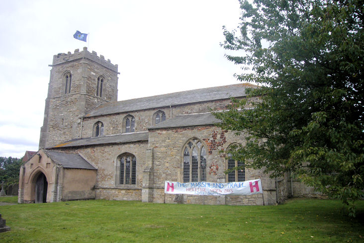
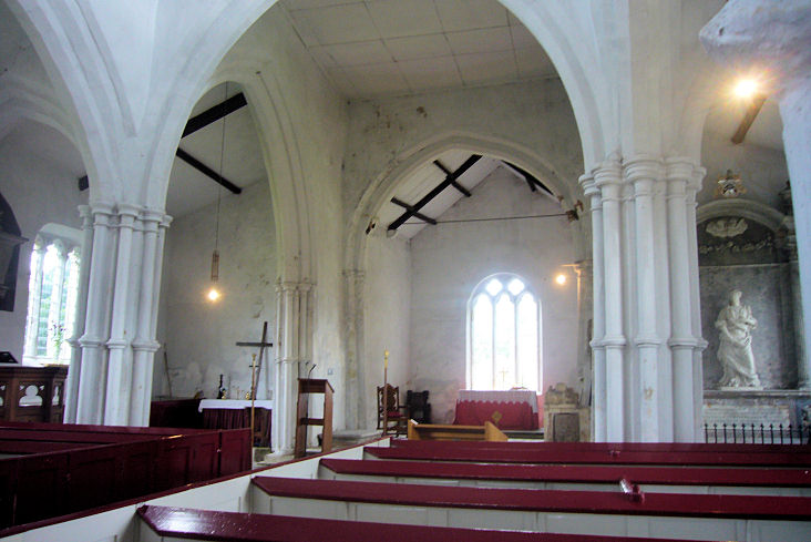
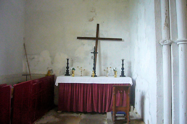
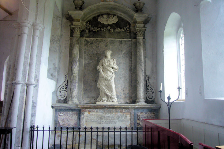
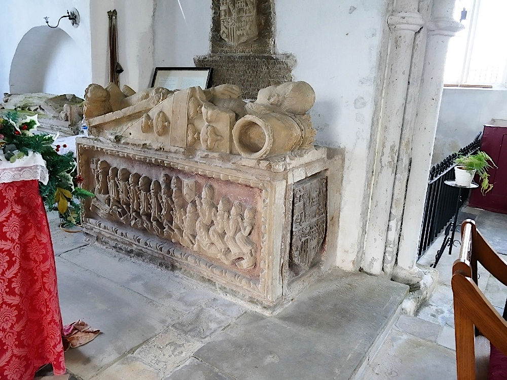
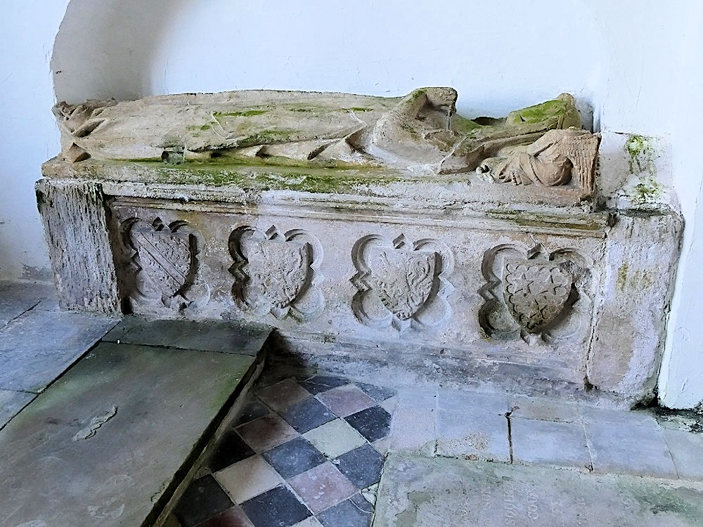
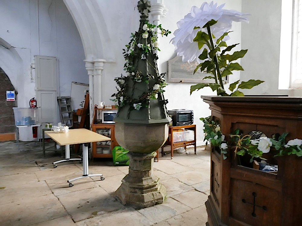
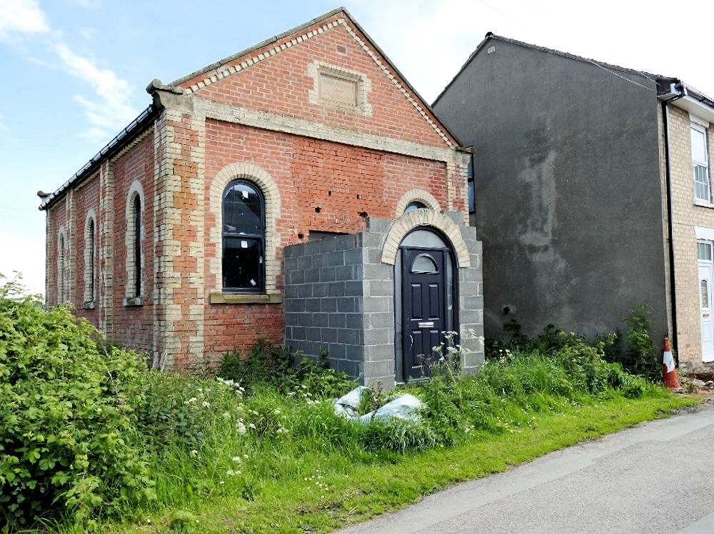
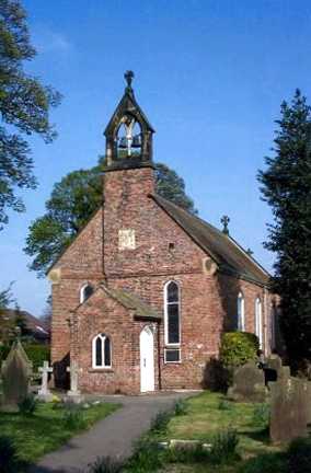
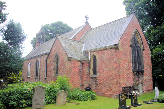
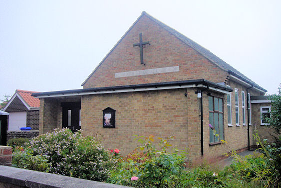
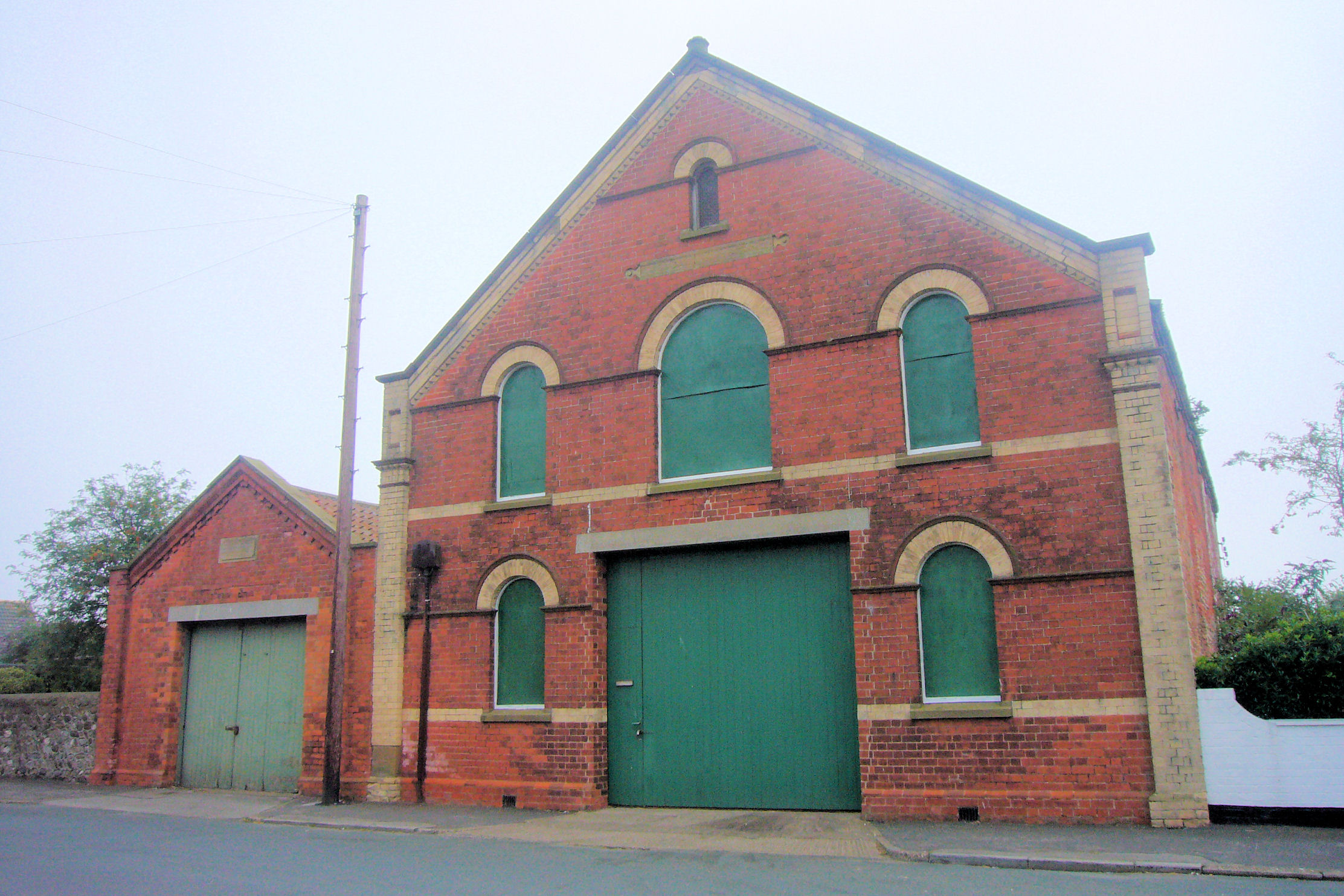
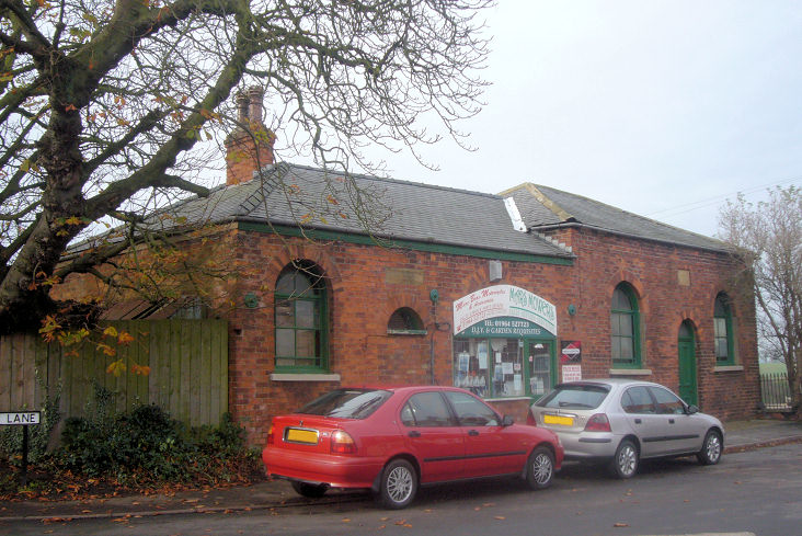
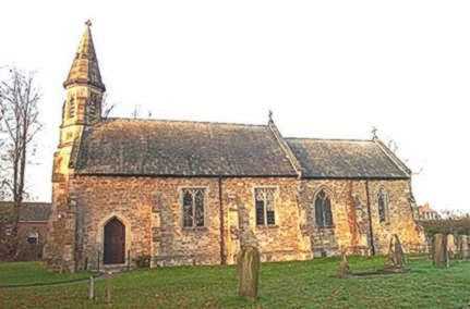
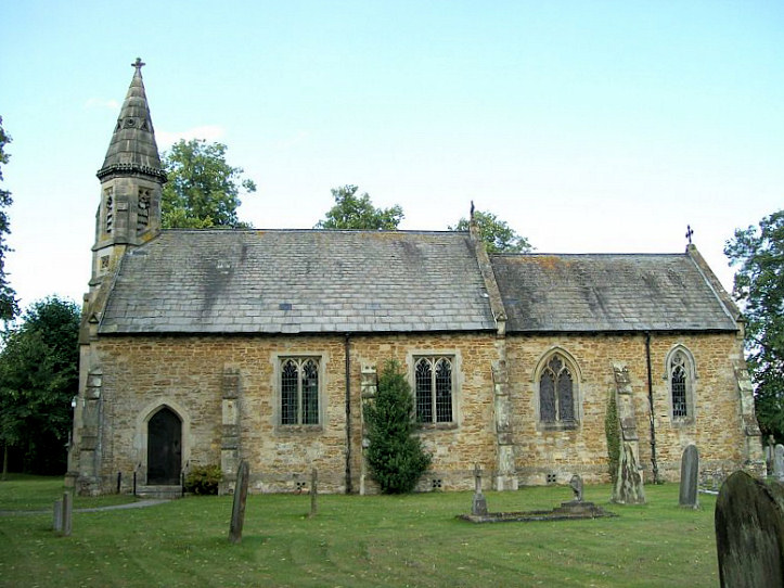
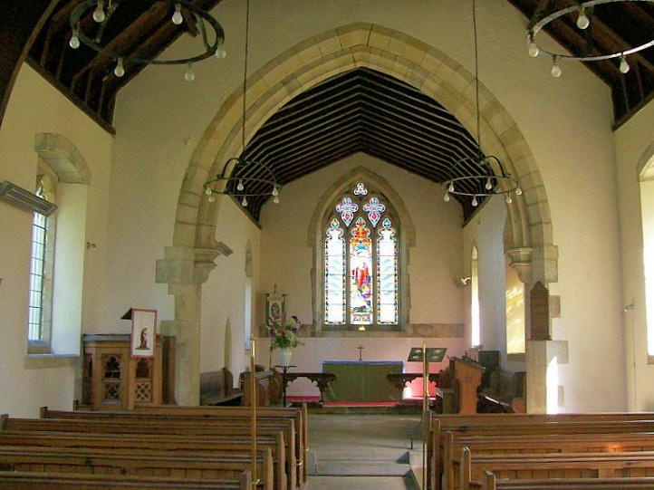
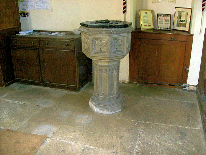
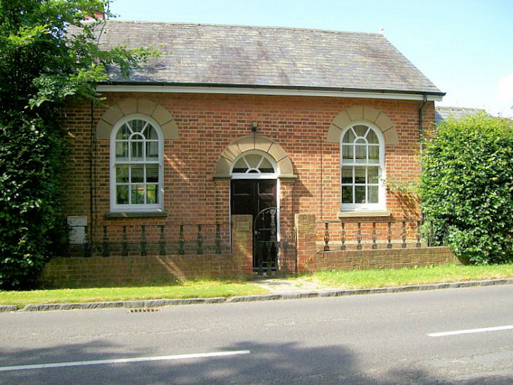
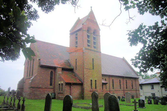
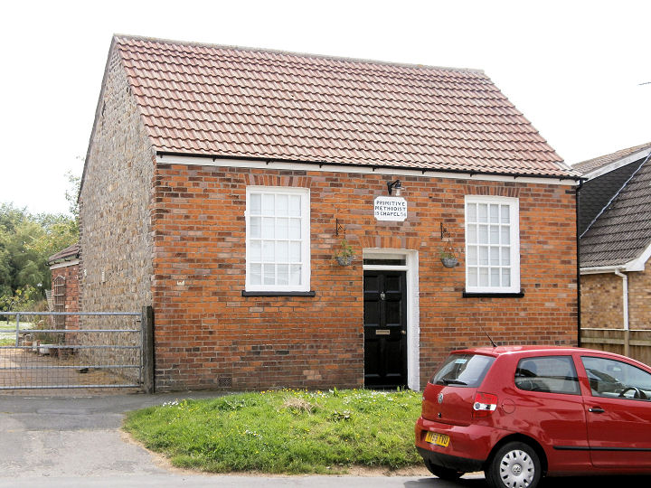
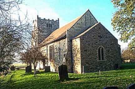
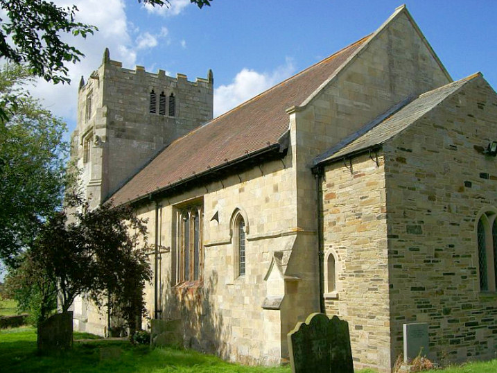
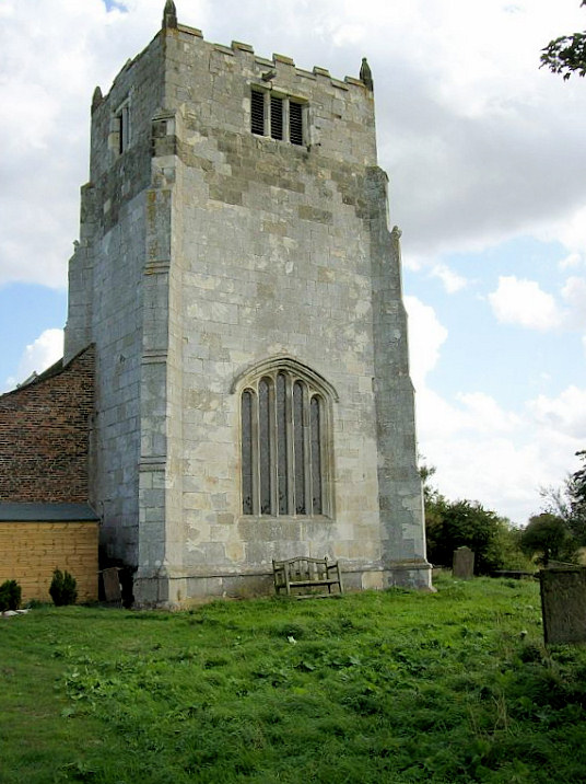
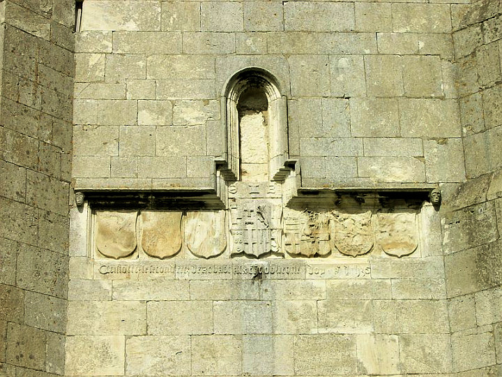
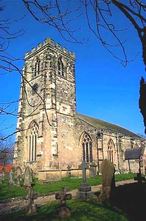
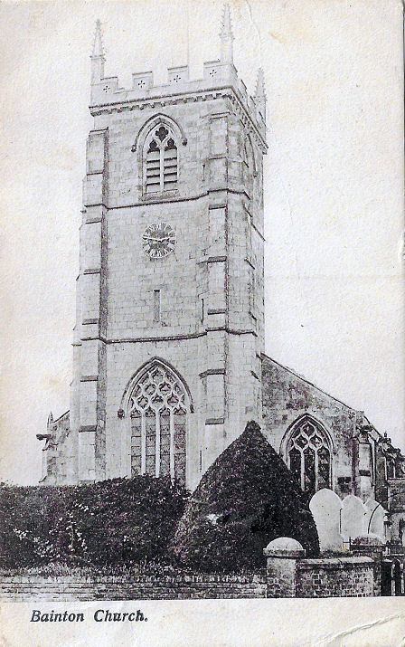
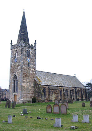
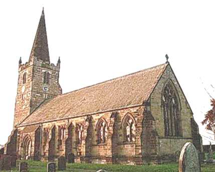
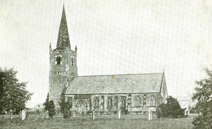
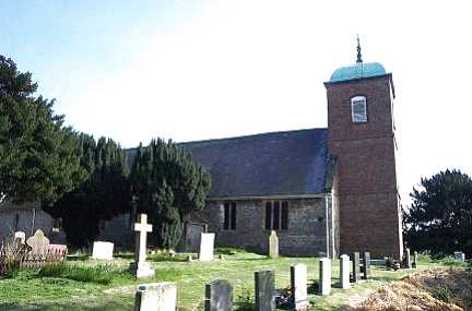
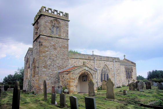
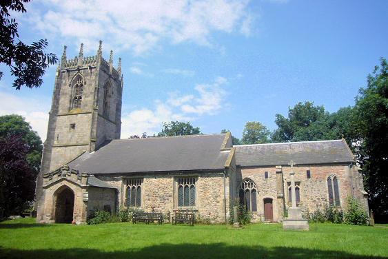
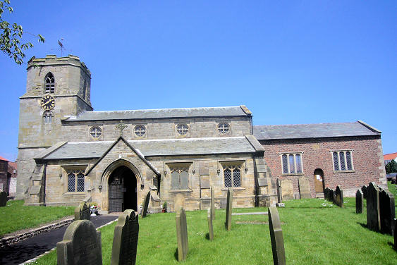
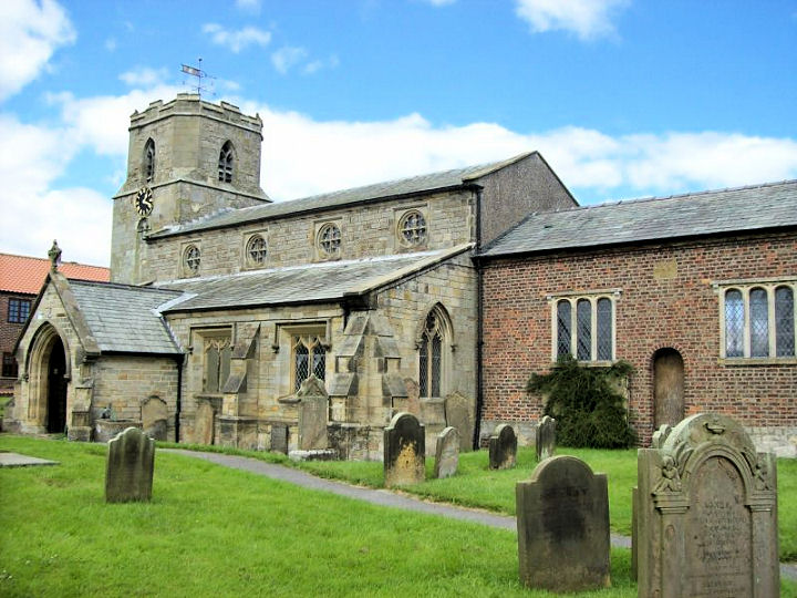
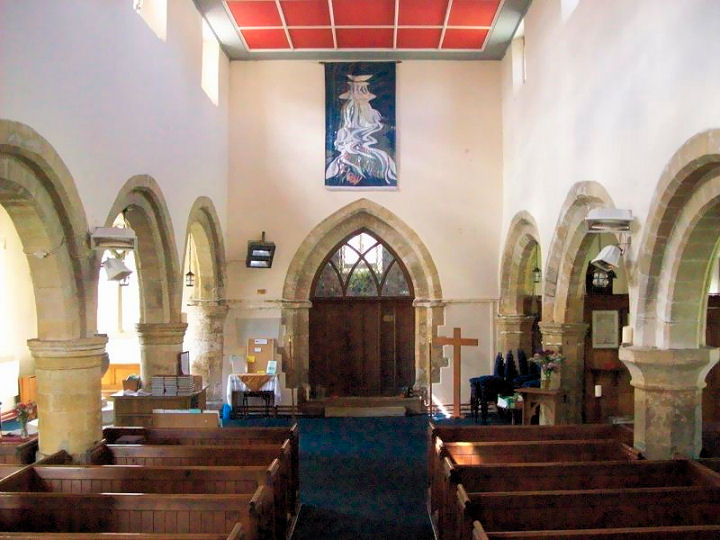
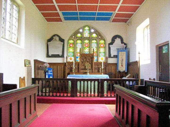
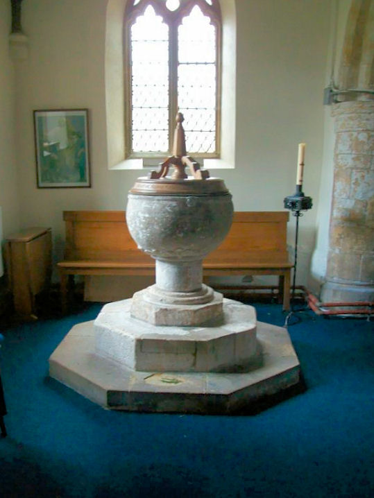
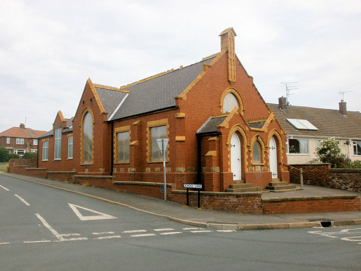
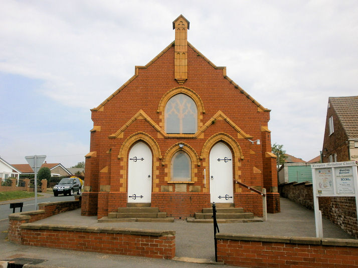
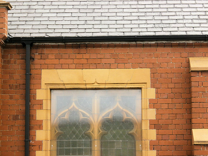
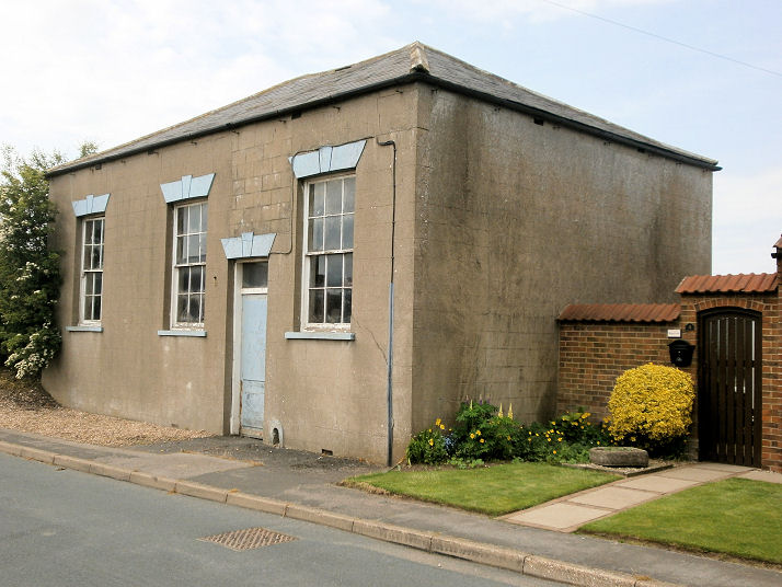
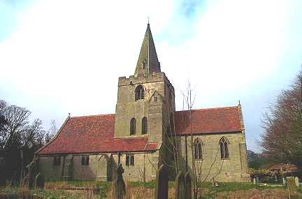
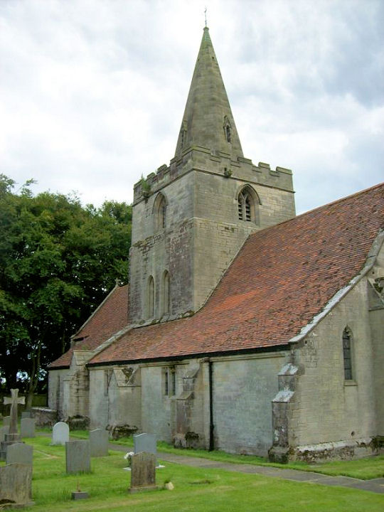
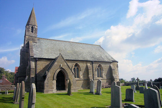
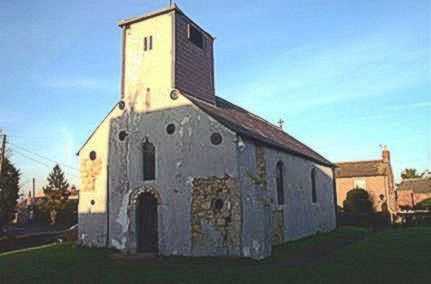
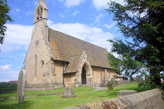
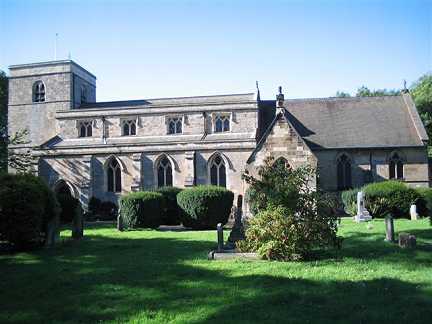
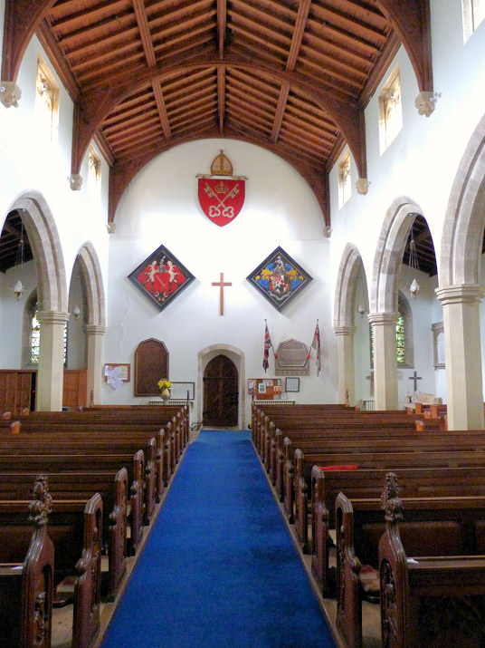
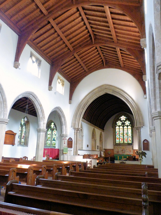
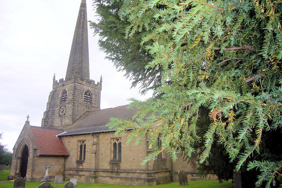
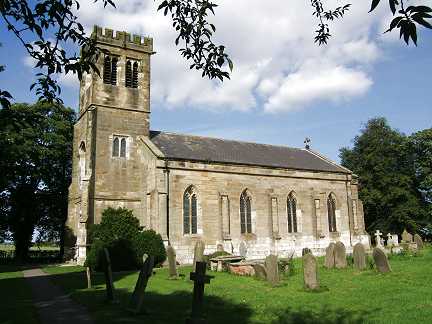
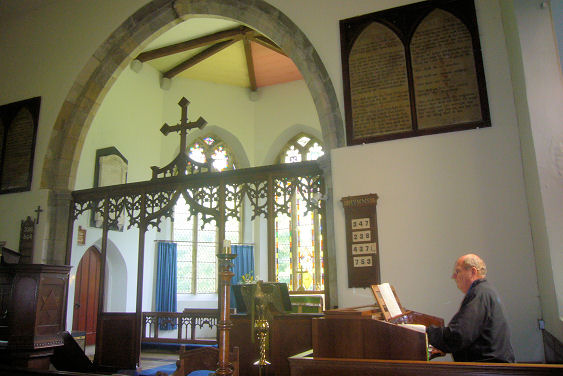
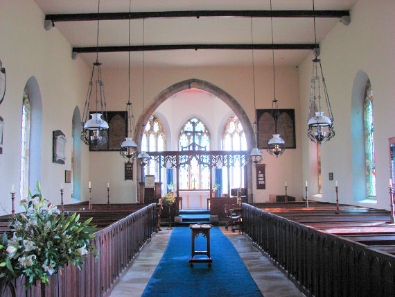
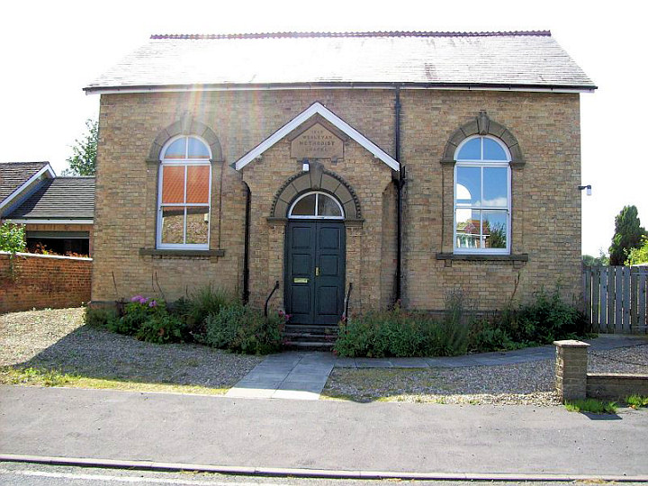
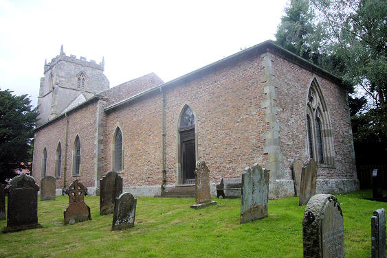
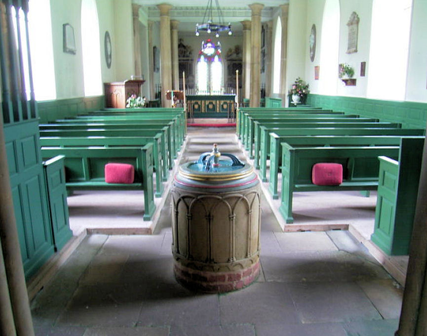
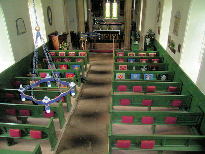
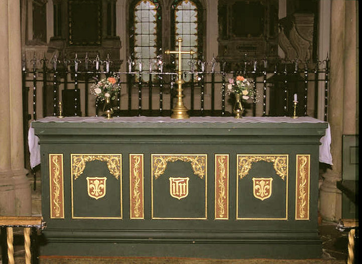
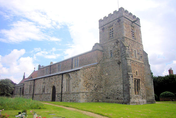
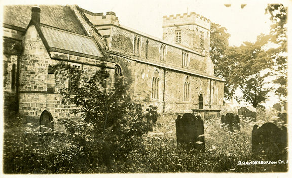
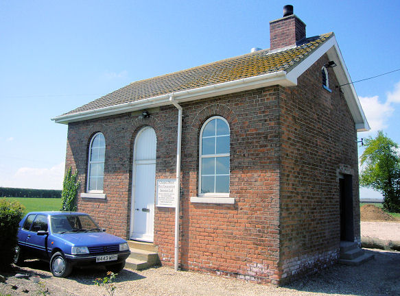
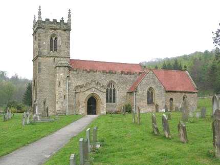
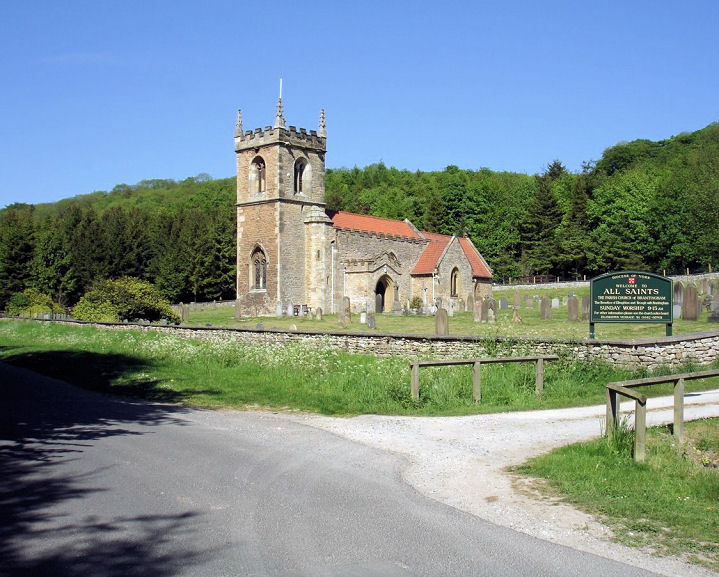
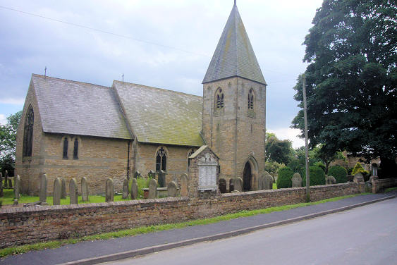
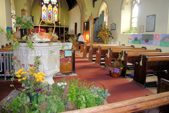
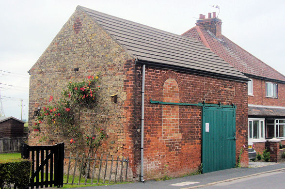
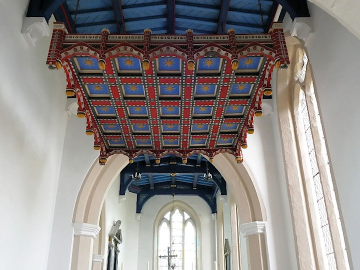
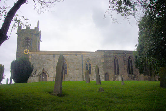
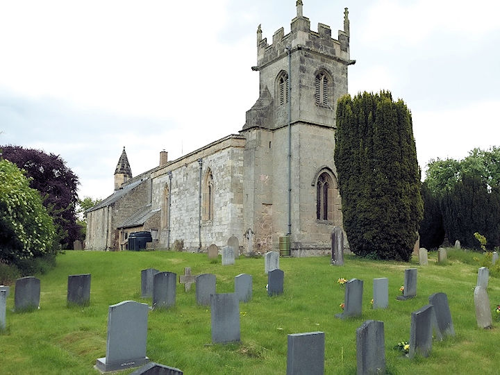
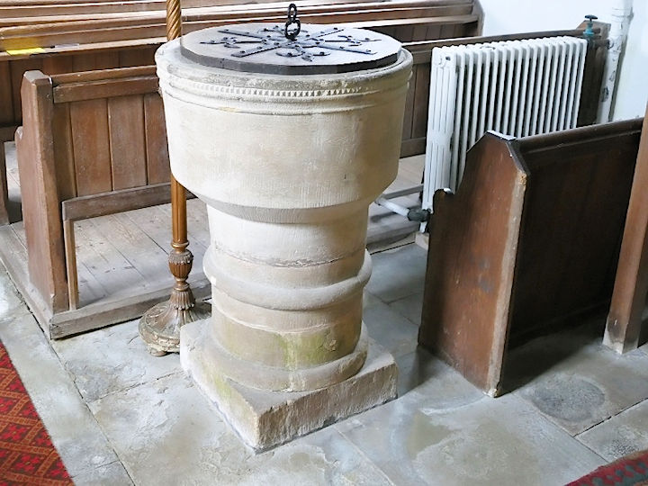
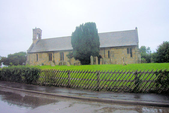
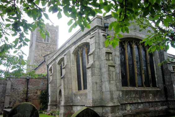
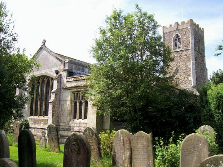
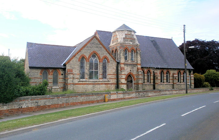
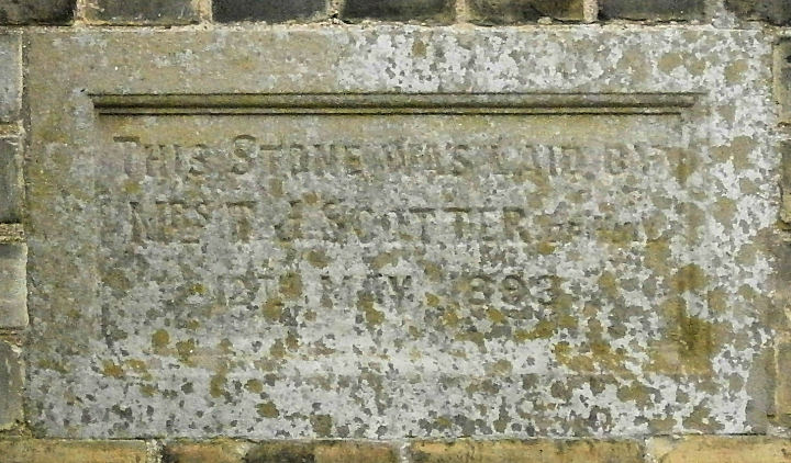
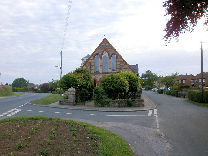
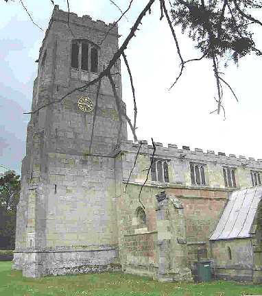
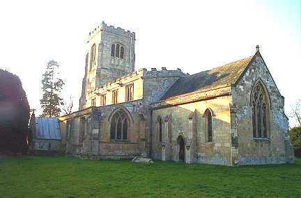
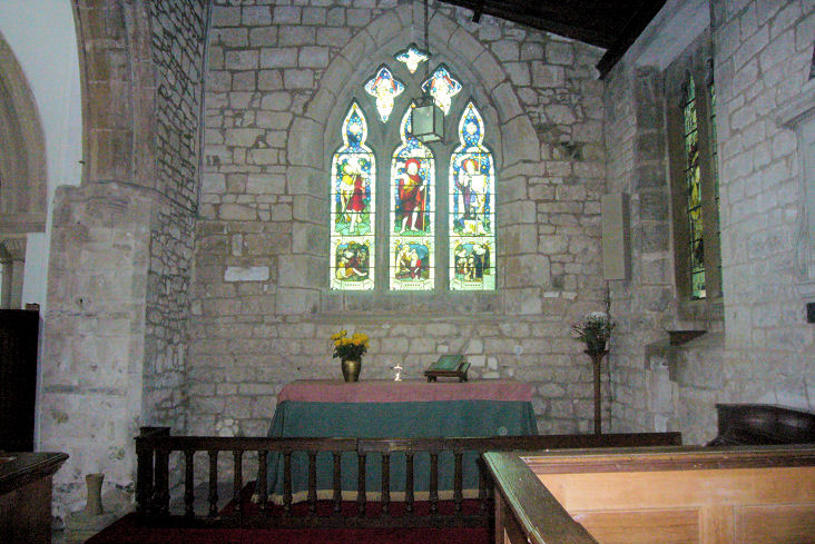
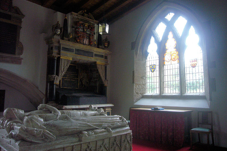
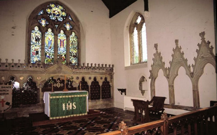
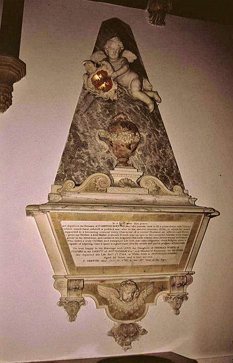
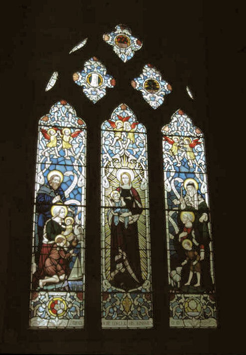
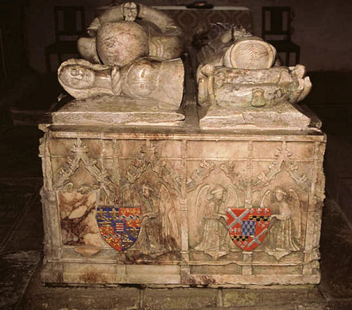
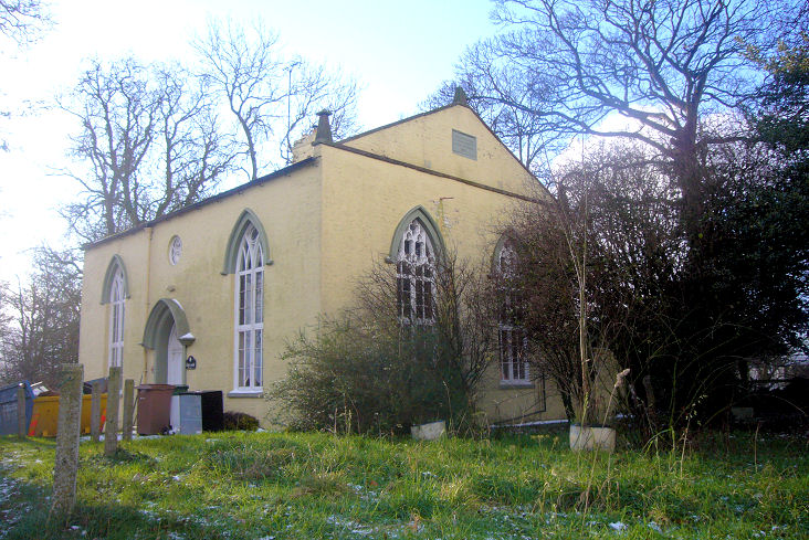
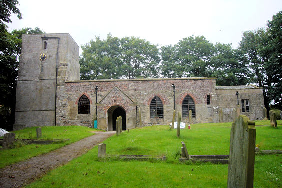
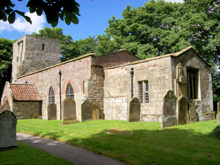
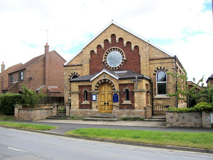
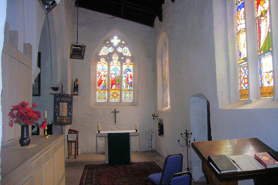
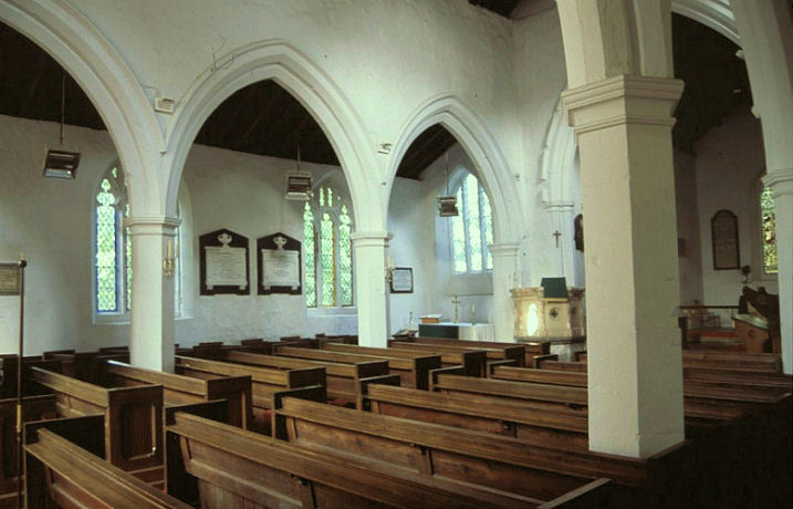
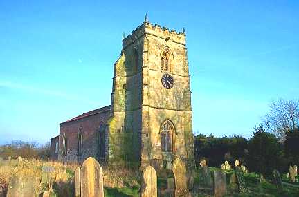
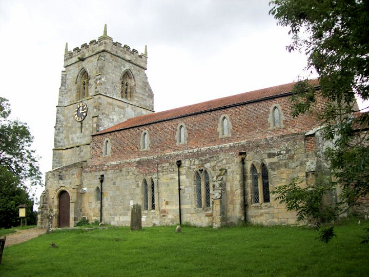
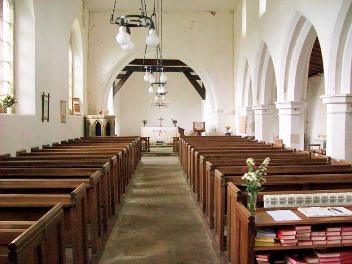
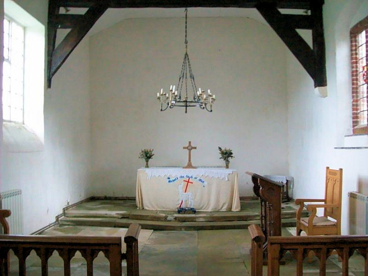
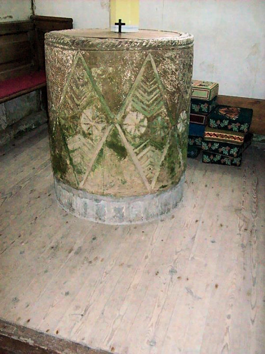
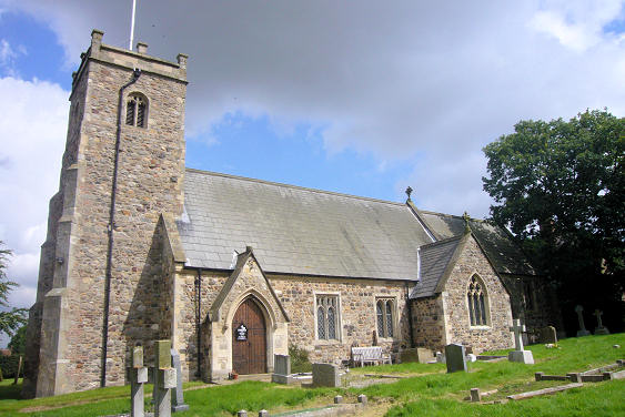
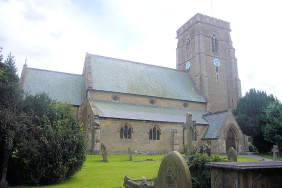
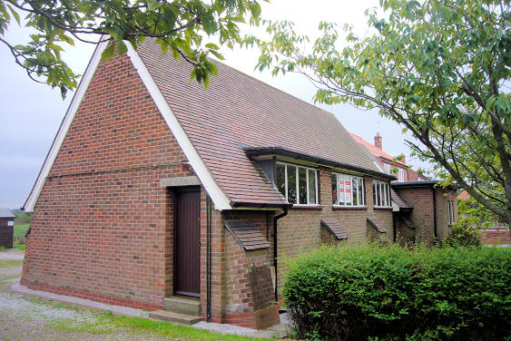
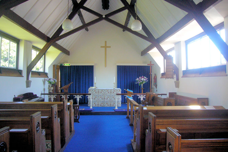
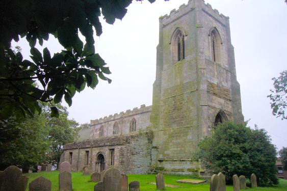
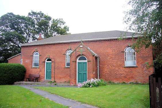
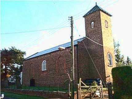
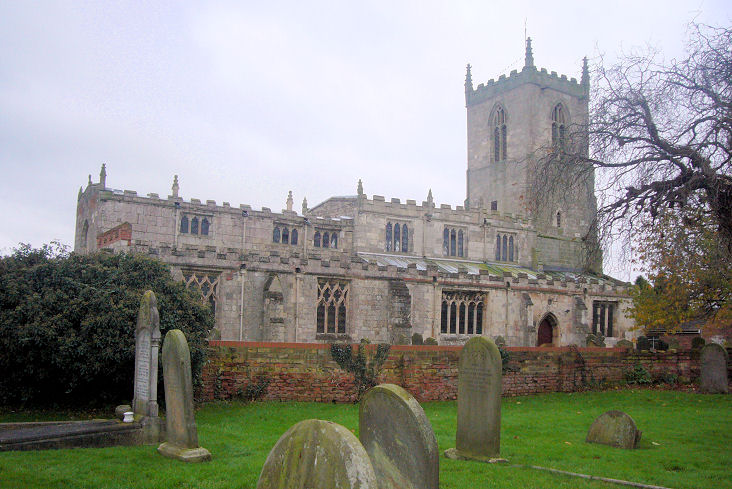
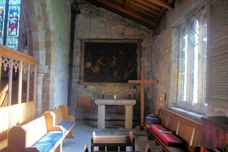
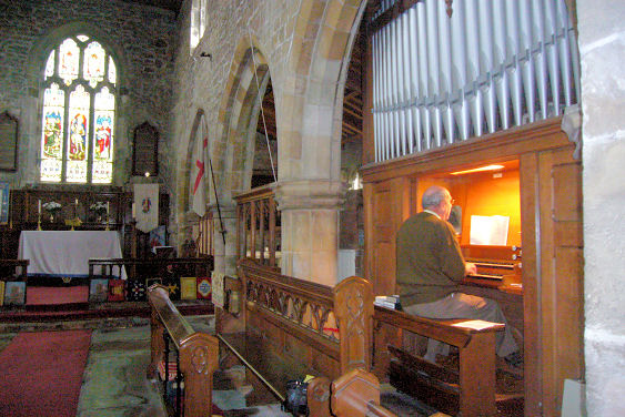
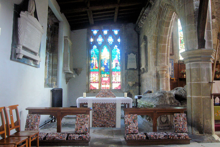
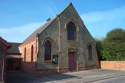
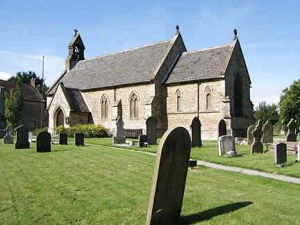
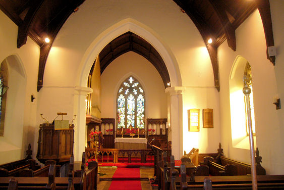
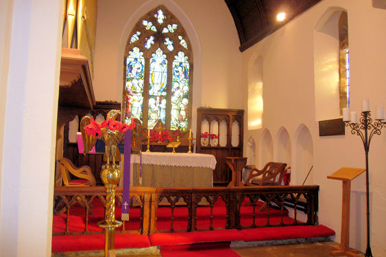
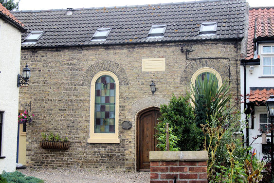
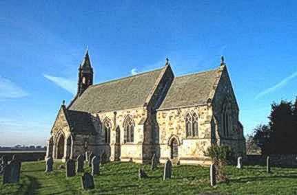
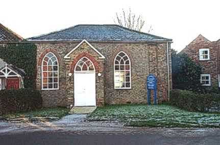
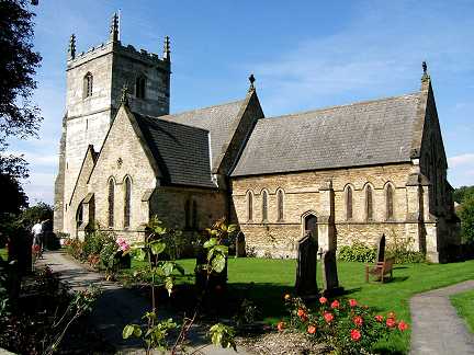
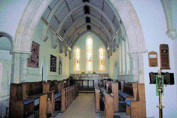
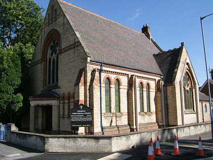
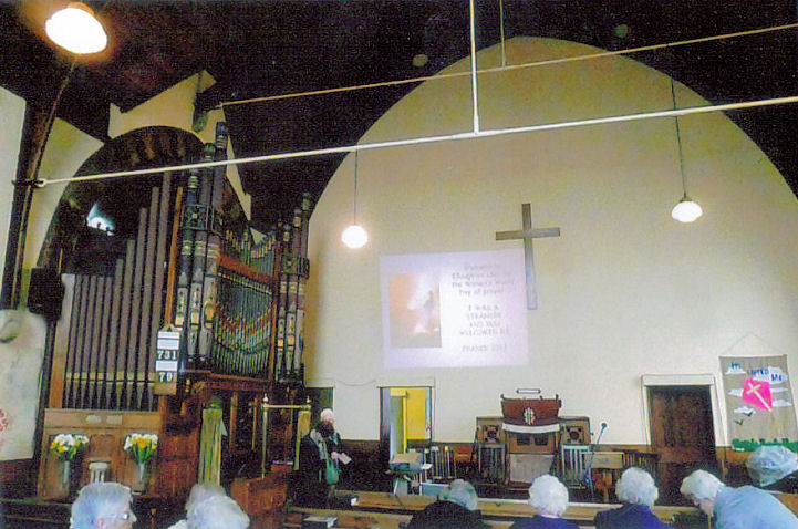
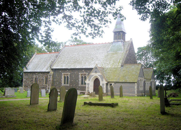
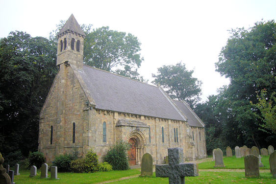
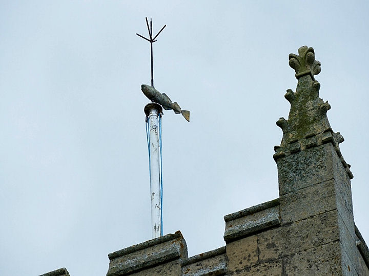
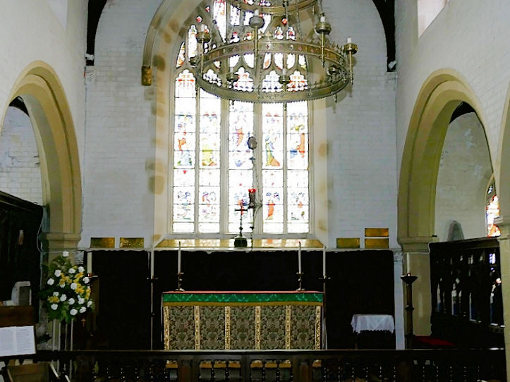
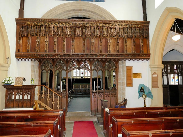
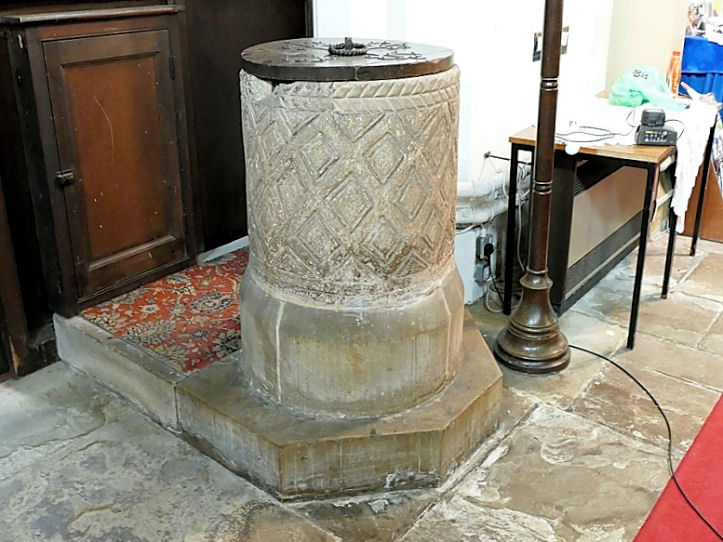
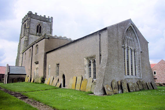
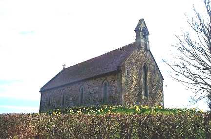
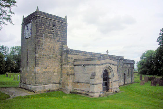
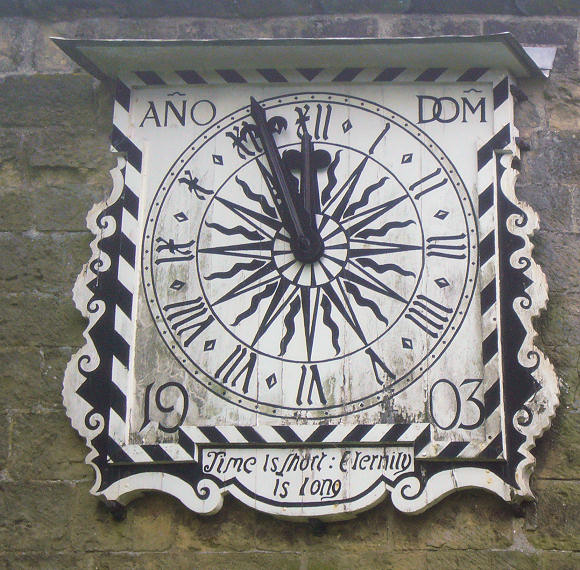
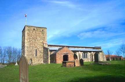
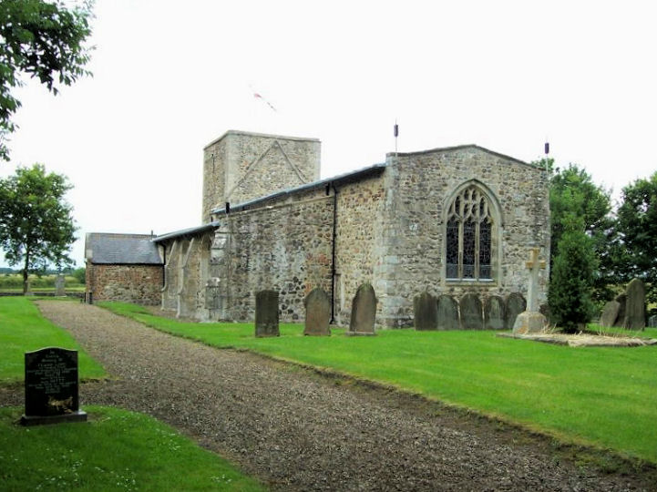
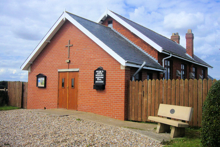
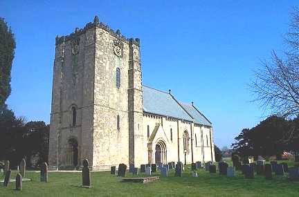
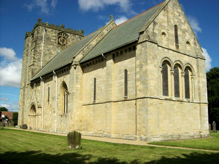
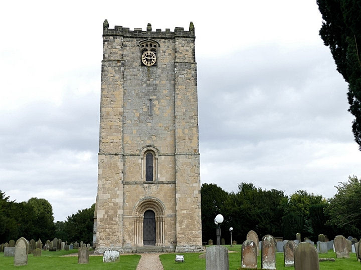
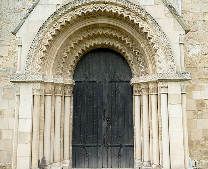
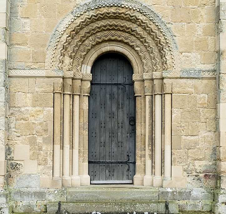
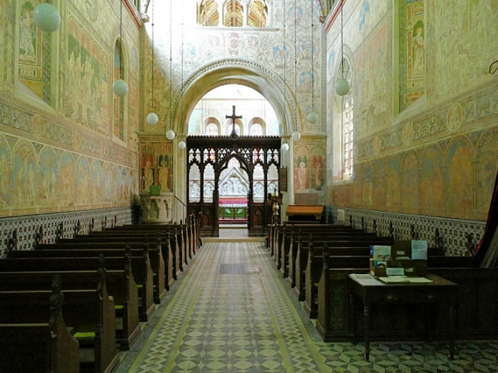
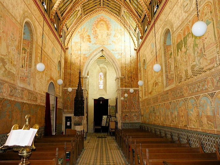
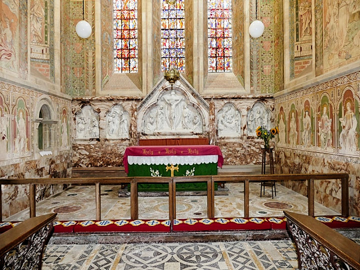
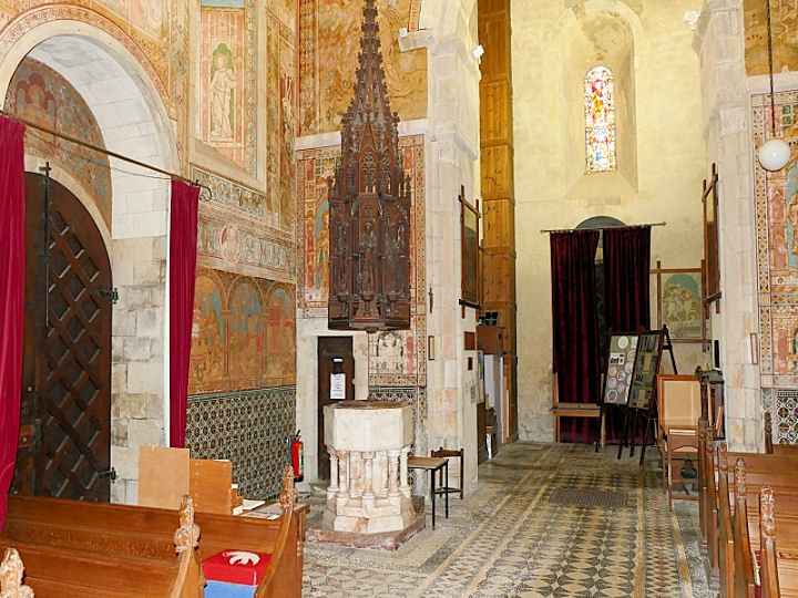
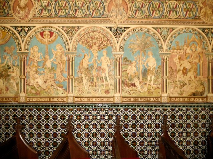
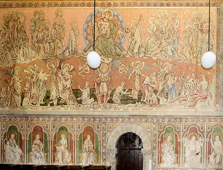
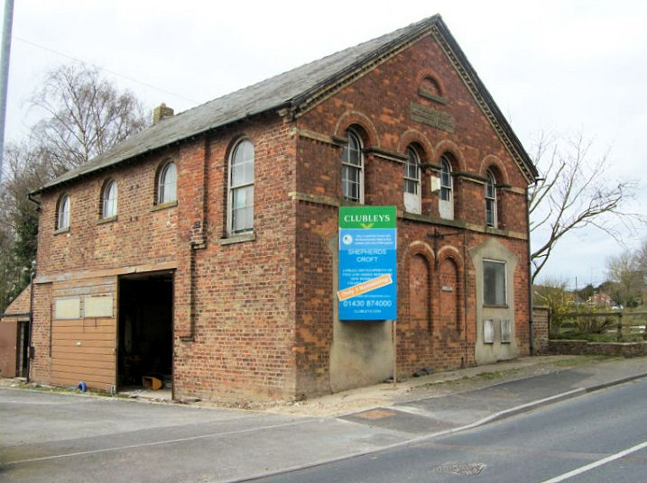
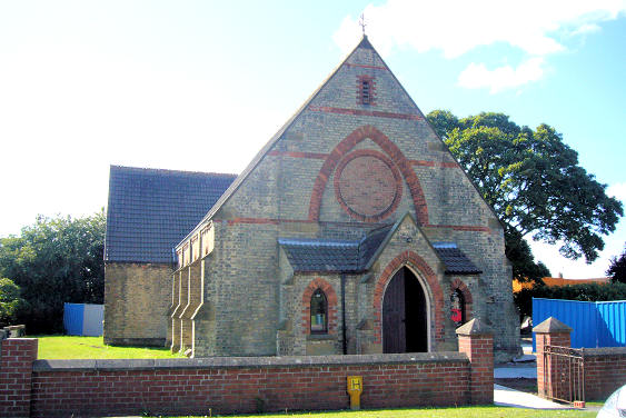
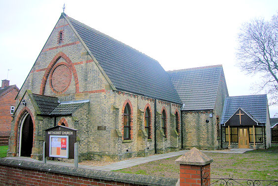
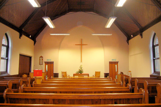
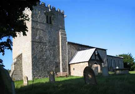
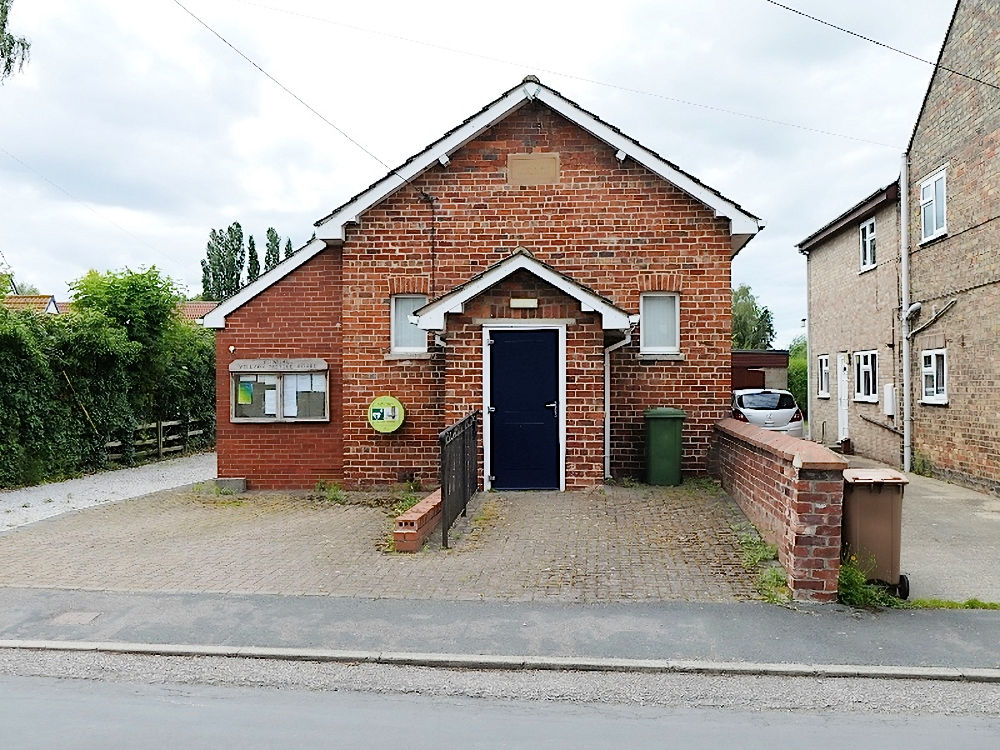
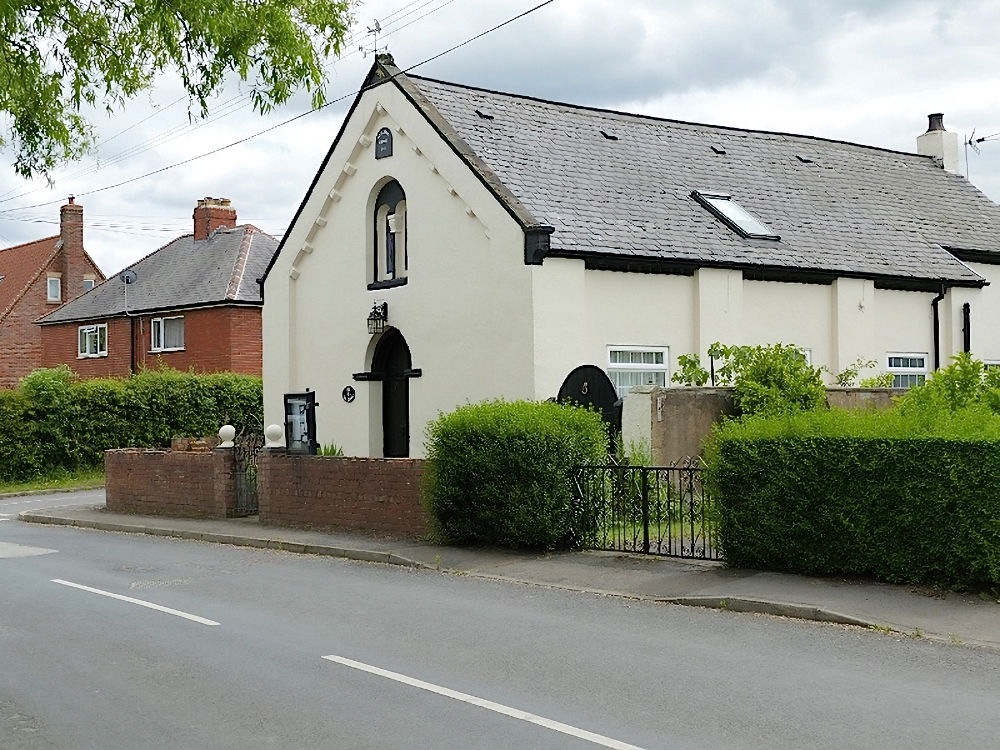
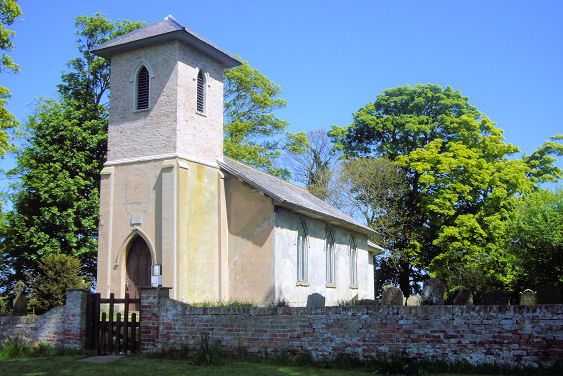
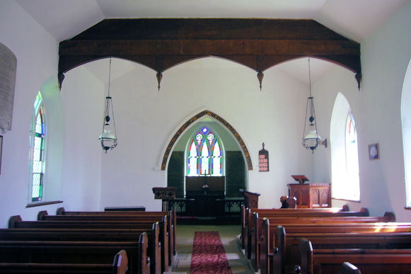
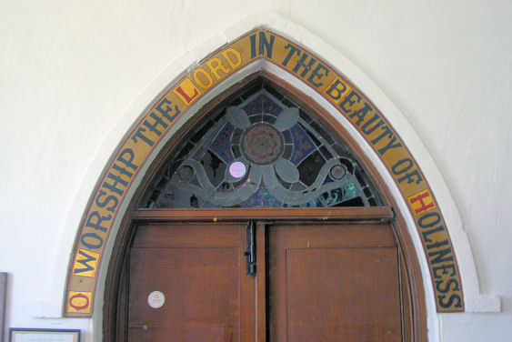
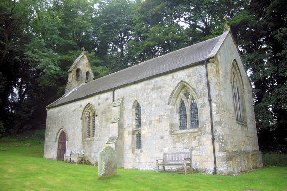
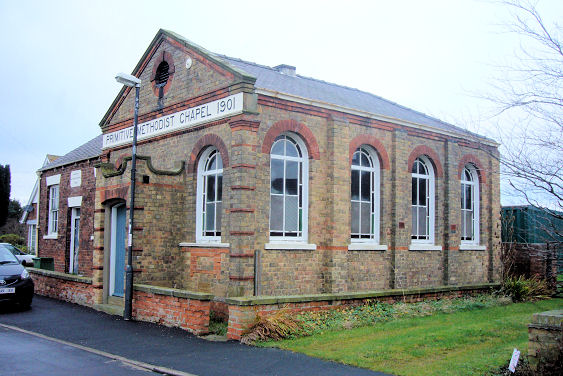
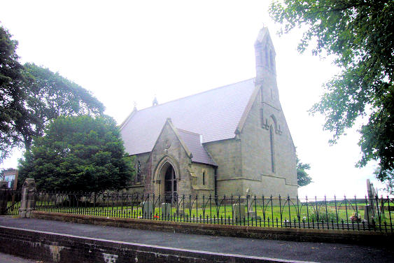
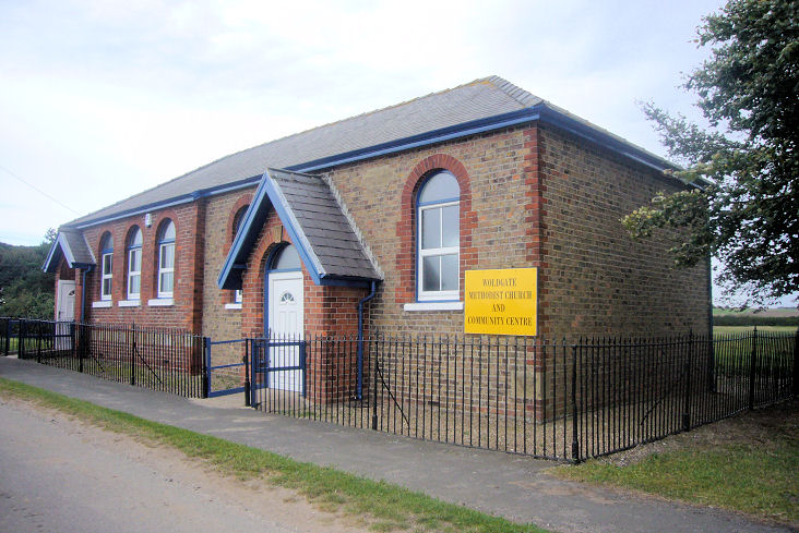
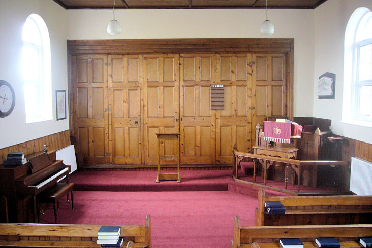
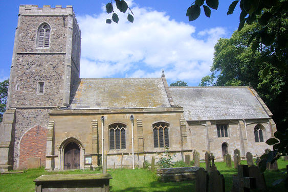
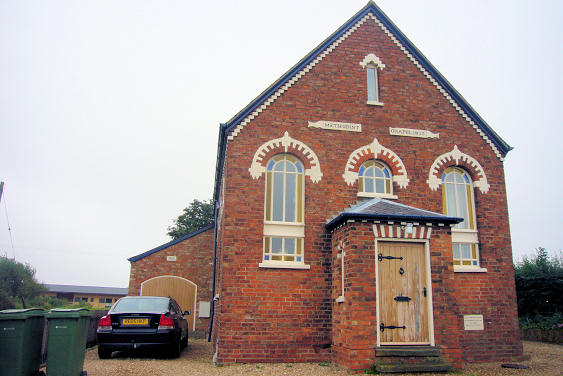
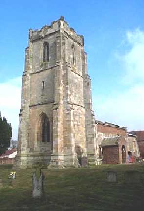
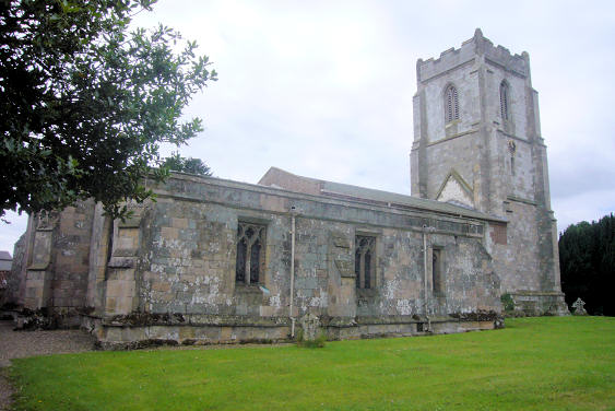
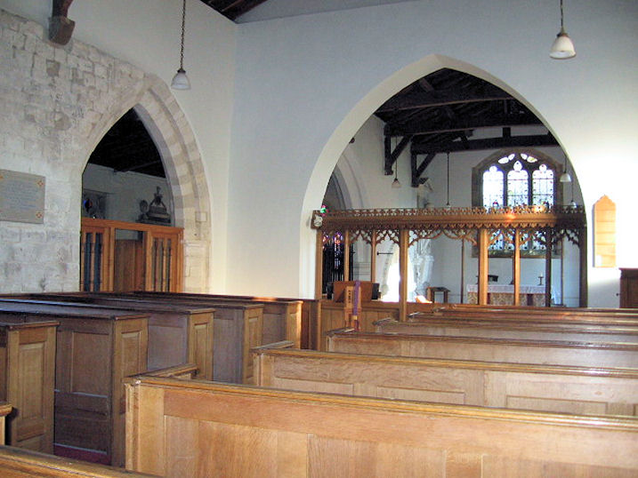
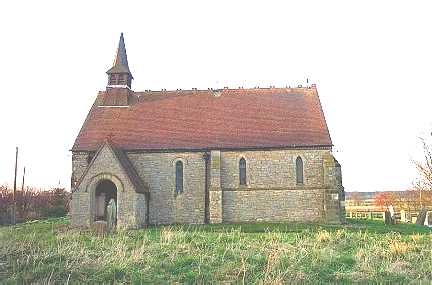
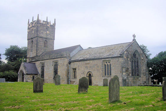
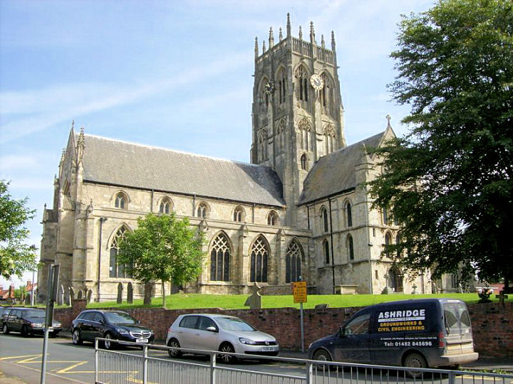
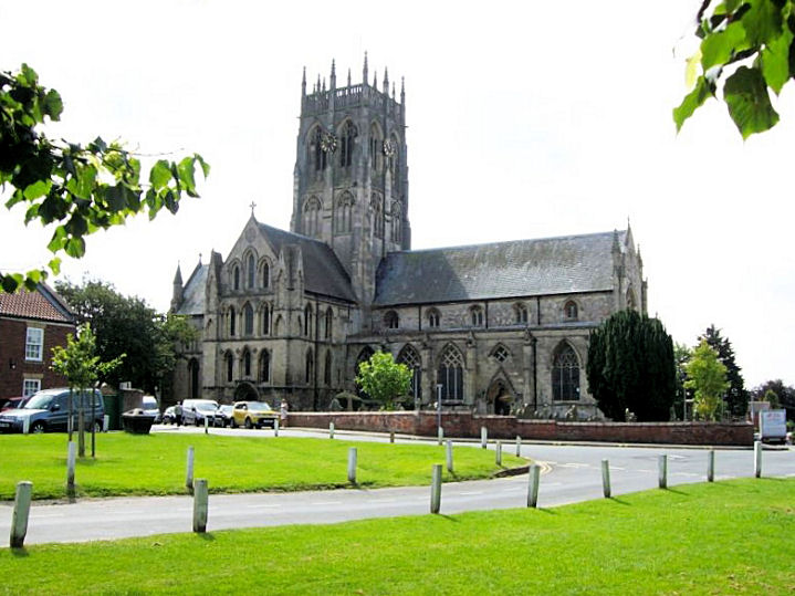
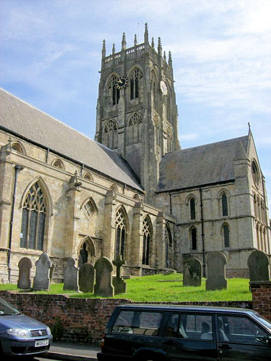
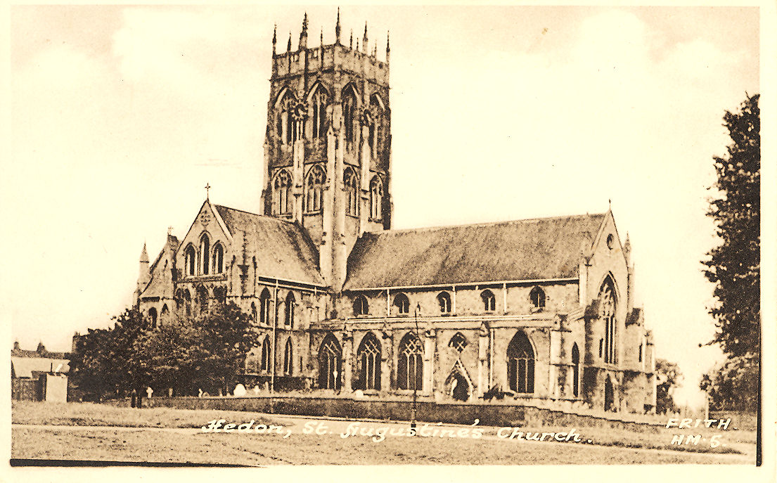
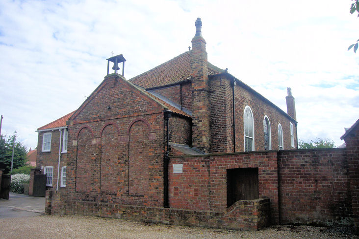
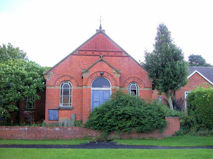
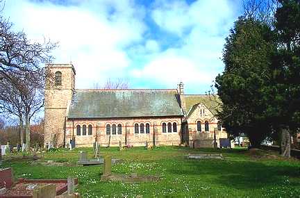
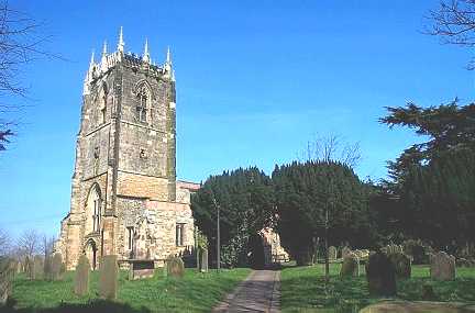
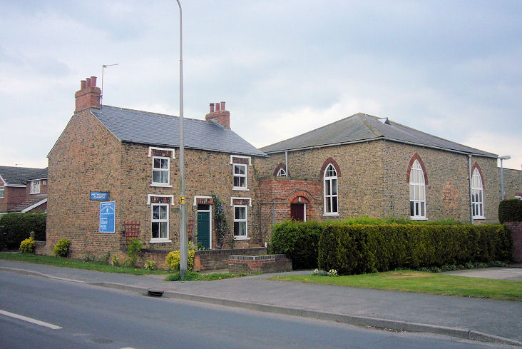
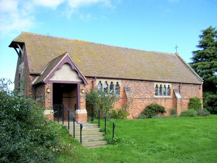
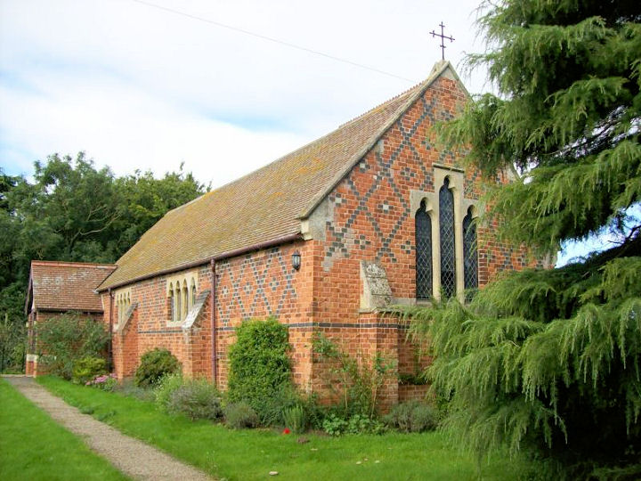
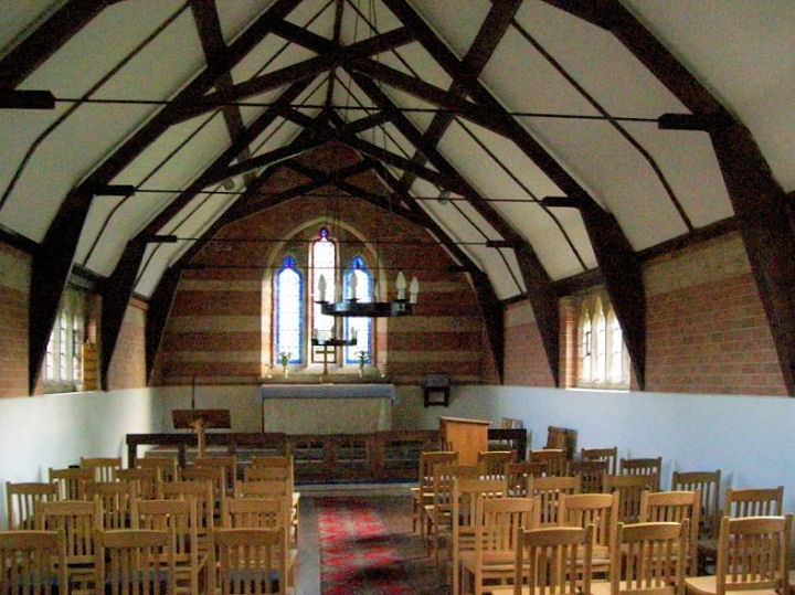
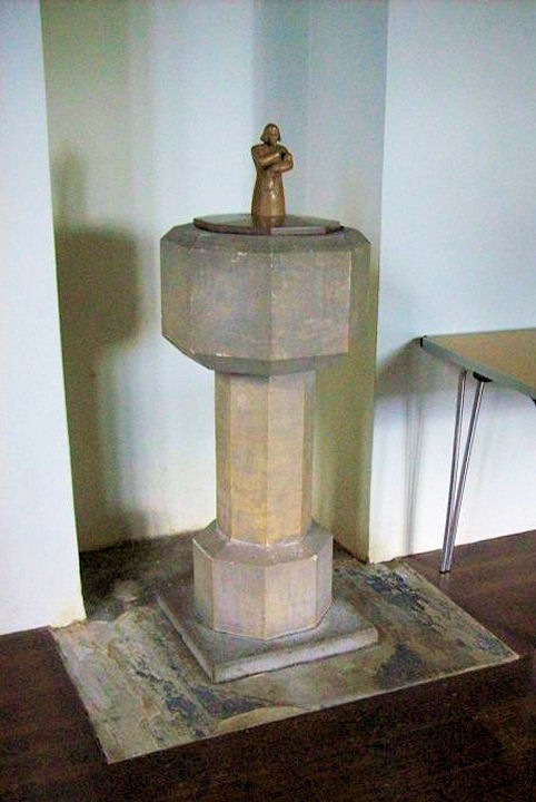
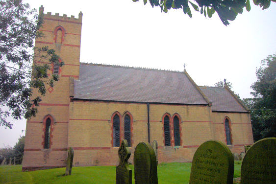
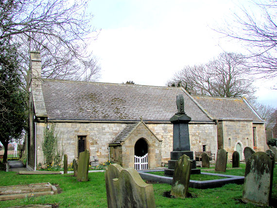
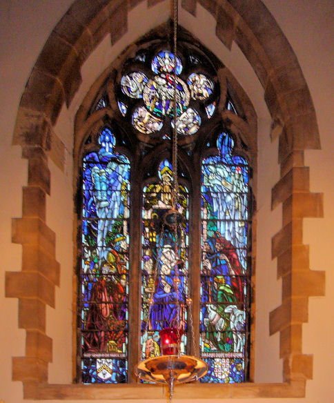
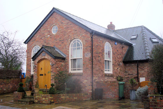
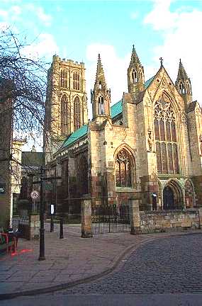
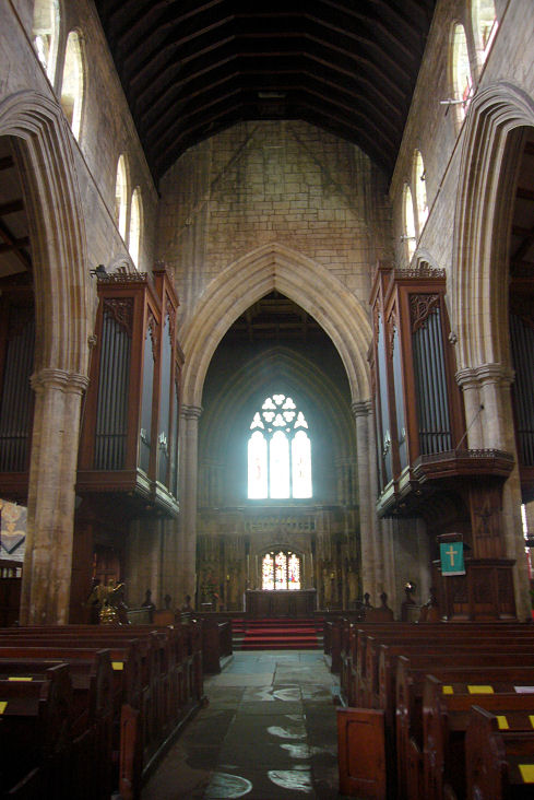
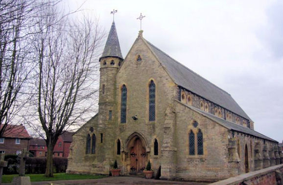
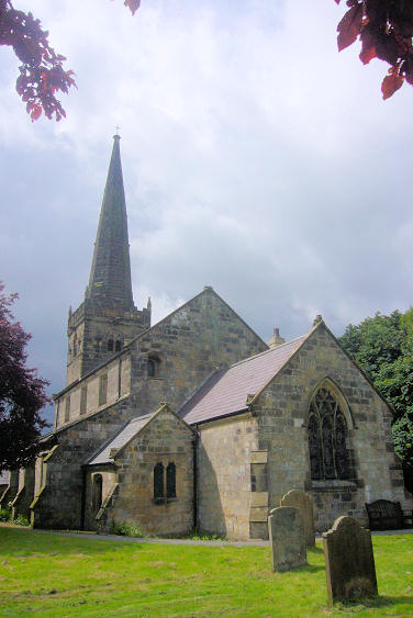
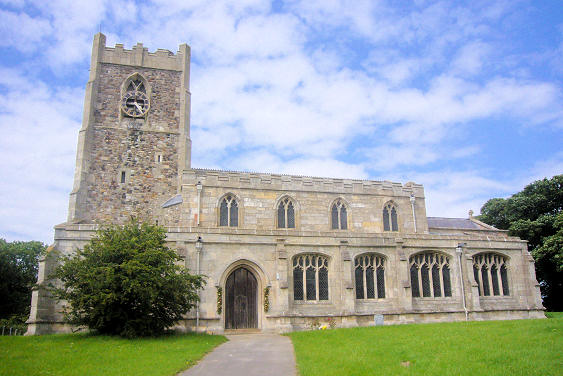
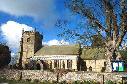
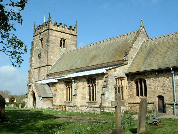
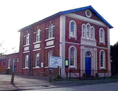
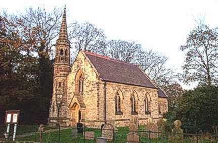
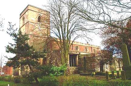
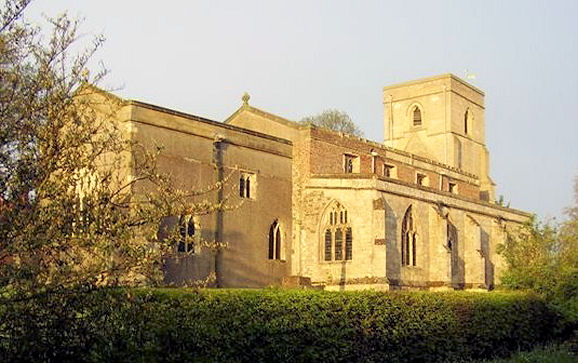
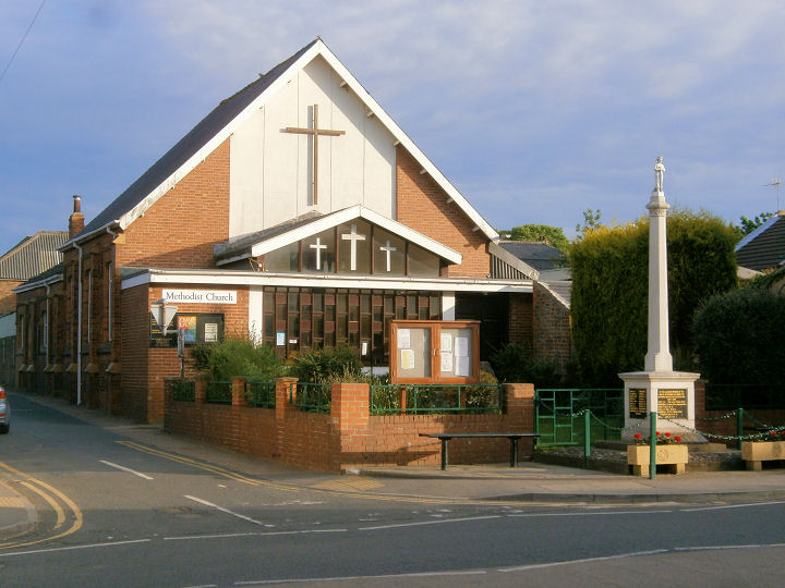
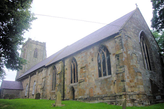
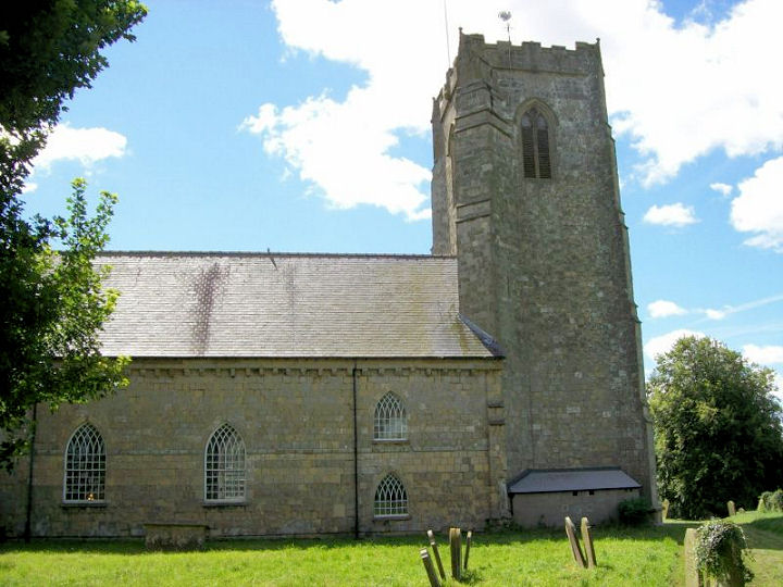
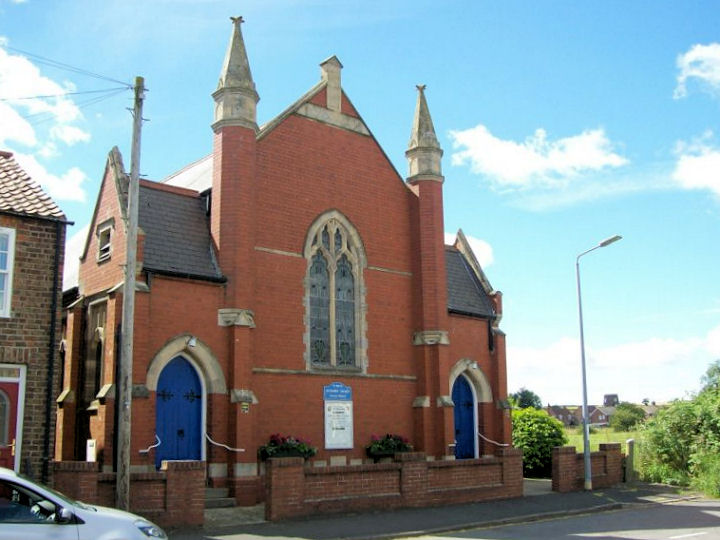
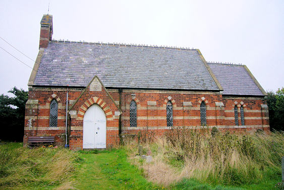
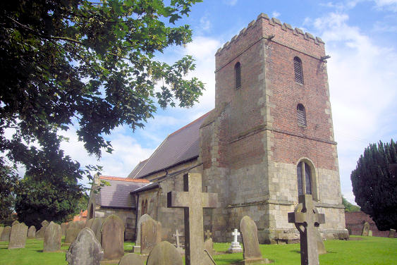
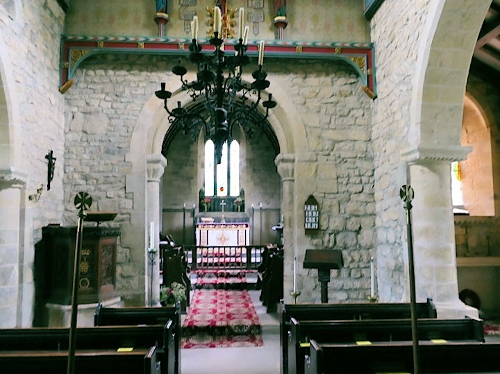
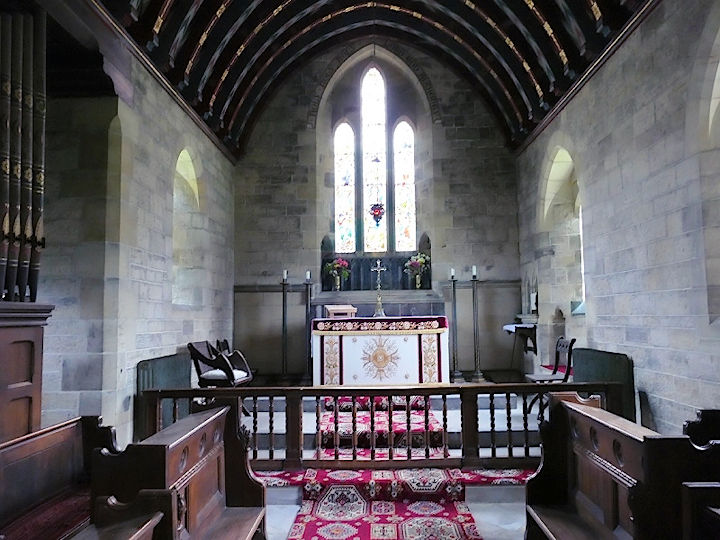
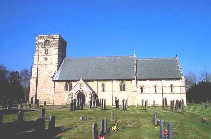
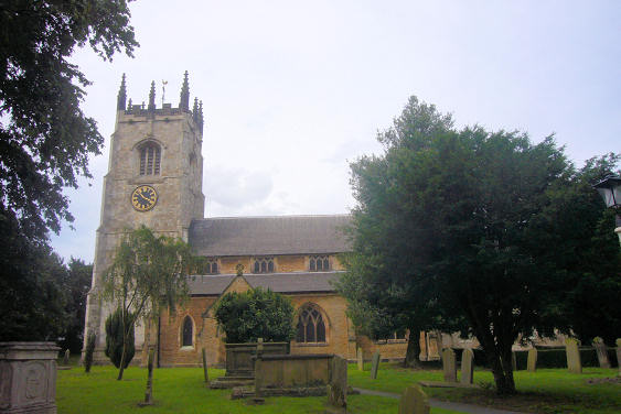
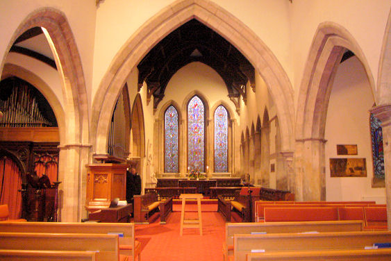
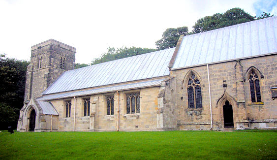
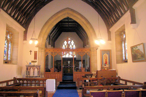
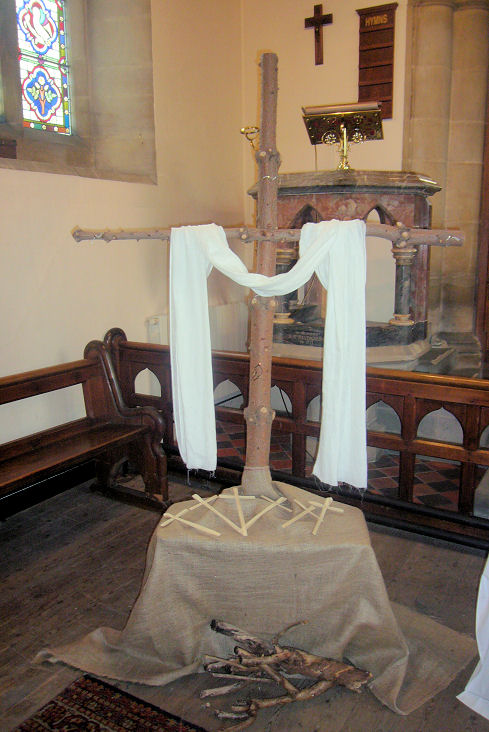
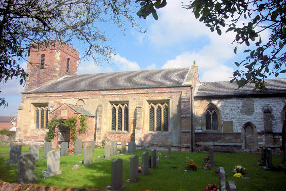
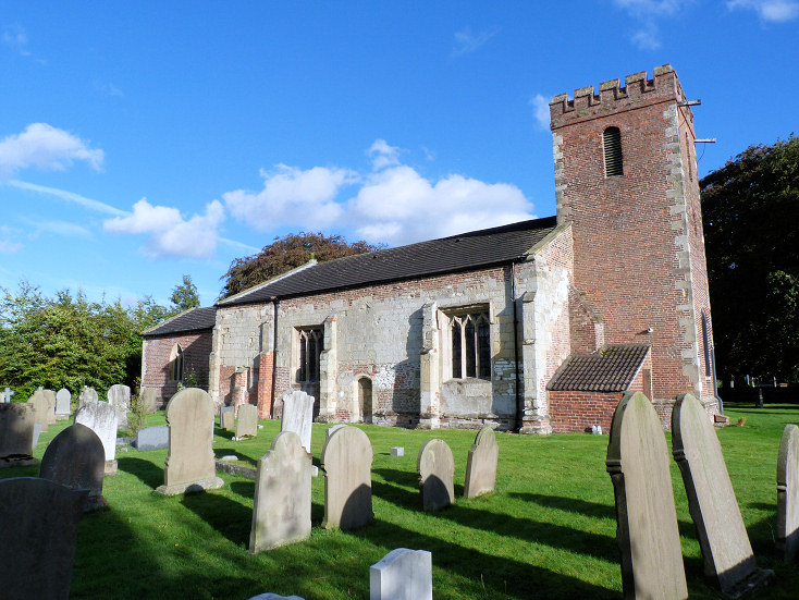
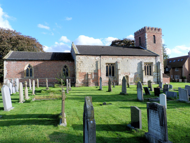
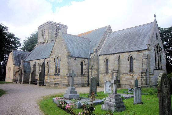
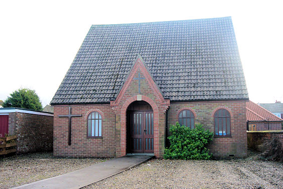
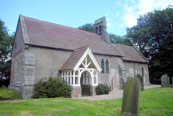
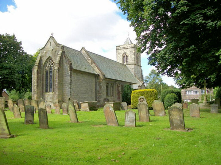
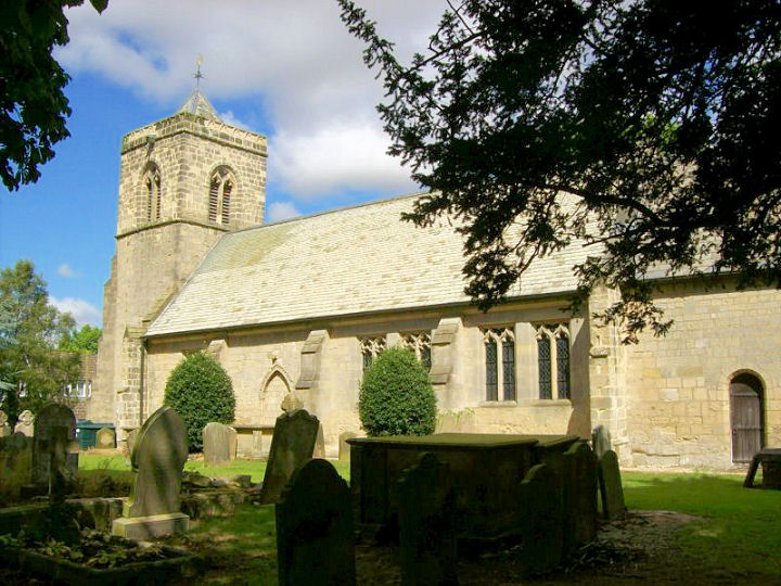
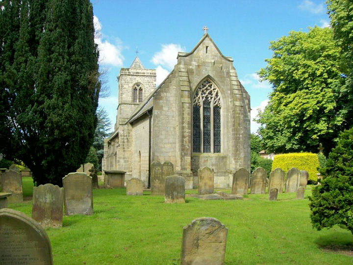
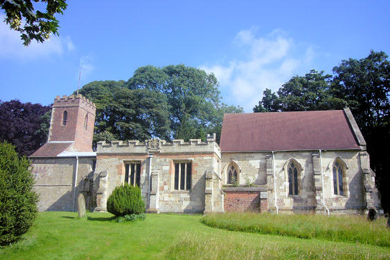
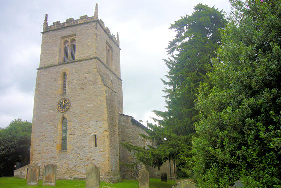
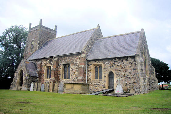
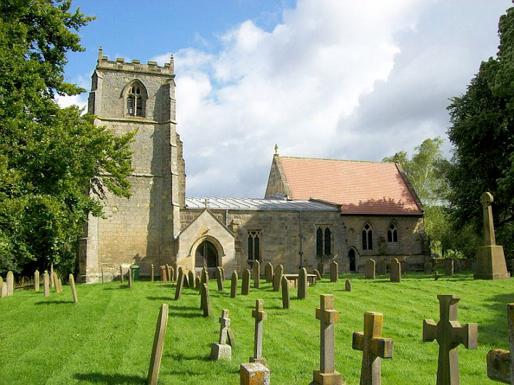
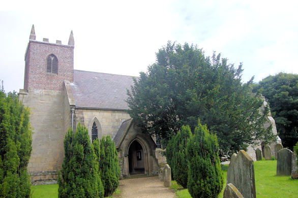
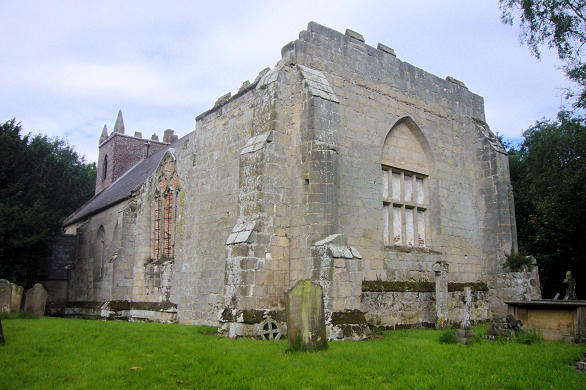
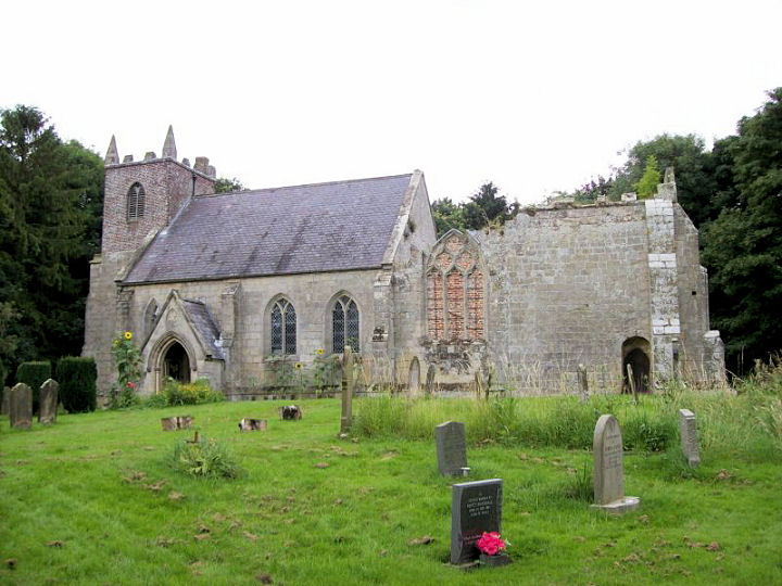
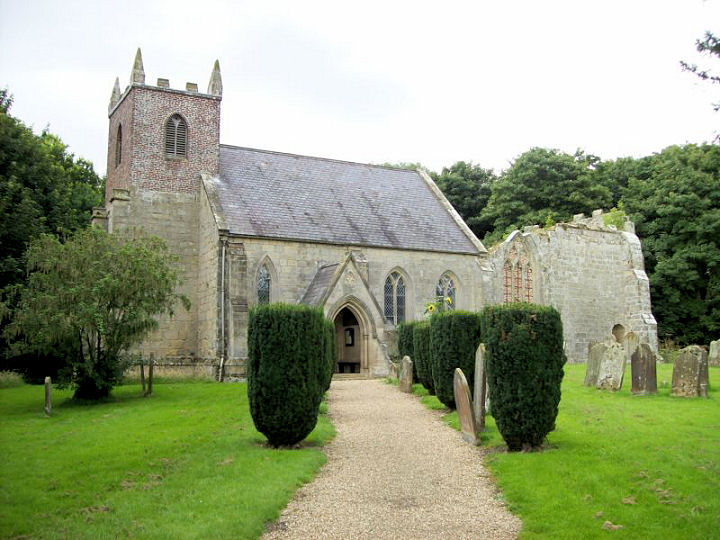
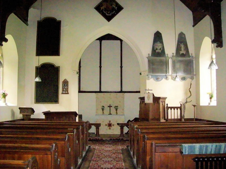
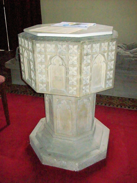
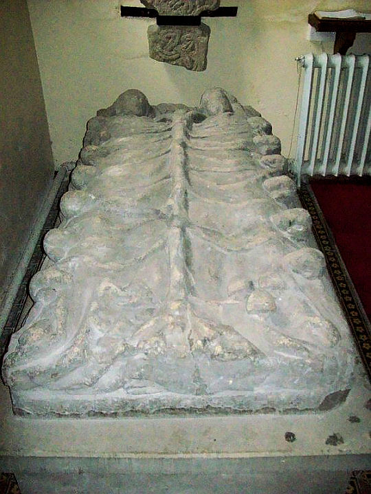
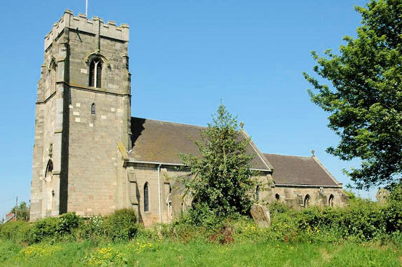
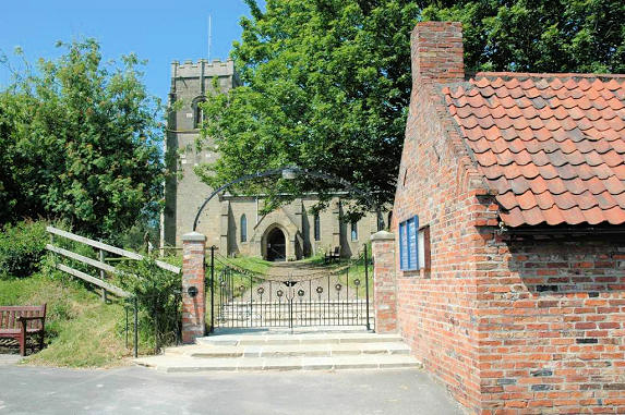
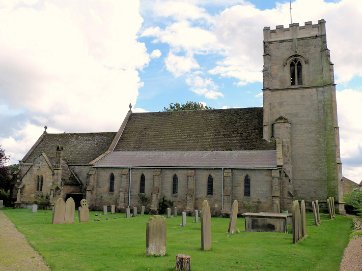
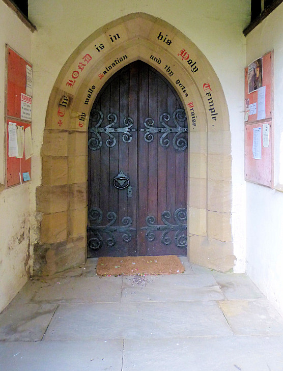
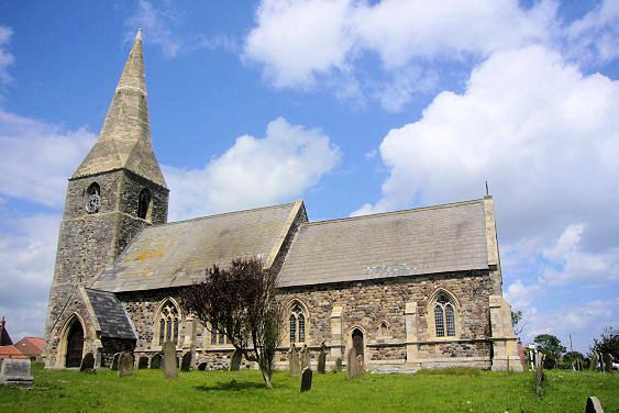
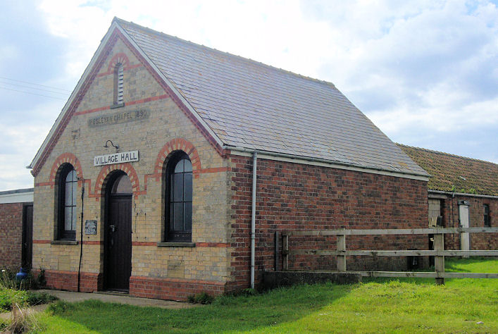
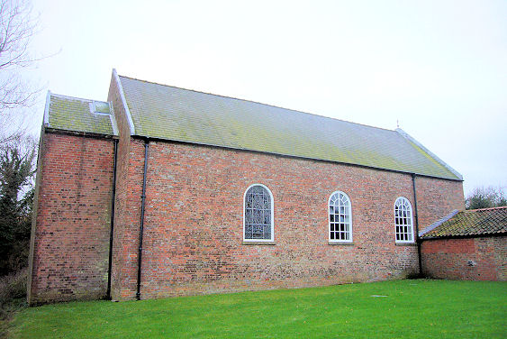
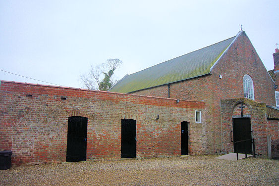
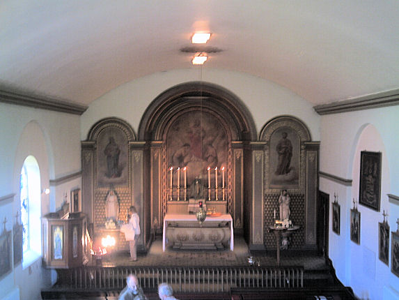
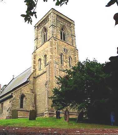
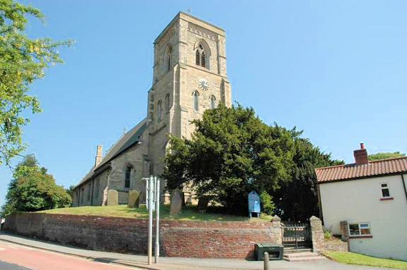
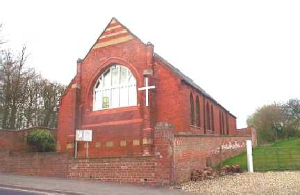
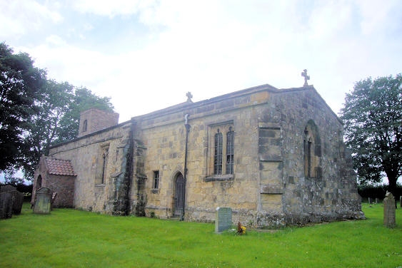
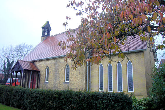
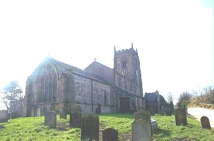
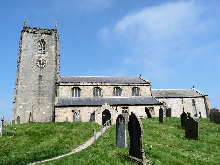
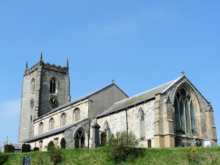
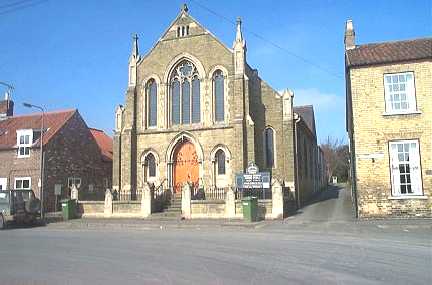
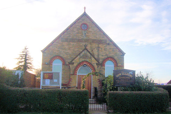
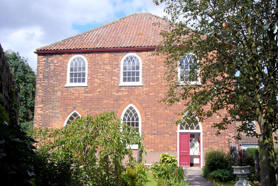
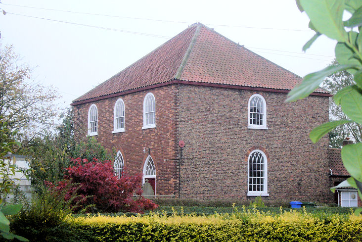
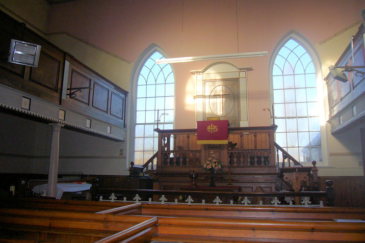
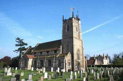
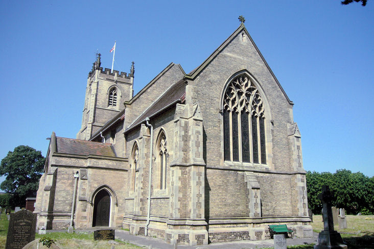
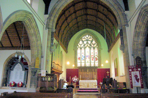
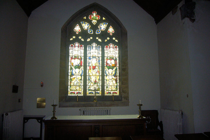
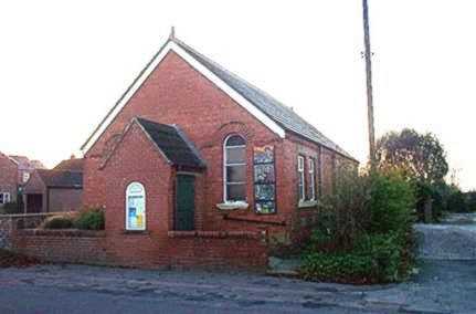
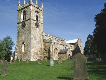
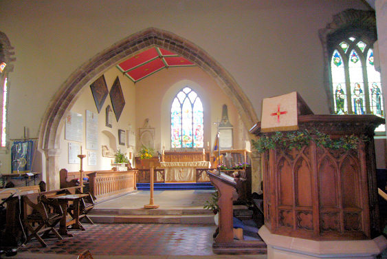
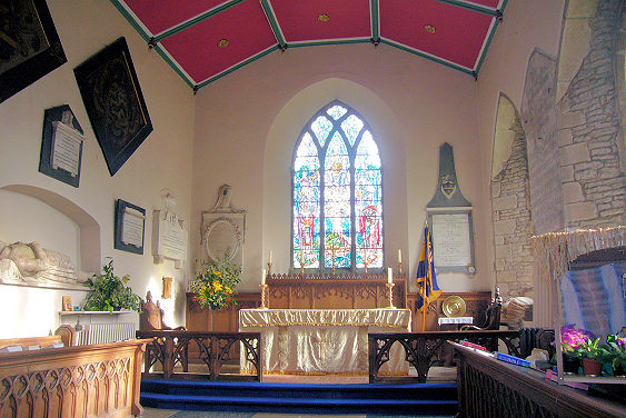
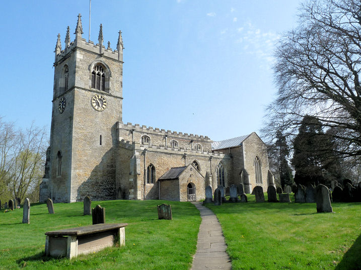
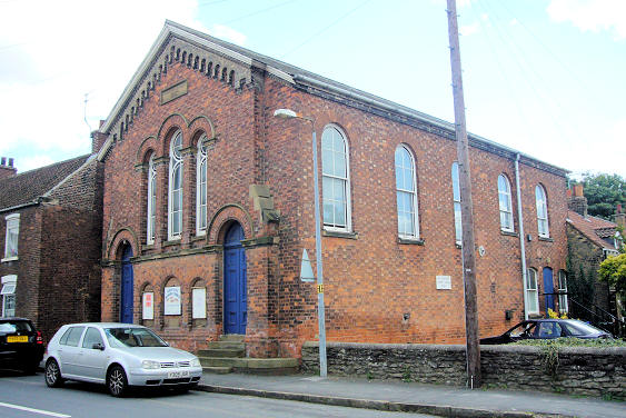
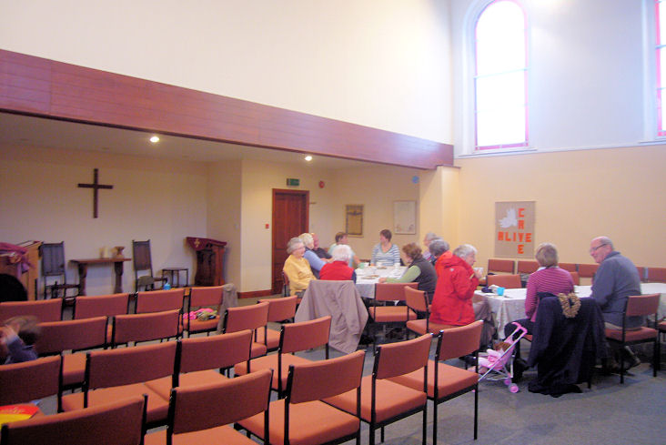
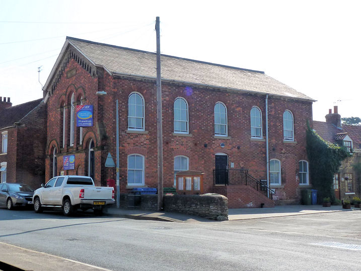
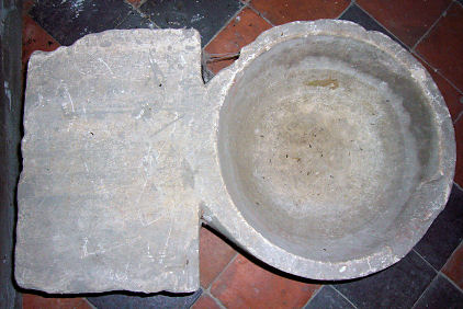
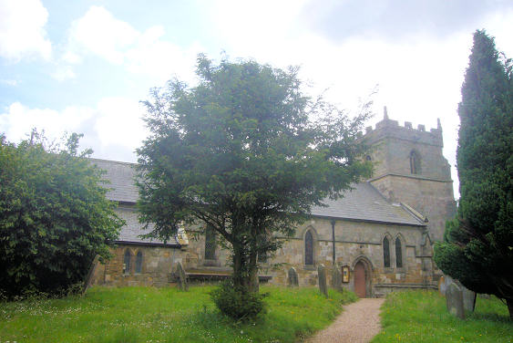
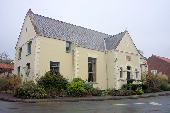
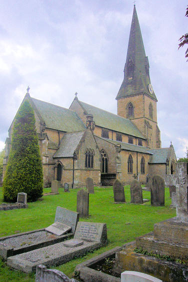
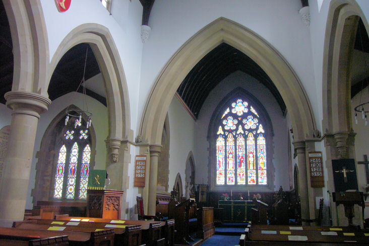
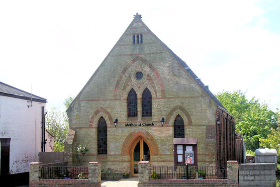
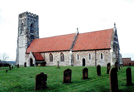
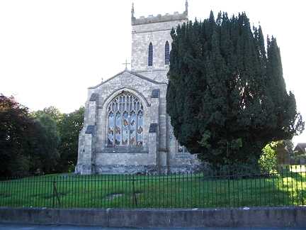
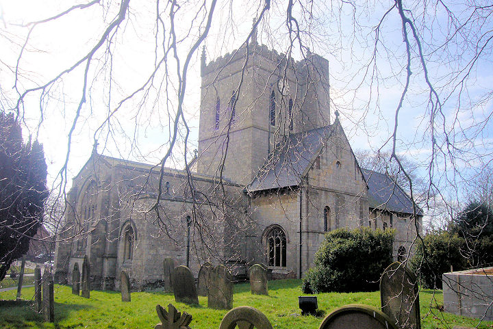
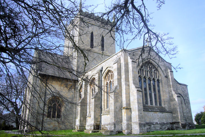
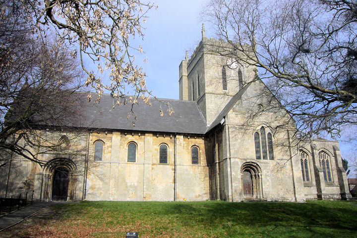
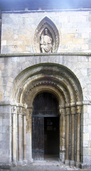
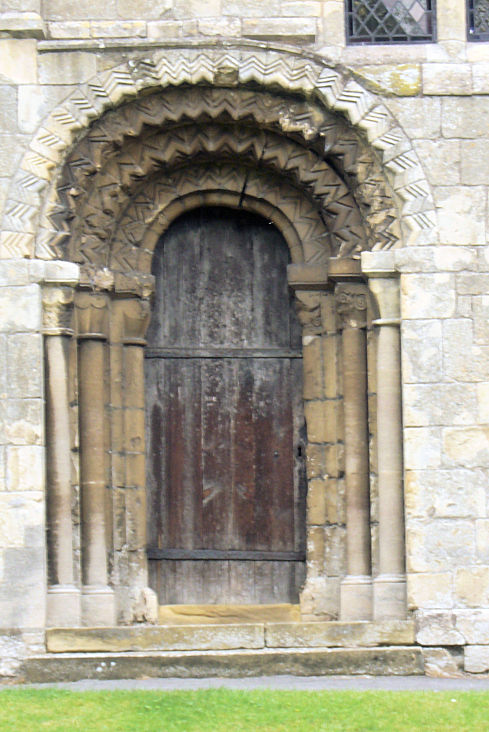
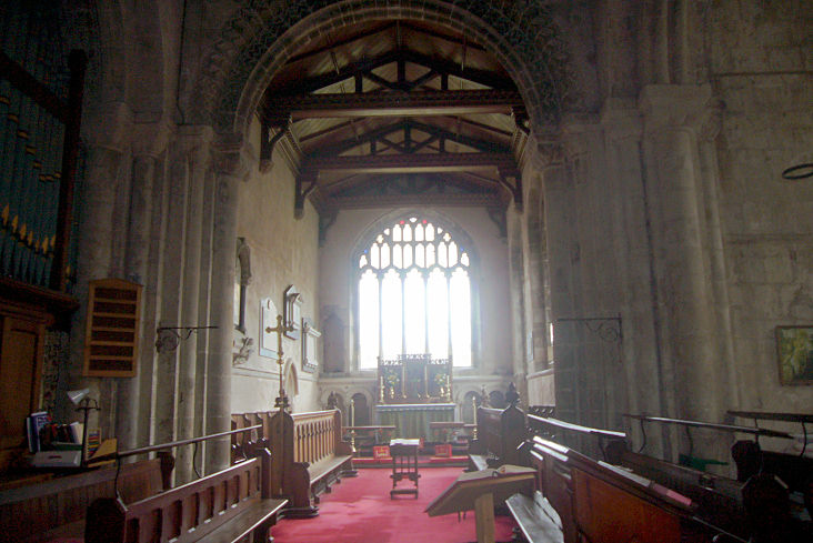
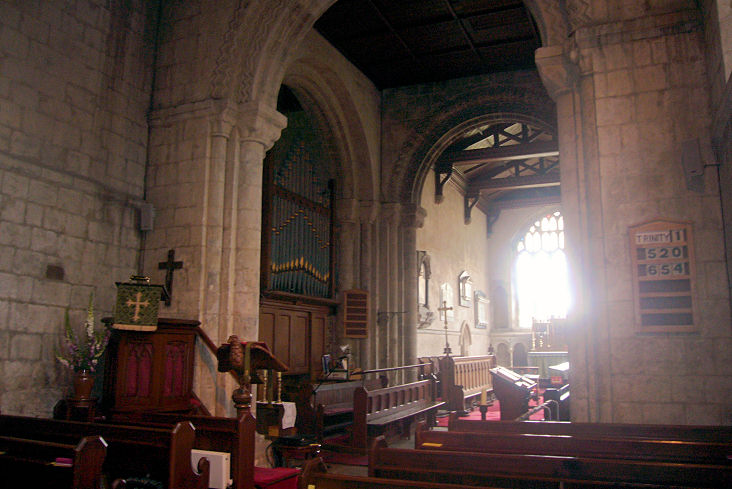
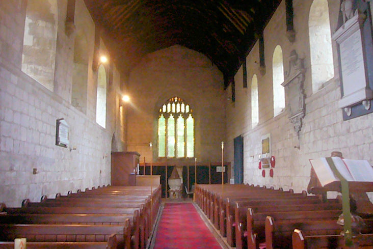
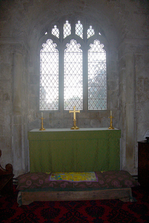
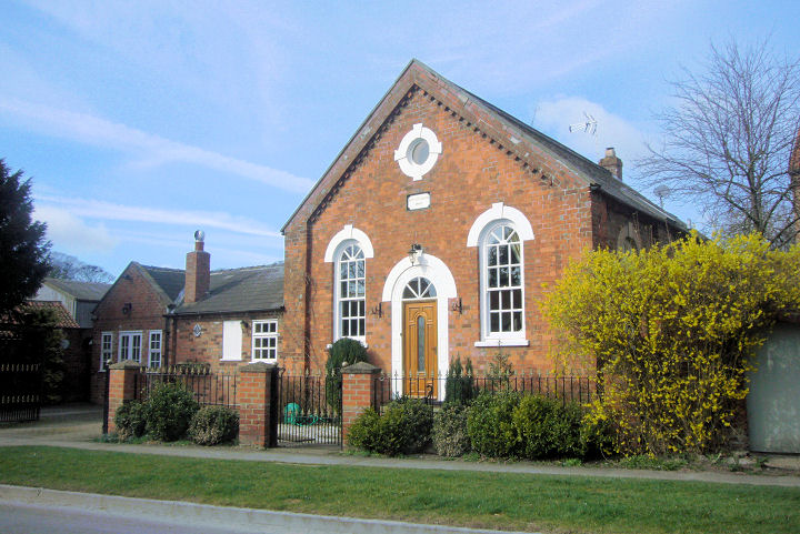
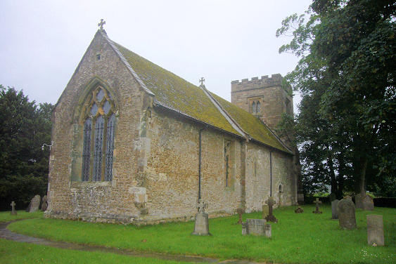
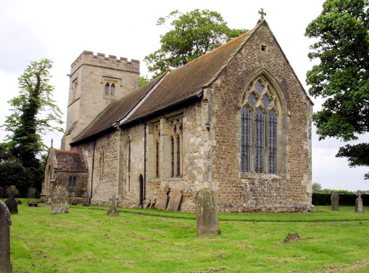
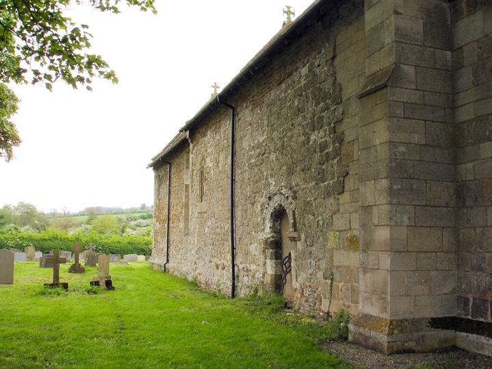
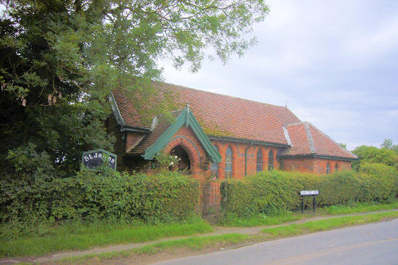
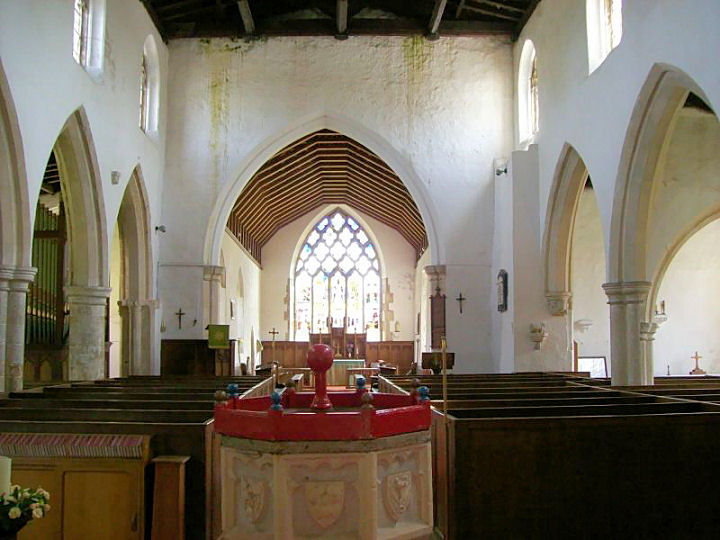
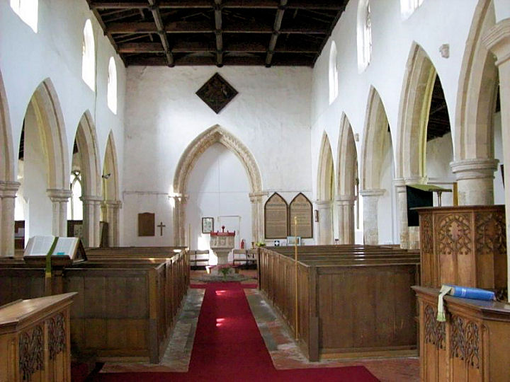
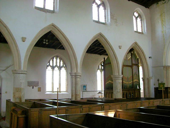
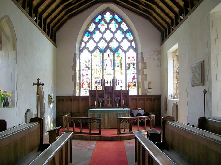
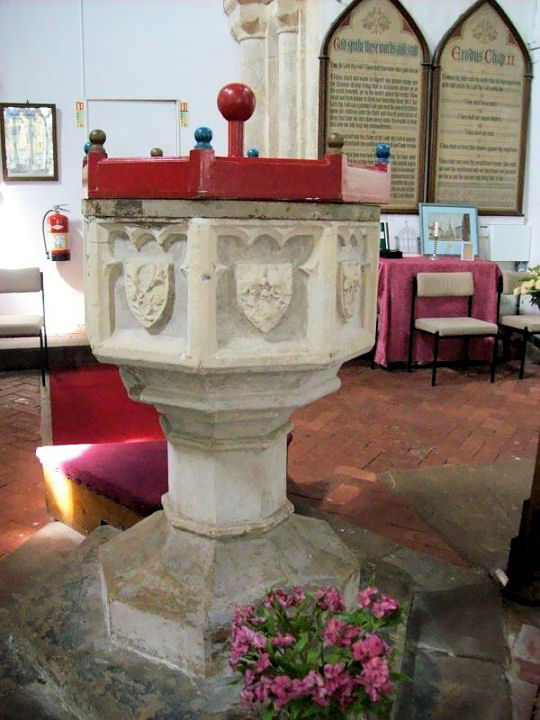
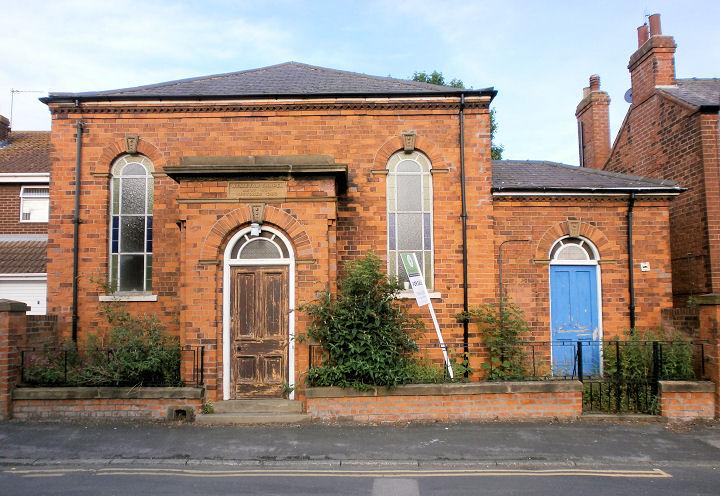
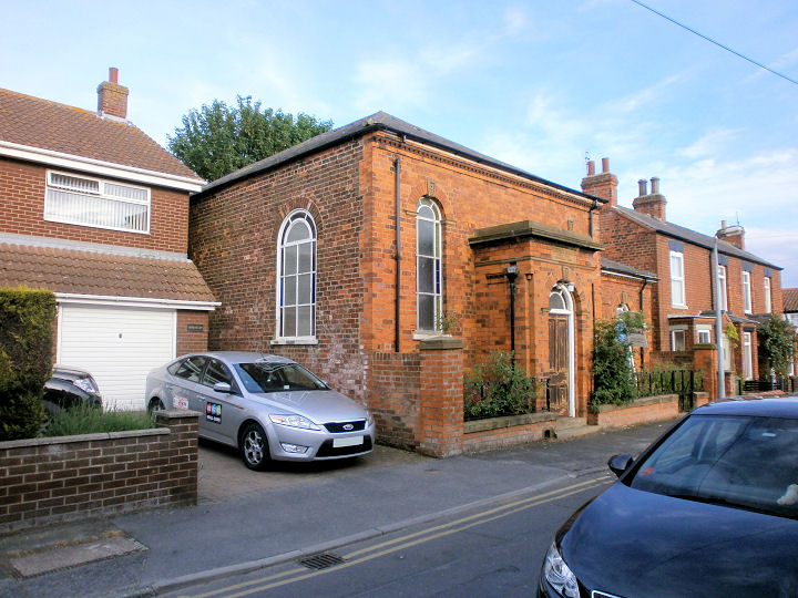
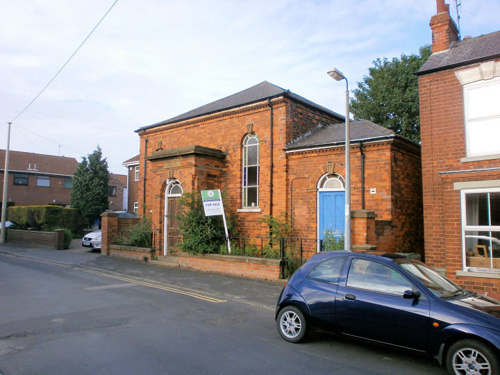
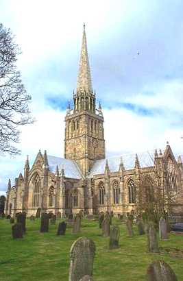
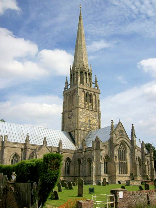
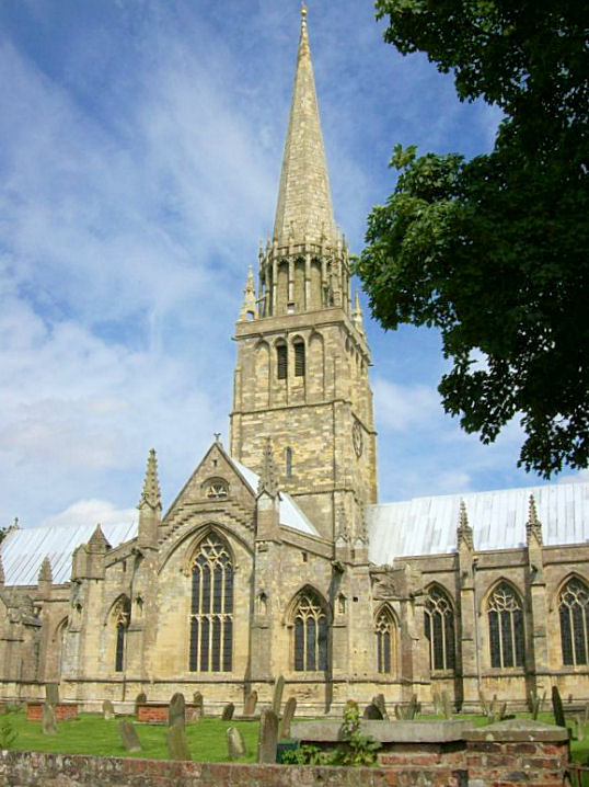
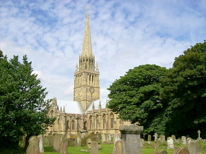
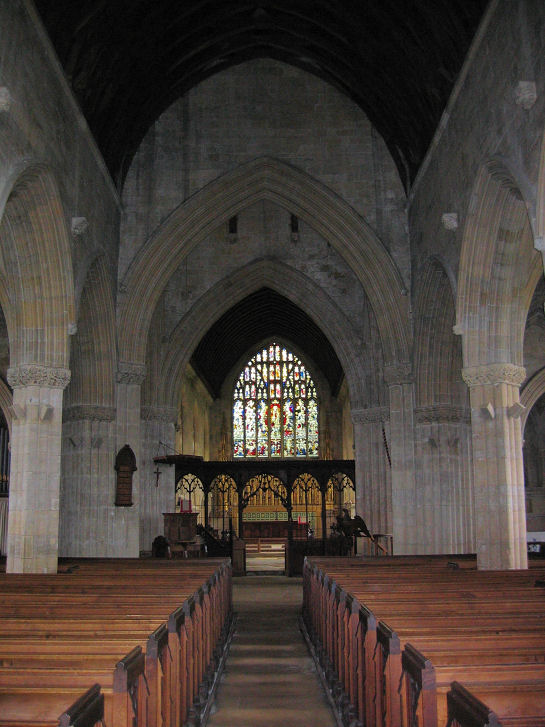
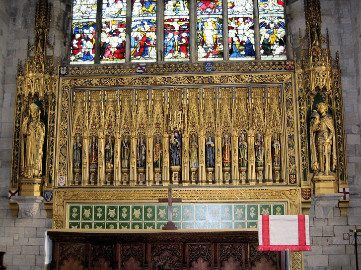
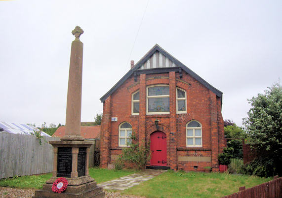
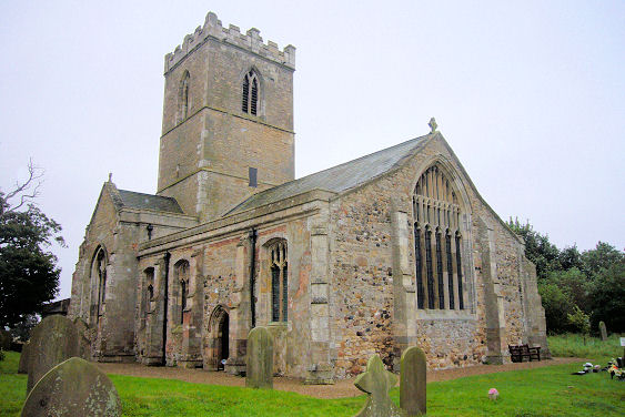
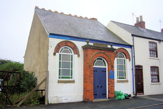
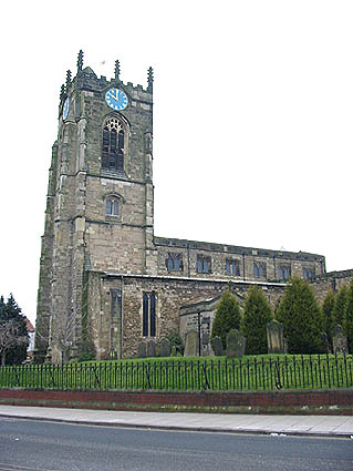
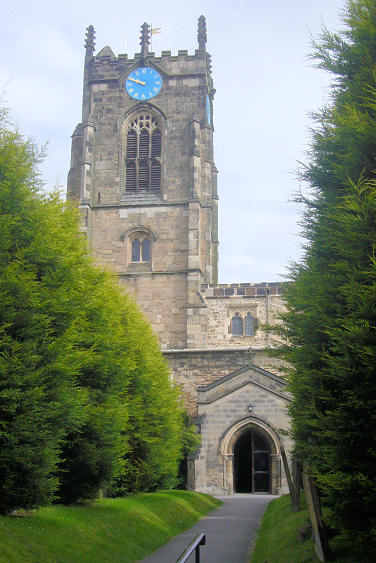
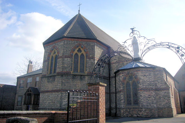
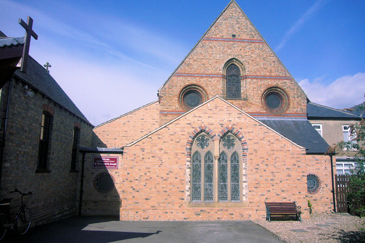
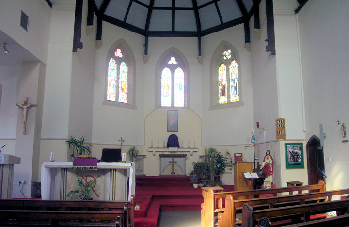
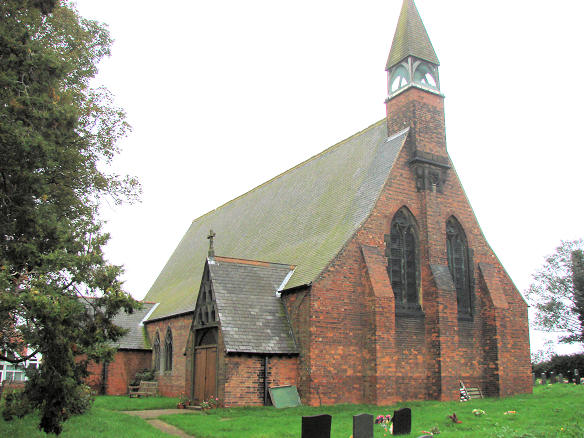
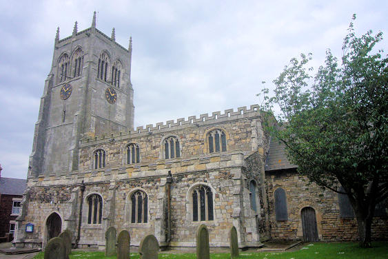
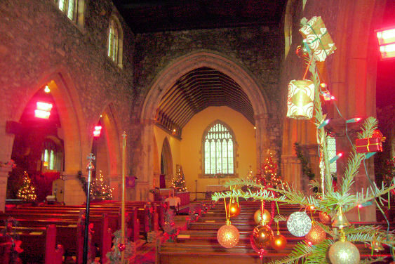
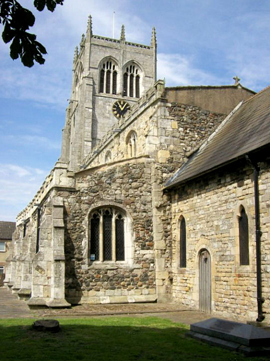
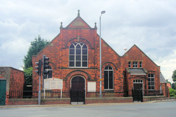
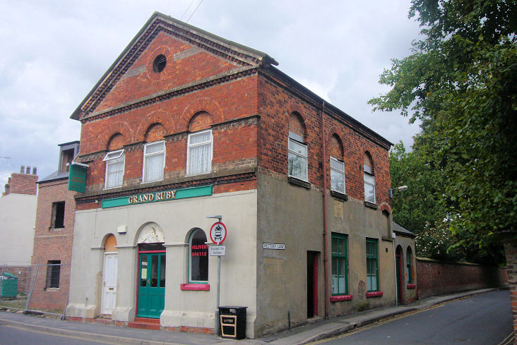
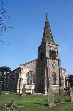
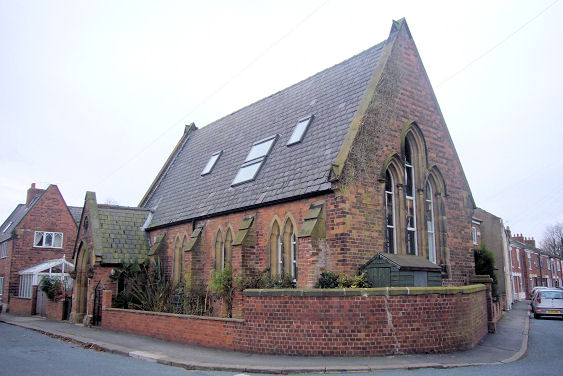
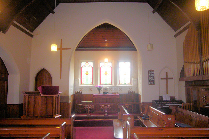
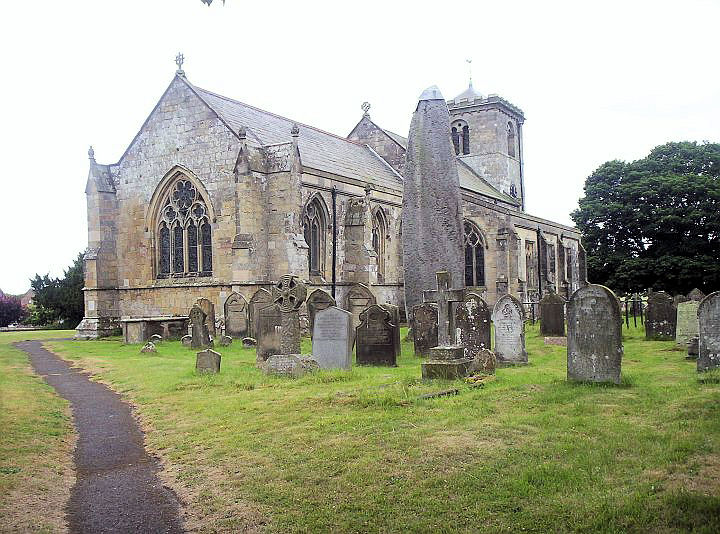
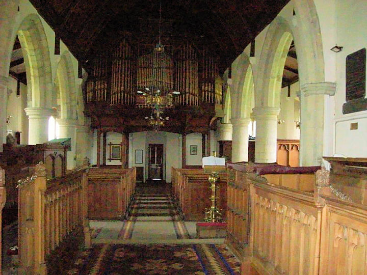
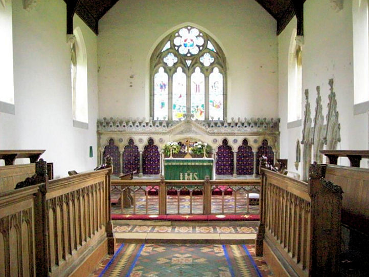
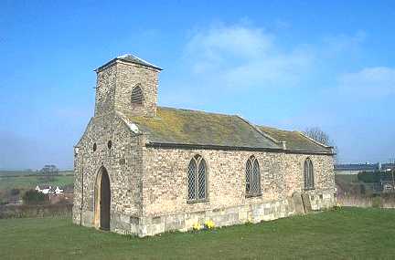
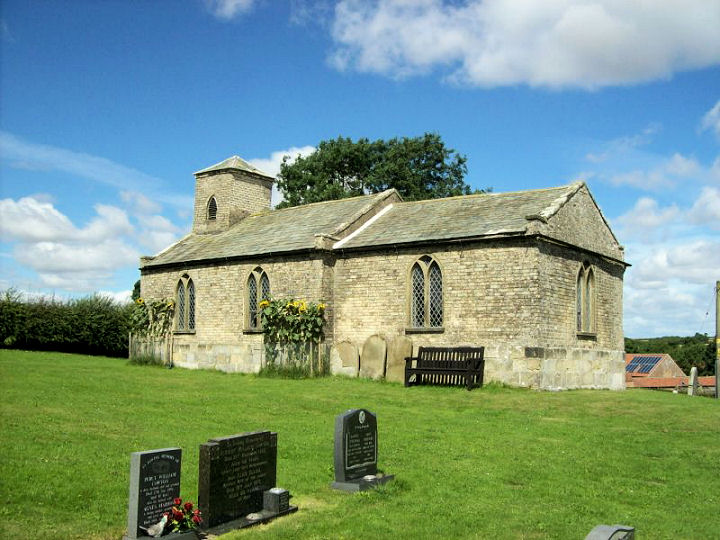
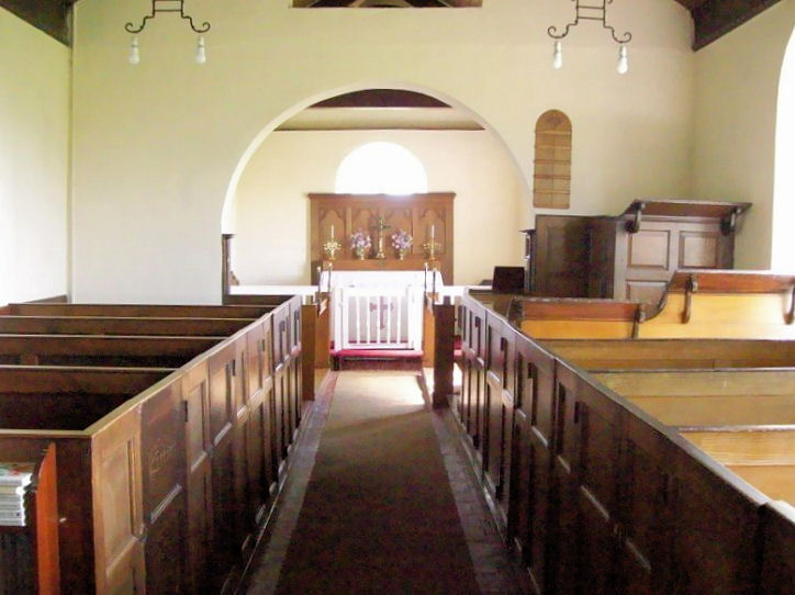
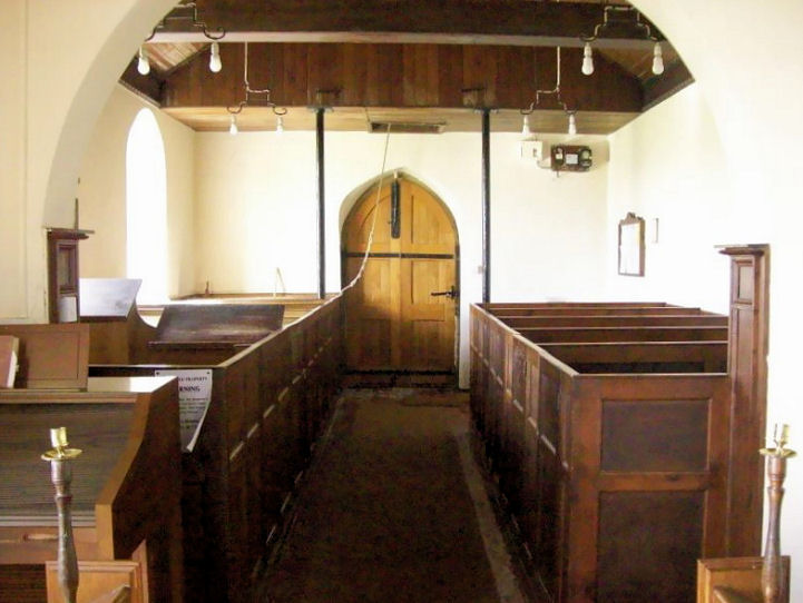
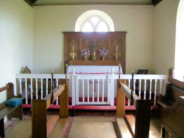
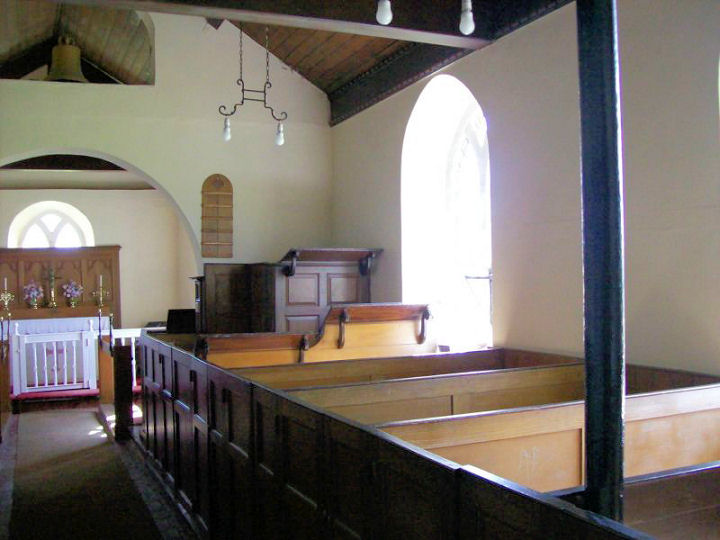
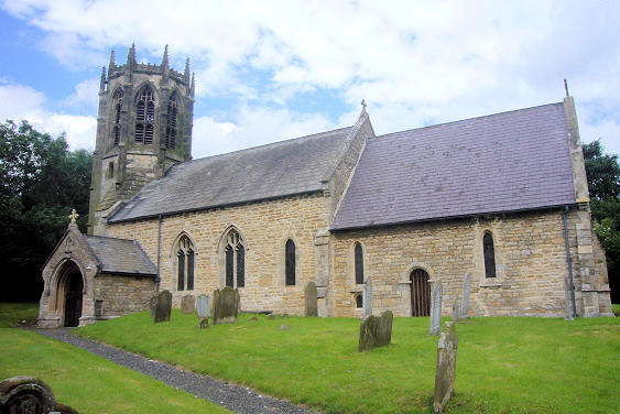
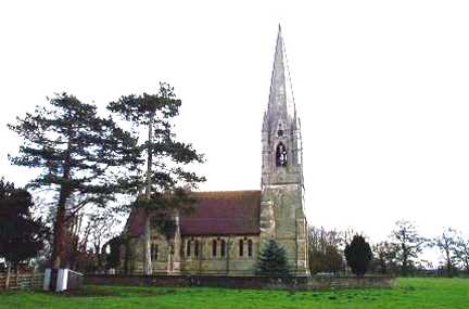
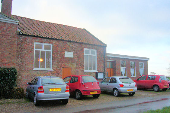
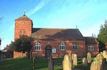
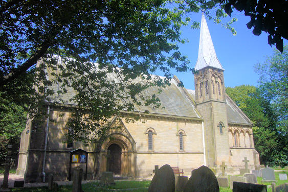
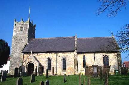
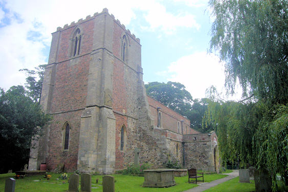
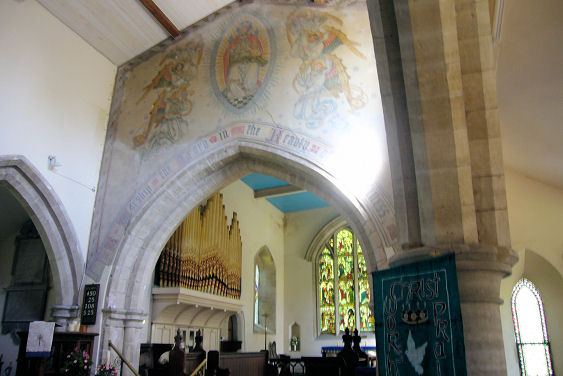
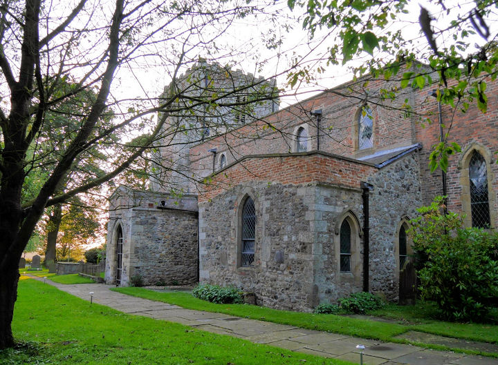
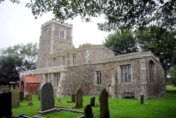
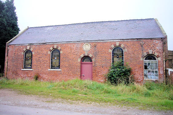
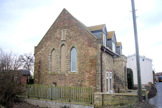
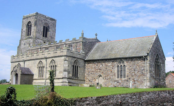
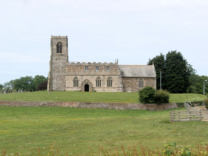
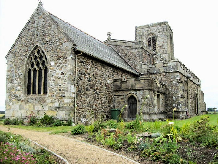
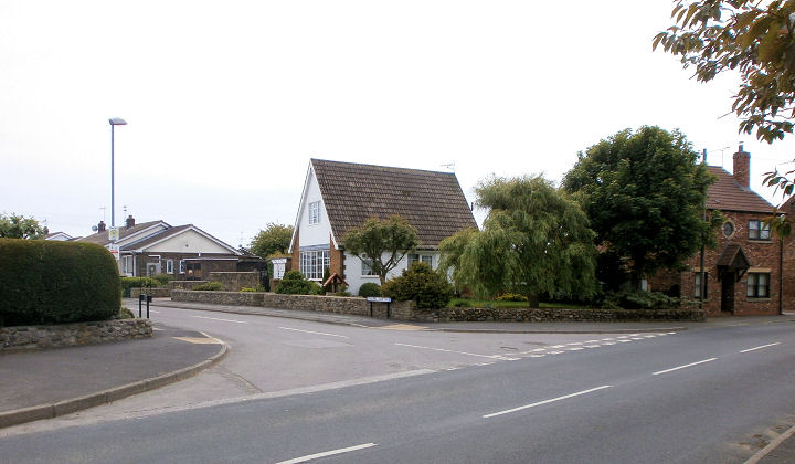
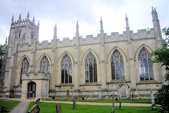
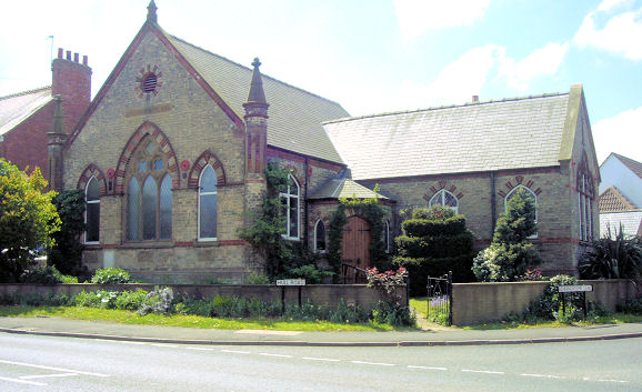
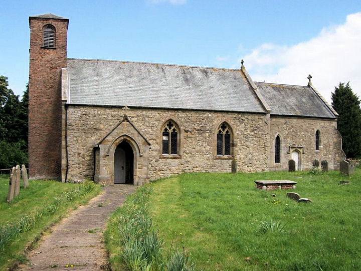
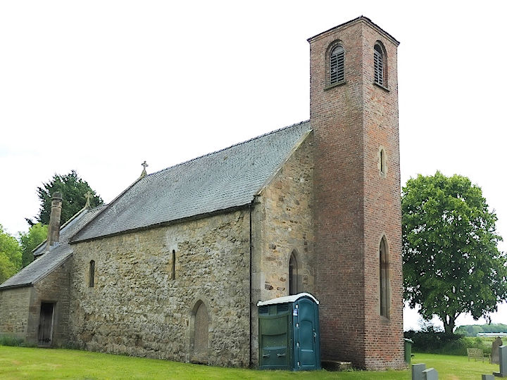
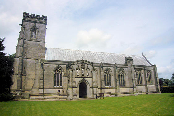
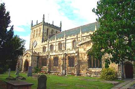
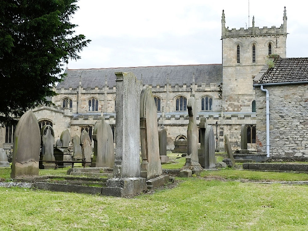
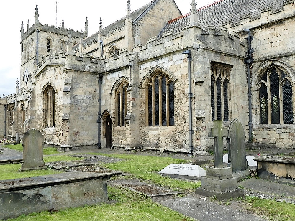
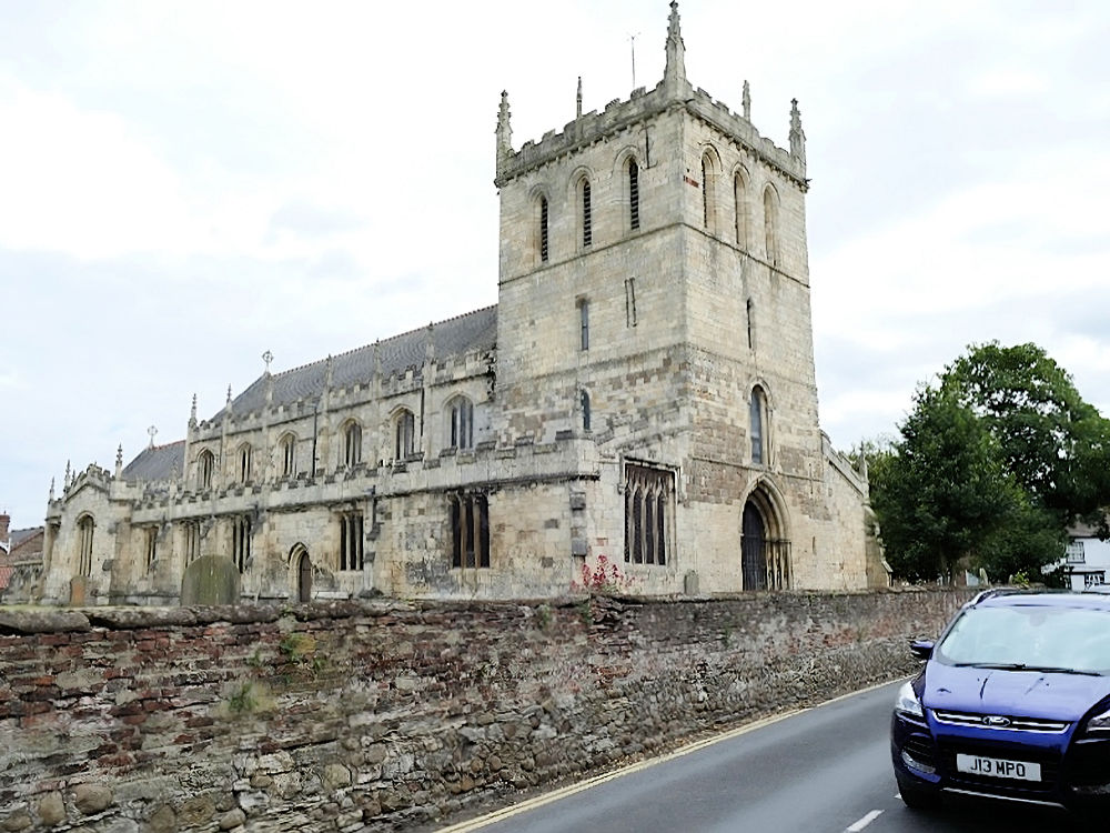
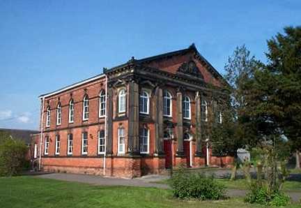
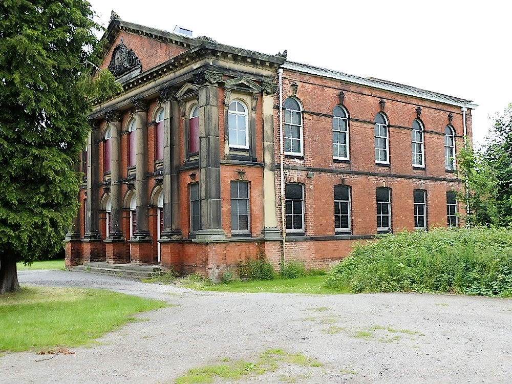
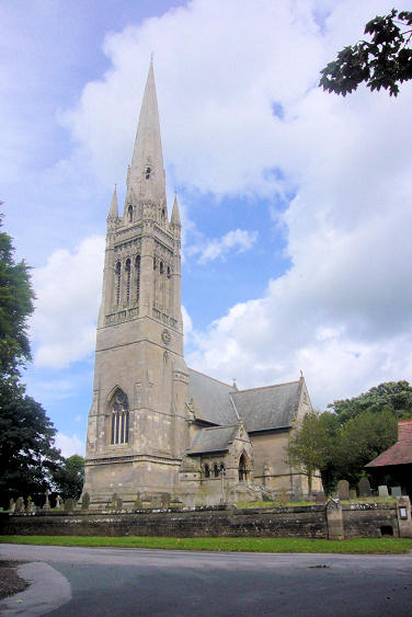
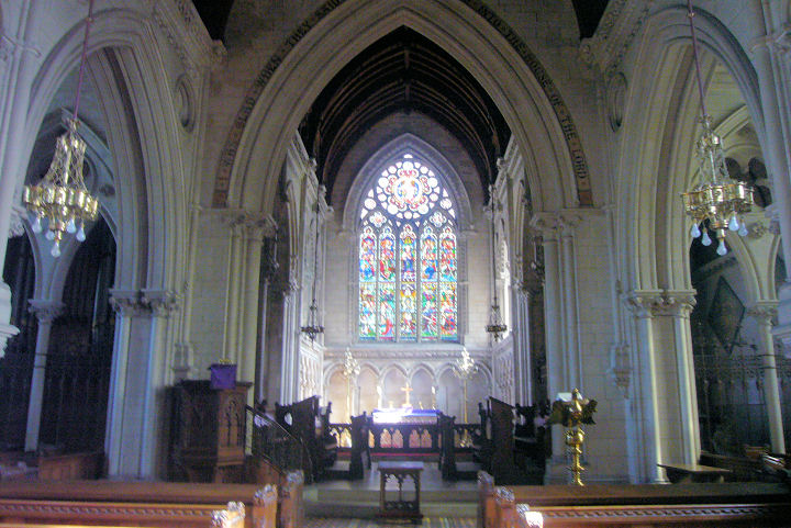
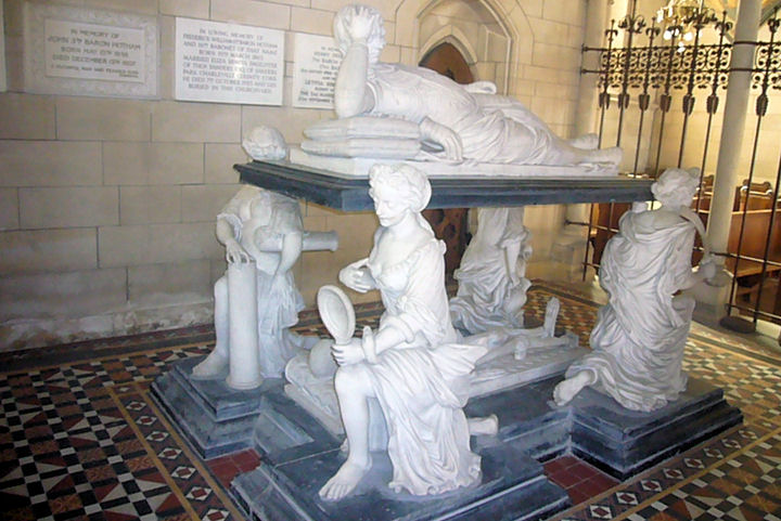
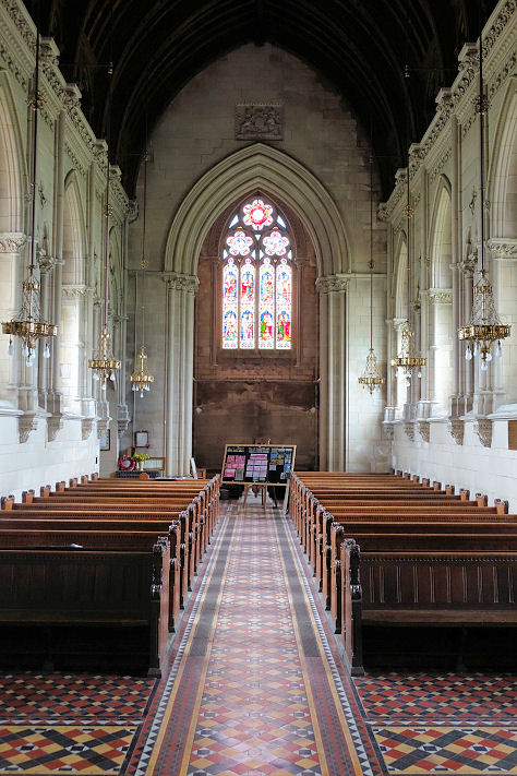
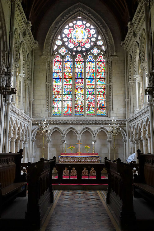
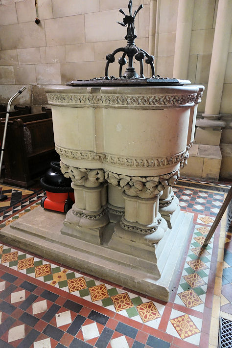
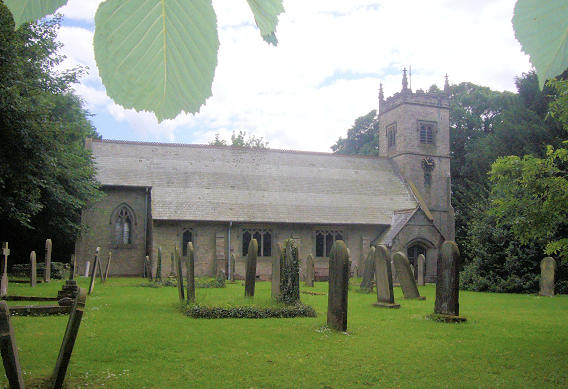
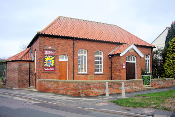
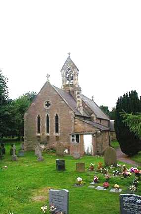
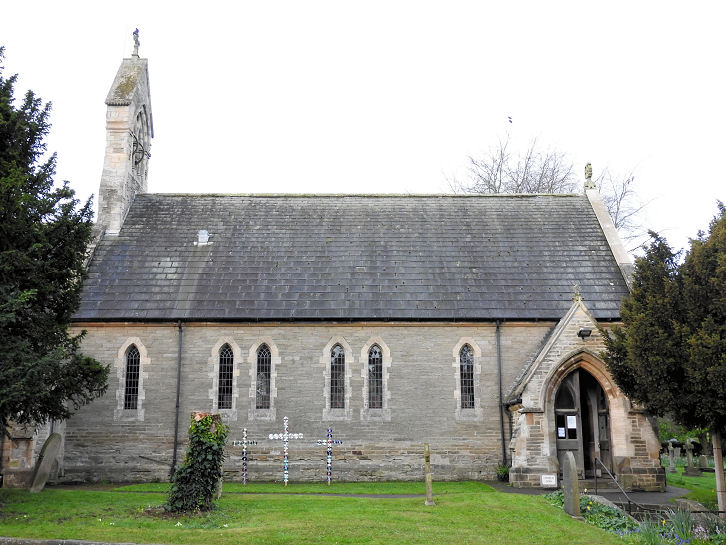
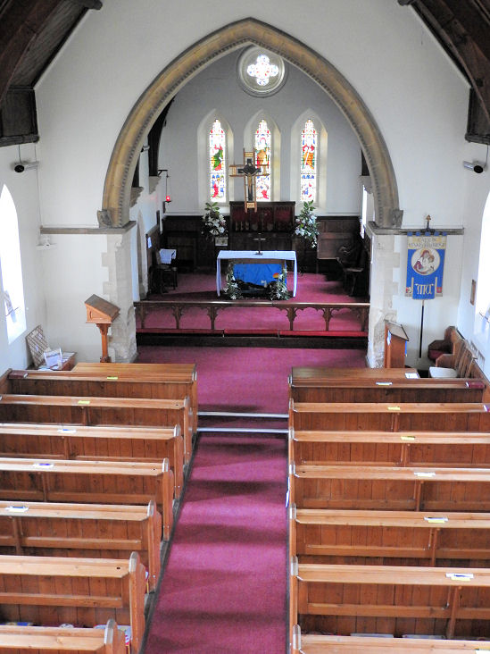
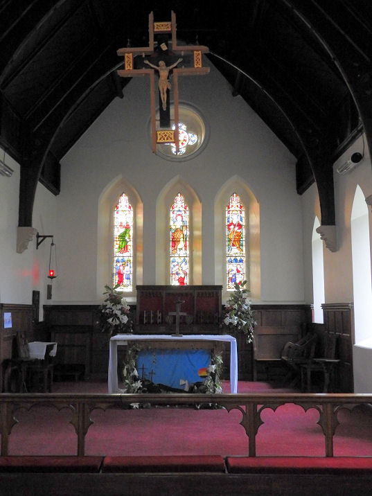
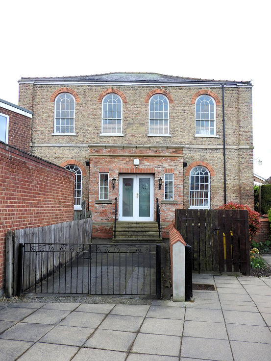
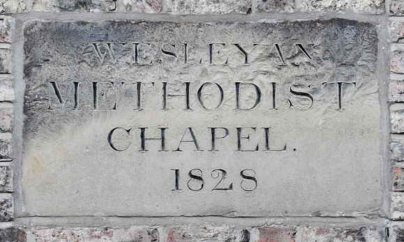
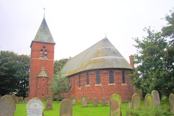
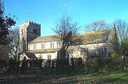
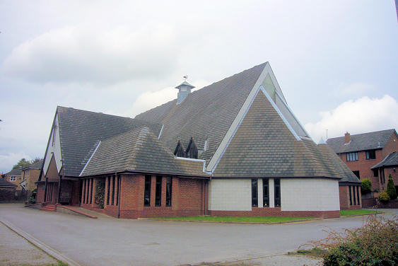
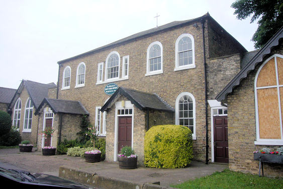
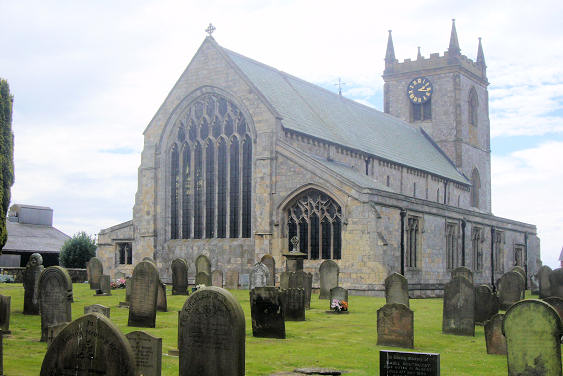
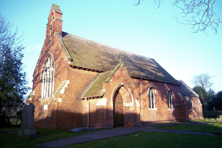
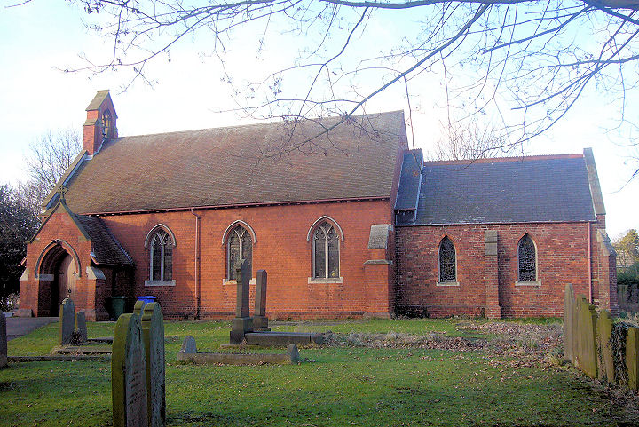
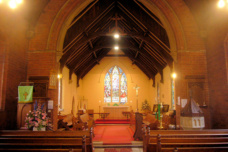
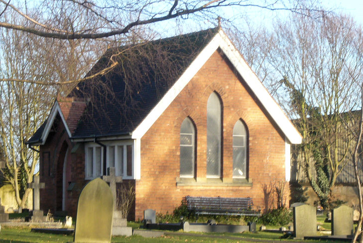
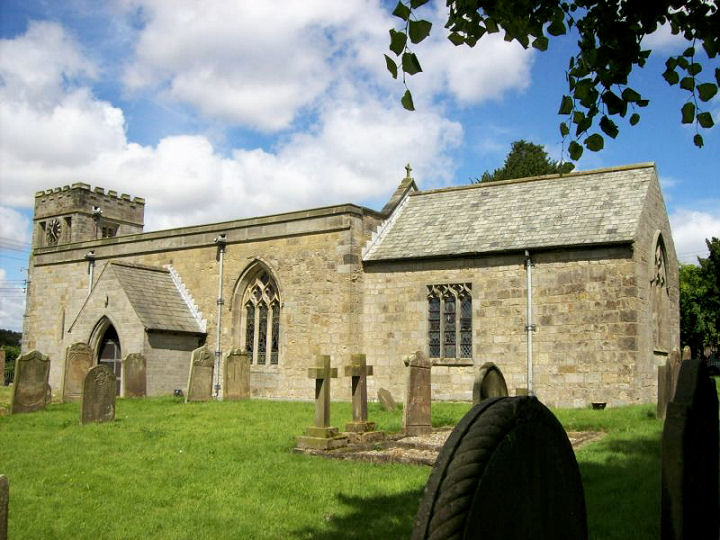
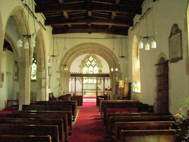
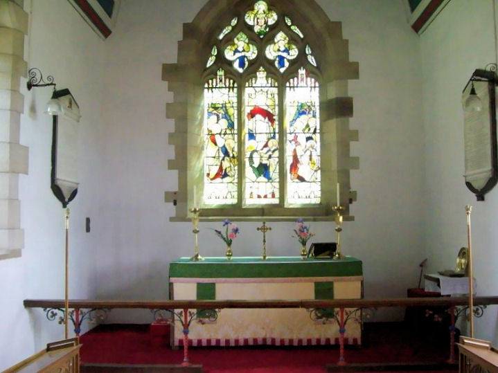
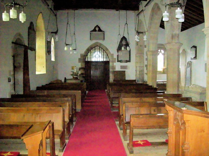
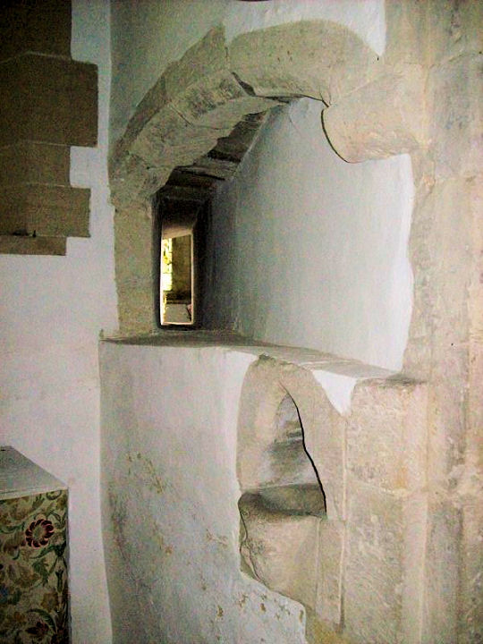
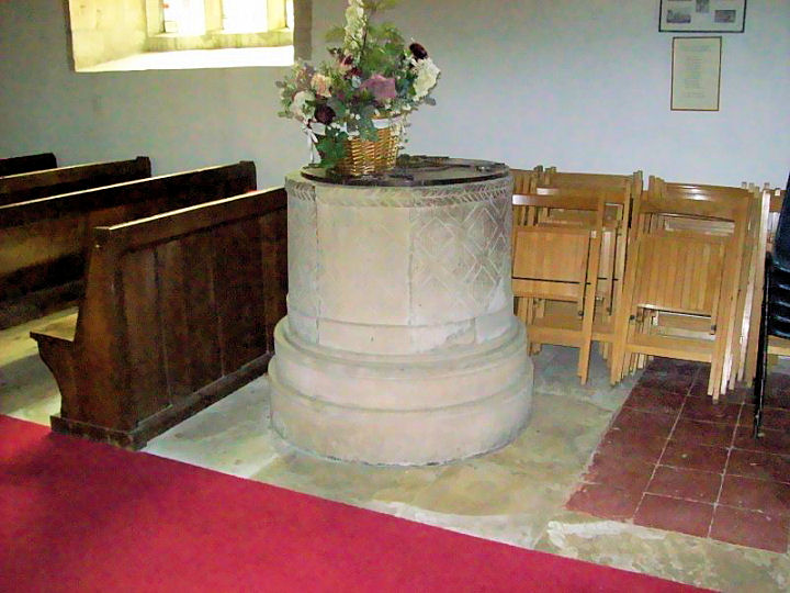
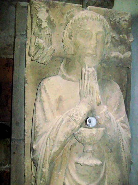
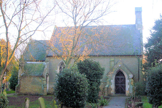
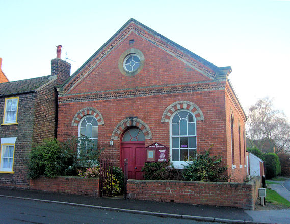
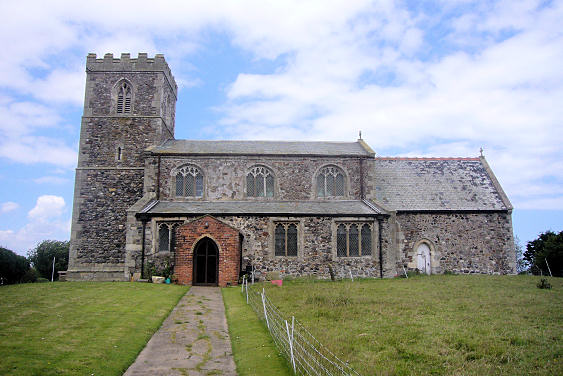
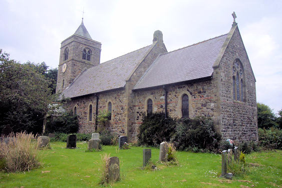
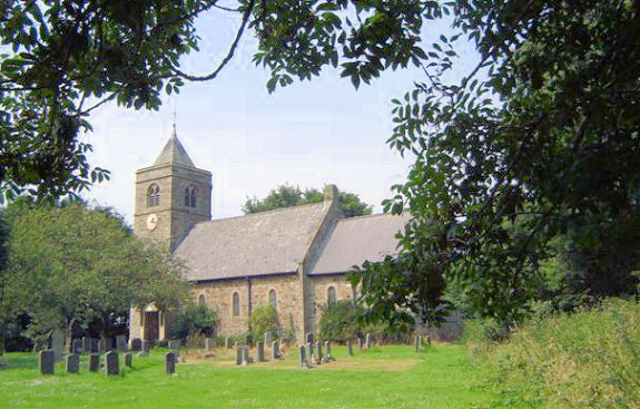
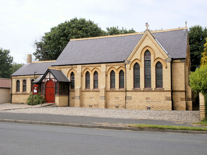
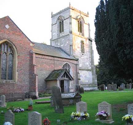
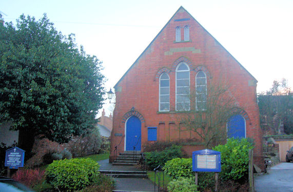
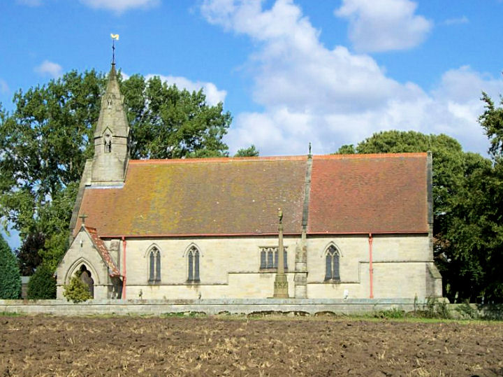
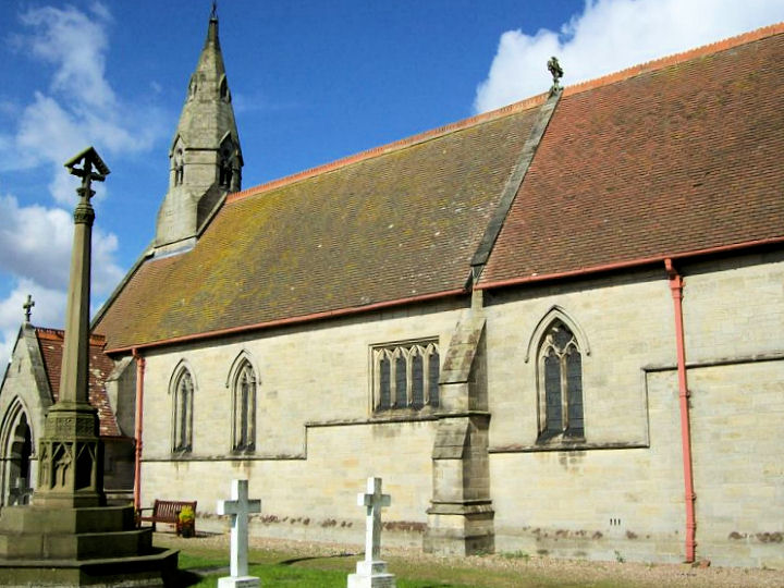
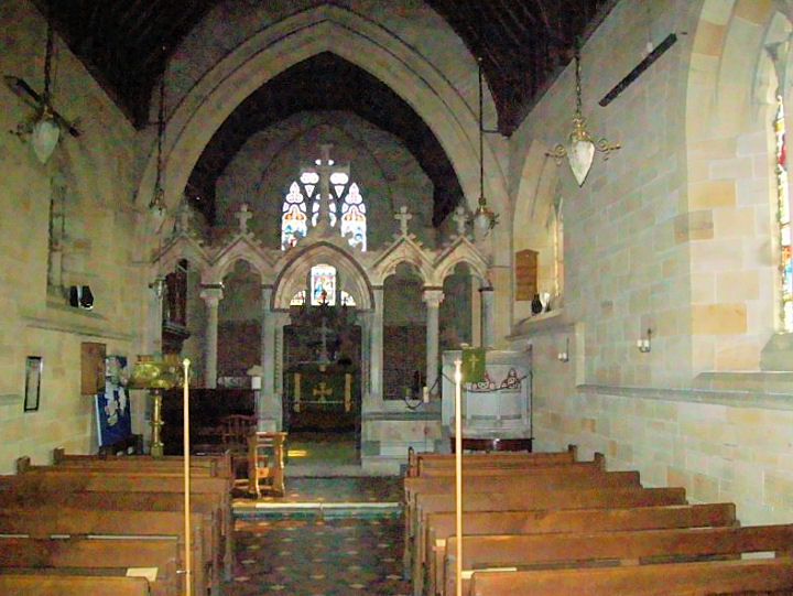
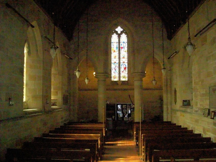
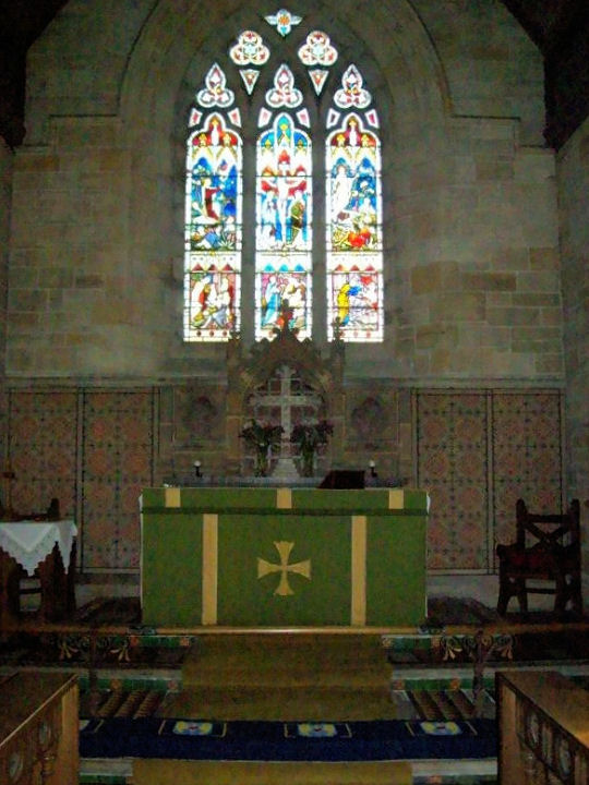
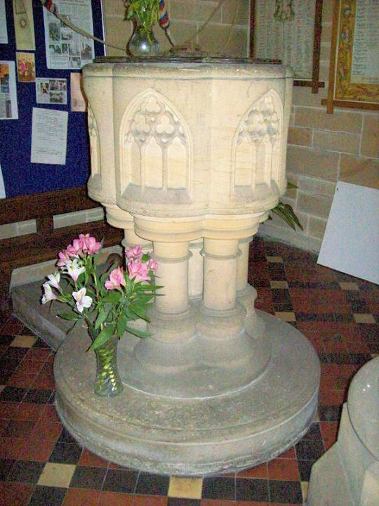
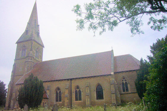
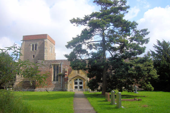
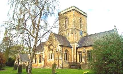
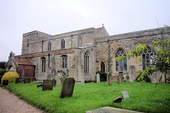
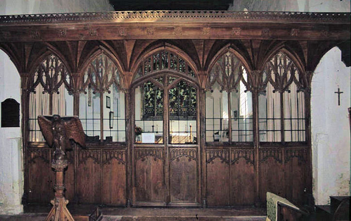
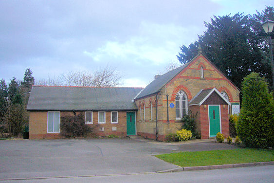
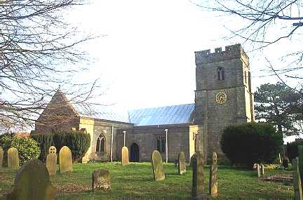
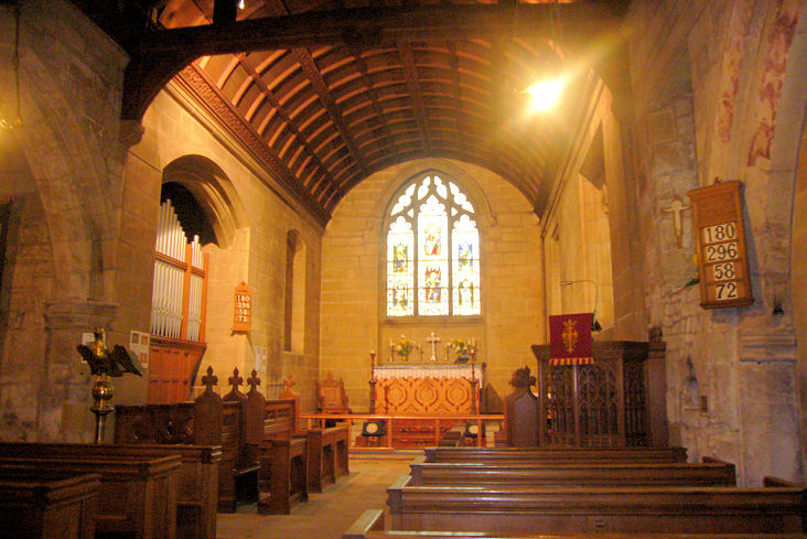
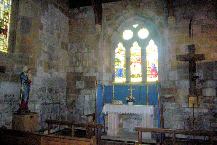
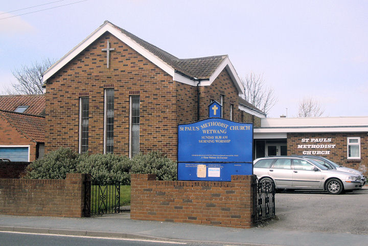
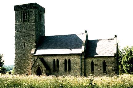
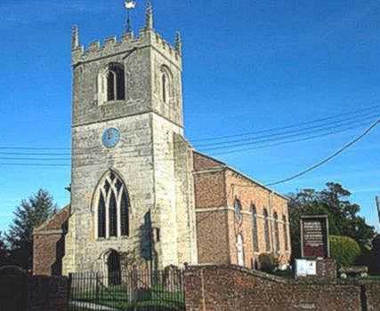
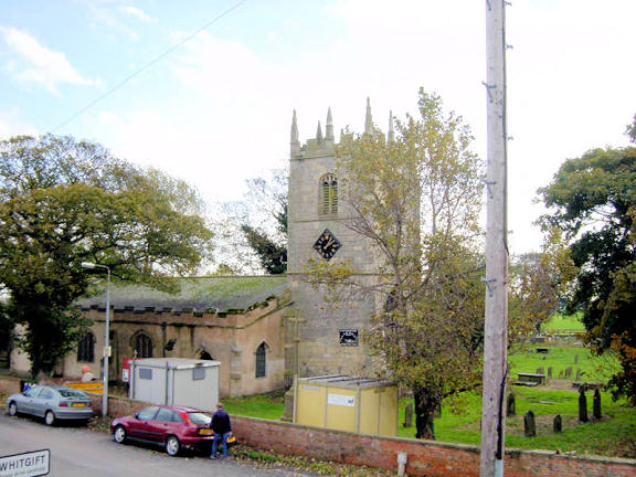
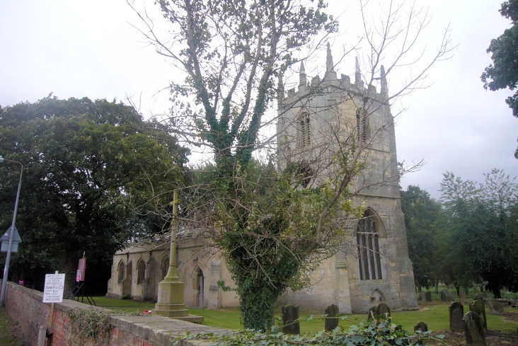
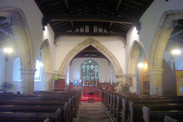
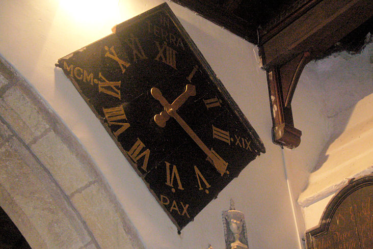
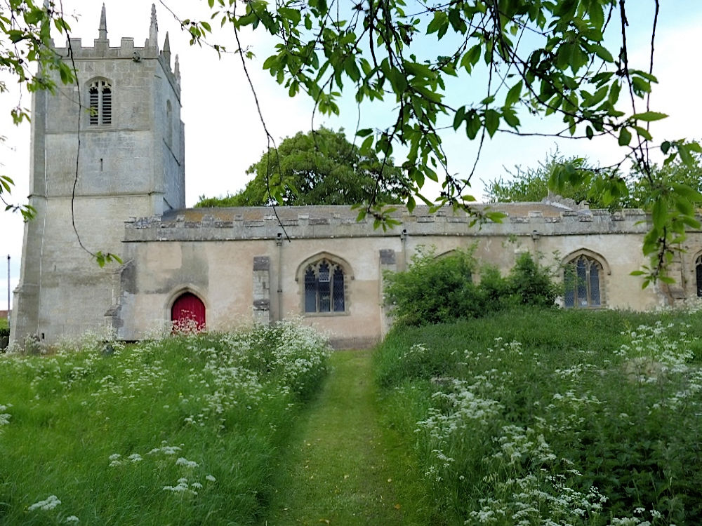
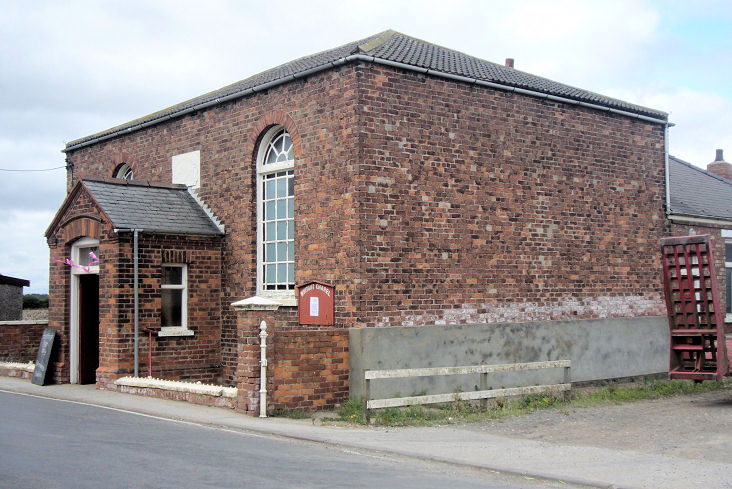
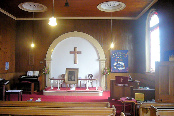
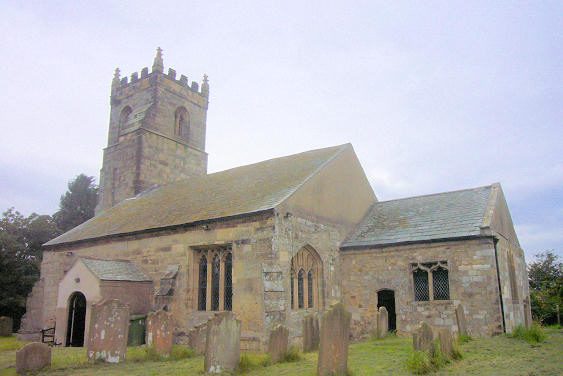
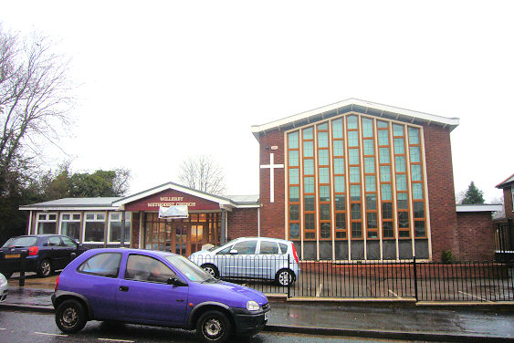
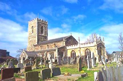
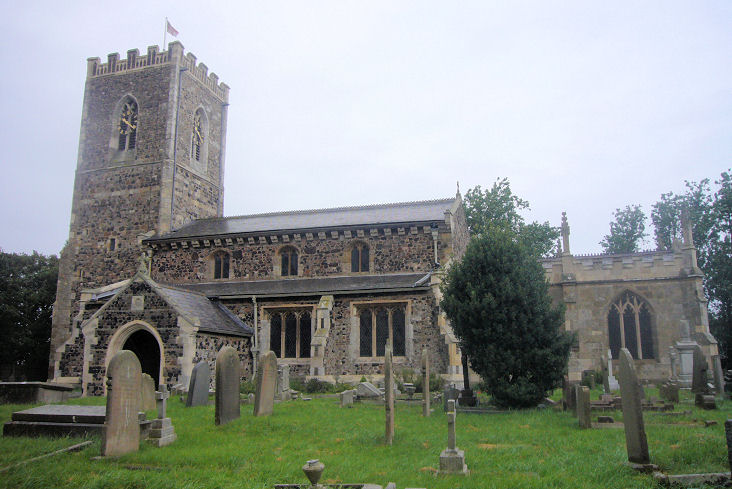
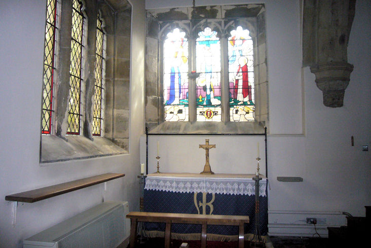
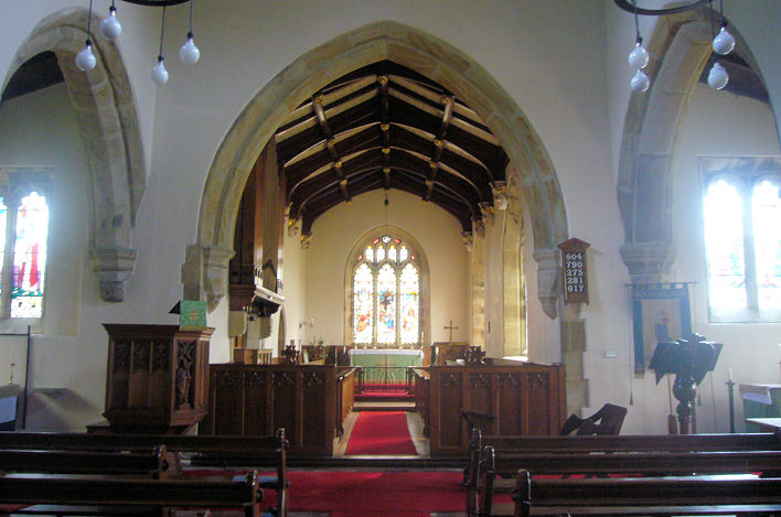
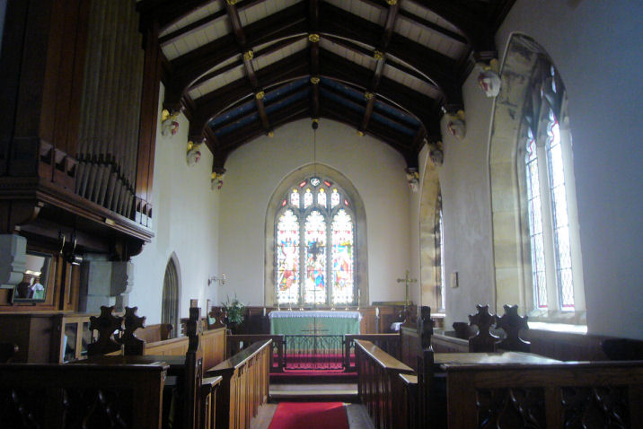
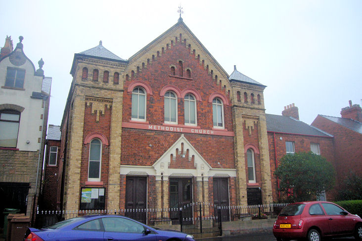
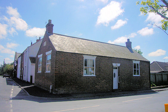
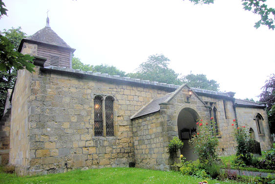
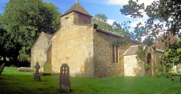
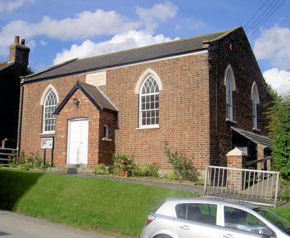
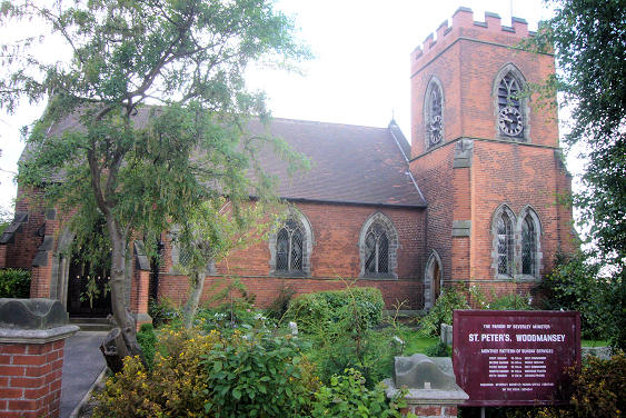
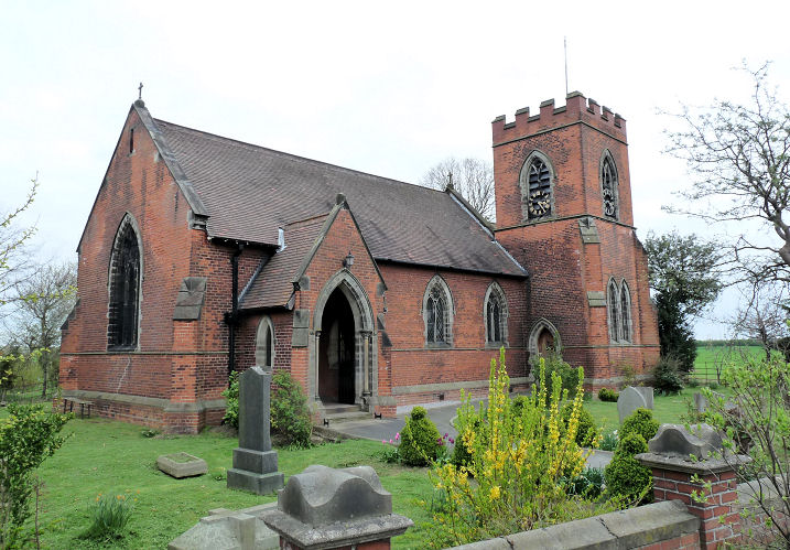
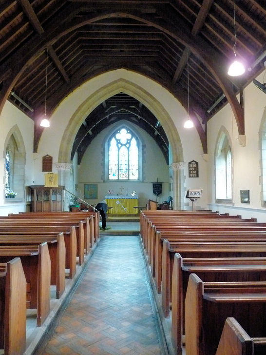
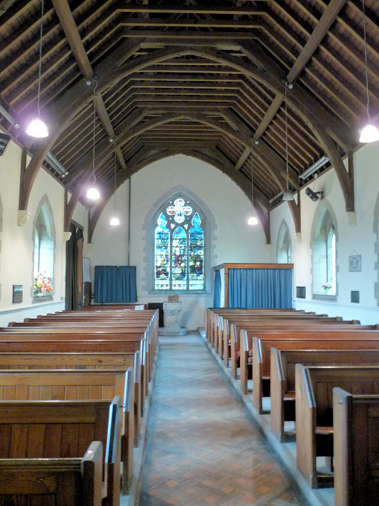
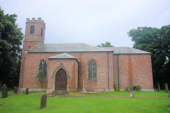
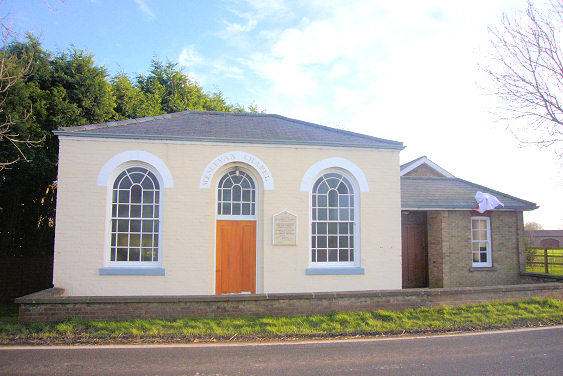
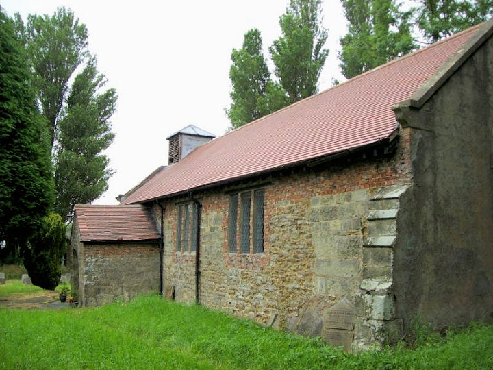
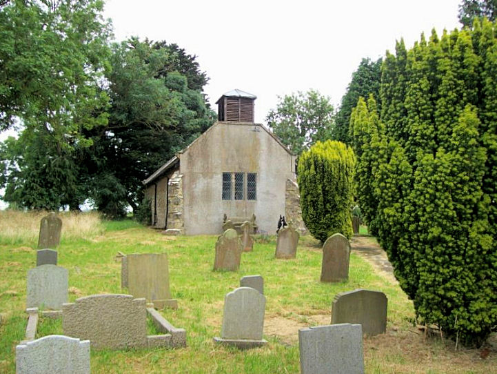
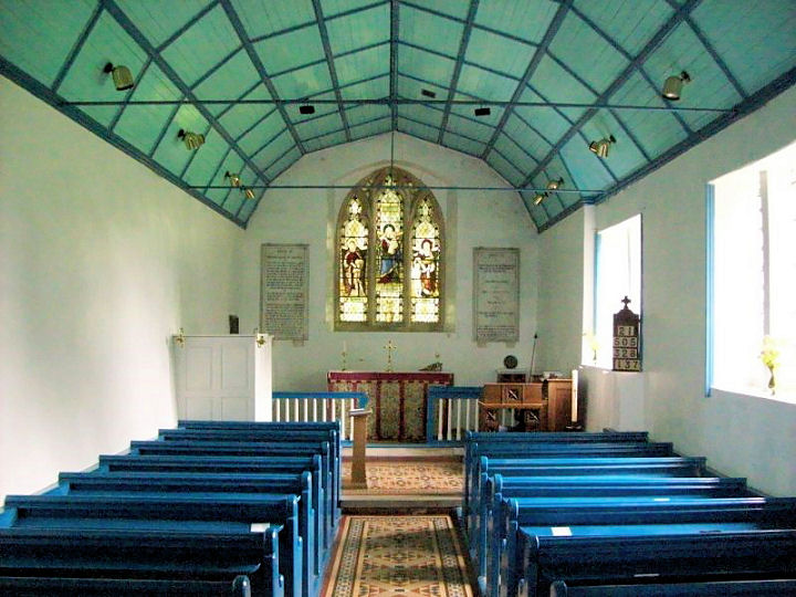
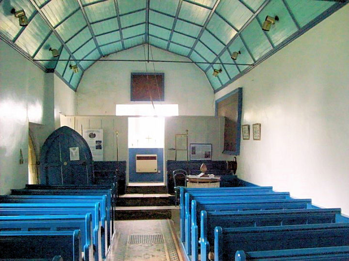
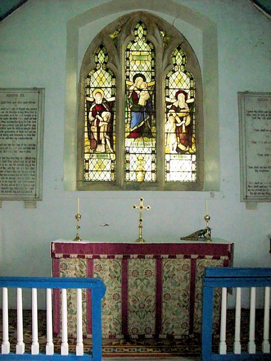
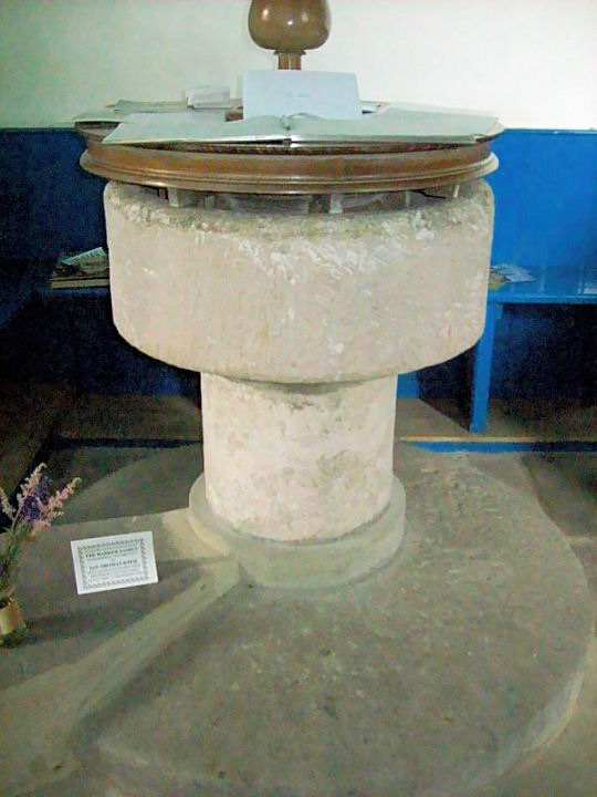