|
|
Aberdeenshire
Aberdeenshire on Wikipedia.
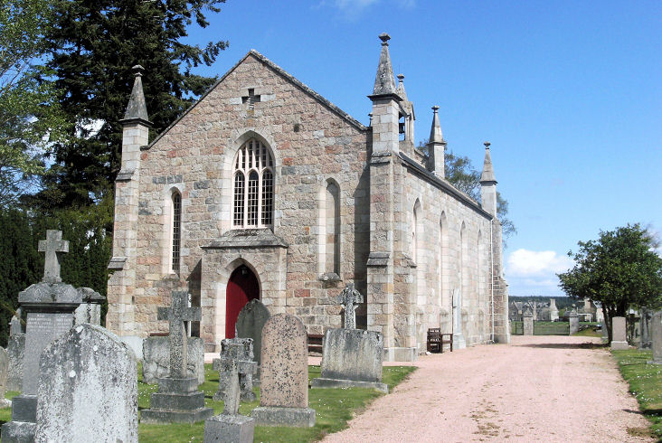
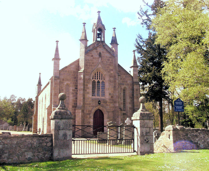
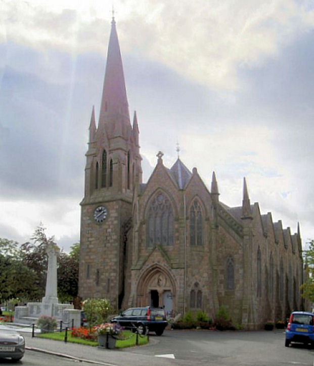
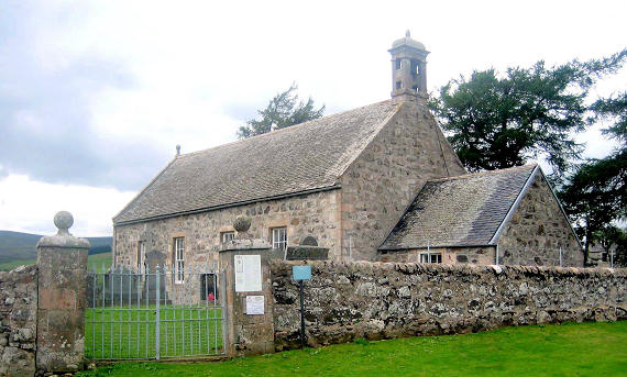
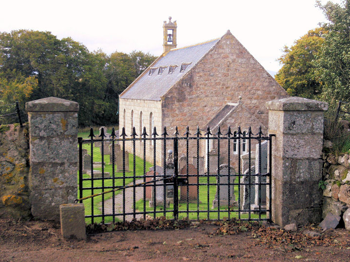
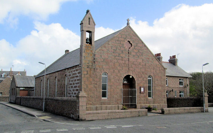
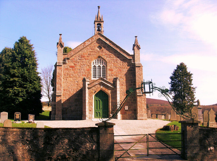
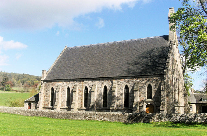
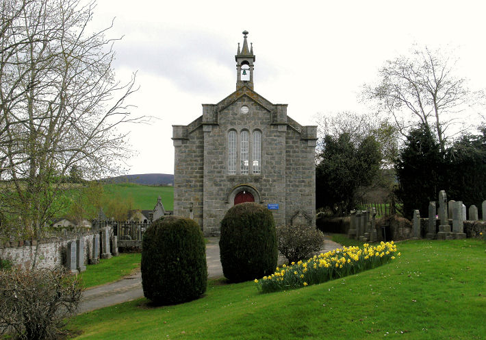
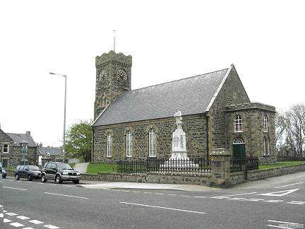
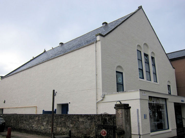
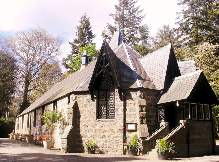
Aboyne, Aboyne-Dinnett Parish Church (Church of Scotland).
Another view. NO 5248 9831. Both ©
John Mackie (2010). Link.
St. Margaret (R.C.) stands a little way to
the north, at NO 5253 9852. It can be seen
here and
here in 2011
Streetviews. This
source dates it to the 1870's. St. Thomas'
Episcopal Church stands further west at NO 5203 9857, and is
dated
here (includes photos) to 1907-9. Almost completely screened
by trees from the Streetview van, this
2011 view
only shows the lych-gate. A Free Church
(later United Free) is marked on the 25" O.S. map of 1900, at NO 5279
9837, on Charlestown Road. Seen
here in 2011, South
United Free Church (as it now is) is dated by this
source to 1859.
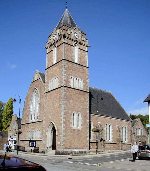
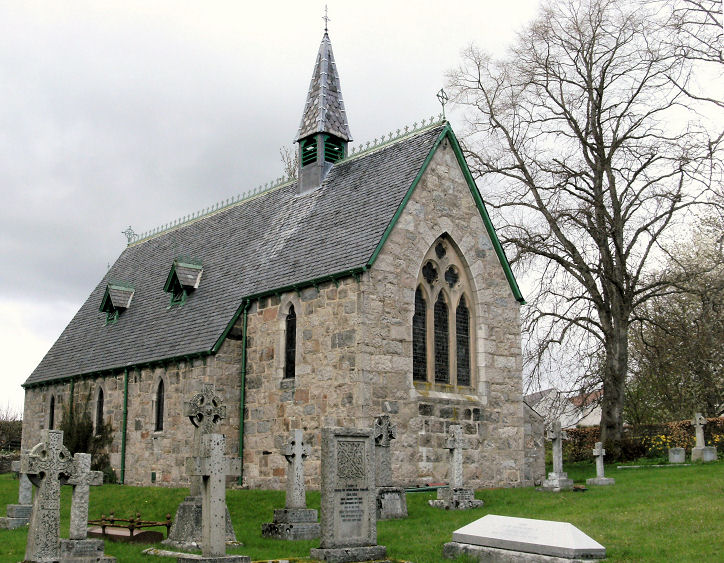
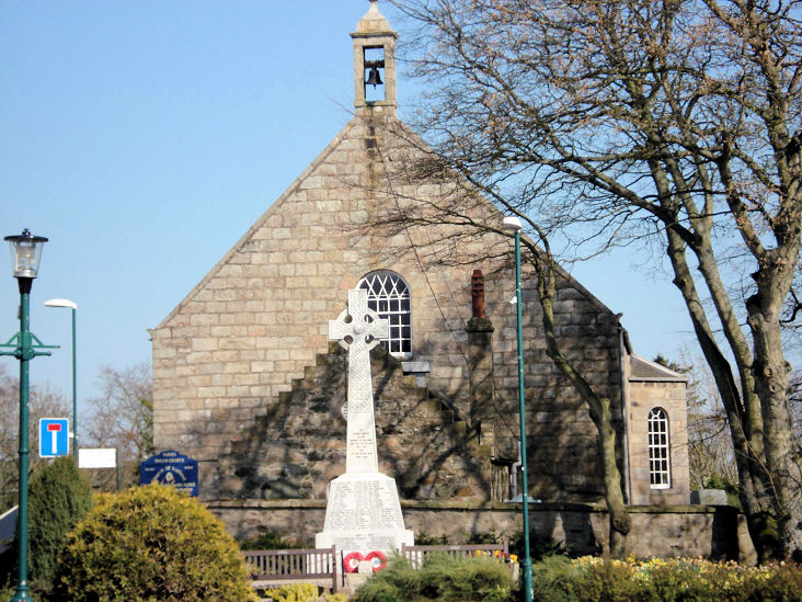
Alford, Howe Trinity Church of Scotland.
NJ 5815 1576. © John Mackie. Link.
Alford West Kirk (CoS) stands
about a mile and a half west of the village, at NJ 5540 1612. O.S. maps
label it On site of St. Andrew's Chapel. © John Mackie.
Category B listed. St. Andrew's Church
(Episcopal) however, is in the village itself, on Main Street, and was
seen by Streetview
in 2021. NJ 5764 1604.
Link.
Category C listed.
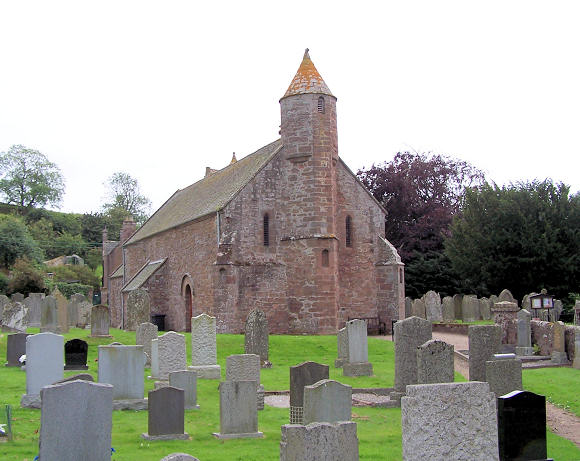
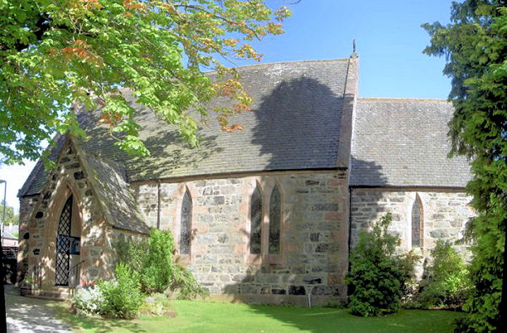
Arbuthnott, the parish
church. It's labelled as St. Mary's Chapel on older large scale
O.S. maps. NO 8015 7464. © Tommy Crocket.
Link1.
Link2.
Category A listed.
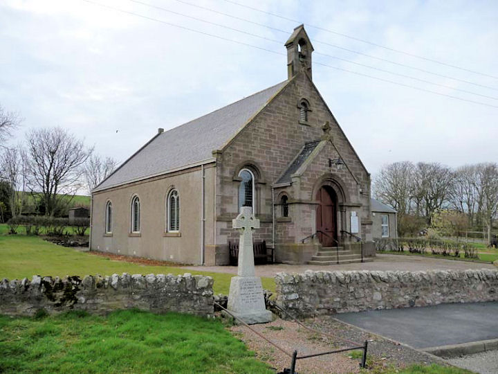
Auchterless, the parish
church. It's dated
here
to 1877-9, successor to St. Drostan, a fragment of which still stands,
at Insch (for which, see below). NJ 7136 4158. © Bill McKenzie.
Link.
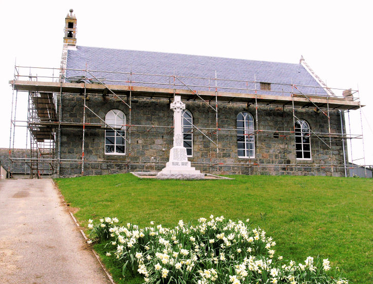
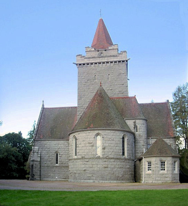
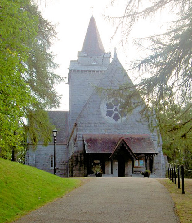
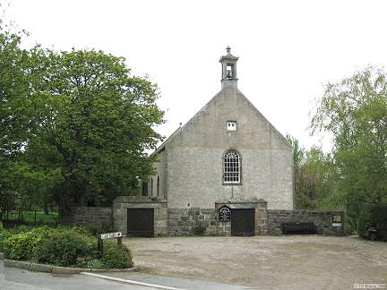
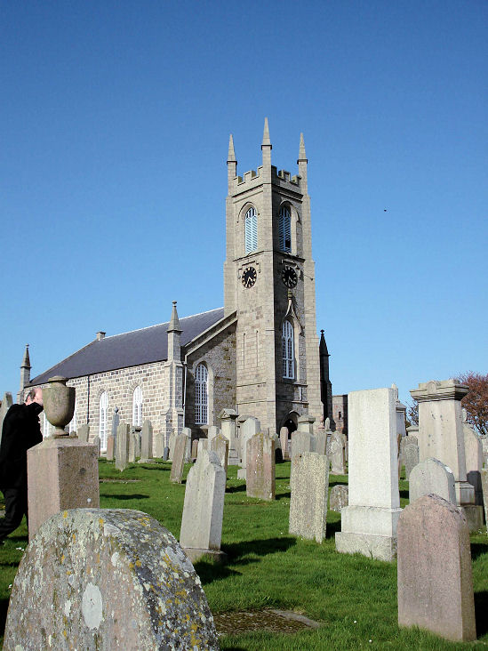
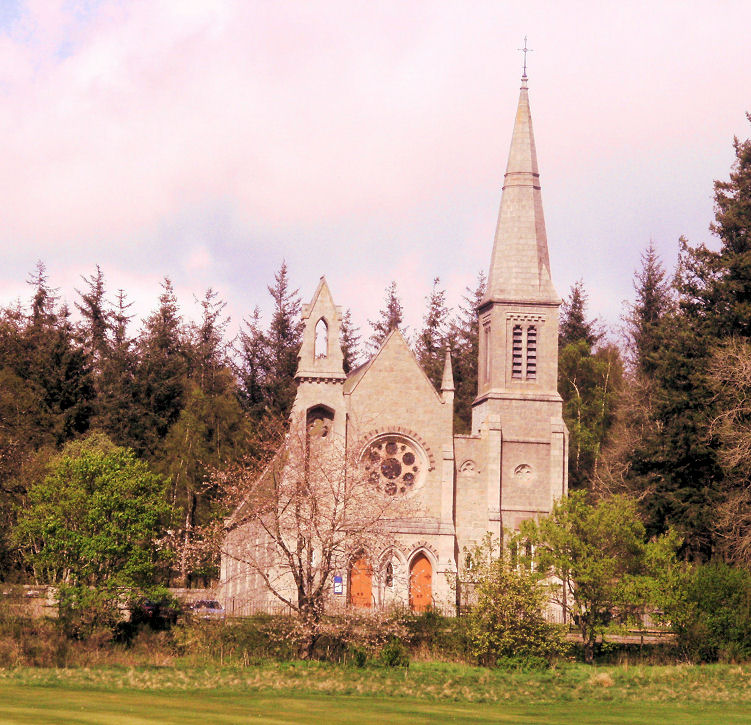
Ballater, Glenmuick Church (CoS)
on Church Square. NO 3699 9576. ©
Bill McKenzie. Two further views - 1, 2, and an
interior view, all © Alan Blacklock.
Link.
St. Nathalan (R.C.)
on Golf Road, as seen by Streetview in 2021. Screened by vegetation,
it's better seen
here, where it's dated to 1905. It's labelled as St. Nathalian on
some O.S. maps. NO 3668 9562.
St. Kentigern
(Episcopal) on Braemar Road and Provost Craig Road, as seen by
Streetview in 2022. It's dated
here to 1907, originally called St Saviour, and successor to an iron
church of 1897. NO 3685 9597.
Link.
Banchory, Banchory Ternan West Church (CoS)
on High Street and Mount Street. It's labelled on a map of 1903 as
South U.F. Church. NO 6945 9574. © Alan Blacklock.
Link.
Category C listed - dates it to 1879-85.
St. Ternan (Episcopal)
stands just a few yards to the west, on High Street. NO 6941 9575. © Alan Blacklock.
A short distance from Banchory Ternan West Church, on Mount Street and
Watson Street, is the former
North U.F. Church,
seen by Streetview in 2022. NO 6946 9580. Category
C listed. Banchory Ternan East Church (CoS)
stands at the east end of town on Station Road, at NO 7069 9585. It was
seen by Streetview
in 2009. Link. Its
very brief
Category B listing dates it to 1824.
St. Columba (R.C.)
on High Street, as seen by Streetview in 2022. It's dated
here to 1931.
Banff.
Birse,
Church of Scotland. This
source dates it to 1779, in a graveyard where once stood a medieval
predecessor. NO 5544
9729. © John Mackie (2010).
Link. Category
B listed.
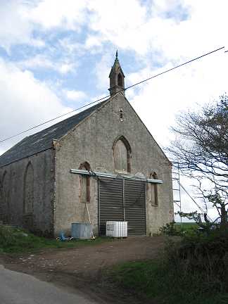
Boddam.
Braemar.
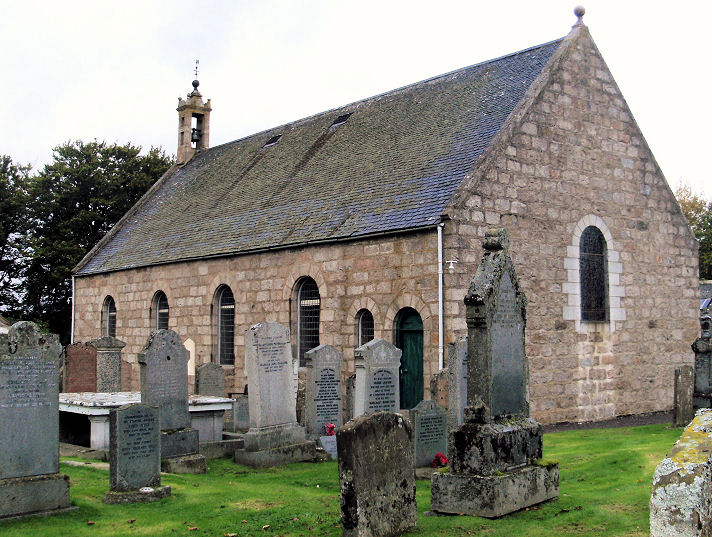
Cabrach, the parish church. NJ 3866 2680. ©
Susan Sinclair. Category
B listed, wherein it's dated to 1786. There was evidently an earlier church,
as the present church has a memorial dated 1771. The earlier church is dated
here to 1580.
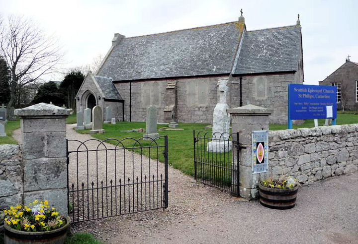
Catterline, St. Philip (Episcopal), dated
here to 1848. Catterline Community Church also meets here (link).
NO 8689 7887. © Derek Robertson. Category
C listed. The site of the demolished Parish Church
is indicated on O.S. maps at NO 8677 7849. According to its
Genuki entry, it had been demolished by 1866. It stood within the
graveyard seen by Streetview
in 2021.
Cluny, Church of Scotland (near Cluny Castle, Monymusk).
It's dated
here to 1789. NJ 6849 1244. © John Mackie.
Link. The medieval
Parish Church (St. Machar) stood nearby at NJ 6847
1257. This
source says it was demolished in 1789. It stood somewhere within the
graveyard seen here by
Streetview in 2021.
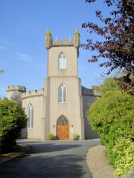
Corgarff, Church of Scotland (1834). NJ 2793 0832. © John Mackie (2011). Link.
Category B listed.
Coull, Church of Scotland. This
source dates it to the late 18th century, on the site of an earlier
church or churches. NJ 5119
0247. © John Mackie (2010).
Category B listed.
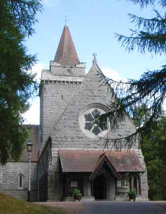
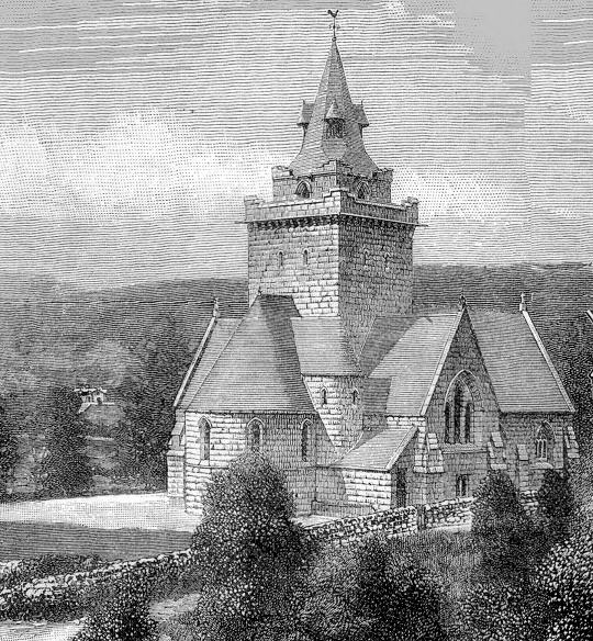
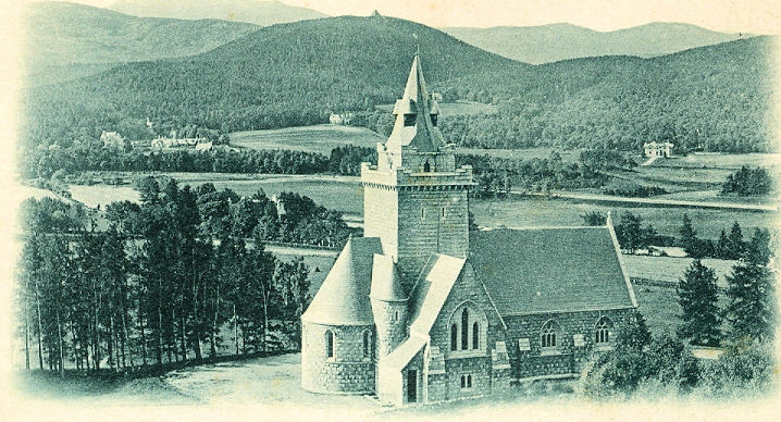
Crathie, Church of Scotland. NO
2654 9493. © Bill
McKenzie. An old engraving (1800's),
from Colin Waters' Collection. An old postcard view from Reg Dosell's Collection.
Two further views - 1, 2, both © Alan Blacklock.
Link. Category
B listed, wherein it's dated to 1893-5.
Crimond, the Parish Church (1812) on Logie Avenue.
NK 0537 5677. © Jim Parker (2013). This
source mentions that the clock has 61 minutes, though whether by accident
or design it doesn't say. Link.
Cruden Bay, St. James the Less
(1842-3, Scottish Episcopal) on Chapel Hill, about 1½ miles W.S.W. of
the village, at NK 0685 3564. © Jim Parker (2013).
Link1.
Link2. Category
B listed. Congregational Church on Main Street, also known as Port Errol Congregational Church, was opened in 1884.
NK 0926 3624. © Jim Parker (2013).
Link1.
Link2, which suggests it may be
closed. Nothing remains above ground of the medieval St. Olaf (or St
Olaus) which stood at NK 0884 3628. The site hasn't been seen by
Streetview.
Link. It was succeeded by another church at Bishop's Bridge, about
1¼ miles W.N.W. at NK 0706 3657. The second and current church on that
site (Cruden Parish Church, 1776 with later additions) was seen by
Streetview in 2008.
Link. Category
B listed. The churchyard wall and gates are listed separately as
grade C.
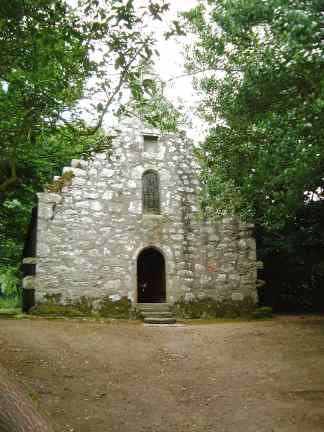
Drum, the chapel at
Drum Castle. It's dated
here to the 16th century, on the site of an earlier chapel. NJ 7958
0046. © Bill McKenzie. Category
B listed.
Ellon.
Fordyce, the
parish church, which closed in around 2011 (source, which also dates it to
1804. NJ 5541 6365.
Category B listed. It was successor to
St. Talorgan, which survives
in part, and stands near the centre of the village in a graveyard, at NJ
5558 6386.
Link.
Both © Martin Briscoe. Old O.S. maps show a United Free
Church towards the eastern end of the village, at NJ 5568 6376.
Now converted to secular use,
Streetview saw it in
2021. It's dated
here to 1844-1960's.
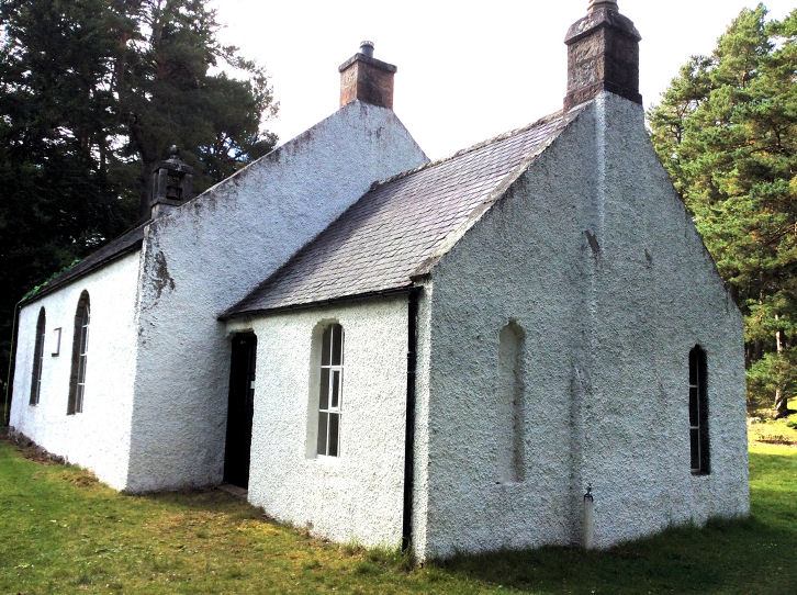
Fraserburgh.
Gamrie, the former
United Free Church of Scotland. NJ 8065 6315. © Martin Briscoe. The
Parish Church stands less than a mile to
the W.S.W. at NJ 7931 6270. Seen by
Streetview in 2021,
it's dated
here to 1829-30.
Link. Category
B listed.
Its
predecessor was St. John, for which see
Gardenstown, below.
Gardenstown, Church of Scotland,
dated
here to 1889. NJ 8008 6480. © Rev. Donald N. Martin.
Link. St. John, at NJ 7911 6445, was the predecessor of
Gamrie Parish Church, for which see Gamrie, above. Photos of the ruins can be
seen
here, where it says it was abandoned in 1830.
Link. A Gospel Hall stands on Church
Road, at NJ 8000 6474, seen by
Streetview in 2021.
Garvock, the Parish Church. It's
dated
here to 1778, on the site of two earlier churches. NO 7446 7048. © Derek
Robertson.
Link. Category
B listed.
Glengairn, Glengairn Parish
Church (CoS).
NJ 2997 0113. © Bill Henderson (2017).
Link. Category
B listed.
Insch, the ruins of
St. Drostan (as seen by Streetview in 2008), predecessor of Auchterless
(for which see Auchterless, above) and Insch
parish churches. Better photos can be
seen in the appended links. NJ 6333 2814.
Link1.
Link2.
Category C listed.
The Parish Church (CoS)
on Western Road, as seen by Streetview in 2021. This
source dates it to 1881-3. NJ 6311 2821. The
church hall
(Streetview 2021) stands opposite, and could be mistaken for a church.
St. Drostan (Episcopal, 1894,
source) is on Commerce Street, and was seen by
Streetview in 2021.
Category C listed.
A Masonic Lodge on High Street is a former
Congregational Chapel. Seen by
Streetview in 2021,
it's dated
here to 1874 (or possibly a few years earlier). NJ 6333 2818. The
fire station
(Streetview 2021) on High Street stands on the site of a
Free Church. It's dated
here to 1852, with a temporary predecessor of 1843. NJ 6332 2806.
Inverboyndie, the ruins of St. Brandon,
aka Old Kirk of Boyndie. NJ 6665 6452. © Martin
Briscoe.
Link.
Keig, Church of Scotland. NJ 6114 1929. © John Mackie.
Link dates it to 1834. Category
B listed. The remains of the Old
Parish Church stand about half a mile to the S.E., at NJ 6189
1890. Not seen by Streetview, two (distant) photos can be seen
here, where its dated to the 17th century-1835. Better photos can be
found on its
Category B listing.
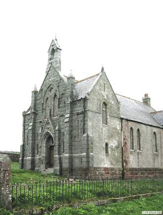
Kildrummy, the Parish Church
(1805). NJ 4723 1758. © Martin Richter (2013).
Link
(numerous photos).
Category A listed.
The remains of its predecessor - St. Bride - stands within the graveyard, at NJ 4724 1755. Some photos can be seen
here. A photo of the font, in the present
church, but transferred from the medieval church, is available
here.
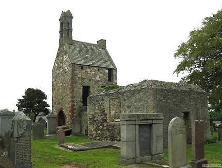
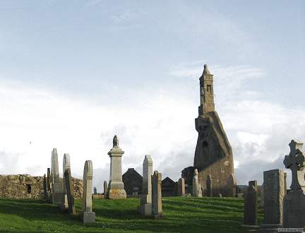
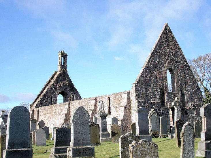
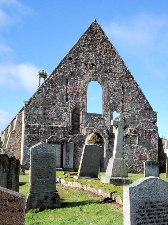
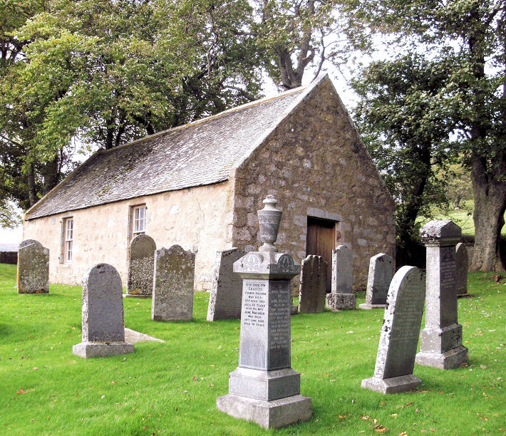
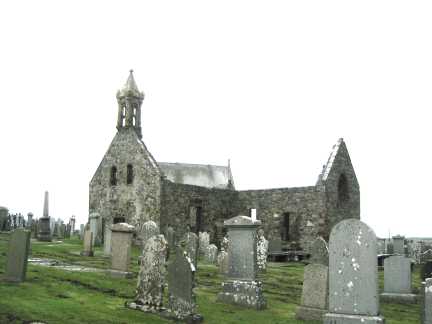
Kincardine O'Neil, the ruined church of St. Mary.
Another view.
NO 5921 9964. Both © Joyce Laing. Link.
The Church of Scotland
on North Deeside Road.
Evidently now closed, it seems to have been active at least until 2011.
NO 5938 9959. © John Mackie. Christ
Church (Scottish Episcopal). NO 5897 9975. © John Mackie.
Link.
Kinneff, the Parish Church,
which stands about a mile N.W. of the old church, at NO 8441 7636. ©
Derek Robertson.
Link, which advises that it was built in 1843 as a Free church, and
closed in 2011. Kinneff Old Church.
NO 8554 7490. © Derek Robertson.
Link.
Kirkto(w)n of Auchterless - see Auchterless,
above.
Kirkton of Tough, Tough Parish
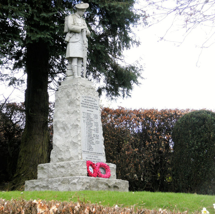
Church. The fine war memorial.
NJ 6149 1297. Both © John Mackie.
Link,
which dates it to 1837-8.
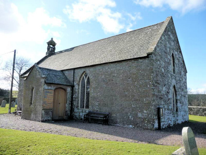
Laurencekirk.
Lumphanan, Church of Scotland.
This
source, which dates it to 1870-1980's, calls it Stothert Memorial
Chapel, originally a Free Church. NJ 5830 0480. © John Mackie (2010).
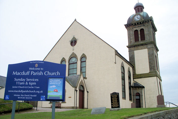
Macduff, the
parish church. NJ 7014 6436. © Martin Briscoe. A more recent view following redecoration. © David Randall (the Minister).
Link. Category
B listed. A former Congregational Church
stands at the junction of High Street and Duff Street, at NJ 7067 6444.
It pre-dates a map of 1904, and was seen by
Streetview in 2021.
Also visible is the spire of the former United
Free Church (now an Arts Centre) on Duff Street and Clergy
Street. A better view
(Streetview 2021). NJ 7061 6449.
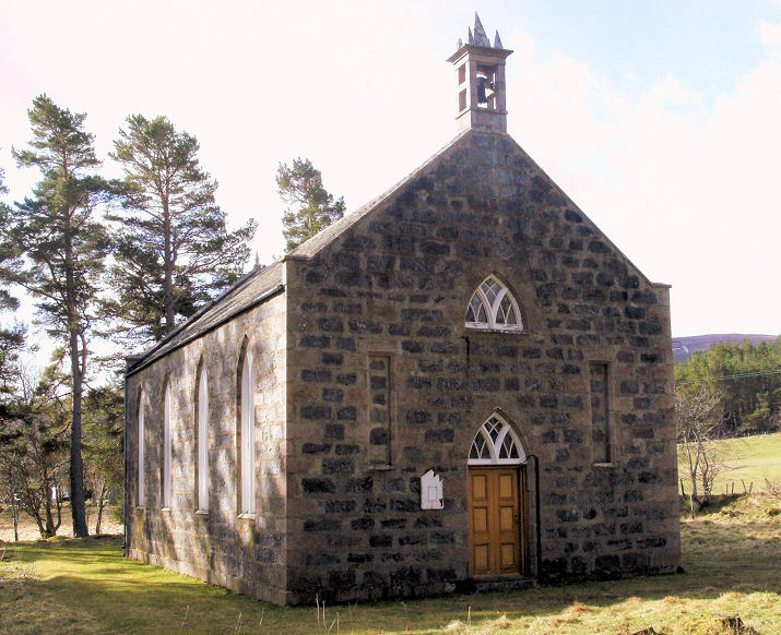
Migvie, Church of Scotland. NJ 4367
0684. © John Mackie (2010).
Link,
which dates it to 1777, and mentions a Pictish predecessor which stood
very close by. This is indicated on large scale O.S. maps immediately to
its south. The source already given says
of the vanished church that "the remains of which comprise a low grass
covered platform". This is visible in a
Streetview from
2022, to the left of the present building.
Monymusk, the parish church. NJ 6849 1525. ©
John Mackie. Link1.
Link2. A map of 1869 labels an Episcopalian
Chapel at the southern end of the village. See this
source for its interesting history. It was seen by
Streetview in 2021.
NJ 6844 1517. About 1¼ miles due north of the village O.S. maps mark a
Chapel (Site of), at NJ 6848 1724. This
source (which has photos of the site), names it as
St. Finan's Chapel, and says that there are
turf-covered low walls still visible. The site isn't visible on
Streetview because of trees.
New Aberdour,
St. Drostan, is dated
here to 1818. NJ 8849 6339. © Martin Briscoe.
Link.
Category B listed. Its predecessor, also St.
Drostan, stands near the coast, just over ½ a mile to the north,
at NJ 8843 6440.
Link. Oddly, it appears not to be listed. Older O.S. maps mark a
Free/United Free Church on High Street, at
NJ 8846 6312. It pre-dates a map of 1874, and had been closed or
demolished by 1955. The housing built on its site was seen by
Streetview in 2022.
New Deer, St. Kane. NJ 8861
4692. © Joyce Laing. Link1.
Link2. Further north along Main Street is a former
Church, at NJ 8834 4722. None of the
available on-line maps indicate its denomination.
Streetview saw it in
2022.
Link. Another unidentified former Church
stands on Main Street at NJ 8850 4703. It was seen by
Streetview in 2021.
Peathill, Pitsligo Old Kirk. NJ 9339
6623. © Martin Briscoe.
Link. Just a few yards to its north-east is the former parish
church, Hill Kirk of Rosehearty, seen
here by Streetview
in 2016. It's dated
here to 1890-1997. NJ 9343 6628.
Pennan, Auchmedden Church, dated
here to 1884. Older maps label it as Mission Hall. NJ 8450
6515. © Martin Briscoe.
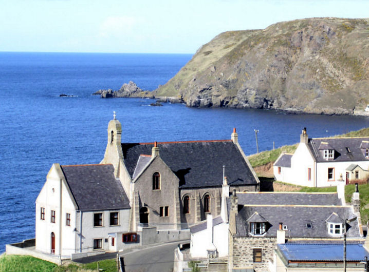
Peterhead.
Portsoy, St. John the Baptist (Episcopal)
on Seafield Terrace and Hill Street. NJ 5878 6594. © Martin Briscoe. Category
B listed. Church of
Scotland on Shillinghill and Seafield Street.
Although this
source says it is a former church, the appended link says
it's still active. NJ 5893 6597. © Martin Briscoe.
Link.
Portsoy Parish Church on
Seafield Terrace. NJ 5869 6590. © Martin
Briscoe. Labelled on older maps as West U.F. Church, this
link (which dates it to a re-build in 1870) says it is the parish
church, but Google Streetmap says it is permanently closed. Older maps
also show East U.F. Church, on High Street,
at NJ 5882 6592. Maps show it was built between 1866 and 1904.
Streetview saw it in
2008. Kingdom Hall of Jehovah's Witnesses
on Park Road, as seen by Streetview in 2021. NJ 5841 6614. The former
The Annunciation (R.C.) off Aird Street.
Barely visible on
Streetview, photos can be seen
here where it's dated to 1829. NJ 5901 6564. Category
B listed.
Rathen, a
distant view of Rathen West Parish Church (CoS, 1867-70). NK 0003 6091. © Jim Parker (2013).
Link.
The Old Parish Church stands a little way
to the north-east, at NK 0012 6096. Large scale O.S. maps label it as
St. Ethernan. It was seen by
Streetview in 2021.
Stonehaven, Fetteresso Church (CoS), on Bath Street.
This
source dates it to 1808-10. NO 8690 8638. © Noreen Drinkwater. Link.
The former St. John (CoS,
1859) on Evan Street, now in use as a library. It is shown on maps of
various dates as follows - 1864, St. John's Church (Chapel of Ease);
1924, St. John's Church; 1967, Fetteresso Church Hall; 1976-7, unnamed;
1990, Library. It ceased to be used as a Church Hall when the new
Fetteresso Church Hall was opened in 1970. NO 8719 8587. © Martin
Richter (2013).
Strathdon, Church of Scotland
(1853). NJ 3552 1275. © John Mackie (2010).
Link.
Category B listed.
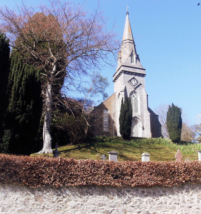
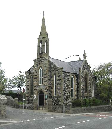
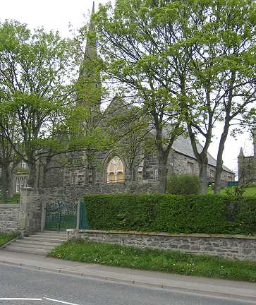
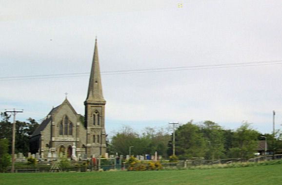
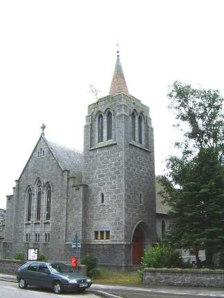
Tarland, St. Moluag (CoS).
Its
category B listing dates it to 1869, with spire added in 1889.NJ 4845 0467. © John Mackie (2010).
Link. Old O.S. maps show a U.F. Church on Burnside Road at NJ 4771
0436. Pre-dating a map of 1867 (where it's labelled as a Free Church),
it survived at least into the 1950's. Its site (the bungalow with the
white car) was seen by
Streetview in 2022.
Tarves, Church of Scotland. NJ
8690 3119. © Joyce Laing. Link1.
Link2. Category
B listed - dates it to 1798.
Torphins, the former South
Church (originally United Free) on Craigour Road. NJ 6237 0170. © Bill
McKenzie. Since Bill took his photo, the church has been converted into a
Scotmid Co-op.
Link, dates it to 1905. Mid
Deeside Church (CoS) on Church Road. NJ 6258 0210. © John
Mackie (2010). Link1.
Link2 dates it to 1874-5. The very brief Category
B listing.
Tough - see Kirkton of Tough, above.
|
|