The Churches of Britain and Ireland
|
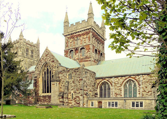
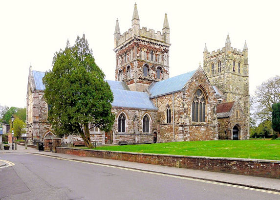
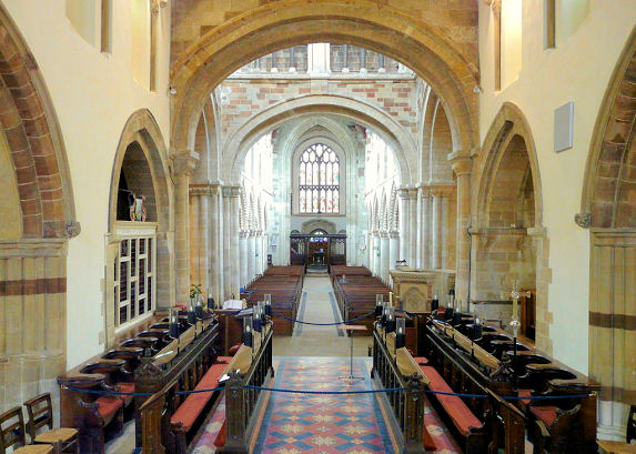
Wimborne Minster, Dorset Wimborne Minster on Wikipedia.
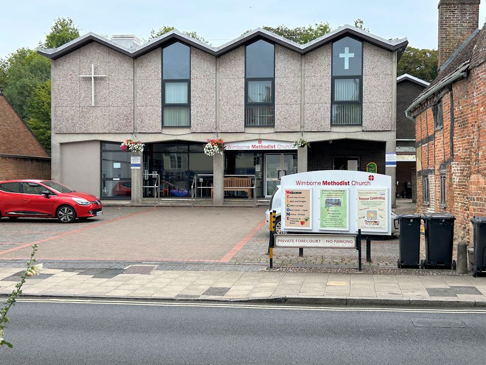
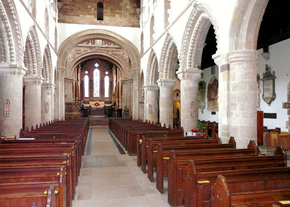
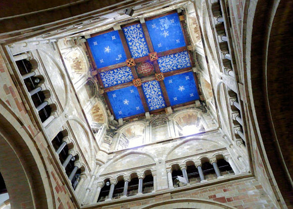
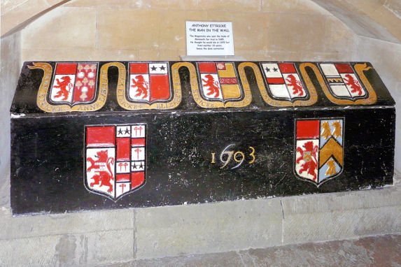
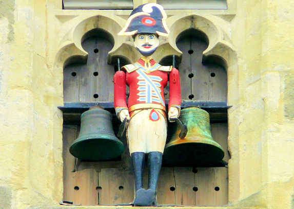
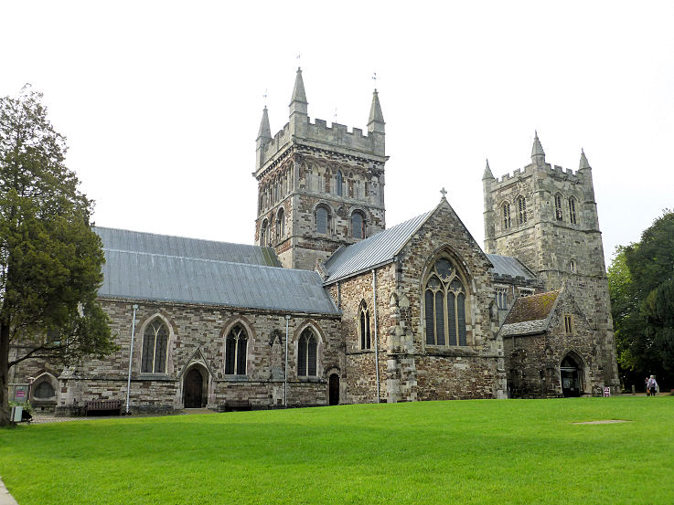
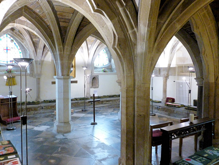
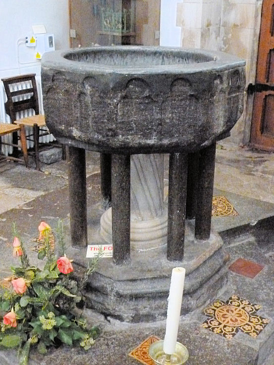
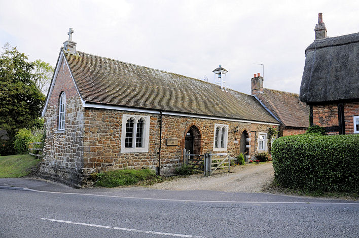
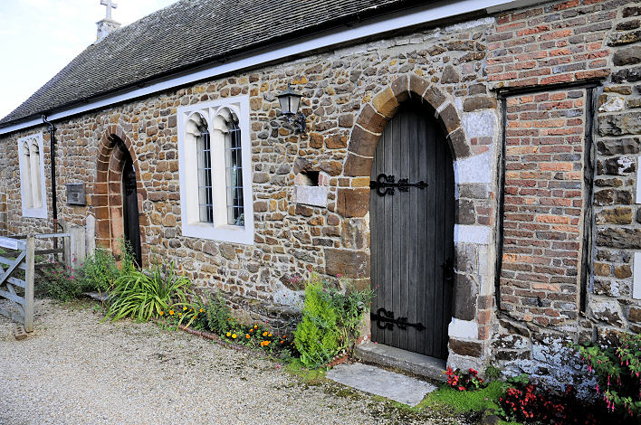
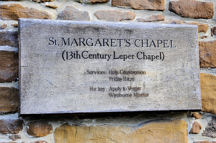
Elim Pentecostal Church on Leigh Road. It was seen by Streetview in 2021. SZ 0155 9983. Link. Good News Church meets at Queen Elizabeth's School on Blandford Road. It can be seen here on a Streetview of 2011. ST 9978 0074. Link. The Methodist Church stands on King Street. Old maps show a Wesleyan Chapel on the same site. SU 0098 9986. The church website history page, which has photos of the old chapel, dates the Wesleyan Chapel to 1869-1966, and the present building to 1967. © Karel Kuča (2025). The Minster is dedicated to St. Cuthburga. SZ 0094 9993. From an old postcard in Steve Bulman's Collection. The following are all © Roger Hopkins - modern views - 1, 2, interior views - 1, 2, the blue-painted roof in the tower, the tomb of Magistrate Anthony Ettricke, and the bell-ringer. Another view, another of the interior, and the font, all © Peter Morgan (2017). Link. Grade I listed. The cemetery on Cemetery Road has two Mortuary Chapels. The more westerly of the two is labelled on old maps as Church of England (SU 0049 0050), the other as Nonconformist (SU 0053 0052). Both can be seen on a Streetview (looking north) from 2011. St. Catherine (R.C., 1933) on Leigh Road, as seen by Streetview in 2021. Link, and history page. St. John stands on Leigh Road and Legg Lane, and was seen by Streetview in 2018. SZ 0162 9983. Link. St. Margaret's Chapel was originally the chapel of a leper hospital. Its grade II* listing calls it the Chapel of St. Margaret and St. Anthony. Another view, and a plaque. SU 0041 0036. All © Karel Kuča (2011). Link. The town U.R.C. is on Chapel Lane, and was seen by Streetview in 2009. The church website dates it to 1846, on the site of earlier chapels. Older maps label it as Congregational. SU 0092 0039. Grade II listed.
|
||
03 June 2006
© Steve Bulman