The Churches of Britain and Ireland
|
Wigtown, Dumfries & Galloway
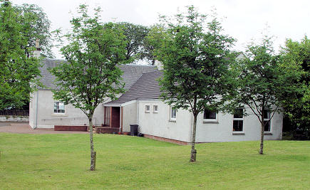
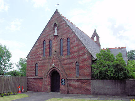
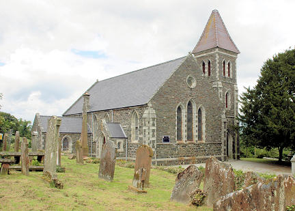
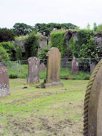
Church of the Sacred Heart (R.C.) on South Main Street. NX 4340 5530. © Steve Bulman. Link. A Dominican Friary is known to have stood in the town. O.S. maps show it at NX 4360 5546, south of the parish church. If this is accurate, it stood somewhere on the grass seen in a Streetview from 2021, but see its Canmore entry for further discussions. A Free Church shows on older O.S. maps on Harbour Road, at NX 4353 5524. It's dated here to 1843. It hasn't survived - it's site was seen by Streetview in 2021. The Parish Church. NX 4358 5553. © Judith Anderson. Link1. The history page dates it to the 1850's. A pdf is also useful, mentioning other churches too. Link2. Category B listed, as is the churchyard. Next to the present church are the well-vegetated ruins of the Old Parish Church. NX 4355 5551. © Steve Bulman. Another view, © Alan Marsden (2024). Category B listed. A Secession Chapel of 1745 (source) used to stand on the Kirkcowan Road at SX 4302 5519. It was later United Presbyterian, and was most recently known as West United Free Church, and it seems to have been active until 1951 at least. Its site was seen by Streetview in 2021. Date of demolition is so far unknown, though it had evidently gone by 2009, as a Streetview from that year shows. Wigtown Quaker Meeting is on The Lorry Park, Chapel Court. It was seen by Streetview from Southfield Lane in 2021. There's also a photo on their website. NX 4345 5526.
|
||
20 October 2024
© Steve Bulman