The Churches of Britain and Ireland
|
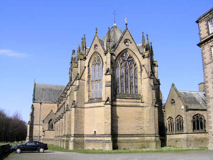
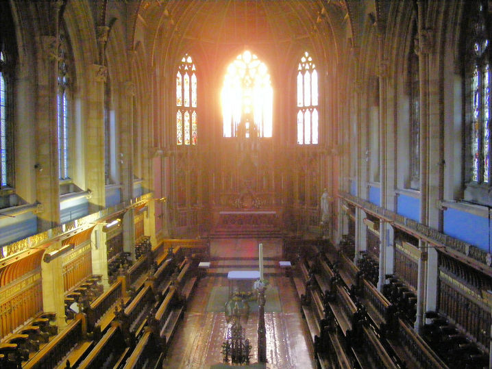
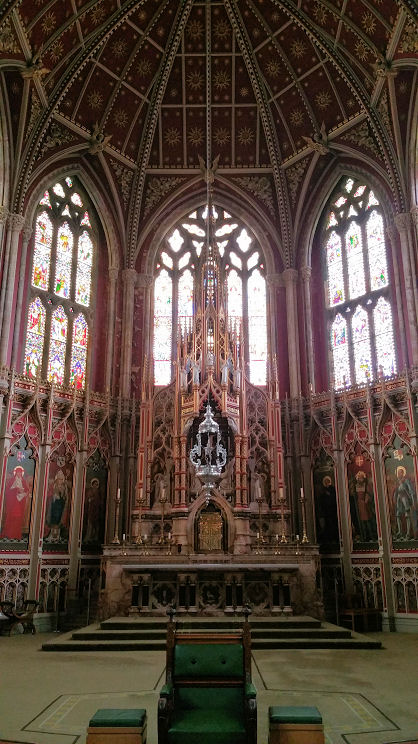
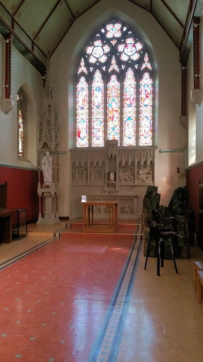
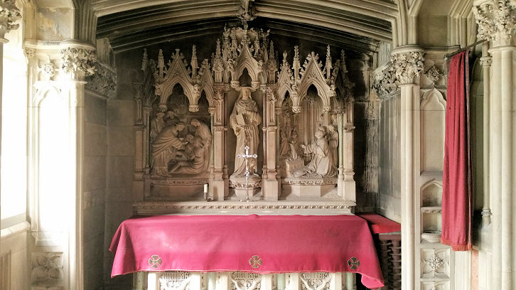
Ushaw Moor, County Durham The Baptist Church (1897) is on Cockhouse Lane, and can be seen on a 2010 Streetview here. NZ 2273 4266. Link. Older O.S. maps show Hare Holme Chapel to the S.W. of the village, at NZ 2158 4264. It was evidently later demolished, as later maps show Chapel (Site of). On-line information about it is scarce, though it is mentioned in a newspaper article here, where its last traces are said to have gone in 1981. The former Methodist Church on Durham Road was originally Primitive Methodist, and is now in residential use. An old photo can be seen here. NZ 2293 4258. © Steve Bruce. St. Cuthbert's Chapel at Ushaw College. Three interior views - 1, 2, 3. The interior of St. Joseph's Chapel, and the interior of the Chapel of St. Charles Borromeo, also at Ushaw College. A large site, a grid ref. of NZ 2185 4370 will serve. All © Mike Forbester. Link. The grade I listing should be consulted for further details of this complex site. St. Joseph is also listed separately as grade II. St. Joseph (R.C.) off Broom Lane is just visible on a Streetview from 2023. It opened in 1931, though the congregation dates from 1909 when they met in a tin tabernacle. More exterior and interior photos are available here. NZ 2309 4262. Link. St. Luke on Cockhouse Lane, as seen here on a 2022 Streetview. Older maps label it as St. Luke's Mission Church. NZ 2256 4273. Facebook. The former Salvation Army hall stands on the east side of Station Road, and the 2010 Streetview is available here. At the time of writing (2020) it was being offered for sale. The Open Free Church on Esh Wood View, as seen by Streetview in 2024. NZ 2299 4235. Link. There was a Wesleyan Chapel, to the west of the town on Cockhouse Lane, at NZ 2218 4283. The site of the building is among the trees visible here on a 2020 Streetview.
|
||
16 March 2025
© Steve Bulman
Contact Details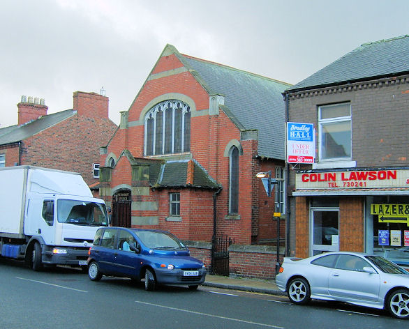