The Churches of Britain and Ireland
|
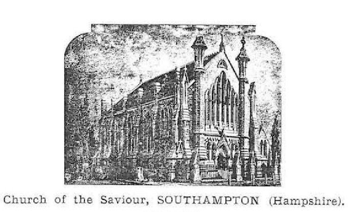
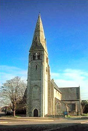
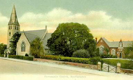
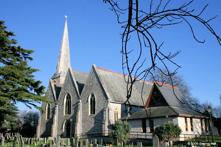
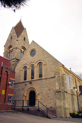
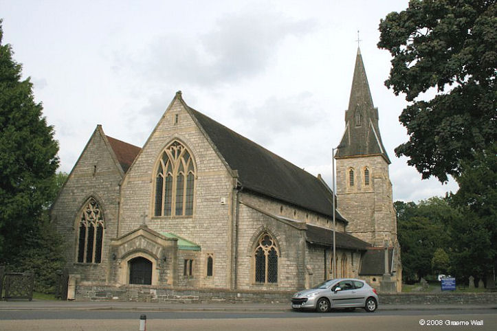
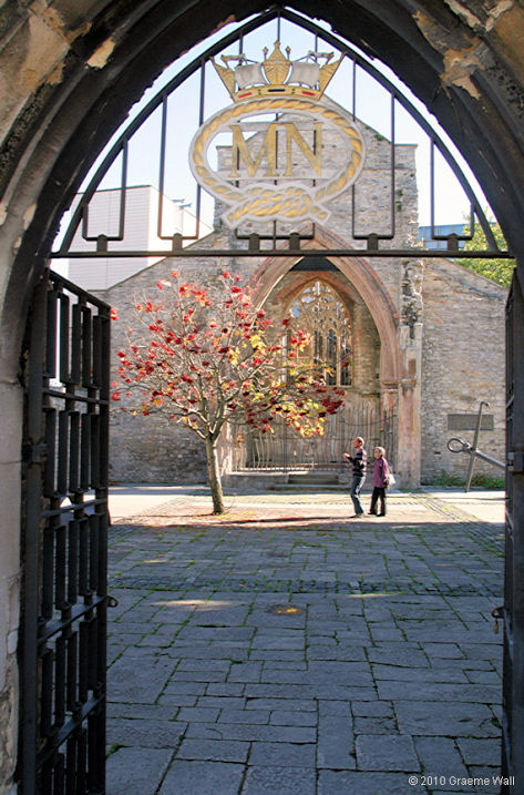
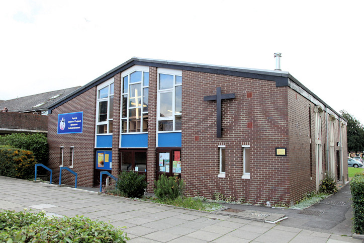
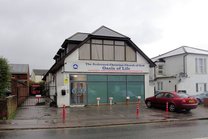
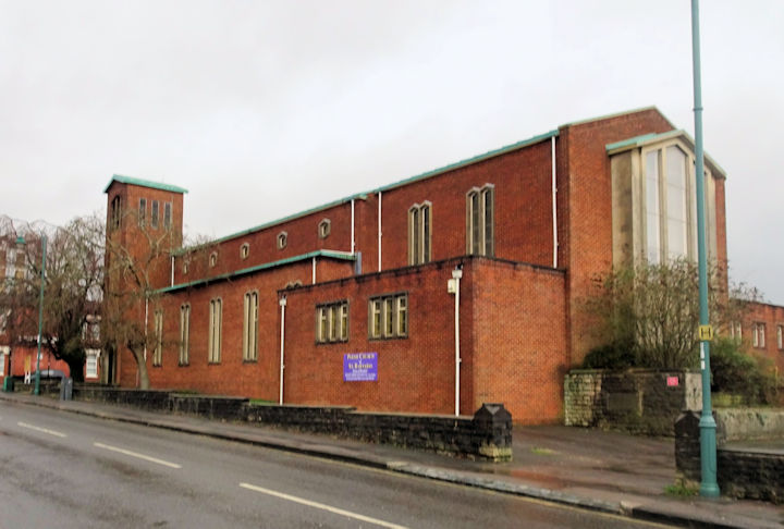
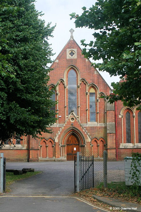
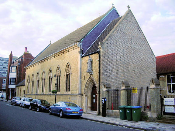
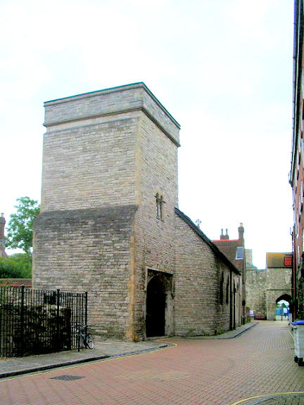
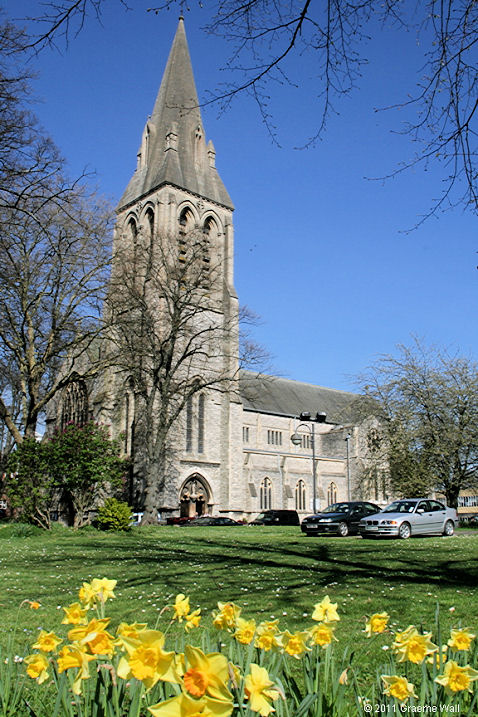
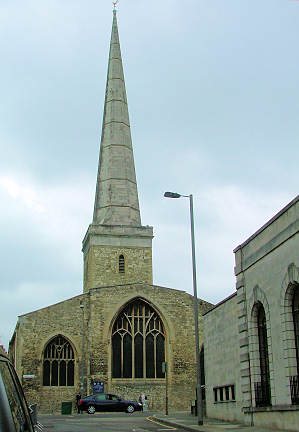
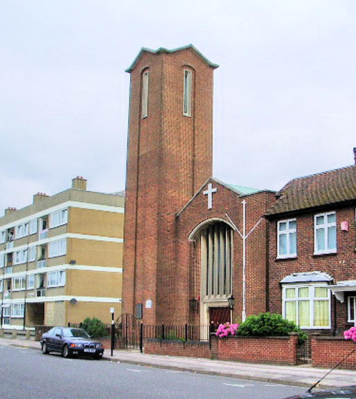
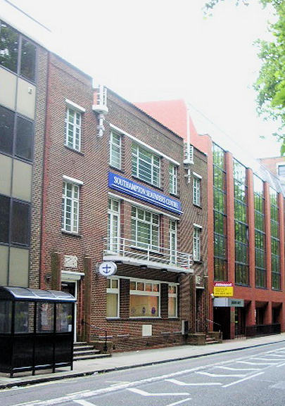
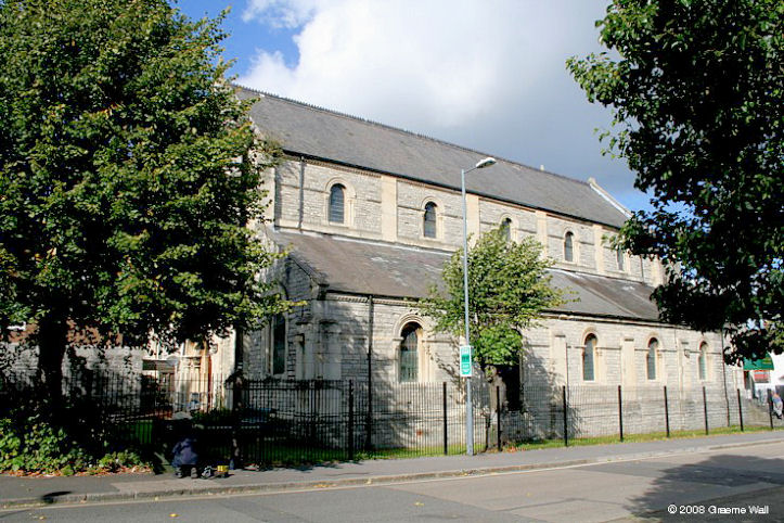
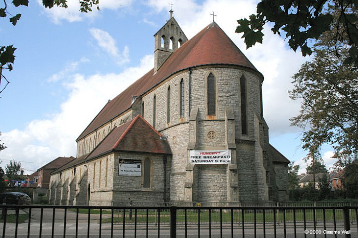
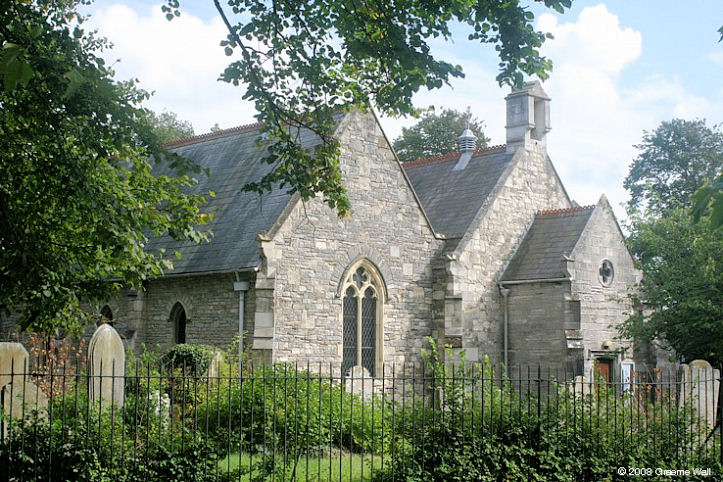
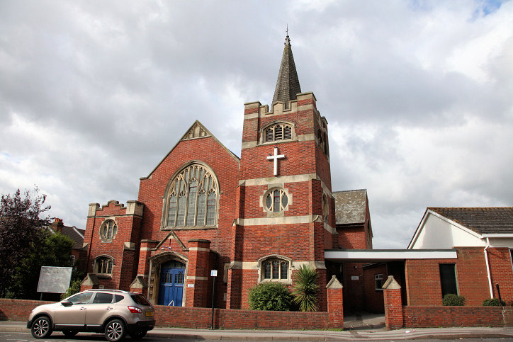
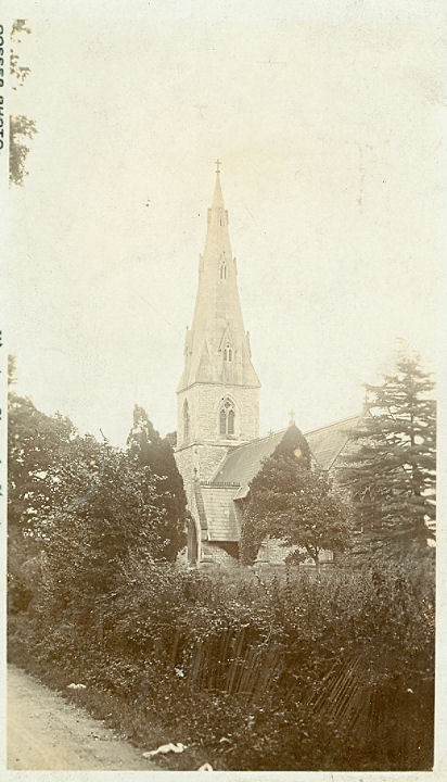
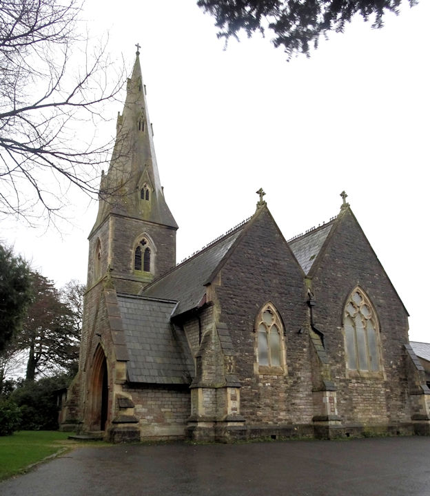
Southampton, Hampshire Churches in Bitterne, Northam, Pear Tree Green, Shirley, Weston, Woolston. Chapel, Hollybrook Cemetery. © Graeme Harvey. Previously in the "Unknown" section, this old postcard from John Bowdler's Collection was identified by Janet Gimber. Chapel at the Royal South Hants Hospital. This building is Grade 2 listed, but deconsecrated, and a decision on its future use is awaited. SU 425 128. © Graeme Wall. Chapel of the Saviour (Unitarian). Some history here, including the building date (1859), and its destruction by bombing in WWII. © unitarian.co.uk. This, and many other old engravings on this website, are reproduced from the downloadable books on the Unitarian Church Headquarters website here. The books are Pictures of Unitarian Churches by Emily Sharpe (1901) and the 1914 edition of Nonconformist Church Architecture by Ronald P. Jones M.A, (Oxon), and the images are reproduced by kind permission of James Barry of Unitarian Church Headquarters. My appreciation also to Mike Berrell for his efforts in this regard. Christ Church at Freemantle. An old postcard showing the church. Both © Donald Coe. Link. Church of the Holy Saviour (Anglican and Methodist), at Bitterne. © Graeme Wall. Link. Former church (now a cafe), on Commercial Road. © Andrew Ross. Janet Gimber advises that this was St. Peter, and that it closed in the 1970's. Link1. Link2. Highfield Church (aka Christchurch, Portswood). SU 426 148. © Graeme Wall. Link. Holy Rood Church. Bombed in the war, it is now dedicated as the Merchant Navy Memorial. SU 420 113. © Graeme Wall (2010). Lord's Hill Church (Baptist, CoE, Methodist and U.R.C.). © Dennis Harper (2011). Redeemed Christian Church of God on Lodge Road. Streetviews show that the church is a recent occupant of the building, which was available for letting in 2020. SU 4218 1347. © Chris Kippin (2023). Link. St. Barnabas on Lodge Road and Rose Road. SU 4213 1347. © Chris Kippin (2023). Link. The About Us page dates it to 1956, when it replaced a church of 1903 which was destroyed in WWII. There's a photo of the old church. St. Denys (CoE). SU 433 141. © Graeme Wall. Link. St. Joseph (R.C.). © Philip Kapp. Link. St. Julien. SU 421 110. © Philip Kapp. St. Mary. SU 425 116. © Graeme Wall (2011). Link. St. Michael. © Mark Summers. Link1. Link2. St. Nicholas (Greek Orthodox). SU 424 113. © Philip Kapp. Southampton Seafarers Centre. SU 423 111. © Philip Kapp. Link. The former Trinity Church at Six Dials, now the Afro-Caribbean Centre. SU 425 123. © Graeme Wall. Wessex Vale Crematorium (2009) on Bubb Lane, West End. SU 488 156. © Richard Roberts (2018). Link.
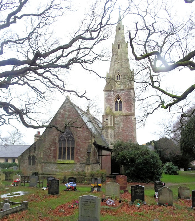
Pear Tree Green
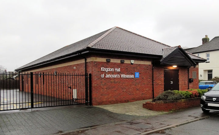
Shirley
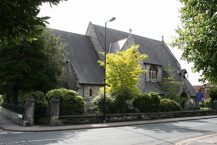
Weston
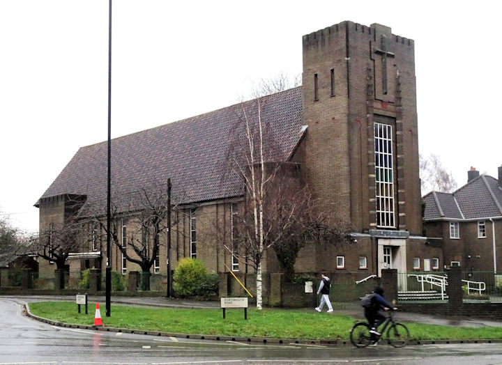
Woolston
|
||
04 January 2024
© Steve Bulman
Contact Details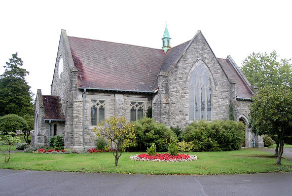