The Churches of Britain and Ireland
|
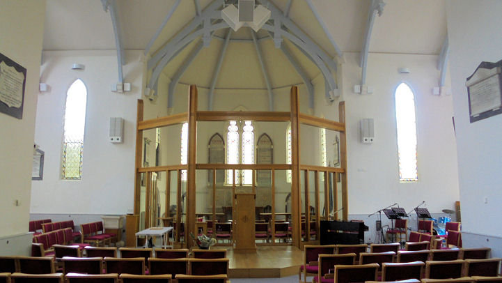
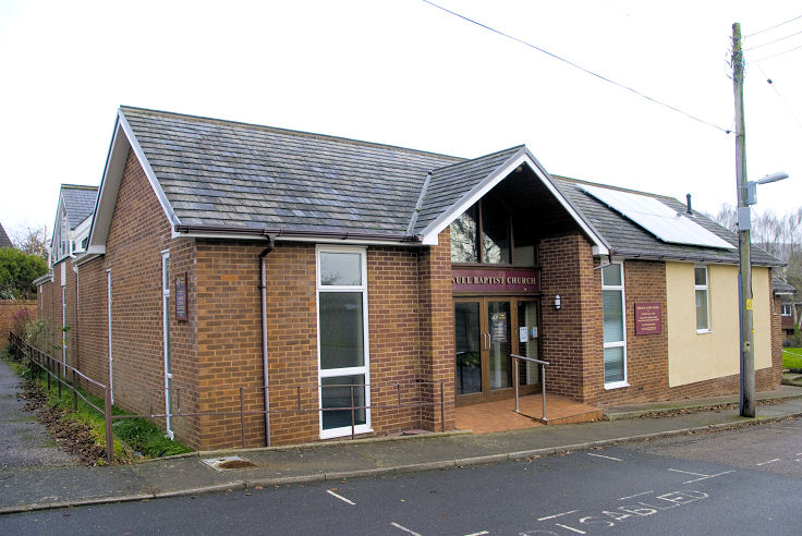
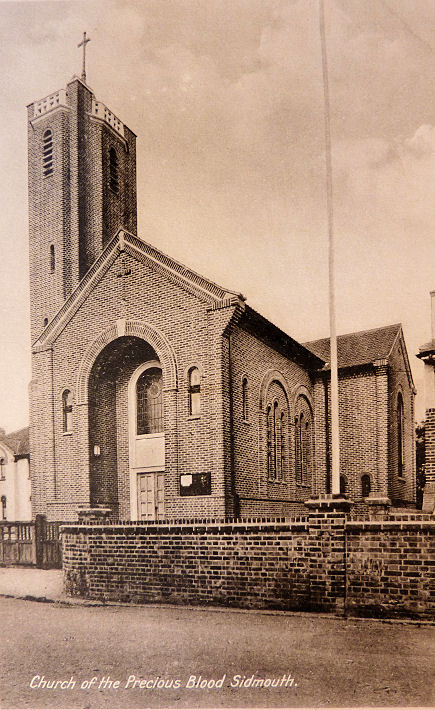
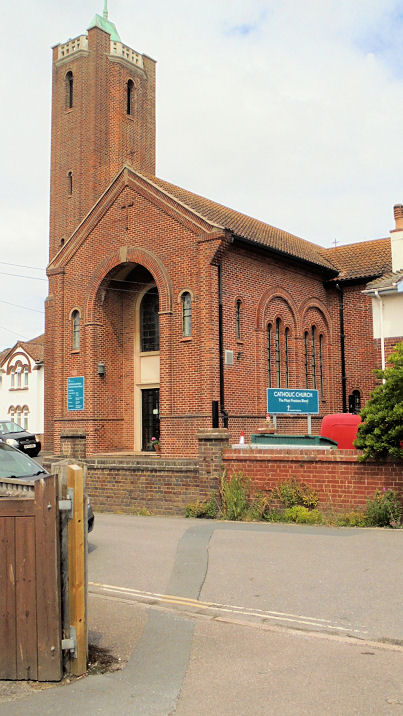
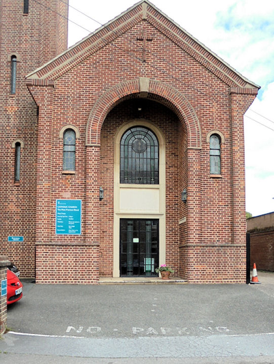
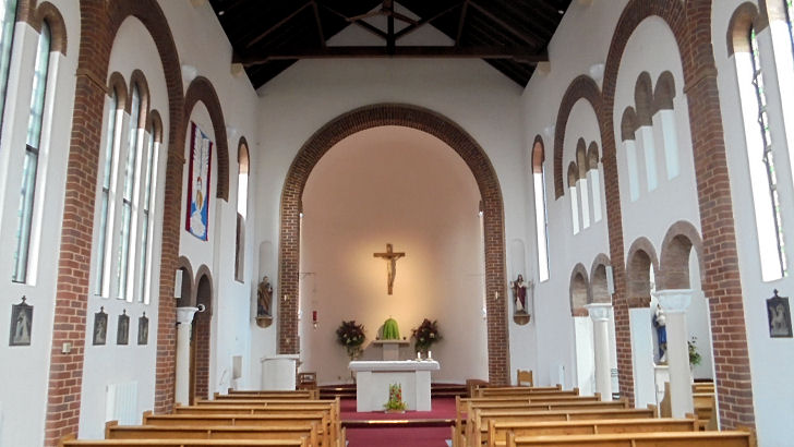
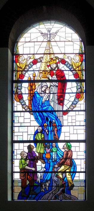
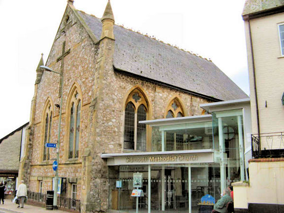
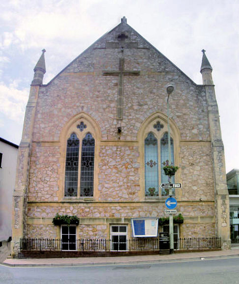
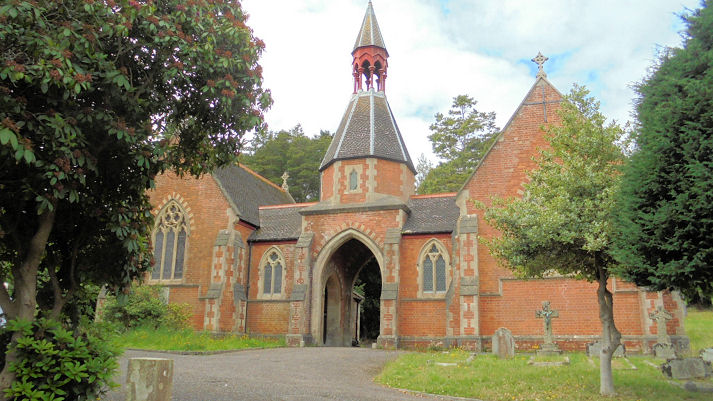
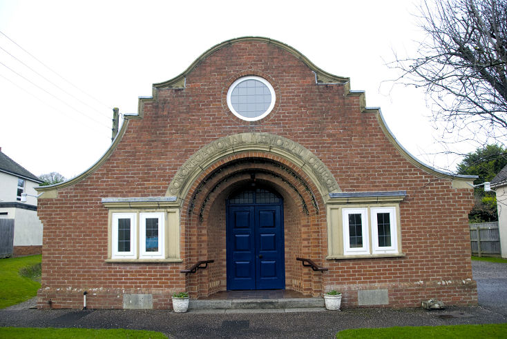
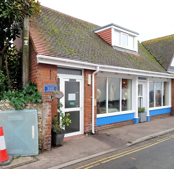
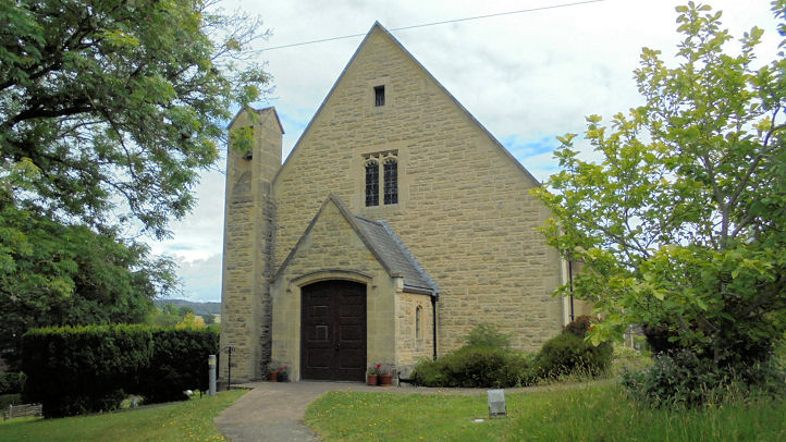
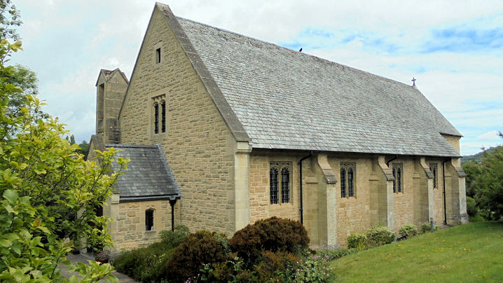
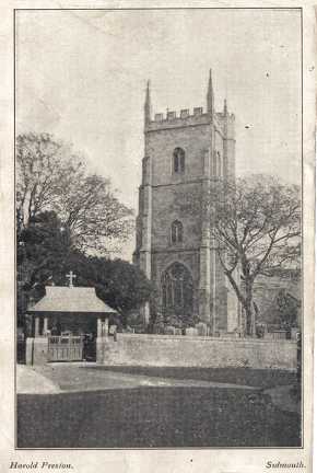
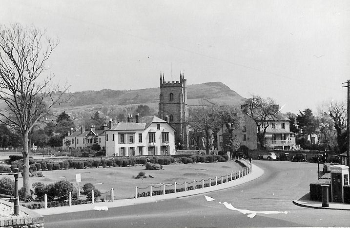
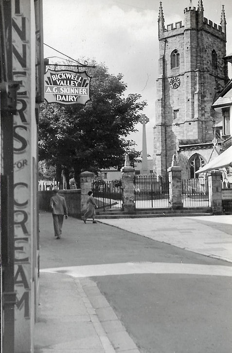
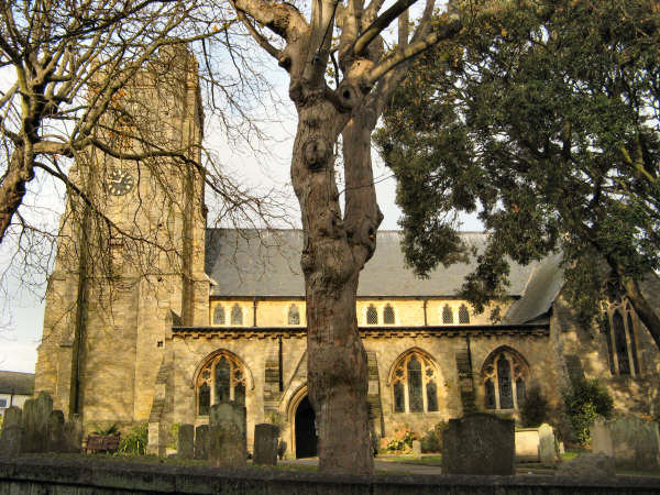
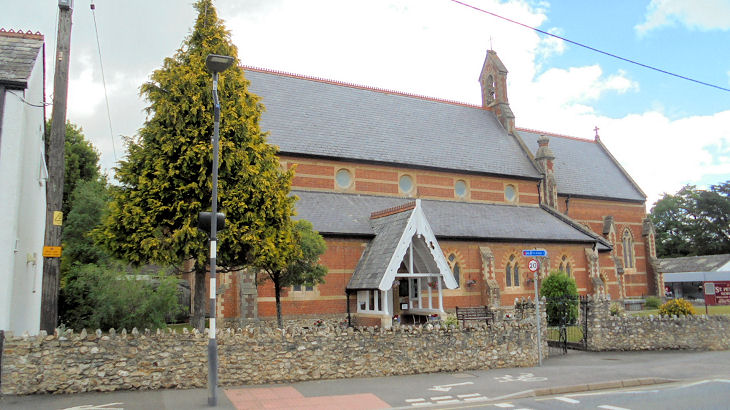
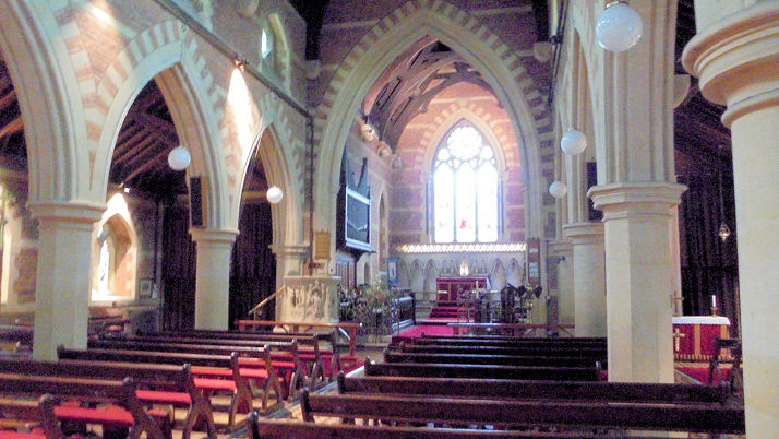
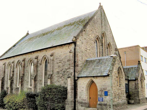
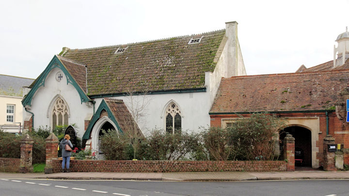
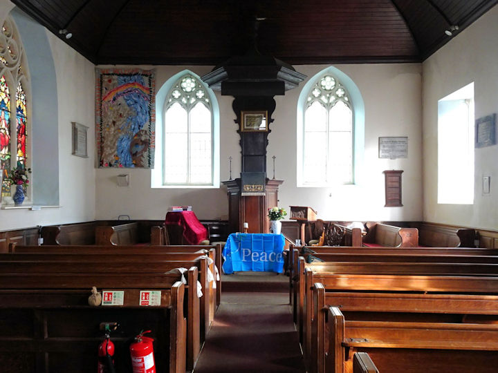
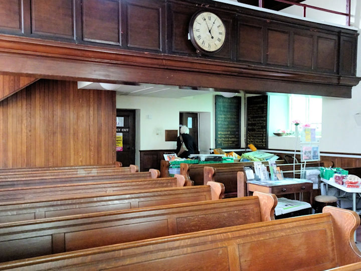
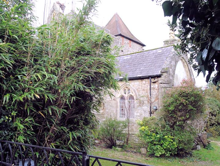
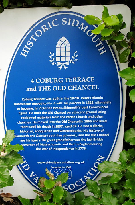
Sidmouth, Devon All Saints on All Saints Road, and its interior. SY 1251 8770. Both © Chris Kippin (2022). Link. Grade II listed, wherein it's dated to the 1830's. Emmanuel Baptist Church on Manstone Lane. SY 1265 8939. © Heath Nickels (2016). The church website advises that the congregation dates from 1932, though the current building is of 1968. The "History" page on the website has a photo of the original church - a converted farm building. Church of the Most Precious Blood (R.C.) on Radway. SY 1256 8780. From an old postcard in Christopher Skottowe's Collection. Two modern views - 1, 2, the interior, and a window, all © Chris Kippin (2022). Link. Methodist Church on Mill Street. SY 1266 8755. © Graeme Harvey. Another view, © Alan Blacklock. Link. The Methodist Church on Church Street, Sidford. © Heath Nickels (2016). Link. Its probable predecessor - a Wesleyan Chapel - stood nearby on Sidford Road at SY 1334 8999. Pre-dating a map of 1889, its site was seen by Streetview in 2008. I've been unable to find a photo. The cemetery off Temple Street has a double Mortuary Chapel. SY 1252 8845. © Chris Kippin (2022). Primley U.R.C. on Primley Road. SY 1287 8915. © Heath Nickels (2016). Link. The Quaker Meeting on Coburg Road. SY 1242 8742. © Chris Kippin (2023). Link. St. Francis of Assisi at Woolbrook. Another view. SY 1218 8909. Both © Chris Kippin (2022). Link. St. Nicholas. SY 1256 8737. From an old postcard in Steve Bulman's Collection. The church is now known as St. Giles and St. Nicholas. Two more old views - 1, 2, both from Christopher Skottowe's Collection, dateable to 1938. A modern view, © Graeme Harvey. Link. Grade II* listed. St. Peter at Sidford, and its interior. SY 1365 9001. Both © Chris Kippin (2022). Link. U.R.C. on Chapel Street (1850) is marked as Congregational on older O.S. maps. SY 1255 8728. © Graeme Harvey. A news item from 2017 shows that the church is now "former", and has perhaps been superseded by the Primley U.R.C. (above). It includes an interior photo. The former Unitarian Chapel, on High Street and All Saints Road. Two views of the interior - 1, 2. SY 1260 8767. All © Chris Kippin (2023). Link. Grade II listed, which dates it as a "very largely mid to late C19" re-build, of a chapel originally of 1710. A mid-20th century map shows a place of worship set back midway between High Street and Heydons Lane at SY 1260 8762. I haven't discovered what it was, and the site isn't visible to Streetview. However, the Old Chancel stands here, and is a curiosity. A blue plaque explains that it was cobbled together from "reclaimed materials" from several churches, as a house. This may be what is shown (wrongly) on the map. © Chris Kippin (2023).
|
||
07 December 2023
© Steve Bulman
Contact Details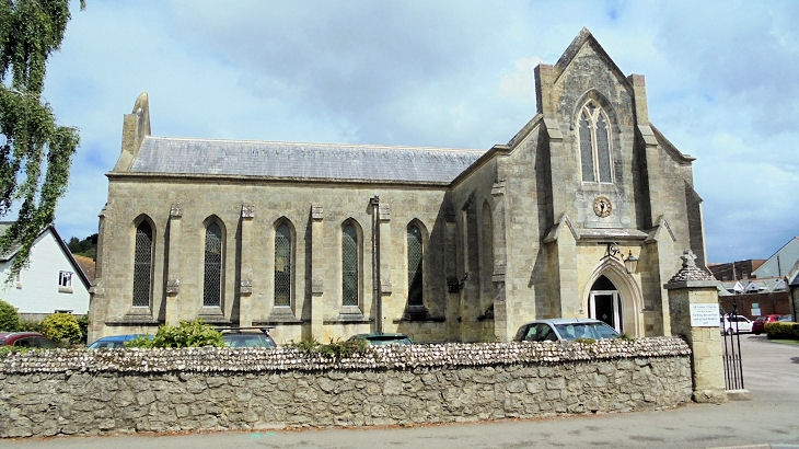