The Churches of Britain and Ireland
|
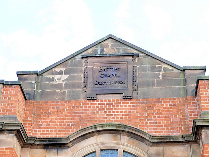
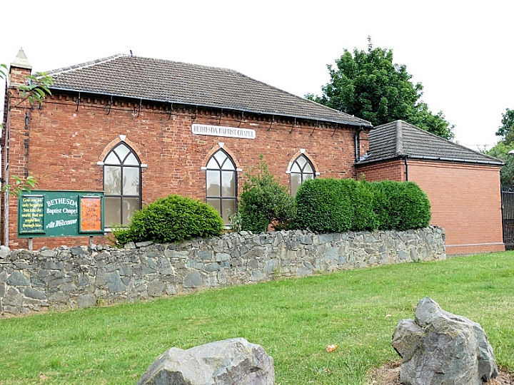
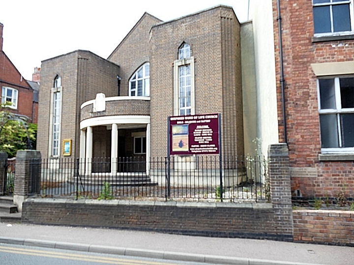
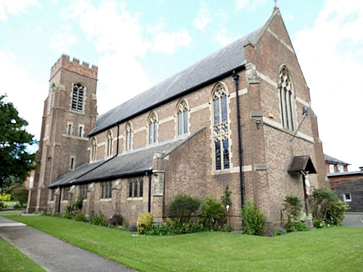
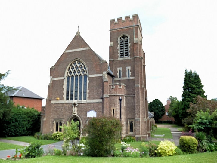
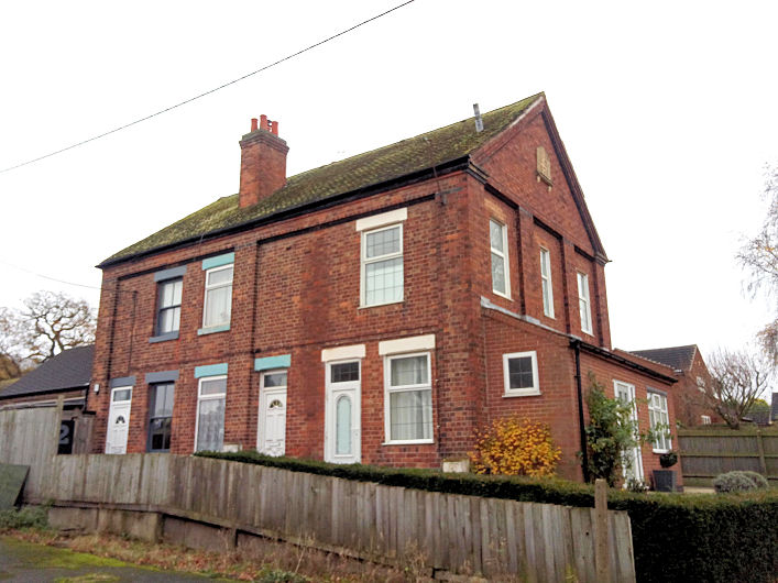
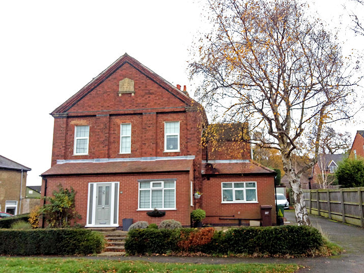
Shepshed, Leicestershire Baptist Church (1833-4) on Charnwood Road. It has a date-stone for 1833. SK 4797 1951. © David Regan (2020). Link. The history pages date the founding of the congregation to 1693. There is a photo of the first Meeting House of 1717 on Chapel Street here. This photo shows that the plot of land was also used for burials, and this can be found labelled on the 25" 1901 O.S. map on the north side of Chapel Lane at SK 4794 2001. A large site, housing has now been built on it, and it can be seen on the left in the 2019 Streetview here. Bethesda Baptist Chapel off Forest Street. SK 4835 1972. © David Regan (2020). Grade II listed. Christchurch Methodist Church stands off Field Street, and can be seen on a 2019 Streetview here. It was originally Wesleyan and dates from 1913. The facade was added in the mid-1960's. Link1. Link2 (pdf). Evangelical Free Church - see Word of Life Church below. The Cemetery on Charnwood Road shows a Mortuary Chapel on O.S. maps, at SK 4756 1873. Is the present structure (Streetview 2021), a sort of pergola, from partial demolition of the chapel, or a replacement on the same site? There is a former Primitive Methodist Chapel (1913-1969) on Charnwood Road. It's now in secular use and can be seen on a 2019 Streetview here. Link. It's predecessor of 1777 stands immediately behind the later chapel. Photos are available here on the My Primitive Methodists website. It may also be just visible on the 2019 Streetview - the building seen over the far end of the present chapel and the adjacent garage. St. Botolph. An old postcard from Judy Flynn's collection, identified by John R. Parker. However, a mystery remains. Judy has compared the image on this link (as provided by John) with Streetview, and has pointed out that the window (presumably East window) looks different. The old image and the postcard (interiors), show three lancets, with two rows of smaller windows above. Streetview/Google Earth (exterior) shows what appears to be the same window, but with five lancets. John R. Parker has advised of this link (p. 289), which says that "The East window, of five lights, has been partially blocked by two of the Phillips monuments,......". Judy Flynn has contacted the church and received a helpful reply, and Brian Curtis has also been researching this church. The following summarises the fruits of their labours. The window was dedicated to a member of the de Lisle family (a vicar). They could only afford to install the central three lights, and had the outer two blocked up on the inside. Monuments were later added to either side of the remaining three lights. The outer lights were still visible as plain glass from the outside. This pdf document describes the church as it was, and has an interior photo showing the monuments in place, with the 3-light window. In more recent years, the monuments erected behind the two outer lights were moved elsewhere in the church, the church re-ordered, and the in-fill removed from the windows, revealing the outer lights again. More modern photos here. Link. Grade I listed. St. Winefride (R.C., 1928) on Charnwood Road. Another view. SK 4783 1930. Link1. Link2. Its predecessor, also St. Winefride (1842), by Pugin, stands on Belton Street and Pick Street. Another view. SK 4781 1979. Link. Grade II listed. All © David Regan (2020). The former Wesleyan Reform Chapel on Iveshead Road. Another view. SK 4743 1798. Both © Peter Smith. Link, which describes it also as a United Methodist Free Church, and dates it to 1879. Word of Life Church, formerly Belton Street Baptist Church (1880). Its website says the church was formed by the uniting of Belton Street Baptist Church and the Evangelical Free Church (1969) in 2013. SK 4790 1980. © David Regan (2020). The Evangelical Free Church on Kirkhill remains in use and can be seen on a 2016 Streetview here.
|
||
04 March 2023
© Steve Bulman
Contact Details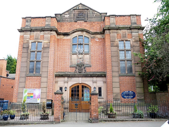