The Churches of Britain and Ireland
|
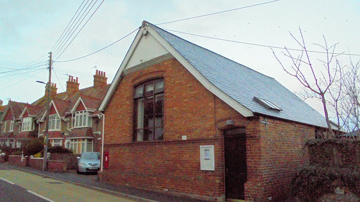
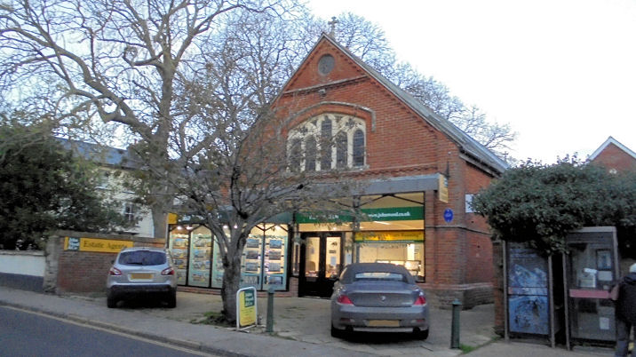
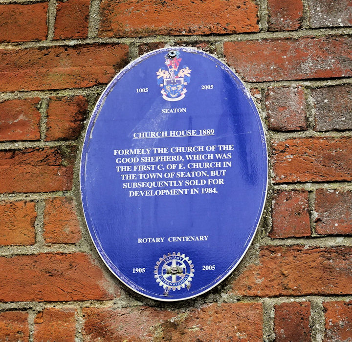
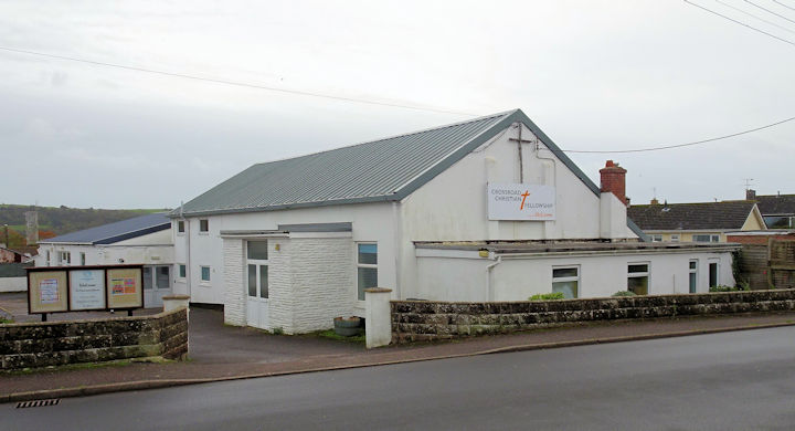
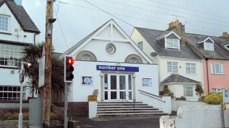
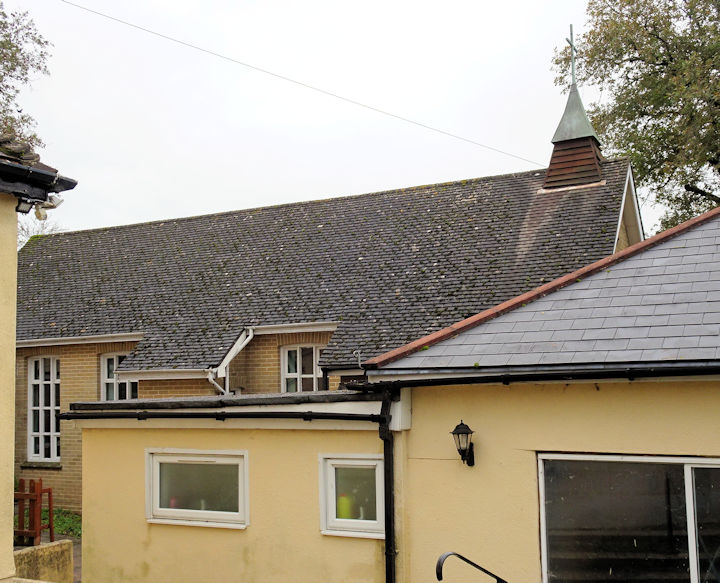
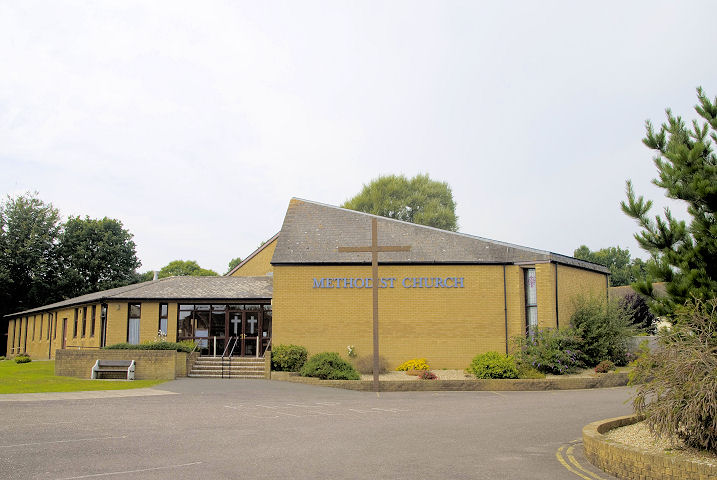
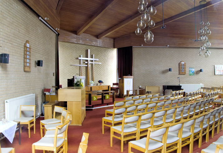
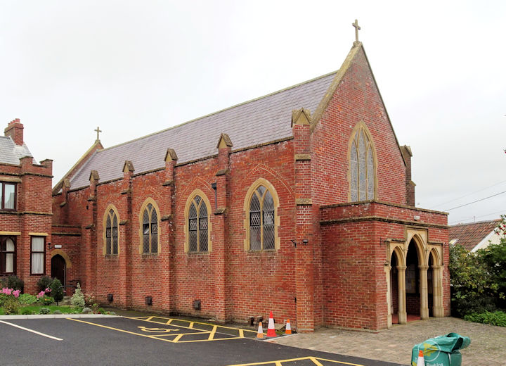
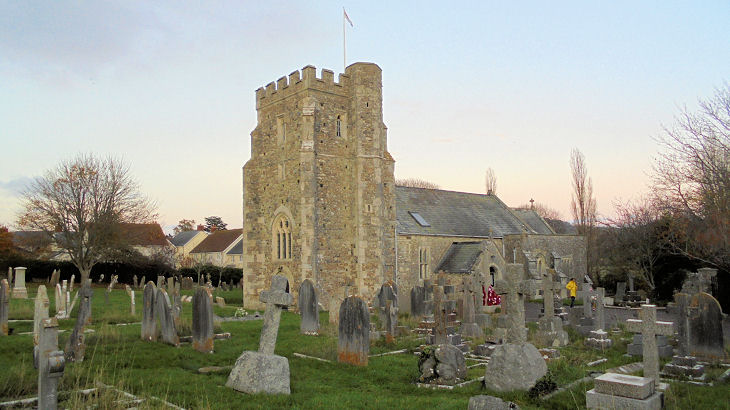
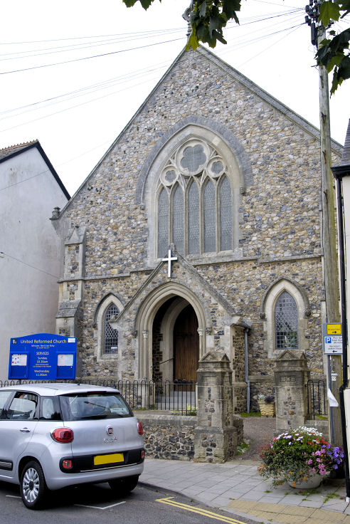
Seaton, Devon Christadelphian Hall on Harepath Road. SY 2438 9030. © Heath Nickels (2016). Another view, © Chris Kippin (2022). It's appearance suggests it may now be closed. Their website confirms this - they are now meeting in Colyford Memorial Hall on Swan Hill Road and Elmwood Gardens, Colyford - seen by Streetview in 2022. Un-named on all available maps, the former Church on Queen Street at SY 2441 9015 was Church of the Good Shepherd (CoE). A blue plaque provides dates of 1889-1984. © Chris Kippin (2022 and 2023). Crossroad Christian Centre on Homer Lane. SY 2415 9087. © Chris Kippin (2023). Link. "Number One" Church on Harepath Road. This Wikipedia page says it was built in 1927 (although it isn't labelled as a place of worship on a map of 1958, revised no later than 1938), and is a former Gospel Hall. SY 2435 9027. © Chris Kippin (2022). Chris Kippin was informed that a building at Harepath House used to be a nunnery. No on-line sources corroborate this, though intriguingly the 1" O.S. map of 1958 has a label for St. Dympna's here (though it isn't marked as a place of worship). More recent O.S. maps do mark a place of worship here. SY 2410 9197. © Chris Kippin (2023). The Methodist Church on Valley view, and its interior. SY 2451 9081. Both © Heath Nickels (2016). Link. St. Augustine (R.C.) on Manor Road. SY 2450 9033. © Chris Kippin (2023). Link. St. Gregory on Colyford Road. SY 2472 9057. © Chris Kippin (2022). Link. Grade I listed. U.R.C. on Cross Street. Older O.S. maps label it as Congregational. SY 2446 9013. © Heath Nickels (2016). Link.
|
||
20 December 2023
© Steve Bulman
Contact Details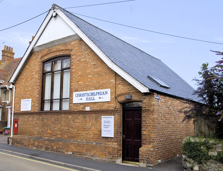