The Churches of Britain and Ireland
|
Mevagissey, Cornwall Mevagissey on Wikipedia.
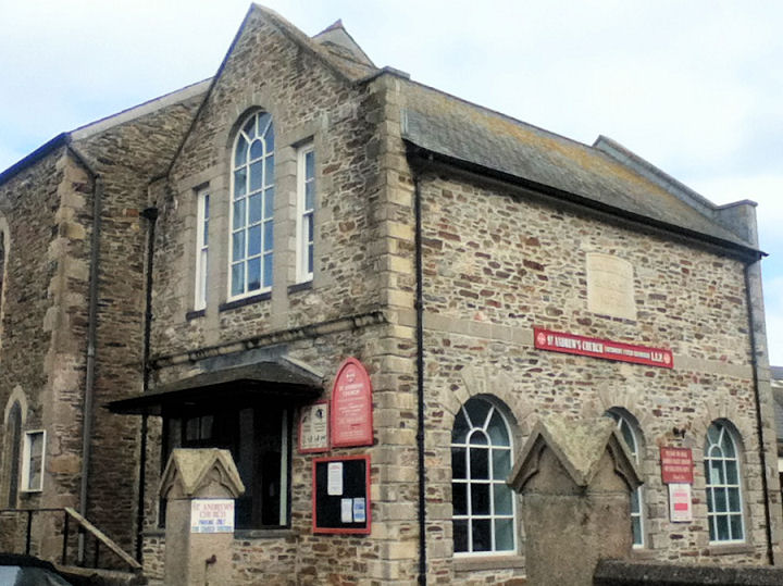
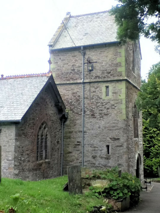
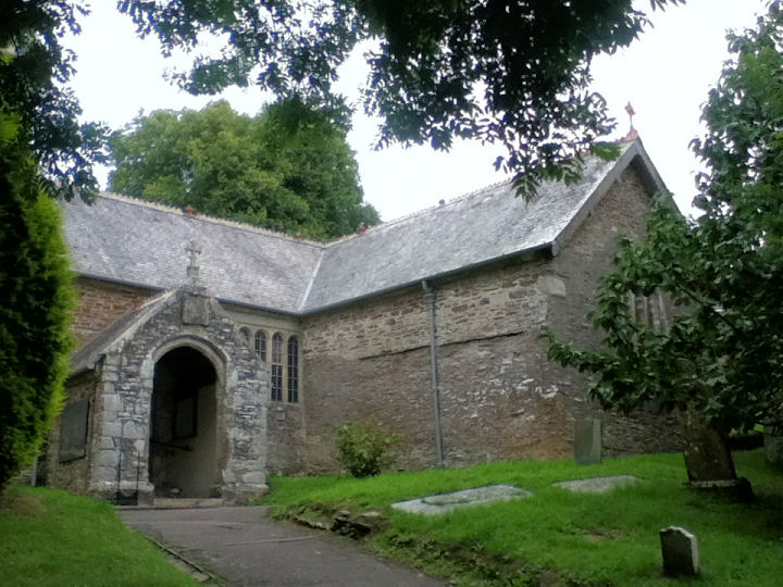
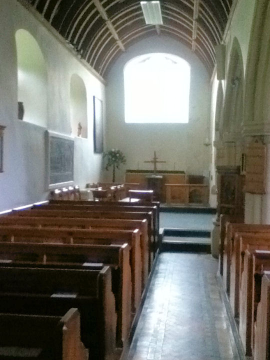
Older O.S. maps show a Meth. Chap. (Free United) off Tregoney Hill at SX 0134 4483. Its site (directly behind the telephone pole) was seen by Streetview in 2023, O.S. maps show a Mortuary Chapel in the cemetery on Church Lane. It was seen by Streetview in 2009. SX 0117 4528. This source records a Primitive Methodist presence in the village in the 19th century. But where the chapel stood isn't known, and my searches on available early O.S. maps haven't borne fruit. An otherwise unidentified Chapel shows on older O.S. maps off Fore Street at SX 0143 4478. It was still showing as active on maps from the 1950's, but it was demolished at some point and a block of flats built on its site (Wesley Court, 2023 Streetview). Howard Richter has advised that this was Wesleyan. See here where it's dated to 1842, closing in 1967. The P.M. Chapel location remains a mystery. St. Andrews Methodist/U.R.C. on Chapel Square was originally a Congregational School, dated 1873. SX 0138 4496. © Paul E. Barnett (2015). Link. St. Peter on Church Lane. Older maps label it as St. Maven and St. Issi. Another view, and its interior. SX 0126 4524. All © Paul E. Barnett (2015). Link. Grade II* listed.
|
||
29 July 2025
© Steve Bulman
Contact Details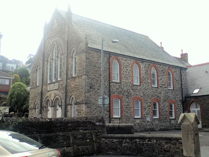