The Churches of Britain and Ireland
| Mablethorpe, Lincolnshire Mablethorpe on Wikipedia.
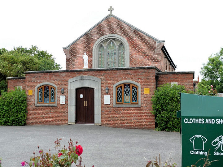
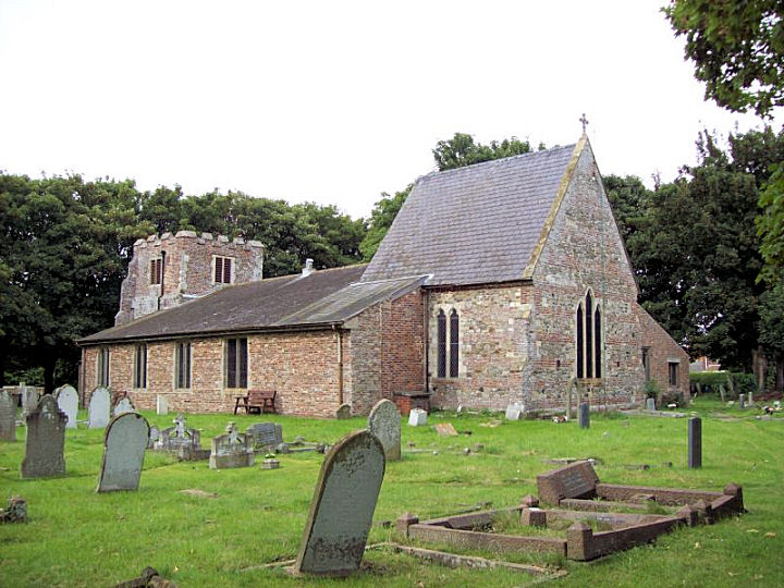
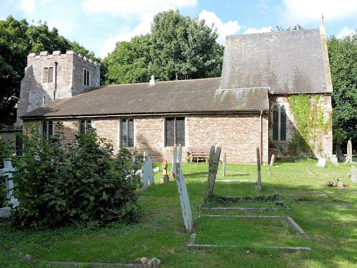
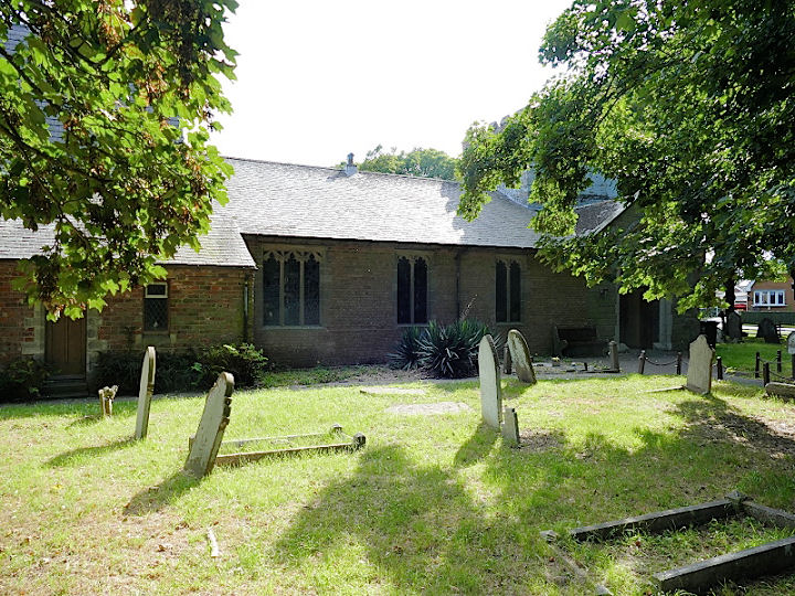
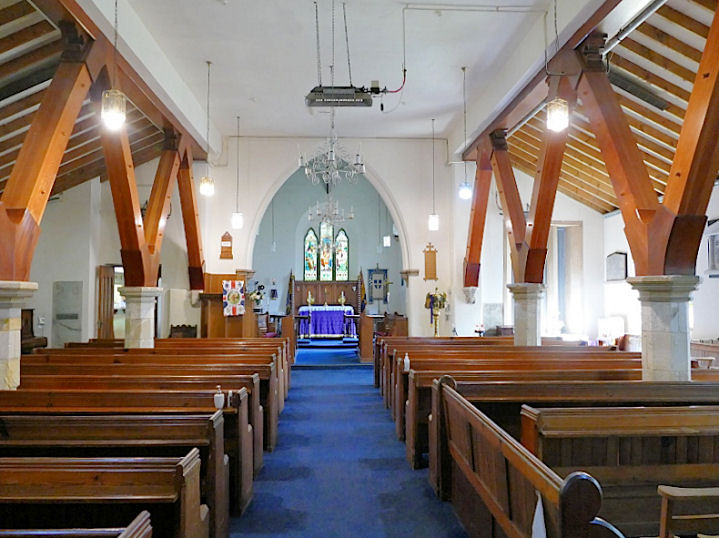
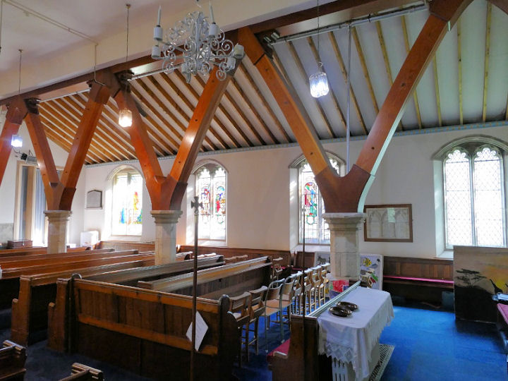
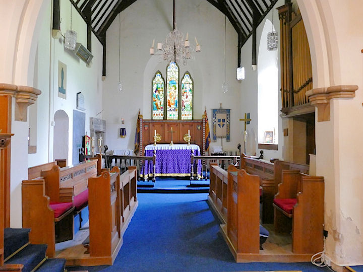
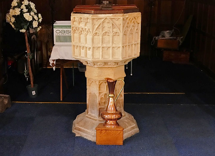
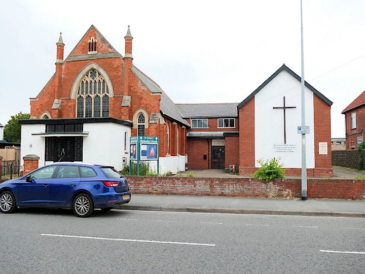
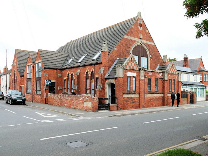
Hope House Church on Victoria Road. TF 5095 8469. © David Regan (2021). Link. St. Joseph (R.C.) on Seaholme Road. ST 5112 8444. © David Regan (2021). Link. St. Mary. Two more views - 1, 2, three of the interior - 1, 2, 3, a tomb (I think this is what the church grade II listing describes as a "dresser tomb"), and the font. TF 4978 8454. All © David Regan (2015 and 2022). Link. St. Peter's Methodist Church on Victoria Road was originally Primitive Methodist. Dated here to 1909, the congregation had previously used the adjacent schoolroom (the building with the large cross) from 1887, and before that had a chapel of 1837 on Quebec Road (so far un-located). TF 5092 8477. © David Regan (2021). The Salvation Army Church on Tennyson Road and Somersby Avenue, as seen by Streetview in 2018. TF 5066 8524. Link. The former Wesleyan Methodist Chapel on High Street, now converted into flats. It's dated here to 1868 (closed 1965), a replacement for an earlier chapel on Church Road of 1836. Although I haven't been able to discover its exact location, I have been along the road in Streetview, and can't see any obvious candidates for the chapel. TF 5037 8498. © David Regan (2021).
|
||
04 March 2023
© Steve Bulman
Contact Details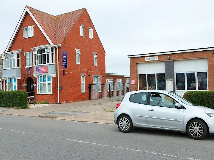