The Churches of Britain and Ireland
| Looe,
Cornwall
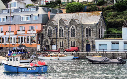
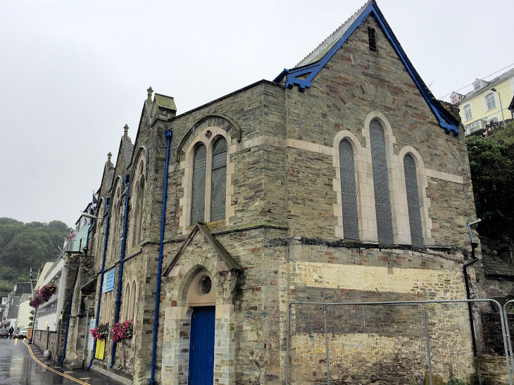
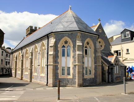
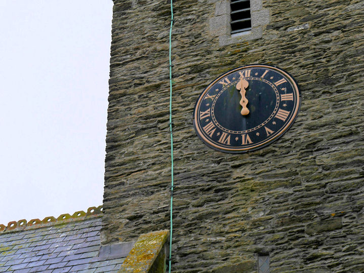
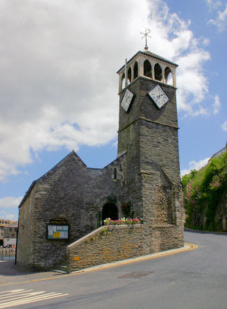
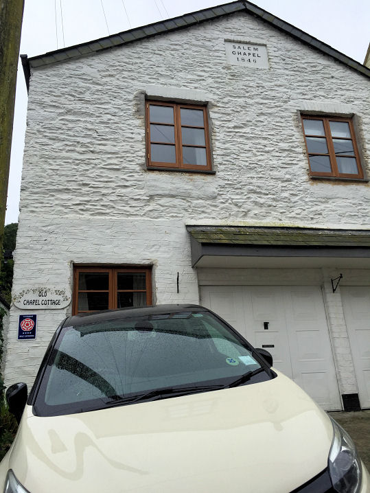
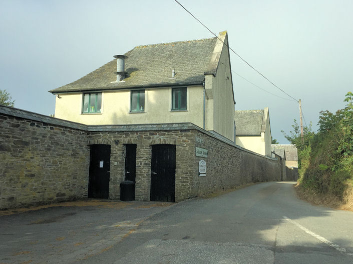
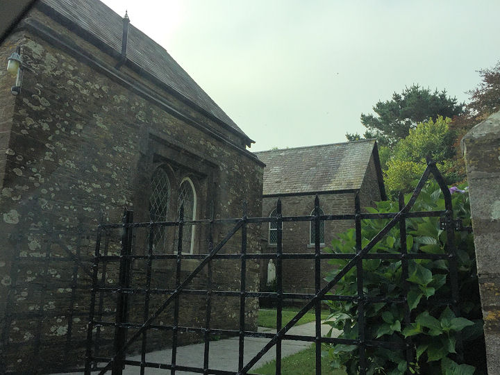
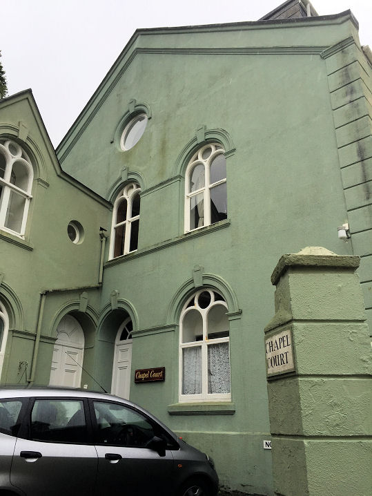
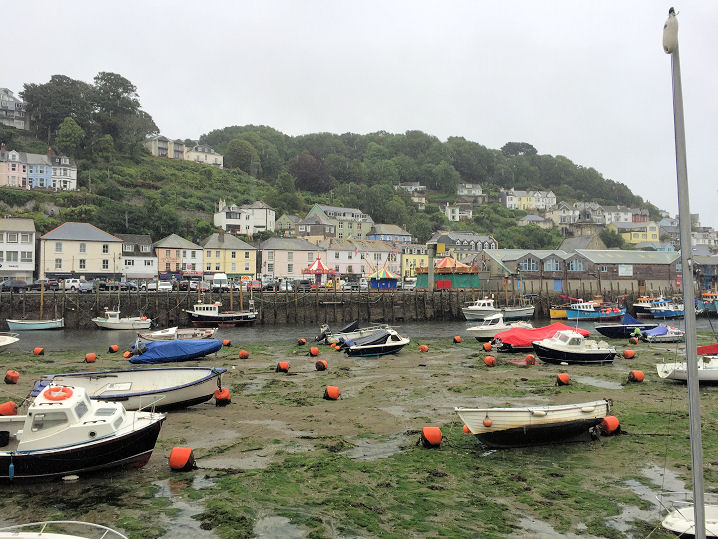
At one time there was a Bridge Chapel, dedicated to St. Anne. O.S. maps mark it at SX 2539 5351. Bridge and chapel have both vanished. Streetview photographed the view in 2016 - the bridge would have been roughly where the centre of the image is. The former Our Lady and St. Nicholas (R.C.) on West Looe Hill, as seen by Streetview in 2010. It's now in residential use, as Ada's Chapel. Genuki says it was founded in 1843, but it's curious that no available O.S. maps show it. Circa SX 2518 5315. Quayside Church. SX 254 534. © Paul E. Barnett (2017). Riverside United Church was formerly Congregational. SX 253 533. © Andrew Ross. Another view, © Paul E. Barnett (2017). The former St. Mary (now flats). SX 255 532. © Andrew Ross. The church has a one-handed clock, © John Balaam (2016). St. Nicholas. SX 253 532. © Andrew Ross. Grade II* listed. The former Salem Chapel (1846) in Looe West on Looe Hill is now in residential use. SX 251 531. © Paul E. Barnett (2017). The former Sclerder Carmelite Abbey on Sclerder Lane. It now serves as a retreat, and has as its church Our Lady of Light. Another view. SX 222 530. Both © Paul E. Barnett (2017). Link. The former Wesleyan Methodist Chapel on Shutta Road, now in residential use (flats). A distant view across the harbour (the chapel is dead centre of the photo). SX 255 534. Both © Paul E. Barnett (2017).
|
||
04 March 2023
© Steve Bulman
Contact Details