| Heanor, Derbyshire
Heanor on Wikipedia.
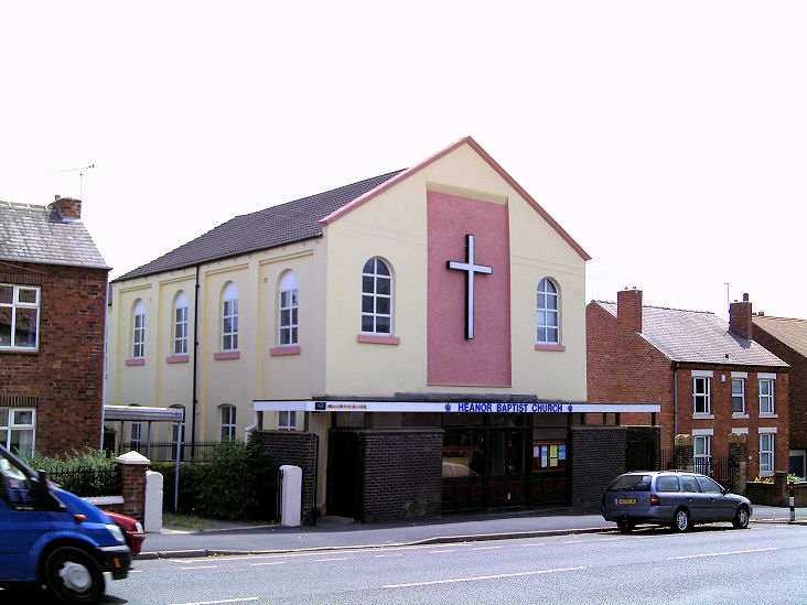
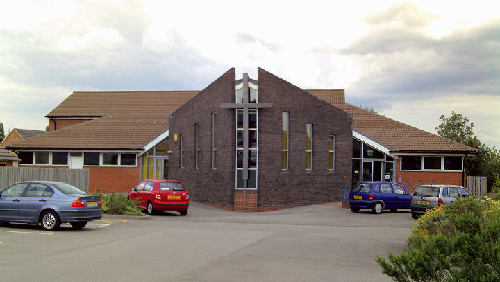
Churches in Langley, Marpool.
Baptist Church on Derby
Road. SK 4282 4625. © Gervase N. E. Charmley (2011).
Facebook.
Central Methodist Church
on Market Street. A C19 chapel with a modern frontage (this
source dates it to 1839, as Wesleyan). SK 4338 4652. © Gervase N. E.
Charmley (2011). By 2026 it was known as The Dwelling Place
(Methodist) -
link.
The
Christadelphian Hall
(2023 Streetview) is on Derby Road. SK 4299 4641.
Link.
There is or used to be a
Friends (Quaker) Meeting House on Hands
Road, at SK 4367 4641. Aerial views suggest that it may survive, hidden
from Streetview behind later buildings. This
source dates
it to 1834-1923.
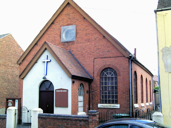
Heanor Free Church
on Midland Road. On a map revised no later than 1899 a church called
Christians' Meeting House stands on the same site. Whether the present
building is of that vintage or a later replacement is uncertain. SK 4307
4679. © Gervase N. E. Charmley (2011).
Facebook.
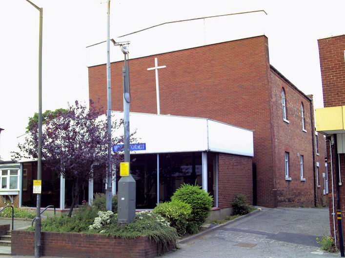
Mansfield Road Methodist Church - a tin tabernacle with a brick skin
built over. SK 4415 4680. © Gervase N. E. Charmley (2011). By 2026 it
had changed a bit in appearance, and name - now Risen Life Church.
2023 Streetview. Link.
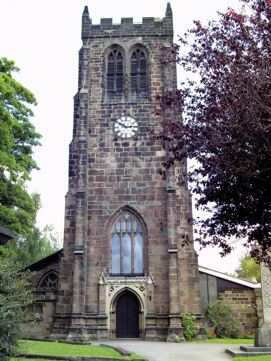
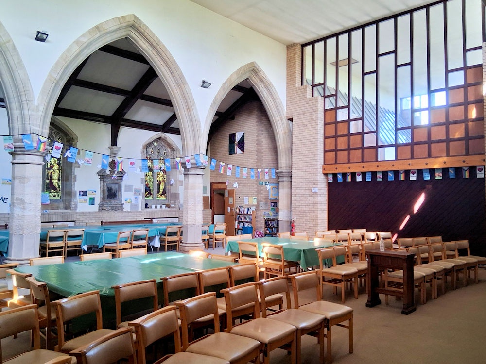
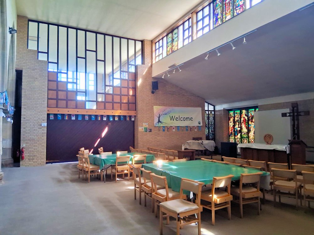
St. Lawrence, the parish
church. SK 4359 4644. © Gervase N. E. Charmley (2011). Two interior
views -
1,
2, both © Richard
Roberts (2026).
Link.
Grade II listed.
Langley
Derby Pentecostal
Church is on Breach Road, and was seen by Streetview in 2024. It
seems to be the same building shown as a Christian
Meeting House on a map from 1885. SK 4466 4613.
Facebook.
A map of 1900 shows a Primitive Methodist Chapel
on Laceyfields Road, at SK 4476 4614. It's likely to be the chapel
mentioned
here as having been built in 1892. The house on its site was seen by
Streetview in
2022. A map of1885 seems to be showing a predecessor on a different
nearby site, though as is common on the earliest O.S. maps, it's not
obvious which building the label is meant to apply to. It would have
stood along this stretch of road -
2024 Streetview,
with a building on the left (2024
Streetview) as a plausible candidate.
Marlpool
All Saints on Ilkeston
Road. Although only 100 years old this year at the time of writing
(2008) the church has been severely damaged twice; once on Christmas Eve
1949, and again in 1995, the second an arson attack. SK 4398 4587. ©
Patricia Johnson.
Link. It
post-dates a map of 1900, though was a Mission
Church a short walk further south on Ilkeston Road. Was this its
predecessor? Demolished, its site is now a car park, seen by
Streetview in
2024. SK 4404 4577.
Marlpool U.R.C. on
Chapel Street, Marlpool. SK 4419 4578. © Gervase N. E. Charmley (2011).
Link. A 1900 O.S. map shows an
otherwise unidentified Chapel just yards
away at SK 4416 4574, almost certainly its predecessor. The church
history page dates
the present church to 2004, preceded by one of 1827 (Mount Zion
Independent Chapel), that in turn preceded by an Independent Chapel of
1820-2. These latter two on the same site - now part of the church car
park -
2023 Streetview.
The cemetery at Marpool has a double
Mortuary Chapel, CoE and Nonconformist. SK
4361 4580. It was seen by
Streetview in
2024.
|