The Churches of Britain and Ireland
|
Esh Winning, County Durham
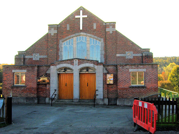
Blessed Virgin Mary, Queen of Martyrs (R.C.) on Fair View, as seen by Streetview in 2023. NZ 1902 4214. Link. Grade II listed - dates it to 1883. Methodist Church on Evenwood Road. This source dates it to 1932. NZ 1929 4168. © Steve Bruce. As of 2025, Google Streetview is showing it as "permanently closed". A map of 1897 shows a Mission Church off North Terrace at Esh Colliery, at NZ 1930 4256. It shows as still active on mid-20th century maps, but there's nothing to be seen today, as the area has been returned to green fields, and not seen by Streetview. Older O.S. maps show a Mortuary Chapel in Waterhouses Cemetery on The Wynds. Aerial views show that it has been demolished. Its site was seen by Streetview in 2024. NZ 1888 4155. There used to be a Primitive Methodist Chapel at the east side of the Esh Colliery site, at NZ 1961 4240. As for the Mission Church, the site is now in green fields, not seen by Streetview. Wesleyan Methodist Church, originally on West Terrace at Esh Colliery. It pre-dates a map of 1897. The colliery and West Terrace have both gone, and the former chapel now stands at the edge of an industrial estate. NZ 1936 4229. © Steve Bruce.
|
||
23 February 2025
© Steve Bulman