The Churches of Britain and Ireland
| Calverton, Nottinghamshire
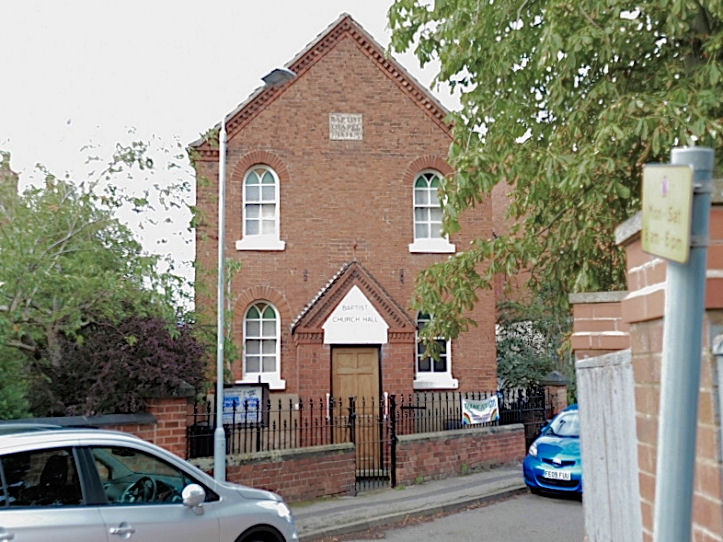
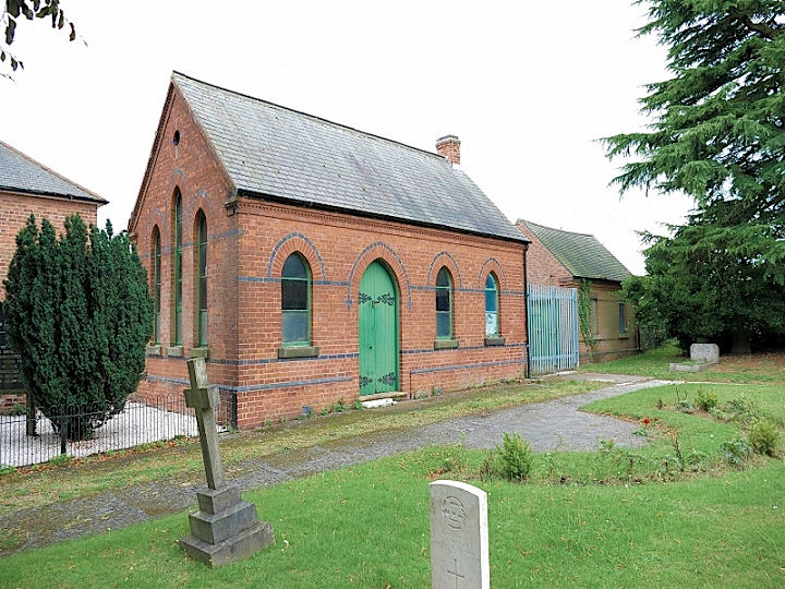
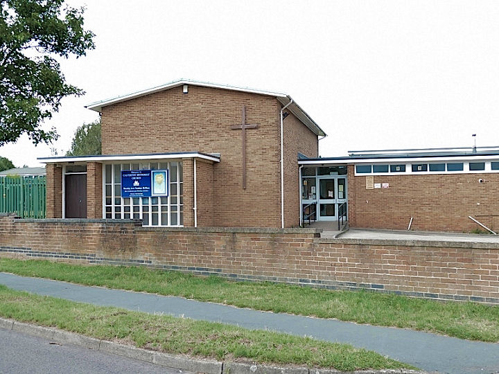
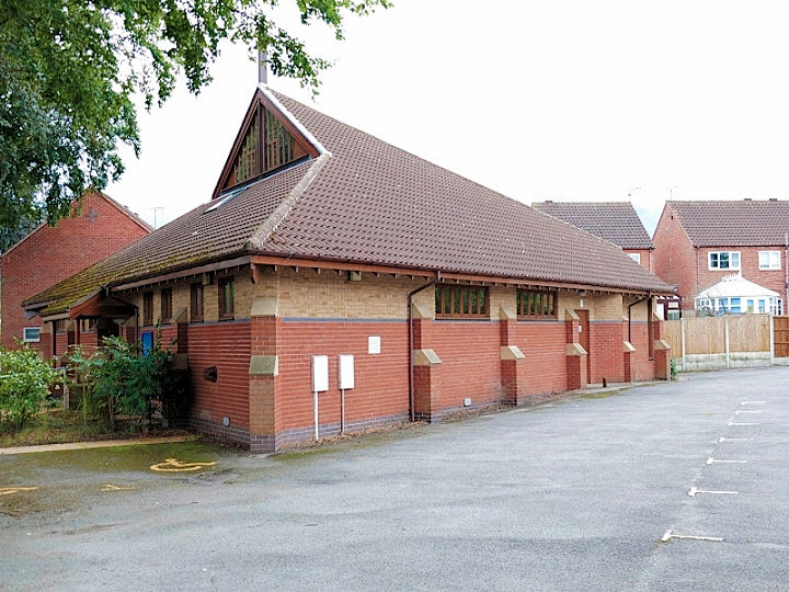
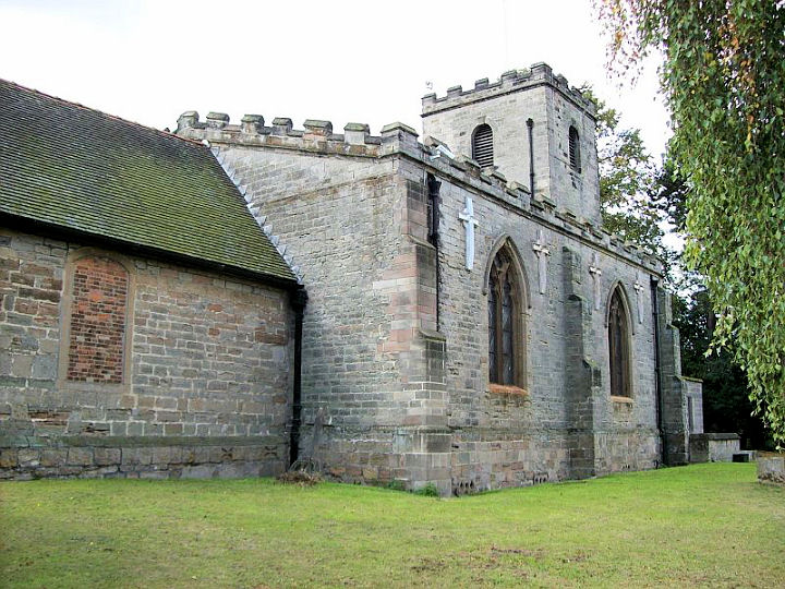
The Baptist Church, which stands on Main Street, was built as Primitive Methodist. SK 6151 4924. Its predecessor of 1832 now serves as the Baptist Church hall. SK 6157 4928. Both © David Regan (2020). Link. The Cemetery Chapel of 1886, in the cemetery on Mansfield Lane. SK 6159 4962. © David Regan (2020). The Methodist Church stands on Collyer Road at SK 6148 4946. It post-dates a map of 1951. © David Regan (2020). Link. A Primitive Methodist Chapel is indicated on the 25" O.S. map of 1900, at SK 6131 4916. It had been demolished by the time of the 1951 1" map. It stood at or just beyond where the dead tree is in this 2011 Streetview. St. Anthony (R.C.) on Mansfield Lane. © David Regan (2020). Link. St. Wilfred. Another view. Both © David Regan (2011). Link. Grade II* listed. A
United Methodist Church is indicated on the
25" O.S. map of 1900, at SK 6110 4932. It can be seen
here on a 2008
Streetview, at which time it was (or had been) the village hall. If you
move a little way further up the lane and look at the chapel end-on, and
zoom in to the white-painted stone between the windows, the word "BIBLE"
can be seen.
|
||
18 July 2025
© Steve Bulman
Contact Details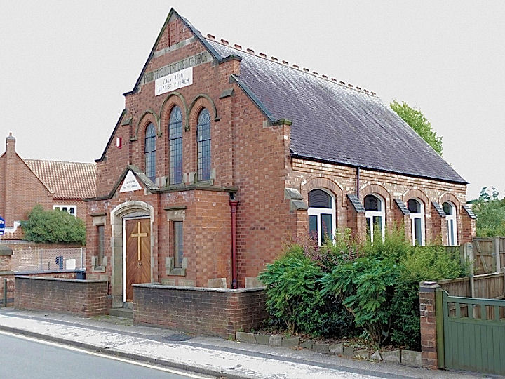