The Churches of Britain and Ireland
| Brimington (including
Brimington Common and New Brimington), Derbyshire
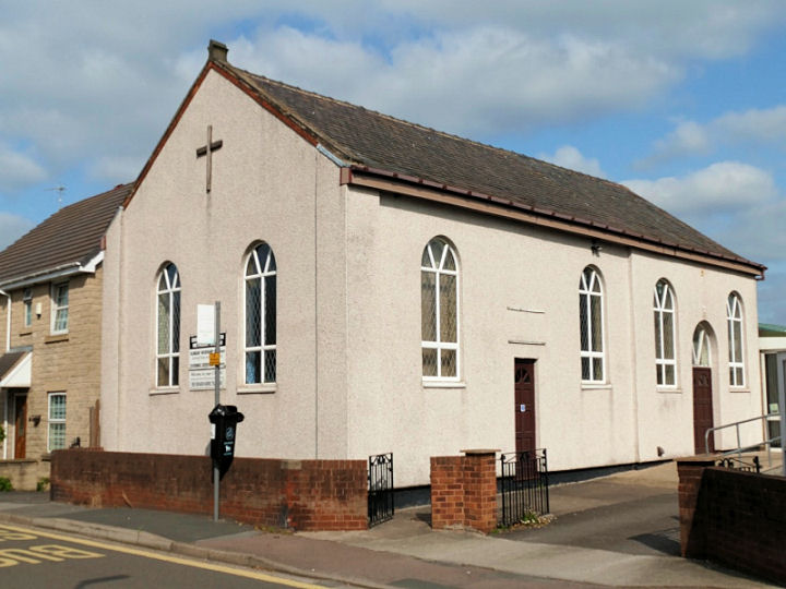
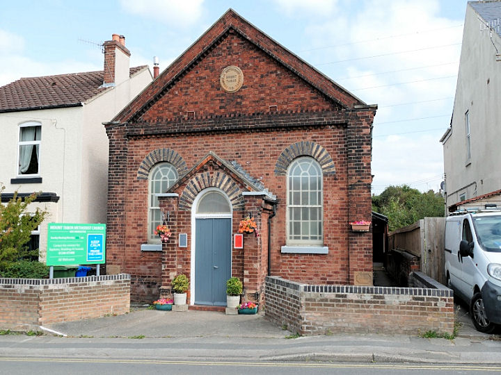
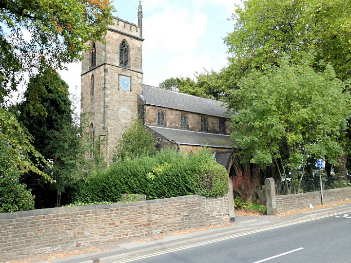
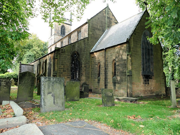
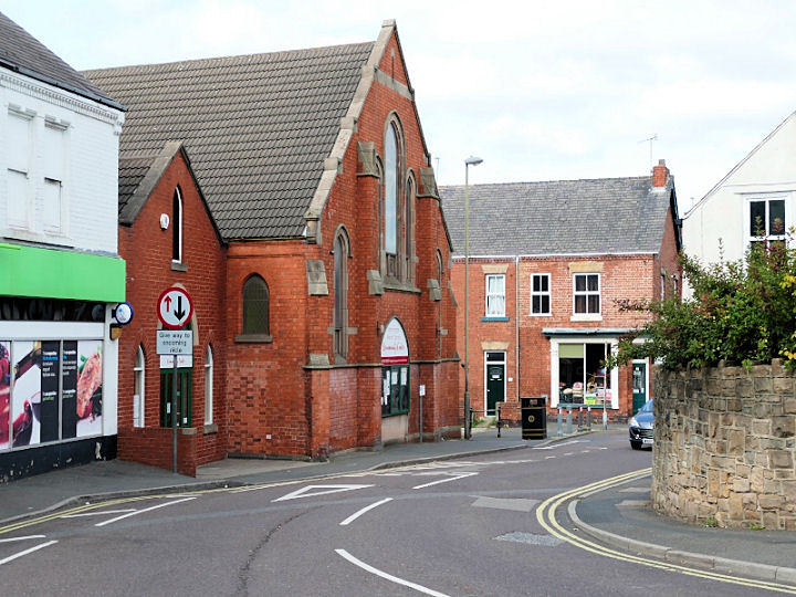
Bethel Primitive Methodist Chapel stood on Ringwood Road, at SK 4065 7355. Its My Primitive Methodists entry dates it to 1864, and has photos. The site today (2019 Streetview) is occupied by a caravan sales business. Brimington Common Methodist Church. The 1898 25" O.S. map marks this as Ebenezer Chapel (Prim. Meth); its My Primitive Methodists entry dates it to 1867. SK 4083 7210. © David Regan (2020). A double Cemetery Chapel is marked on the 1898 26" O.S. map, Church of England and Non-Conformist. In this 2019 Streetview, the chapels can be seen in the distance, with the Non-Conformist Chapel to the left of the archway. SK 3987 7307. The Crematorium Chapel is slightly further south-west, and can be seen in this 2019 Streetview. Circa SK 397 729. The Congregational Church on Chapel Street. SK 4056 7383. © David Regan (2020). Link. The Methodist Church stands on Hall Road. © David Regan (2020). Link. Another Methodist Church stands on Victoria Street, New Brimington. It was originally Mount Tabor Primitive Methodist Chapel, and has a date-stone for 1881. SK 4086 7415. Both © David Regan (2020). Link1. Link2. St. Michael and all the Angels (1796). Another view. SK 4050 7353. Both © David Regan (2020). Link. The grade II listing mentions a preceding medieval church (though whether it was on the same site isn't clear), and an engraving of it from 1785, but I haven't been able to find an image of it on-line. The former Wesleyan Methodist Chapel on High Street and Heywood Street. SK 4050 7362. The 25" O.S. map of 1916 labels this building as "Sun. Sch.", with the Chapel round the corner on Heywood Street, but there are sources which say the building in David's photo was the chapel; perhaps it was both at different times. © David Regan (2020).
|
25 October 2020
© Steve Bulman