The Churches of Britain and Ireland
| Brandon, Suffolk
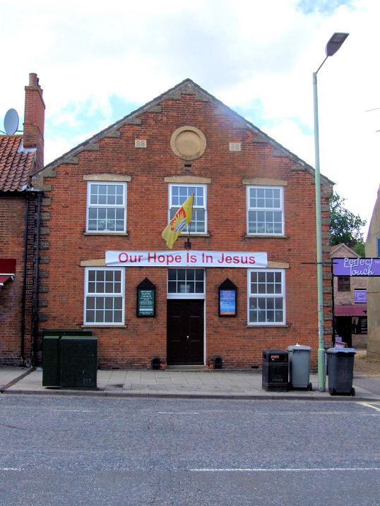
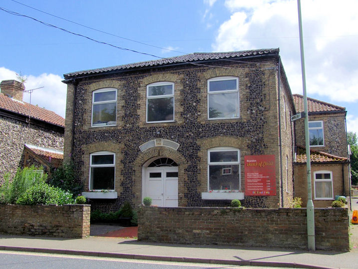
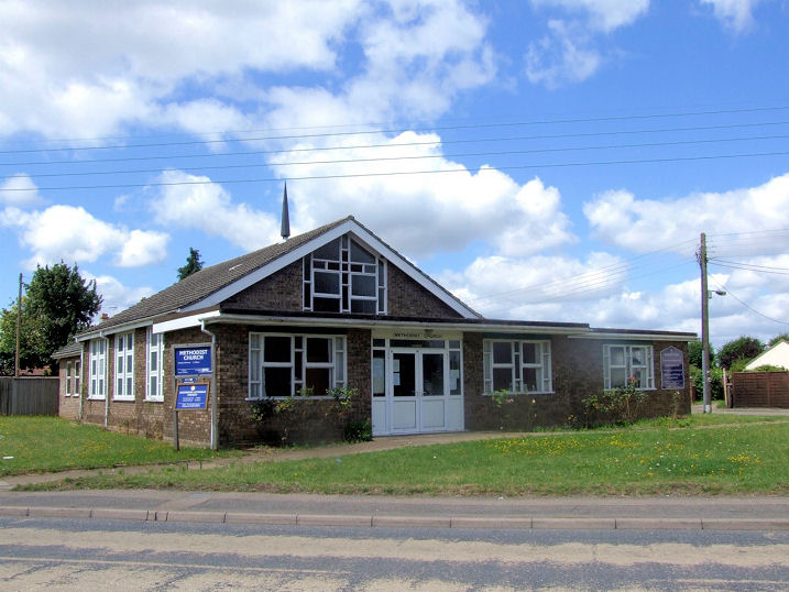
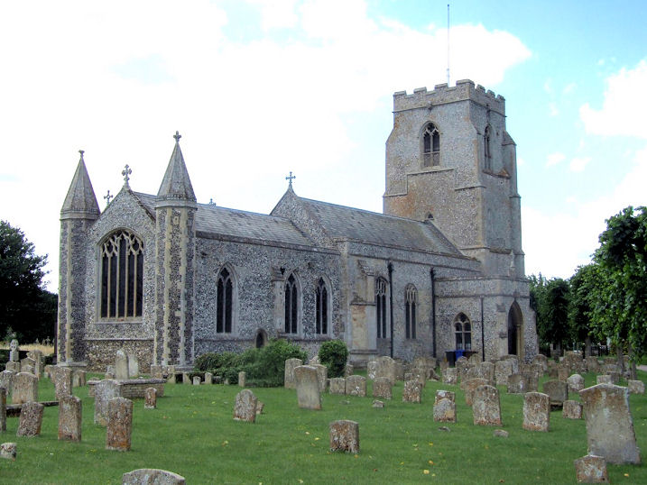
Baptist Church (1854) on High Street. On a map of 1884 it's labelled as Baptist Chapel (Particular). TL 7837 8667. © Richard Roberts (2017). Link. Church of Christ on London Road occupies the former Wesleyan Methodist Chapel of 1811. TL 7819 8637. © Richard Roberts (2017). Link. Harvest Centre Church (2023 Streetview) stands on Fengate Drove. TL 7804 8739. Link. Genuki quotes an old directory of 1868 which says that there was a Latterday Saints Chapel hereabouts, presumably the Church of Jesus Christ of Latter-day Saints, but I haven't been able to discover its location. Kingdom Hall of Jehovah's Witnesses is on a side road off Fengate Drove. It can be seen in a Streetview from 2021, taken from Brandon Road. TL 7823 8735. Methodist Church (1970's) on London Road and Church Road, on the site of an earlier Wesleyan building or buildings. Genuki quotes an old directory of 1868 showing that Wesleyans were here at that time. The Ascension Lutheran Church also meets here. TL 7806 8626. © Richard Roberts (2017). Link. The medieval St. Peter at Church End was restored in 1873. TL 7770 8617. © Richard Roberts (2017). Link1. Link2. Grade I listed. The war memorial is listed at grade II. A Primitive Methodist Chapel seems to have stood on George Street. Unusually the O.S. maps are confusing. The 6" map of 1906 has a blacked-in building, usually reserved for places of worship or schools, but it isn't labelled. The 25" of 1905 has a label but it seems to be intended for a building a little further to the west. In 1953 we are back to the blacked-in building (with no label), and it isn't indicated at all on mid-20th century maps. Genuki, which favours the "blacked-in" building, dates it to 1838 to "before 1953". Assuming the O.S. hasn't totally misled us, and had it survived, it would probably have been visible in a 2024 Streetview (on the right side of the road). Older O.S. maps show a Primitive Methodist Chapel on north side of The Street in the then separate settlement of Town Street, at TL 7711 86054. It pre-dated the 1905 map, and the same chapel seems to be shown on the 1887, though the label doesn't clearly show which building is intended. Assuming we are only discussing the one building it has since been demolished, and its site was seen by Streetview in 2009. An old photo of it can be seen here. O.S. maps show Bromehill Farm On Site of St. Mary & St. Thomas ŕ Becket's Priory. This source says that remains were still to be seen in 1738, but nothing remains above ground today. Its site hasn't been seen by Streetview. TL 7901 8767. St. Thomas of Canterbury (R.C.) on Brandon Road, as seen by Streetview in 2023. It's dated here to 1976, replacing a wooden church of 1923. That it stood on the same site is shown by a map of 1957 which shows a place of worship in the same place. At the time of writing, an old postcard of the first church can be seen here. TL 7825 8734. Link.
|
||
05 June 2026
© Steve Bulman