The Churches of Britain and Ireland
| Boldon (East and West), Tyne and Wear
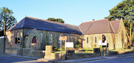
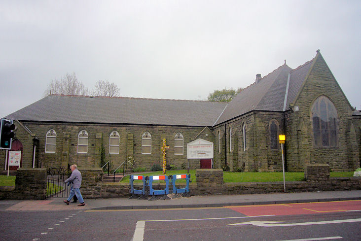
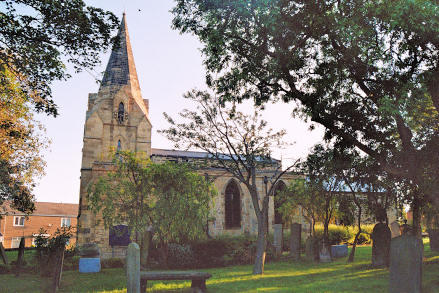
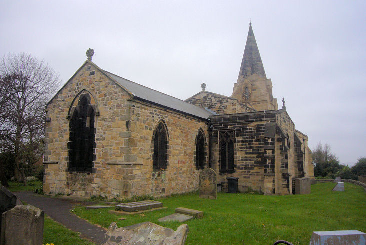
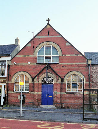
East Boldon Methodist Church, on Front Street, Wesleyan on older maps. NZ 3598 6136. © Peter Morgan. Another view, © James Murray. In 2026 Google maps is labelling it as "permanently closed". This source says it was closed in April 2025. Living Waters Church meets in a Scout hut on North Lane, seen by Streetview in 2024. NZ 3647 6134. Link. The cemetery on Dipe Lane has a double Mortuary Chapel - 2024 Streetview. Old maps show the nearer chapel to have been CoE, and the other Nonconformist. This source dates the cemetery to 1872. NZ 3541 6098. St. George the Martyr on Front Street. Pevsner dates it to 1920-3. NZ 3659 6121. © Peter Morgan. Another view, © James Murray. Link. St. Nicholas. NZ 3510 6113. © Peter Morgan. Another view, © James Murray, and an old postcard view, from Reg Dosell's Collection. Link. Grade I listed. And see here for related listed features. This building on Front Street is obviously a former chapel, but available maps don't enlighten us as to exactly what it was - can you advise? Built before 1895, it still seems to have been active in 1939. NZ 3641 6132. © Peter Morgan.
|
||
27 April 2026
© Steve Bulman